


Ötztaler Urweg E6 Obergurgl - Vent
Poziom trudności: T5
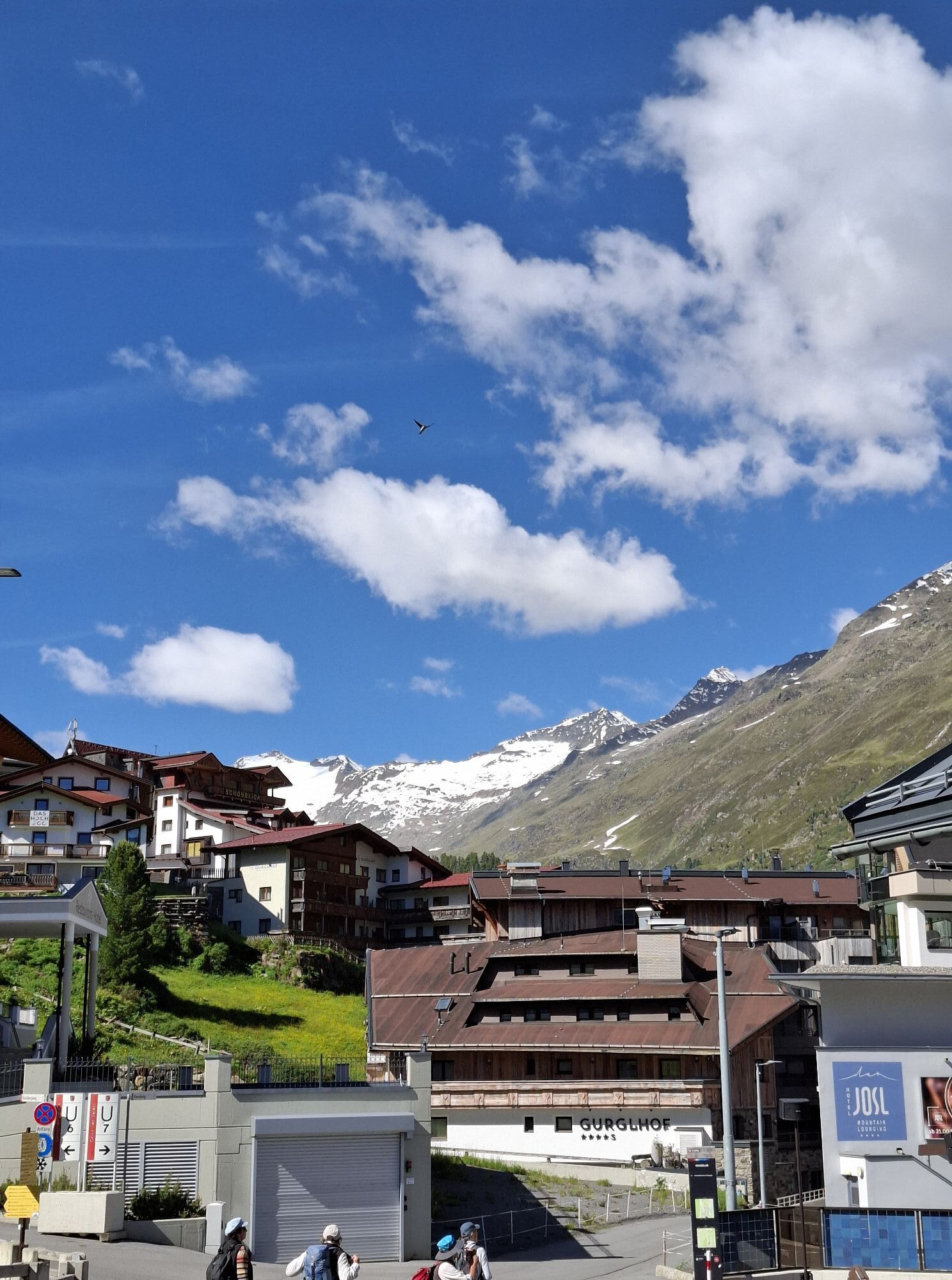

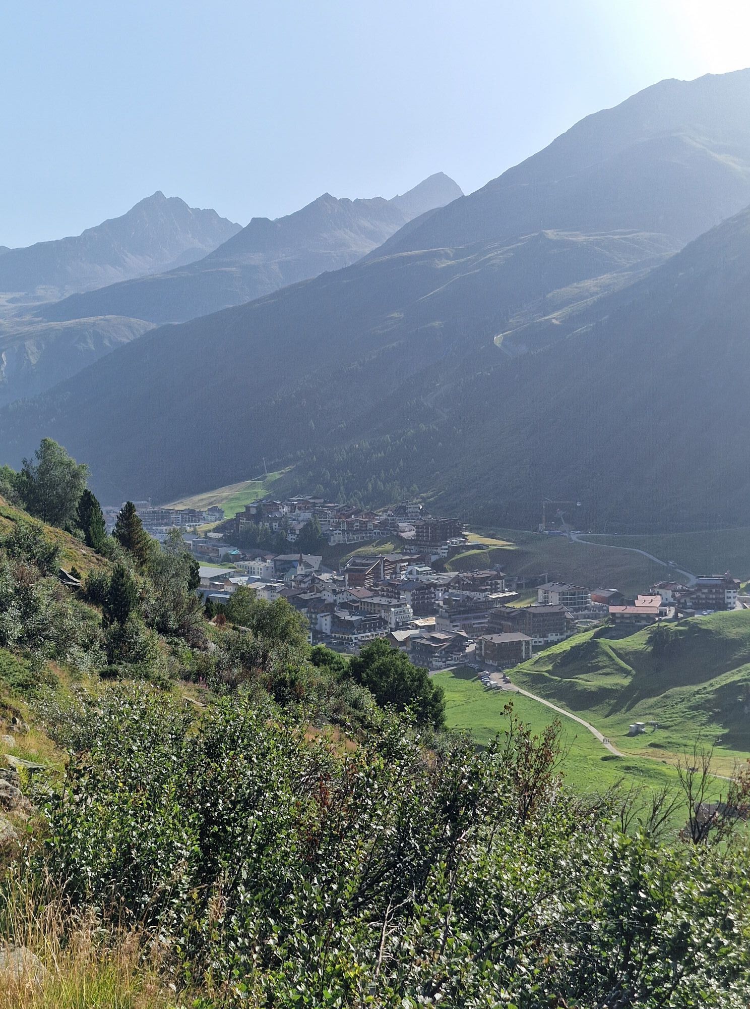
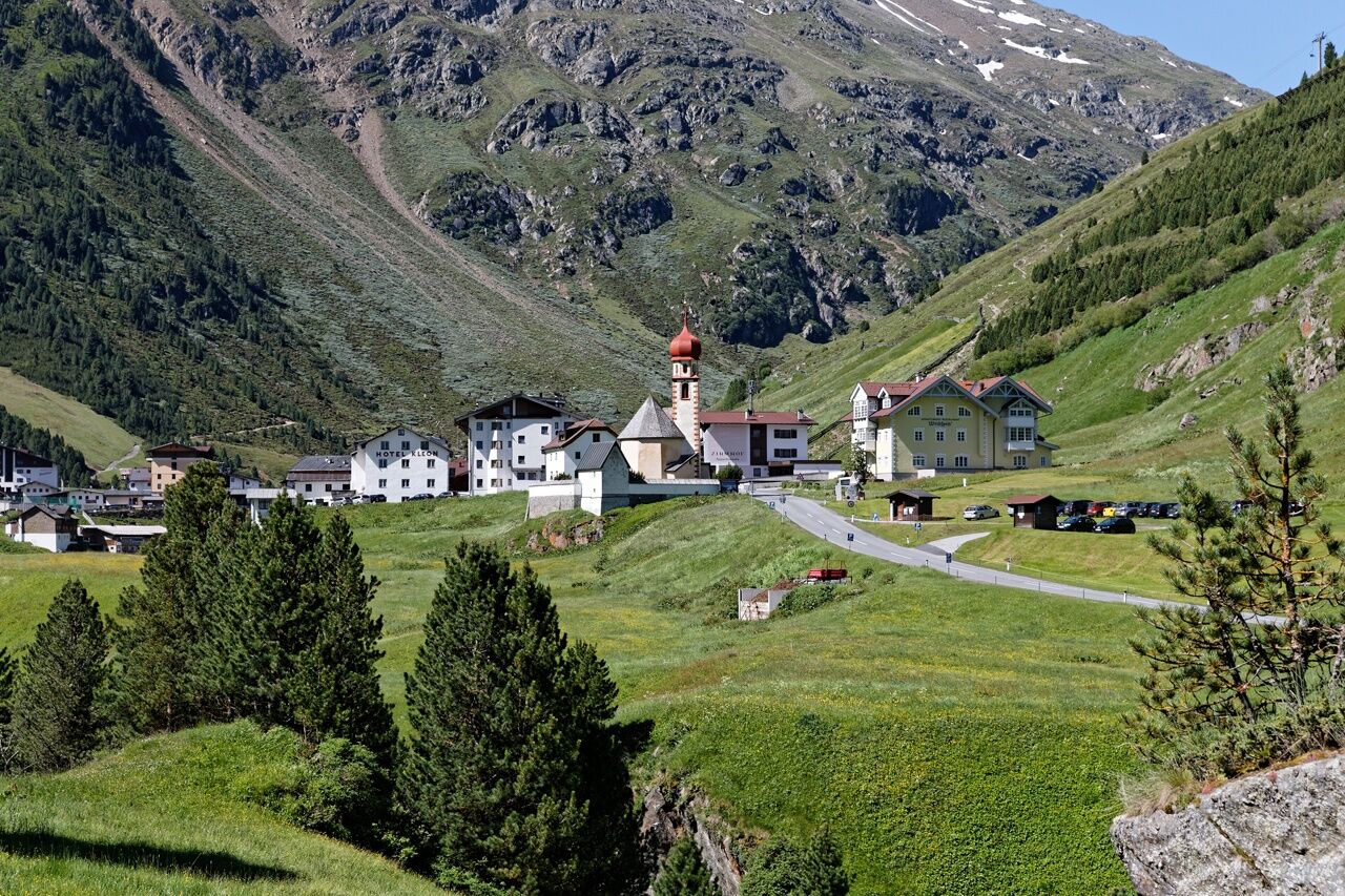
REACHING HIGH - FROM THE GURGL VALLEY TO THE VENT VALLEY
Prof. Auguste Piccard made the small mountain farming and glacier village internationally famous with his emergency landing in 1931 at the Gurgler...
REACHING HIGH - FROM THE GURGL VALLEY TO THE VENT VALLEY
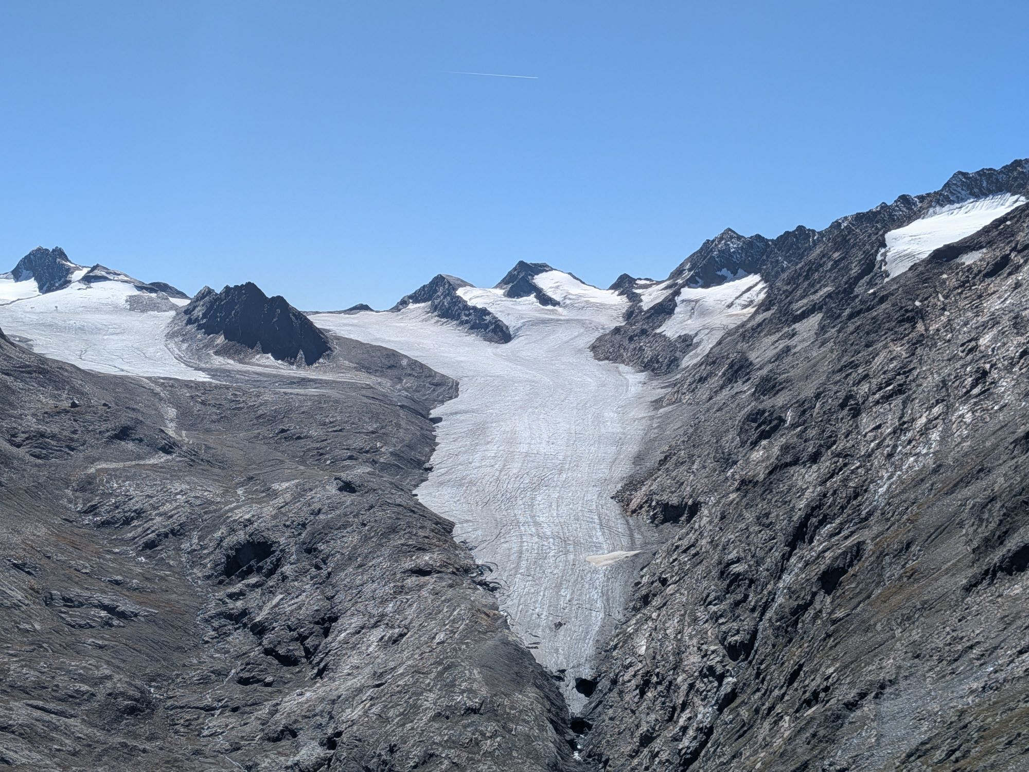
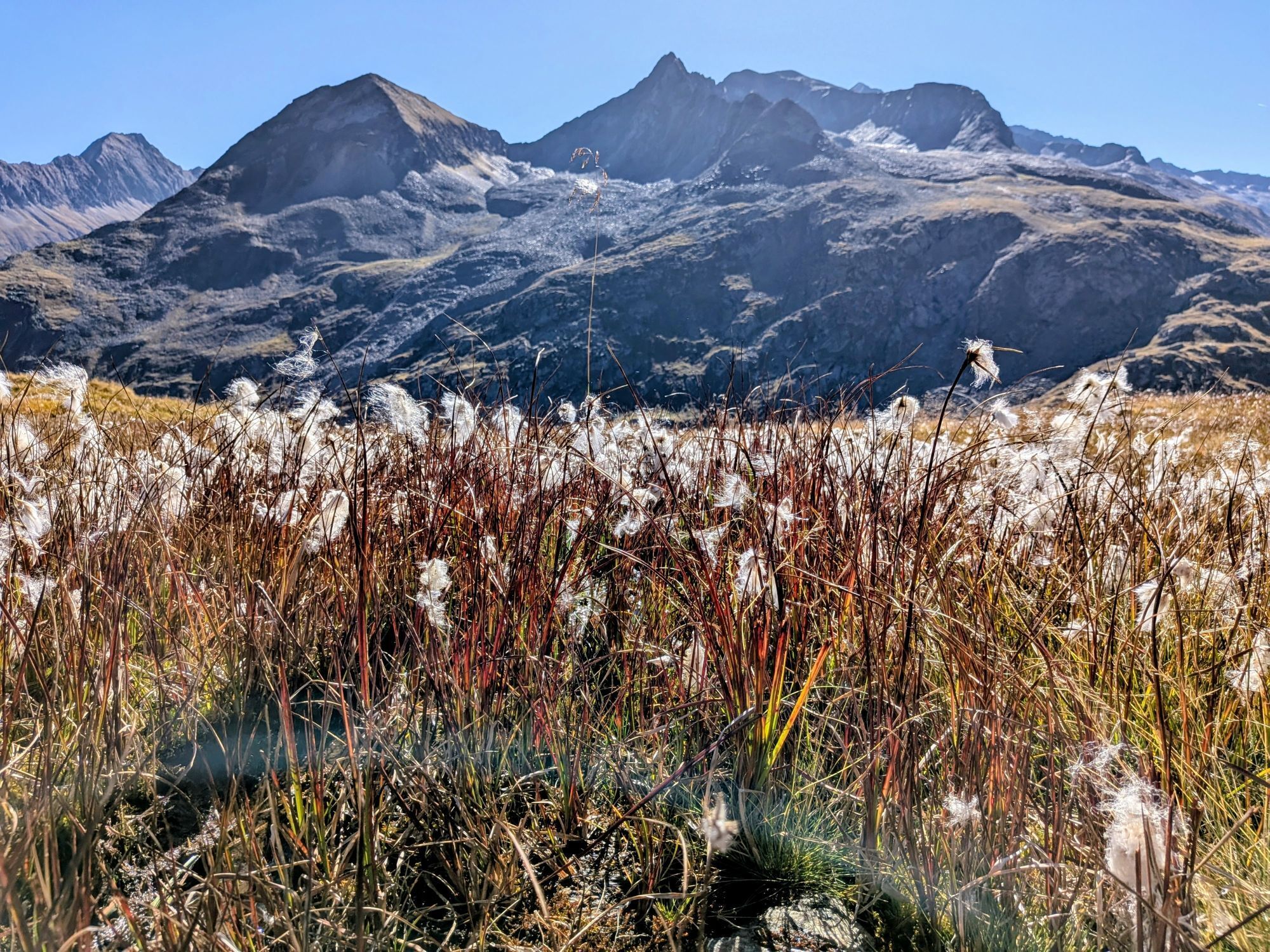
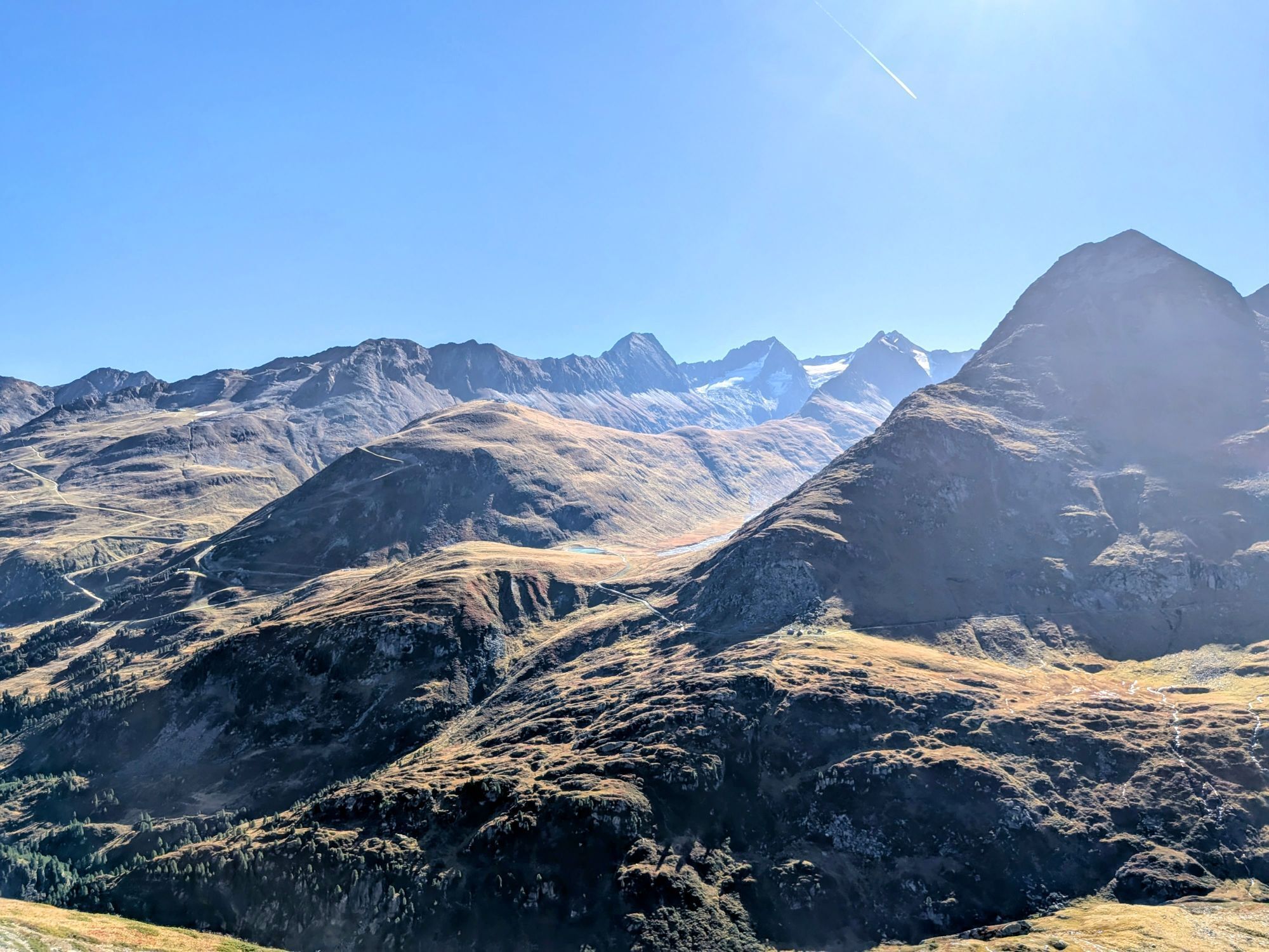
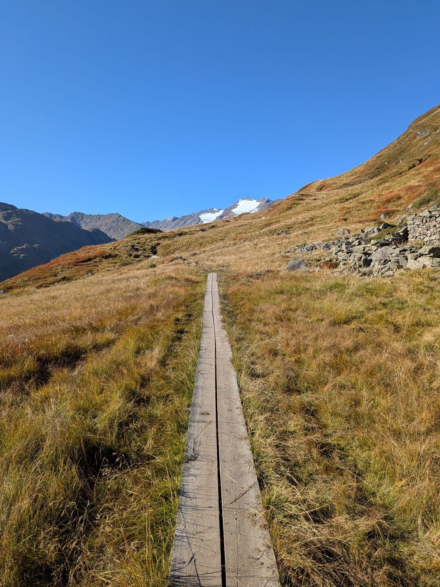
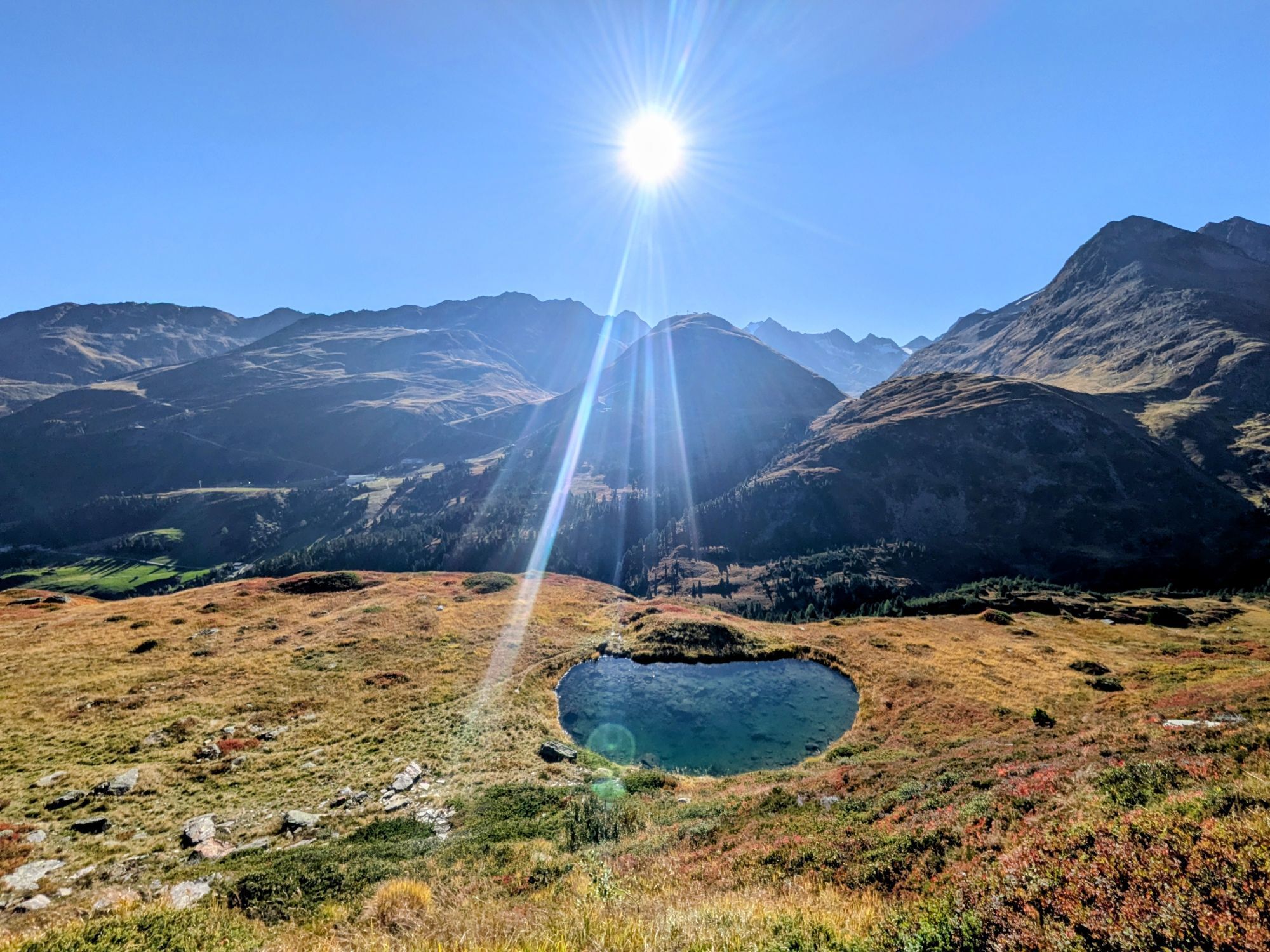
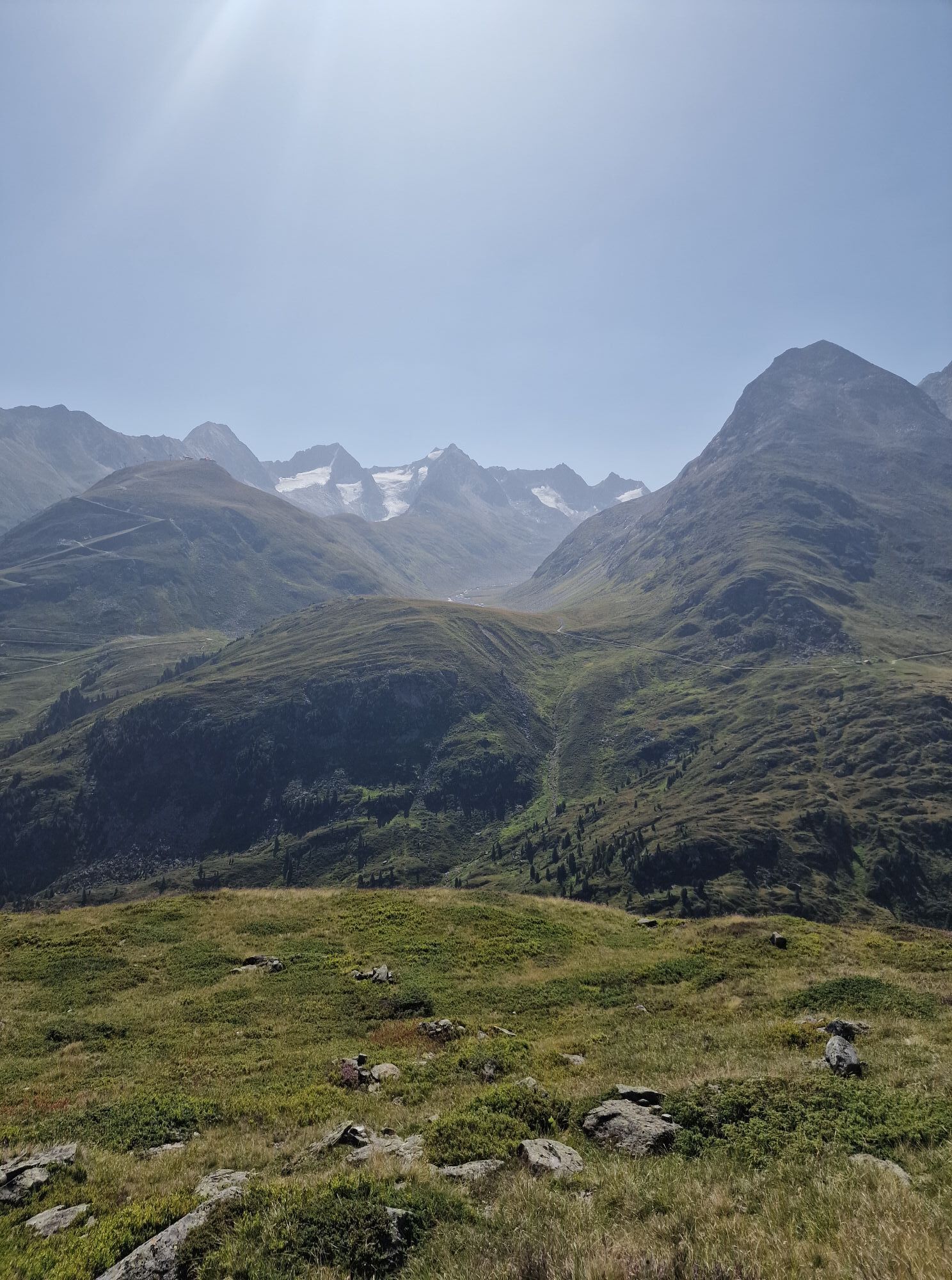
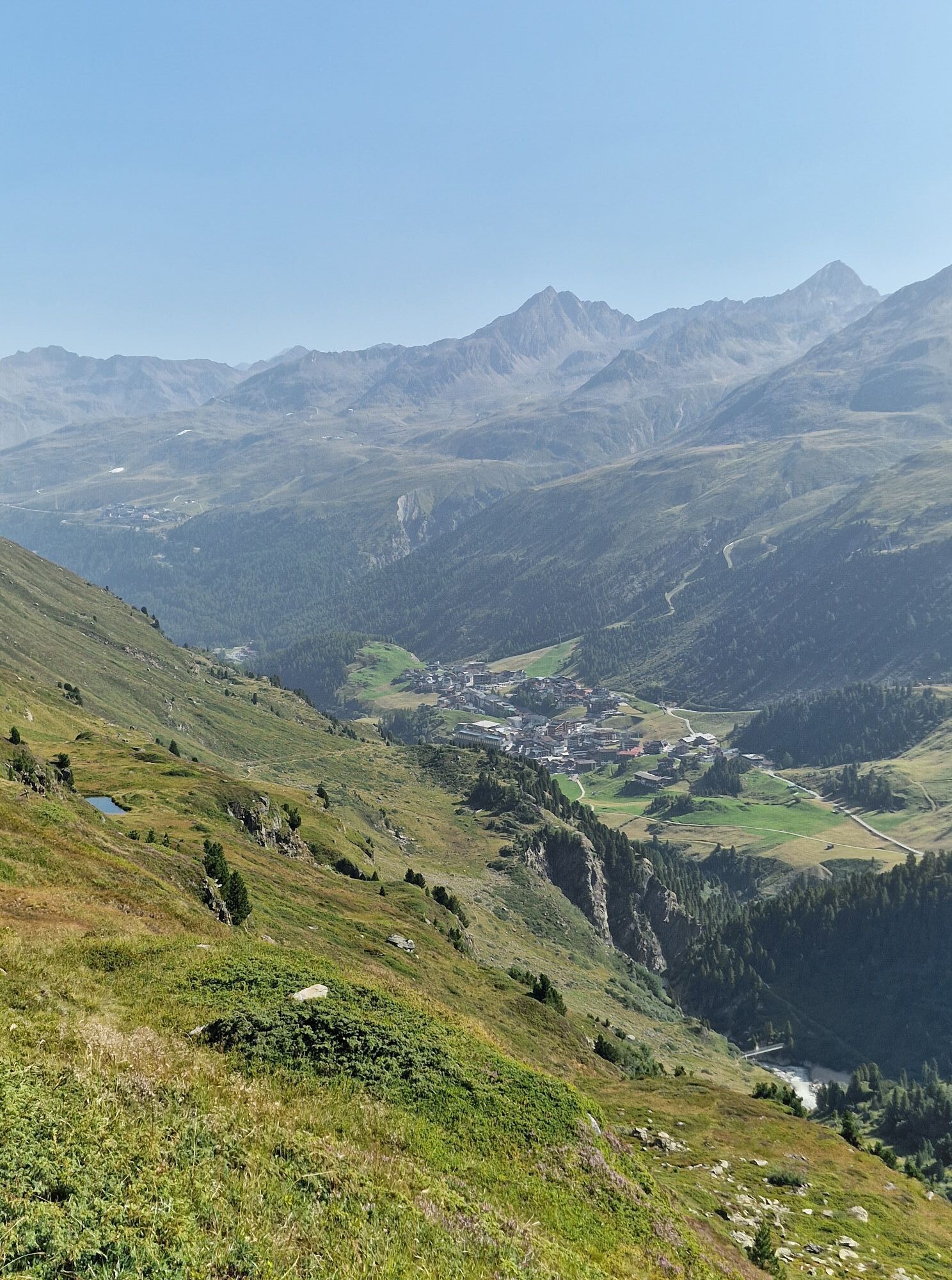
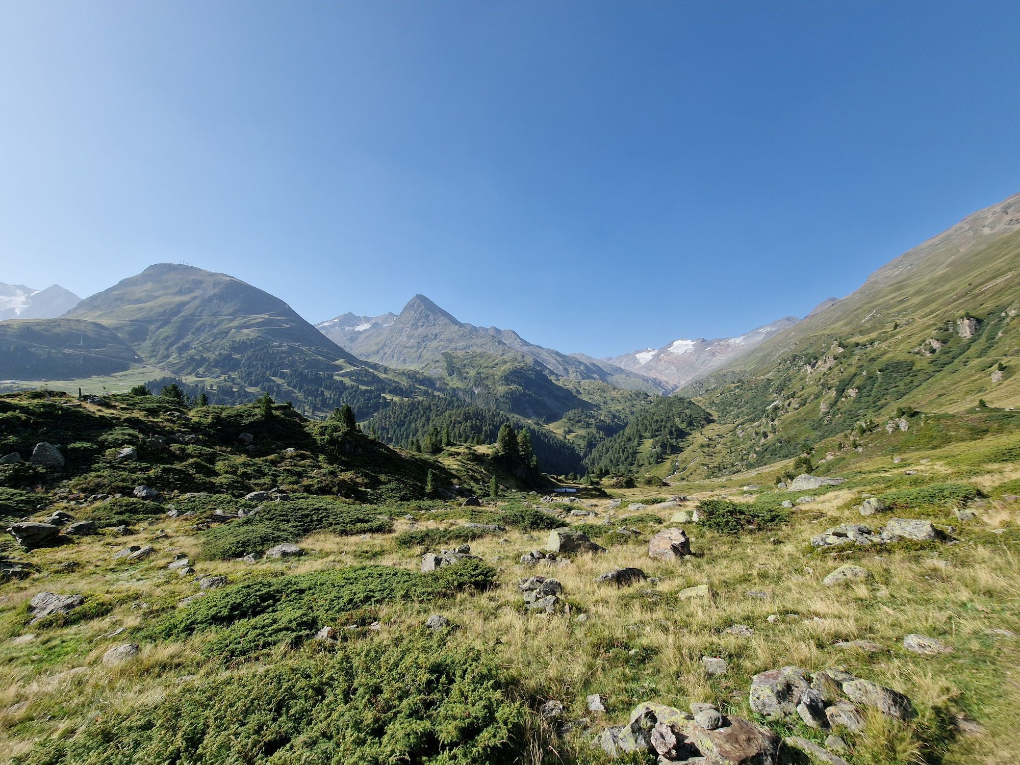
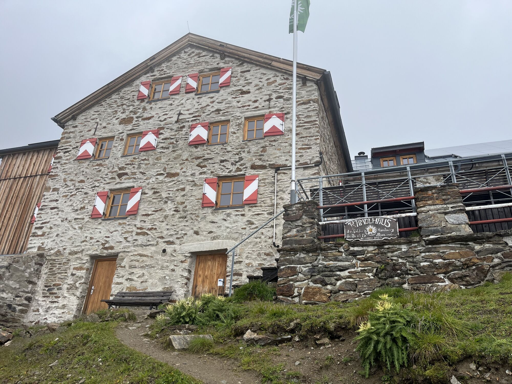
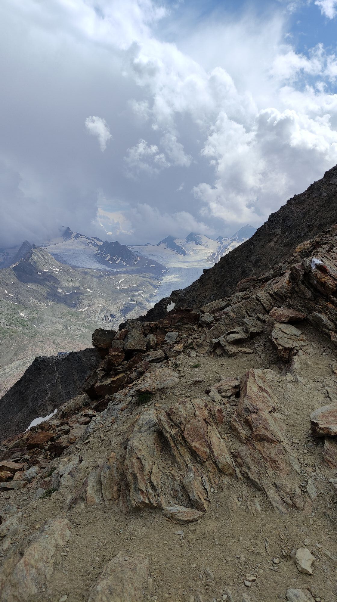
Prof. Auguste Piccard made the small mountain farming and glacier village internationally famous with his emergency landing in 1931 at the Gurgler Ferner. He and his assistant started that day in Augsburg on a scientific high-altitude flight and were the first humans to reach the stratosphere in a balloon at 16,000 m before they had to make an emergency landing in the glacier village. This high alpine route reveals the full power of the unique glacier world. Like an eagle's nest, the Ramolhaus looms high above, having always been a refuge in this bizarre world. At the Ramoljoch at 3,187 m, the real highlight of this long-distance hiking trail is reached, opening a backdrop where the true stars such as the Wildspitze, the Similaun, and the Hochfirst line up. The destination of this high-altitude excursion is the mountaineering village Vent, the cradle of mountaineering.

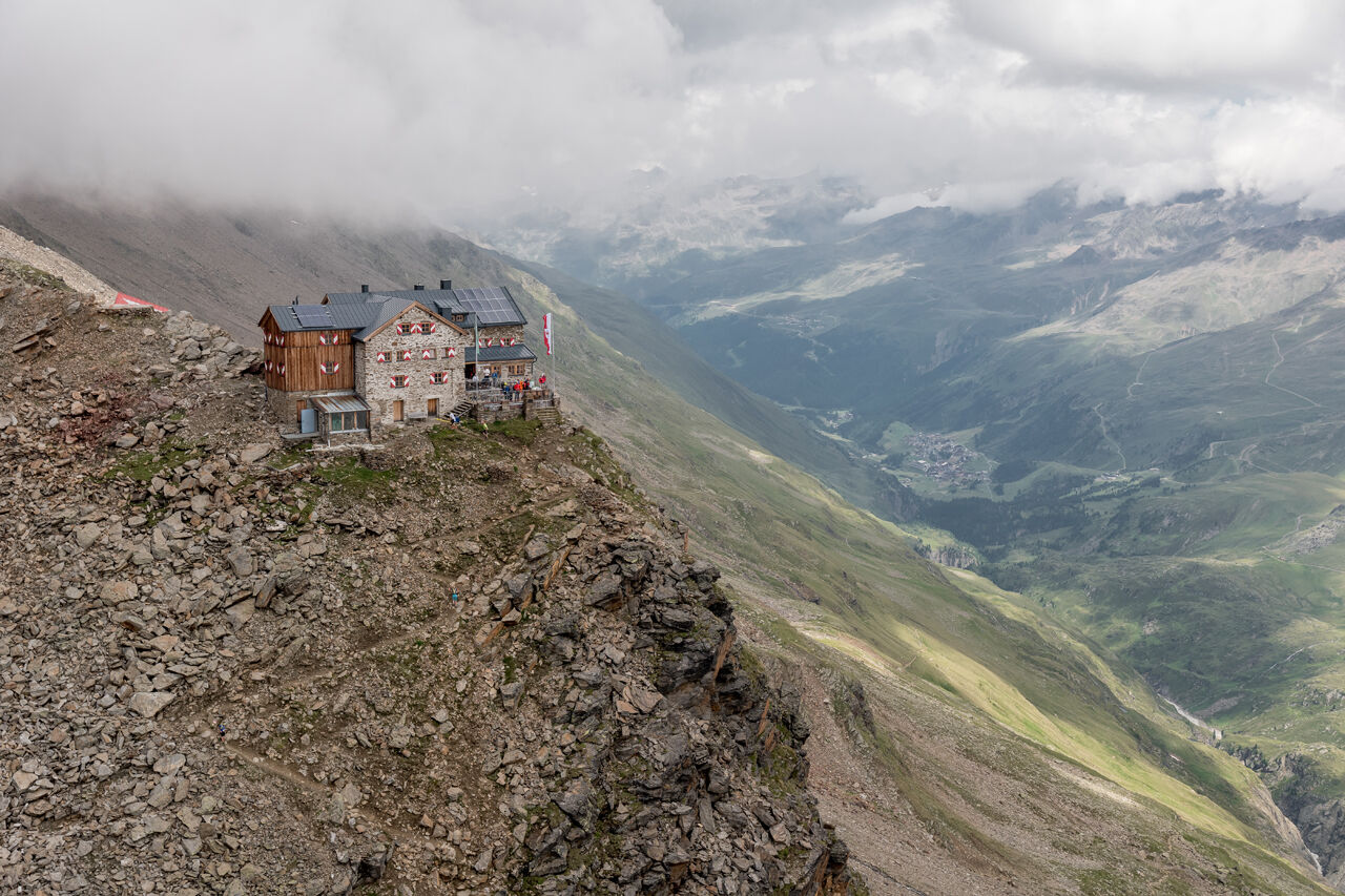
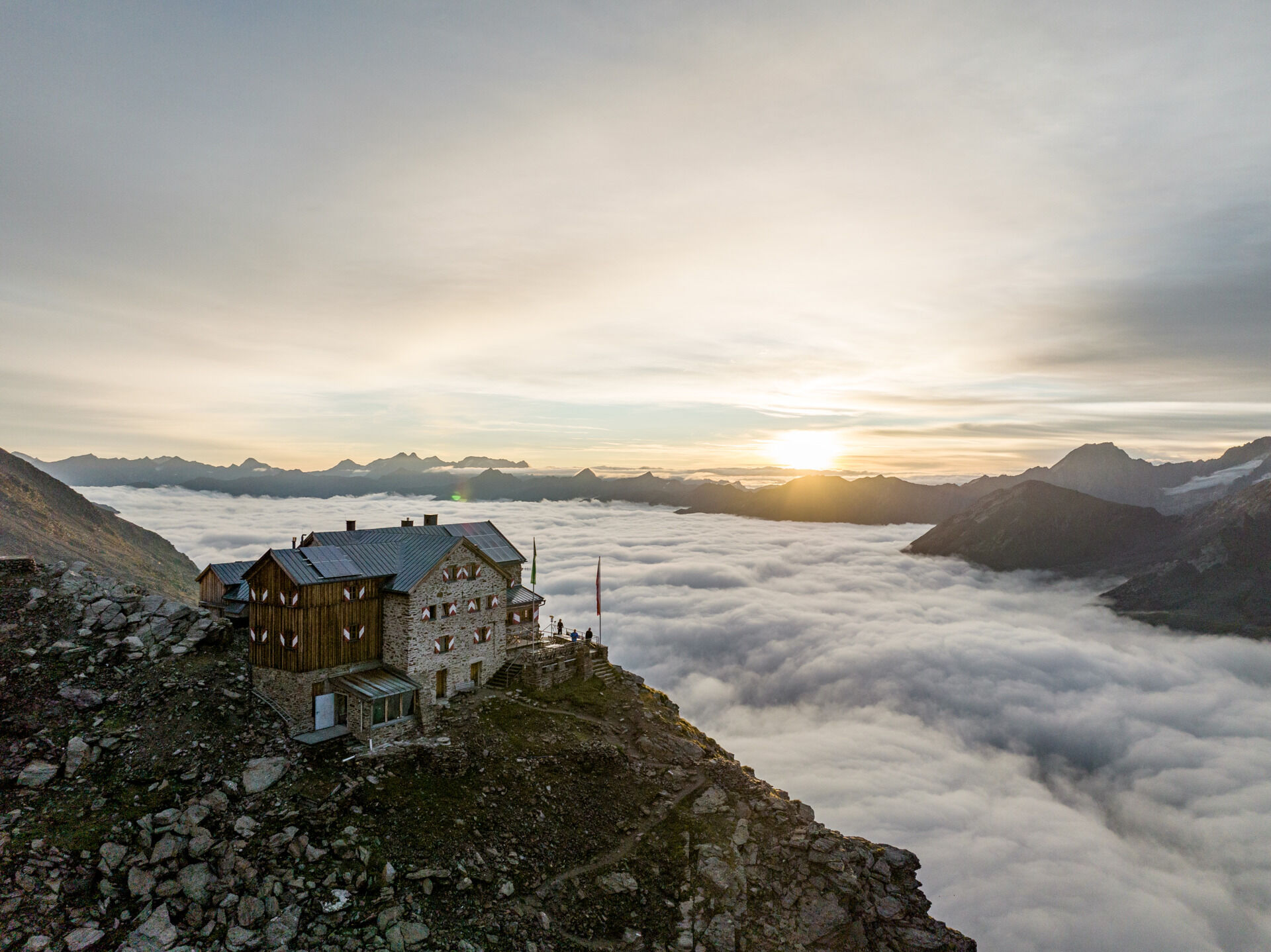

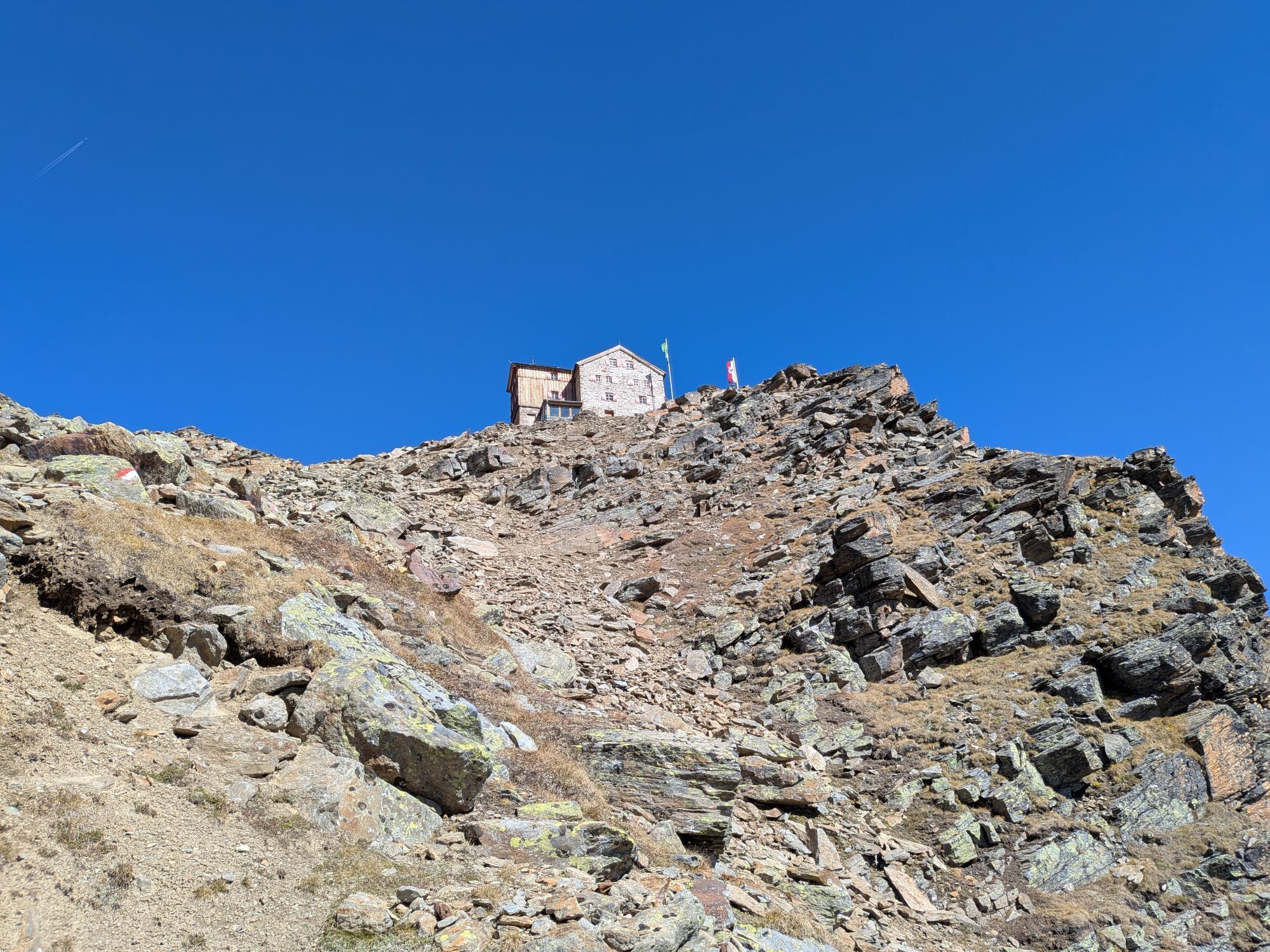
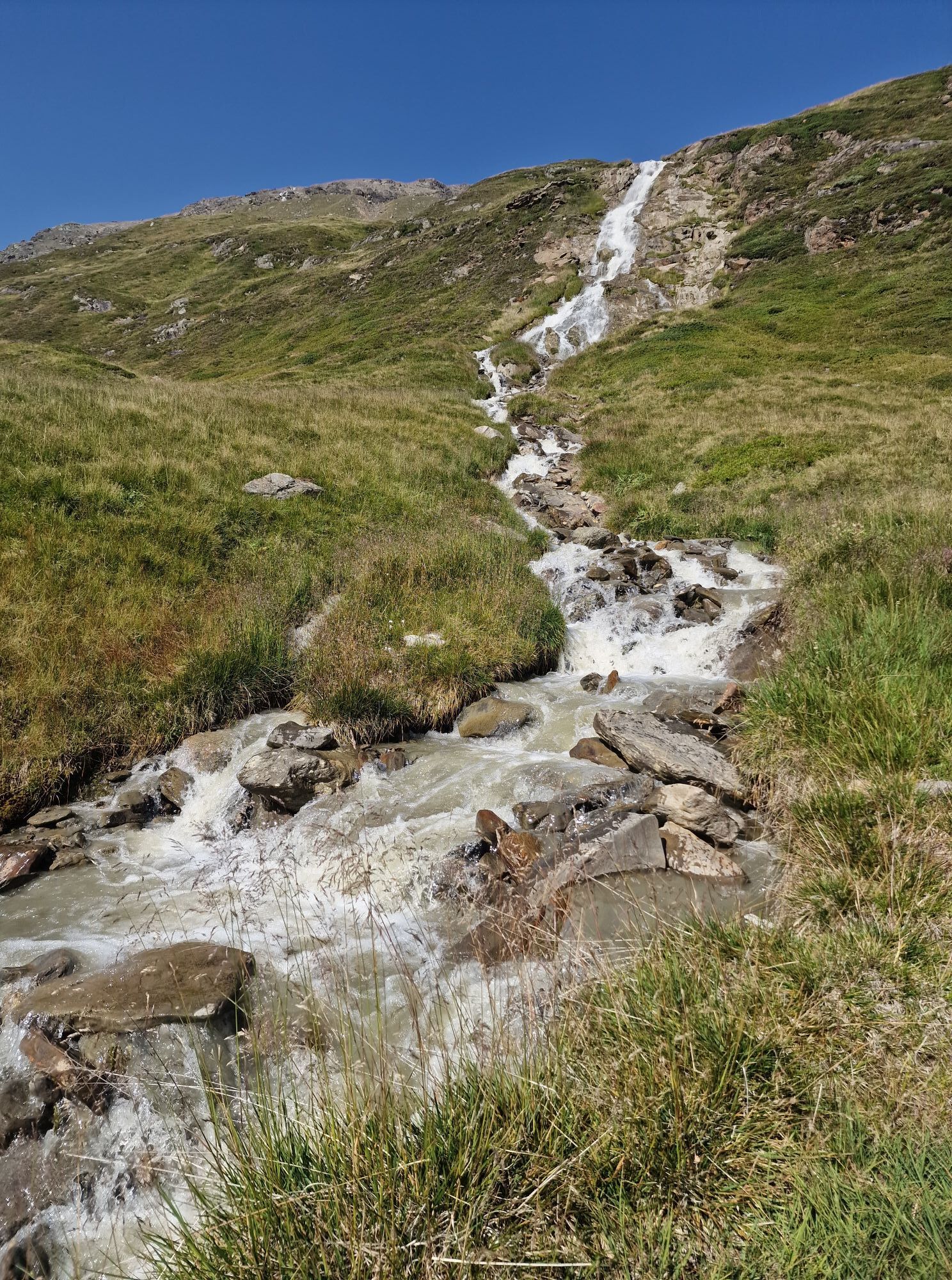
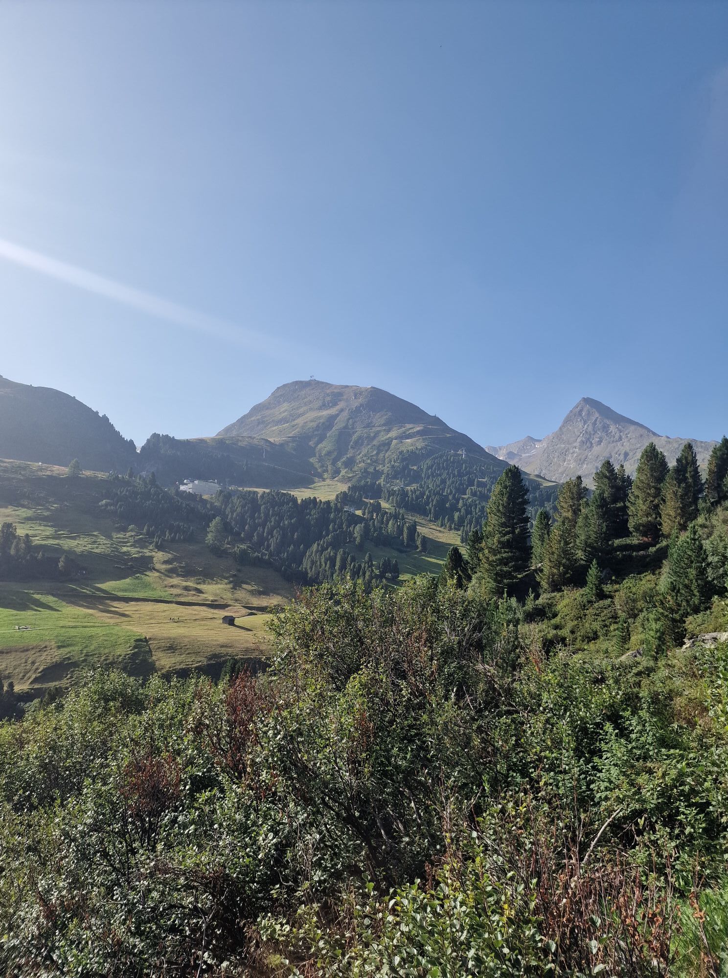
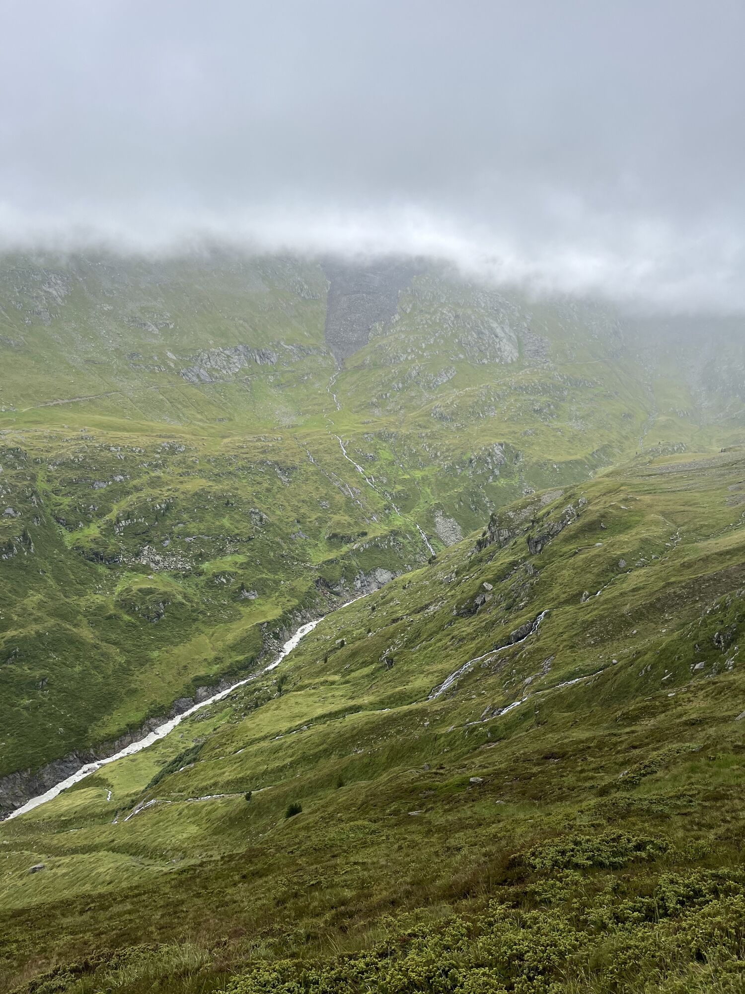
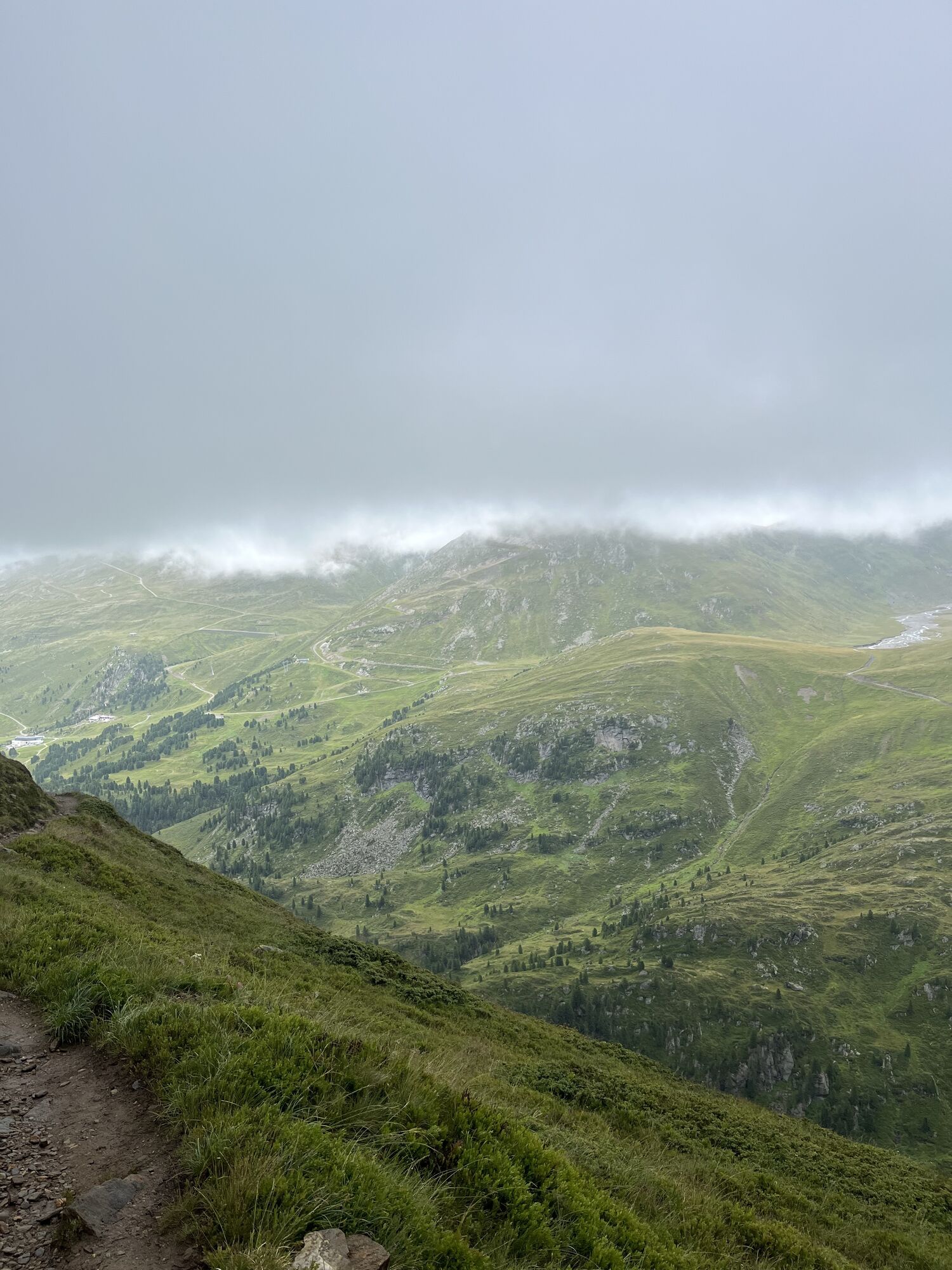
From the town center, follow the signposted path to the Gurgler Ache. From there, ascend over steep grassy slopes and cross several small glacier streams. At about 2,300 meters, you will already reach the Küppelealm (rest area). Continuing further down the valley, you can see the Ramolhaus perched on a rock outcrop.
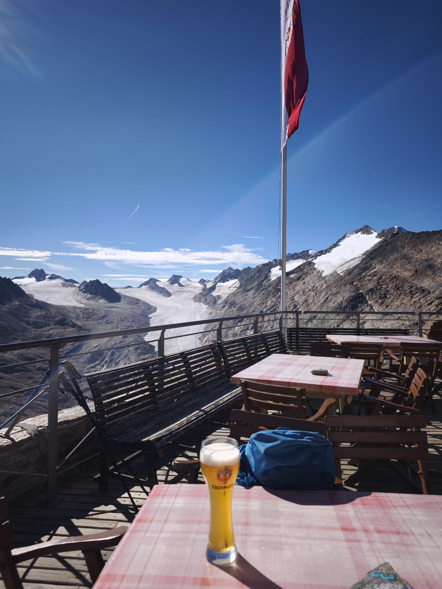
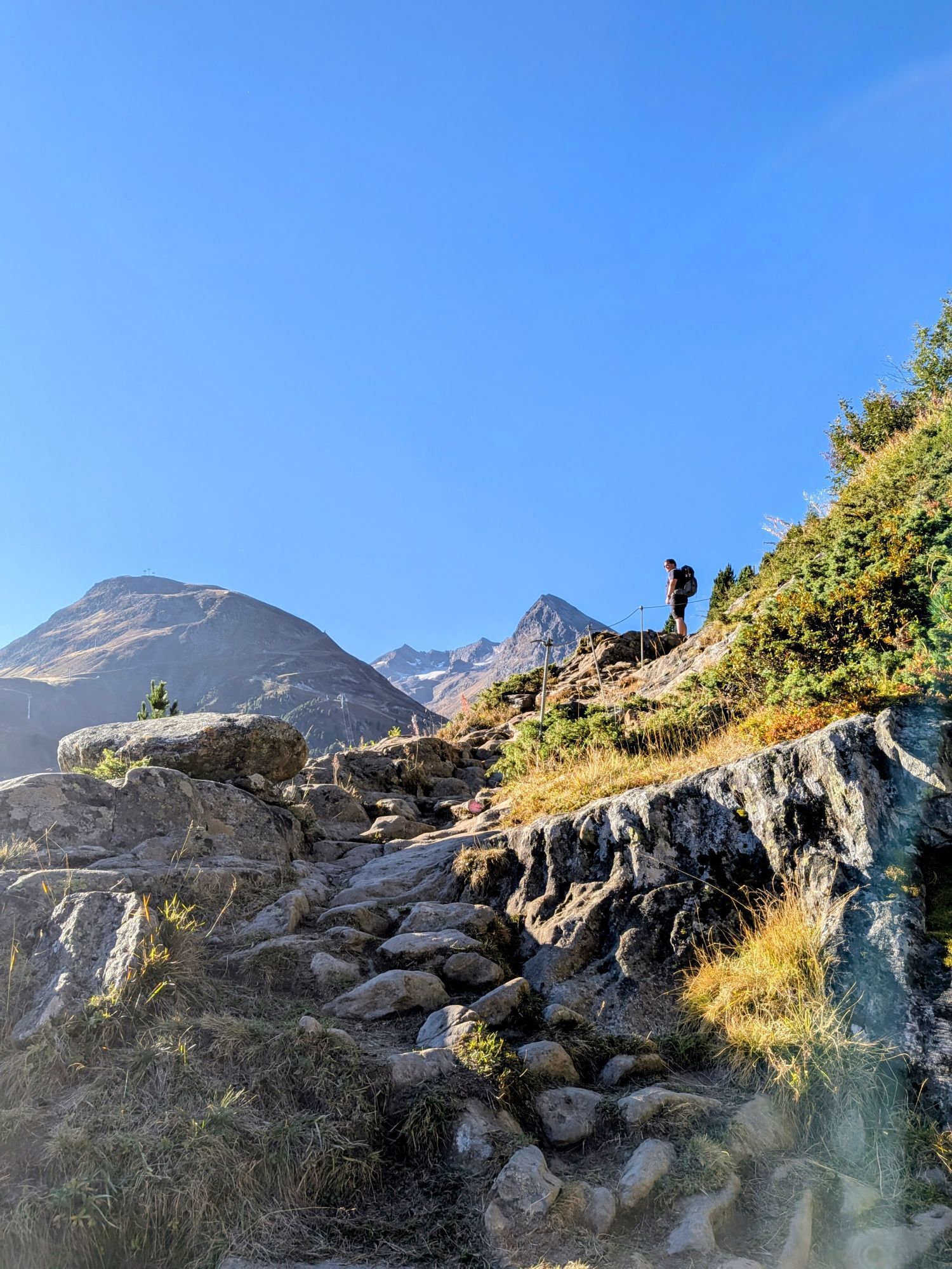
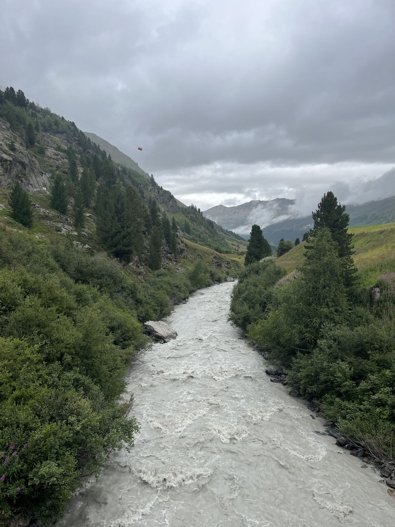
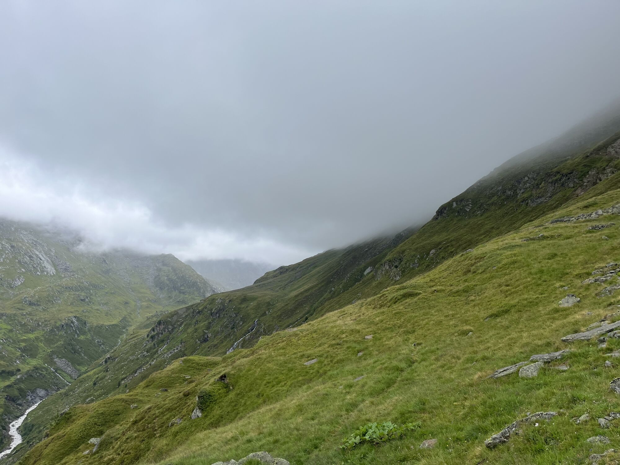
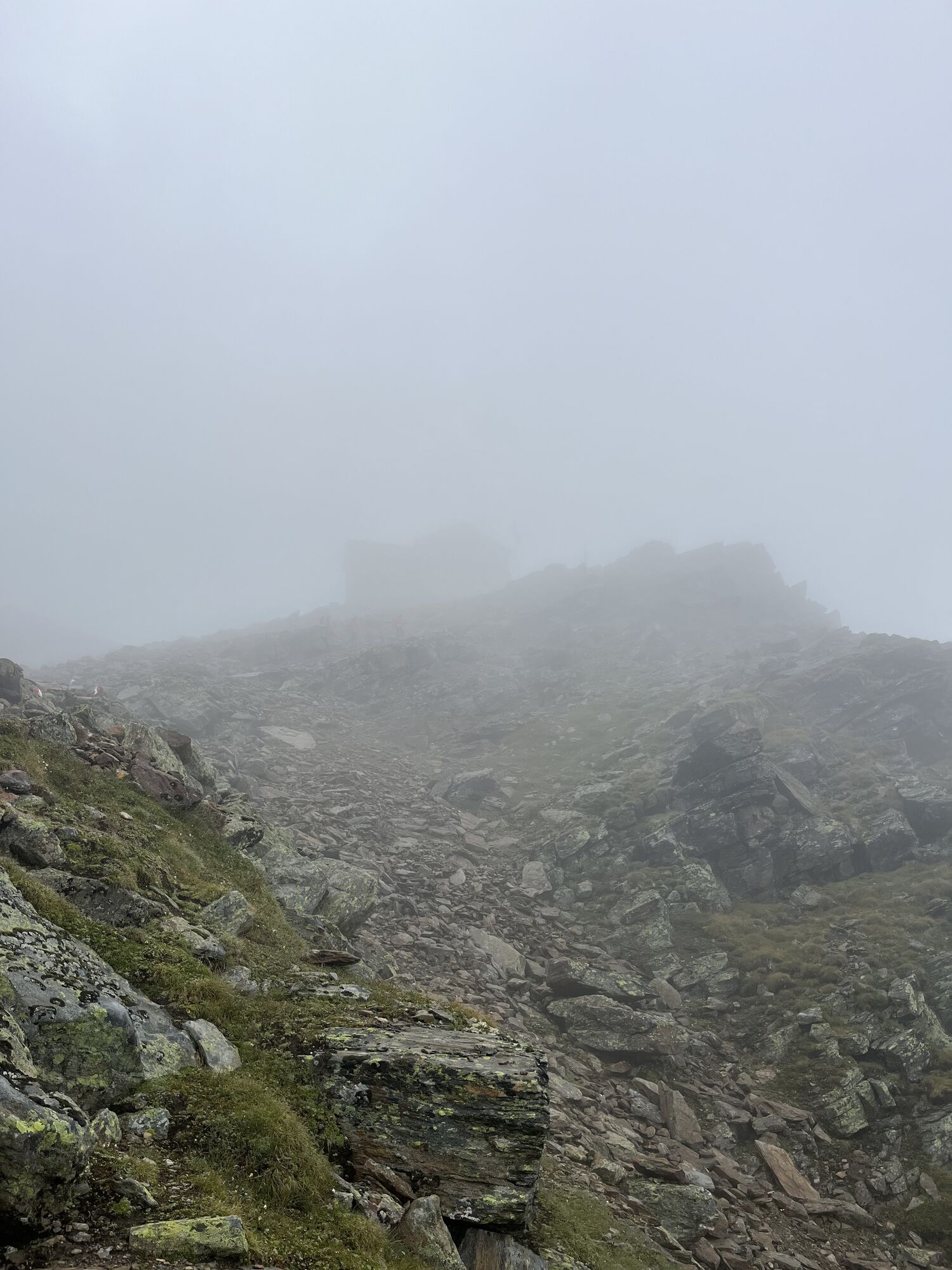
Below the Ramolhaus, you reach the Piccard bridge. From there, hike right upwards over a trail in steep terrain to the Ramolhaus. Afterwards, continue hiking over the Ramol glacier and a steep section to the Ramoljoch.
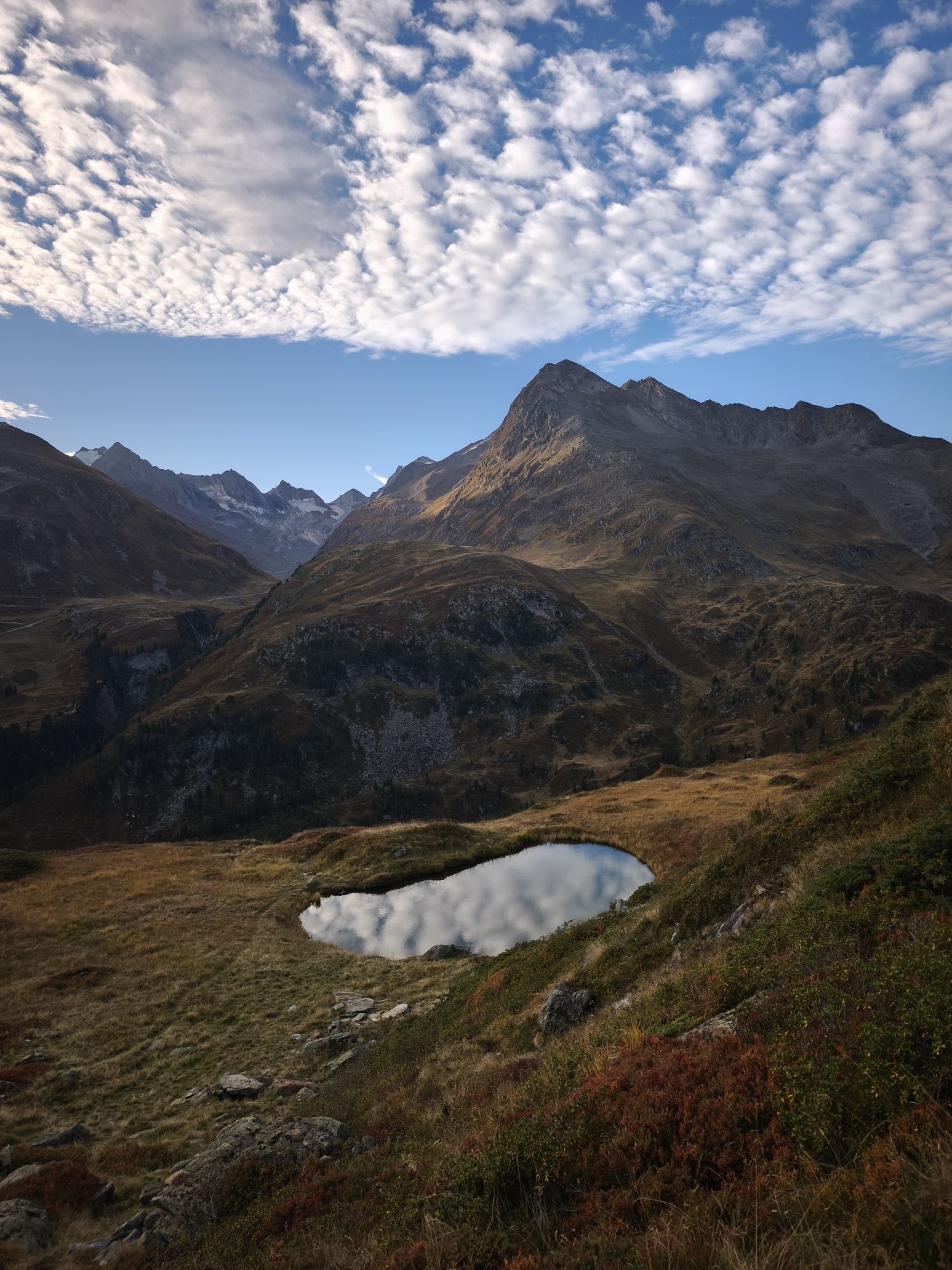
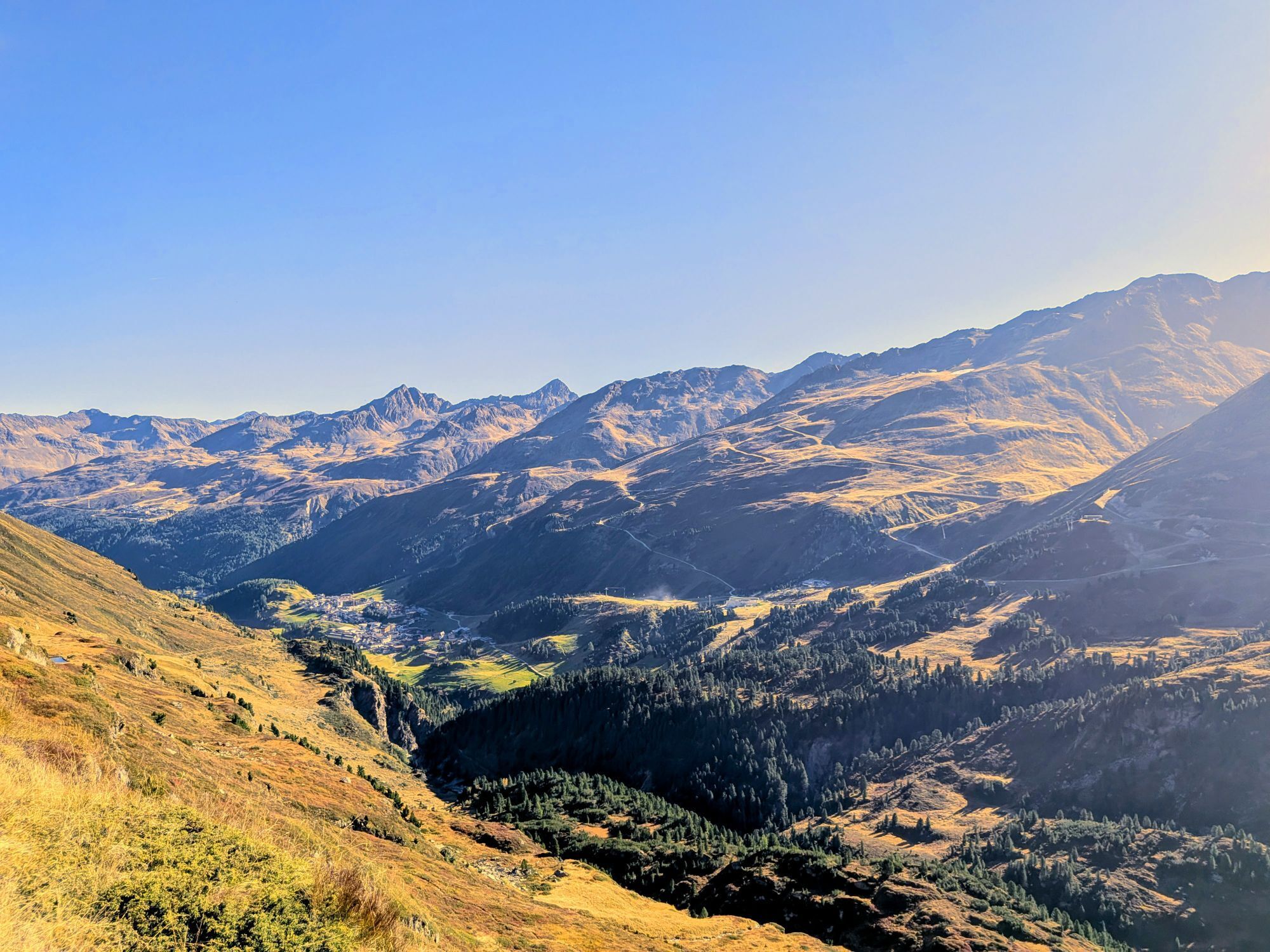
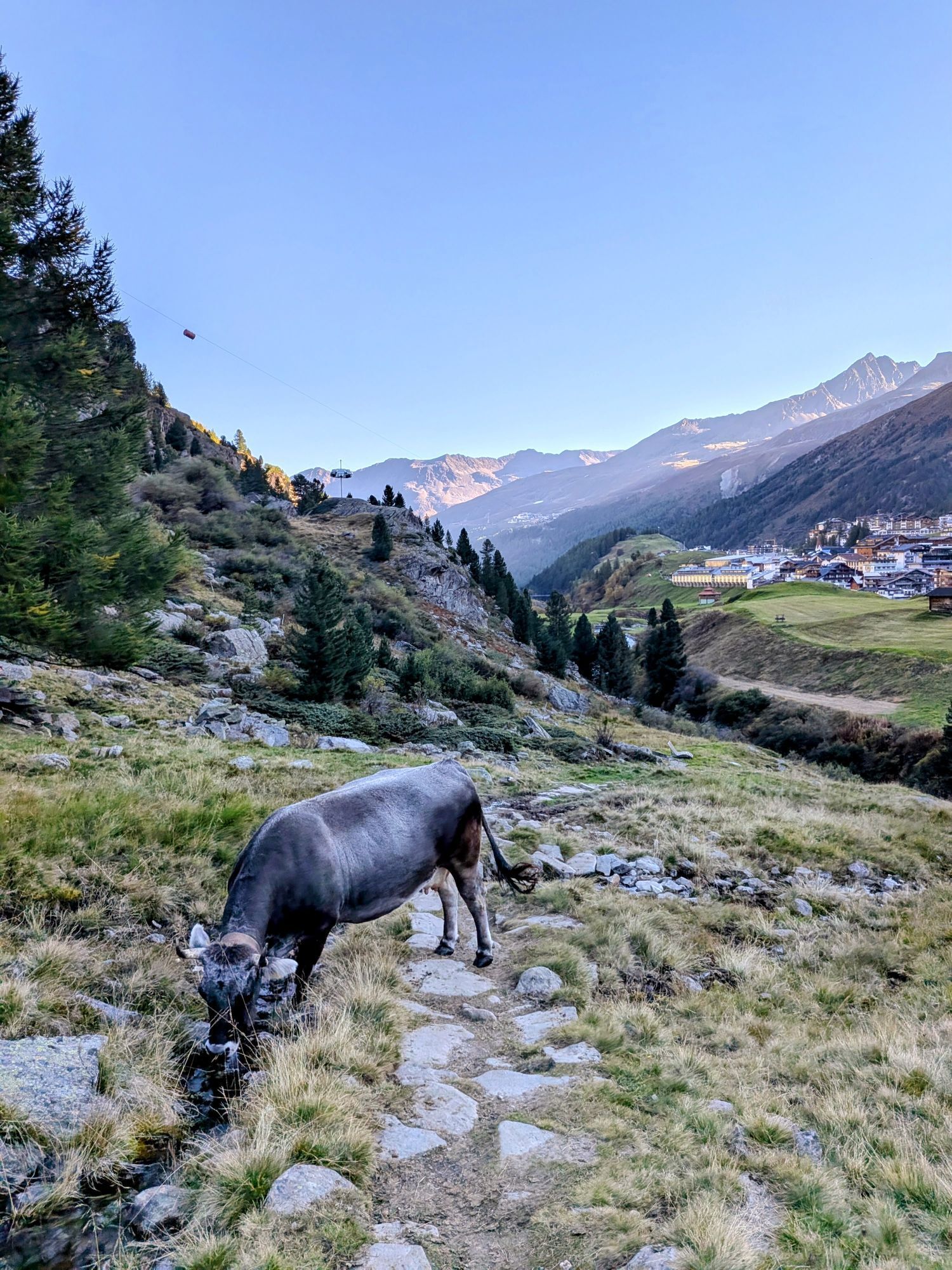
Here, descend in switchbacks past the Spiegelferner glacier to the unstaffed Ramolalm. From there, follow the signposted hiking trail down to the mountaineering village Vent.
Appropriate equipment such as breathable and weather-appropriate outdoor clothing is required for all hikes and routes. Carrying a first aid kit, a mobile phone, and possibly a hiking map, as well as sufficient provisions for hikes without rest stops, is necessary.
Suitable for those without a fear of heights, sure-footed and experienced alpine climbers; very good physical condition, alpine experience, and mountaineering equipment (see under equipment), sometimes alpine safety gear recommended, good weather conditions advised Please check the current weather report
Driving into the ÖTZTAL. Located in Tyrol, the ÖTZTAL branches southwards as the longest side valley of the Eastern Alps. Traveling by car leads visitors through the Inn Valley to the valley entrance and further along the Ötztal. Besides the toll highway, country roads can also be used. Your drive can be quickly and conveniently planned with the route planner: To the route planner: https://www.google.at/maps
Travel comfortably and safely by train to the Ötztal train station. The final stop or exit point is ÖTZTAL station. Afterwards, you can conveniently and quickly travel by public transport or local taxis through the entire valley to your desired destination.
The current bus timetable is available at: http://fahrplan.vvt.at
- Parking garage village center Obergurgl (down to the right in front of the church) | paid
- Parking garage village entrance – valley station Festkoglbahn | paid | no overnight parking
- Parking lot Hochgurglbahn valley station, free | no overnight parking
Paid parking in the mountaineering village of Vent:
At the entrance to the village (summer only)
At the valley station of the Wildspitze double chairlift (DSB Wildspitze)
At the Mountaineers’ Chapel
Further information can be found here:
https://www.oetztal.com/en/regions-villages/parking
T5
Did you know that…
… the Ötztal Alps are the highest elevation in the Eastern Alps, with over 250 peaks above 3,000 m and countless glaciers!
DAILY TIP
Obergurgl –> Stone pine forest –> Langtalereck hut –> Piccard bridge –> Obergurgl
The Piccard Bridge spans the outliers of the Gurgler Ferner where the balloon made its hard landing. On the way there, a stone pine forest over 300 years old invites you into its little realm. This old age of the stone pines is a pronounced rarity, which is why this forest has been designated a natural monument since 1963.
More info about hiking in the Ötztal: www.oetztal.com/wandern


Popularne wycieczki w okolicy
- 4,3
Vorderkaser - Eishof / Texelgruppe
światłoWędrówka 4,83 km - 4,7
Vent - Kreuzspitze
Wędrówka 20,6 km - 4,4
Hochtour Wildspitze, 3.768m
średniWycieczka wysokogórska 9,75 km - 4,6
Vent - Wilder Mann - Breslauer Hütte - Stableinalm
średniWędrówka 7,25 km - 4,9
Pfossental - vom Vorderkaser auf die Stettinerhütte
średniWędrówka 23,7 km - 3,1
Tiefenbachglacier - Mountaineering Village Vent
średniWędrówka 10,8 km - 3,7
Breslauer Hut
średniWędrówka 4,75 km - 4,4
Hochwilde - Pfelders
średniWycieczka wysokogórska 22,1 km - 4,8
Spronser Seen lakes: At the heart of the Texelgruppe Nature Park
ciężkiWędrówka 15,1 km - 5,0
Obergurgl - Ramolhaus
Wędrówka 7 km
Wędrówki i tropienie


Nie przegap ofert i inspiracji na następne wakacje
Twój adres e-mail została dodana do listy mailingowej.