







Long-distance cycle path – Loisach Cycle Path
Poziom trudności: 1
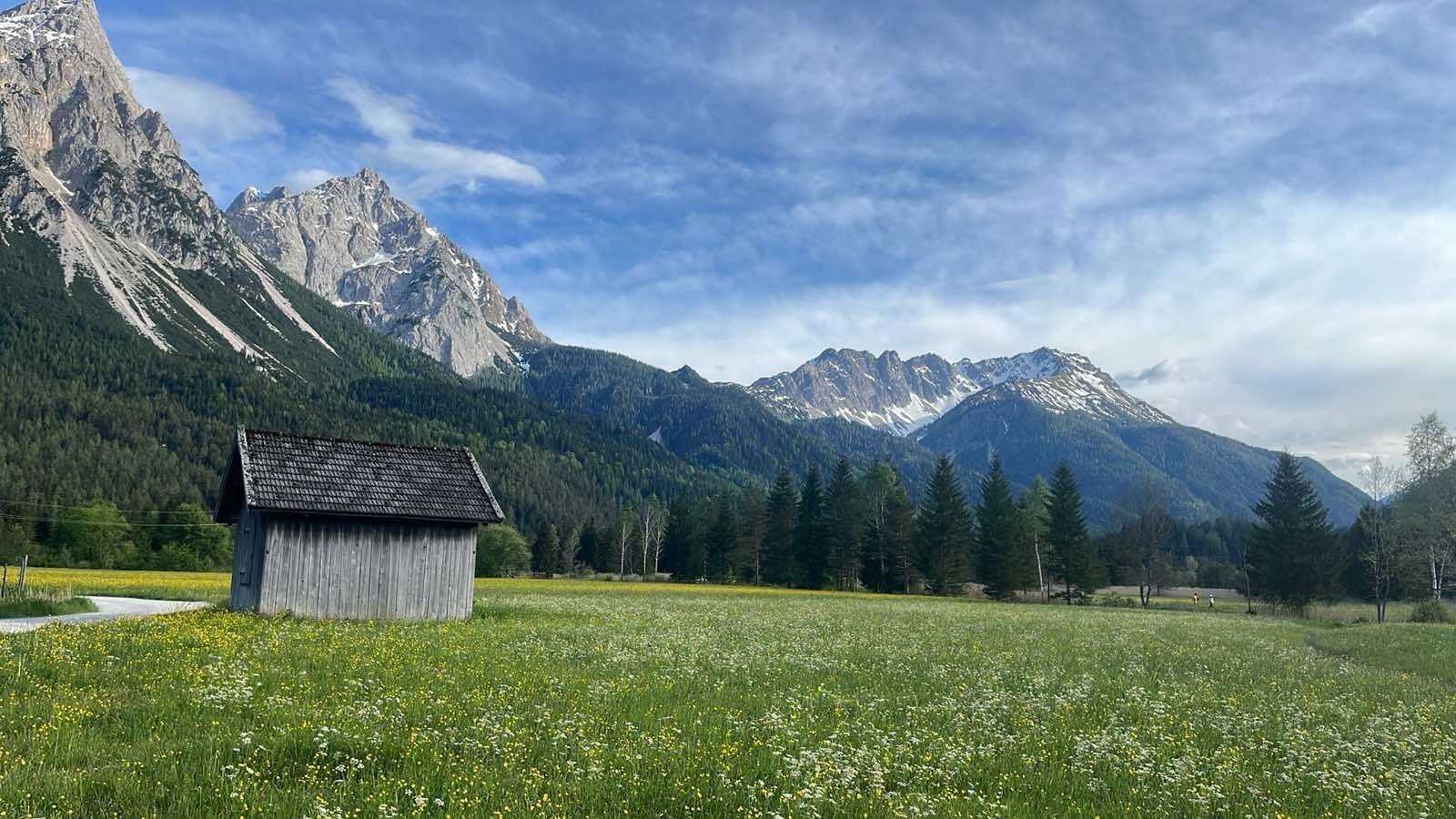
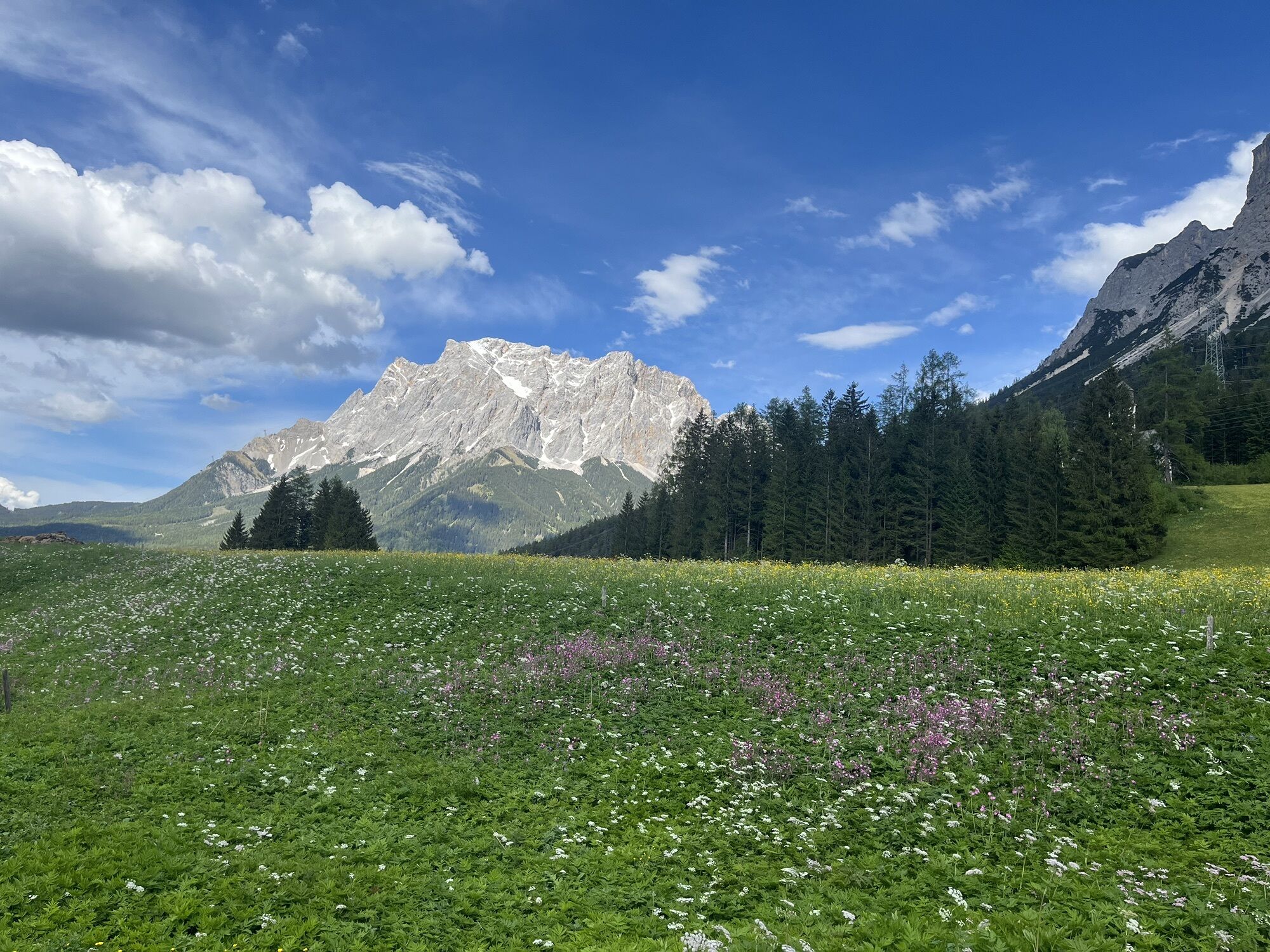
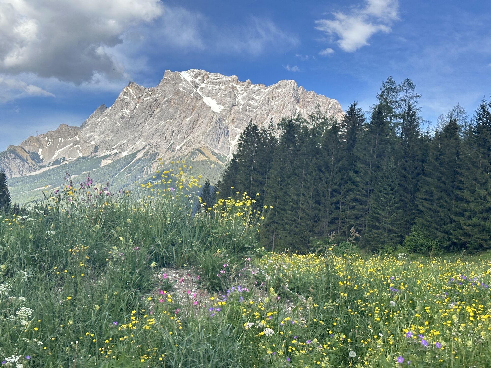
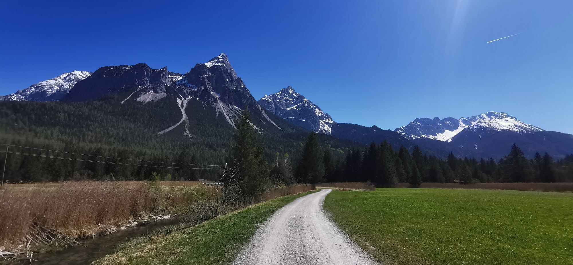

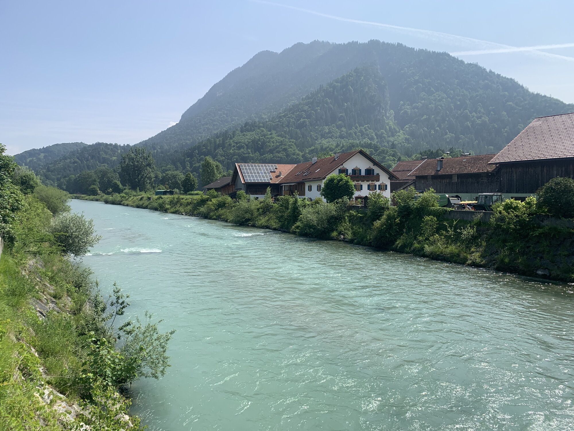
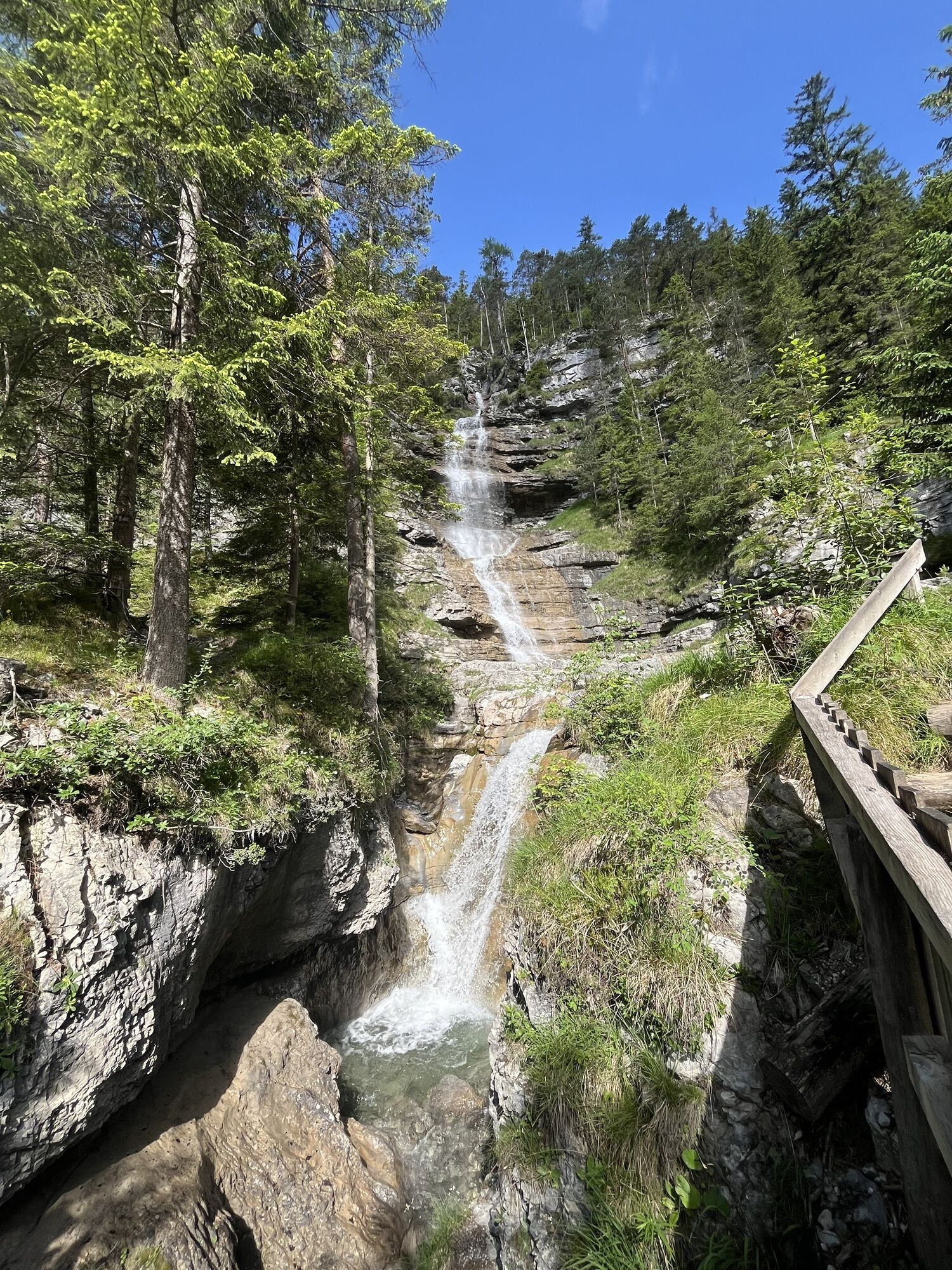
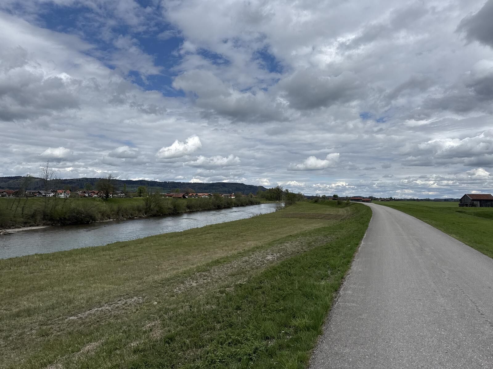
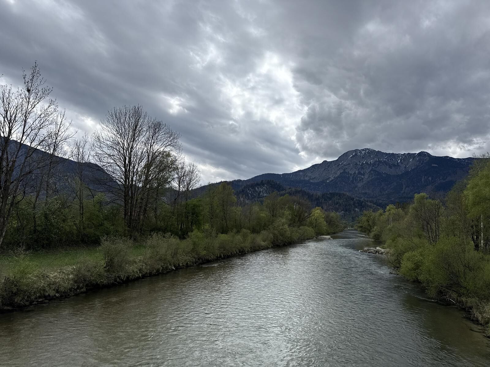
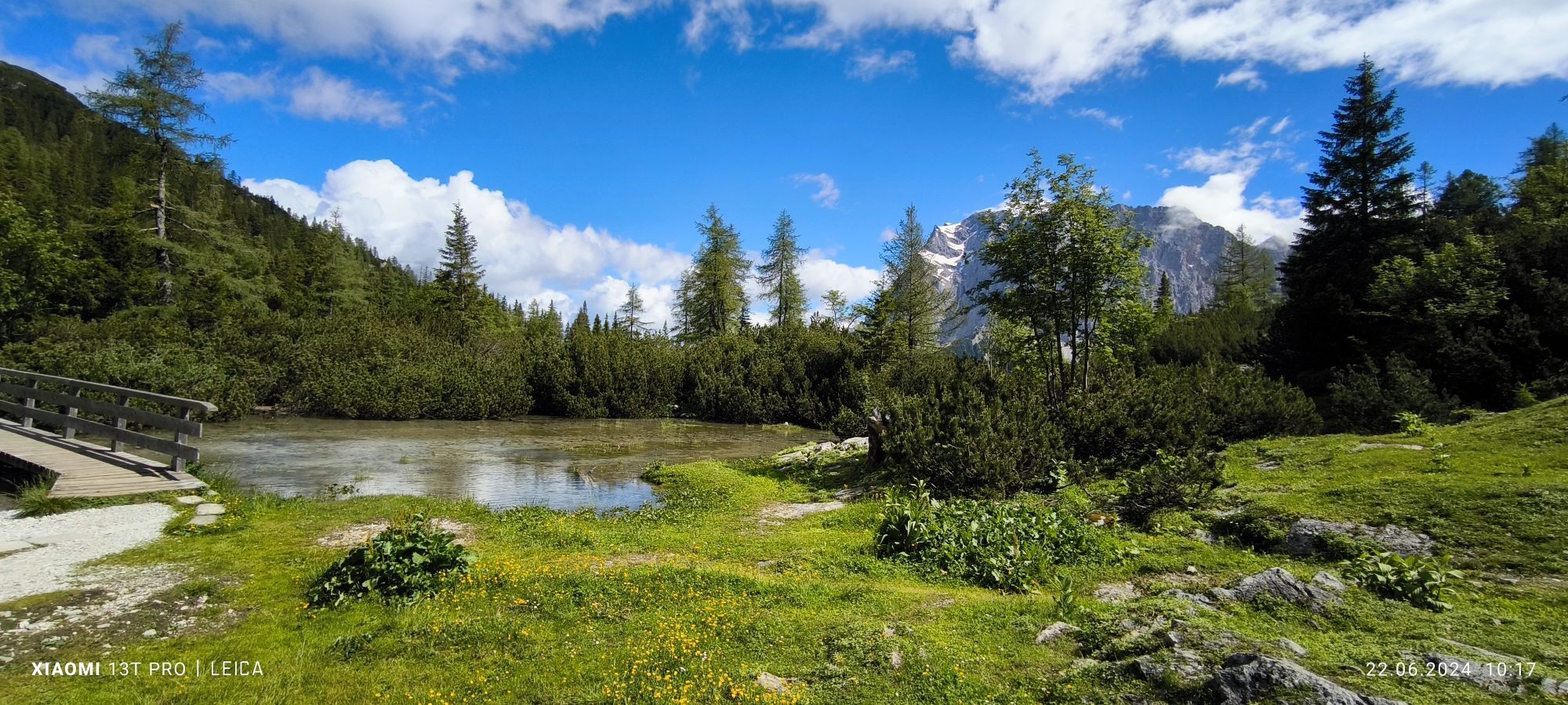
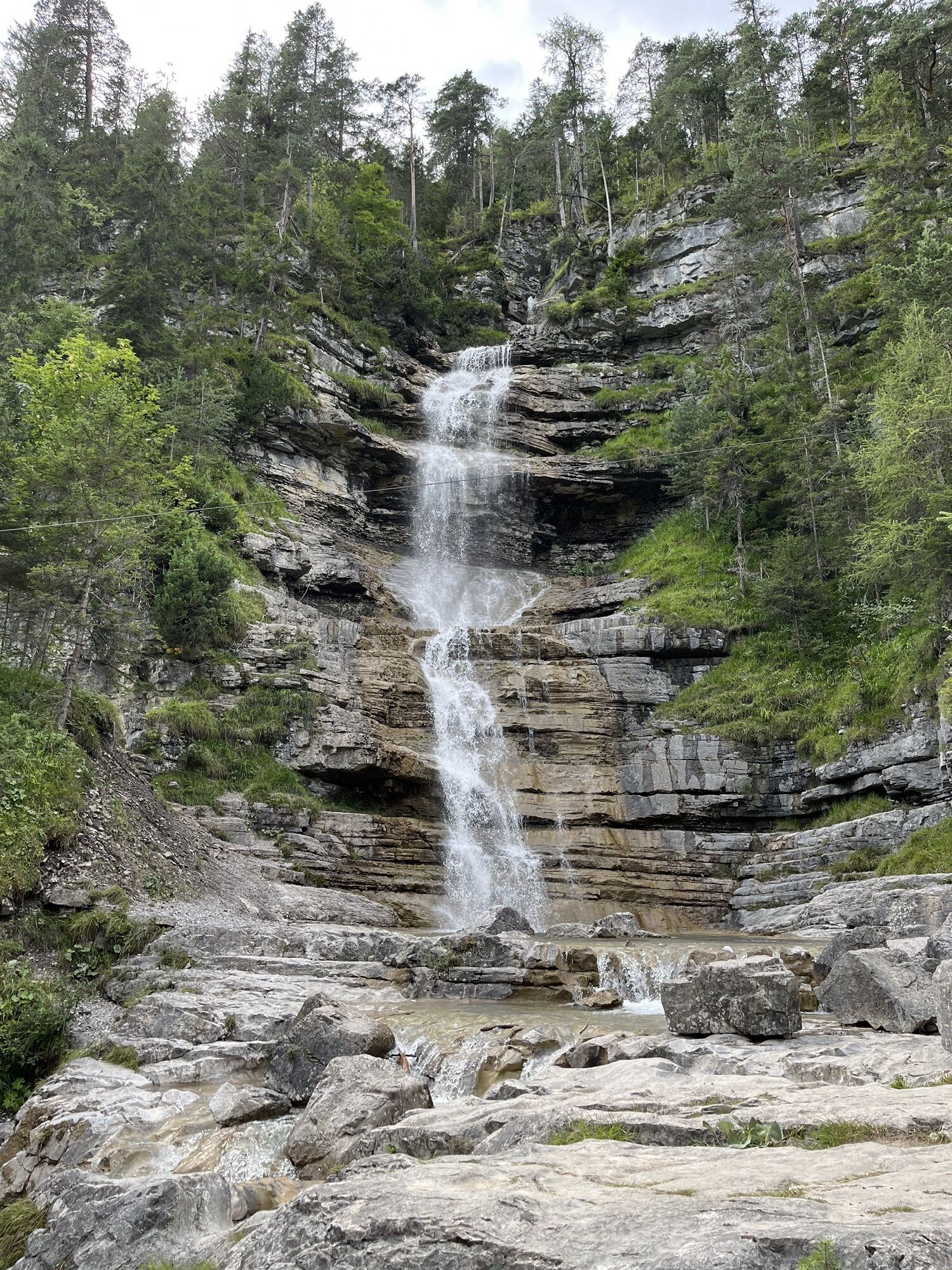
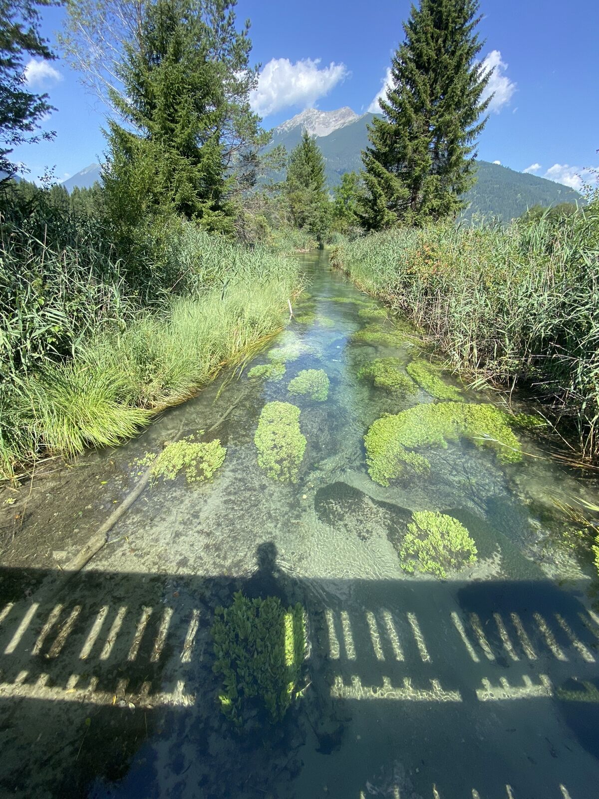

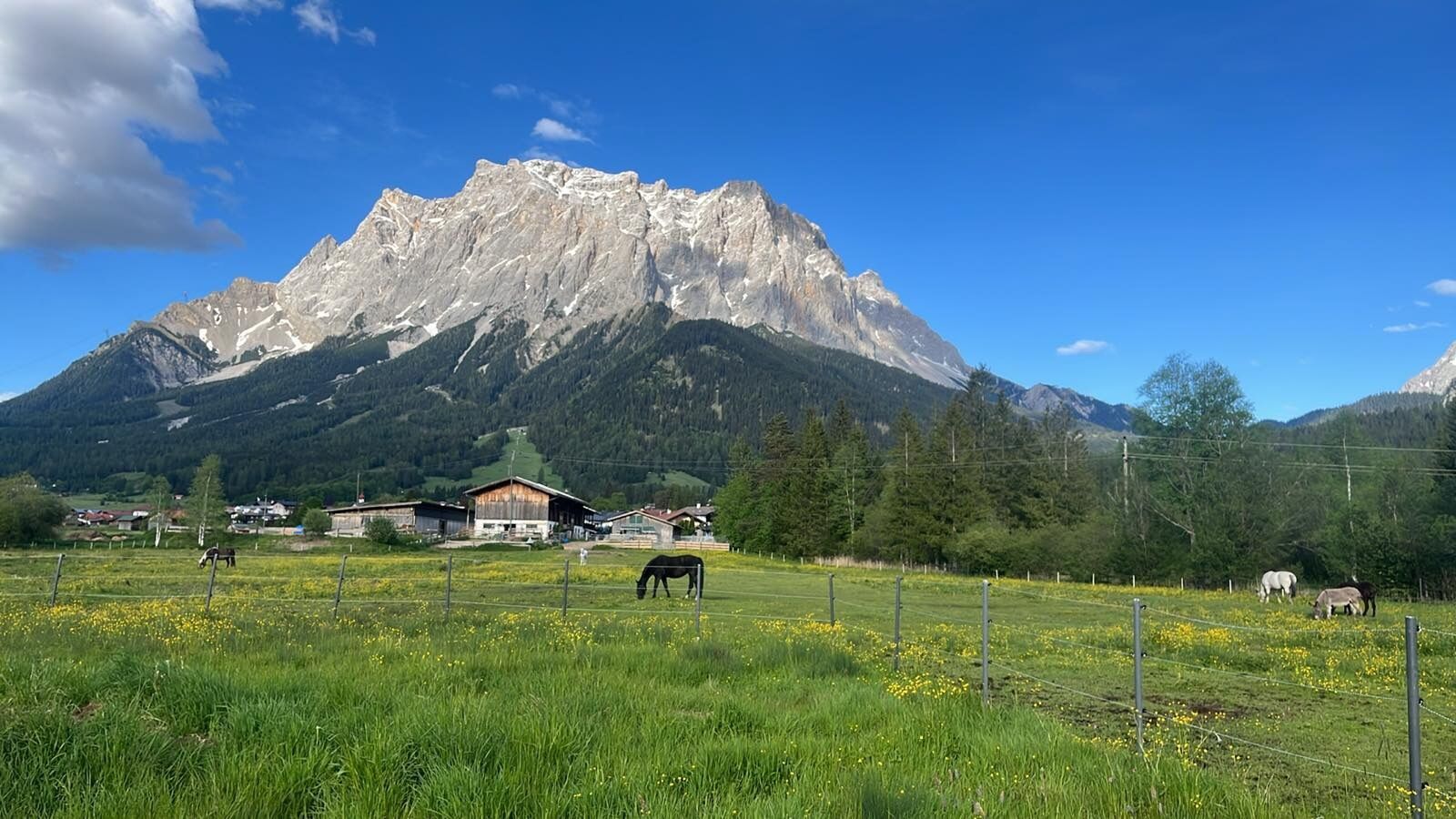
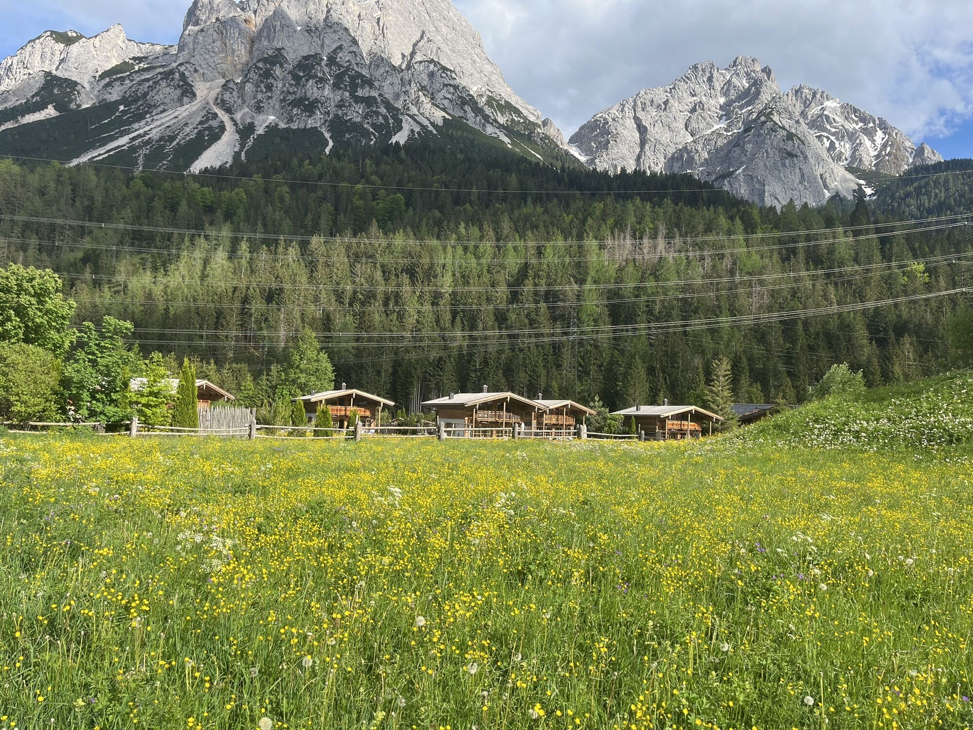
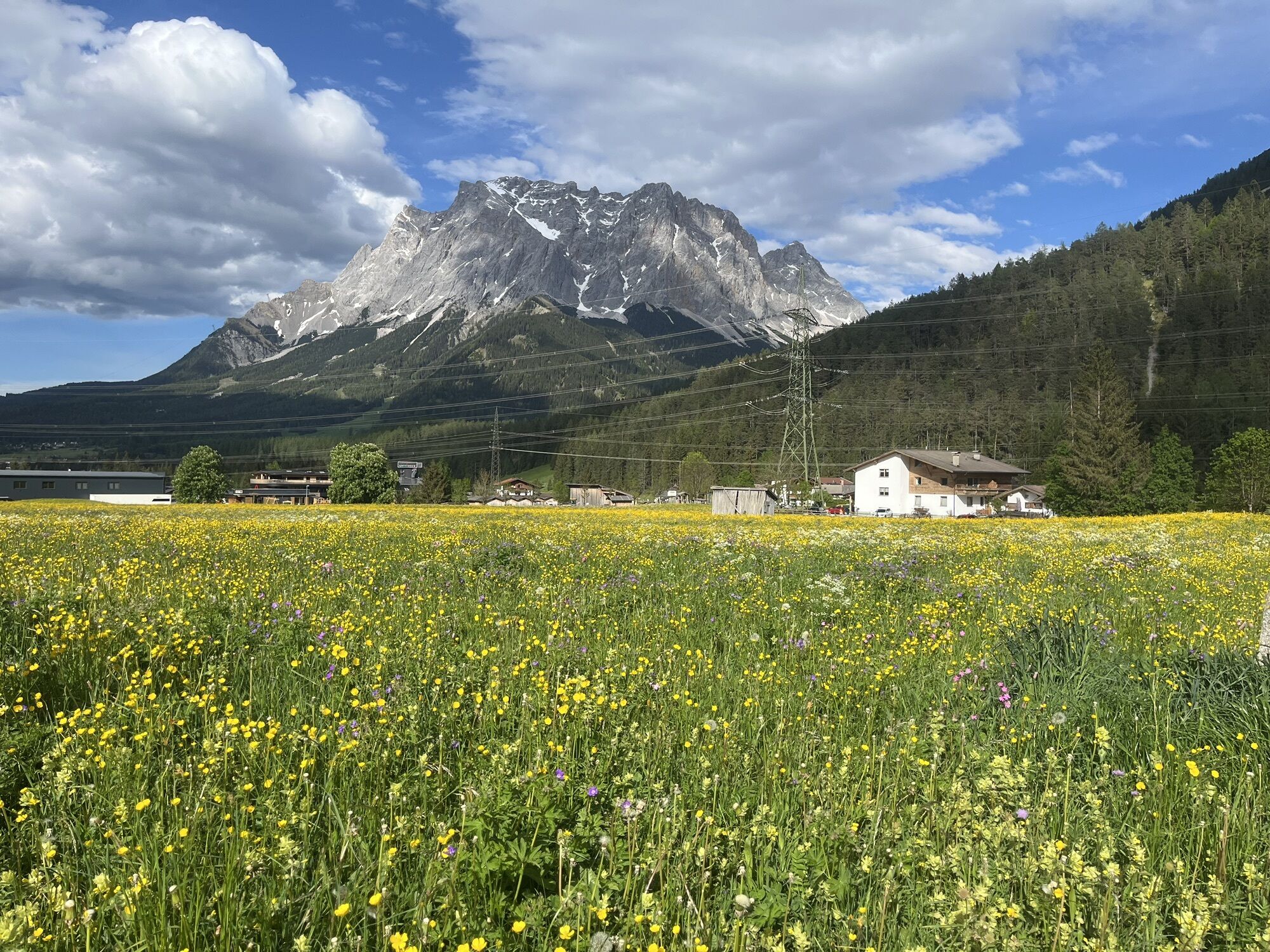
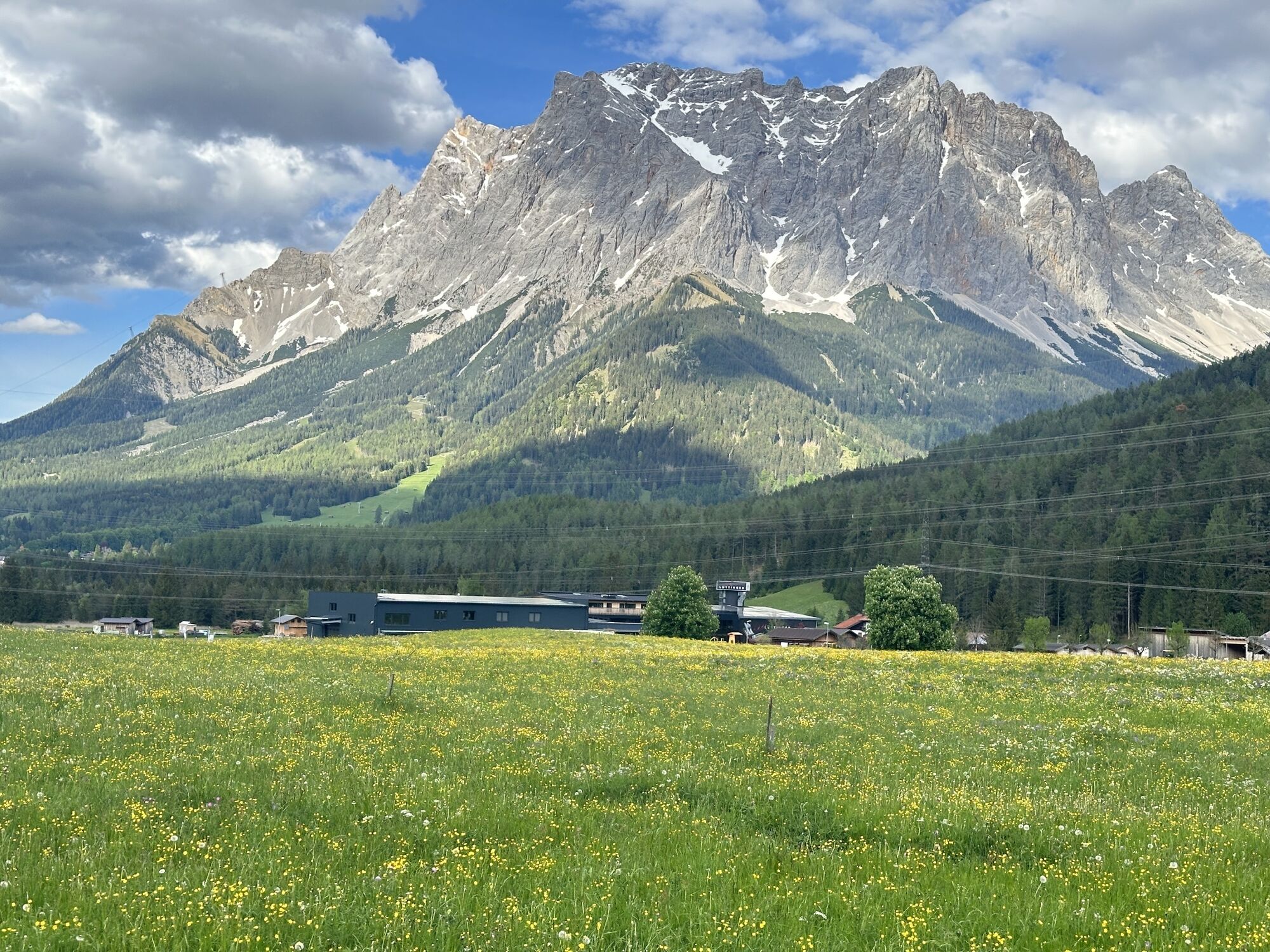
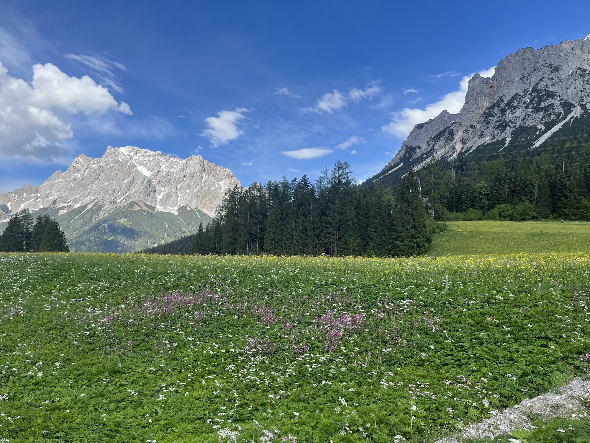
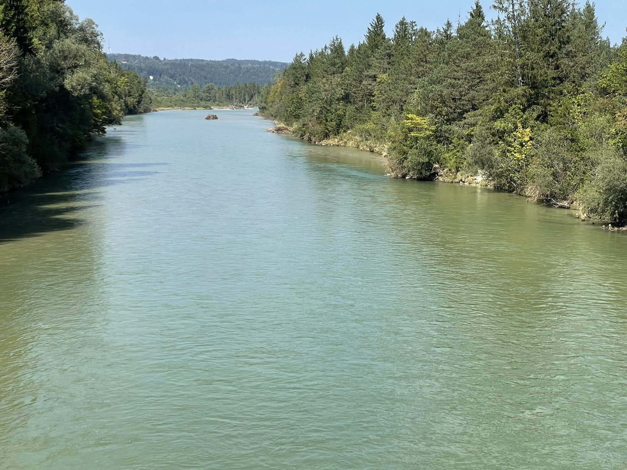
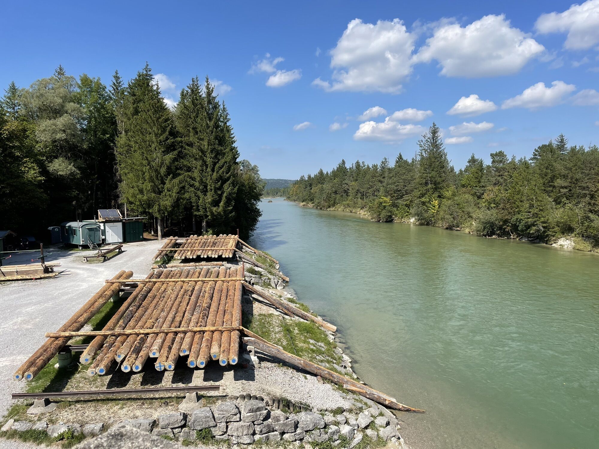
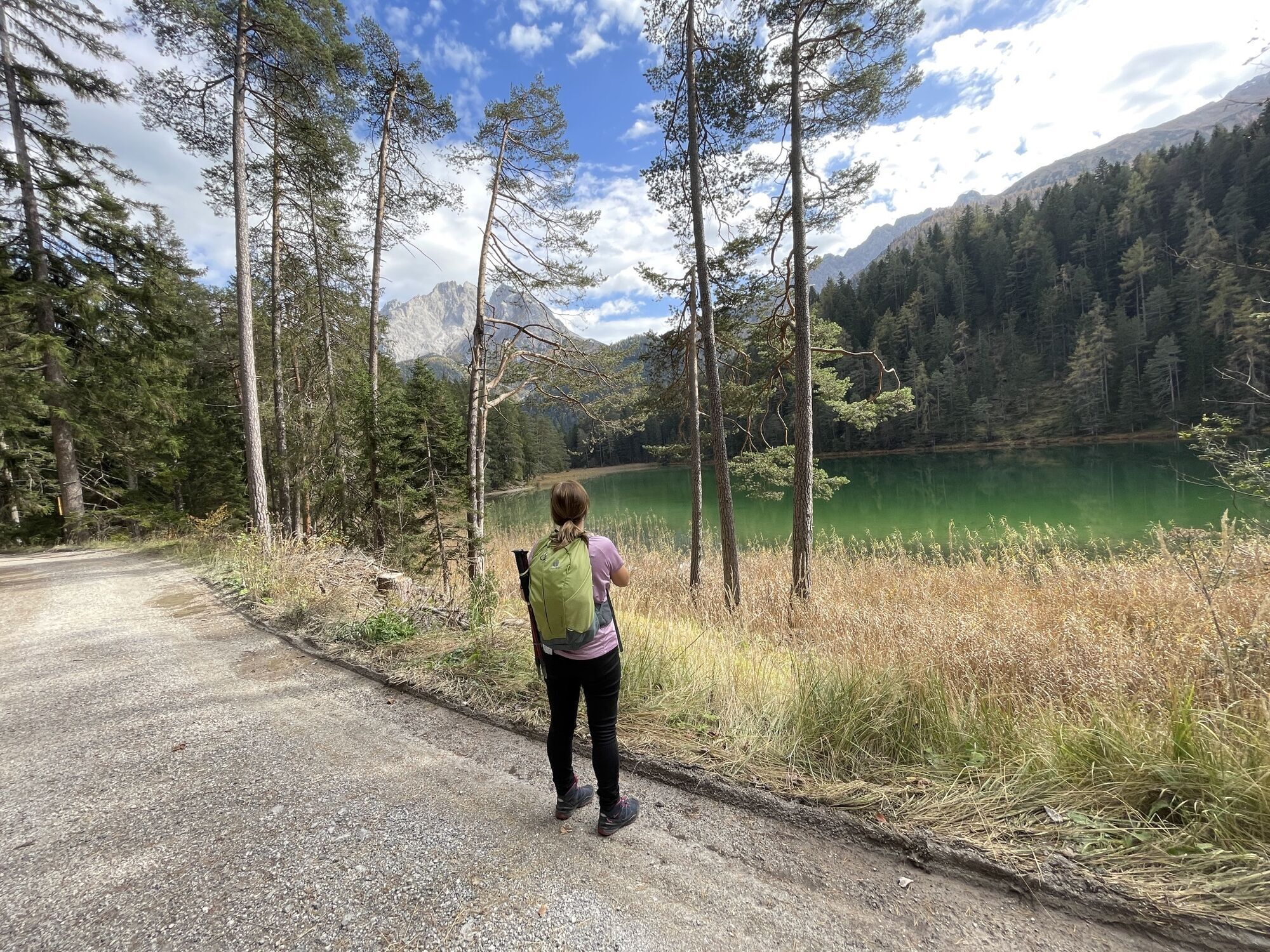
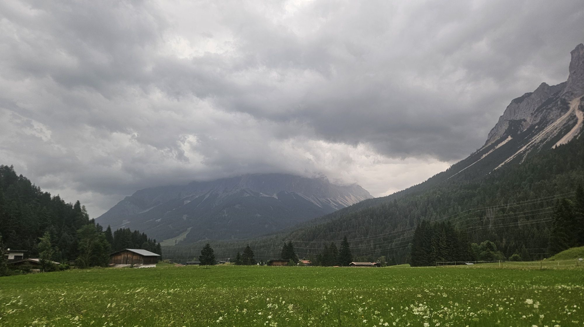
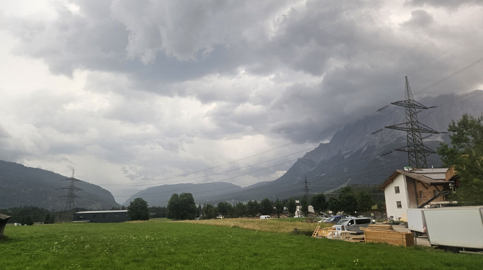
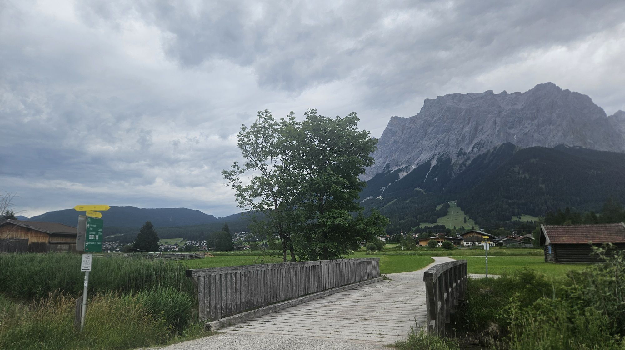
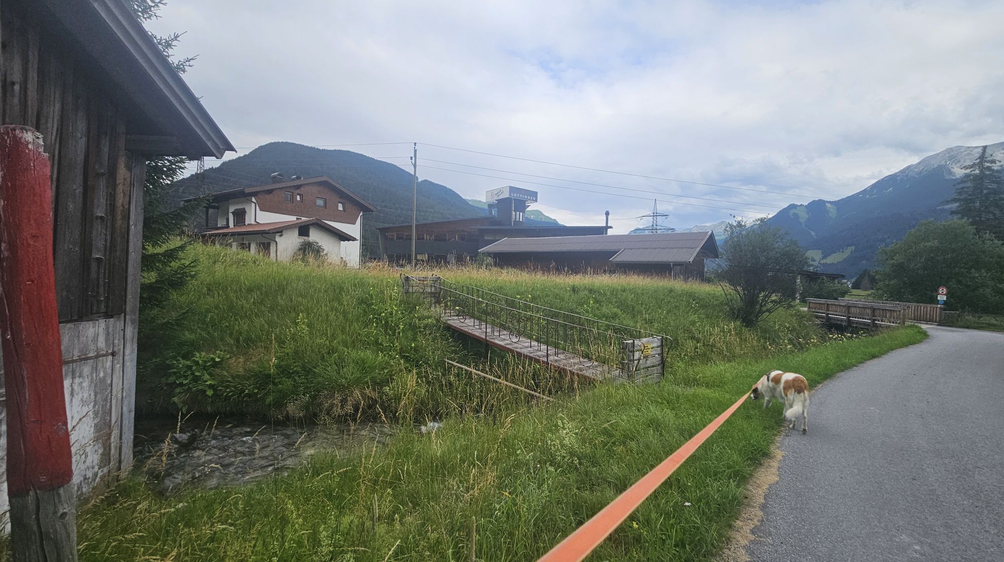
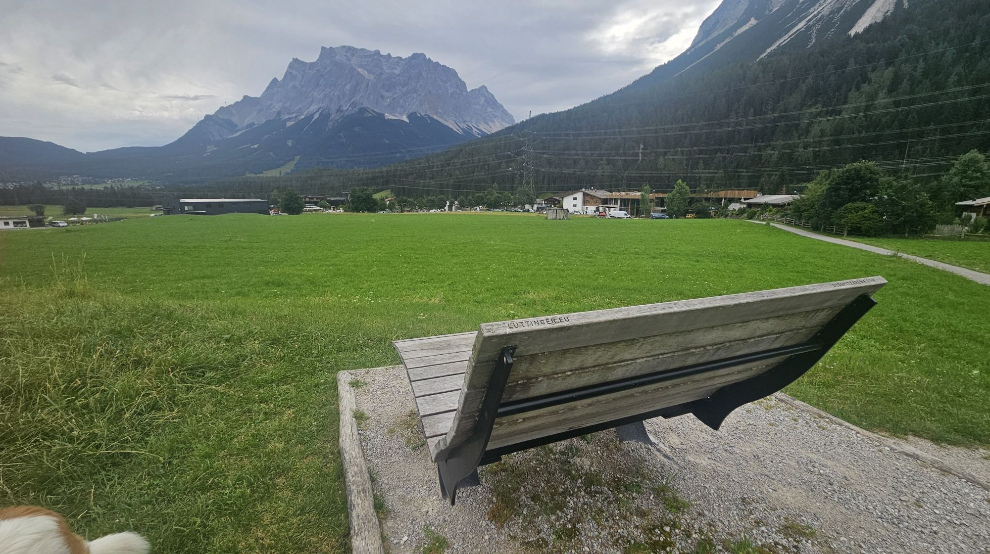
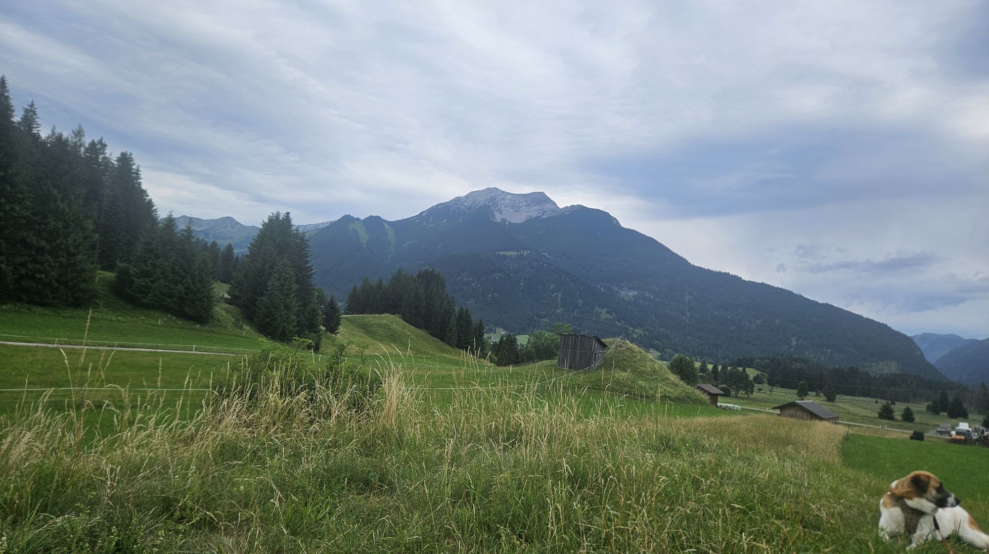
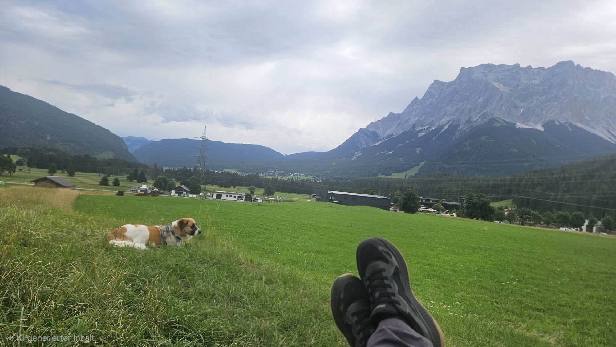
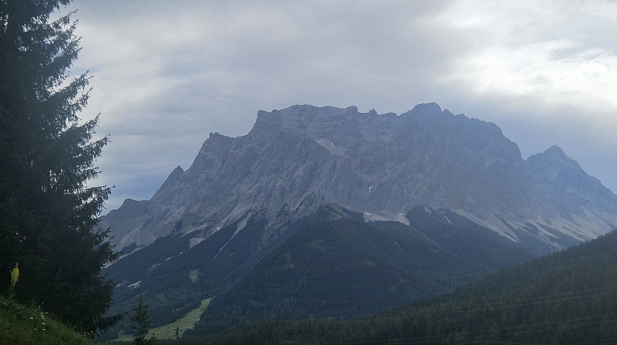
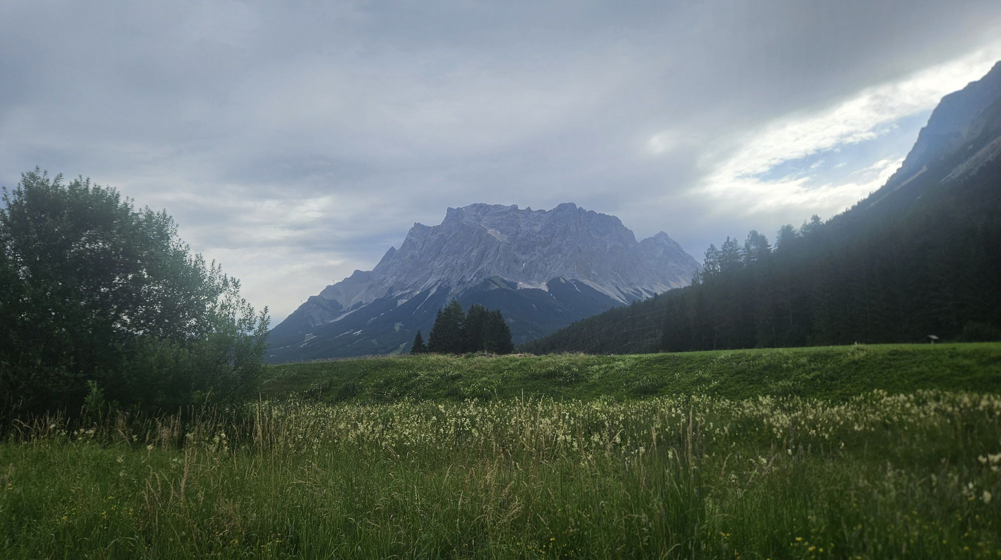
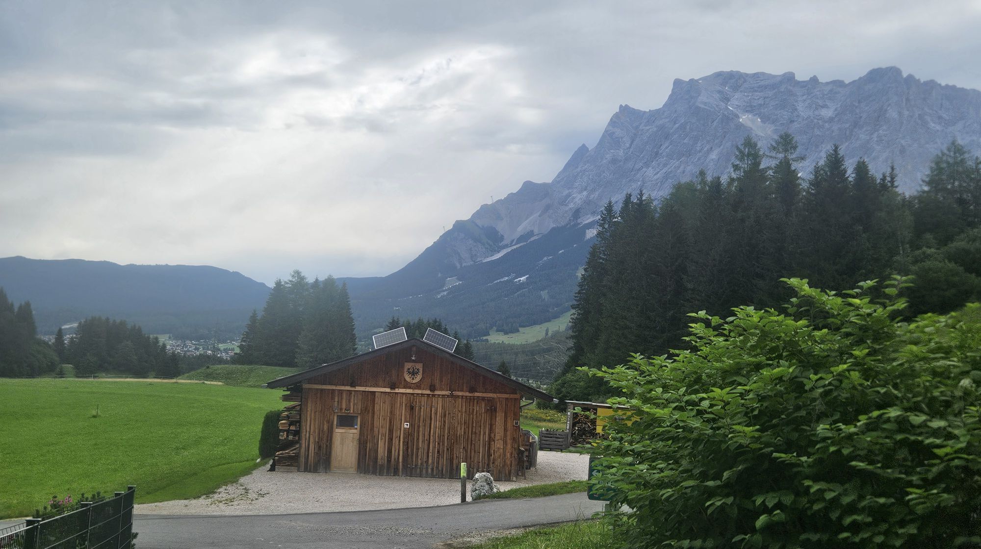
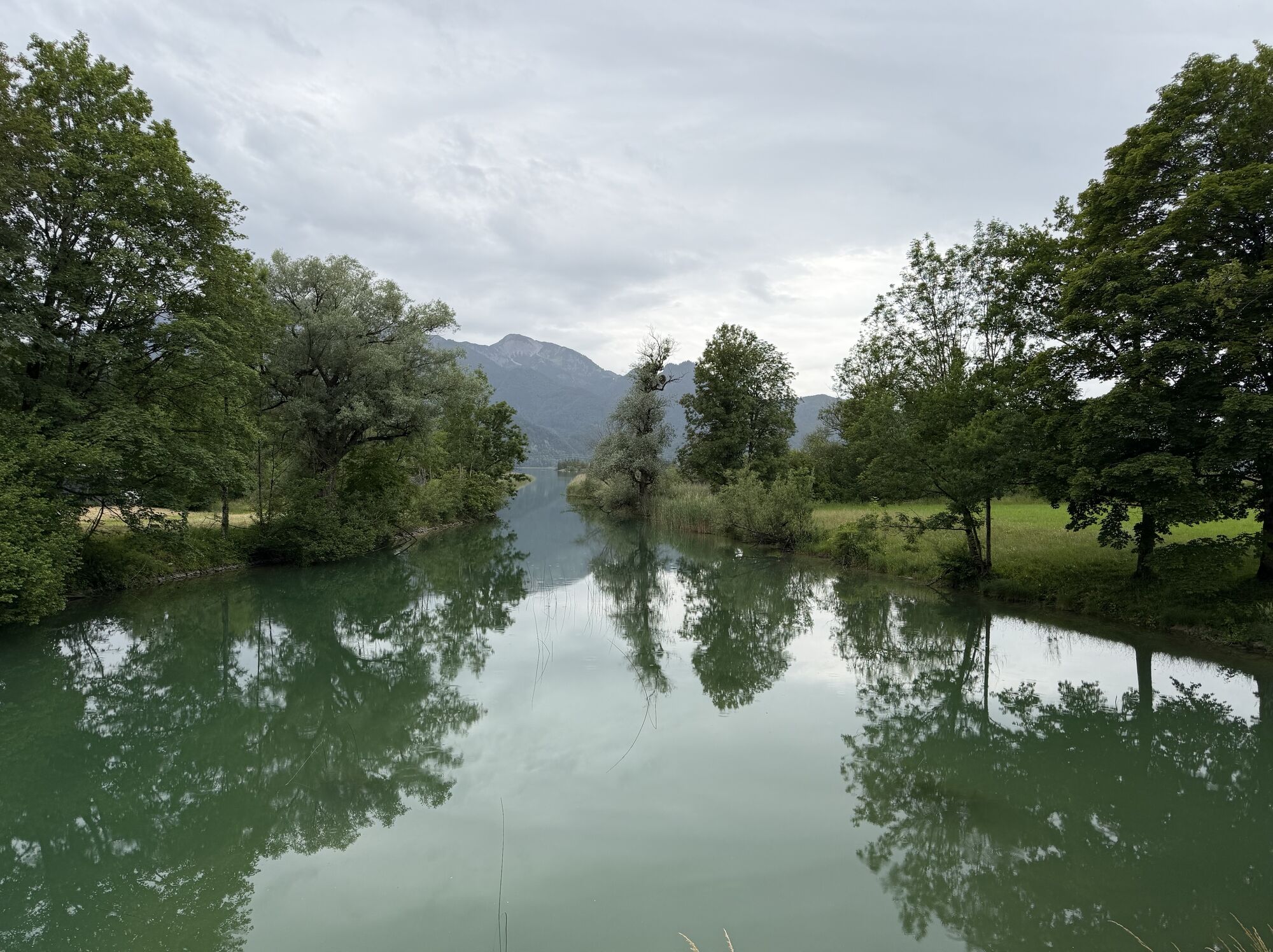
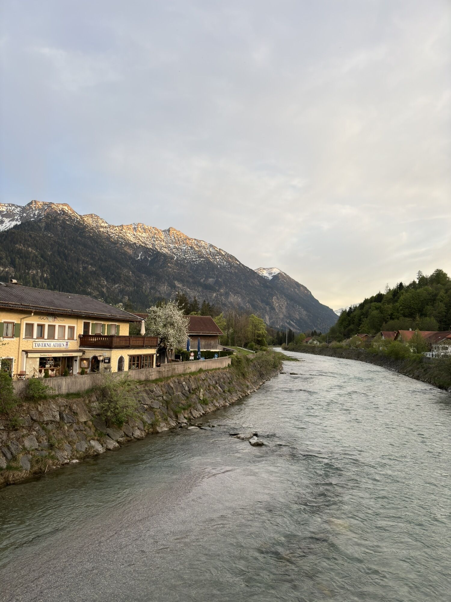
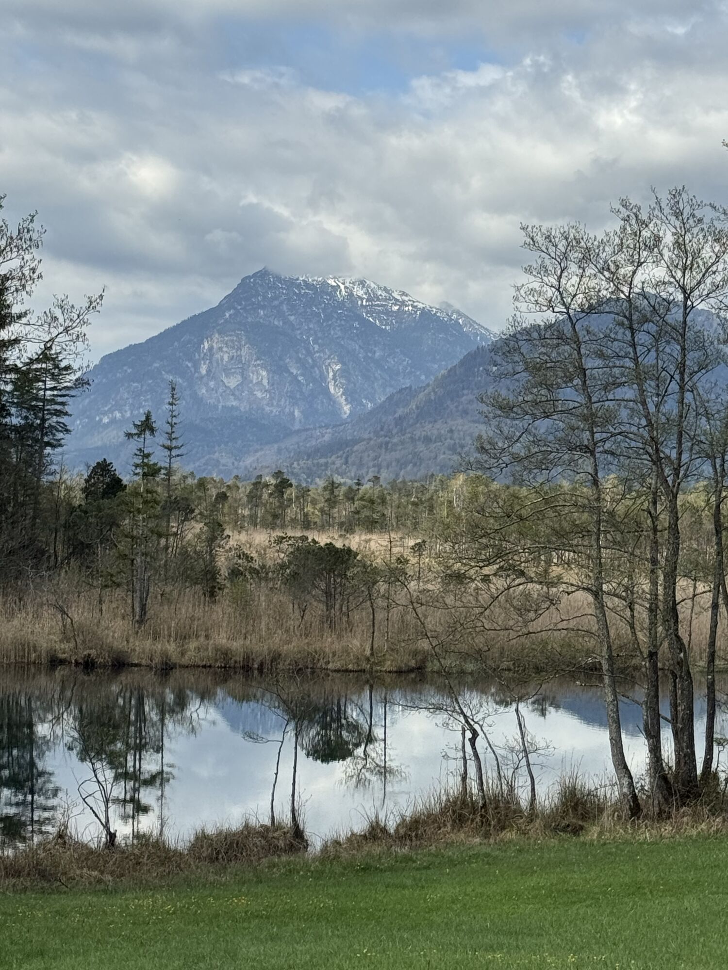
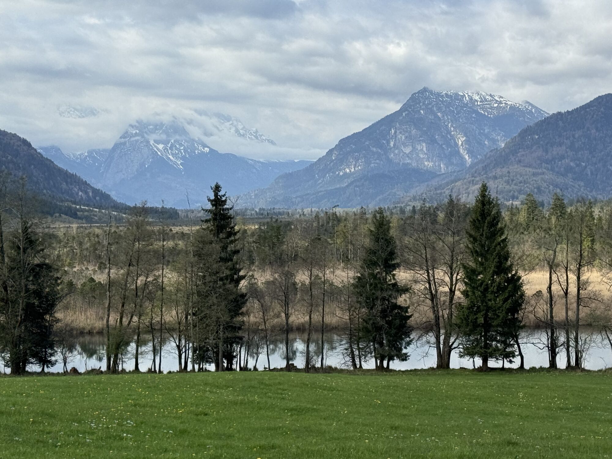
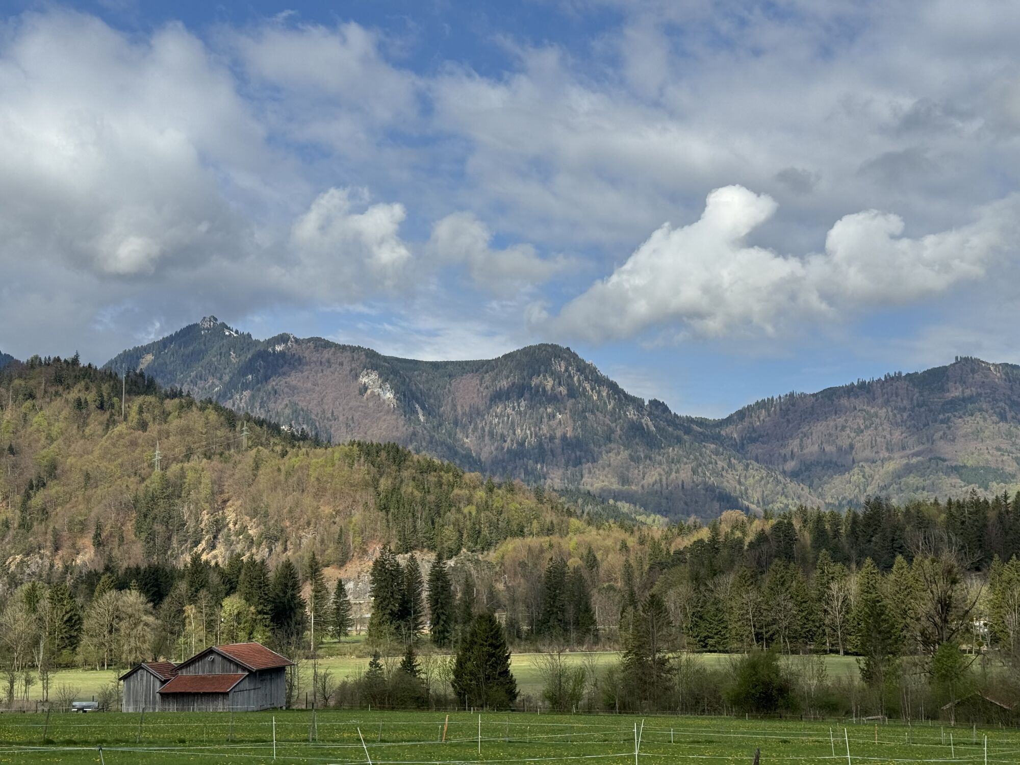
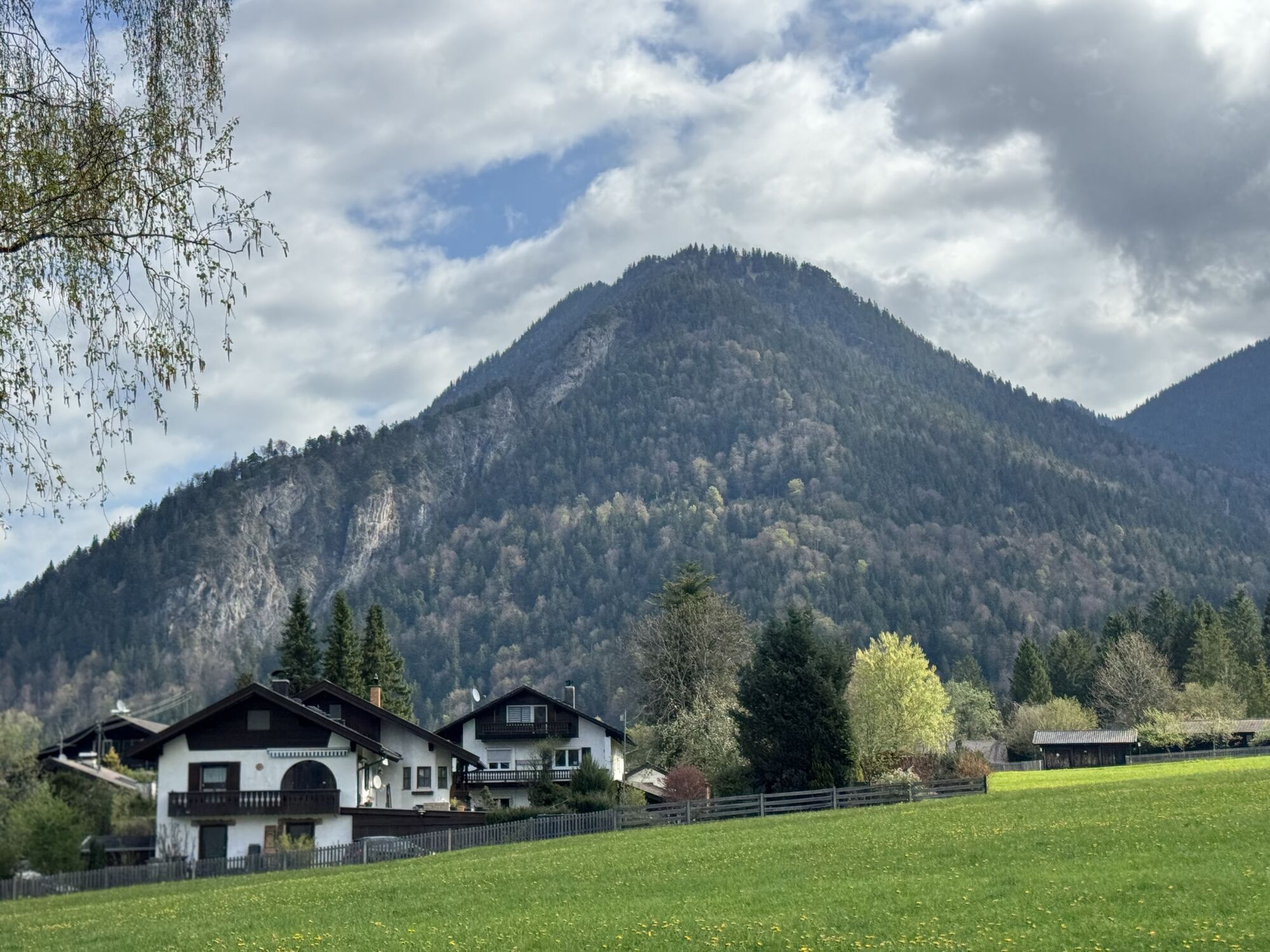
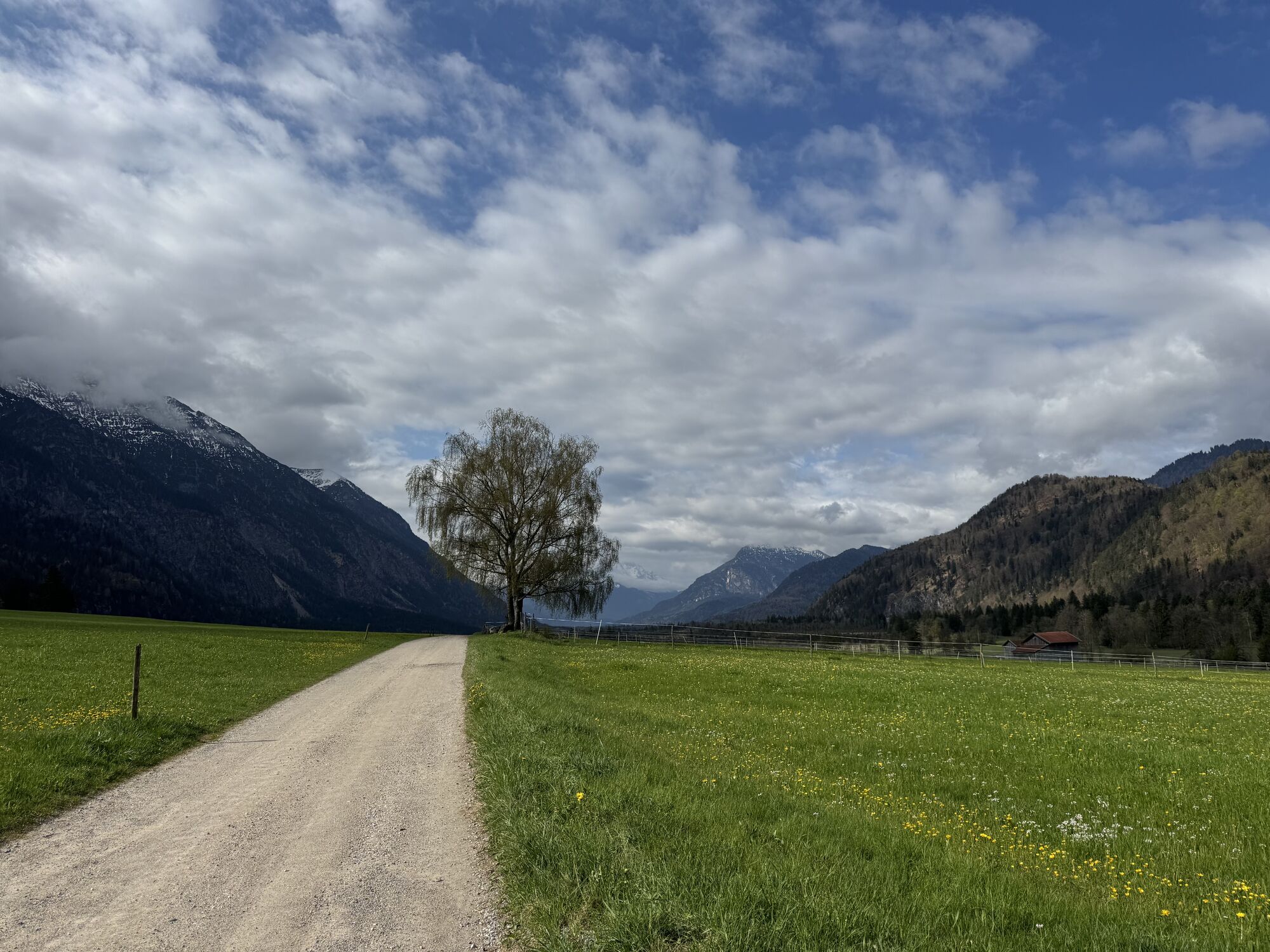
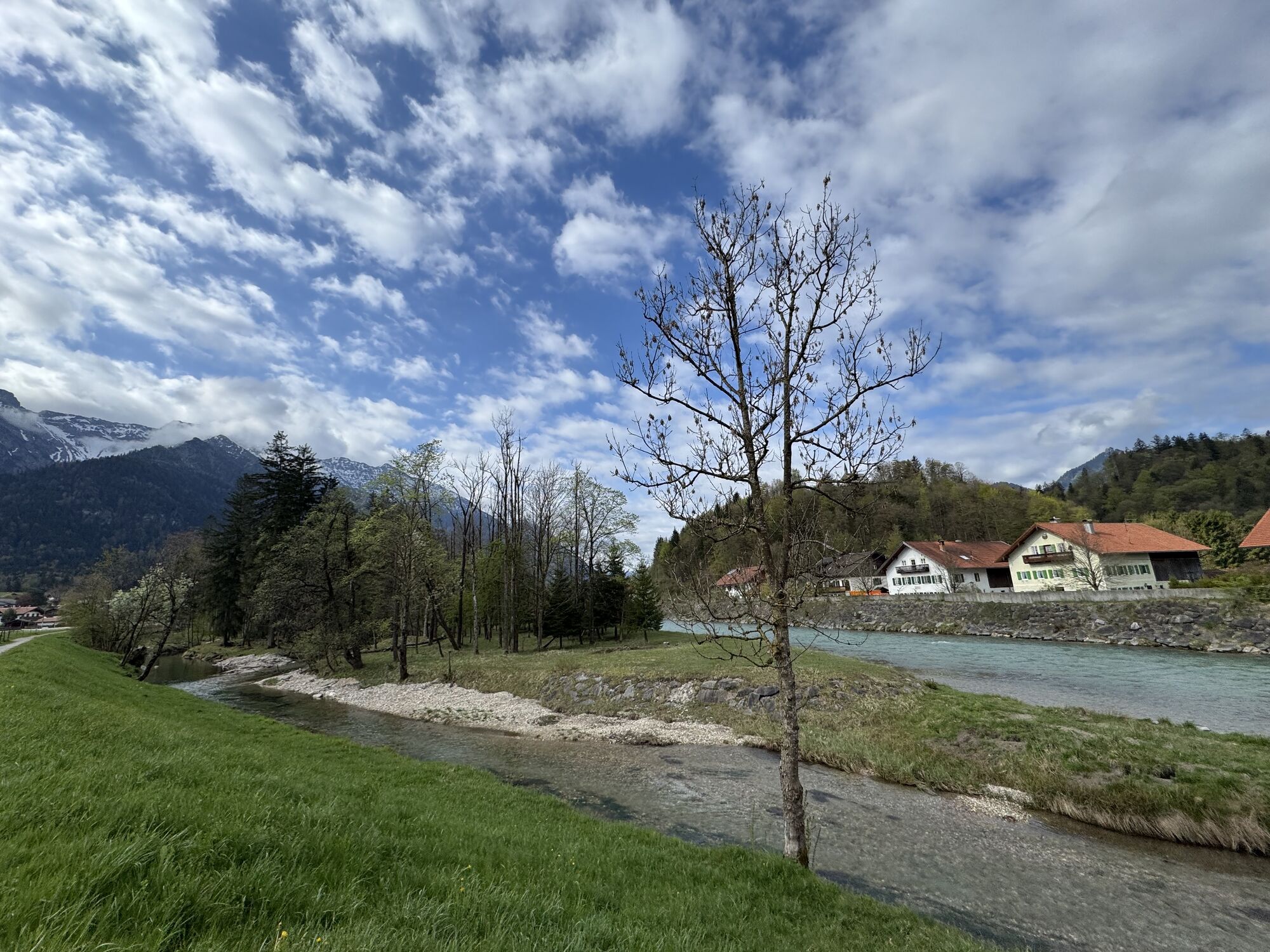
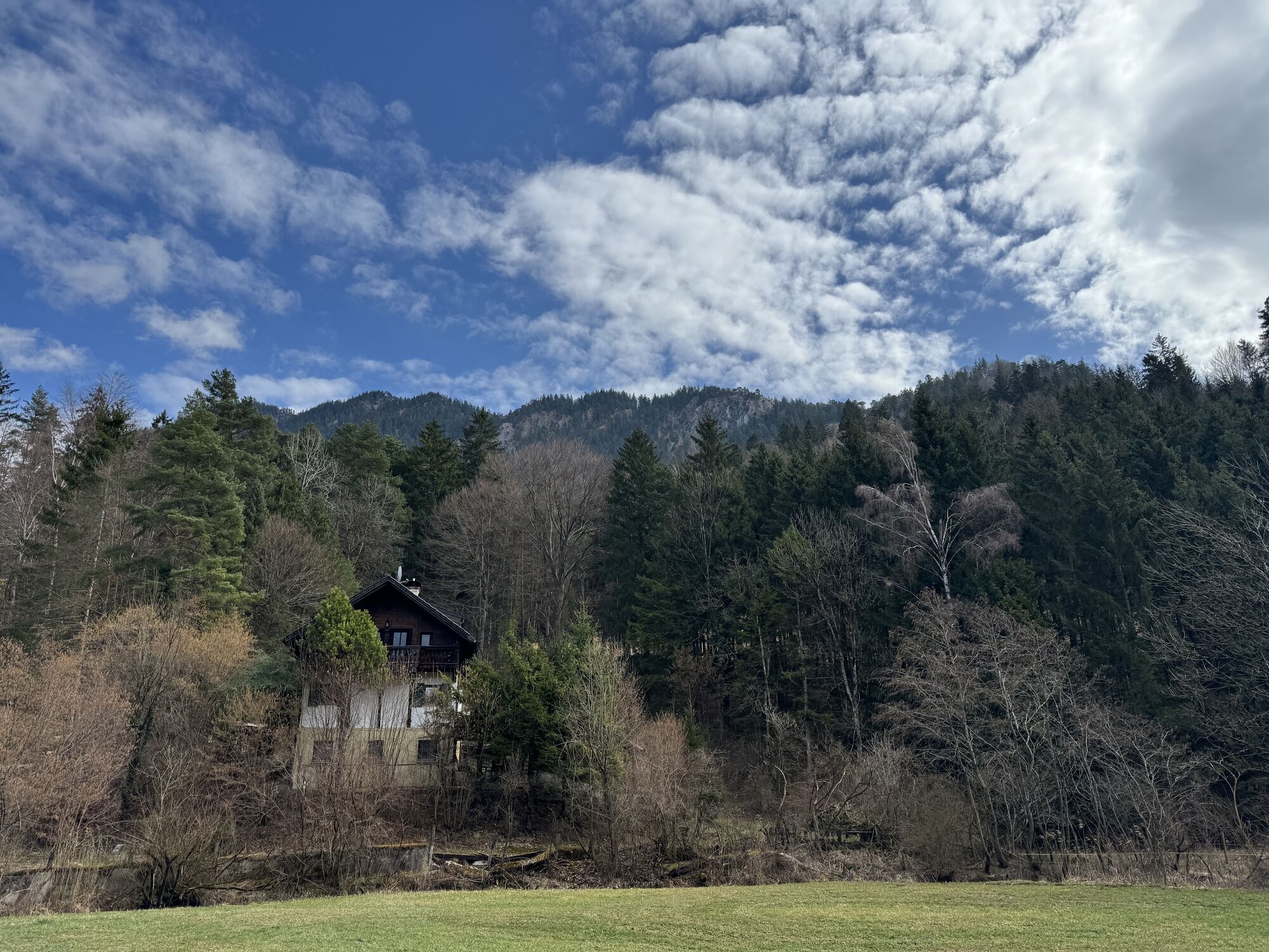
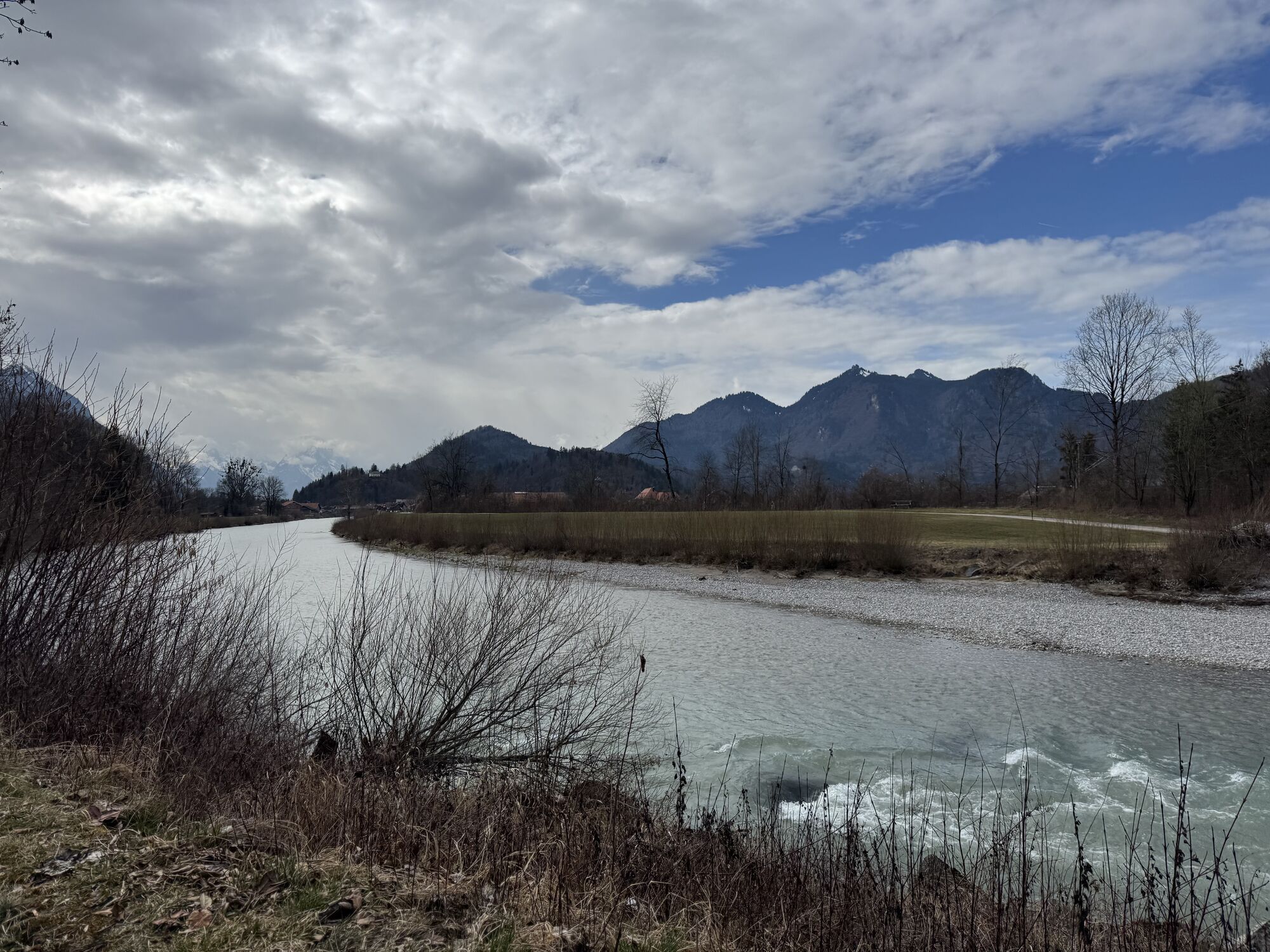
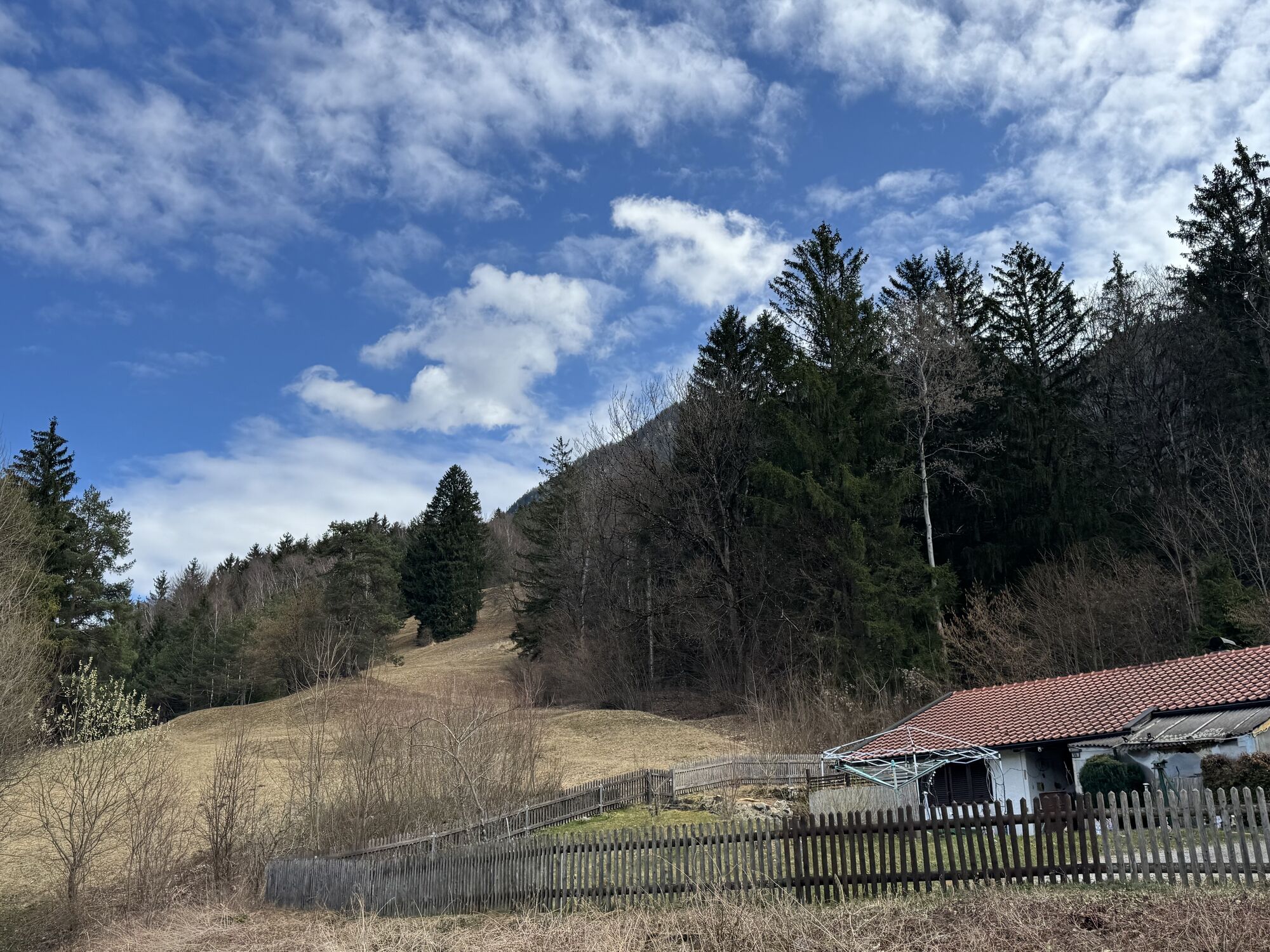
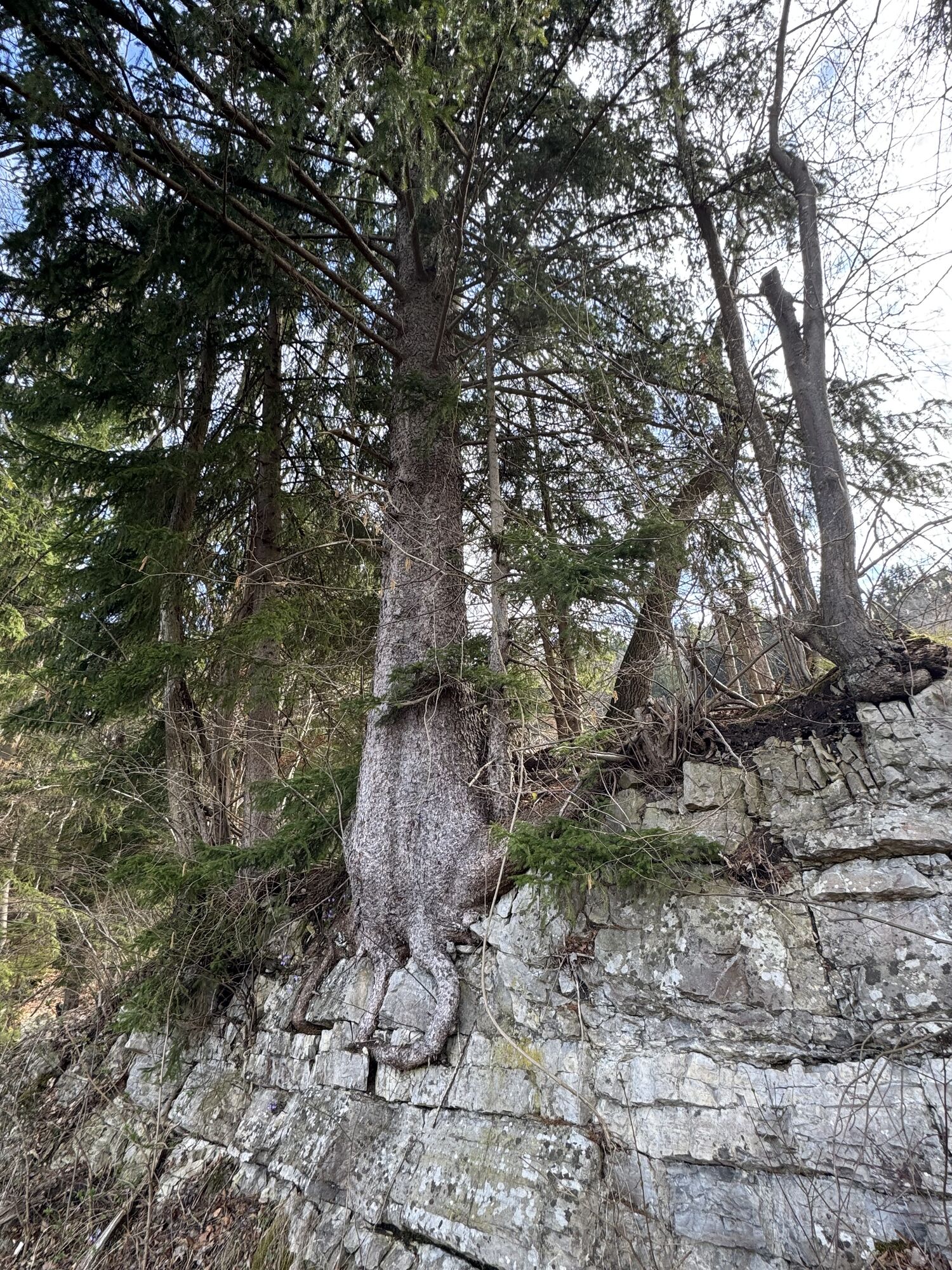
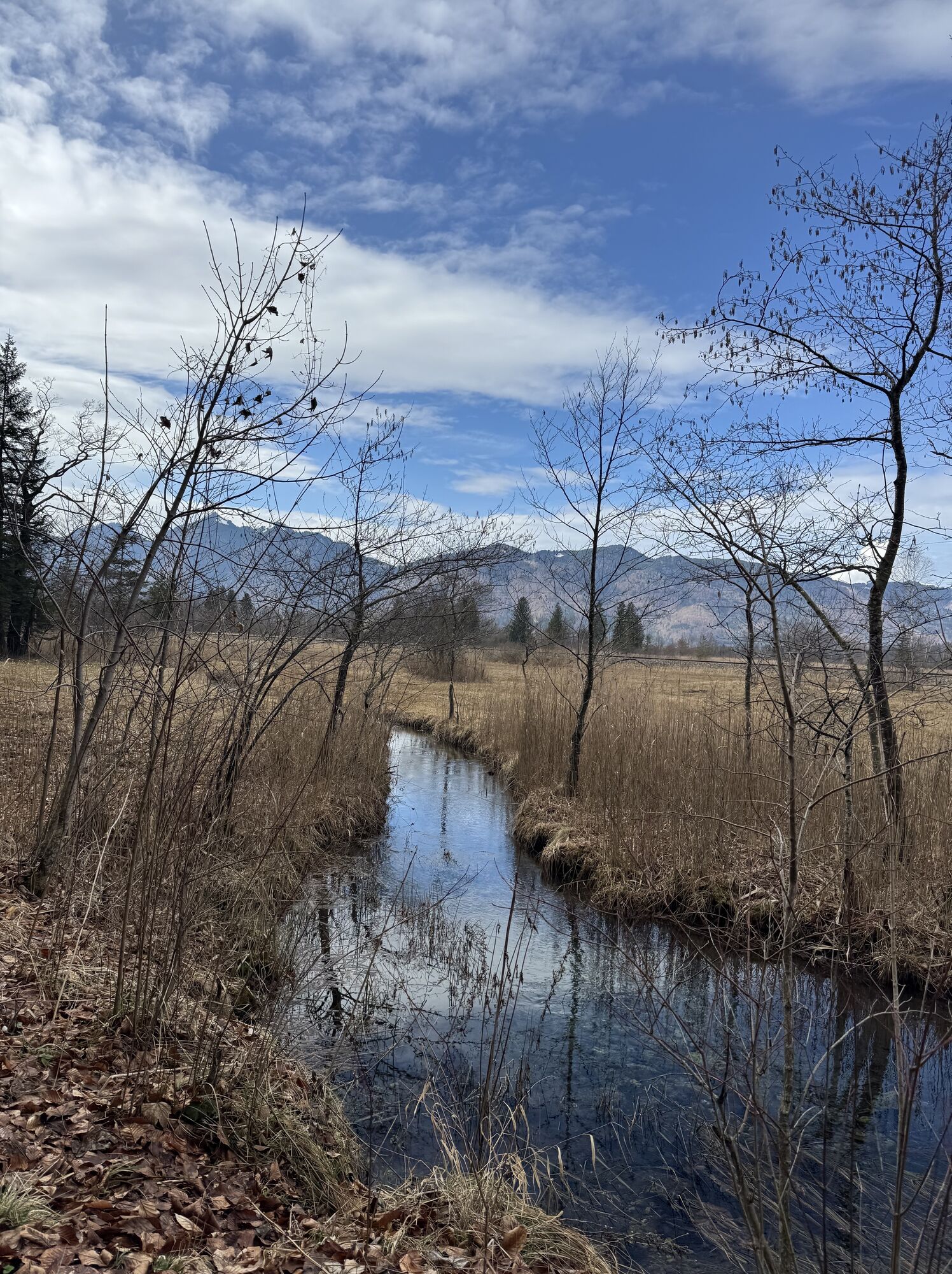
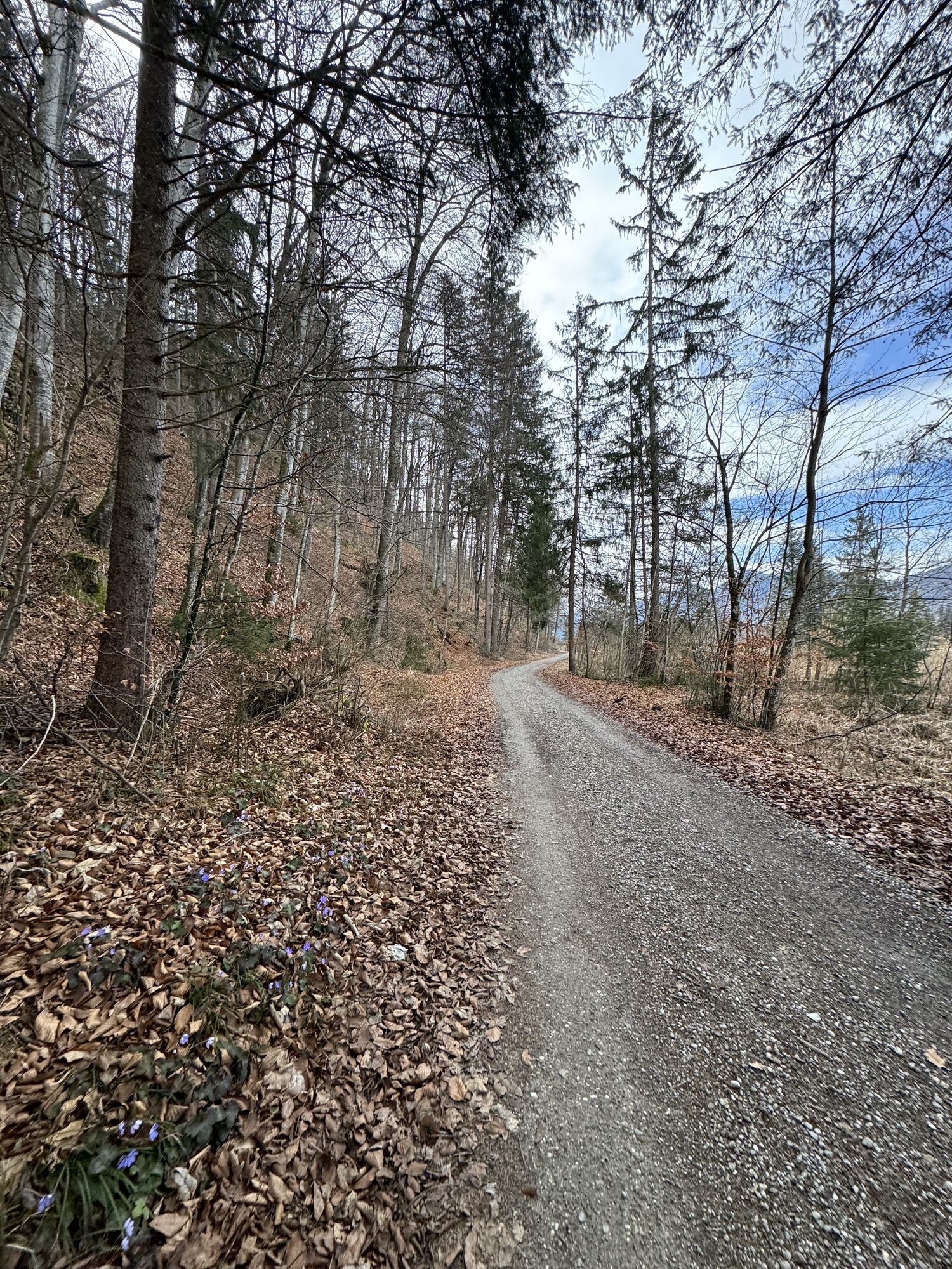
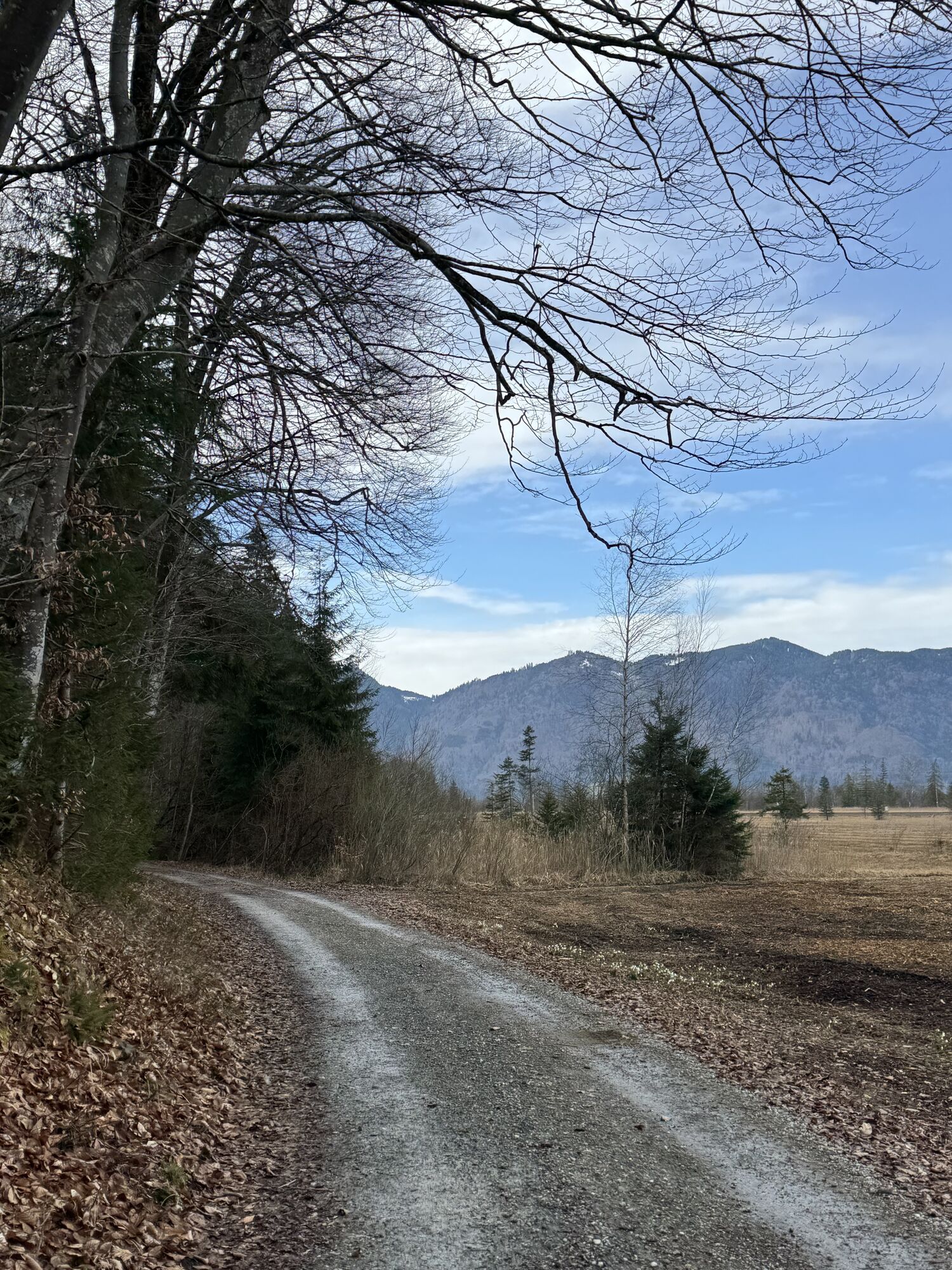
Over a length of just over 100 kilometers, you will be offered pure variety. You can approach the route in a sporty way and complete it in one day, or you can plan several days for the stretch – countless...
Over a length of just over 100 kilometers, you will be offered pure variety. You can approach the route in a sporty way and complete it in one day, or you can plan several days for the stretch – countless tourist highlights await you along the way to discover. Whether a ride on the Zugspitze Railway, a detour to the Glentleiten Open-Air Museum, or a short stroll through the nearby town of Murnau with its museums – on a ride along the Loisach Cycle Path, no wishes remain unfulfilled. Along the route you will also find information about rafting. A must-do route for every pleasure cyclist!
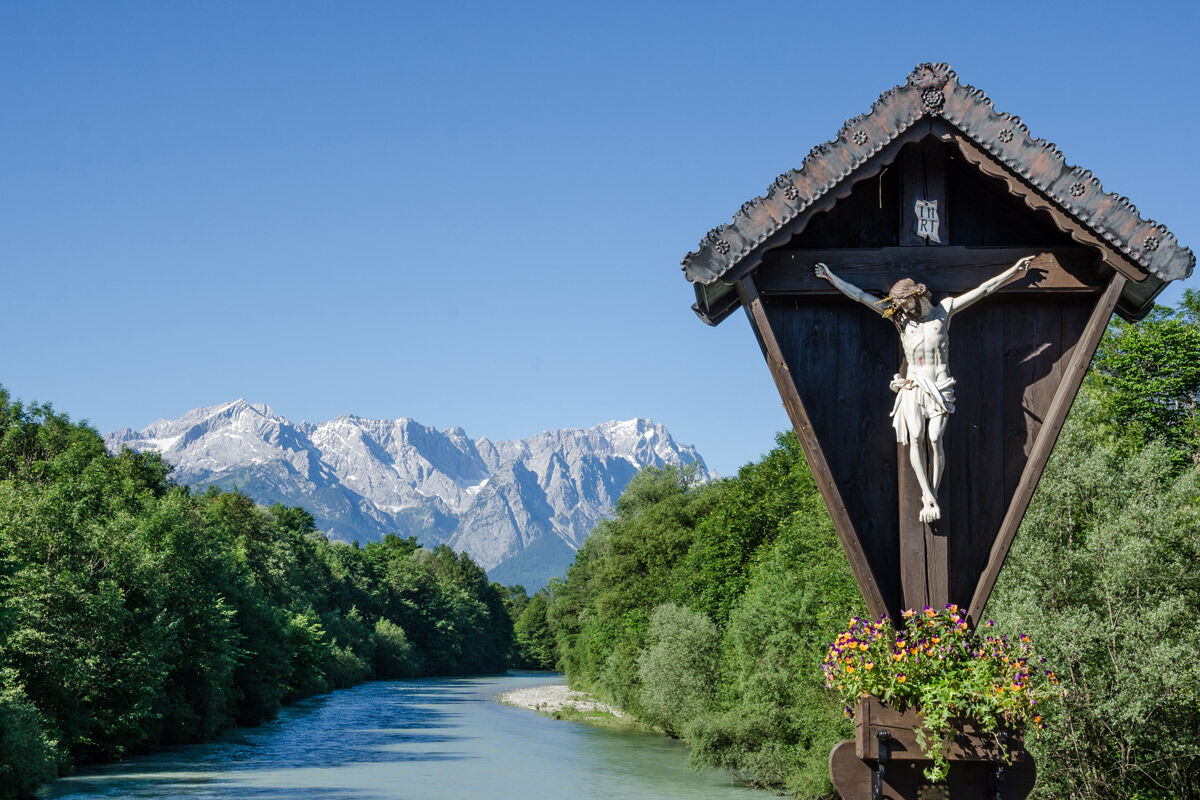
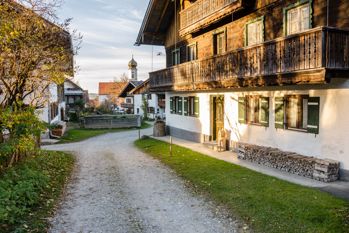


The Loisach originates in a moor area in the federal state of Tyrol, between the Lechtal Alps to the west and the Mieming Range to the east, below or north of the Fern Pass. Its source is located in the community of Biberwier in the area of Blind-, Mitter- and Weißensee. The route on the Loisach Cycle Path starts there. Its waters then flow northwards through the Ehrwald basin and subsequently along the B 187 through Ehrwald and west past the Zugspitze to the German border. Its course leads you along the river into the Zugspitze region and further into the Blue Land. Via Ohlstadt with its original village center and the noteworthy Kaulbach Villa and Großweil, you reach Lake Kochel. From the lake, it continues via Benediktbeuern and Eurasburg to Wolfratshausen. At Wolfratshausen, the Loisach finally flows into the Isar.
Tak
Bicycle helmet Gloves Short or long cycling pants Short or long jersey Rain jacket Good shoes, possibly with click-in mechanism Sunglasses Drinking system Food First aid kit GPS device + second set of batteries Up-to-date map (scale 1:50,000) Spare inner tube, pump Tools Camera Money
In case of emergency, please contact the nearest rescue control center. Regardless of your location, you can reach it throughout Germany by dialling 112.
The hiking and cycling paths we describe primarily serve forest management purposes; use them at your own risk (§ 14 Abs. 1 BWaldG).
Guests of the "Das Blaue Land" region as well as the "Ammergau Alps" can use a variety of bus lines and the train lines from Murnau to Oberammergau and from Uffing to Garmisch-Partenkirchen for free with the electronic guest card or the KönigsCard. Further information is available at: www.dasblaueland.de/Service/mobil
Please note: guests in “The Blue Land” and the “Ammergau Alps” regions can park free of charge at a variety of municipal parking areas (maximum parking time may not be exceeded) with the electronic guest card or the KönigsCard.
1
Kamery internetowe z trasy
-
Grubig Alm
-
Ehrwalder Alm
-
Marienberg
-
Tiroler Zugspitze - Golf-Anlage
-
Lermoos
-
Benediktbeuern
-
Laber Bergbahn - Bergstation
-
Laber Bergbahn - Bergstation
-
Coburger Hütte
-
Bad Heilbrunn
-
Ehrwald Wettersteinbahnen
-
Wettersteinbahnen
-
Wettersteinbahnen - Gamsalm Ehrwald
-
Garmisch-Partenkirchen - Alpspitze
-
Garmisch-Partenkirchen - Panoramaberg Wank
-
Ehrwald Gaistal
-
Grubigstein
-
Tiroler Zugspitze - Golf-Anlage
-
Ehrwald - Almbahn
-
Tirolerhaus Ehrwald
-
Issental Tal
-
Garmisch - Kandahar Lodge
-
Garmisch-Partenkirchen - Rathaus
-
Garmisch-Partenkirchen - Olympiaschanze
-
Garmisch-Partenkirchen - Festsaal
-
Grainau / Ferienhaus Wetterstein
-
Zugspitzdorf Grainau
-
Zugspitzdorf Grainau
-
Zugspitzdorf Grainau
-
Zugspitzdorf Grainau
-
Zugspitzdorf Grainau
-
Zugspitzdorf Grainau
-
Zugspitze Tal
-
Gsteig
-
Wankhaus
-
Oberammergau - Murnau
-
Oberammergau - Laber
-
Eibsee Nord
-
Eibsee-Hotel
Uzyskaj wgląd
Zawsze na żywo z ponad 9 500 kamer internetowych. bergfex Jako użytkownik Pro, możesz teraz zobaczyć odpowiednie kamery internetowe dla wielu wycieczek w aplikacji wycieczki od. Pozwala to na bezpośredni podgląd aktualnych warunków.
Popularne wycieczki w okolicy
-
4,8
Mountain route - Laber via Soilasee
światłoWędrówka 11,8 km -
4,8
Jochberg
światłoWędrówka 7,56 km -
4,8
Rundweg Heimgarten und Herzogenstand
średniWędrówka 15,0 km -
4,6
Murnauer Moos
światłoWędrówka 11,5 km -
4,6
Laber - Ettaler Mandl
światłoWędrówka 9,10 km -
4,6
"Rabenkopf" Rundweg
Wędrówka 11,0 km -
4,6
Mountain route - Heimgarten via Käseralm
średniWędrówka 10,8 km -
4,7
Herzogstand
średniWędrówka 7,28 km -
4,0
Rabenkopf
średniWycieczki górskie 17,1 km -
4,0
Jachenau Talwanderung
Wędrówka 14,8 km
Wędrówki i tropienie


Nie przegap ofert i inspiracji na następne wakacje
Twój adres e-mail została dodana do listy mailingowej.





