


Nature park trail around the Schaumburg, Schalkau
Poziom trudności: T2
The nature park trail starts at the nature park gate below Ida-Platz. At the foot of the Schaumberg, it then leads to the listed "Zigeunereiche". There, a small rest area invites you to linger, and a display...
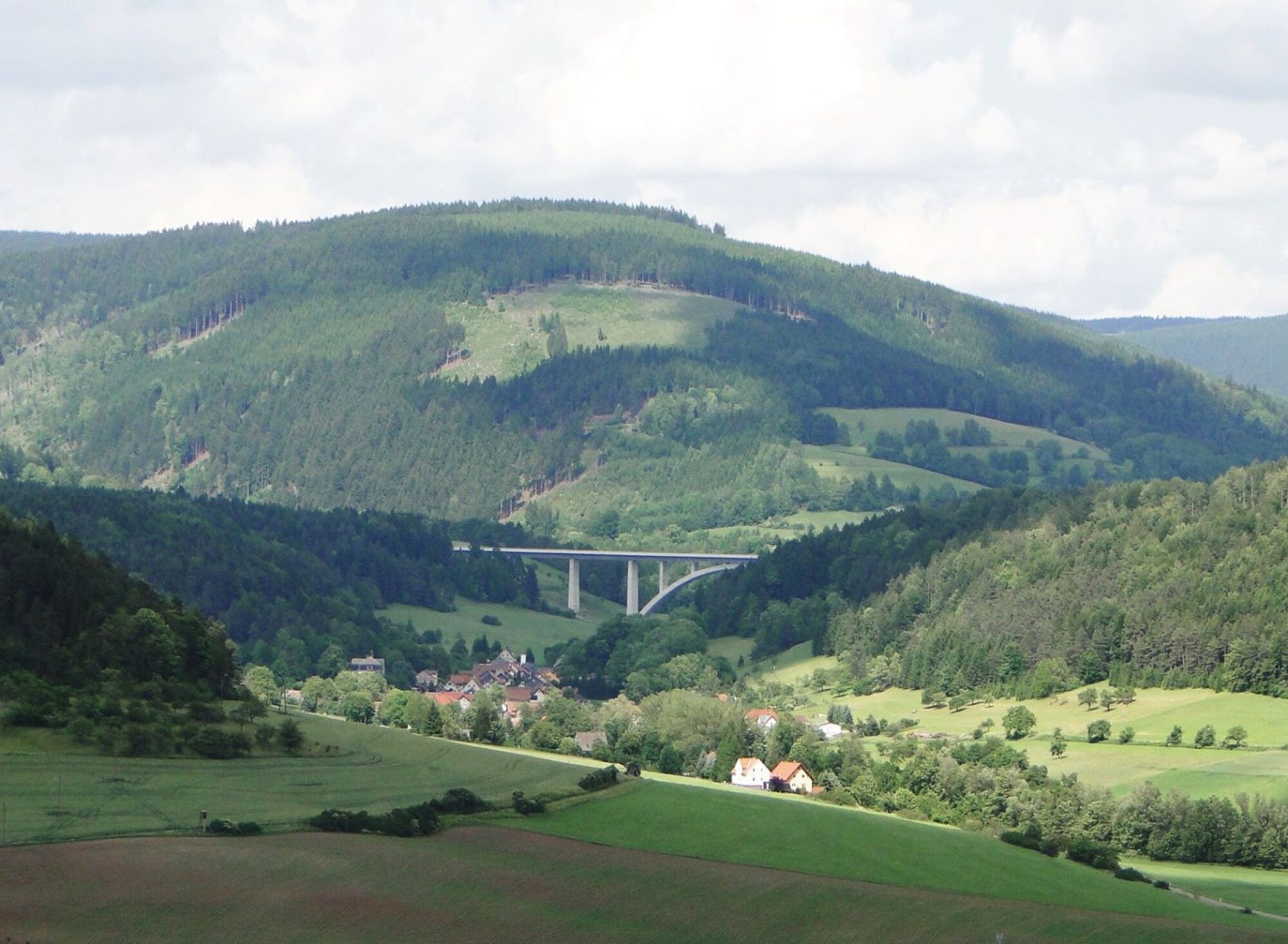
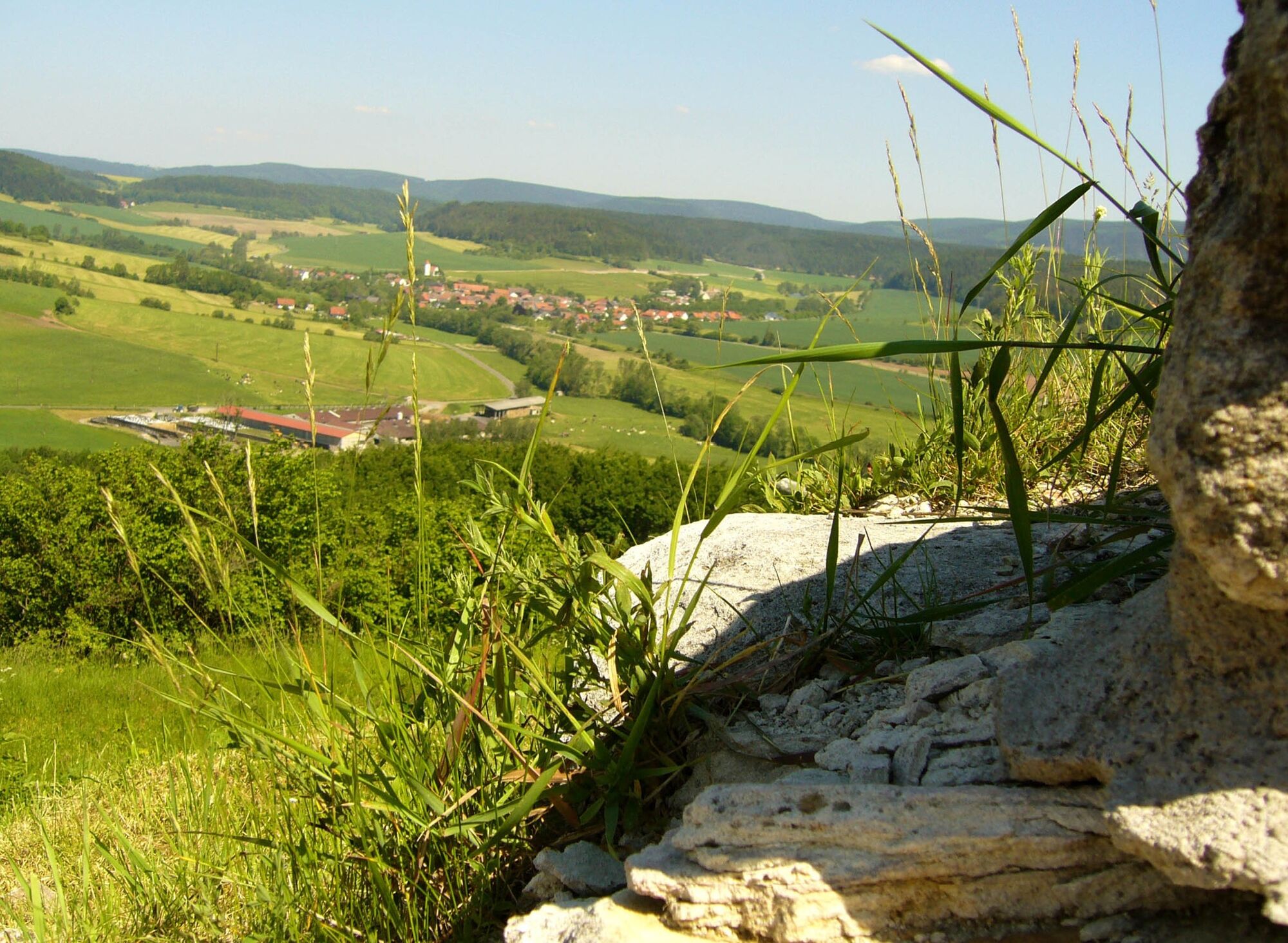
The nature park trail starts at the nature park gate below Ida-Platz. At the foot of the Schaumberg, it then leads to the listed "Zigeunereiche". There, a small rest area invites you to linger, and a display board tells the story of the legendary tree. The path winds its way further around the mountain and offers impressive views of the picturesque forest. Once at the castle, visitors can enjoy a breathtaking panoramic view of the Schaumberg region all the way to Upper Franconia. Information boards reveal interesting facts about the history of the castle, which once included the former chamber estate, the "Domäne Schaumburg". Today, there are various, sometimes unusual, places to stay overnight - far away from the hustle and bustle of the city. Passing another archaeological monument, the so-called "Docke", the path then leads downhill back into the forest and up a flight of steps back to the starting point, Ida-Platz.

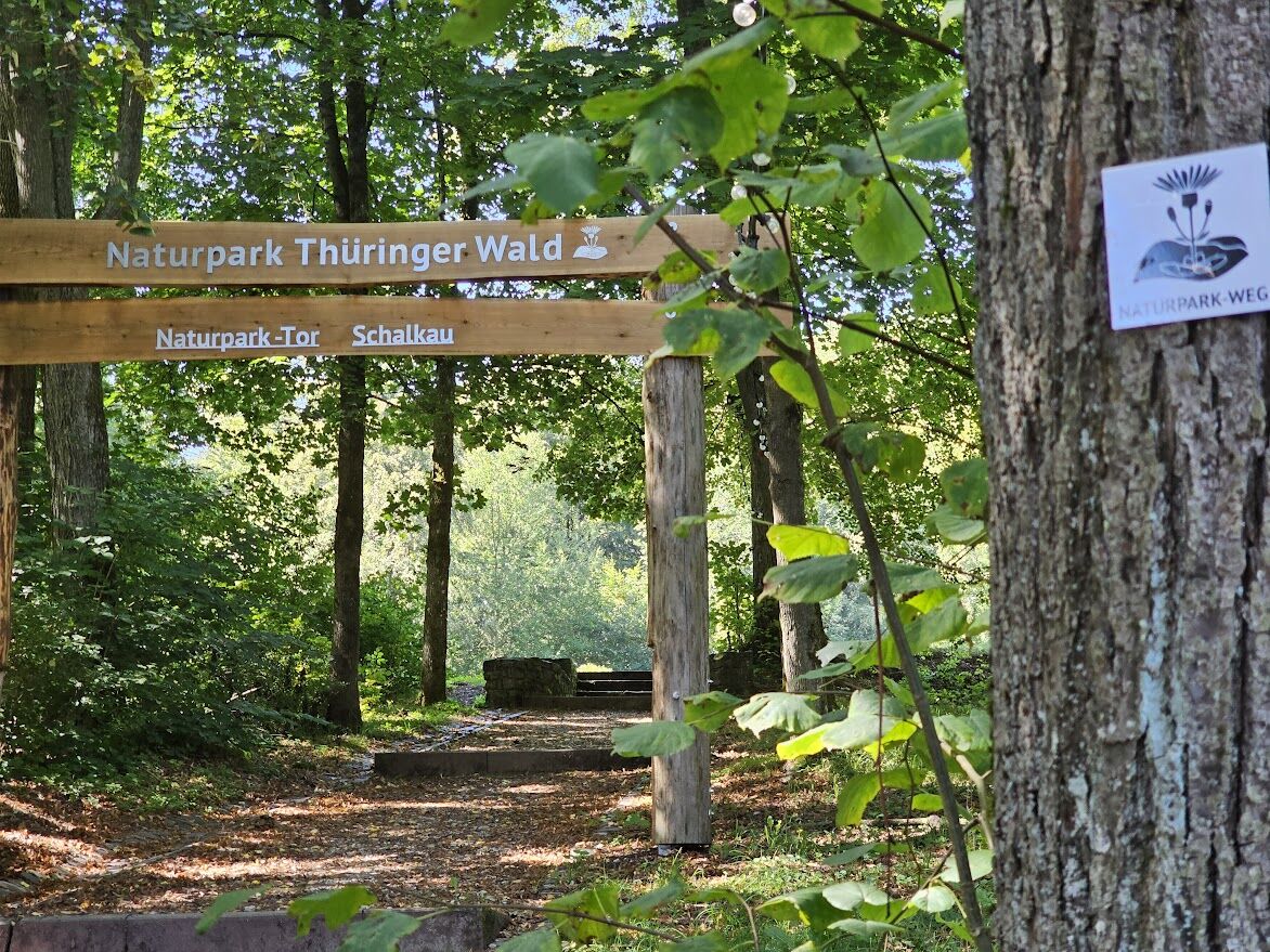
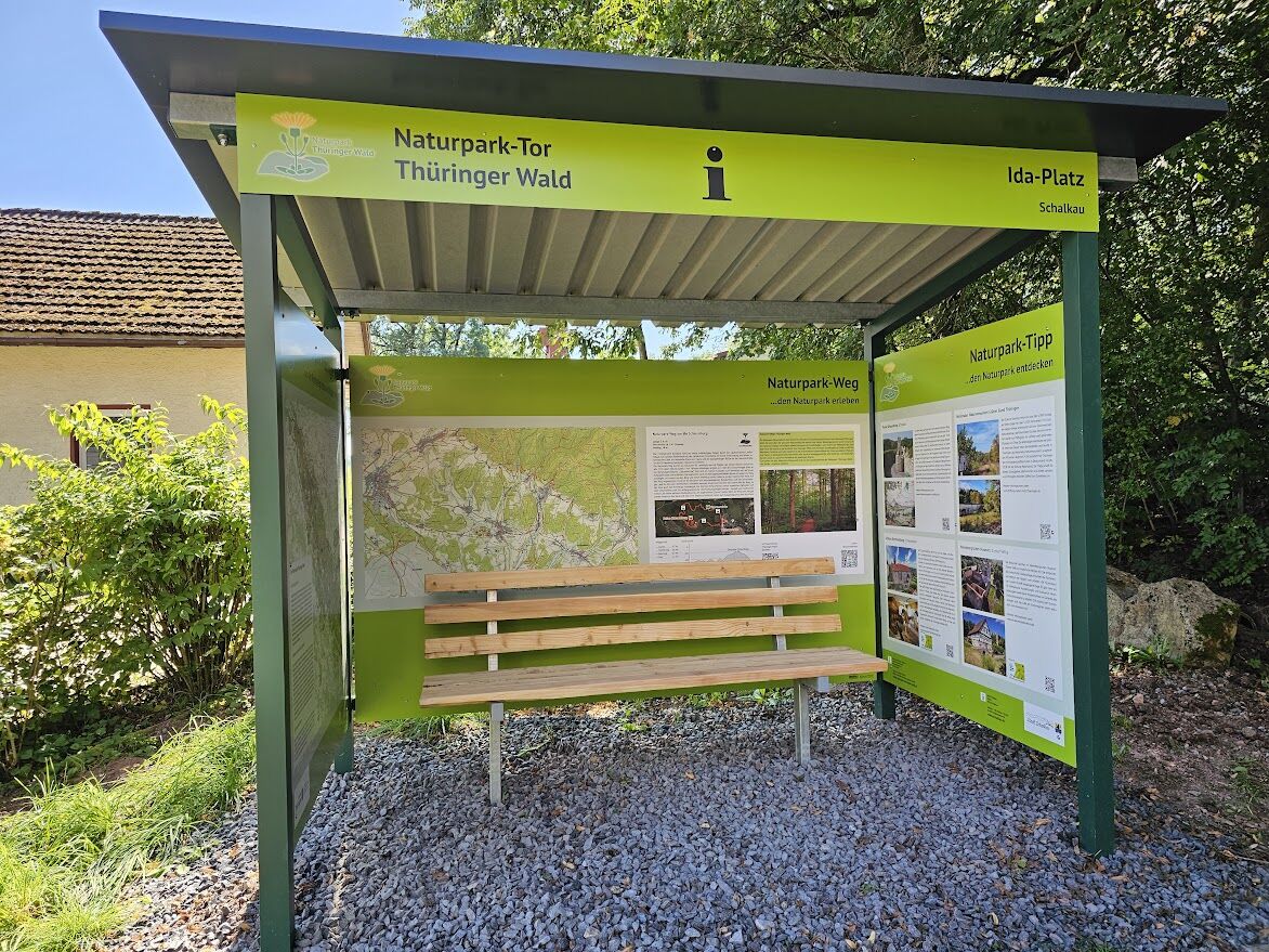
The nature park trail starts at the nature park information hut at the Schalkau nature park gate and leads up to the ruins of Schaumberg Castle. Many steps take you up to the highest point and back down to the starting point.
Tak
Tak
Sturdy shoes
Rainwear
First aid kit
Drink reserve
GPS navigation device or smartphone is not absolutely necessary, as the trail is well marked.
The paths and trails are slippery in wet weather! The ascent to the castle ruins requires a head for heights!
Coming from the A73, take exit 5 (Eisfeld-Nord) and then continue south on the B281 until after the 2nd traffic circle. Continue on the B89 in the direction of Schlakau / Sonneberg. By car directly to the Schießhaus.
You can reach Schalkau with the SüdThüringenBahn trains from Sonneberg.
T2
In Schalkau, you can find more information about the region at our Geopark information point at the train station.
Book a guided tour via the Schaumburgverein. Contact at: www.schaumburgverein-schalkau.de
Popularne wycieczki w okolicy
-
5,0
Circular hiking route - TOP 1 - Werra Source - Masserberg - Thuringian Forest
średniWędrówka 5,94 km -
4,0
Circular hiking trail - TOP 4 - Masserberg - Fehrenbach Switzerland - Thuringian Forest
średniWędrówka 11,5 km -
Circular route - "When Rennsteig meets the Schwarzatal panorama path" - Limbach
średniWędrówka 9,68 km -
Circular route - TOP 3 - hike with a view - Masserberg - Thuringian Forest
średniWędrówka 17,3 km -
4,0
Circular hiking trail - TOP 2 - Masserberg - "Cultural Experience" - Friedrichshöhe - Thuringian Forest
średniWędrówka 15,2 km -
Circular hike - Around the pumped-storage power plant - Goldisthal
średniWędrówka 19,5 km -
Teufelskanzel-Saulochklamm-Einberg
średniWędrówka 7,73 km -
Circular hiking trail - TOP 5 - "Family Fun" - House of Nature Goldisthal - Masserberg - Thuringian Forest
średniWędrówka 8,12 km -
Terrain therapy trail Masserberg - TKW 4 Sommerberg/Dreiherrenstein - Thuringian Forest
średniWędrówka 7,28 km -
Nature Park Trail - Griffel Path in the Thuringian Forest
ciężkiTrasa tematyczna 6,45 km

Wędrówki i tropienie


Nie przegap ofert i inspiracji na następne wakacje
Twój adres e-mail została dodana do listy mailingowej.