







Hiking "Rennsteig Ladder Katzhütte-Goldisthal-Scheibe-Alsbach" Thuringian Forest
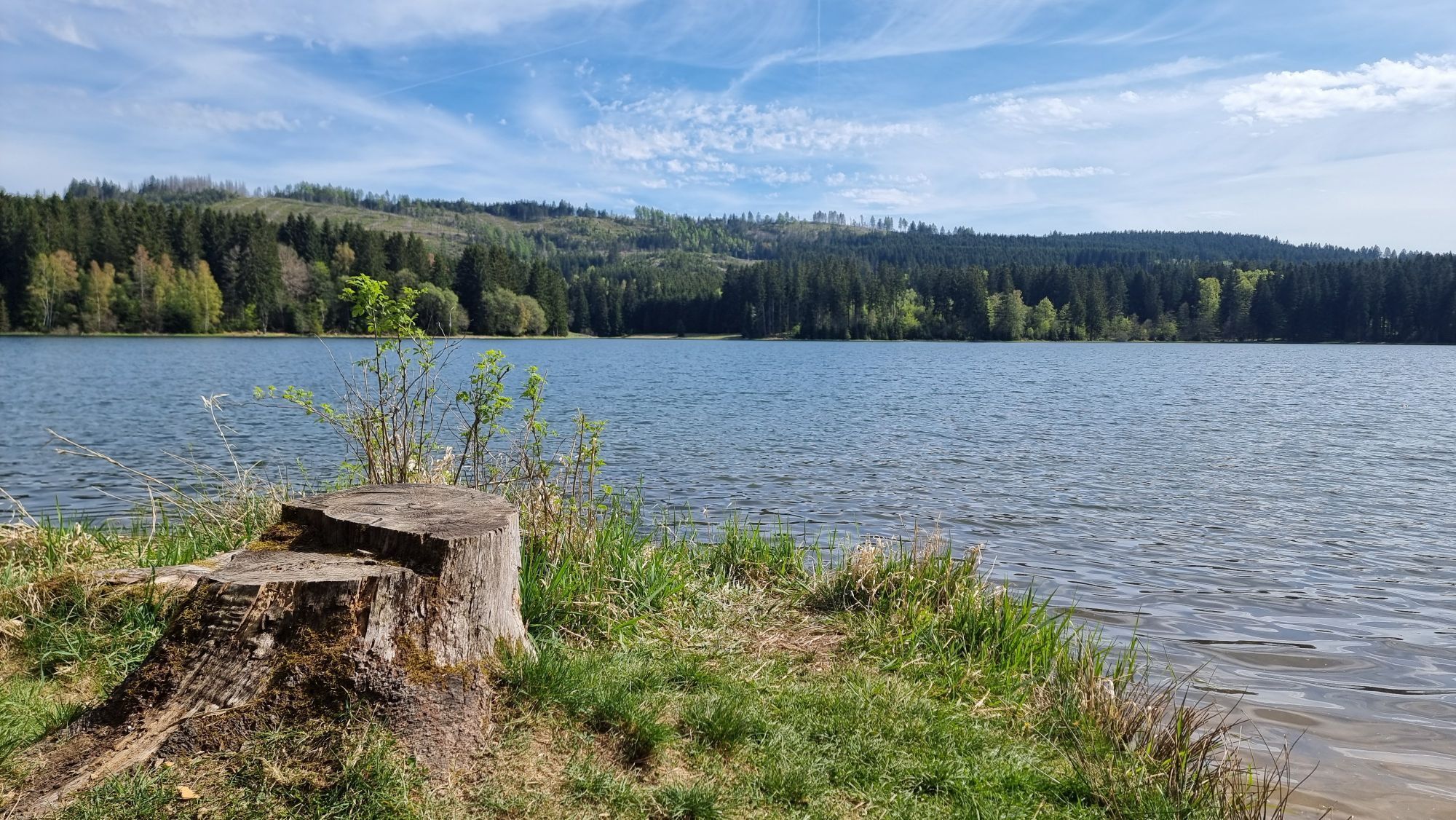
Join us climbing the "Rennsteig Ladder" up to the Rennsteig.
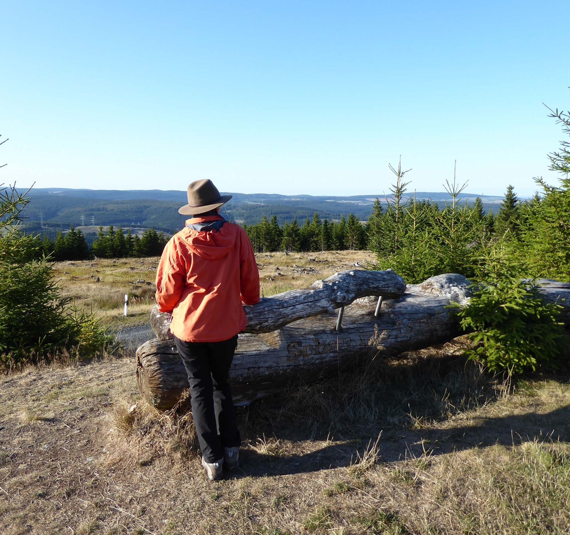
Nearly 17 kilometers full of adventure and splendid nature with beautiful views of the Schwarza Valley and the Thuringian Forest await you.
Here...
Join us climbing the "Rennsteig Ladder" up to the Rennsteig.
Nearly 17 kilometers full of adventure and splendid nature with beautiful views of the Schwarza Valley and the Thuringian Forest await you.
Here in Katzhütte you can see the manor house. The daughter of the famous poet Friedrich Schiller lived here. Today the mayor's office is located in the manor house.
Nearby you find the lovingly furnished local history room. Here you learn how people used to live from the porcelain, glass, and metal industries. You follow the course of the Schwarza and reach Oelze. Worth seeing there is the small village church with its simple wooden interior.
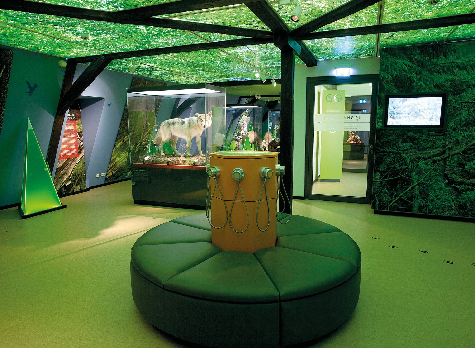
Your path to the Rennsteig continues to Goldisthal, where you should definitely visit the "House of Nature" and the Farmdenkopf reservoir of the pumped storage power plant. The 870-meter-high dam offers you an unforgettable view of the Slate Mountains.
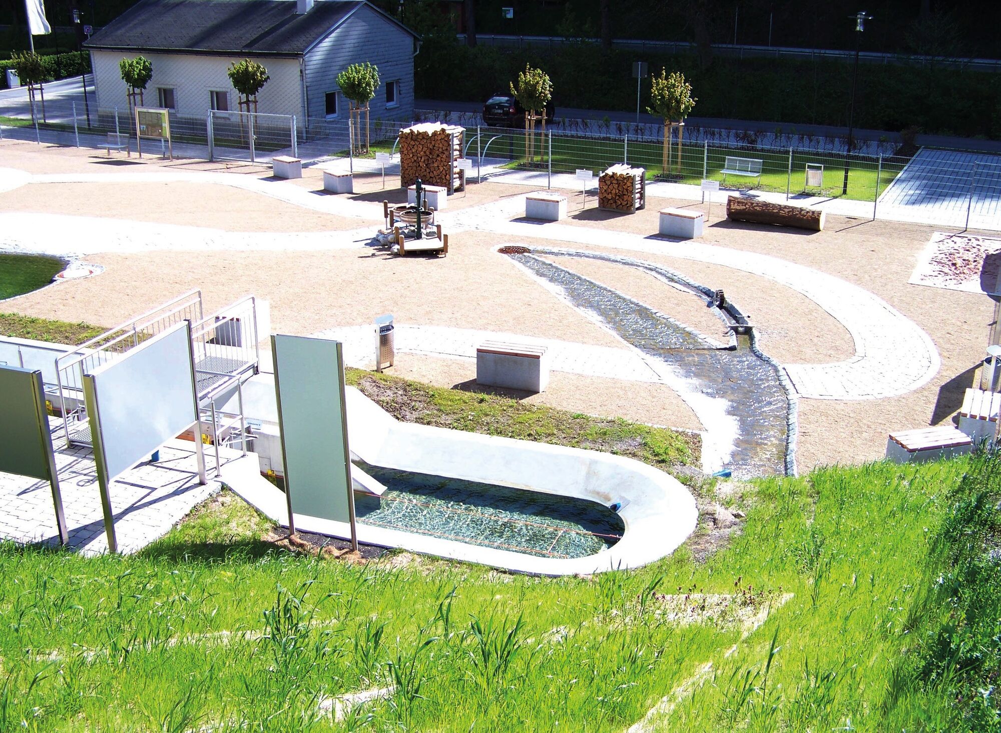
In Scheibe-Alsbach, let yourself be enchanted by gold and minerals. In the namesake magic world there is even a gold panning site.
At the edge of the village, the Schwarza springs, which is dammed after a few hundred meters to form the Schwarza Valley reservoir. Swimming is not allowed because the lake is used for drinking water supply. However, you will never forget the view of the deep blue water amidst densely forested mountains.
Upon arrival in Limbach, you have reached your access to the Rennsteig.

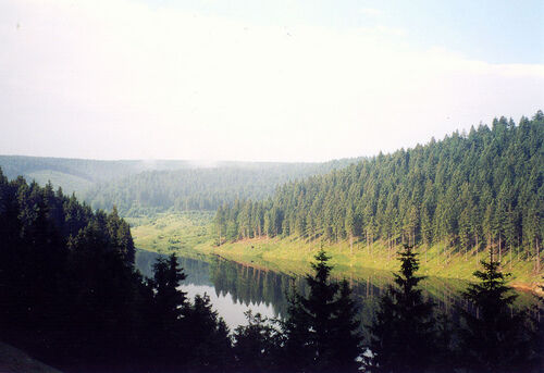
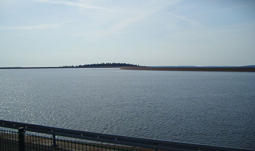
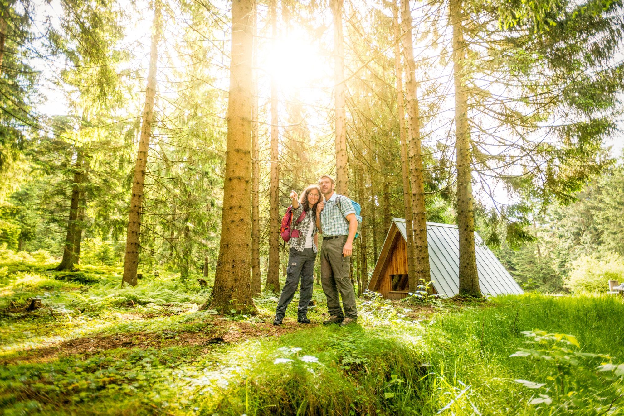
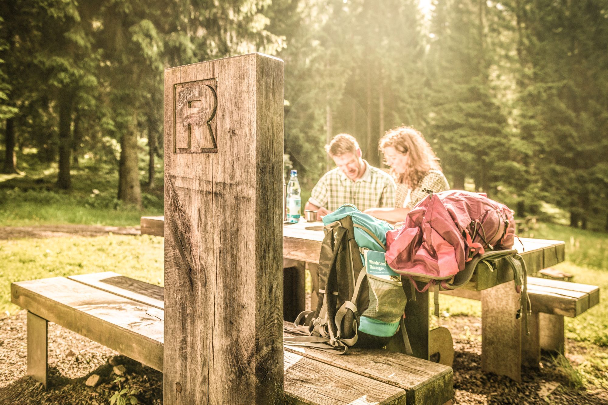

Katzhütte - district Oelze - Goldisthal - Upper Reservoir - Scheibe-Alsbach - Dam - Limbach
Entry at the village portal Goldisthal is also possible (route length 11.6 km).
Tak
Sturdy footwear
Rainwear
First aid kit
GPS navigation device or smartphone
The hiking trail requires sturdy footwear. You partly walk on narrow paths. Avoid stepping on moss-covered stones and rocks due to the risk of slipping and pay attention to deadwood, branches and fallen trees.
Via the A71 motorway, exit 15 Ilmenau East. In the following roundabout take the second exit onto B 88 towards Gehren. At the traffic light in the town center turn right onto L 1047 through Möhrenbach, Hohe Tanne to Großbreitenbach. In Großbreitenbach continue on L 1047 to Oelze, then turn left onto L112 to Katzhütte.
You can reach Katzhütte by trains of Deutsche Bahn (Schwarzatalbahn)
Use the following link to the Deutsche Bahn travel portal for travel planning:
→ Travel to Katzhütte
Simply add your travel starting point and the desired travel period.
Katzhütte marketplace (Google NAV point)
Kamery internetowe z trasy
Uzyskaj wgląd
Zawsze na żywo z ponad 9 500 kamer internetowych. bergfex Jako użytkownik Pro, możesz teraz zobaczyć odpowiednie kamery internetowe dla wielu wycieczek w aplikacji wycieczki od. Pozwala to na bezpośredni podgląd aktualnych warunków.
Popularne wycieczki w okolicy
-
5,0
Naturlehrpfad Gießübler Schweiz
średniWędrówka 7,99 km -
3,0
Circular hike - "4 ponds hike" Neustadt am Rennsteig - Thuringian Forest
ciężkiWędrówka 12,6 km -
3,8
Rundweg Talsperre
średniJazda na rowerze 14,5 km -
The Rennsteig - long-distance hiking trail from Hörschel to Blankenstein - Thuringian Forest
ciężkidługodystansowy szlak pieszy 169,0 km -
5,0
Circular hiking route - TOP 1 - Werra Source - Masserberg - Thuringian Forest
średniWędrówka 5,94 km -
5,0
Rundtour Staudamm
światłoWędrówka 3,91 km -
Circular hiking trail - "Sculpture Trail" - Hiking start Unterweißbach - Thuringian Forest
średniWędrówka 24,4 km -
5,0
Circular hike - To the Schönbrunn Dam - Frauenwald
średniWędrówka 15,1 km -
Circular route - "When Rennsteig meets the Schwarzatal panorama path" - Limbach
średniWędrówka 9,68 km -
5,0
Circular hiking route - "Panorama View" - Schönbrunn - Thuringian Forest
średniWędrówka 9,79 km

Wędrówki i tropienie


Nie przegap ofert i inspiracji na następne wakacje
Twój adres e-mail została dodana do listy mailingowej.





