


Circular hike - Rennsteig - Werra bank in Hörschel - Thuringian Forest
Poziom trudności: T1
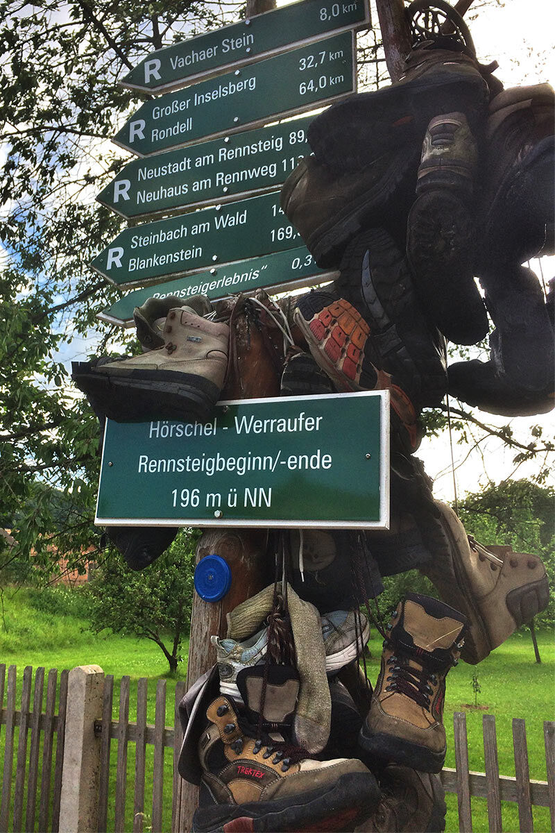
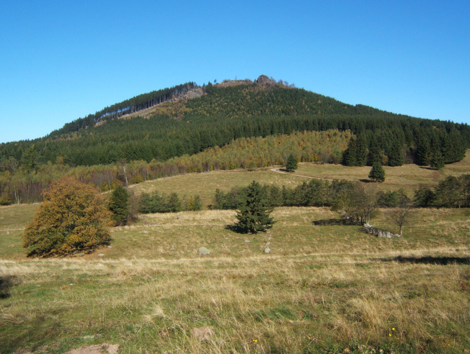
The Rennsteig in the Thuringian Forest offers many historical and cultural sights. It stretches over 169 km from Hörschel near Eisenach to Blankenstein in the northern Franconian Forest. Along the ridge...
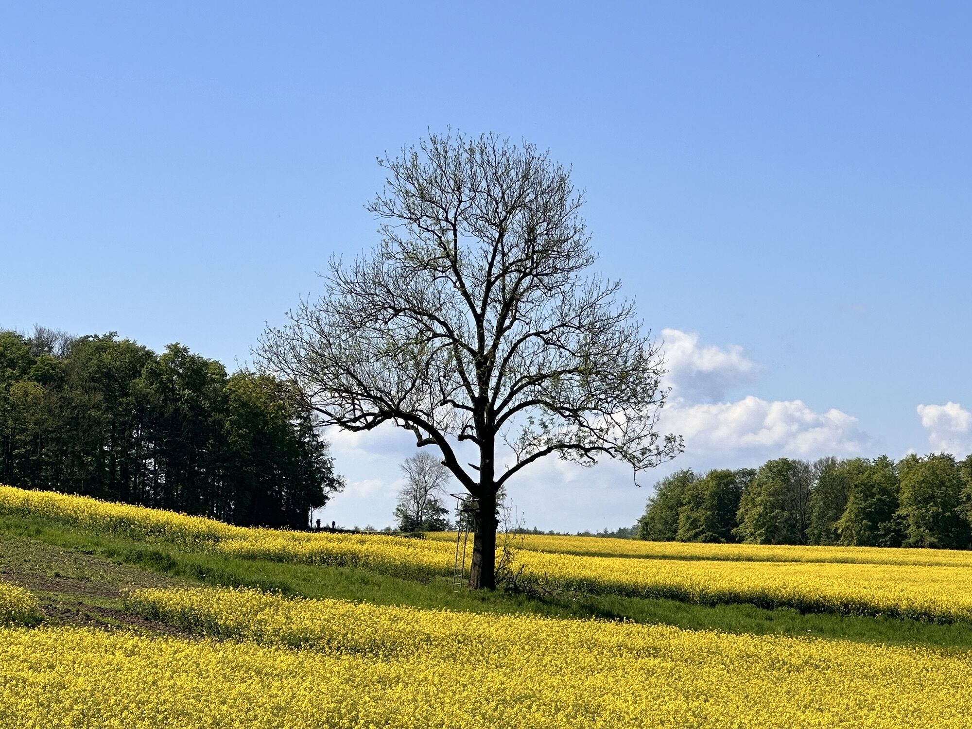
The Rennsteig in the Thuringian Forest offers many historical and cultural sights. It stretches over 169 km from Hörschel near Eisenach to Blankenstein in the northern Franconian Forest. Along the ridge path, we experience the natural beauty of the low mountain range. The Rennsteig has existed since the Middle Ages and originally marked the border of the Duchy of Franconia to the Landgraviate of Thuringia. Even today, historic border stones can be found along the Rennsteig, marking the border path since the 16th century.
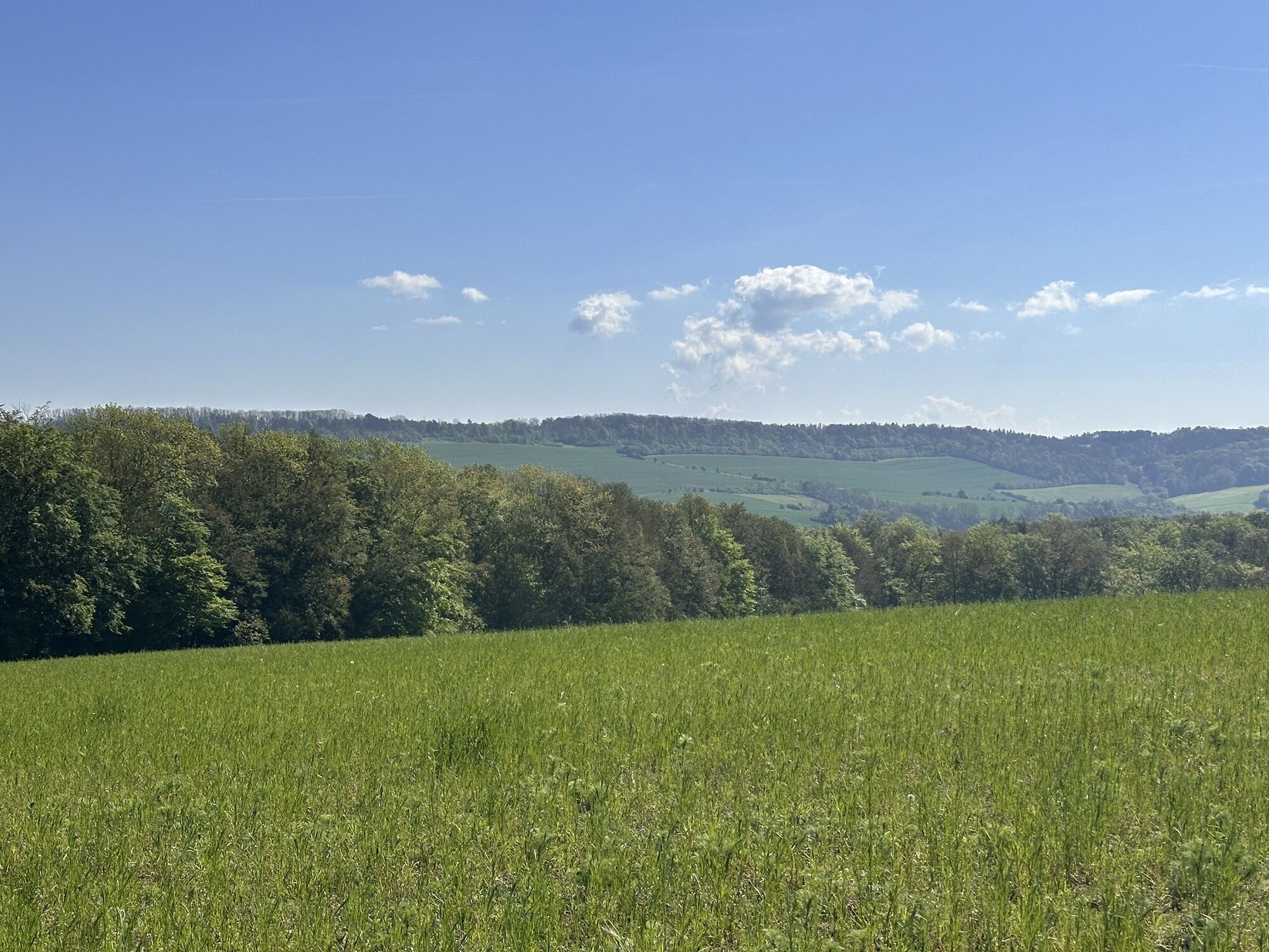
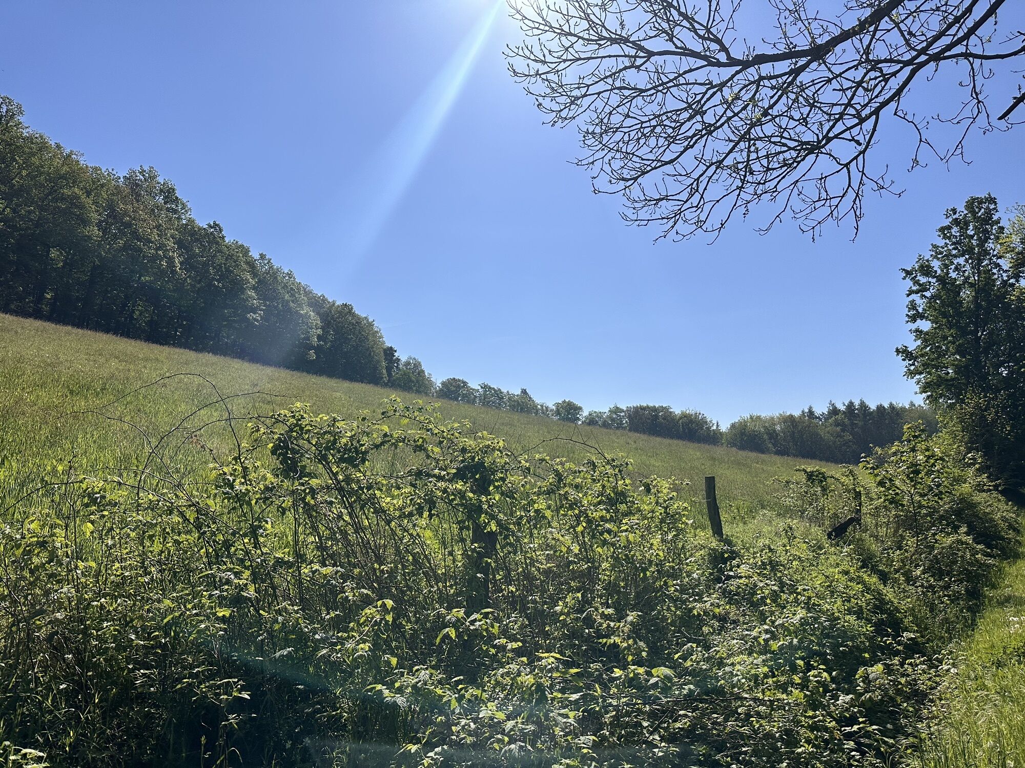
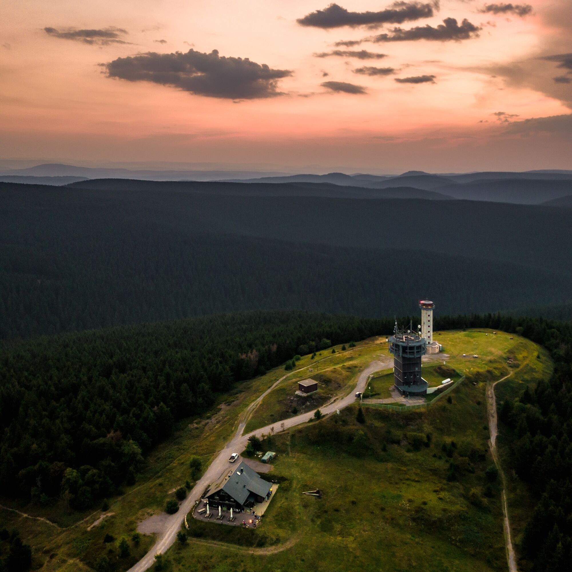
On the hiking trail, which has been awarded the German Hiking Association's Premium Seal “Wanderbares Deutschland”, we experience dreamlike views of the Wartburg, pristine nature, and steep ascents, for example to the Beerberg, with spectacular views.

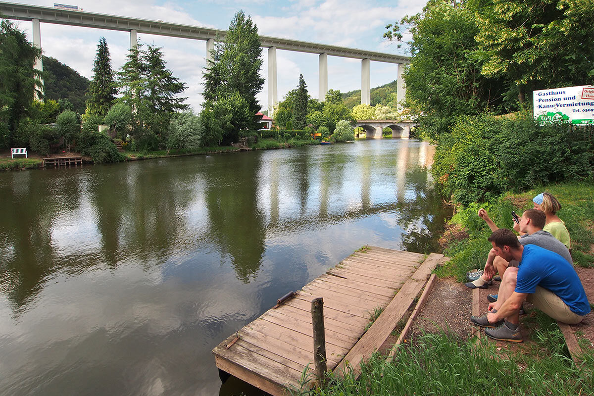
Hörschel - Clausberg - Hohe Sonne - Ruhla
sturdy footwear
drink supply
first aid kit
rainwear
GPS navigation device or smartphone
Use the parking areas directly in Hörschel (Google NAV point)
T1
Popularne wycieczki w okolicy
-
5,0
EA1 - Circular route - Gorge tour near Eisenach - Thuringian Forest
średniWędrówka 9,68 km -
4,7
IVV PW + GTW "In Luther's footsteps - Luther, dragons, landgraves, rose miracle..."
średniWędrówka 15,8 km -
3,7
EA2 - circular hiking route - "The Beauties of Eisenach" - Thuringian Forest
średniWędrówka 9,96 km -
5,0
Wartburg und Drachenschlucht
średniWędrówka 15,1 km -
4,8
Hike - "Rennsteig-Leiter Eisenach" Thuringian Forest
średniWędrówka 3,58 km -
5,0
Trasa okrężna 3 - Mariental/Smoczy Wąwóz/Grotta Elfów
średniWędrówka 3,54 km -
4,5
Circular hike - Legendary Hörselberge - Great Hörselberg near Eisenach - Thuringian Forest
średniWędrówka 10,6 km -
4,7
Hike - Rennsteig - Stage 1 - From Hörschel to Ascherbrück / Ruhla
ciężkiWędrówka 19,1 km -
4,0
Circular hiking trail - "Große Bermerrunde" - Ruhla - Thuringian Forest
światłoWędrówka 8,14 km -
EA3 - Circular hiking trail - "Wartburg Experience Route" - Thuringian Forest
średniWędrówka 6,14 km
Wędrówki i tropienie


Nie przegap ofert i inspiracji na następne wakacje
Twój adres e-mail została dodana do listy mailingowej.