



Around the Dornthal

Poziom trudności: T2
The path partly follows an old funeral route between Rauenstein and Schalkau and the Gold path on unpaved trails. Impressive are the old white fir stands along the edges of the path and the views to the...
The path partly follows an old funeral route between Rauenstein and Schalkau and the Gold path on unpaved trails. Impressive are the old white fir stands along the edges of the path and the views to the Hohe Thüringer Shale Mountains.

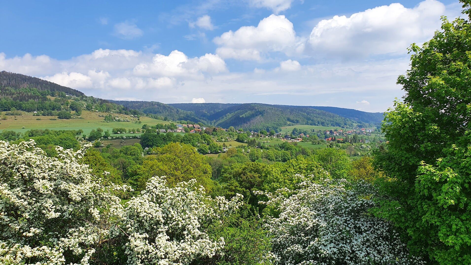
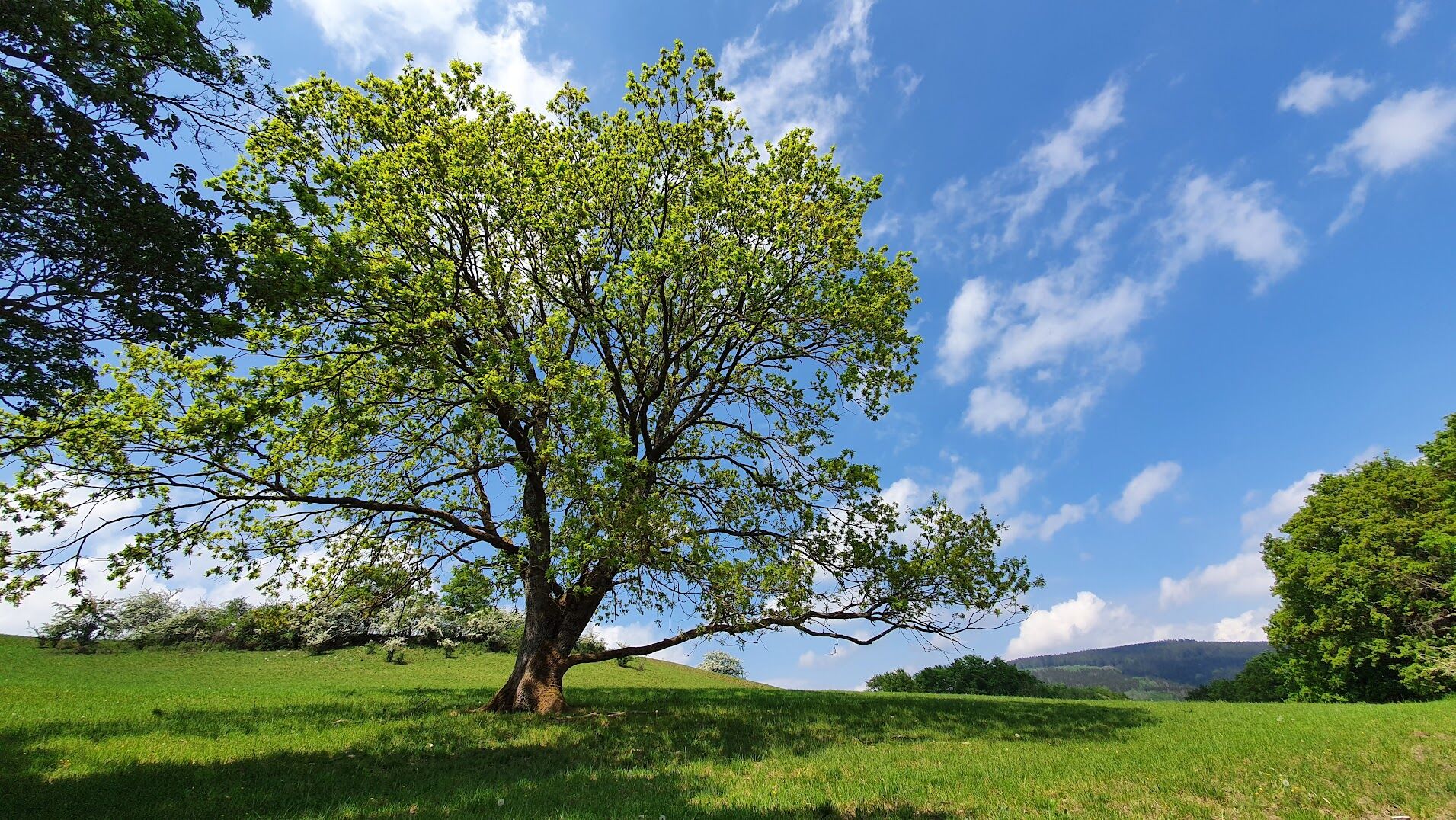
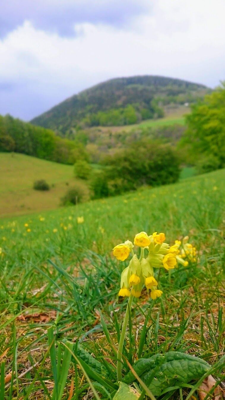

The circular hiking trail goes around the Dornthal mountain and connects the swimming pool in Rauenstein, the villages of Grümpen and Schalkau as well as the bridge over the ICE overtaking station Theuern. The trail surface varies between paved and unpaved.
Tak
Tak
Light hiking equipment is sufficient. The paths can be slippery due to the adhesive soil.
Schalkau is located on the B89, which leads directly to the A73 motorway.
The hiking trail starts at the Schalkau Mitte train stop. In Rauenstein you also have the option to access the train and connect to the bus.
Free parking is available in Schalkau and Rauenstein.
T2
Popularne wycieczki w okolicy
-
5,0
Naturlehrpfad Gießübler Schweiz
średniWędrówka 7,99 km -
5,0
Circular hiking route - TOP 1 - Werra Source - Masserberg - Thuringian Forest
średniWędrówka 5,94 km -
4,0
Circular hiking trail - TOP 4 - Masserberg - Fehrenbach Switzerland - Thuringian Forest
średniWędrówka 11,5 km -
Circular route - "When Rennsteig meets the Schwarzatal panorama path" - Limbach
średniWędrówka 9,68 km -
4,0
Circular hiking trail - TOP 2 - Masserberg - "Cultural Experience" - Friedrichshöhe - Thuringian Forest
średniWędrówka 15,2 km -
Circular route - TOP 3 - hike with a view - Masserberg - Thuringian Forest
średniWędrówka 17,3 km -
Teufelskanzel-Saulochklamm-Einberg
średniWędrówka 7,73 km -
4,0
Terrain spa path Masserberg - TKW 7 - Werra spring, Dreiherrnstein - Thuringian Forest
średniWędrówka 8,67 km -
Circular hike - Around the pumped-storage power plant - Goldisthal
średniWędrówka 19,5 km -
Circular hiking trail - TOP 5 - "Family Fun" - House of Nature Goldisthal - Masserberg - Thuringian Forest
średniWędrówka 8,12 km
Wędrówki i tropienie


Nie przegap ofert i inspiracji na następne wakacje
Twój adres e-mail została dodana do listy mailingowej.


