


Hike - "Green Belt Thuringia" - Stage 1

The first and also longest stage on the Green Belt in southern Thuringia begins at the inconspicuous point where the only three "free states" of the Federal Republic "meet." The Drei-Freistaaten-Stein...
The first and also longest stage on the Green Belt in southern Thuringia begins at the inconspicuous point where the only three "free states" of the Federal Republic "meet." The Drei-Freistaaten-Stein lies exactly between the Thuringian Slate Mountains and Vogtland. From here you set out on a hiking journey of more than 400 km along the former inner-German border to Herleshausen on the western edge of the Thuringian Forest.
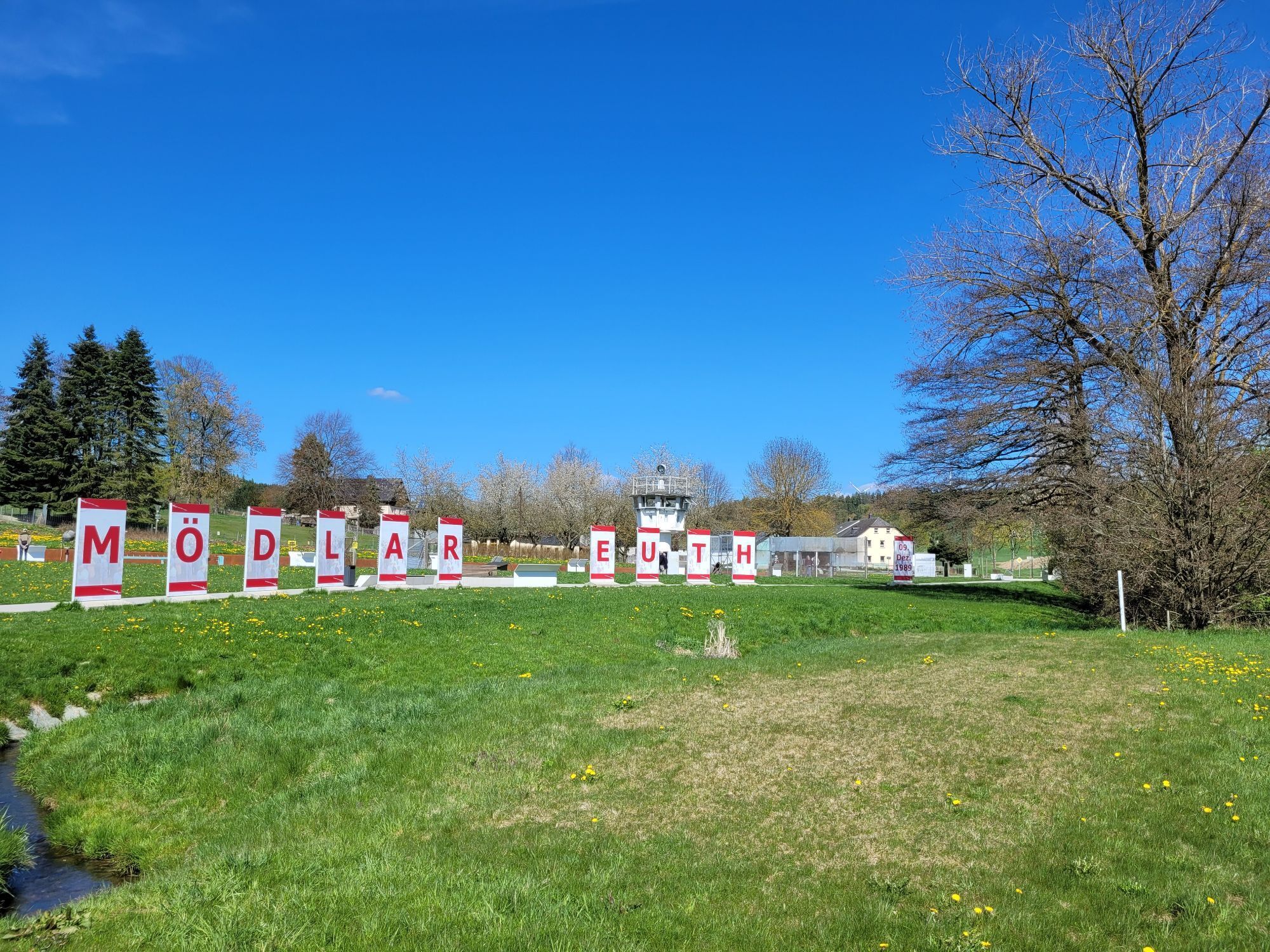
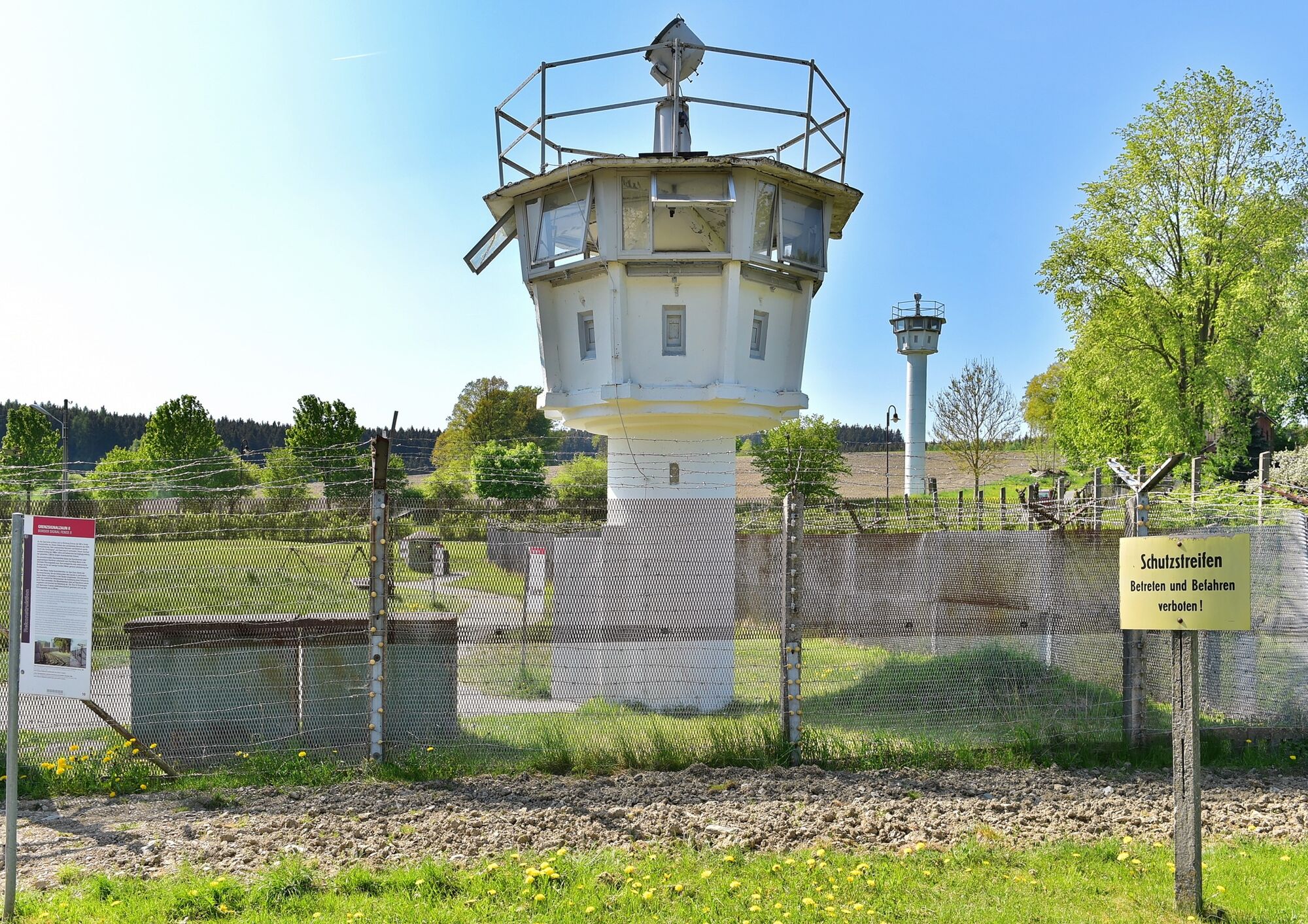
The first stop on the first stage is the German-German Museum in Mödlareuth. The small village was once divided by the Tannenbach; today it is an open-air museum and memorial at the same time.
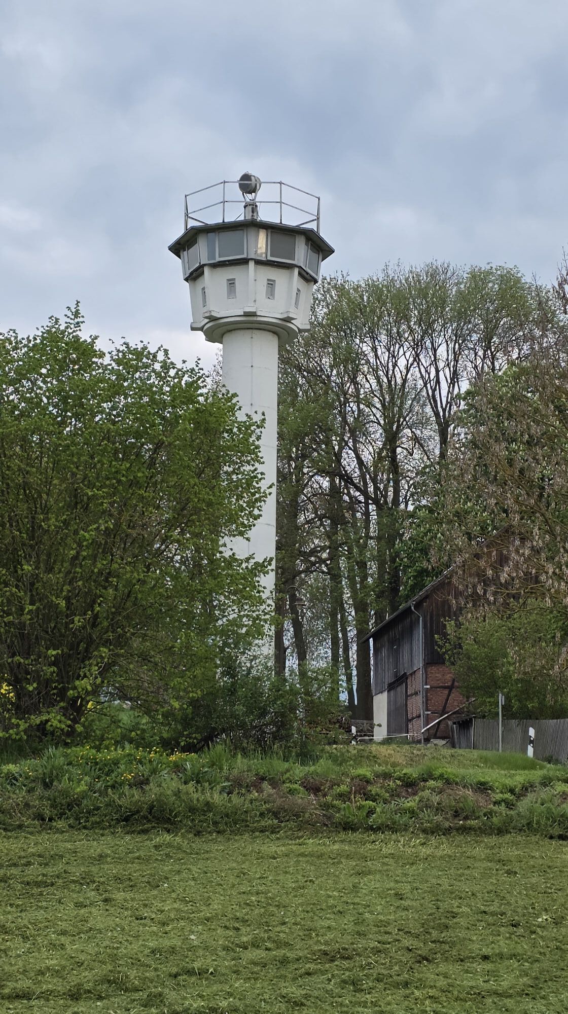
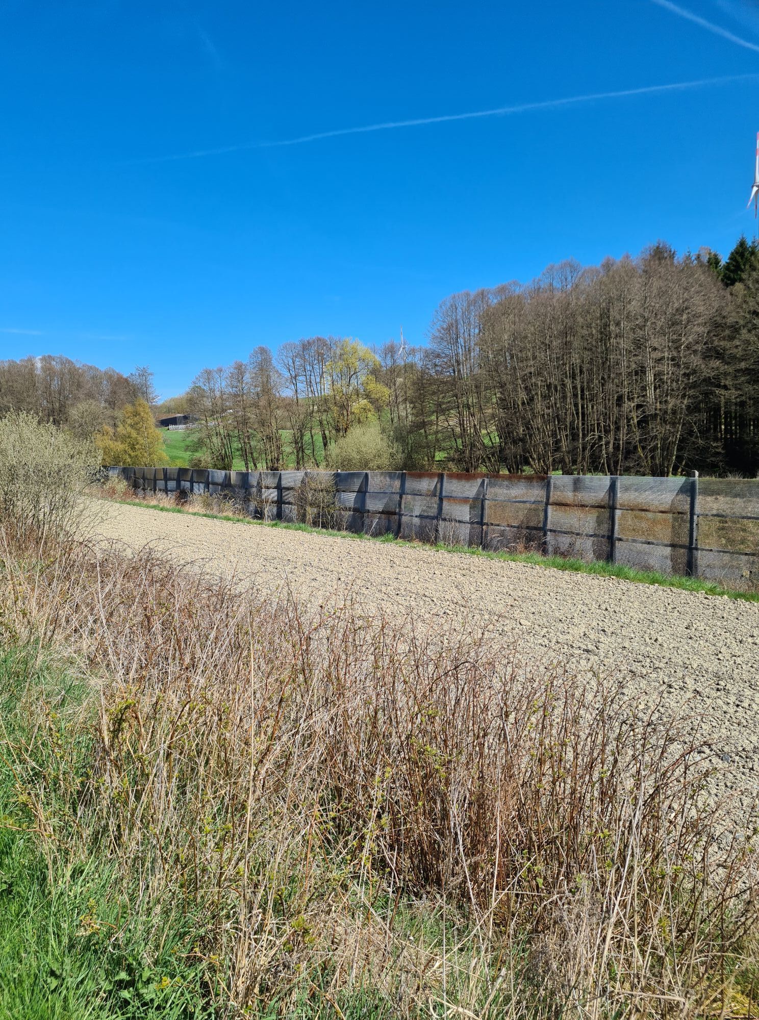
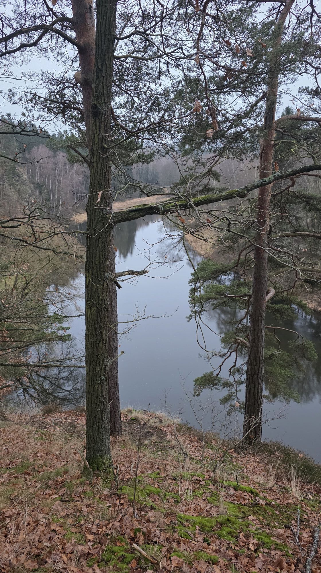
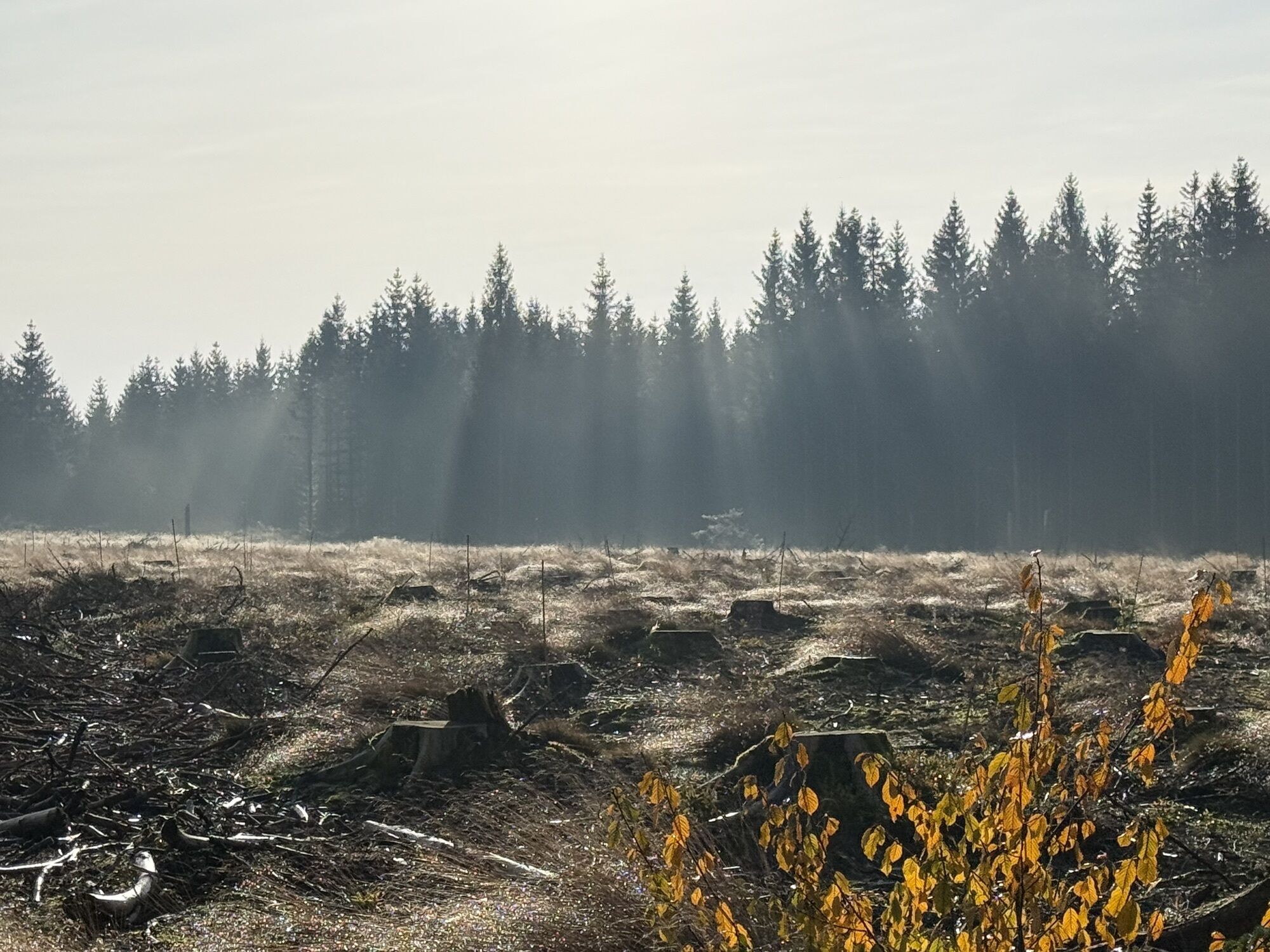
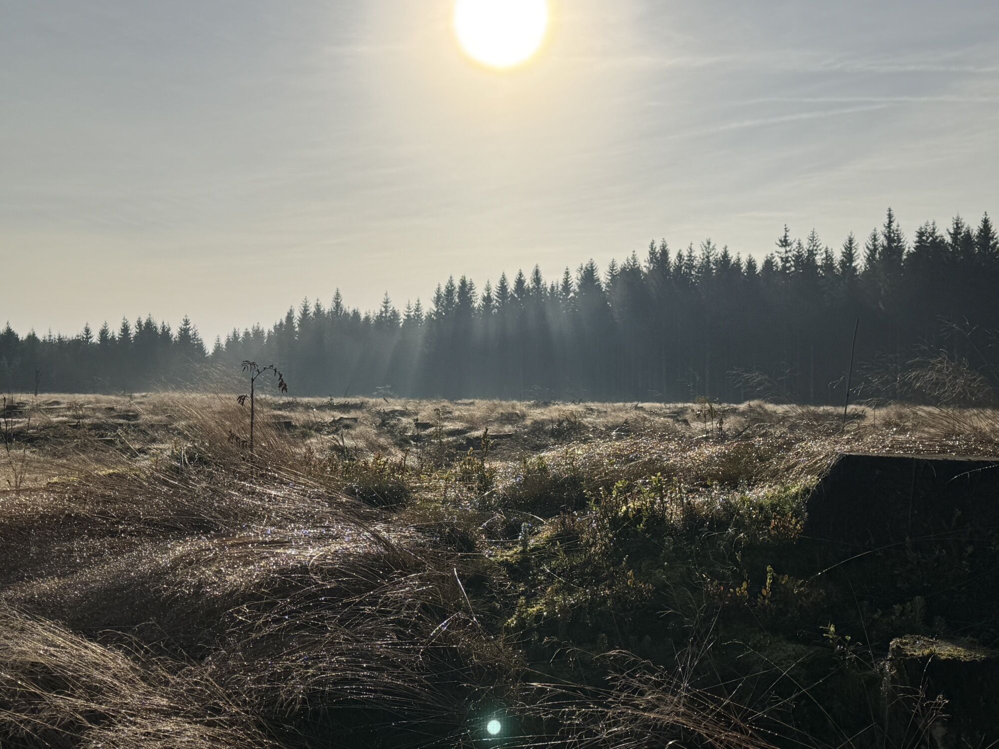
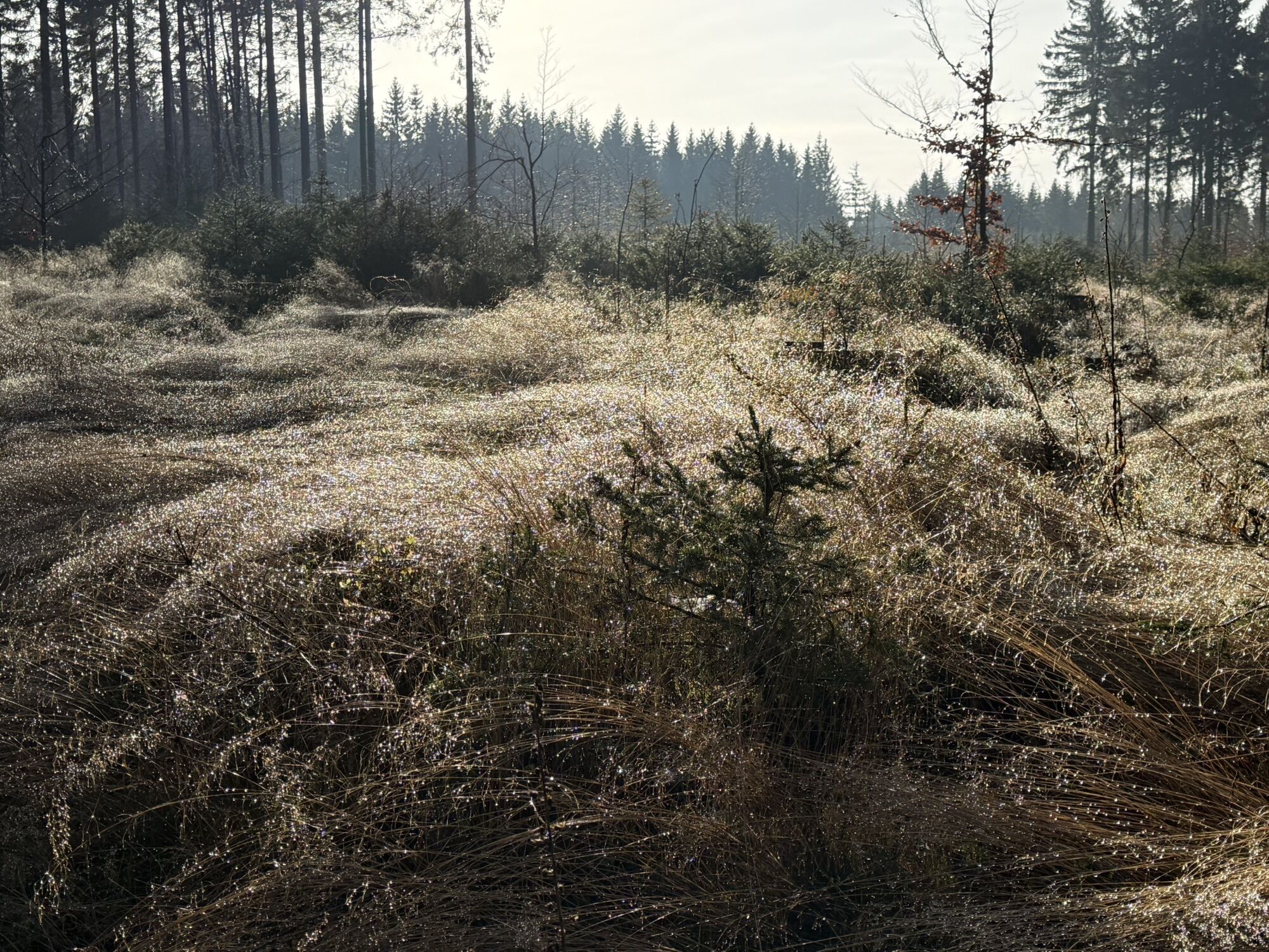
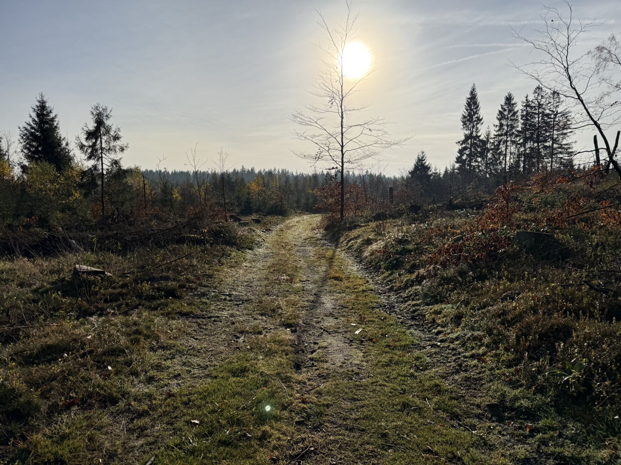
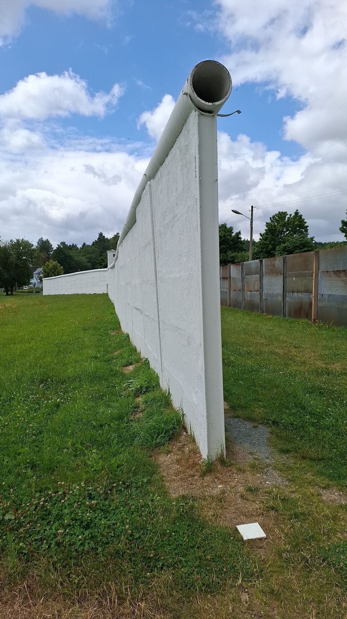
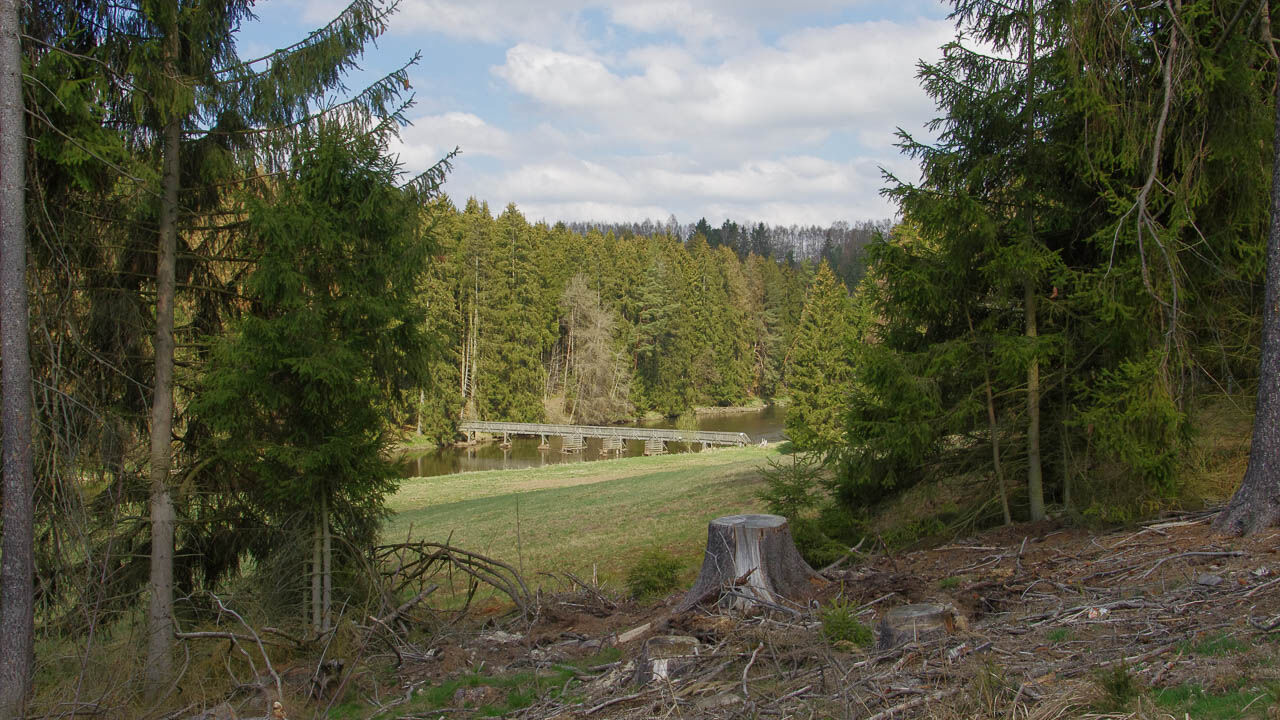
The hiking trail runs mostly away from civilization in the preserved floodplains and forests of the former border area and brings the hiker back to natural origins. On many sections, you experience the richness of species in flora and fauna up close.
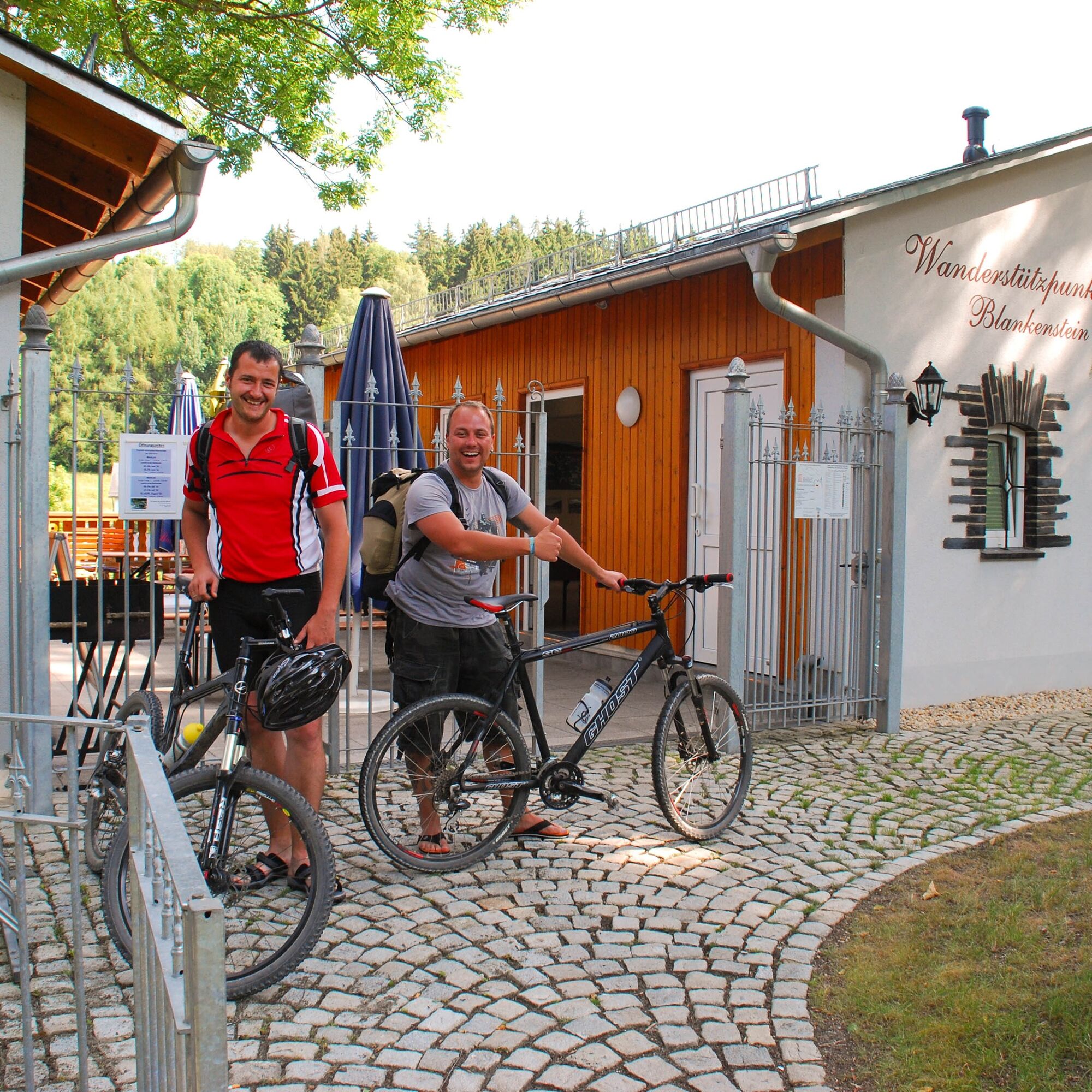
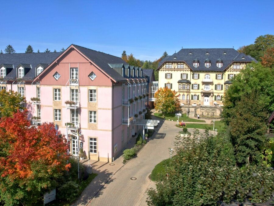
Along the Saxon Saale, you soon reach Hirschberg. The hiking trail briefly goes through the village, below the old castle, but quickly returns to the old patrol road. Passing under the Saale bridge, you pass through Sparnberg and Rudolphstein. Following the watercourse further, you soon reach Blankenstein, the gateway to the Rennsteig. Here Selbitz and Saale meet. Past the Franconian Forest nature park information center, it goes through dense forests and flat meadows again up to Krötenmühle. There used to be a small excursion restaurant. If you leave the Green Belt at Bad Steben here, you can plan an overnight stay in the middle of the route in this Franconian small town. The relax Hotel am Kurpark near the thermal spa is highly recommended.
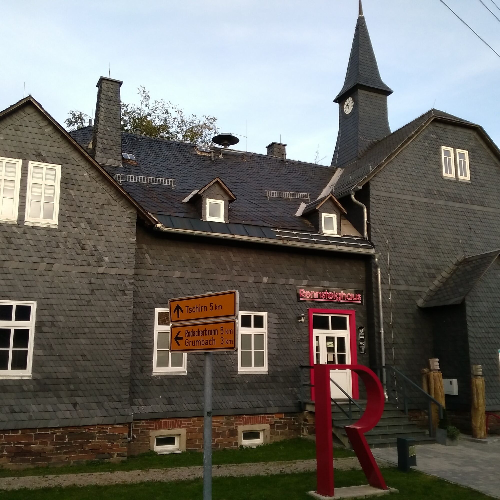
The second part of the first stage partially leaves the border route to connect a section of the Rennsteig. Shortly before the small village of Rodacherbrunn, you meet the "Thuringian." A stone's throw away lies Grumbach and the small Gasthaus zum Frankenwald. Typical home cooking and friendly service make it a recommended place to stop for lunch.
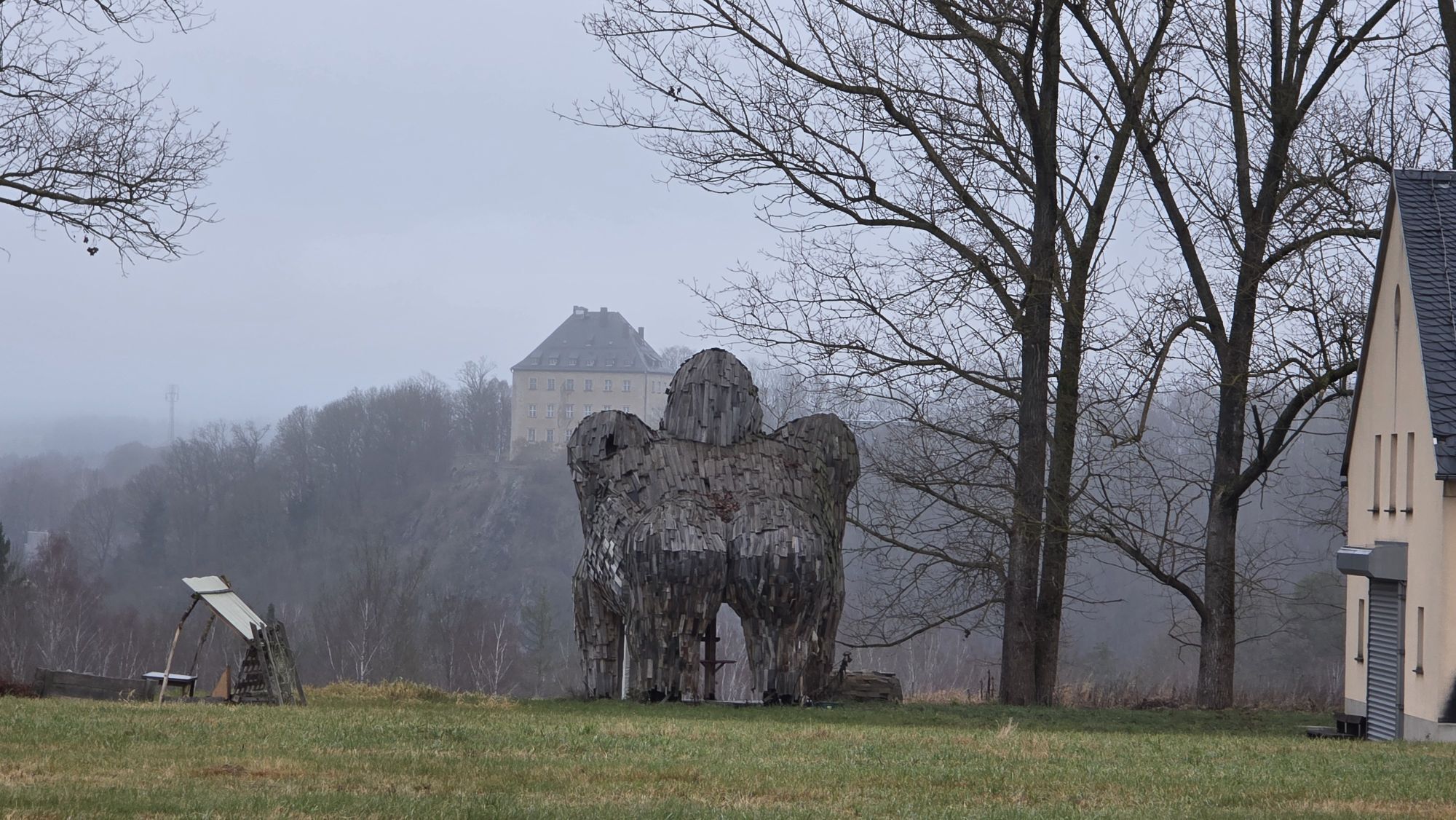
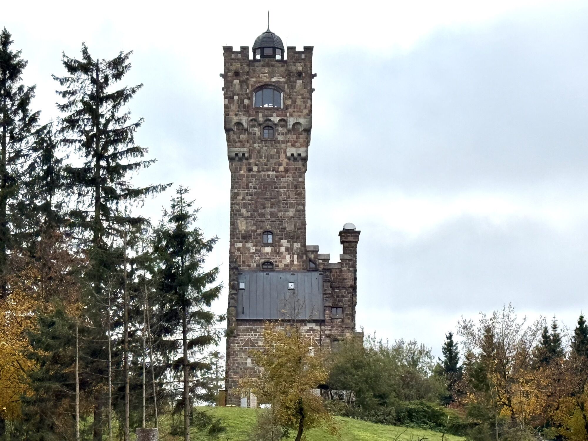
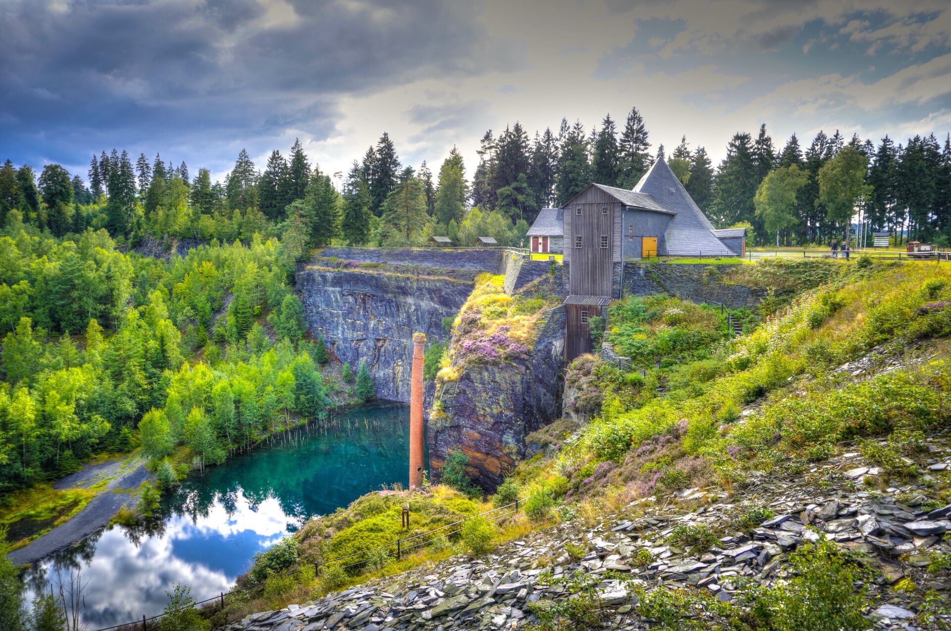
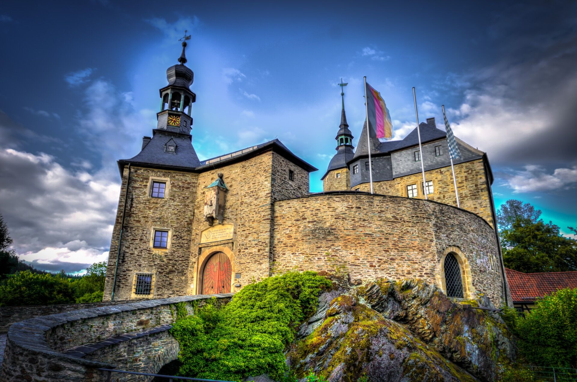
Passing through Brennersgrün and past the Wetzstein with the Old Father Tower, you soon arrive in Lehesten at the technical monument "Historical Slate Mining" at Staatsbruch. You continue along the Luther trail through the village and past the roofer school until you meet again the border route between Thuringia and Bavaria at Rehbachhalde. Around Steinbach an der Halde, it is not far to Lauenstein Castle.
Passing Villa Falkenstein and Fischbachsmühle, you cross the former ICE connection line Jena-Nuremberg. Shortly thereafter, the destination, the mighty Lauenstein Castle, is reached. Directly below is the inn "Zum Goldnene Löwen".


Drei-Freistaaten-Stein - Gebersreuth - Mödlareuth - Hirschberg - Sparnberg - Rudolphstein - Pottiga - Blankenberg - Blankenstein - Bad Steben - Rodacherbrunn - Grumbach - Brennersgrün - Wetzstein - Lehesten - Lauenstein / Ludwigsstadt
Tak
sturdy footwear
rainwear
drink supply (the Green Belt includes long sections without dining options)
first aid kit
GPS navigation device or smartphone
The entire Green Belt and the adjacent nature parks are special protected areas - behave considerately towards nature and the historical past.
Please also pay attention to fenced-off areas and always stay on the marked hiking trails.
Coming from the A72 take exit 3 (Hof / Töpen) and continue on B2 towards Gefell until Töpen. In the village turn right onto Tiefendorfer Straße. Drive past Obertiefendorf and Münchenreuth to Grobau. Here is the train stop for the return trip.
The Drei-Freistaaten-Stein is located near the town of Grobau. Here you can connect to the Vogtlandbahn. Please use the following link for travel planning with the Deutsche Bahn travel planner:
Arrival at Grobau
Simply enter your starting point and desired travel period in the input mask that opens.
From Lauenstein back to Grobau:
Lauenstein Castle is located near Ludwigsstadt (travel time approx. 45 min). There you have connections to the DB-Regio trains. Use this link to display a current return connection by public transport.
From Ludwigsstadt back to → Grobau
You can either park directly at Drei-Freistaaten-Stein (about 3 km walk from Grobau [Vogtlandbahn connection]) → Google NAV point
or
park in the Grobau village area. → Google NAV point
Divide the first stage into two sections and for example plan an overnight stay in Bad Steben.
Popularne wycieczki w okolicy
-
4,0
Höllental über Hirschsprung und unten wieder zurück
średniWędrówka 9,61 km -
5,0
Circular route around the "Slate Lake" - Lehesten - Thuringian Forest
światłoWędrówka 2,99 km -
5,0
Um die Ködeltalsperre
światłoWędrówka 12,2 km -
4,5
Hirschberg Primeval Forest Trail - Thuringian Primeval Forest Trails
światłoWędrówka 2,84 km -
Rund um Schloss Burgk
światłoWędrówka 7,04 km -
5,0
Saalepfad - Circular hike at the Green Belt
ciężkiWędrówka 34,8 km -
5,0
Circular route - Schönblickweg - Harra
średniWędrówka 7,80 km -
Hike - Rennsteig - Stage 8 - From Brennersgrün to Blankenstein
średniWędrówka 20,8 km -
4,0
Rund um die BleilochTalsperre - Saalburg Beach und zurück
średniE-MTB 20,1 km -
Roßkunst Geopath - Harra
średniWędrówka 6,23 km
Wędrówki i tropienie


Nie przegap ofert i inspiracji na następne wakacje
Twój adres e-mail została dodana do listy mailingowej.