







Bibra - direction Kätzerode - Grabfeld - small circular route

Marking: 2 on green square
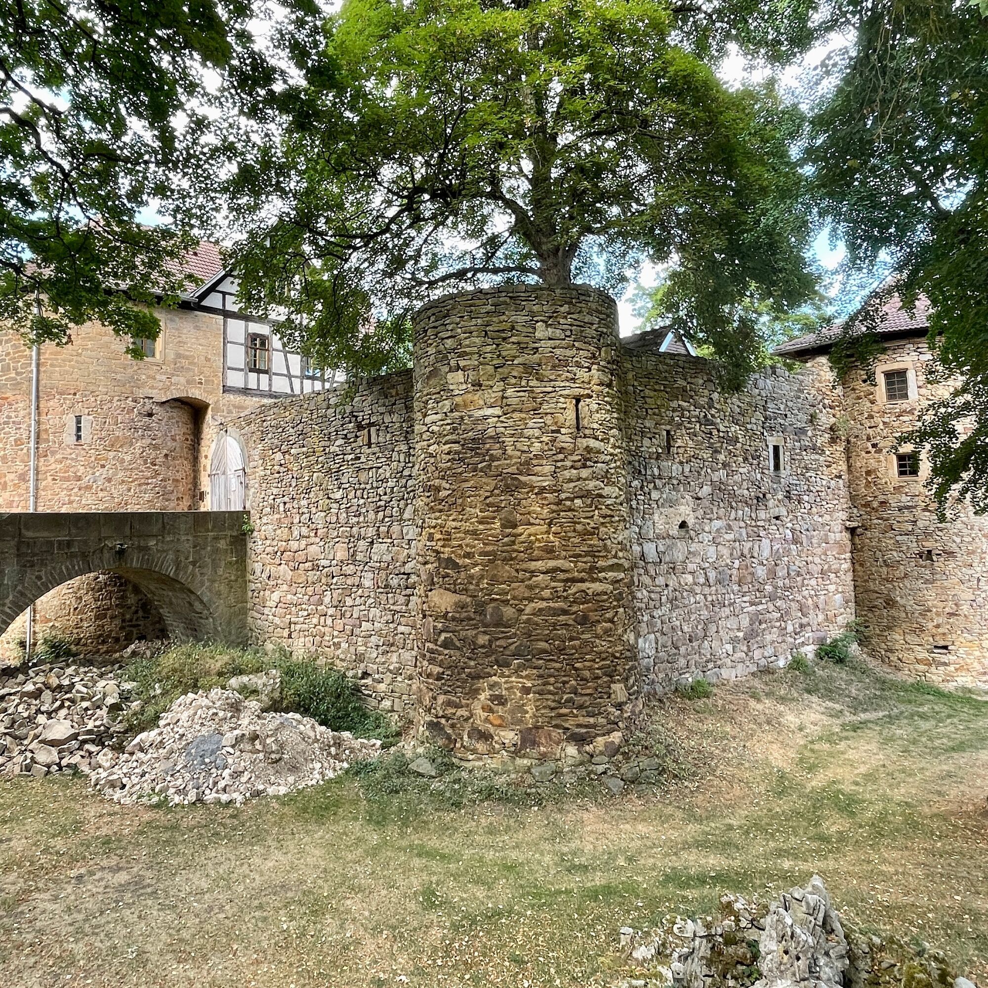
This hike takes you through the charming landscape of the Grabfeld, past historical sights. You start at Bibra Castle, a former knight's estate with an impressive castle complex....
Marking: 2 on green square
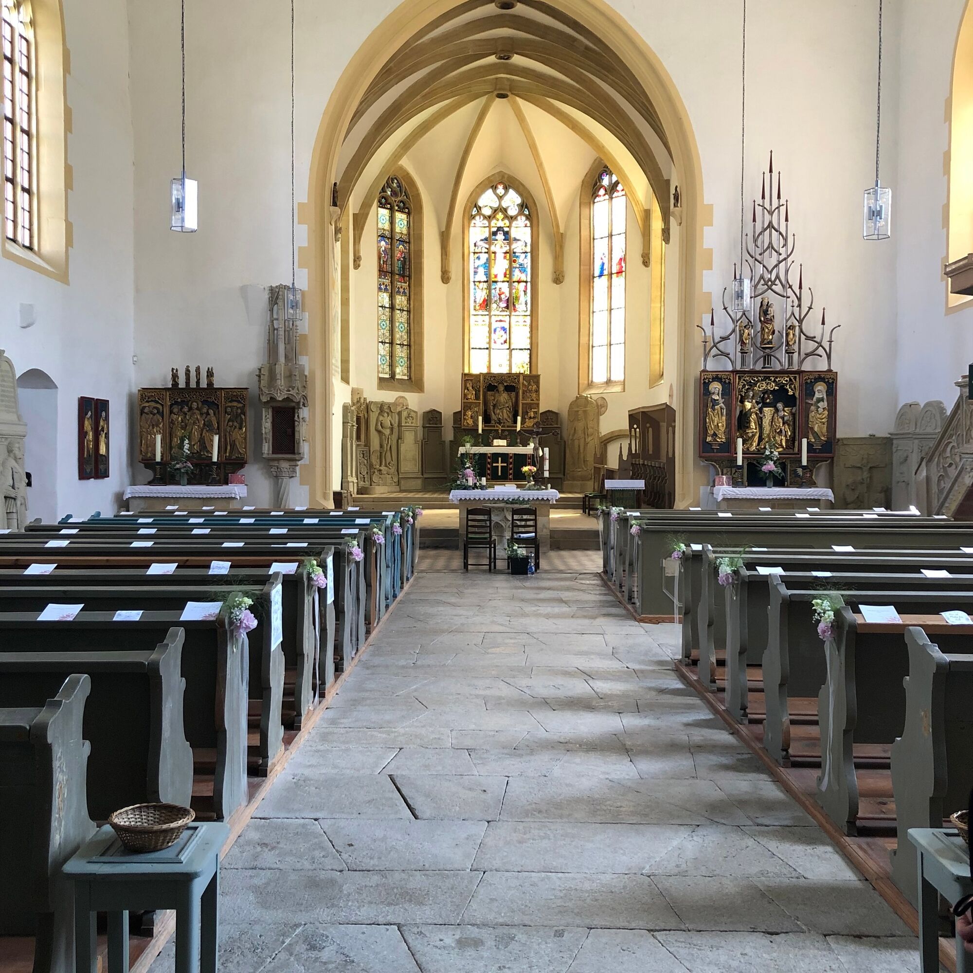
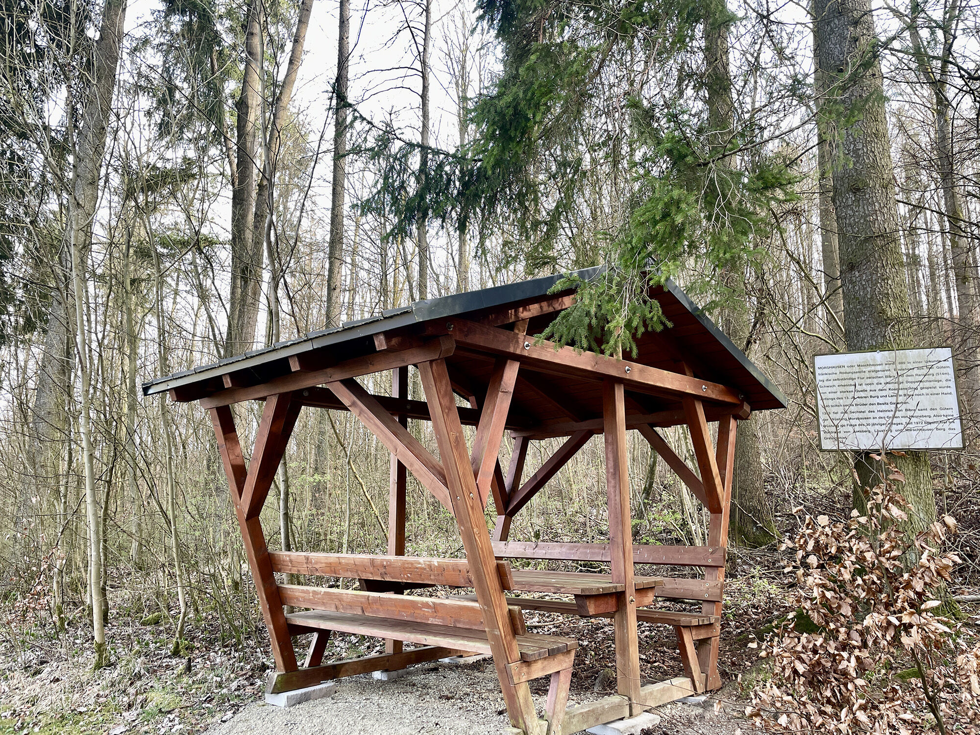
This hike takes you through the charming landscape of the Grabfeld, past historical sights. You start at Bibra Castle, a former knight's estate with an impressive castle complex. Then turn left before St. Leo Church, which features old Riemenschneider altars inside. From there follow the path towards Kätzerode. Along the way, you can enjoy views of the surrounding fields and forests and take a pleasant break at the Marschhausen rest area.
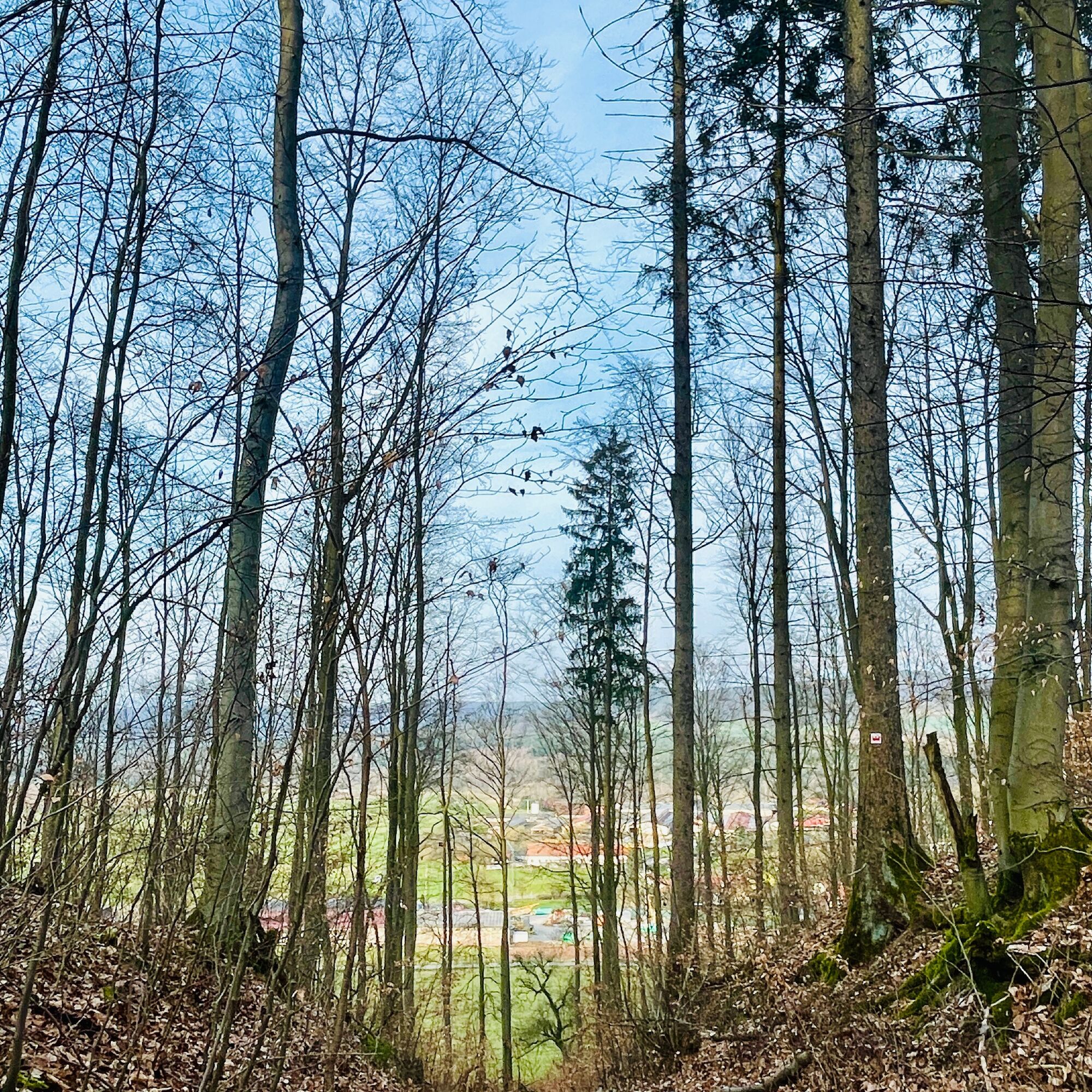
Now you hike through the forest, past another seating area at the "Marschhäuserberg Kreuzung," which also serves as a rescue point. Then continue straight ahead and over the meadow "Arnsberg Weg," where you have a nice view of the valley. At the end of the path, you return to Bibra, where you can end your route.
This route is about 4.5 km long and suitable for all hiking enthusiasts who want to experience a varied and relaxing hike. The paths are well marked and signposted, you just need to follow the green square with the number 2.

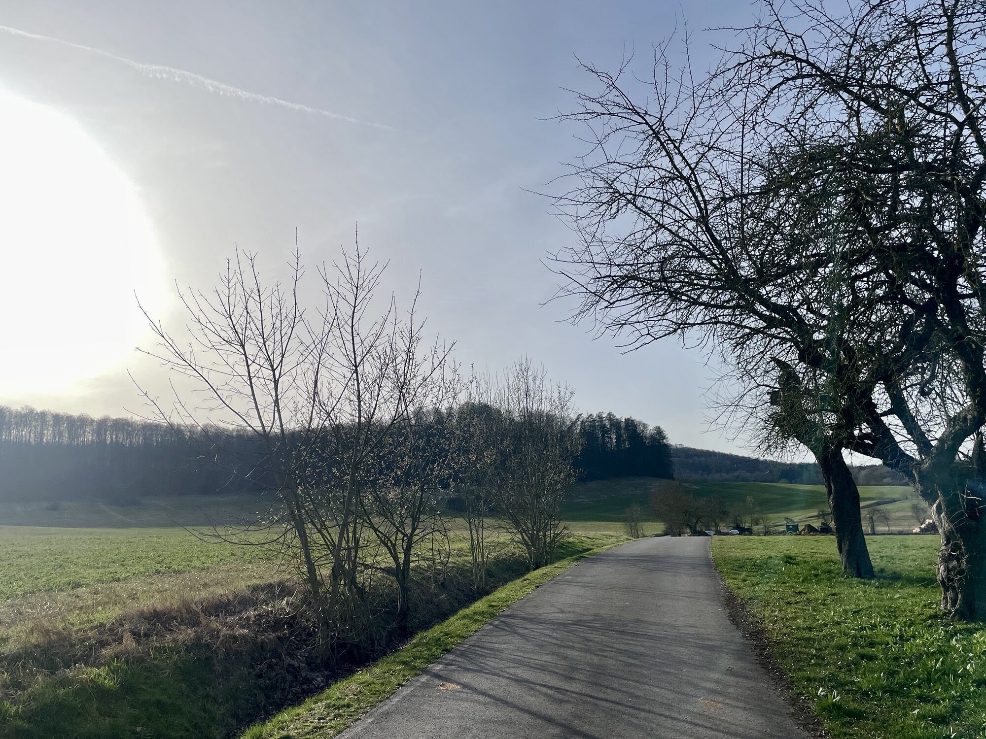
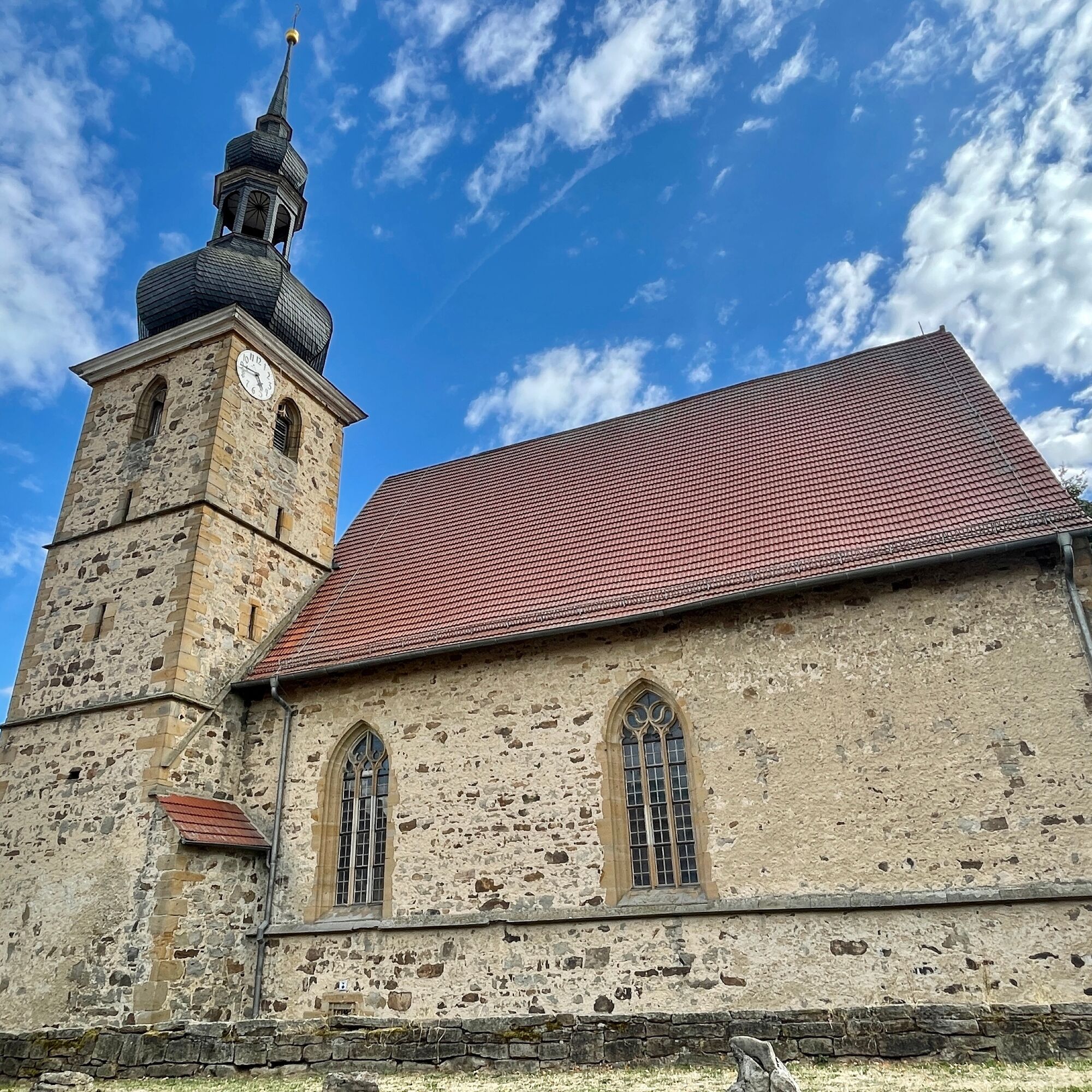
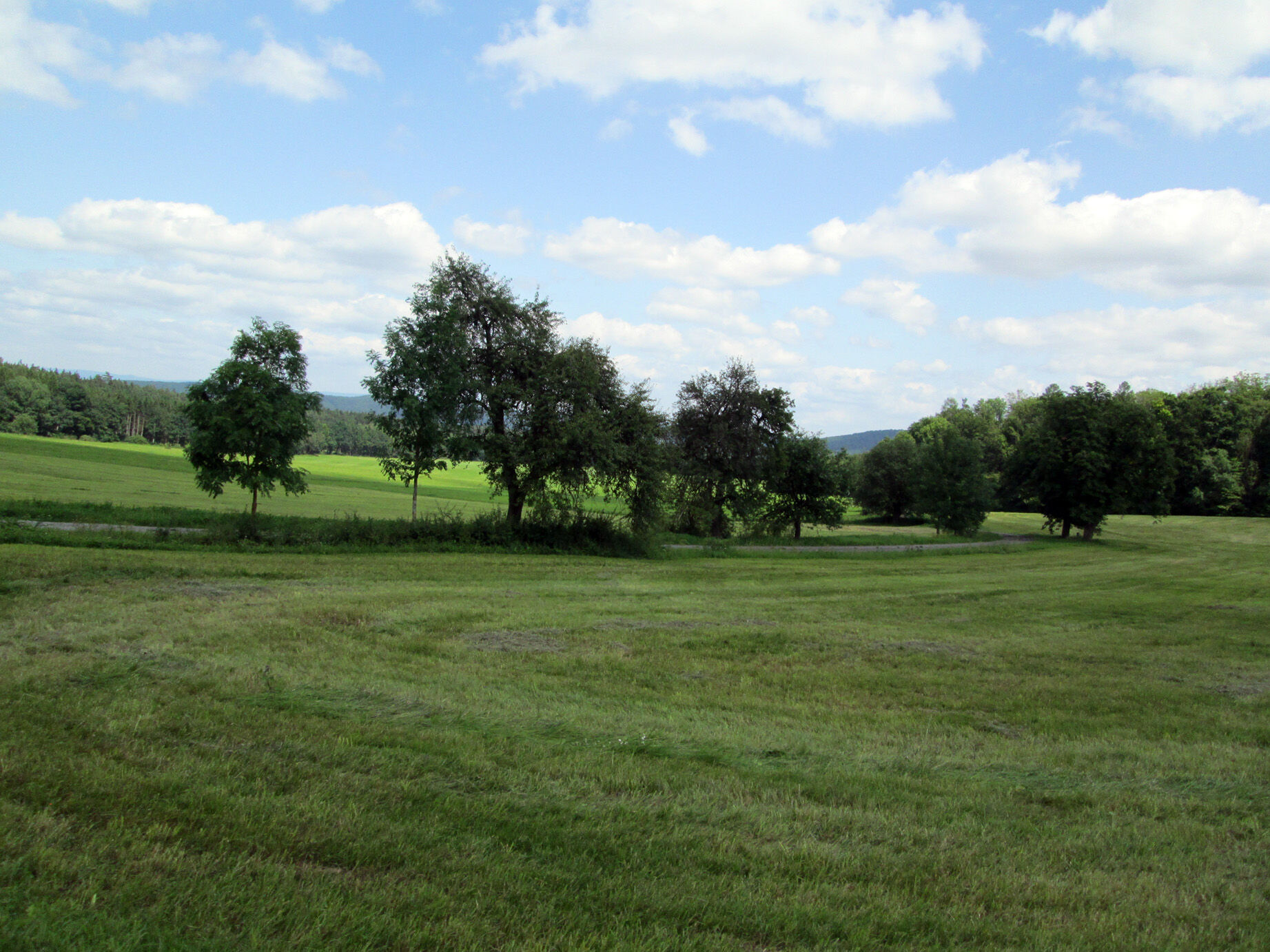
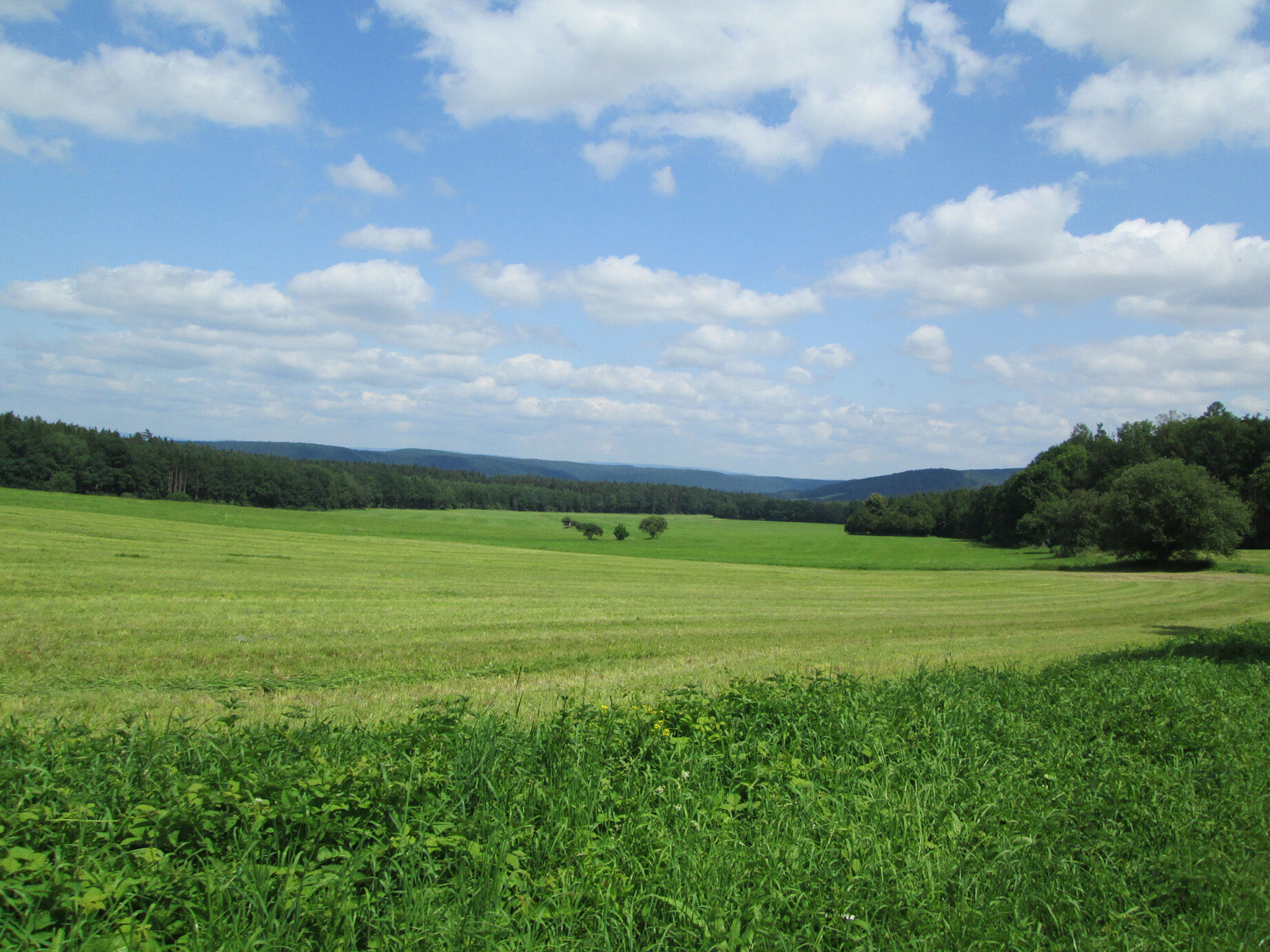

Start your hike at St. Leo Church and follow the path between the parsonage and church downhill towards the new development area. At the end of the village, an asphalted country lane leads to the cowsheds and grain silo. From there continue towards the forest.
At the forest edge turn left and follow along the forest edge. Go downhill towards Bibra (R) and pass Marschhausen, a former settlement with a covered rest area.
Climb uphill towards the "Schranke" on the natural path to the ridge height on the ridge path towards Bibra. Once at the top, turn left (S) past the "Ritterschlag" (T) and cross the meadow "Arnsberg Weg."
Tak
Sturdy footwear
Light backpack
Drinking water
First aid kit
GPS navigation device or smartphone
Be careful of crossing road traffic. Sections of the path are part of the community cycling network, so cyclists should be watched out for.
Take the A71 to exit 23 Rentwertshausen towards Rentwertshausen / Bibra.
Turn left in the middle of the village.
From Meiningen via Untermaßfeld on the L3089, at the "Zwick" intersection take the first exit to the right towards Ritschenhausen, Wölfershausen, Bibra.
Turn right in the middle of the village.
Bus line 406 of the Meininger Busbetriebs GmbH (MBB), the bus stop is located in the town center.
Please use the Deutsche Bahn travel planner at this link for trip planning and only enter your starting point and desired travel period:--> Arrival in Bibra
Parking is available on site (Google - NAV point)
Popularne wycieczki w okolicy
-
4,5
Circular hiking route - EXTRATOUR - The Meininger
średniWędrówka 10,8 km -
Euro Velo Route 13 Iron Curtain Trail
ciężkiKolarstwo długodystansowe 652,1 km -
5,0
Celtic circular trail - Vachdorf
światłoWędrówka 7,56 km -
5,0
"On the Celtic Experience Trail" - Vachdorf-Wachenbrunn - Hike
średniWędrówka 14,8 km -
"Nature Park Route Thuringian Forest" - From Hörschel to Saalfeld
średniMotorrad 466,4 km -
MDR Osterspaziergang 2026 Meiningen: Panoramatour über den Drachenberg
średniWędrówka 10,7 km -
MDR Osterspaziergang 2026 Meiningen: Panoramatour über Dreißigacker
ciężkiWędrówka 14,4 km -
Circular hike - Ring path Meiningen - Werra Valley
ciężkiWędrówka 23,4 km -
Hike - from Meiningen to the Bakunin Hut (Rohr)
światłoWędrówka 5,79 km -
Water hiking on the Werra
średniKajak / Canoe 22,7 km
Wędrówki i tropienie


Nie przegap ofert i inspiracji na następne wakacje
Twój adres e-mail została dodana do listy mailingowej.





