







Hike Oberhof - Rennsteig Train Station
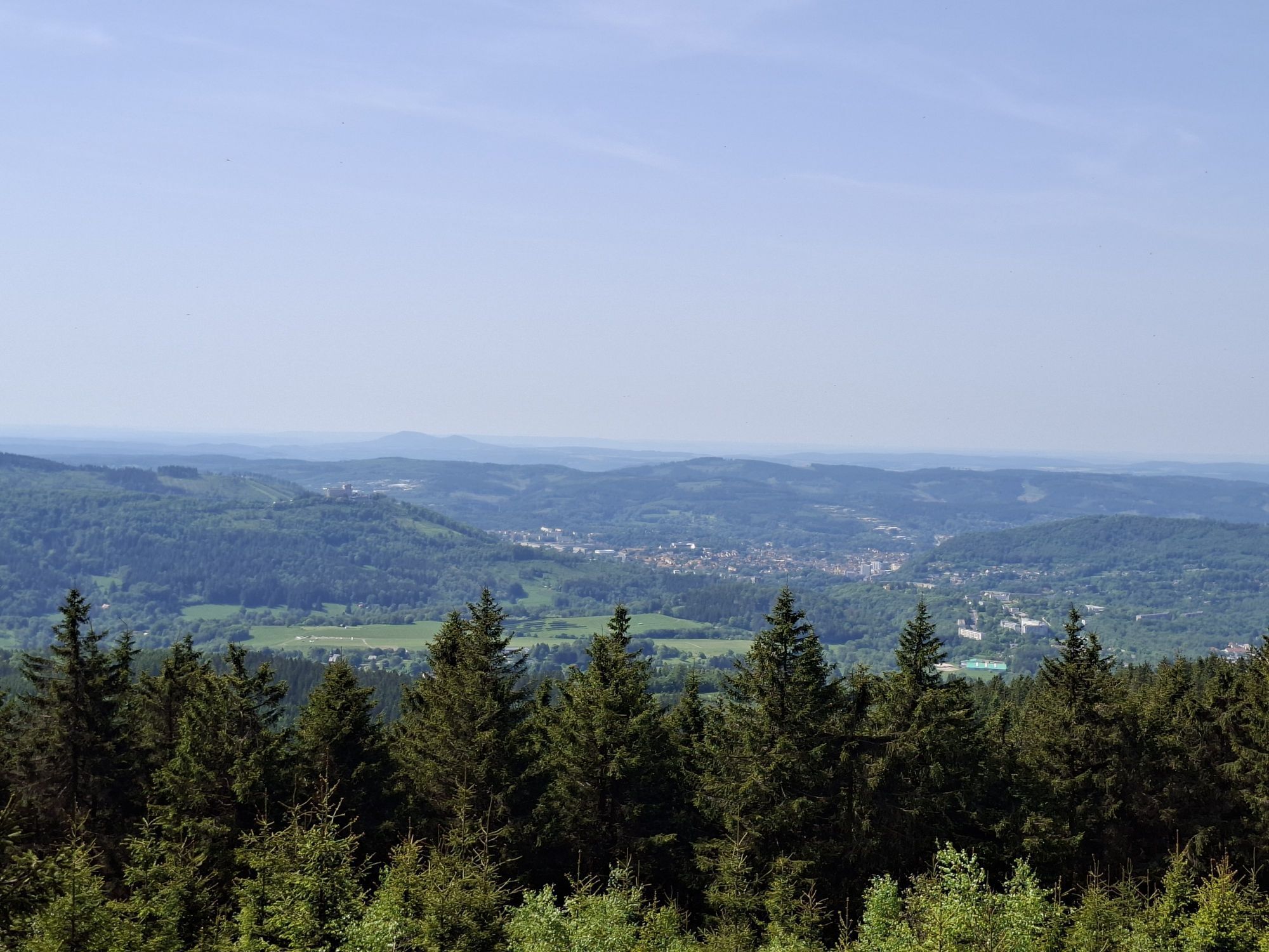
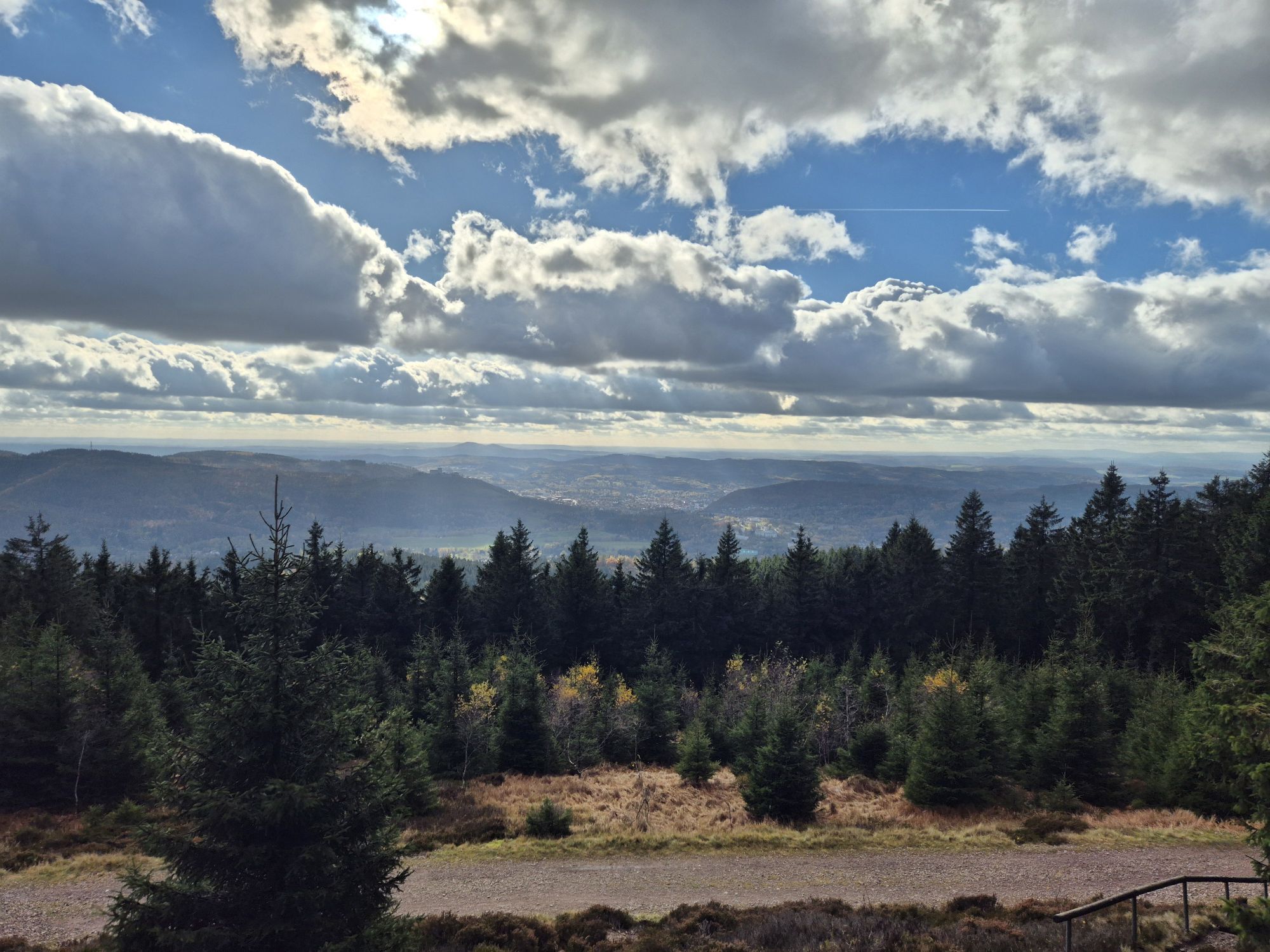
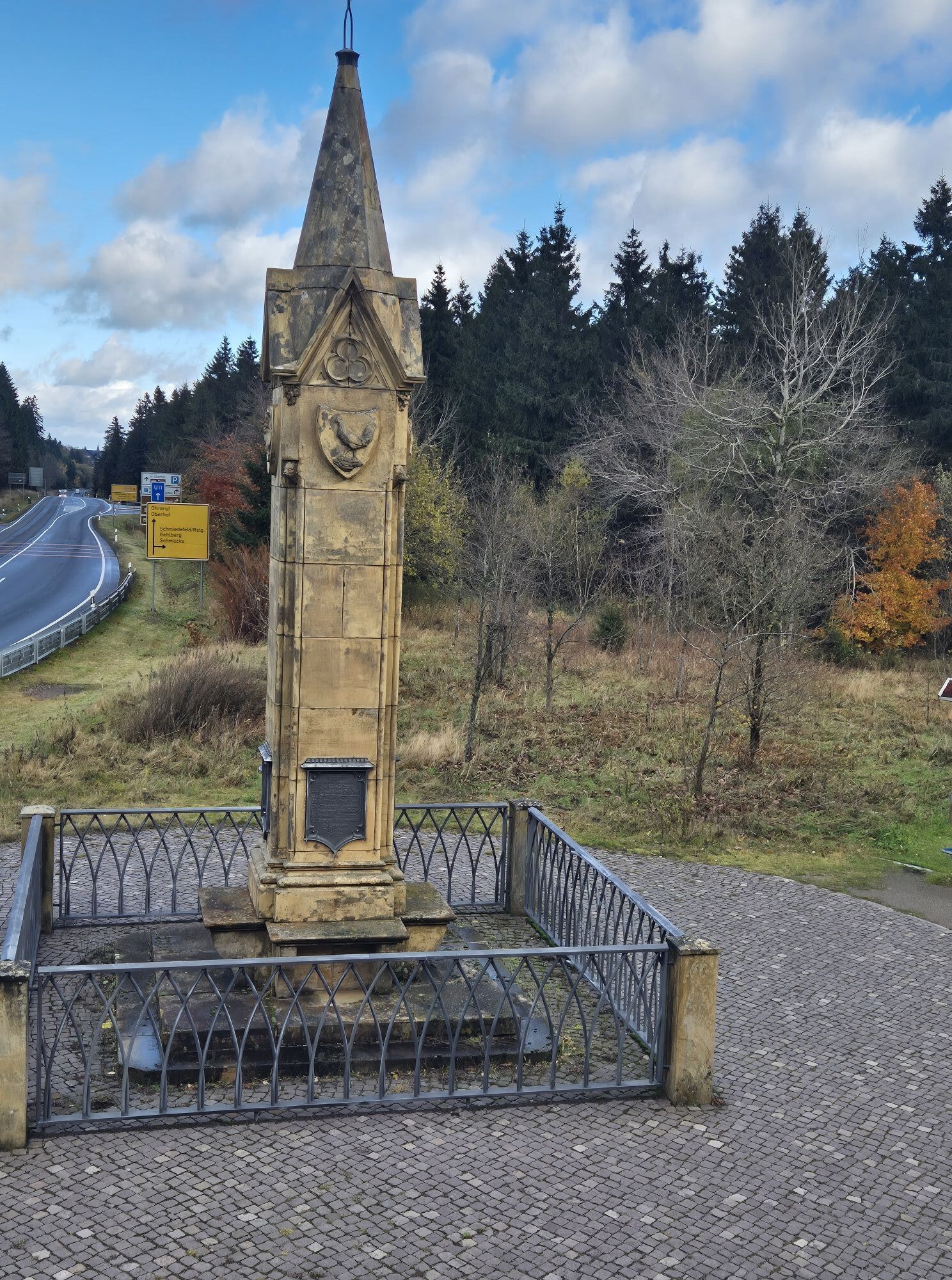
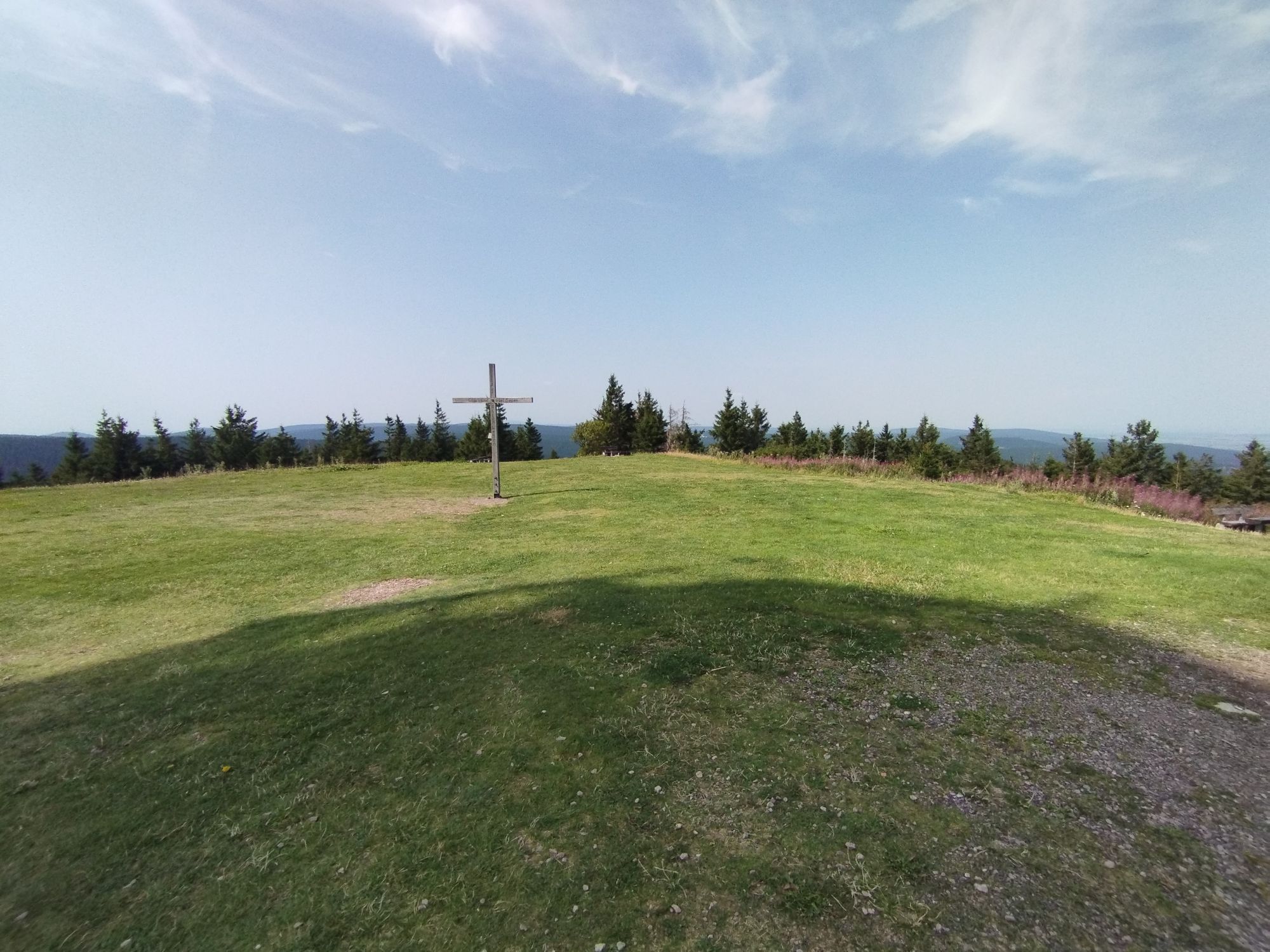

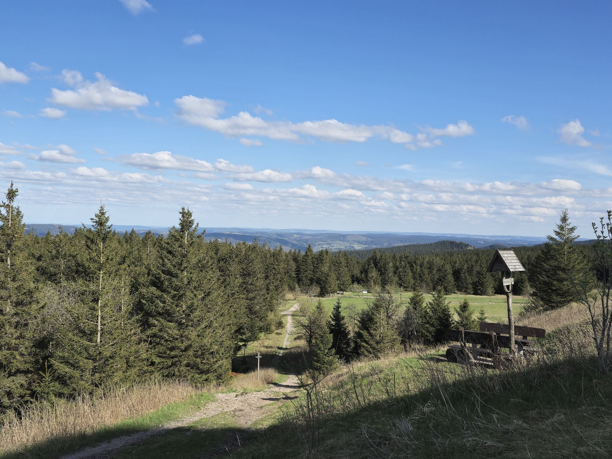
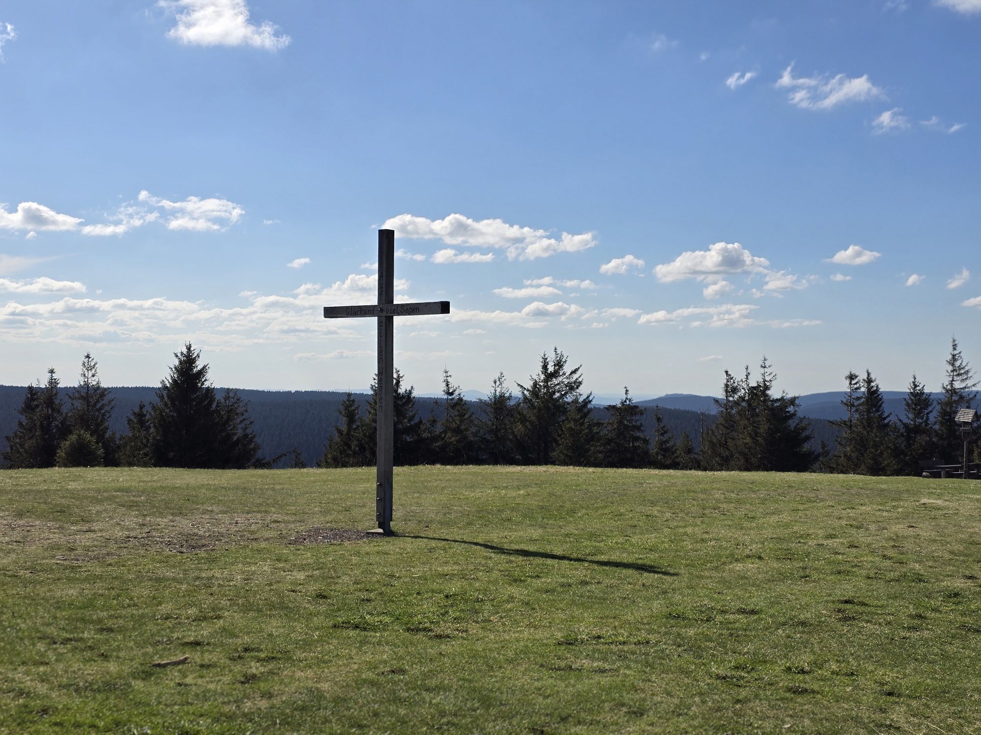
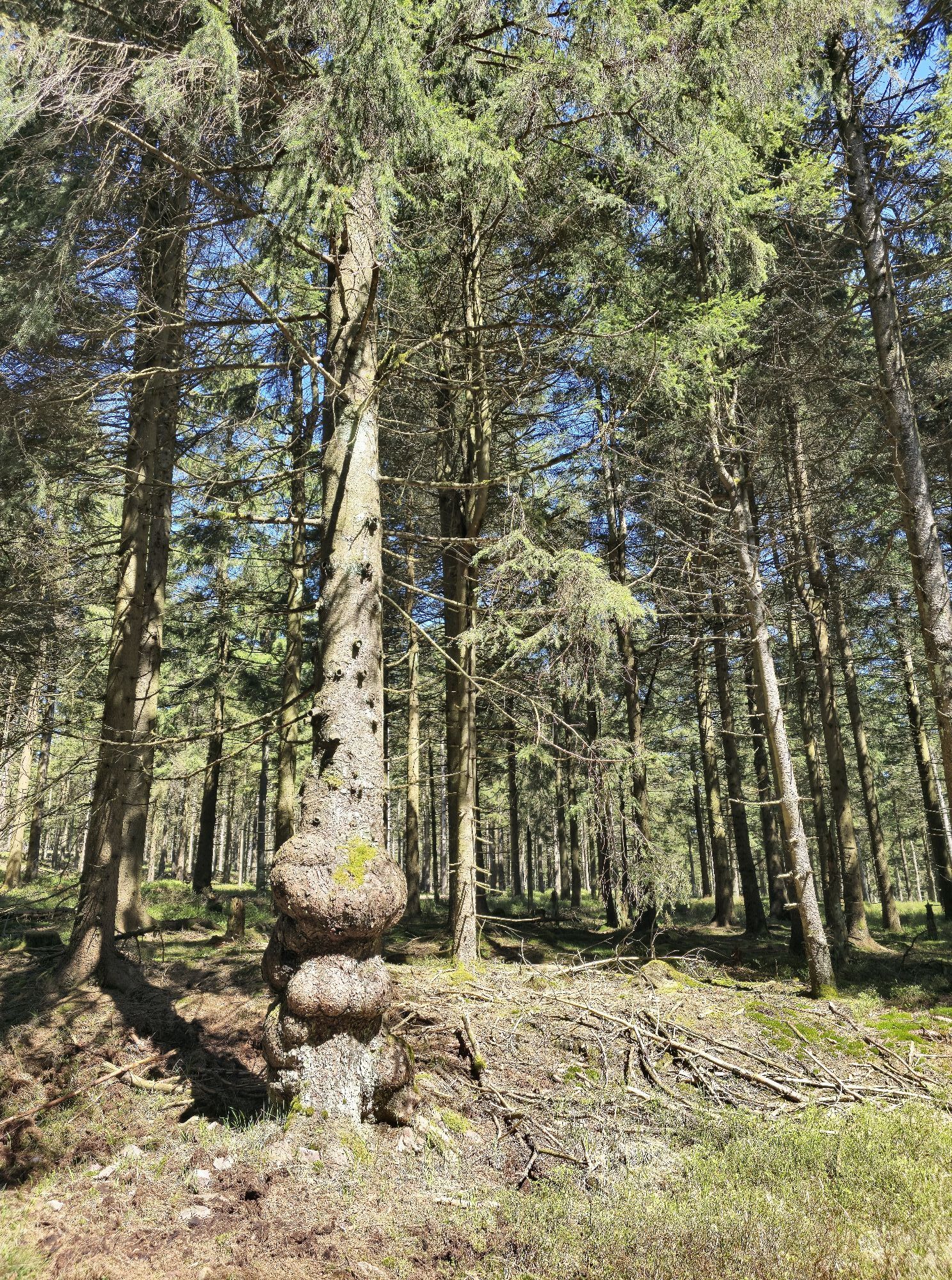
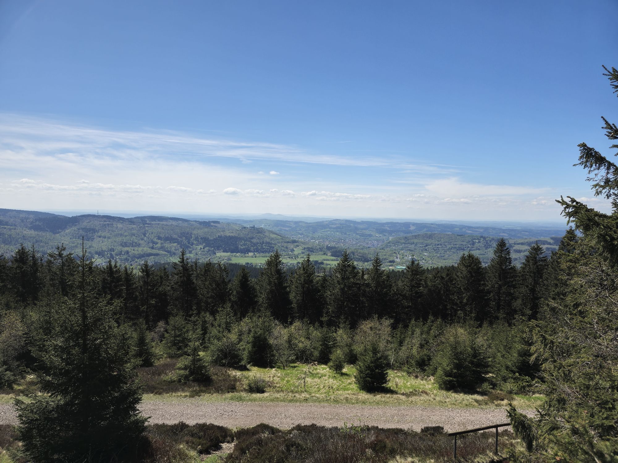
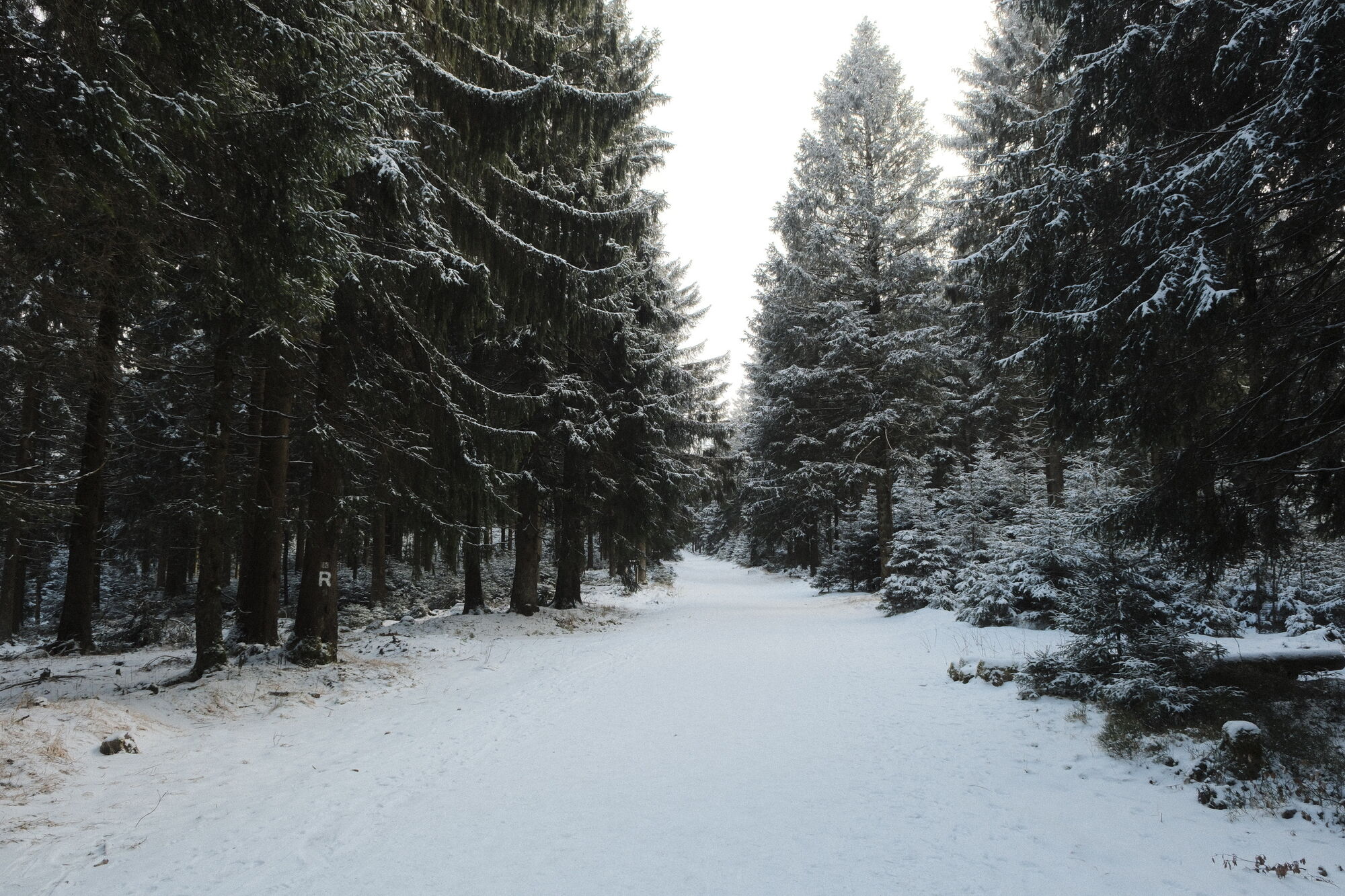
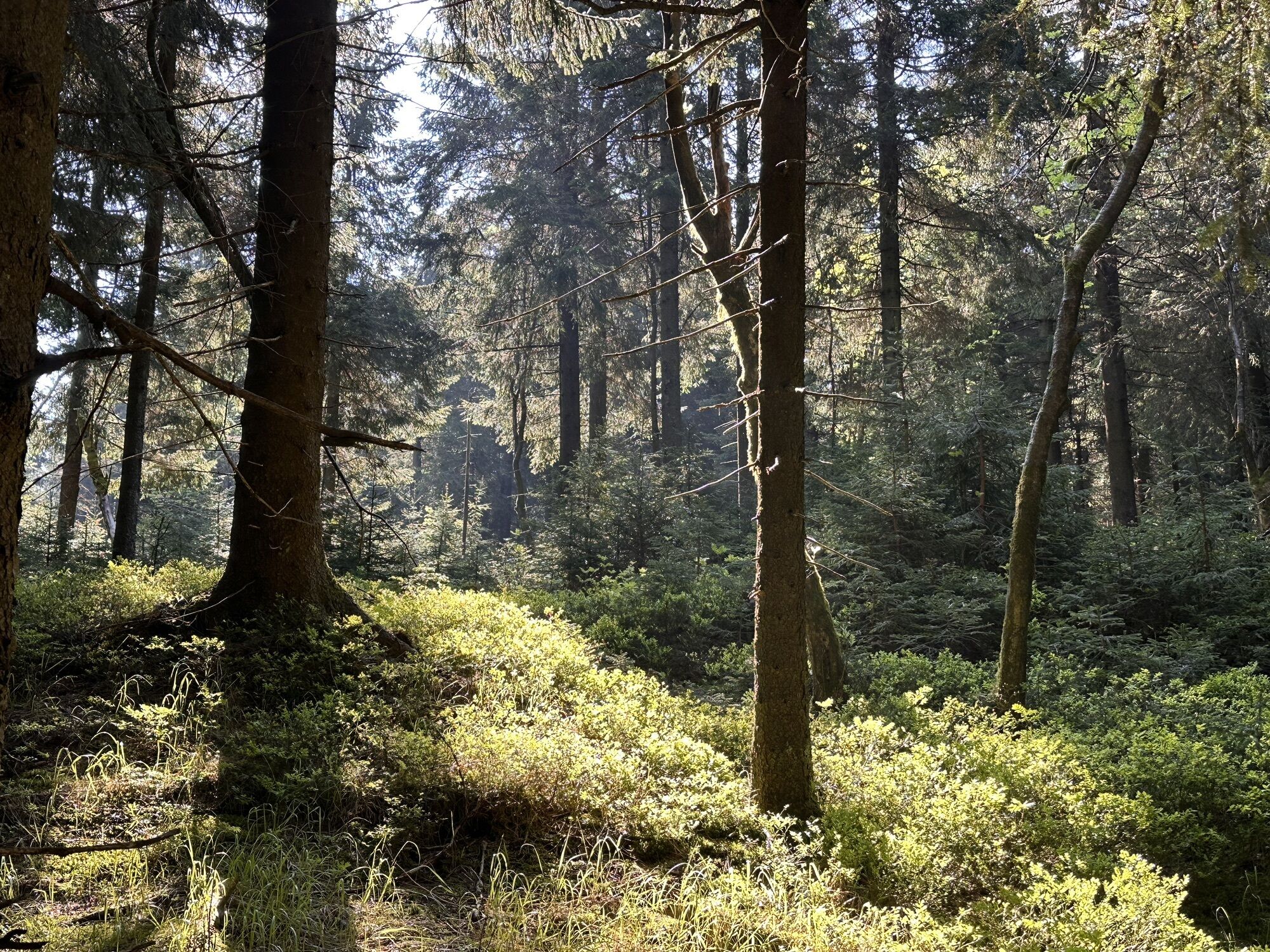
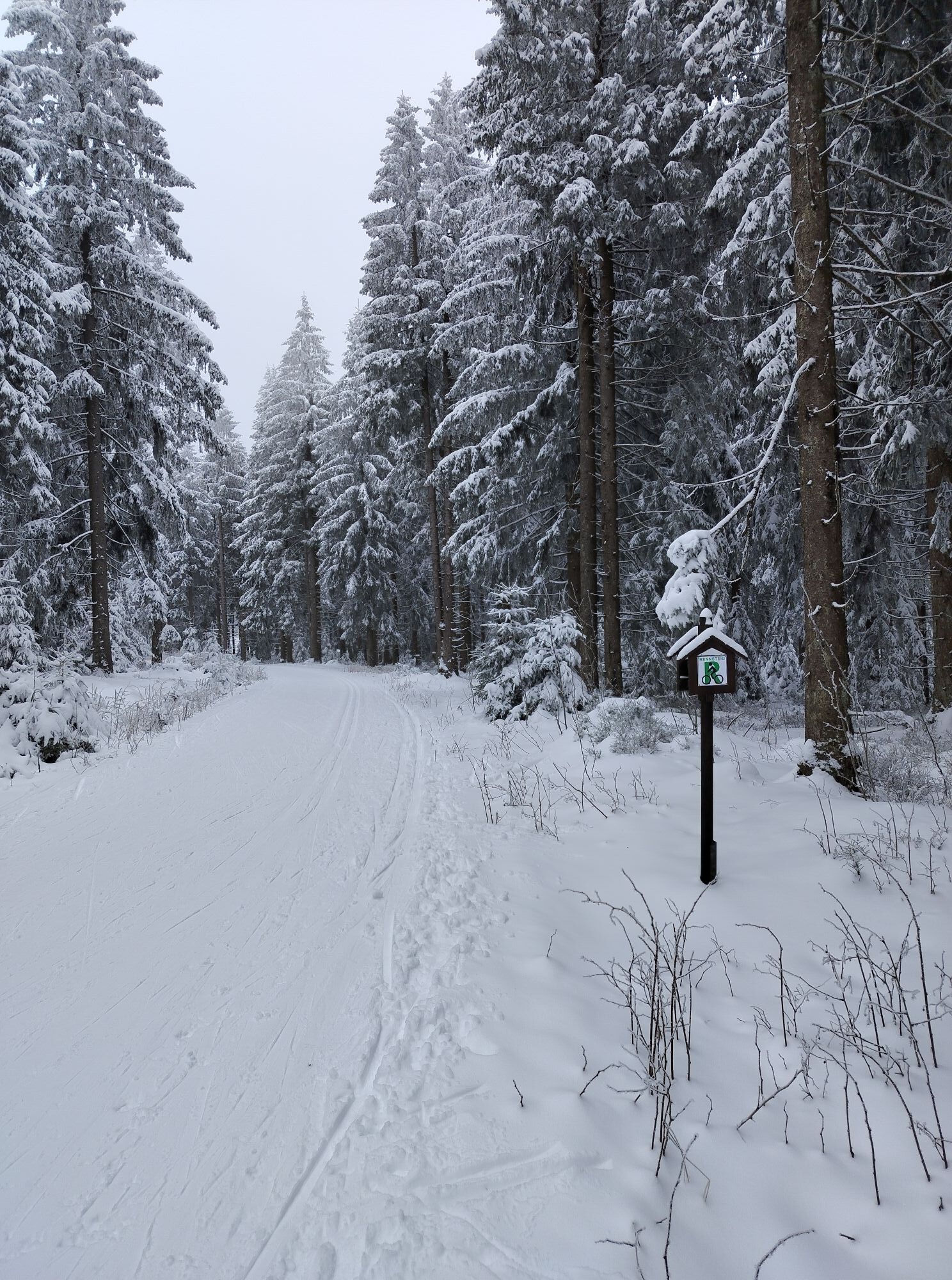
Start your hike at the Rondell in Oberhof.
From there follow the Rennsteig, which passes the Rennsteiggarten. The trail continues along the Rennsteig.
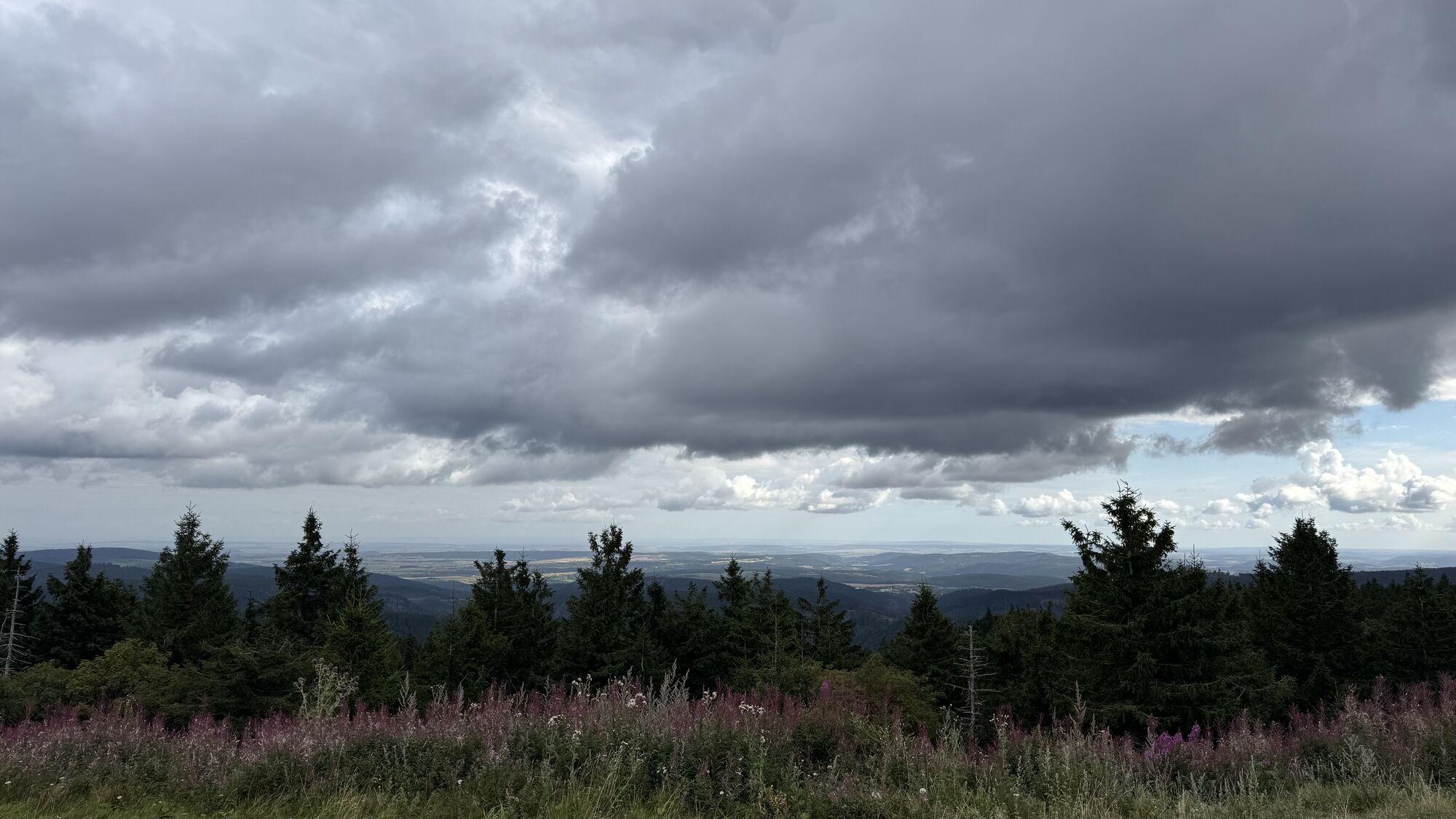
Your next destination on the hike is Plänkners viewpoint....
Start your hike at the Rondell in Oberhof.
From there follow the Rennsteig, which passes the Rennsteiggarten. The trail continues along the Rennsteig.
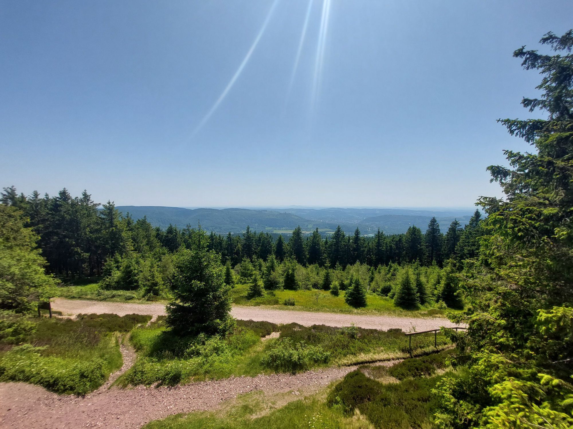
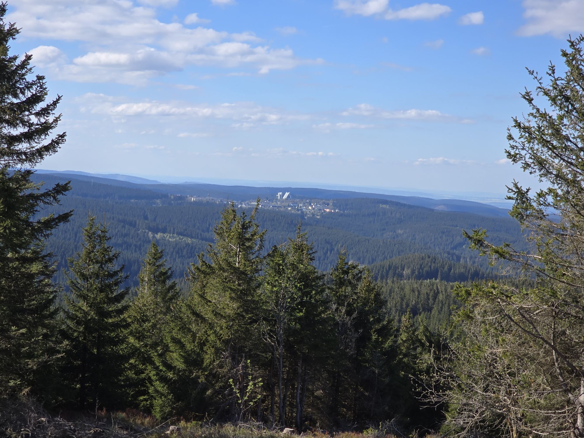
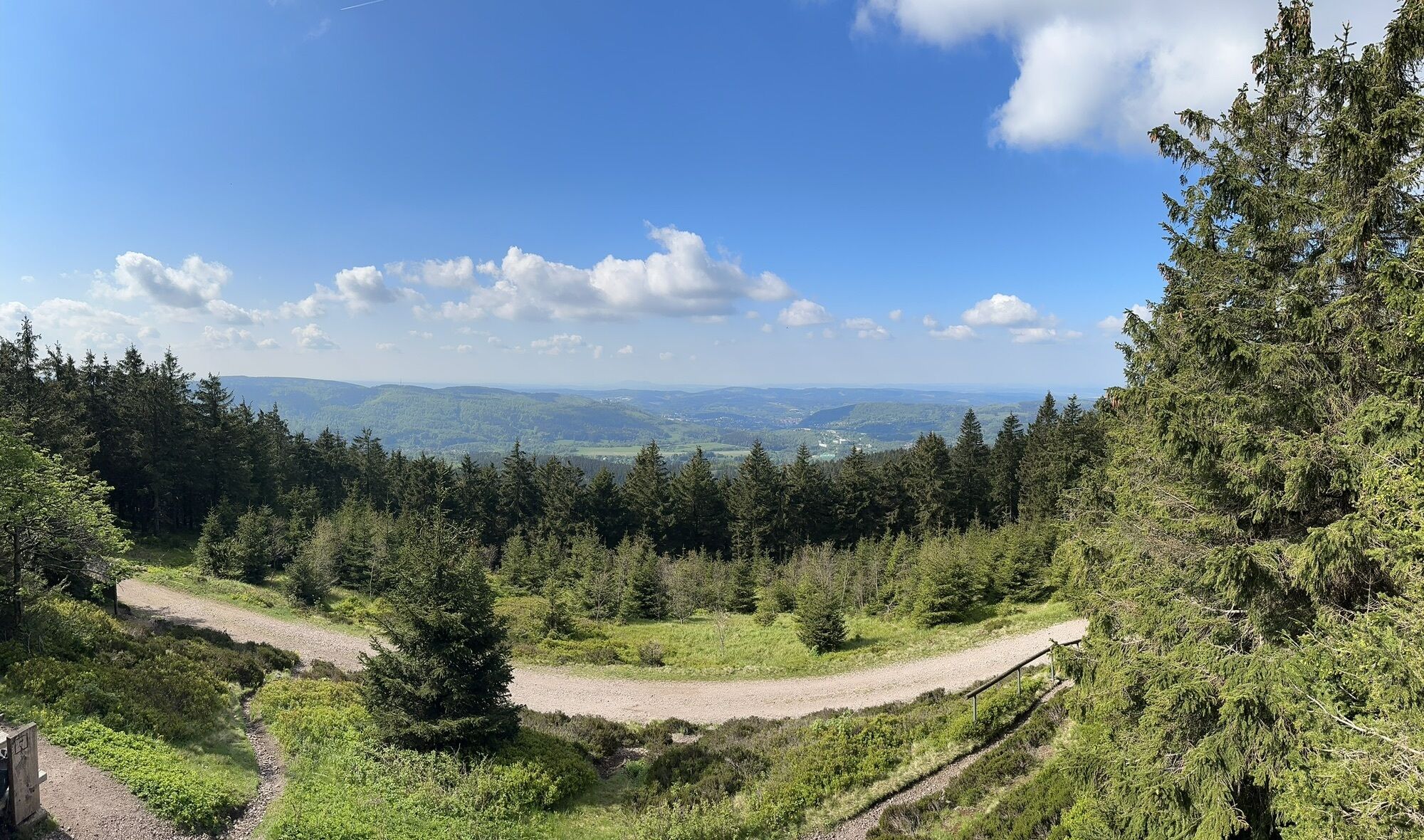
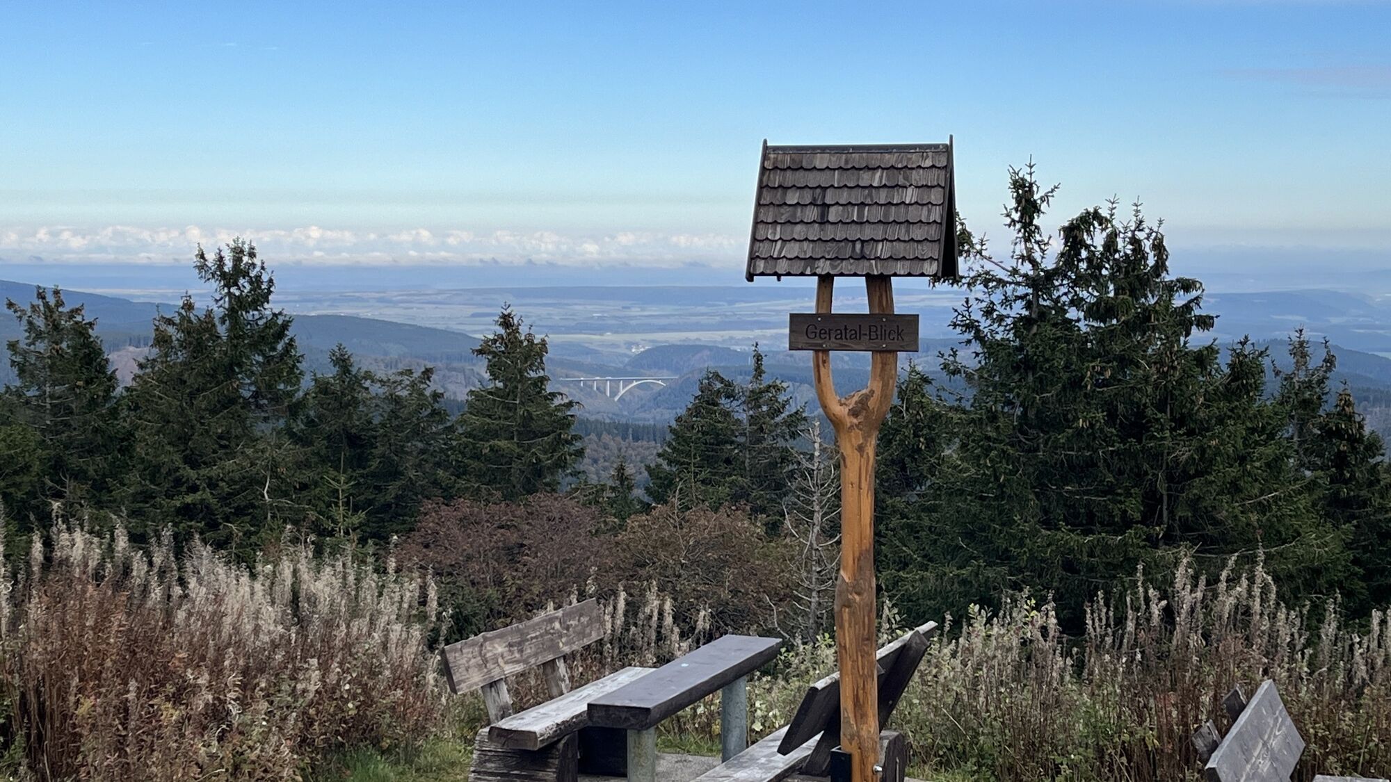
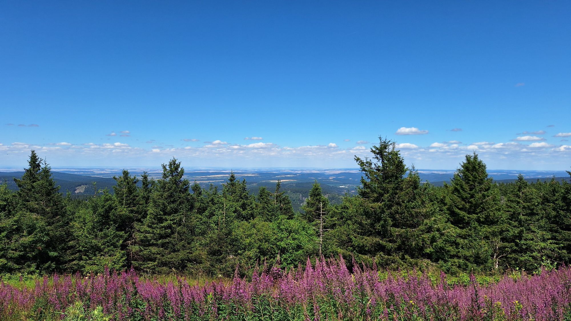
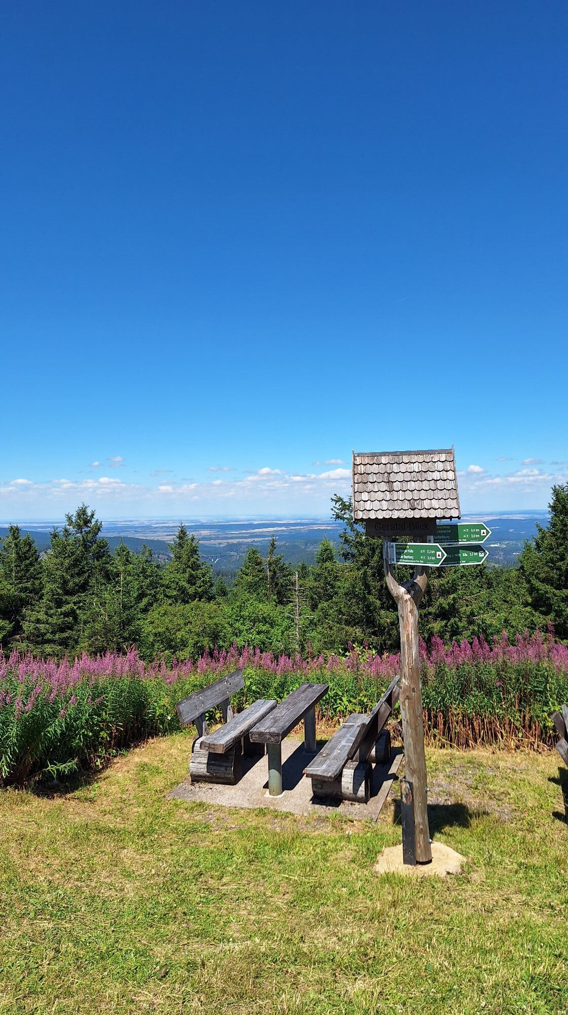
Your next destination on the hike is Plänkners viewpoint. Here you can take a break and enjoy the breathtaking view.
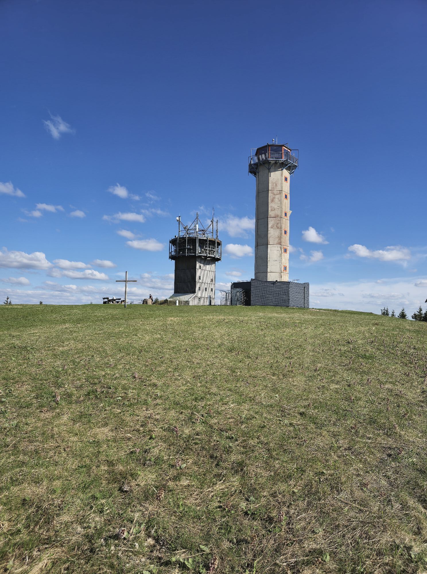
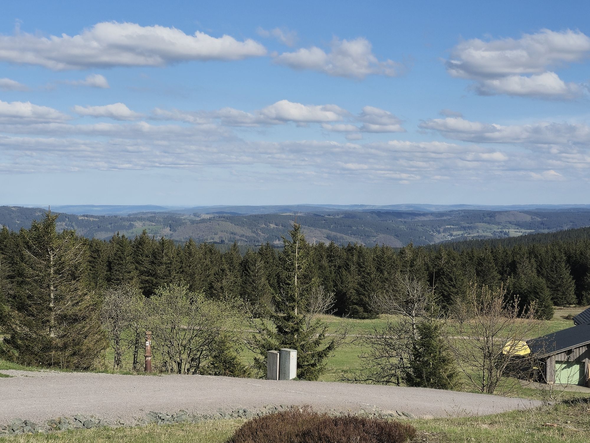
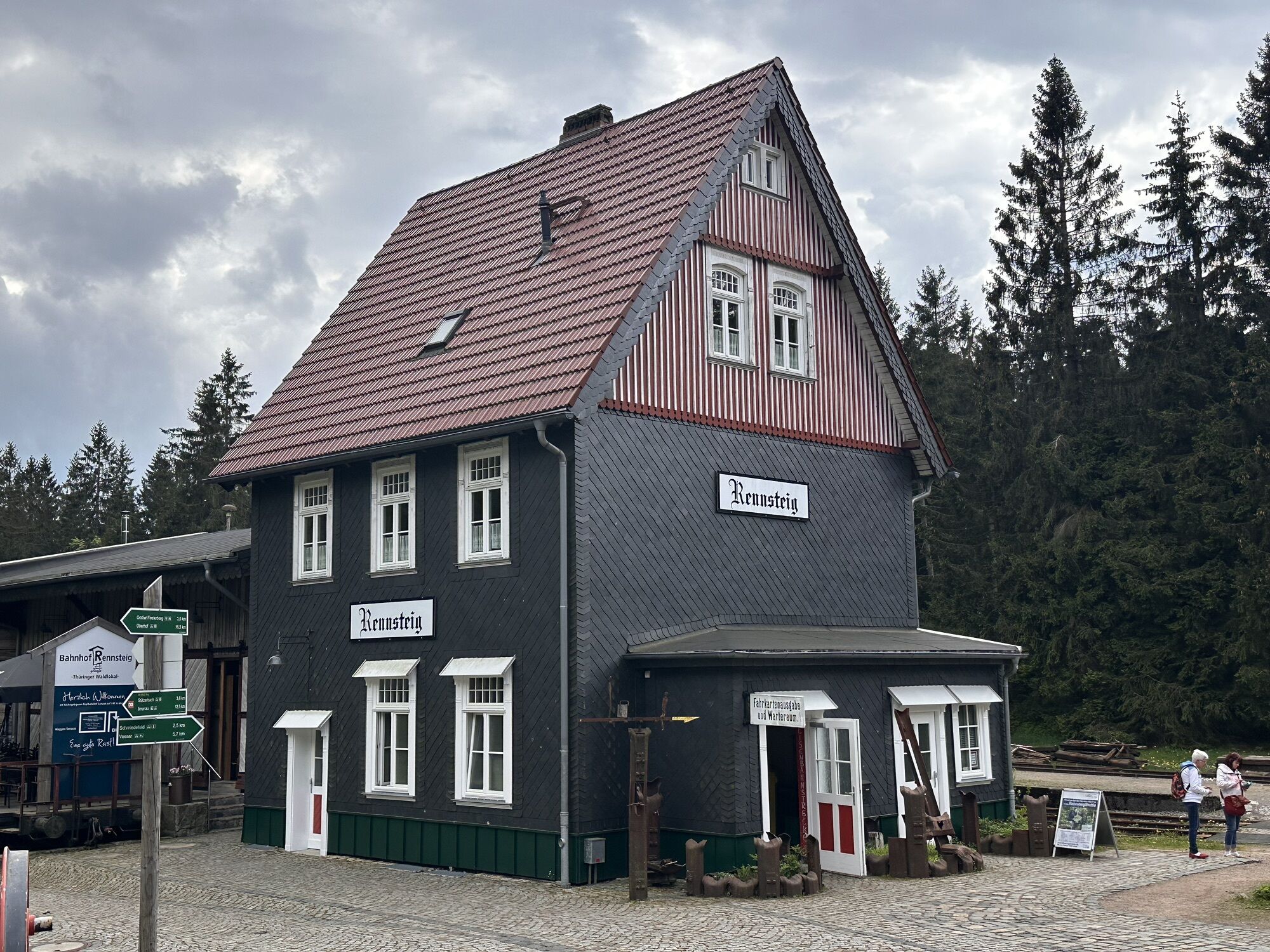
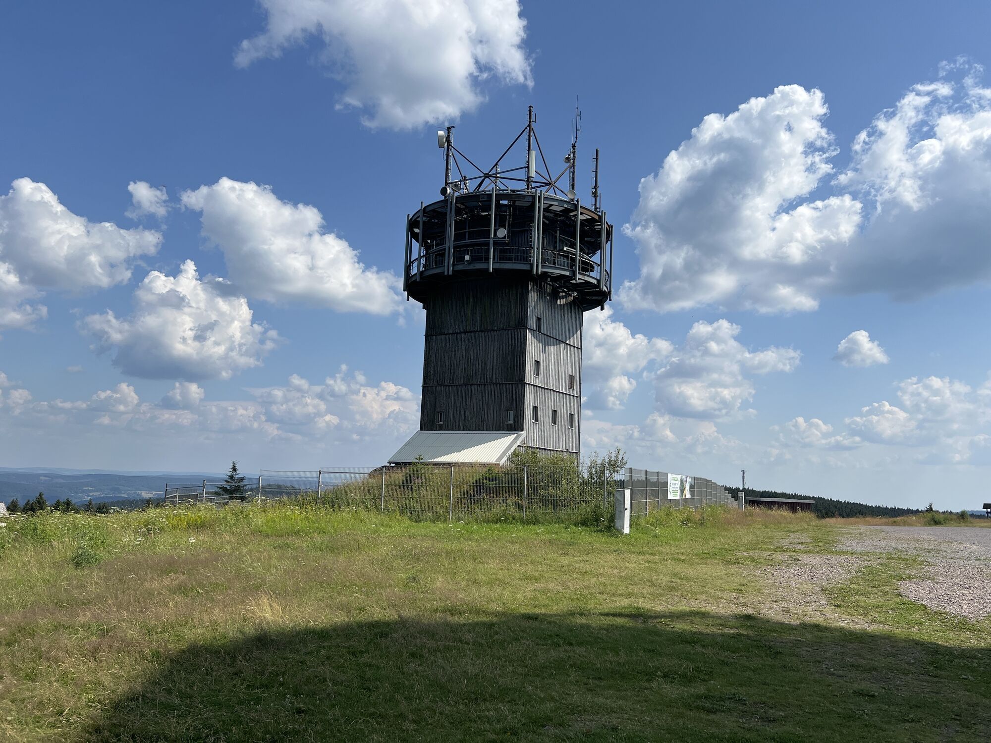
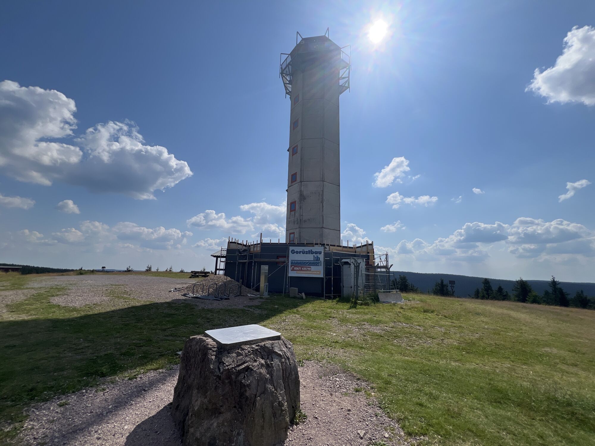
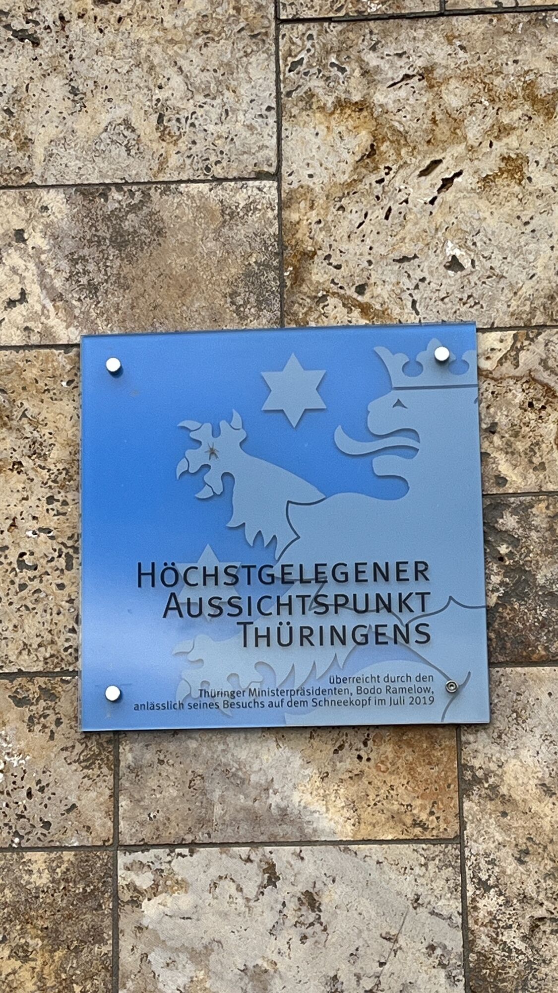
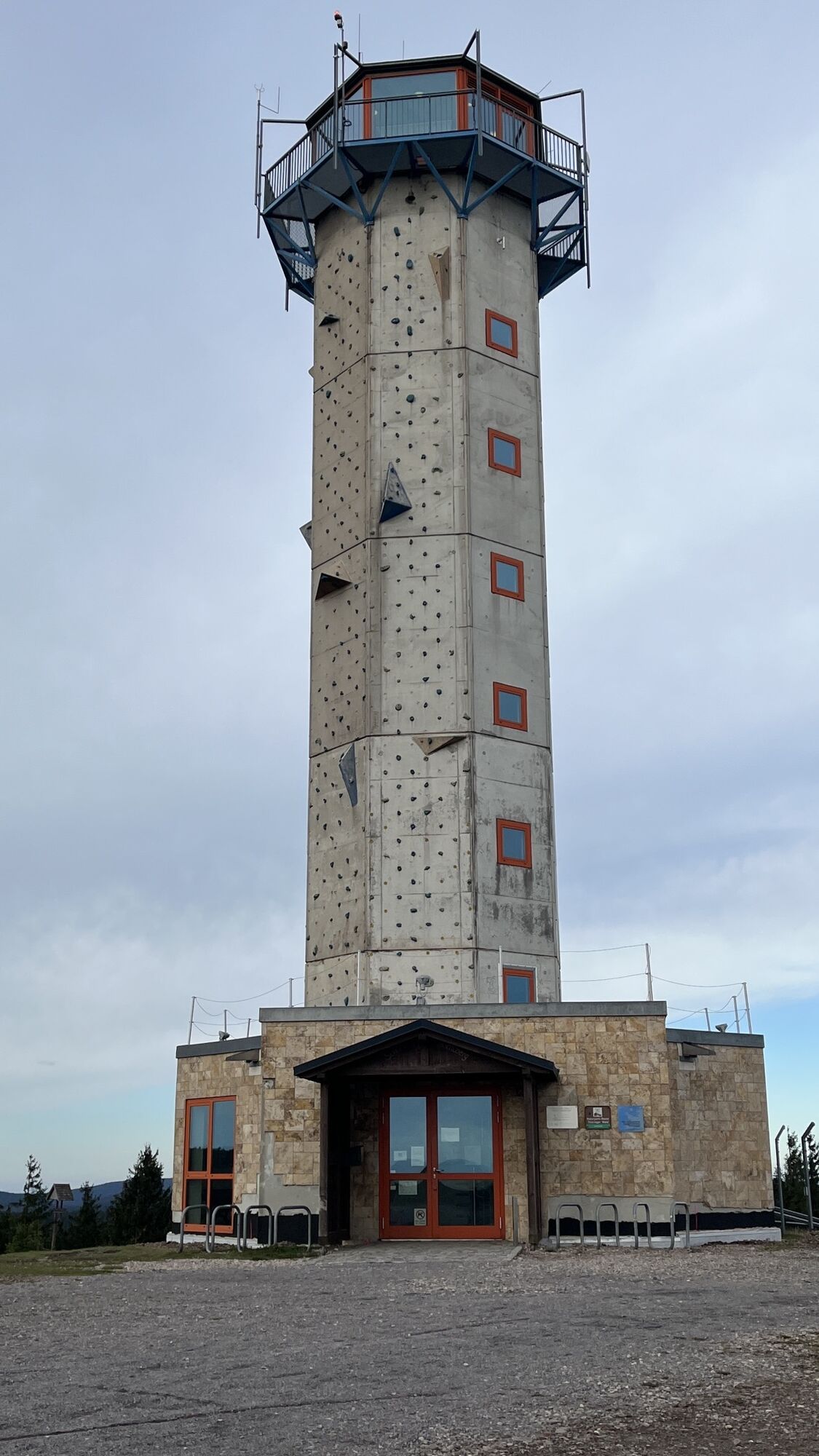
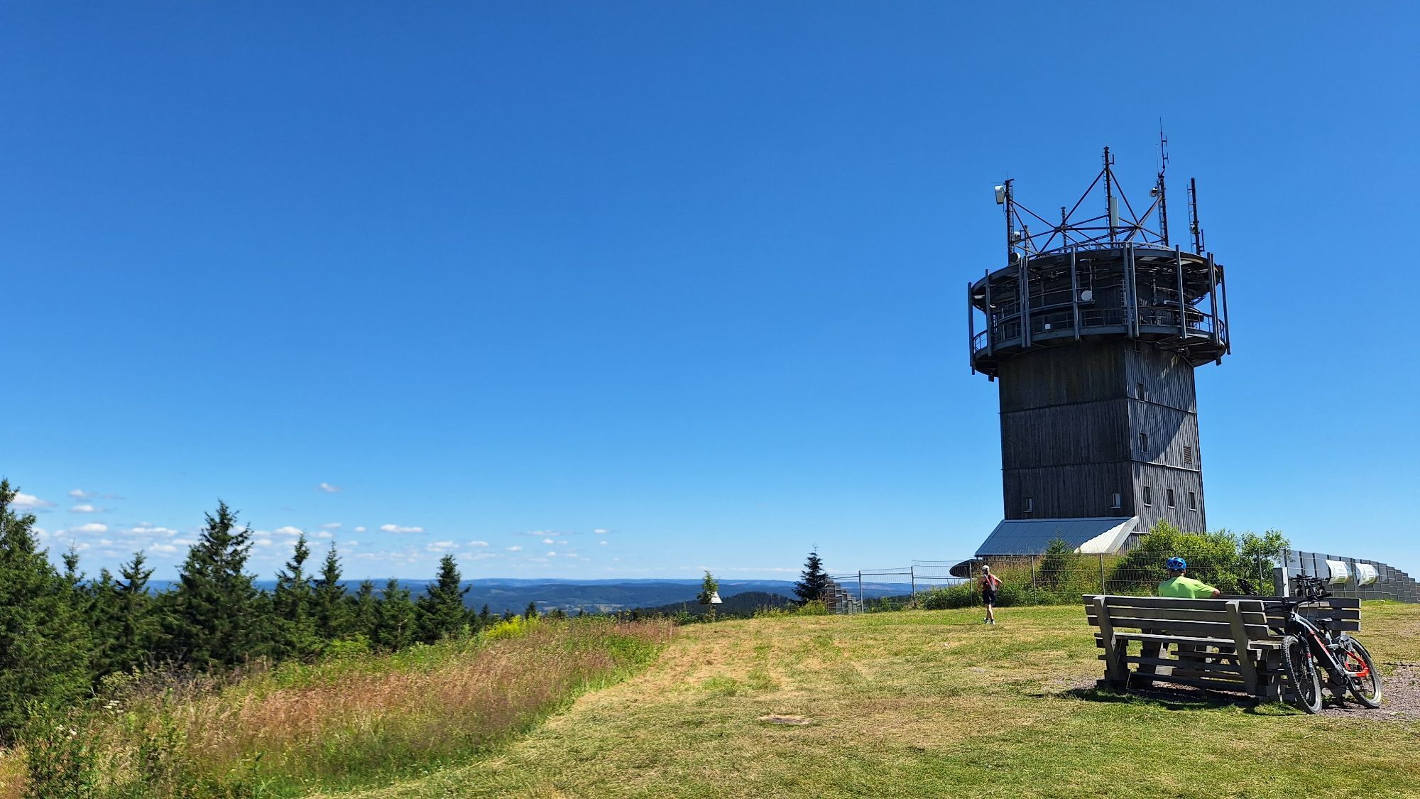
After the rest you continue your hike and make your way to Schneekopf. From there you can detour to the Suhler Hut where you can stop for a break. Then continue along the Schmücke and past the Herbert-Roth memorial stone. Your destination is the Rennsteig train station.

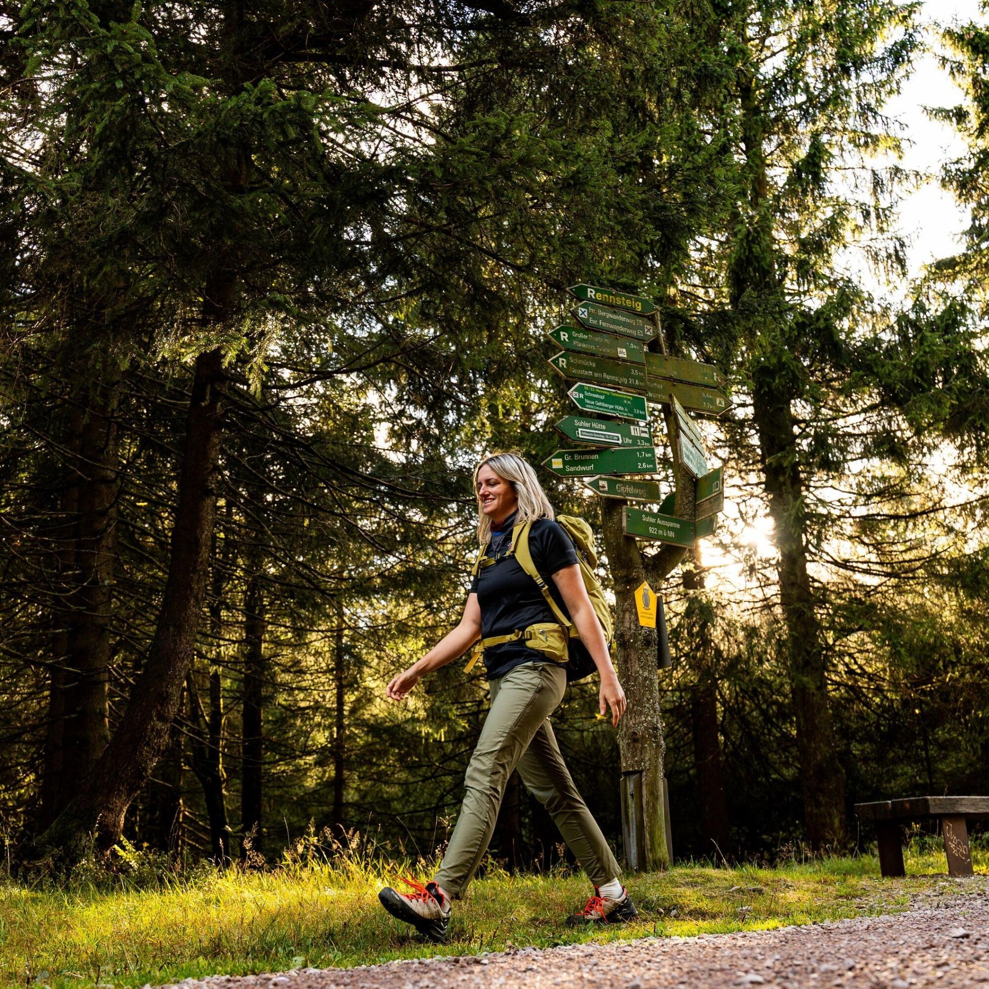
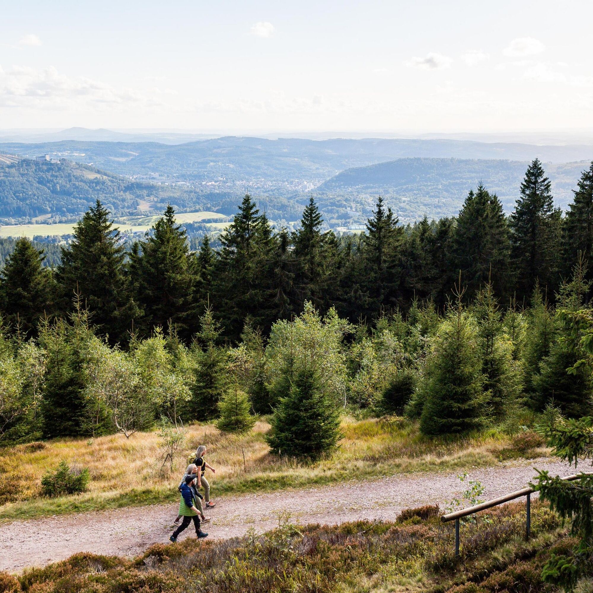
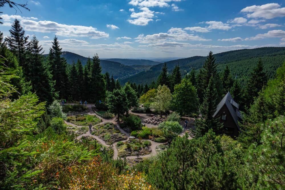
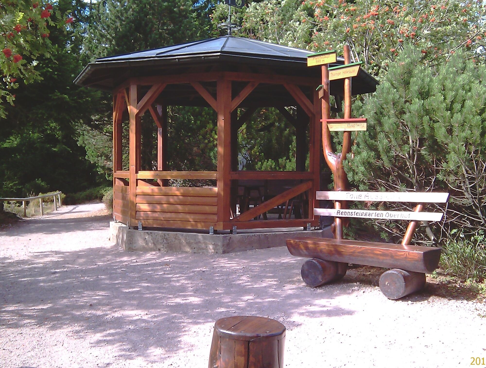
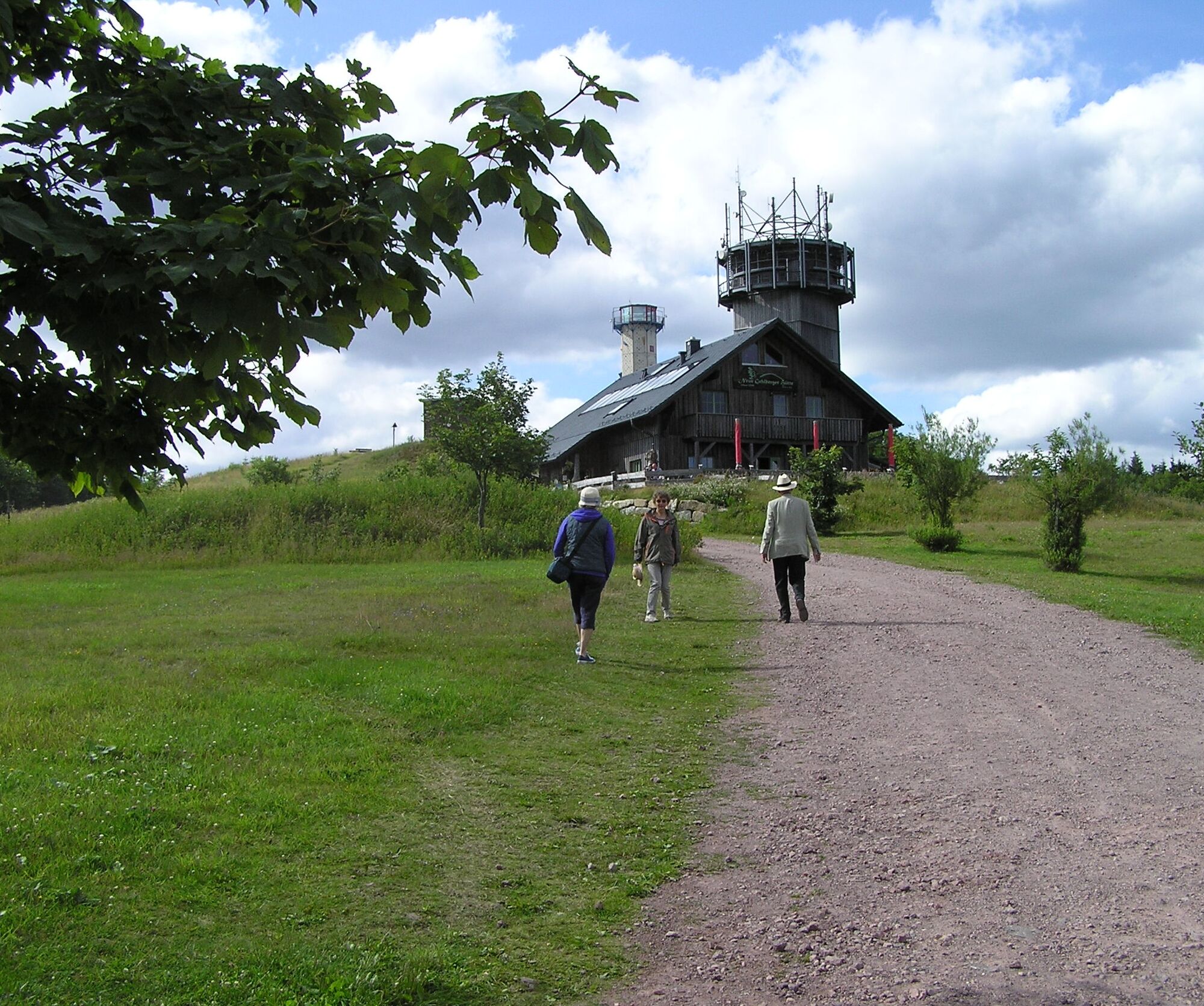
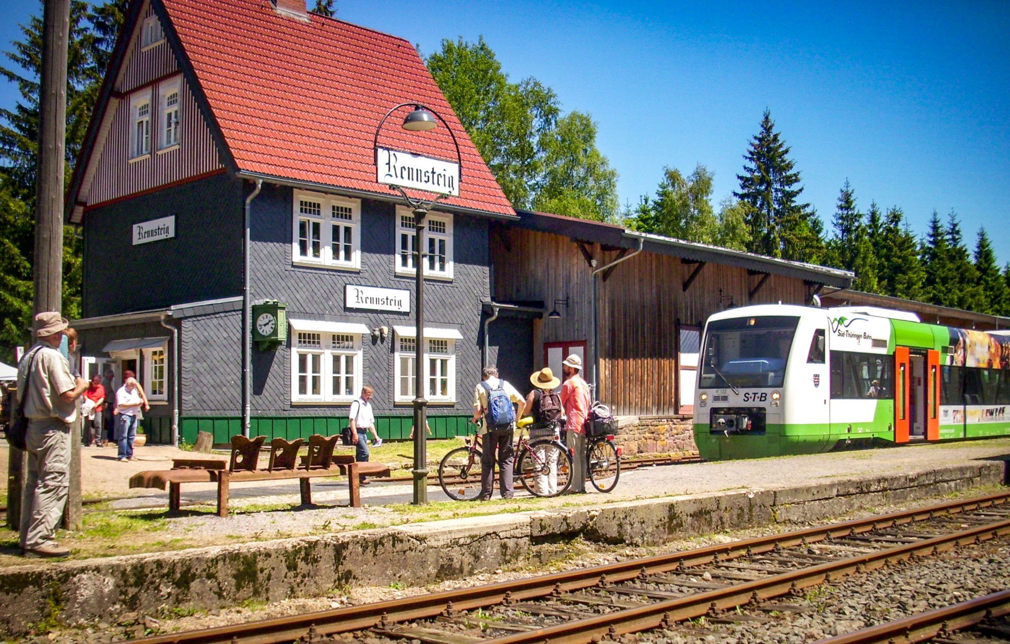

Rondell Oberhof - Suhler Ausspanne - Plänkners Viewpoint - Schneekopf - Suhler Hut - Mordfleck - Rennsteig Train Station
Tak
Tak
Sturdy footwear
First aid kit
Drink supplies (especially in high temperatures)
GPS device or GPS-enabled smartphone with onboard map material
Easy hiking trail:
Nevertheless, always make sure to have a secure foothold and do not leave the signposted hiking routes.
From the A71 motorway exit 19: Suhl/ Zella Mehlis, then continue towards Oberhof
By Deutsche Bahn to Suhl or Zella-Mehlis.
From there by MBB bus line 422 to the Oberhof, Rondell stop
Parking spaces in Oberhof at the Rondell
Google Nav Point
Suhler Hut
Schneekopf
Rennsteig Train Station
 Uzyskaj wgląd
Zawsze na żywo z ponad 9 500 kamer internetowych. bergfex Jako użytkownik Pro, możesz teraz zobaczyć odpowiednie kamery internetowe dla wielu wycieczek w aplikacji wycieczki od. Pozwala to na bezpośredni podgląd aktualnych warunków.
Uzyskaj wgląd
Zawsze na żywo z ponad 9 500 kamer internetowych. bergfex Jako użytkownik Pro, możesz teraz zobaczyć odpowiednie kamery internetowe dla wielu wycieczek w aplikacji wycieczki od. Pozwala to na bezpośredni podgląd aktualnych warunków.
Popularne wycieczki w okolicy
-
4,3
Rund um die Ohratalsperre
światłoWędrówka 14,5 km -
3,0
Circular hike - "4 ponds hike" Neustadt am Rennsteig - Thuringian Forest
ciężkiWędrówka 12,6 km -
4,8
Circular hike - Schmalwasser reservoir - Tambach-Dietharz - Thuringian Forest
średniWędrówka 13,8 km -
4,6
Hike over the Rennsteig & the Schneekopf to the Schmücke
ciężkiWędrówka 21,0 km -
3,8
Rundweg Talsperre
średniJazda na rowerze 14,5 km -
The Rennsteig - long-distance hiking trail from Hörschel to Blankenstein - Thuringian Forest
ciężkidługodystansowy szlak pieszy 169,0 km -
4,0
Circular hiking route "Oberschönauer Felsenwanderung" - Steinbach-Hallenberg - Thuringian Forest
ciężkiWędrówka 12,0 km -
4,0
Zu den Schanzen im Kanzlersgrund
średniWędrówka 9,58 km -
4,7
Circular hike to Lütschetalsperre
średniWędrówka 13,0 km -
5,0
Rundtour Staudamm
światłoWędrówka 3,91 km
Wędrówki i tropienie


Nie przegap ofert i inspiracji na następne wakacje
Twój adres e-mail została dodana do listy mailingowej.





