


Circular hike - Frauensee - Thuringian Forest
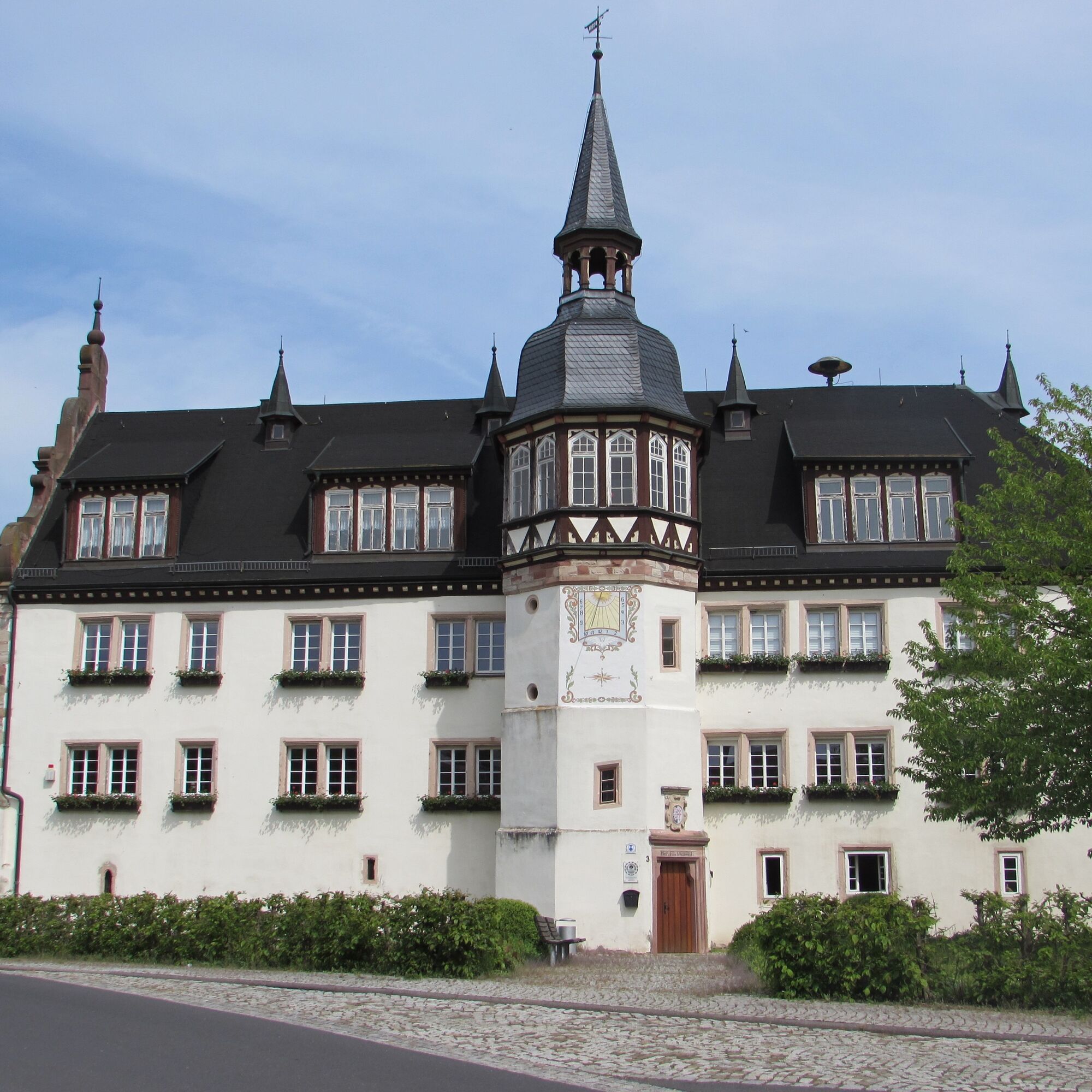
After a turbulent history, the community was awarded the lake, the Renaissance castle dominating the village view built on the monastery’s foundations, and the surrounding beech forest after World War...
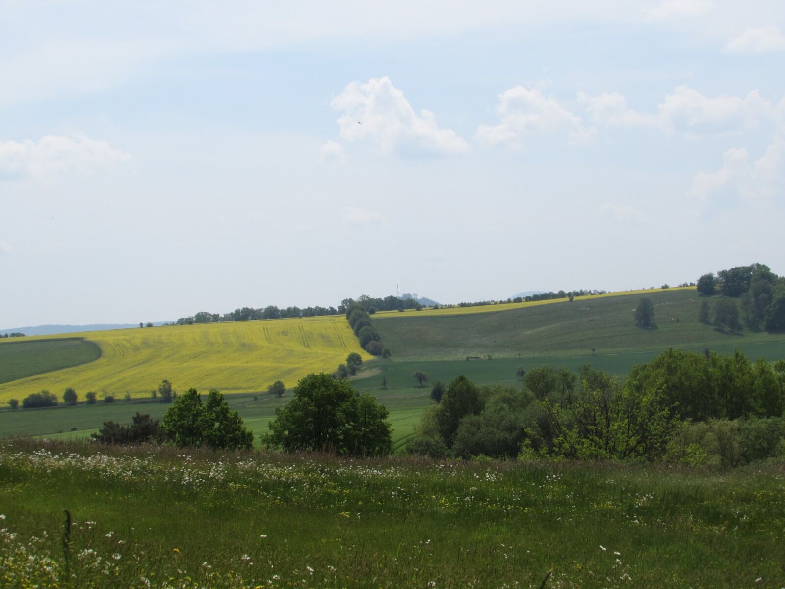
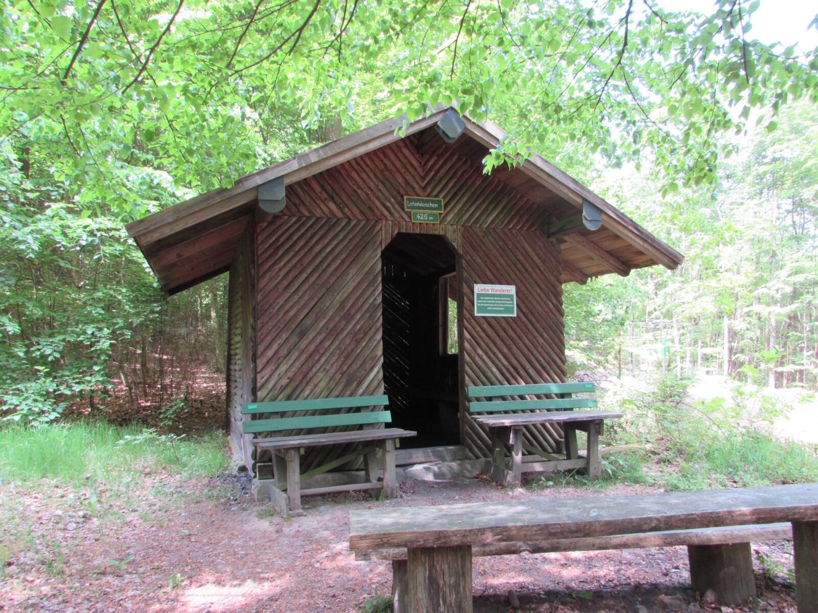
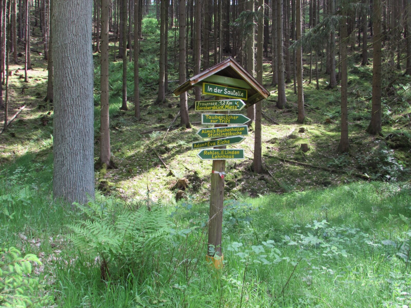
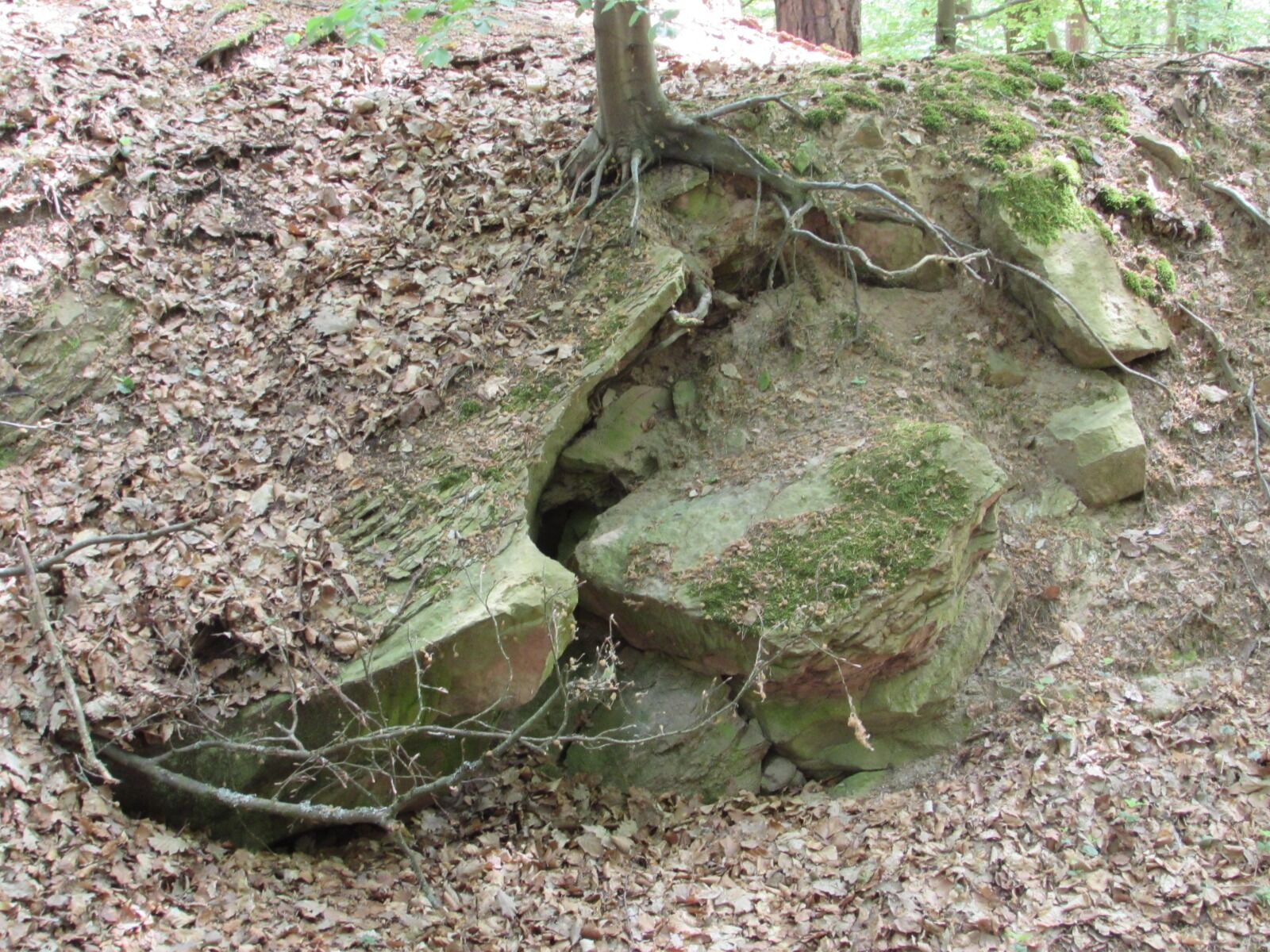
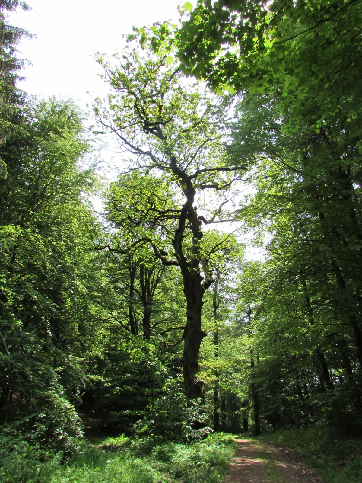
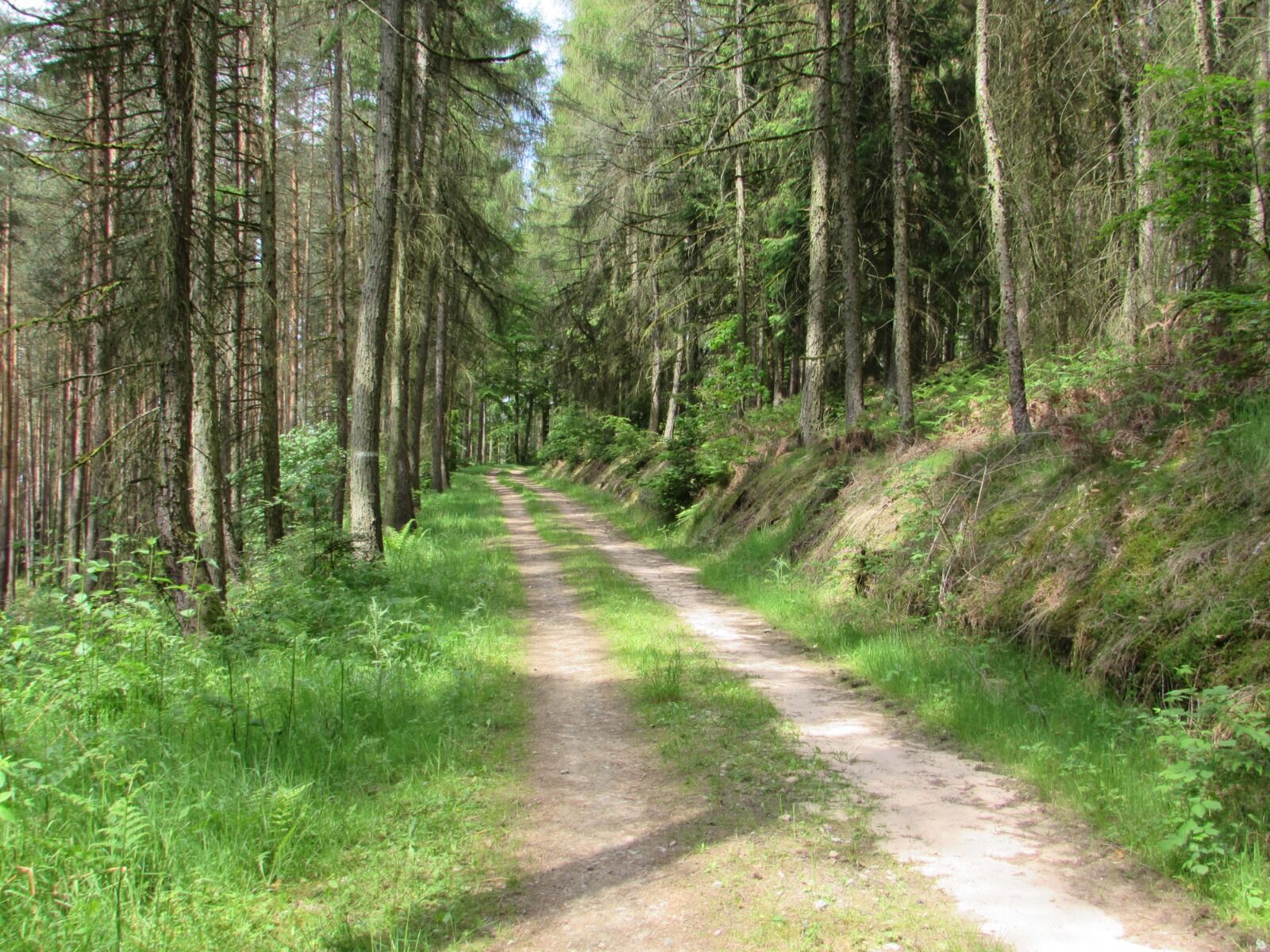
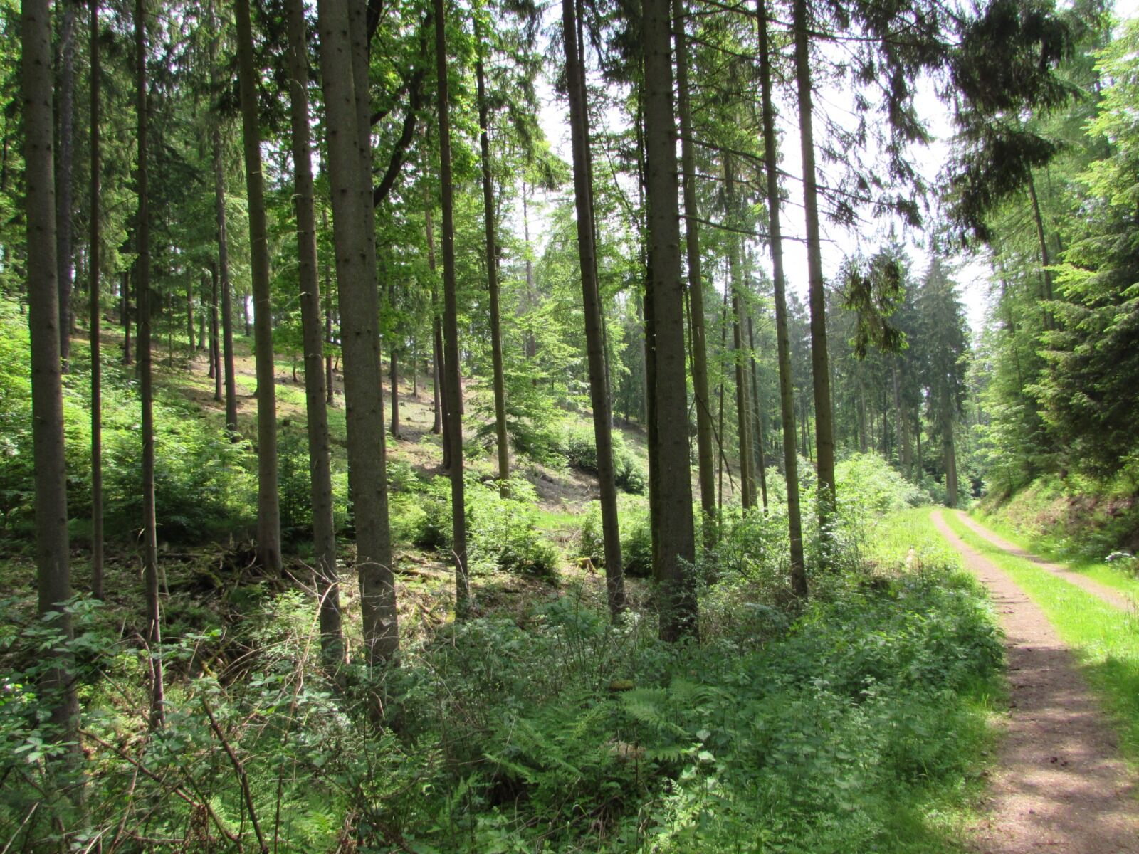
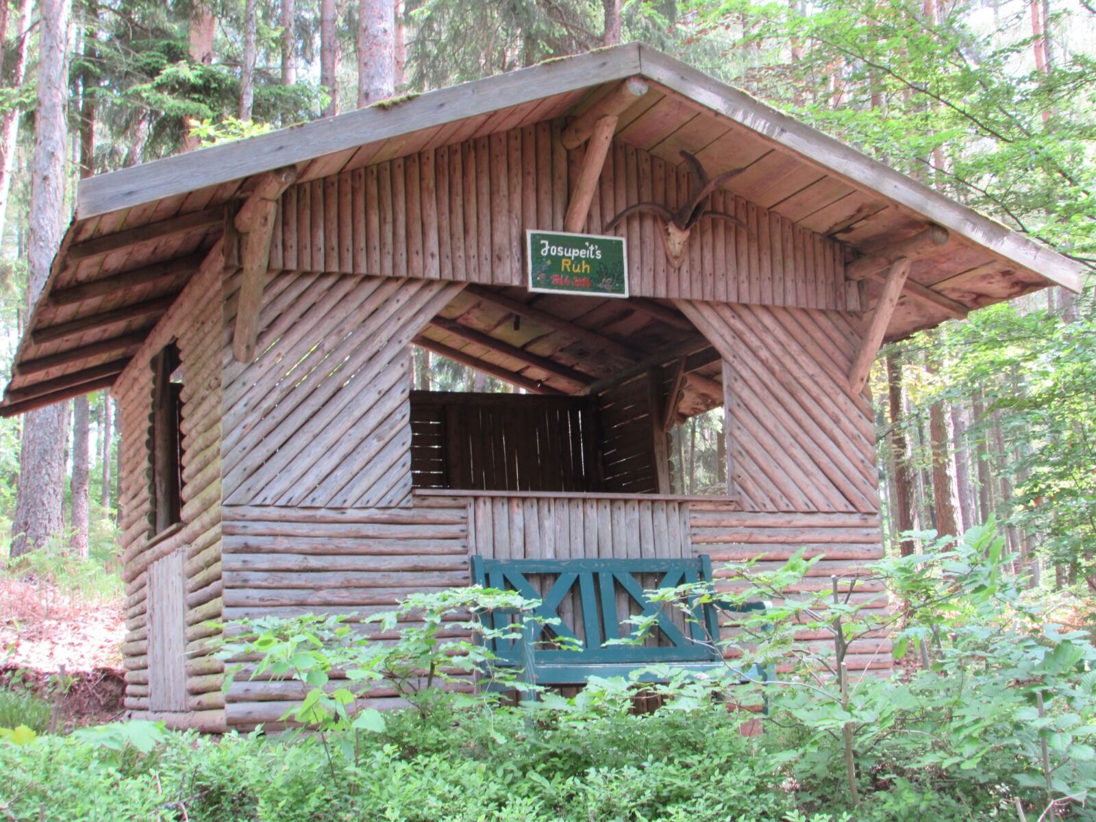
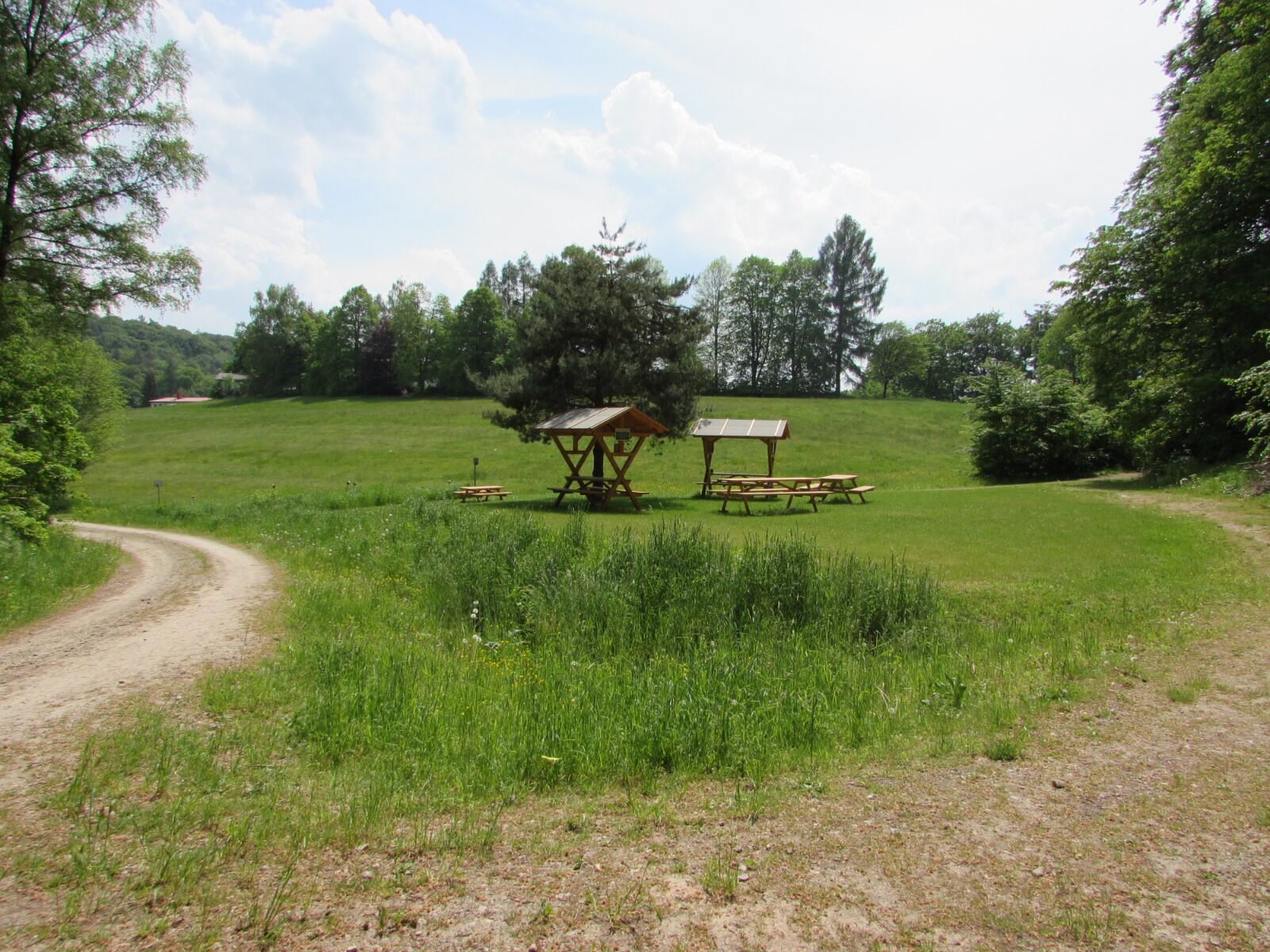
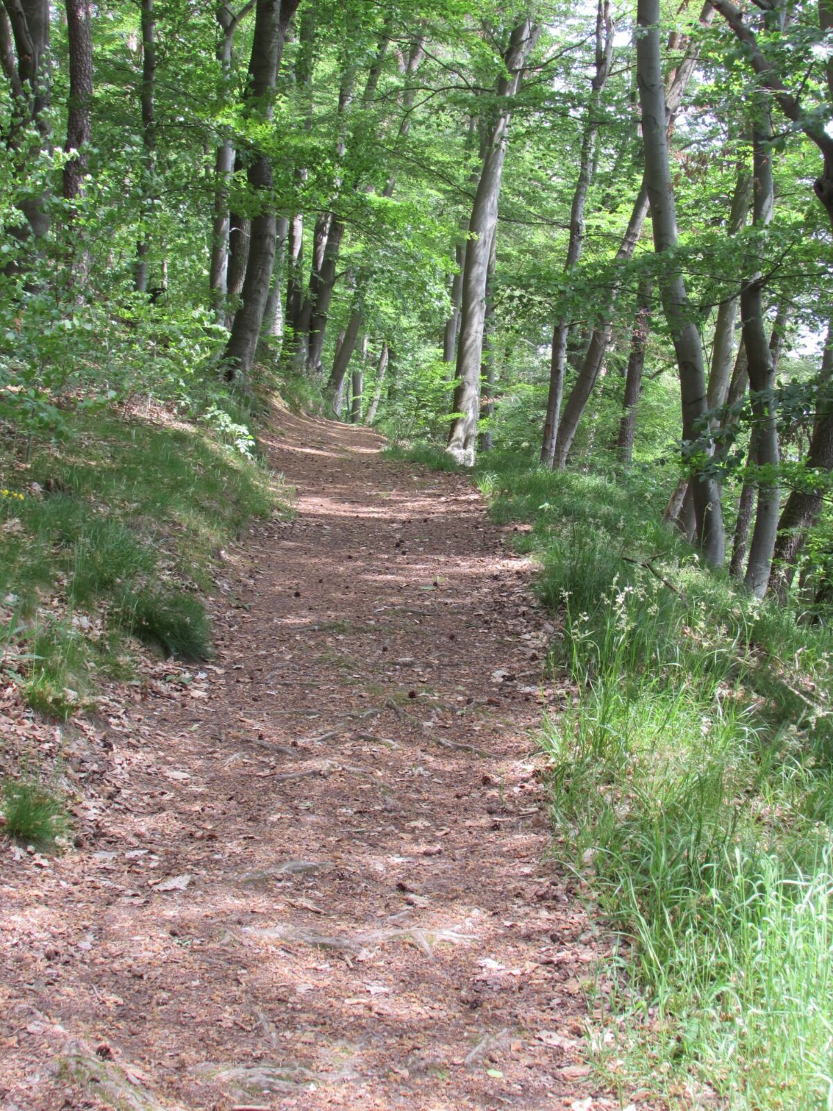
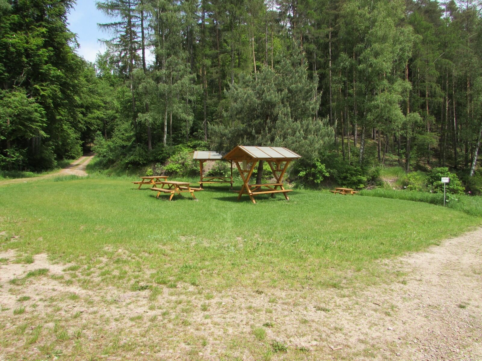
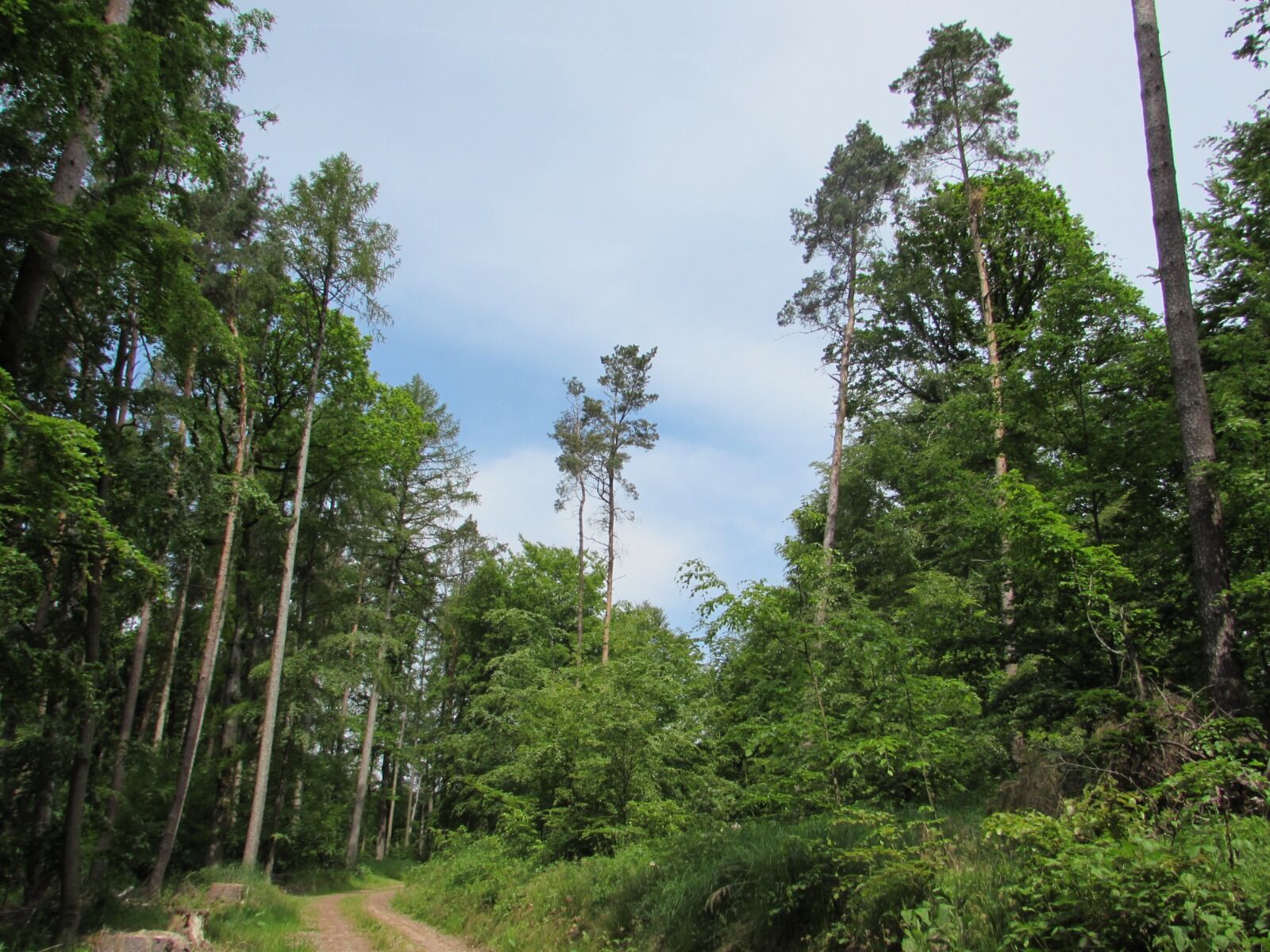
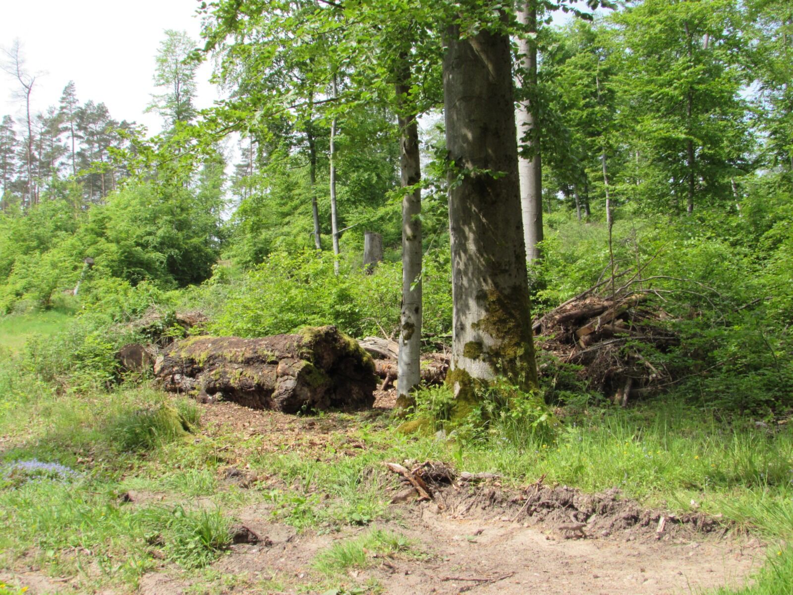
After a turbulent history, the community was awarded the lake, the Renaissance castle dominating the village view built on the monastery’s foundations, and the surrounding beech forest after World War II. The round route around Frauensee starts at the castle and leads above the lake through the Tännertal valley to Josupeit's Ruh, a shelter in the middle of the forest. After a short break, you hike from the Karlsbuche along the ridge path until you meet the Ecumenical Pilgrim Way at the Lehnhaus. From here, it goes downhill over Alma's beech halls, the Miesgraben, and the Sautelle to the Gansbergblick viewpoint. Here the hiker is surprised by the view of the idyllic village and beyond to the Krayenberg in the Rhön. From Gansbergblick, you reach the Taubenlöchern - several collapse holes giving insights into the geological structure of the abundant karst rocks. At the Wiesendreieck, you enjoy the view over Frauensee once more before the descent back to the castle begins.

sturdy footwear
rainwear
first aid kit
GPS device or smartphone
drink supply
Please be aware of typical forest hazards and follow the instructions of the ThüringenForst staff. Also, disposing of rubbish is only allowed at designated places (rest areas with garbage bins).
A4 exit 19 Eisenach West onto B19, shortly after that onto 84 towards Marksuhl and continue to Frauensee.
You can reach Frauensee by taking the Deutsche Bahn to Bad Salzungen station. From there, continue by bus lines 101 / 103 / 110 to Frauensee.
Parking lot at Frauensee Castle
Taubenlöchern - several collapse holes here provide insights into the geological structure of the abundant karst rocks.
Popularne wycieczki w okolicy
-
5,0
EA1 - Circular route - Gorge tour near Eisenach - Thuringian Forest
średniWędrówka 9,68 km -
4,7
IVV PW + GTW "In Luther's footsteps - Luther, dragons, landgraves, rose miracle..."
średniWędrówka 15,8 km -
3,7
EA2 - circular hiking route - "The Beauties of Eisenach" - Thuringian Forest
średniWędrówka 9,96 km -
5,0
Wartburg und Drachenschlucht
średniWędrówka 15,1 km -
5,0
Trasa okrężna 3 - Mariental/Smoczy Wąwóz/Grotta Elfów
średniWędrówka 3,54 km -
4,7
Hike - "Rennsteig-Leiter Eisenach" Thuringian Forest
średniWędrówka 3,58 km -
4,7
Hike - Rennsteig - Stage 1 - From Hörschel to Ascherbrück / Ruhla
ciężkiWędrówka 19,1 km -
4,0
Circular hiking trail - "Große Bermerrunde" - Ruhla - Thuringian Forest
światłoWędrówka 8,14 km -
Circular hike - From the Rennsteig start via the "Stedtfeld Mining Educational Trail" near Eisenach - Thuringian Forest
średniWędrówka 11,0 km -
Circular hiking trail - "The Beautiful Unknowns" - Wutha-Farnroda
średniWędrówka 10,8 km

Wędrówki i tropienie


Nie przegap ofert i inspiracji na następne wakacje
Twój adres e-mail została dodana do listy mailingowej.