







Circular hiking route - Thuringian loop on the Lutherweg 1521

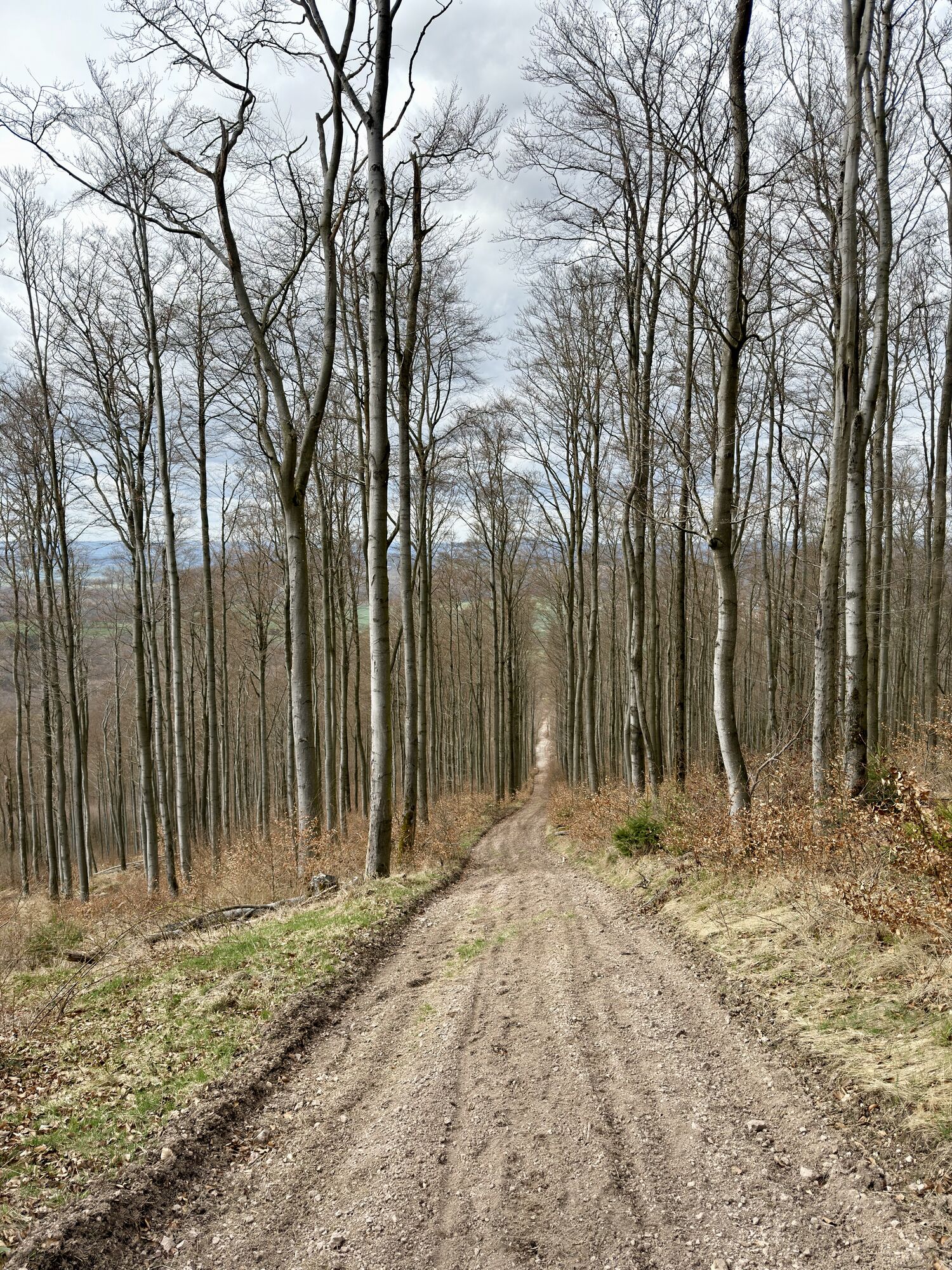
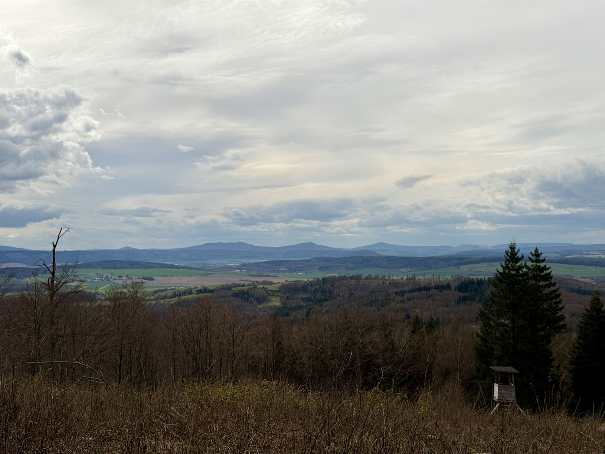
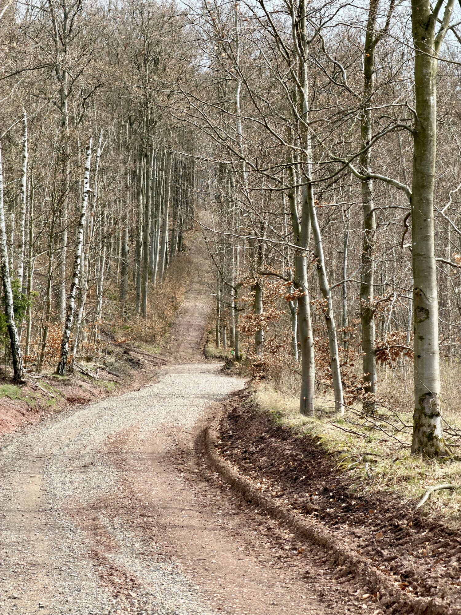
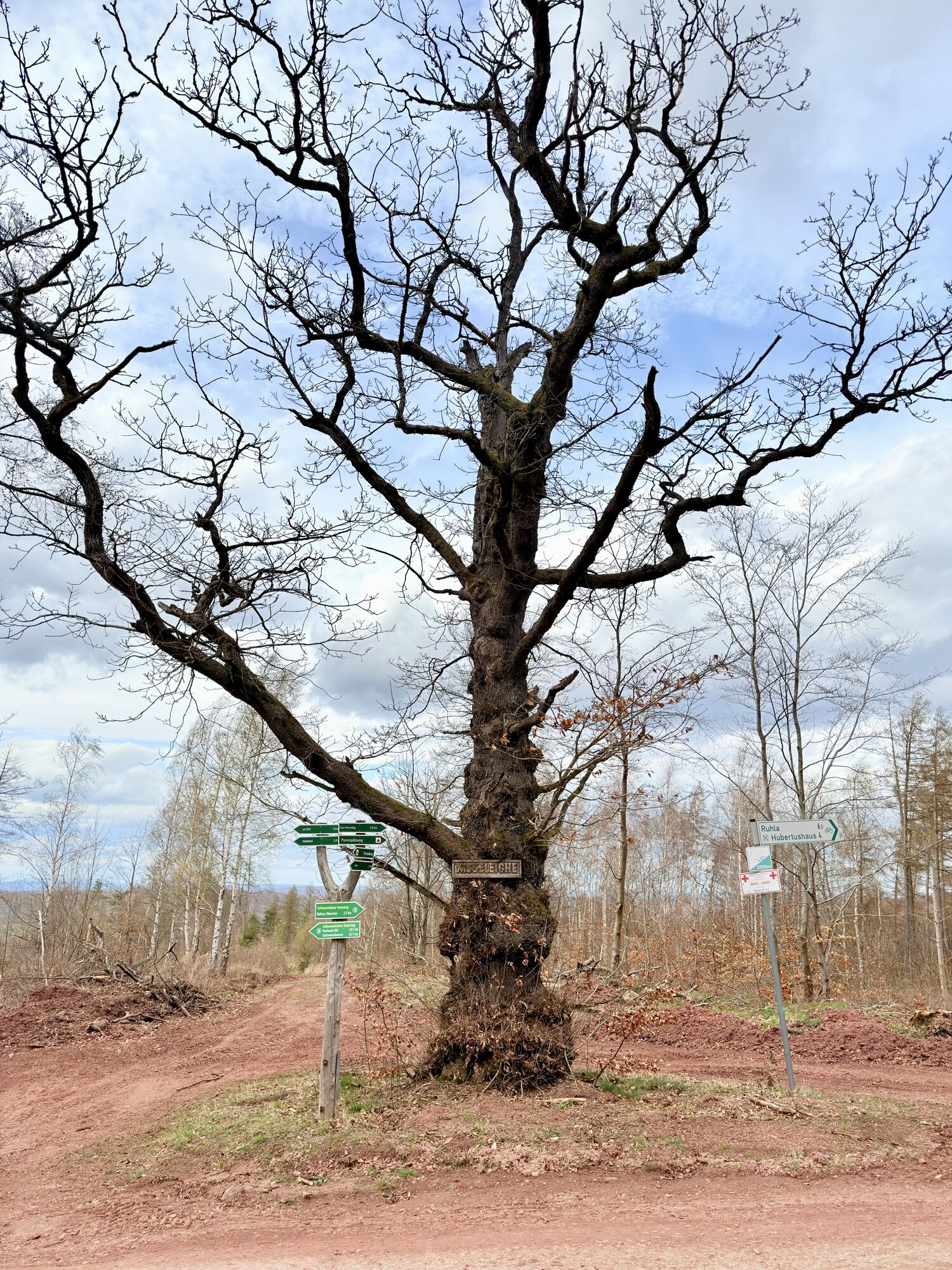
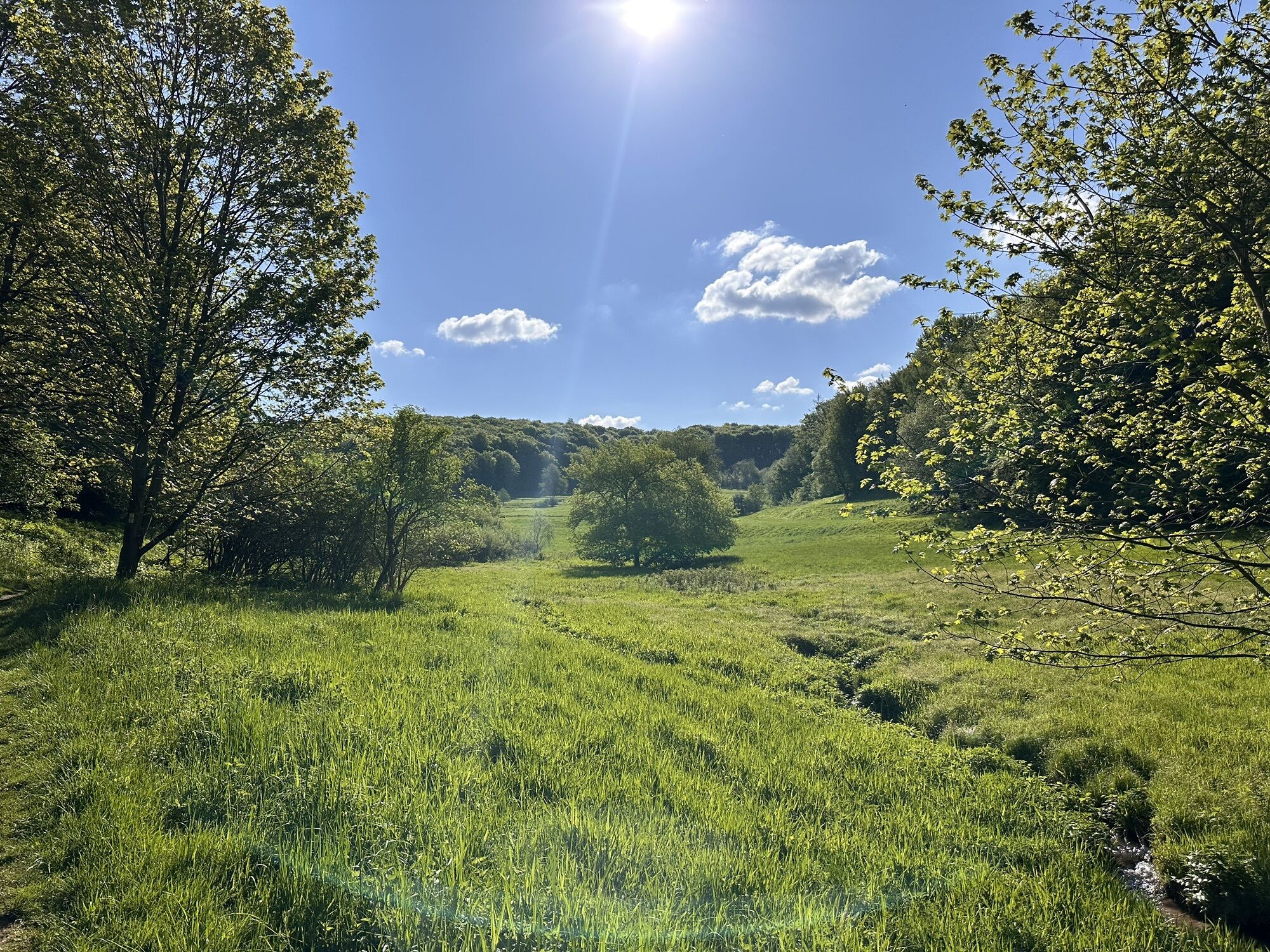
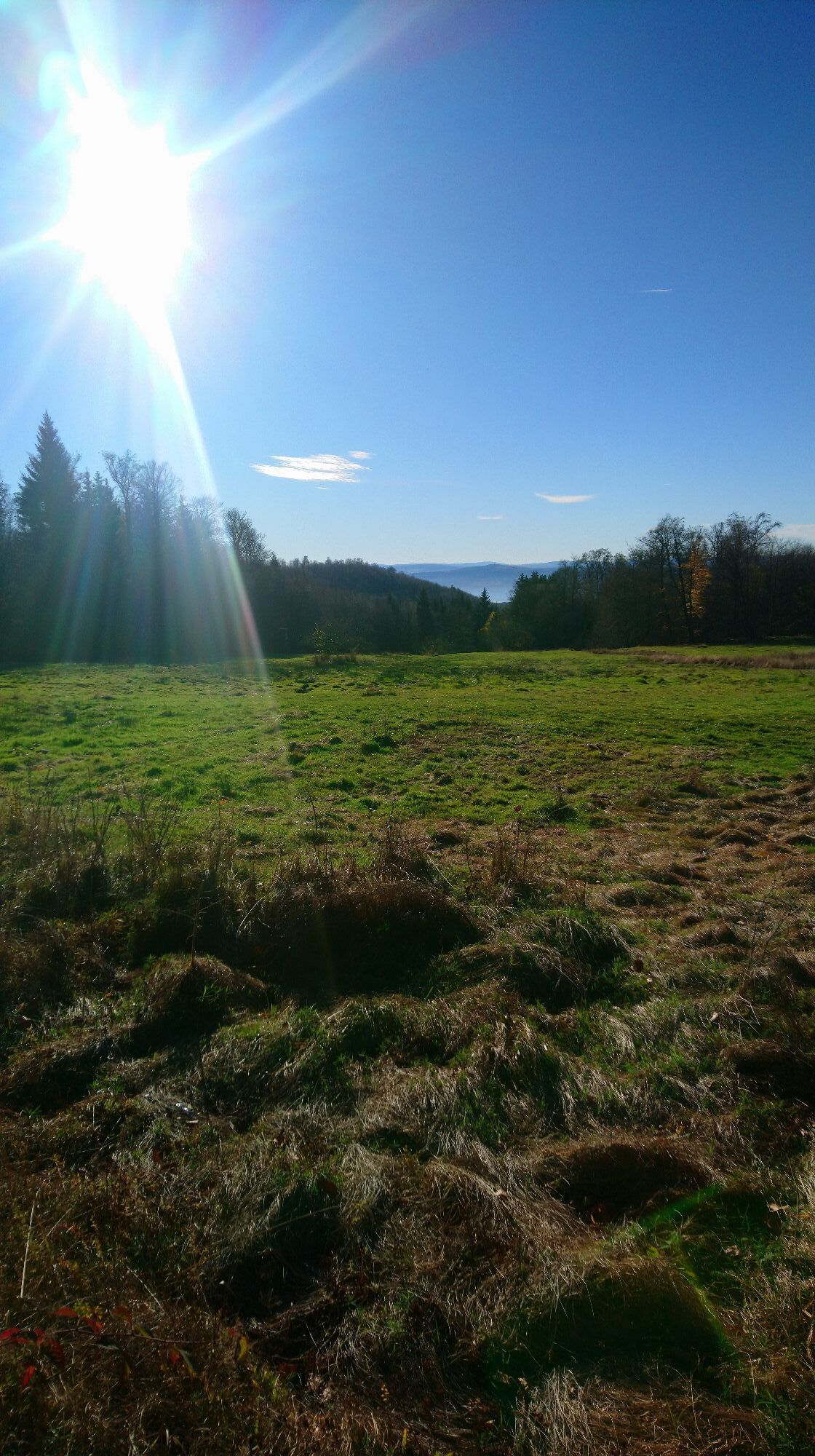
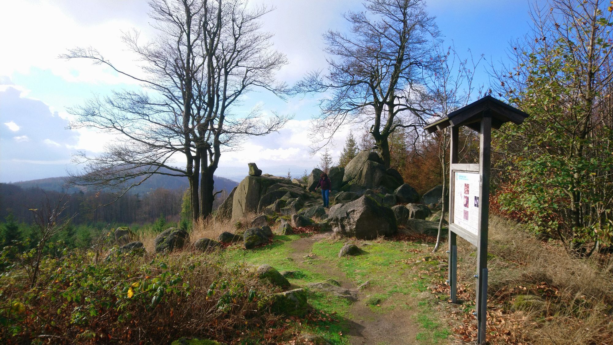

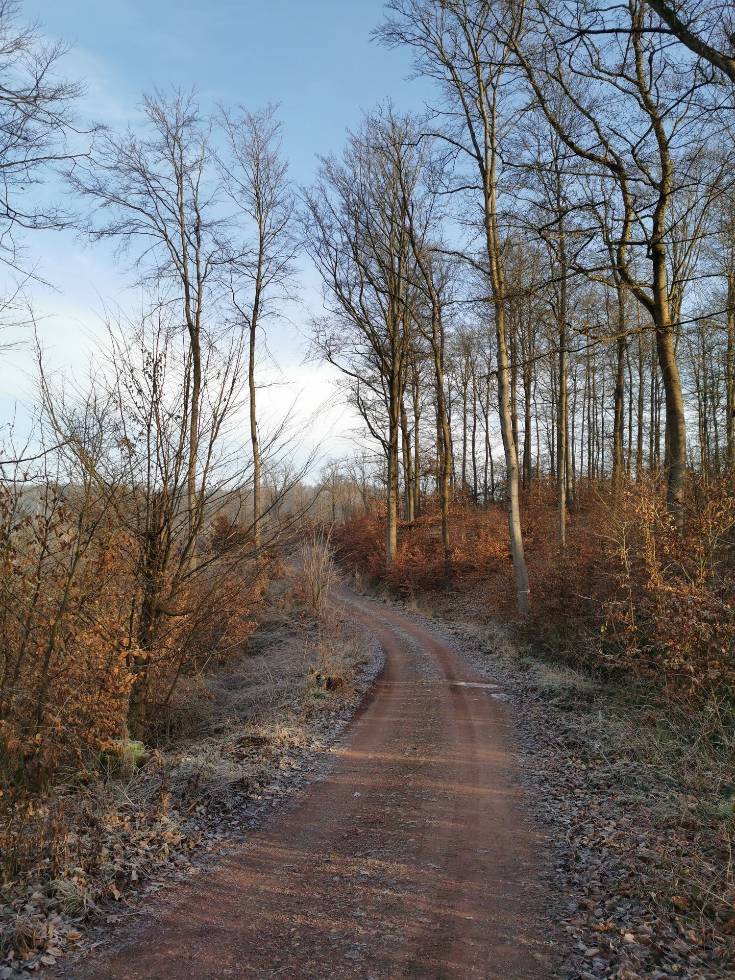
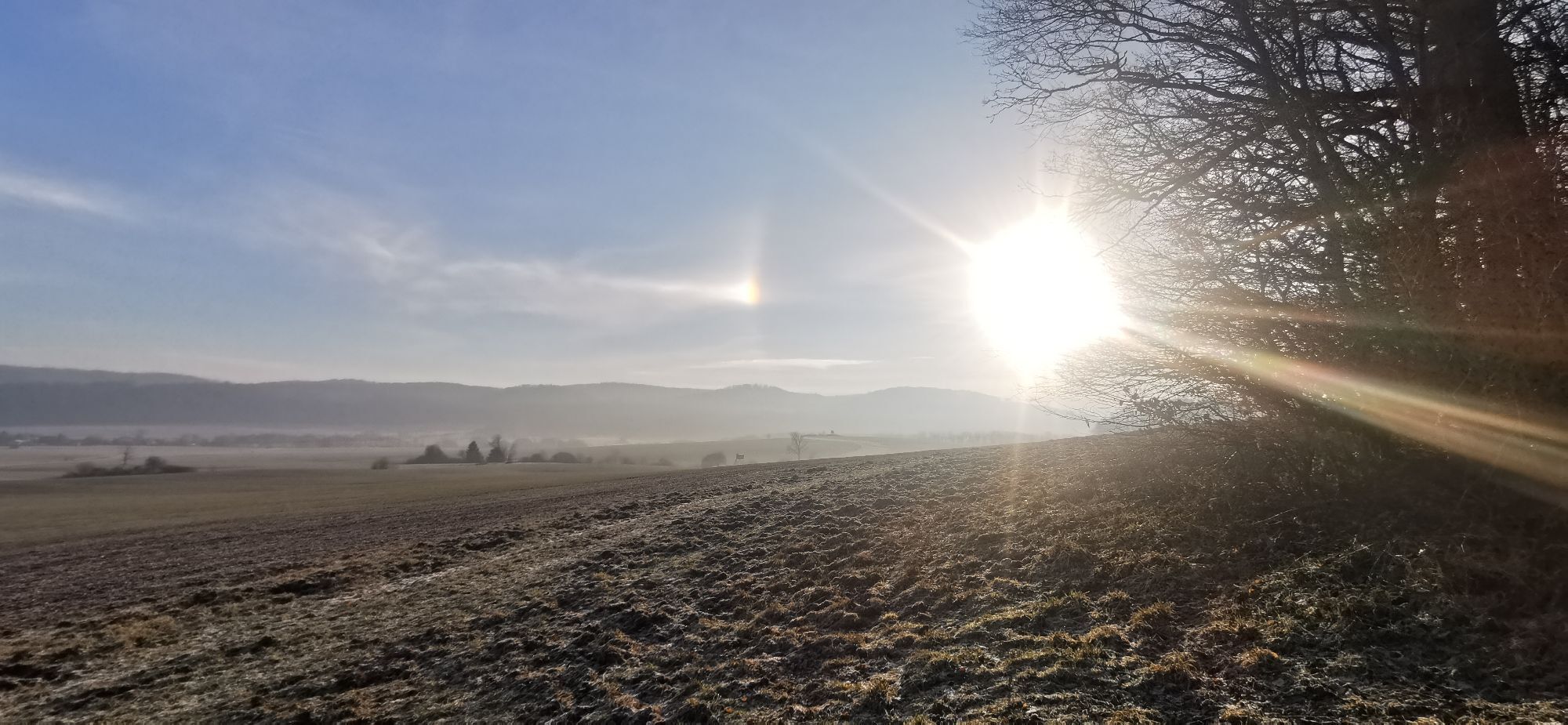
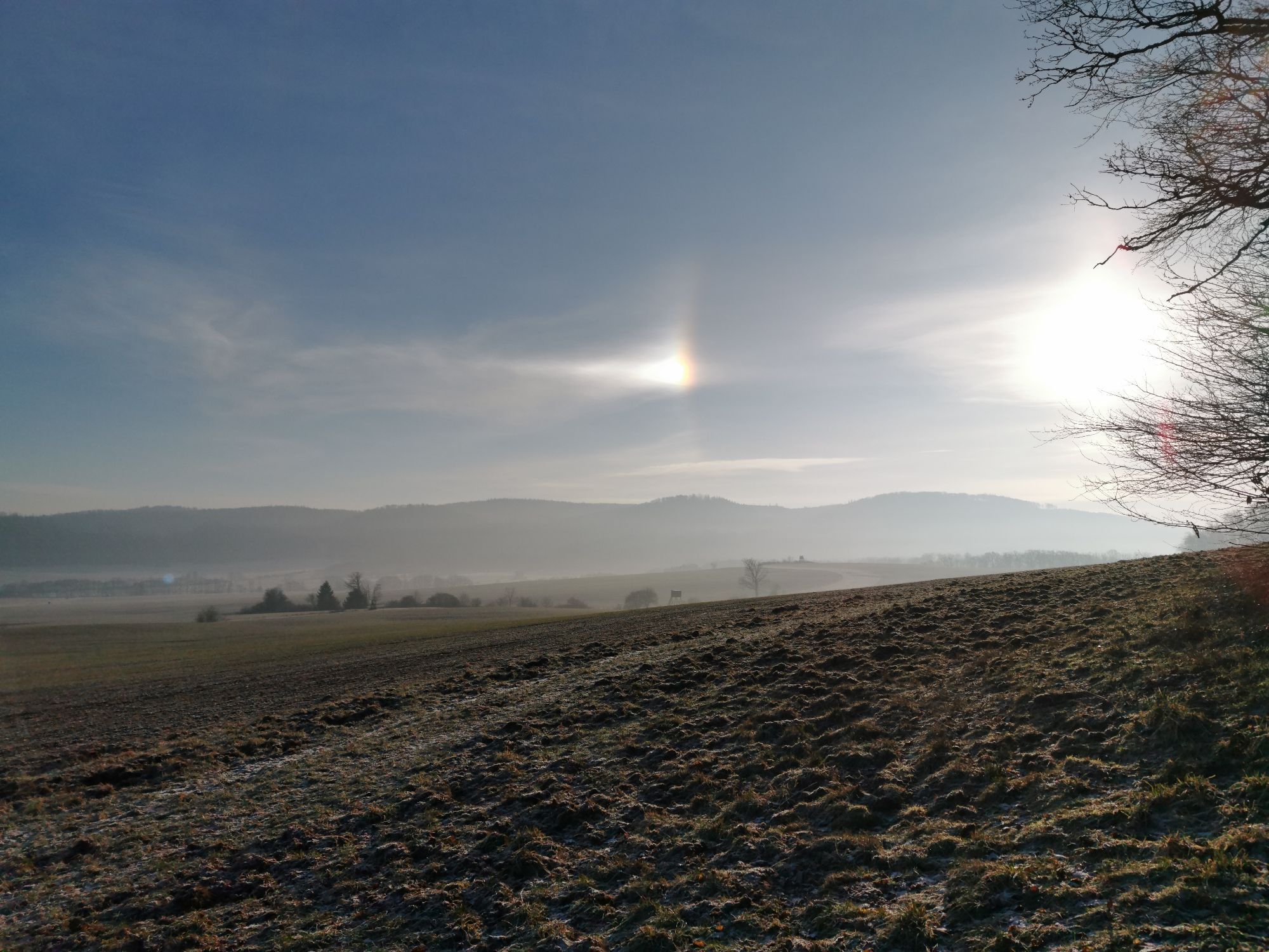
The Thuringian loop on the Lutherweg 1521 complements this route from Worms to the Eisenach Wartburg through beautiful Thuringian mid-mountain landscape along the route that Martin Luther took on his return...
The Thuringian loop on the Lutherweg 1521 complements this route from Worms to the Eisenach Wartburg through beautiful Thuringian mid-mountain landscape along the route that Martin Luther took on his return from Eisenach with his actual destination Wittenberg. He visited his relatives and preached in Luther's ancestral home Möhra, was "kidnapped" for his protection on the way via Schweina and Altenstein Castle to the Rennsteig (Luther monument in the Glasbach valley) and eventually reached the Wartburg by detours, where he lived for 10 months as Junker Jörg for his protection (from possible life danger due to the imperial ban of Emperor Charles V).

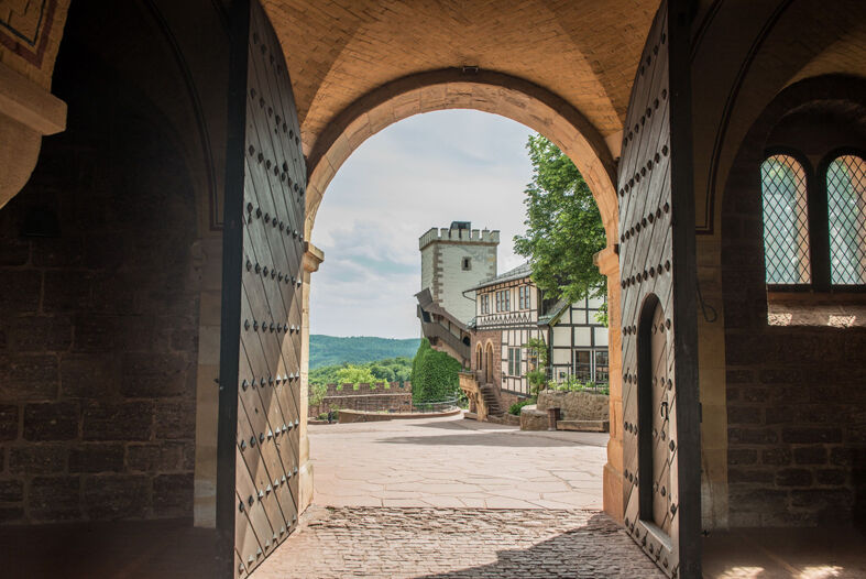
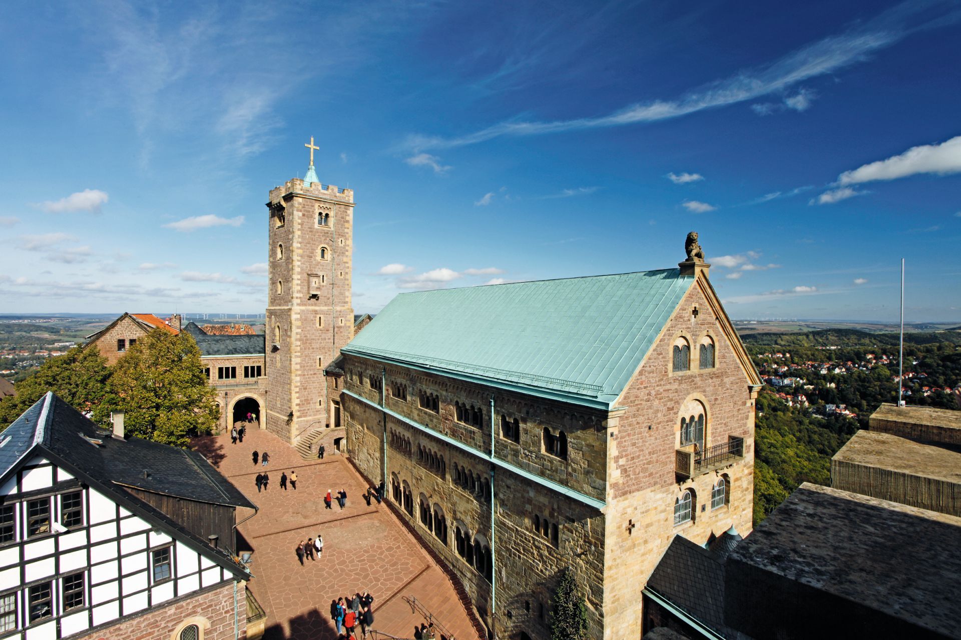
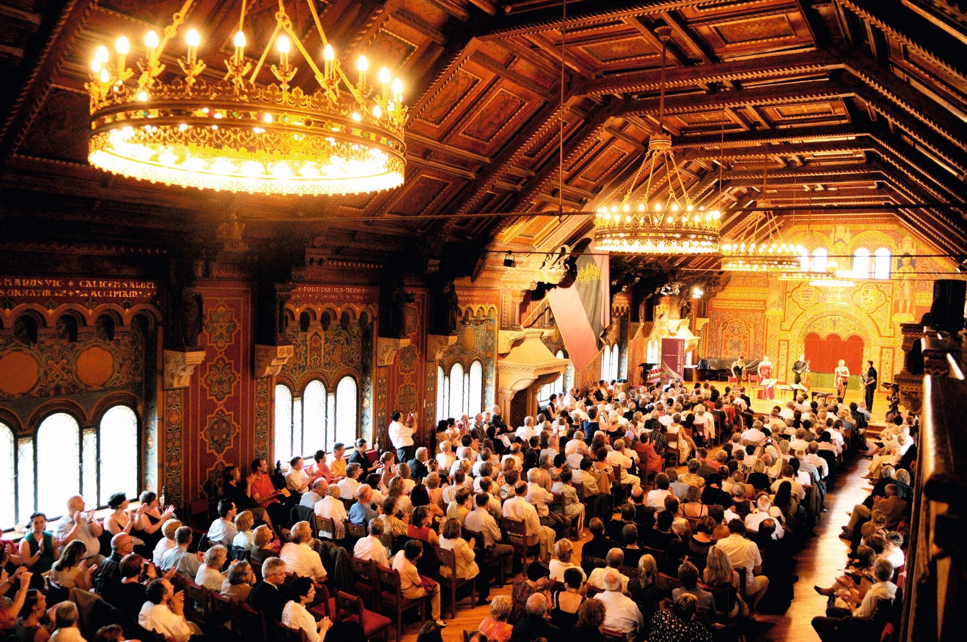
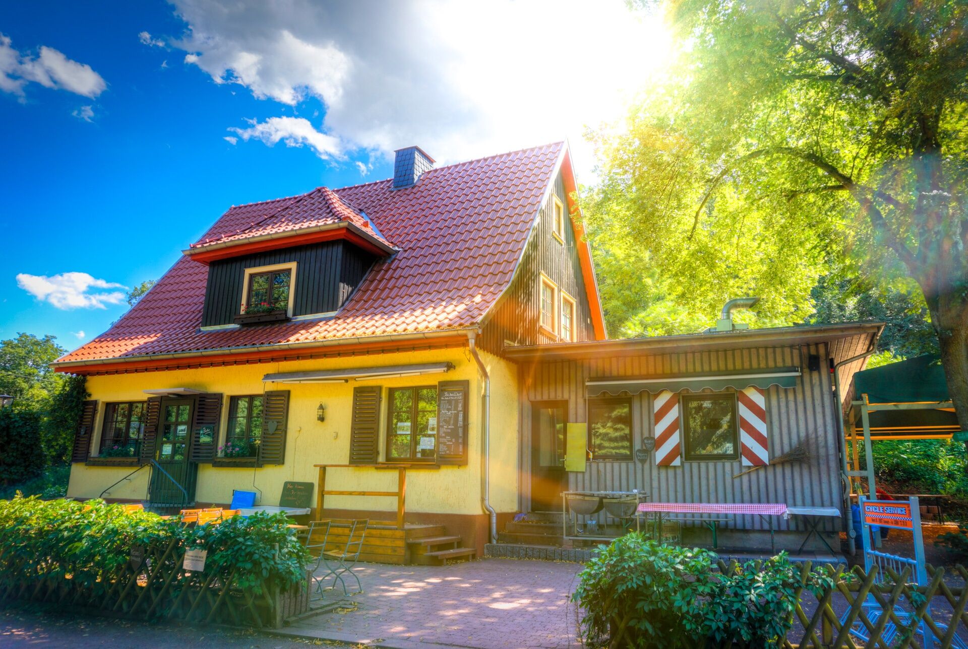
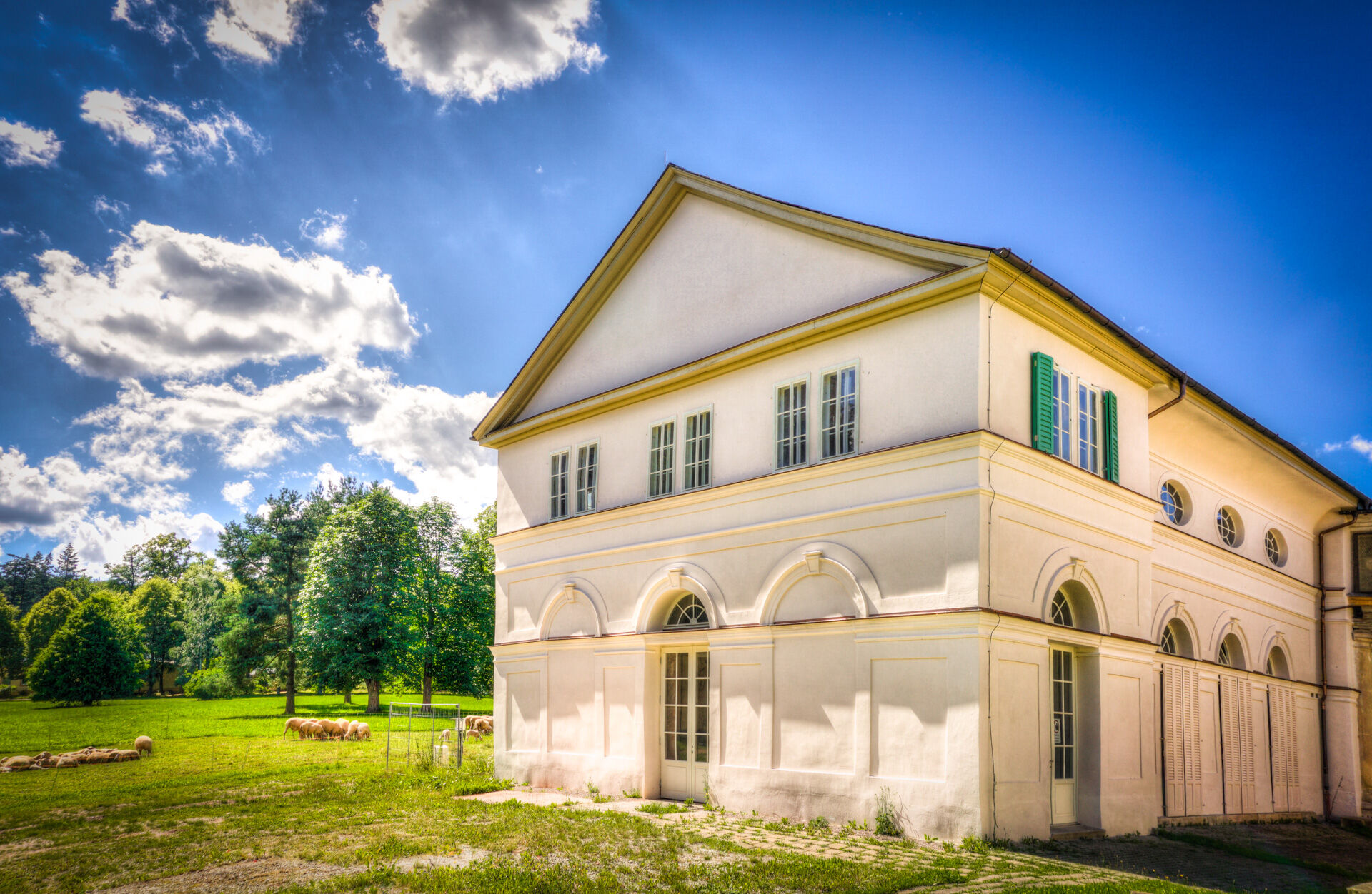
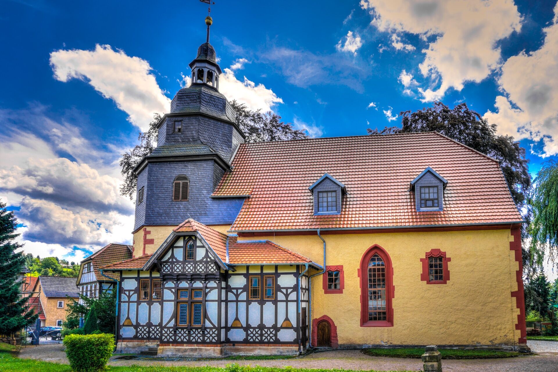
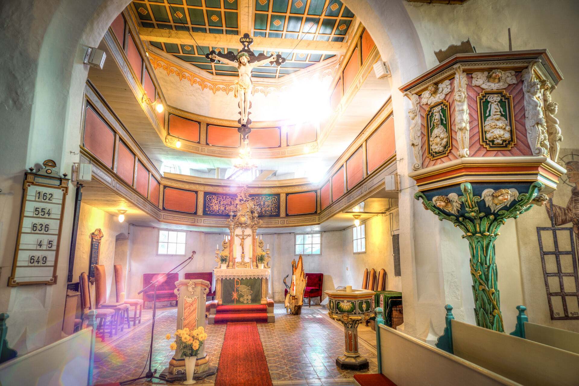
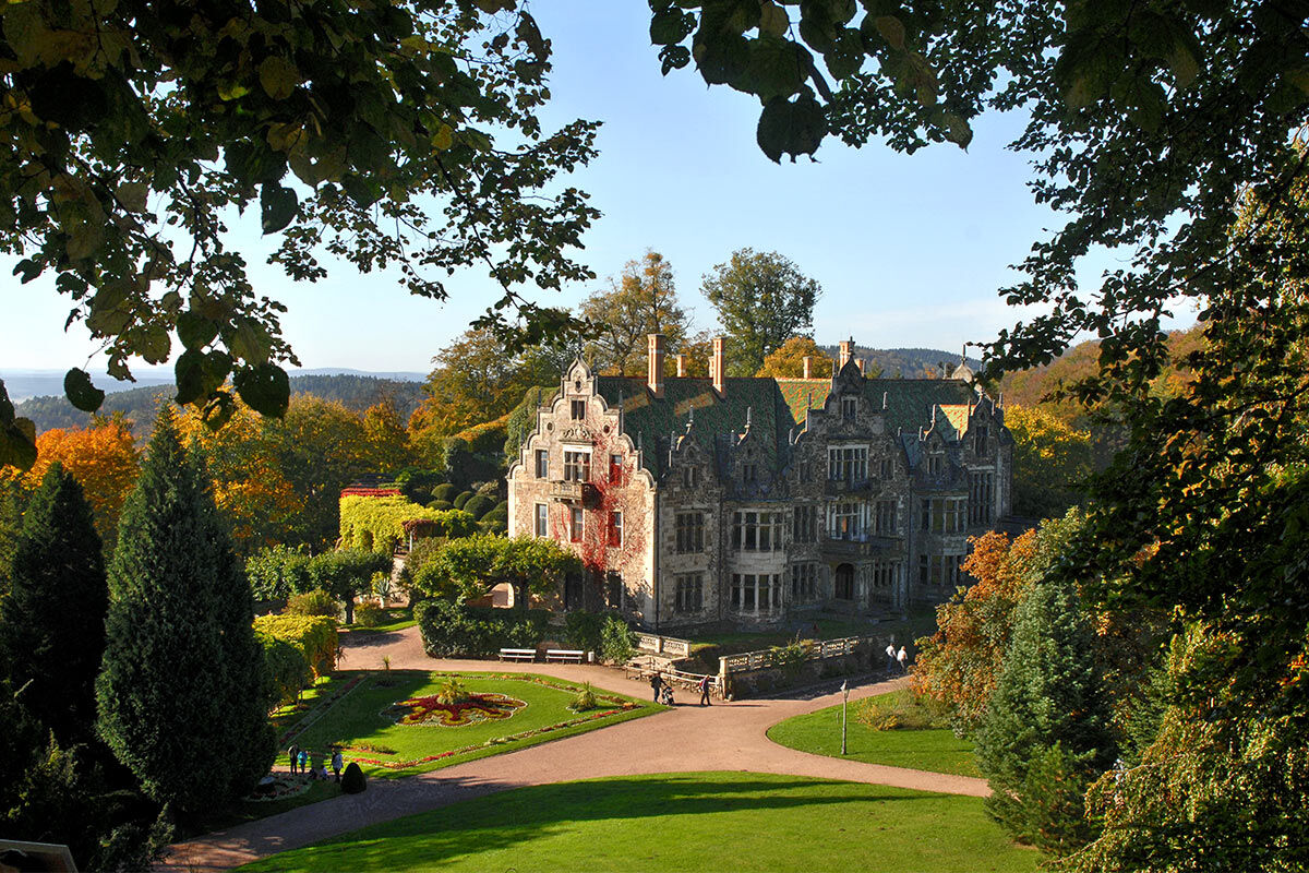
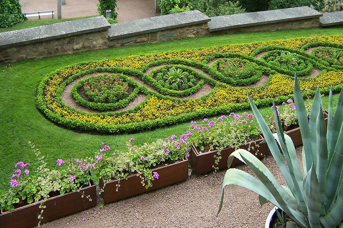
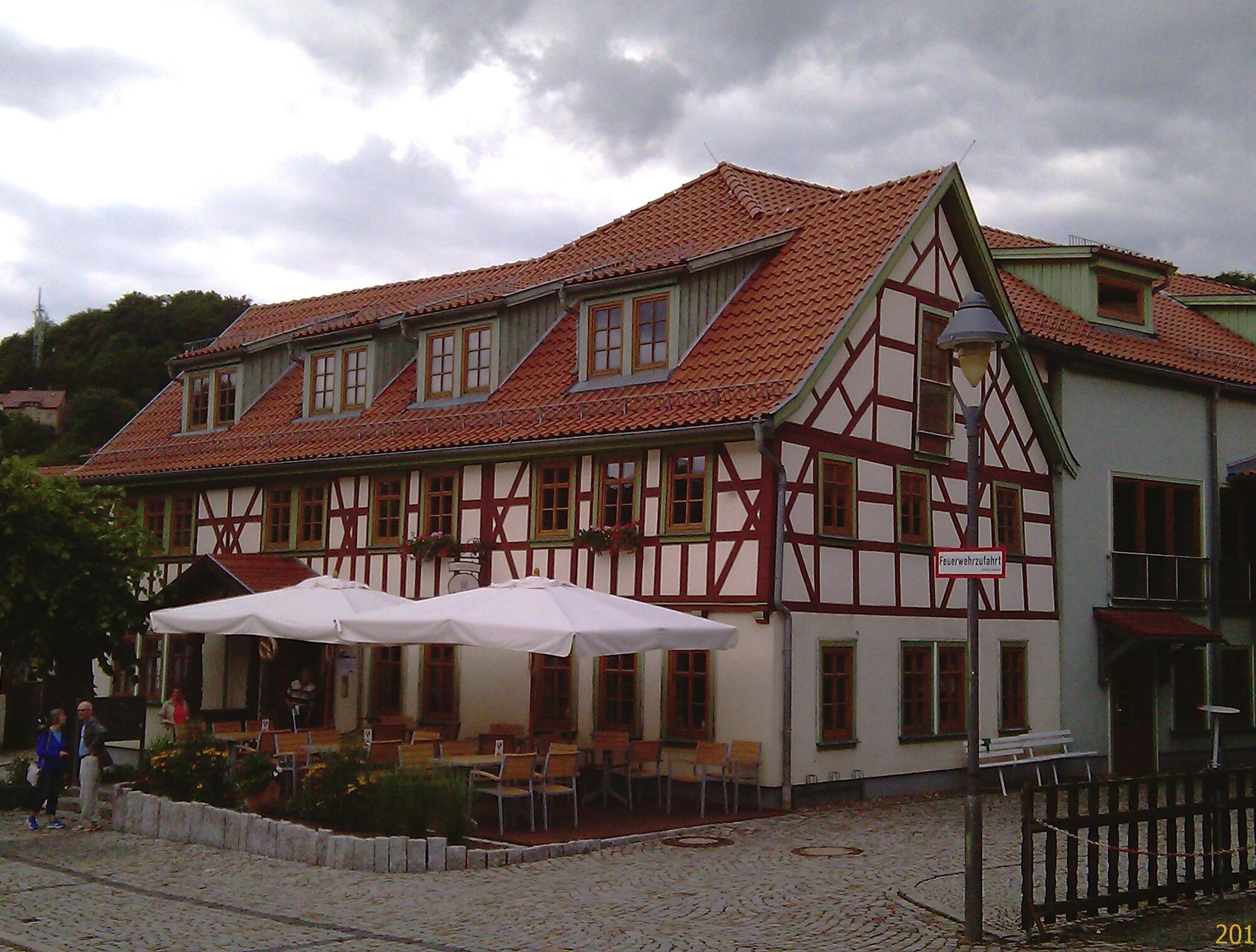
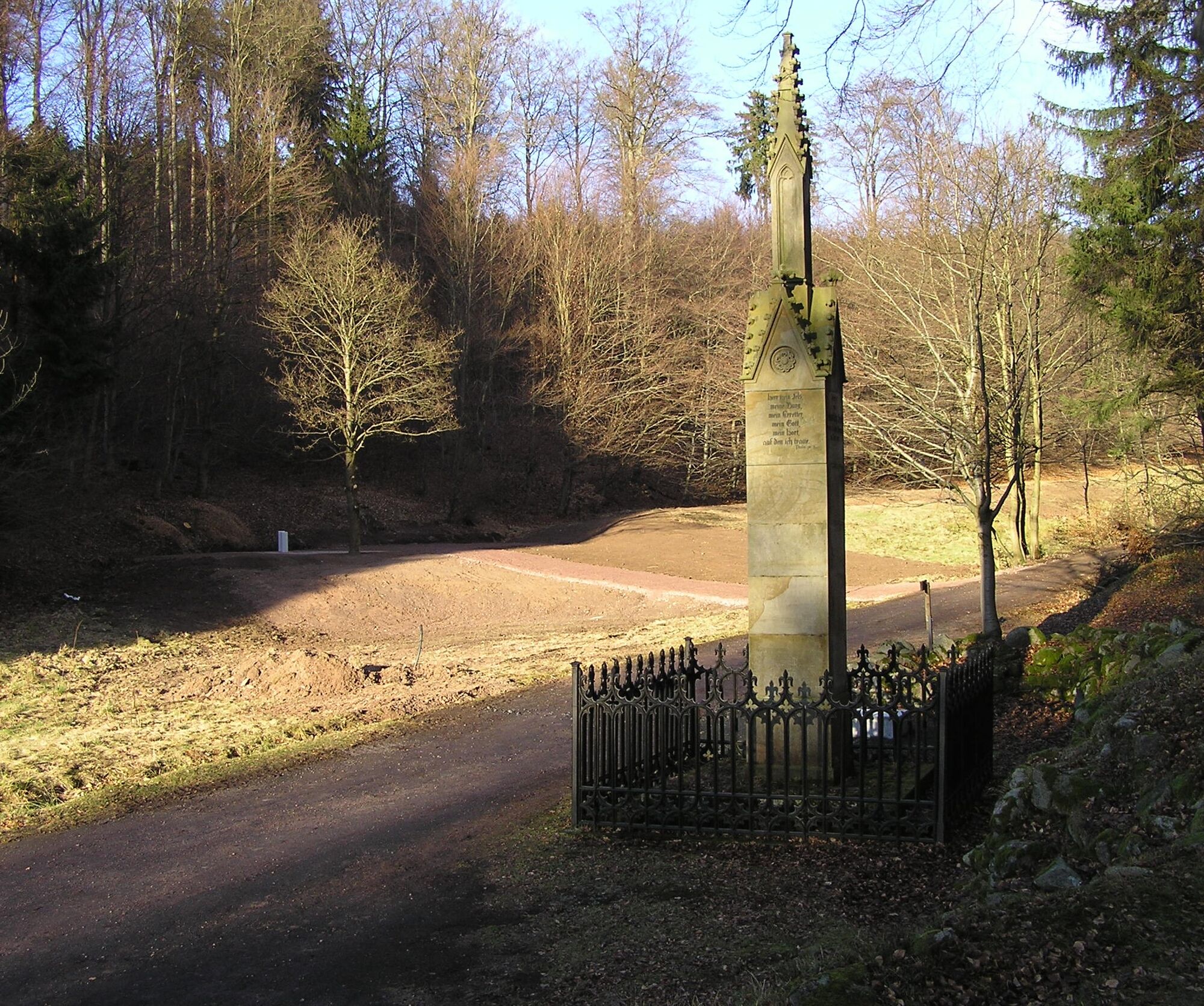
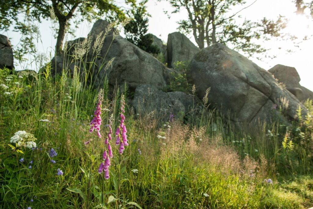
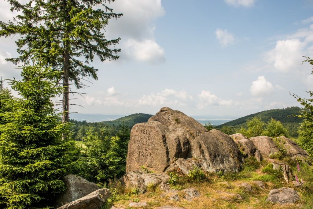

Wartburg - Sängerwiese - Wilde Sau - Hohe Sonne - Wilhelmsthal Castle - Altenberger Lake - Etterwinden - Luther's ancestral home Möhra - Schweina - Altenstein Castle - Steinbach - Luther monument in the Glasbach valley - Glasbachkopf - Schiller beech - Rennsteig - Ruhlaer Häuschen - Ascherbrück (forest inn "Hubertushaus") - Zollstock - Hohe Sonne - Wilde Sau - Sängerwiese - Wartburg
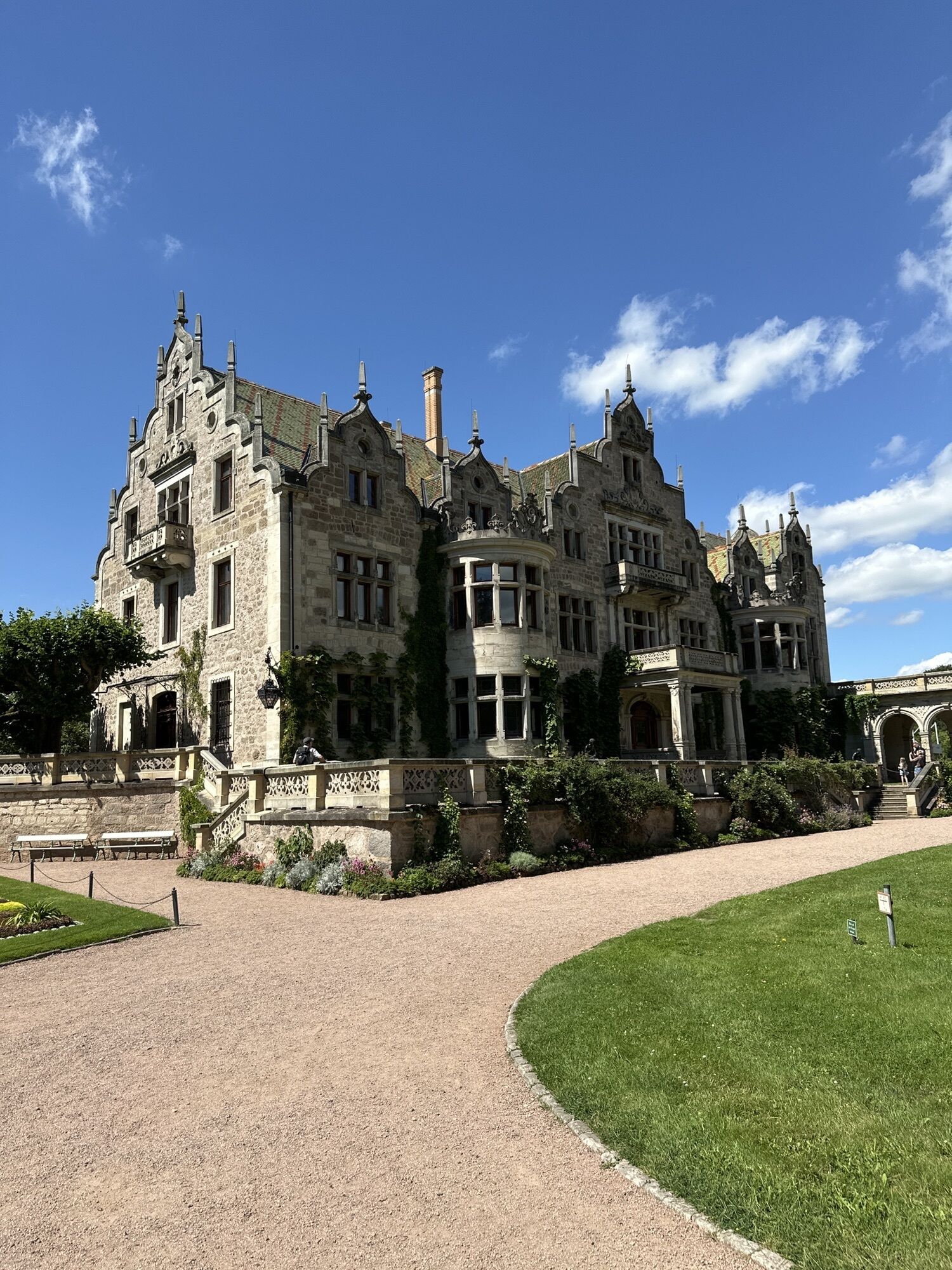
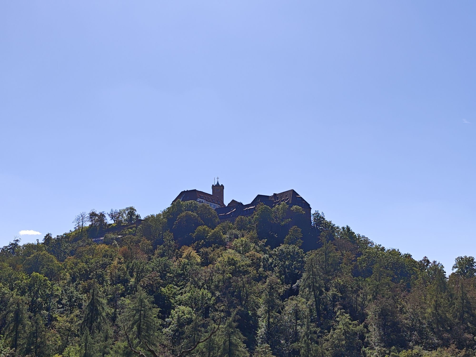
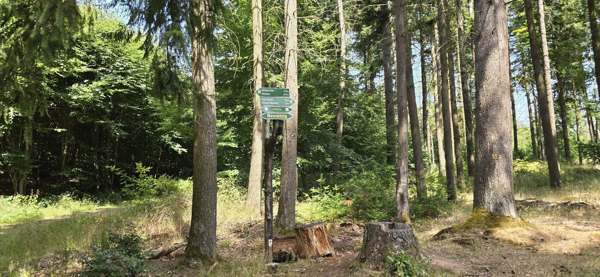
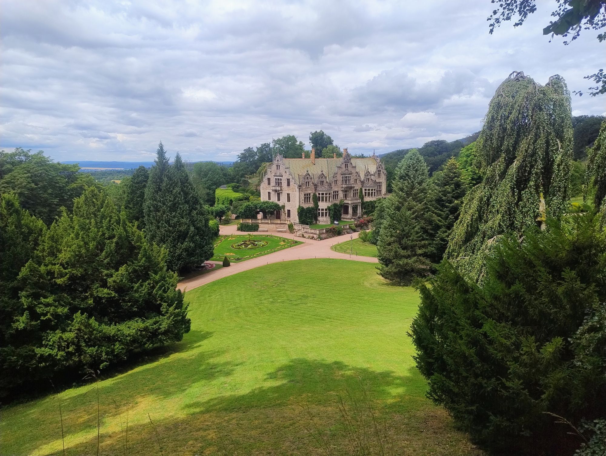
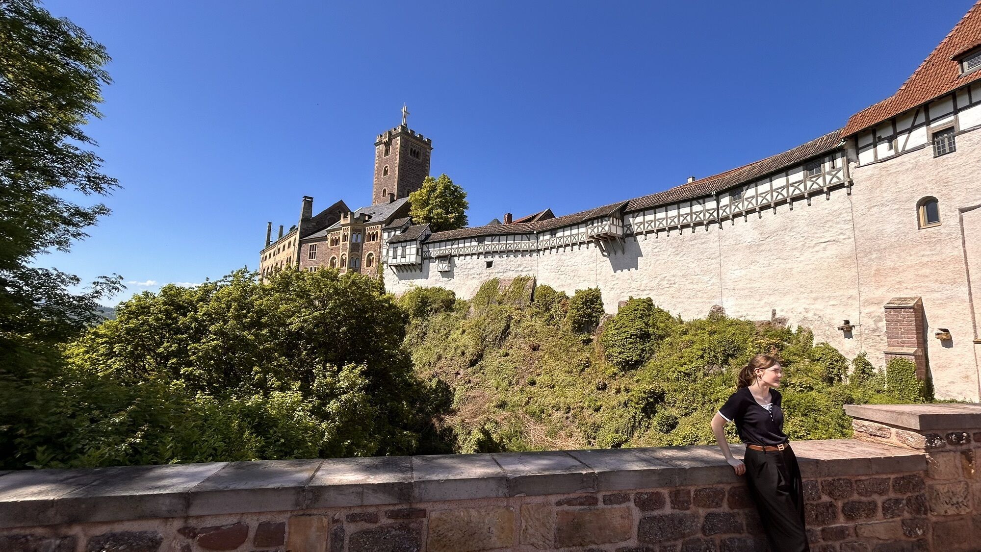
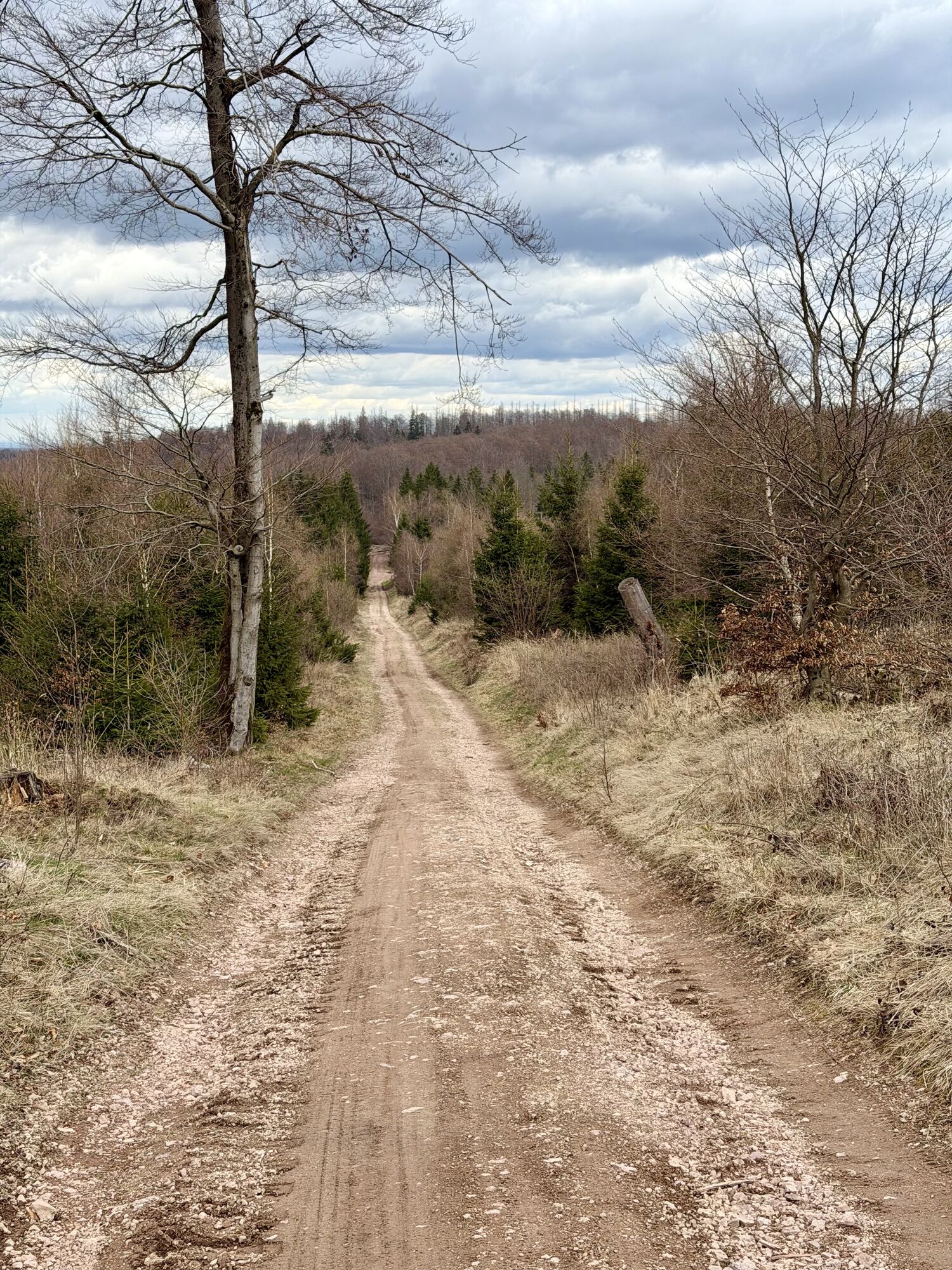
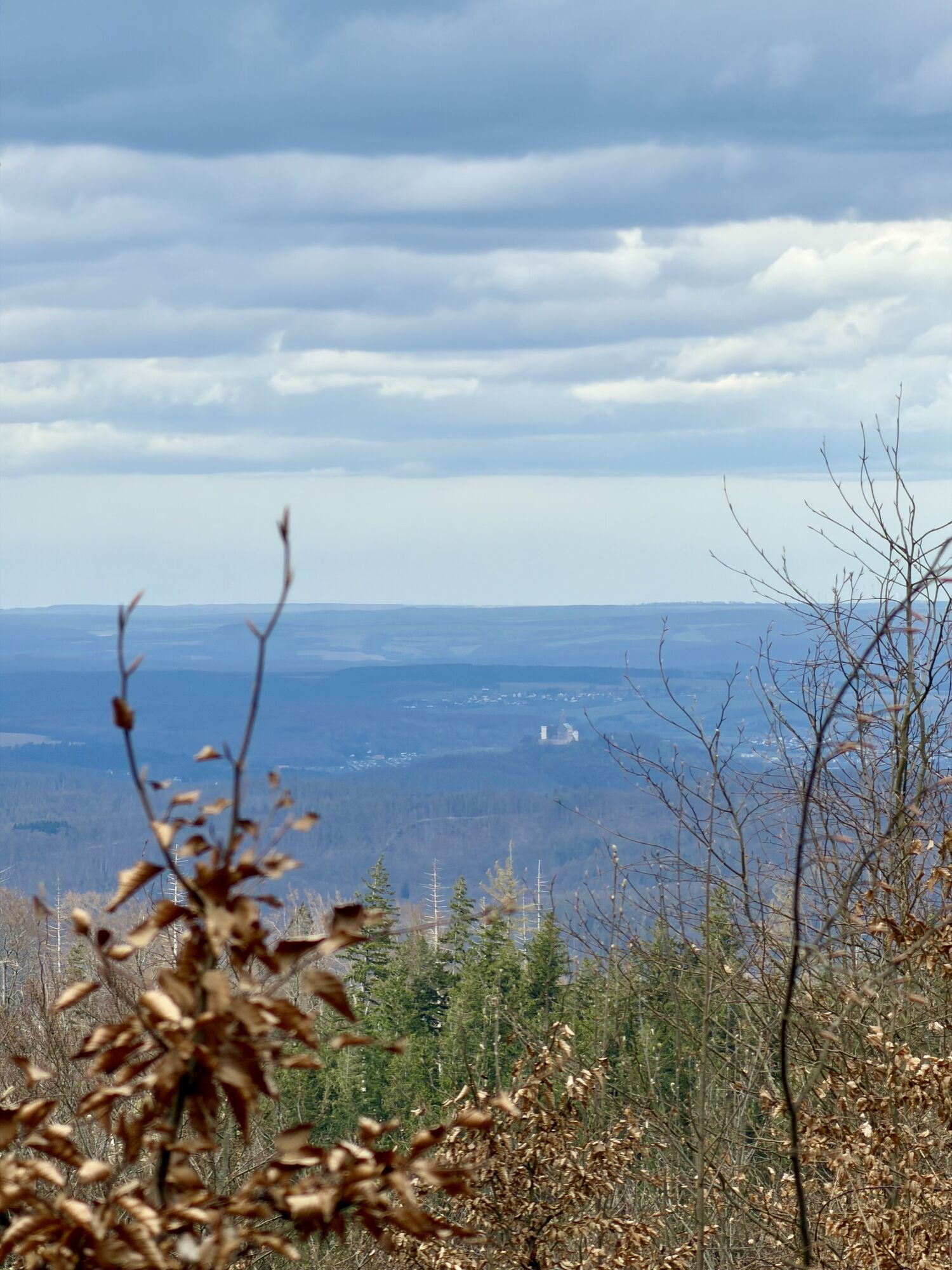
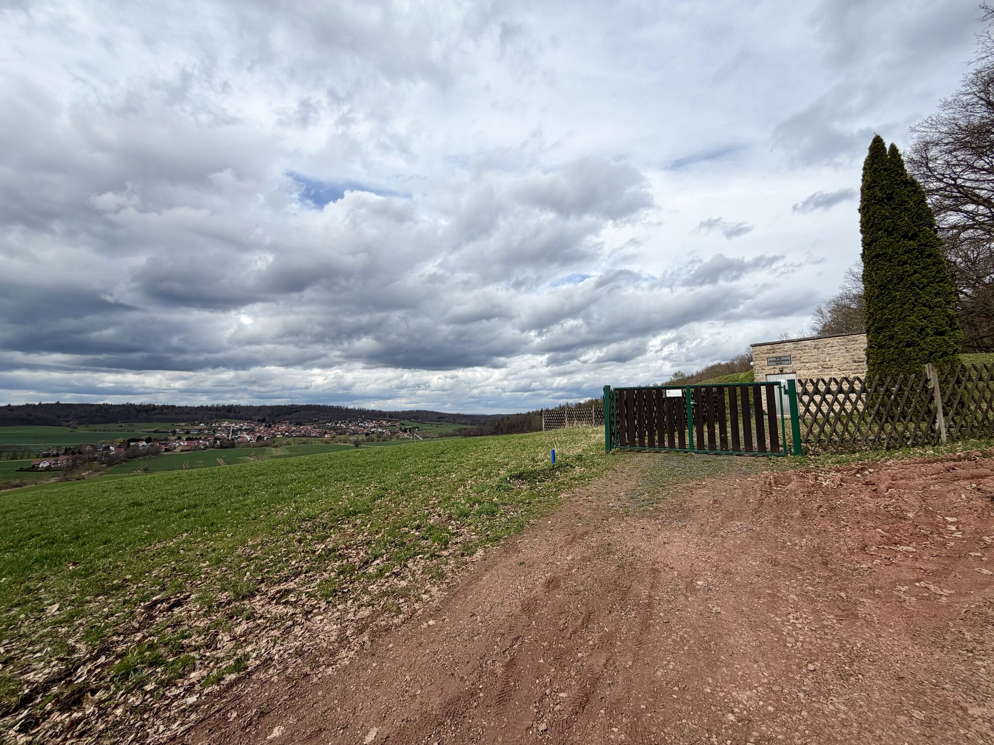
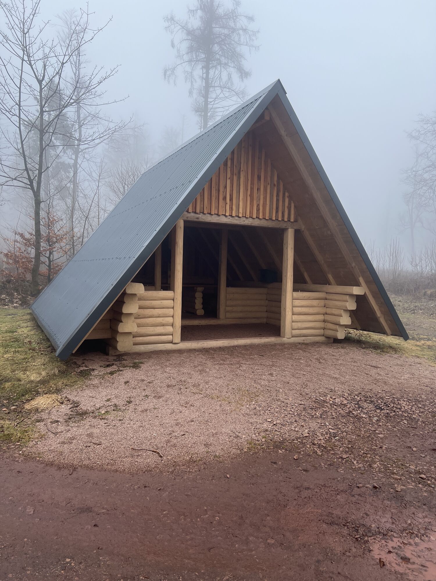
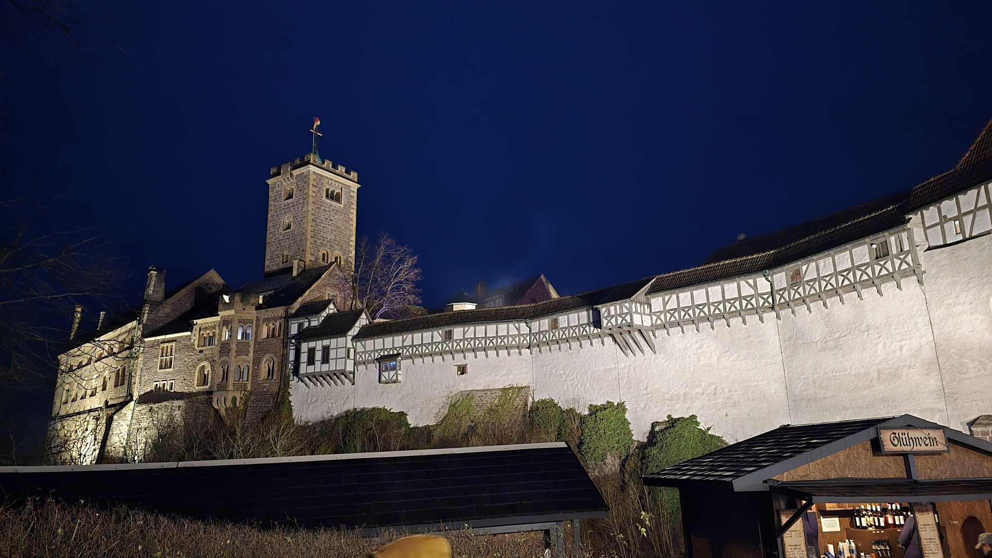
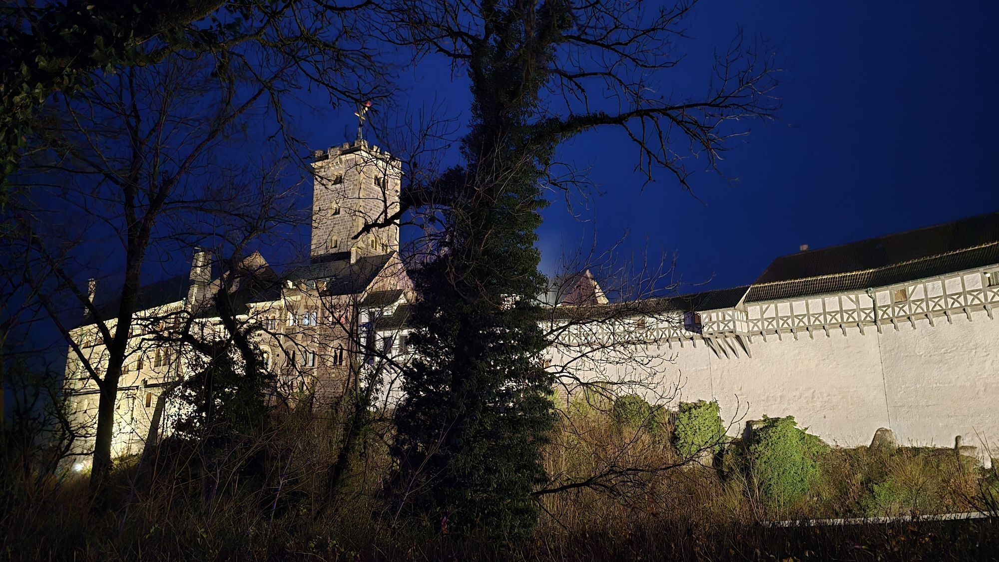
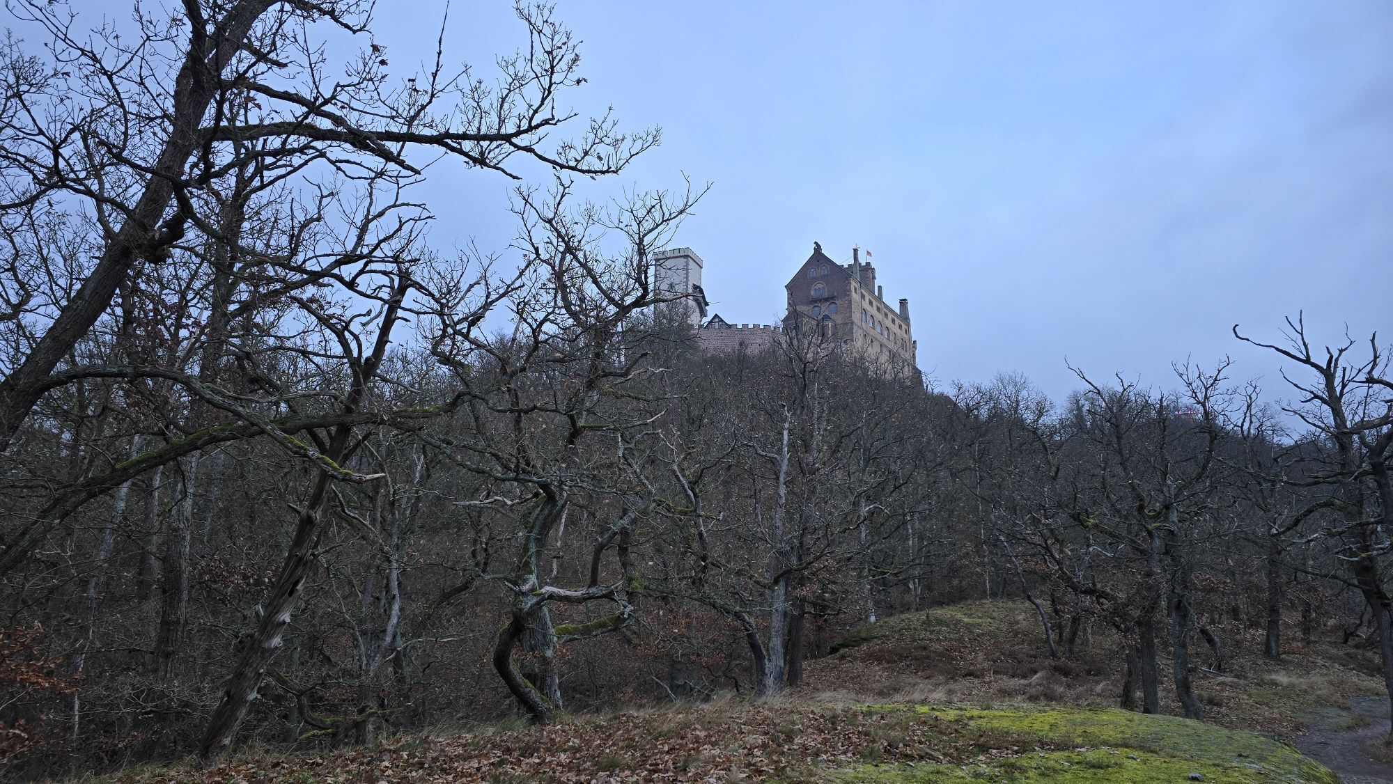
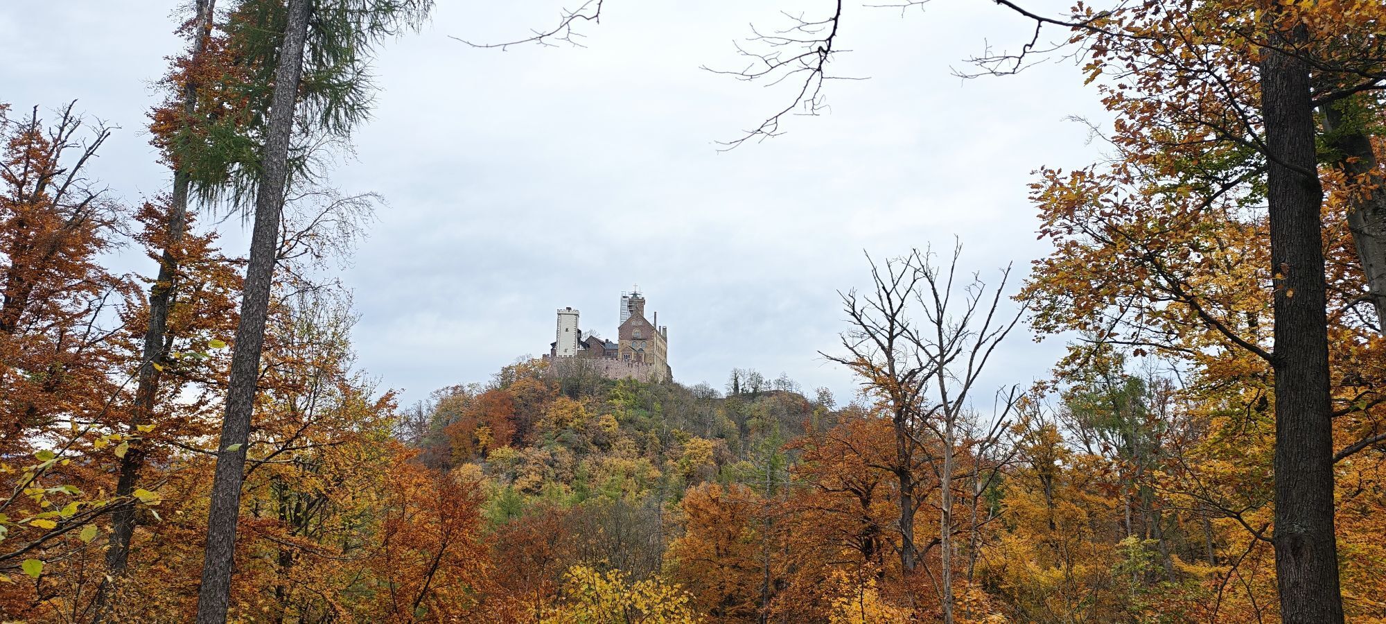
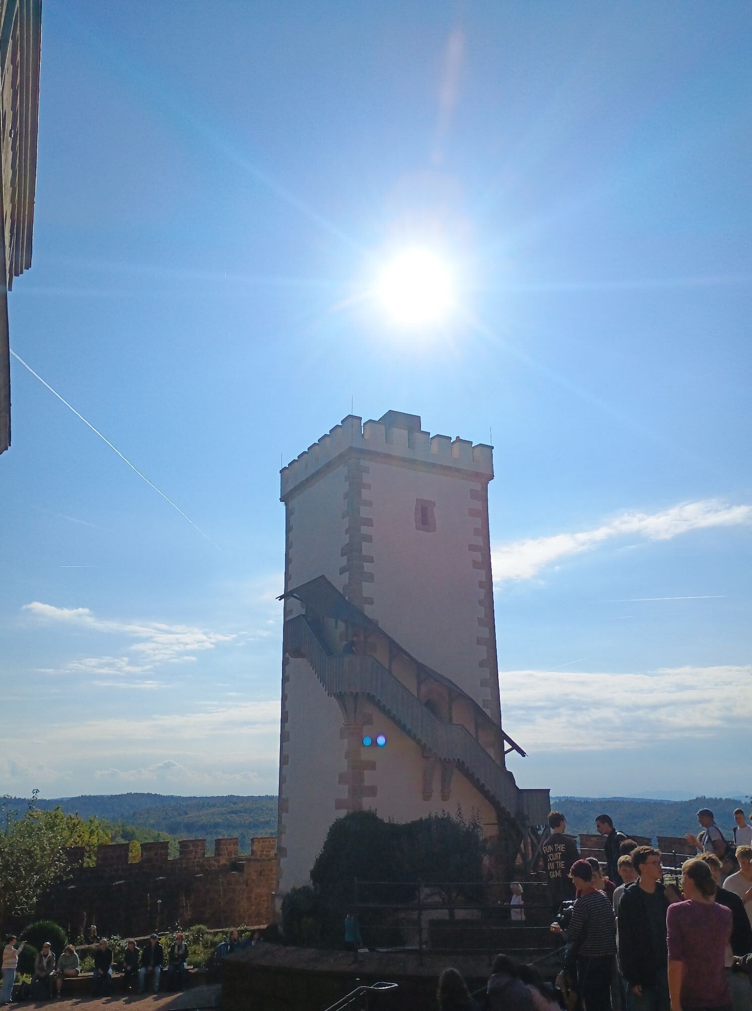
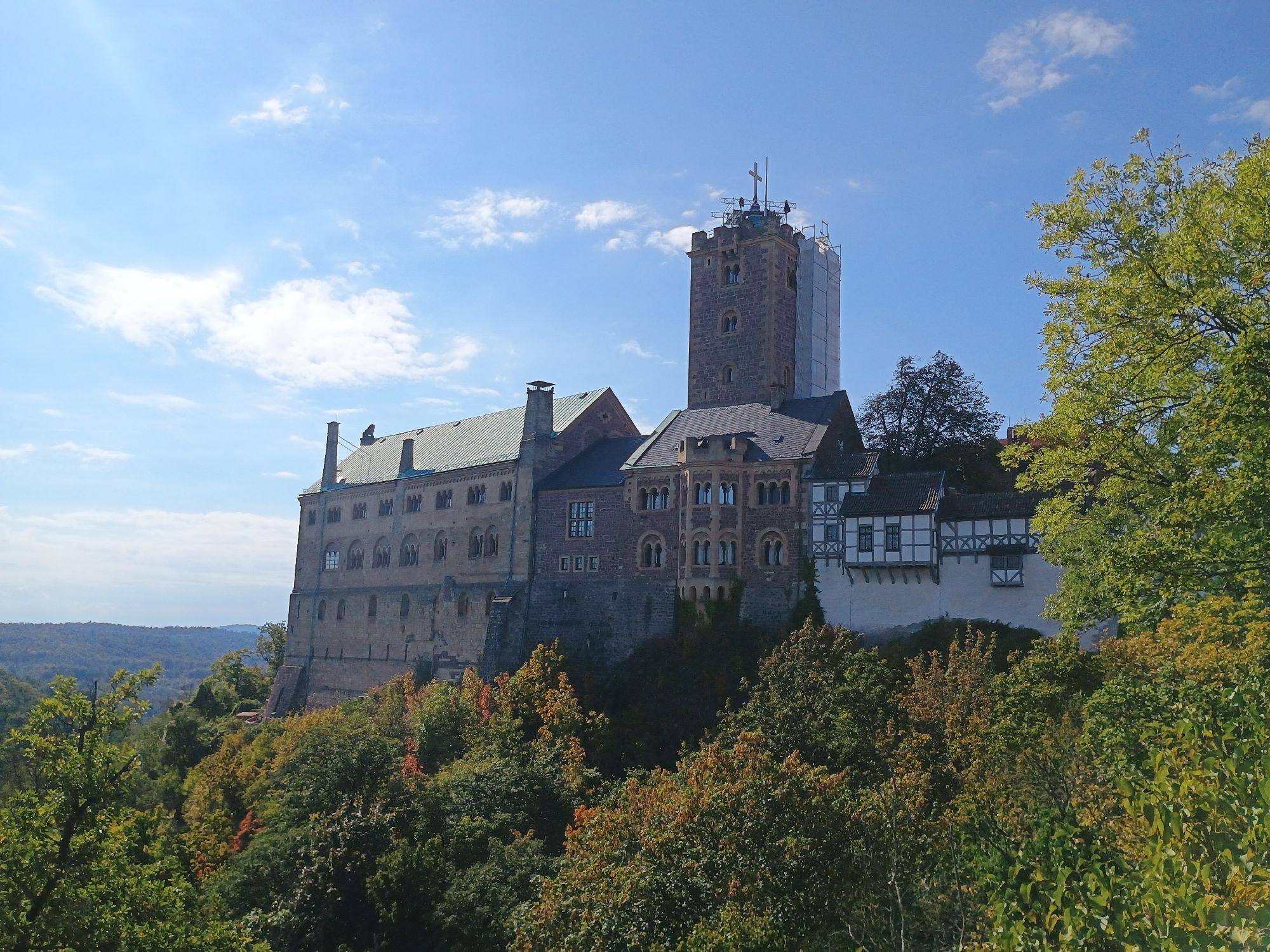
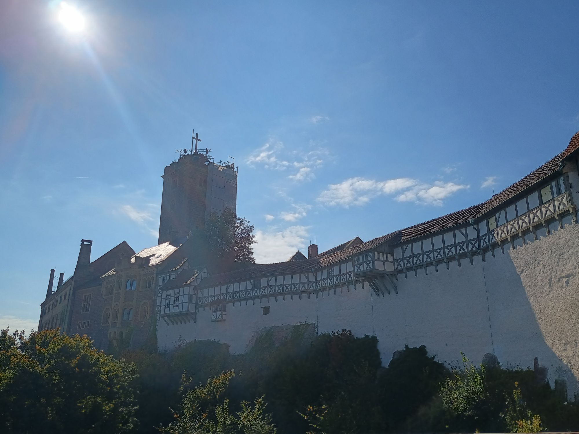
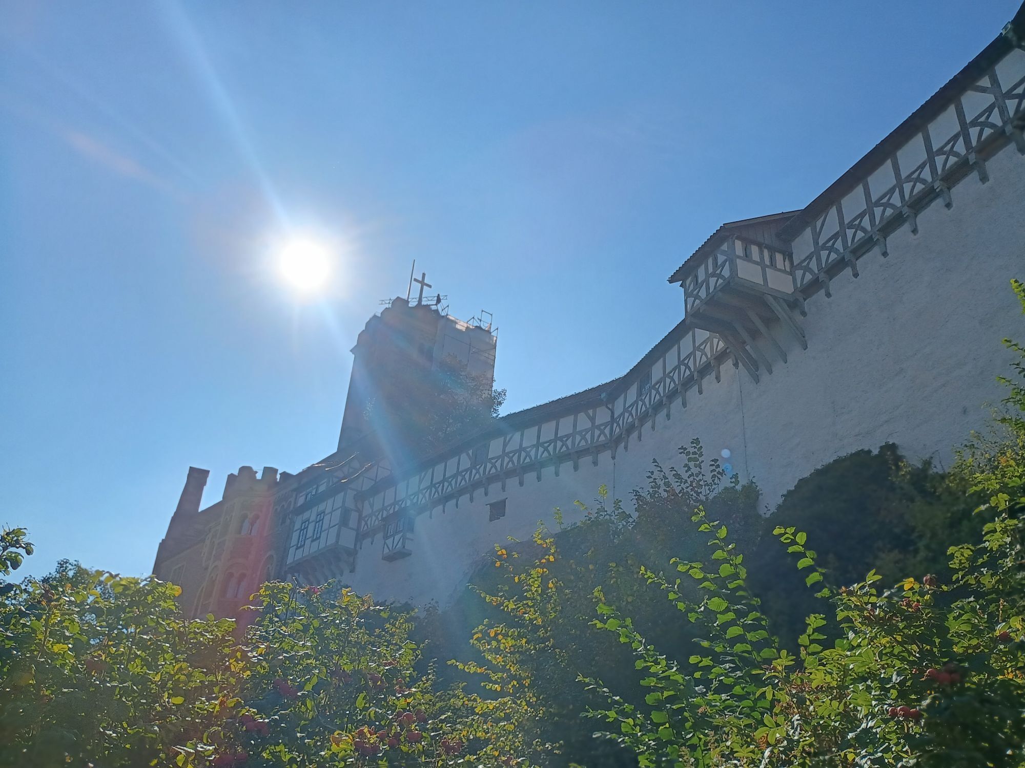
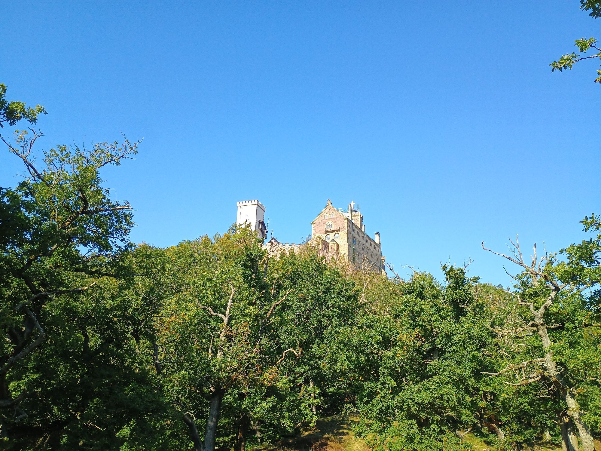
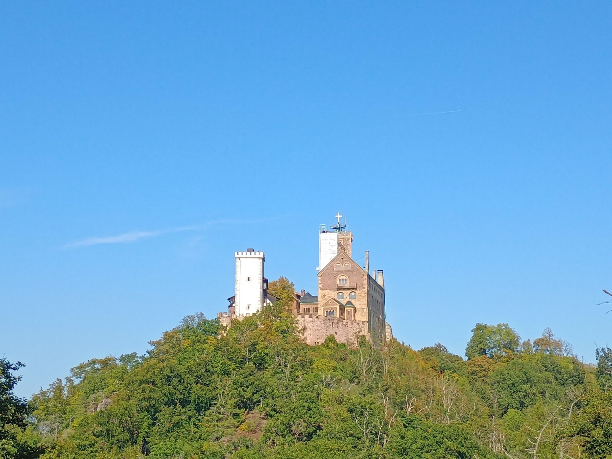
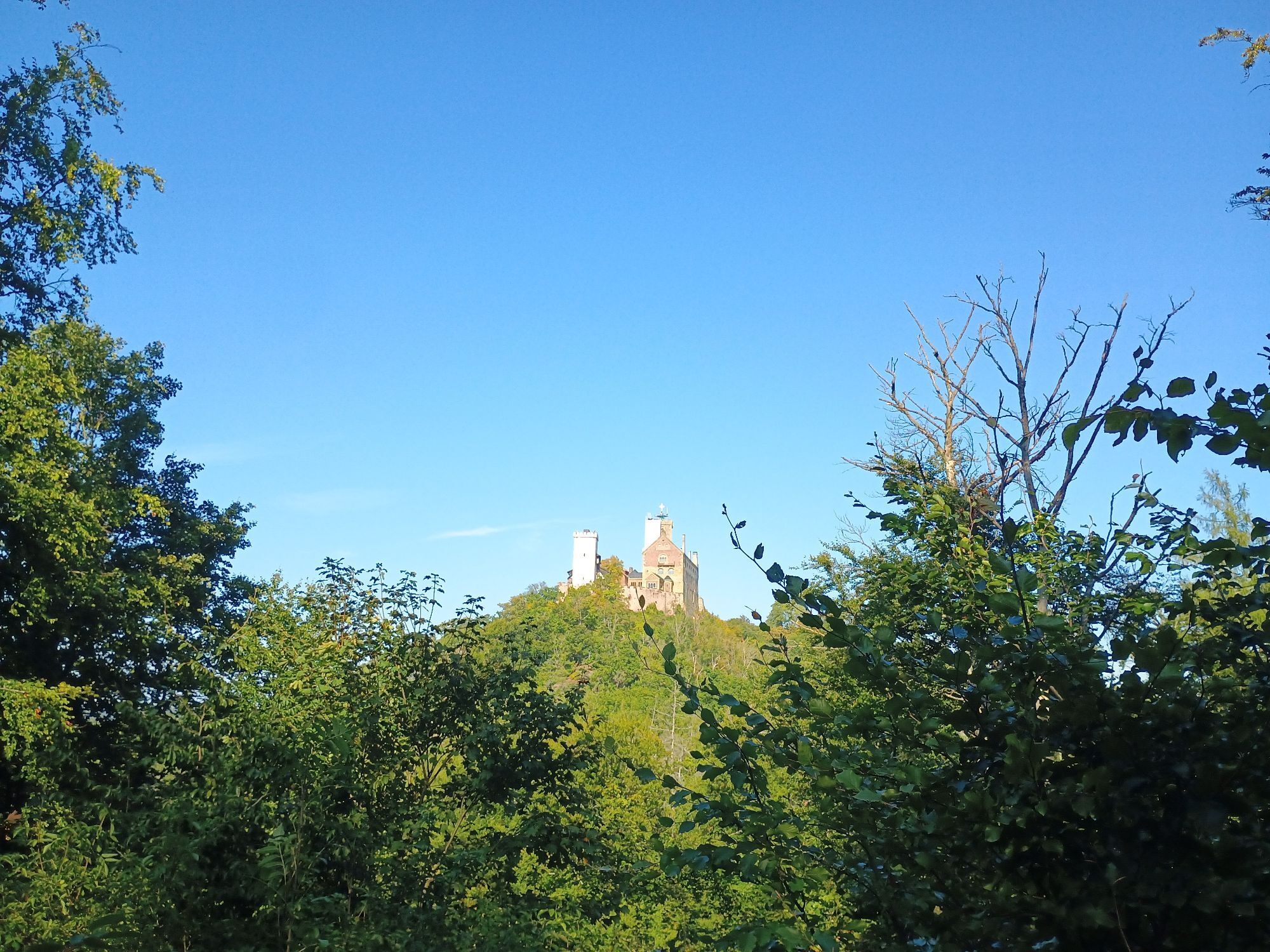
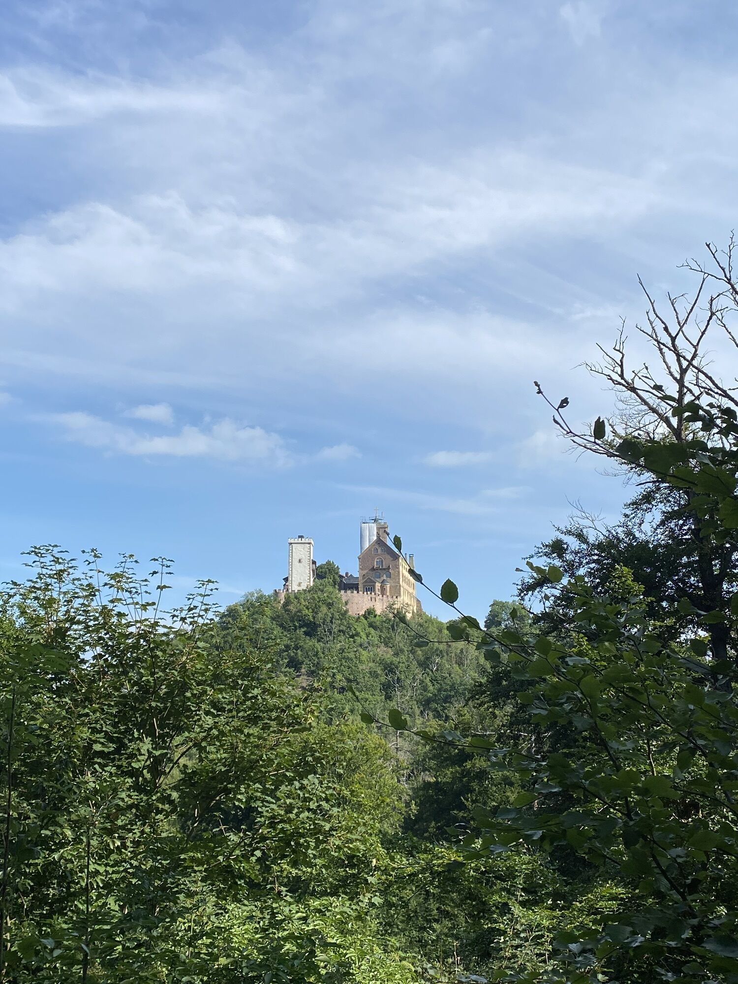
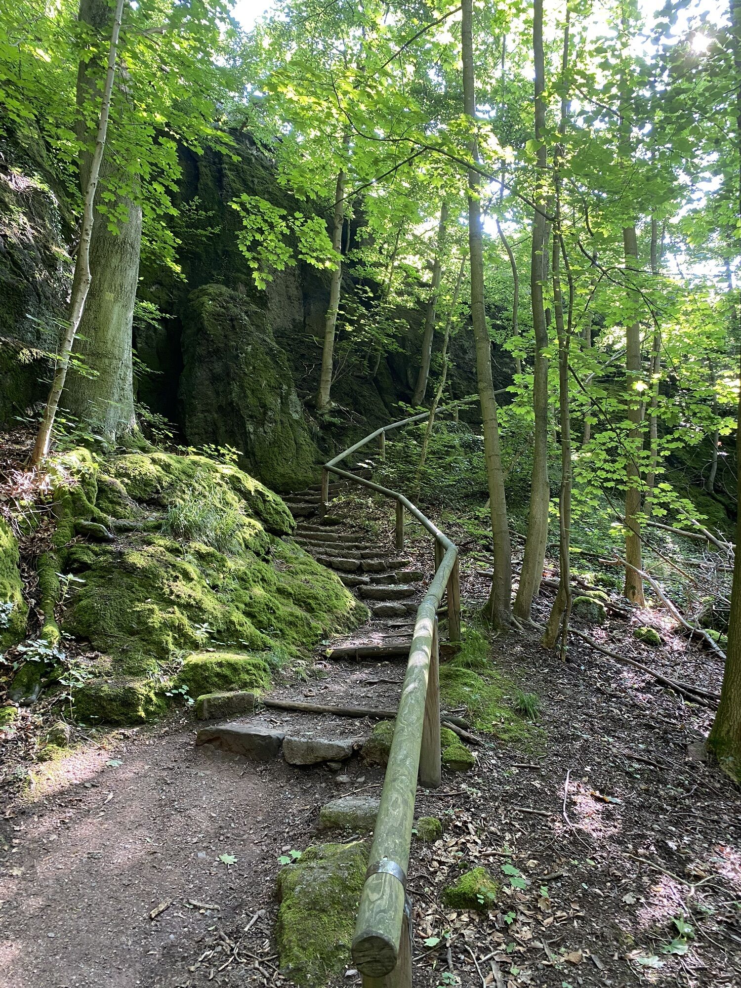
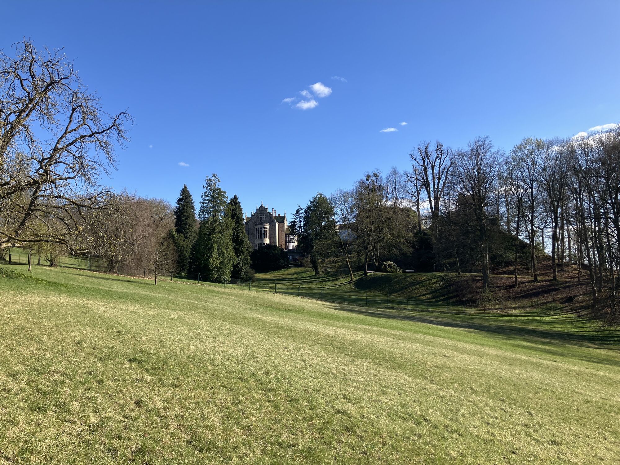
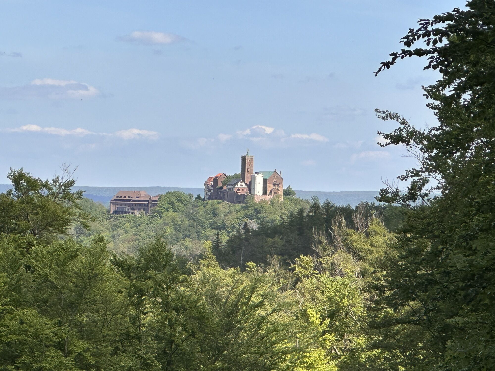
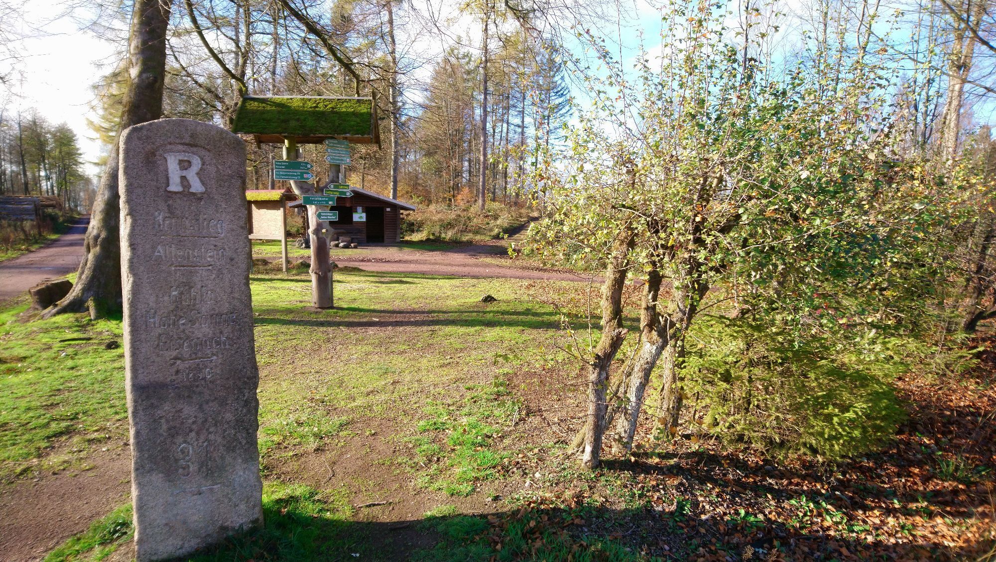
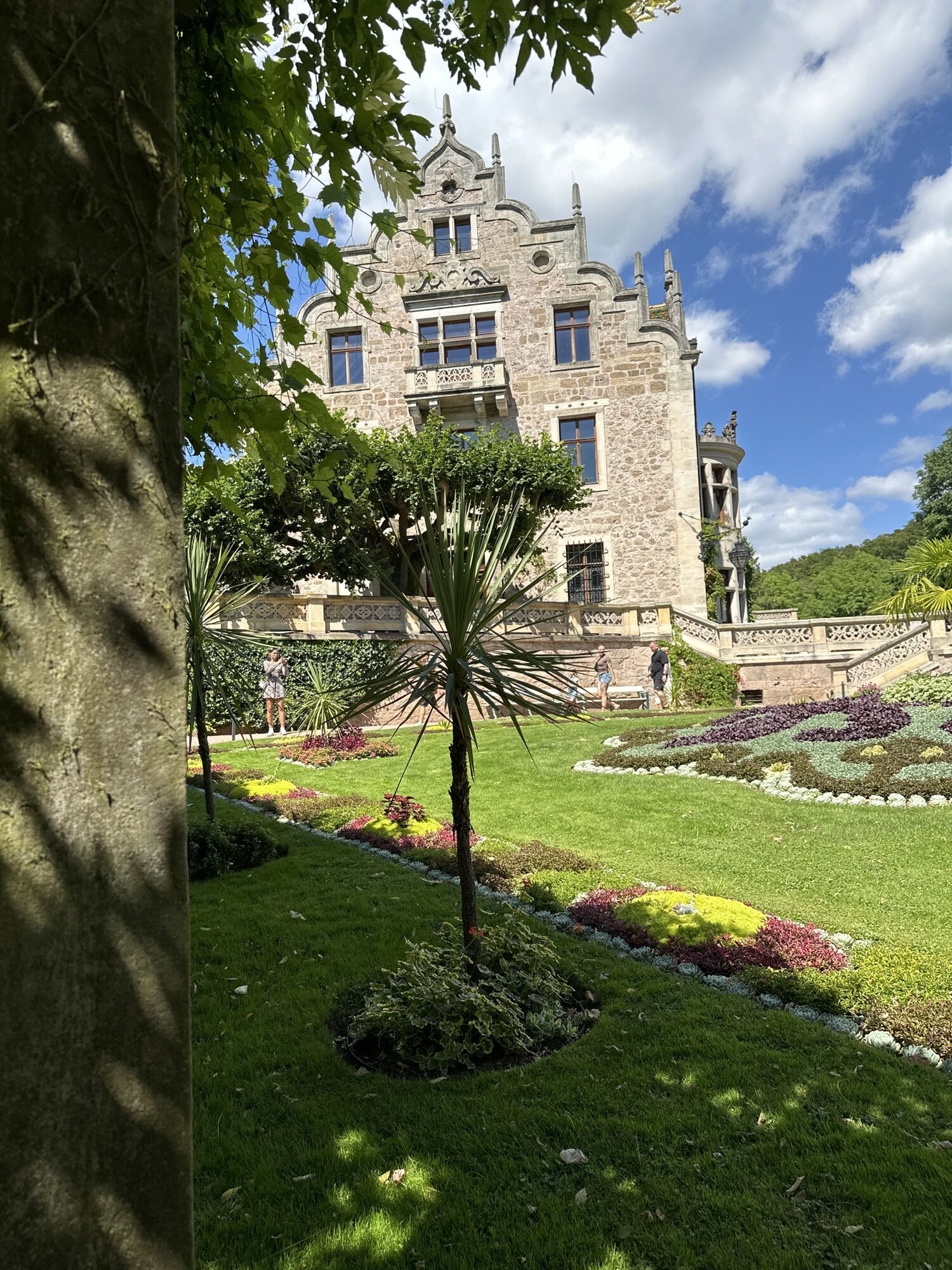
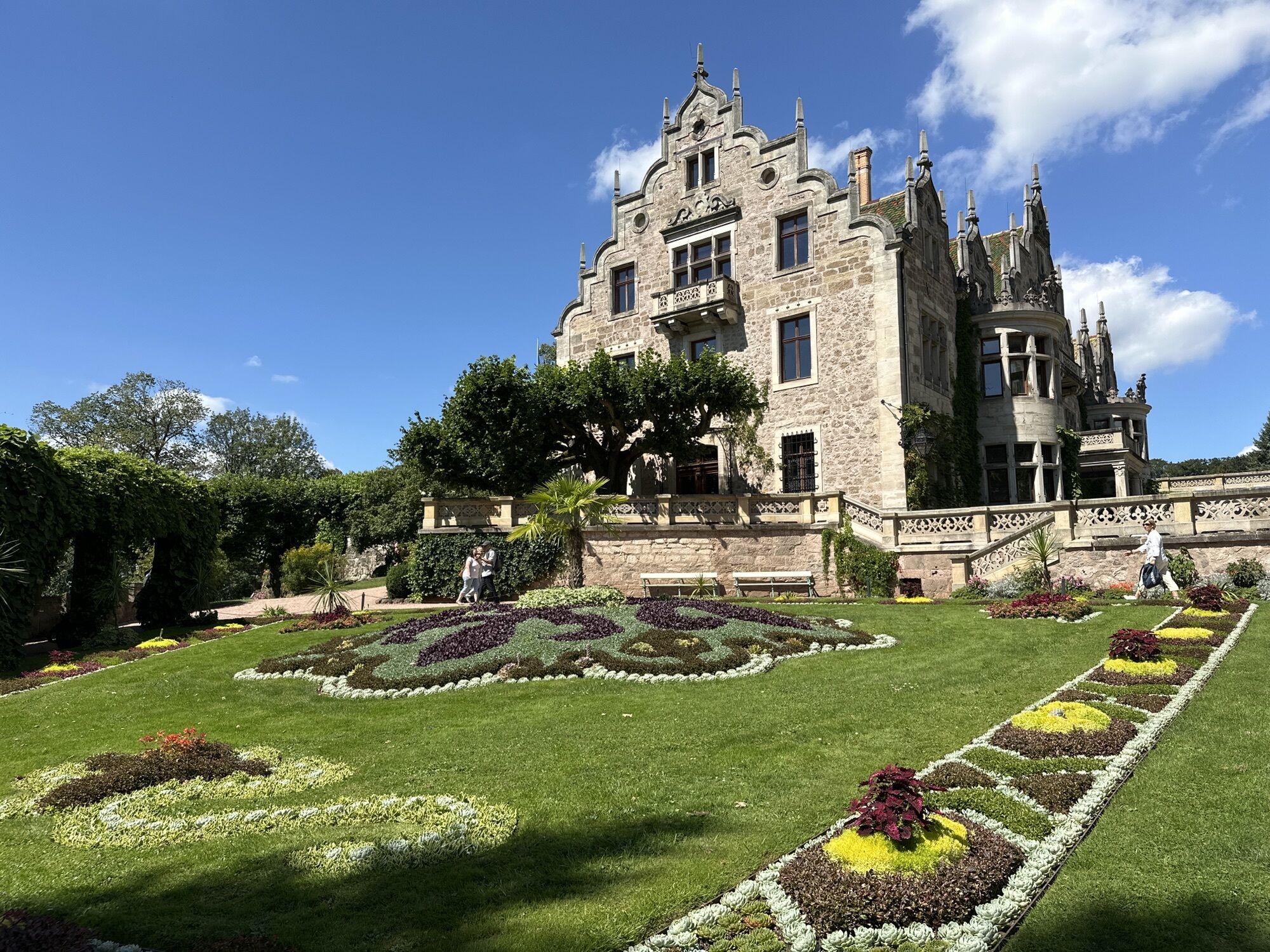
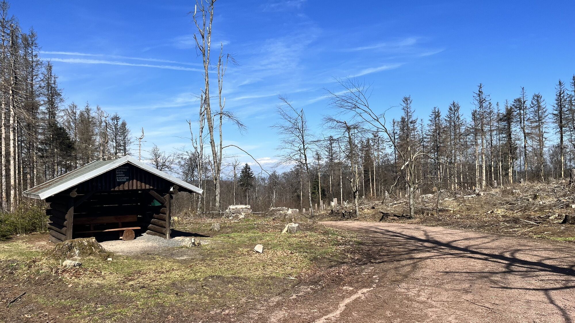
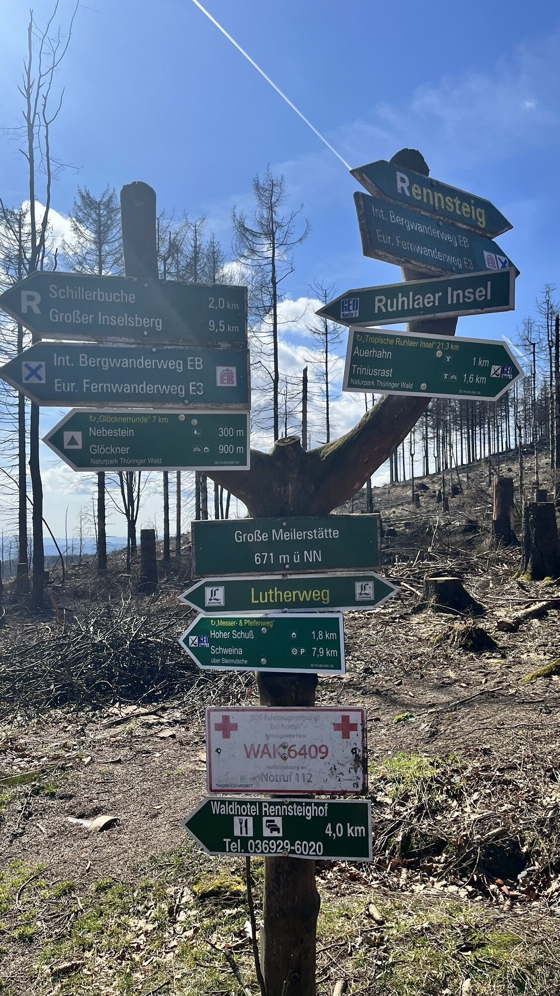
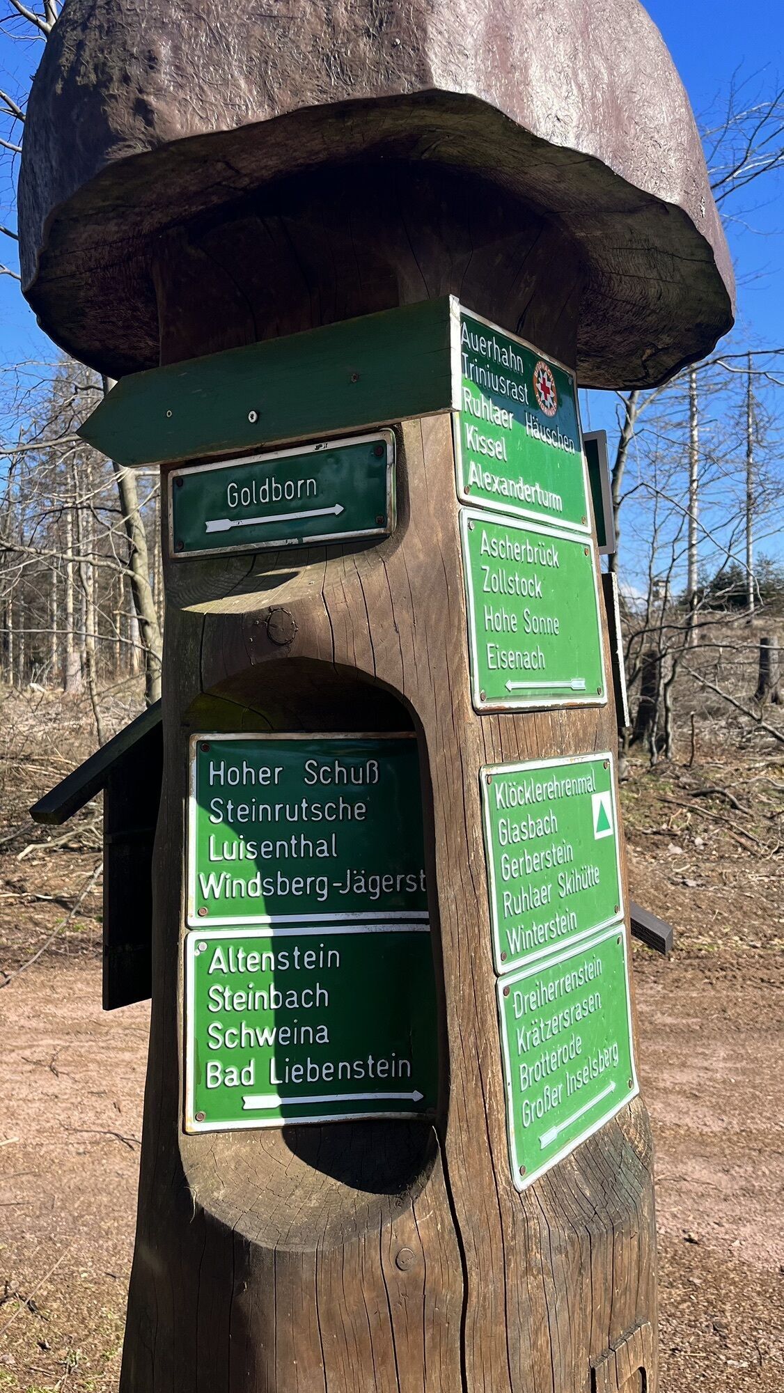
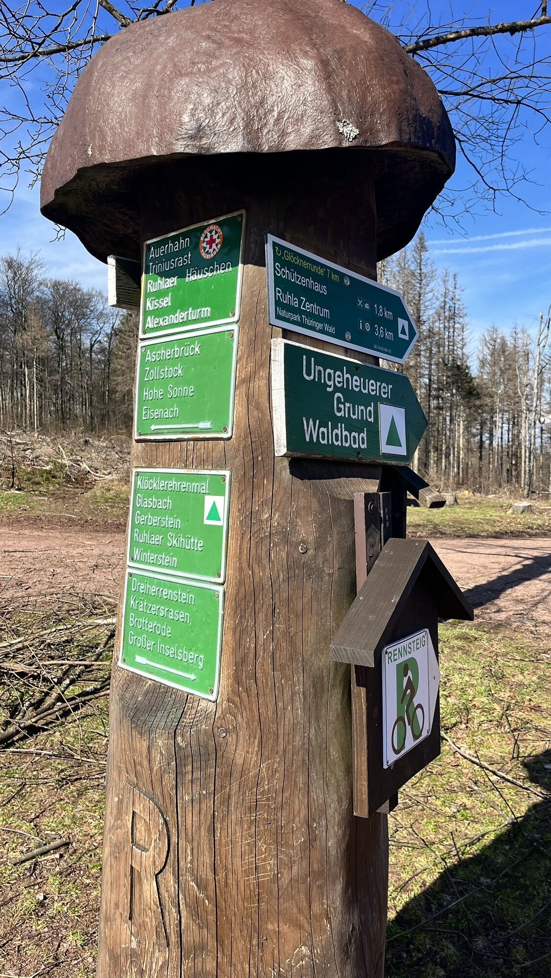
The path begins and ends in the courtyard at the Wartburg near the drawbridge to the entrance gate. Below the drawbridge, the Lutherweg is signposted towards Hohe Sonne - Möhra. It leads (together with the Wartburg trail and Pummpälzweg) below the Wartburg in several zigzags towards the south. At the Wartburg viewpoint, there is a beautiful view of the Wartburg framed by deciduous trees. The Lutherweg continues through the forests south of the Wartburg to the "Waldhaus Sängerwiese" inn. 1.5 km southwest of Sängerwiese you reach the "Wilde Sau" stone cross, a medieval atonement cross at the site of a hunting accident. From there you follow the Rennsteig to "Hohe Sonne", the pass of the Thuringian Forest ridge south of Eisenach. In front of the dilapidated former hunting lodge Hohe Sonne, a forest path branches off to the right leading south, which in about 2 km leads to the park and Wilhelmsthal Castle, a former hunting lodge of the Eisenach and Weimar dukes. Wilhelmsthal park, the castle ensemble and the artificial lake have been under restoration for years. Passing Altenberger Lake (campground with inn), the Lutherweg continues past Etterwinden (inn "Rennsteigblick") to Luther's ancestral home Möhra. Martin Luther visited his relatives in Möhra and preached on the village square in 1521 on the return journey from the Diet of Worms. Almost everything in the pretty village of Möhra is related to Luther: Lutherstraße, Lutherplatz, Luther ancestral house, Luther monument, Luther church with Luther library. Only the small public poultry park Möhra with old, special poultry breeds is without Luther. Behind Möhra, the Lutherweg turns southeast past fields to Gumpelstadt (Moorgrund municipality) and Schweina. 1.2 km through the district Glücksbrunn along Altensteiner Straße, you reach Alte Mark Street, directly to the beautiful Altensteiner Park and finally to the pretty Altenstein Castle, the former summer residence of the Meiningen dukes. On the Lutherweg, it continues east to Steinbach. From there, the Lutherweg follows the Luther valley/Glasbach valley at Kallenbach northwards towards Ruhla/Rennsteig. At the site of the Luther monument in the forest below the Rennsteig, the "kidnapping" of Martin Luther is said to have taken place on May 4, 1521: By order of Frederick the Wise (territorial lord of Saxony-Thuringia), armed riders stopped the travel coach, took Martin Luther with them and brought him to the Wartburg as asylum, where he lived for 10 months as Junker Jörg. Due to papal excommunication and the imperial ban of Emperor Charles V from the Diet of Worms, Martin Luther was an outlaw because of his evangelical teachings and thus in mortal danger. During his stay at the Wartburg, Martin Luther translated the New Testament from the Greek original into German. The Lutherweg continues uphill to the deserted village of Glasbach, where it reaches the Rennsteig (pilgrimage on the Rennsteig). From the Glasbachstein fork at Glasbach meadow, the route follows the Rennsteig past viewpoints and shelters back to Hohe Sonne. At Ascherbrück, you reach the Hubertushaus forest inn on the road to Ruhla. The Rennsteig continues north through the Thuringian Forest to Hohe Sonne. For the return to the Wartburg, you can take the same route as the outward journey or choose another of the many hiking trails in the forests and ravines south of the Wartburg (e.g. through the Drachenschlucht).
Tak
Coming from the A4 take exit 40a (Eisenach-East). Then continue on B84 towards Eisenach until the "Eisenach-Oststadt" junction. Continue straight on B19 to the station and further south through the city. Continue following B19 towards Wilhelmstahl / Etterwinden and Bad Salzungen. Follow the road for about 4 km to "Hohe Sonne".
CAUTION: The Mariental is a popular excursion destination, especially on weekends many day-trippers visit the region. Please do NOT park along the heavily trafficked federal road when parking lots are full. Therefore, travel by public transport is recommended.
Use the Deutsche Bahn journey planner. This portal also lists all regional transport providers.
The start and end of the route at the Wartburg can be reached by Eisenach bus line 3 "Luthershuttle". Link to public transport
Parking:
Hohe Sonne
P+R parking at Phantasie
P+R parking Liliengrund
Wartburg in Eisenach
Be sure to visit the small Luther church in Möhra

Popularne wycieczki w okolicy
-
5,0
EA1 - Circular route - Gorge tour near Eisenach - Thuringian Forest
średniWędrówka 9,68 km -
4,6
Summit and panoramic route - Route 1 - Bad Tabarz
średniWędrówka 10,9 km -
5,0
Wartburg und Drachenschlucht
średniWędrówka 15,1 km -
4,7
IVV PW + GTW "In Luther's footsteps - Luther, dragons, landgraves, rose miracle..."
średniWędrówka 15,8 km -
3,8
Wanderung zum Spitterfall
średniWędrówka 14,6 km -
4,8
Hike - "Rennsteig-Leiter Eisenach" Thuringian Forest
średniWędrówka 3,58 km -
5,0
Trasa okrężna 3 - Mariental/Smoczy Wąwóz/Grotta Elfów
średniWędrówka 3,54 km -
Tabarzer Vulkansteig
średniWędrówka 9,91 km -
4,4
Circular hiking trail - "Trusetal Landmark Route" - Thuringian Forest
światłoWędrówka 4,02 km -
4,8
Inselsberg tour - Tour 2 - Bad Tabarz
ciężkiWędrówka 15,1 km
Wędrówki i tropienie


Nie przegap ofert i inspiracji na następne wakacje
Twój adres e-mail została dodana do listy mailingowej.





