


Panoramaweg Schwarzatal - 4th stage Scheibe-Alsbach to Goldisthal - Thuringian Forest
Poziom trudności: T2
Zdjęcia naszych użytkowników
-

 © Norbert HerbigUtworzono dnia 01.11.2024
 -
 © Norbert HerbigUtworzono dnia 01.11.2024
 -
 © Norbert HerbigUtworzono dnia 01.11.2024
 -
 © Norbert HerbigUtworzono dnia 01.11.2024
 -
 © Norbert HerbigUtworzono dnia 01.11.2024
 -
 © Johannes PüschnerUtworzono dnia 04.05.2024
 -
 © Johannes PüschnerUtworzono dnia 04.05.2024


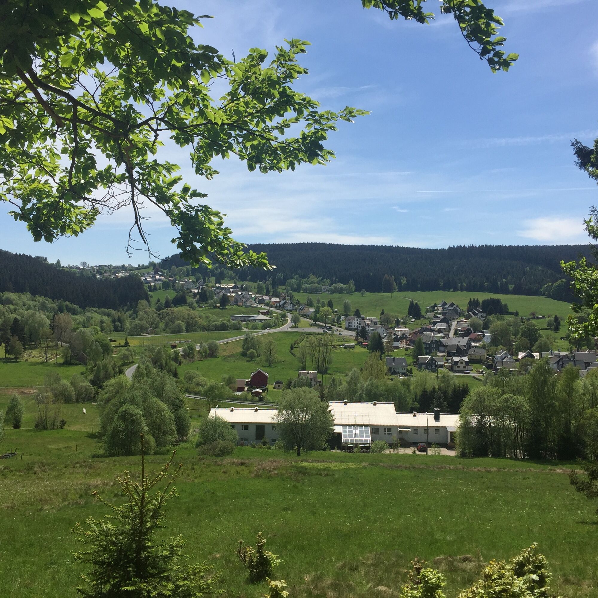
Your route starts in the small peaceful village Scheibe-Alsbach. After a few steps you reach the first great viewpoint over the valley and the village. Shortly afterwards, you reach the Scheibe-Alsbach...
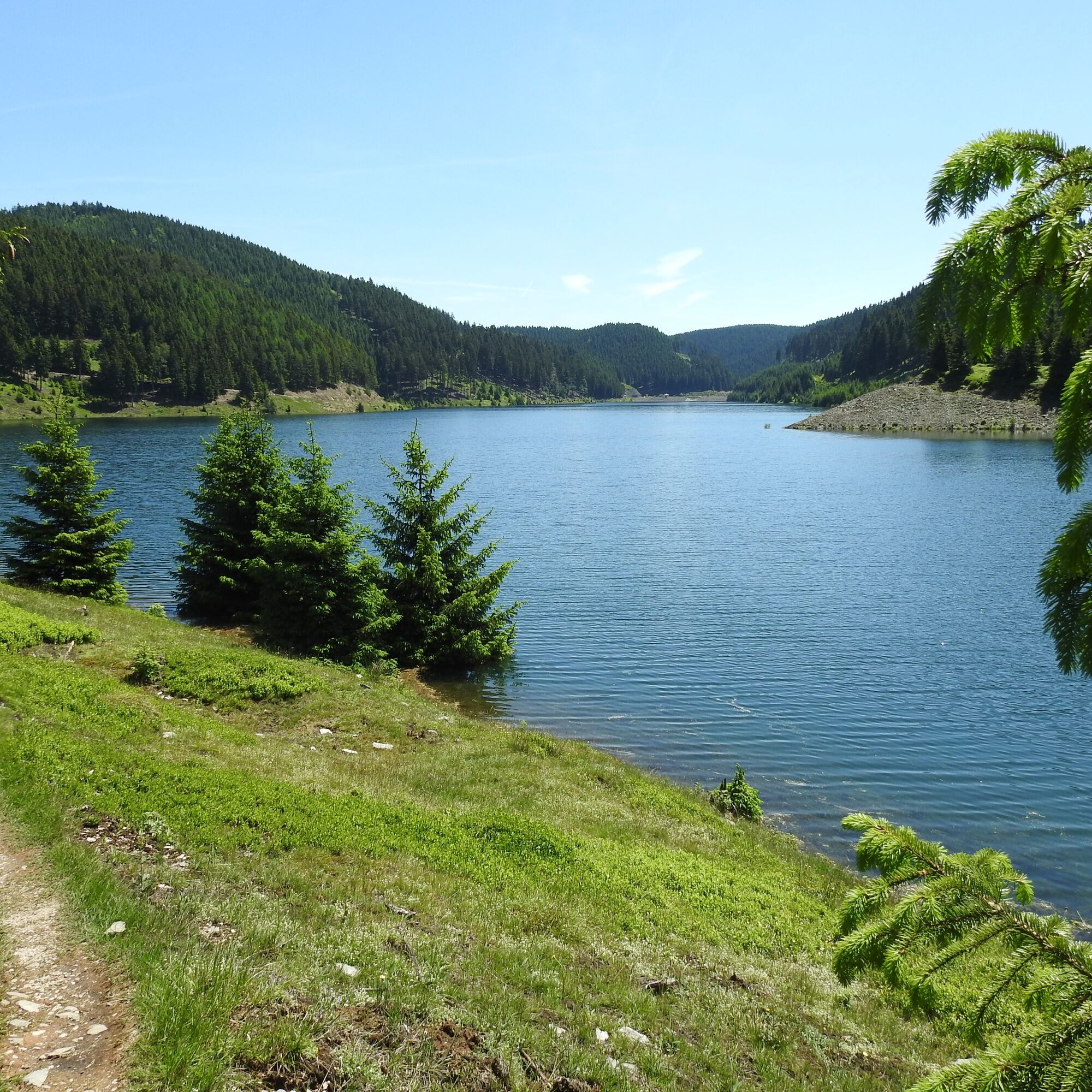
Your route starts in the small peaceful village Scheibe-Alsbach. After a few steps you reach the first great viewpoint over the valley and the village. Shortly afterwards, you reach the Scheibe-Alsbach reservoir.
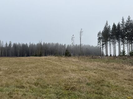
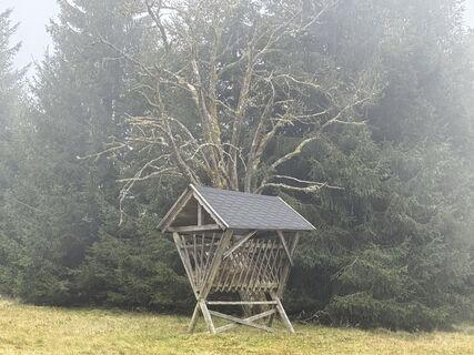
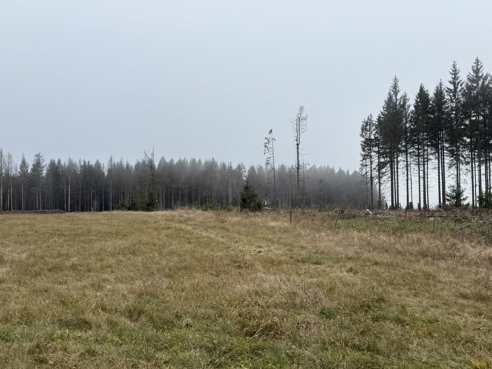
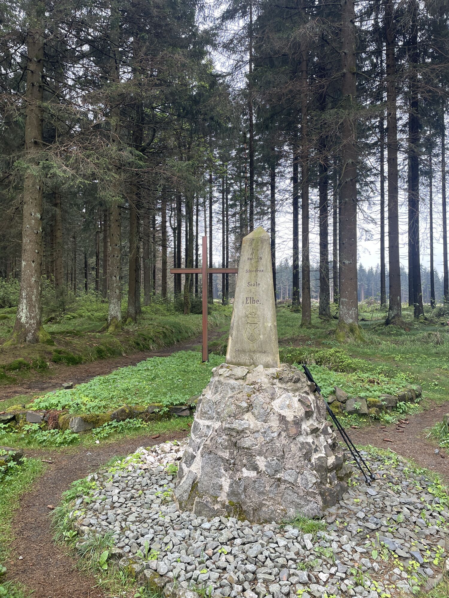
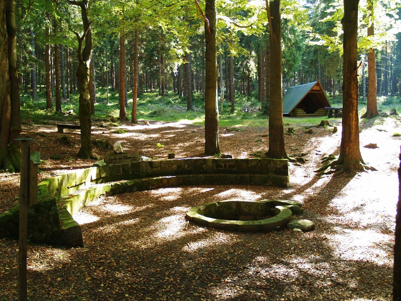
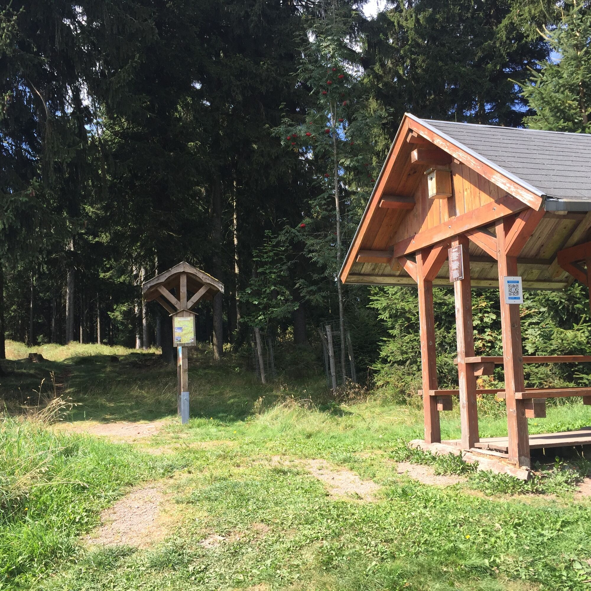
Let's go - the mountain is calling! Incidentally, the Schwarzatal also ends at Scheibe-Alsbach. On the way to the highest point of the panorama path, you pass the Schwarza spring halfway to the ridge path. Past the viewpoint "Weidmannsheil," you reach the Rennsteig after a short but steep ascent.
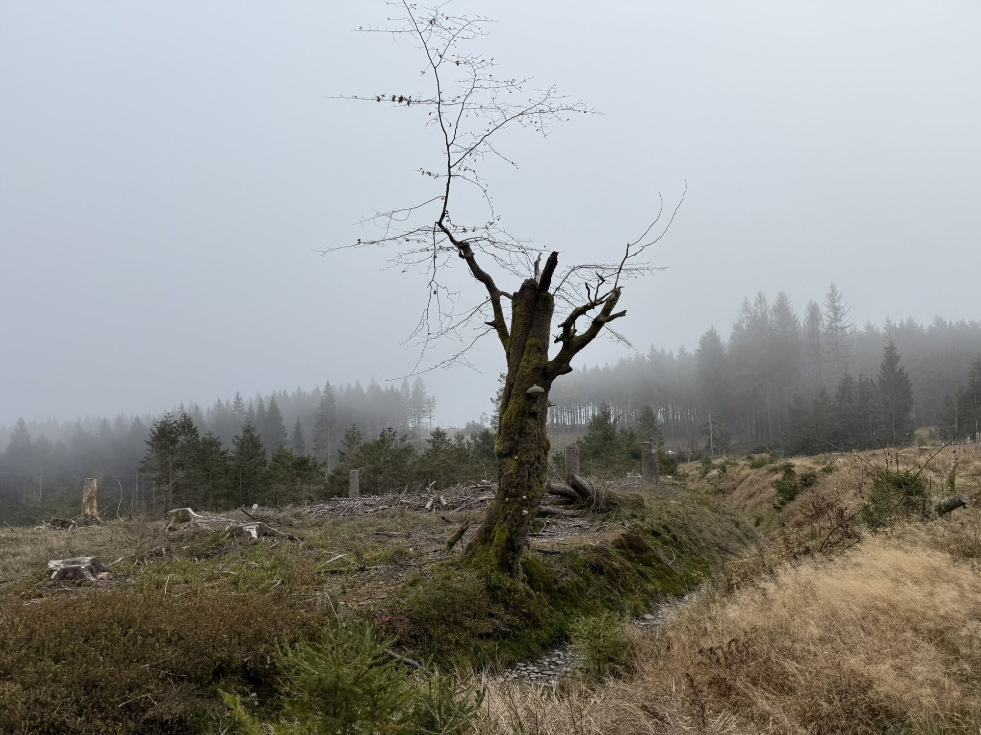
Now follow the Rennsteig in the direction of Limbach, past Siegmundsburg continuing to Friedrichshöhe. At Friedrichshöhe, you leave the Rennsteig and descend back into the Schwarzatal. Past the floating pond, you follow the Great Langenbach to the well-known lower basin of the Goldisthal pumped storage plant. Here awaits a small attraction for you: At the westernmost point of the lower basin, where the path has a hairpin turn, you can see on the left one of the many bridges of the new ICE high-speed line through the Thuringian Forest. With some luck, you catch exactly one of the brief moments when a Sprinter train travels at about 250 km/h crossing the short Saubach bridge and switching from one tunnel tube to the other. This is also a special experience acoustically.
The last part of the route takes you to the end of the lower basin, past the Grubental bridge to the entrance of the village Goldisthal.

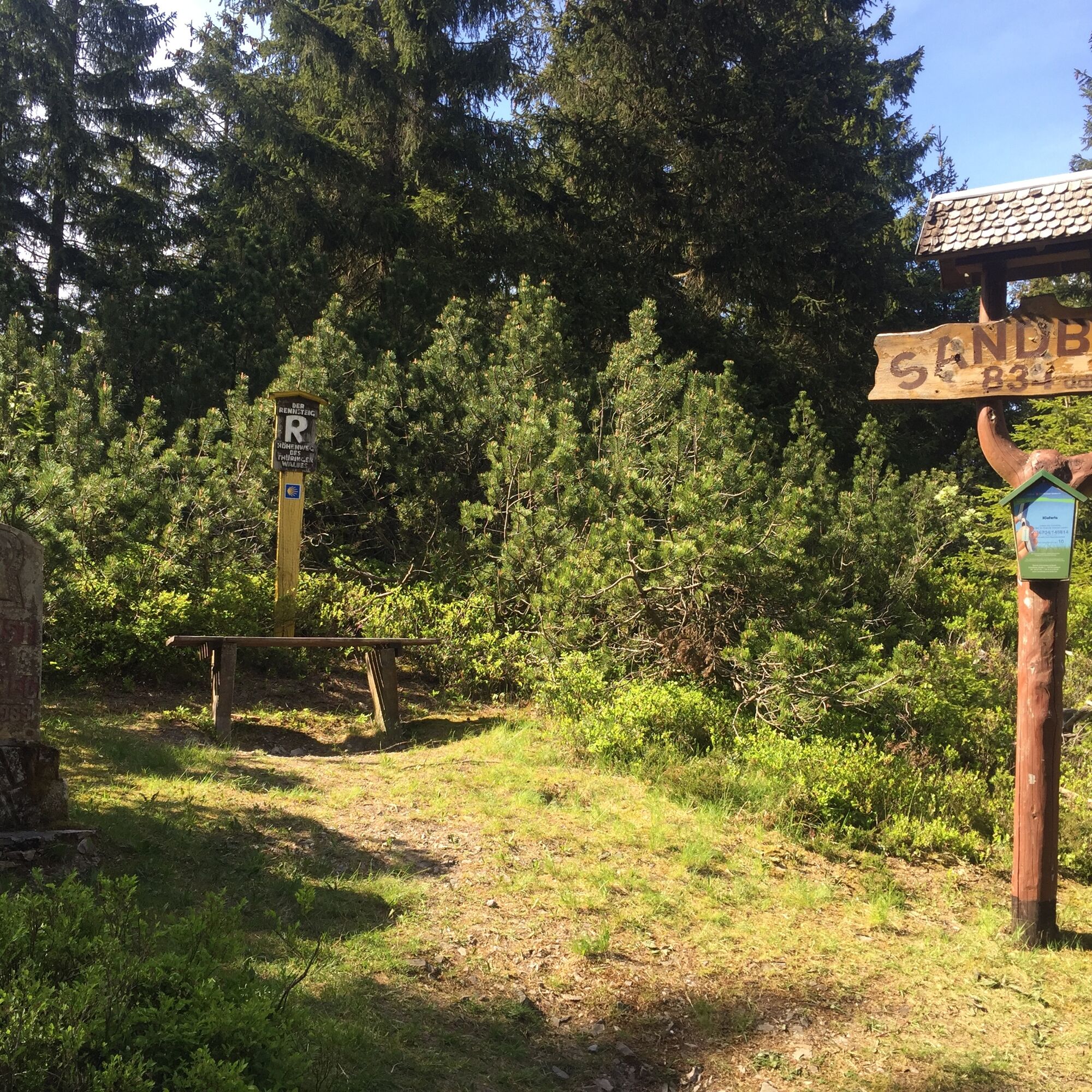
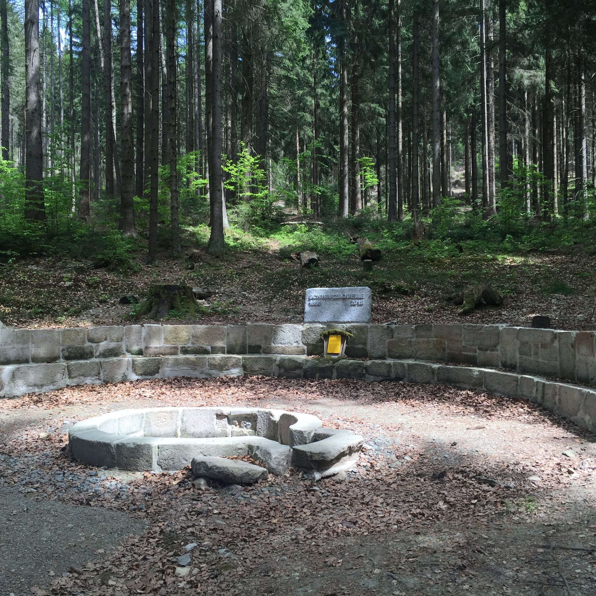
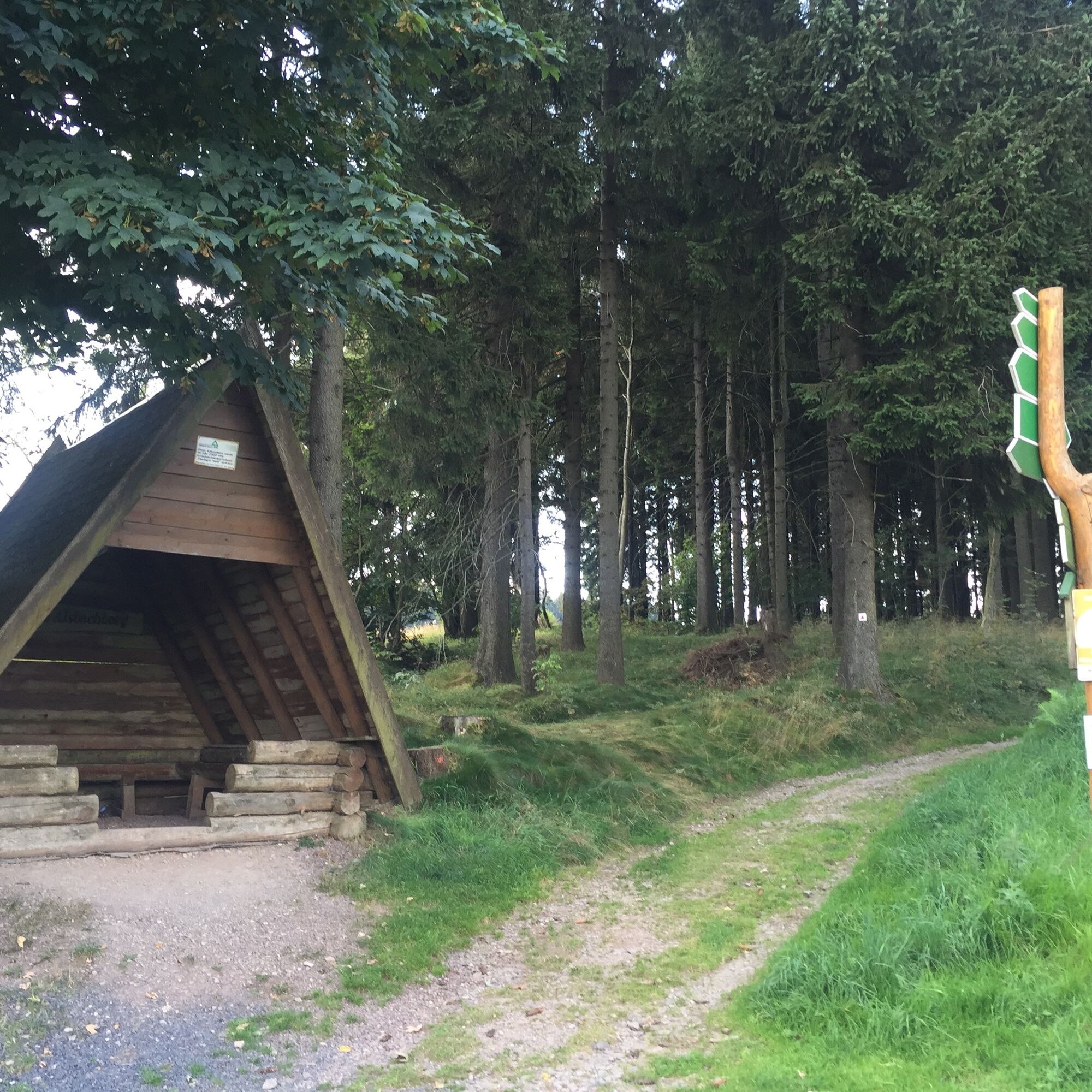
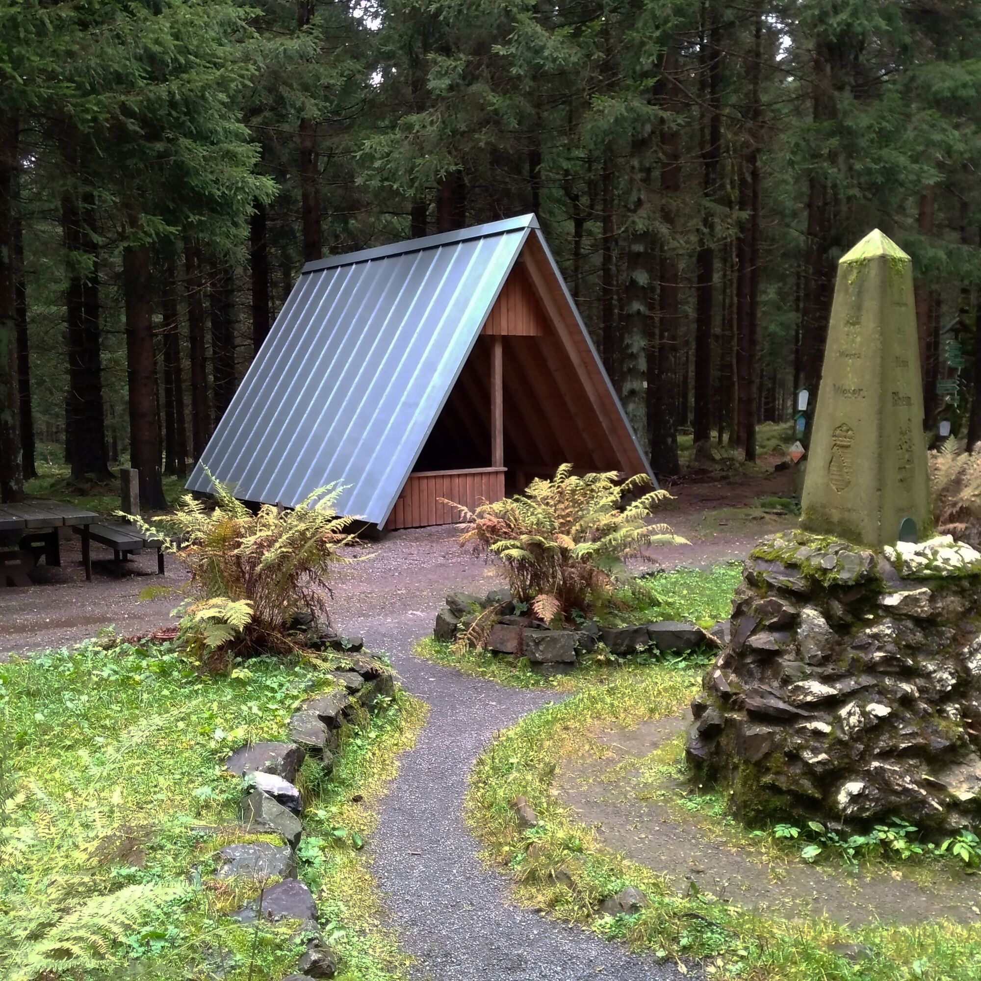
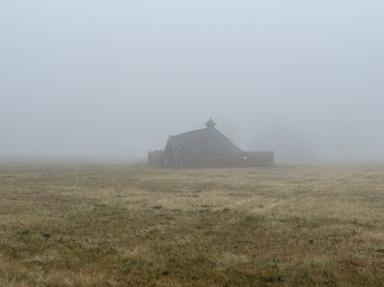
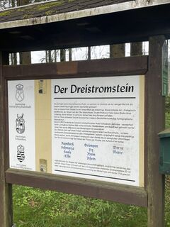
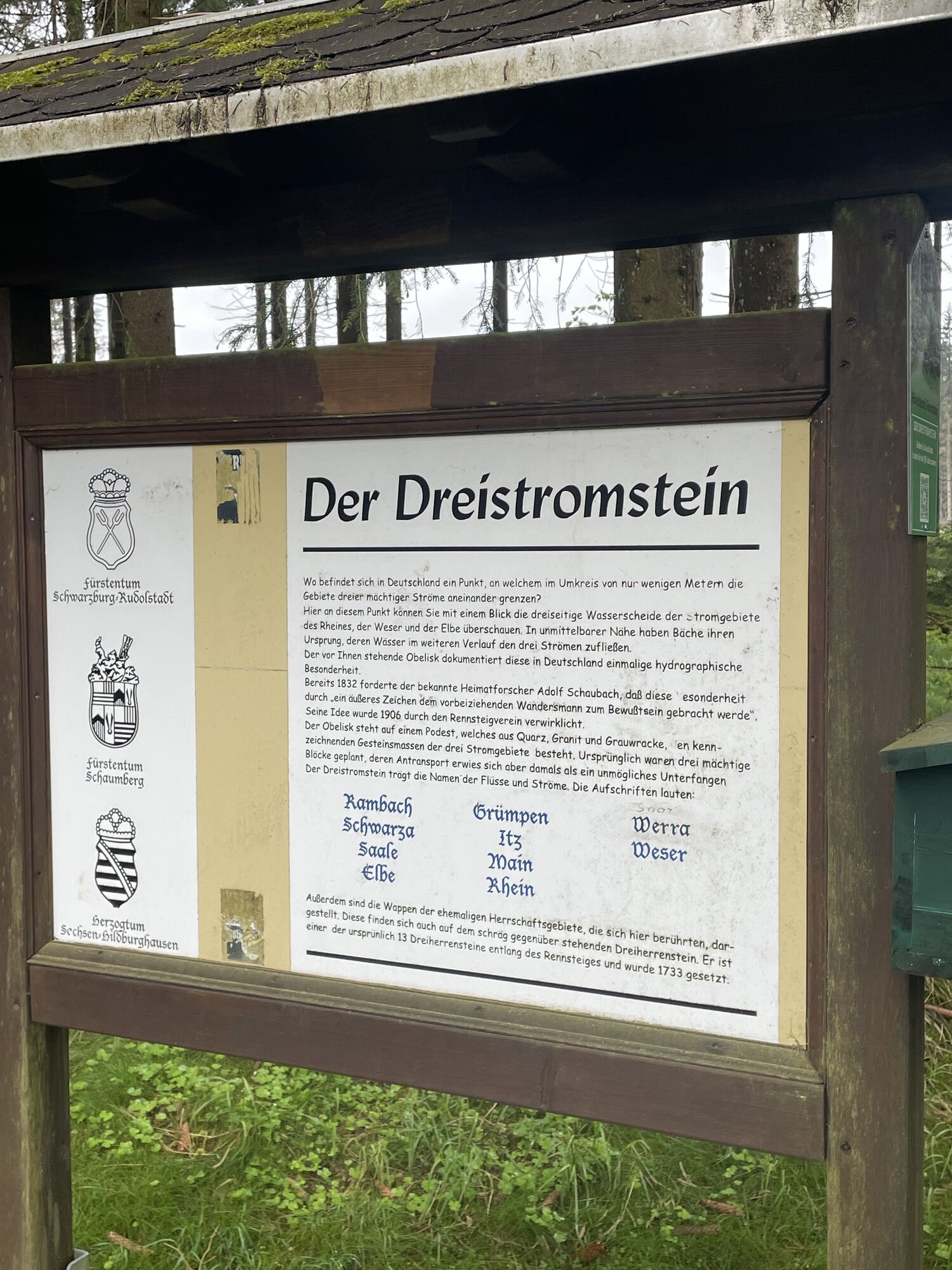
Memorial in Scheibe-Alsbach - Schwarza Source - Shelter Weidmannsheil - Rennsteig - Sandberg - Limbach - Dreistromstein - Friedrichshöhe - Lower basin pumped storage plant Goldisthal - Goldisthal
Tak
Sturdy footwear, rainwear, drinks, GPS device
Pay special attention to secure footing on the steep ascent hazards. Especially after rainfalls and during the transitional seasons, the paths can have a challenging structure.
Coming from the A73 take exit 5 (Eisfeld-Nord) and then continue on the B281 towards Neuhaus am Rennweg. In Limbach, leave the federal road to the left towards Scheibe-Alsbach.
You can easily reach Scheibe Alsbach by bus line 501 from the direction of Neuhaus. You can reach Neuhaus am Rennweg either directly with the SüdThüringenBahn or with bus 405 from Saalfeld (KomBus GmbH - also as a bike bus line).
For connections, simply use the Deutsche Bahn travel portal. Enter "Scheibe-Alsbach Berg, Neuhaus am Rennweg" as your destination.
Use the parking options at the entrance to the village (NAV point)
T2
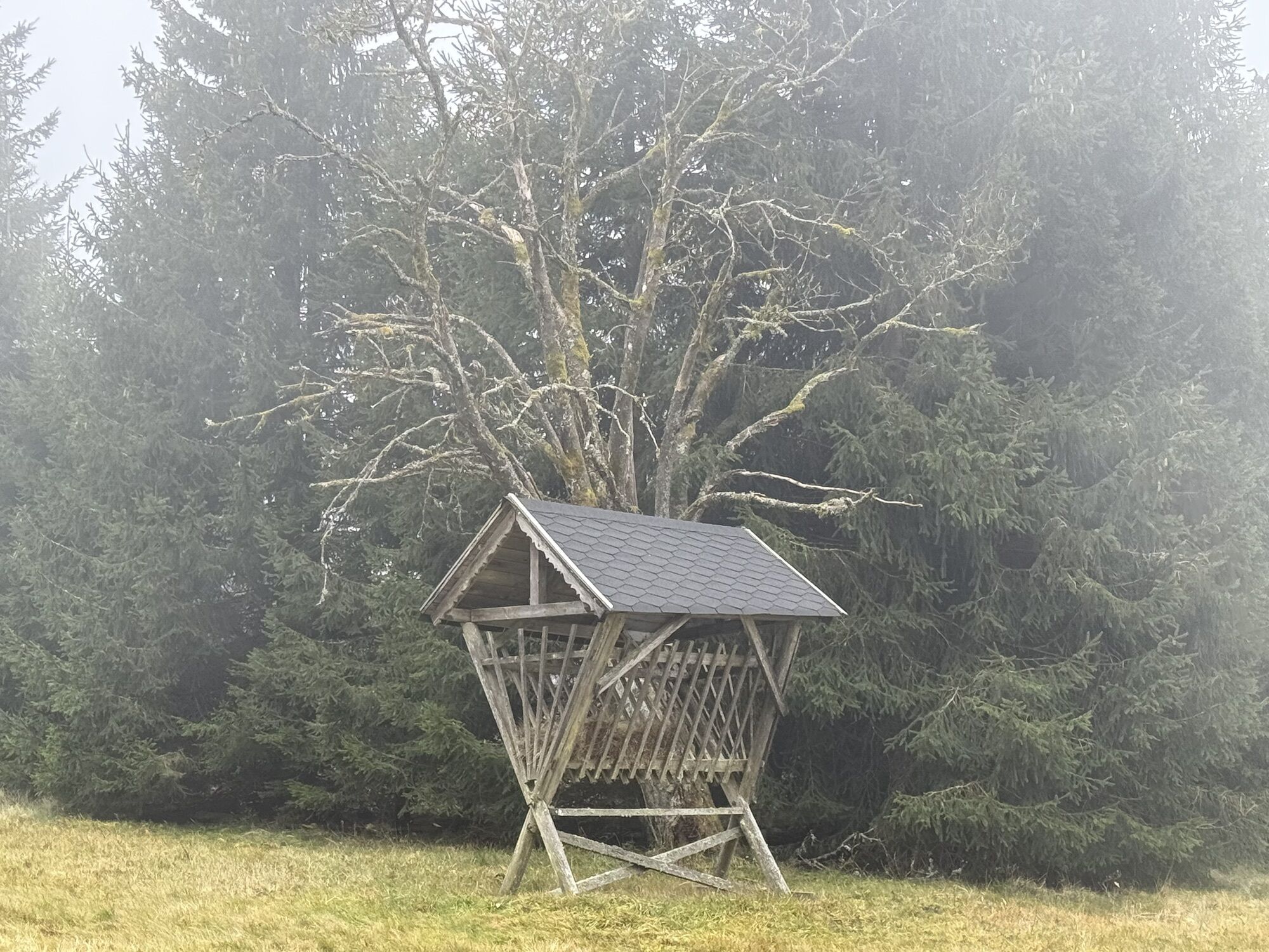
Take a break after the ascent to the Rennsteig and enjoy the peace of nature around Friedrichshöhe.
Popularne wycieczki w okolicy
-
3,0
Circular hike - "4 ponds hike" Neustadt am Rennsteig - Thuringian Forest
ciężkiWędrówka 12,6 km -
5,0
Naturlehrpfad Gießübler Schweiz
średniWędrówka 7,99 km -
3,8
Rundweg Talsperre
średniJazda na rowerze 14,5 km -
5,0
Circular hiking route - TOP 1 - Werra Source - Masserberg - Thuringian Forest
średniWędrówka 5,94 km -
Circular hike - Around the Schönbrunn reservoir - Thuringian Forest
średniWędrówka 15,6 km -
4,0
Circular hiking trail - TOP 4 - Masserberg - Fehrenbach Switzerland - Thuringian Forest
średniWędrówka 11,5 km -
5,0
Rundtour Staudamm
światłoWędrówka 3,91 km -
Circular hiking trail - "Sculpture Trail" - Hiking start Unterweißbach - Thuringian Forest
średniWędrówka 24,4 km -
Circular route - "When Rennsteig meets the Schwarzatal panorama path" - Limbach
średniWędrówka 9,68 km -
5,0
Circular hiking route - "Panorama View" - Schönbrunn - Thuringian Forest
średniWędrówka 9,65 km
Wędrówki i tropienie


Nie przegap ofert i inspiracji na następne wakacje
Twój adres e-mail została dodana do listy mailingowej.