







Thüringer Urwaldpfade - Vessertal Family Round
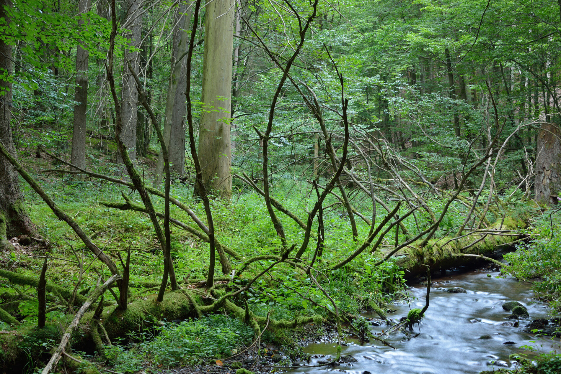
The Vessertal family round runs around the "Großer Herrenberg" through the core zone Vessertal of the UNESCO Biosphere Reserve Thüringer Wald and is a shorter, approximately 4.5-kilometer alternative route...
The Vessertal family round runs around the "Großer Herrenberg" through the core zone Vessertal of the UNESCO Biosphere Reserve Thüringer Wald and is a shorter, approximately 4.5-kilometer alternative route to the large Vessertal Route. Along the way, guesthouses offer opportunities to rest from time to time.

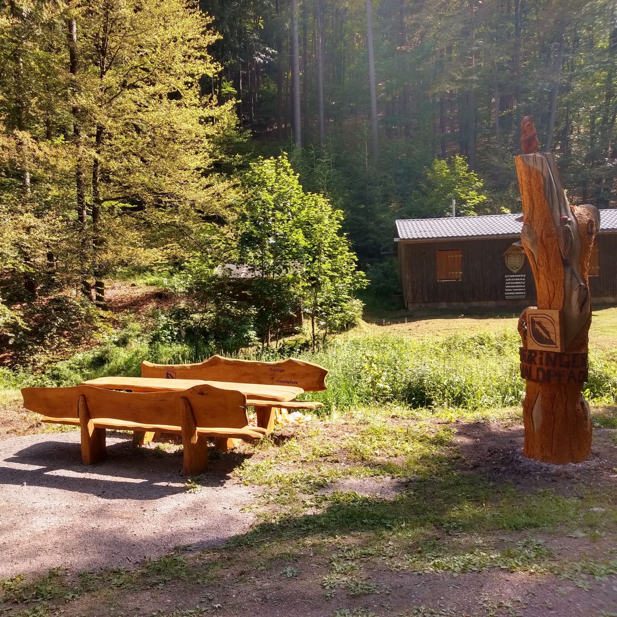
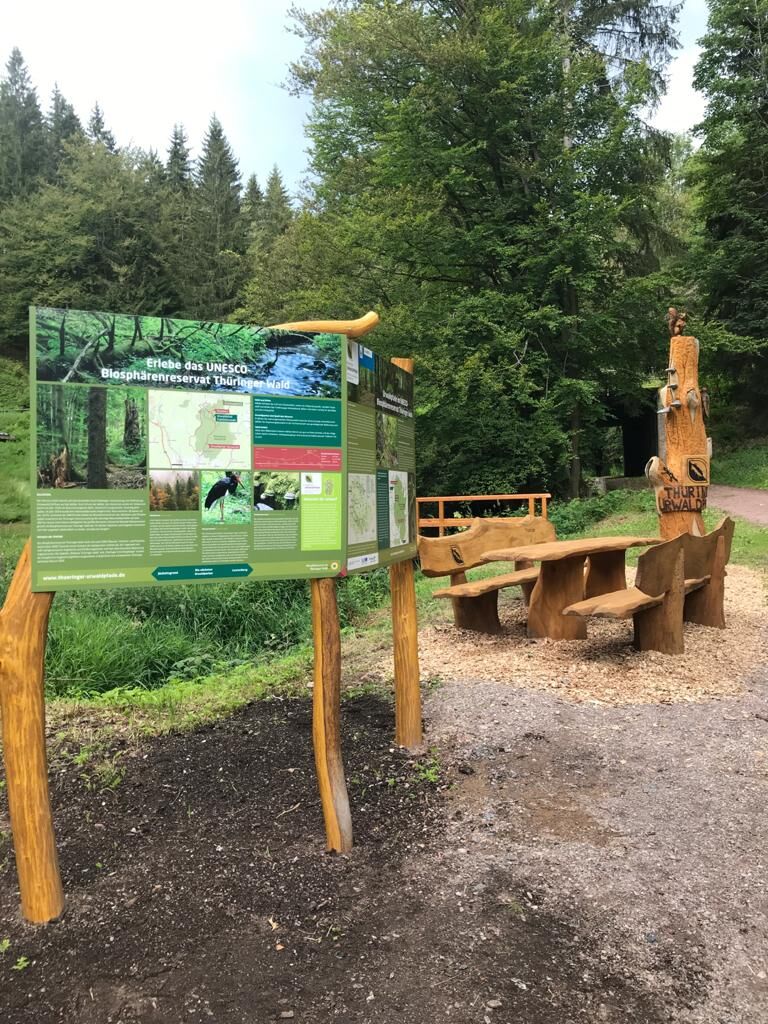
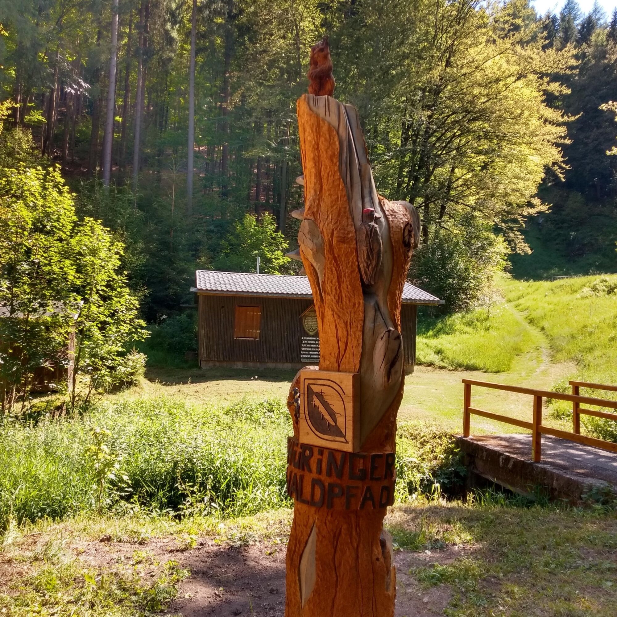
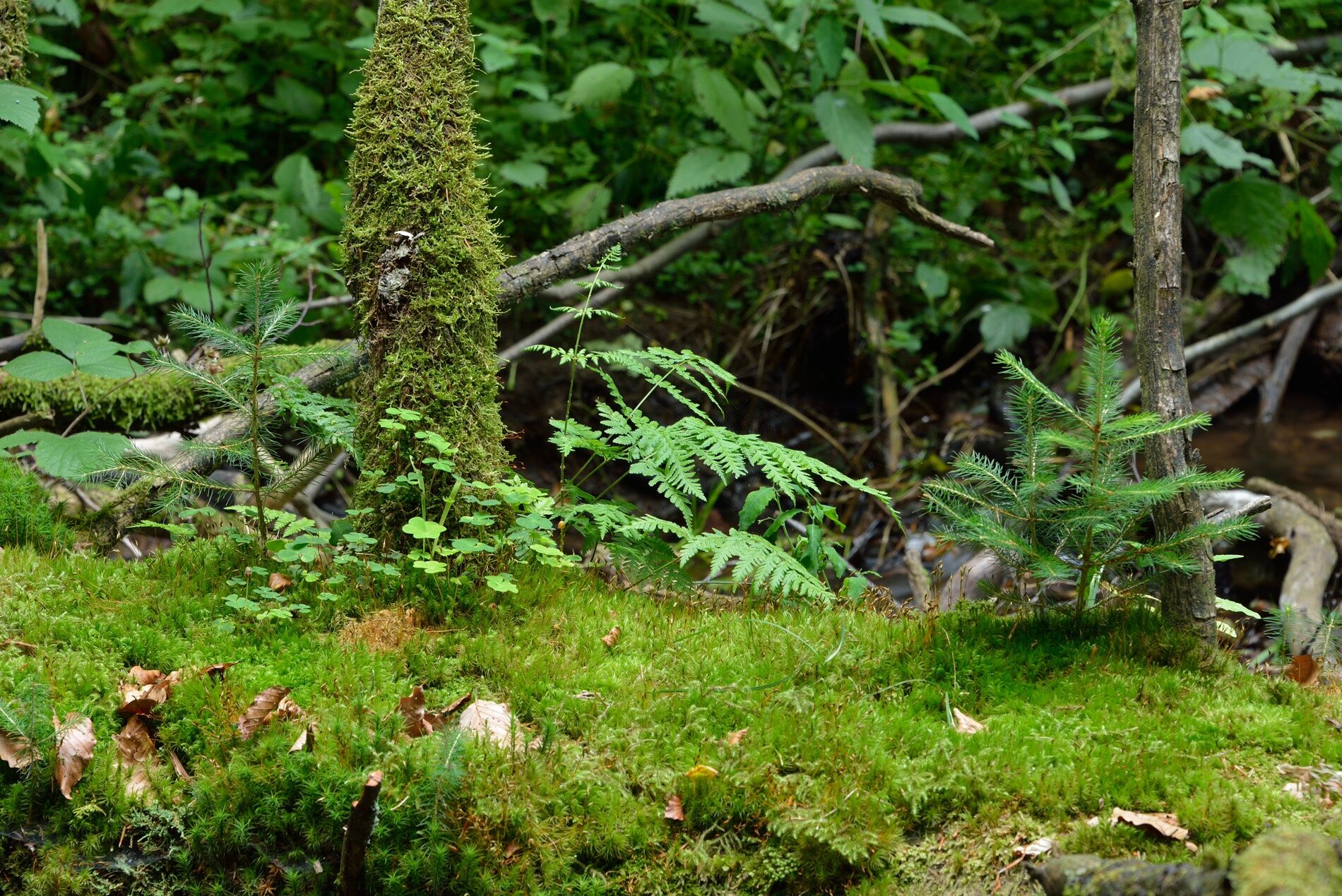
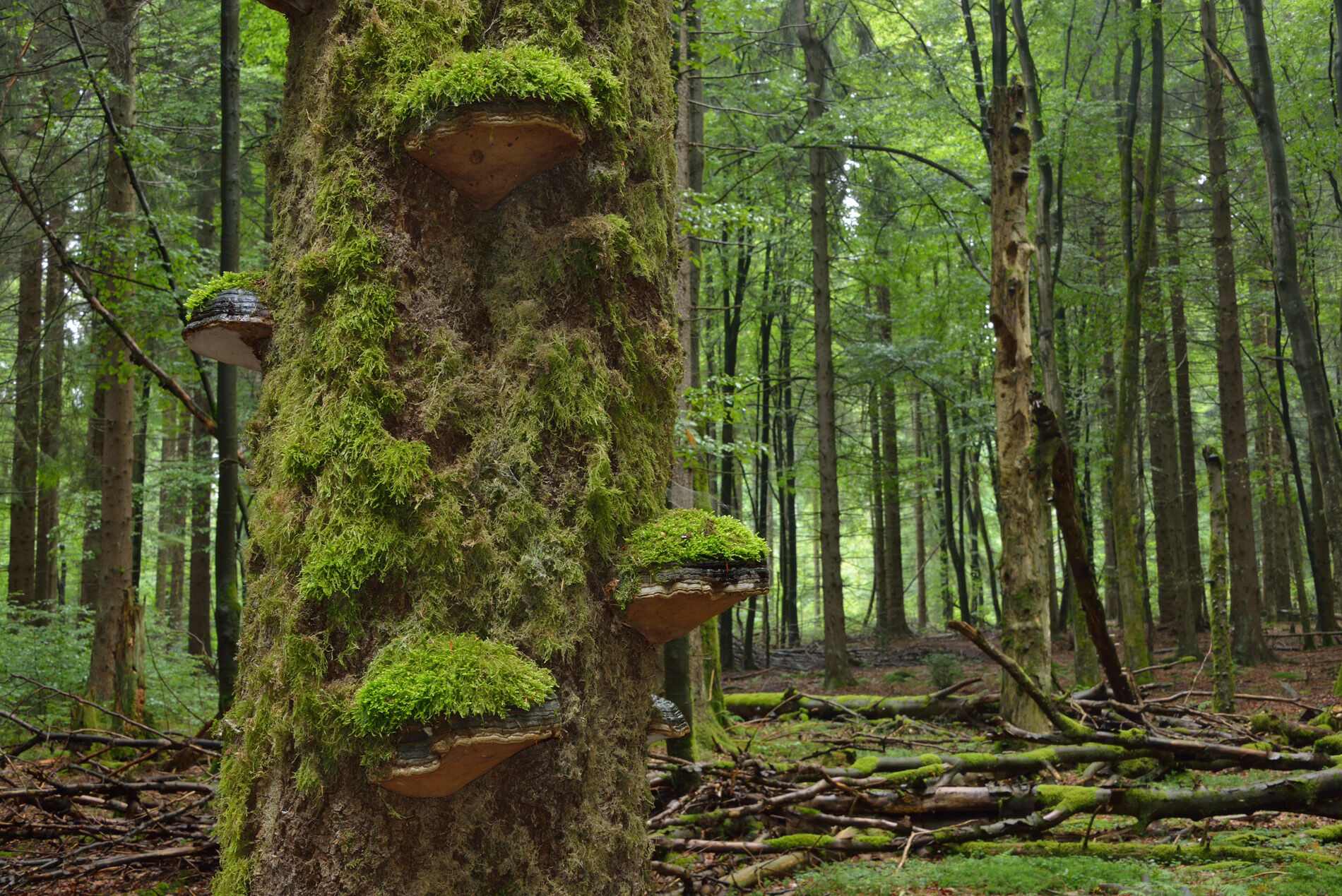
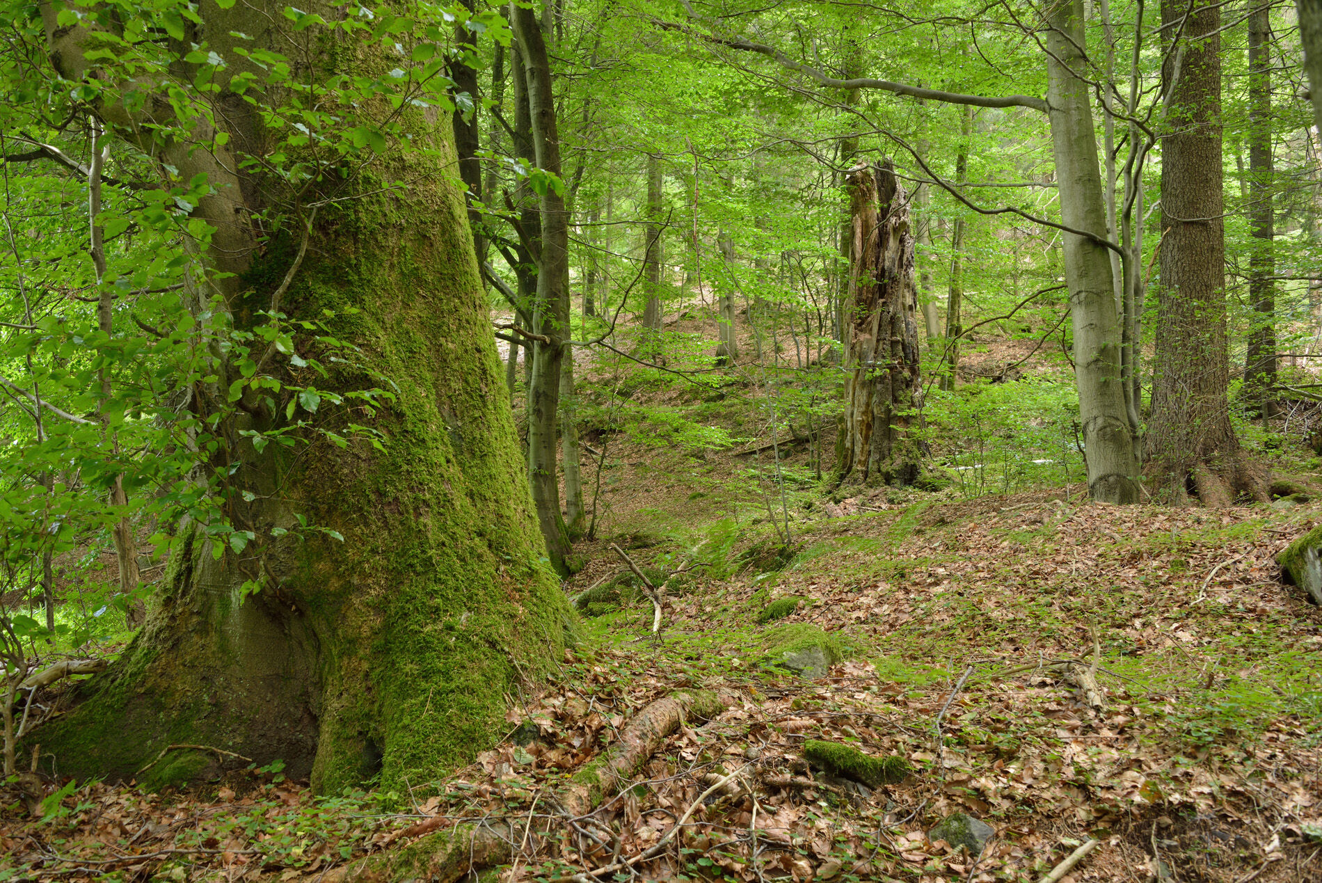
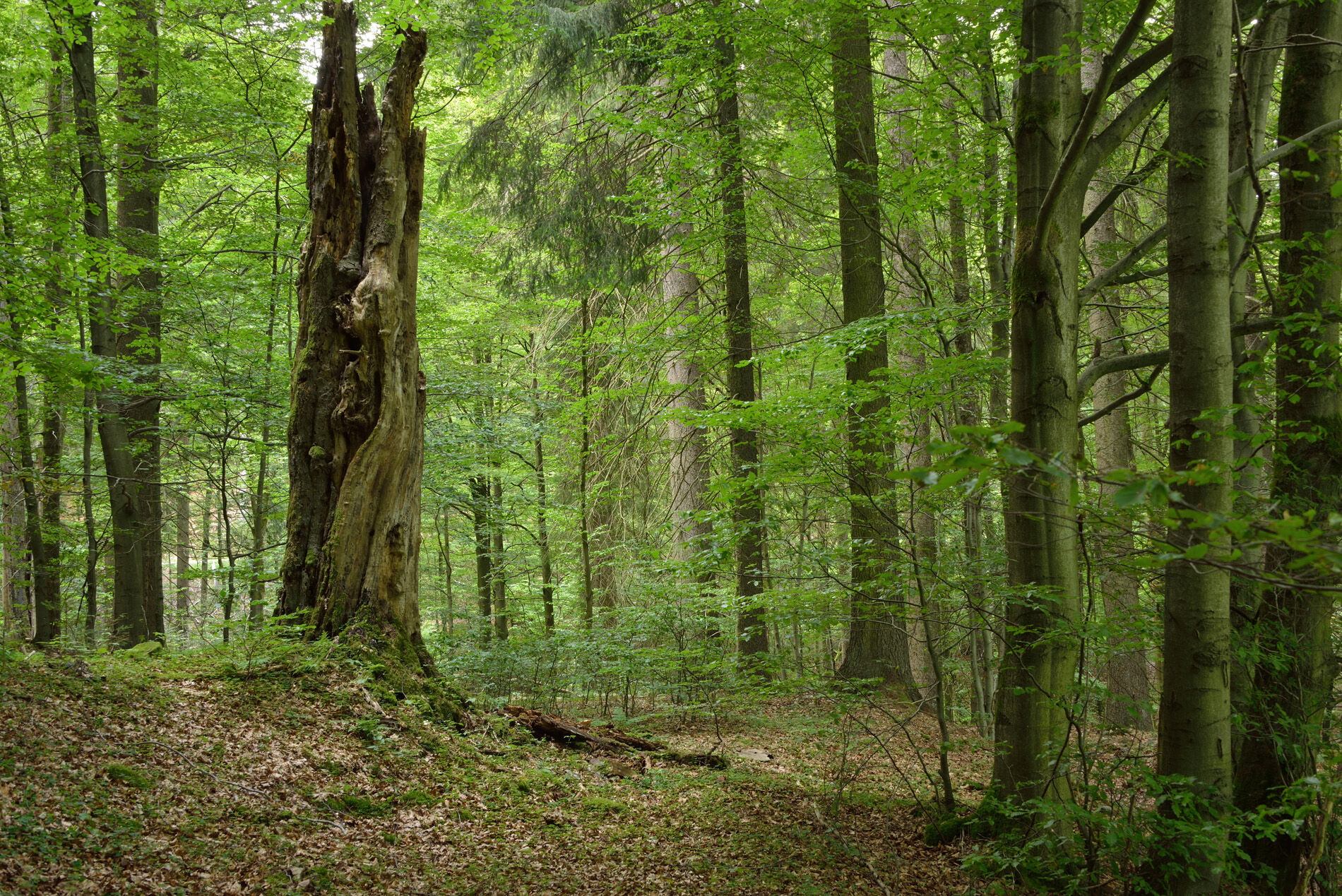
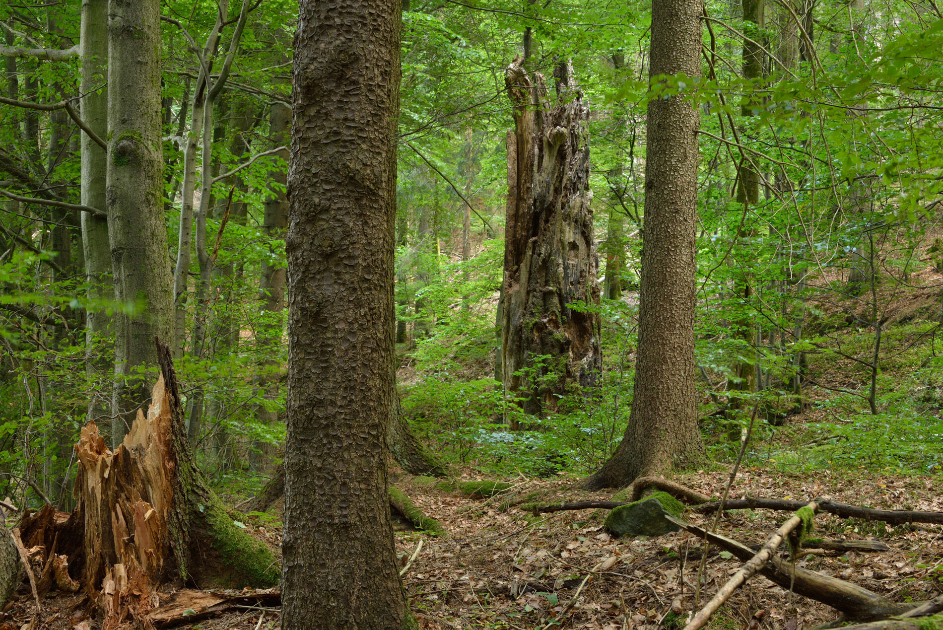

From the starting point at the entrance portal of the Thüringer Urwaldpfad, the family circular route leads southeast over a bridge to the first fork in the path. Here, follow the signpost of the family circular route.
Following a moderately ascending path, the "Hohe Leistenstraße" leads around the Großer Herrenhügel.
At the large intersection with Stutenhausstraße, you have the option to stop for lunch at the Stutenhaus guesthouse.
If you want to continue hiking without a break, follow the path north to the next junction, then follow the Försterstieg path until you reach Stutenhausstraße again. Follow this down until you reach the forest inn "Zu Vesser," where you have another opportunity to stop, as well as at the "Deutsches Haus" guesthouse, a little further down Stutenhausstraße.
Behind the forest inn "Zu Vesser," turn right following the Vessertal circular hiking trail to the fork "Am Bühlarsch," where you choose the left path. On the Vessertal circular hiking trail, you will reach the Vesserschanze again.
Tak
Sturdy footwear
a backpack with provisions
a map
Bring enough water
Coming from the A71, exit 16 (Ilmenau West) and continue on L3004 towards Ilmenau. Follow the road through the city towards Stützerbach / Schmiedefeld am Rennsteig. At the Rennsteig intersection, continue straight towards Schmiedefeld am Rennsteig / Suhl.
You reach the town via Ilmenauer Straße / Bahnhofstrasse.
By bus and train to Vesser:
From Suhl with line K (www.sngonline.de) Weekdays only from Ilmenau with line 300 (www.iov-ilmenau.de)It is about a 15-minute walk from Vesser to the starting point.
Special feature: You can reach the Vessertal circular hiking trail on weekends in an eco-friendly way with the Rennsteig shuttle of Erfurter Bahn and the Rennsteig bus (line 300): Erfurt-Ilmenau-Rennsteig station and continue by bus as described above.The hiking car park is located at the sports ground of the Schmiedefeld am Rennsteig municipality. An information board points to the course of the Thüringer Urwaldpfad in the Vessertal.
Further parking spaces are located in the center of Schmiedefeld. Also, at the starting points in Vesser and Breitenbach, there are signed hiking car parks.
Do you want to not only experience nature but also protect it? Here you can learn everything about the autumn fundraising hike "Hiking for Biodiversity"
 Uzyskaj wgląd
Zawsze na żywo z ponad 9 500 kamer internetowych. bergfex Jako użytkownik Pro, możesz teraz zobaczyć odpowiednie kamery internetowe dla wielu wycieczek w aplikacji wycieczki od. Pozwala to na bezpośredni podgląd aktualnych warunków.
Uzyskaj wgląd
Zawsze na żywo z ponad 9 500 kamer internetowych. bergfex Jako użytkownik Pro, możesz teraz zobaczyć odpowiednie kamery internetowe dla wielu wycieczek w aplikacji wycieczki od. Pozwala to na bezpośredni podgląd aktualnych warunków.
Popularne wycieczki w okolicy
-
5,0
Naturlehrpfad Gießübler Schweiz
średniWędrówka 7,99 km -
3,0
Circular hike - "4 ponds hike" Neustadt am Rennsteig - Thuringian Forest
ciężkiWędrówka 12,6 km -
4,6
Hike over the Rennsteig & the Schneekopf to the Schmücke
ciężkiWędrówka 20,9 km -
3,8
Rundweg Talsperre
średniJazda na rowerze 14,5 km -
The Rennsteig - long-distance hiking trail from Hörschel to Blankenstein - Thuringian Forest
ciężkidługodystansowy szlak pieszy 169,0 km -
4,0
Zu den Schanzen im Kanzlersgrund
średniWędrówka 9,58 km -
4,0
Circular hiking trail - TOP 4 - Masserberg - Fehrenbach Switzerland - Thuringian Forest
średniWędrówka 11,5 km -
5,0
Rundtour Staudamm
światłoWędrówka 3,91 km -
4,0
TOP 5 - circular hiking route - "Forsthaus Sattelbach" - Oberhof
światłoWędrówka 3,67 km -
4,2
Circular hiking route - "Zunft & Kloß" - Zella-Mehlis - Thuringian Forest
ciężkiTrasa tematyczna 6,83 km
Wędrówki i tropienie


Nie przegap ofert i inspiracji na następne wakacje
Twój adres e-mail została dodana do listy mailingowej.





