






TEAG RENNSThike World Championship 170er-Xtrem-Marsch and IVV - WWW

Poziom trudności: T1
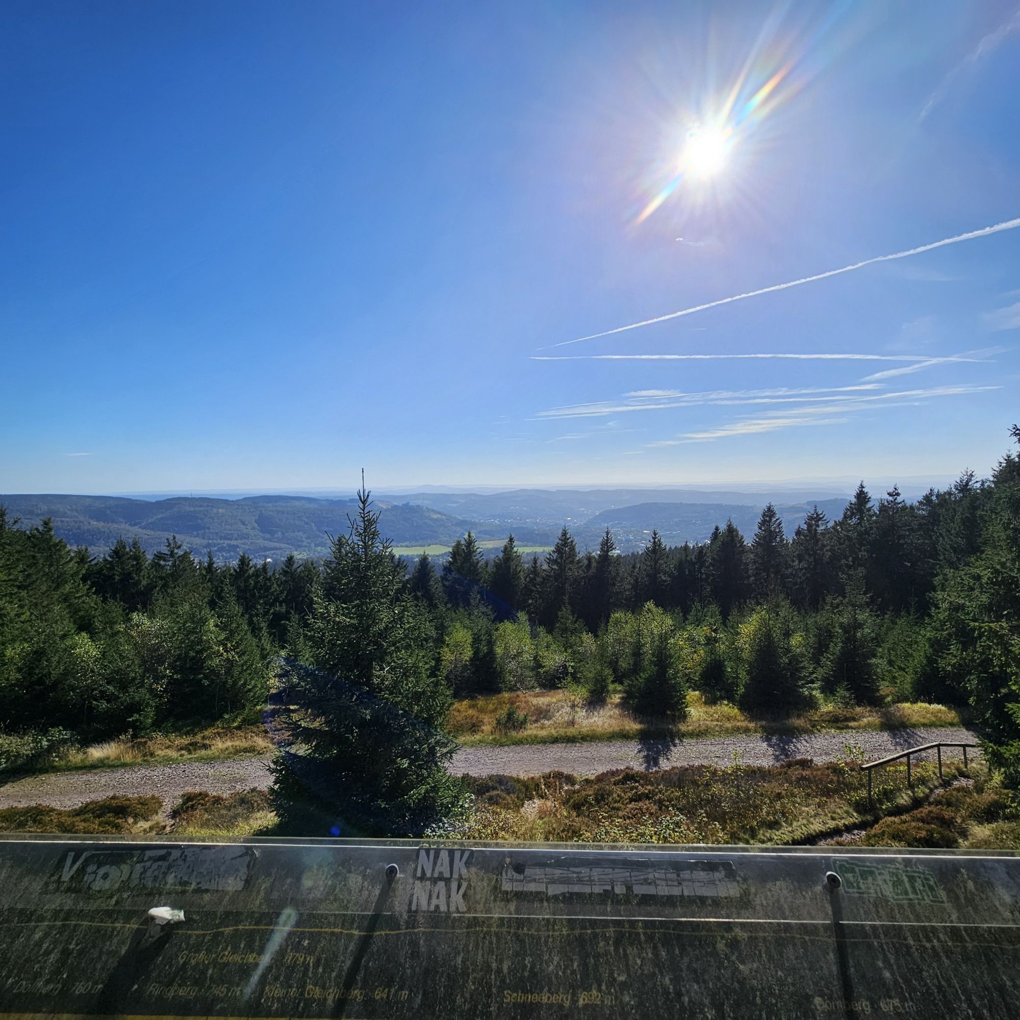
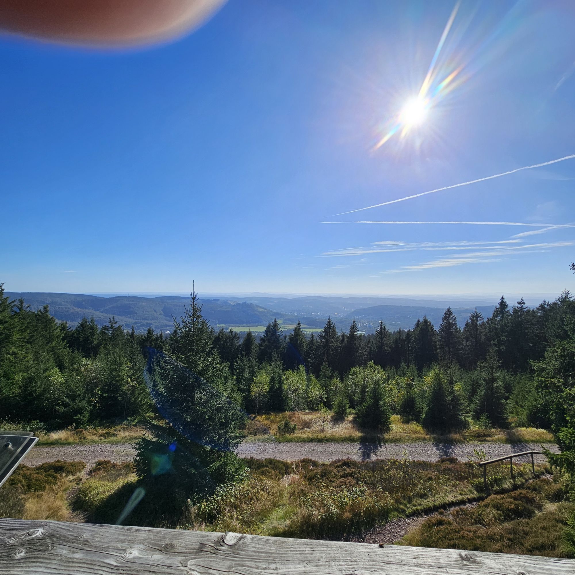
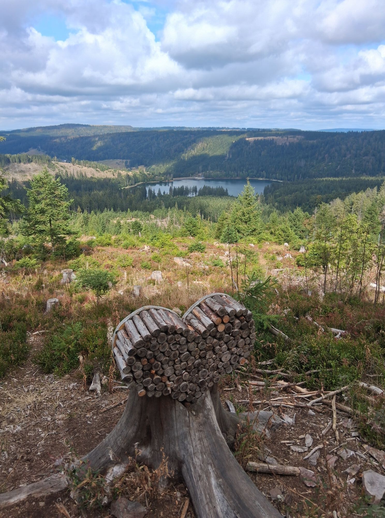
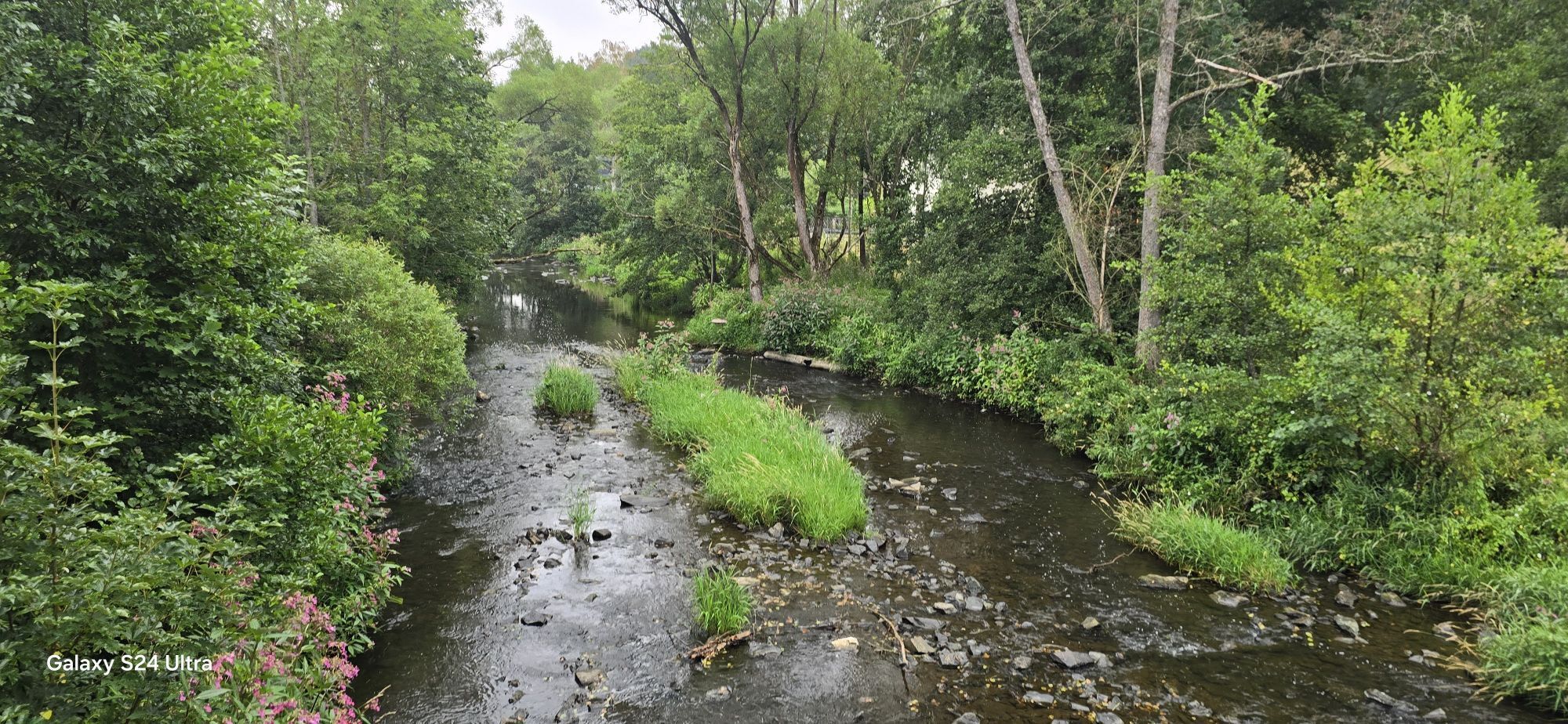
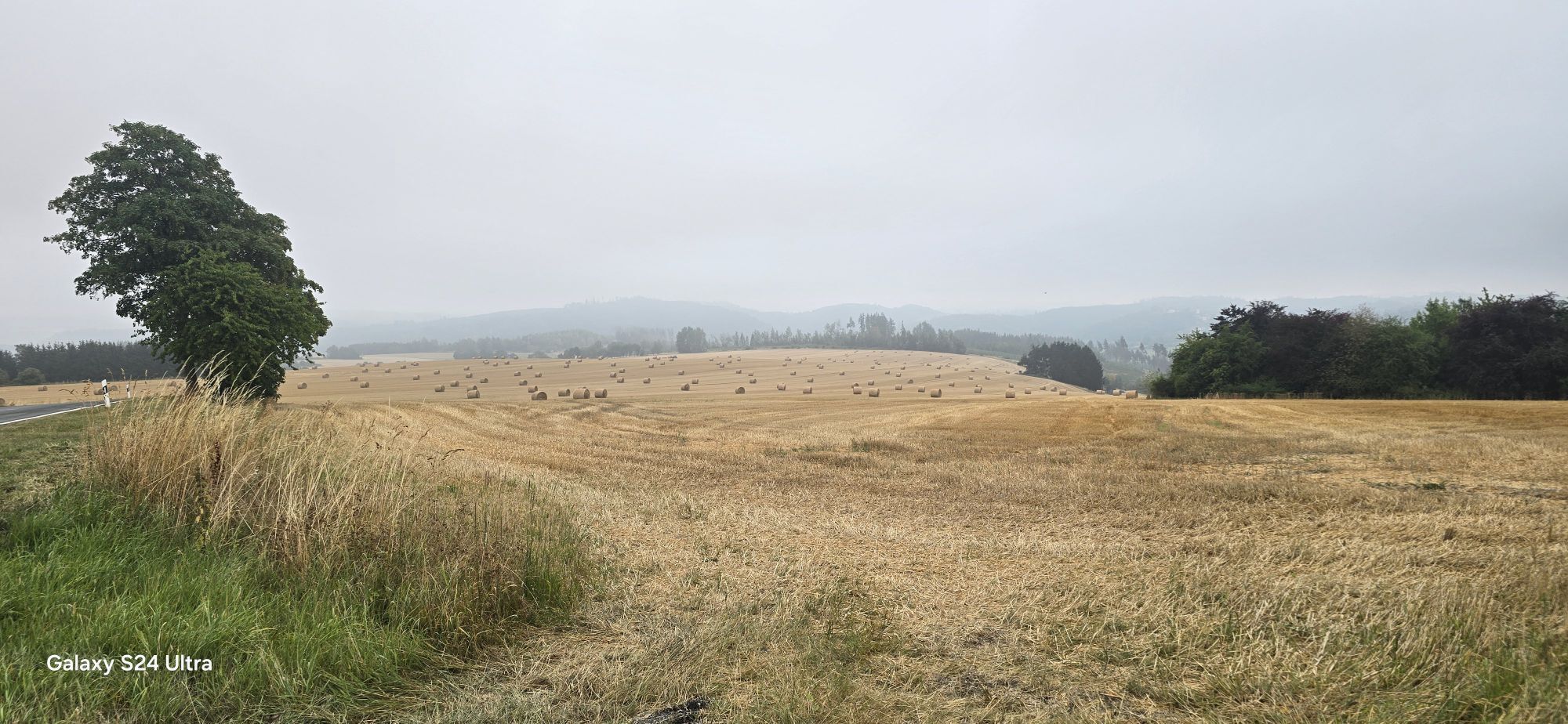

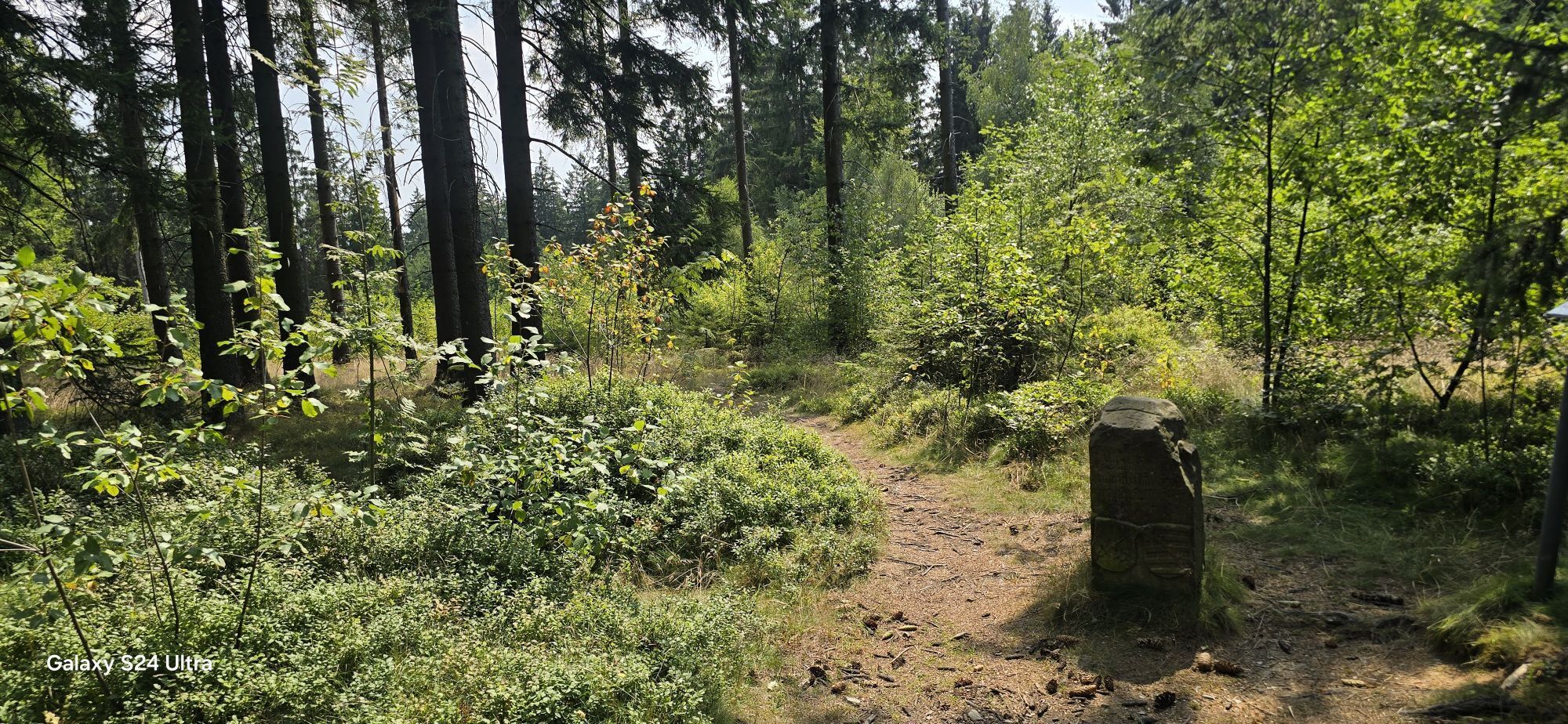


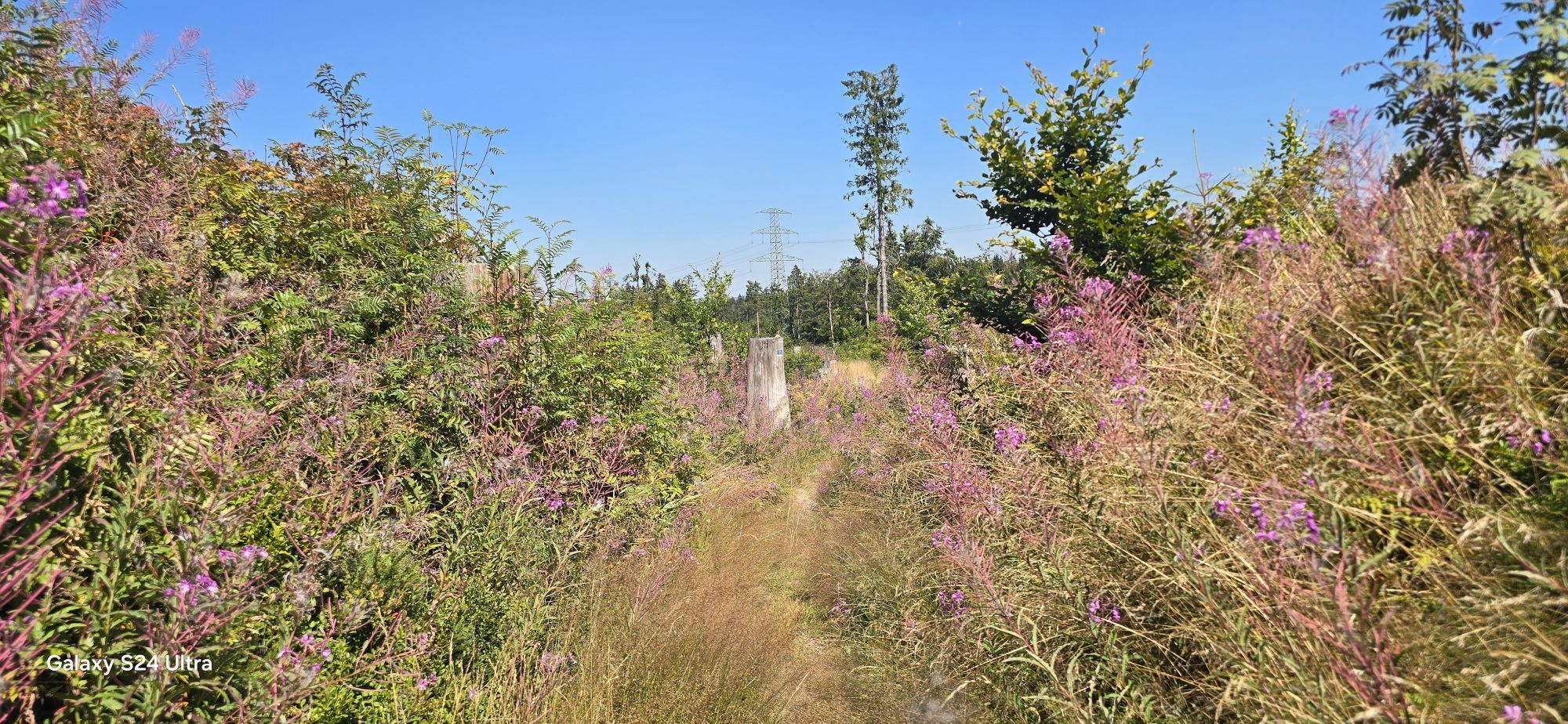
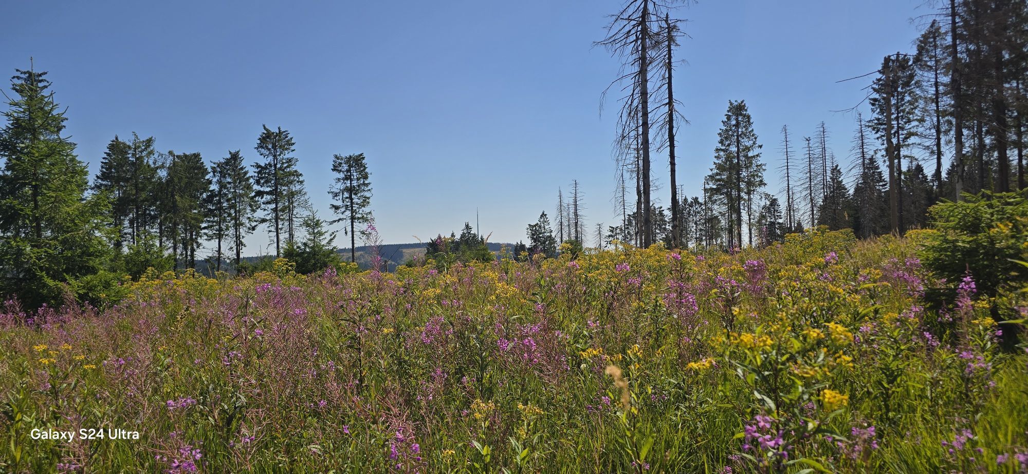
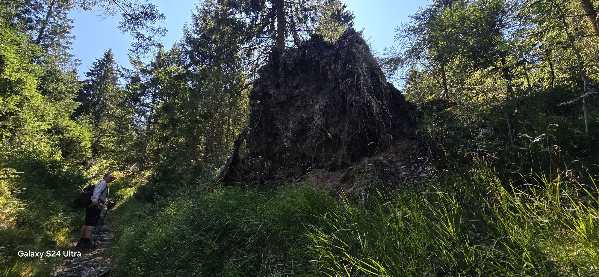
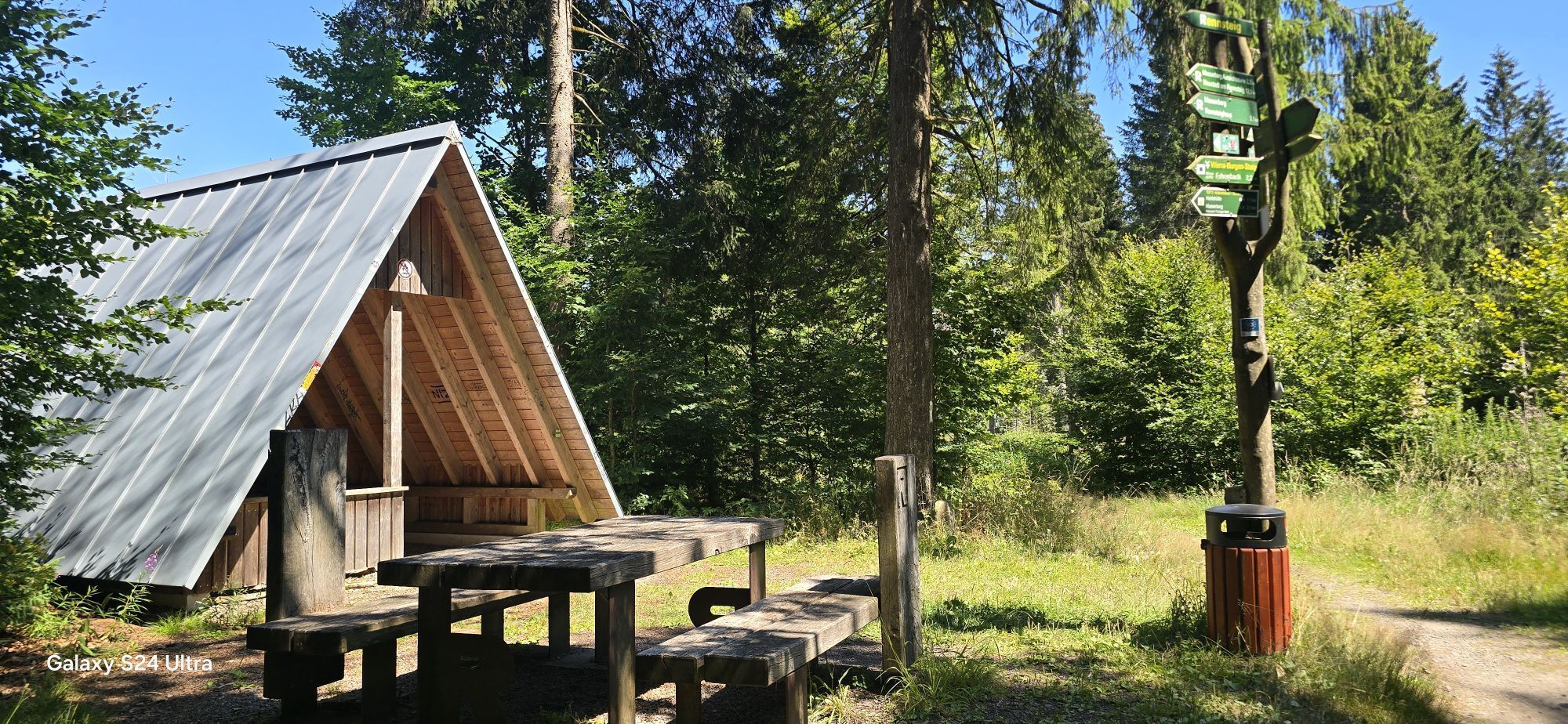
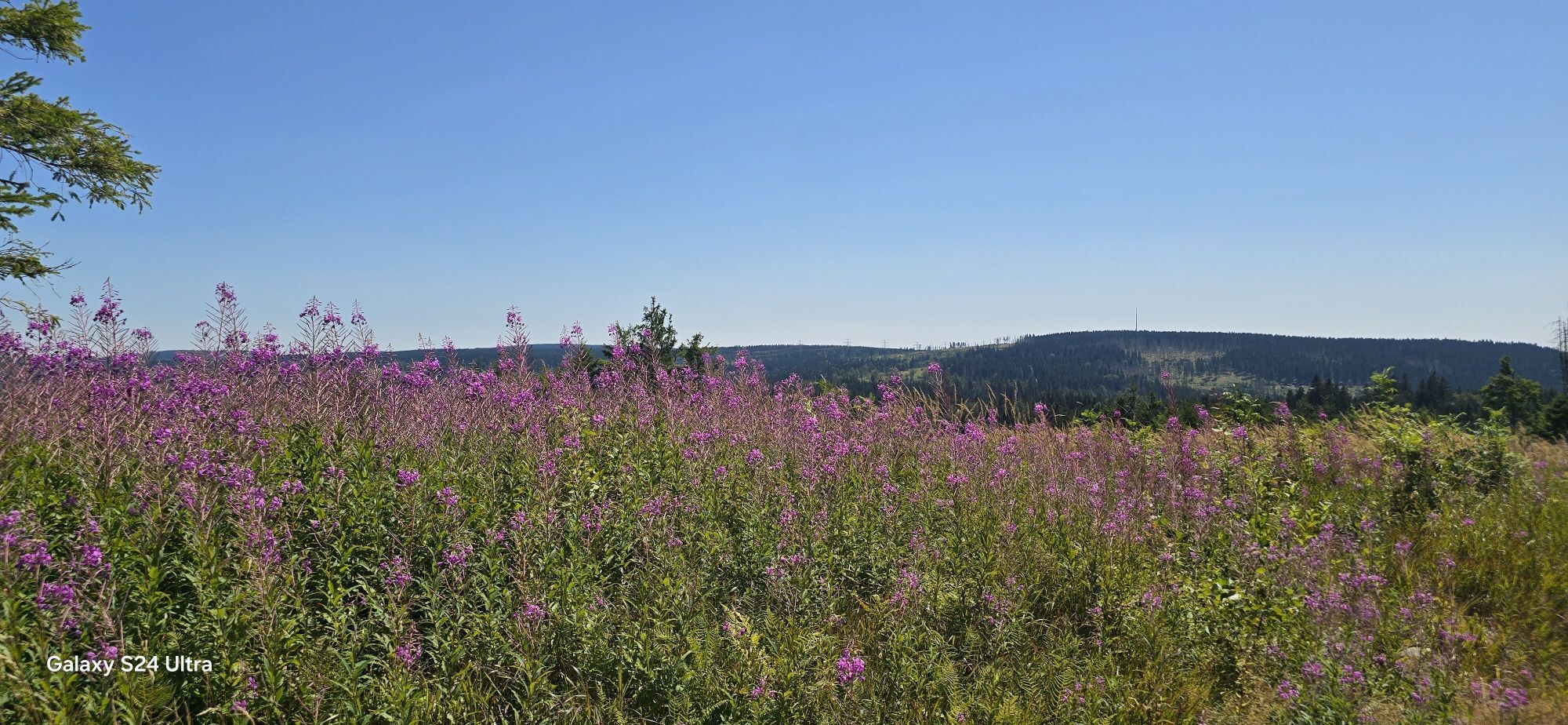
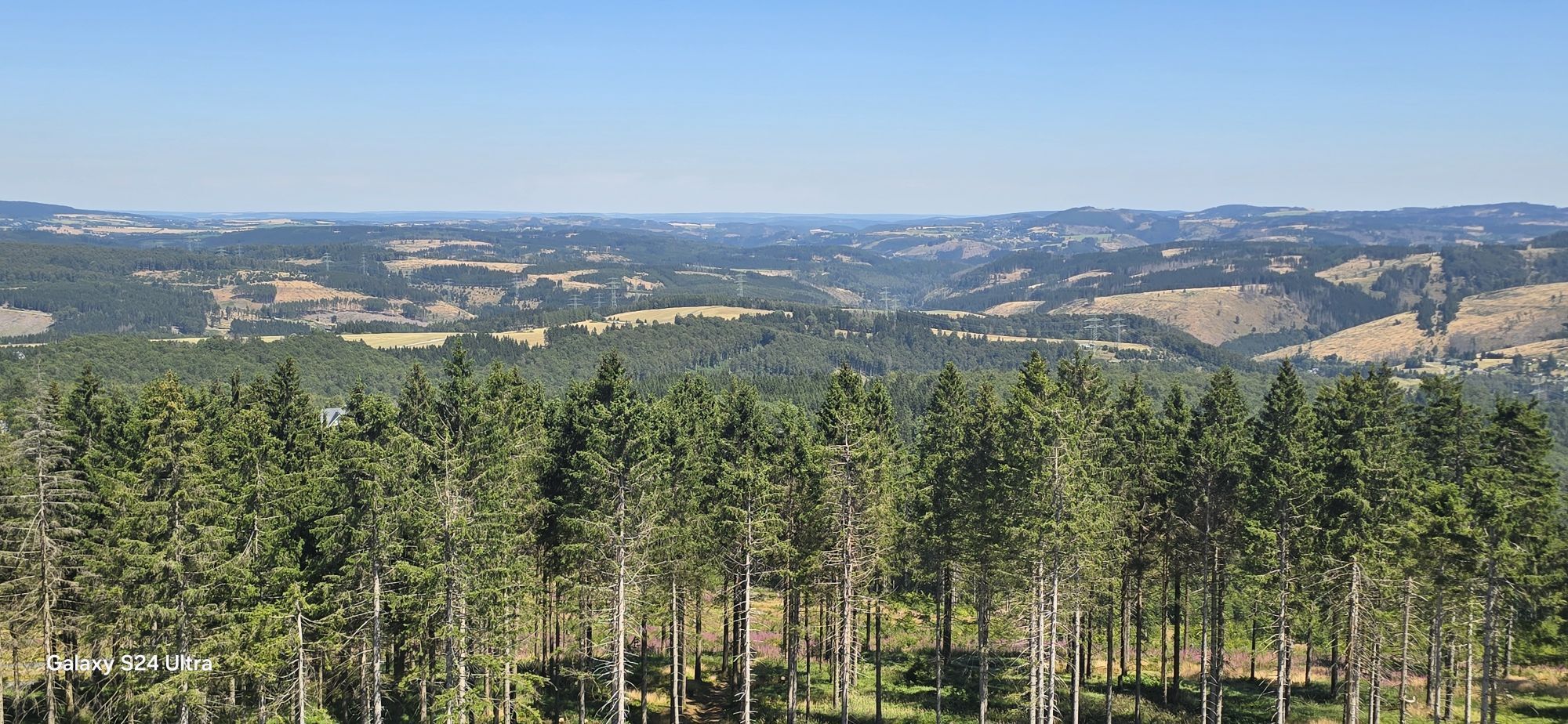
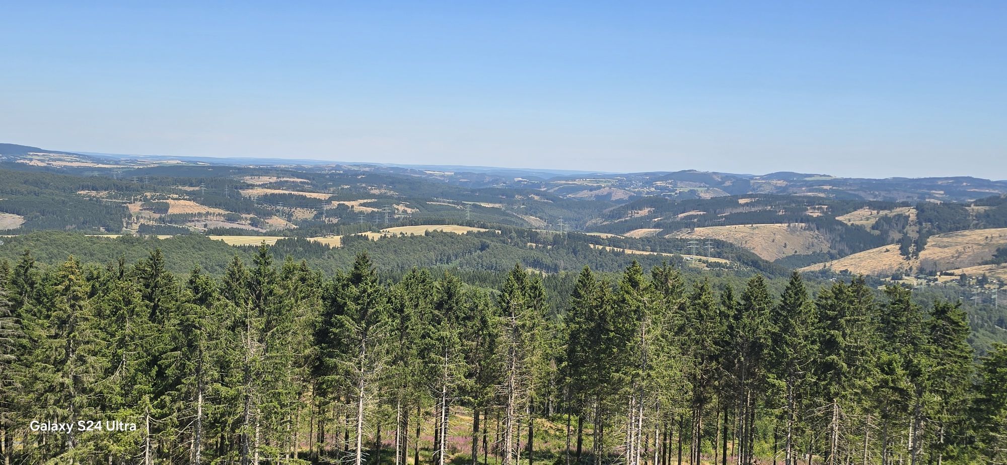
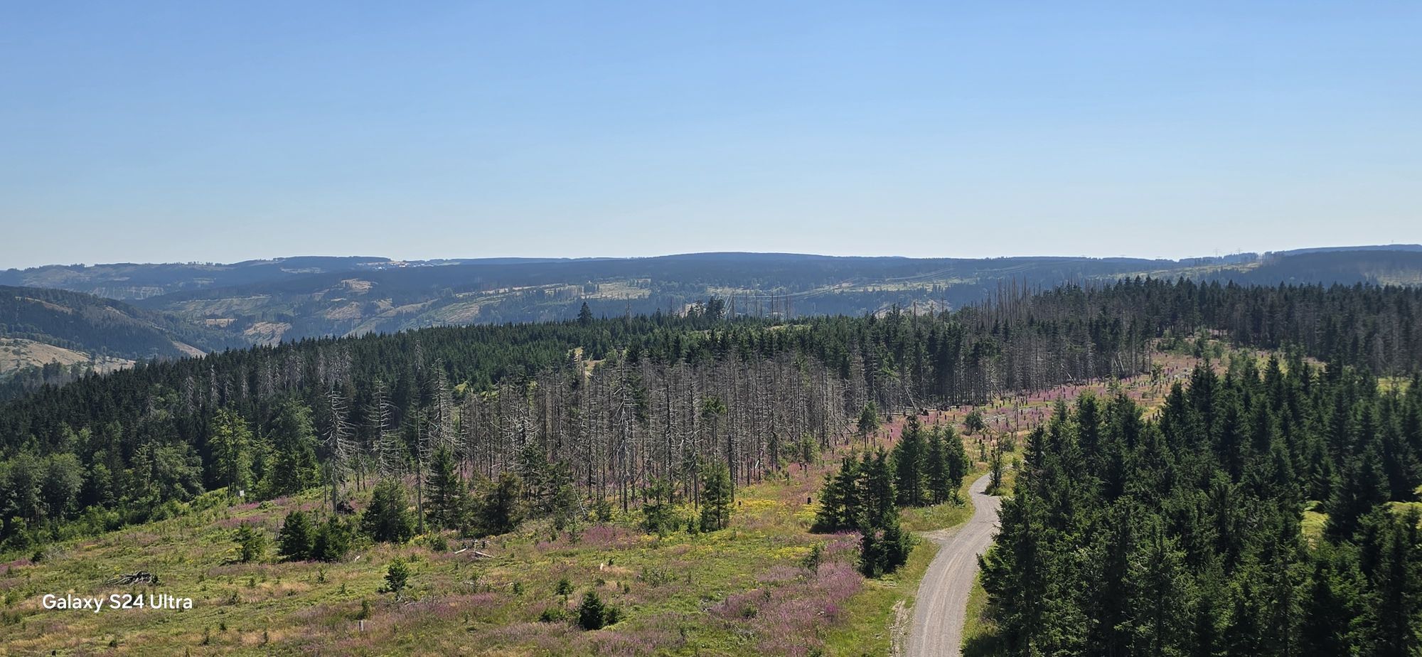
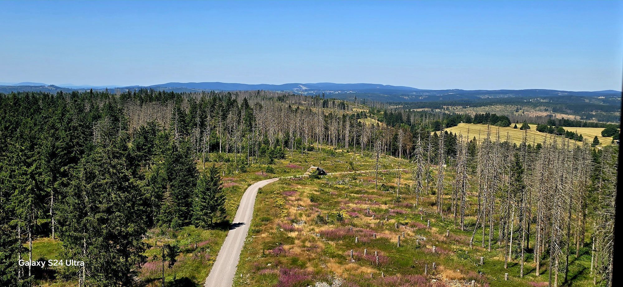
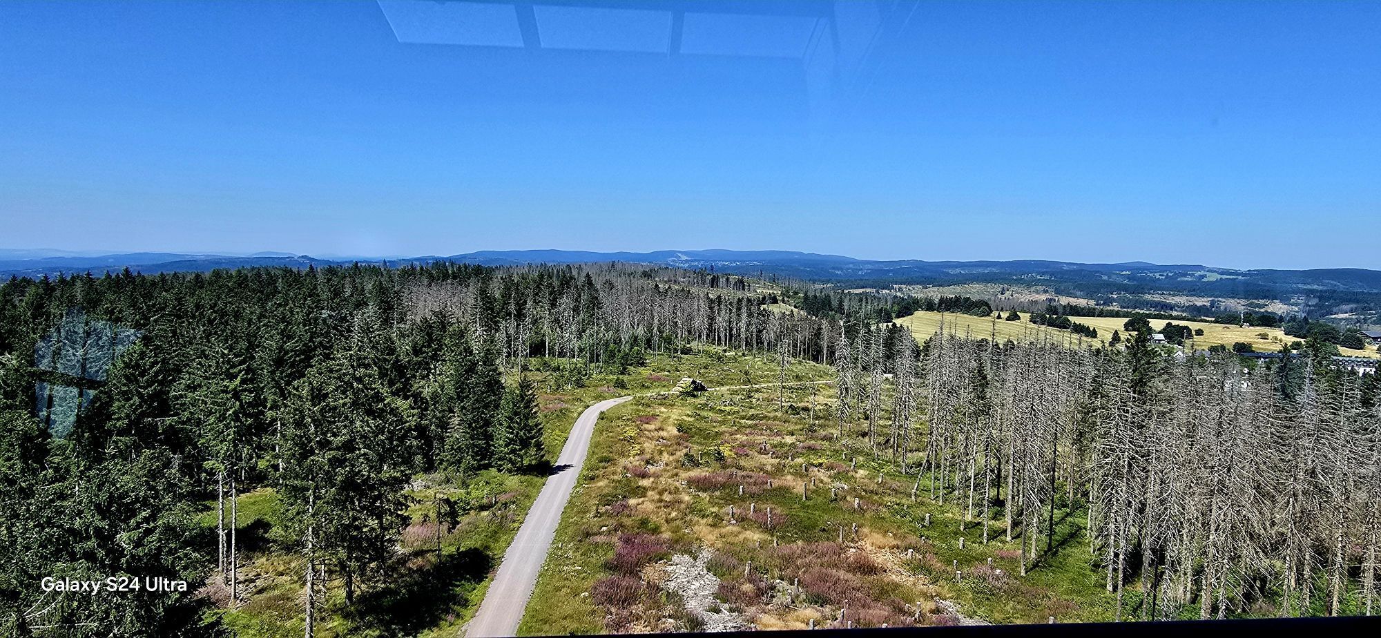
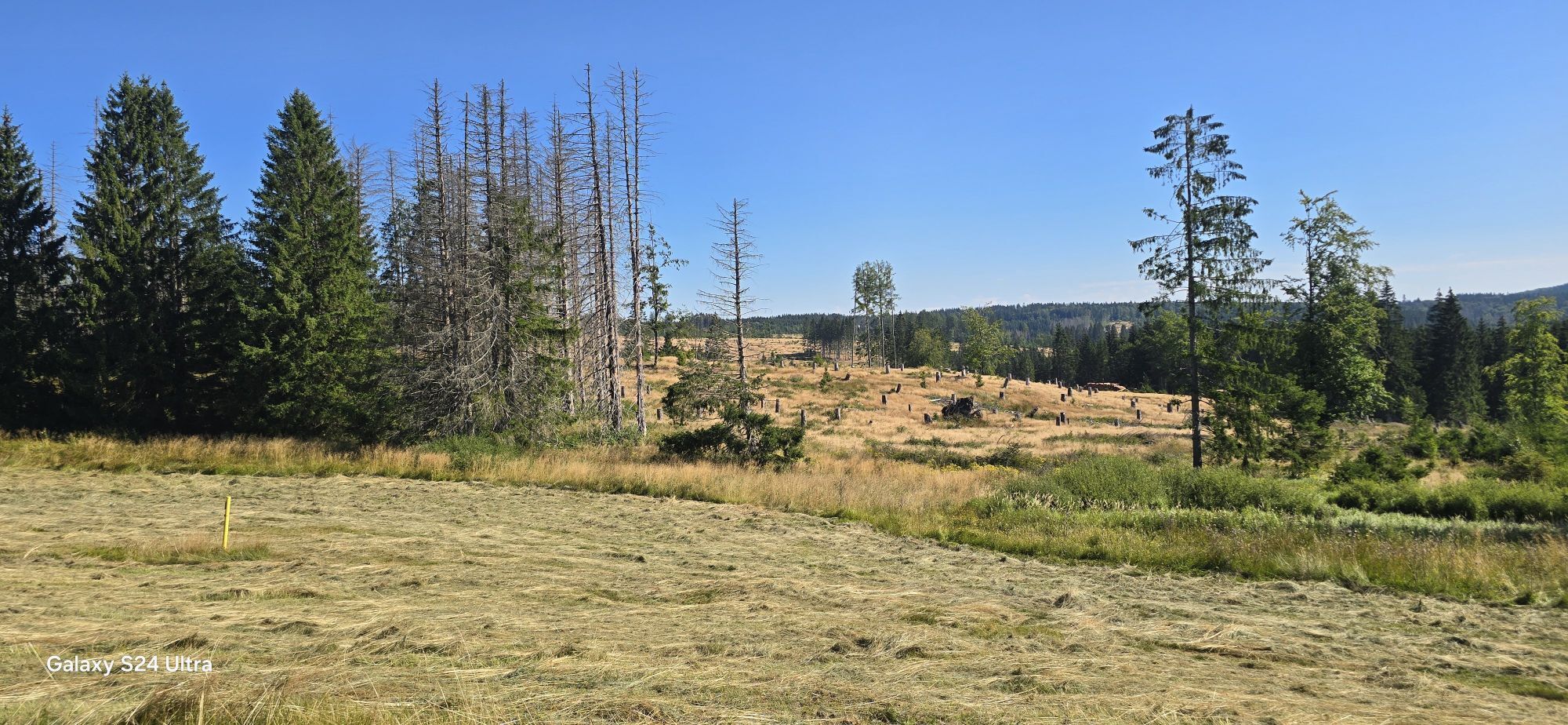
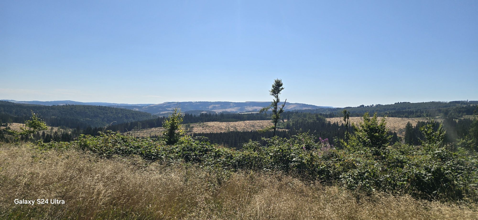
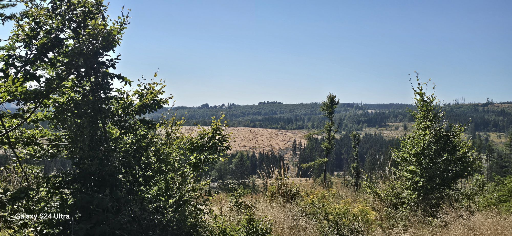
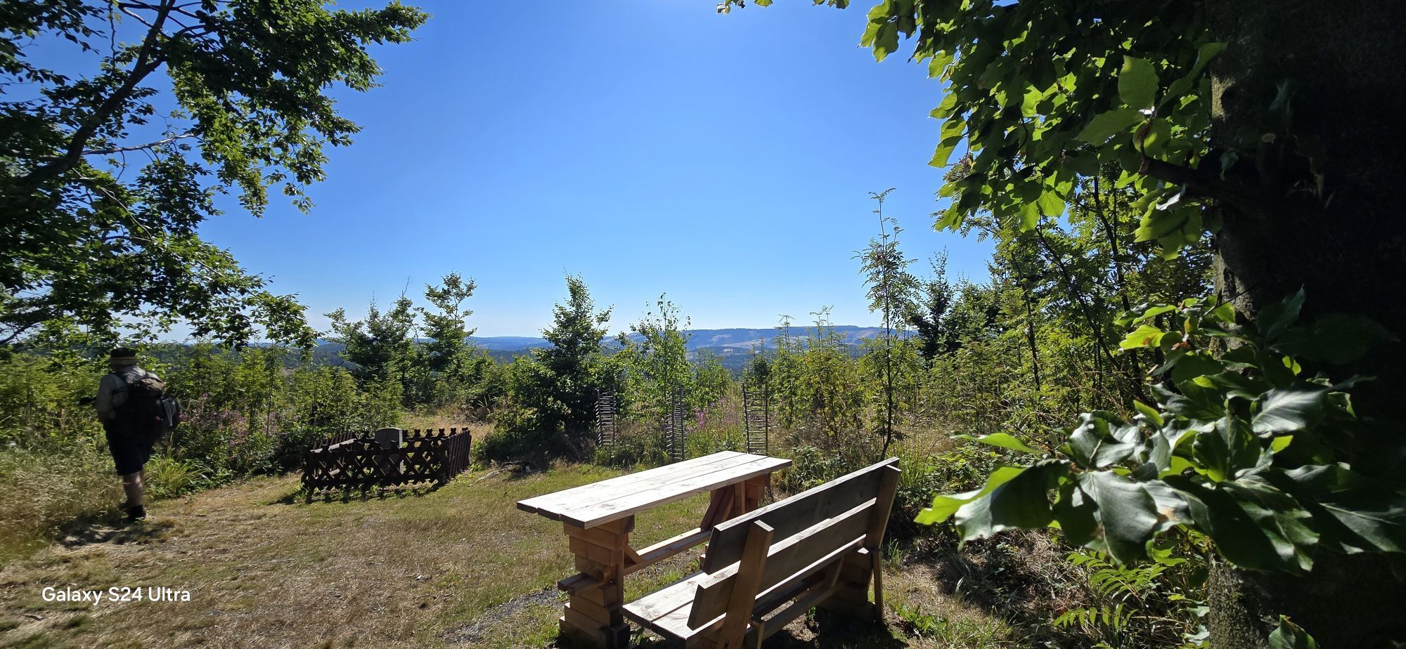
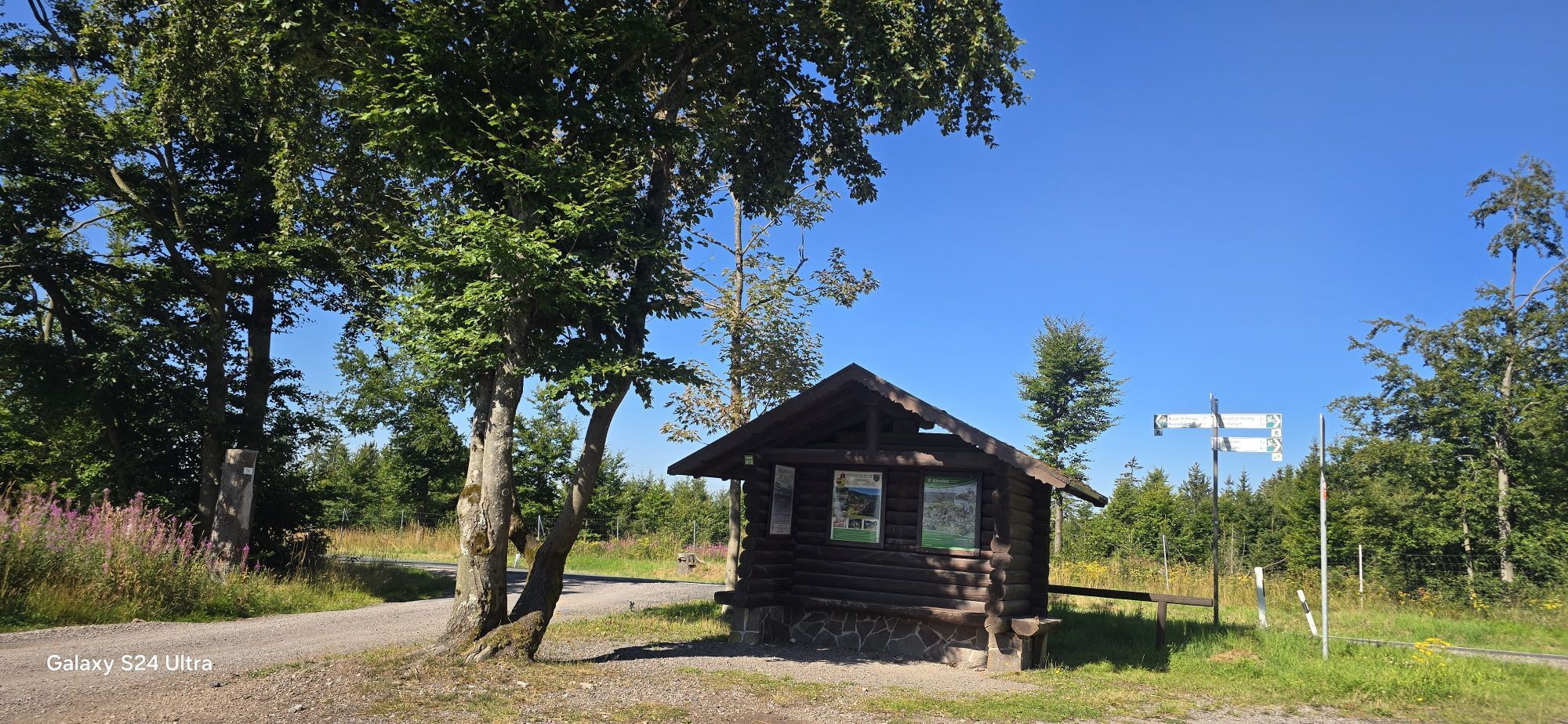
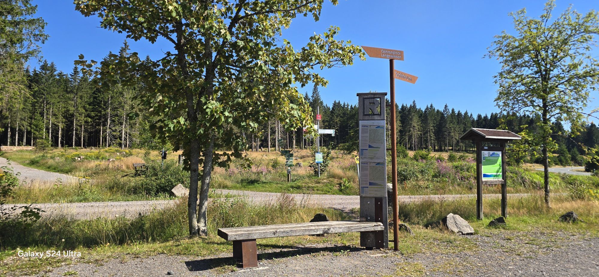
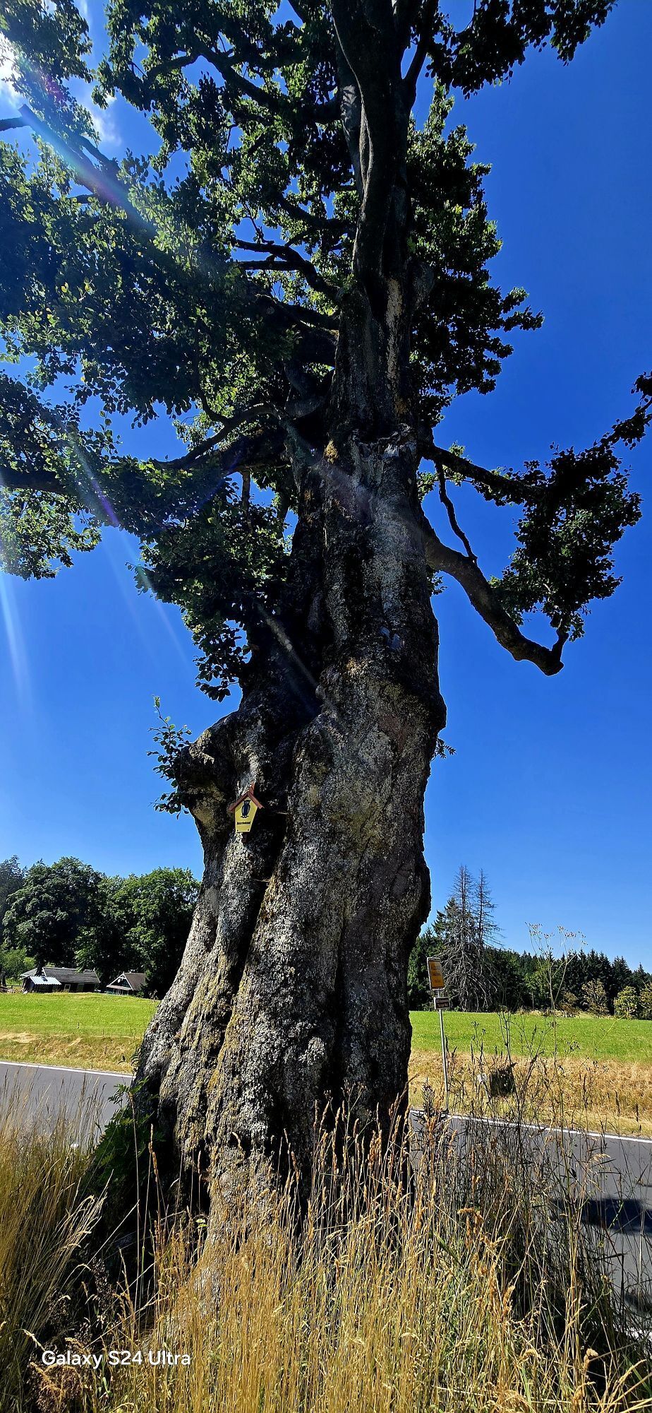
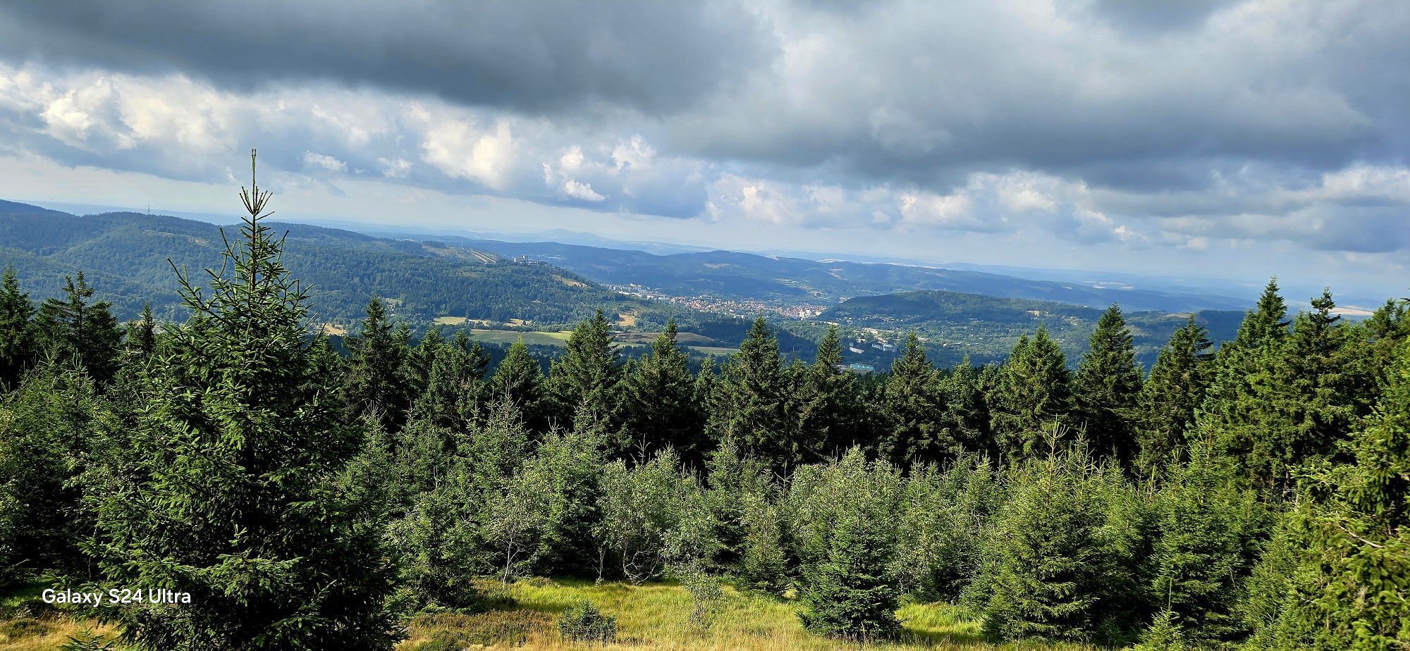
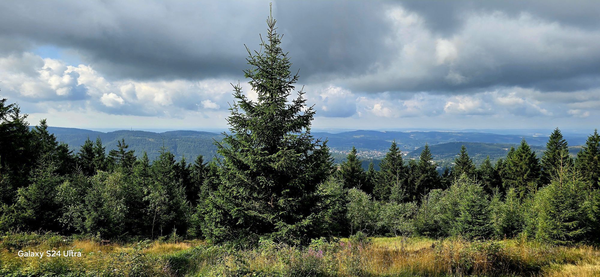
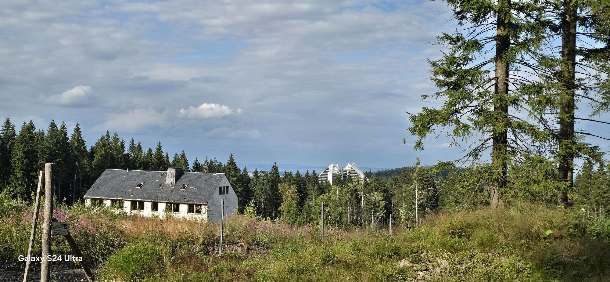
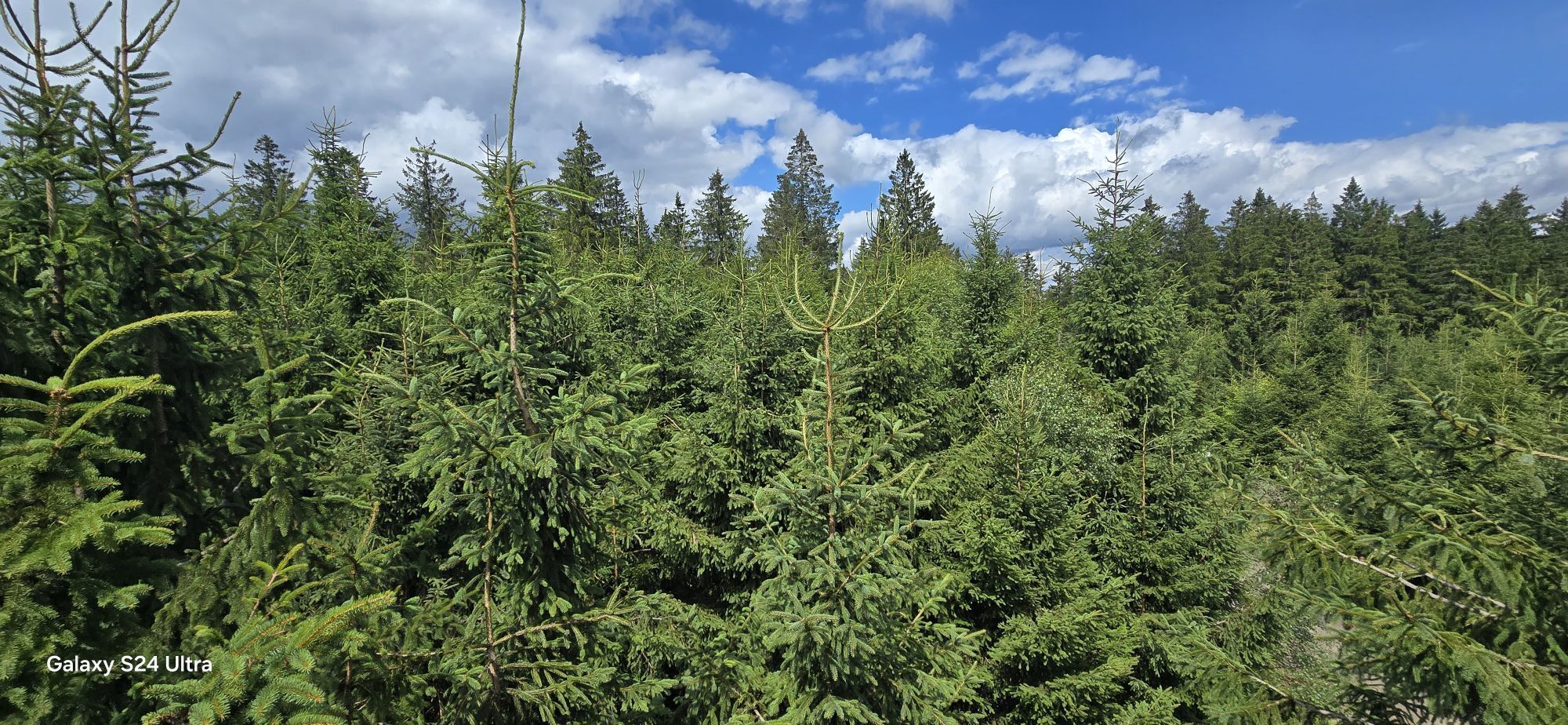
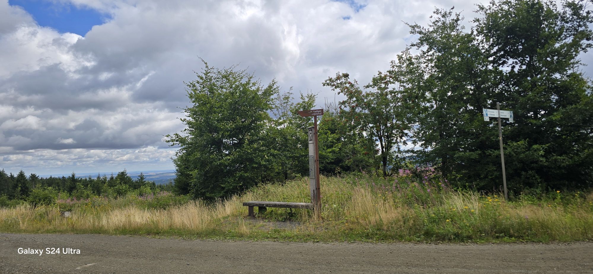
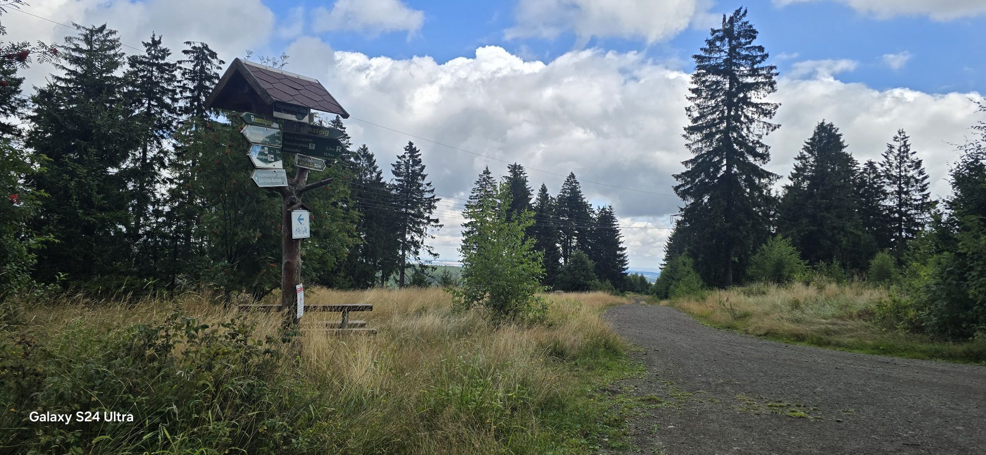
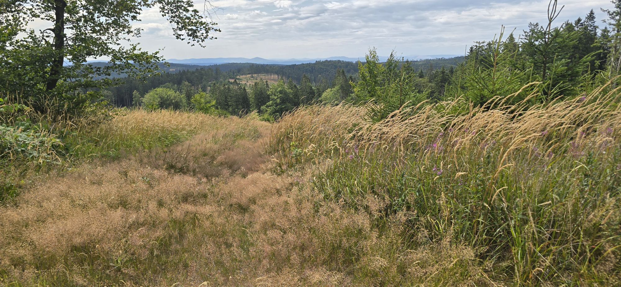
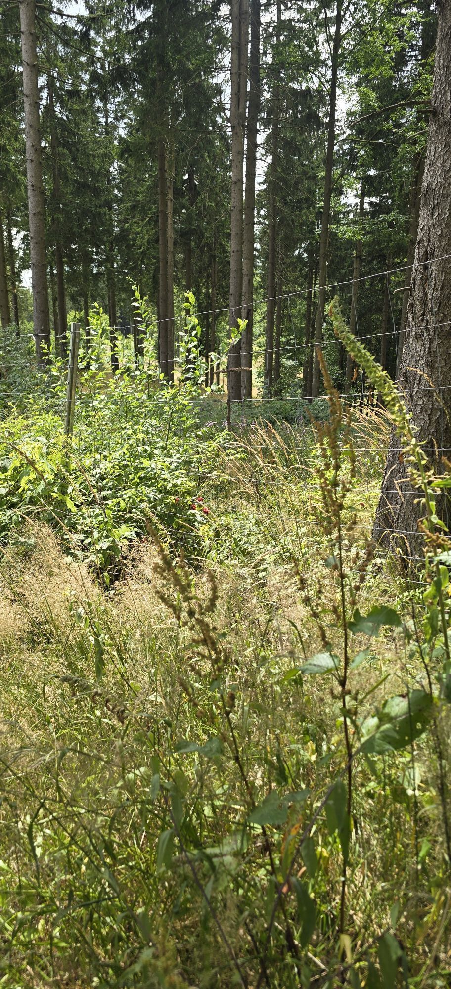
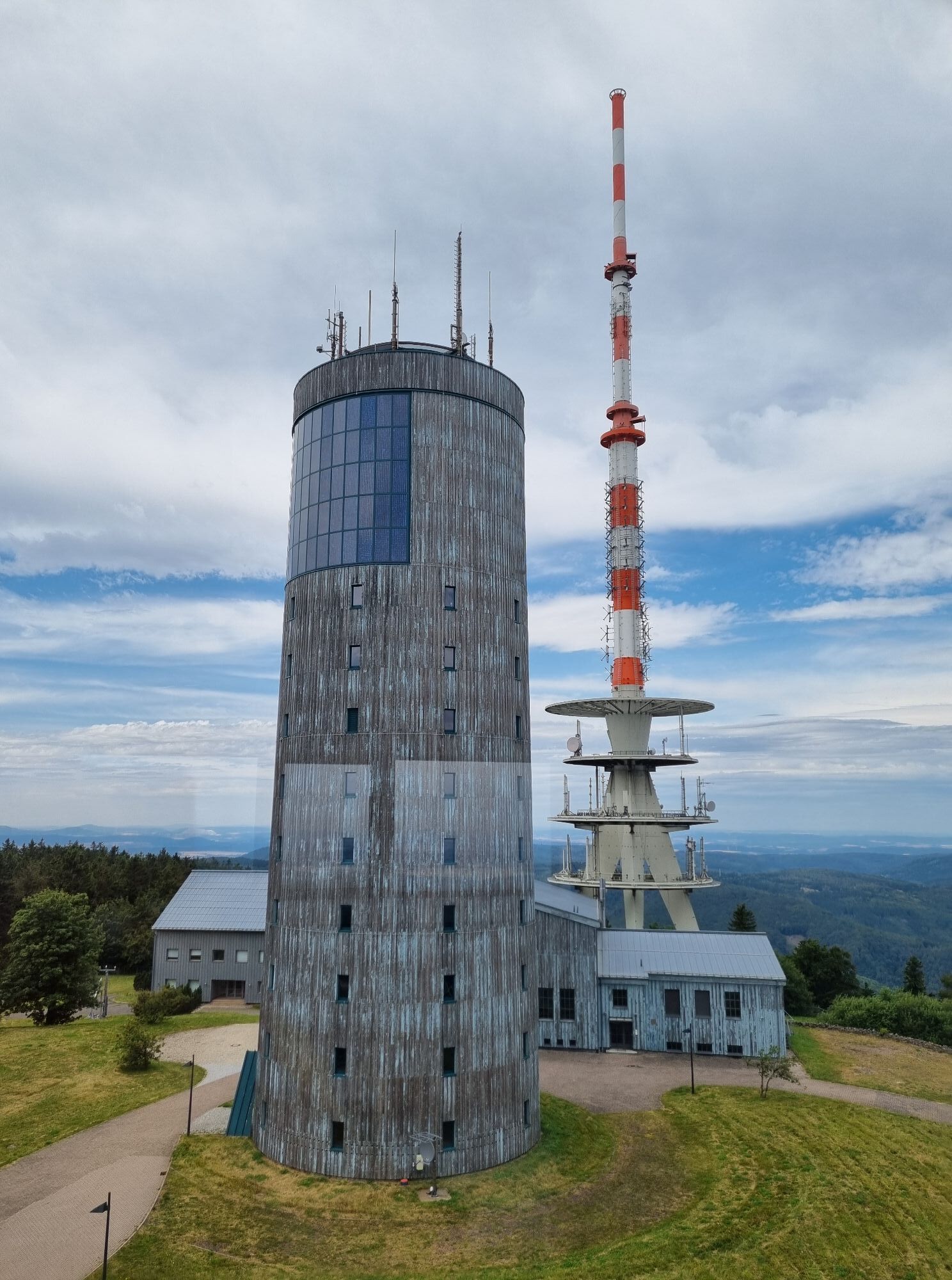
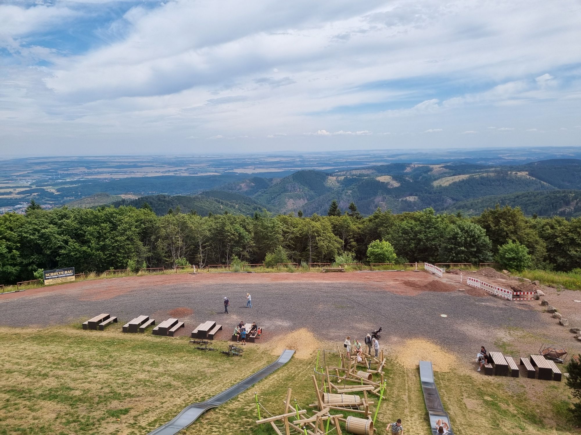
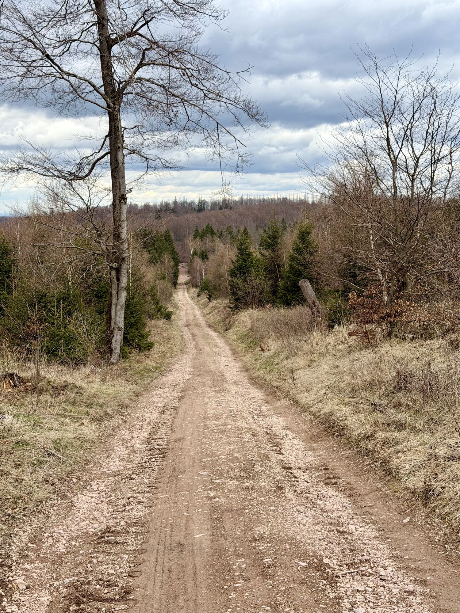
The Rennsteig-Xtrem-Marsch begins at the hiking support point Blankenstein/Saale with the login at its ECP (Success Control Point). From now on, after leaving the brightest beach of the Saale, the hiker...
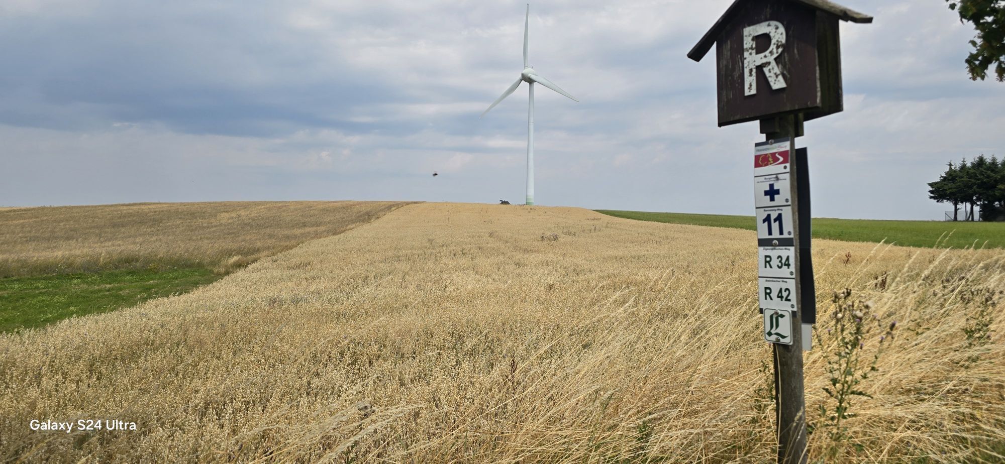
The Rennsteig-Xtrem-Marsch begins at the hiking support point Blankenstein/Saale with the login at its ECP (Success Control Point). From now on, after leaving the brightest beach of the Saale, the hiker remains continuously on the Rennsteig with its white "R" up to the Hohe Sonne near Eisenach. There are 14 other ECP logins in Brennersgrün/Rennsteighaus, Spechtsbrunn/Nature Park Information Center, Friedrichshöhe/Nature Park Center, Masserberg/Rennsteighaus, Waldhotel/Bunker Museum Rennsteighöhe, Oberhof/AWO SANO Holiday Facility, Neue Ausspanne/Rennsteighaus, Großer Inselsberg/Mountain Inn Stöhr, Dreiherrnstein/Forest Tavern, Ascherbrück/Pummpälz information board, Hohe Sonne/Pummpälz information board. Before crossing the B19, the last route of the Rennsteig to Hörschel/Werra is left, and with the same route length the path changes to the Lutherweg to the destination world championship city Gumpelstadt. The ECP login takes place at the Altenberger See campsite/reception, Luther’s birthplace Möhra/Luther monument, and finally Gumpelstadt/St. George’s Church Pummpälz information board.

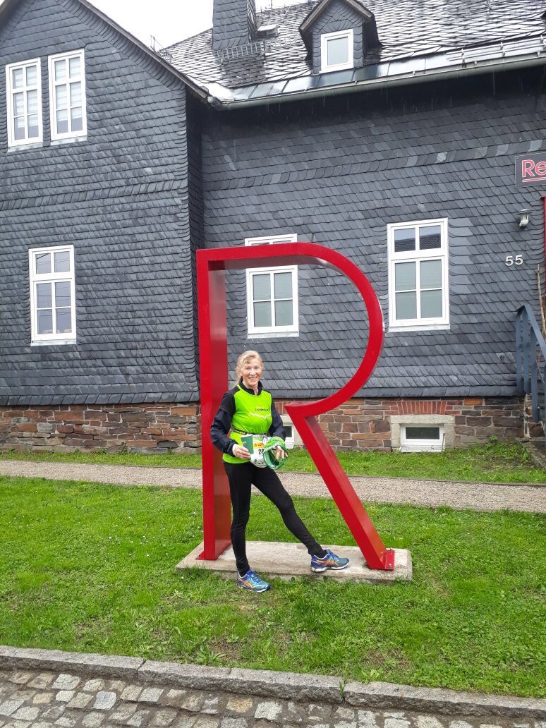
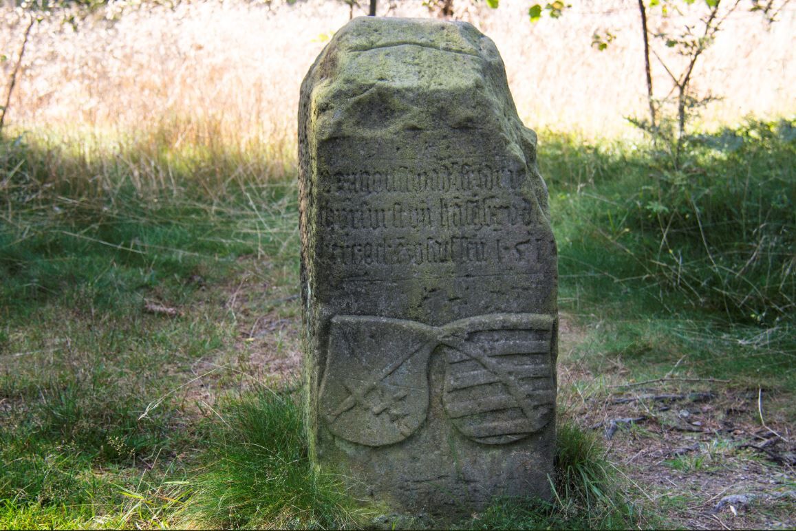
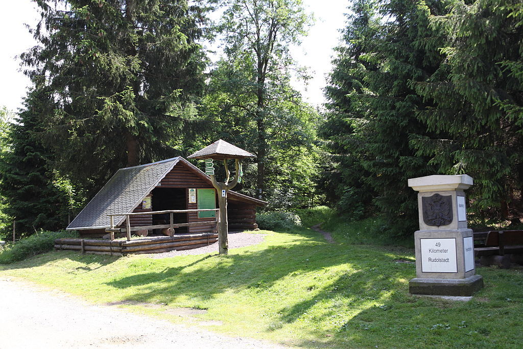
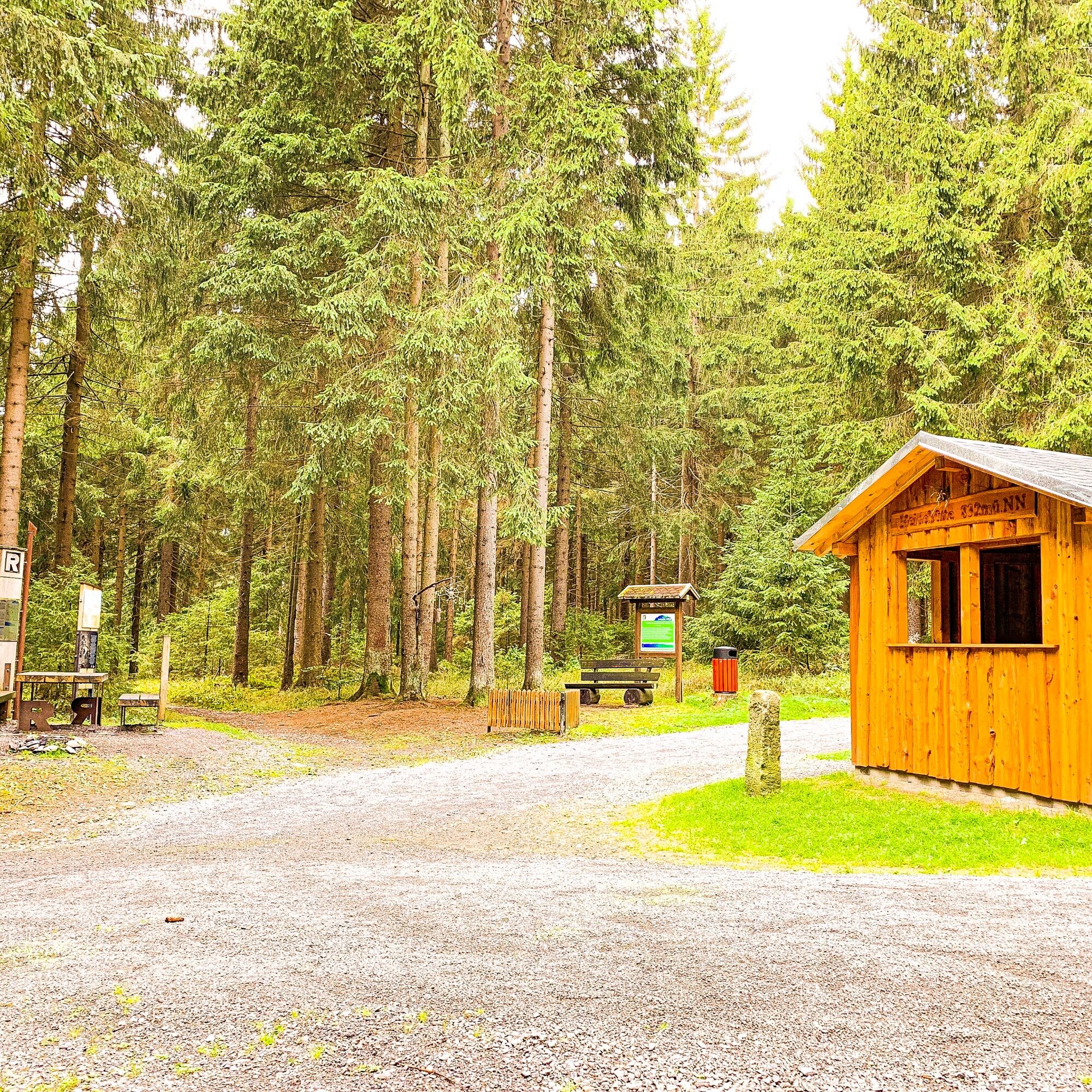
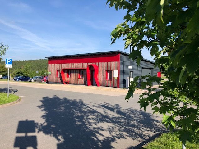
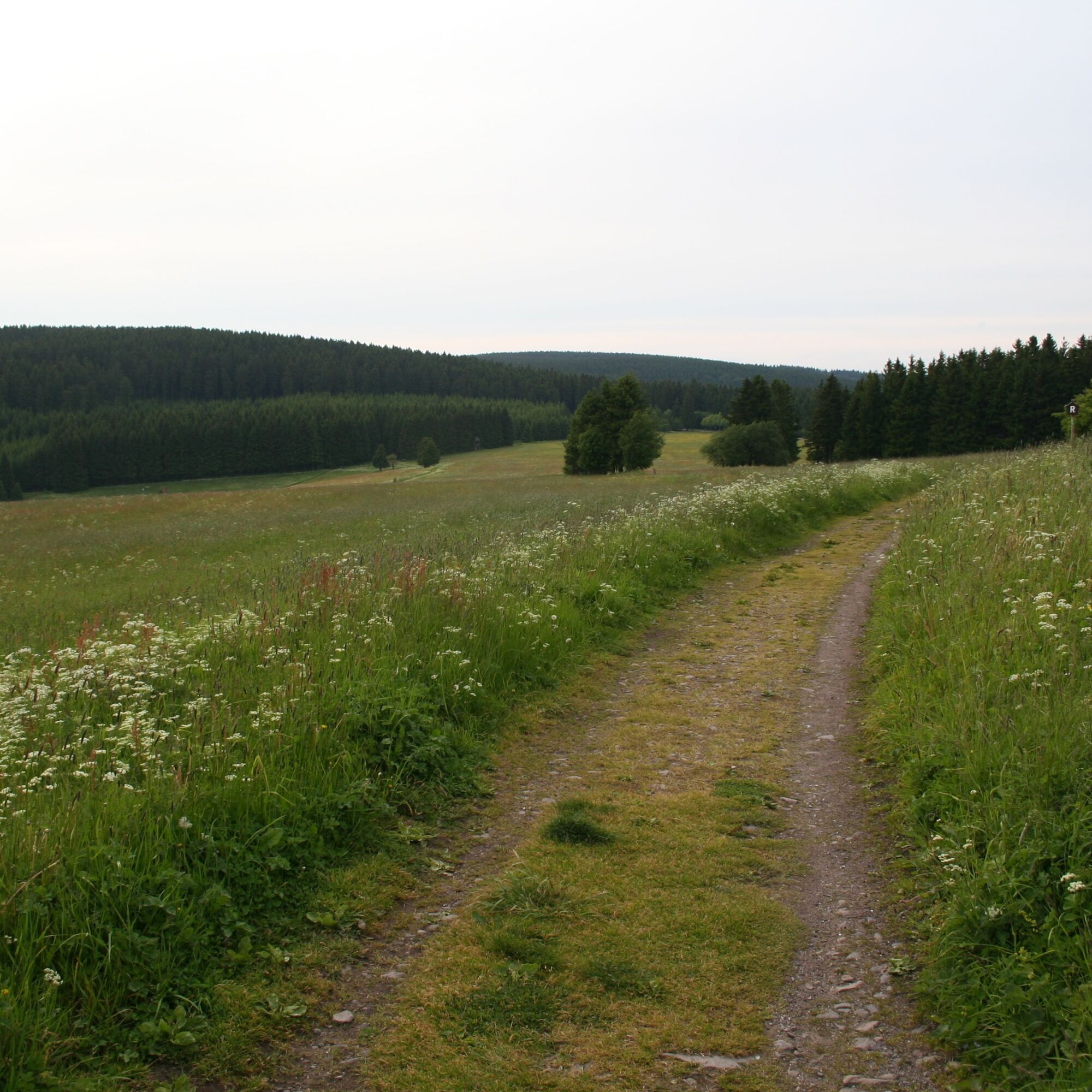
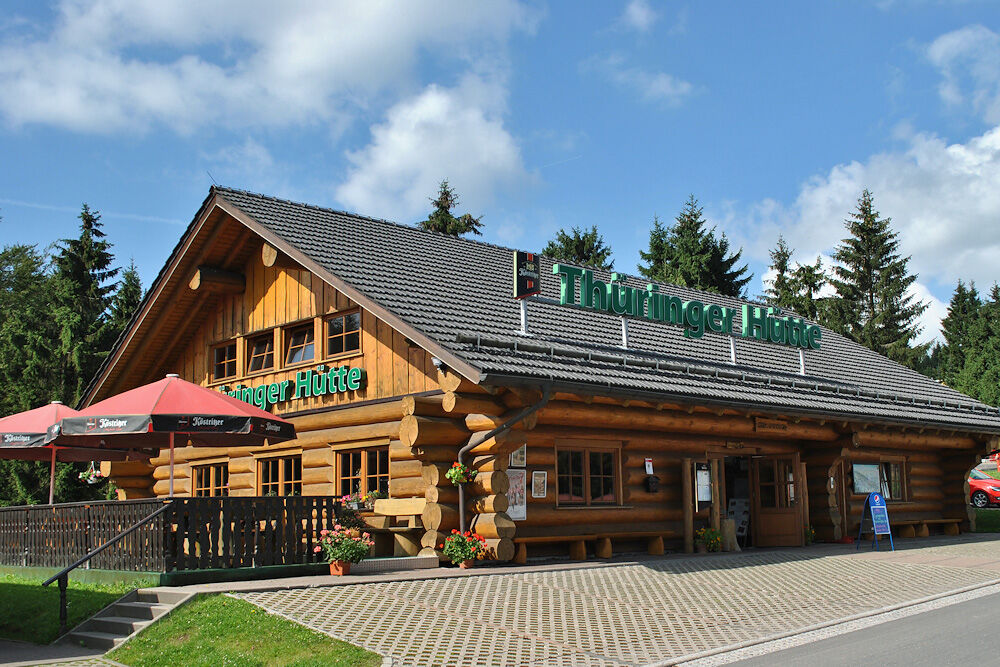
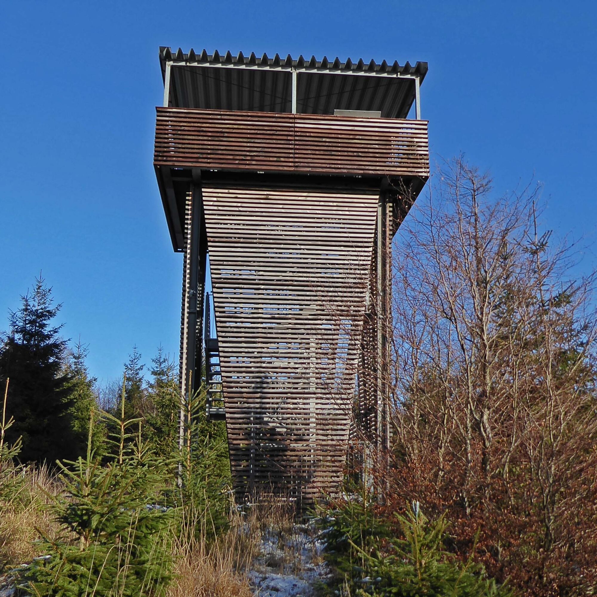
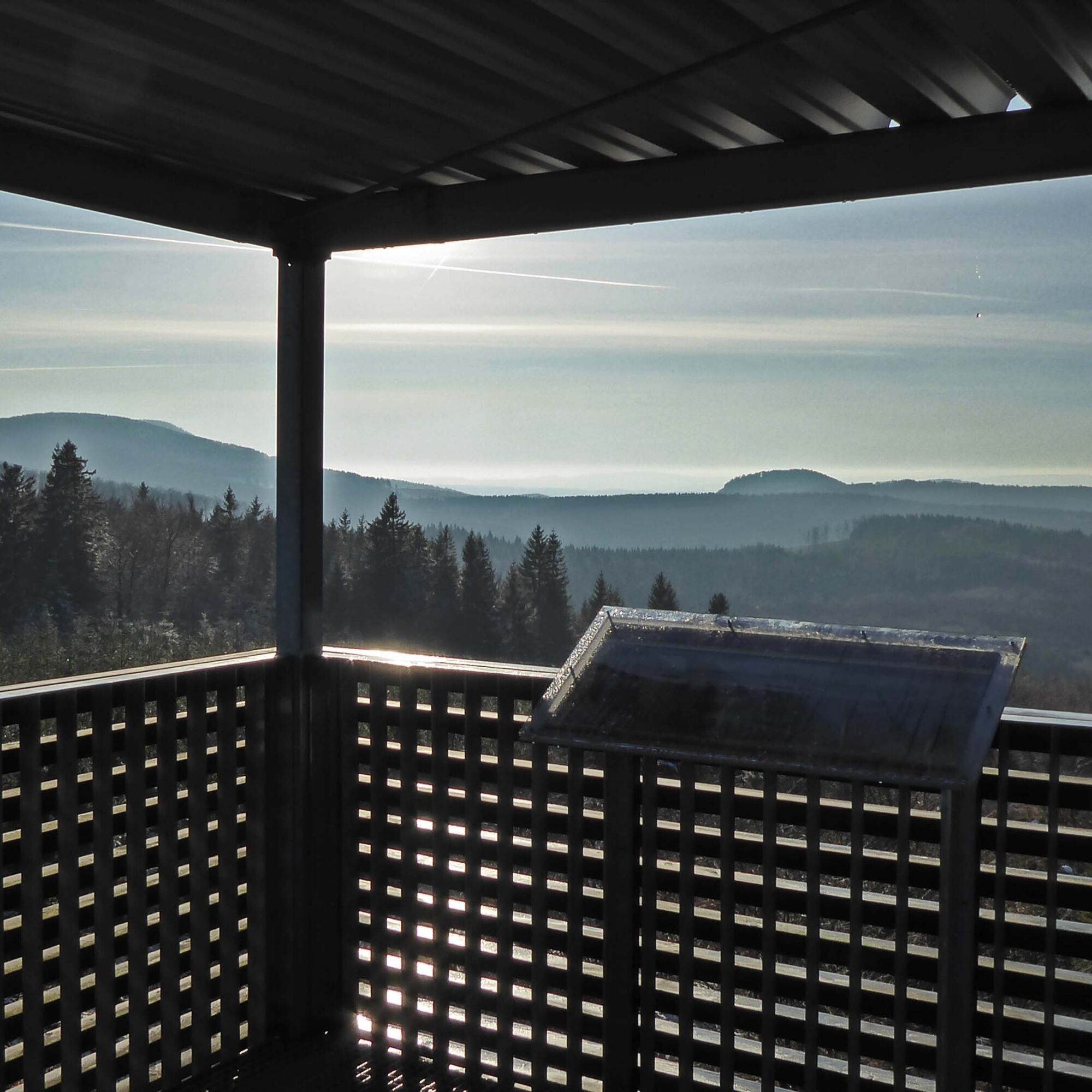
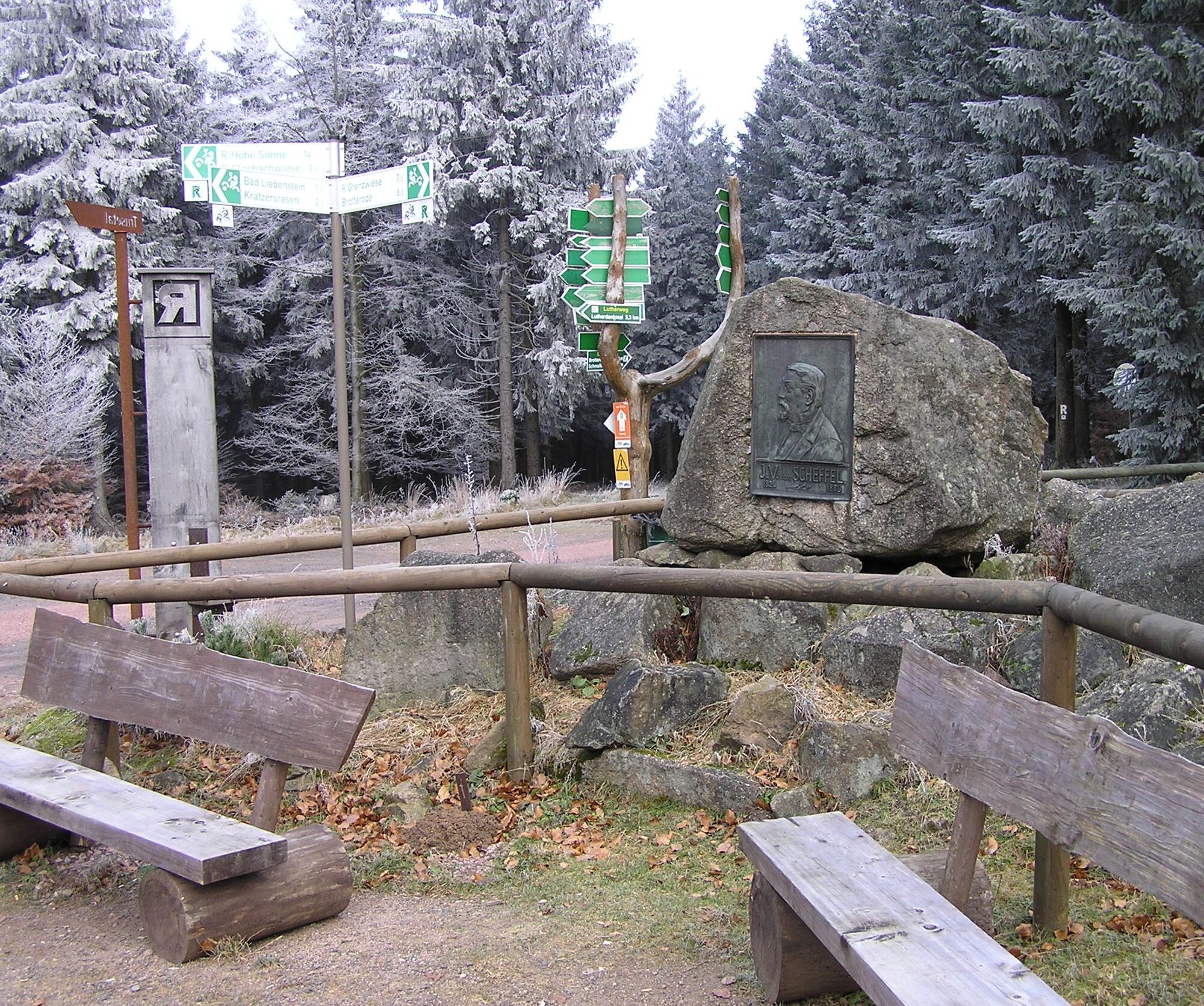
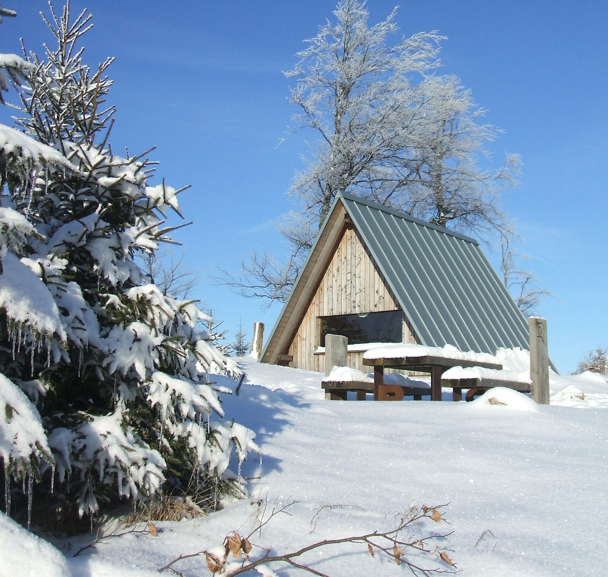
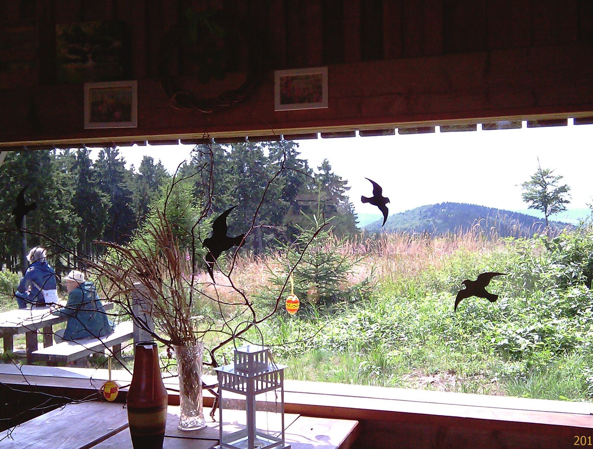
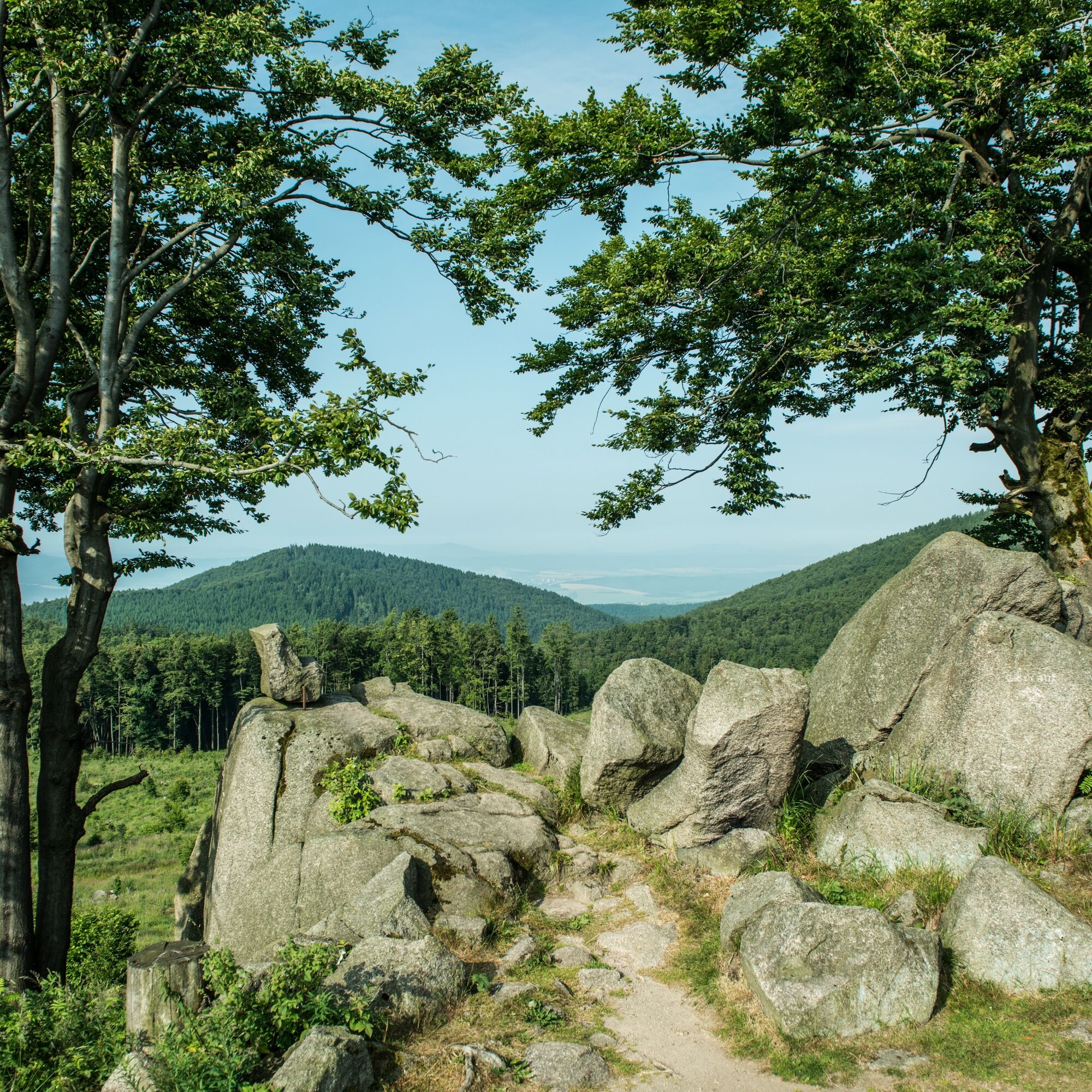
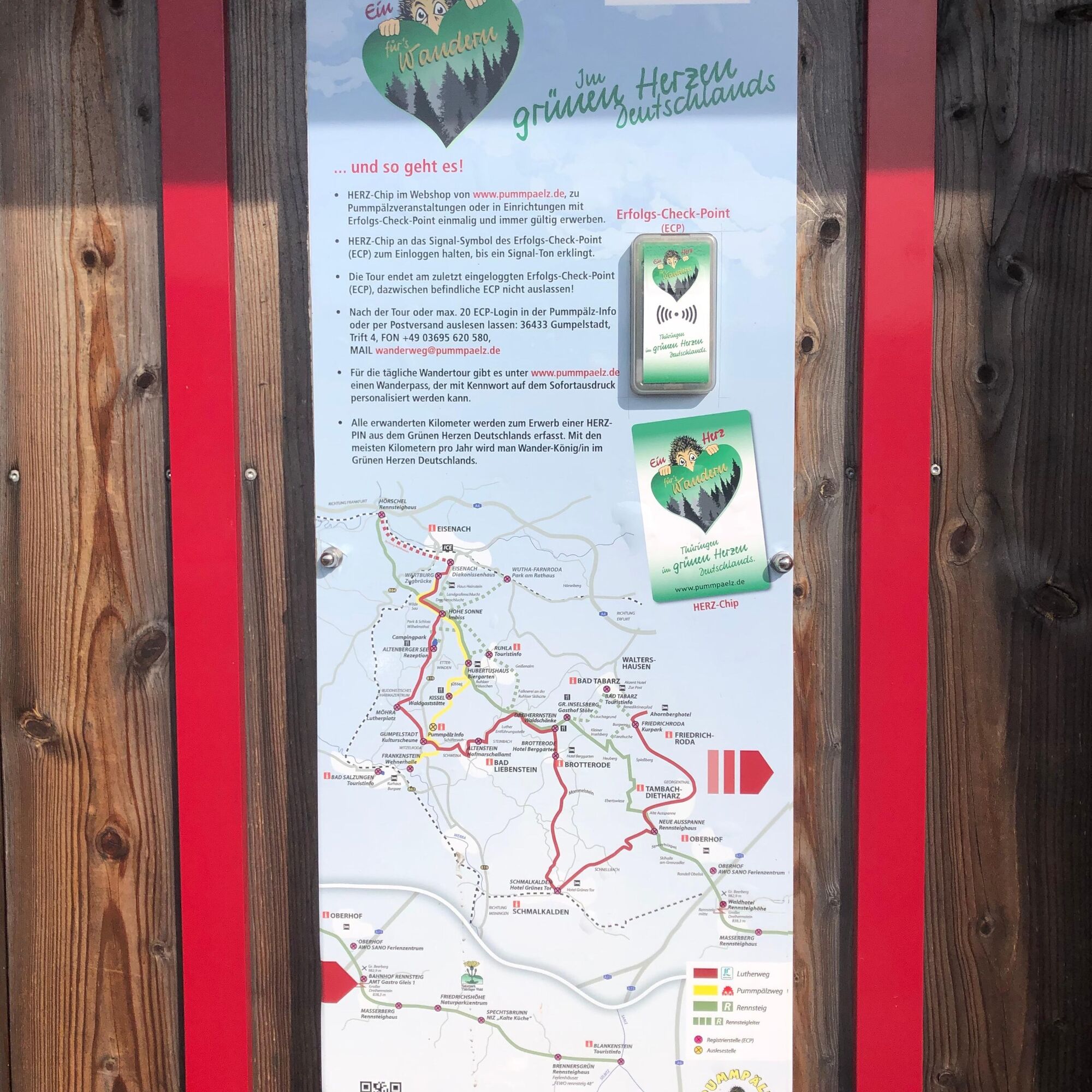
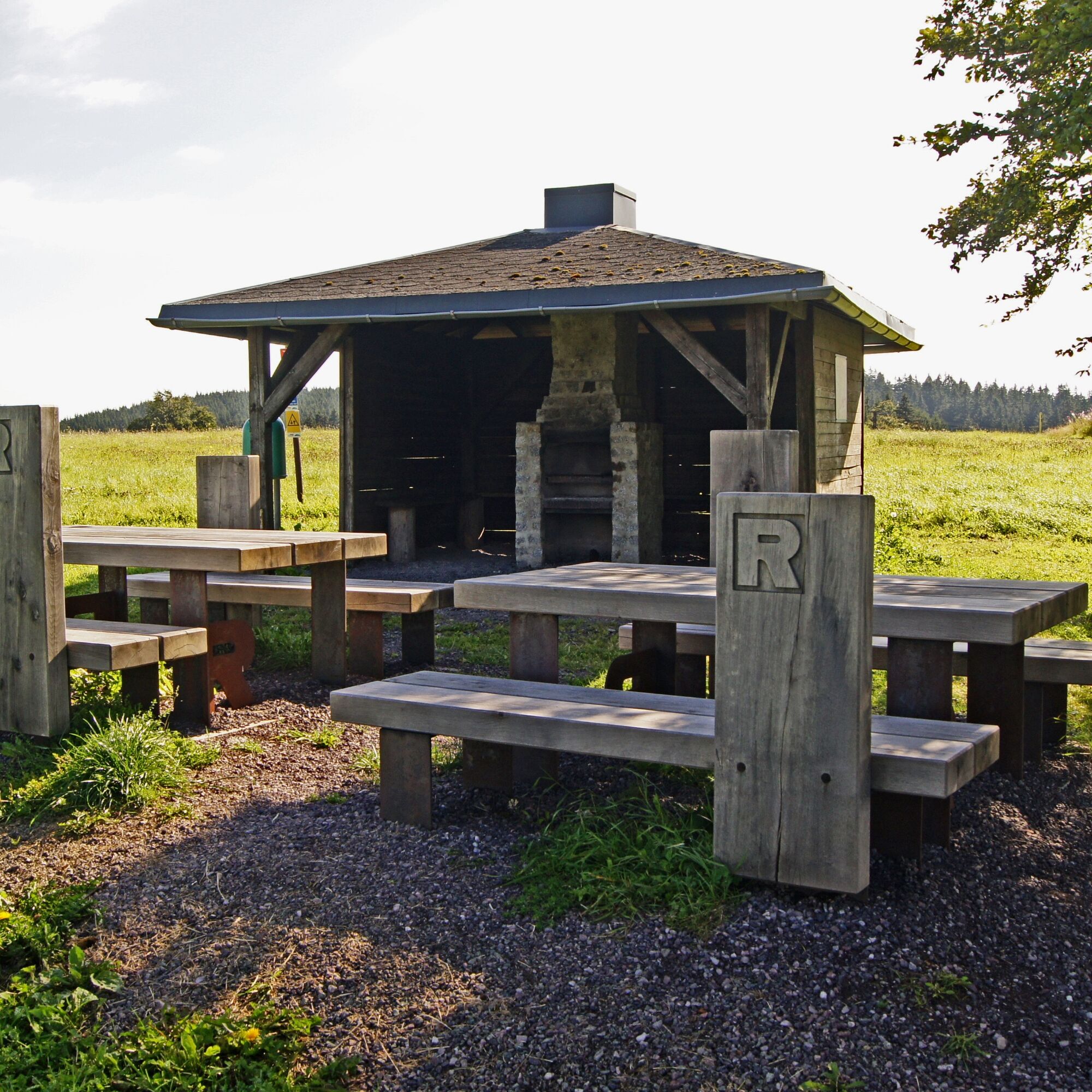
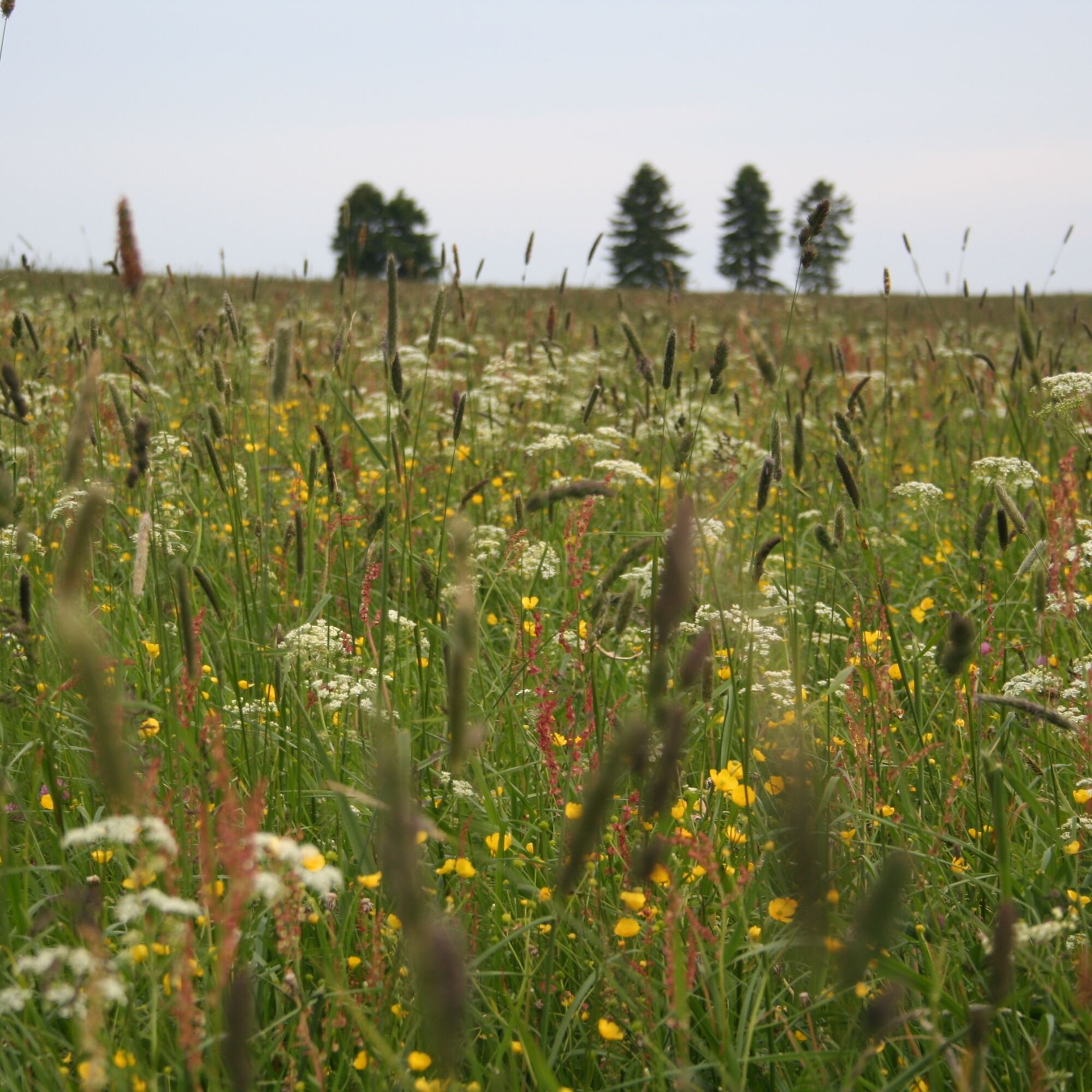
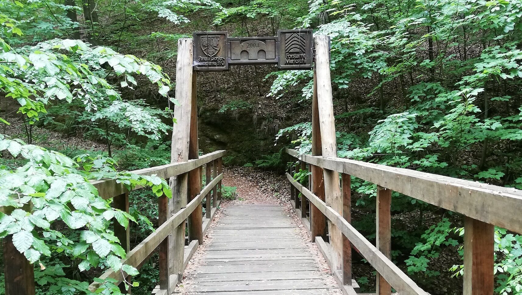

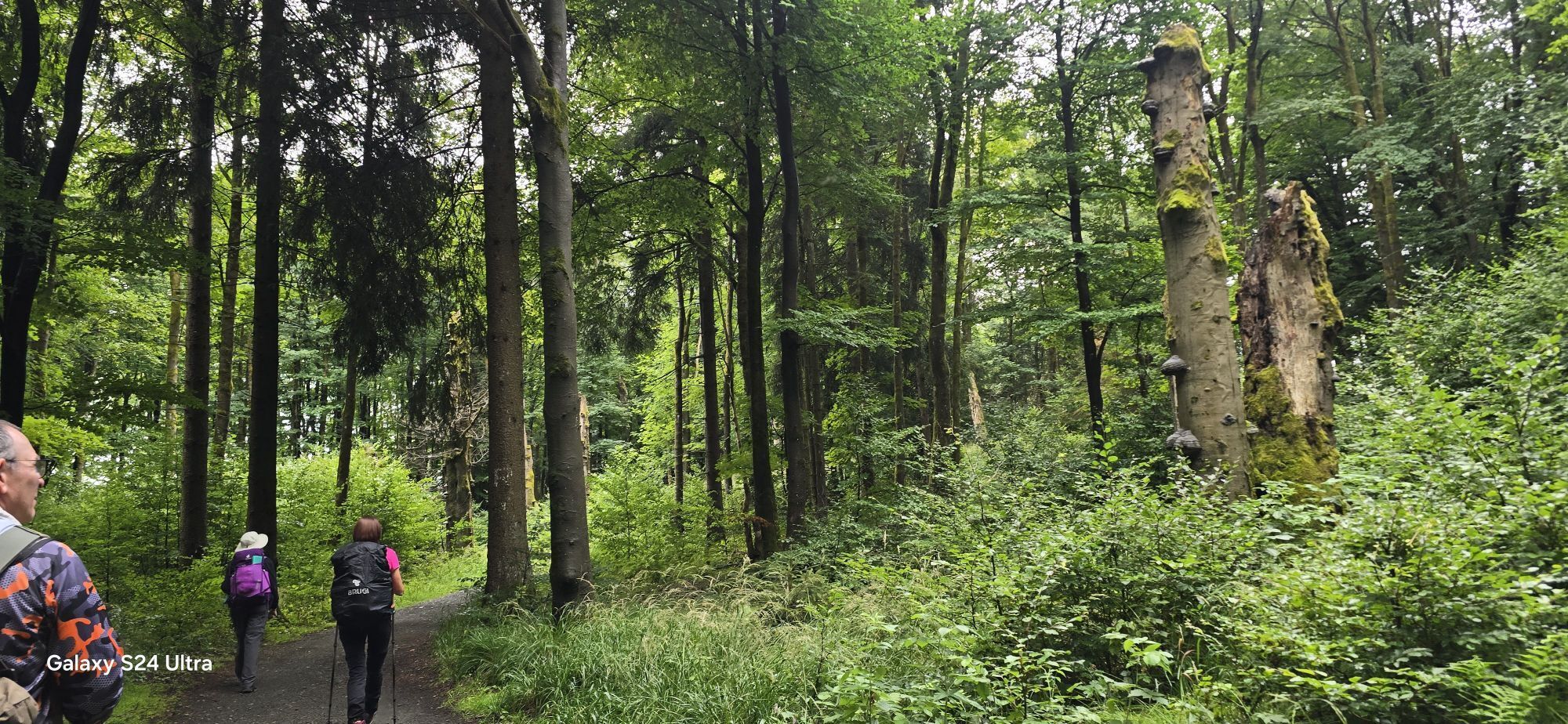
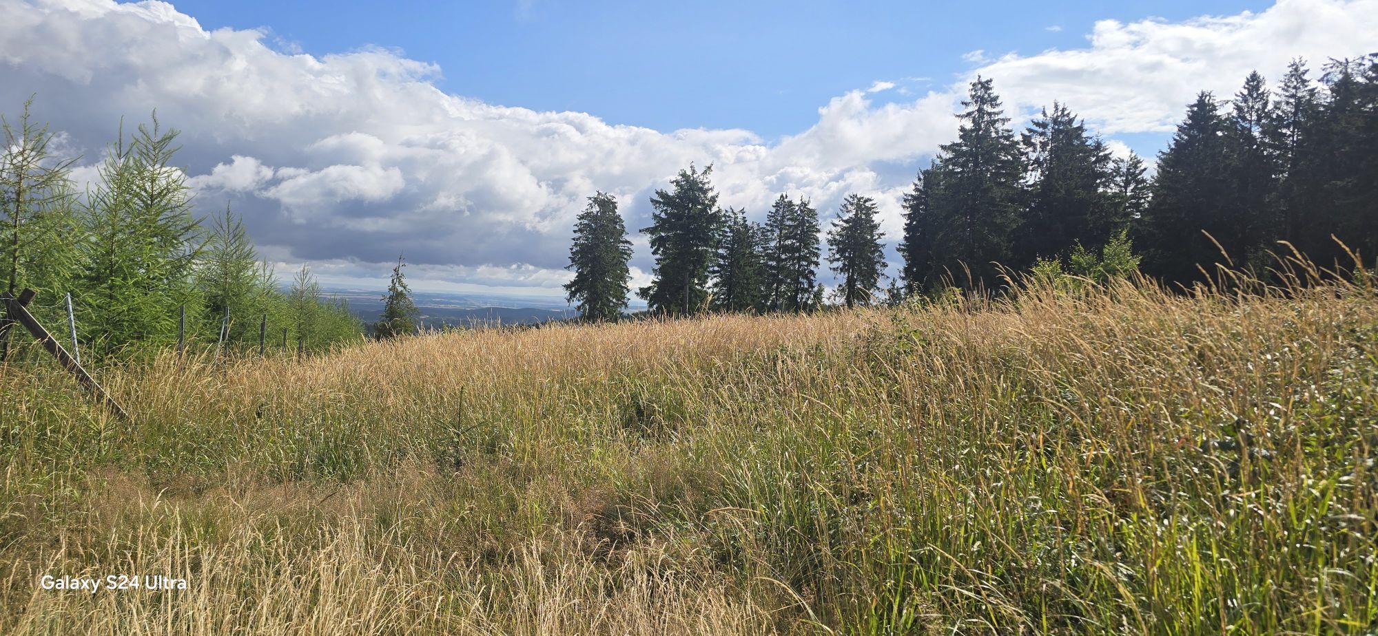
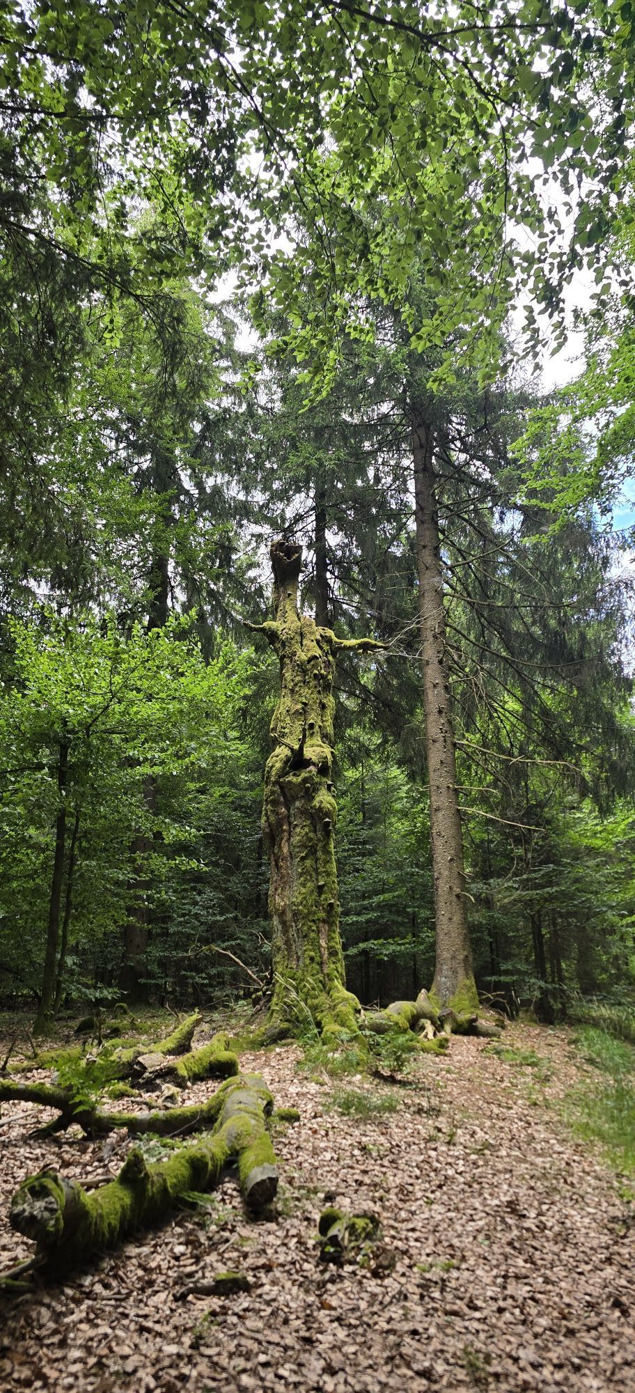
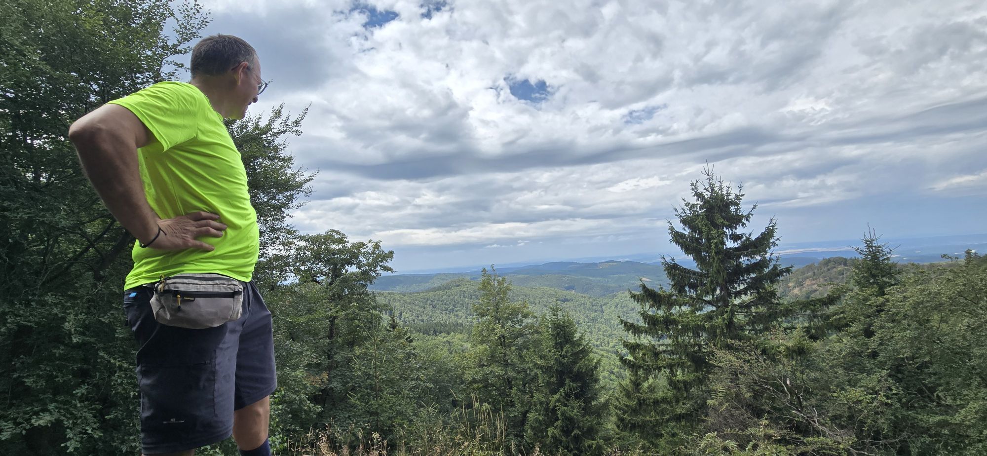
The main components of the route, the Rennsteig well marked with the white "R" up to the Hohe Sonne, and from there further on the Lutherweg with the green Fraktur "L" as a trail marker, lead the hiker to the destination and simultaneously the capital of Pummpälz, the world championship city Gumpelstadt, which has meanwhile been incorporated into the district, garrison, and spa town of Bad Salzungen on the Werra. At the beginning of the hike, you say goodbye to the border stream Selbitz, which formerly separated the Eastern Bloc from the West and today separates Thuringia and Bavaria, as well as the Saale, which with its dams forms the so-called Thuringian Sea. These testimonies of the pre-reunification period accompany the hikers for about 40 km after the start until Spechtsbrunn, often walking on Bavarian territory and even on former patrol roads of the inner-German border. Gradually, one leaves the Thuringian Slate Mountains and passes through the world-famous places of Thuringian glass art and Christmas tree decorations around Lauscha and Neuhaus am Rennweg. Up here, the Werra also rises, which after joining with the Fulda flows as a mighty river into the North Sea in Bremerhaven. The dispute between the two eternally quarrelling places over the actual source of the Werra will also be unsolvable for the marching hikers. Immediately adjacent to this, the Thuringian Forest Nature Park has established its headquarters in Friedrichshöhe. And if you haven’t noticed it yet, there is forest everywhere, forest as far as the eye can see, that’s the Thuringian Forest. The positive effects of this forest can be experienced at the next stop in Masserberg. This place is considered one with the cleanest air, which is why eye cures were even carried out here in the past. It remains no less interesting in Neustadt a.d. Rennsteig with the local cultural asset tinder fungus and in the Rennsteighöhe forest hotel with the bunker museum as a form of survival of communist bigwigs. Before that, the hiker has received the message at the Great Dreiherrenstein with the historic center of the Rennsteig and thought that from now on it would be downhill. Think again, it's uphill. After the Schmücke known worldwide through Herbert Roth and its innkeeper follows the highest mountain in Thuringia, the Beerberg with Plänckner’s view and finally Oberhof with the rondel, which is also dedicated to Plänckner. The Pummpälz also joins these honors for Plänckner as the first hiker of the entire Rennsteig with the Plänckner Cup. At the AWO SANO holiday facility located below the rondel, not only the ECP awaits, but the "WALK IN" also invites you in. Oberhof is left at the two world championship venues of winter sports in biathlon and luge. By the way, the marching discipline of our Pummpälz’s Asklepios-Quadrathlon also leads here to Oberhof. The path leads over the Sperrhügel, dreaded by cross-country skiers, to the Neue Ausspanne with snack bar, and further past the Ebertswiese with hotel, Spießberg and Heuberghaus to the Kleiner Inselsberg. From here you go up again strongly to the most beautiful mountain in Thuringia with its panoramic 360-degree view with observation tower. Now the elevation meters are done, but the supply point for Brotteröd winter sportsmen in the Brotteröder Hut, another Dreiherrnstein, the rock sea of Klöckner, Große Meilerstätte, the Auerhahn shelter of the Ruhla mountain rescue service, the merging Pummpälzweg up to the Hohe Sonne lead downhill but must first be mastered. At the Hohe Sonne, whose hunting lodge of the Dukes of Saxe-Weimar-Eisenach is being saved from final decay on a private initiative, it goes down into the valley via the Hochwaldgrotte to the park and castle of the Dukes, another delicacy in the making. Past the peaceful Alenberger Lake of the Eisenach camping park and ECP, the hiker strives through oak forests over the Möhrsche Kuppe, past probably the only Buddhist center to Luther’s birthplace, where everything is Luther. The final path leads through the Moorgrund, the ground of a primeval sea that reached up to the already known Klöckner at 700 m above sea level as the Ruhla island. Whoever now arrives in the world championship city of Gumpelstadt is fortunately not required to swim, but we’d rather not ask in what condition one feels after 169.7 km nonstop.
Tak
Tak
usual hiking equipment
Each participant must register their mobile phone number before the start and should always be reachable during the hike. Furthermore, carrying a headlamp with sufficient spare batteries is mandatory. In general, smoking is prohibited, as is lighting fire pits, and dogs must be kept on a leash, which imposes great responsibility on the owners during the fawn-setting period.
Travel is by train to the ICE station Eisenach. From there, you can travel daily by up to nine trains to Blankenburg/Saale.
You can reach Brennersgrün by bus line 610 from the direction of Bad Lobenstein (connection to Deutsche Bahn). The current timetable can be viewed here using the line search.
For travel planning, you also have the Deutsche Bahn travel portal available.
You can travel comfortably from Blankenstein with trains of Deutsche Bahn. → Travel information
Individual travel to the starting point at Blankenstein. For questions, please send an email to wanderweg@pummpaelz.de
In front of the hiking support point, there is a generously designed parking lot with WC at Selbitzplatz.
T1
Pummpälzweg e.V.
World championship city Gumpelstadt
Trift 436433 Bad Salzungen
Tel.: +49 3695 620 580
Fax: +49 3695 85 20 86
Email: wanderwegpummpaelzde
Web: www.rennsteig-wander-wm.de
One of the longed-for goals in life that one should have done once.
Kamery internetowe z trasy
Bergstation Großer Inselsberg
Fallbachhang Bergstation
Haus des Gastes in Oberhof
Frauenwald am Rennsteig
Tabarz
Berggasthof "Spießberghaus"
Friedrichshöhe - Naturpark Thüringer Wald
Neustadt am Rennsteig
Rennsteiggarten Oberhof
Berggasthof "Spießberghaus"
Pension Schmiechen Oberhof
Kleiner Inselsberg / Sommerrodelbahn
Brotterode - Berggasthof Stöhr
Steinbach-Hallenberg / Am Knüllfeld
Lauscha
Lauscha
Friedrichroda - Berghotel
Bad Tabarz - Aussichtsturm Inselsberg
Ruhla - Sommerrodelbahn
Ruhla - mini-a-thür
Rennsteig - Loipe am Stein 16
Oberhof - Schneekopfturm
Rennsteig Bahnhof
Kiesellift Tettau
Sportgymnasium Oberhof
Sachsenbrunn - Bleßberg
Golfkletterpark Oberhof
Tettau in Oberfranken
Wildberglift Tettau
Schlossberg Stützerbach
Ferien Hotel Rennsteigblick
Rennsteigwarte Masserberg
Masserberg
Obenauf - Neuhaus am Rennweg

Popularne wycieczki w okolicy
- 4,4
Circular route - Around the Heyda Dam - Thuringian Forest
średniWędrówka 7,59 km - 4,7
Hike over the Rennsteig & the Schneekopf to the Schmücke
ciężkiWędrówka 21,0 km - 5,0
Naturlehrpfad Gießübler Schweiz
średniWędrówka 7,99 km - 3,0
Circular hike - "4 ponds hike" Neustadt am Rennsteig - Thuringian Forest
ciężkiWędrówka 12,6 km - 3,8
Rundweg Talsperre
średniJazda na rowerze 14,5 km The Rennsteig - long-distance hiking trail from Hörschel to Blankenstein - Thuringian Forest
ciężkidługodystansowy szlak pieszy 169,0 km- 5,0
Circular hiking route - TOP 1 - Werra Source - Masserberg - Thuringian Forest
średniWędrówka 5,94 km - 5,0
Hiking - Summit hiking trail - Suhl-Goldlauter - Thuringian Forest
ciężkiWędrówka 32,1 km - 4,2
TOP 5 - circular hiking route - "Forsthaus Sattelbach" - Oberhof
światłoWędrówka 3,67 km - 5,0
Rundtour Staudamm
światłoWędrówka 3,91 km
Wędrówki i tropienie


Nie przegap ofert i inspiracji na następne wakacje
Twój adres e-mail została dodana do listy mailingowej.





