






Cycling tour - 13 - "From Bad Lobenstein to Blankenstein into the wild Höllental" Thuringia

Poziom trudności: 3

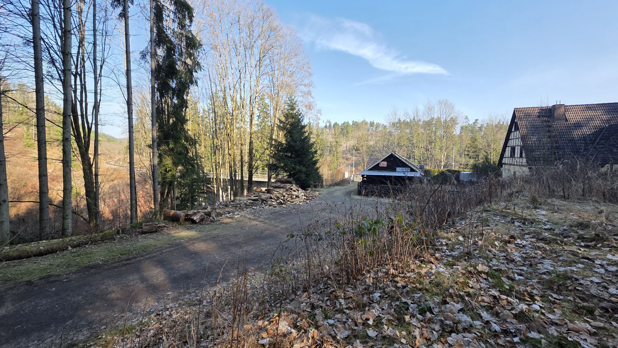
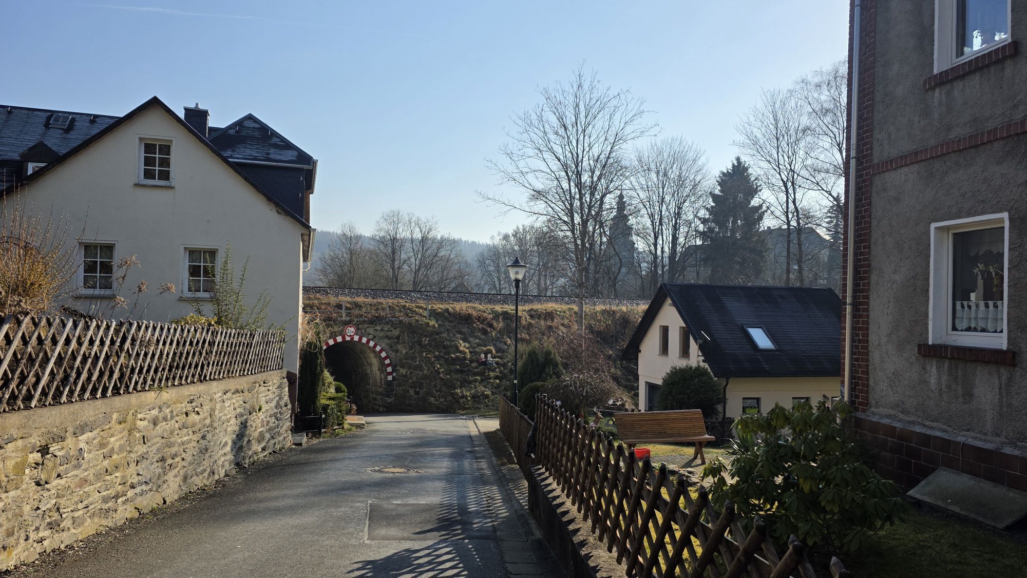
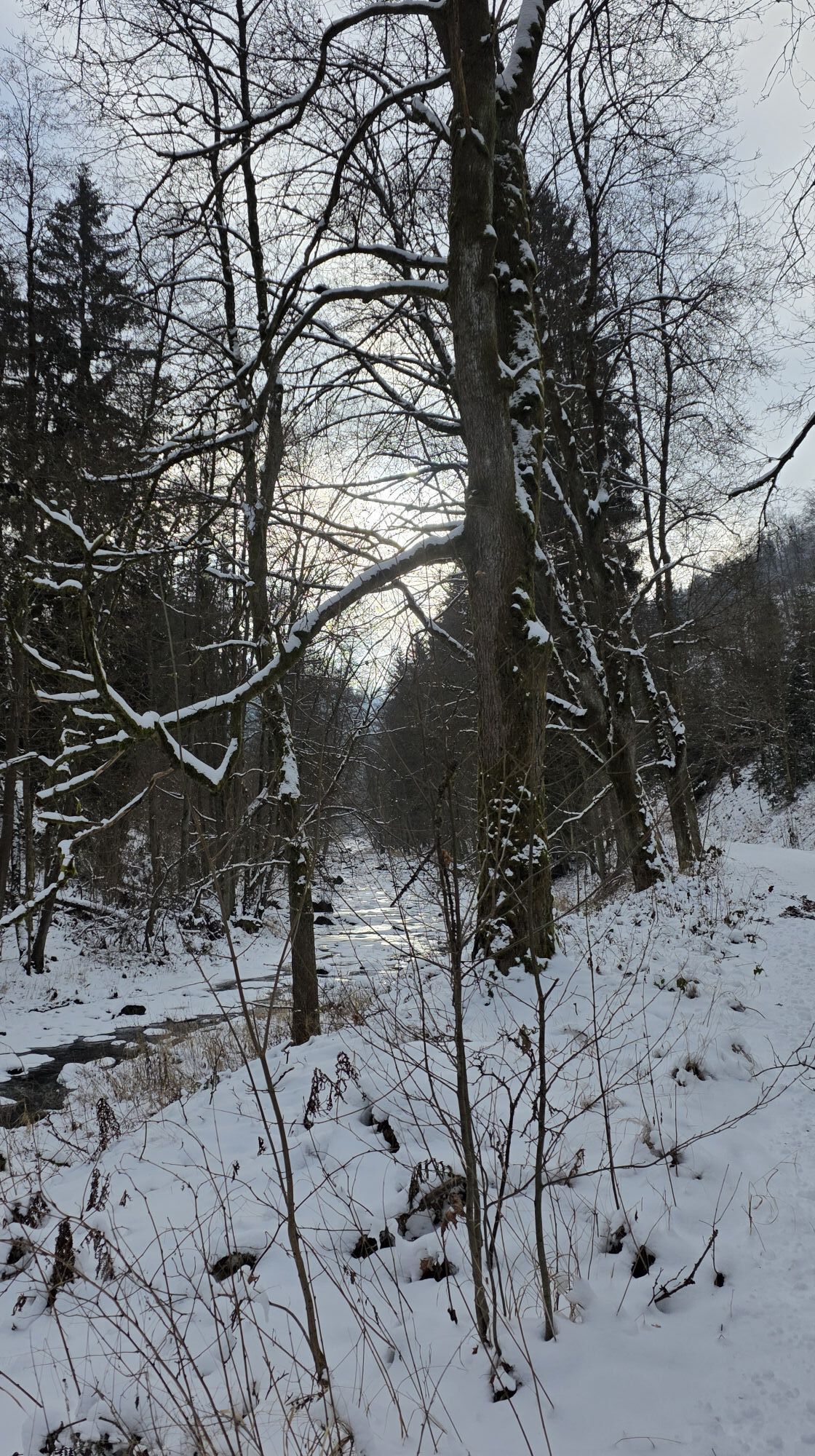

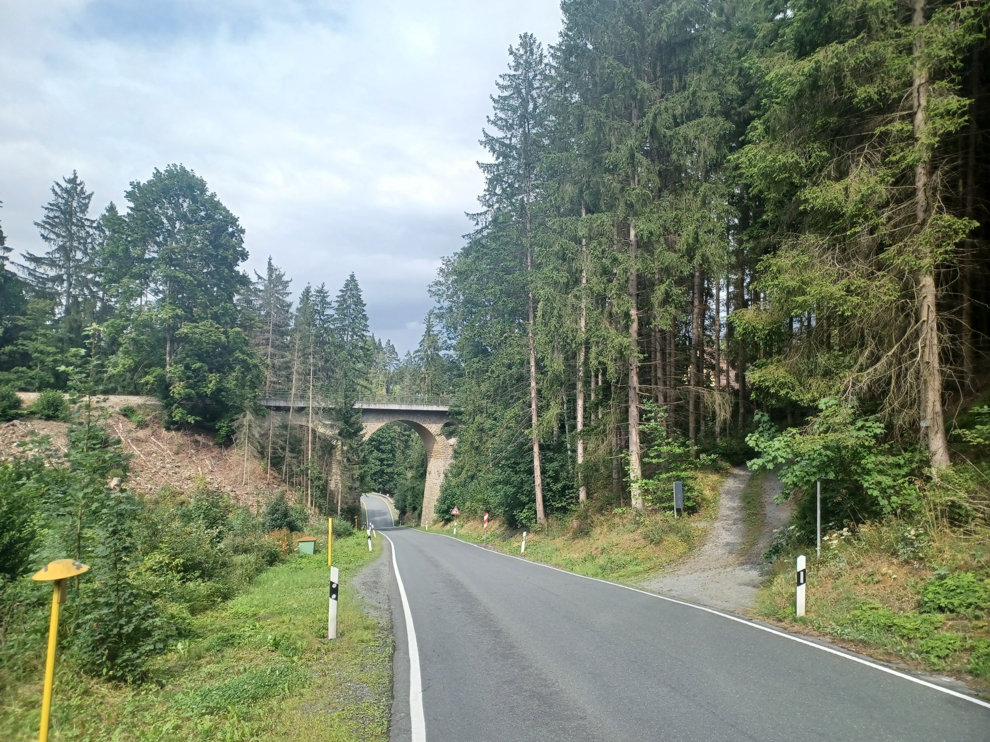



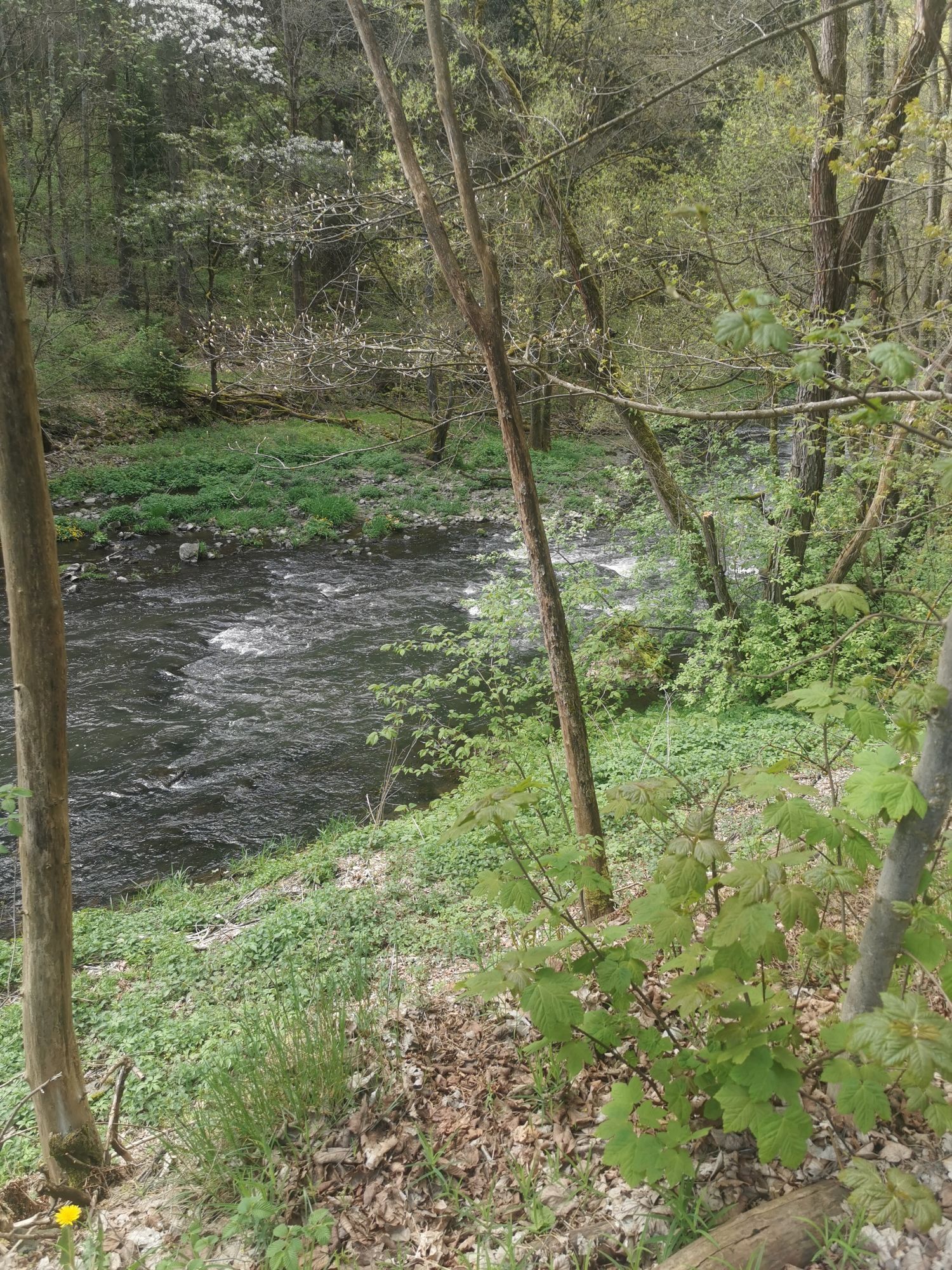
The route tour from Bad Lobenstein via Blankenstein to the Höllental offers an impressive nature and cycling experience in the Thuringian Slate Mountains / Upper Saale Nature Park as well as in the adjacent...
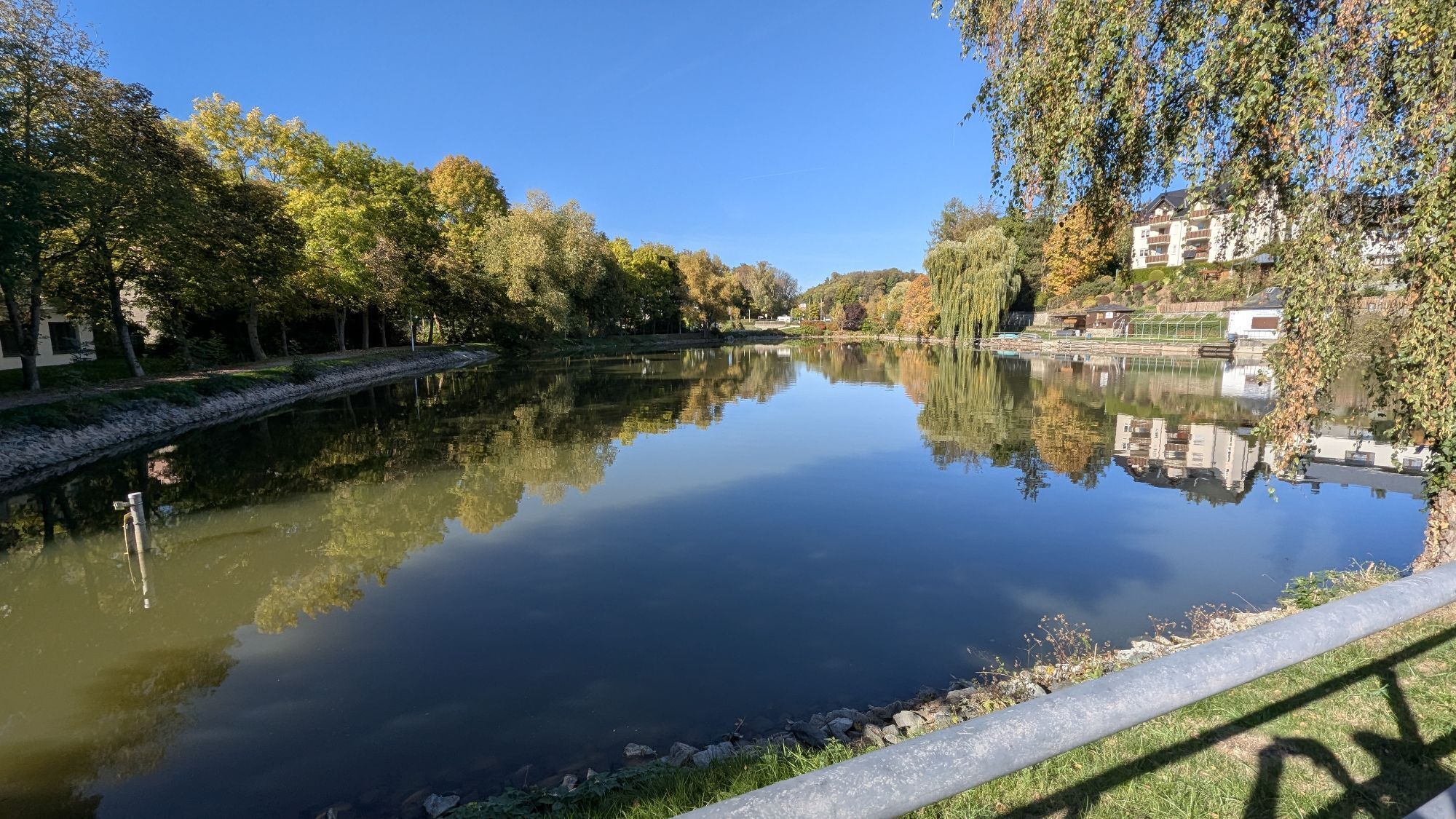
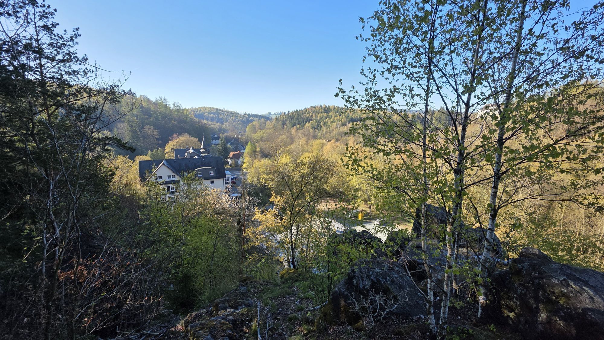
The route tour from Bad Lobenstein via Blankenstein to the Höllental offers an impressive nature and cycling experience in the Thuringian Slate Mountains / Upper Saale Nature Park as well as in the adjacent Franconian Forest. The starting point is the spa town of Bad Lobenstein, from where the route initially leads through forested sections towards the Saale and meets the Saale cycle path.
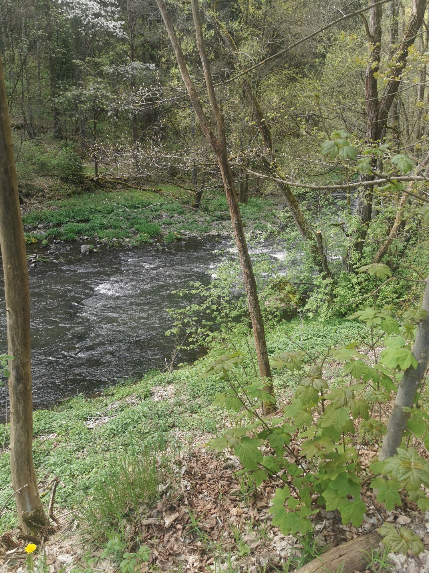
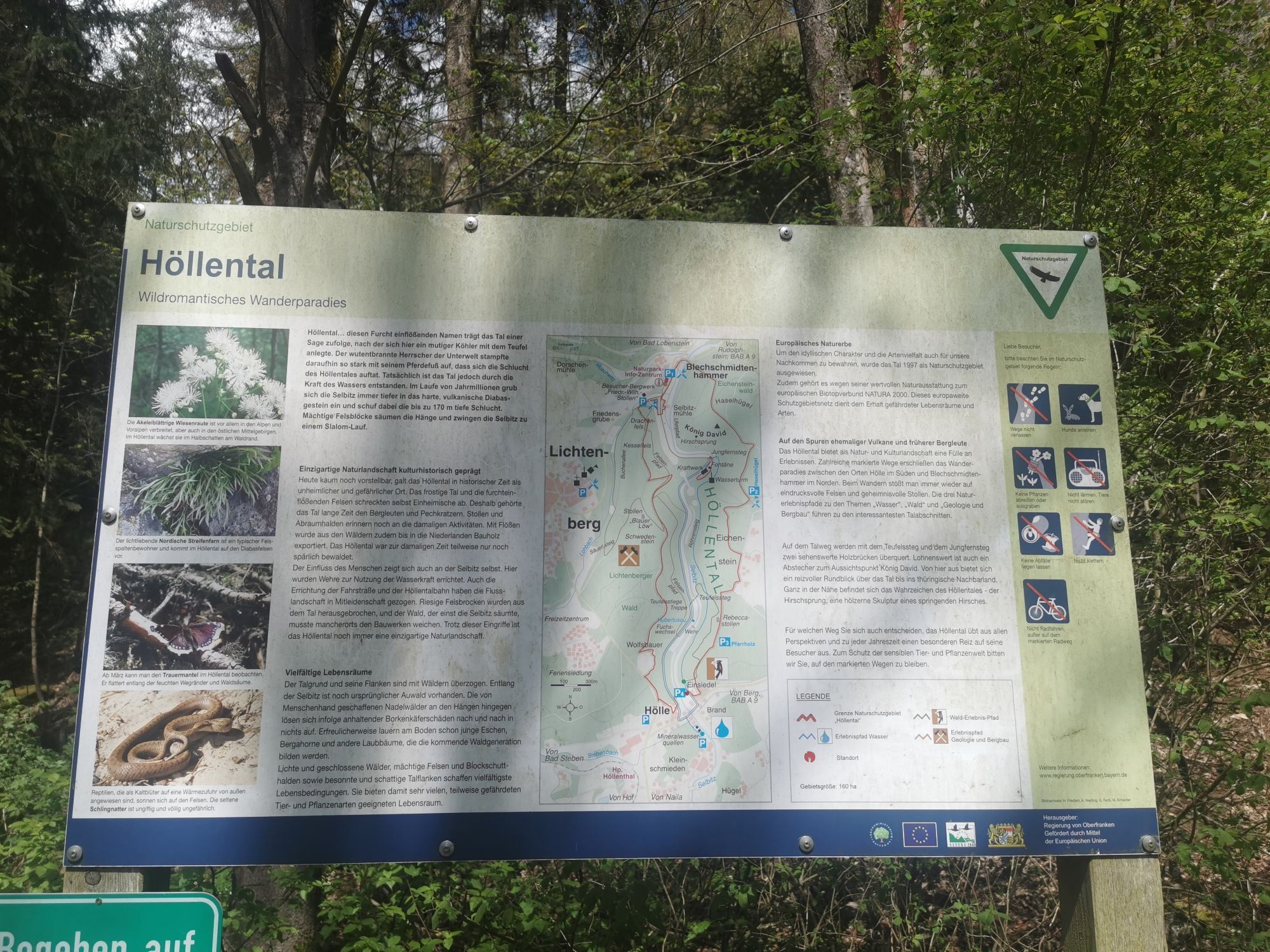
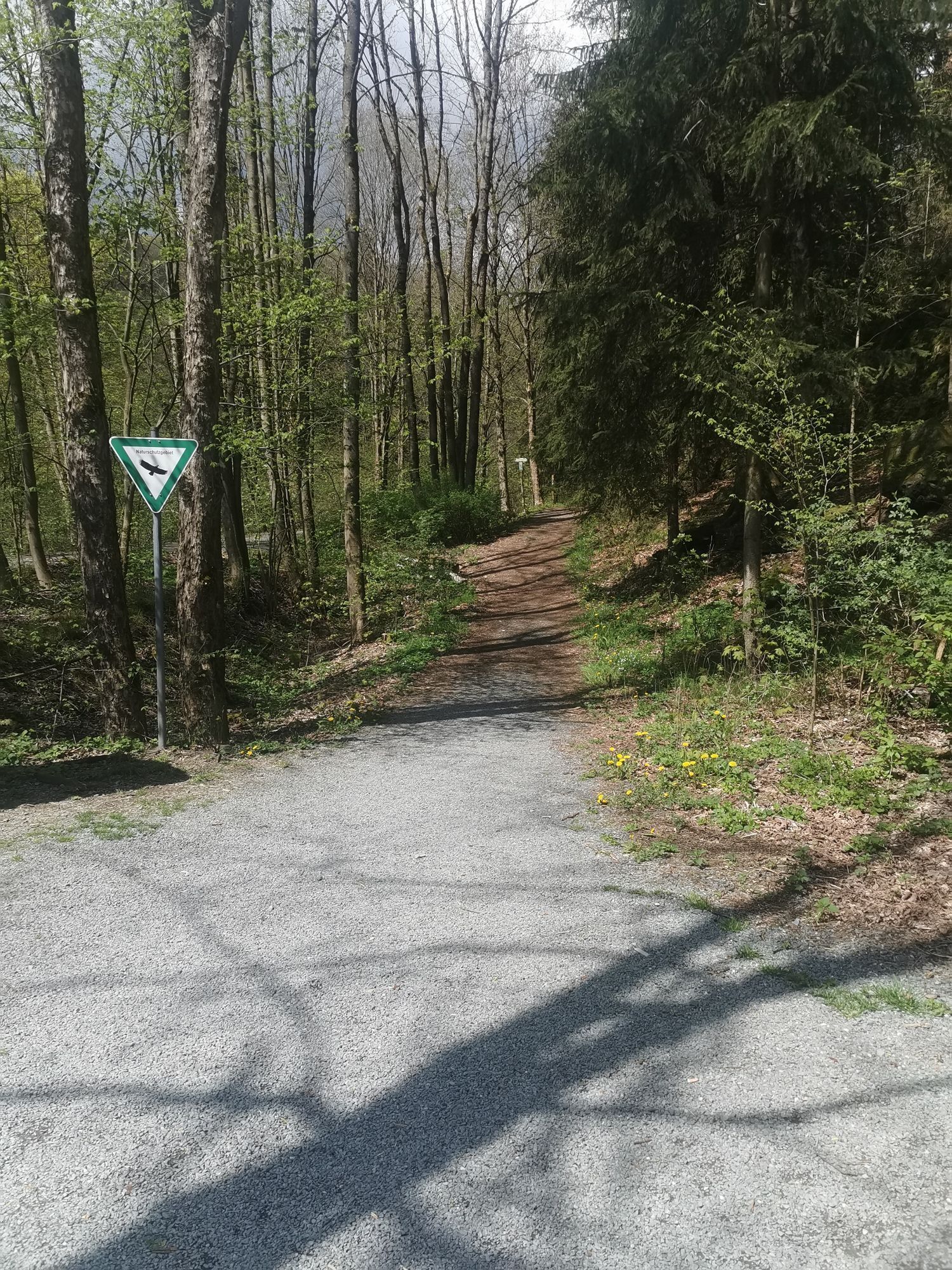
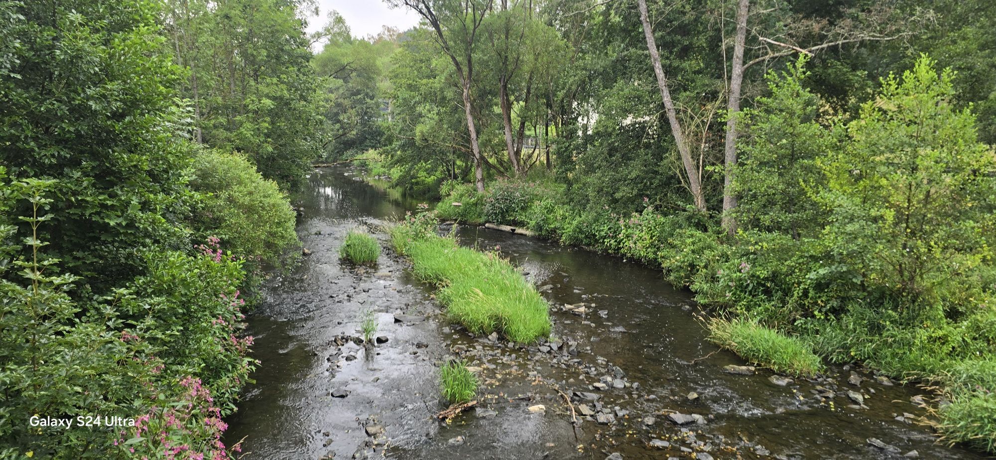
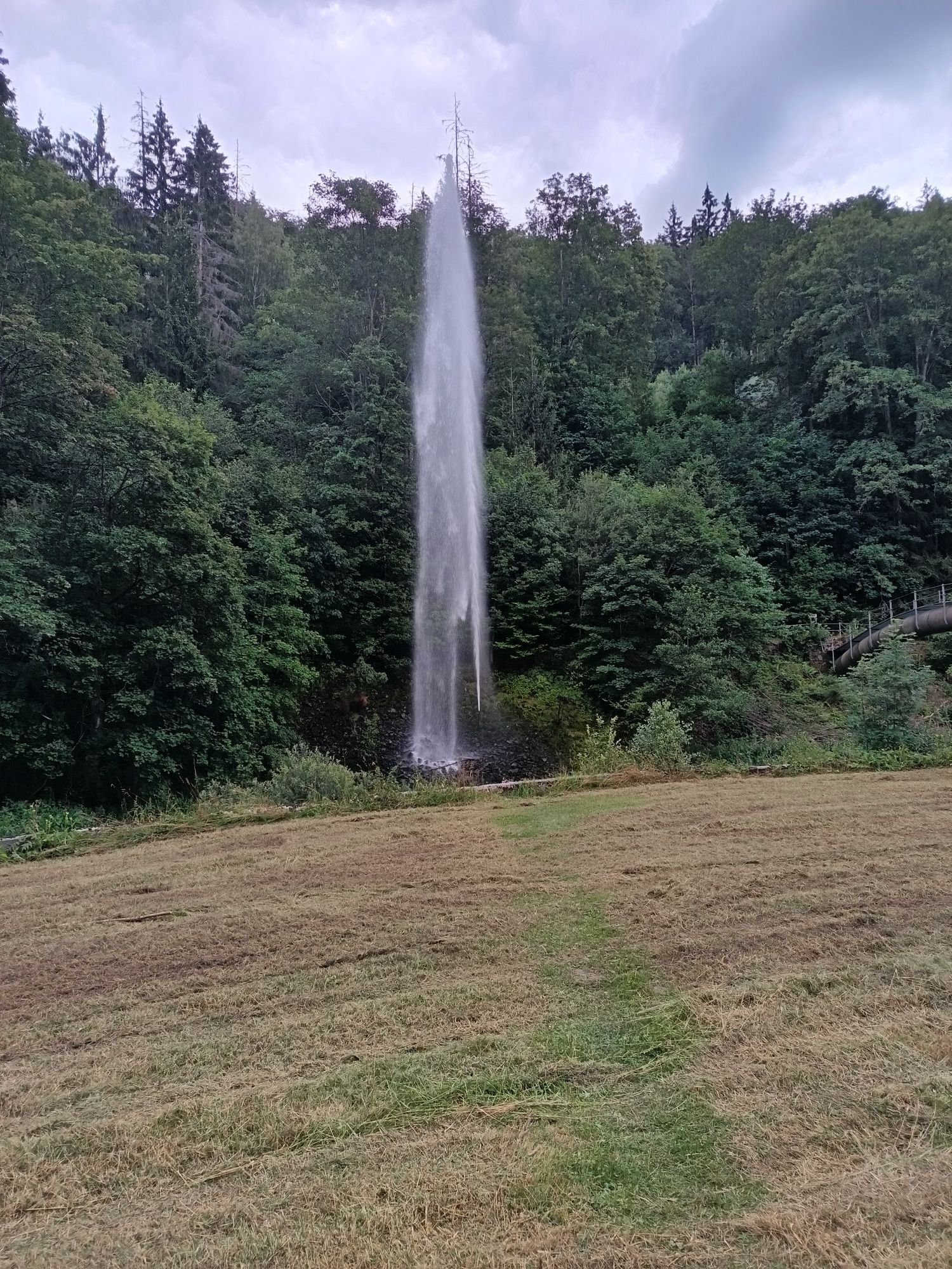
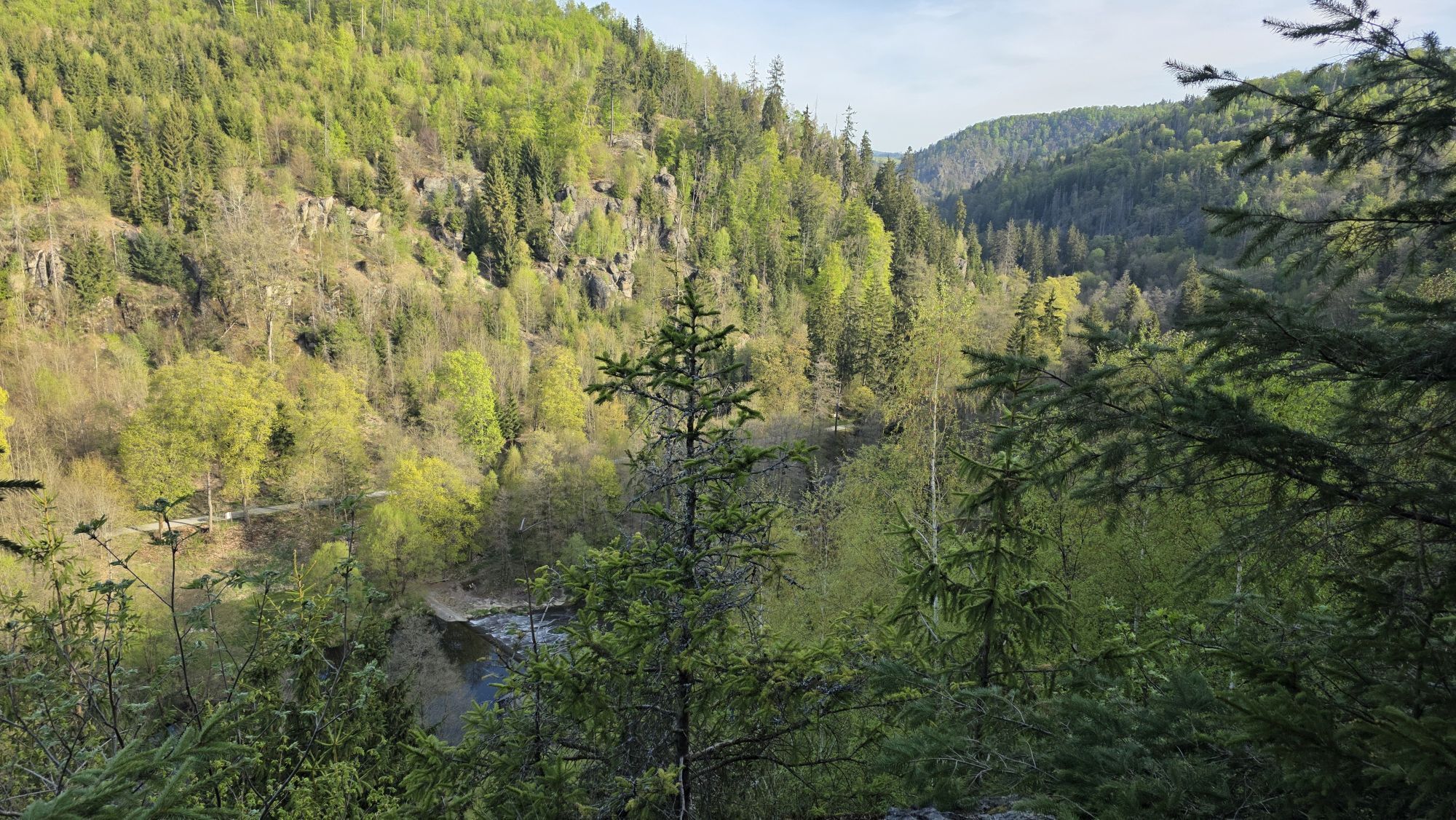
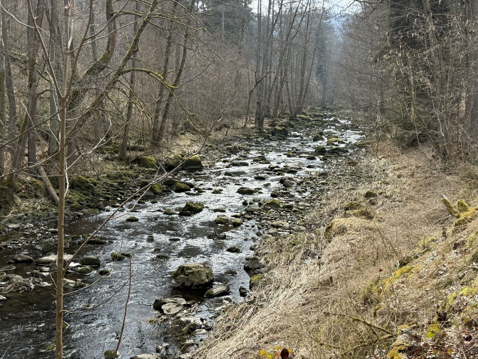
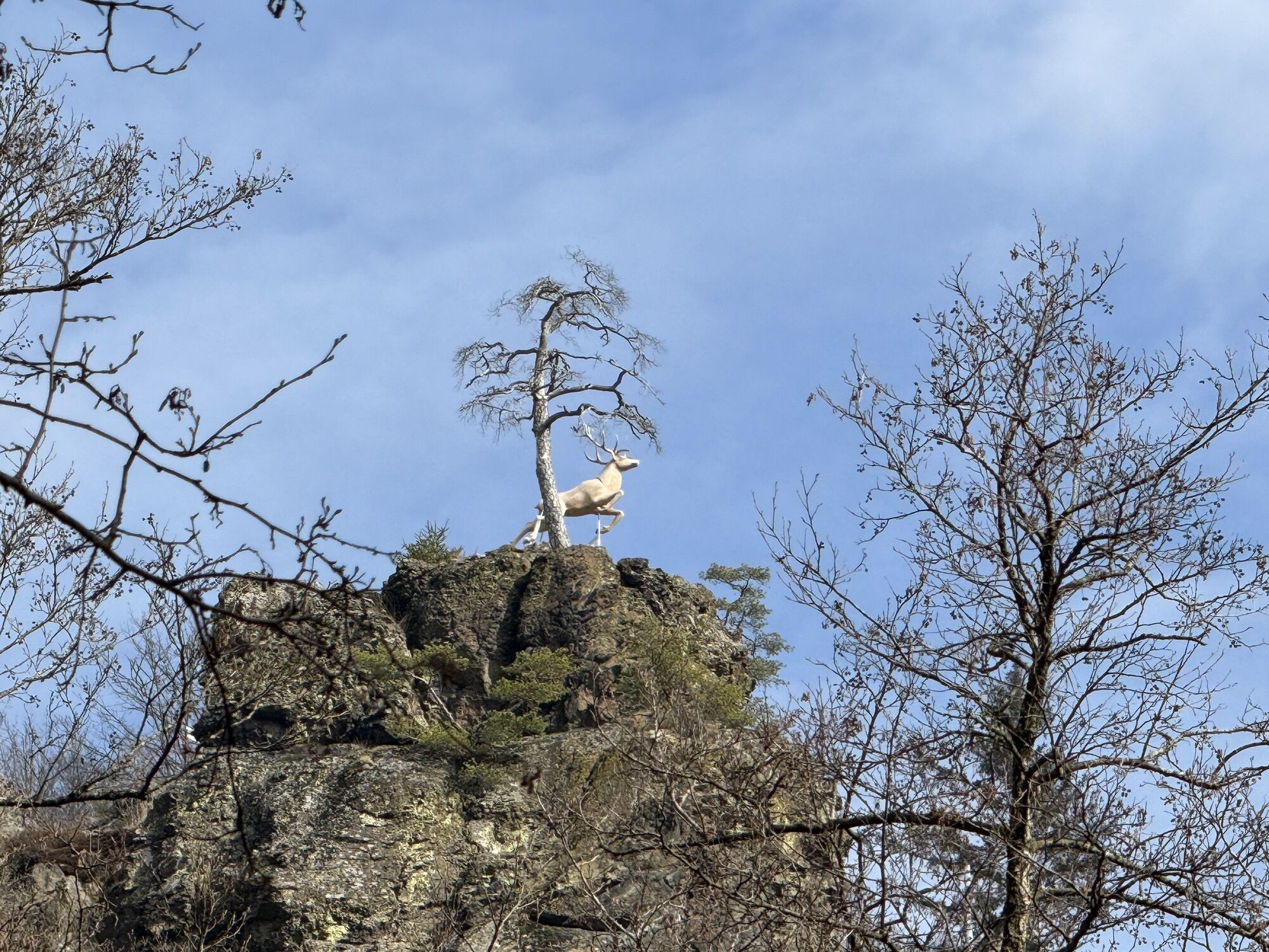
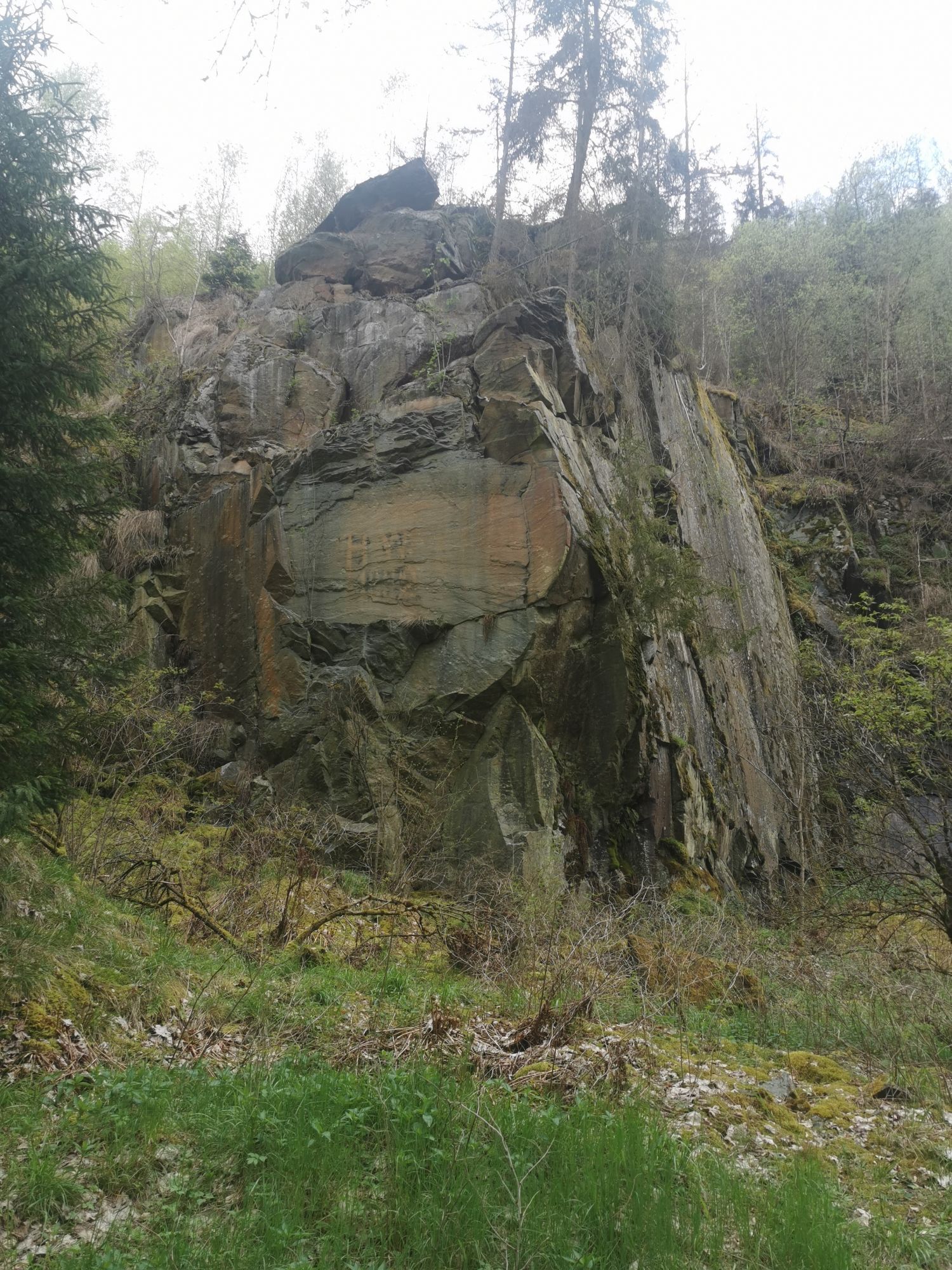
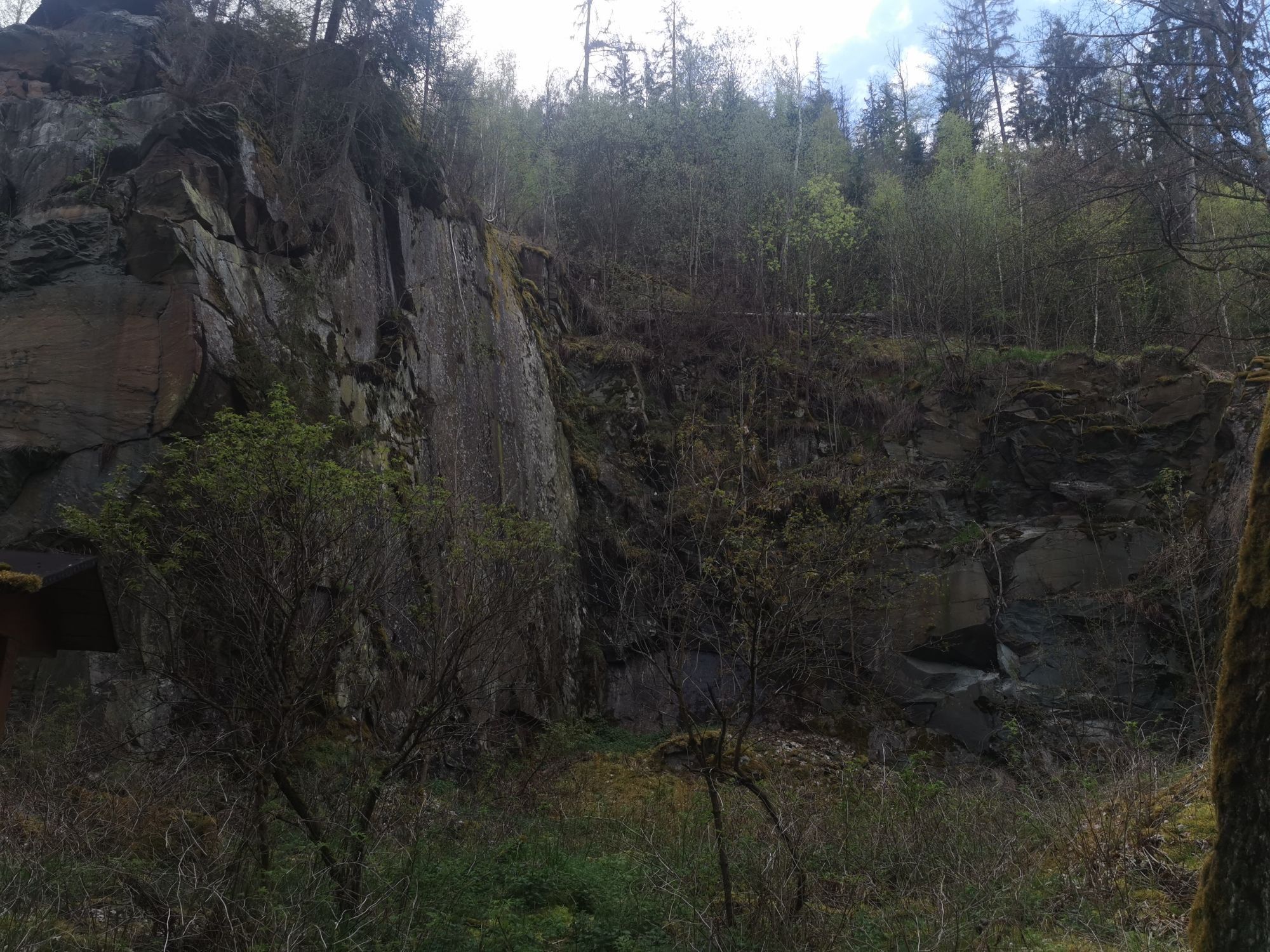
After the first climbs, you reach Blankenstein on the Saale. Here, the hiking stop Blankenstein offers an ideal opportunity for a break before the tour enters its most scenic section. The following path through the Höllental is one of the highlights of the route. The narrow gorge impresses with steep rock faces, natural streams, and dense vegetation. Cyclists experience a special combination of geological features, diverse flora, and wide views here. Above the valley, several viewpoints invite you for short breaks and photo stops.
This route tour is a non-binding tour recommendation and is not signposted. Return travel is possible by train from Blankenstein back to Bad Lobenstein. For safe navigation, downloading the GPX track in advance is recommended.
The route mostly runs on paved roads and well-developed paths. Overall, the tour is classified as moderate difficulty. Good basic fitness is required because several steeper climbs must be mastered.

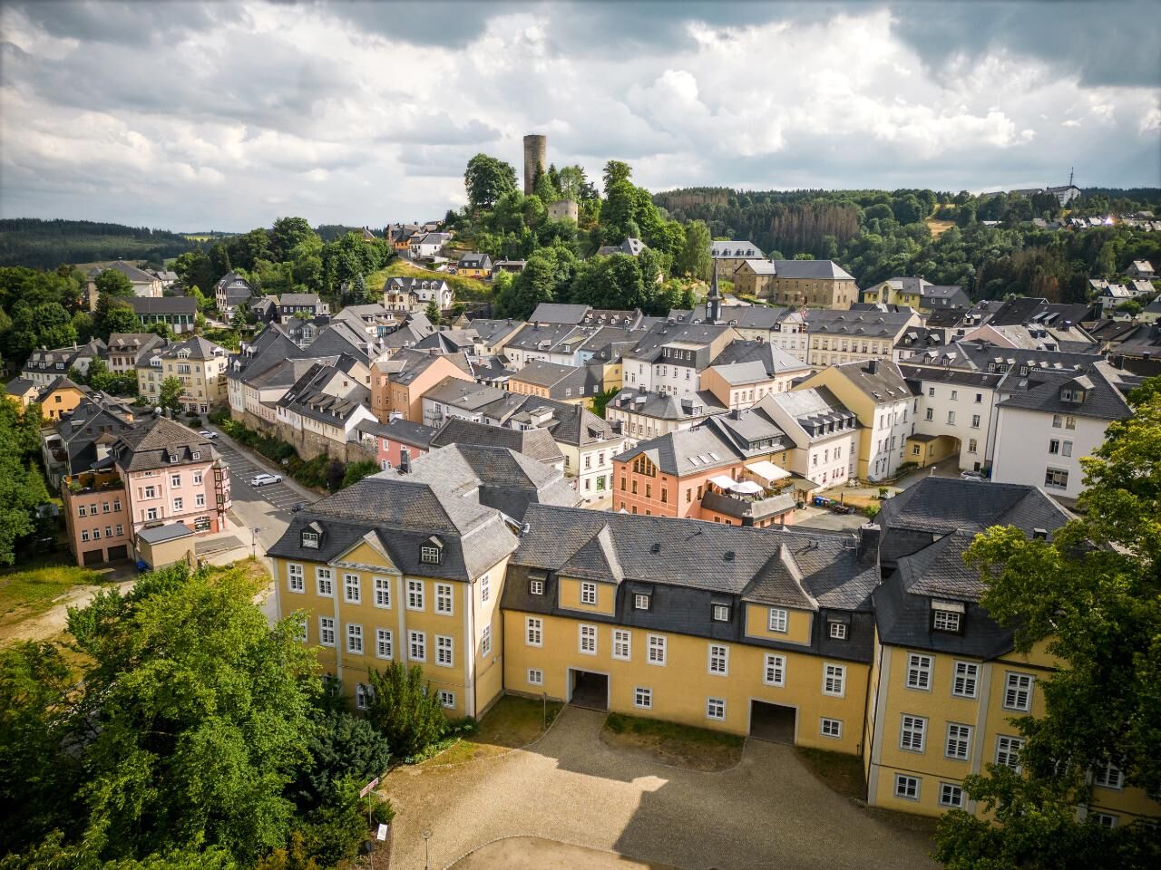
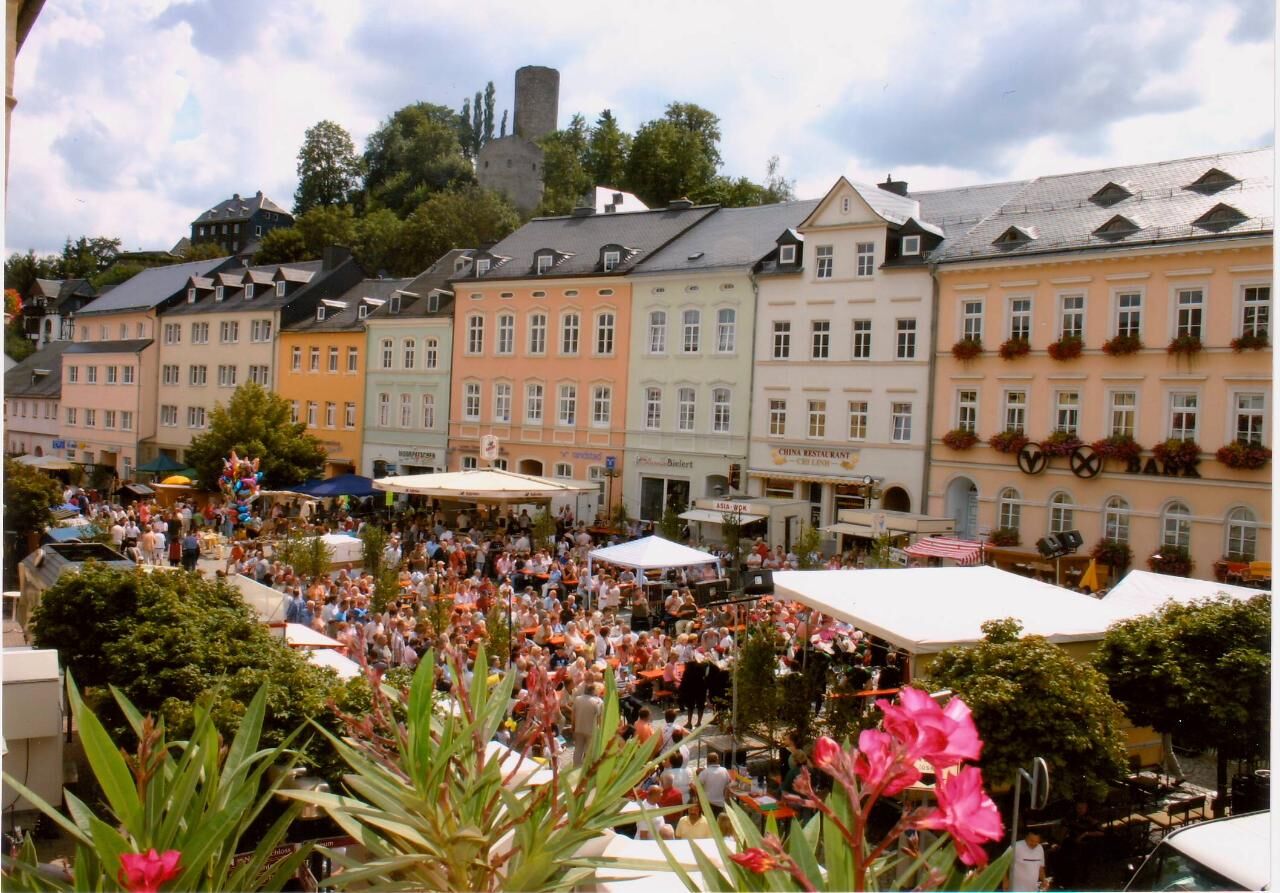

Bad Lobenstein - Bad Lobenstein - Bleiloch Reservoir - Lemnitzhammer - Harra - Absang - Blankenstein - Selbitzplatz - Blechschmidtenhammer - Höllental
Helmet, gloves, weatherproof clothing
Map or GPS device
Water, snacks, and sun protection
E-bike charging facilities:
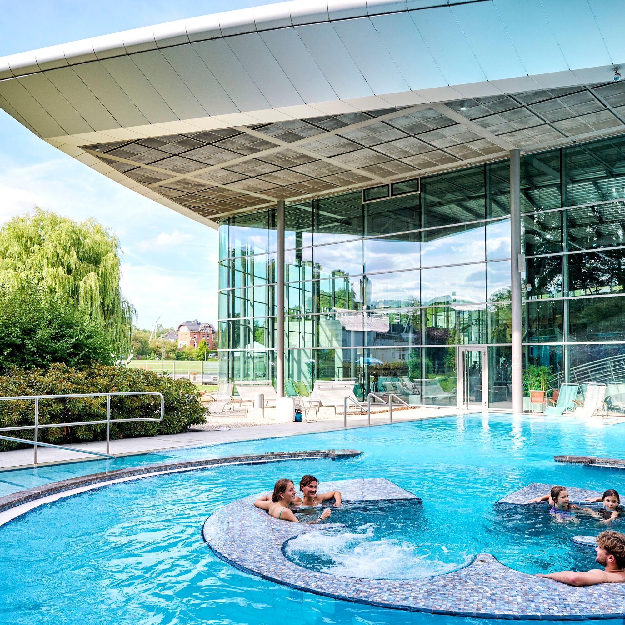
Bad Lobenstein: Ardesia Thermal Spa
Rosenthal am Rennsteig: Pottiga - viewpoint at Wachhügel; Harra - Kirchberg, Blankenstein- Selbitzplatz
Bad Lobenstein is easily accessible via the A9 exit Bad Lobenstein.
Arrival via Saalfeld on the B85 via Leutenberg is possible. Public parking is available in the city area.
Bus connections from Saalfeld, Schleiz, and surrounding areas.
Notes on bicycle transport by bus or train:
Train: www.bahn.de
Bus: From 01.05. to 31.10., the Kombus bike buses operate in the Saalfeld-Rudolstadt and Saale-Orla-Kreis districts, connecting to Jena, Gera, Erfurt, Weimar, Ilmenau, and Neuhaus am Rennweg.
For information visit https://www.kombus-online.eu/angebote/fahrradbus/allgemeine-informationen/
Parking lot at the Ardesia Thermal Spa
3
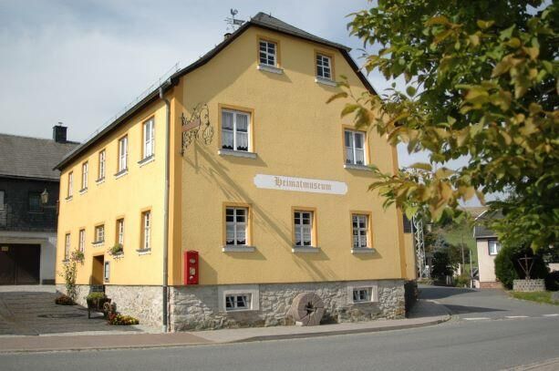
Harra Local History Museum
Blechschmidtenhammer Nature Park Information Center
Popularne wycieczki w okolicy
- 4,0
Höllental über Hirschsprung und unten wieder zurück
średniWędrówka 9,61 km - 4,5
Hirschberg Primeval Forest Trail - Thuringian Primeval Forest Trails
światłoWędrówka 2,84 km - 5,0
Circular route - Schönblickweg - Harra
średniWędrówka 7,80 km - 5,0
Saalepfad - Circular hike at the Green Belt
ciężkiWędrówka 34,8 km - 5,0
Von Saaldorf zum Marienstein
światłoWędrówka 9,41 km - 4,0
Rund um die BleilochTalsperre - Saalburg Beach und zurück
średniE-MTB 20,1 km Hike - Rennsteig - Stage 8 - From Brennersgrün to Blankenstein
średniWędrówka 20,8 kmVenzka - Hirschberg - Saalesteg - Venzka
średniWędrówka 8,24 kmRoßkunst Geopath - Harra
średniWędrówka 6,23 km- 5,0
Marienstein in Saaldorf - circular hiking route - Bad Lobenstein
średniWędrówka 5,67 km
Wędrówki i tropienie


Nie przegap ofert i inspiracji na następne wakacje
Twój adres e-mail została dodana do listy mailingowej.





