







MTB Saalfeld 09: Panorama circular route in the Schwarzatal

Poziom trudności: S2
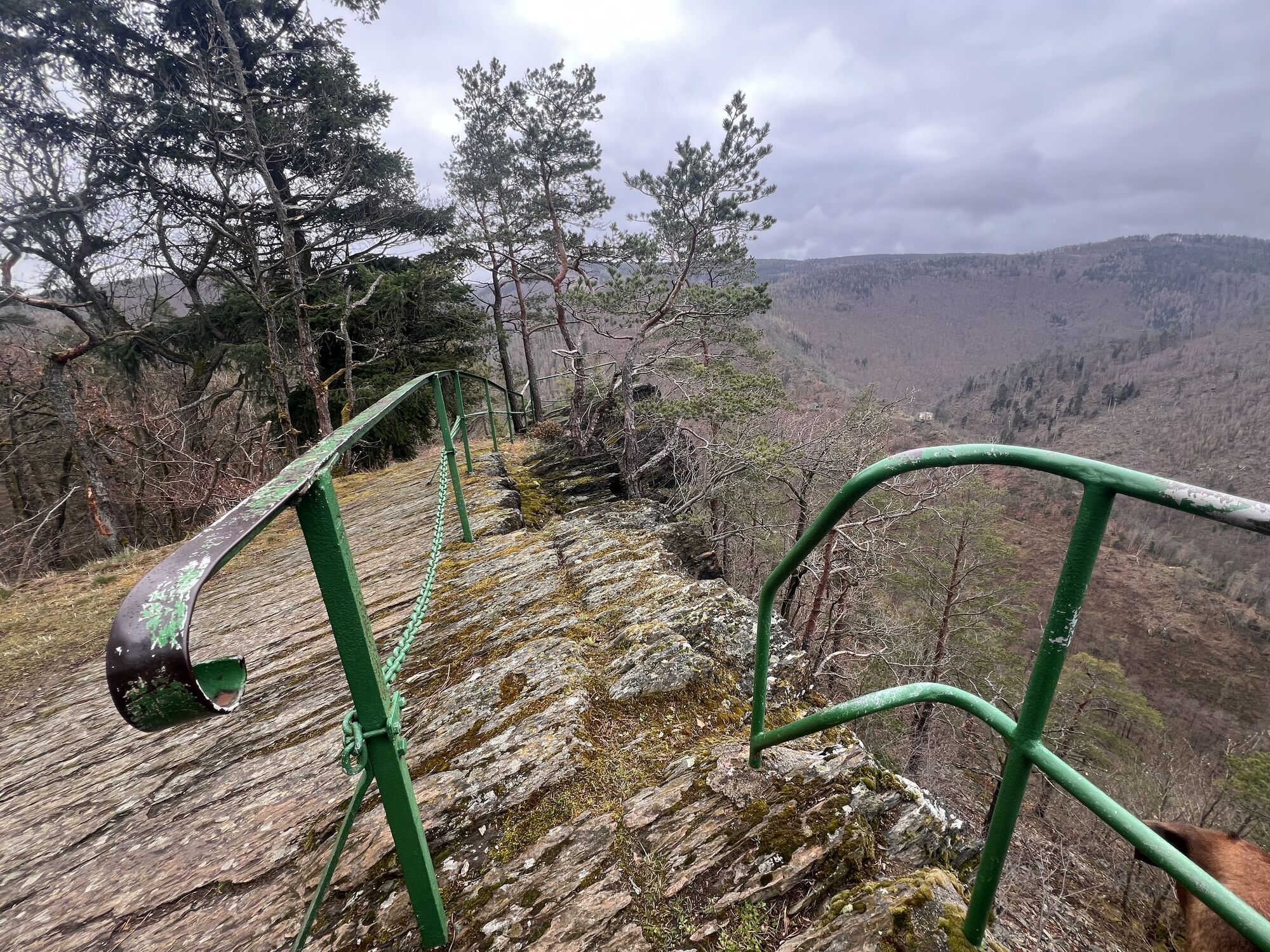
The route starts in Saalfeld and runs along the Saale to Schwarza and over Bad Blankenburg into the Schwarzatal. With steep climbs it goes towards Silberberg, past the Griesbachfelsen, the Teufelstreppe,...
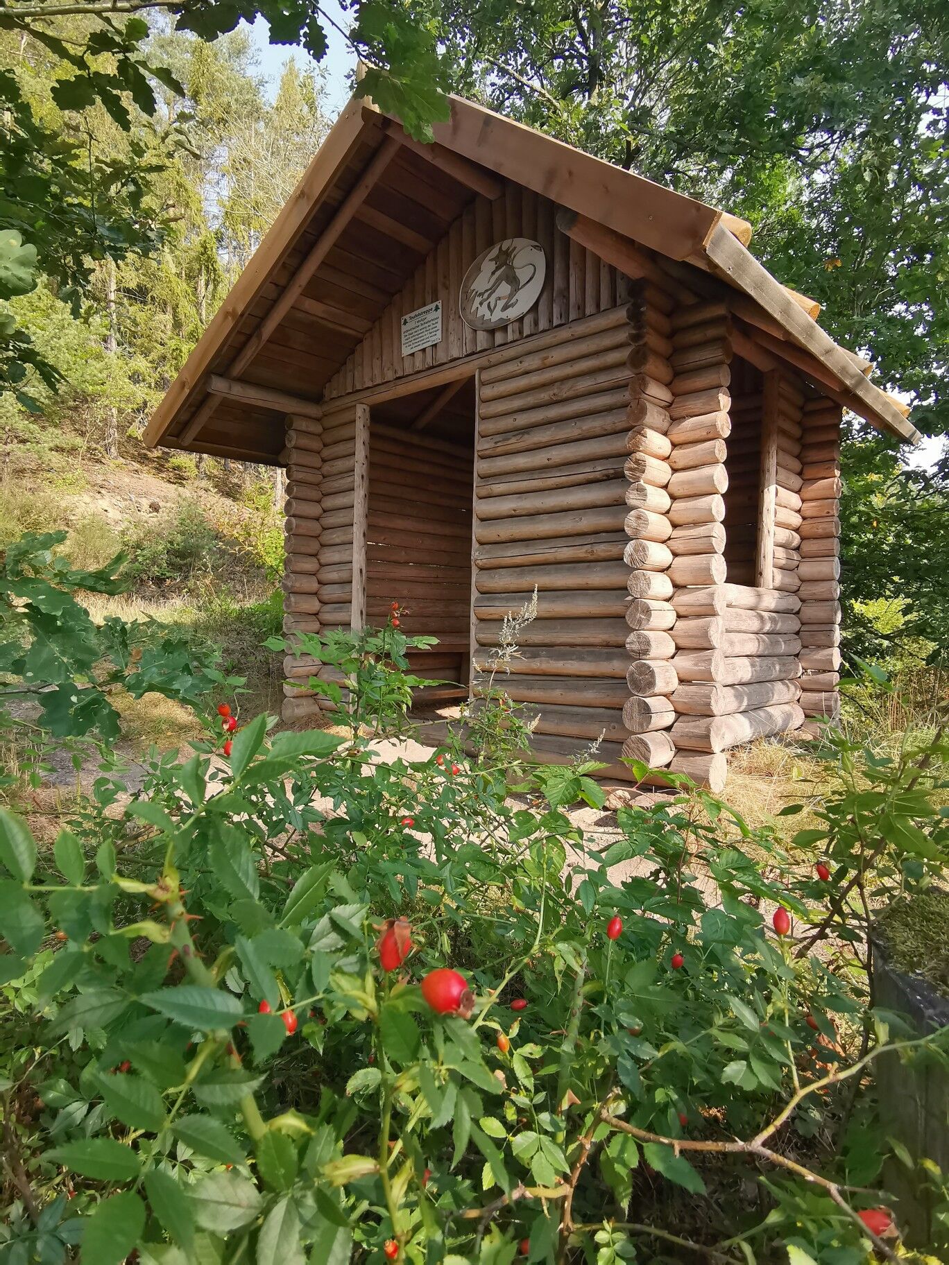
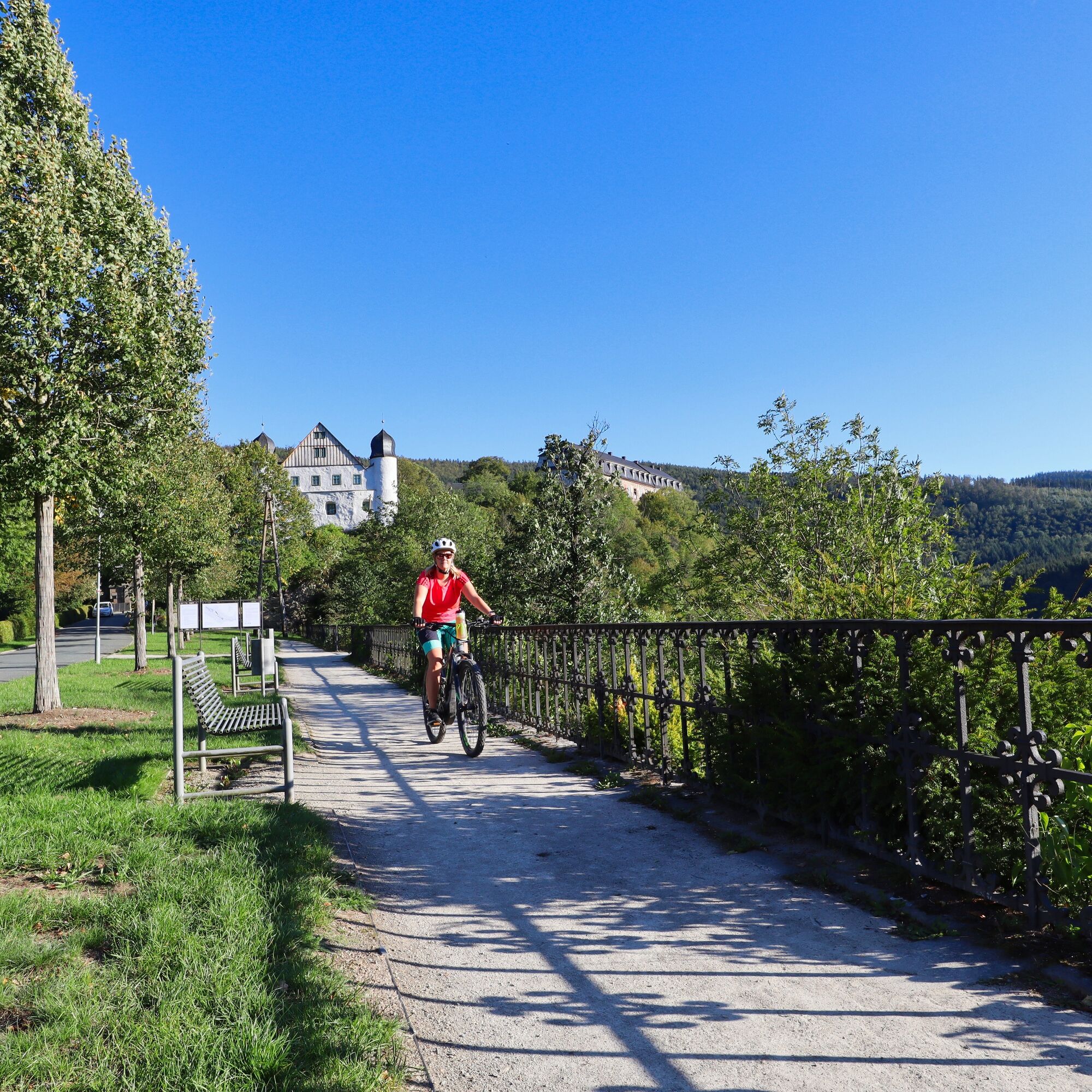
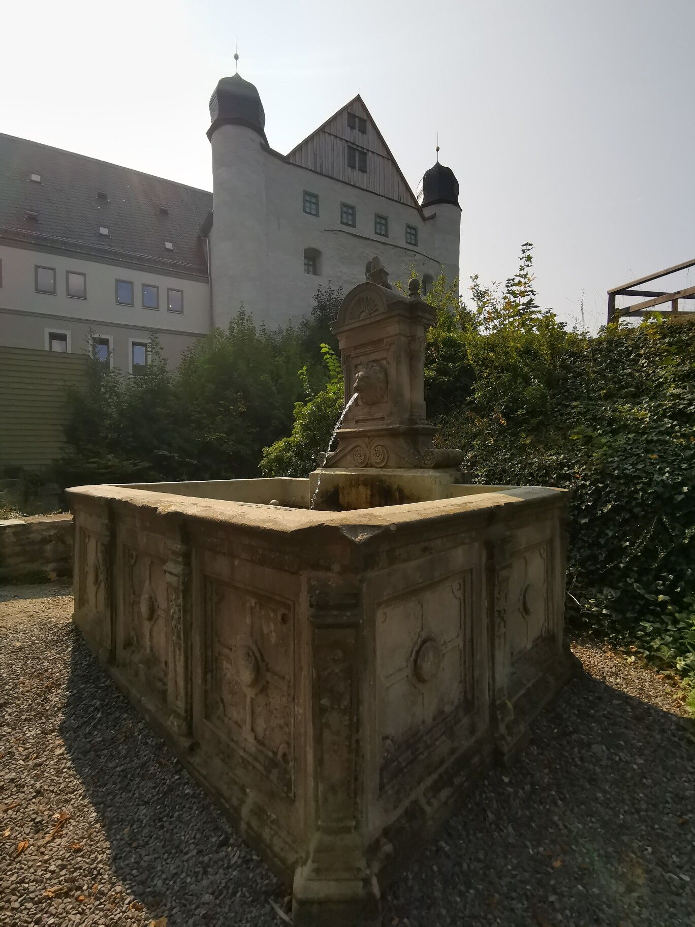
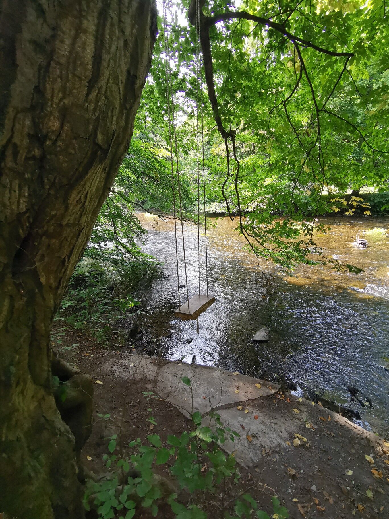
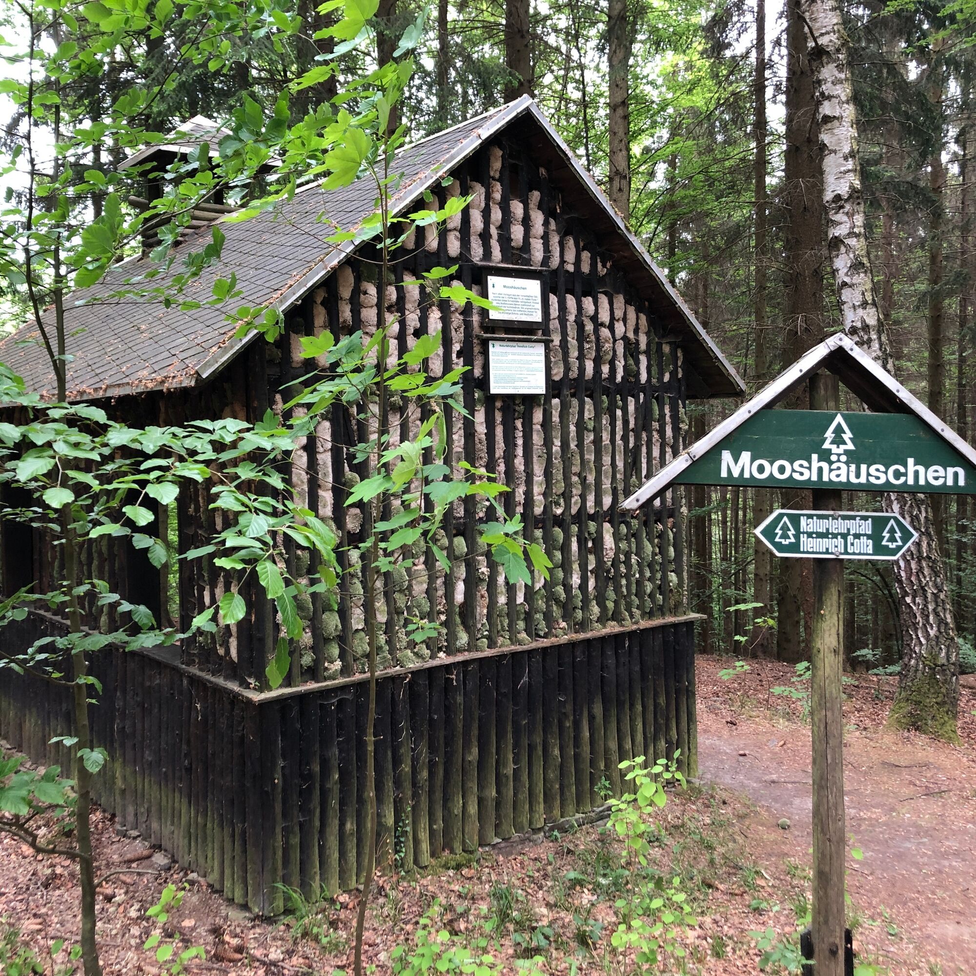
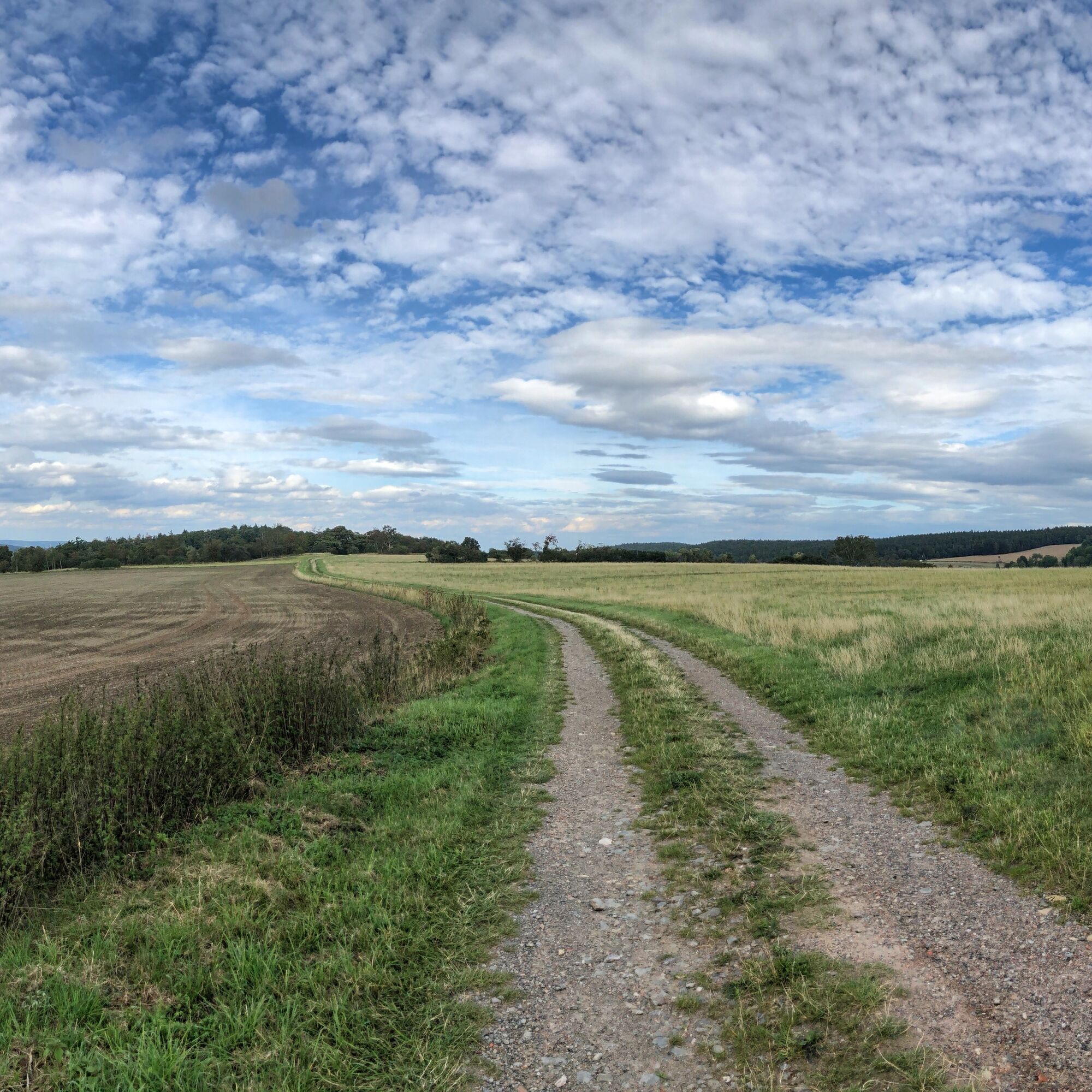
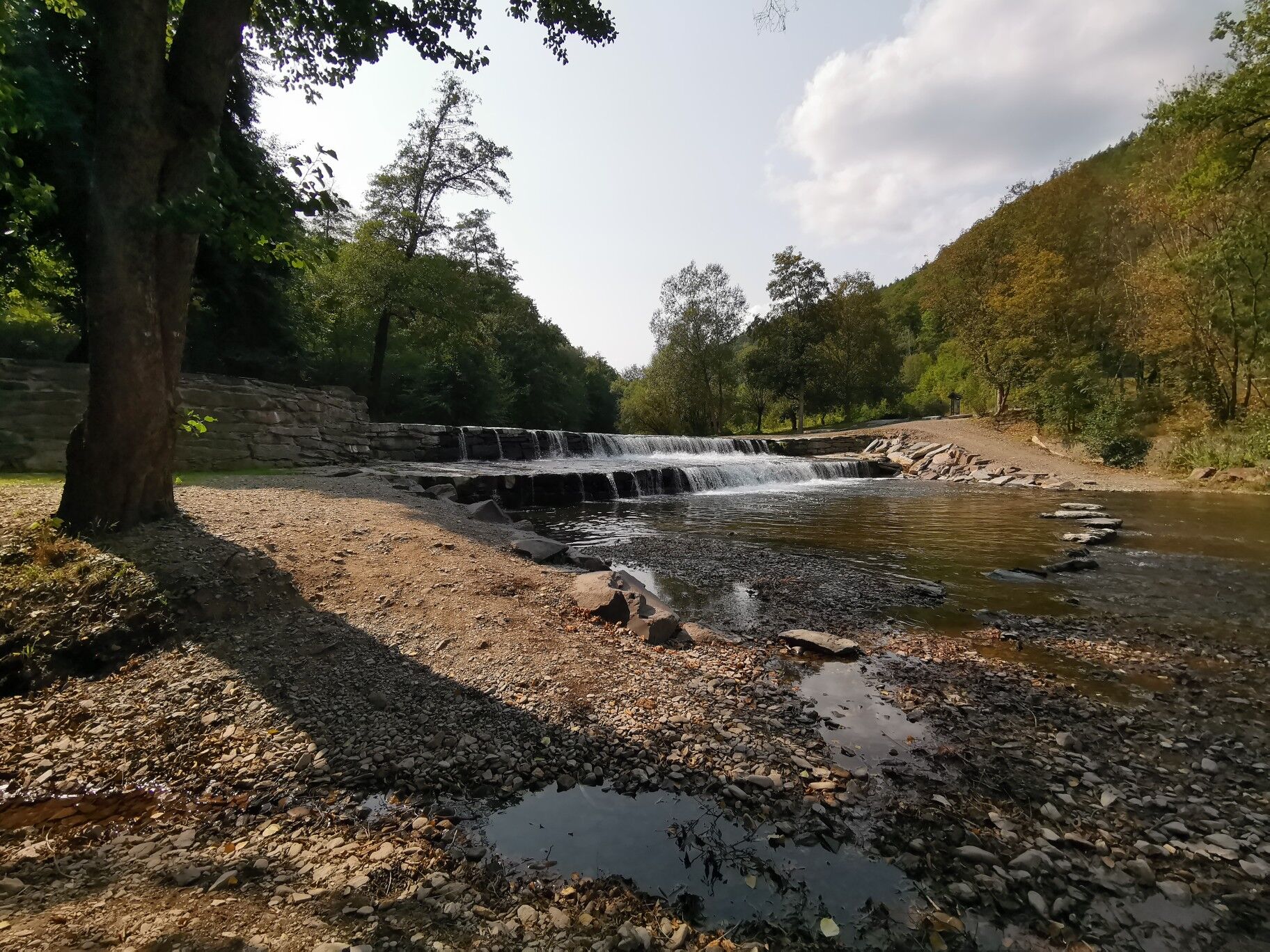
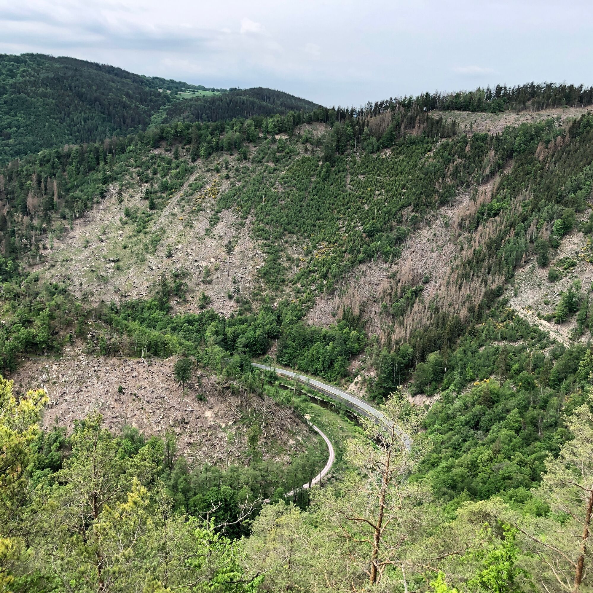
The route starts in Saalfeld and runs along the Saale to Schwarza and over Bad Blankenburg into the Schwarzatal. With steep climbs it goes towards Silberberg, past the Griesbachfelsen, the Teufelstreppe, and the Fürstenstand. Through the towns Böhlscheibe and Cordobang, you reach Schwarzburg over the Trippstein, with a magnificent view of the Schwarzatal. The armory of Schwarzburg Castle shows the oldest and only completely preserved princely armory collection in Germany. A small but fine highlight can be found further on - the water swing directly on the Schwarza. Uphill, the tour runs along wide forest paths past the Mooshäuschen to Dittersdorfer Höhe with a wonderful panorama. From the highest point of the tour, it goes briskly downhill on wide forest roads and woodland paths back into the Schwarzatal, to the Eberstein hunting lodge. On the following single trail, you come back via the fish breeding station to Bad Blankenburg - a short stop at Chrysopras dam must not be missed here. From there, it goes over Kupferstraße back to the starting point of the tour.


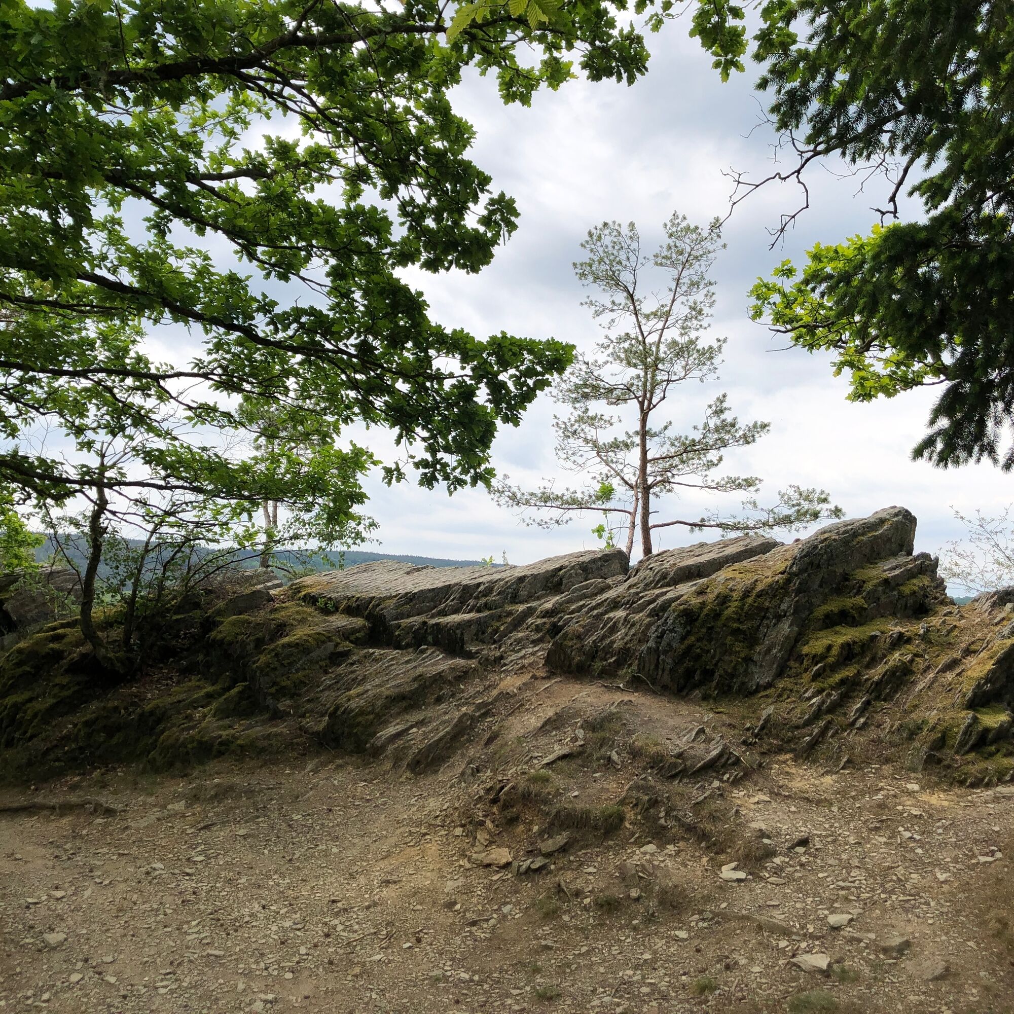
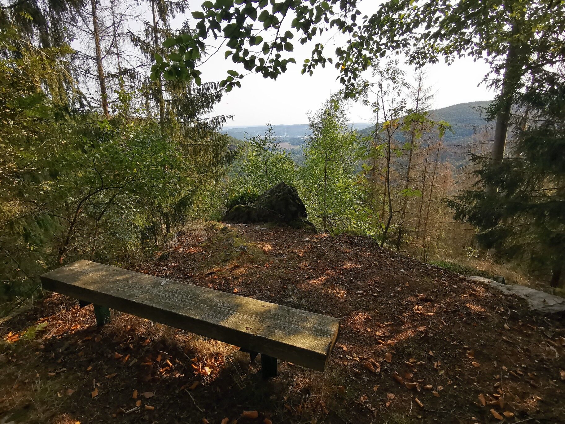
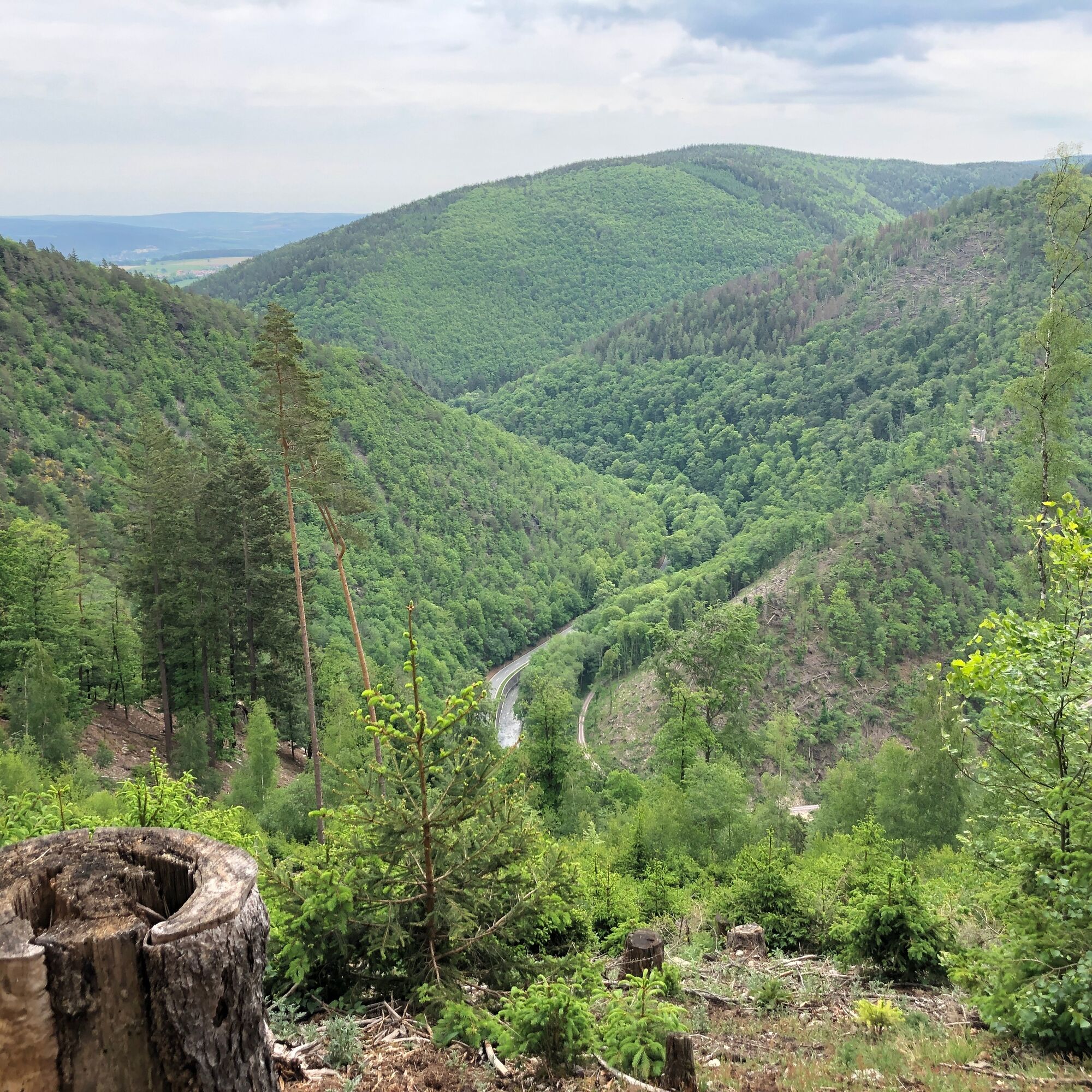


Saalfeld - Schwarza - Bad Blankenburg - Schwarzburg - Bad Blankenburg - Saalfeld
Full-suspension mountain bike recommended but not mandatory. A bicycle helmet is part of the basic equipment, of course. Cycling glasses and gloves are advisable. A small daypack with some provisions and drinks is a good idea.
â Bike recommendation: All routes are naturally also rideable with a modern and well-equipped e-mountain bike.
The route is not signposted by waymarkers.
Riding the tour is at your own risk.
Currently, there is an increased danger from dying trees in the forest.
Further information can be found in the Thuringian Forest Law.
Trail tolerance: On large parts of the routes, you will be alone and isolated. Of course, there will also be sections or places where you will meet other nature lovers, be they hikers, riders, etc. All user groups in the forest share the joy of outdoor activity. Therefore, friendly and respectful interaction is self-evident. As a mountain biker, you ride defensively when you encounter others. A short stop and a friendly greeting contributes greatly to a good image of mountain bikers!
From the west:
Take the A71 exit Stadilm and continue on the B90 to SaalfeldFrom the south:
Take the A73 exit Eisfeld and follow the B281 towards Neuhaus am Rennweg On the B85 from KronachFrom the east:
Take the A9 exit Lobenstein and follow the B90 towards Lobenstein Take the A9 exit Triptis and follow the B281 towards PößneckFrom the north:
Take the A4 exit Jena-Göschwitz and follow the B88 towards RudolstadtBy train to Saalfeld station. Saalfeld is very well and regularly accessible by various regional express connections with bike transport from the areas of Erfurt, Leipzig, Gera, and Nürnberg.
For travel planning, the travel portal of Deutsche Bahn can be used at the following link:
From Saalfeld station, follow the signs to the Saale cycle path: after approx. 800 m, you reach the cycle path via the Carl-Zeiss-Bridge, then downstream towards Weidig.
Various free and paid parking spaces in Saalfeld city area.
At the station (Google NAV point) and at Weidig (Google NAV point) there are sufficient parking spaces available.
S2
For a stress-free retracing of the route, the author recommends using the GPS track of the tour (GPX). Navigation with a GPS device or a smartphone app makes finding the way much easier in some sections.
Popularne wycieczki w okolicy
-
4,8
Circular hiking trail - "To the most beautiful viewpoints" - Thuringian Forest
średniWędrówka 12,8 km -
4,5
Circular route - “To the Strudel pots of the Schwarza” - Starting point at the Chrysopras weir - Bad Blankenburg
średniWędrówka 9,01 km -
Circular hiking trail - "Sculpture Trail" - Hiking start Unterweißbach - Thuringian Forest
średniWędrówka 24,4 km -
Circular hike - "Friedrich Fröbel" - Bad Blankenburg
ciężkiWędrówka 14,1 km -
5,0
Meurasteine, Talsperre Leibis-Lichte
średniWędrówka 13,4 km -
Circular trail - Saugartenpfad - Hiking start at Chrysopraswehr - Bad Blankenburg
średniWędrówka 8,39 km -
Panoramaweg Schwarzatal - Stage 1 Schwarza to Schwarzburg - Thuringian Forest
ciężkiWędrówka 15,4 km -
5,0
Kulm route
średniWędrówka 9,39 km -
5,0
Circular hiking trail - Nature educational path Lichtenhain - Hiking start Lichtenhain
średniWędrówka 8,08 km -
Circular hiking trail - To the Leibis/Lichte drinking water reservoir - Hiking start Lichtenhain
średniWędrówka 12,7 km
Wędrówki i tropienie


Nie przegap ofert i inspiracji na następne wakacje
Twój adres e-mail została dodana do listy mailingowej.





