


Camperio - Gorda Trail (SwitzerlandMobile 457)
Poziom trudności: 1
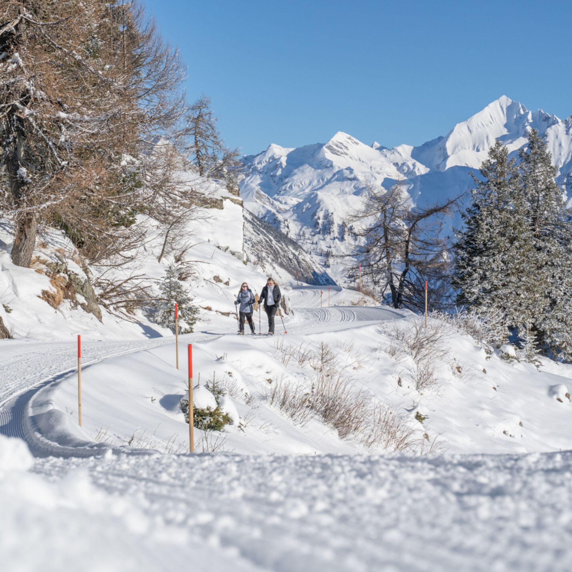
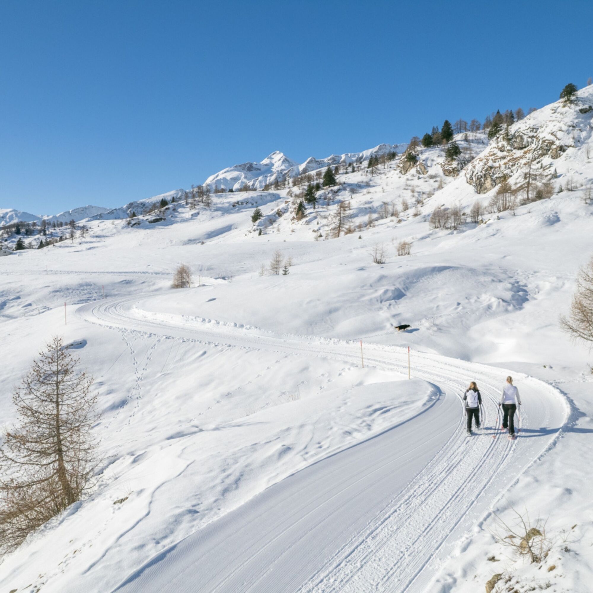
The itinerary (457 from SwitzerlandMobile – pink signage) starts from Camperio on the right side of the river, at the end of a straight stretch near a left curve, and follows the winding forest road that...
The itinerary (457 from SwitzerlandMobile – pink signage) starts from Camperio on the right side of the river, at the end of a straight stretch near a left curve, and follows the winding forest road that gently climbs through an enchanted fir forest.
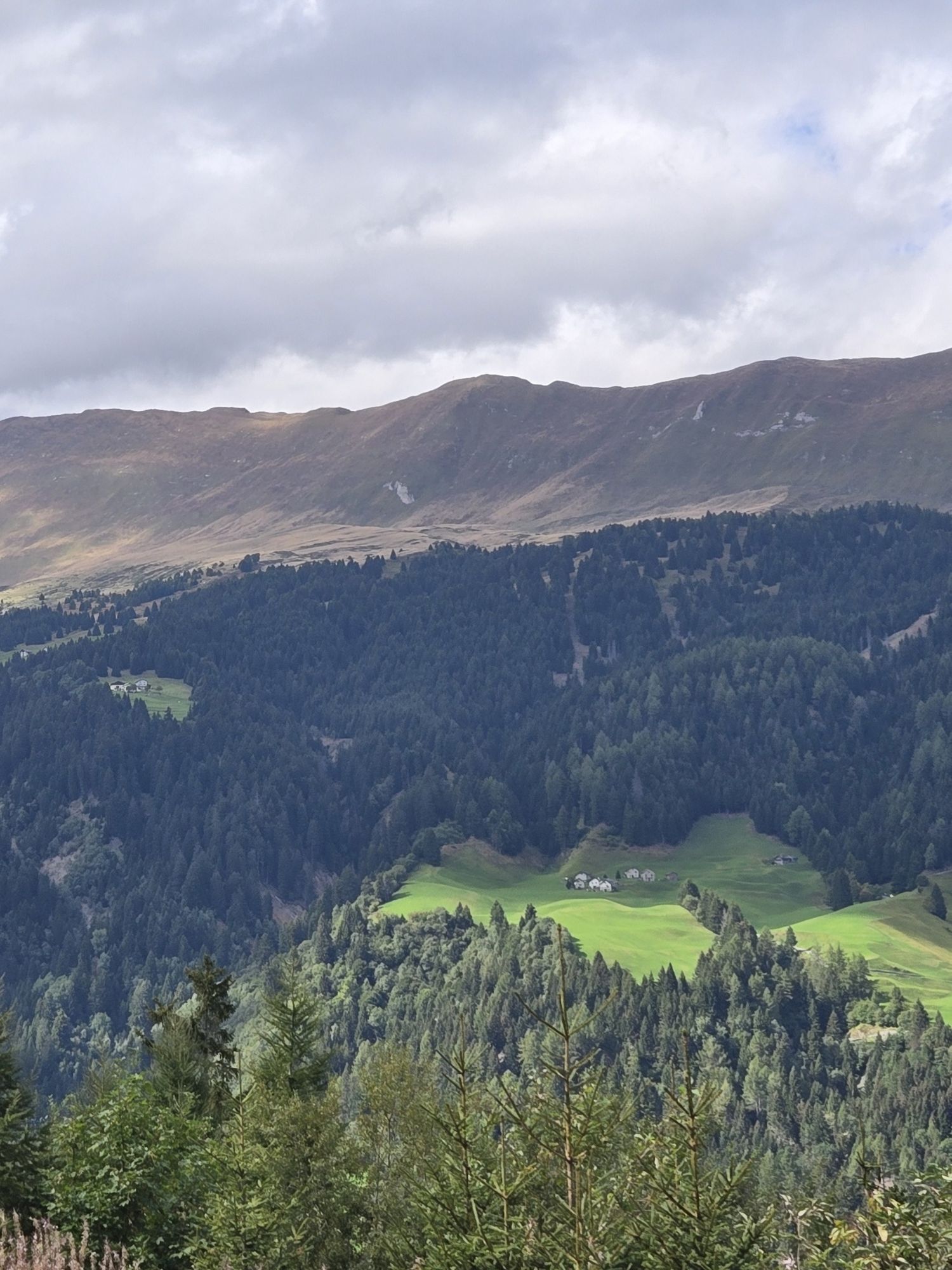
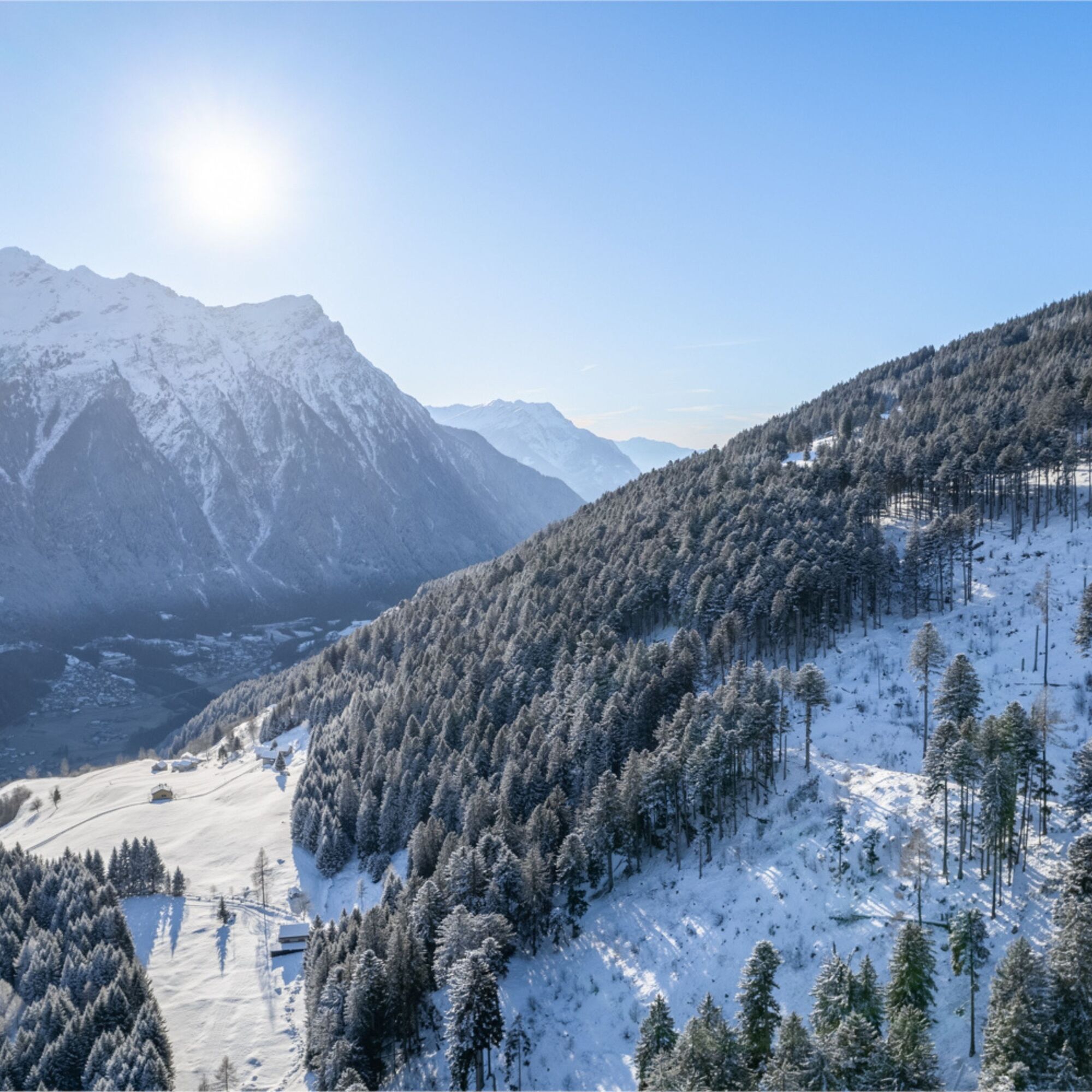
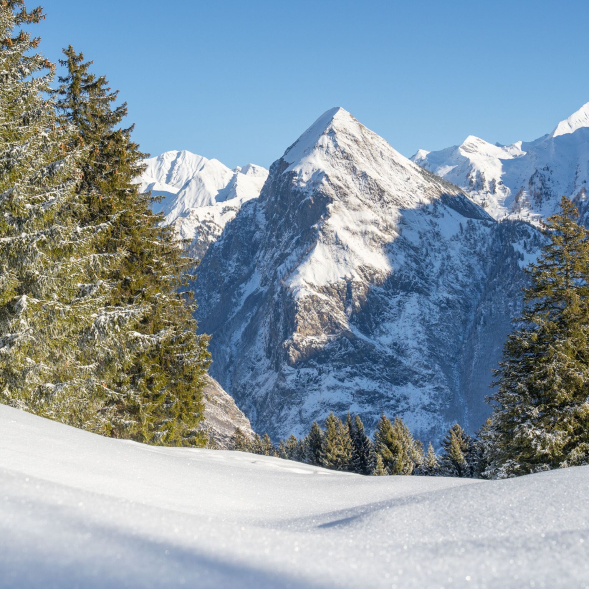
Gradually you gain altitude and the view opening to the mountains in front is idyllic.
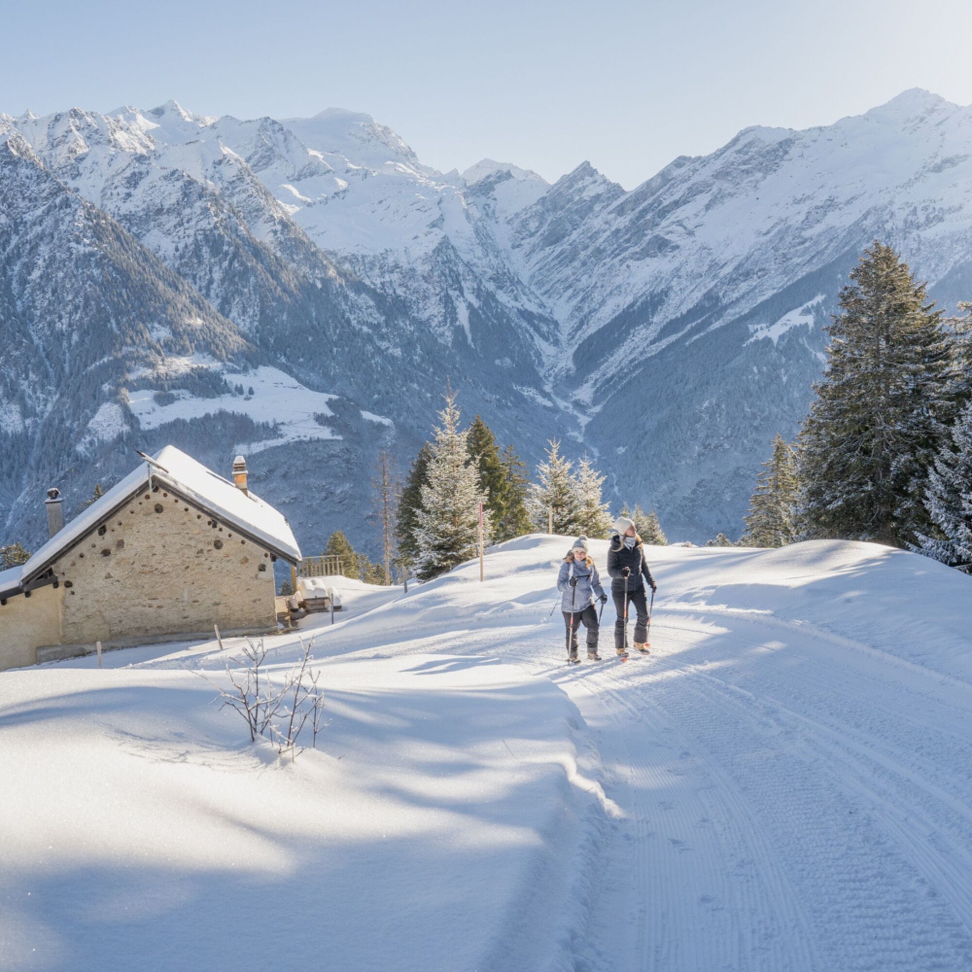
At Sgianaresc locality the road narrows and gives way to the path that passes next to some stone huts which, covered with snow, create a magical atmosphere.
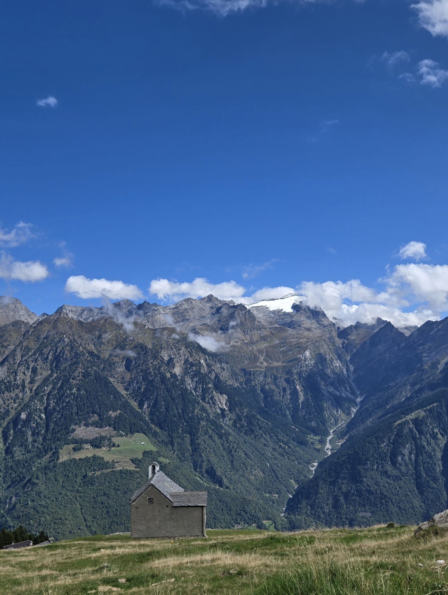
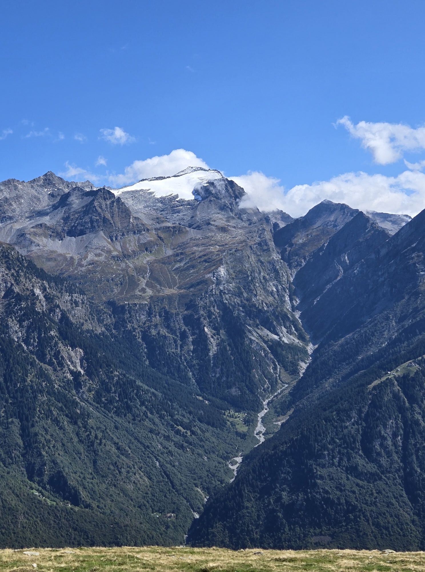
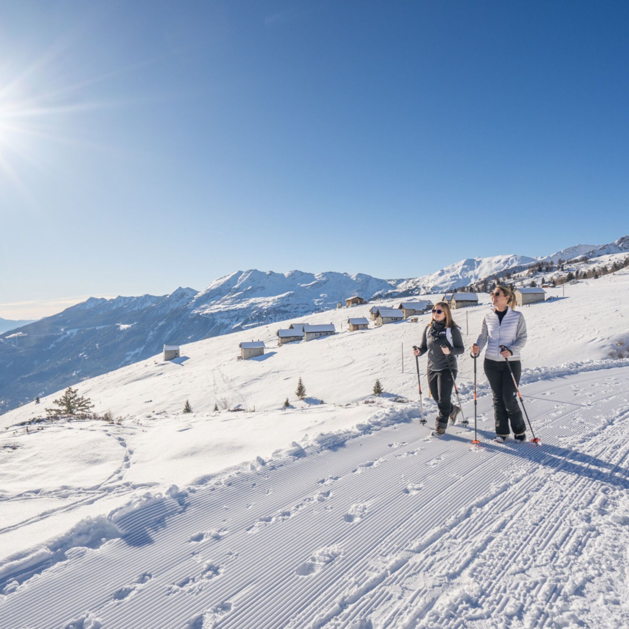
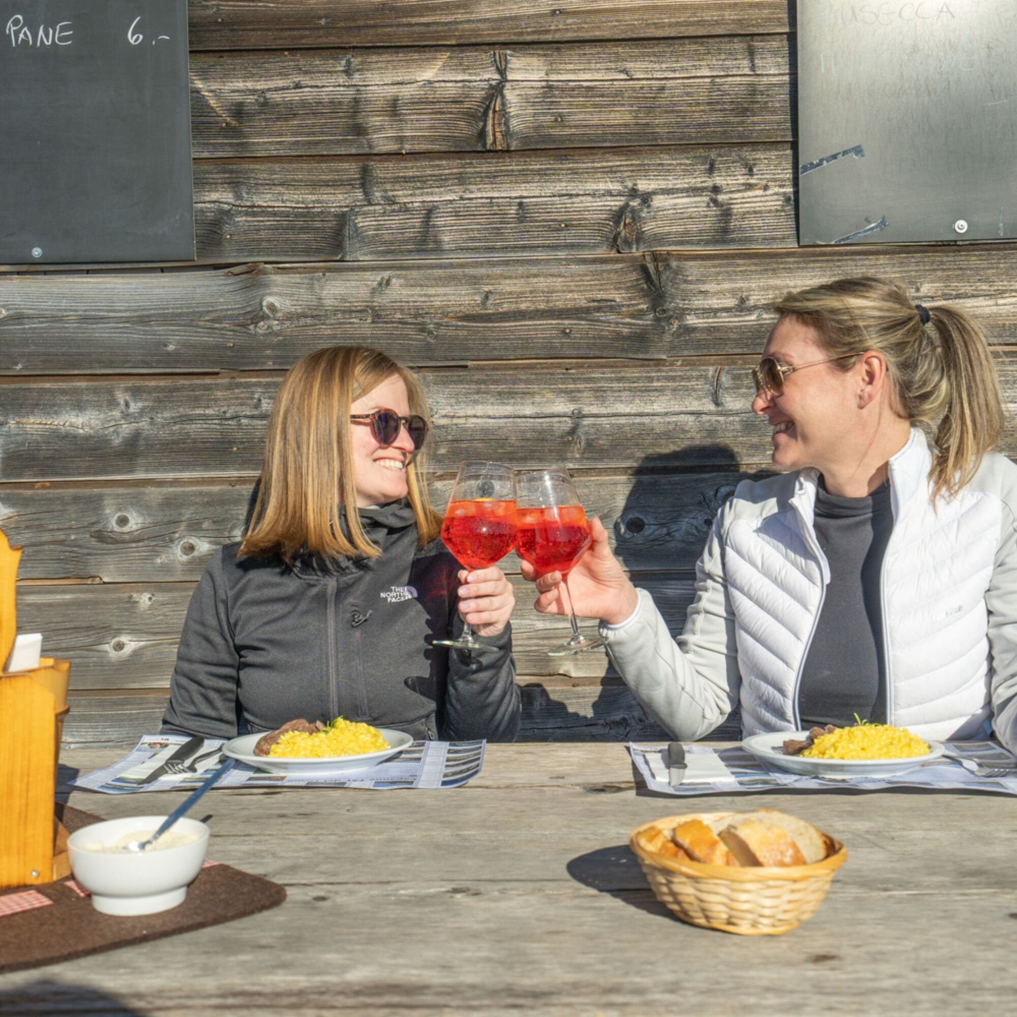
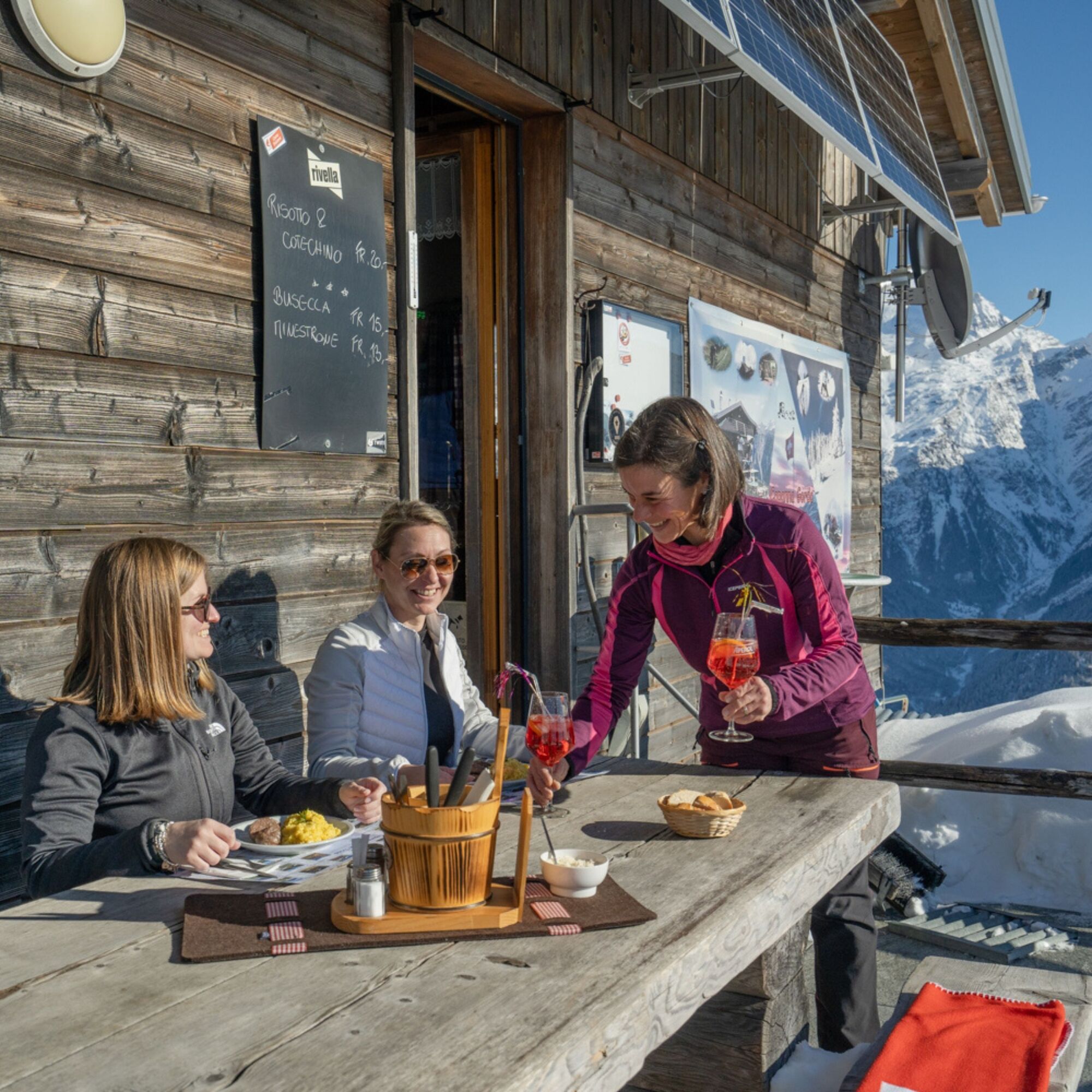
The panorama becomes increasingly vast and you reach the wide pastures of the Gorda mountains where at 1804 meters above sea level is located the eponymous hut, almost always staffed even during winter to ensure a pleasant resting break. From here the view is spectacular over the mountain range and the entire valley floor.
The itinerary does not present particular technical difficulties, however the elevation difference and length require some physical preparation.
For the descent it is possible to use rental sledges departing from the Gorda hut, or the Gorda Express.
For those wishing to continue enjoying the majestic winter landscapes, from the Gorda hut you can reach the Punta di Larescia.
During the winter period Camperio can also be reached by public transport.
Tak
Tak
Poles
Hat
Gloves
Sunglasses
Sunscreen
Water bottle
For safety reasons it is forbidden to leave the marked route.
The Sentiero Camperio-Gorda 457 is part of the national network of SwitzerlandMobile.
1
Information about this route should be understood as round trip on the same path.
The route is considered difficult because it is long, but technically it is an easy itinerary.
Follow the winter route logo shown on the pink signs: Sentiero Camperio-Gorda 457
Kamery internetowe z trasy
Popularne wycieczki w okolicy
-
Giro della Greina
Wędrówka 50,6 km -
Piz Terri, 3.149 m
średniWycieczka wysokogórska 6,92 km -
Furggelti 2712m
ciężkiWędrówka 18,7 km -
5,0
Passo delle Colombe - Passo del Sole
Wędrówka 12,4 km -
4,7
Tibet Suspension Bridge Route Riasc
światłoWędrówka 6,12 km -
4,7
Source of the Brenno
światłoWędrówka 6 km -
3-day route Greina-Lucomagno (entire route / 3 stages)
średniWędrówka 39,2 km -
Zerfreila - Lampertschalp - Läntahütte SAC - Zerfreila
średniWędrówka 20,7 km -
Lai Blau
Wędrówka 8 km -
Arco della Greina (Greina Naturbogen)
Wędrówka 7,09 km

Wędrówki i tropienie


Nie przegap ofert i inspiracji na następne wakacje
Twój adres e-mail została dodana do listy mailingowej.