


Source of the Brenno
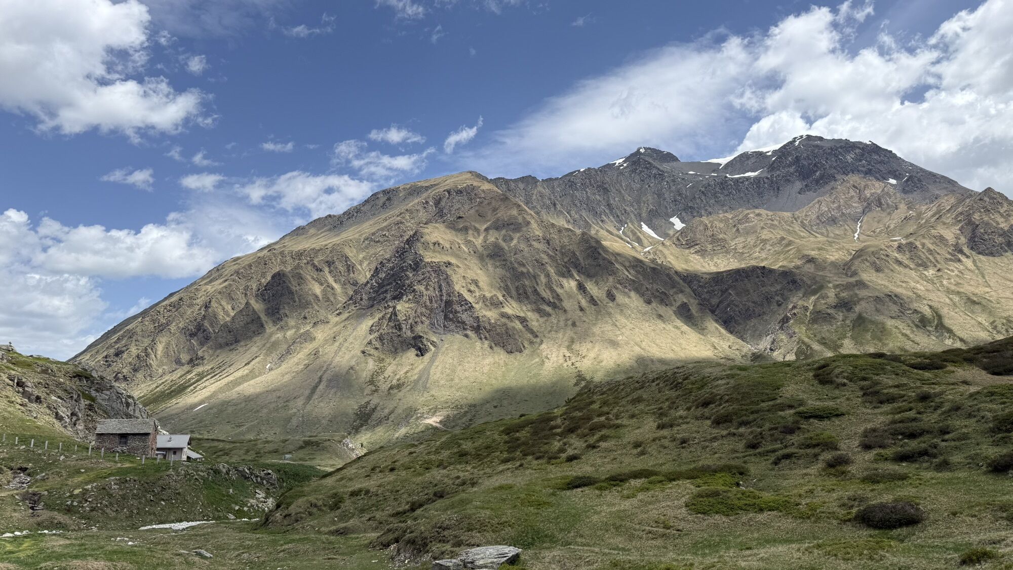
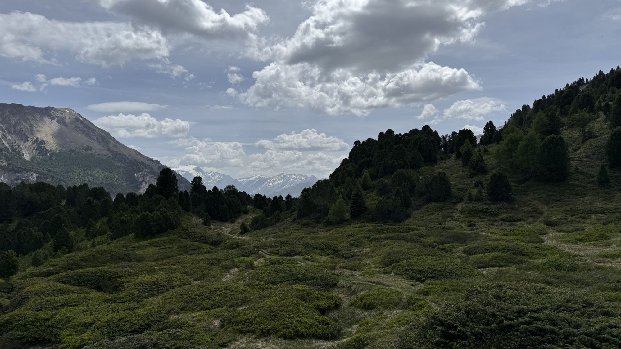
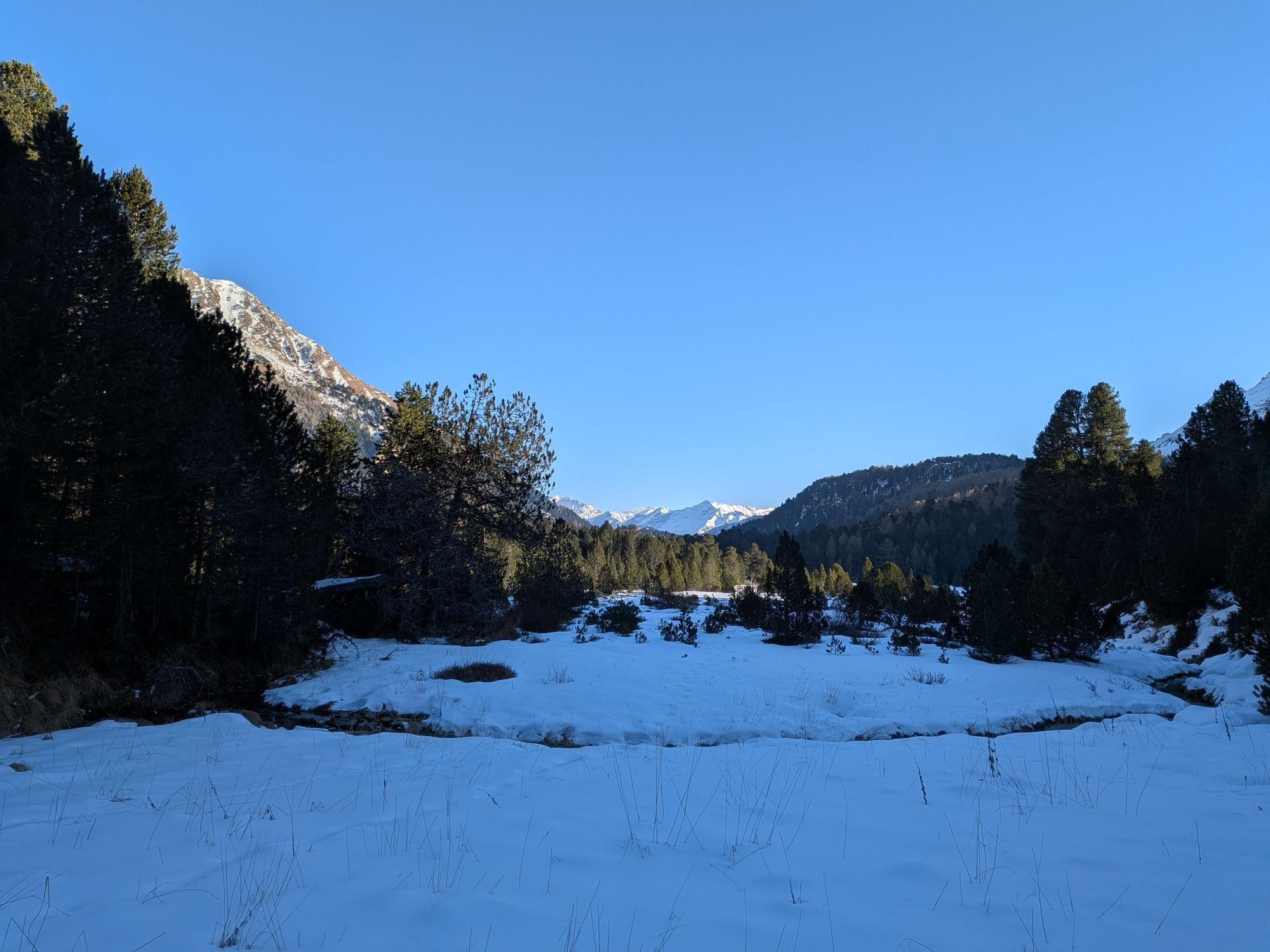

The route starts from the Passo del Lucomagno and heads along a flat dirt road to Alpe Croce. The trail winds through flat pastures on the right side of the valley and reaches Foppa di Pertusio before...
The route starts from the Passo del Lucomagno and heads along a flat dirt road to Alpe Croce. The trail winds through flat pastures on the right side of the valley and reaches Foppa di Pertusio before descending to Alpe Casaccia, crossing the Brenno river.
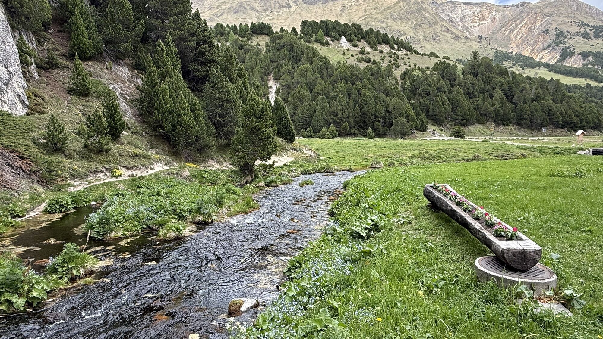
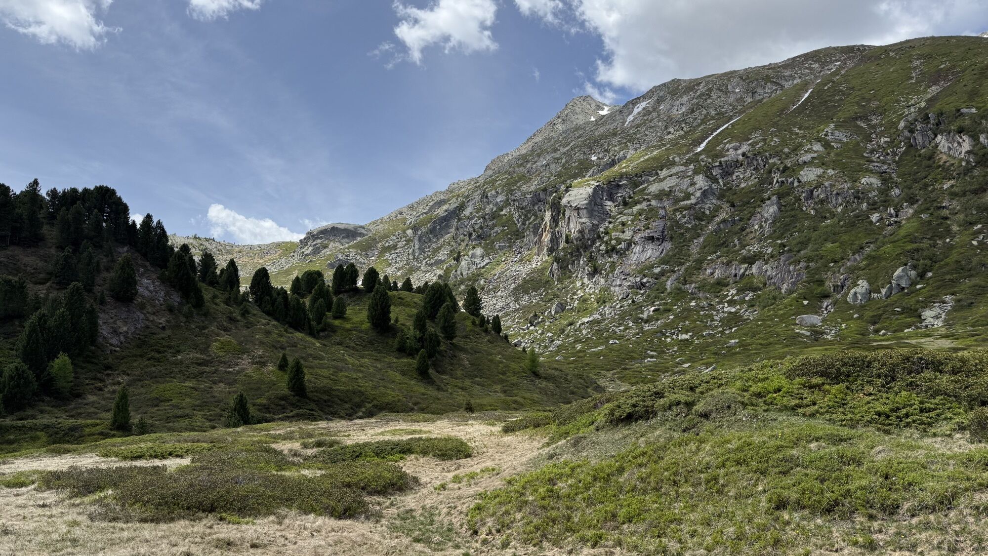
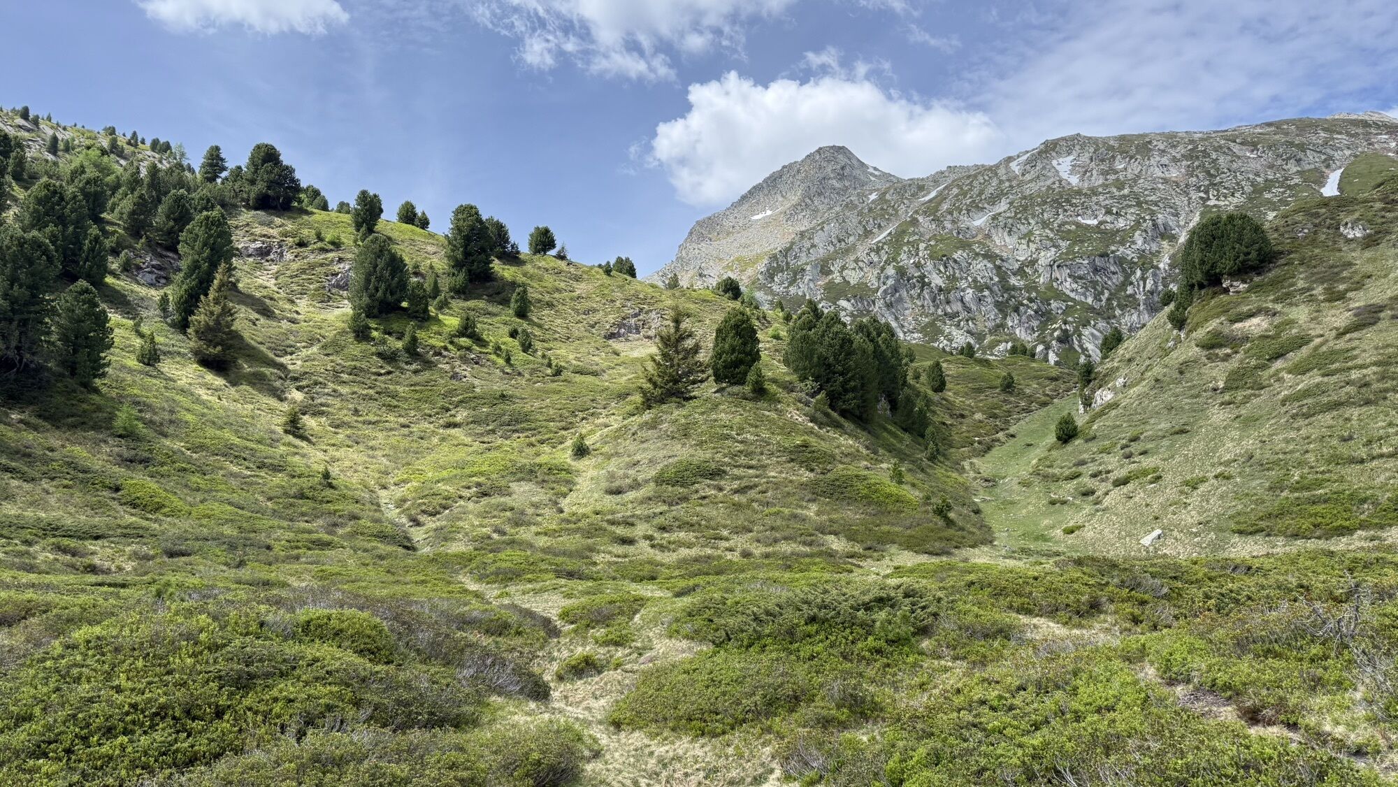
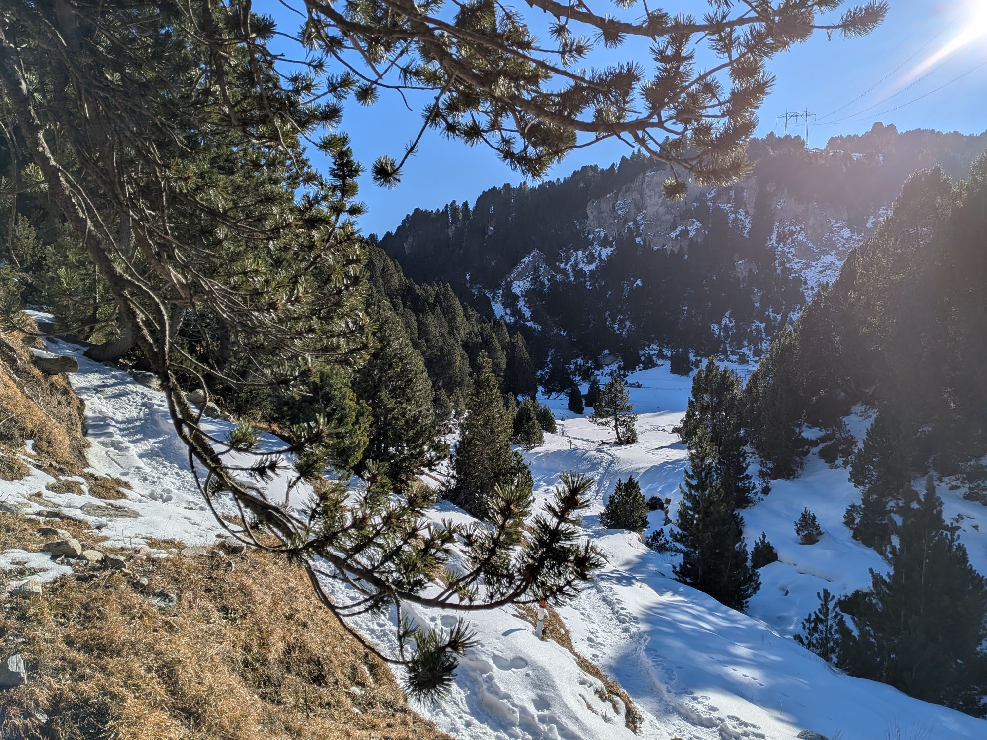
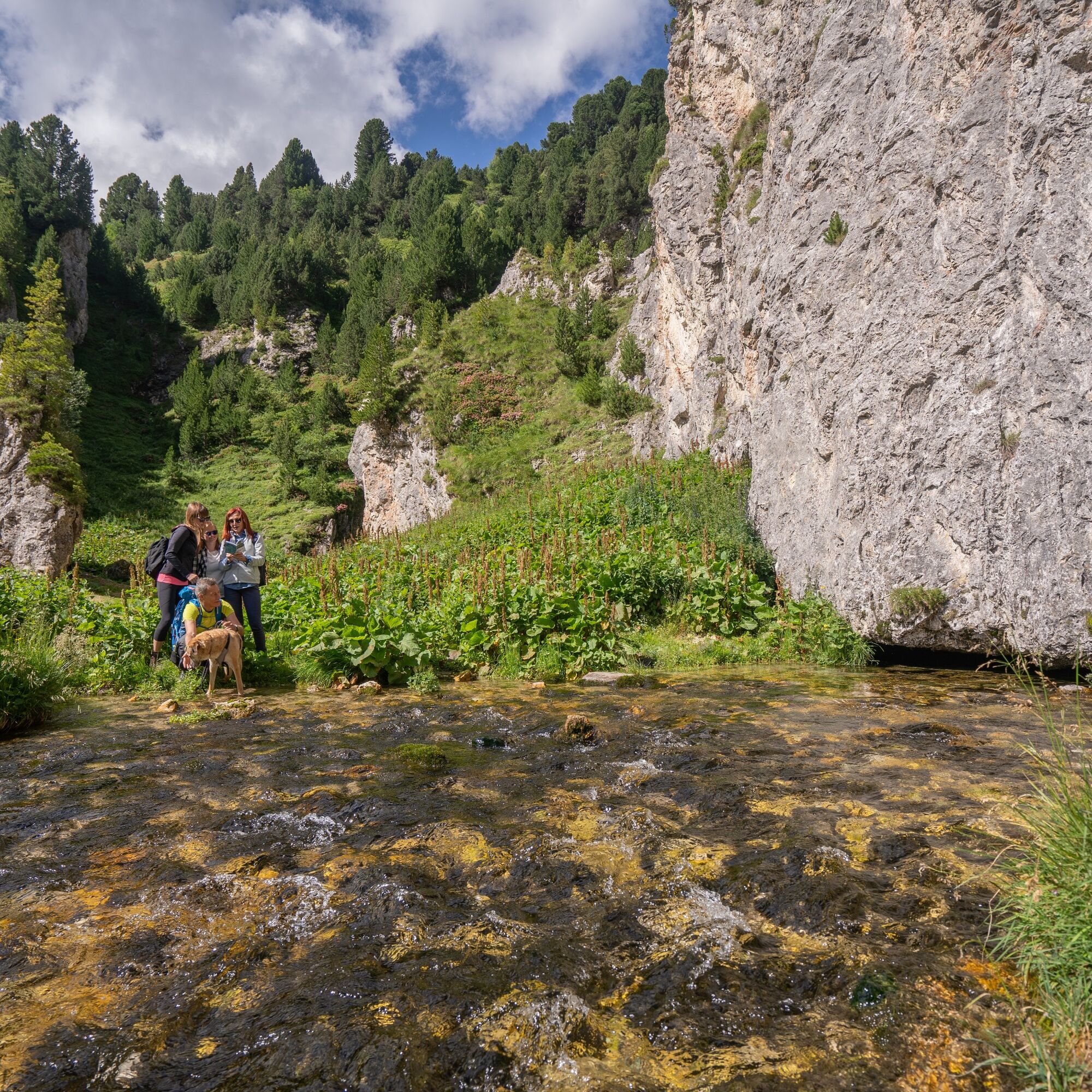
It then climbs along the left side and continues toward Alpe Pertusio on a flat path along the river which, on sunny days, takes on wonderful shades of light blue, often with small white sandy coves.
It is a very picturesque river section: the river, with its successive winding curves, creates a unique riverbed that generates a unique ecosystem after each flood.
In the water, besides the trout, there are hundreds of insect species, such as mayflies, stoneflies, and "stone carriers." Life also continues beneath the visible parts: even in the sediments under the gravel, for several meters deep, tiny aquatic organisms can be found.
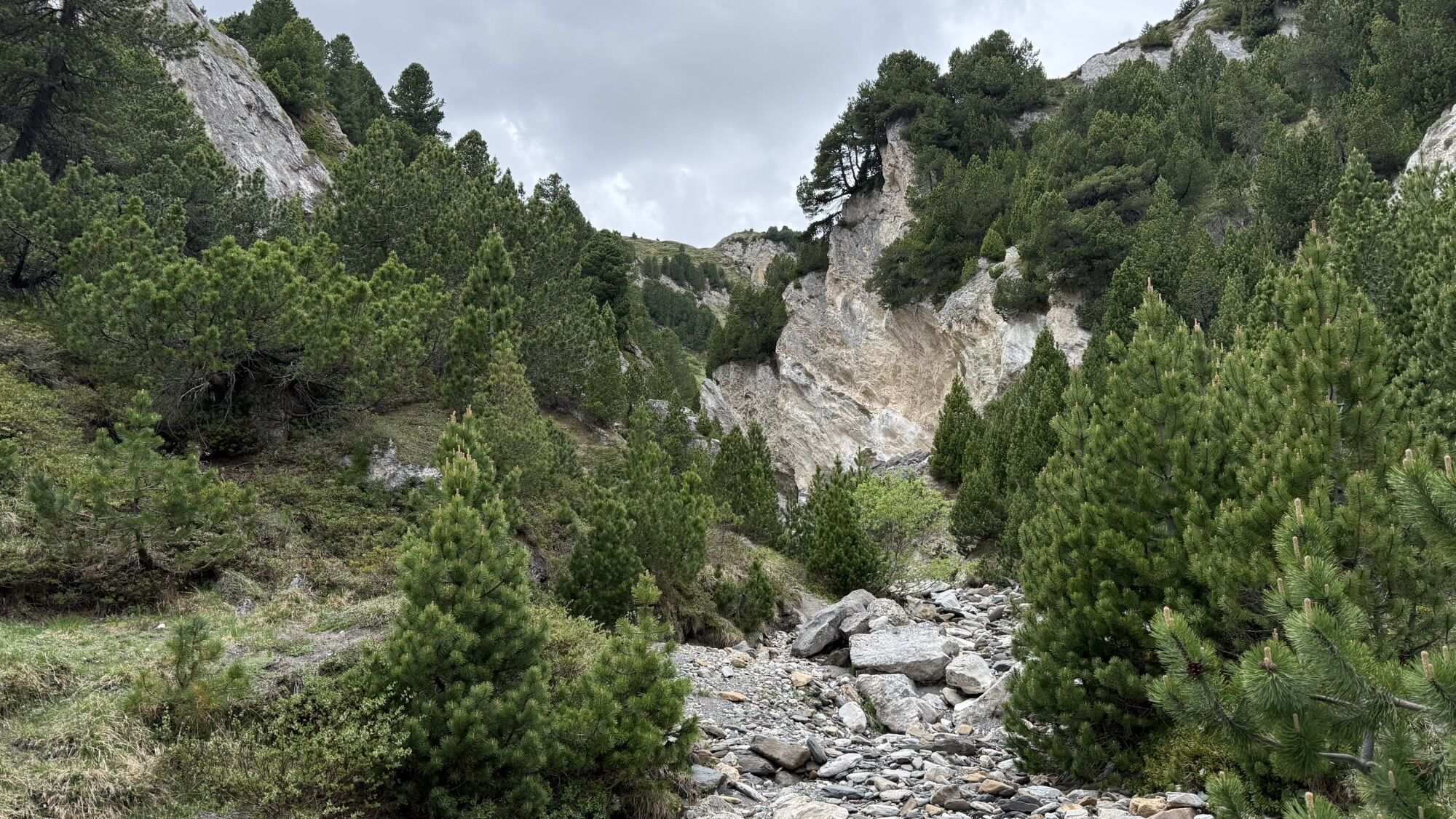
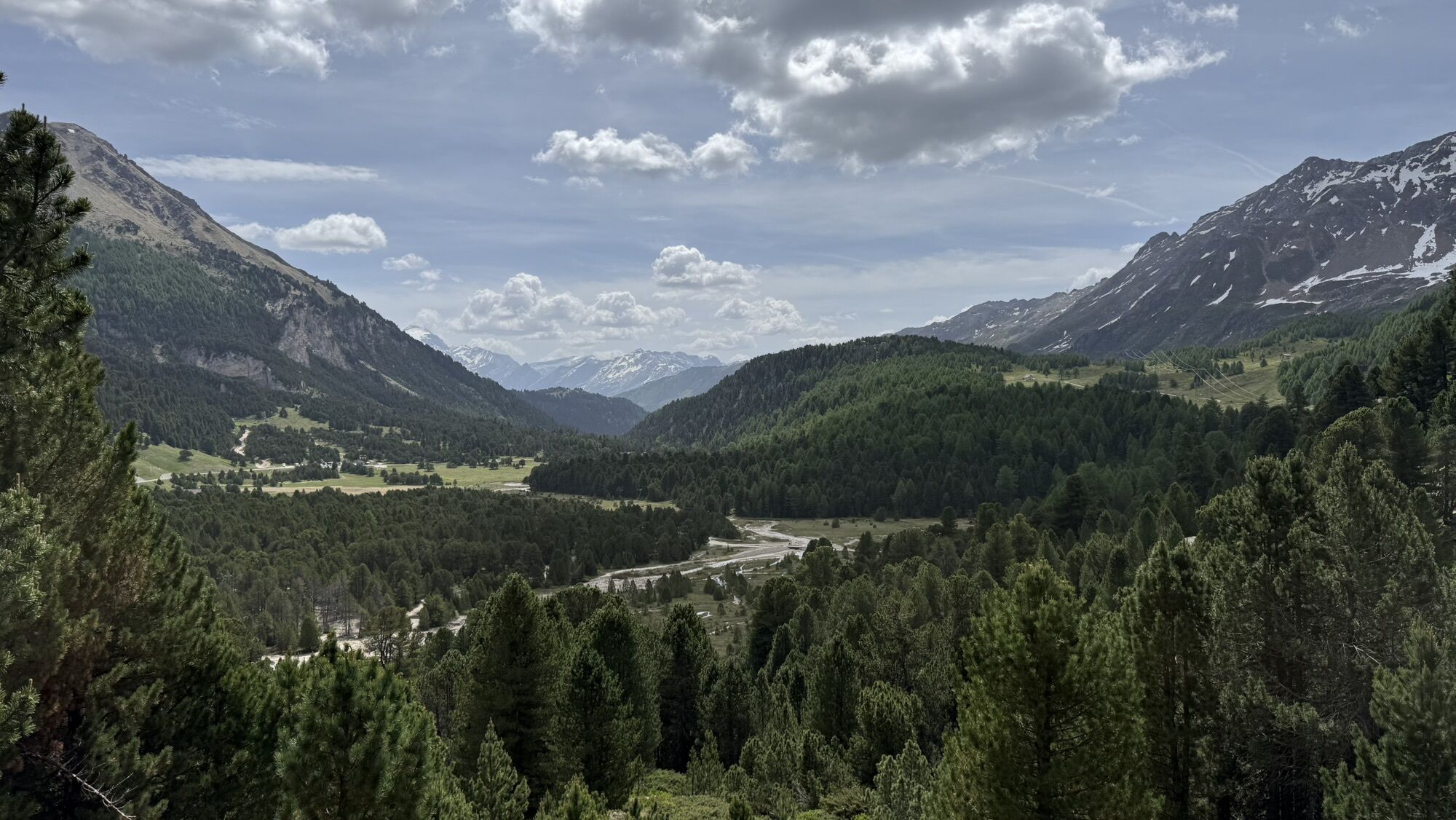
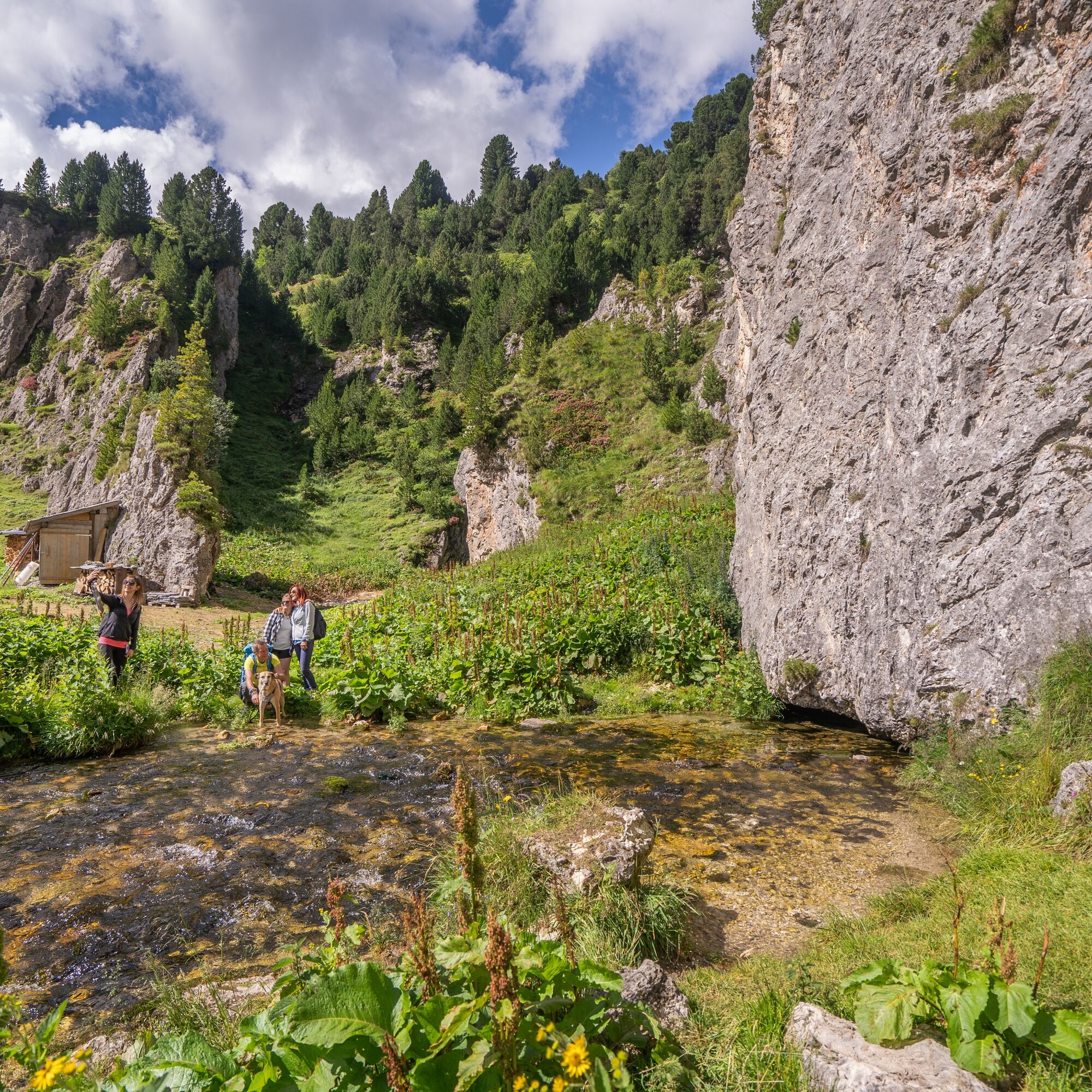
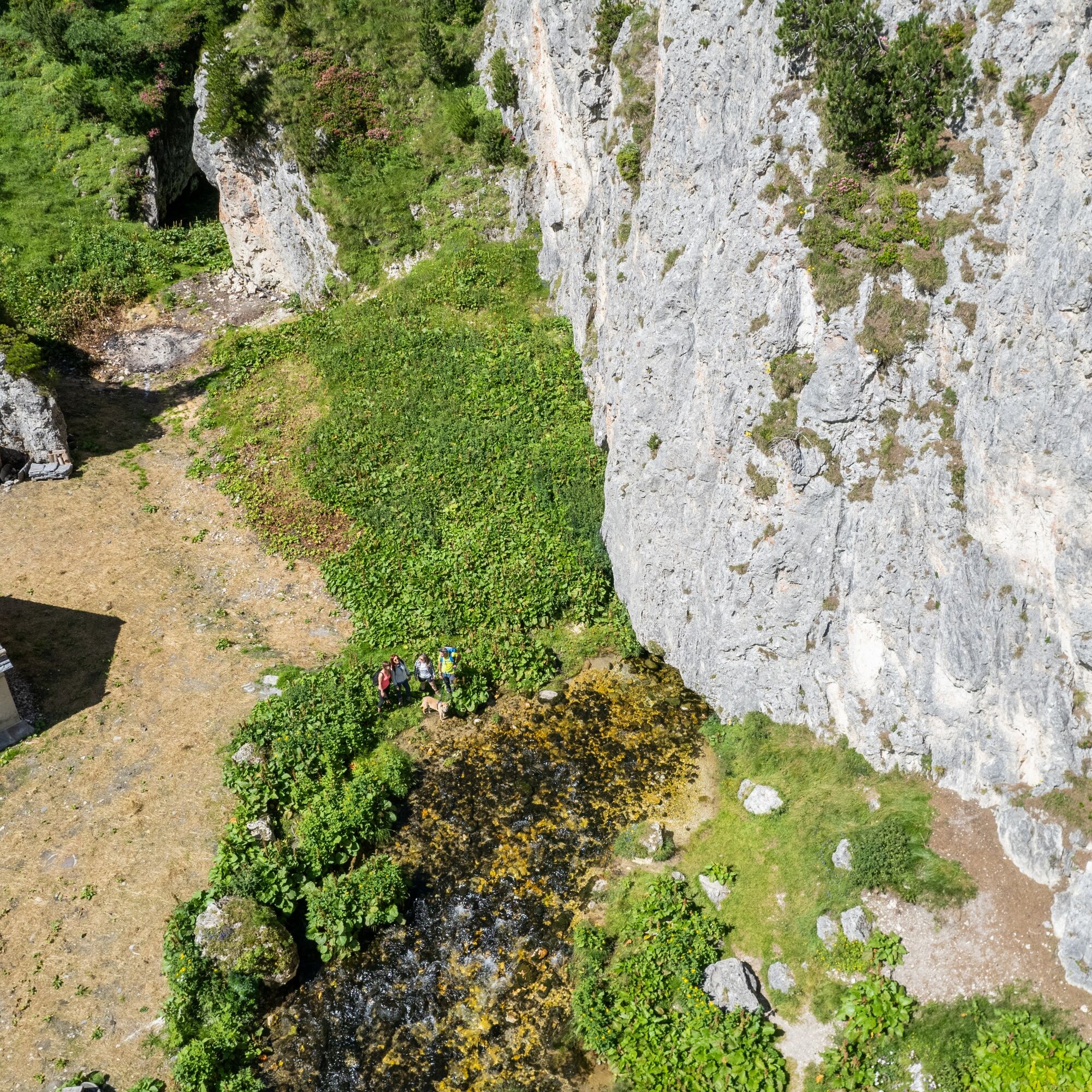
At one point, you reach a sign indicating the source of the Brenno river, reachable within a few minutes.
Upon arrival, a truly wonderful spectacle awaits: water flowing clear and pure directly from a crevice at the foot of the mountain. With a maximum flow of 1,300 l/s, it is one of the largest in the canton: two divers managed to explore it for 300 meters, reaching a depth of 45 meters!
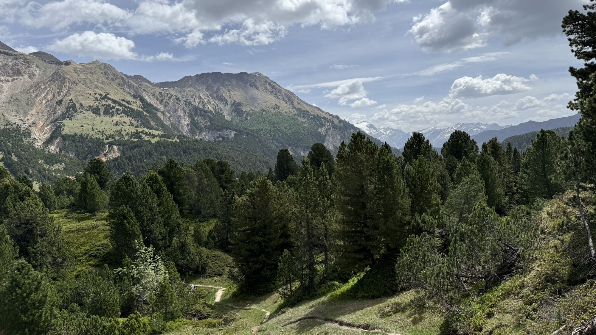
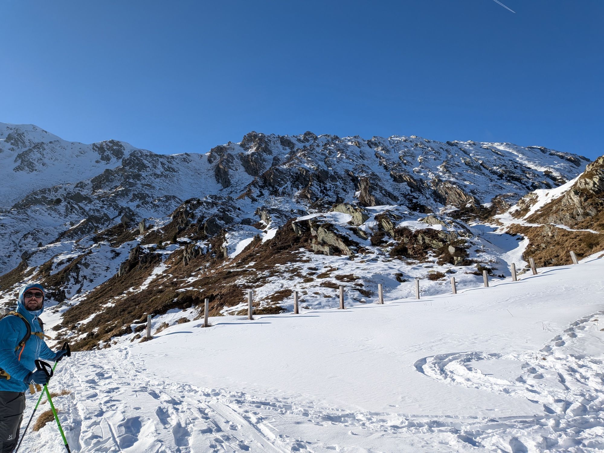
The trail then immediately ascends northward, passing through a very short, quite steep section, before reaching the starting point along the wide meadows of Passo del Lucomagno.
Tak
Waterproof, lightweight, and warm clothing
Hiking boots
Small first aid kit with knife
Sunglasses, sunscreen, water bottle
Hiking / topographic map
Compass
Camera
Food
Montagnepulite: This project was created to promote effective and sustainable management of alpine huts in the Ticino territory, especially waste management. Responsible waste management in the mountains is a matter of common sense. We can all contribute: www.montagnepulite.ch
Popularne wycieczki w okolicy
- 5,0
Rheinquelle - Lai da Tuma über den Pazzolastock
średniWędrówka 10,3 km Rheinquelle - Lai da Tuma
średniWędrówka 5,67 kmGiro della Greina
Wędrówka 50,6 km- 3,8
Piz Cavradi
średniWędrówka 6,48 km Val Piora lakes route
średniWędrówka 15,8 km- 5,0
Passo delle Colombe - Passo del Sole
Wędrówka 12,4 km - 4,7
Tibet Suspension Bridge Route Riasc
światłoWędrówka 6,12 km 3-day route Greina-Lucomagno (entire route / 3 stages)
średniWędrówka 39,2 kmLai Blau
Wędrówka 8 kmKapellen - Wanderung im Tujetsch
światłoWędrówka 18,7 km

Wędrówki i tropienie


Nie przegap ofert i inspiracji na następne wakacje
Twój adres e-mail została dodana do listy mailingowej.