


Val Piora lakes route
Zdjęcia naszych użytkowników
 © SILVIO GALLOUtworzono dnia 06.09.2025
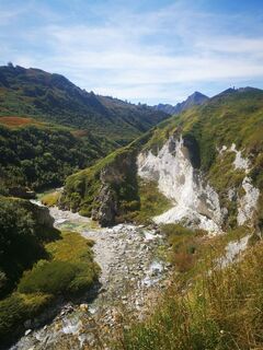 © SILVIO GALLOUtworzono dnia 06.09.2025
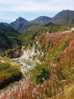 © SILVIO GALLOUtworzono dnia 06.09.2025
 © Jean Claude GuidiUtworzono dnia 09.08.2025
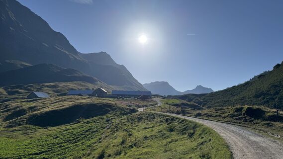 © Jean Claude GuidiUtworzono dnia 09.08.2025
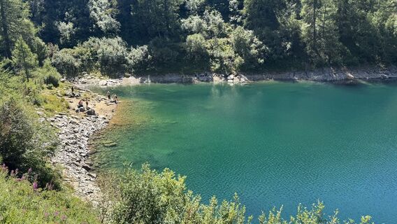
 © Marco MusioUtworzono dnia 08.08.2025
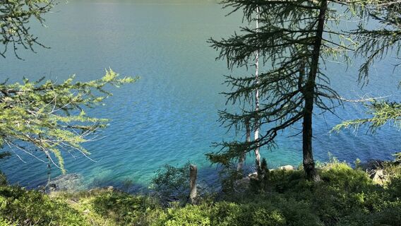 © Marco MusioUtworzono dnia 08.08.2025
 © Marco MusioUtworzono dnia 08.08.2025
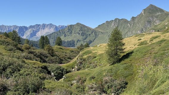 © Marco MusioUtworzono dnia 08.08.2025
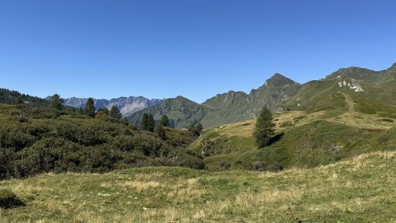 © Marco MusioUtworzono dnia 08.08.2025
 © Marco MusioUtworzono dnia 08.08.2025
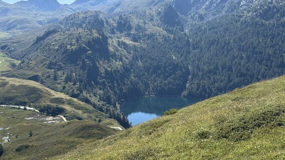 © Marco MusioUtworzono dnia 08.08.2025
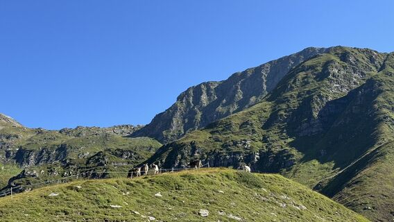 © Marco MusioUtworzono dnia 08.08.2025
 © Marco MusioUtworzono dnia 08.08.2025
 © Marco MusioUtworzono dnia 08.08.2025
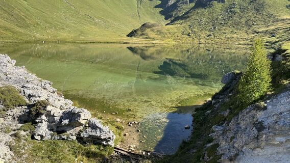 © Marco MusioUtworzono dnia 08.08.2025
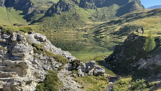 © Marco MusioUtworzono dnia 08.08.2025
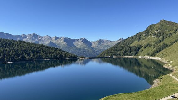 © Marco MusioUtworzono dnia 08.08.2025
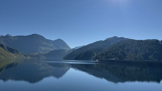 © Marco MusioUtworzono dnia 08.08.2025
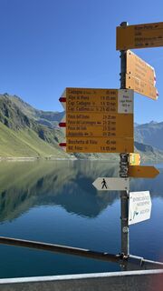 © Marco MusioUtworzono dnia 08.08.2025
 © Jean Claude GuidiUtworzono dnia 12.07.2025
 © Jean Claude GuidiUtworzono dnia 12.07.2025
 © Jean Claude GuidiUtworzono dnia 12.07.2025
 © Jean Claude GuidiUtworzono dnia 12.07.2025
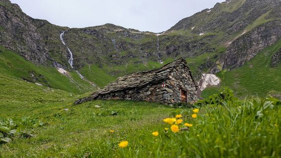
 © IRONMANPB21Utworzono dnia 23.06.2024
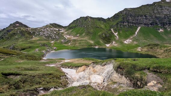 © IRONMANPB21Utworzono dnia 23.06.2024
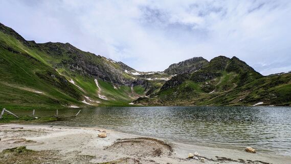 © IRONMANPB21Utworzono dnia 23.06.2024
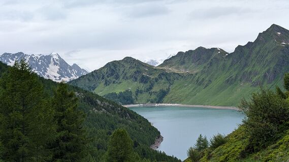 © IRONMANPB21Utworzono dnia 23.06.2024
 © IRONMANPB21Utworzono dnia 23.06.2024
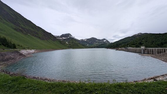 © IRONMANPB21Utworzono dnia 23.06.2024
 © Reto KloterUtworzono dnia 08.10.2022


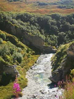
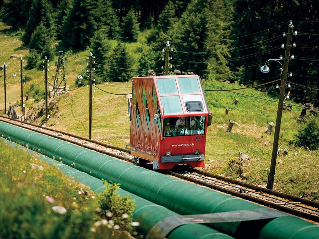
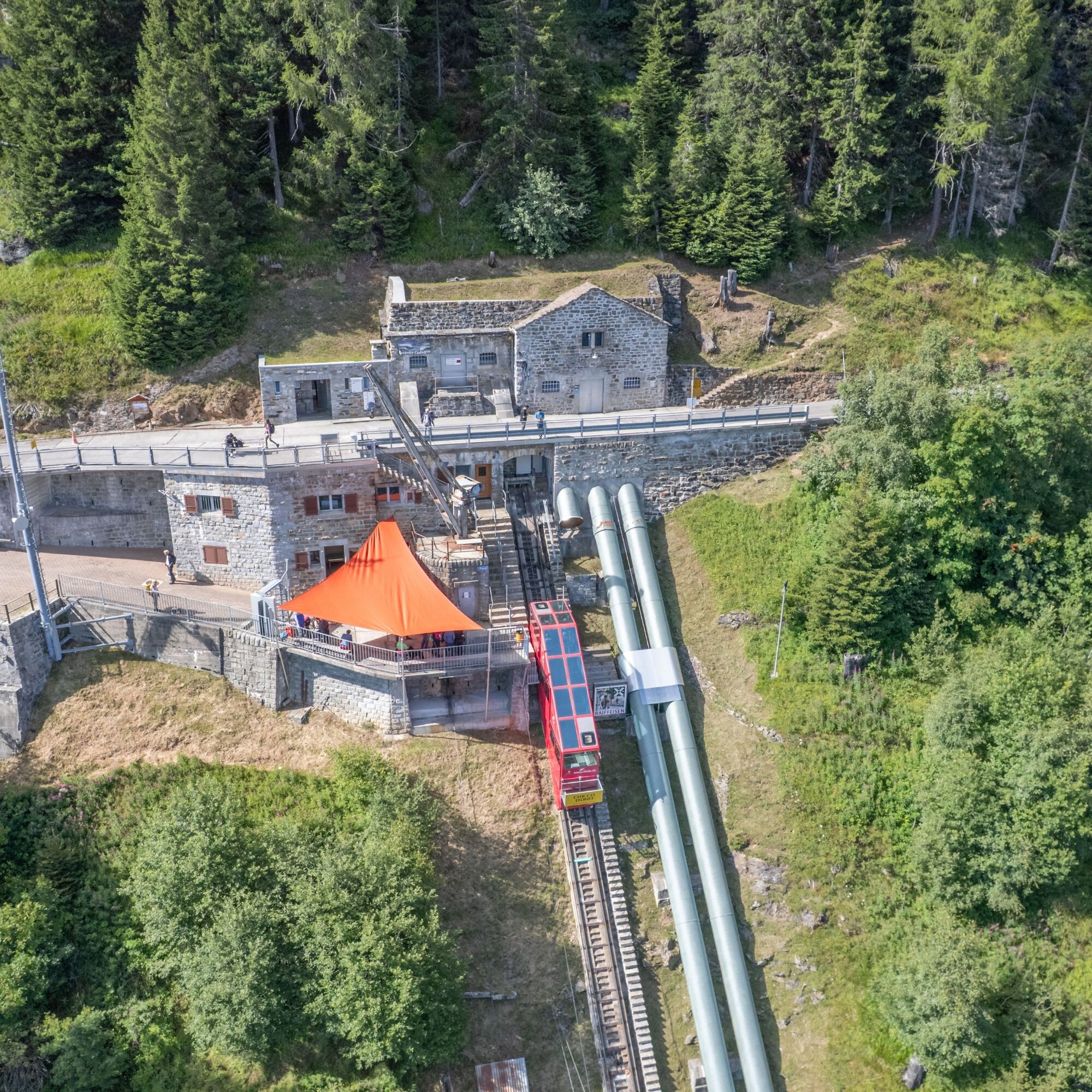
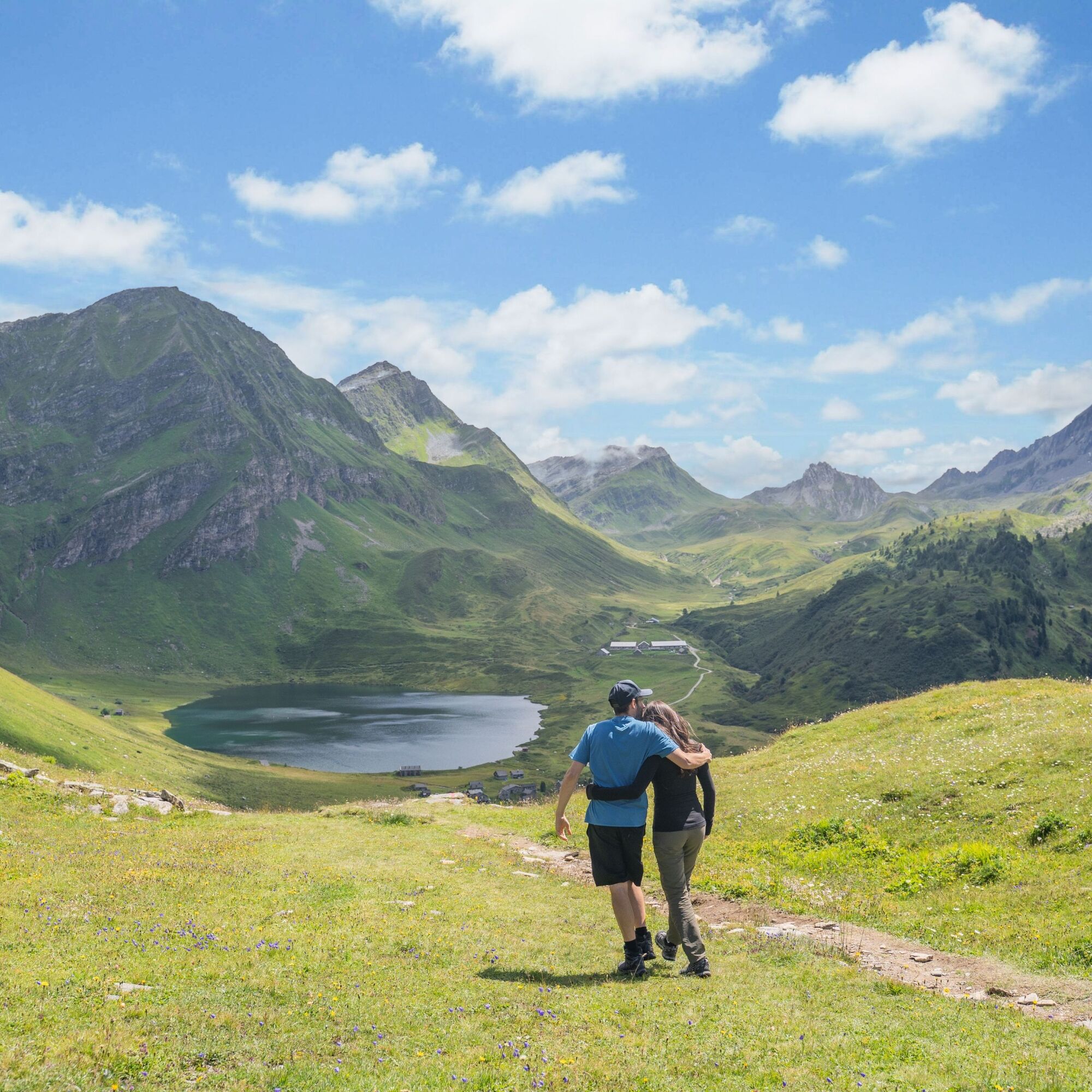
The most fascinating and at the same time practical way to reach the Val Piora lakes is to start from Piotta using the famous and characteristic red Ritom funicular, the starting and finishing point of...
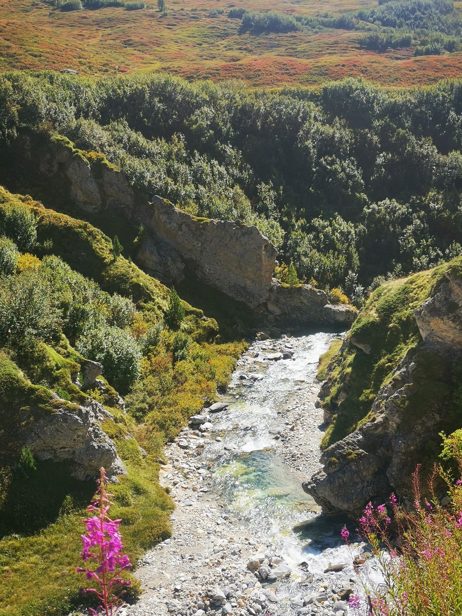
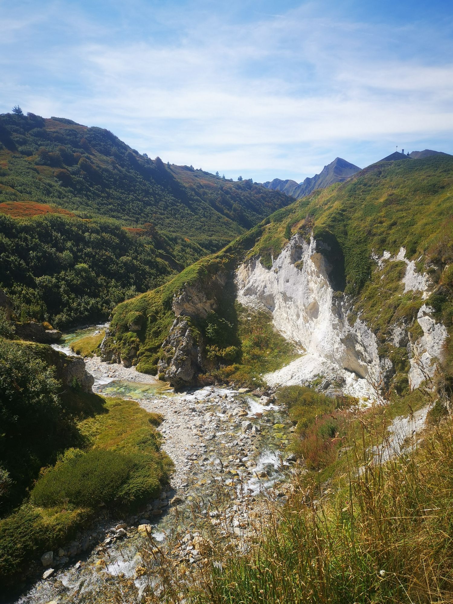
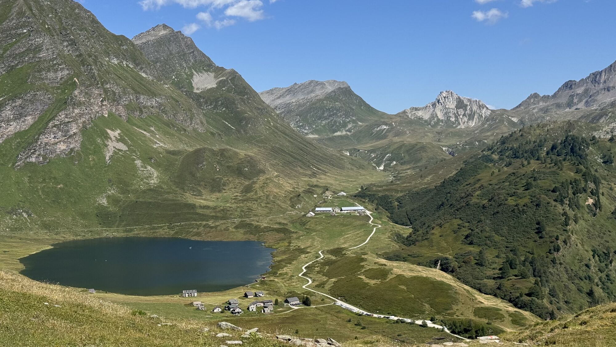
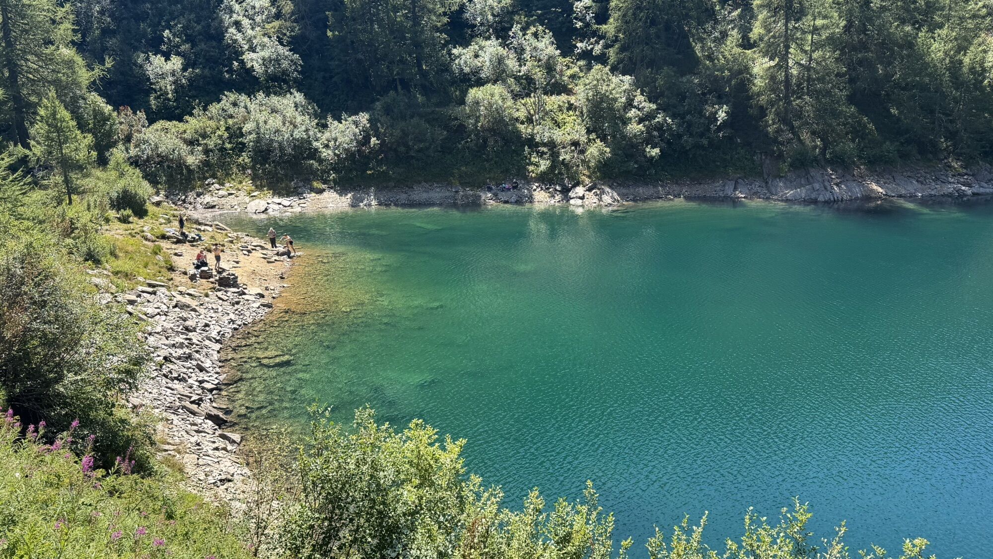
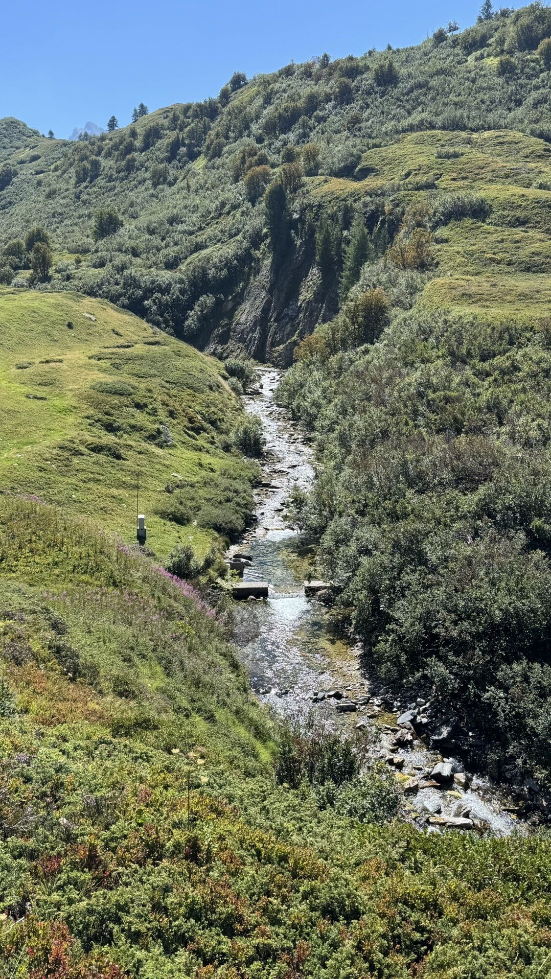
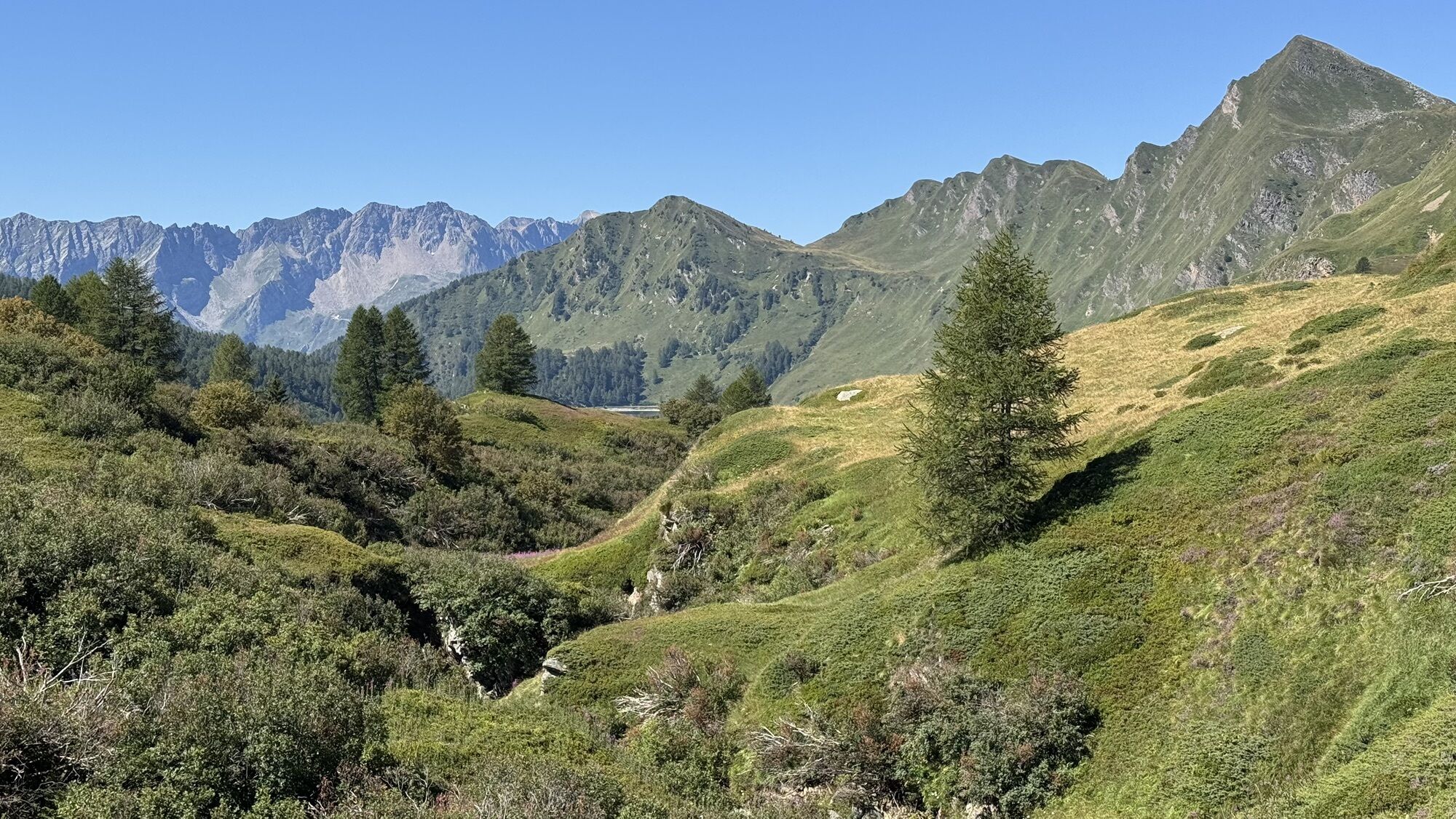
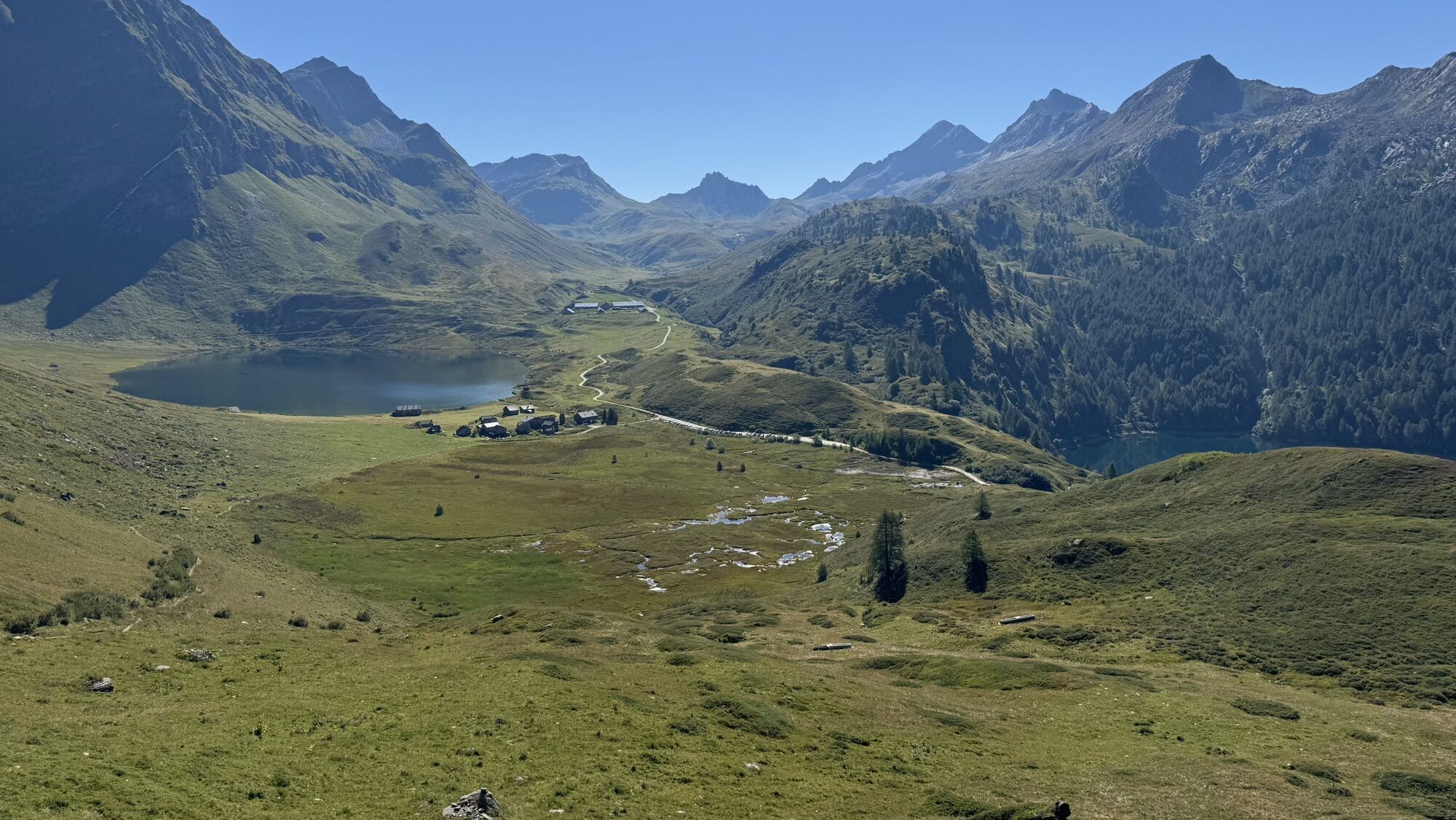
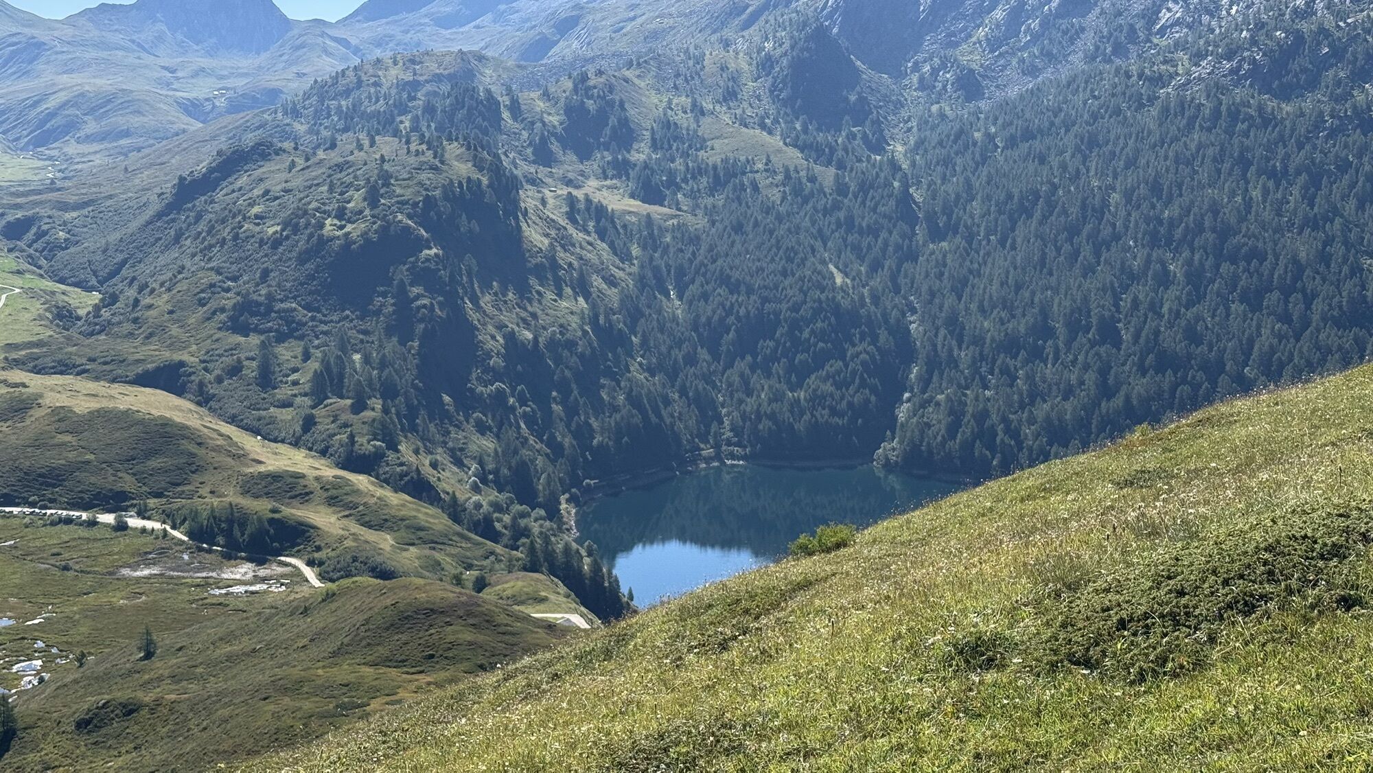
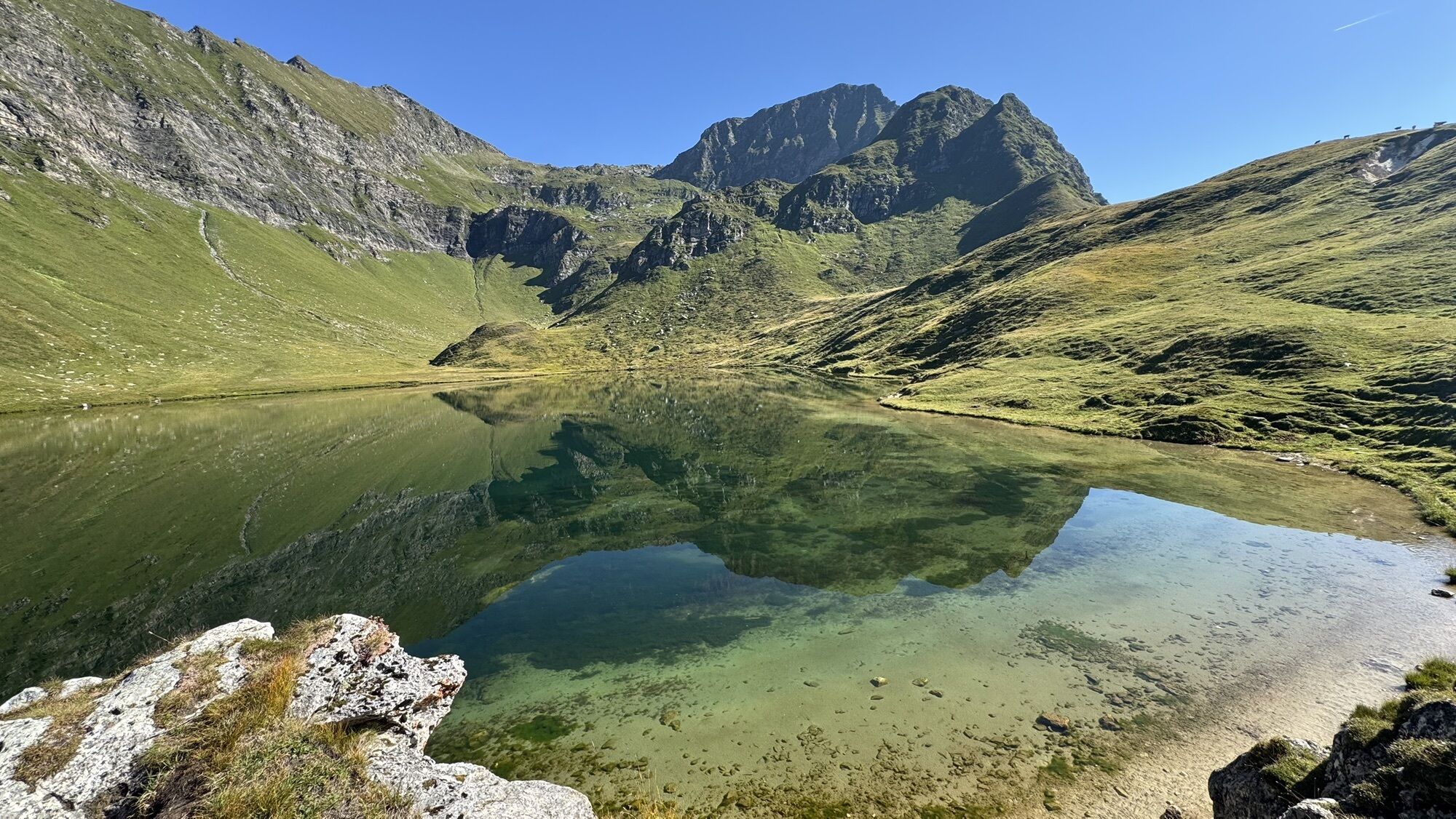
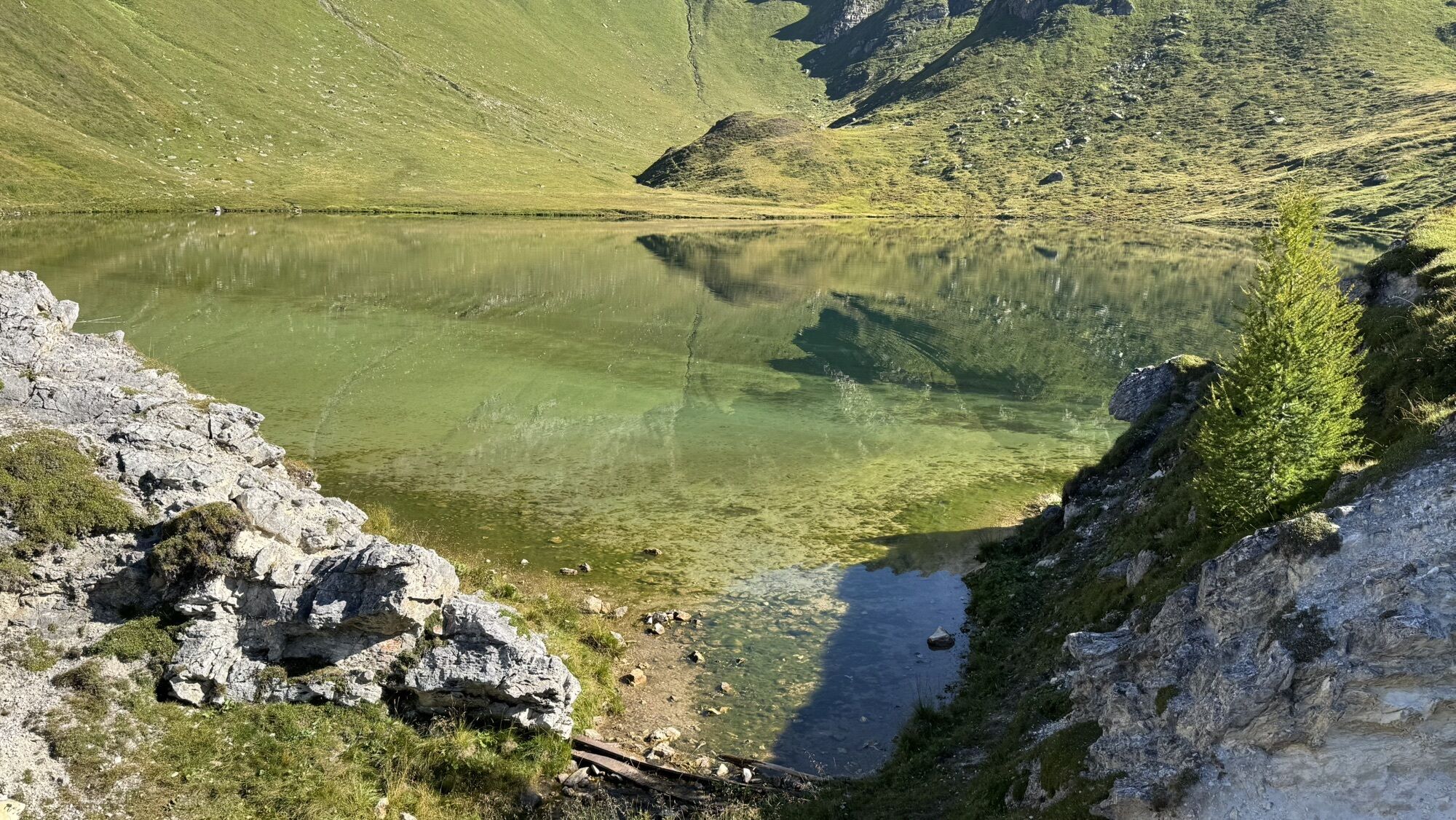
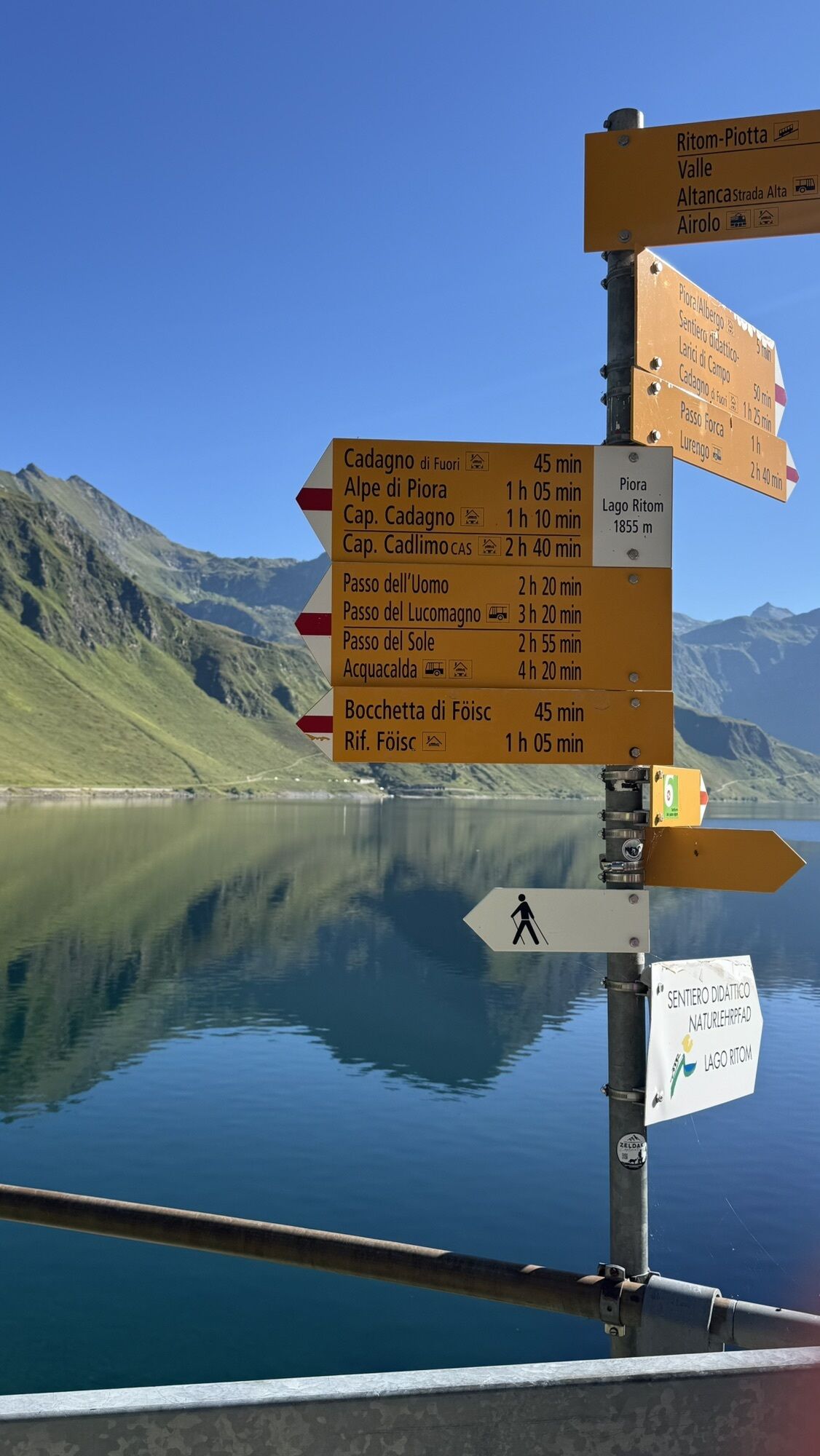
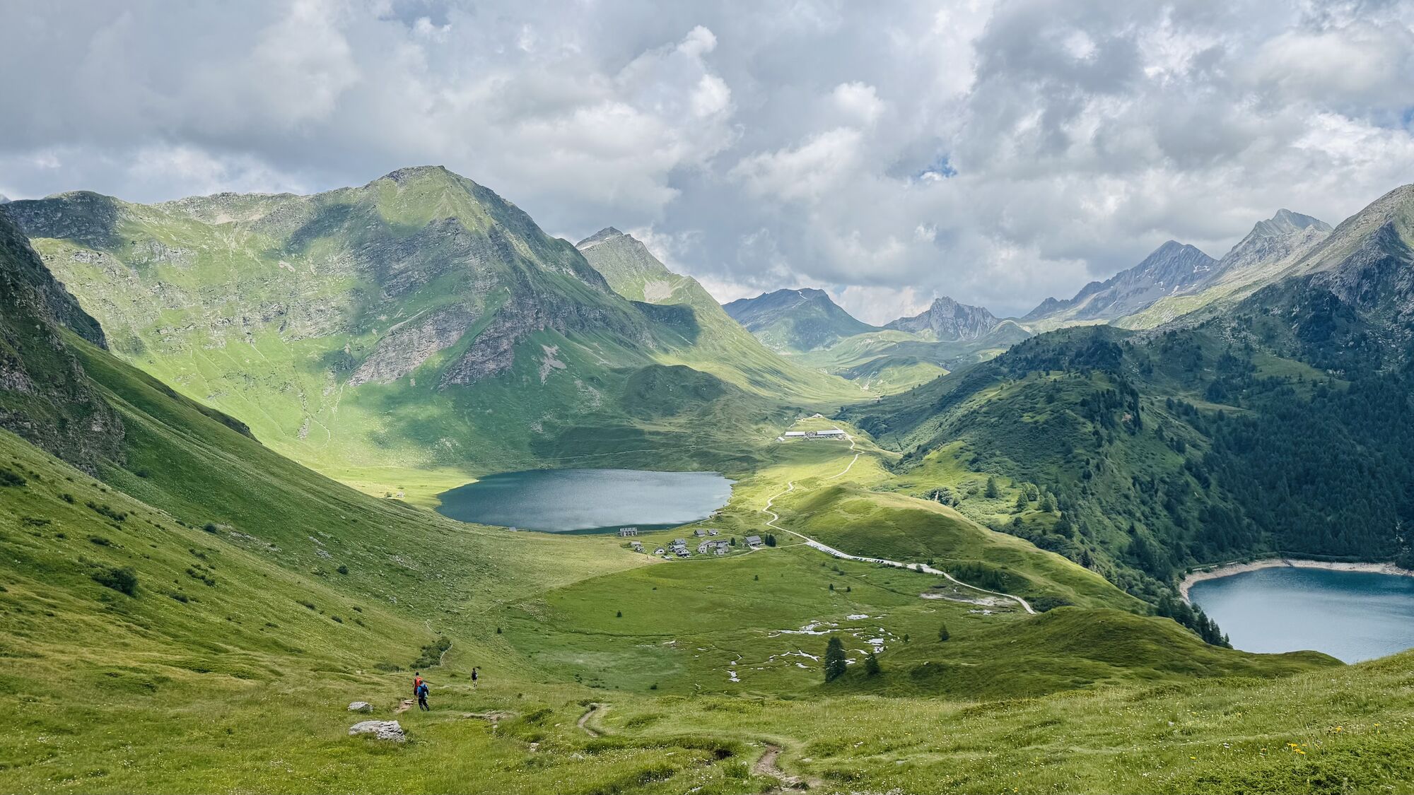
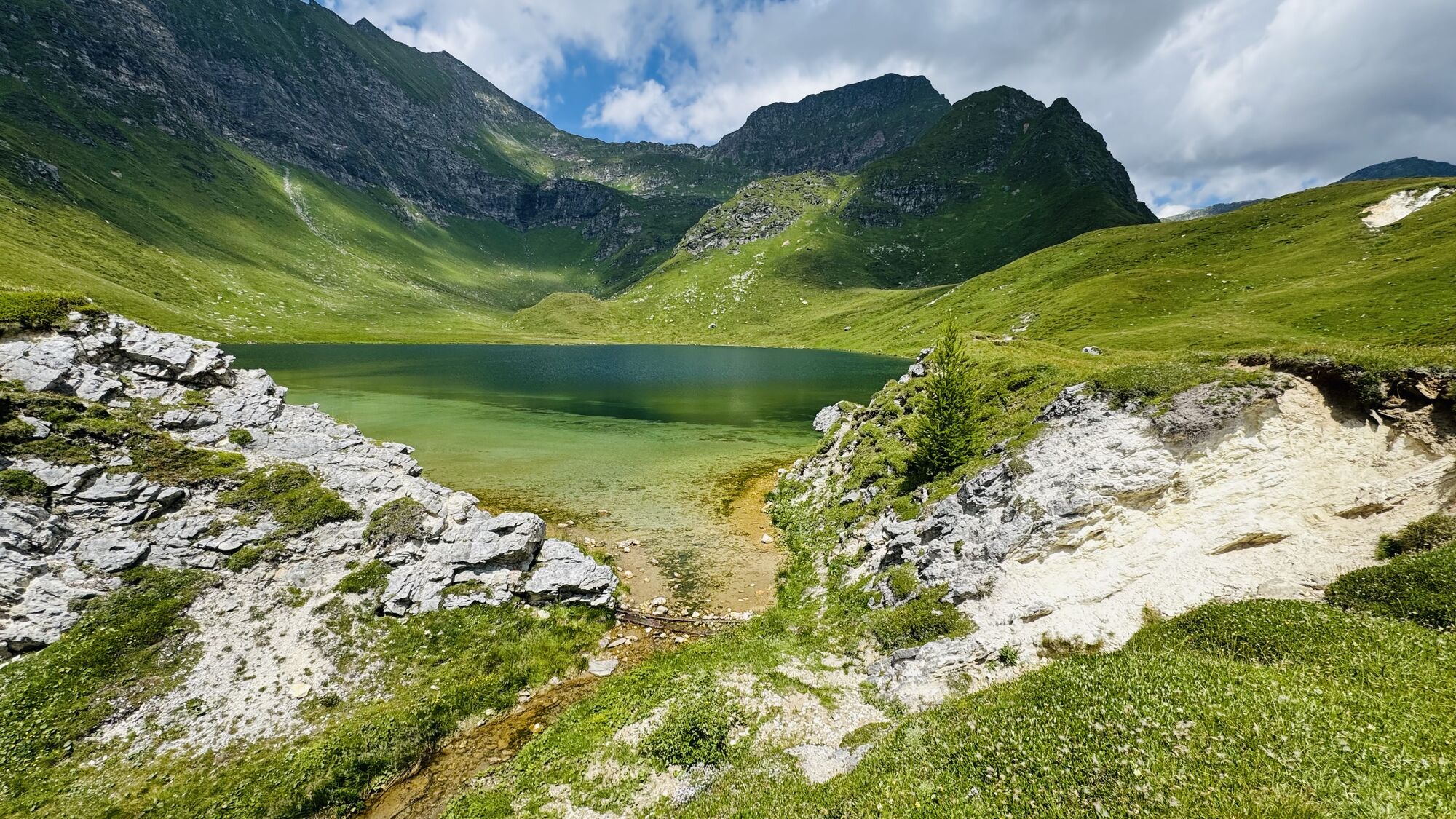
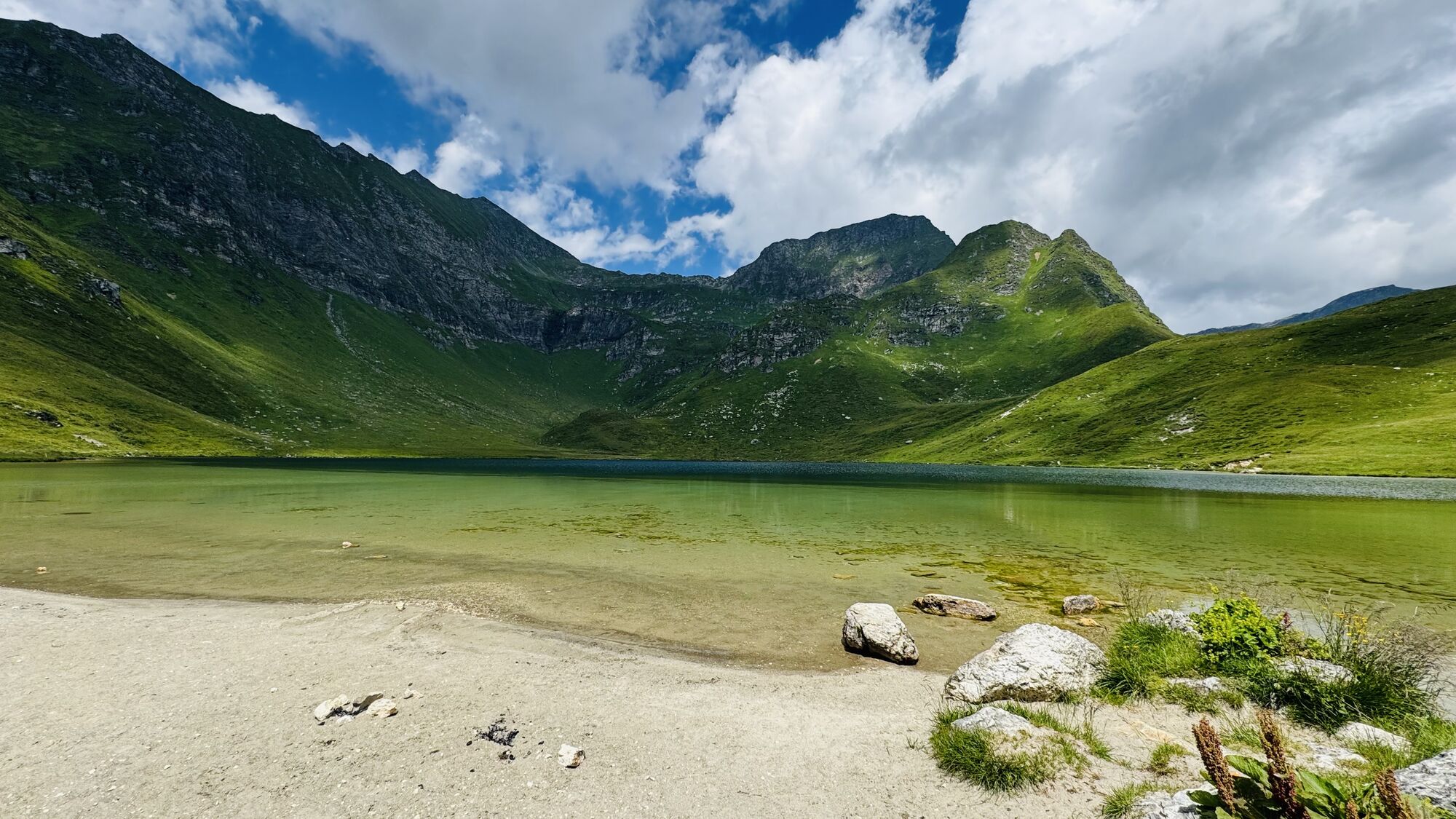
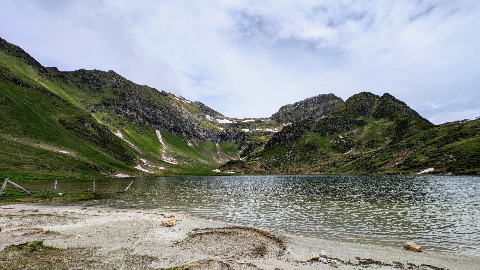
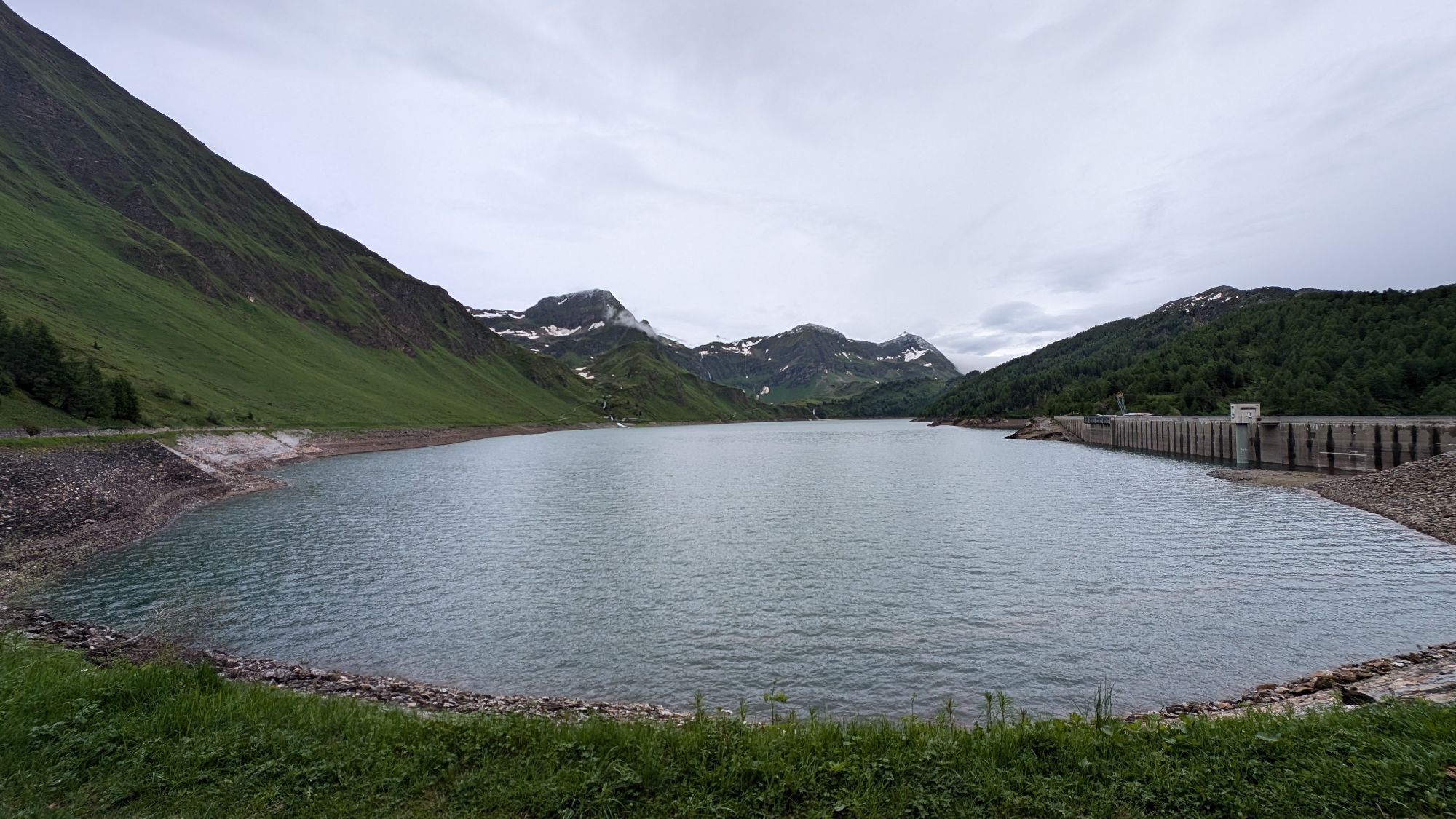
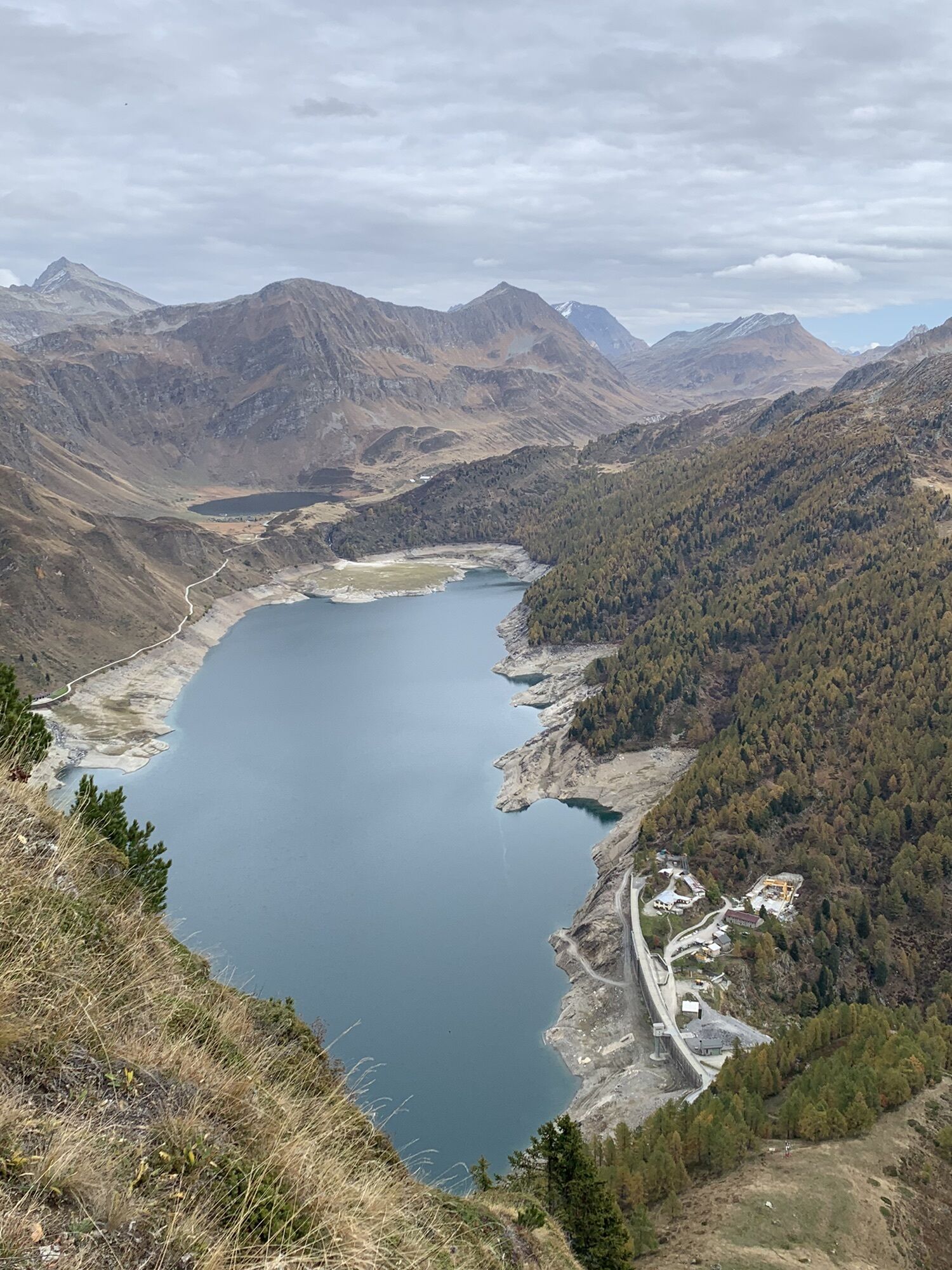
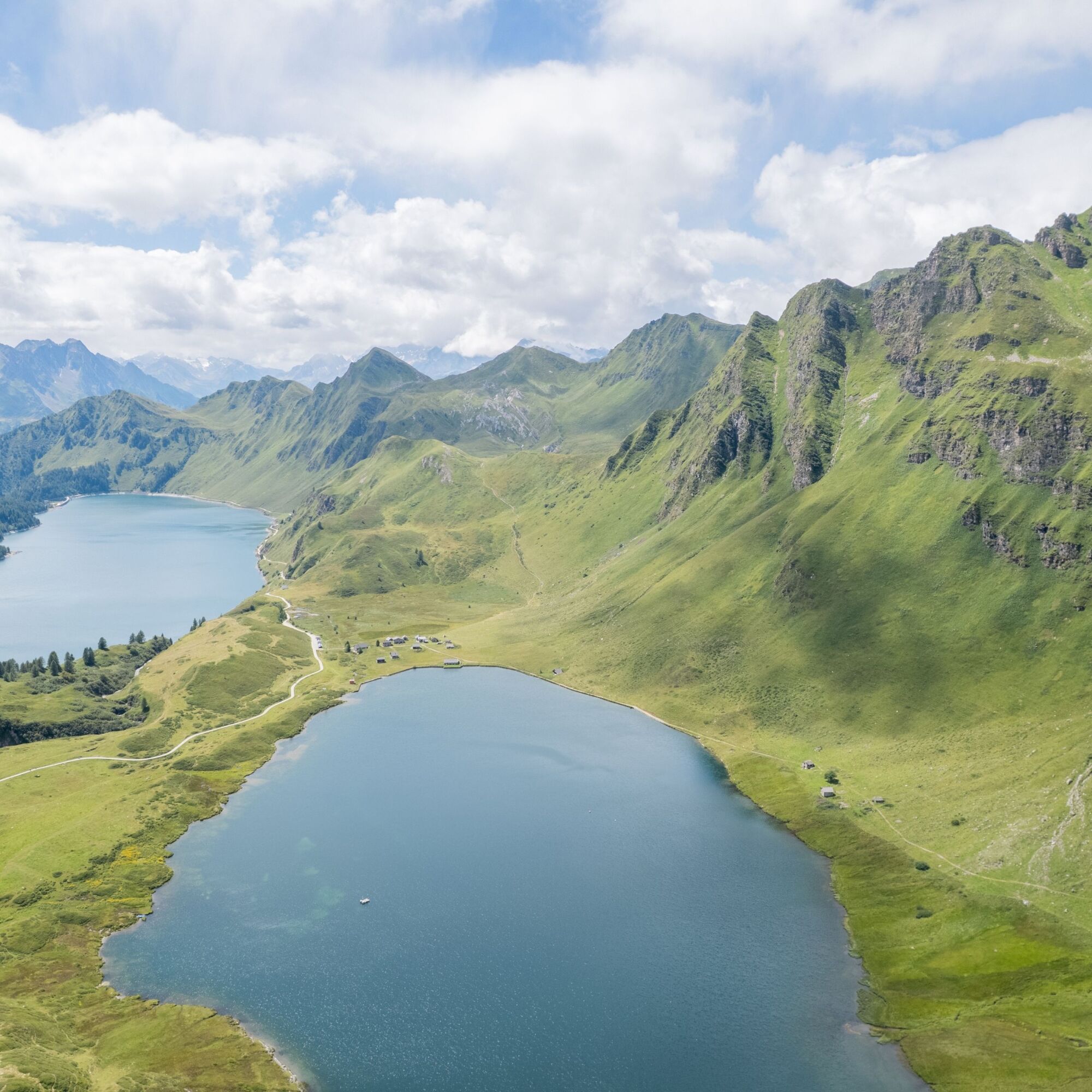
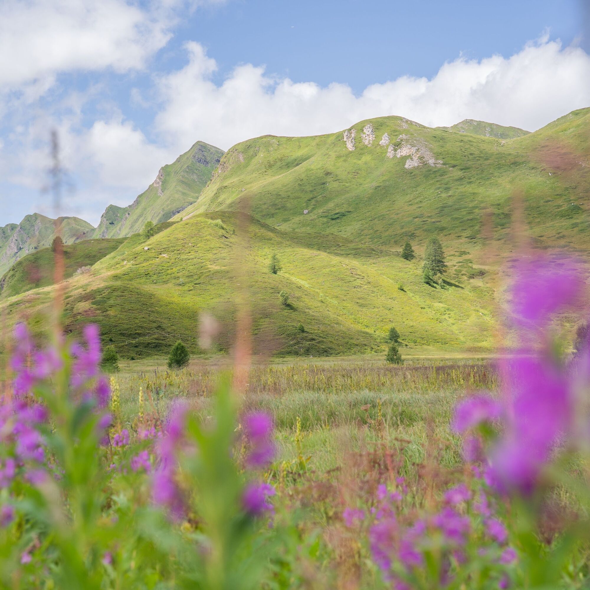
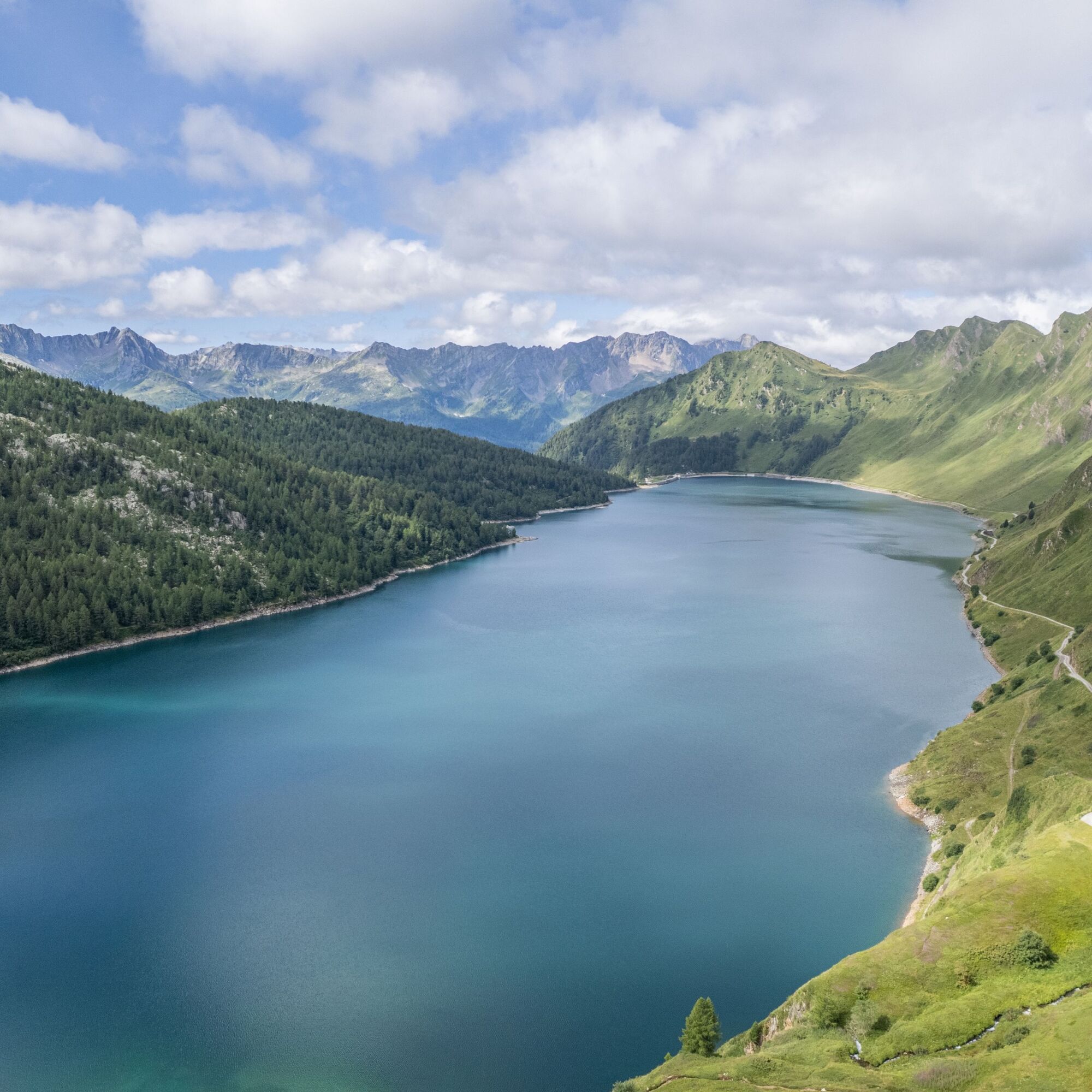
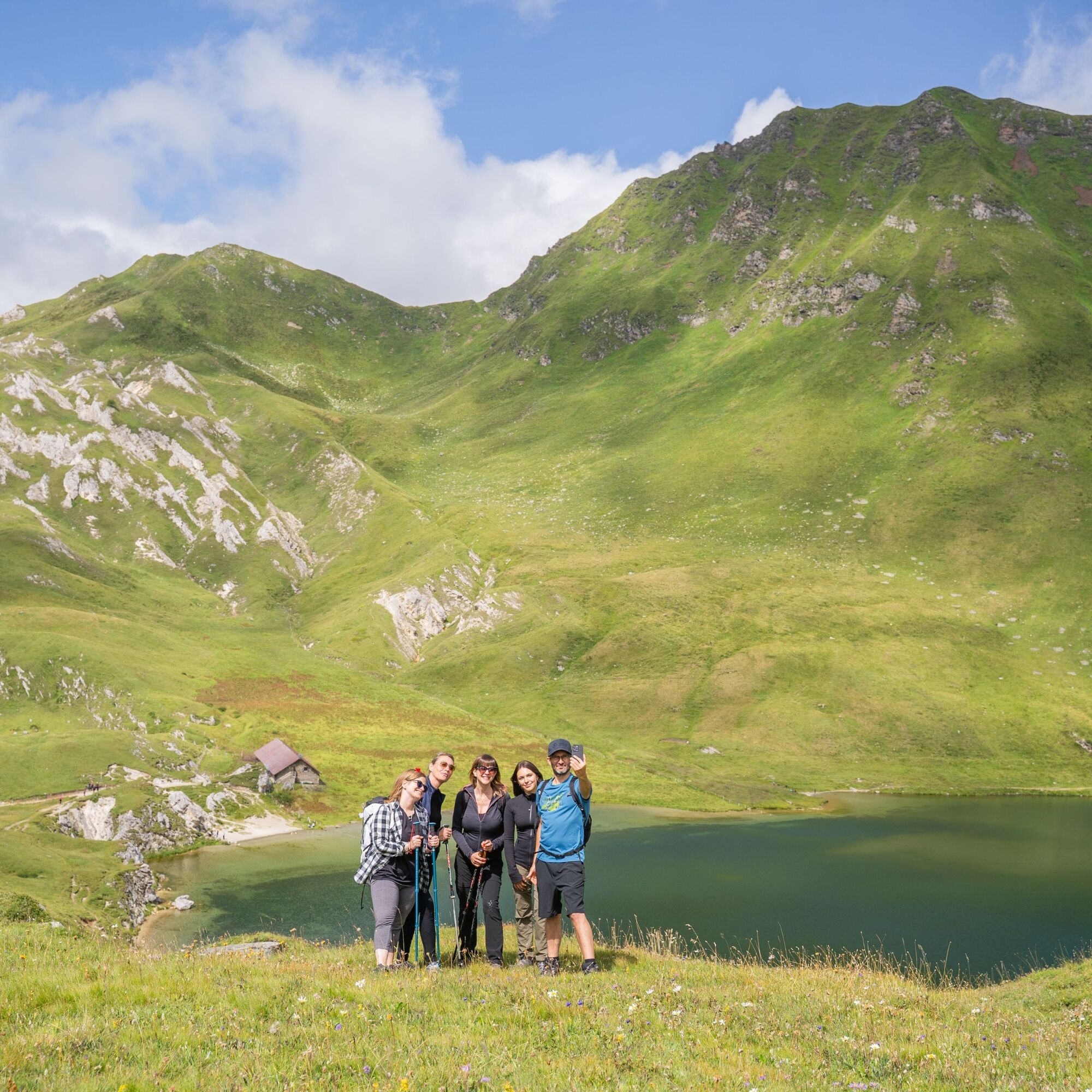
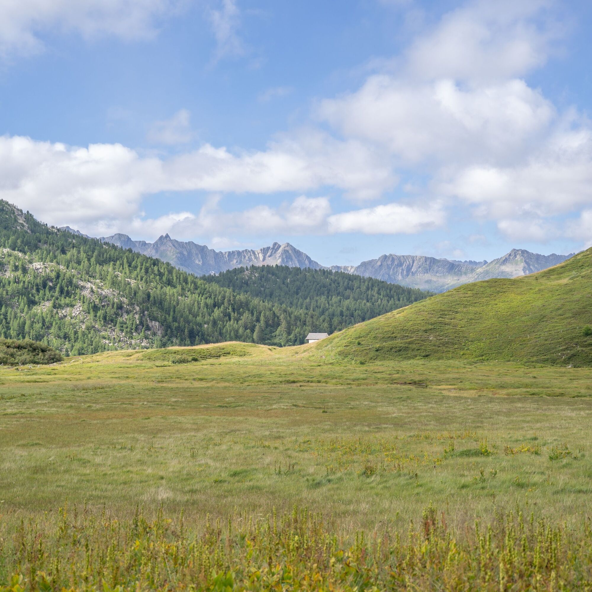
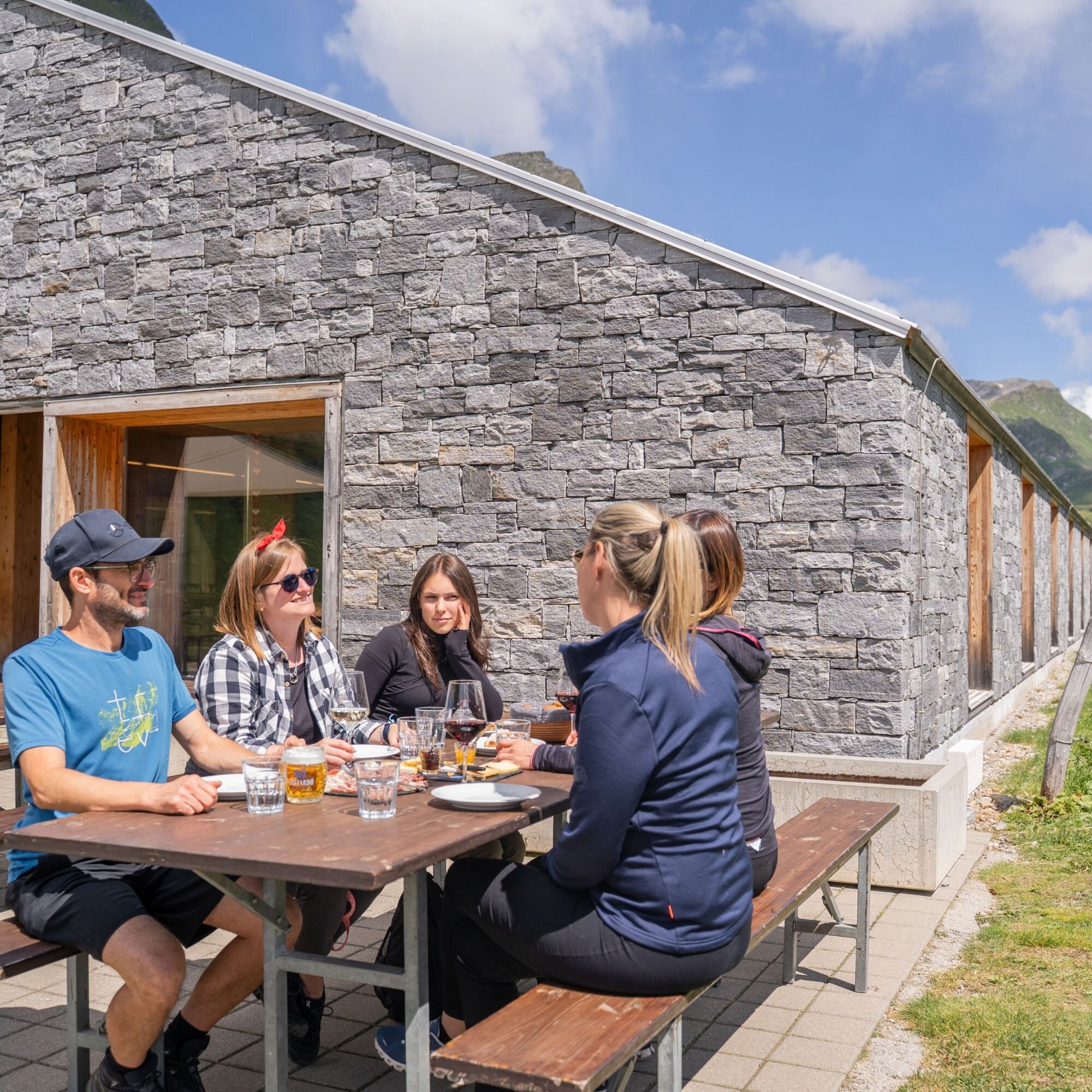
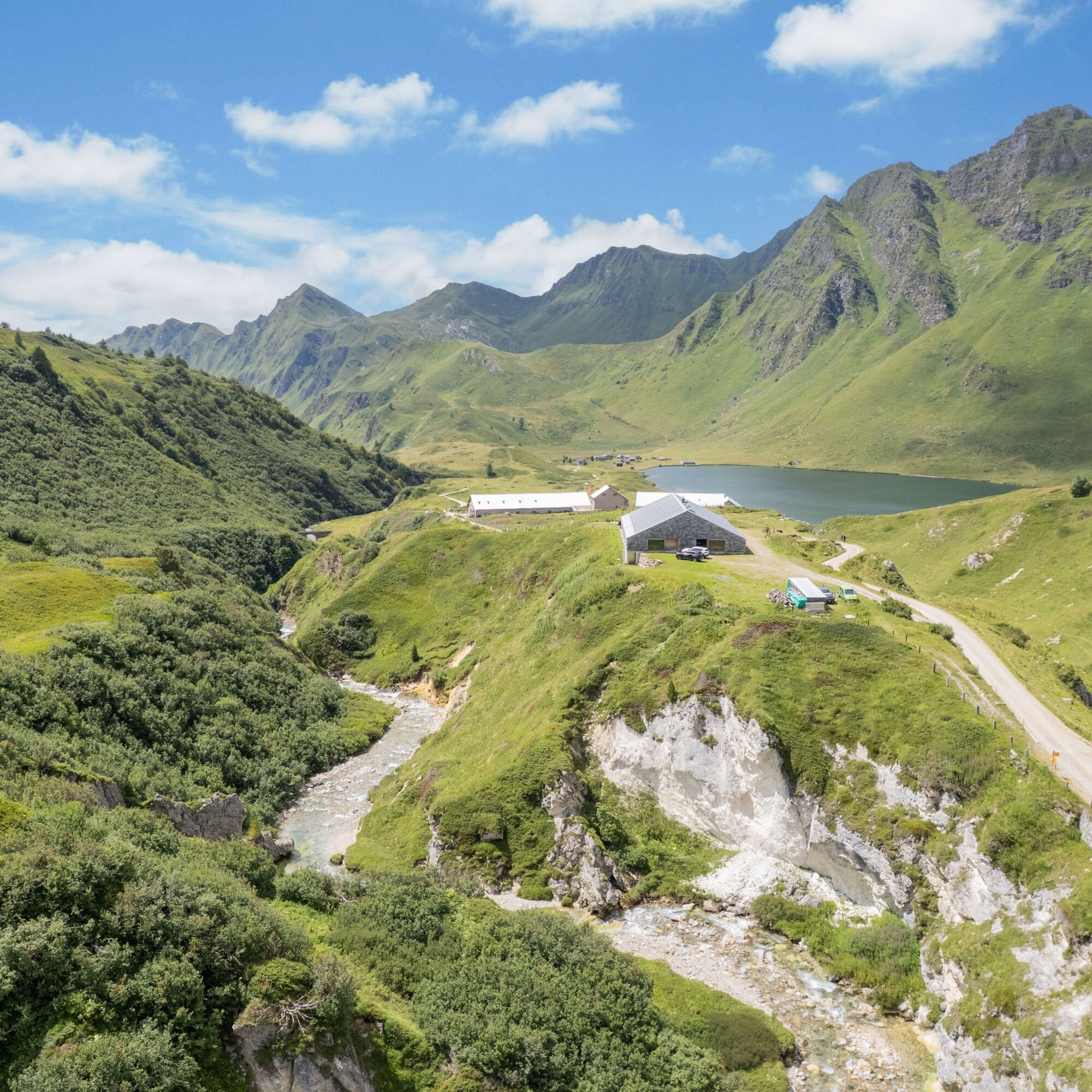
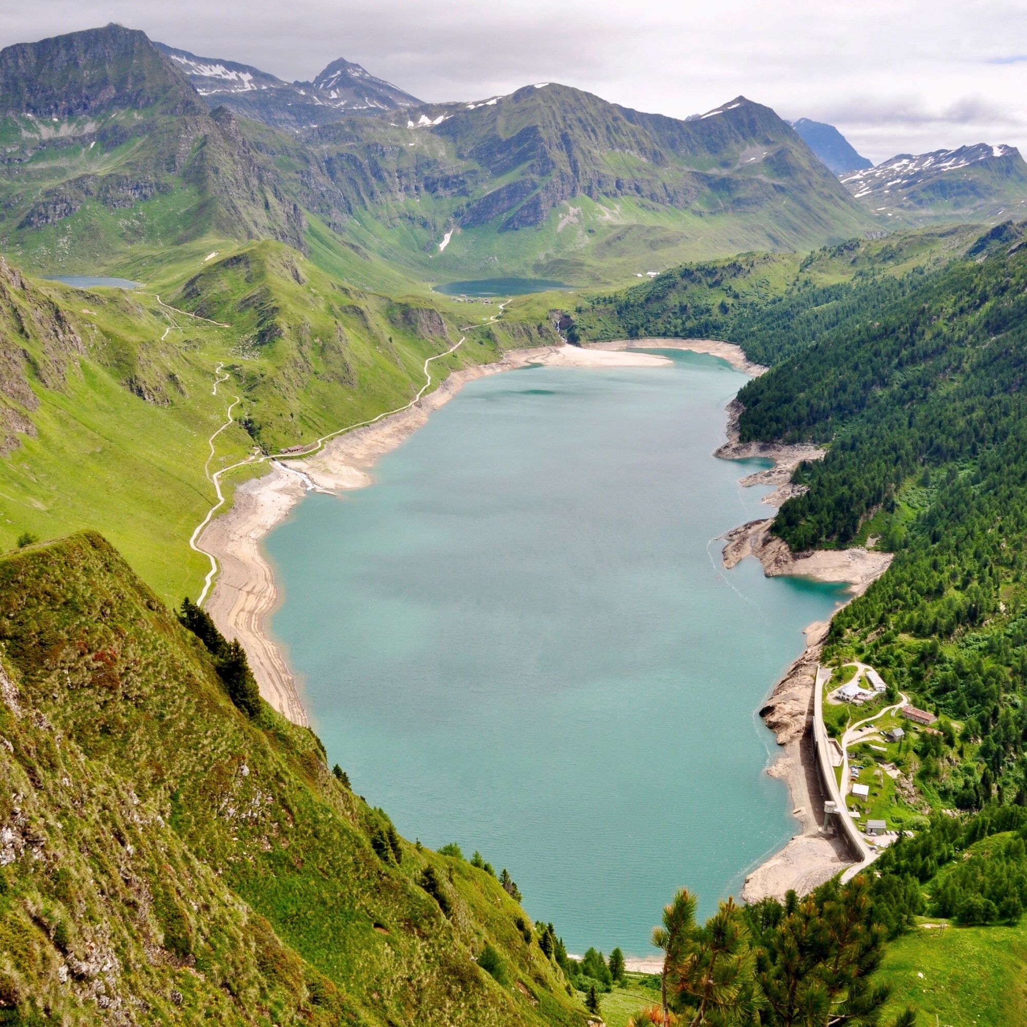
The most fascinating and at the same time practical way to reach the Val Piora lakes is to start from Piotta using the famous and characteristic red Ritom funicular, the starting and finishing point of this unmissable circular path. Its maximum slope of 87.8% makes it one of the steepest in the world. Upon reaching the Piora station, you immediately immerse yourself in one of the most enchanting and pristine landscapes of Ticino, where you can admire the paradise of alpine lakes. Starting from the Piora station, you immediately climb a path that leads up to 2208 m at Pizzo Föisc. There, a well-deserved break awaits you at the Föisc refuge. Then you continue downhill and after passing the Föisc saddle, you arrive at Lake Ritom: the largest mountain reservoir in the Canton. Its waters are used to produce hydroelectric energy. Following the left shore of the lake, in the direction of travel, you advance to the turnoff for Lake Tom, which after a short uphill stretch, is reached at 2022 m. You continue towards Lake Cadagno and cross the Alpe di Piora: the largest alpine pasture in Ticino, as well as a landscape protection area. So why not take advantage, a short distance away, of a break at the renovated Cadagno Hut where you can enjoy a wide selection of local products? After the well-deserved rest, you return towards Piora using the left shore path; at the fork to Fontanella descend towards Lake Ritom and continue along the educational path to the dam.
Tak
Tak
Hiking boots
Cap
Water bottle
Sunglasses
Sunscreen
Hiking map
Camera
Food
Montagnepulite: This project was created to promote the effective and sustainable management of alpine huts in the Ticino territory, particularly waste management. Responsible waste management in the mountains is a matter of common sense. We can all contribute: www.montagnepulite.ch
To enjoy the route, we recommend purchasing the official maps from the Federal Office of Topography Swisstopo. Furthermore, the site map.geo.admin.ch offers constantly updated data.
Popularne wycieczki w okolicy
- 5,0
Rheinquelle - Lai da Tuma über den Pazzolastock
średniWędrówka 10,3 km Rheinquelle - Lai da Tuma
średniWędrówka 5,67 km- 4,7
Fusio-Lake Mognola-Fusio
średniWędrówka 8,94 km - 4,5
Lakes Orsino, Orsirora and Valletta Route
Wędrówka 12,8 km - 3,8
Piz Cavradi
średniWędrówka 6,48 km - 1,0
Lutersee
średniWędrówka 6,11 km - 5,0
Passo delle Colombe - Passo del Sole
Wędrówka 12,4 km Lago del Naret-Sasso Nero-Lago del Naret
średniWędrówka 8,55 km- 4,7
Source of the Brenno
światłoWędrówka 6 km Lai Blau
Wędrówka 8 km
Wędrówki i tropienie


Nie przegap ofert i inspiracji na następne wakacje
Twój adres e-mail została dodana do listy mailingowej.