
The Strada Alta, Stage 3: Anzonico–Biasca
Wędrówka
4,5
Pobierz tę trasę na swój telefon komórkowy
The Strada Alta, Stage 3: Anzonico–Biasca
Wędrówka
17,27
km
Zeskanuj kod QR i rozpocznij nawigację w aplikacji bergfex.


Wędrówki i tropienie


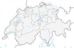


The Strada Alta, Stage 3: Anzonico–Biasca
Wędrówka
4,5
Odległość
17,3
km
Czas trwania
05:15
h
Ascent
246
hm
Poziom morza
292 -
1 145
m

Nawiguj po trasie w aplikacji
Zainstaluj aplikację za darmo i śledź trasę dzięki nawigacji GPS i funkcji śledzenia.
Skorzystaj już teraz z funkcji „ bergfex ” w aplikacji
Zeskanuj kod QR za pomocą aparatu
Po zainstalowaniu aplikacji treść otworzy się od razu. Jeśli jeszcze nie masz tej aplikacji, zostaniesz przekierowany do strony, z której możesz ją bezpłatnie pobrać.
Ścieżka do pobrania
The Strada Alta, Stage 3: Anzonico–Biasca
Wędrówka
17,27
km
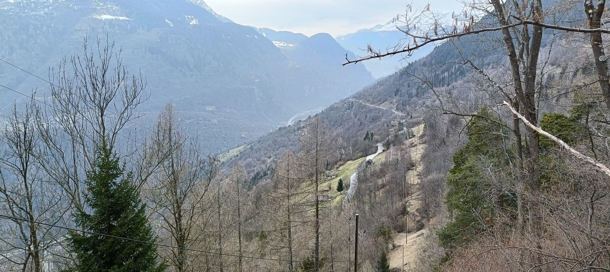
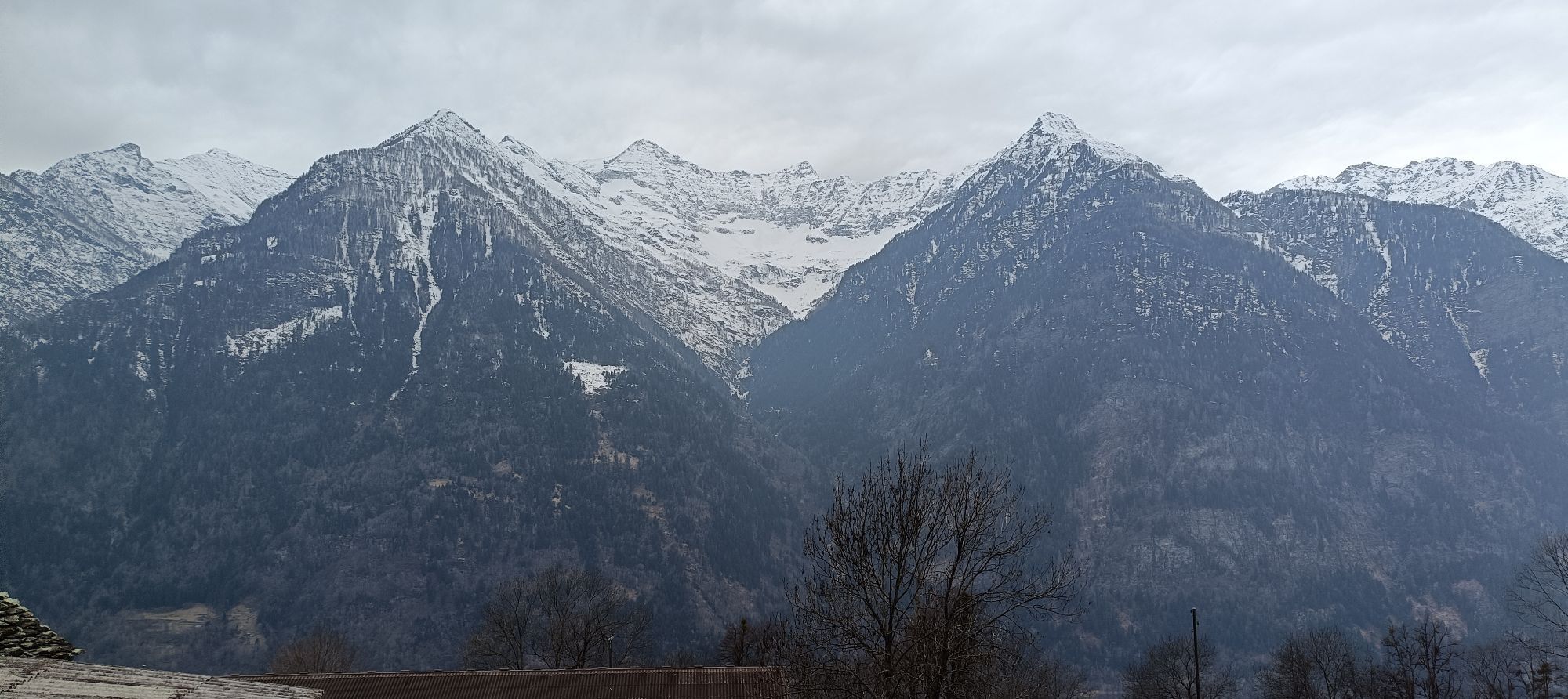
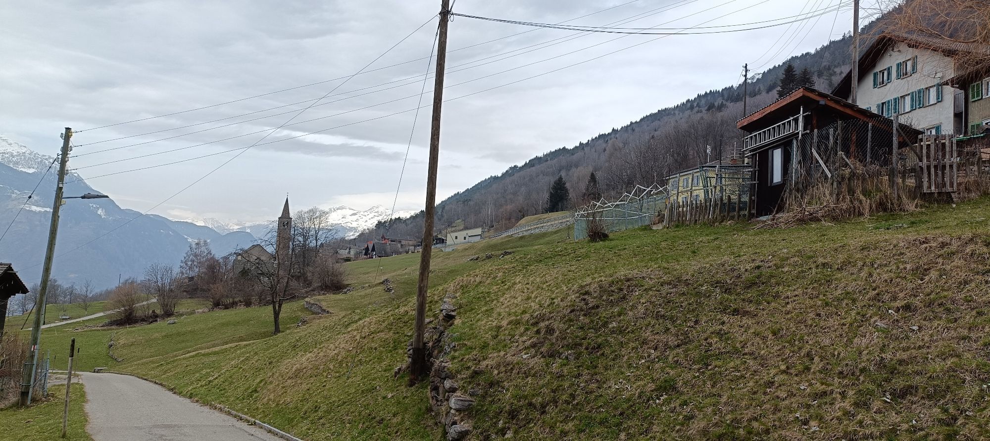
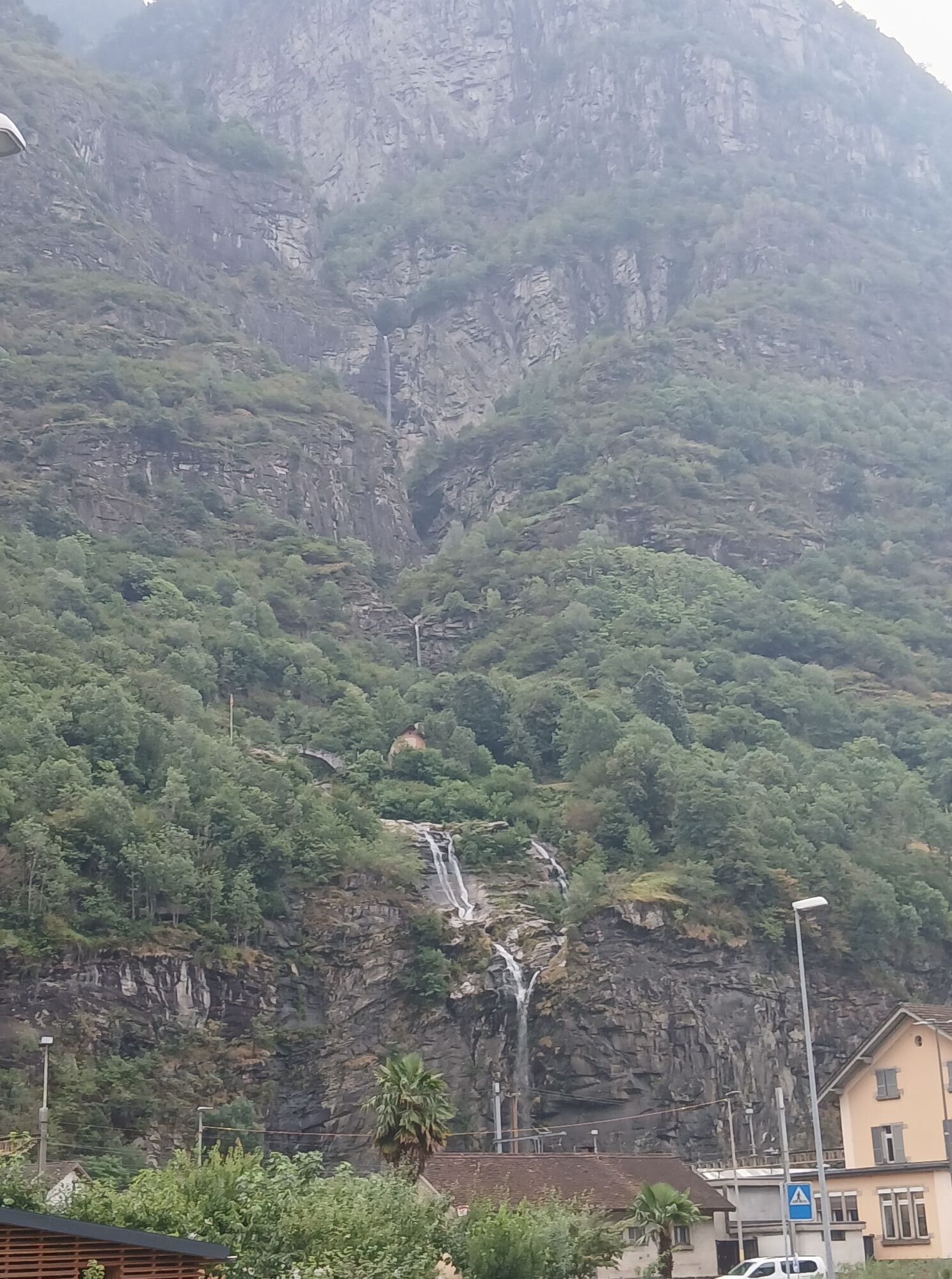
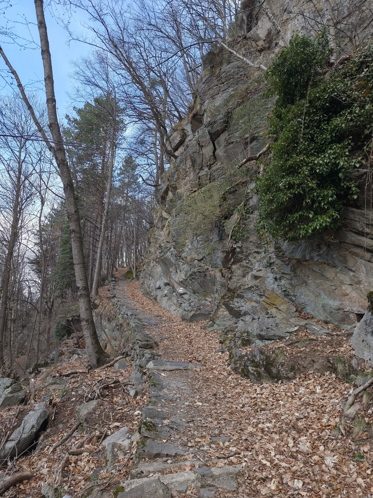
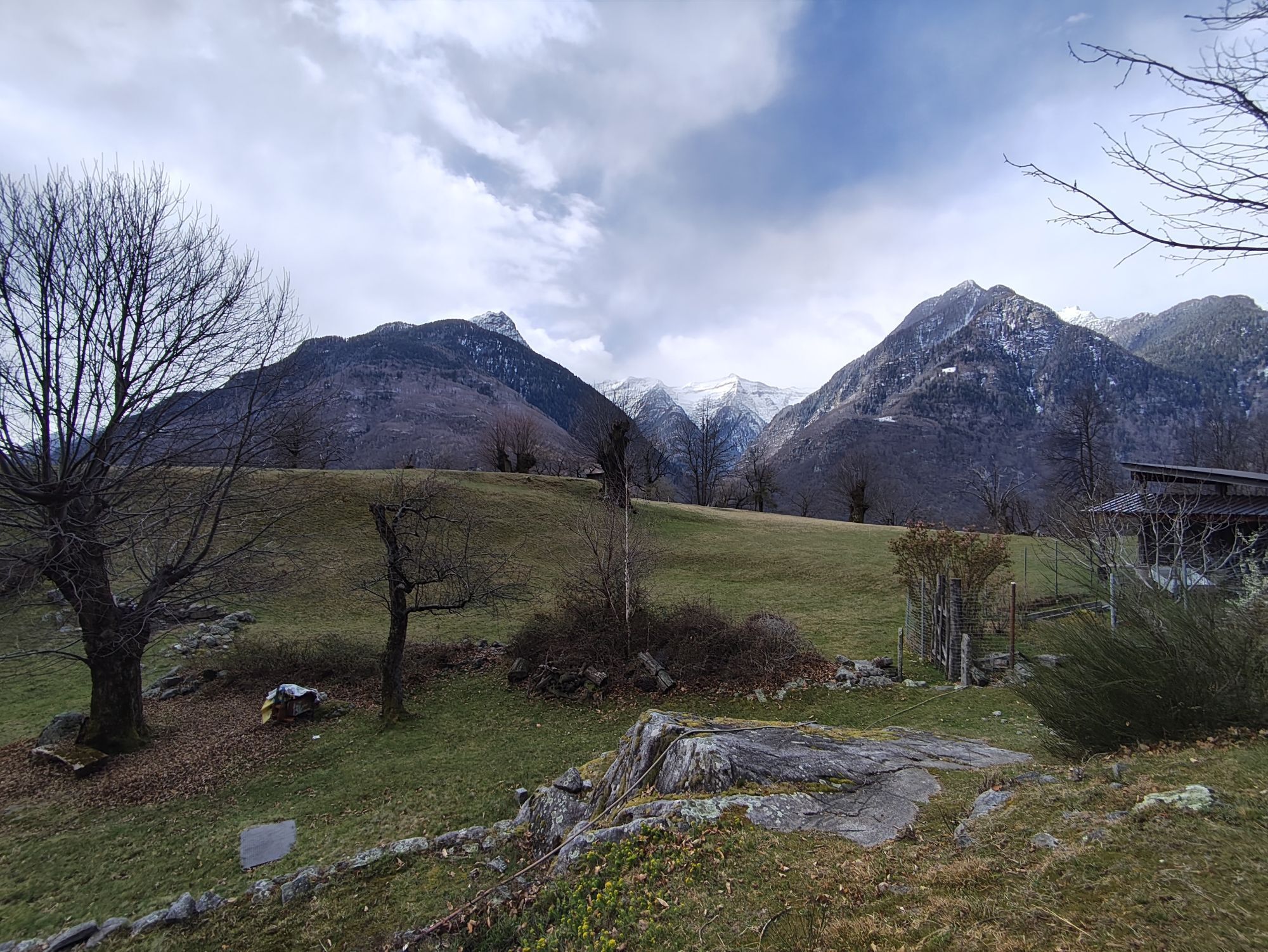
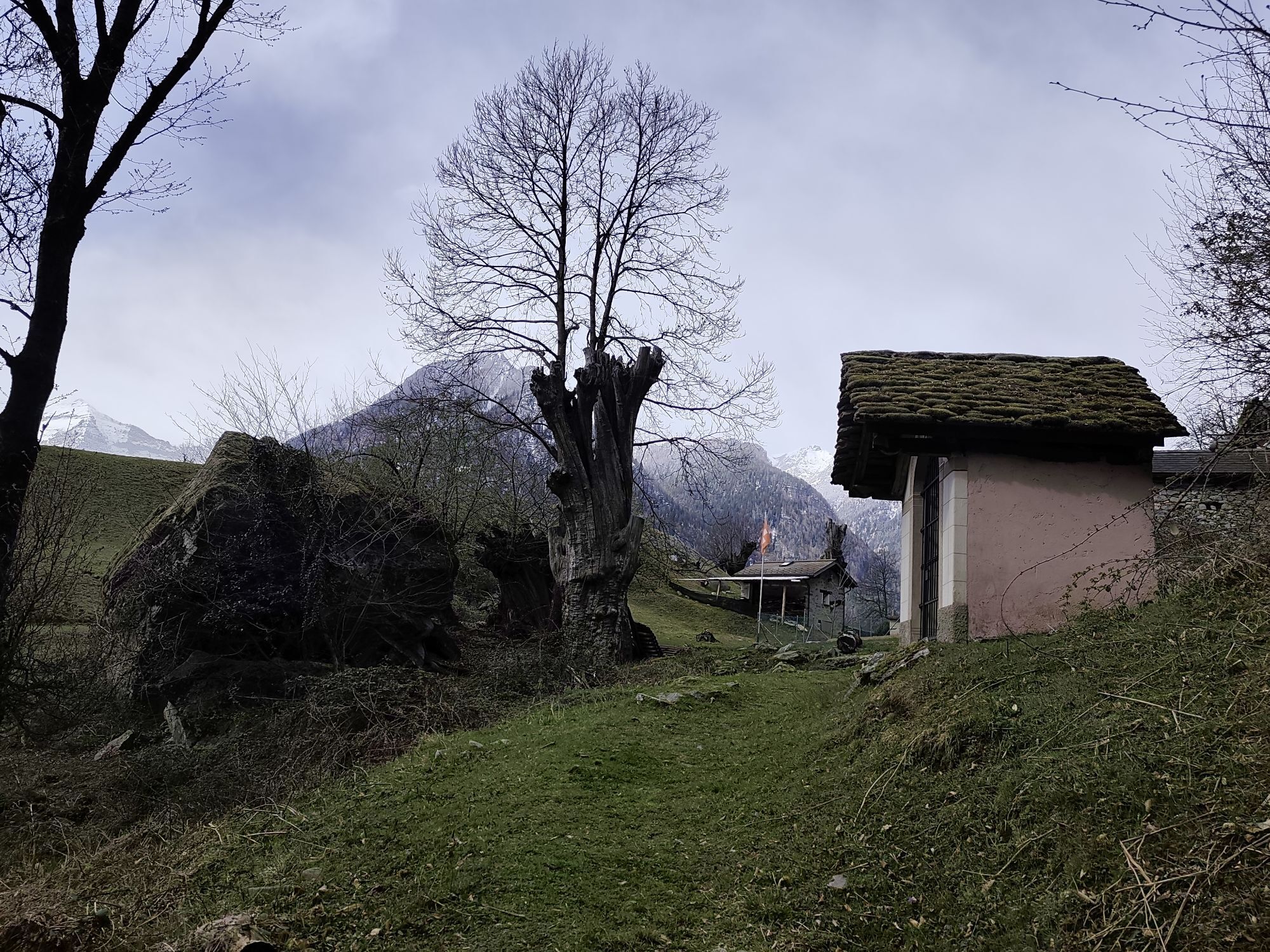
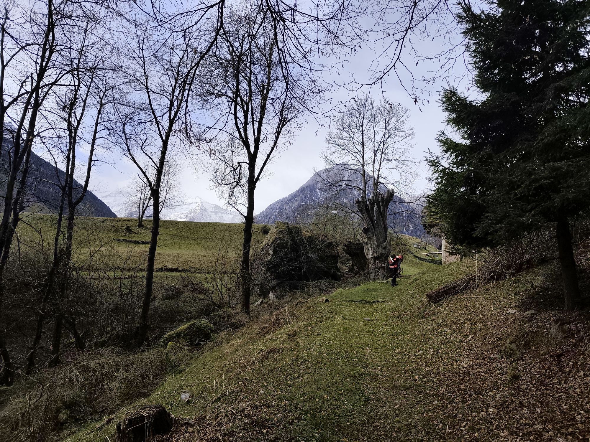
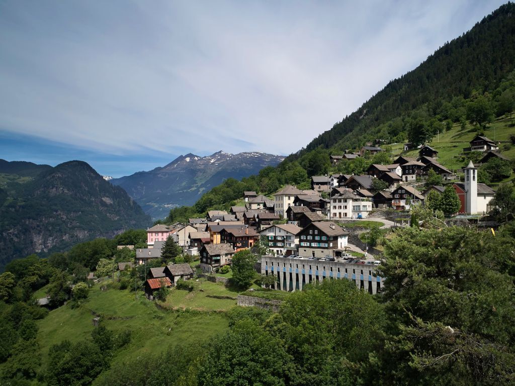
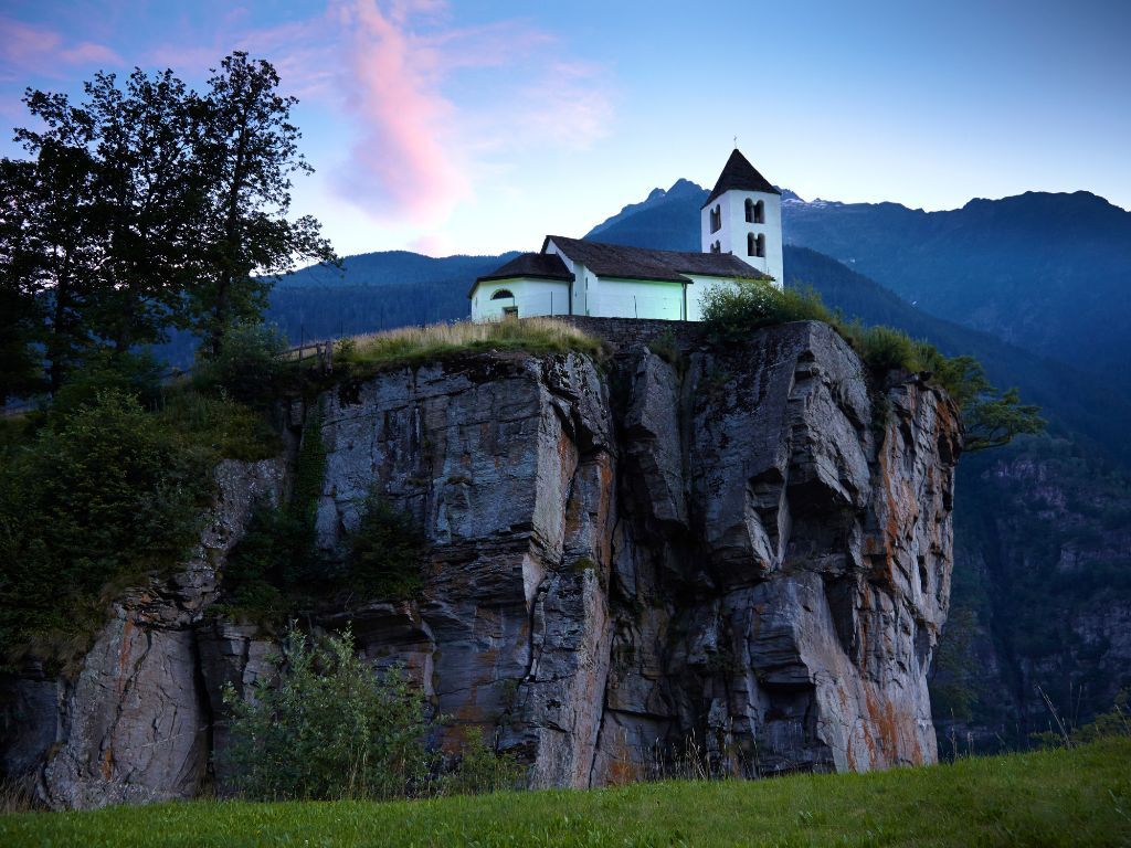
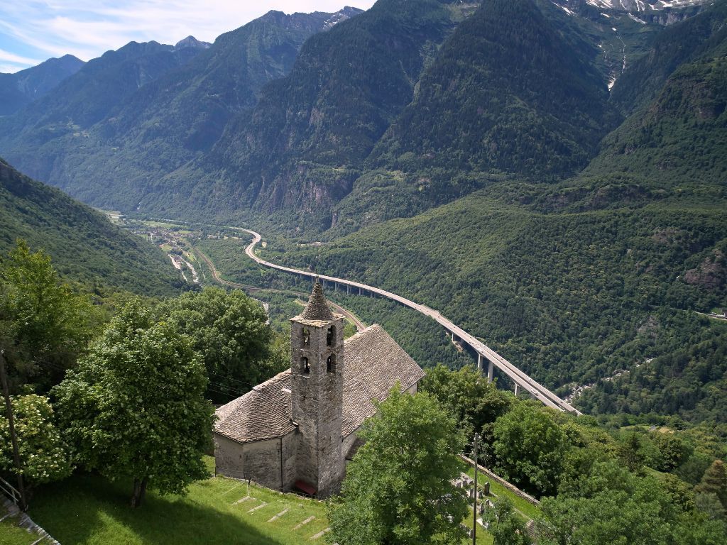
This particularly scenic stretch takes us—after passing through the hamlet of Segno with its many barns—to the medieval church of Sant’Ambrogio, characterized by a low bell tower.
Continuing downhill through...
Opis
This particularly scenic stretch takes us—after passing through the hamlet of Segno with its many barns—to the medieval church of Sant’Ambrogio, characterized by a low bell tower.
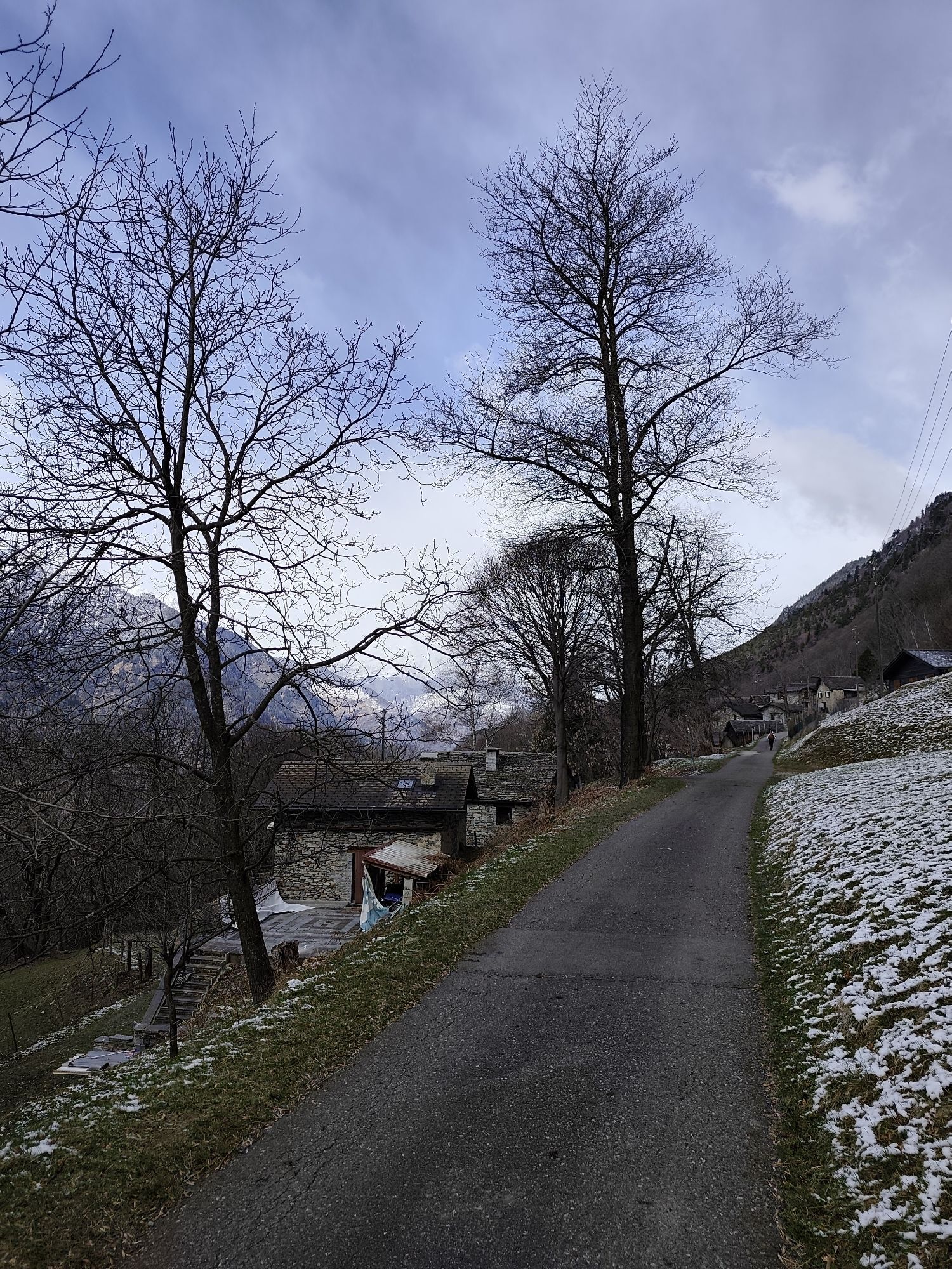
Continuing downhill through green expanses, you reach the village of Cavagnago, and near the parish church, the trail rejoins the road to Sobrio.
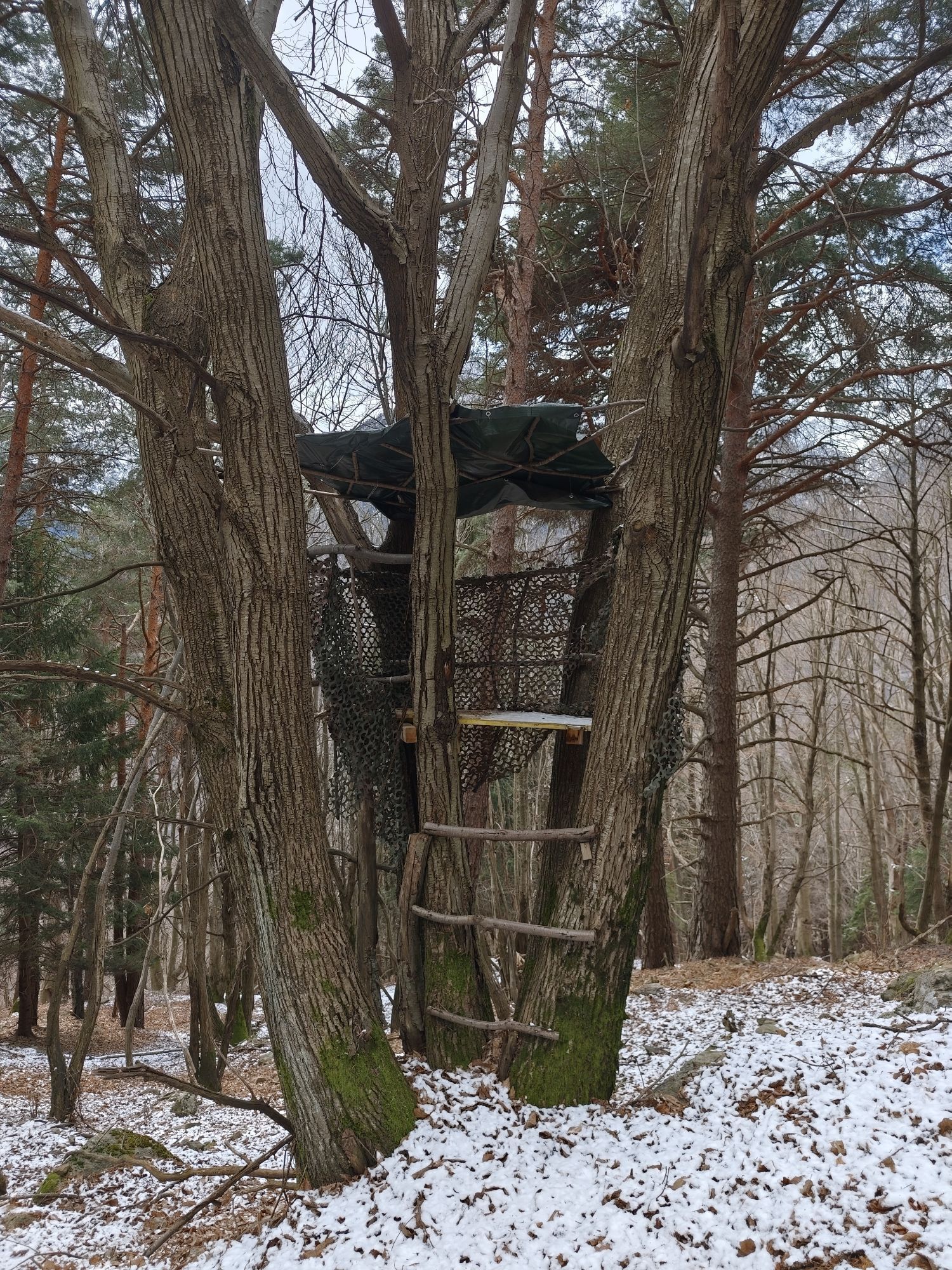
The route continues first across steep slopes, then climbs through a chestnut forest, and finally winds through the pastures just below the hamlet of Ronzano. From here, you can see the top of the bell tower of the Church of San Lorenzo in Sobrio, which, together with the parish house and the cemetery, forms a small settlement.
Sobrio, a small and secluded village, is often chosen as an additional stop on the Strada Alta.
The hike continues to a spot called Valecc, where you can enjoy a sweeping view, and then crosses the imposing Vallone Gorge along slopes covered with broom above the Dragone stream.
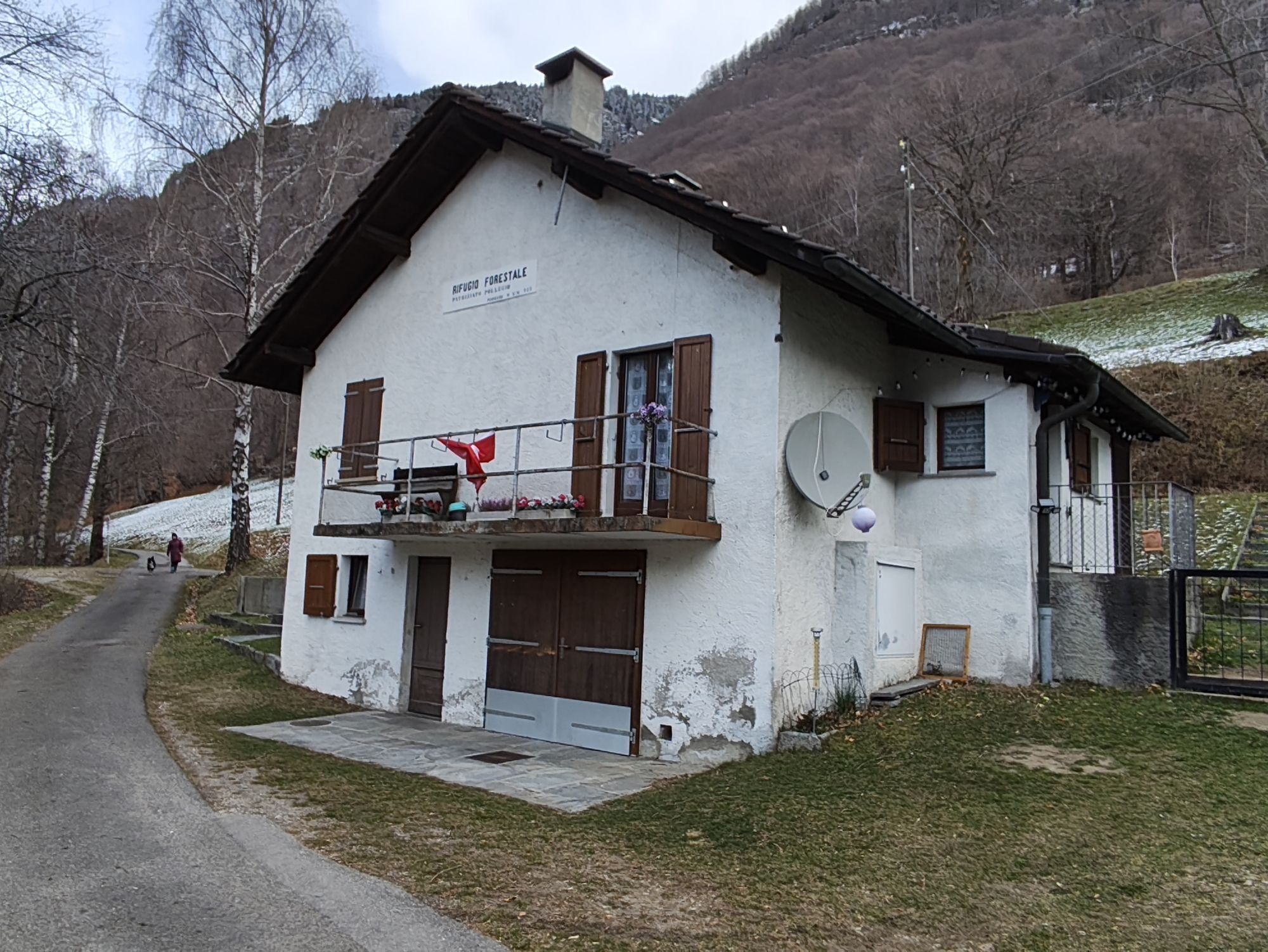
The final section winds along a trail overlooking the mountains of Bodio and Pollegio; after the idyllic Mount Diganengo, near the forest ranger station, the descent to the valley floor begins.
You first enter a chestnut forest and cross Mount Corecco before finally reaching Pollegio along a narrow dirt road. Following a secondary paved road, you reach the hamlet of Pasquerio and, after crossing the beautiful stone bridge over the Brenno River, arrive at the area known as “Ponte.”
From here, passing through the village and the central square of Biasca, you’ll reach the train station.
Discover the complete Strada Alta Leventina itinerary
Continuing downhill through green expanses, you reach the village of Cavagnago, and near the parish church, the trail rejoins the road to Sobrio.
The route continues first across steep slopes, then climbs through a chestnut forest, and finally winds through the pastures just below the hamlet of Ronzano. From here, you can see the top of the bell tower of the Church of San Lorenzo in Sobrio, which, together with the parish house and the cemetery, forms a small settlement.
Sobrio, a small and secluded village, is often chosen as an additional stop on the Strada Alta.
The hike continues to a spot called Valecc, where you can enjoy a sweeping view, and then crosses the imposing Vallone Gorge along slopes covered with broom above the Dragone stream.
The final section winds along a trail overlooking the mountains of Bodio and Pollegio; after the idyllic Mount Diganengo, near the forest ranger station, the descent to the valley floor begins.
You first enter a chestnut forest and cross Mount Corecco before finally reaching Pollegio along a narrow dirt road. Following a secondary paved road, you reach the hamlet of Pasquerio and, after crossing the beautiful stone bridge over the Brenno River, arrive at the area known as “Ponte.”
From here, passing through the village and the central square of Biasca, you’ll reach the train station.
Discover the complete Strada Alta Leventina itinerary
Trasa
Anzonico
(972 m)
Rozliczenie
0,0 km
Cavagnago
(1 020 m)
Rozliczenie
3,0 km
San Lorenzo
(1 098 m)
Miejsce kultu
5,2 km
Sobrio
(1 117 m)
Wioska
5,5 km
Diganengo
(969 m)
Rozliczenie
9,7 km
Biasca
(301 m)
Wioska
16,3 km
Nazionale
(292 m)
Restauracja
17,2 km
Trasa
The Strada Alta, Stage 3: Anzonico–Biasca
Wędrówka
17,27
km
Anzonico
(972 m)
Rozliczenie
0,0 km
Segno
(1 093 m)
Rozliczenie
2,0 km
La Faura
(1 023 m)
Restauracja
3,0 km
Cavagnago
(1 020 m)
Rozliczenie
3,0 km
Fòusc
(998 m)
Korytarz/teren
3,5 km
Ronzano
(1 110 m)
Rozliczenie
5,1 km
San Lorenzo
(1 098 m)
Miejsce kultu
5,2 km
Osteria Pineta
(1 126 m)
Restauracja
5,3 km
Osteria Ambrogini
(1 130 m)
Restauracja
5,5 km
Sobrio
(1 117 m)
Wioska
5,5 km
Bidrè
(1 036 m)
Rozliczenie
7,9 km
Ronco
(975 m)
Korytarz/teren
9,5 km
Diganengo
(969 m)
Rozliczenie
9,7 km
Corecco
(802 m)
Rozliczenie
11,2 km
Pollegio
(300 m)
Wioska
13,9 km
Del Ponte
(299 m)
Restauracja
15,5 km
Biasca
(301 m)
Wioska
16,3 km
Lucomagno
(292 m)
Restauracja
17,2 km
Nazionale
(292 m)
Restauracja
17,2 km
Biasca
(293 m)
Stacja kolejowa
17,2 km
Autor
Dostarczone przez Bellinzona e Valli Turismo
Wycieczkę The Strada Alta, Stage 3: Anzonico–Biasca zapewnia outdooractive.com.

Ostatnio śledzony
tydzień temu

Sprzęt
Hiking Boots
Beanie
Water bottle
Sunglasses
Sunscreen
Hiking map
Camera
Food
Dodatkowe informacje i wskazówki
Dodatkowe informacje
Montagnepulite: This project was created to promote the effective and sustainable management of alpine huts in the Ticino region, with a particular focus on waste management. Responsible waste management in the mountains is a matter of common sense. We can all do our part: www.montagnepulite.ch
Wyceny


Wszystkie kamery internetowe na mapie
Zainstaluj aplikację za darmo i porównaj obrazy na żywo z kilku miejsc, zanim wyruszysz w drogę.
Skorzystaj już teraz z funkcji „ bergfex ” w aplikacji
Zeskanuj kod QR za pomocą aparatu
Po zainstalowaniu aplikacji treść otworzy się od razu. Jeśli jeszcze nie masz tej aplikacji, zostaniesz przekierowany do strony, z której możesz ją bezpłatnie pobrać.


Popularne wycieczki w okolicy
-
3,8
Entlang der Verzasca von Sonogno via Brione nach Lavertezzo
światłoWędrówka 14,5 km -
4,5
Brione Verzasca-Sonogno
światłoWędrówka 8,28 km -
4,8
Tibet Suspension Bridge Route Riasc
światłoWędrówka 6,12 km -
Lago di Canée
Wędrówka 14,2 km -
4,5
Carassino Valley Via Alta
Wędrówka 14,0 km -
5,0
Sonogno-Corte-Sonogno
średniWędrówka 5,64 km -
Frasco-Efra Hut-Frasco
ciężkidługodystansowy szlak pieszy 17,6 km -
Alta Verzasca Bike (SwitzerlandMobility 399)
średniMountainbike 8,92 km -
Via Alta della Verzasca
ciężkiWędrówka 53,1 km -
4,5
Gerra Verzasca-Cazzai-Gerra Verzasca
średniWędrówka 12,5 km
Wędrówki i tropienie

Ponad 550.000 propozycji wycieczek, szczegółowe mapy i intuicyjny planer tras sprawiają, że aplikacja jest niezbędna dla wszystkich entuzjastów przyrody.

Nie przegap ofert i inspiracji na następne wakacje
Zapisz się do newslettera
Błąd
Wystąpił błąd. Spróbuj ponownie.
Dziękujemy za rejestrację
Twój adres e-mail została dodana do listy mailingowej.
Wycieczki po całej Europie
Austria
Szwajcaria
Niemcy
Włochy
Słowenię
Francja
Holandia
Belgia
Polska
Liechtenstein
Czechy
Słowacja
Hiszpania
Chorwacja
Bośnia i Hercegowina
Luksemburg
Andorra
Portugalia
Islandia
Wielka Brytania
Irlandia
Grecja
Albania
Macedonia Północna
Malta
Norwegia
Czarnogóra
Mołdawia
Kosowo
Węgry
San Marino
Rumunia
Estonia
Łotwa
Białoruś
Cypr
Litwa
Serbia
Bułgaria
Monako
Dania
Szwecja
Finlandia





