


Monte Bisbino Path
Zdjęcia naszych użytkowników

 © Daniele BeriniUtworzono dnia 22.11.2025
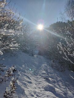 © Daniele BeriniUtworzono dnia 22.11.2025
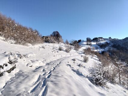 © Daniele BeriniUtworzono dnia 22.11.2025
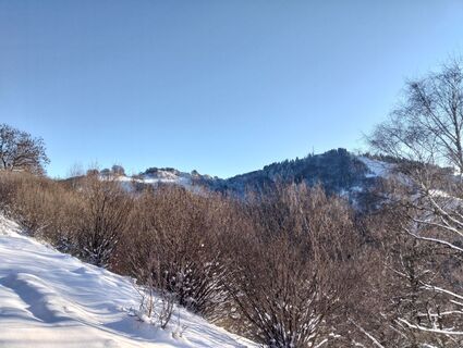 © Daniele BeriniUtworzono dnia 22.11.2025
 © Daniele BeriniUtworzono dnia 22.11.2025
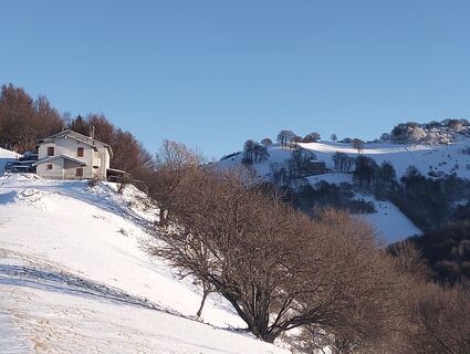 © Daniele BeriniUtworzono dnia 22.11.2025
 © Daniele BeriniUtworzono dnia 22.11.2025
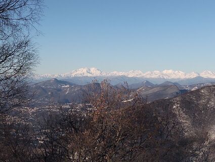 © Daniele BeriniUtworzono dnia 22.11.2025
 © Daniele BeriniUtworzono dnia 22.11.2025
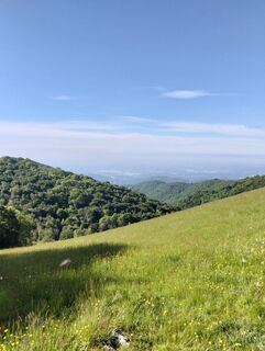 © Daniele BeriniUtworzono dnia 26.05.2025
 © Daniele BeriniUtworzono dnia 26.05.2025
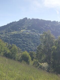 © Daniele BeriniUtworzono dnia 26.05.2025
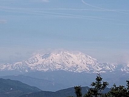 © Daniele BeriniUtworzono dnia 26.05.2025
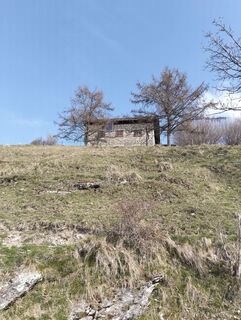 © Daniele BeriniUtworzono dnia 12.04.2025
 © Daniele BeriniUtworzono dnia 07.03.2026
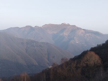 © Daniele BeriniUtworzono dnia 07.03.2026
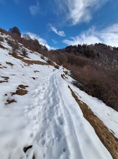
 © Marco PezzuoloUtworzono dnia 12.02.2026
 © Marco PezzuoloUtworzono dnia 12.02.2026
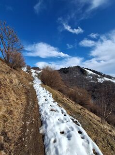 © Marco PezzuoloUtworzono dnia 12.02.2026
 © Marco PezzuoloUtworzono dnia 12.02.2026
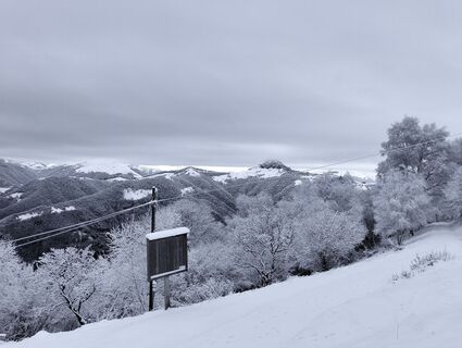 © Daniele BeriniUtworzono dnia 24.01.2026
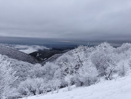 © Daniele BeriniUtworzono dnia 24.01.2026
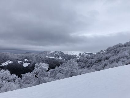 © Daniele BeriniUtworzono dnia 24.01.2026
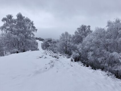 © Daniele BeriniUtworzono dnia 24.01.2026
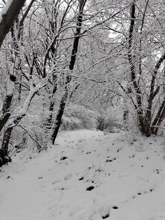 © Daniele BeriniUtworzono dnia 24.01.2026


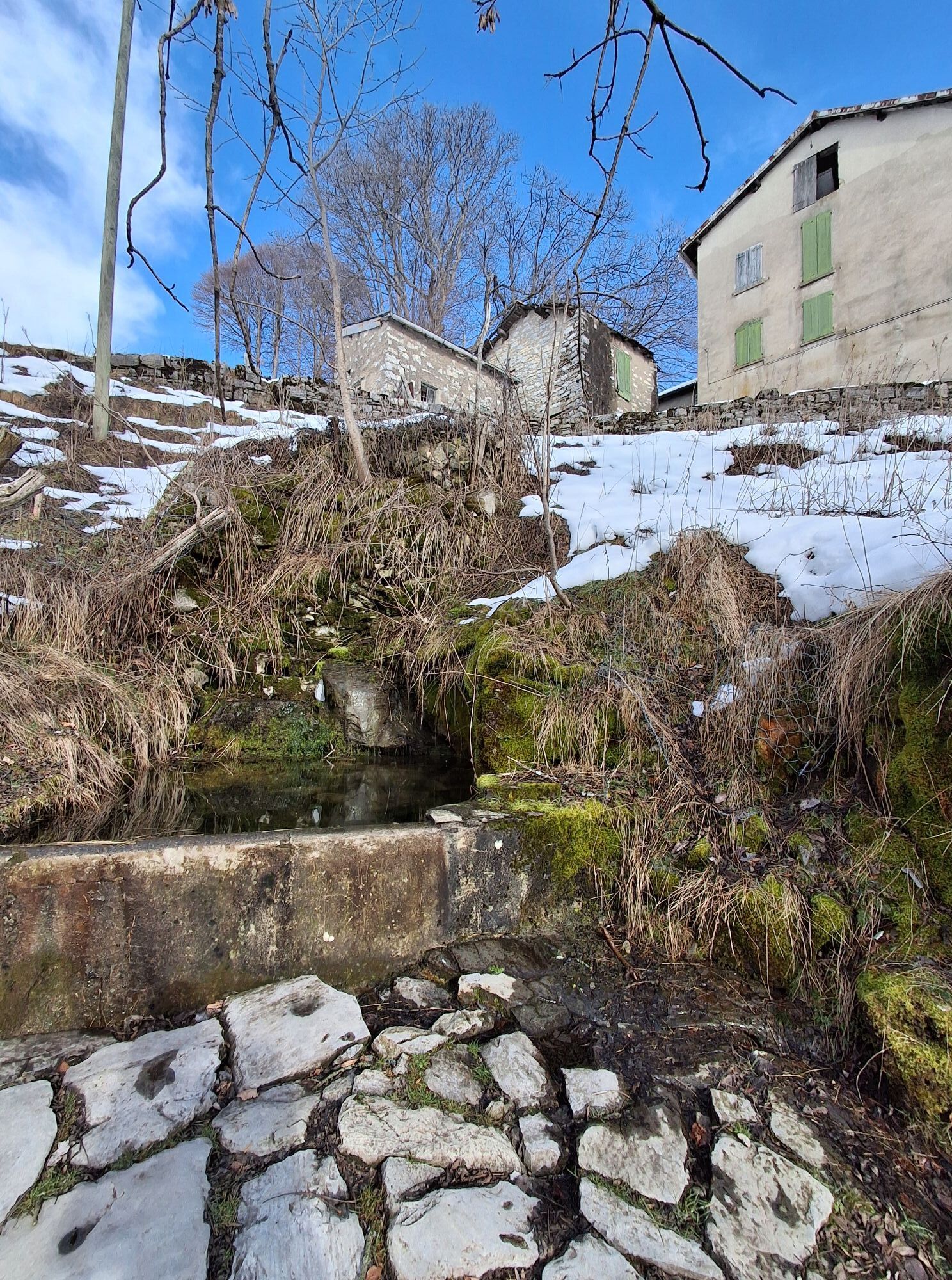

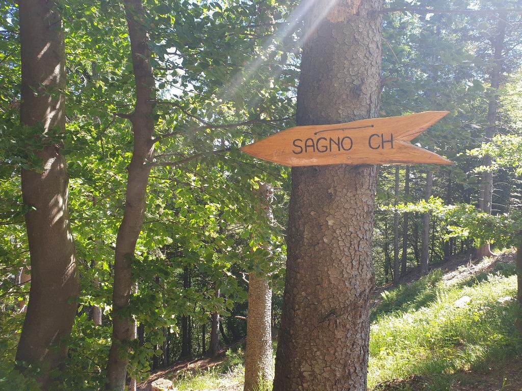
The route starts from Sagno (693 m) where, at the entrance to the village, there is a large public parking area and the Autopostale bus stop (stop Sagno Paese). Starting from the center, follow the small...
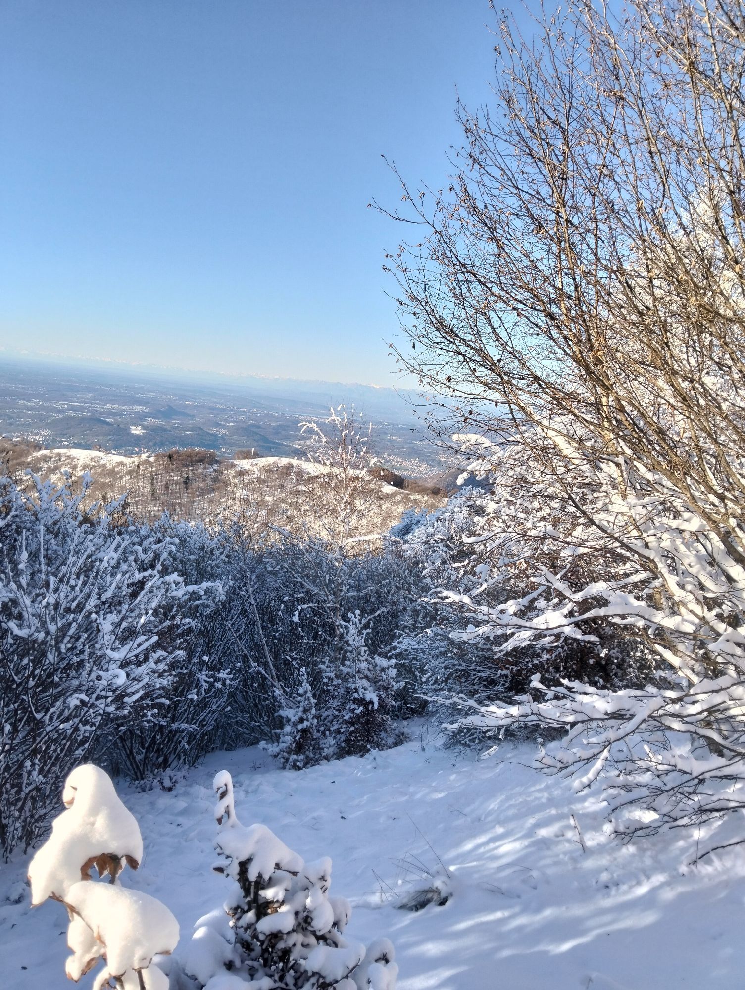
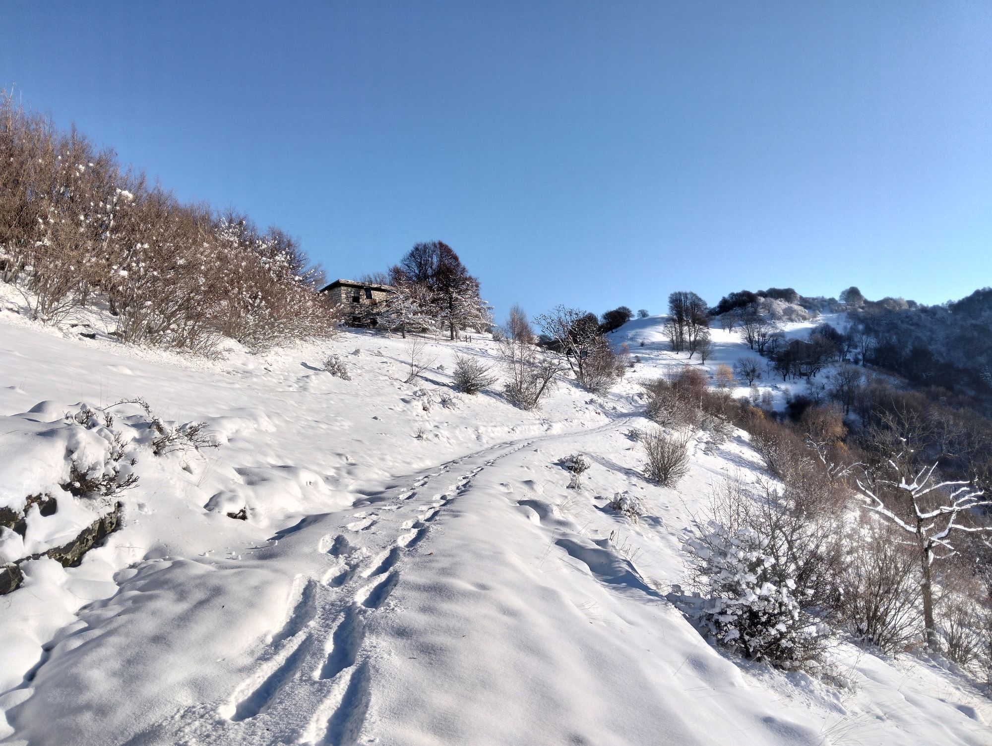
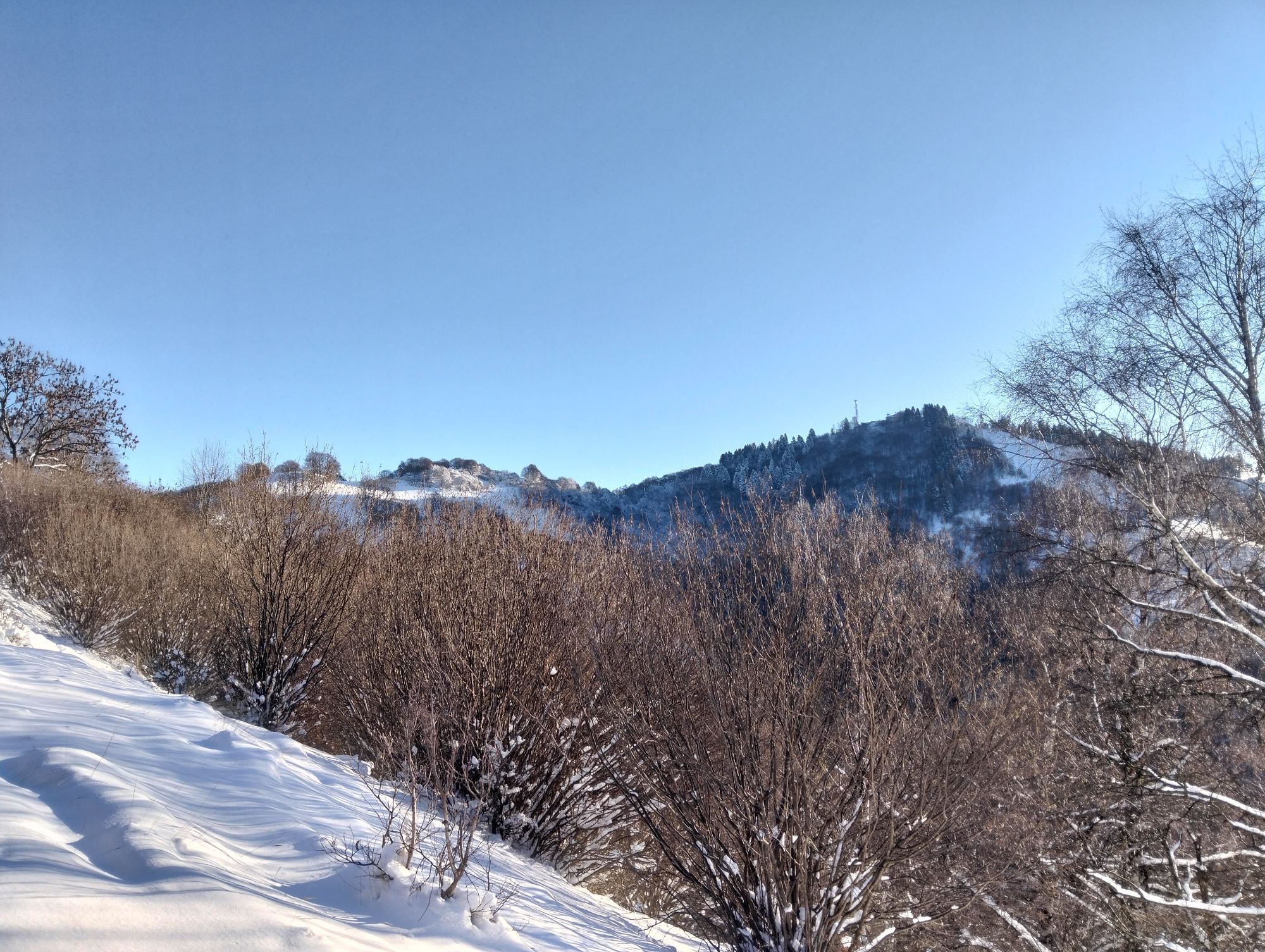
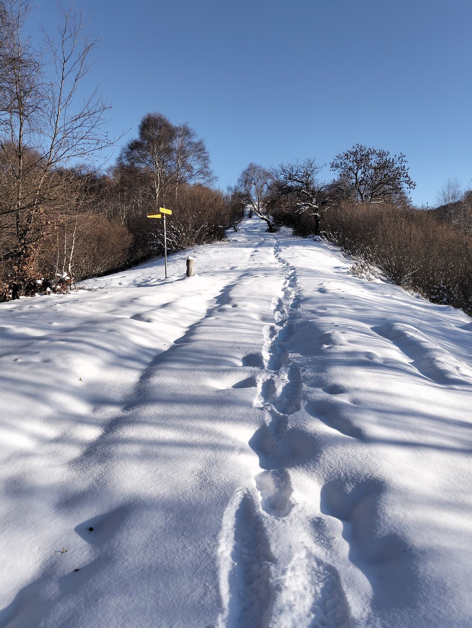
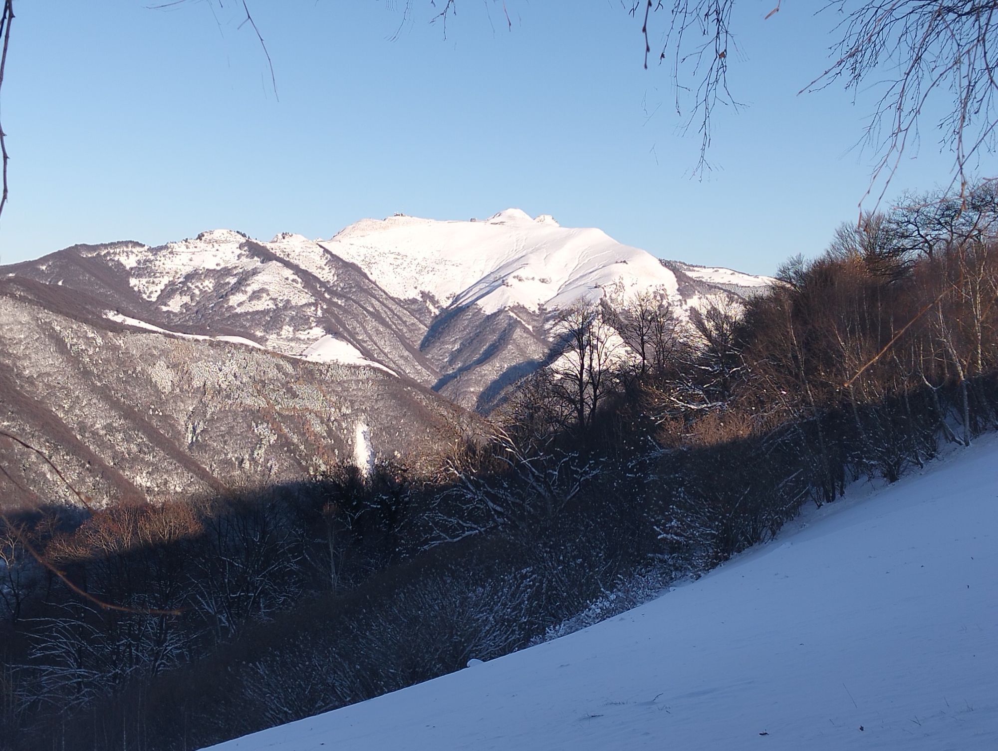
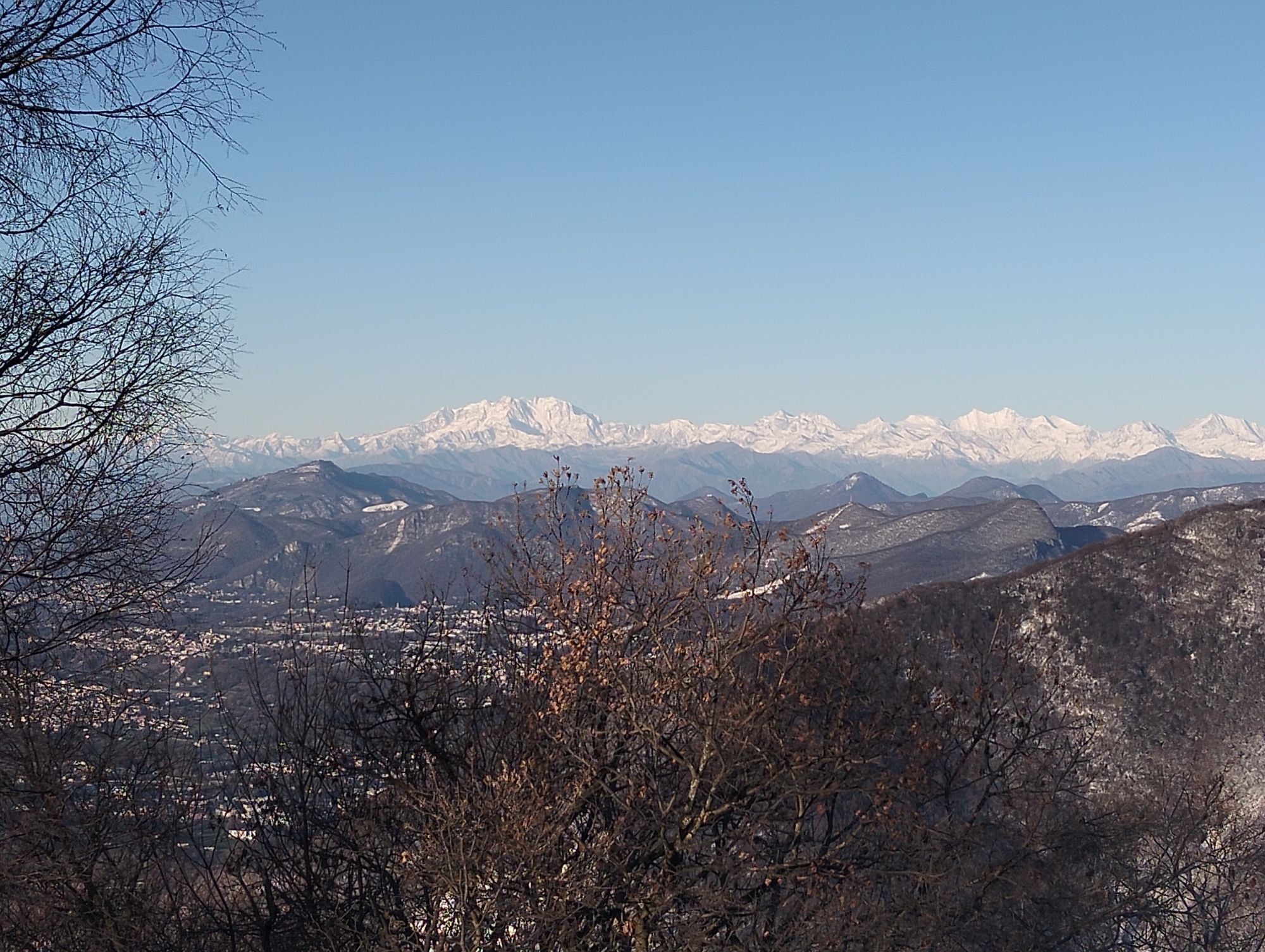
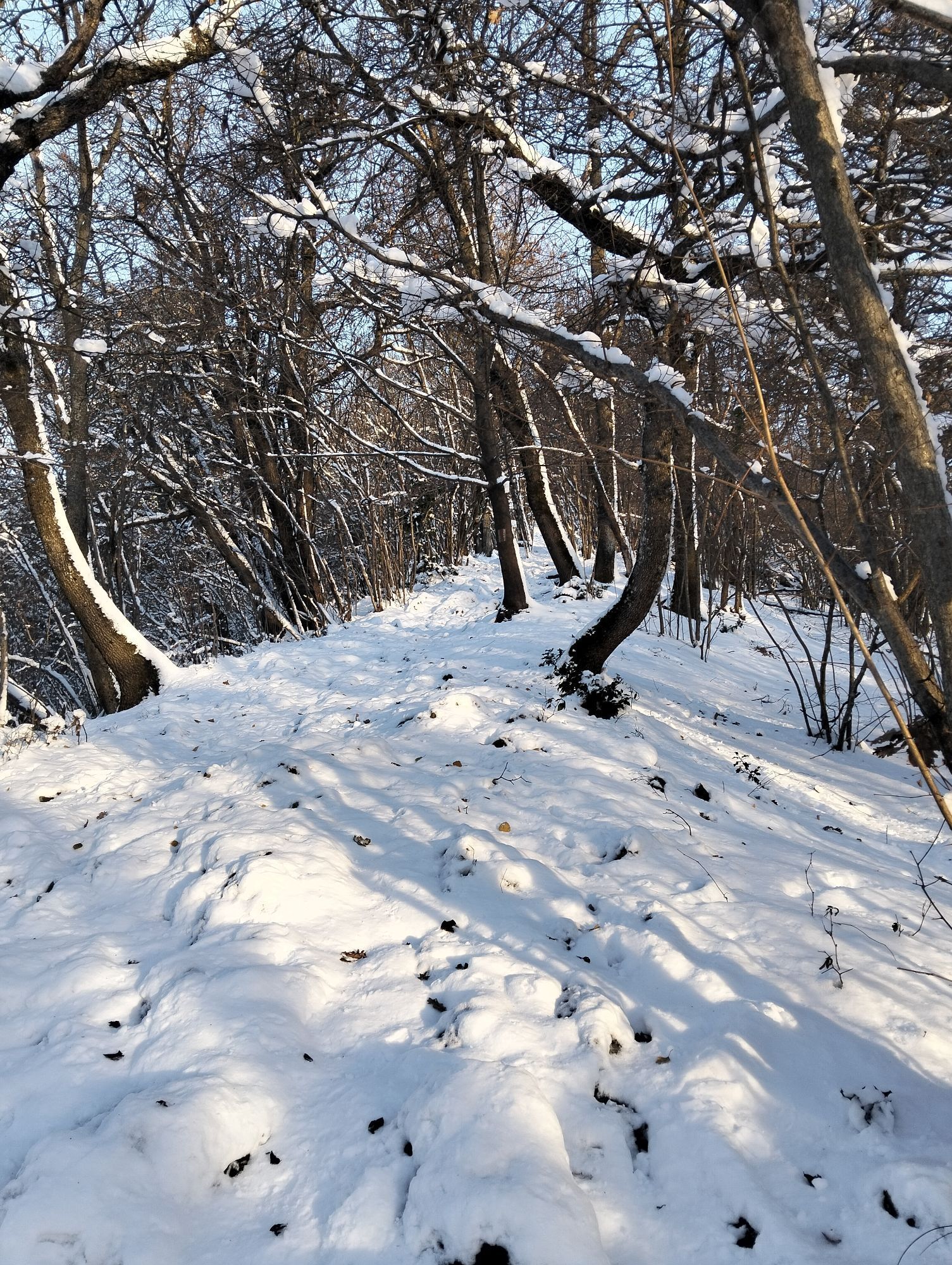
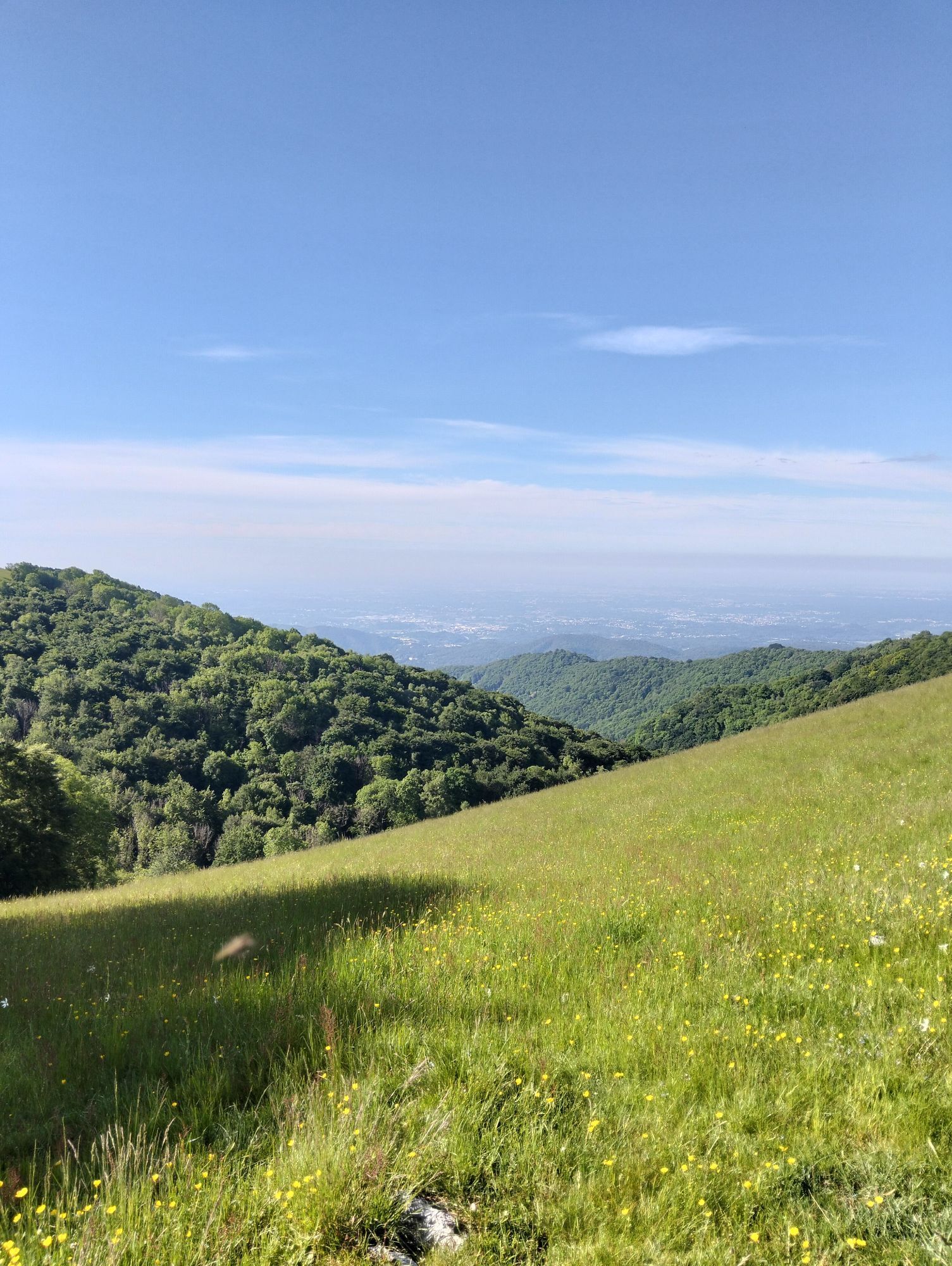
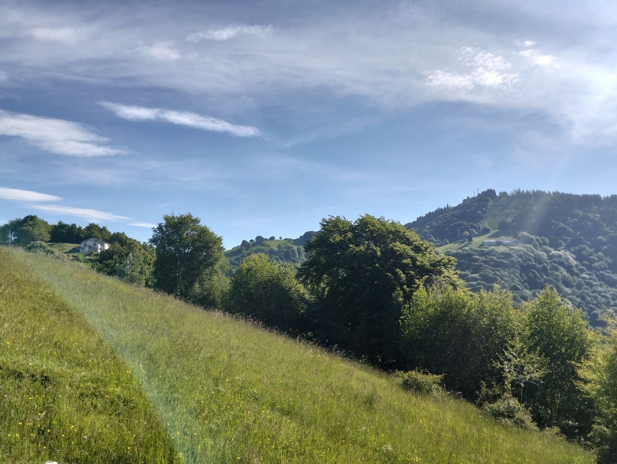
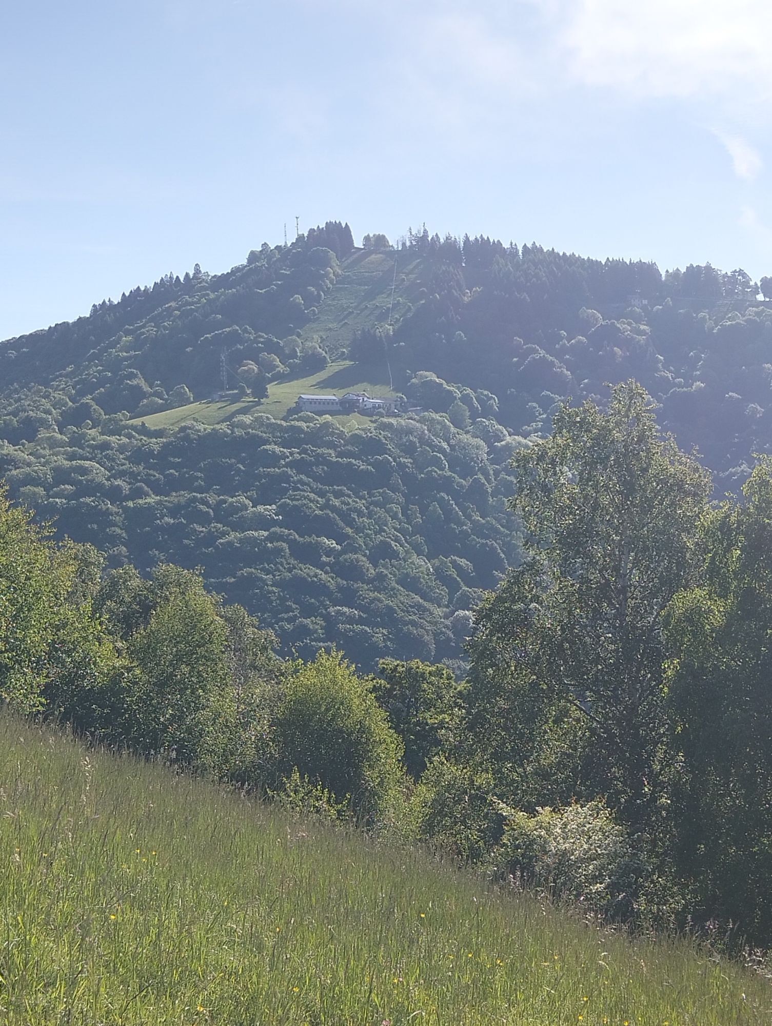
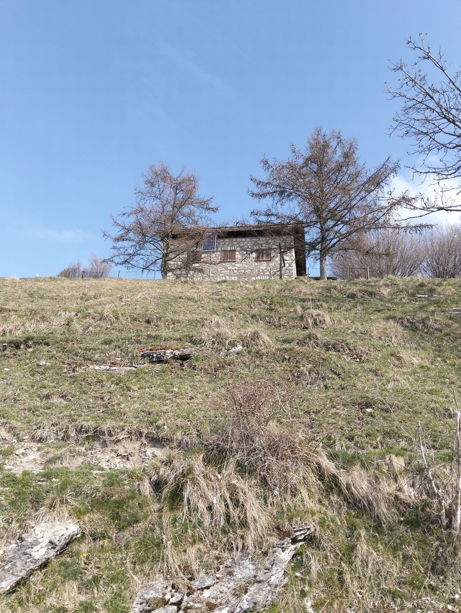
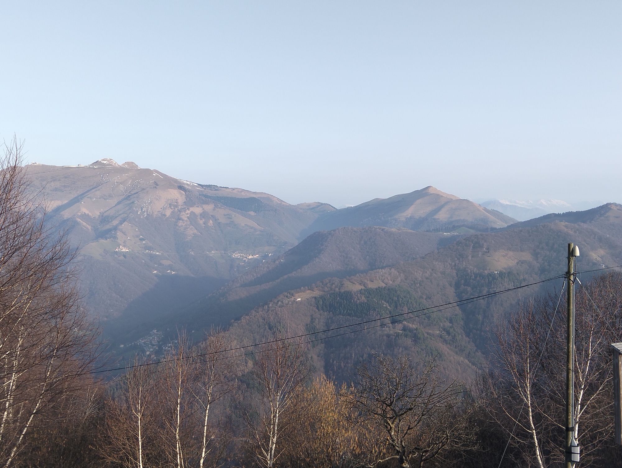
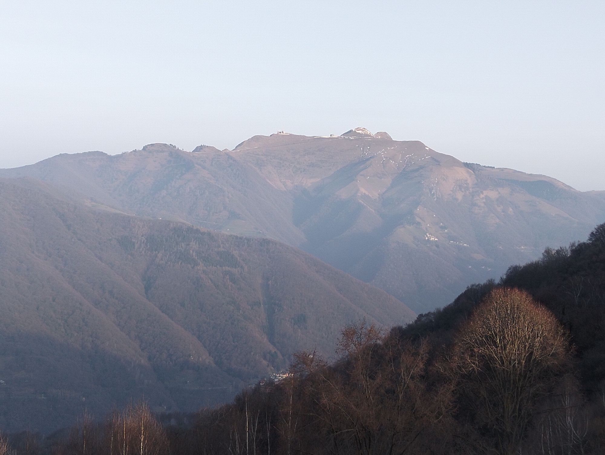
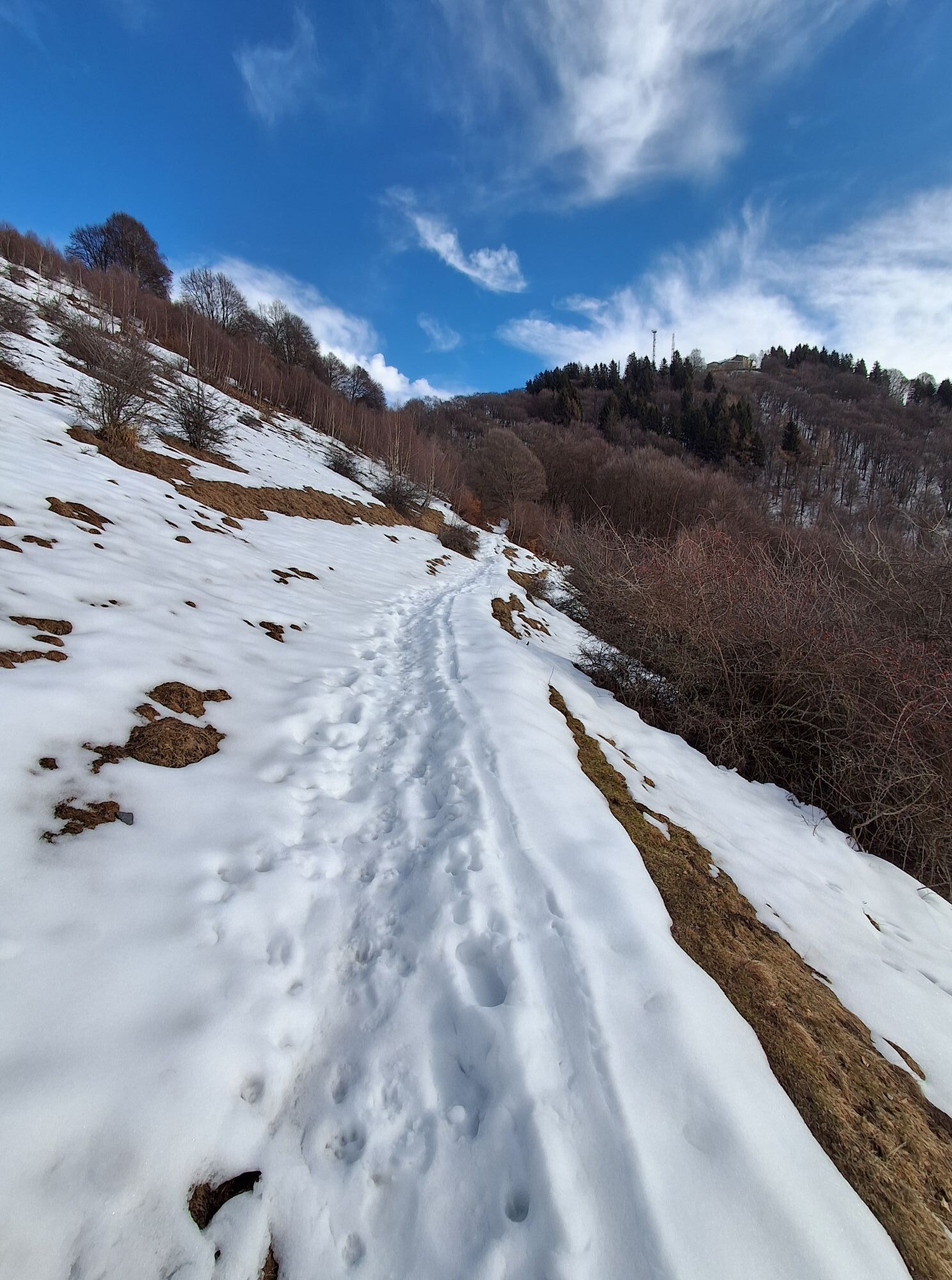
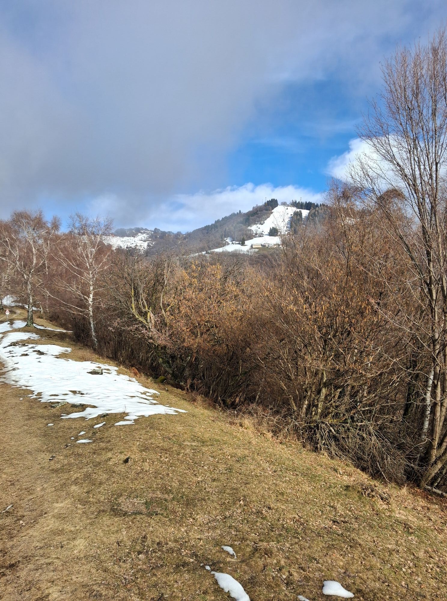
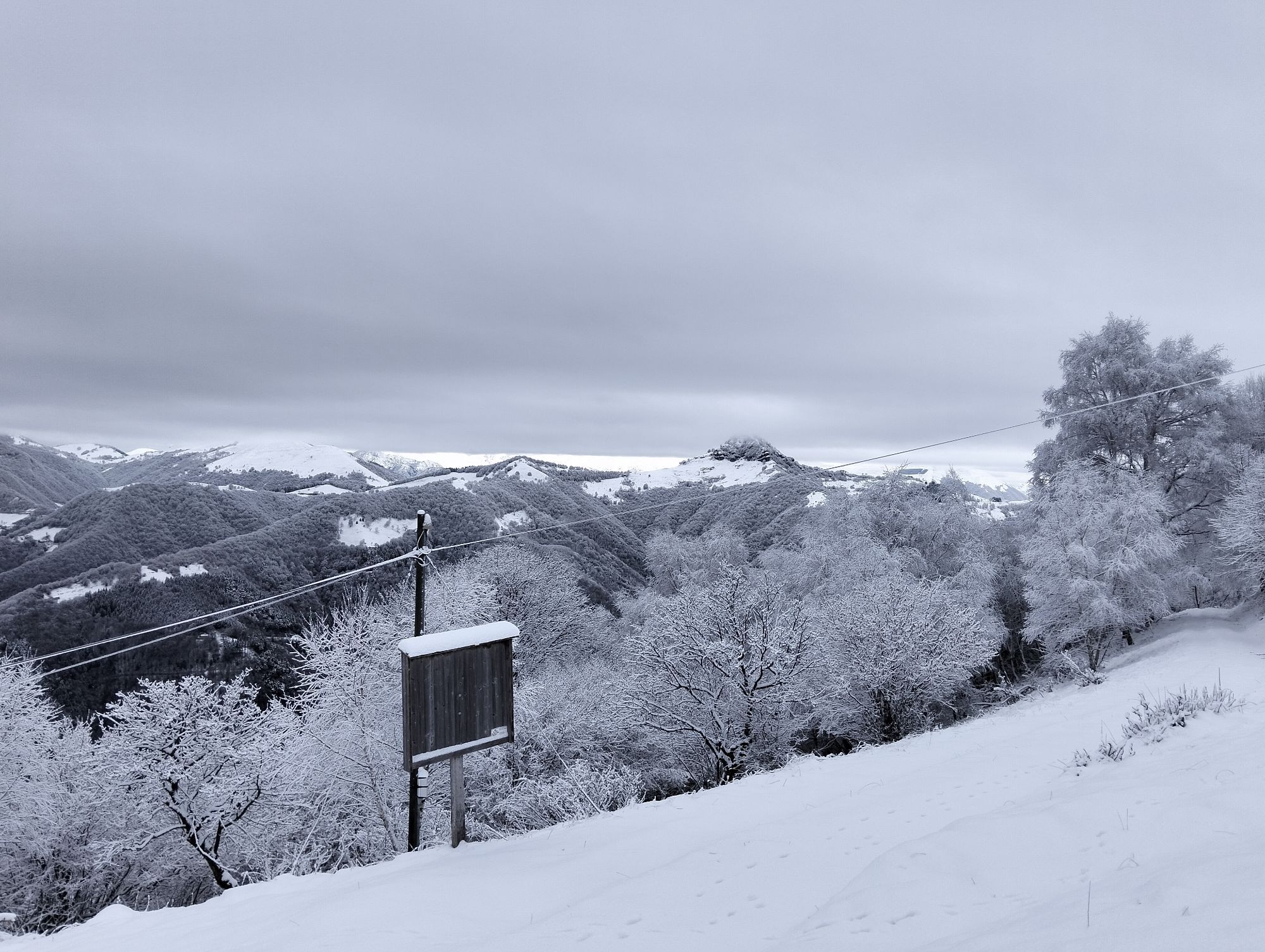
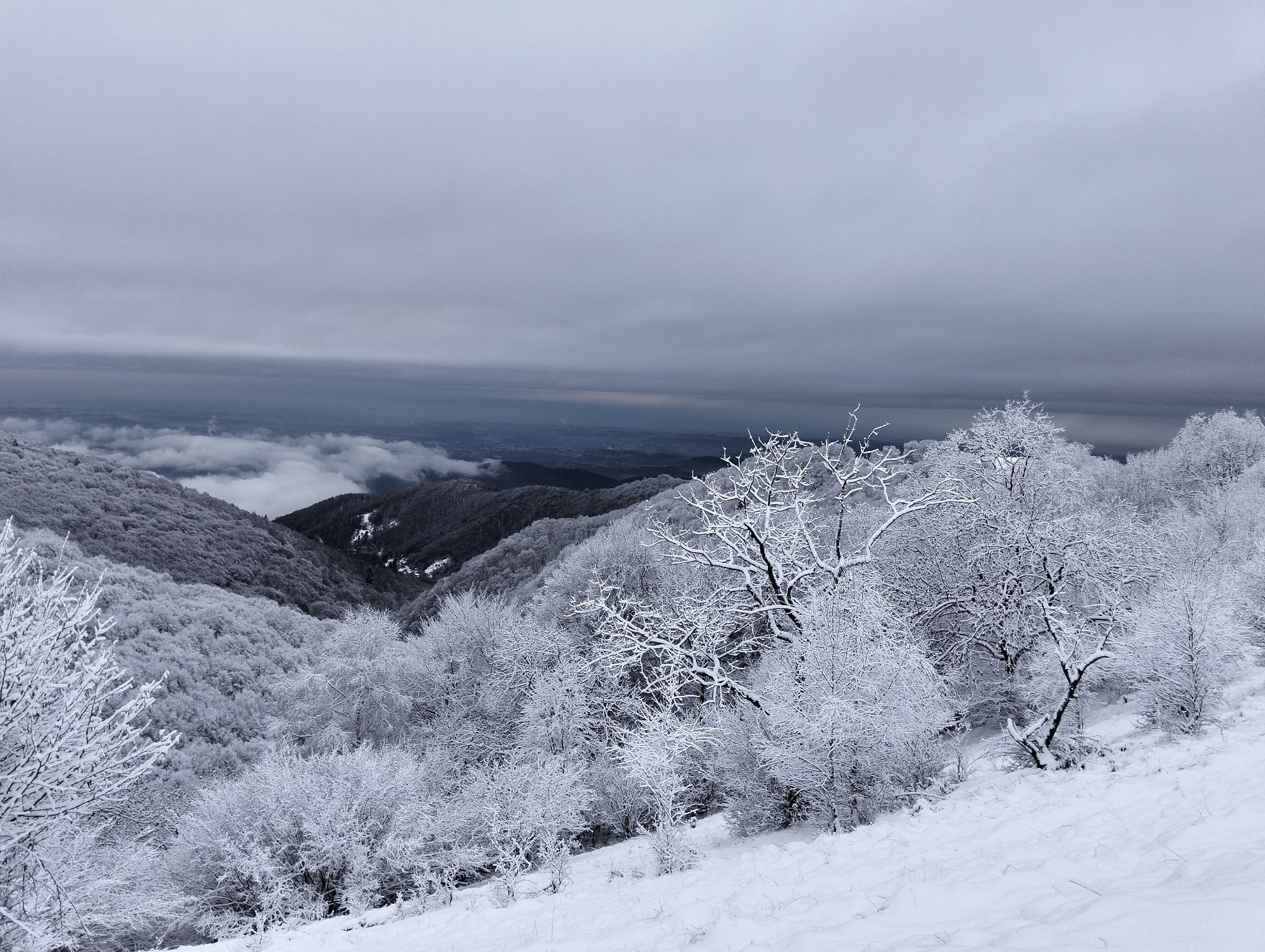
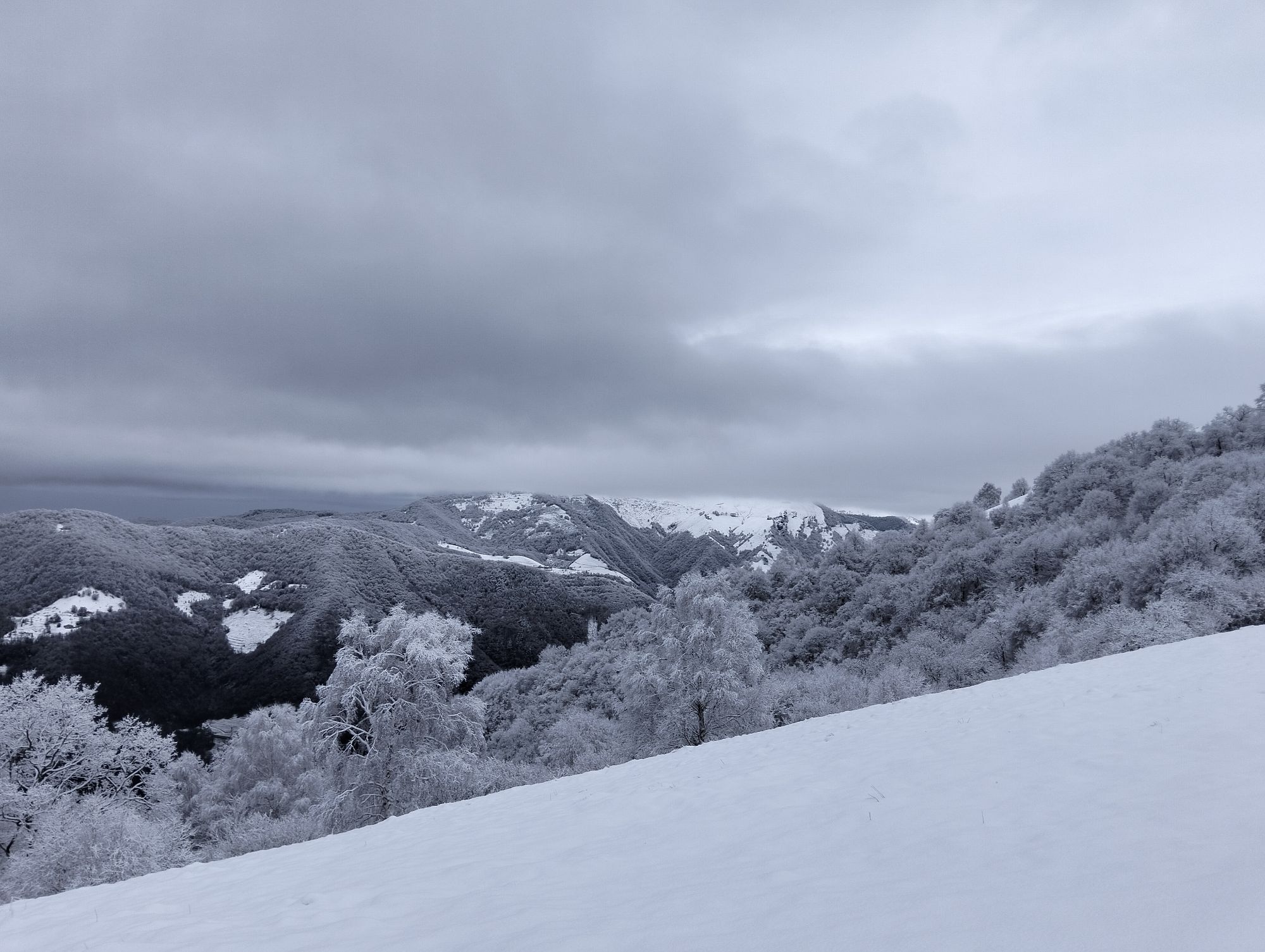
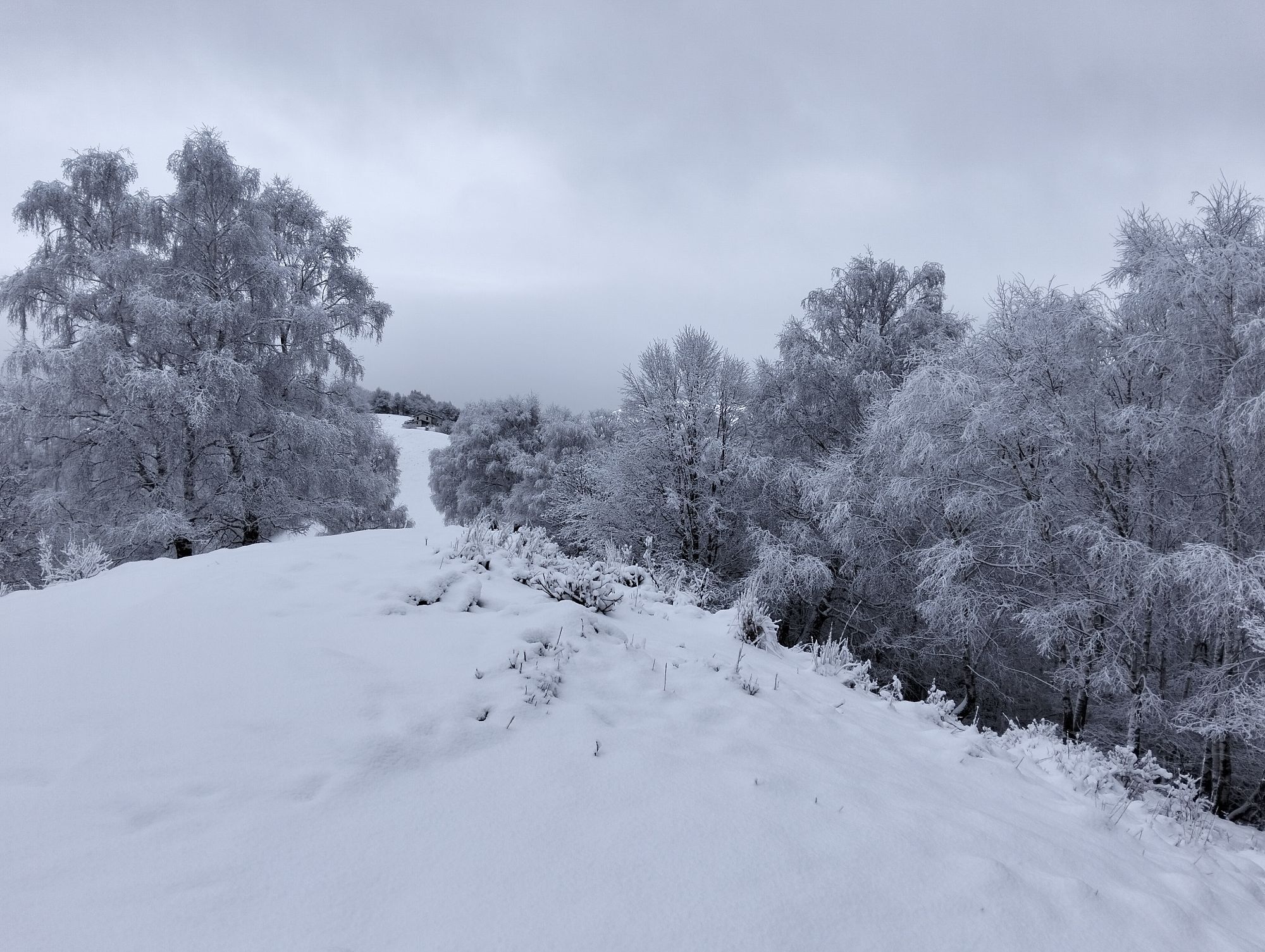
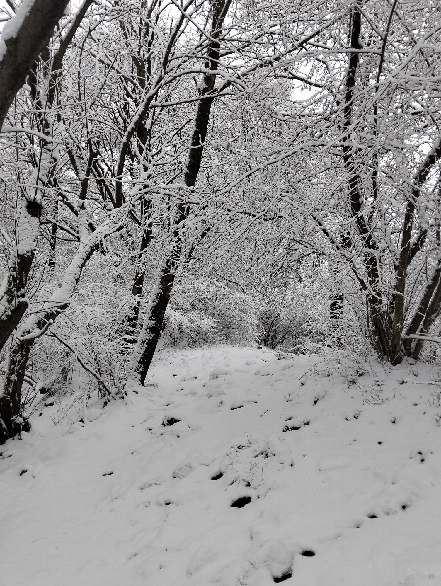
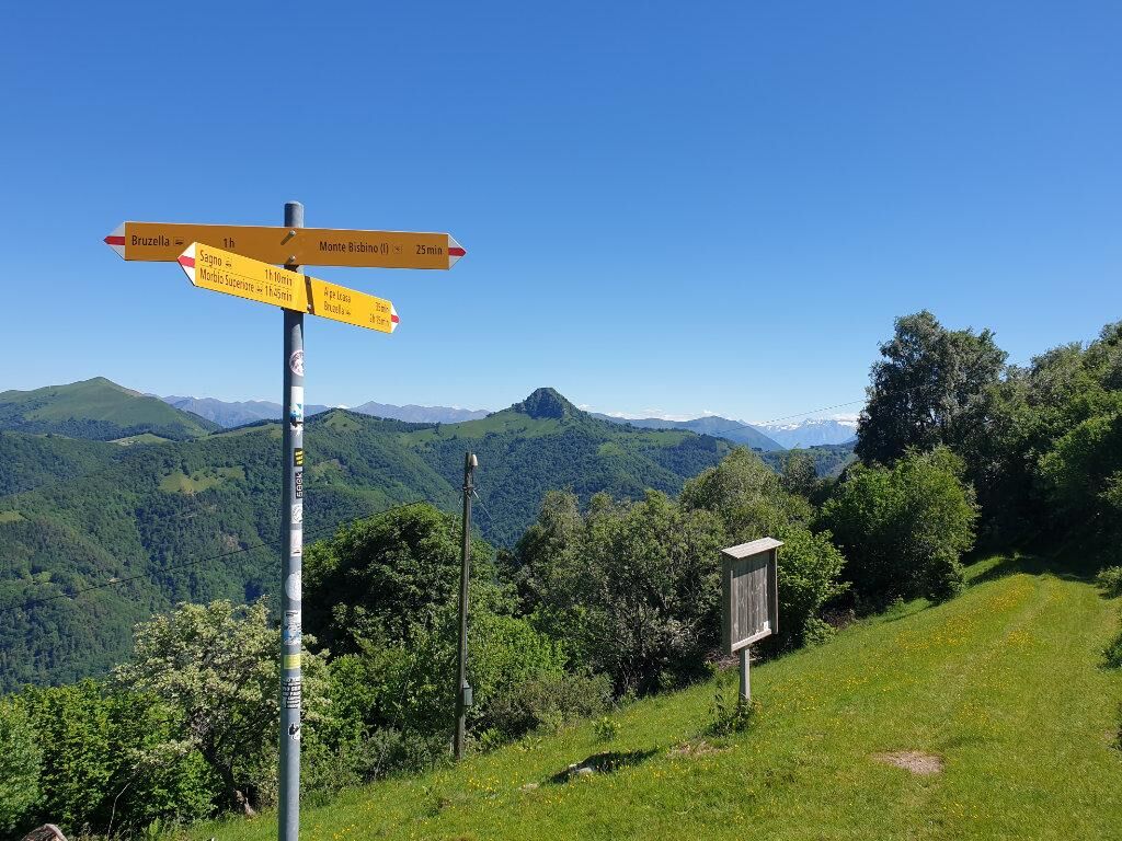
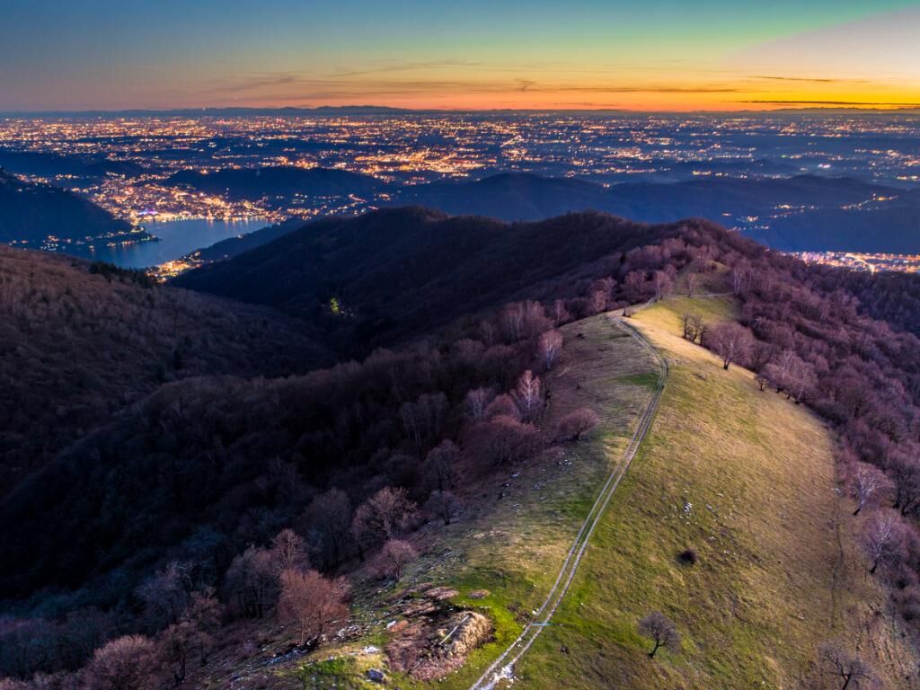
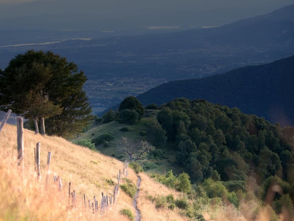
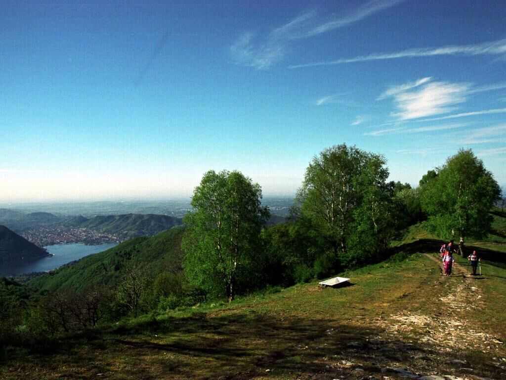
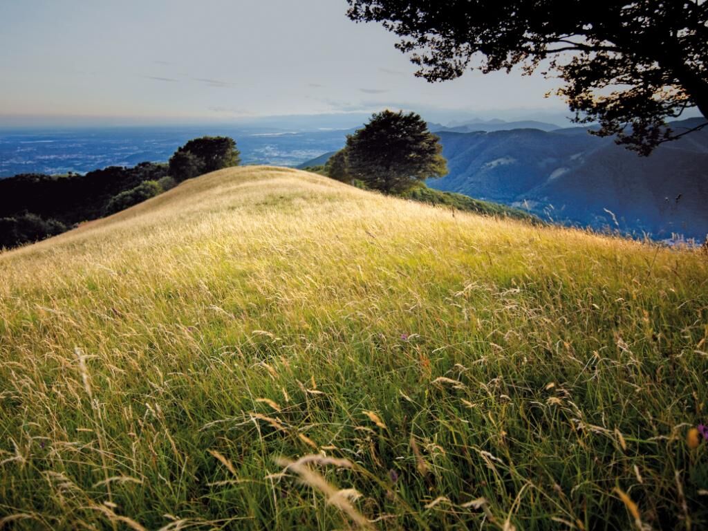
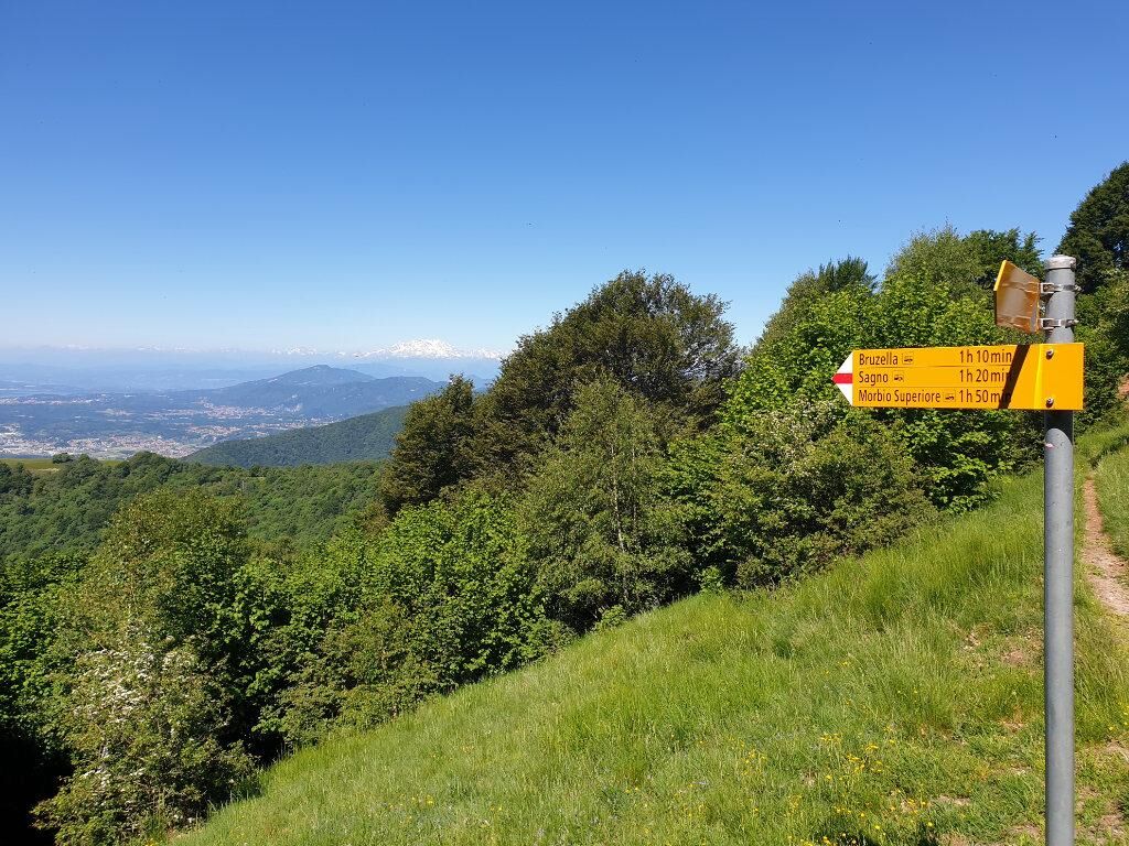
The route starts from Sagno (693 m) where, at the entrance to the village, there is a large public parking area and the Autopostale bus stop (stop Sagno Paese). Starting from the center, follow the small road leading to the Church of San Michele Arcangelo, continue on an asphalt road, then the official signage indicates an old cobbled mule track. The road climbs steeply up to the border stone in the Crusètt area, where the wooden border guards' hut is located. At this point the mule track ends and from here the path becomes a dirt trail; you will also notice a change in vegetation passing from chestnut trees to a younger forest of birches and oaks. The path becomes less steep and very quickly leads to the pastures from where you can enjoy a 360° open view of the Alps, the Muggio Valley, Monte Generoso, and lower Mendrisiotto. Always following the official signs, you reach Sella Cavazza, where paths coming from Bruzella and Alpe Loasa join. You climb and continue towards Alpe Cavazza, and looking downhill, you can admire the Gulf of Como and much of Lombardy. Continuing the ascent, in about twenty minutes you reach the summit of Monte Bisbino, at an altitude of 1,325 meters, in Italian territory. At the summit, besides the sanctuary dedicated to the Blessed Virgin, there is a restaurant and a weather station. From here on clear days you can enjoy a wonderful panorama: towards the east the Muggio Valley with the green ridge of Dosso Bello and Caviano, Monte Rosa; towards the south Lake Como; towards the north the pyramid of Sasso Gordona and just beyond, the pastures of the Muggio Valley that reach the summit of Monte Generoso. Descending, you can return to Sella Cavazza (1,162 m). Following the forest road to the right of the ridge, you reach the Oratory of San Martino and in a few minutes the parking lot of Sagno, returning to the starting point.

No special equipment required
There are no fountains

Popularne wycieczki w okolicy
- 4,7
Sentiero del Monte Generoso (SwitzerlandMobility 635)
średniWędrówka 9,22 km - 3,0
Bellavista - Monte Generoso
światłoWędrówka 2,60 km - 4,8
Triangolo Lariano esplorativo
światłoMountainbike 19,8 km - 5,0
Vetta Monte Generoso - Roncapiano - Muggio
średniWędrówka 6,01 km - 5,0
Vom Restaurant auf den Gipfel (Kulm)
światłoWędrówka 0,58 km Scudellate - Erbonne - Alpe Orimento
średniWędrówka 3,58 kmMonte San Primo
światłoWędrówka 15,6 km- 4,0
Alpe del viceré - monte Palanzone
średniWędrówka 11,2 km - 5,0
Morcote - San Salvatore
średniWędrówka 9,95 km S.Salvatore
światłoWędrówka 15,0 km
Wędrówki i tropienie


Nie przegap ofert i inspiracji na następne wakacje
Twój adres e-mail została dodana do listy mailingowej.