




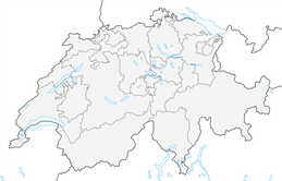

Sentiero del Monte San Giorgio (SwitzerlandMobility 636)


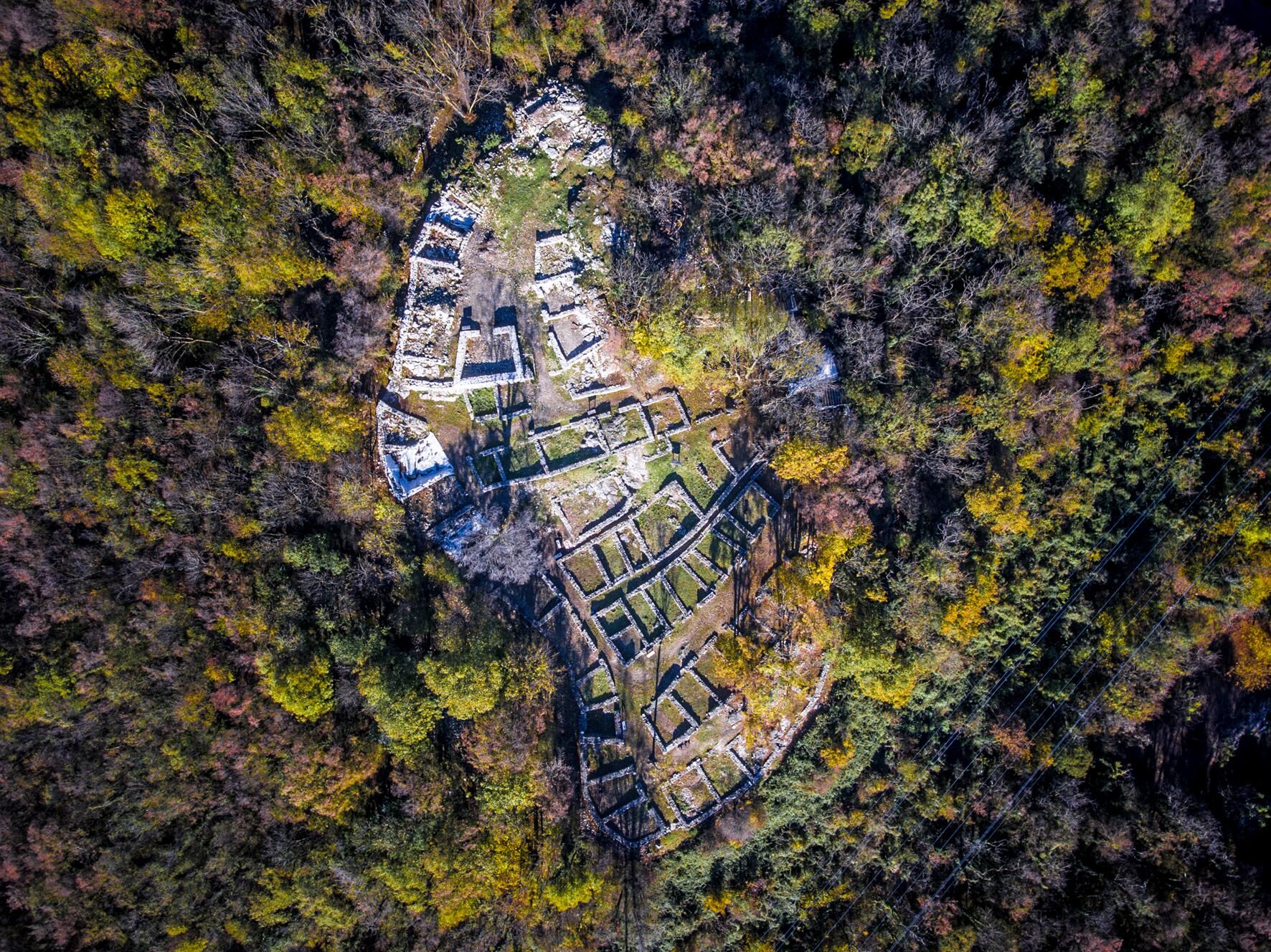
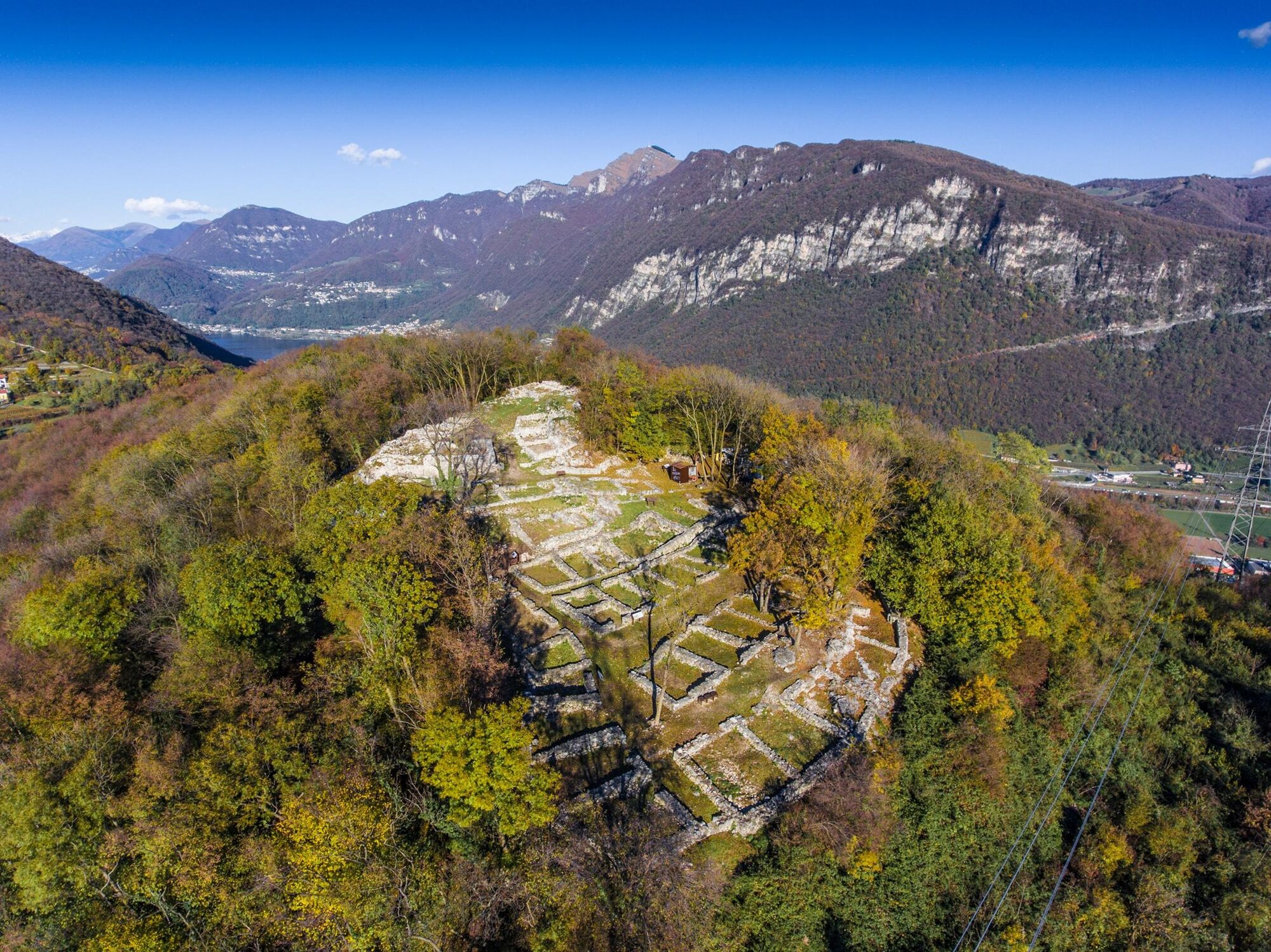
Among the southern branches of Lake Lugano stands Monte San Giorgio. First stage of the route: the archaeological excavations of Tremona-Castello. The remains of a settlement and finds allow us to understand...
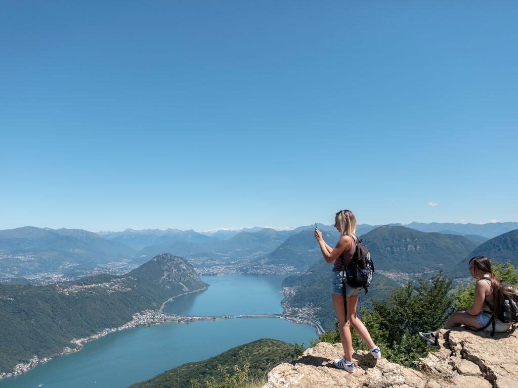
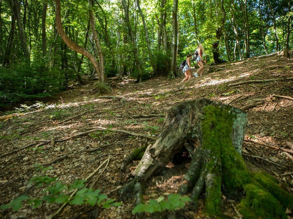
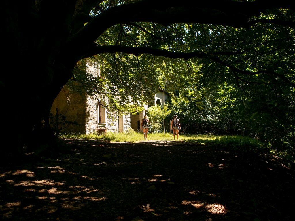
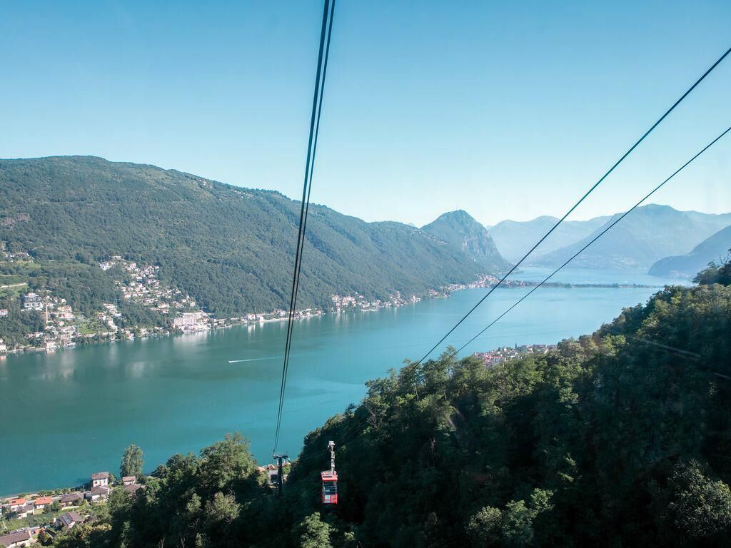
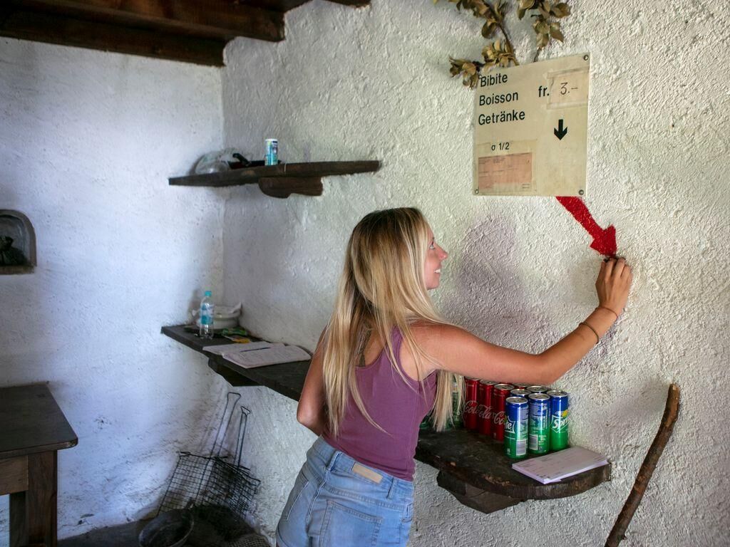
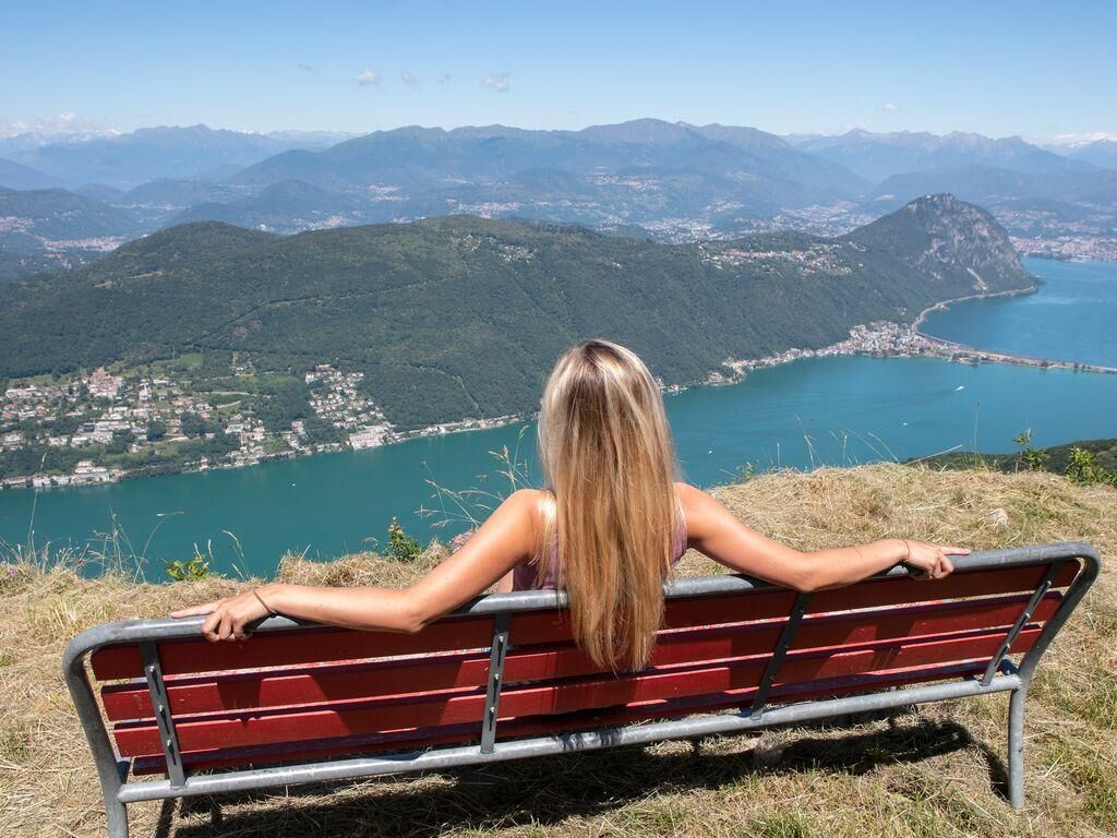
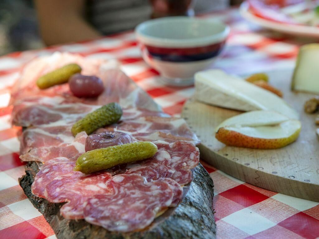
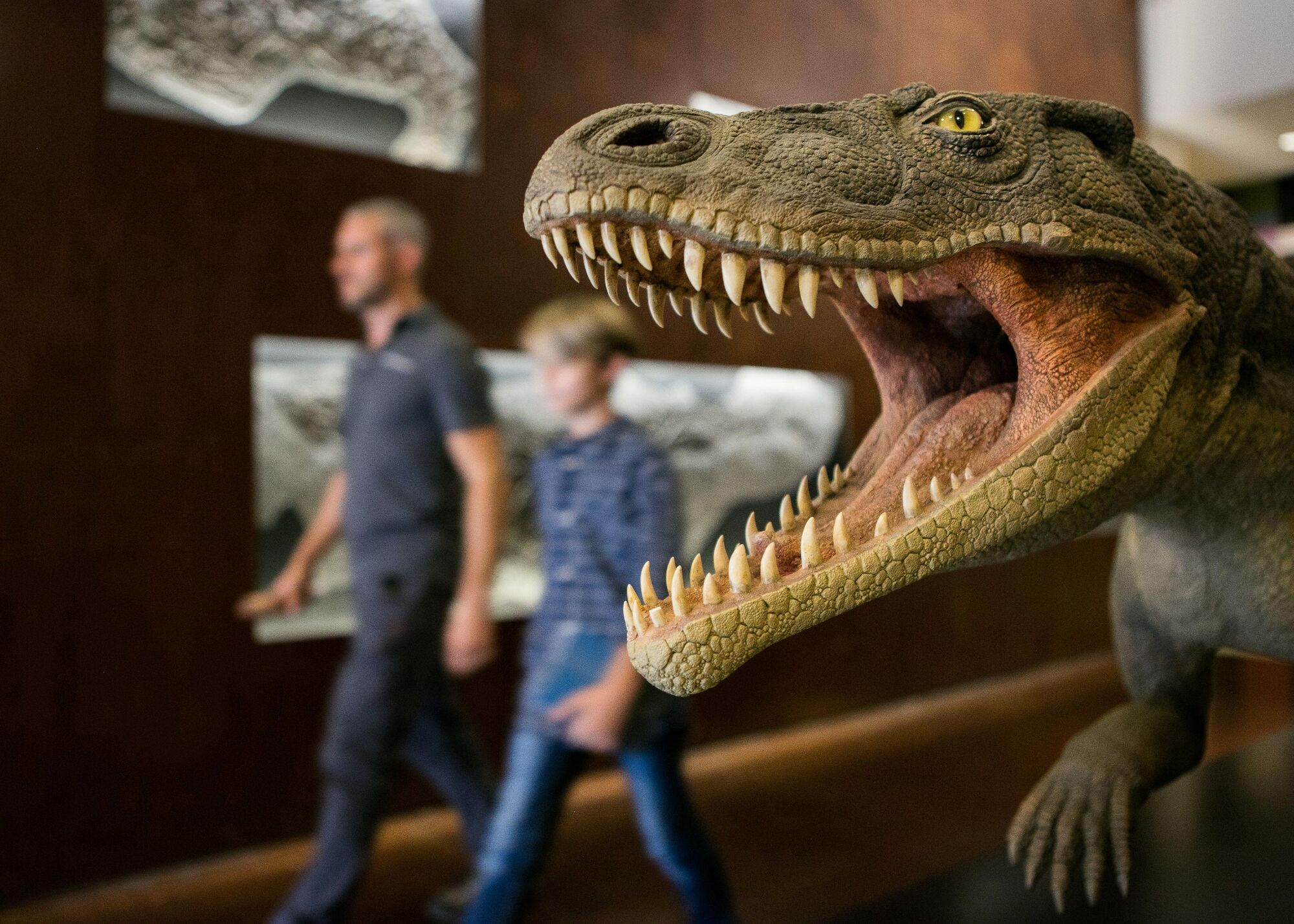
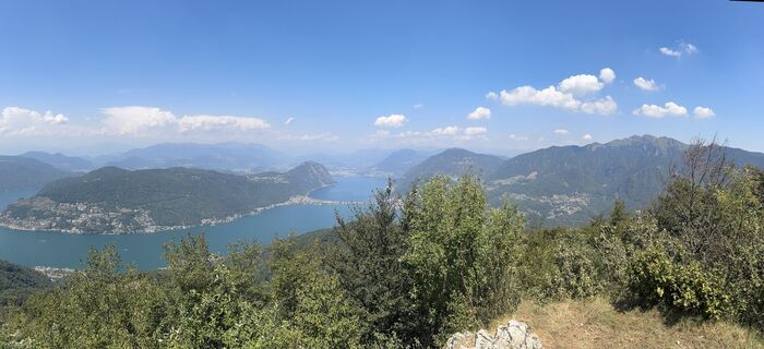
Among the southern branches of Lake Lugano stands Monte San Giorgio. First stage of the route: the archaeological excavations of Tremona-Castello. The remains of a settlement and finds allow us to understand the daily life of a medieval farming village. The exciting thing: during the visit you can immerse yourself in the ancient life of the village thanks to 3D glasses. After the Archaeological Park, hikers reach Meride (586 m above sea level). The Fossil Museum houses fossils and tracks dating back 230 million years found on Monte San Giorgio. The building housing the museum was designed by the famous Ticino architect Mario Botta. Due to the exceptional state of preservation of the marine fossils, the most important Middle Triassic (from 245 to 230 million years ago) fossils worldwide, in 2003 the Monte San Giorgio region was inscribed on the UNESCO World Heritage list. A few hundred meters from the museum is the panoramic terrace of Val Mara: with a view of the imposing calcareous schist rock face, it offers a glimpse of marine deposits from 230 million years ago and the fossils here. The route climbs towards Monte San Giorgio, at 1000 meters altitude. First you follow a wide mule track in the shade of the dense forest, then reach, on flat ground, Cassina with its chapel. The last stretch to the summit is quite steep but well worth it: from the top you can enjoy a fantastic view of the Ticino Alps and Lake Lugano. In bad weather, shelter can be found in St. George's Church. Later, the Alpe di Brusino, reachable via a steep forest path, offers a refuge dedicated to taste. From April to October, the alpine grotto offers typical regional specialties. The atmosphere is magical; the mountain hut is surrounded by centuries-old chestnut trees. You proceed towards Serpiano, where a comfortable cable car descends to Brusino Arsizio on the shores of Lake Lugano. The described path leads to the Serpiano hotel and the Church of St. Christopher. A few steps from the hotel, in the former customs house, is the small atelier of local painter Fiorello Fiorini, who paints in close contact with nature. In addition to paintings, you can also admire chairs to which the artist has injected new life. From here you pass through the forest again and at Crocifisso meet a road accessible by motor vehicles. You have to cross this road to continue along a wide path crossing meadows and woods to reach the starting point.



Tak
Trekking boots
Cap
Water bottle
Sunglasses
Sunscreen
Hiking map
Camera
Food
Parts of the route are on cantonal roads.
To enjoy the route we recommend purchasing the official maps from the Federal Office of Topography Swisstopo. In addition, the website map.geo.admin.ch offers constantly updated data.
Clean Mountains: Responsible waste management in the mountains is a matter of common sense. We can all contribute: https://www.montagnepulite.ch/it/regole-d-oro



Popularne wycieczki w okolicy
- 4,5
Sentiero del Monte Generoso (SwitzerlandMobility 635)
średniWędrówka 9,22 km - 3,0
Bellavista - Monte Generoso
światłoWędrówka 2,60 km - 5,0
Brè - Sasso Rosso - Monte Boglia - Lugano
ciężkiWędrówka 11,6 km - 5,0
Vetta Monte Generoso - Roncapiano - Muggio
średniWędrówka 6,01 km - 5,0
Novaggio
światłoWędrówka 8,10 km - 5,0
Vom Restaurant auf den Gipfel (Kulm)
światłoWędrówka 0,58 km Scudellate - Erbonne - Alpe Orimento
średniWędrówka 3,58 km- 5,0
Morcote - San Salvatore
średniWędrówka 9,95 km - 5,0
Castagnola-Bré-Cureggia-Pregassona-Castagnola
światłoWędrówka 14,1 km Variante Monte Generoso - Sentiero Gianola
ciężkiWędrówka 5,68 km
Wędrówki i tropienie


Nie przegap ofert i inspiracji na następne wakacje
Twój adres e-mail została dodana do listy mailingowej.





