







Lodano-Soláda-Castèll-Lodano
Poziom trudności: T2
A hike on a comfortable path past interesting witnesses of former forestry activities: logging and charcoal production.
You reach some well-preserved alpine huts and beautiful viewpoints that offer a wide...
A hike on a comfortable path past interesting witnesses of former forestry activities: logging and charcoal production.
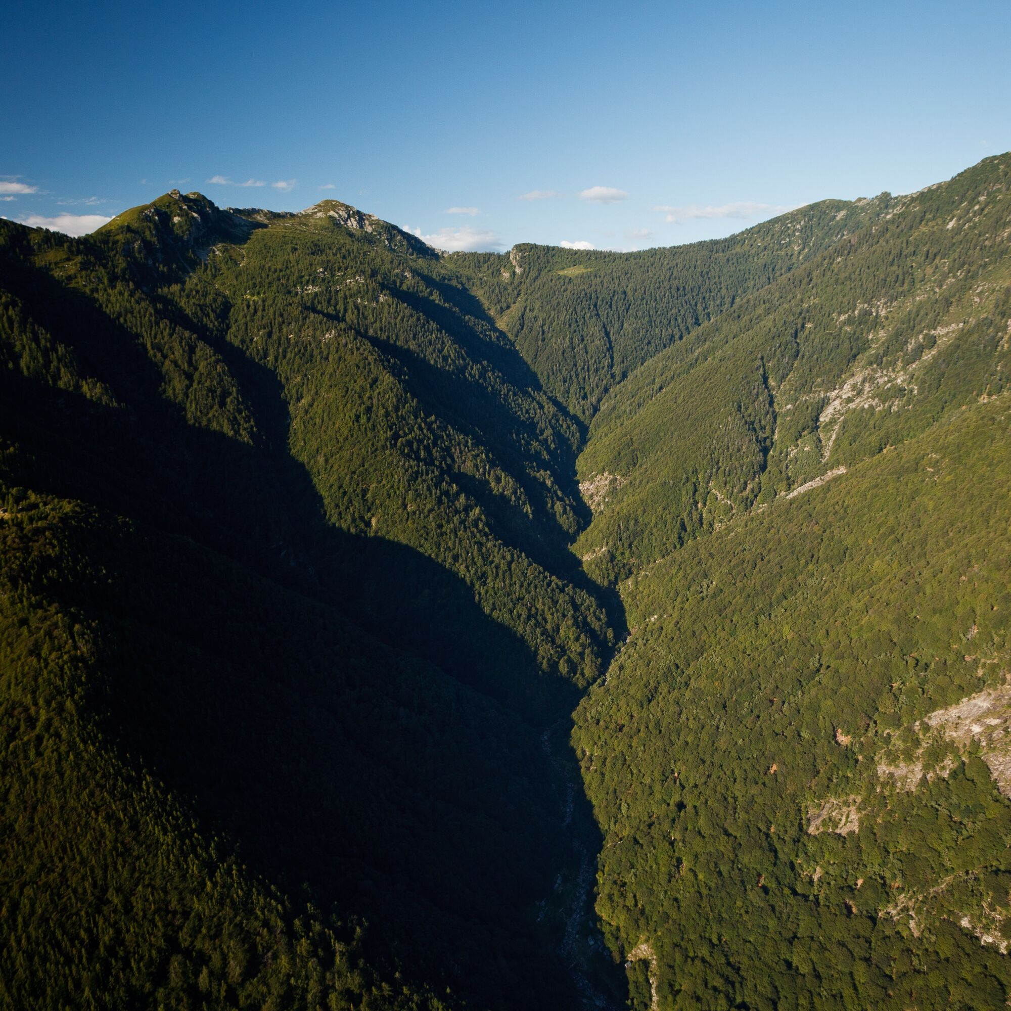
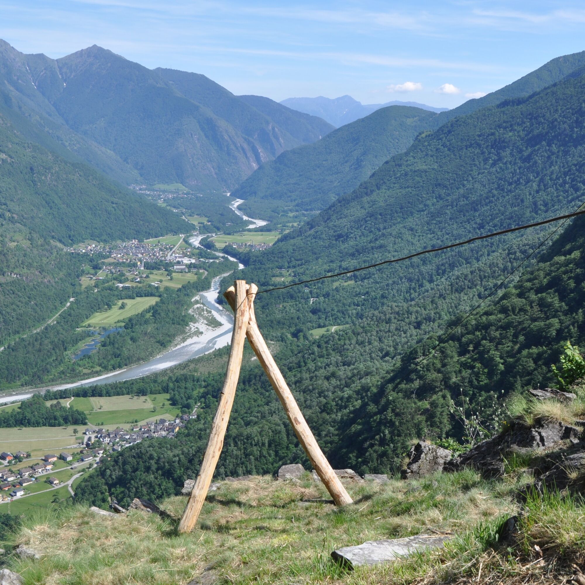
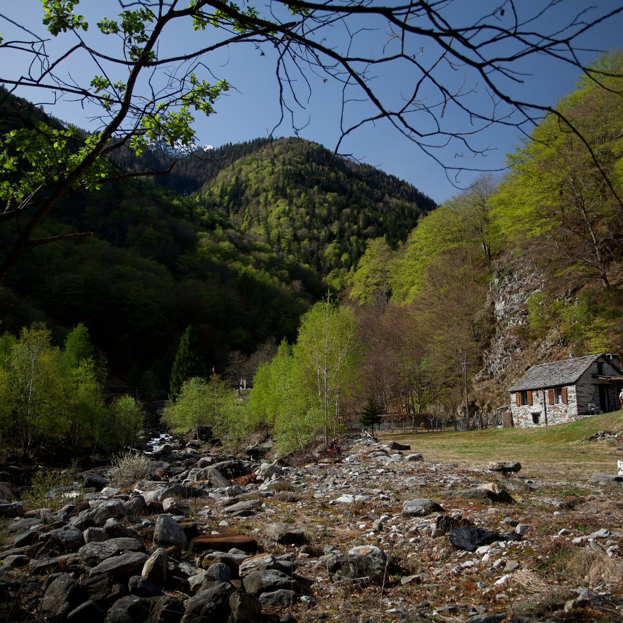
You reach some well-preserved alpine huts and beautiful viewpoints that offer a wide view of the magnificent river landscape of the Maggia and of secluded corners of the Valle di Lodano. The hike leads through diverse forests typical of lower altitudes.


T2

Popularne wycieczki w okolicy
-
4,8
Valle del Salto round route (SvizzeraMobile 611)
średniWędrówka 8,84 km -
4,8
Avegno-Ponte Brolla-Avegno
średniWędrówka 8,56 km -
3,3
Entlang der Verzasca von Sonogno via Brione nach Lavertezzo
światłoWędrówka 14,5 km -
5,0
Lavertezzo-Brione Verzasca
światłoWędrówka 6,50 km -
4,5
Revöira Ethnographic Trail (SwitzerlandMobile 629)
średniWędrówka 7,97 km -
4,0
Cardada Bike (SwitzerlandMobility 397)
ciężkiMountainbike 30,6 km -
Maggia-Someo-Maggia
światłoWędrówka 15,5 km -
Cardada-Cimetta-Alpe Vegnasca-Cardada
średniWędrówka 6,86 km -
Via Alta Vallemaggia - 1st stage: Cimetta-Capanna Alpe Nimi
ciężkiWędrówka 10,2 km -
Sentiero Verzasca (SvizzeraMobile 74)
średnidługodystansowy szlak pieszy 34,4 km
Wędrówki i tropienie


Nie przegap ofert i inspiracji na następne wakacje
Twój adres e-mail została dodana do listy mailingowej.





