







Corona di Pinz Trail

Poziom trudności: T2
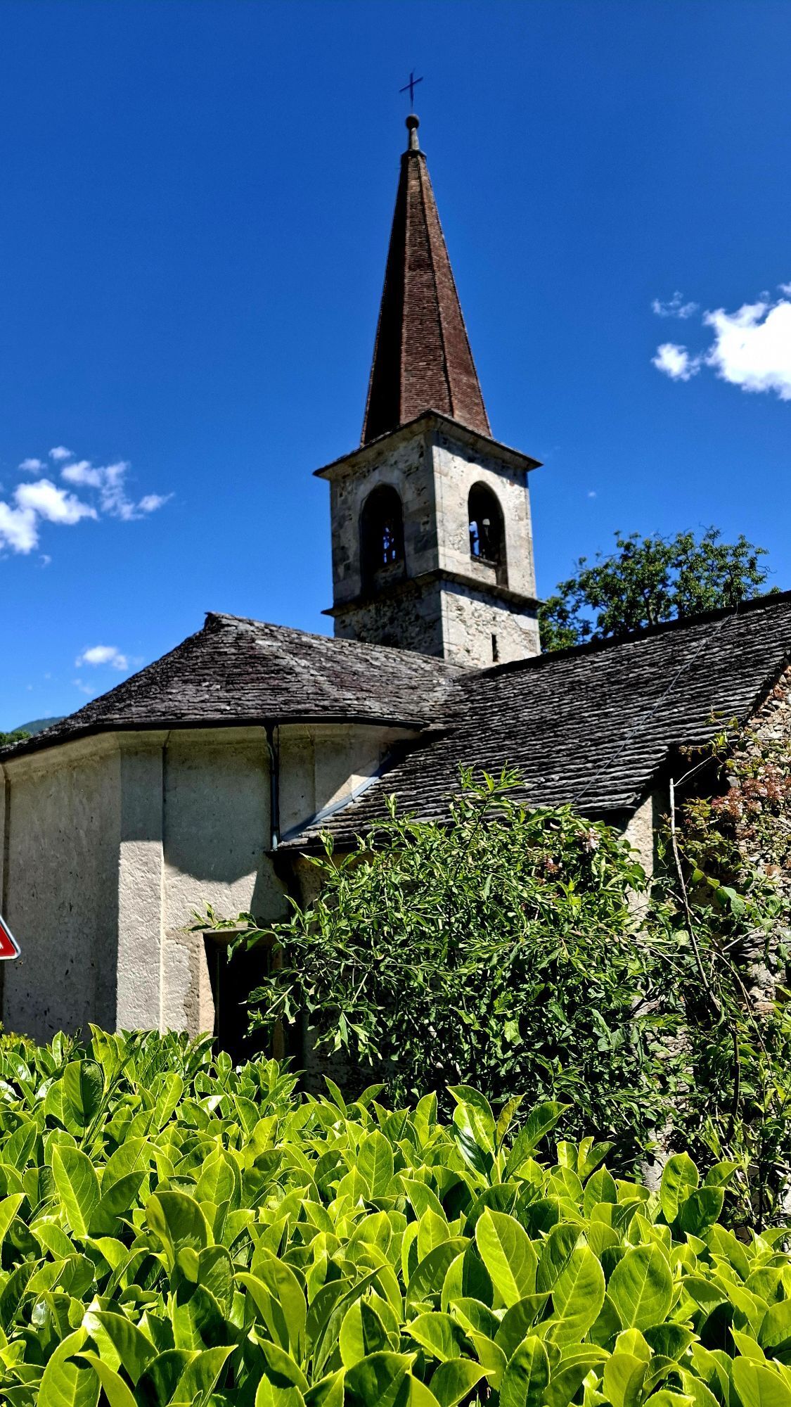
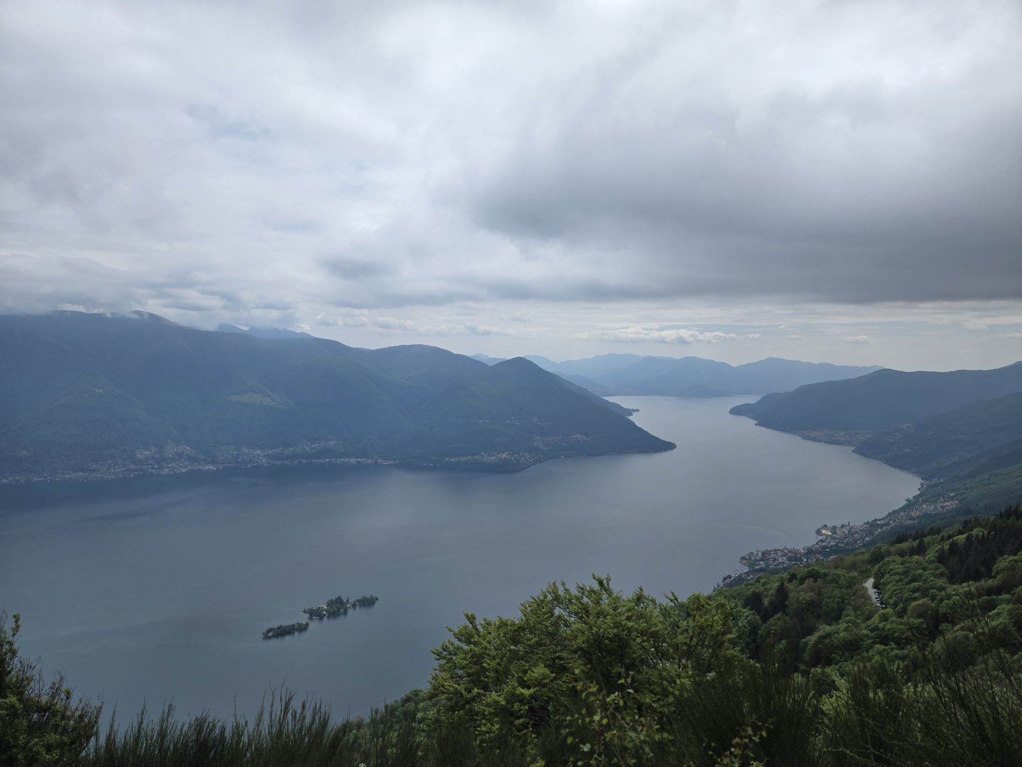
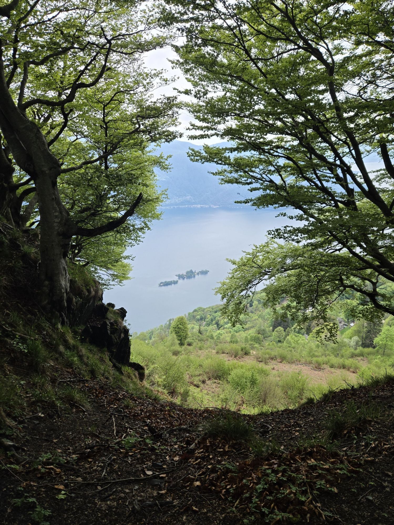
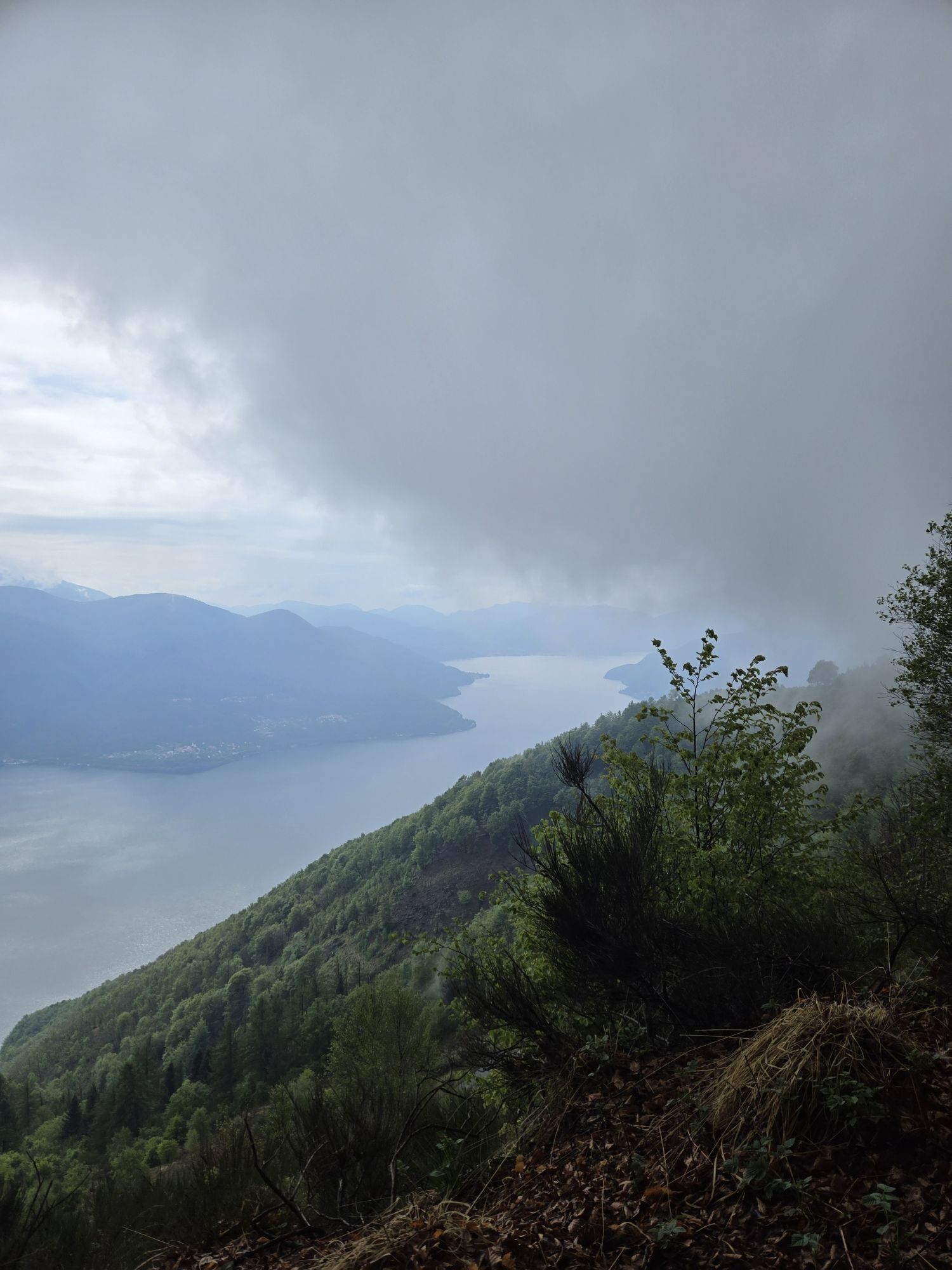
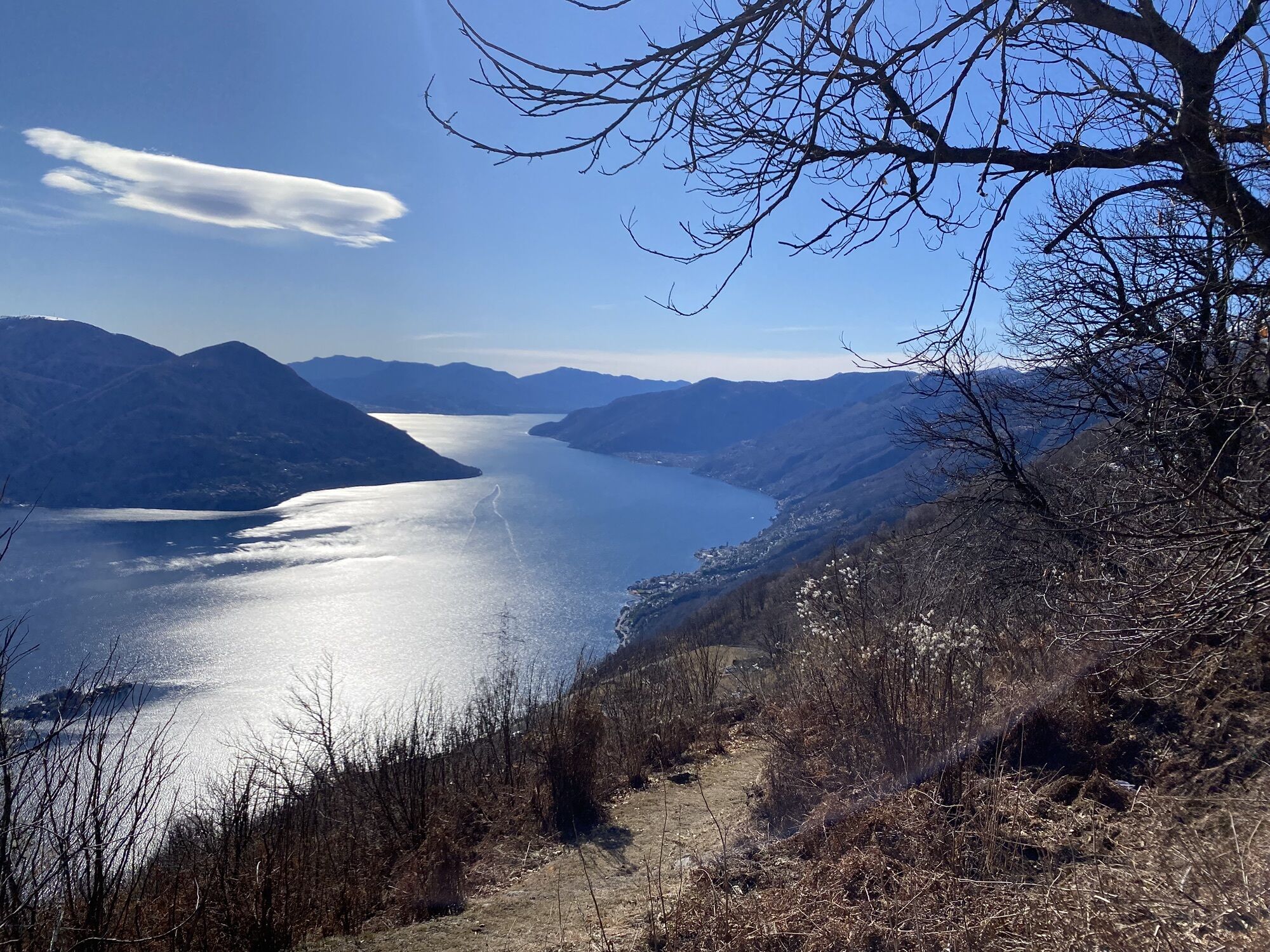
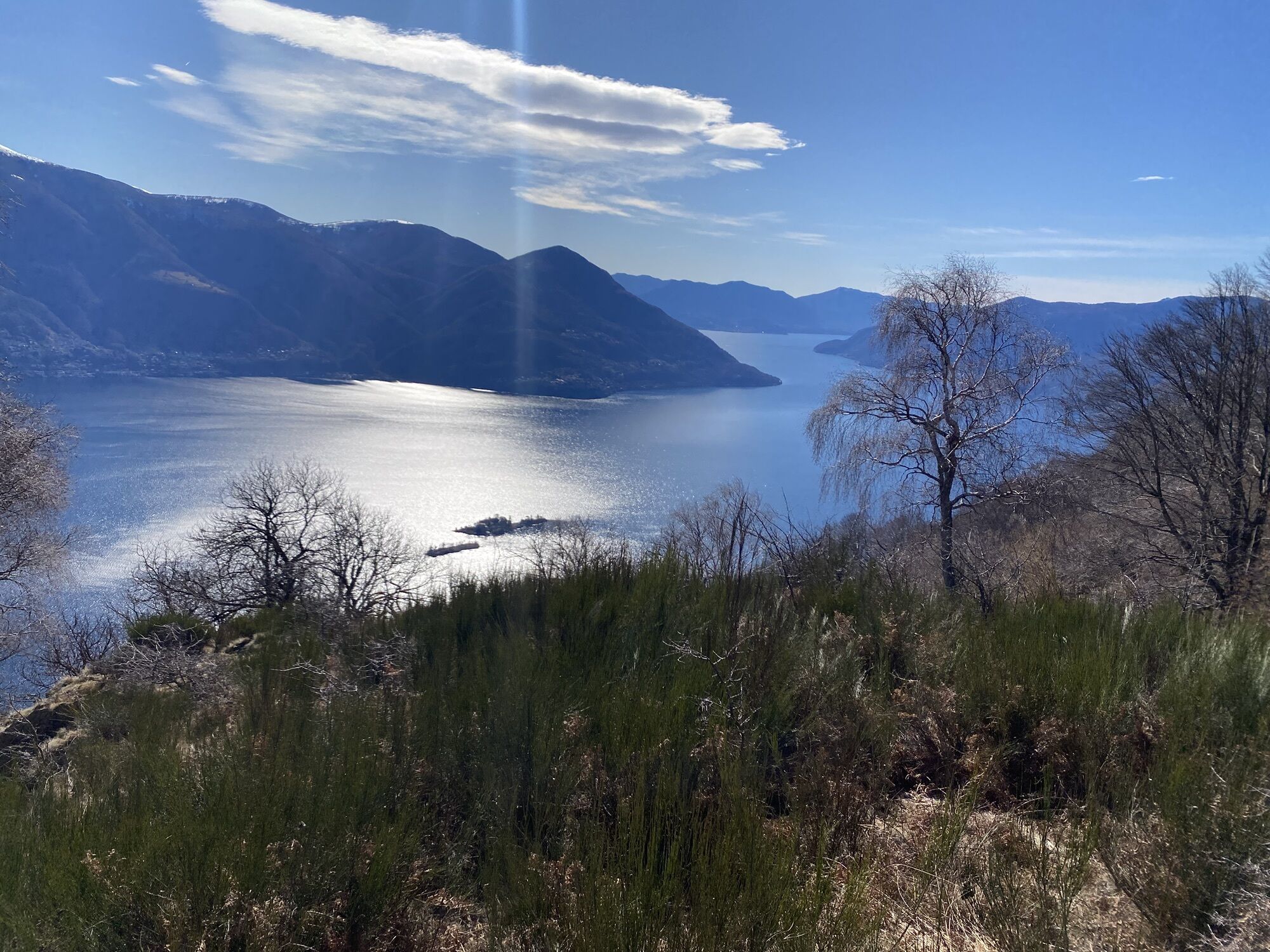
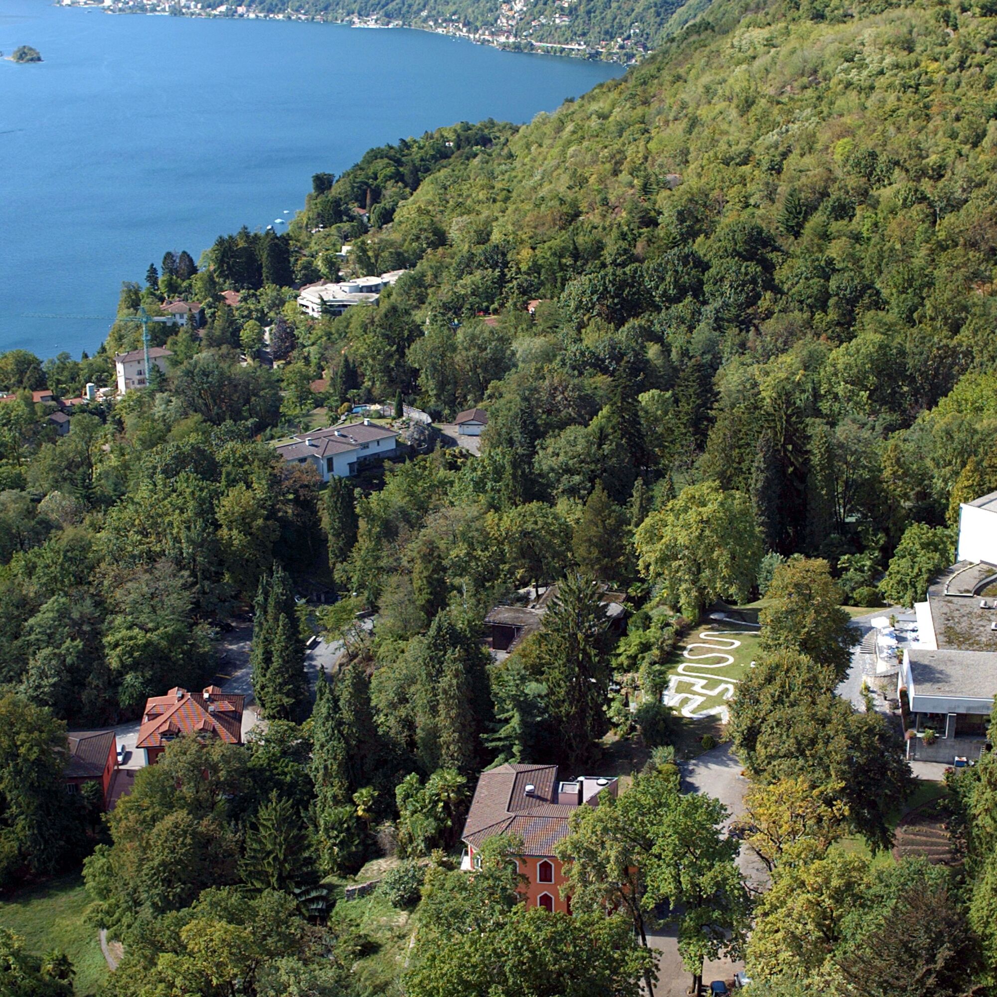
From Monte Verità, located just above the picturesque village of Ascona, the route starts with a 6.5 km climb up to Corona di Pinz. The first part of the ascent develops for about 4 km inside a dense forest,...
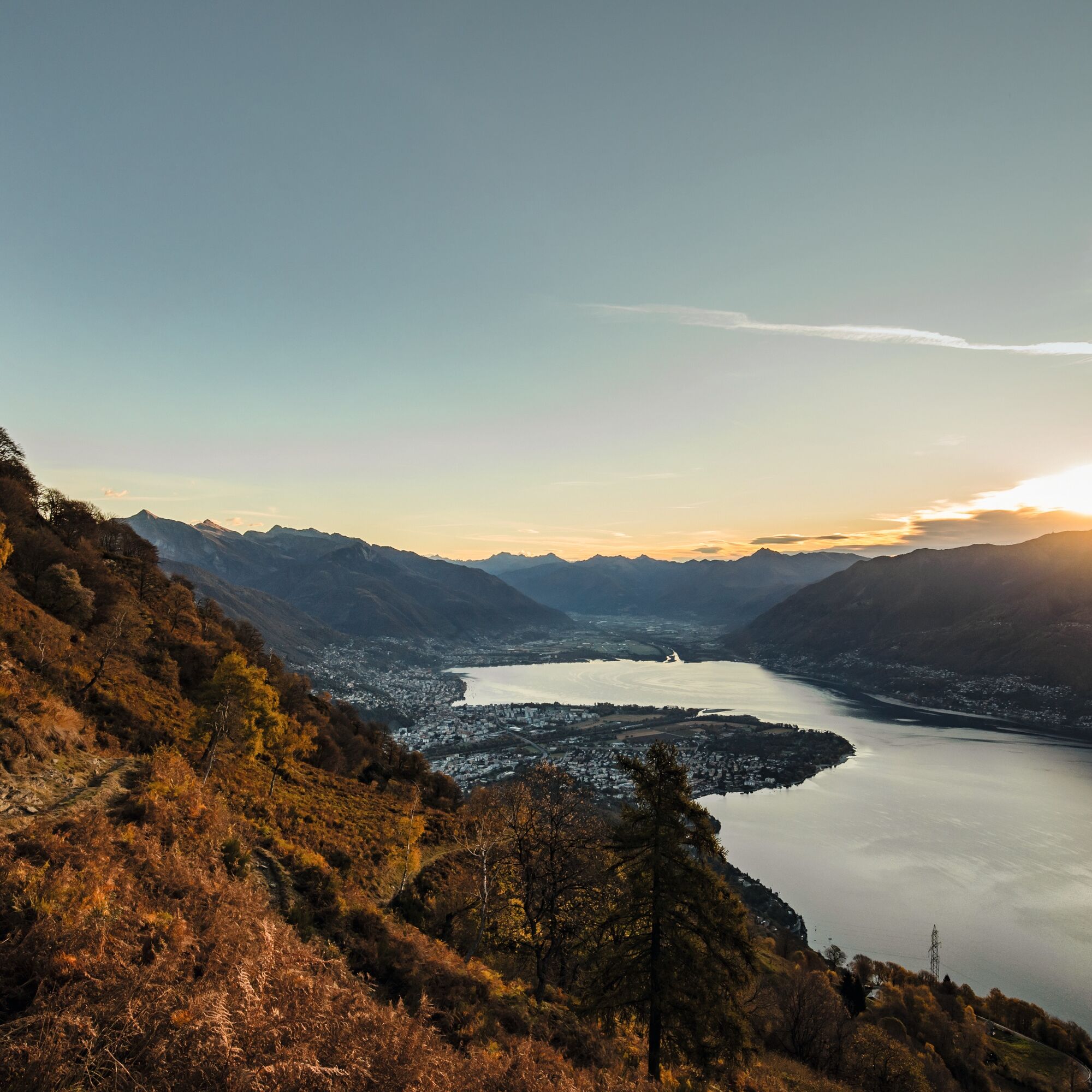
From Monte Verità, located just above the picturesque village of Ascona, the route starts with a 6.5 km climb up to Corona di Pinz. The first part of the ascent develops for about 4 km inside a dense forest, then continues in a more open environment for the next 2.5 km.
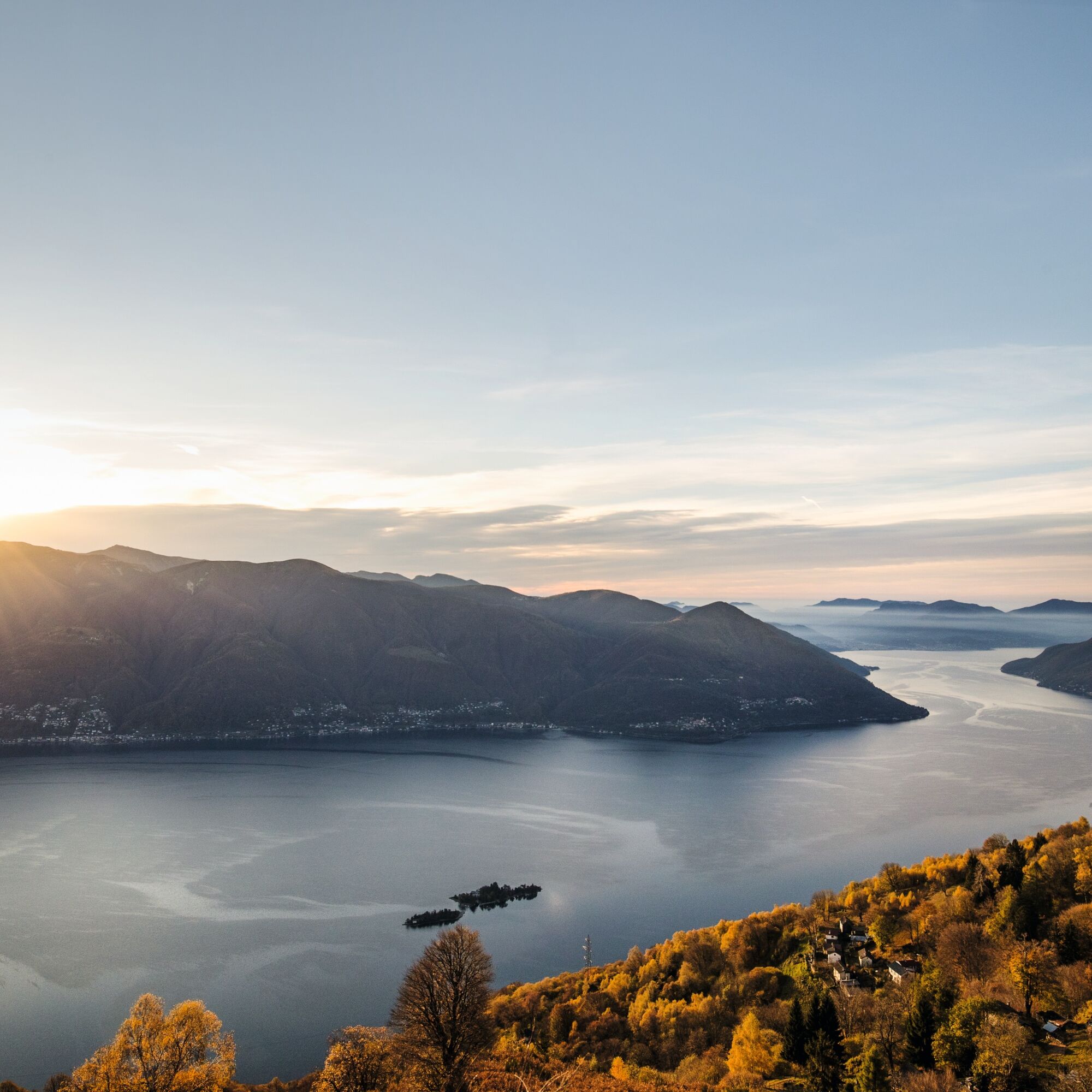
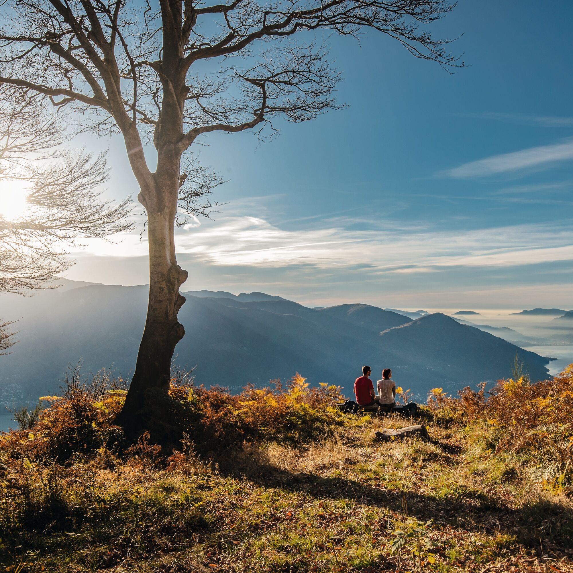
Upon reaching Corona di Pinz, where a spectacular panorama can be enjoyed, the trail continues towards Alpe di Naccio. This section is characterized by gentle slopes and is mostly runnable, ideal for maintaining a good pace.
Reaching Alpe di Naccio, a descent of about 2.5 km on a challenging path is tackled, followed by a flat stretch of 1.5 km on a forest road. The itinerary ends with a short paved section before returning to the trails leading back to Monte Verità, where the trail concludes.
Variant: From Alpe di Naccio it is possible to take the path leading to Pizzo Leone, a highly recommended summit for the enchanting view. The return is along the same path back to Alpe di Naccio, where the marked route resumes. This variant adds about 3.7 km and 325 m of elevation gain to the overall route.


ð Clothing:
Breathable technical t-shirt Trail shorts or leggings Anti-blister sports socks Light windproof/rainproof jacket Cap or headband UV-protection sunglassesð Shoes:
Trail shoes with good grip𥤠Hydration and nutrition:
Trail running backpack or belt At least 1 liter of water Energy snacks: bars, gels or dried fruitð§ Safety and navigation:
Charged mobile phone Map or GPS track of the route Emergency whistle Mini first aid kit Emergency thermal blanketâï¸ Other advice:
Sunscreen Anti-chafing cream Trail poles (optional)T2
Kamery internetowe z trasy

Popularne wycieczki w okolicy
-
4,7
Verzasca Dam-Mergoscia-Corippo-Lavertezzo
średniWędrówka 13,0 km -
4,8
Valle del Salto round route (SvizzeraMobile 611)
średniWędrówka 8,84 km -
4,8
Avegno-Ponte Brolla-Avegno
średniWędrówka 8,56 km -
3,8
Cannobio zu Sant’Aagata
światłoWędrówka 5,85 km -
4,0
Cardada Bike (SwitzerlandMobility 397)
ciężkiMountainbike 30,6 km -
Cardada-Cimetta-Alpe Vegnasca-Cardada
średniWędrówka 6,86 km -
Via Alta Vallemaggia - 1st stage: Cimetta-Capanna Alpe Nimi
ciężkiWędrówka 10,2 km -
Sentiero Verzasca (SvizzeraMobile 74)
średnidługodystansowy szlak pieszy 34,4 km -
5,0
Spruga-Alpe Saléi-Comologno
średniWędrówka 8,96 km -
4,5
Sculpture Trail
światłoTrasa tematyczna 2,49 km
Wędrówki i tropienie


Nie przegap ofert i inspiracji na następne wakacje
Twój adres e-mail została dodana do listy mailingowej.





