



Quatro pâss visín a r'acqua



The trail is suitable for everyone, young and old, single people and families with children.
It has a length of approx. 6.0 km, with an elevation gain of approx. 360 m and a total duration of approx. 2...
The trail is suitable for everyone, young and old, single people and families with children.
It has a length of approx. 6.0 km, with an elevation gain of approx. 360 m and a total duration of approx. 2 hours. To best appreciate this route, it is good to have a half day.
The route starts and finishes in Corzoneso Piano - locality "Toraccia" - and is walkable in both directions. The official signage is marked by the color white and the words "Quatro pâss visín a r'acqua".
Development of the trail following the route clockwise:
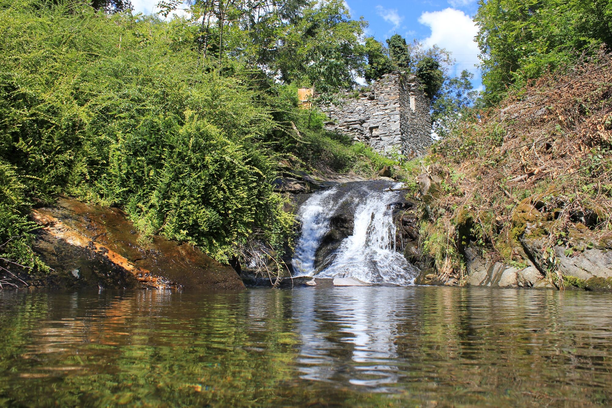
At the beginning of the trail, in the locality of "Toraccia" it is possible to catch a glimpse of the building of the "micro power plant of Acquarossa," which uses the water of the Corzoneso brook to produce electricity. The path climbs towards Corzoneso passing by the two water intakes that allow the turbine to be powered.
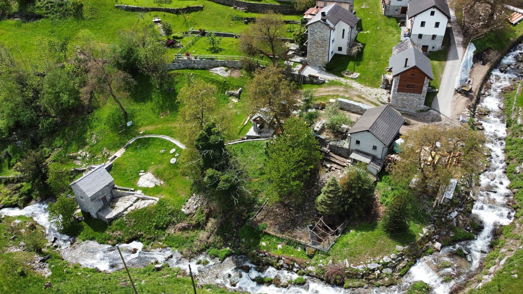
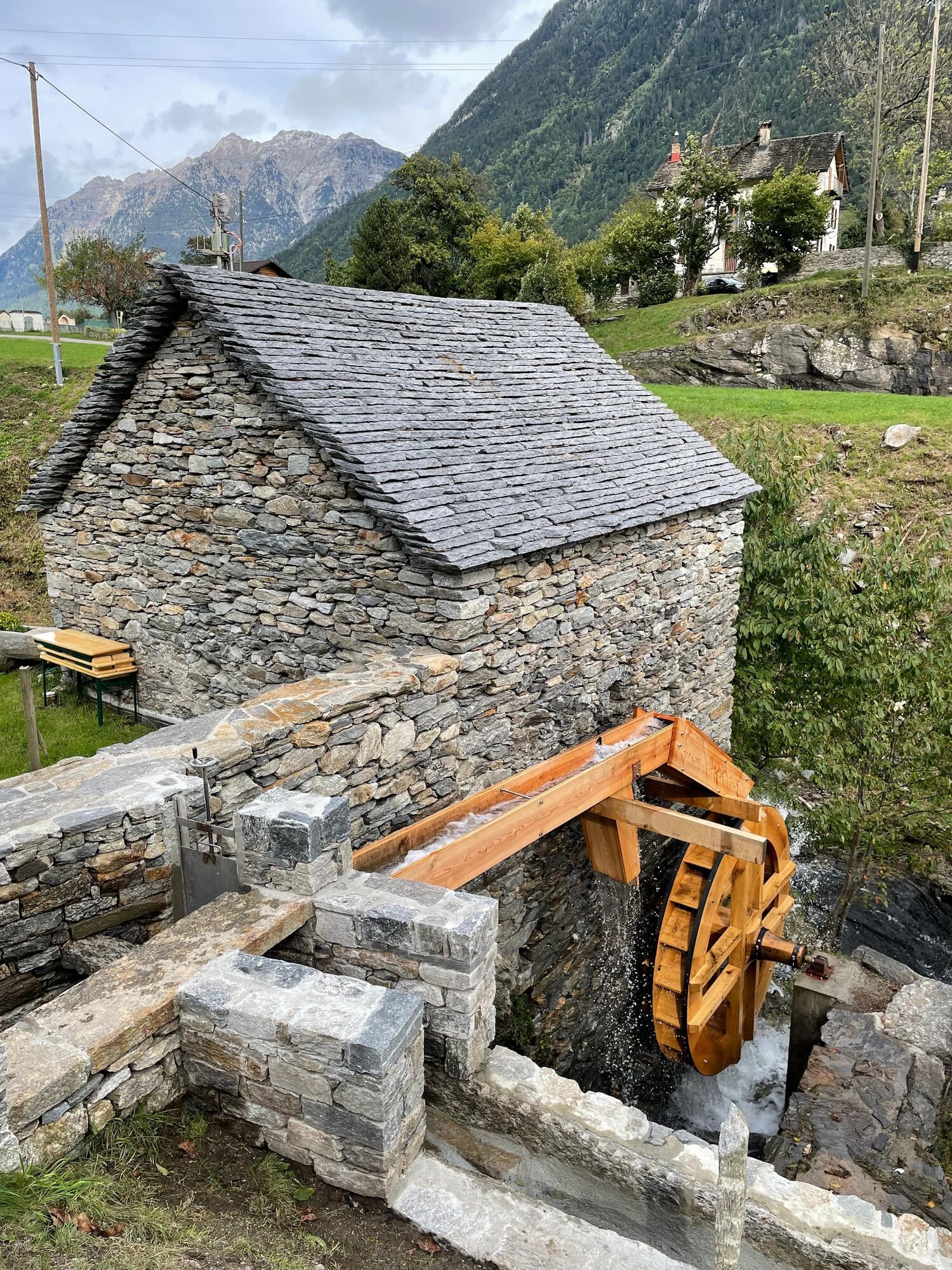
Further upstream you reach the old Corzoneso Mill (www.ulmurin.ch) and the recently renovated wash house. Arriving in the nucleus of Corzoneso you will have to walk a short stretch of cantonal road and then take the path again that will take you to Casserio. Here it is possible to visit the Casa Rotonda building in Casserio permanent home of the revalued and appreciated local photographer of the late 19th-early 20th century Roberto Donetta (www.archiviodonetta.ch).
In the small square of Casserio there is a plaque dedicated to the well-known protagonist of the Italian Risorgimento and other war exploits, General Antonio Arcioni born in this small and characteristic village of the Blenio Valley.
In the locality of "Boneira" the trail splits in two. If you decide to descend toward Corzoneso, just beyond the cantonal road, you will pass by the old infrastructure called "the sheep bath" that was used to disinfect sheep at particular times of the year.
From "Boneira" going in the direction of Cumiasca, at the entrance to the nucleus, you will pass by an old and peculiar washhouse object dating back to the 17th century.
As the trail develops, the hiker will be able to appreciate, in addition to the water-related objects, a succession of churches (noteworthy is the patronal church of Corzoneso dedicated to Saints Nazzaro and Celso), chapels, and artistic and architectural testimonies worthy of particular note.


Tak
Tak

Popularne wycieczki w okolicy
-
4,8
Tibet Suspension Bridge Route Riasc
światłoWędrówka 6,12 km -
Furggelti 2712m
ciężkiWędrówka 18,7 km -
4,8
Source of the Brenno
światłoWędrówka 6 km -
4,5
Carassino Valley Via Alta
Wędrówka 14,0 km -
Frasco-Efra Hut-Frasco
ciężkidługodystansowy szlak pieszy 17,6 km -
Trailrun - Zerfreilahorn circuit
ciężkiTrailrunning 21,3 km -
5,0
Discovering the Lakes of Chièra
średniWędrówka 8,19 km -
3,0
Faido and the Piumogna waterfall
Wędrówka 6,94 km -
3 day route Greina-Lucomagno: Capanna Scaletta - Capanna Bovarina (Stage 2)
średnidługodystansowy szlak pieszy 13,3 km -
Lago d'Efra Trail
ciężkiTrailrunning 13,6 km
Wędrówki i tropienie


Nie przegap ofert i inspiracji na następne wakacje
Twój adres e-mail została dodana do listy mailingowej.


