


Monte Comino: Verdasio-Pian Segna-A Dröi-Verdasio
Poziom trudności: T2
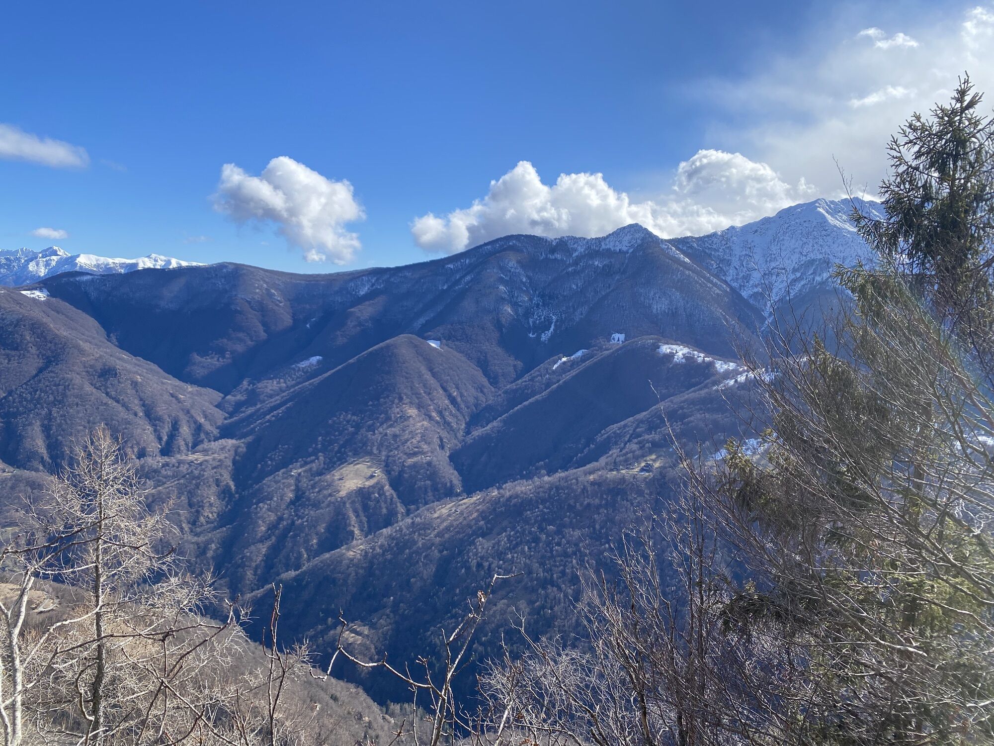
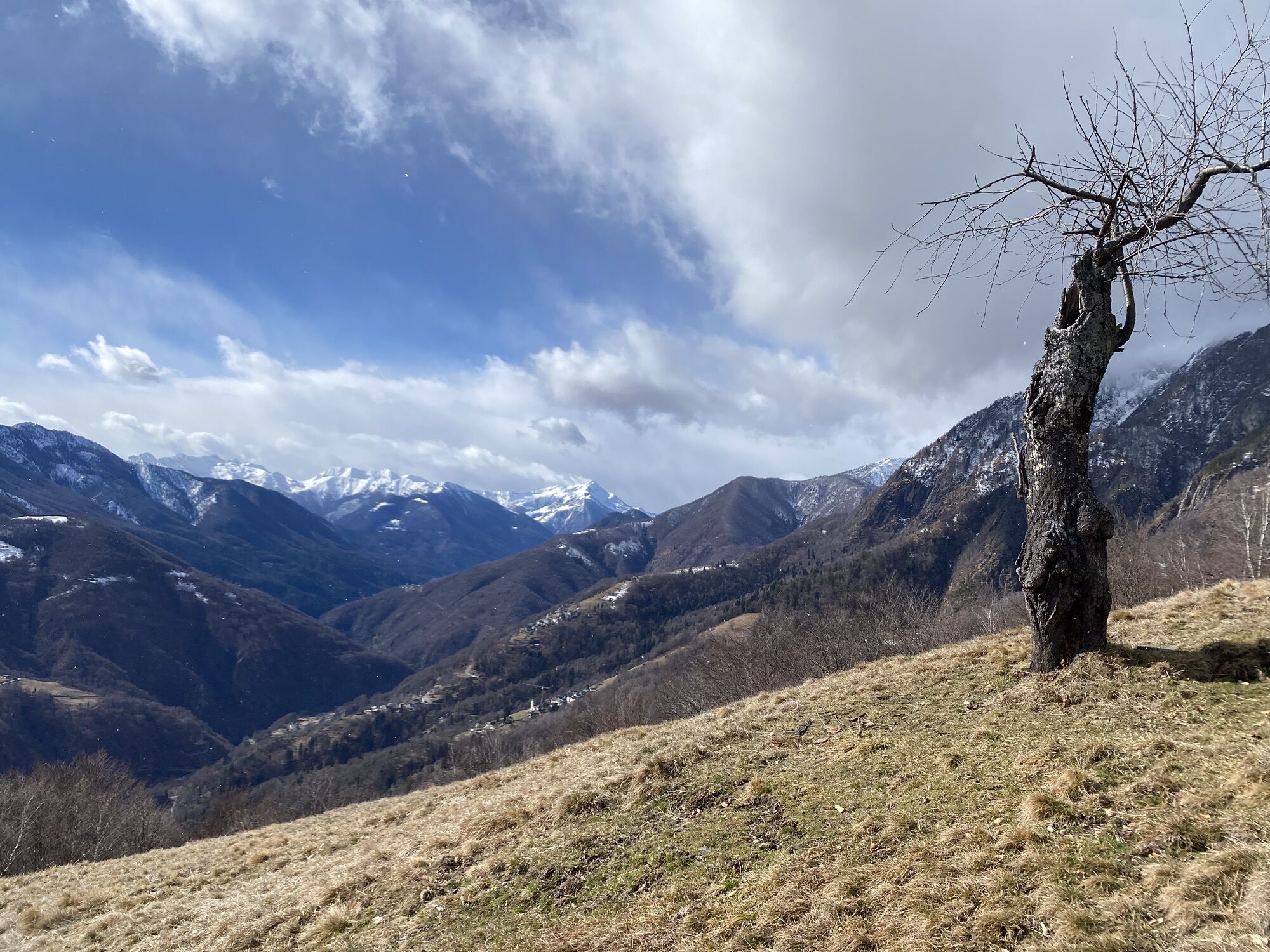
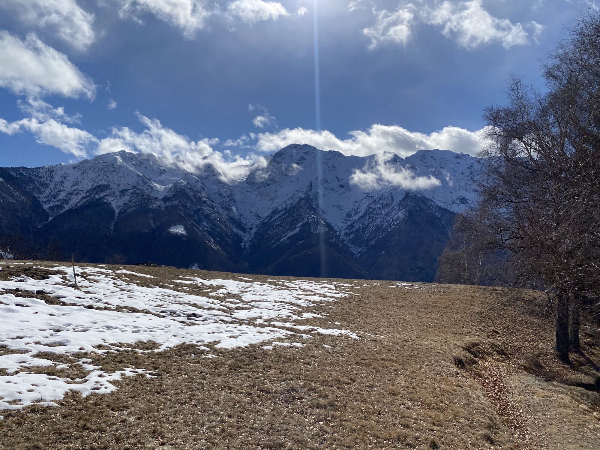
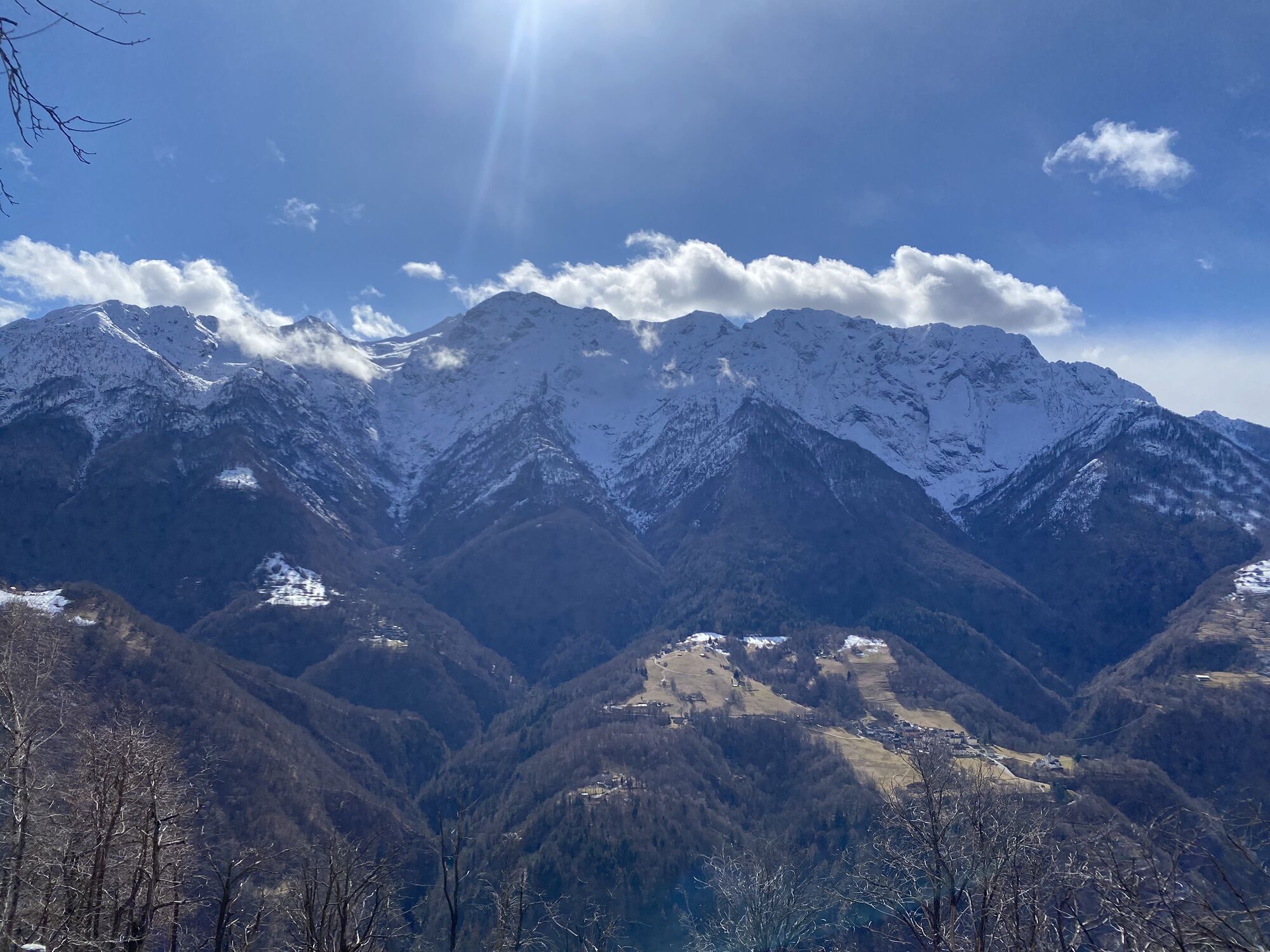
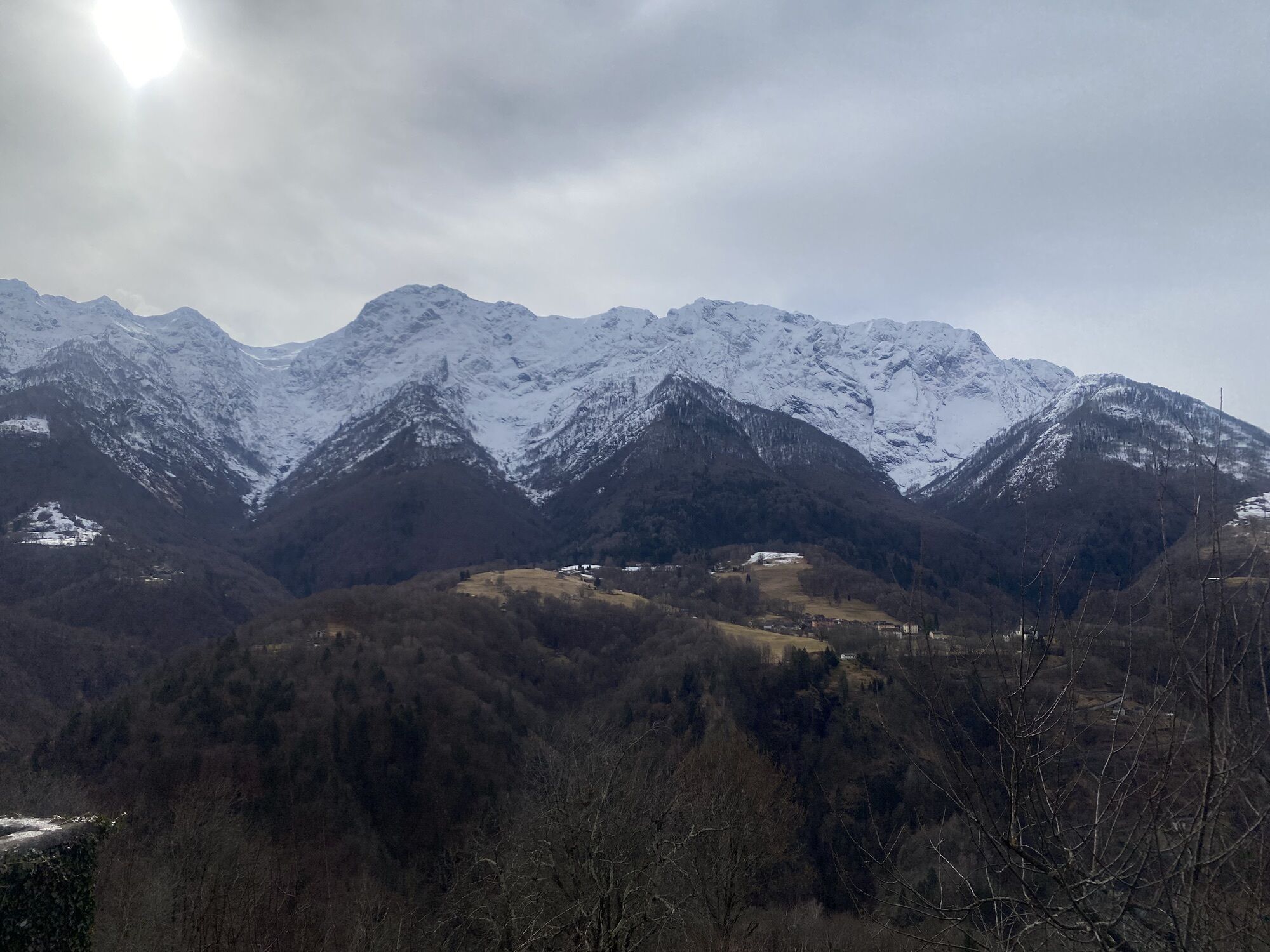
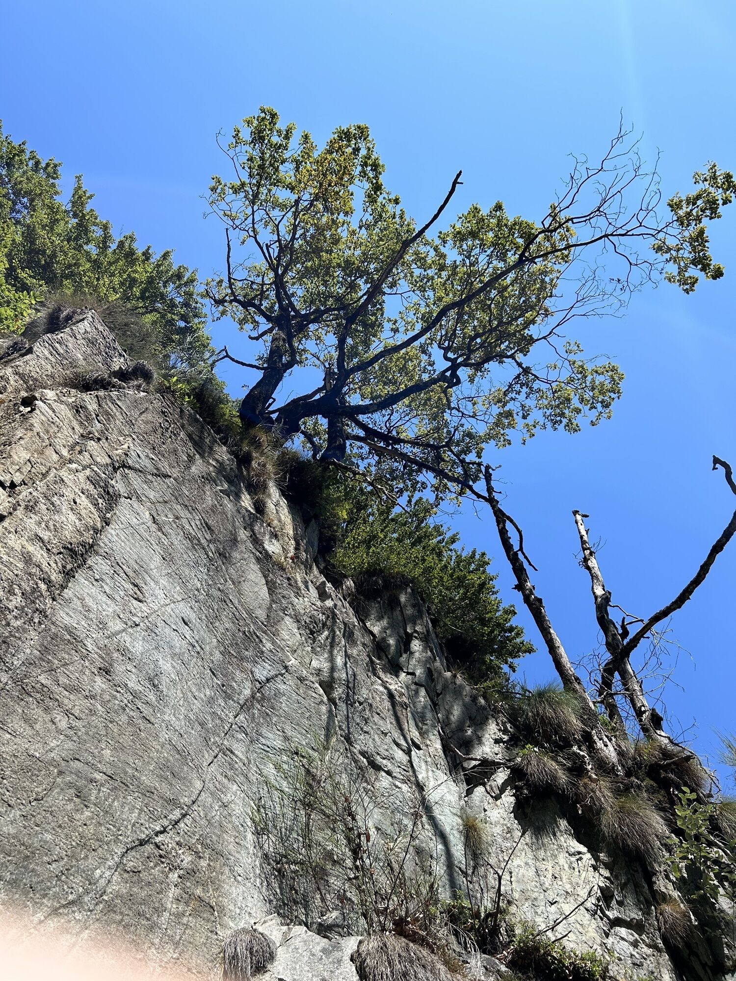
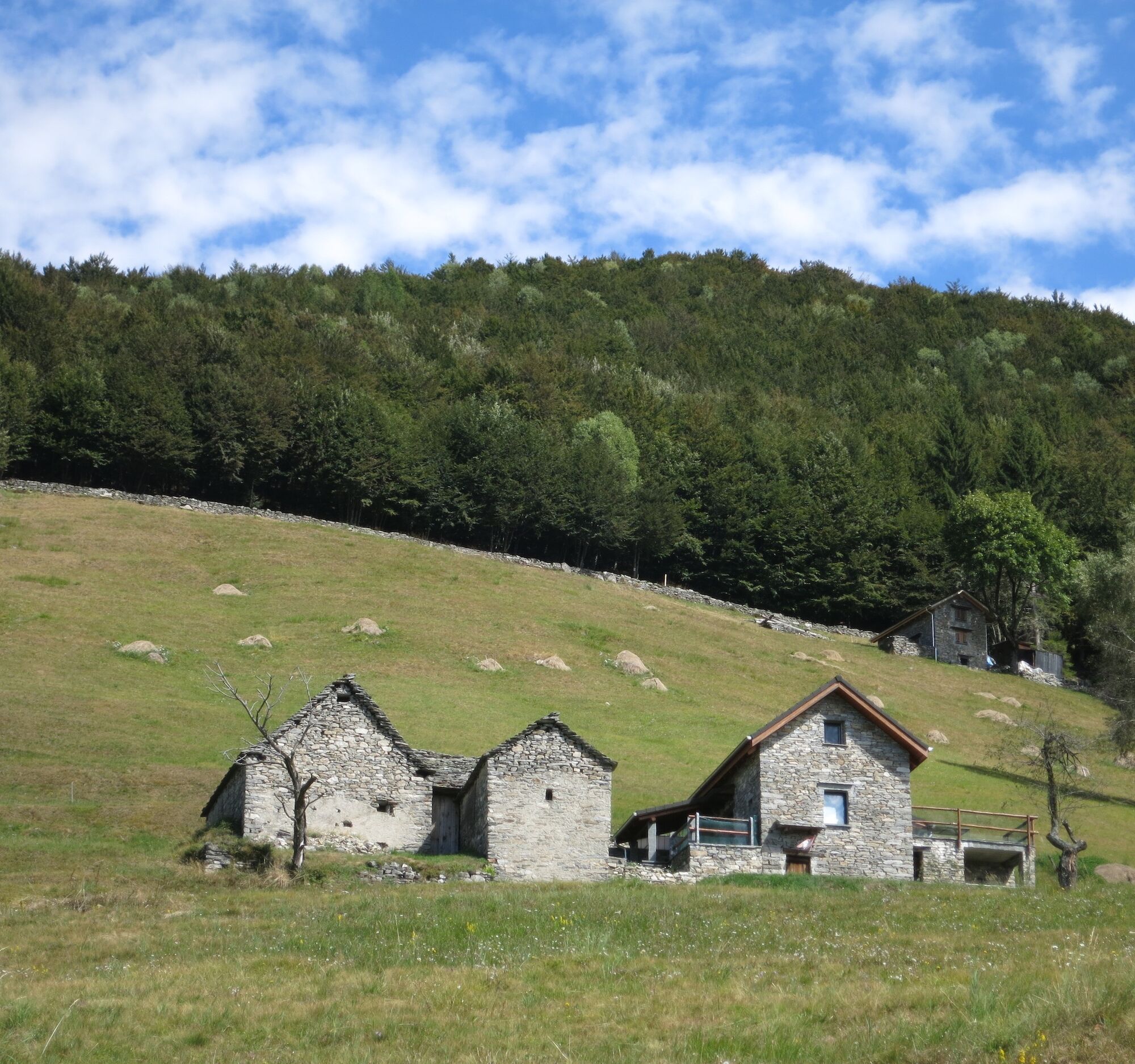
Situated at about 1,200 meters altitude, Monte Comino has a rich variety of fauna and flora. This is due to the soil characteristics, geographic location, as well as the important agricultural activity...
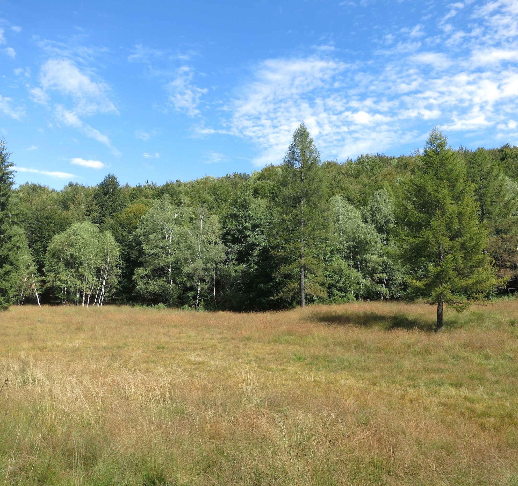
Situated at about 1,200 meters altitude, Monte Comino has a rich variety of fauna and flora. This is due to the soil characteristics, geographic location, as well as the important agricultural activity carried out in past centuries. Areas of particular interest are the Pian Segna peat bog and the inventoried dry meadows/pastures of national importance: in the former there are plant species such as smooth couch grass, dark sedge, marsh violet, tufted hairgrass, as well as sphagnums, cotton-grass, sundew and bright spikerush. Scattered throughout the peat bog are water pools, favorite spots of the red frog, the grass snake, and at least three different dragonflies, including the rare arctic emerald. In spring, the dry meadows and pastures are covered with numerous flowers such as pasqueflower, daffodil, Koch's gentian or elder-flowered orchid. Due to the sparse vegetation and abundant blooming, these meadows host many insects, including butterflies, crickets, and grasshoppers. With some luck, one might encounter the bellagro, a small butterfly with blue wings. Several reptile species complete the picture.
Discover many other walks "Discovering Biodiversity" in the printed guide. Information: www.a-pro.ch


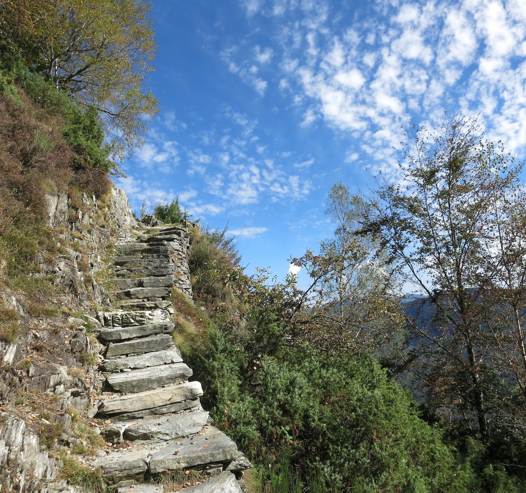
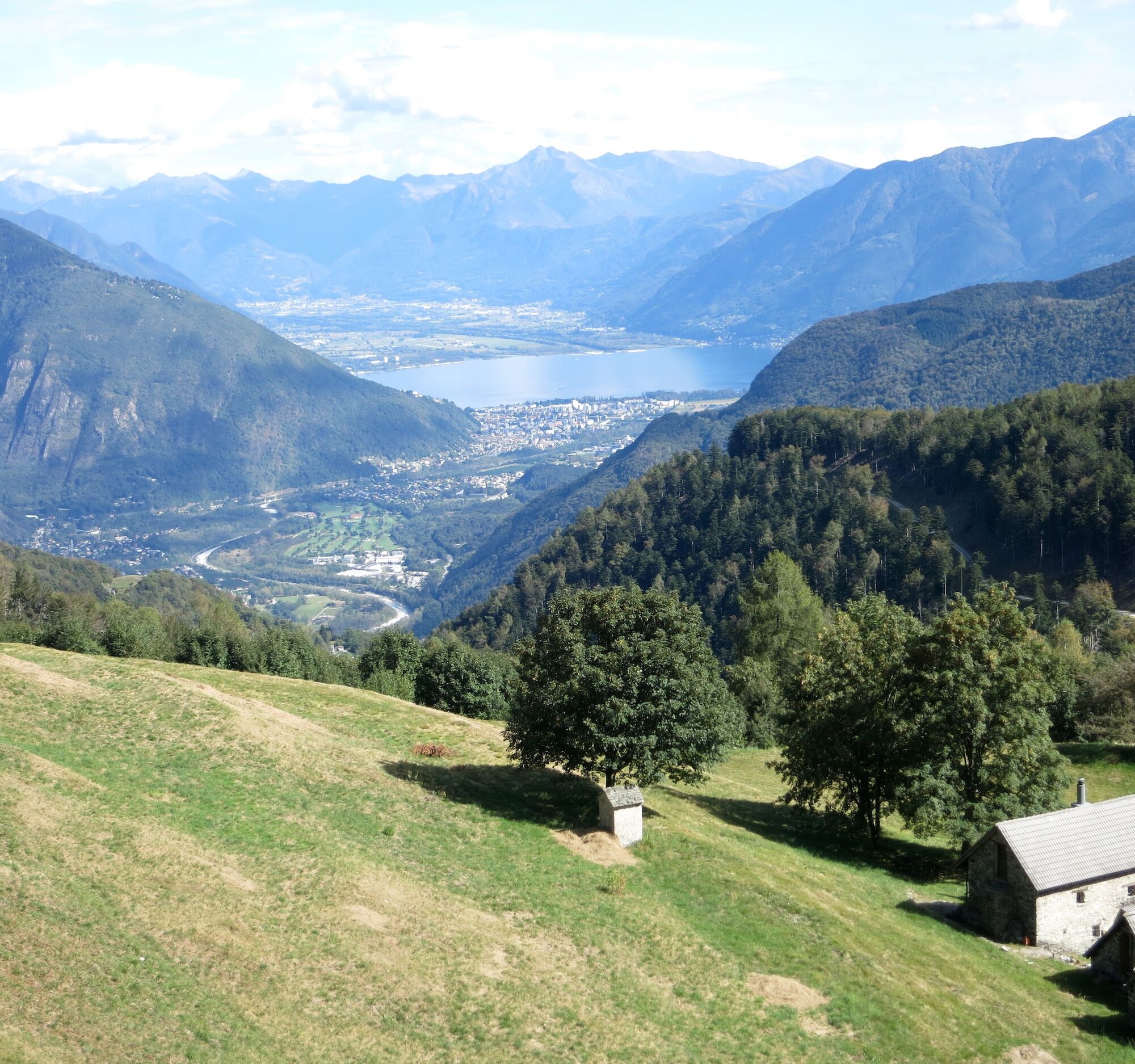
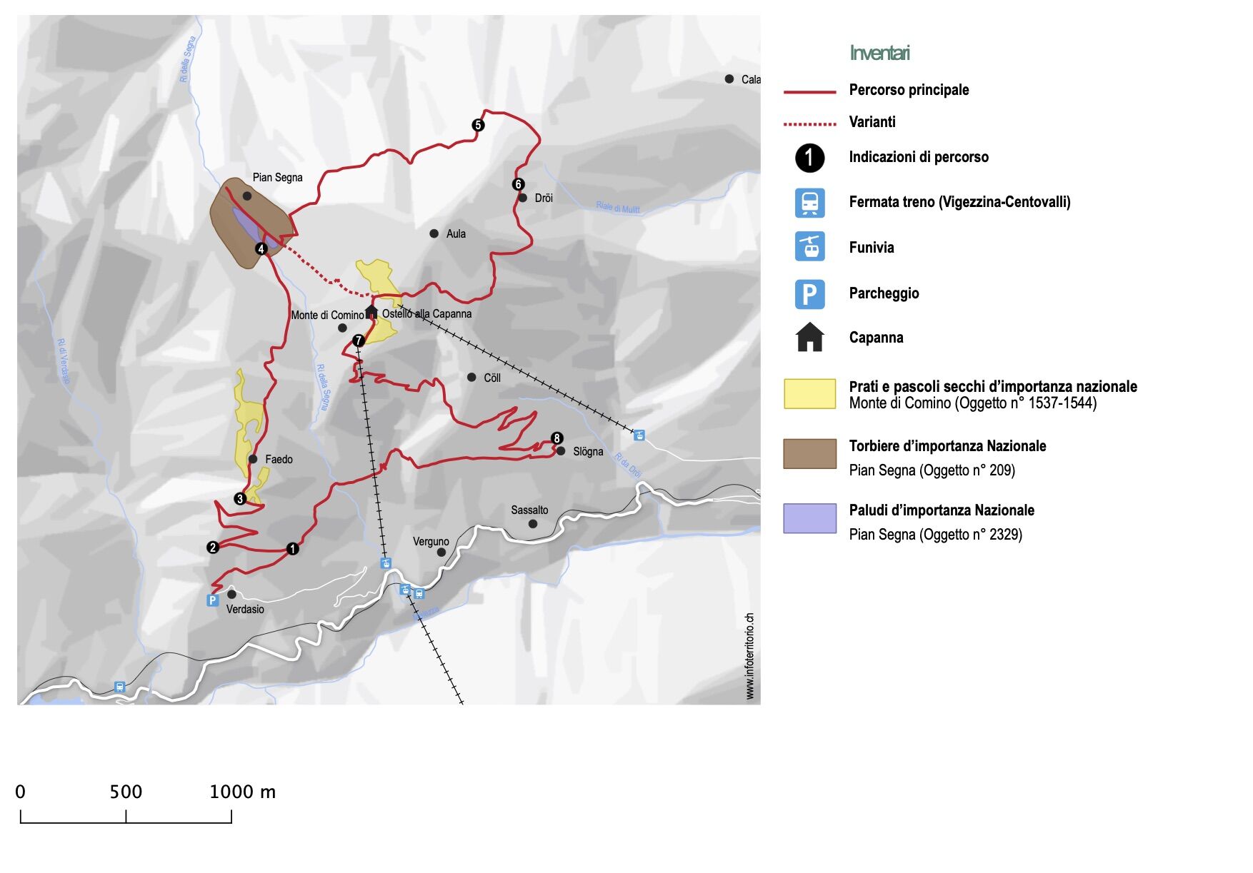
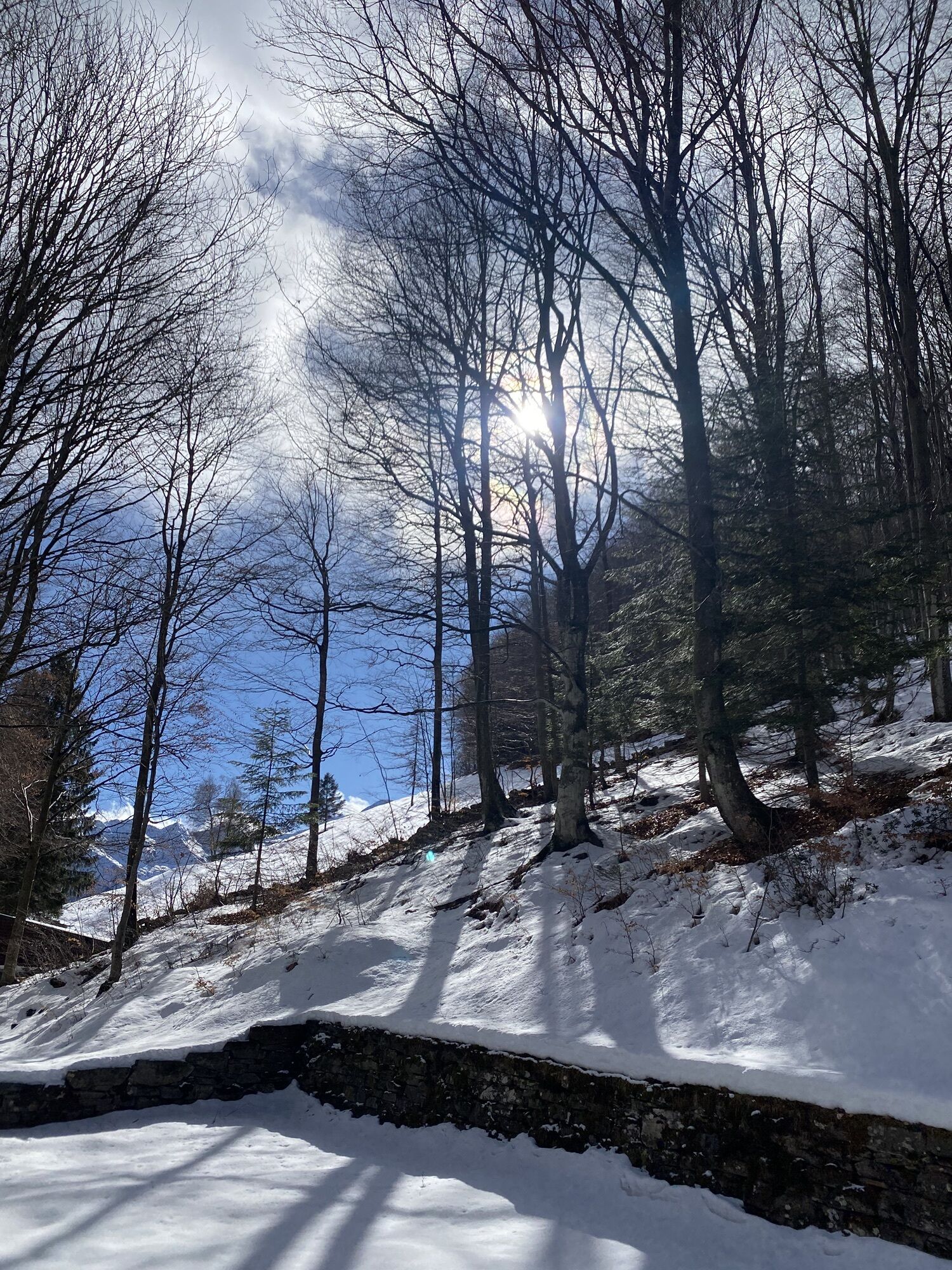
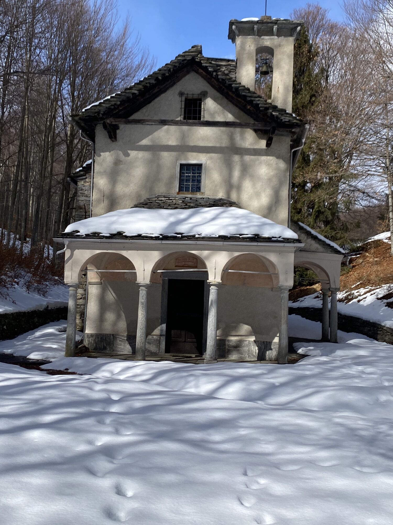
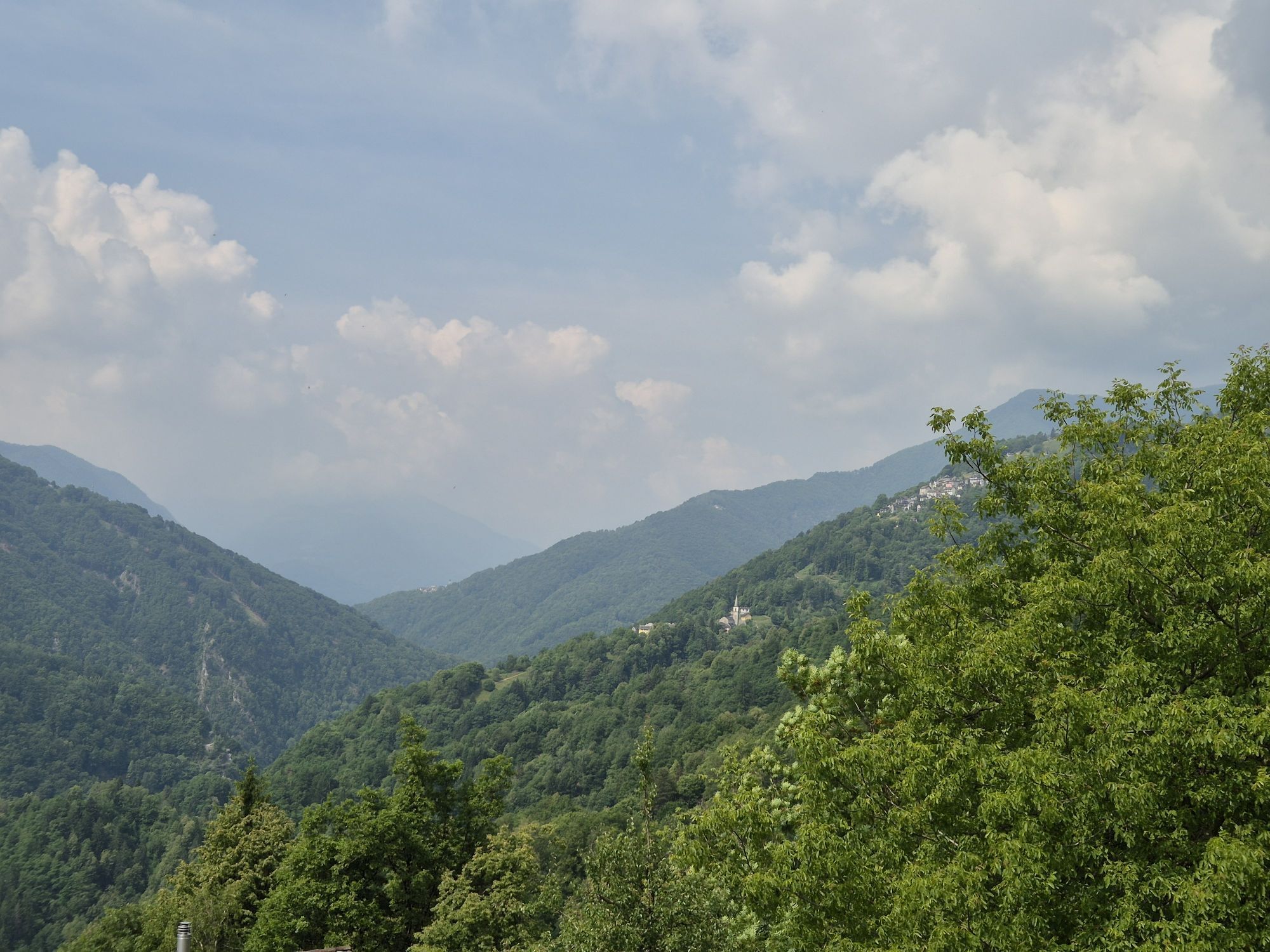
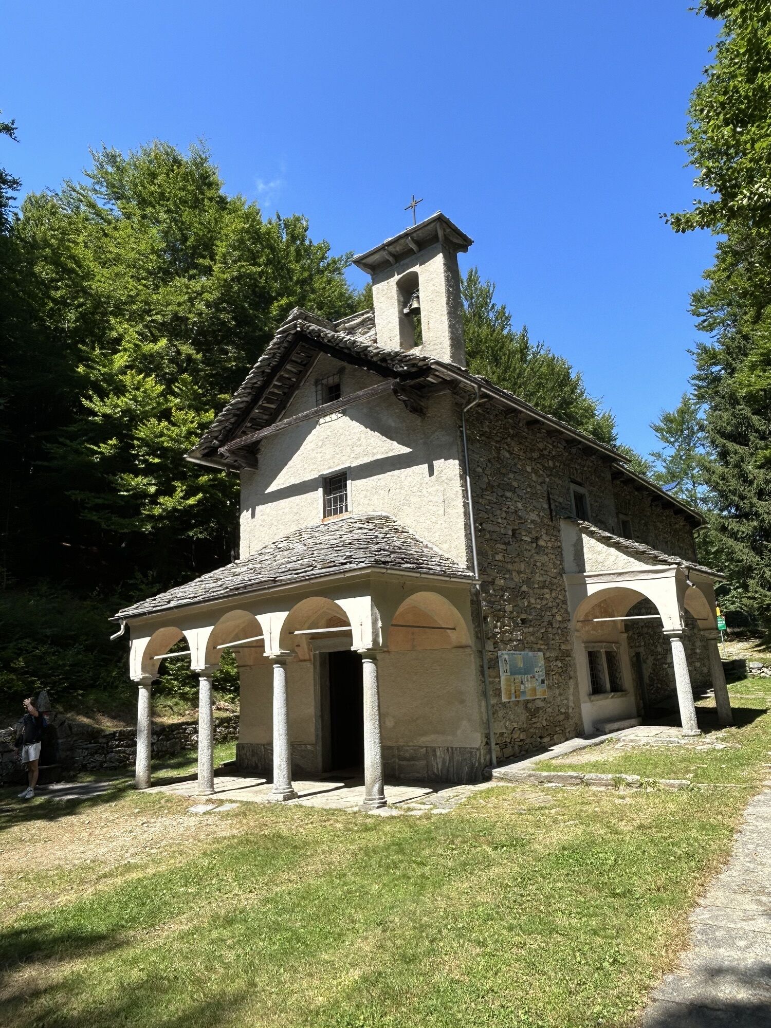
From the village of Verdasio, follow route 631 for a short stretch and then take the path on the left that climbs towards Monte Comino. After some hairpin bends, you enter the first area of dry meadows and pastures of national importance. Follow the signs for Pian Segna and reach the small chapel. Right behind it is the peat bog. Continue towards Calascio, in order to circumscribe Monte Aula clockwise. Pass through the locality of A Dröi (viewpoint) and close the circle, crossing another magnificent meadow area included in the federal inventory of dry meadows and pastures, reaching the upper station of the cable car. To conclude, return to Verdasio on foot or by using the cable car.
Hiking backpack (approx. 20 liters) with rain cover
Sturdy and comfortable shoes
Clothing suitable for weather conditions and durable, layering principle and optionally trekking poles
Protection from sun and rain
Provisions and drinking water
First aid kit
Pocket knife
Mobile phone, optionally headlamp
Map material
Swiss Trails - Safe Hiking
Centovallina from Locarno, direction Camedo. Timetables www.sbb.ch
T2
Hiking daypack (approx. 20 liters) with rain cover
Comfortable and sturdy footwear
Adequate and durable outdoor clothing in multiple layers
Telescope sticks if necessary
Sun and rain protection
Snacks and drinking water
First aid kit
Penknife
Mobile phone, headlight if necessary
Maps
Popularne wycieczki w okolicy
-
5,0
Valle del Salto round route (SvizzeraMobile 611)
średniWędrówka 8,84 km -
4,8
Avegno-Ponte Brolla-Avegno
średniWędrówka 8,56 km -
3,8
Cannobio zu Sant’Aagata
światłoWędrówka 5,85 km -
4,0
Cardada Bike (SwitzerlandMobility 397)
ciężkiMountainbike 30,6 km -
Maggia-Someo-Maggia
światłoWędrówka 15,5 km -
Cardada-Cimetta-Alpe Vegnasca-Cardada
średniWędrówka 6,86 km -
Via Alta Vallemaggia - 1st stage: Cimetta-Capanna Alpe Nimi
ciężkiWędrówka 10,2 km -
4,5
Sculpture Trail
światłoTrasa tematyczna 2,49 km -
5,0
Spruga-Alpe Saléi-Comologno
średniWędrówka 8,96 km -
4,7
Tegna-Castelliere-Ponte Brolla-Tegna
średniWędrówka 4,63 km
Wędrówki i tropienie


Nie przegap ofert i inspiracji na następne wakacje
Twój adres e-mail została dodana do listy mailingowej.