







Tremola and Gotthard Pass northwards

Poziom trudności: 2
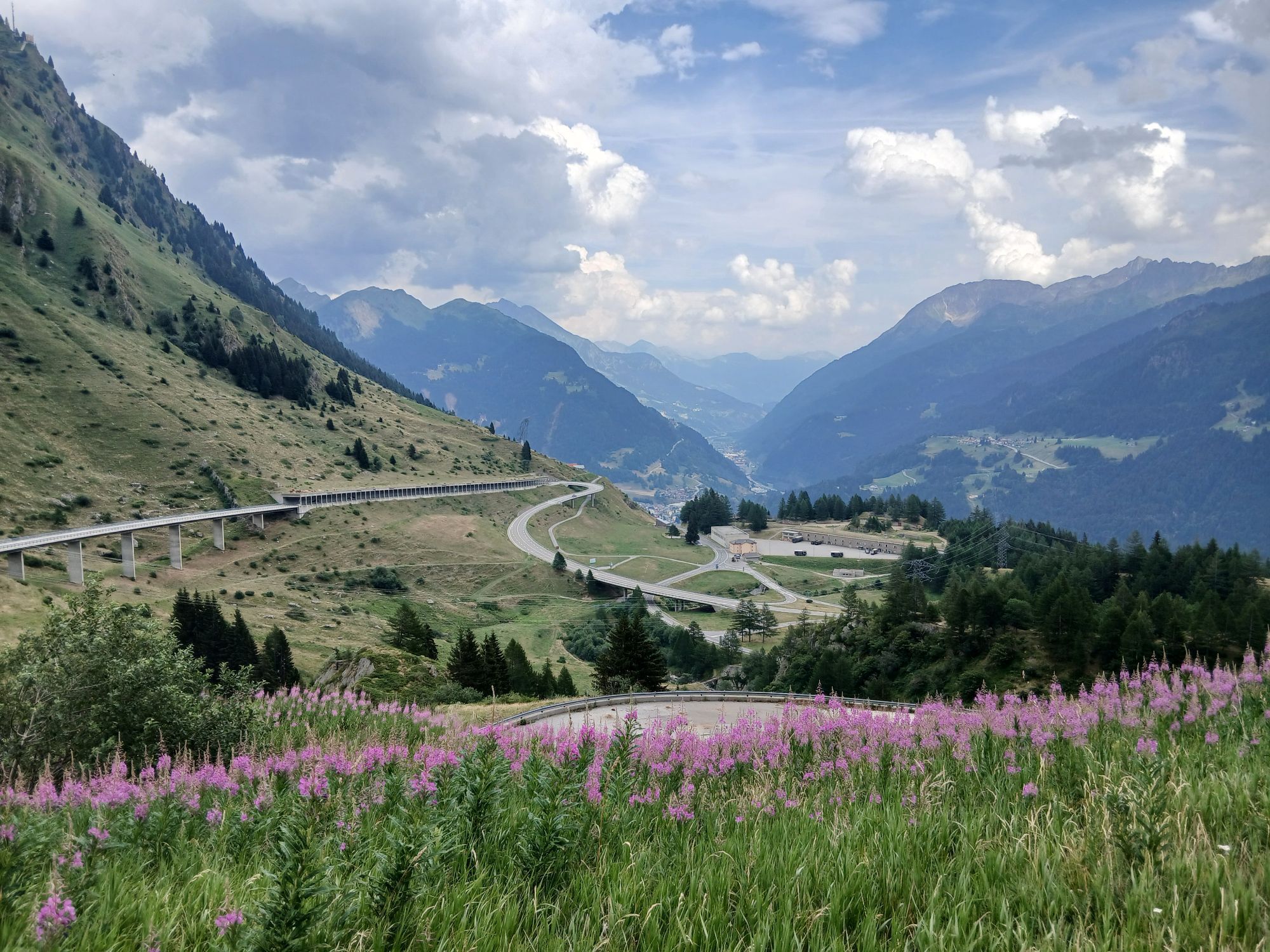
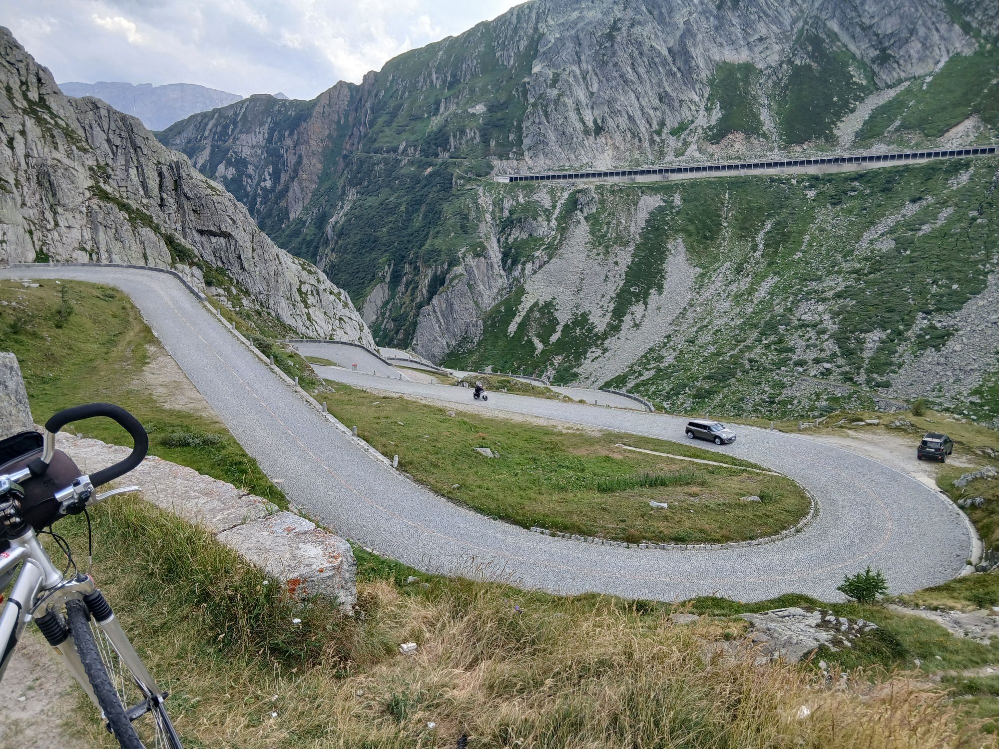
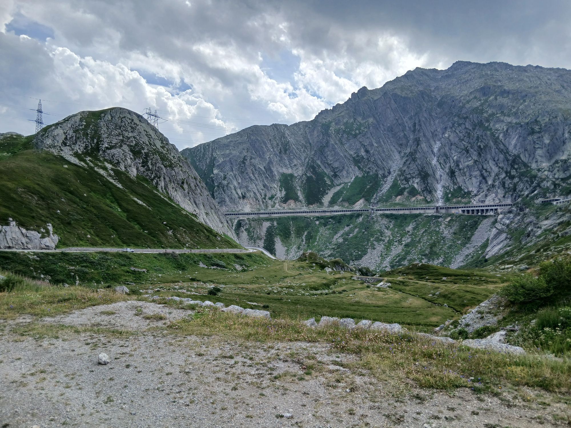
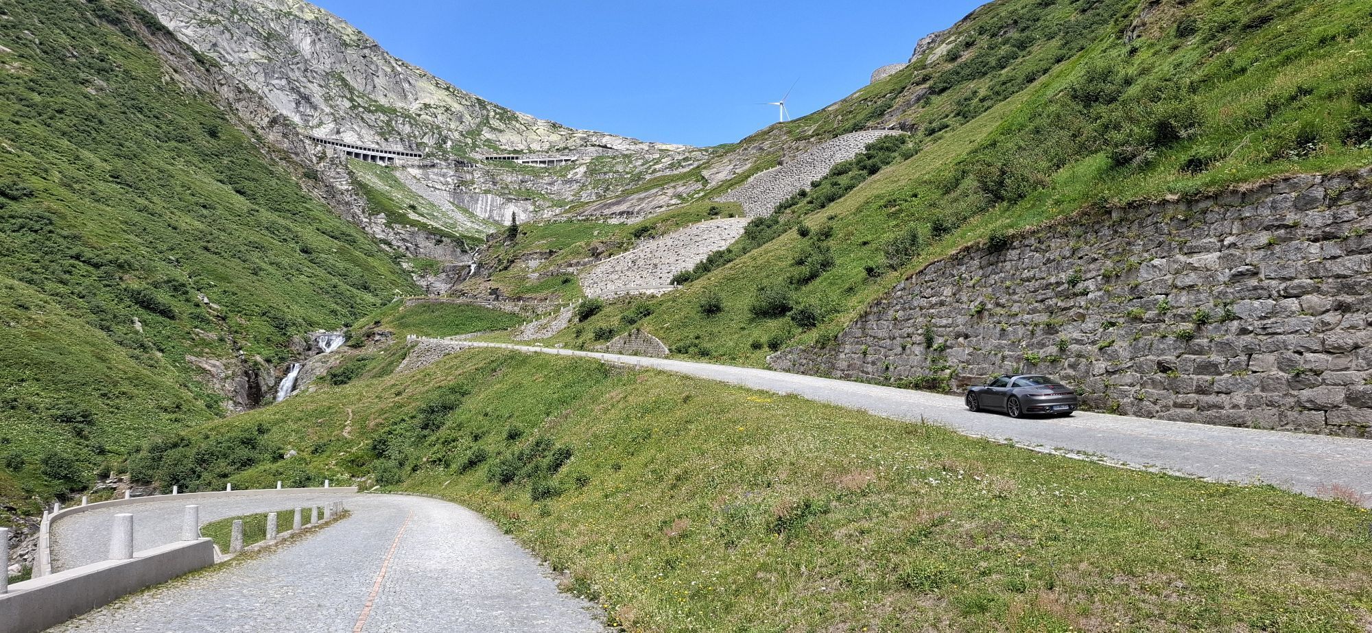
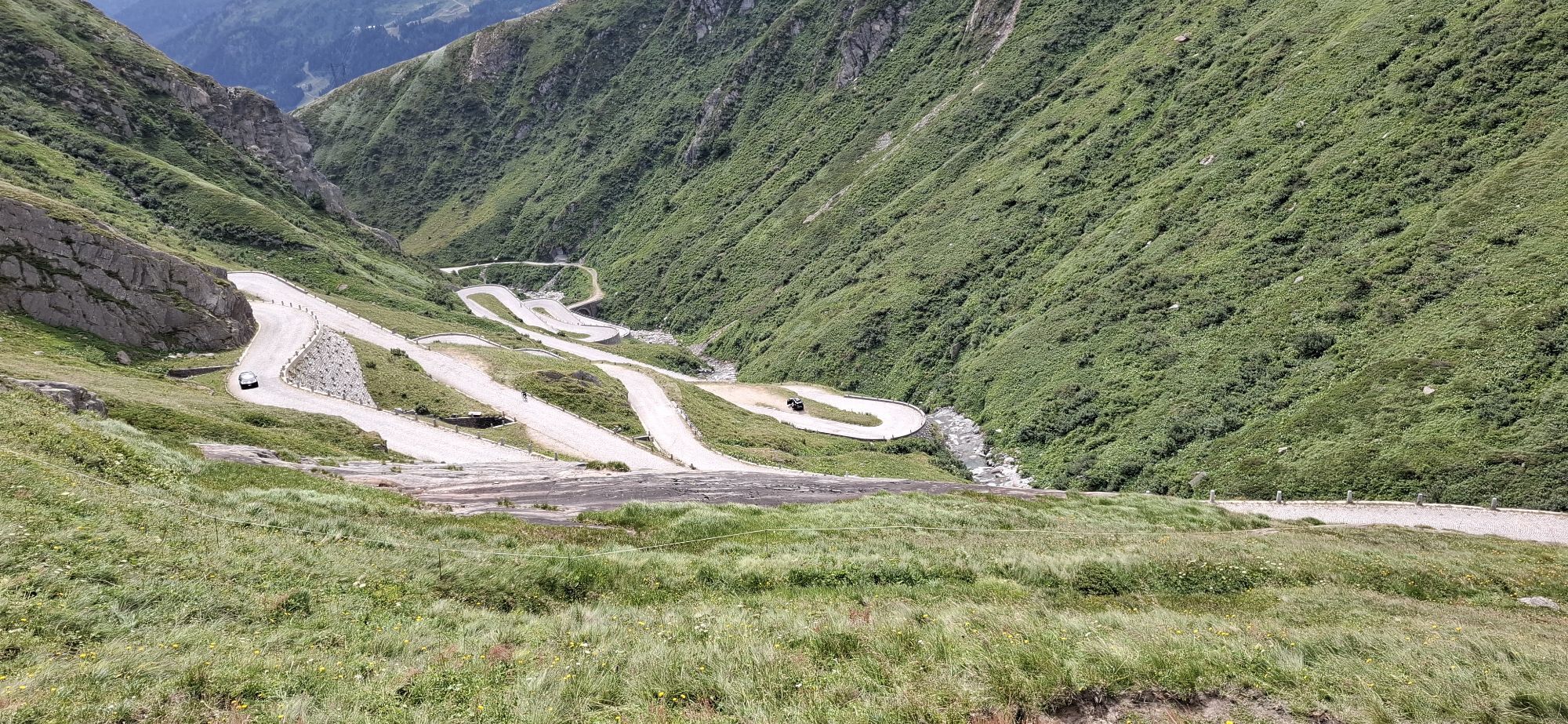
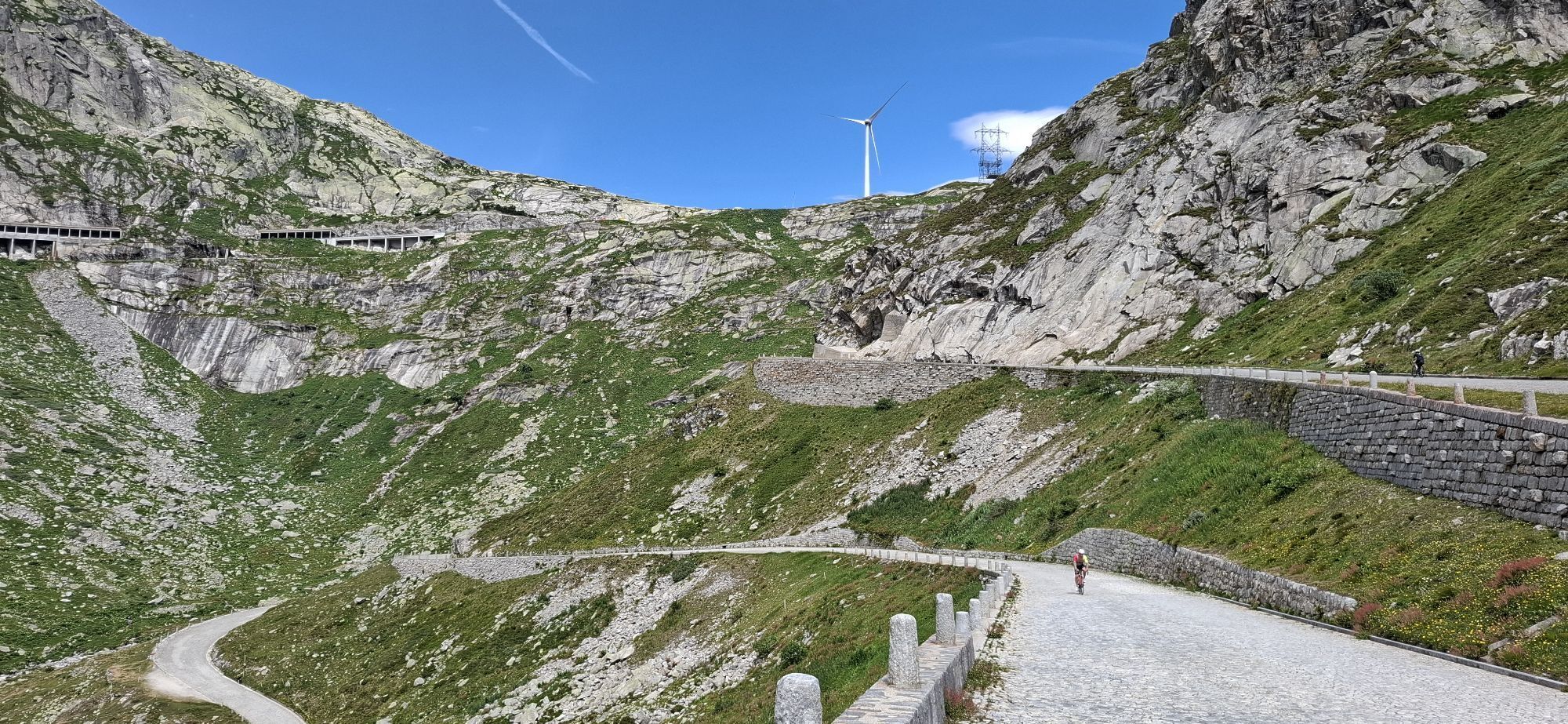
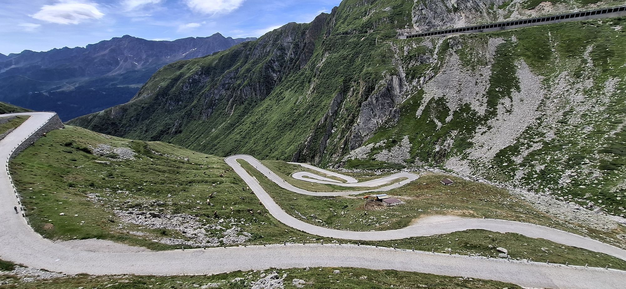
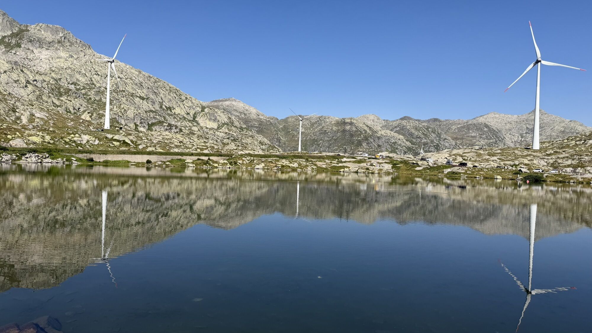
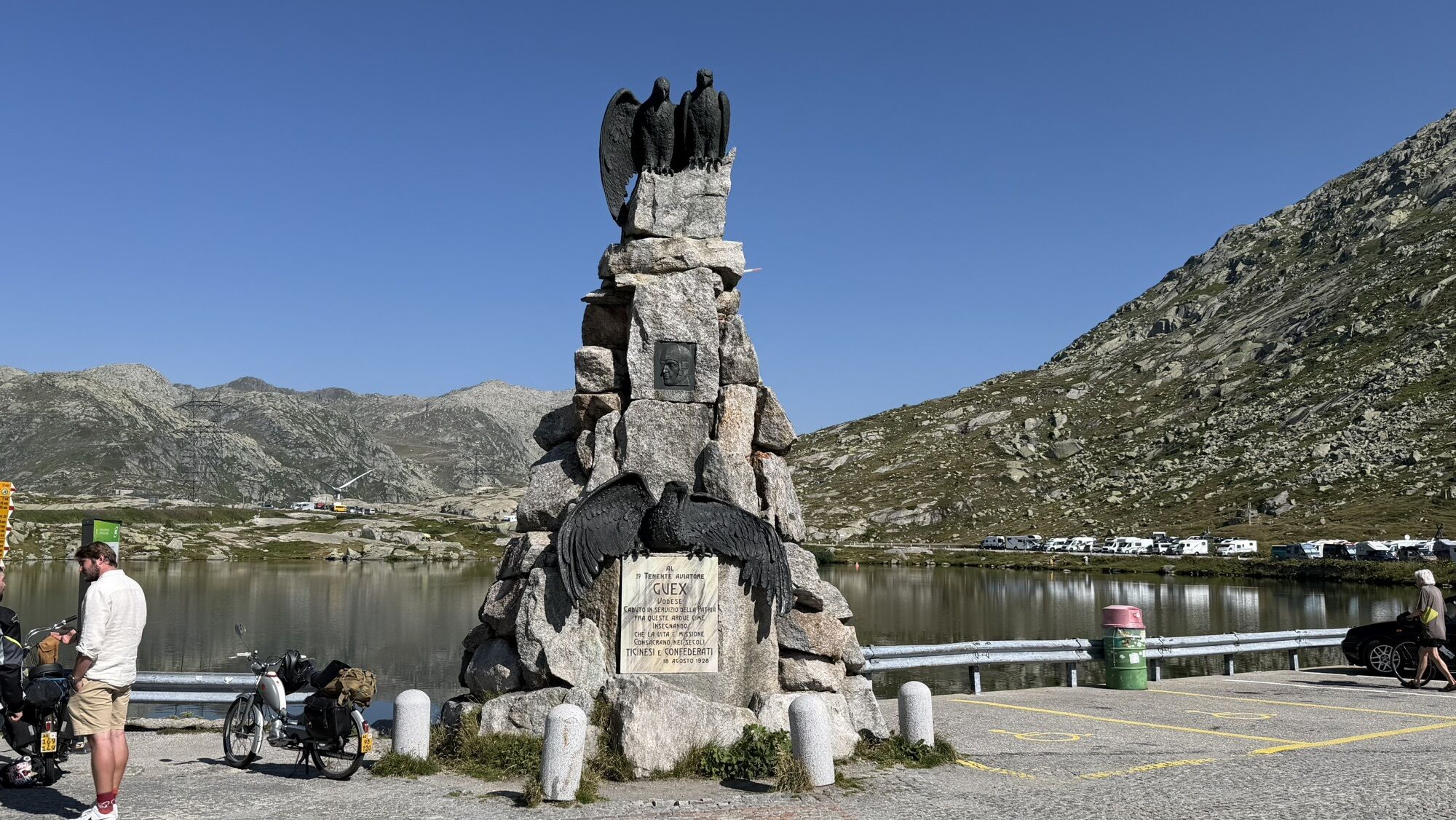
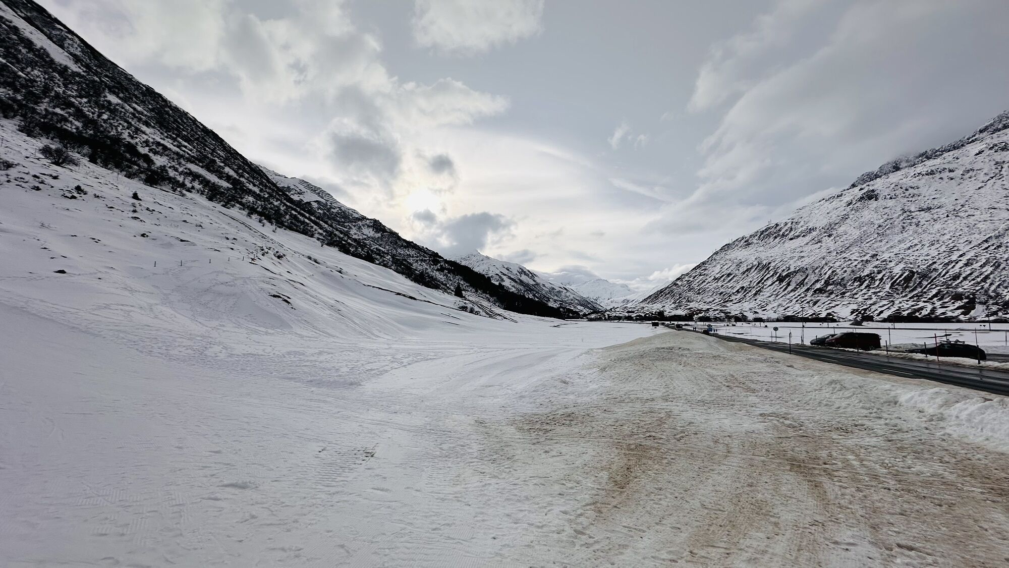
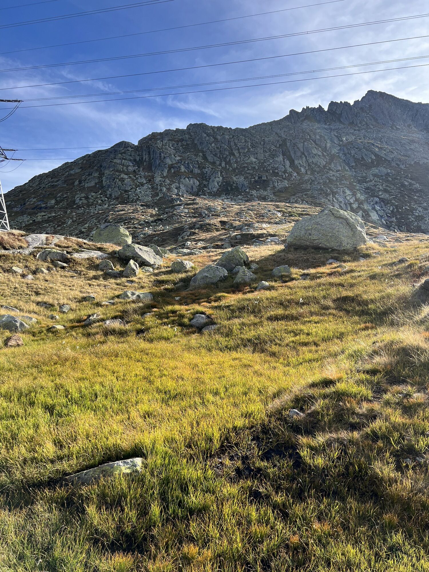
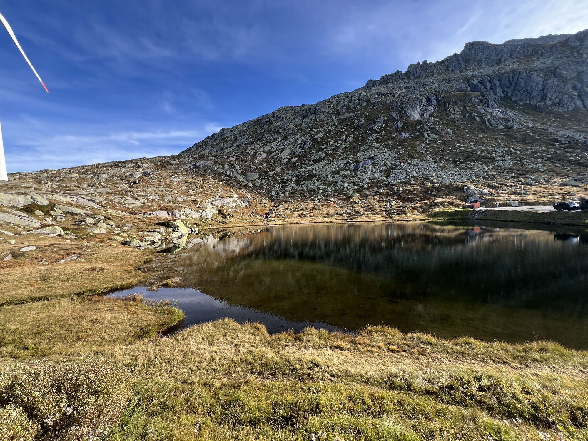
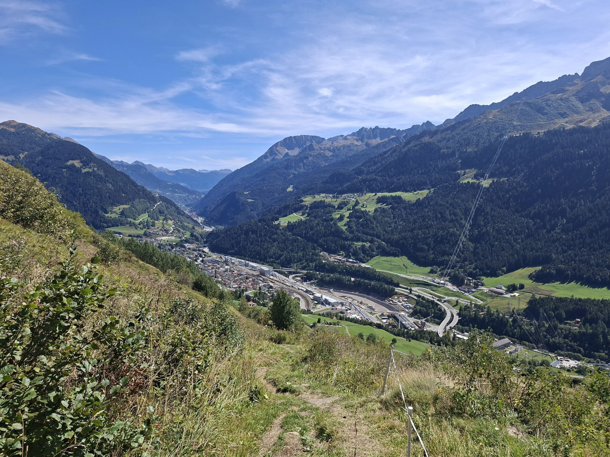

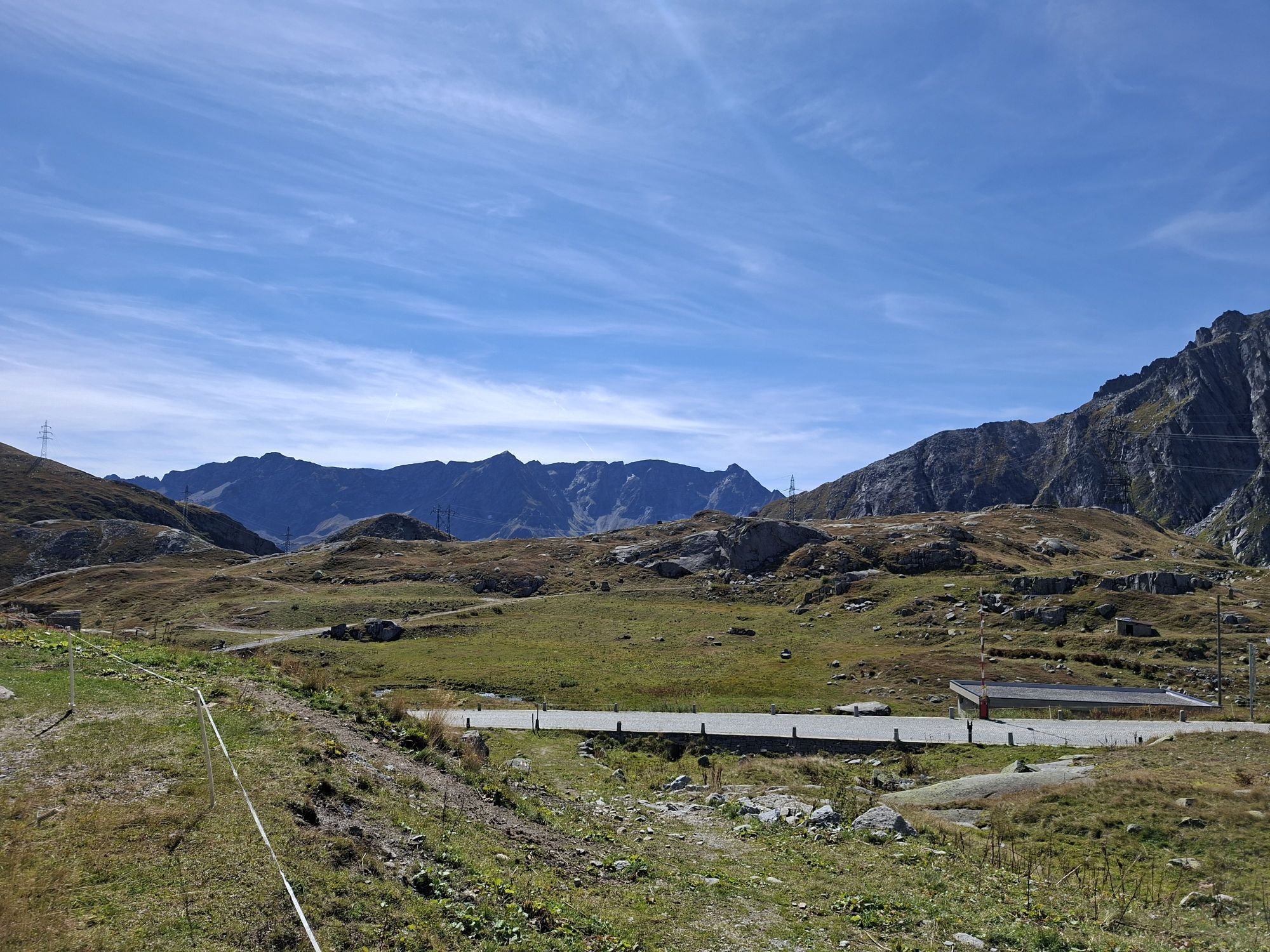
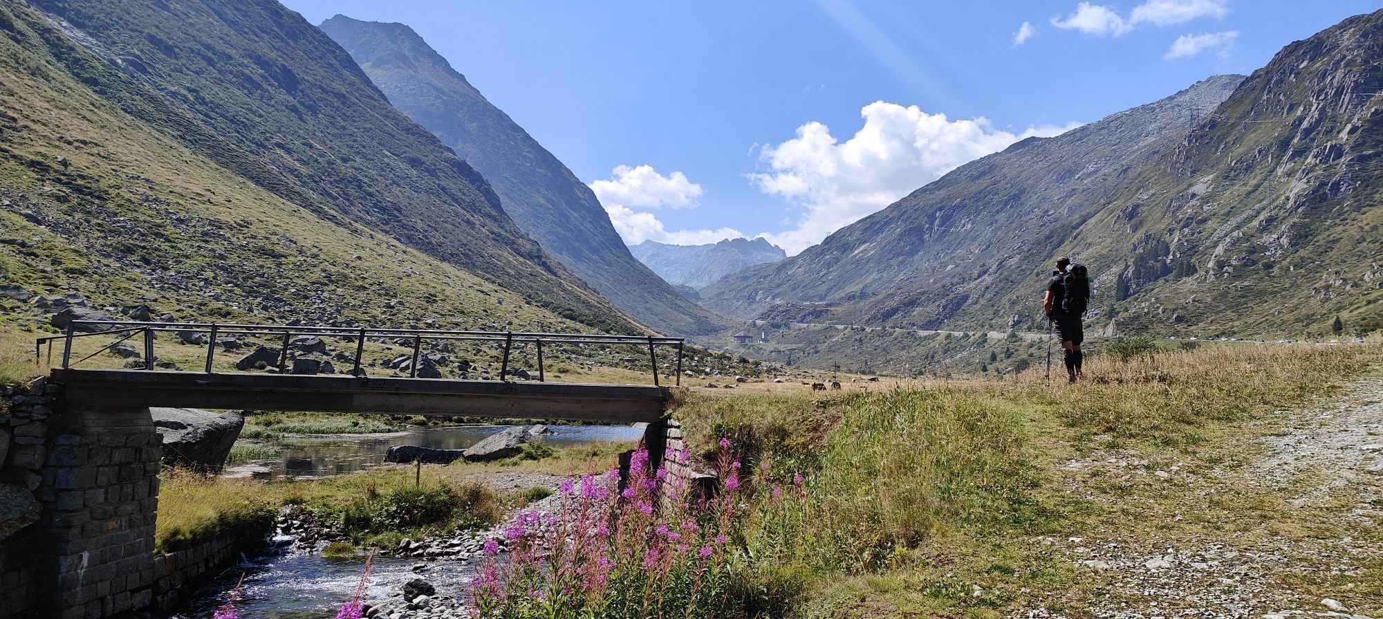
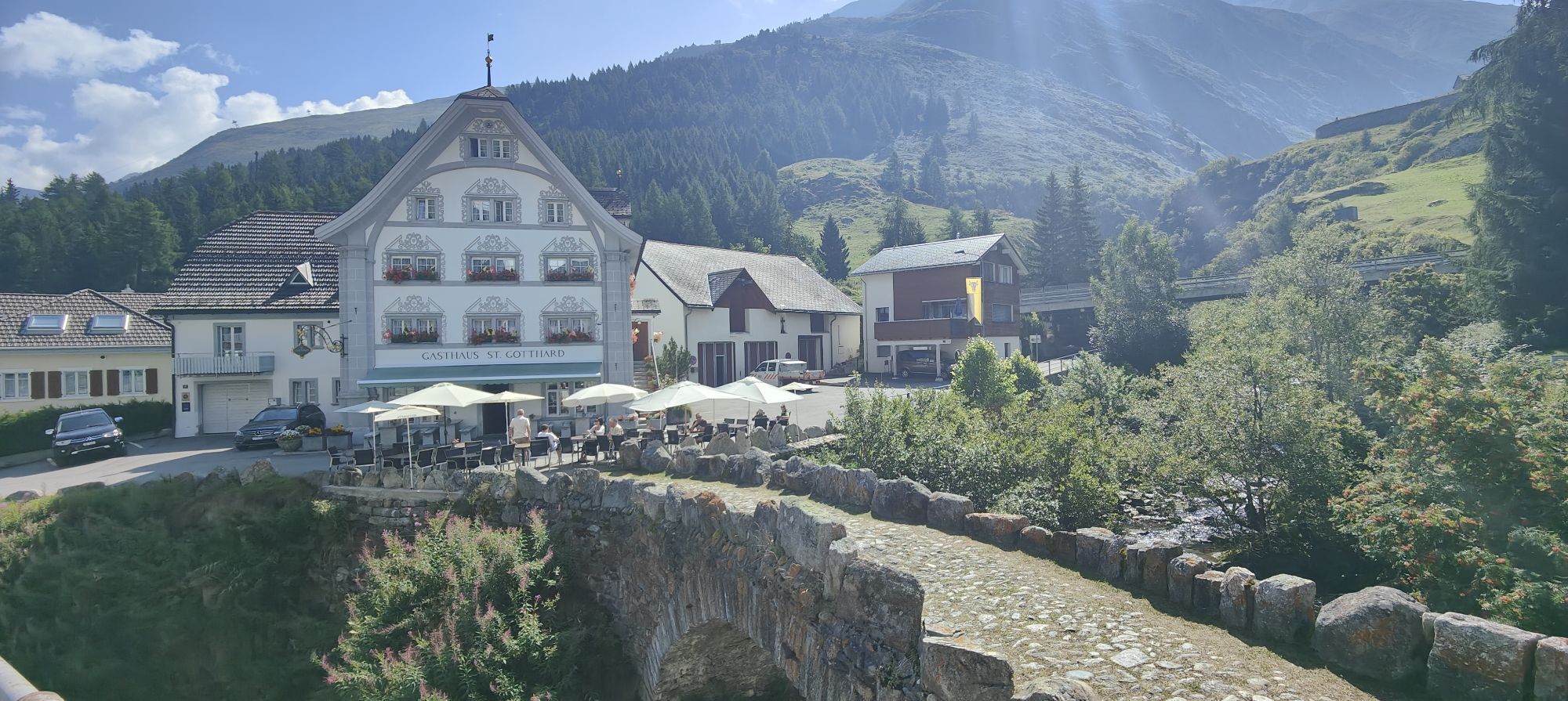
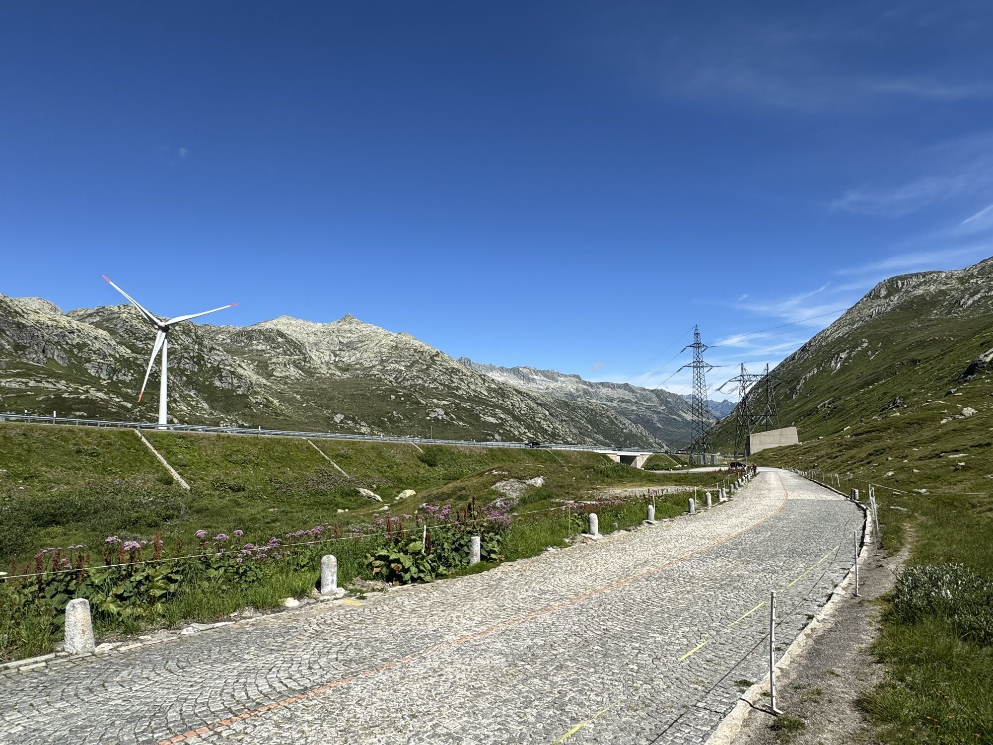
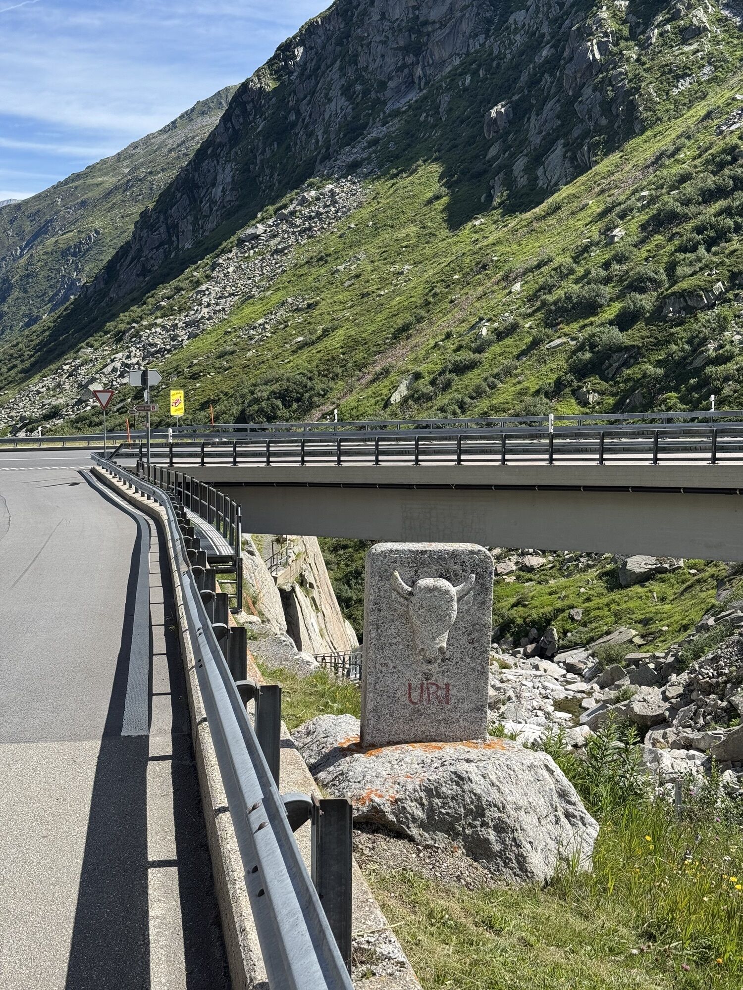
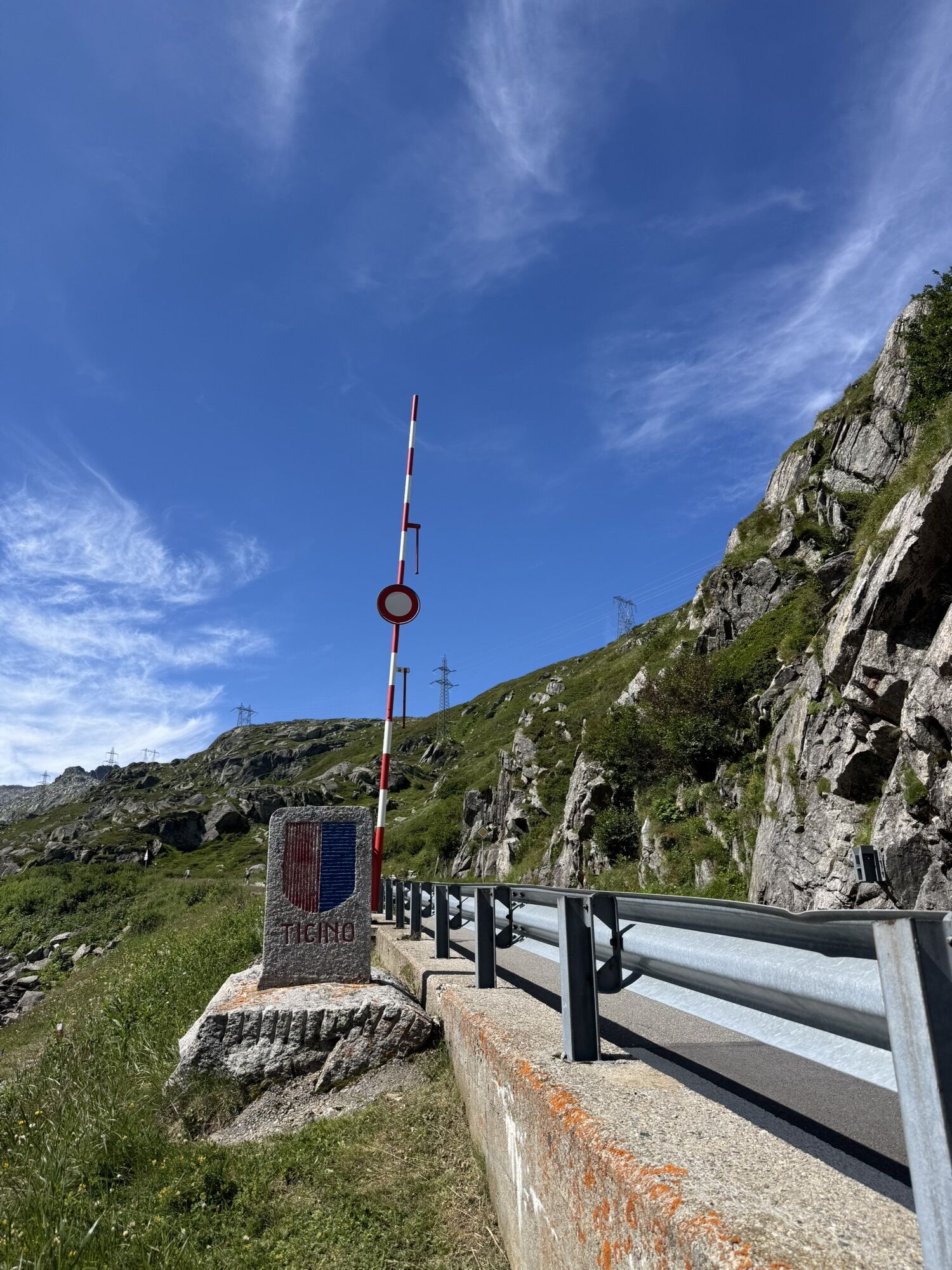
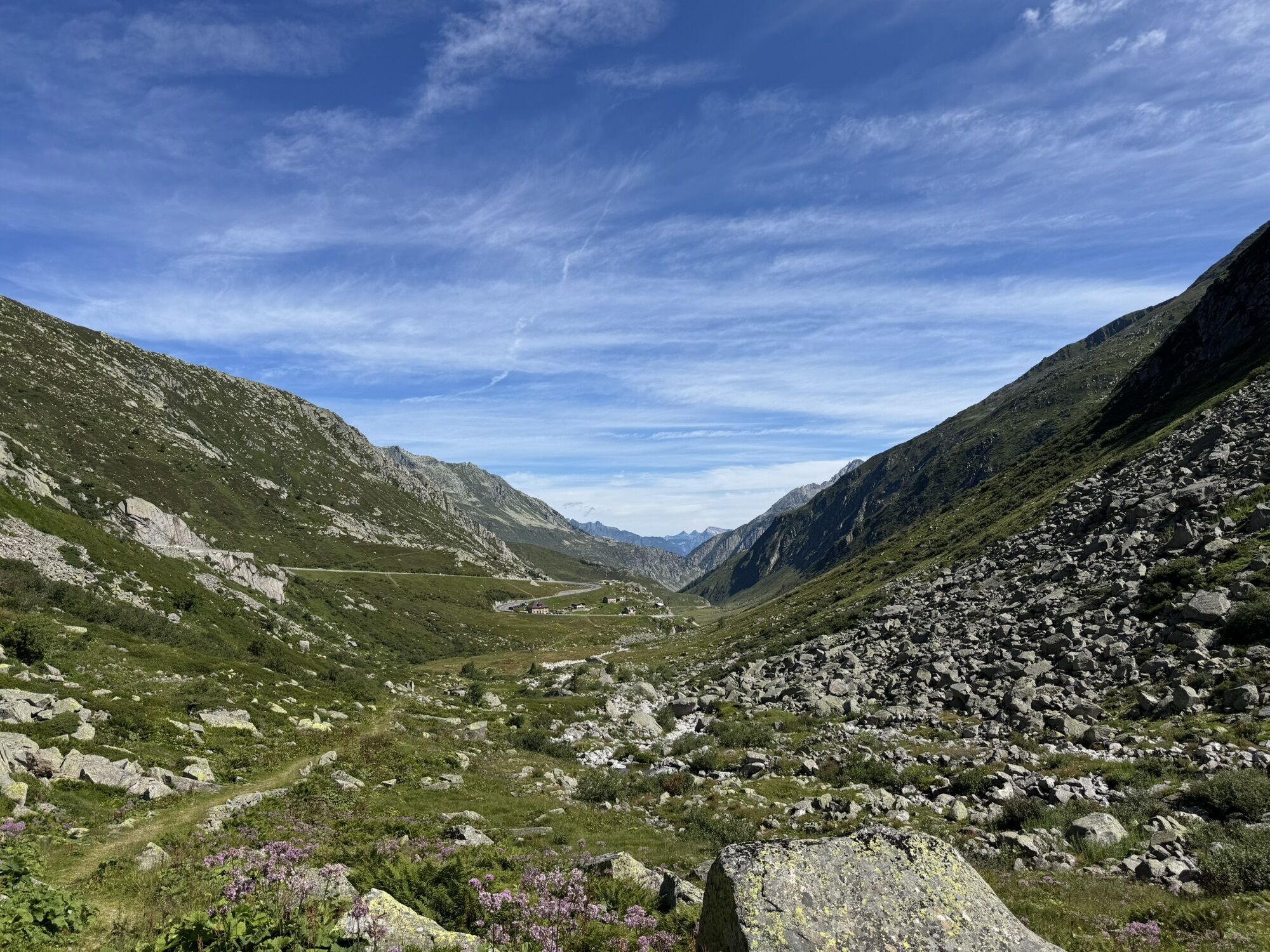
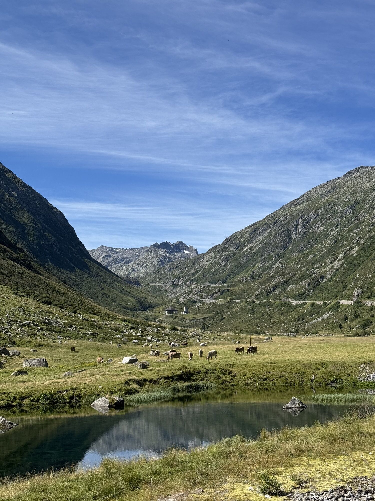
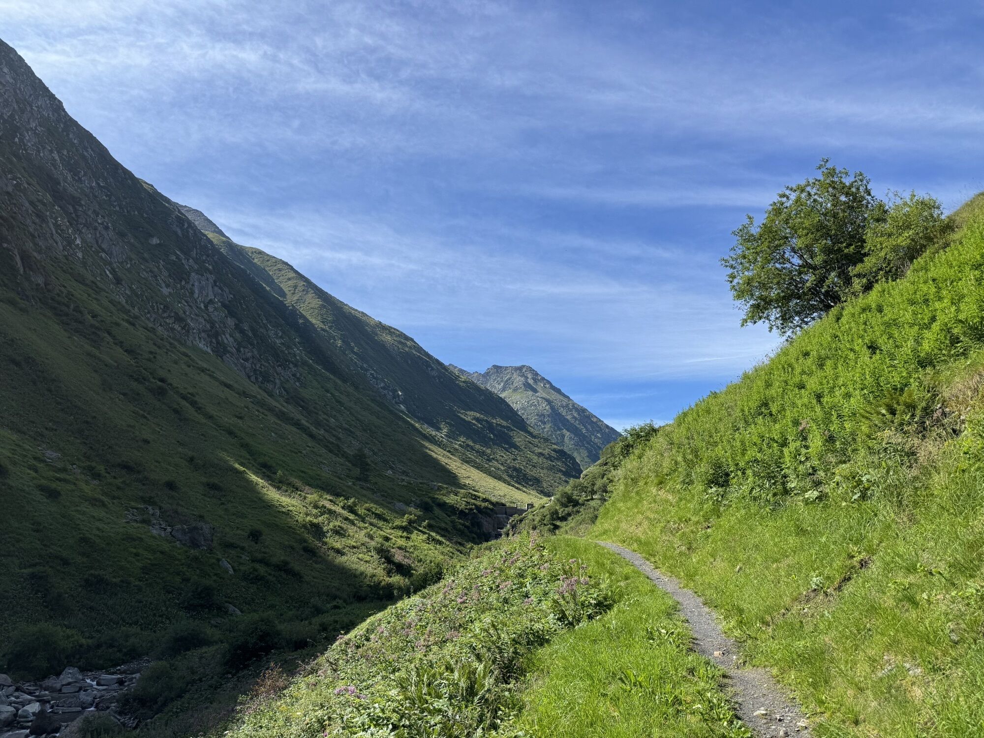
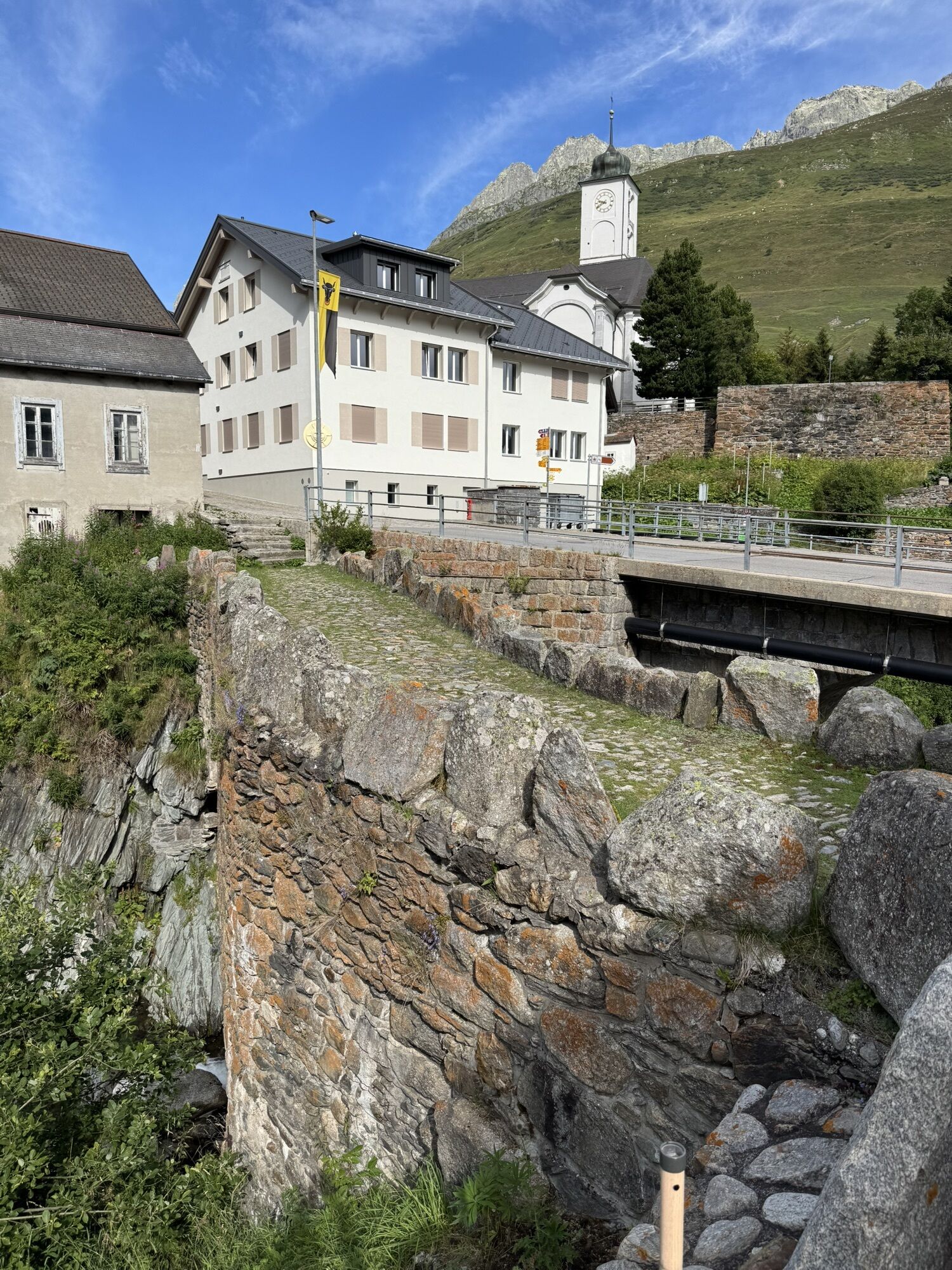
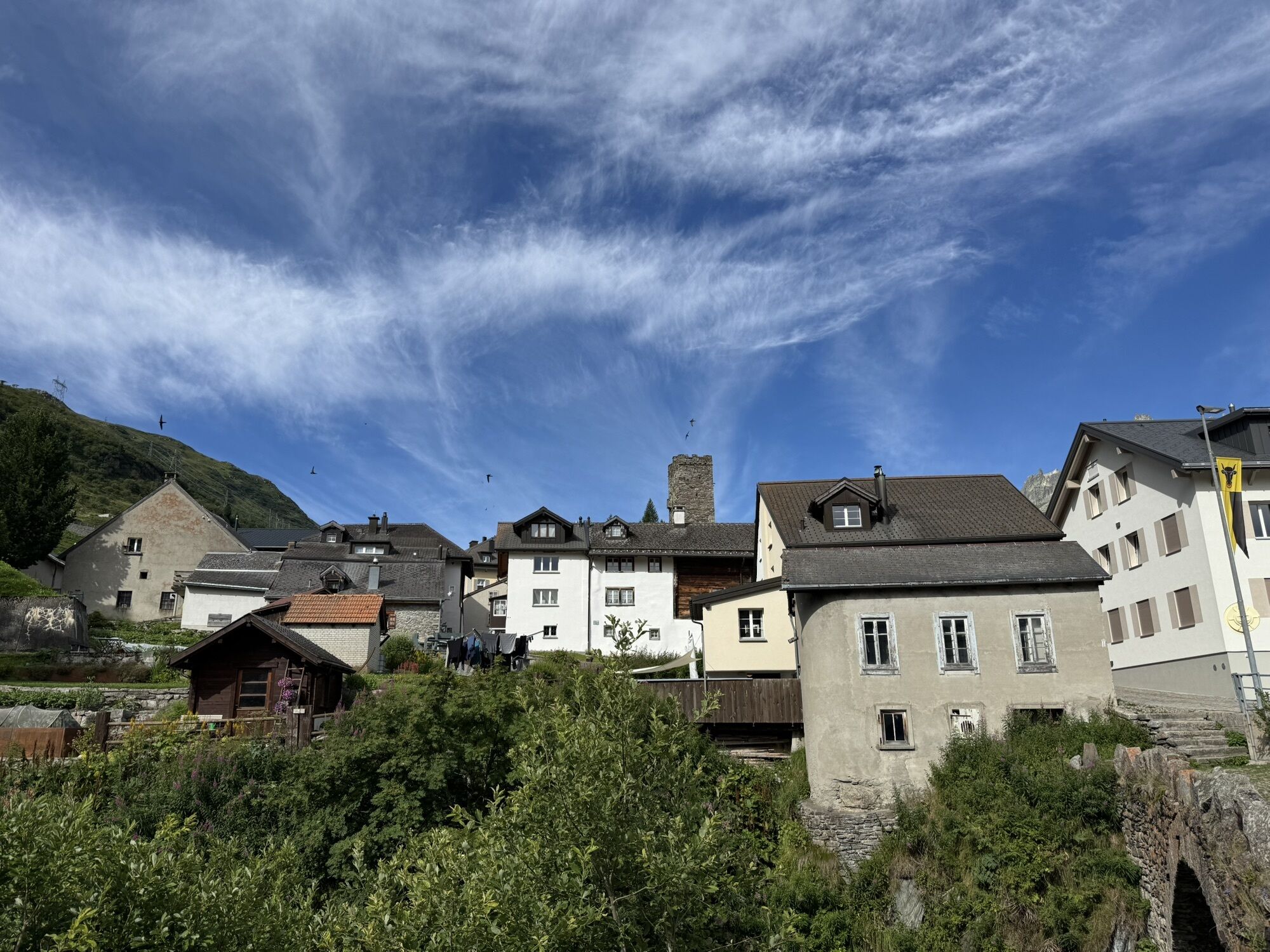
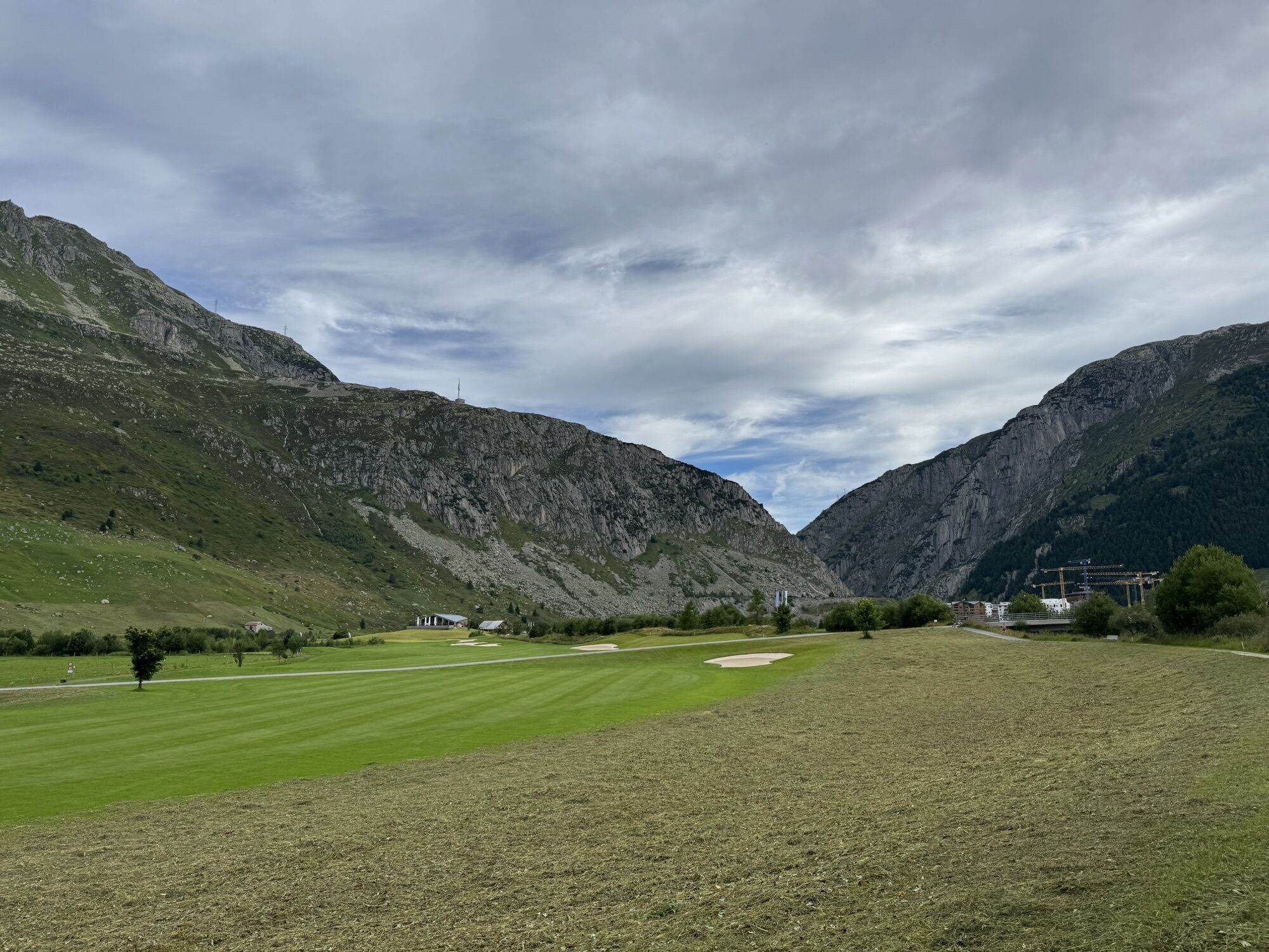
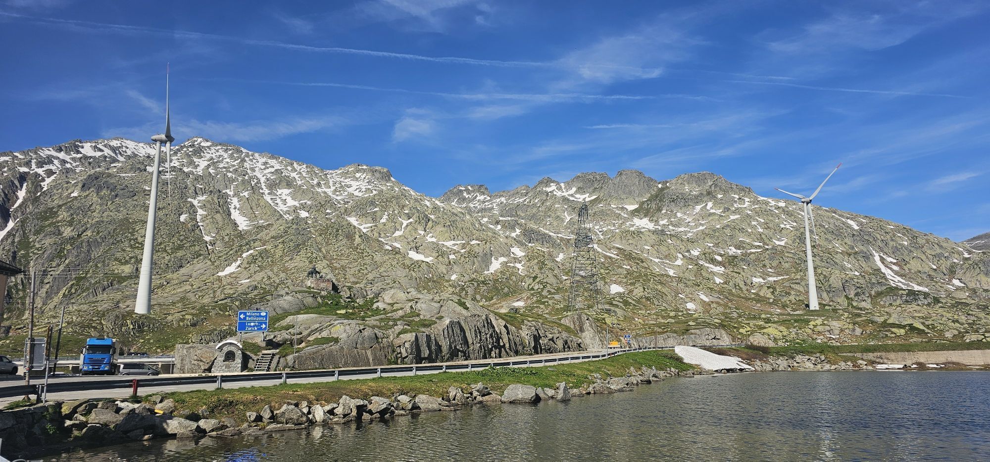
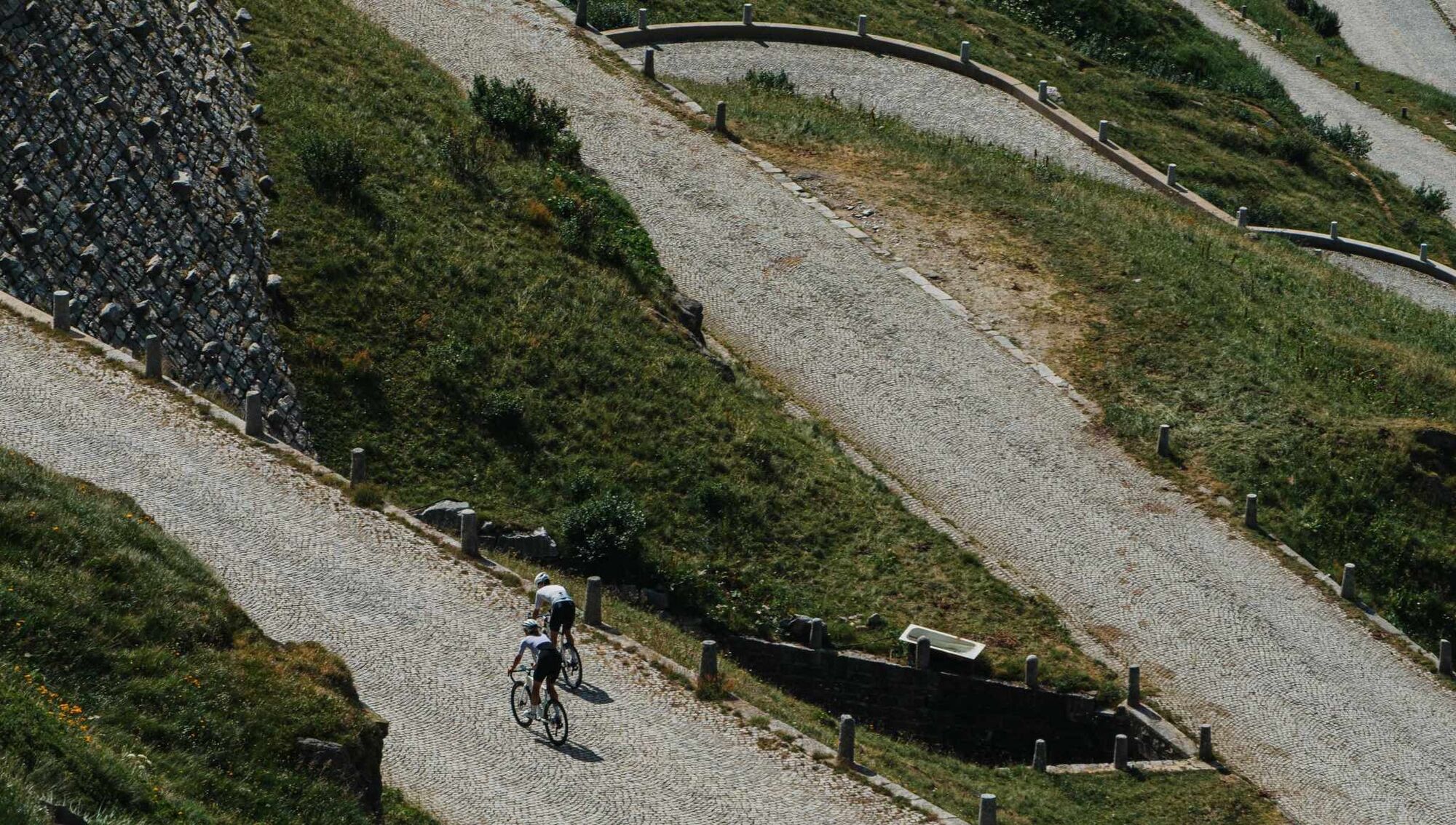
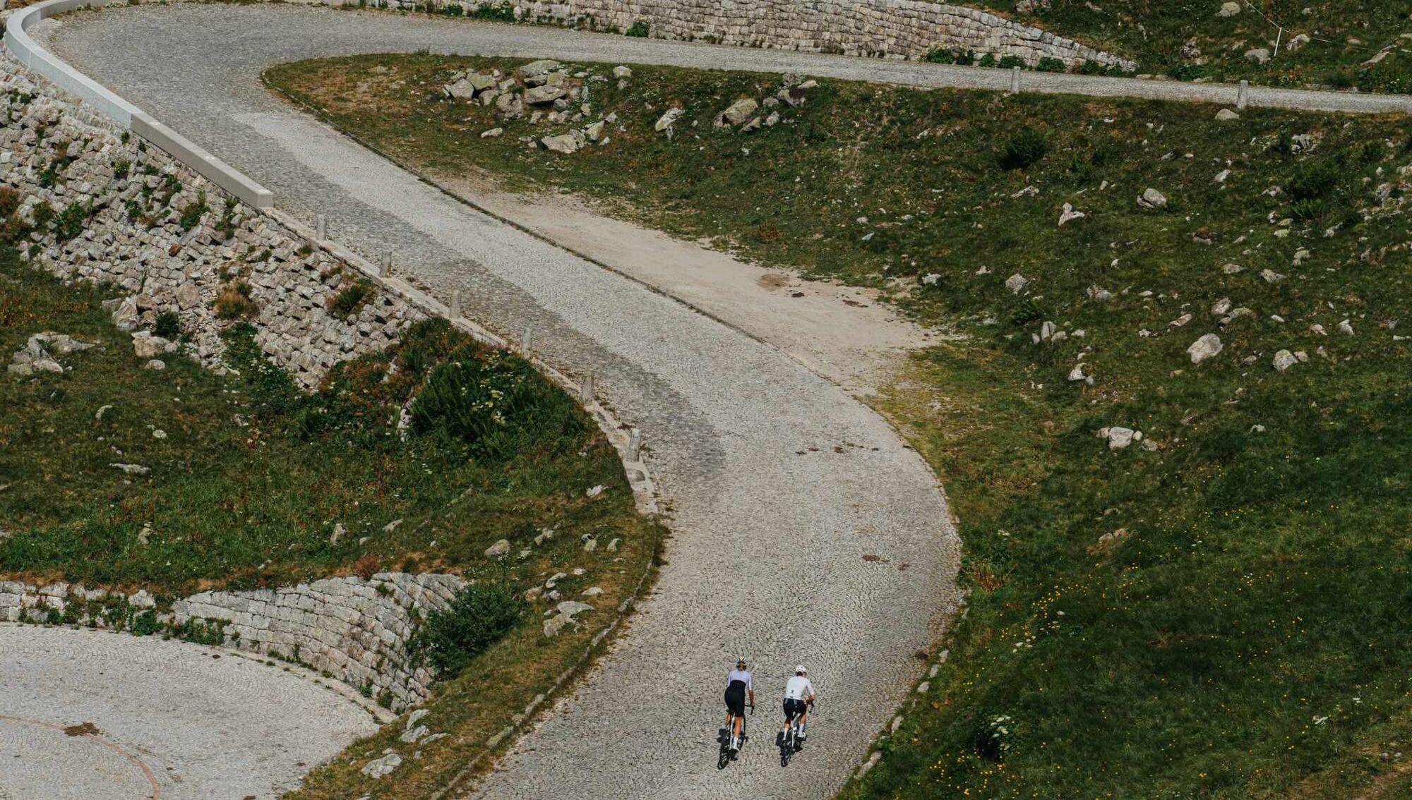
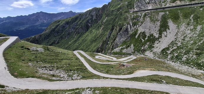
From Airolo the route takes you through the Tremola Valley, where the namesake cobbled road winds through 37 hairpin bends over about 900 meters of elevation gain. It was built in 1830 as a commercial...
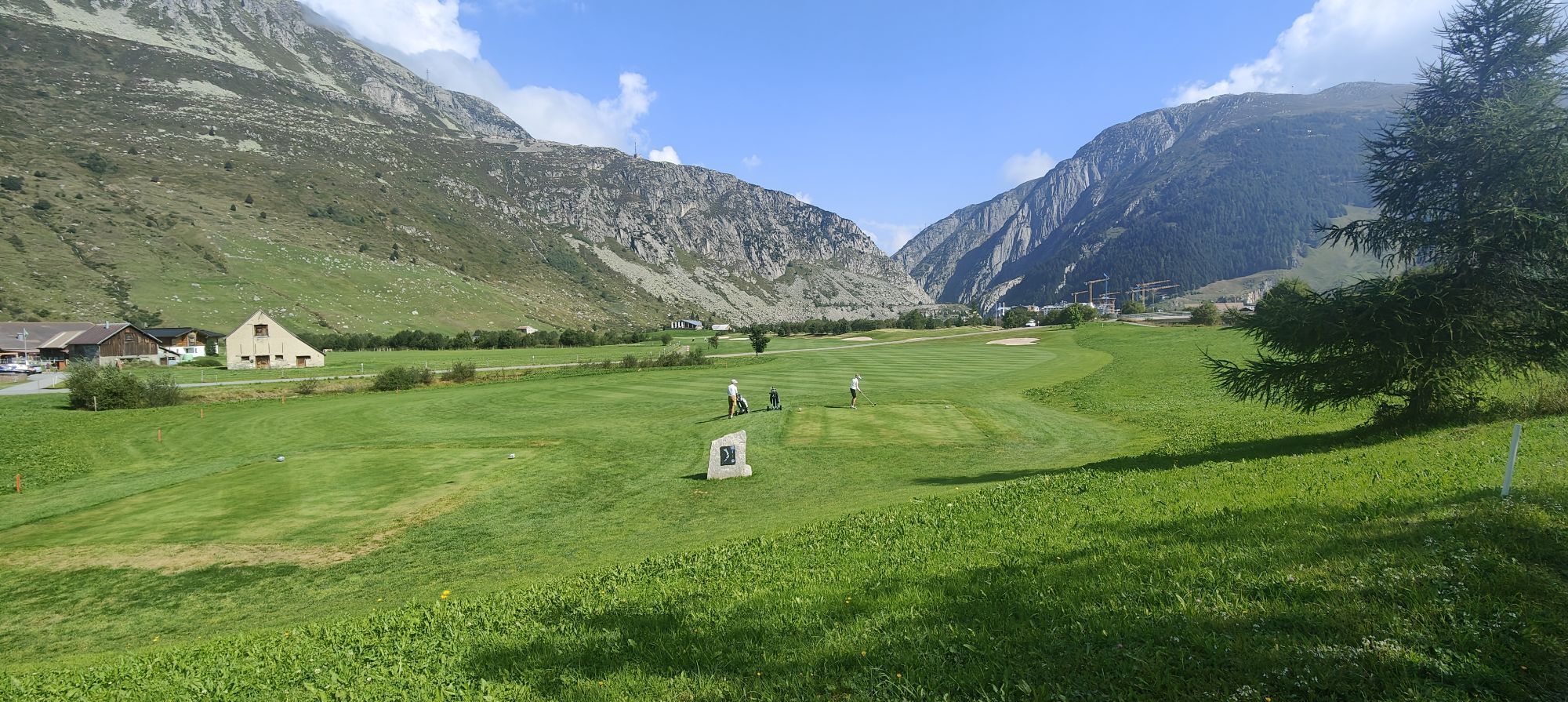
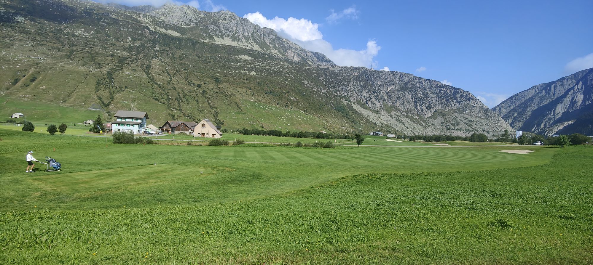
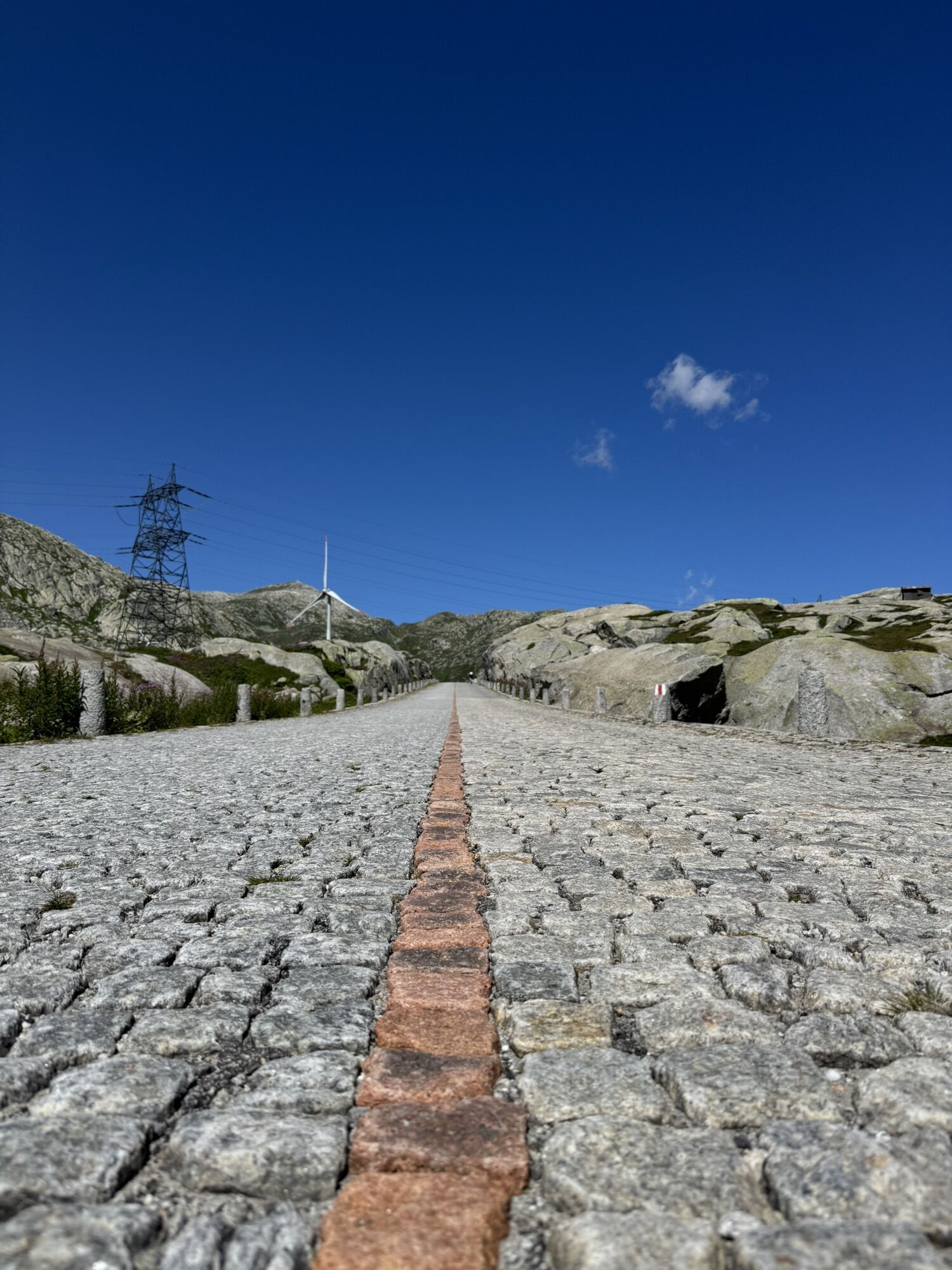
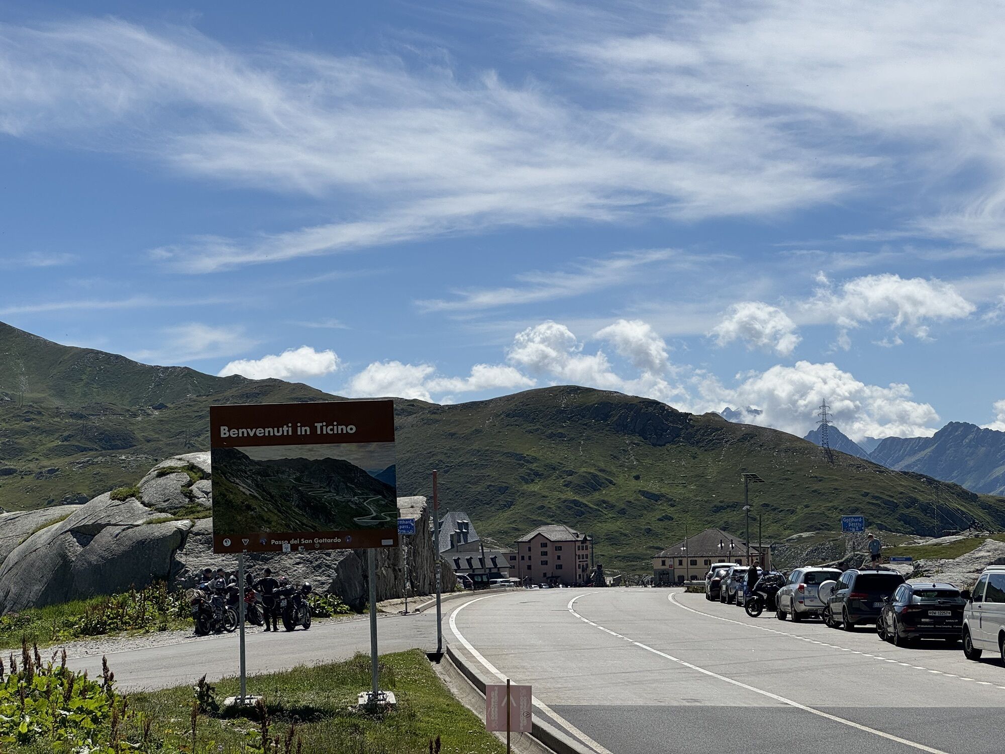
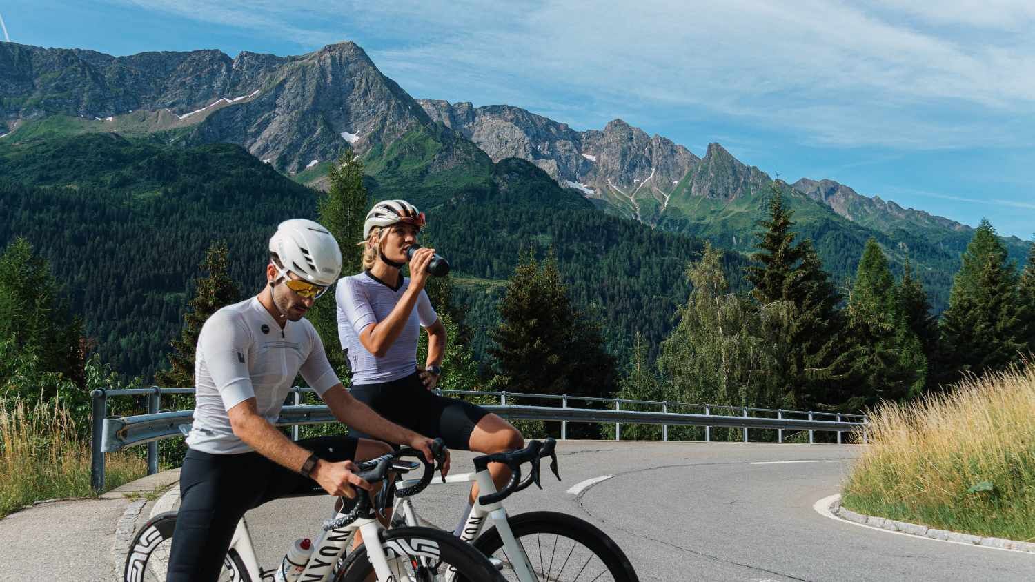
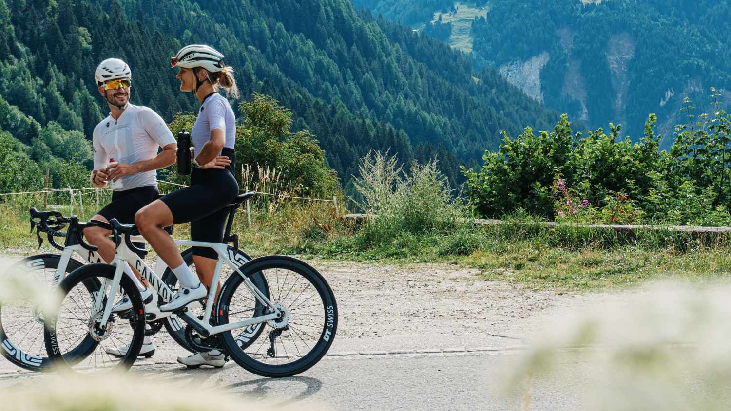
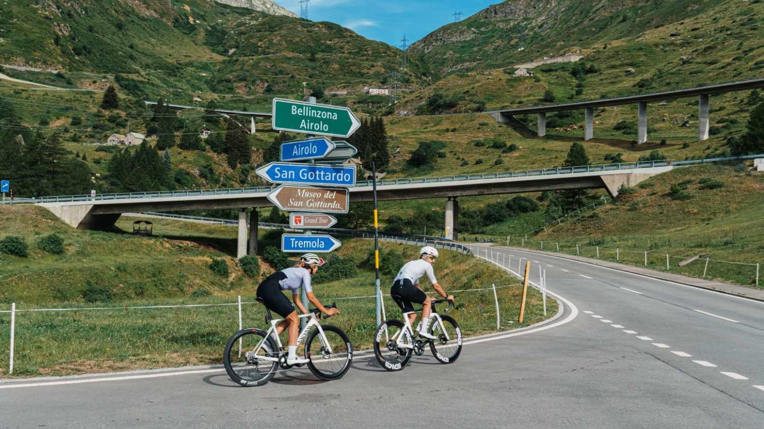
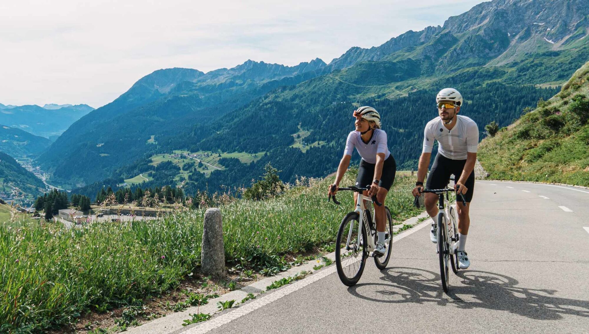
From Airolo the route takes you through the Tremola Valley, where the namesake cobbled road winds through 37 hairpin bends over about 900 meters of elevation gain. It was built in 1830 as a commercial road for carriages. At that time the Tremola was a masterpiece of engineering, set in the sparse alpine landscape. At the San Gottardo Pass, the National Museum of the San Gottardo provides information about the hard struggle between man and nature, illustrating the construction and maintenance of the mountain passes and historical forms of transport. The San Gottardo Chapel, built between 1160 and 1176, is also worth a visit. Take advantage of your stop to refresh yourself at the restaurant before continuing down through the Urserntal. The Urserntal is one of the most majestic alpine valleys in Switzerland. The final part leads along the Reuss river from Hospental to Andermatt.

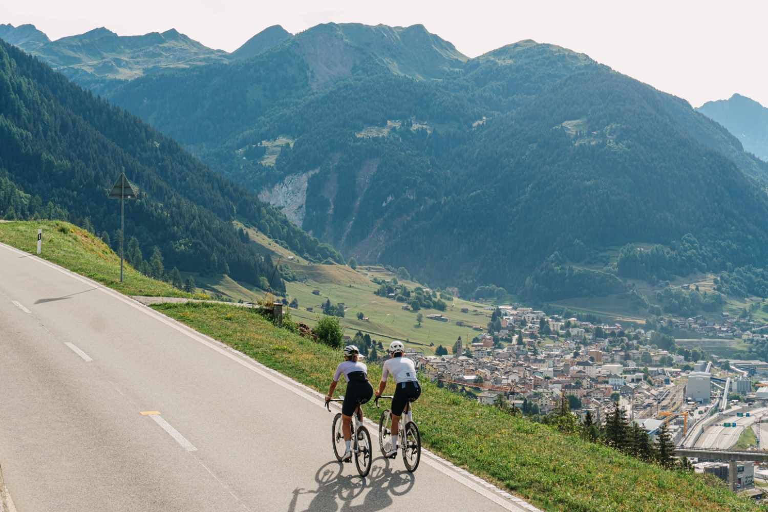

This route runs on roads open to motorized traffic, obey the traffic rules: www.prudenza-precedenza.ch
2
Follow the bicycle logo shown on the red signs: North-South Route no. 3

Kamery internetowe z trasy



Popularne wycieczki w okolicy
-
4,9
Rheinquelle - Lai da Tuma über den Pazzolastock
średniWędrówka 10,3 km -
4,5
Lakes Orsino, Orsirora and Valletta Route
Wędrówka 12,8 km -
Rheinquelle - Lai da Tuma
średniWędrówka 5,67 km -
Furka Pass – Rhone Glacier
światłoWędrówka 3,59 km -
3,8
Piz Cavradi
średniWędrówka 6,48 km -
1,0
Lutersee
średniWędrówka 6,11 km -
5,0
Passo delle Colombe - Passo del Sole
Wędrówka 12,4 km -
3,5
Circular hike Furka Pass-Tällistock
średniWędrówka 11,0 km -
Via Alta Vallemaggia
ciężkiWędrówka 169,7 km -
Val Piora lakes route
średniWędrówka 15,8 km
Wędrówki i tropienie


Nie przegap ofert i inspiracji na następne wakacje
Twój adres e-mail została dodana do listy mailingowej.





