







Fusio-Lake Narèt-Fusio

Poziom trudności: 3
Thanks to its significant altitude difference, it represents a coveted challenge for the most experienced climbers. Despite the level of difficulty, this route to Lake Narèt – an artificial reservoir located...
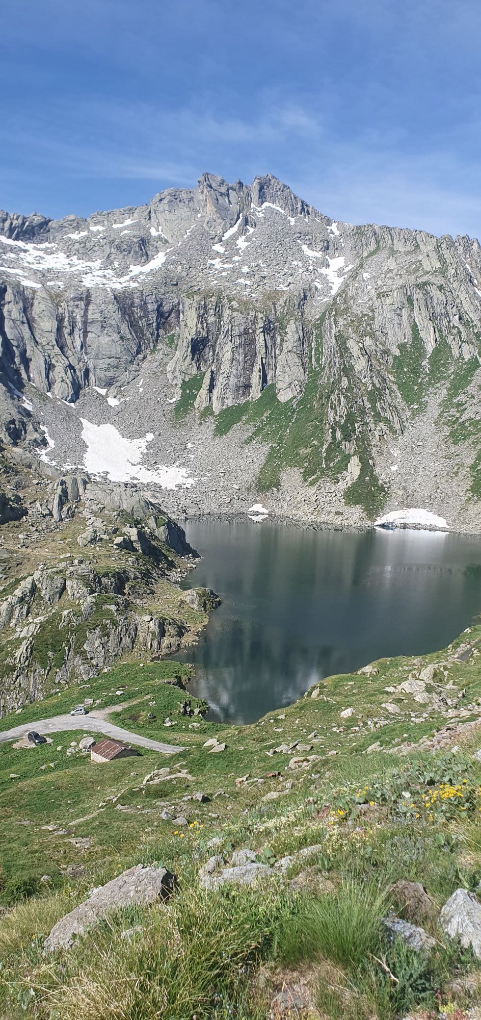
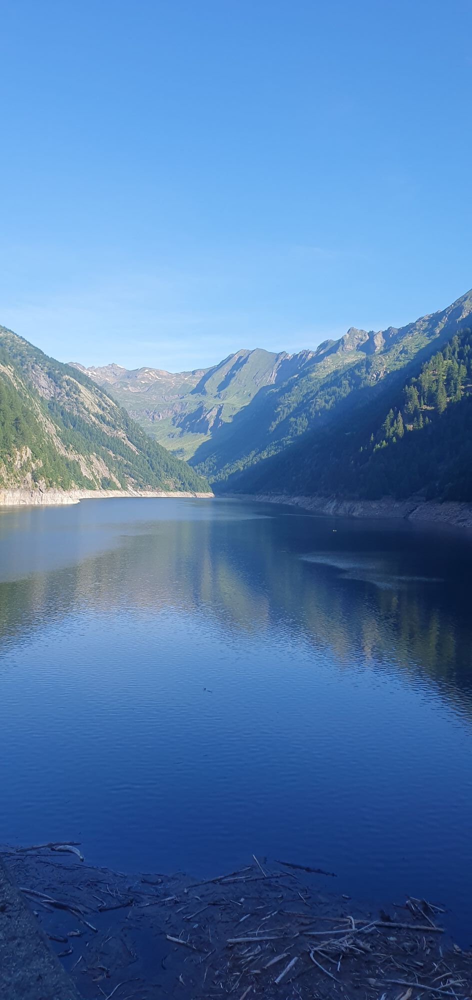
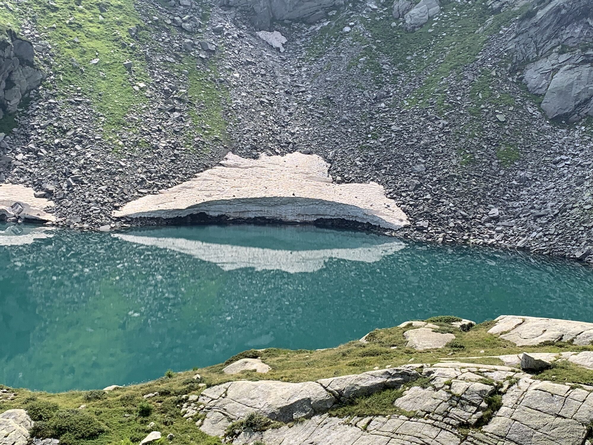
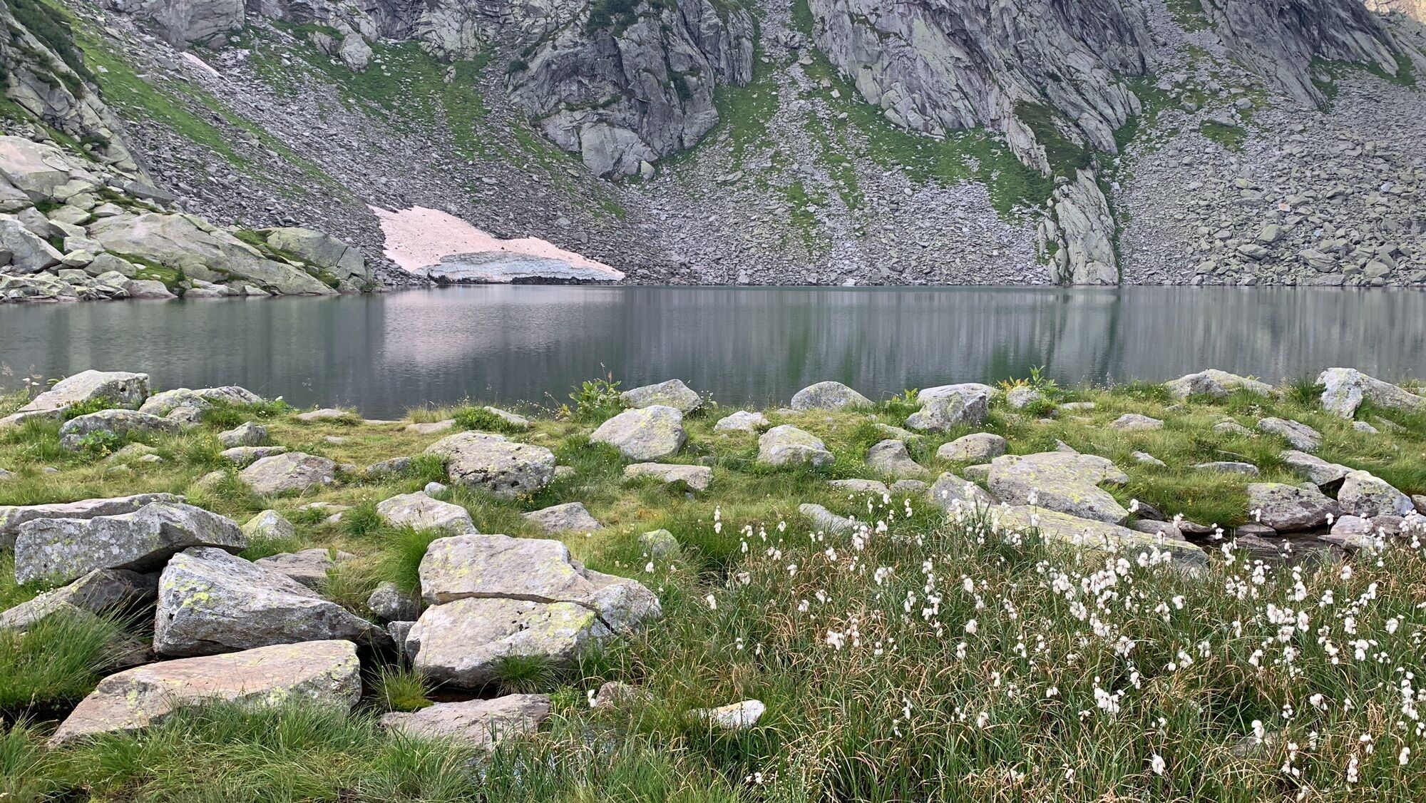
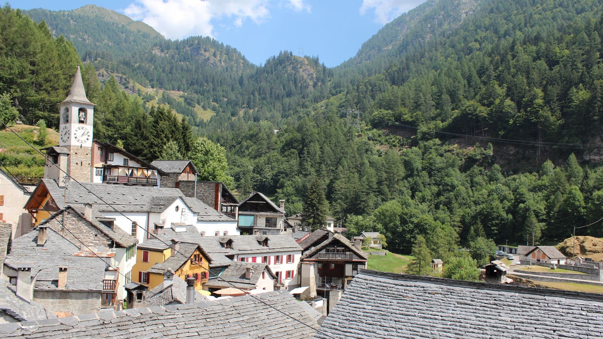
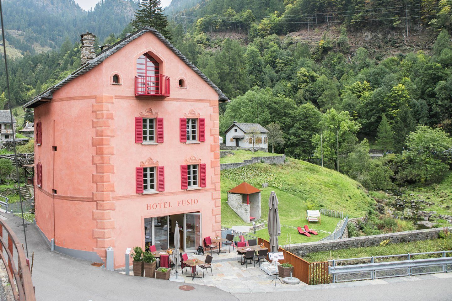
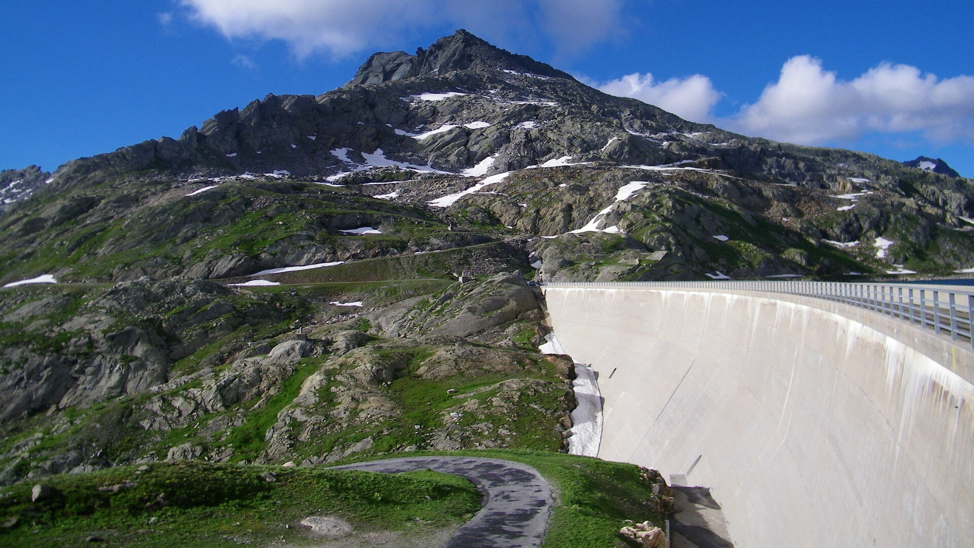
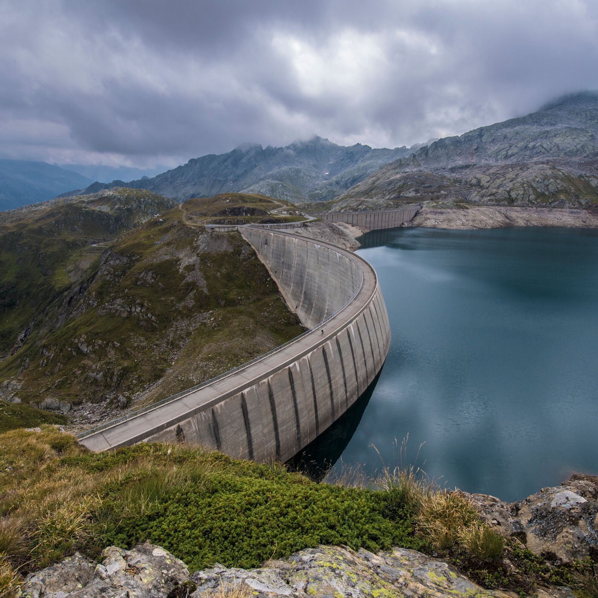
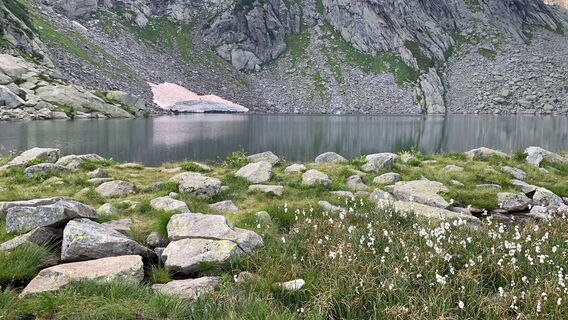
Thanks to its significant altitude difference, it represents a coveted challenge for the most experienced climbers. Despite the level of difficulty, this route to Lake Narèt – an artificial reservoir located at an altitude of 2310 m – is unique in its kind. Starting from the idyllic village of Fusio, you pass through a spruce forest to admire the intense green of Lake Sambuco. Next to the dam, there is a grottino where you can refresh yourself. The route then continues along the artificial lake through the homonymous valley. In summer, the Alpe di Campo la Torba is an alpine pasture, whose cheese can be purchased in Fusio. The last 5 km are extremely steep, but Lake Narèt is immersed in a splendid alpine landscape and is ideal for enjoying some tranquility in nature before returning to Fusio.


Fusio-Lake Sambuco-Grasso di Dentro-Corte dei Laghetti-Lake Scuro-Lake Narèt-Lake Scuro-Corte dei Laghetti-Grasso di Dentro-Lake Sambuco-Fusio
Tak
Electric bike/mountain bike
Interchangeable battery
Battery charger
Bike helmet
Bike backpack (approx. 35 liters) with rain cover
Comfortable and sturdy shoes
Cycle shoes if necessary
Suitable layered outdoor clothing
Cycling jersey if needed
Change of clothes
Cycling gloves
Bike pump
Bike repair tools
Sun and rain protection
Food and drinking water
Water bottle
First aid kit
Mobile phone
Phone mount for the handlebar, if needed
Light and reflectors
Maps
Travel documents
3




Popularne wycieczki w okolicy
-
4,5
Lakes Orsino, Orsirora and Valletta Route
Wędrówka 12,8 km -
4,8
Fusio-Lake Mognola-Fusio
średniWędrówka 8,94 km -
4,7
Foroglio-Calnègia-Foroglio
średniWędrówka 8,37 km -
4,8
Ciaspolata al Rifugio Maria Luisa
średniRakieta do chodzenia po śniegu 11,2 km -
Via Alta Vallemaggia
ciężkiWędrówka 169,7 km -
Val Piora lakes route
średniWędrówka 15,8 km -
5,0
Toce Waterfall - Riale - San Giacomo Pass road
średniWędrówka 10,9 km -
4,0
Capanna Piansecco
światłoRakieta do chodzenia po śniegu 7,26 km -
5,0
Lago del Naret-Sasso Nero-Lago del Naret
średniWędrówka 8,55 km -
Glaciological Path
średniWędrówka 8,18 km
Wędrówki i tropienie


Nie przegap ofert i inspiracji na następne wakacje
Twój adres e-mail została dodana do listy mailingowej.





