


Riviera and Bellinzonese e-bike route


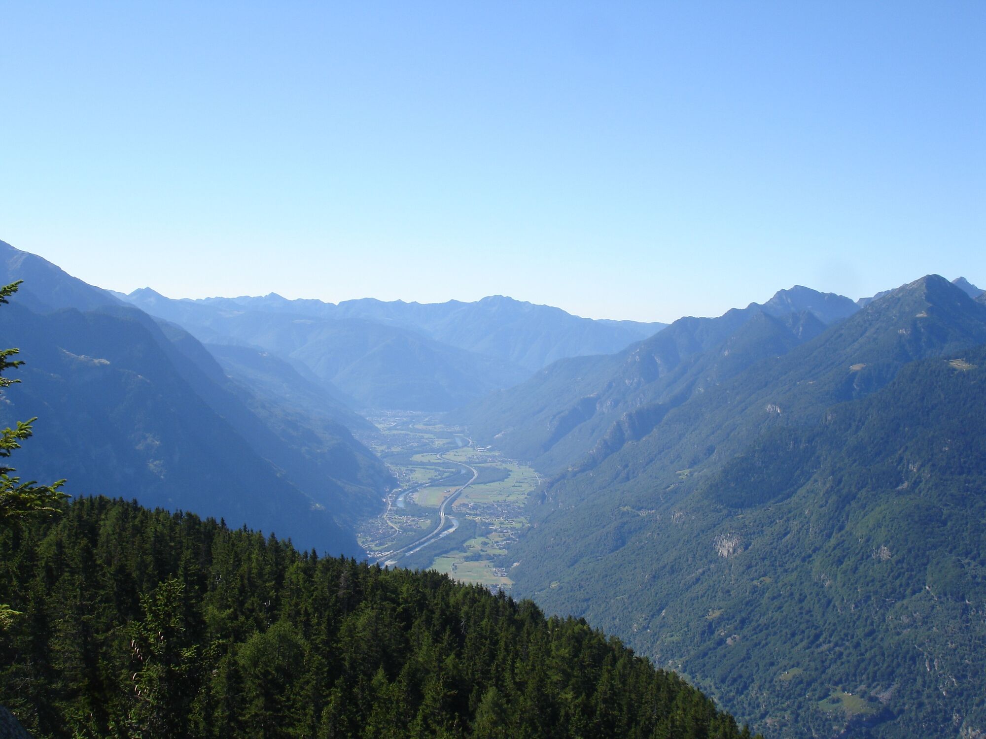
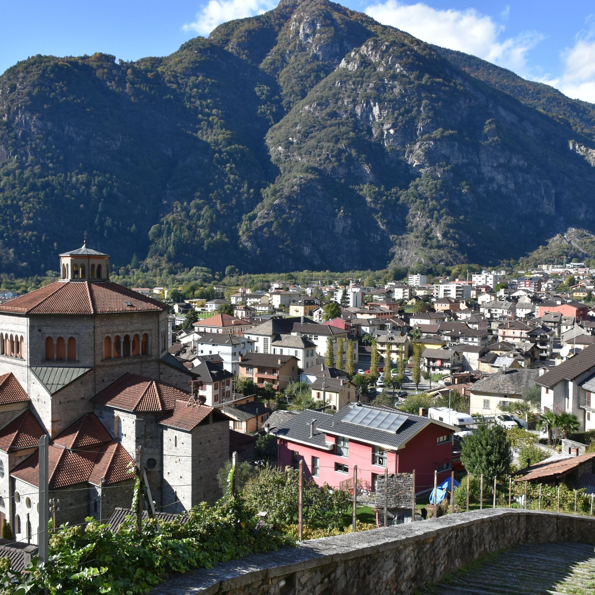
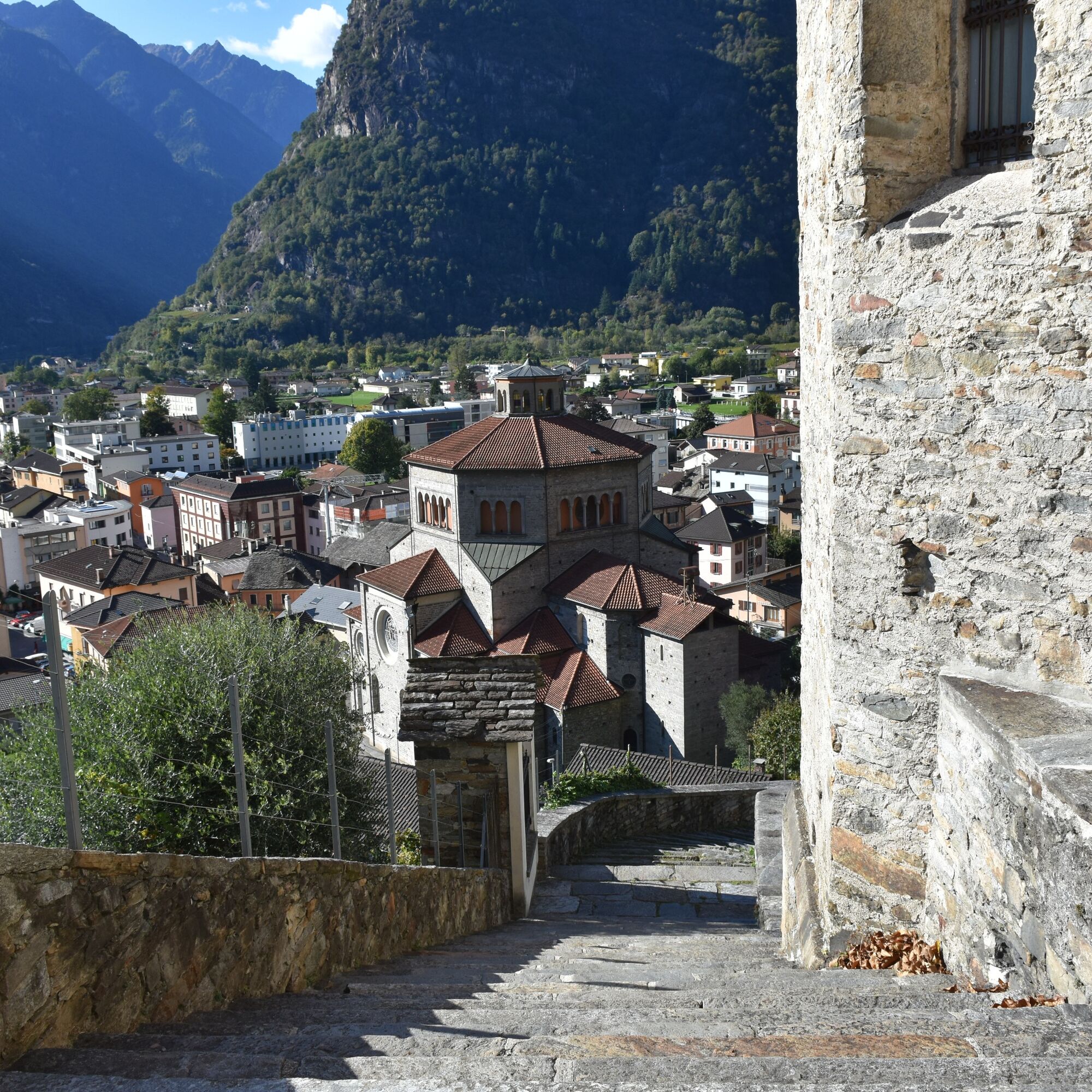
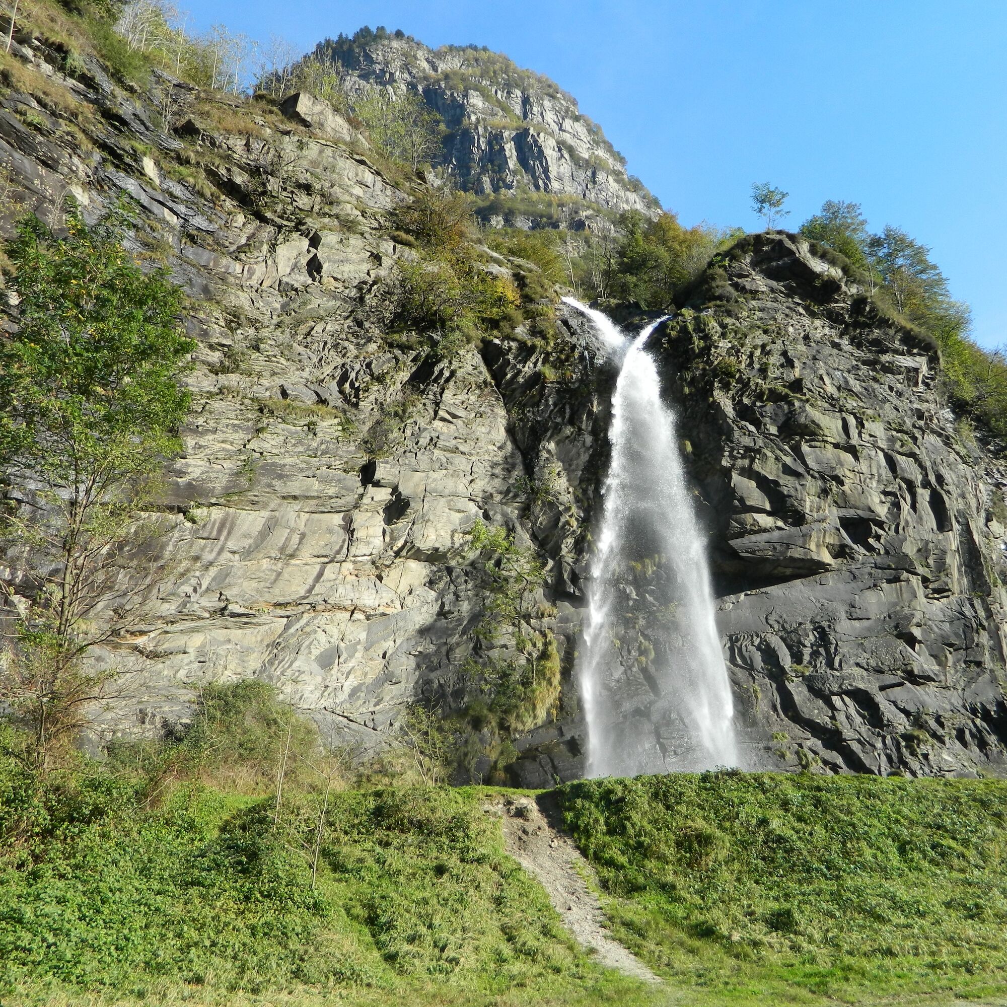
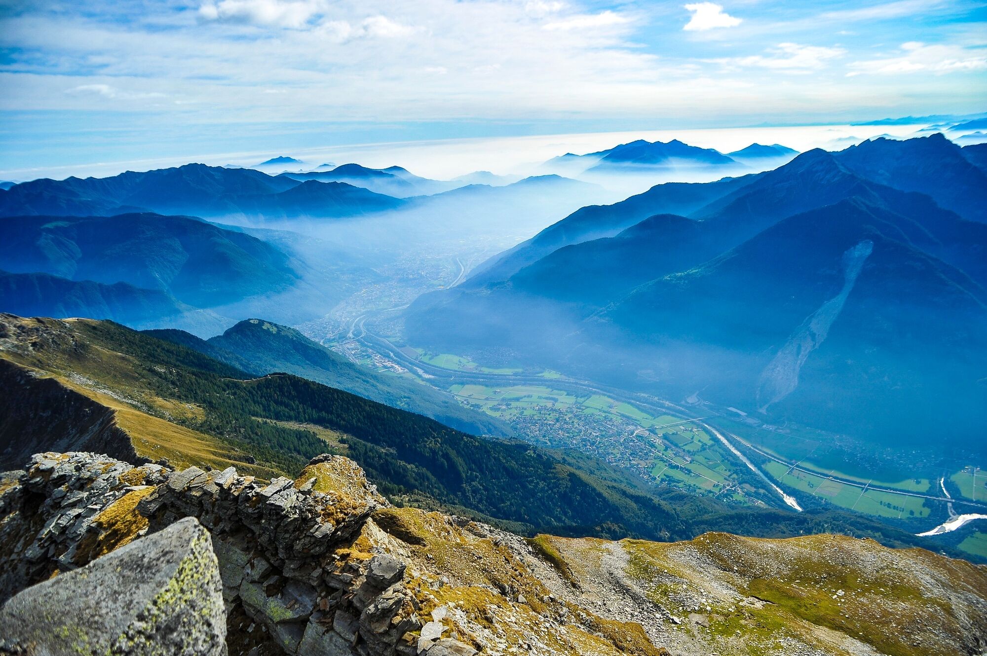
The starting point is Biasca, the center of the Ambrosian valleys Blenio, Leventina, and Riviera, with a beautiful view of the imposing Santa Petronilla waterfall and the San Pietro church that dominates...
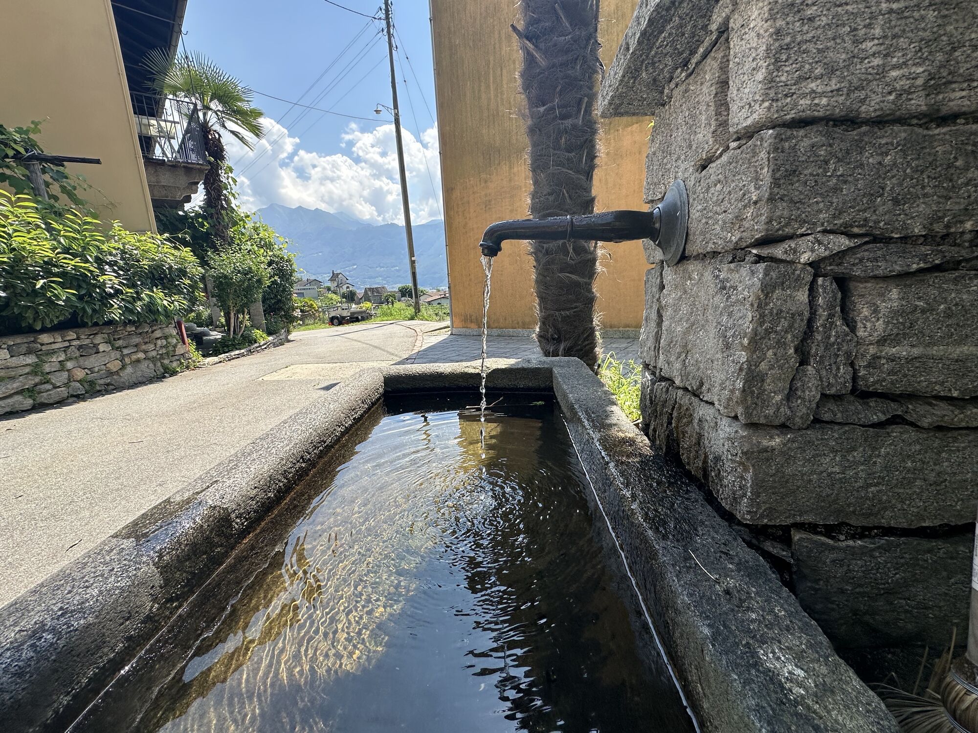
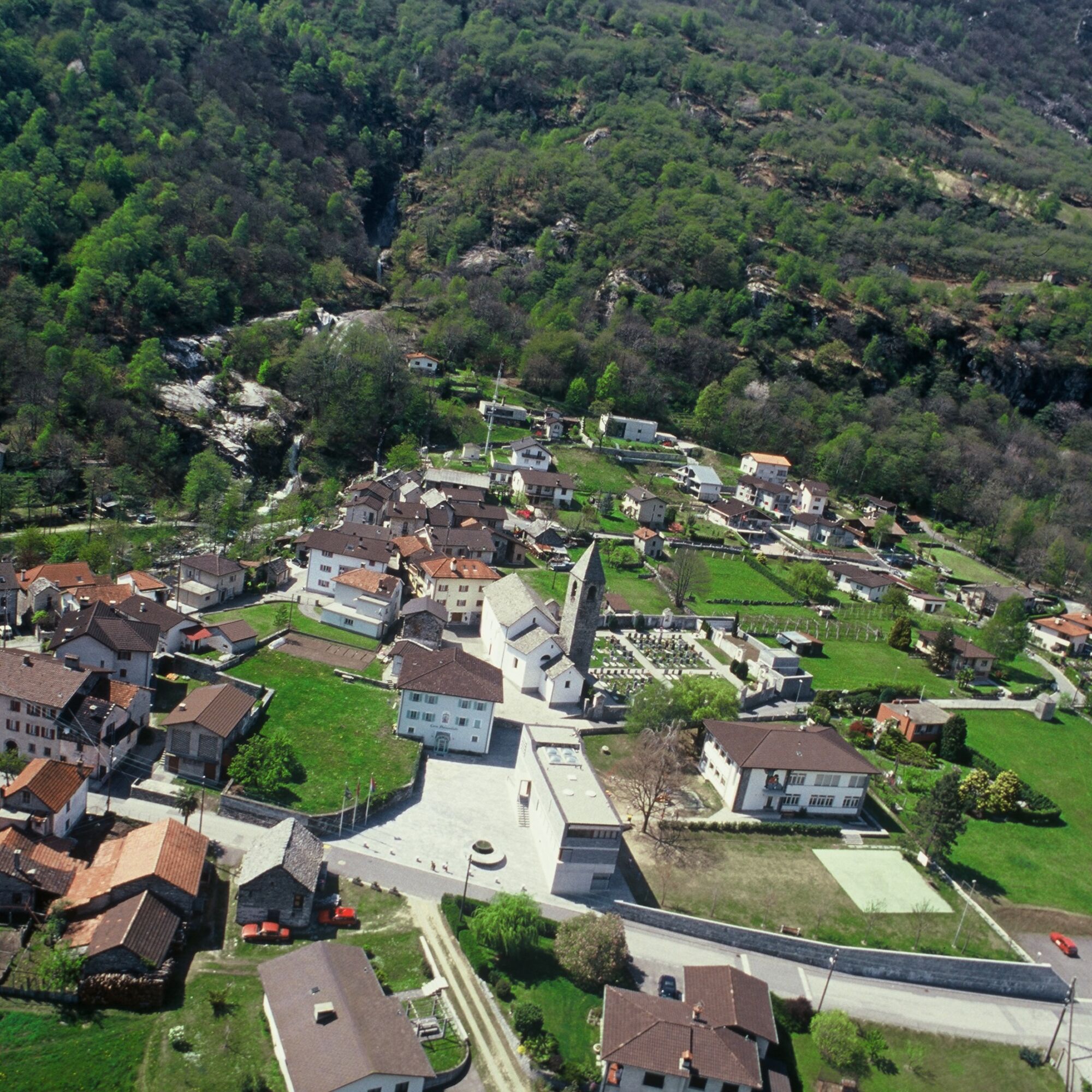
The starting point is Biasca, the center of the Ambrosian valleys Blenio, Leventina, and Riviera, with a beautiful view of the imposing Santa Petronilla waterfall and the San Pietro church that dominates the entire village in Romanesque style. The Valle Riviera is traveled along the right bank of the Ticino river, passing through the villages of Iragna and Lodrino, home to important granite quarries and some typical grotti where you can enjoy excellent local products and dishes.
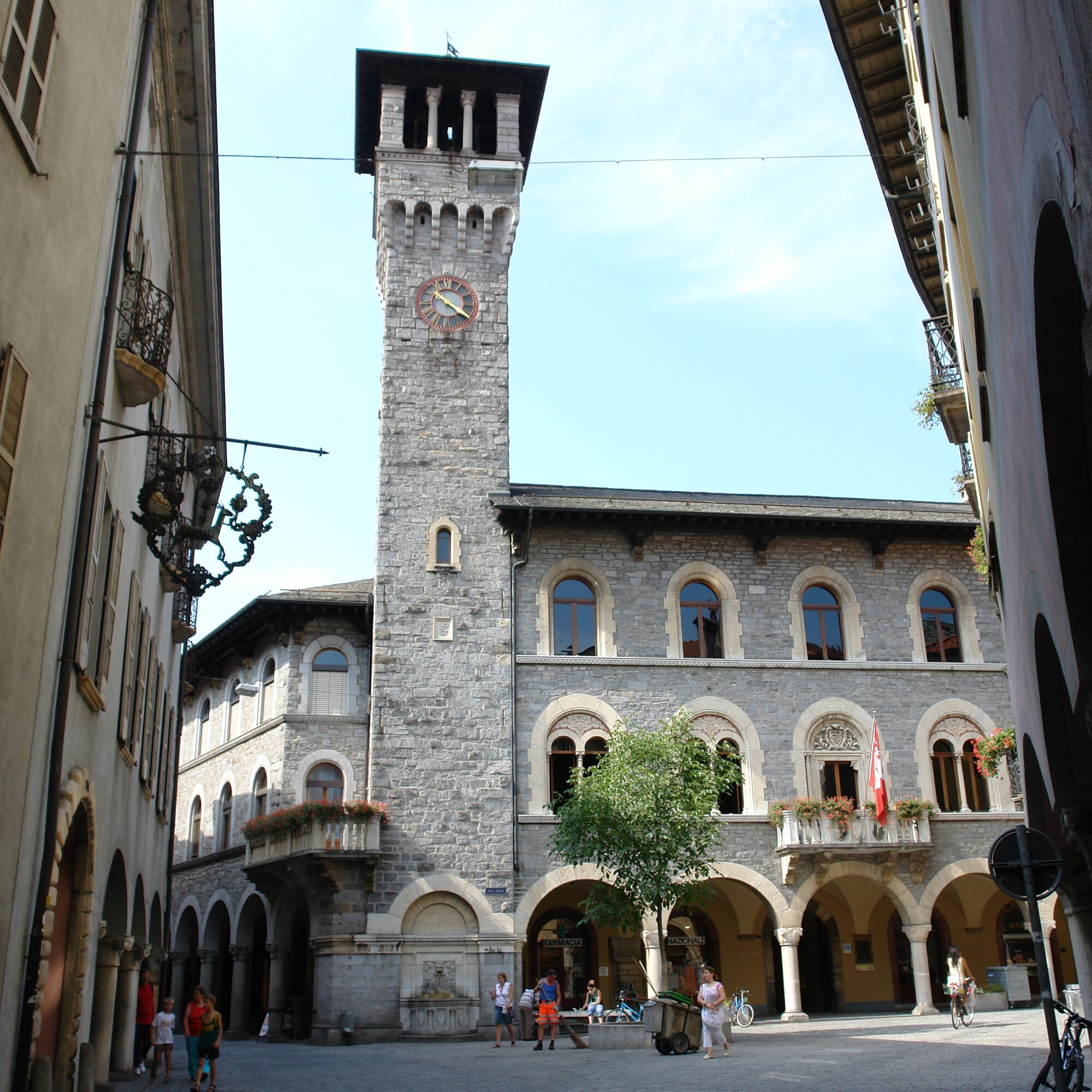
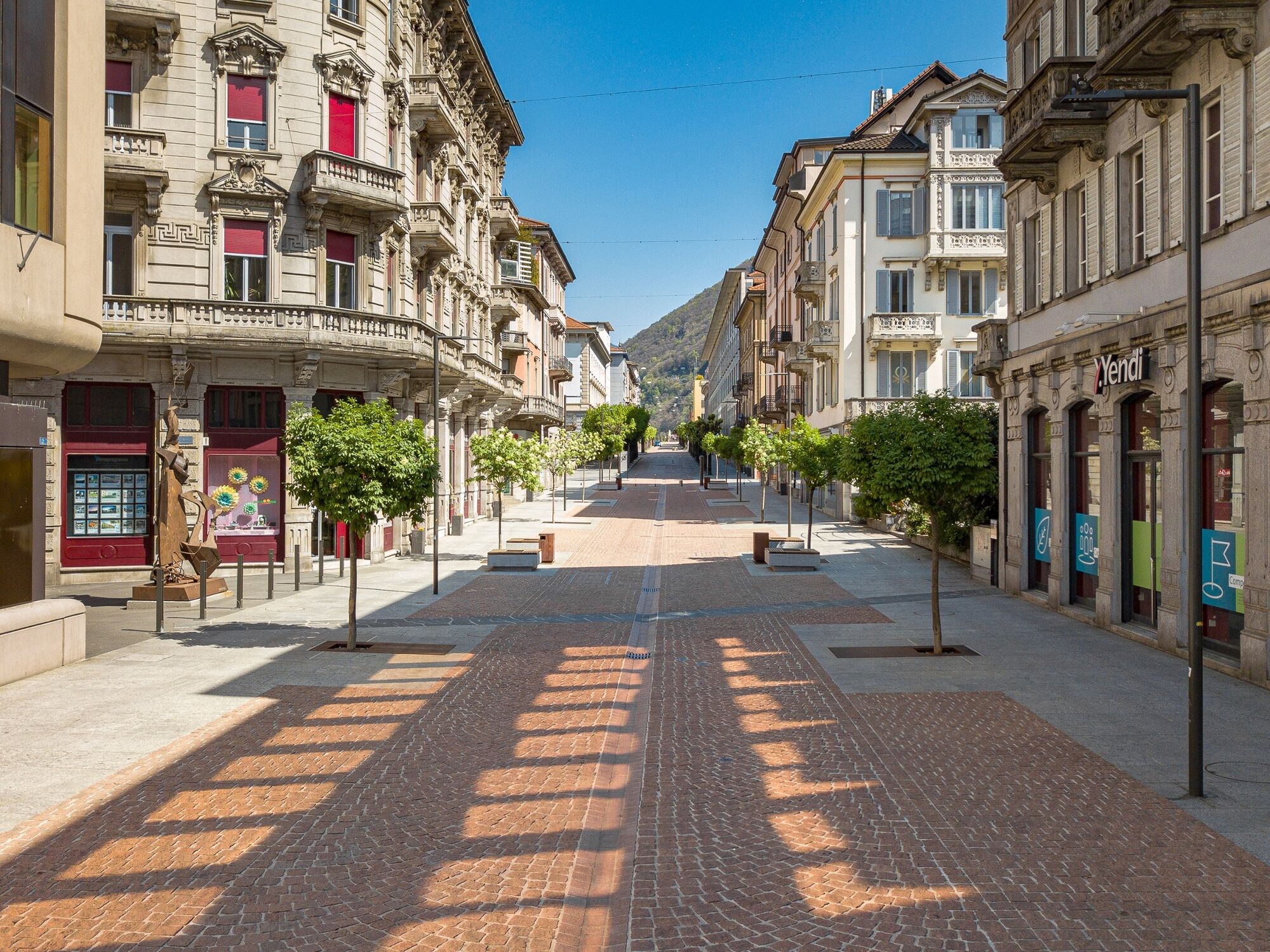
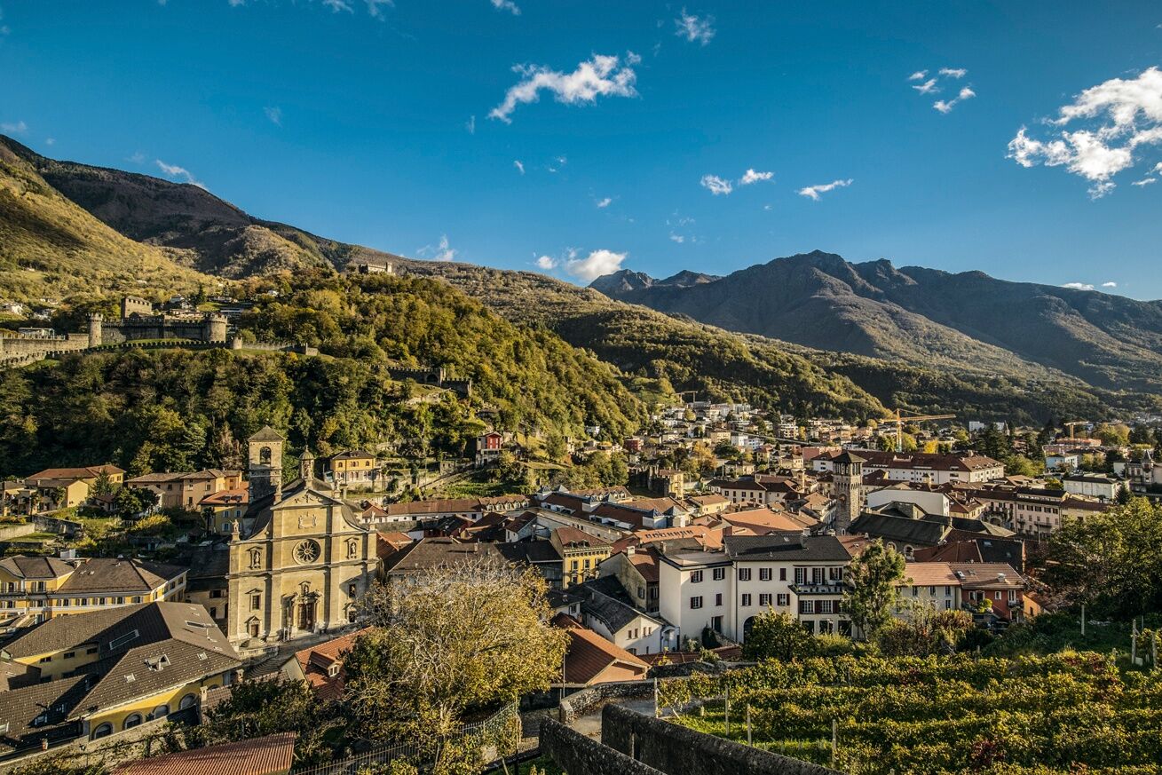
At Lodrino, crossing the bridge, you reach the other side of the valley up to Cresciano, passing next to the military aerodrome. Continuing on pleasant country roads with partly unpaved sections surrounded by nature, you arrive at Arbedo-Castione, in an area dedicated to leisure. After a detour to Lumino on secondary roads to the funicular departure point that leads to the Saurù Mountains and access to Pizzo di Claro, you descend south passing through Arbedo, Monte Carasso (home of the ancient Augustinian Convent), Gudo with its sun-exposed hillside vineyards, Cugnasco, and Quartino. The return is planned from Cadenazzo at the foot of Monte Ceneri, where near the village of Robasacco you can visit the ancient mill recently restored at Precassino. Then, you reach the villages of S. Antonino and Camorino and the old village of Giubiasco. The final stop is Bellinzona - Capital of Canton Ticino - to admire the beauty of the 3 castles, a UNESCO World Heritage Site, and its historic center, considered one of the most authentic in all Ticino with its ancient villas.
The routes can be traveled in both directions.
Wear protection Correctly assess your skills Give priority to hikers Stay on the path Close gates
Careful route planning is the key to enjoying a route. Check the weather and trail conditions in advance at local tourist information centers. Depending on the season and weather conditions, the route may be closed or interrupted.
The route is based on the bike routes proposed by Svizzera Mobile with some variations to reach e-bike charging stations present along the entire route:
E-bike charging point Biasca - FFS Station
E-bike charging point Lodrino - Sports field
E-bike charging point Cresciano - Village center
E-bike charging point Arbedo-Castione - FFS Station
E-bike charging point Lumino - Village center
E-bike charging point Cadenazzo - FELA Ticino
E-bike charging point Monte Carasso
E-bike charging point Gudo - Village center
E-bike charging point Bellinzona
Charging for e-bikes is free, faster than a normal charge, and can be done without your own charger. During your route, for safety, take a printed copy of our web map with you.
The route is based on the bike routes proposed by Svizzera Mobile with some variations to reach e-bike charging stations present along the entire route. Charging for e-bikes is free, faster than a normal charge, and can be done without your own charger.
During your route, for safety, take a printed copy of our web map with you.
Popularne wycieczki w okolicy
- 4,3
Revöira Ethnographic Trail (SwitzerlandMobile 629)
średniWędrówka7,97 km - 4,0
Cardada Bike (SchweizMobil 397)
ciężkiMountainbike30,4 km - 4,5
Tibetan Bridge route (SwitzerlandMobile 628)
średniWędrówka9,02 km - 4,8
Diga Verzasca-Mergoscia-Corippo-Lavertezzo
średniWędrówka13,0 km - 5,0
Verzasca Dam-Monti di Motti-Verzasca Dam
średniWędrówka9,31 km Sentiero Verzasca (SvizzeraMobile 74)
średnidługodystansowy szlak pieszy34,4 km- 4,8
Von Isone über den Camoghè 2.227m nach Colla
ciężkiWędrówka20,2 km - 4,0
Bolle di Magadino
światłoTrasa tematyczna5,97 km - 4,0
Vogorno-Alpe Bardughè-Vogorno
średniWędrówka12,2 km - 5,0
Lavertezzo-Brione Verzasca
światłoWędrówka6,50 km
Wędrówki i tropienie


Nie przegap ofert i inspiracji na następne wakacje
Twój adres e-mail została dodana do listy mailingowej.