






Airolo Bike (SwitzerlandMobility 391)
Poziom trudności: S2
Start from the Airolo train station, located in the center of the historic town at the gateway to Southern Switzerland. Following the cantonal road towards the Bedretto Valley, you reach the departure...
Start from the Airolo train station, located in the center of the historic town at the gateway to Southern Switzerland. Following the cantonal road towards the Bedretto Valley, you reach the departure of the Airolo-Pesciüm cable car within a few minutes. Ascend to Sasso della Boggia, situated at 2,066 m above sea level, where you enjoy an exclusive view of the San Gottardo massif.
The first descent of this route begins with an easy to medium single trail in a breathtaking natural setting; a combination of pastures and mountains, a dazzling green ready to lead you to Cassinello, then along a dirt road to the Chalet at Ravina; an ideal place to stop for polenta and regional products.
Continuing towards Nante, you cross a scenic forest and characteristic farmhouses, and from the center of this village, continue on a dirt road to the Alpe di Pesciüm. Through curves and pine forests, you descend towards Fontana and finally, on a light and flat stretch, return again to the cable car departure following the "Strada Bassa."

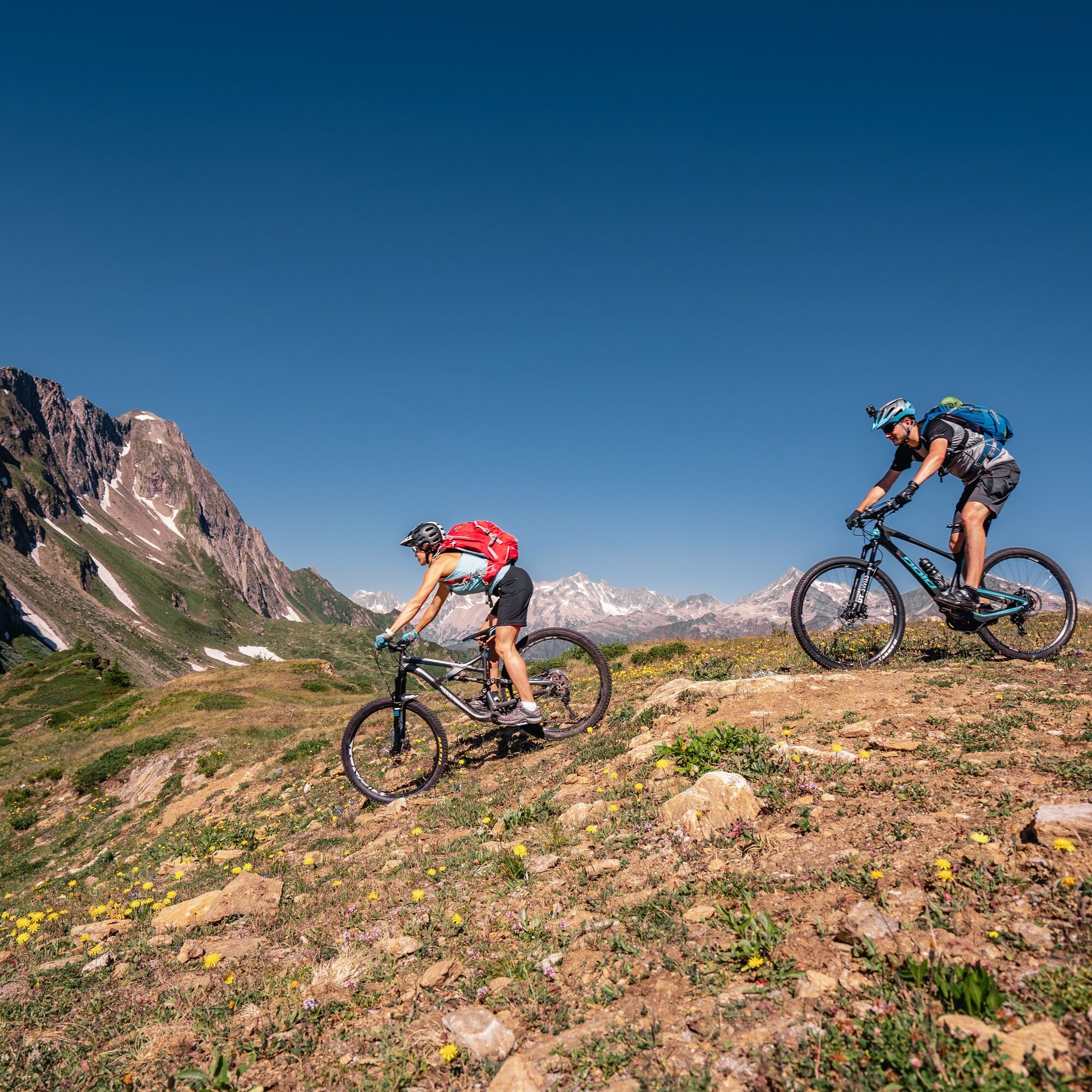
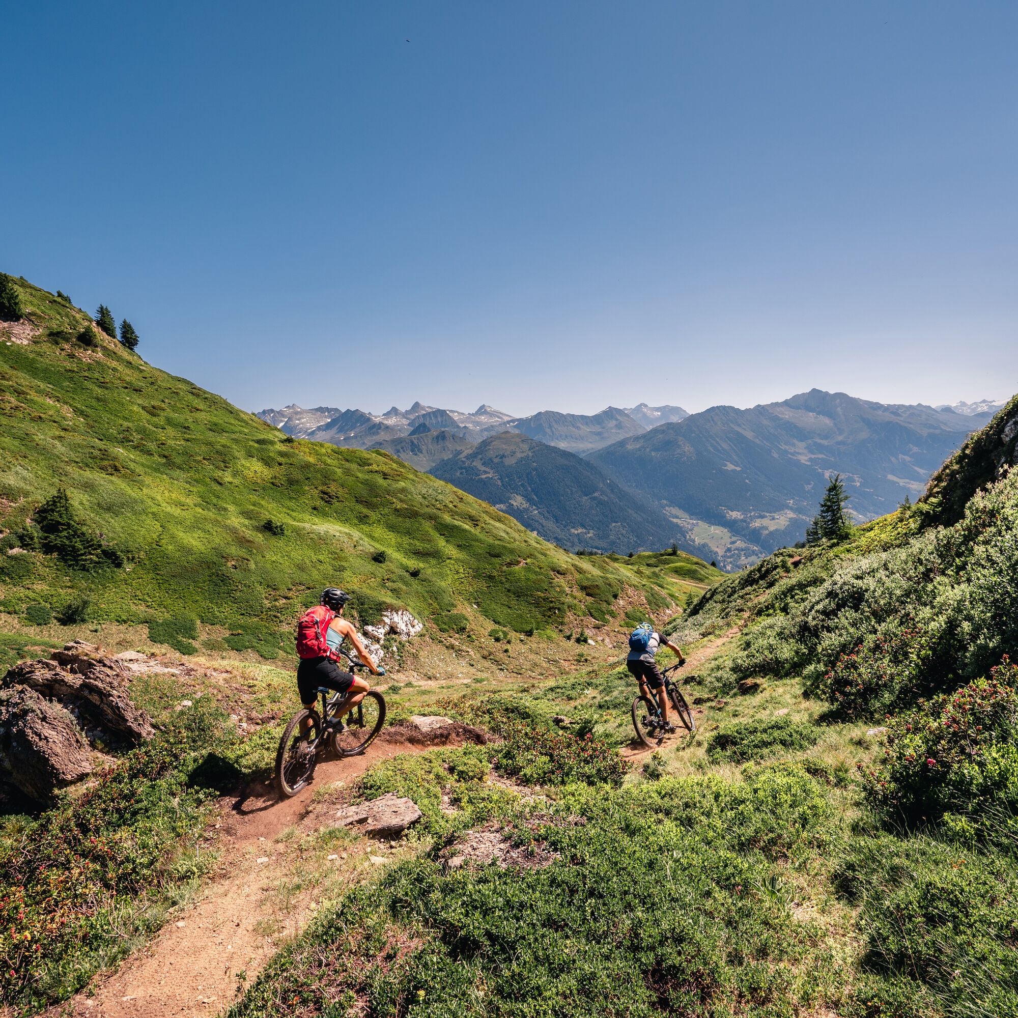
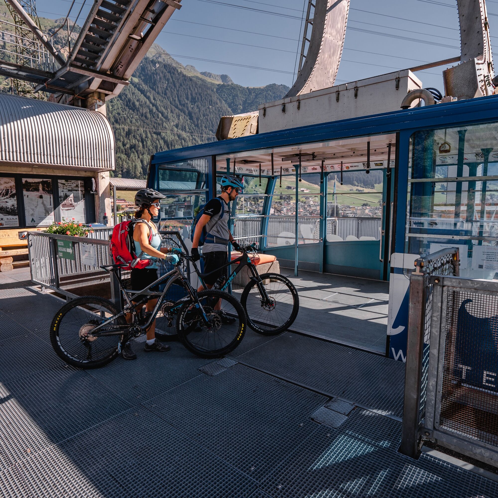
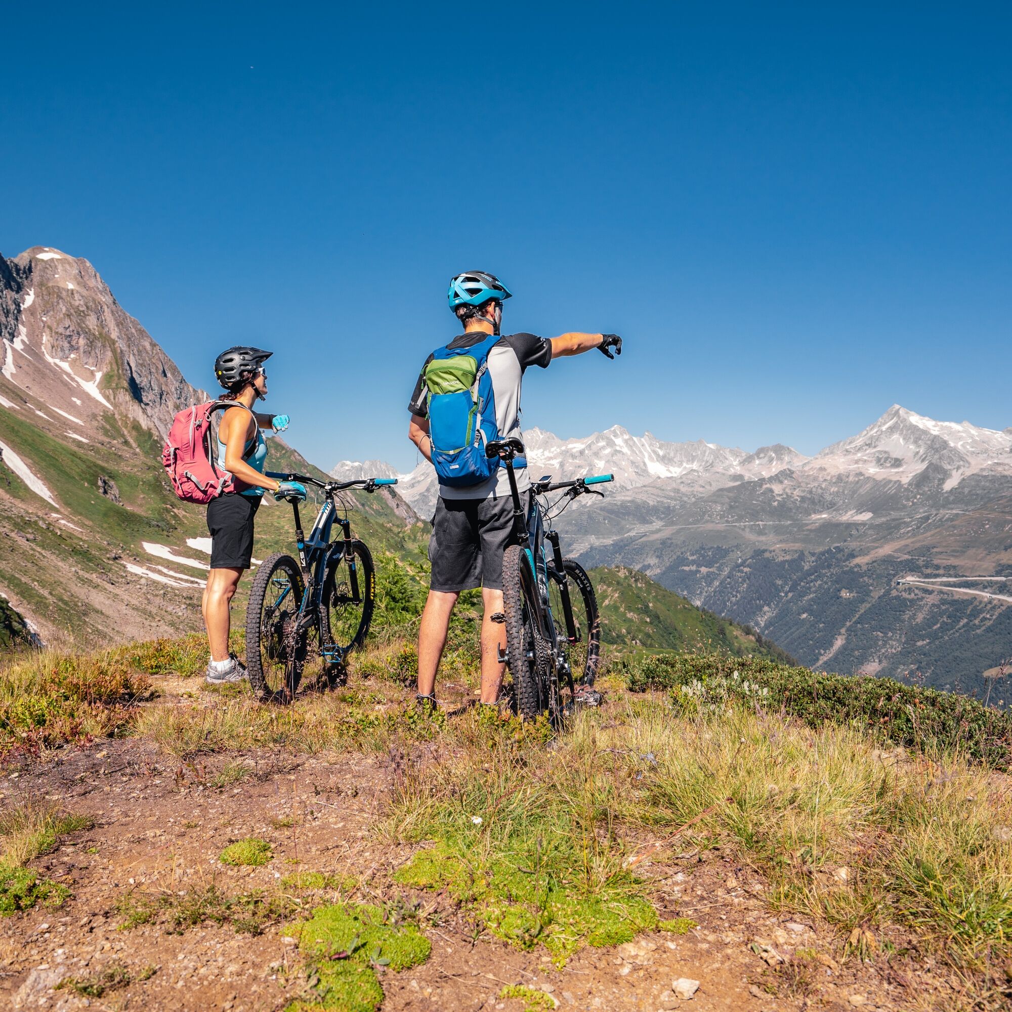
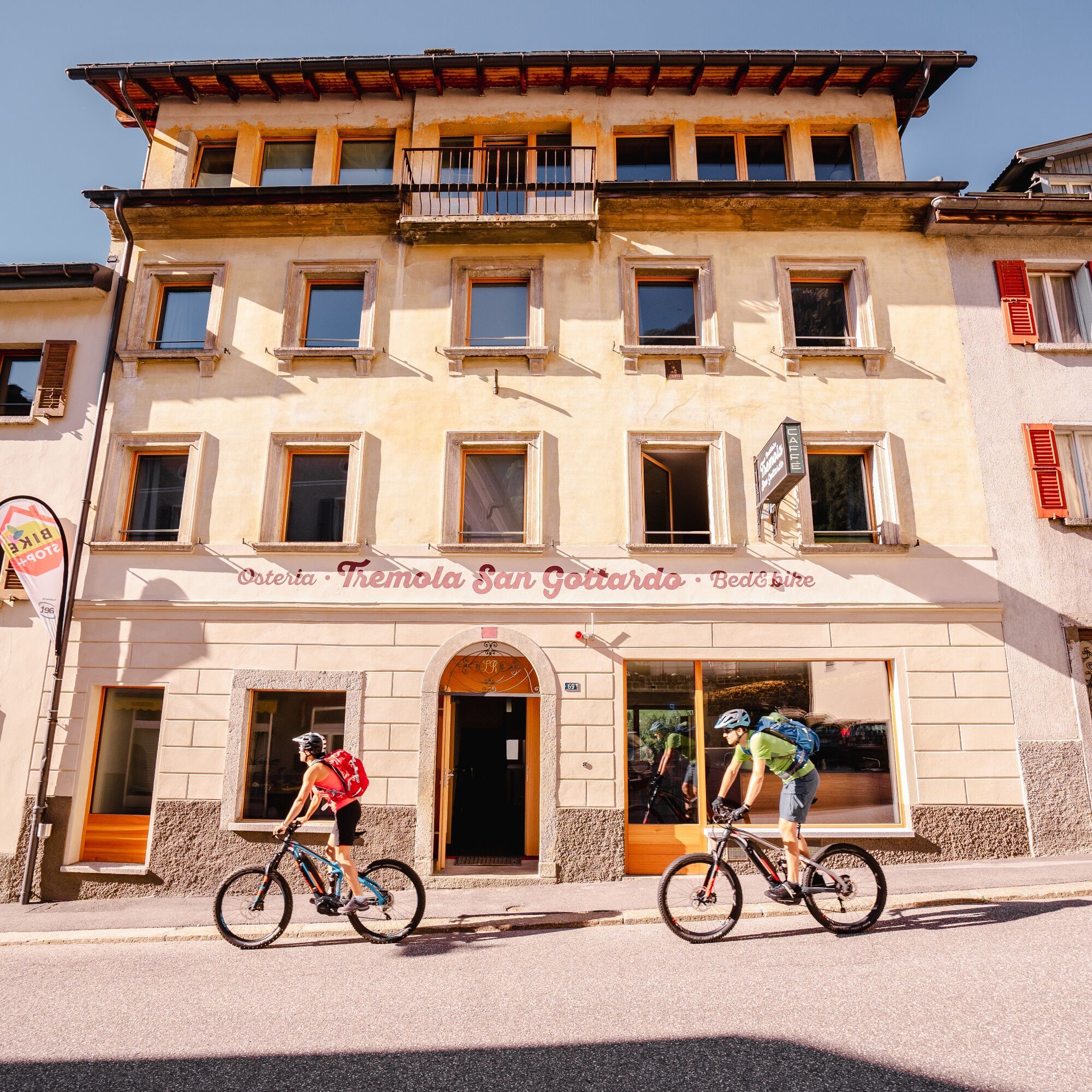

An itinerary rich in unique and unforgettable alpine walks and vistas, ideally suited to those who prefer fun descents that are not too challenging. Bikers will be entertained by breathtaking views, pine forests, pastures and exciting crests.
The starting point is the railway station at Airolo, located in the centre of this historic town at the southern gateway to Switzerland. Following the cantonal road in the direction of Valle Bedretto, in a few minutes you arrive at the departure point of the Airolo-Pesciüm cable car. You climb to Sasso della Boggia, located at 2066 m a.s.l., from where you can enjoy a magnificent view of the Saint-Gotthard Massif.The first descent of this itinerary starts with an easy-medium single trail track in a naturalistic and breathtaking context; a union between pastures and mountains, a dazzling color green ready to guide you to Cassinello and then reach, on a dirt road, the Châlet in Ravina; ideal location for a stopover with Polenta and regional products.
Afterwards, continuing towards Nante, one crosses a striking forest and some farmhouses and then, from the center of this small town one continues on a dirt road reaching, at the end, Alpe di Pesciüm. Curving through pine forests, it descends towards Fontana and finally, on a stretch of easy, level road it returns once again to the starting point of the cable car via the "Strada Bassa".
With this trail you will reach Sasso della Boggia from Airolo via the cablecar (2 km, height difference 890 m). It runs from the end of June, until the beginning of October.
Tak
Careful planning of routes is the key to enjoying a route. Check weather and trail conditions in advance at local information centers. Depending on the season and weather conditions, the route may be closed or interrupted.
A2 motorway, Airolo exit. Alternative: Gotthard Pass to Airolo or Nufenen Pass to Airolo.
By train to Airolo then cable car from Airolo to Sasso della Boggia.
Free parking in Airolo, cable car departure.
S2
Follow the mountain bike logo shown on the red signs: Airolo Bike no. 391
Uzyskaj wgląd
Zawsze na żywo z ponad 9 500 kamer internetowych. bergfex Jako użytkownik Pro, możesz teraz zobaczyć odpowiednie kamery internetowe dla wielu wycieczek w aplikacji wycieczki od. Pozwala to na bezpośredni podgląd aktualnych warunków.
Popularne wycieczki w okolicy
-
4,7
Fusio-Lake Mognola-Fusio
średniWędrówka 8,94 km -
Rheinquelle - Lai da Tuma
średniWędrówka 5,67 km -
4,5
Lakes Orsino, Orsirora and Valletta Route
Wędrówka 12,8 km -
3,8
Piz Cavradi
średniWędrówka 6,48 km -
4,0
Capanna Piansecco
światłoRakieta do chodzenia po śniegu 7,26 km -
Glaciological Path
średniWędrówka 8,18 km -
Val Piora lakes route
średniWędrówka 15,8 km -
5,0
Passo delle Colombe - Passo del Sole
Wędrówka 12,4 km -
4,0
Realp - Witenwasseren - Rotondohütte - Leckihorn - Rottällihorn - Stelliboden - Realp
światłoWycieczka narciarska 19,7 km -
Lago del Naret-Sasso Nero-Lago del Naret
średniWędrówka 8,55 km
Wędrówki i tropienie


Nie przegap ofert i inspiracji na następne wakacje
Twój adres e-mail została dodana do listy mailingowej.





