Nawigacja
Pobierz tę trasę na swój telefon komórkowy
Mapa
Monte Generoso MTB
ciężki
Mountainbike
27,38 km
Zeskanuj kod QR i rozpocznij nawigację w aplikacji bergfex.
QR Code
Wędrówki i tropienie
Pobierz dla iOS
Pobierz dla systemu Android

Monte Generoso MTB

ciężki
Mountainbike
Odległość
27,4 km
Czas trwania
04:28 h
Ascent
1 049 hm
Poziom morza
271 - 1 220 m

Poziom trudności: S1

Ścieżka do pobrania
Mapa
Monte Generoso MTB
ciężki
Mountainbike
27,38 km

The route starts at the Capolago railway station, where the characteristic rack railway departs, which for over 130 years has been taking travelers to the summit of Monte Generoso (check schedules on the...

Opis
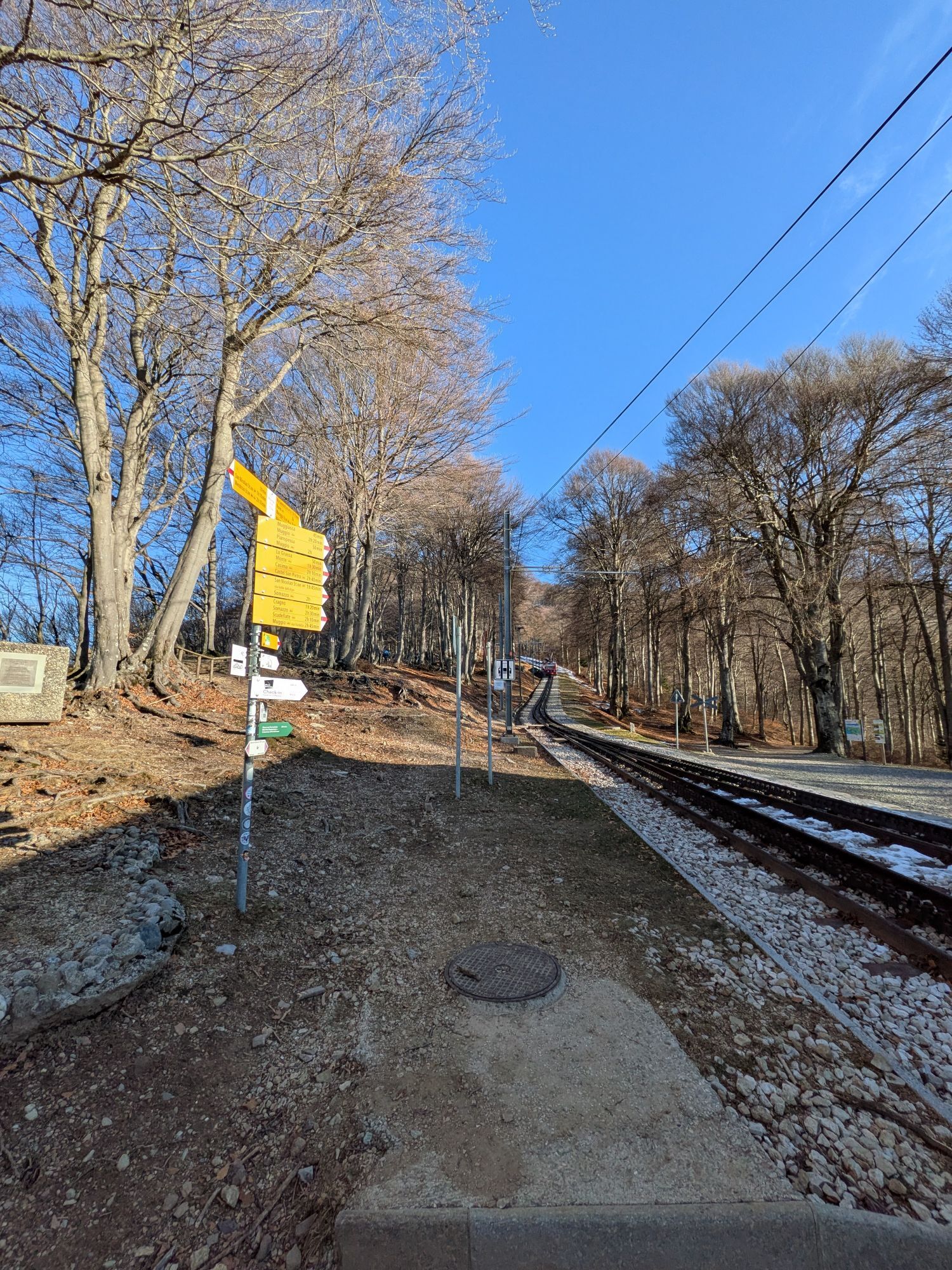
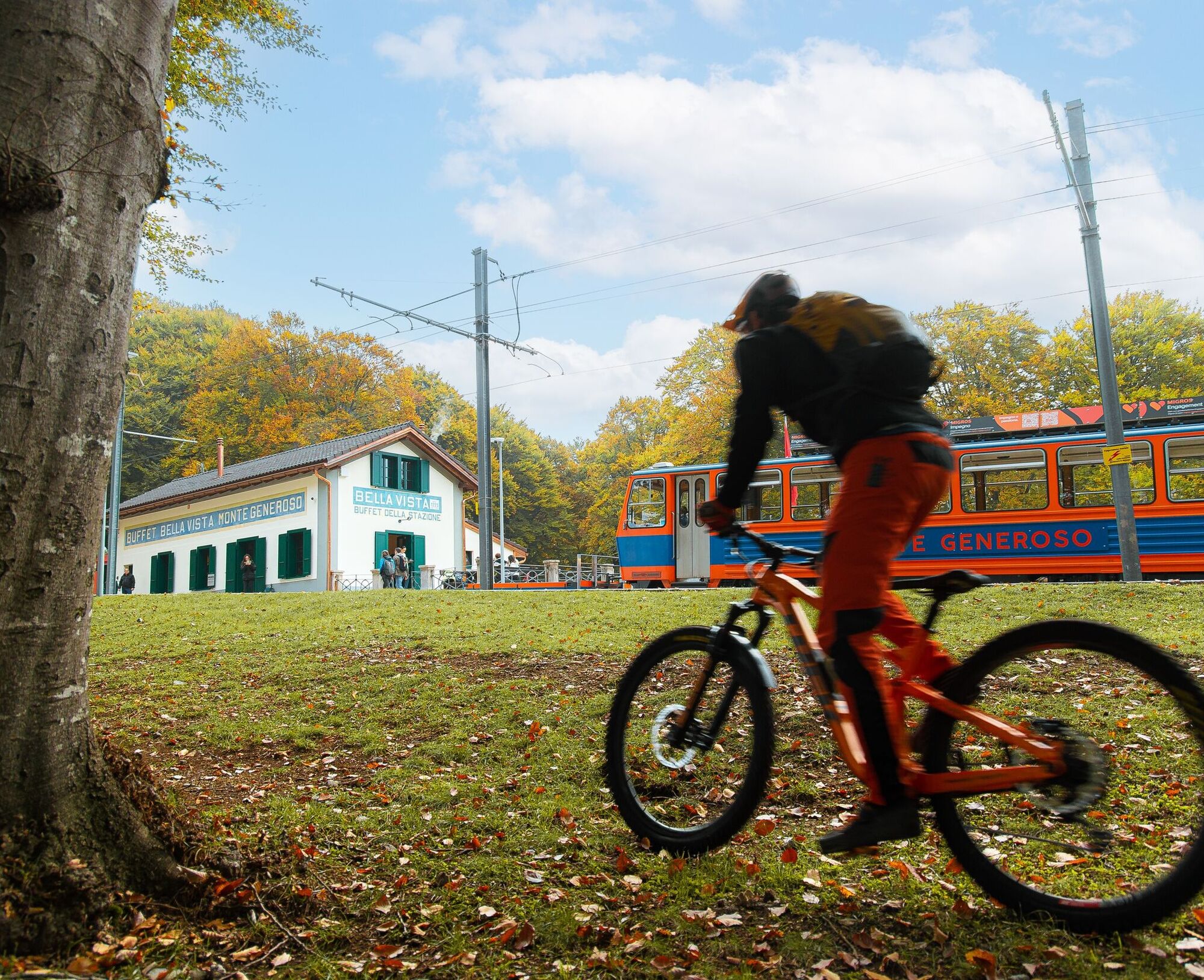
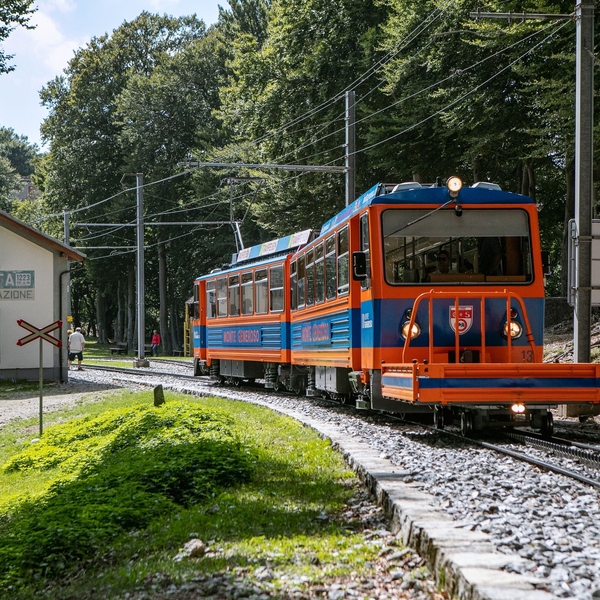
The route starts at the Capolago railway station, where the characteristic rack railway departs, which for over 130 years has been taking travelers to the summit of Monte Generoso (check schedules on the official website) and descends at the intermediate stop of Bellavista, located at 1223 m above sea level, where the renovated Buffet Bellavista is located, a cozy restaurant nestled in the woods.

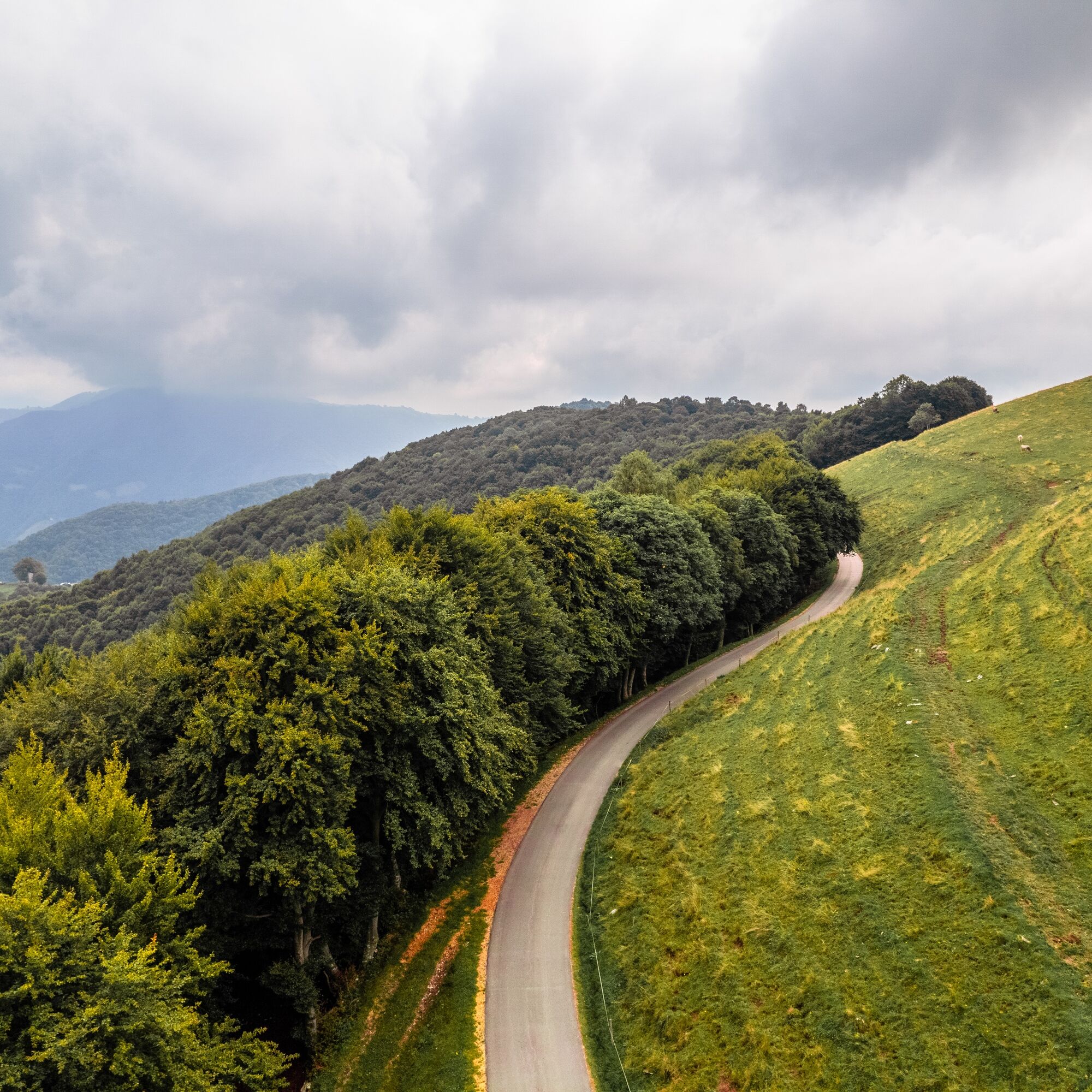
From here, continue along the forest road descending towards Cascina d’Armirone. The route continues on an asphalt road following the official signage towards Alpe di Caviano, passing by the Oratory of Cascina d’Armirone and bordering a section of the Monte Generoso Forest Reserve, inaugurated in 2024.

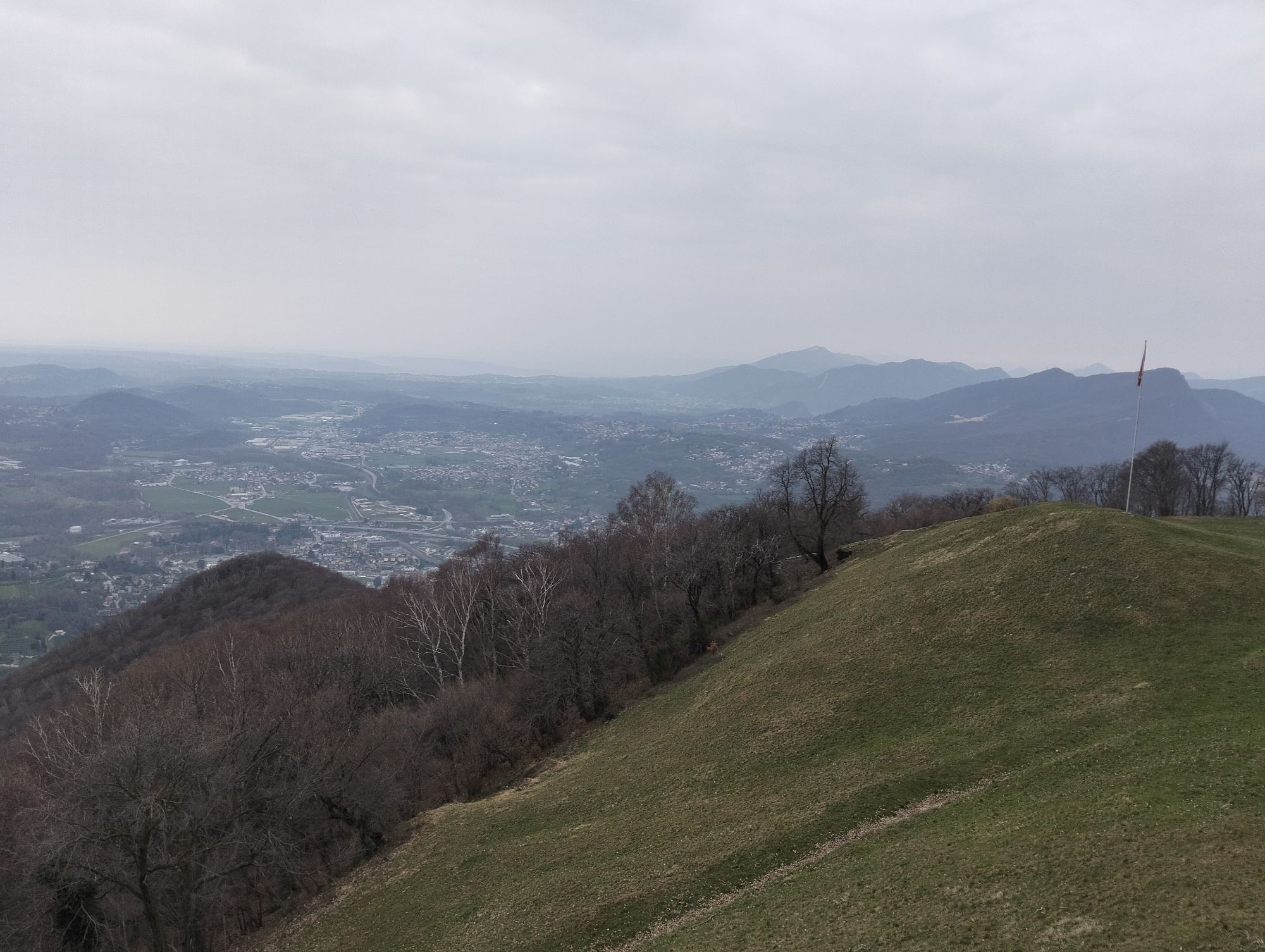
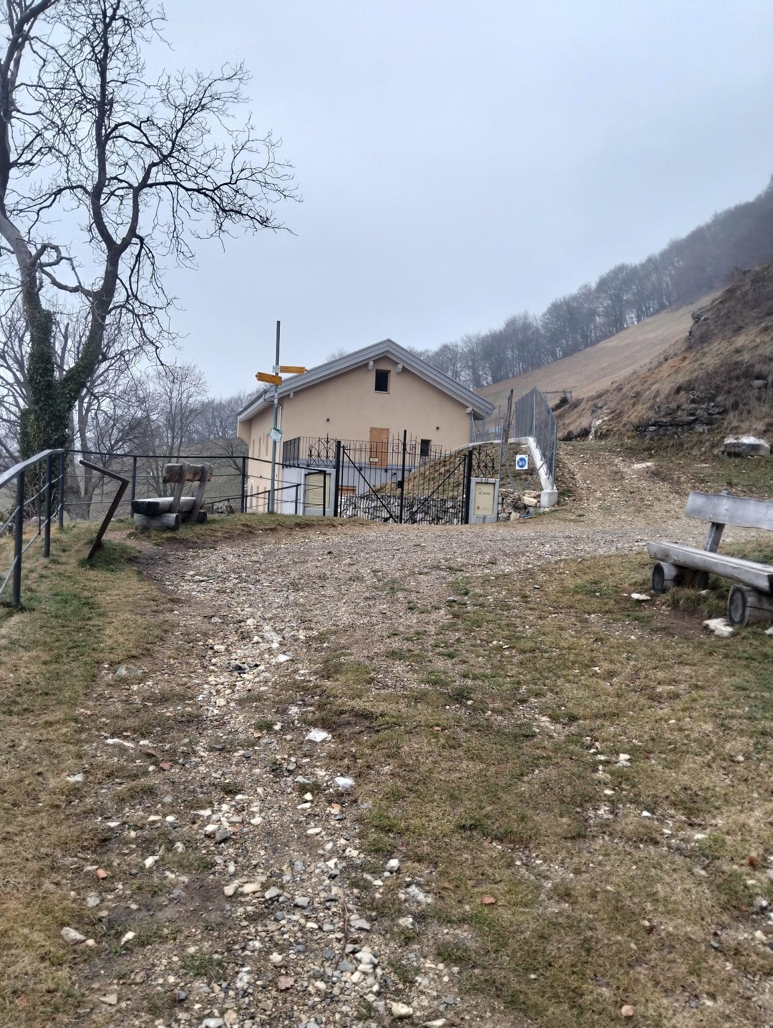
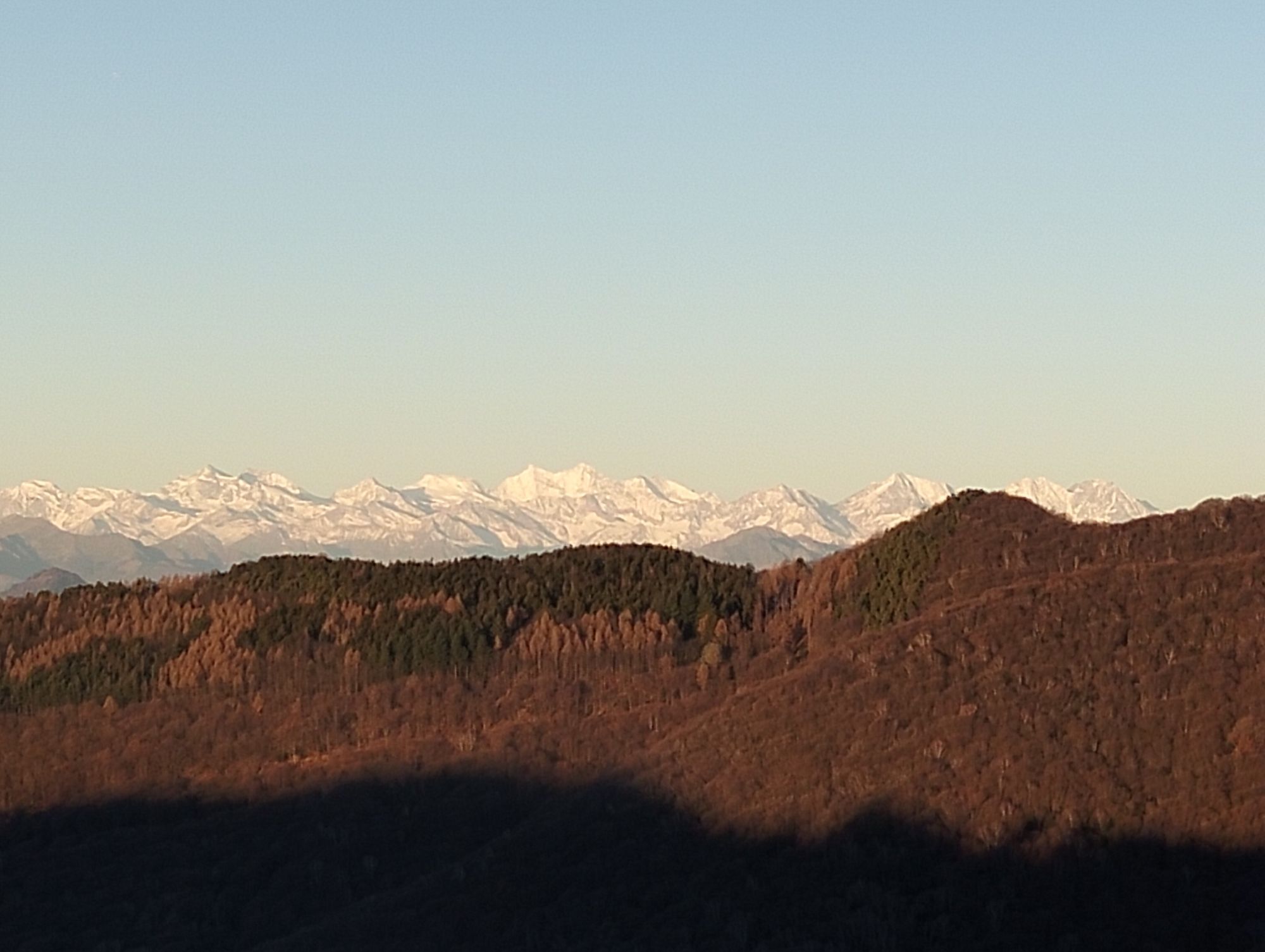
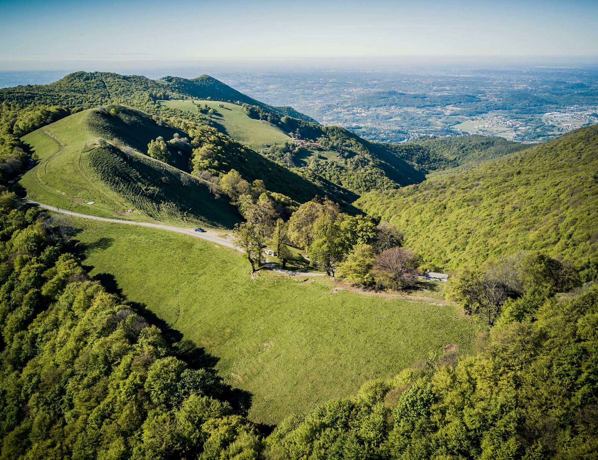
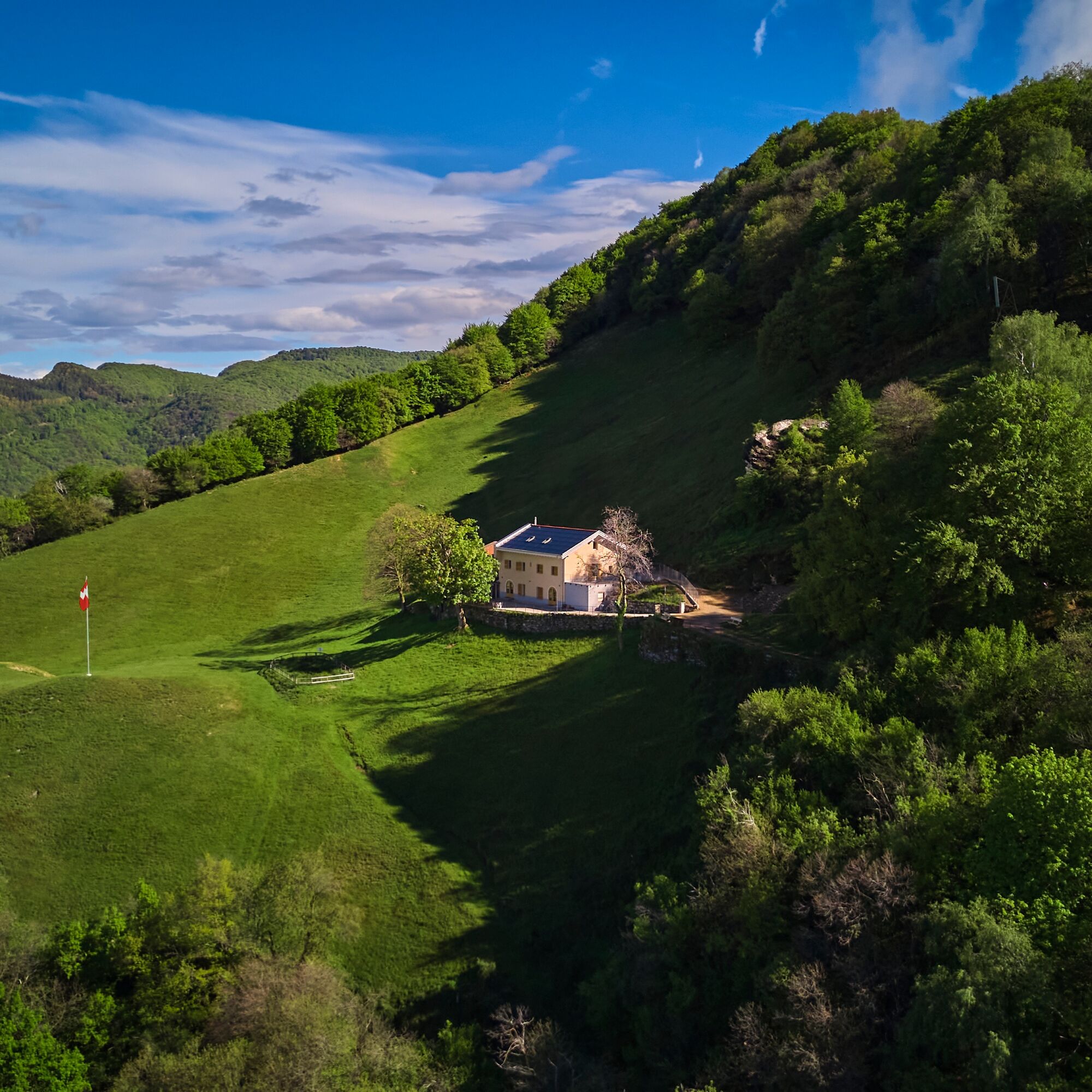
The asphalt road gradually turns into a dirt road, leading to an ancient mule track. In about 25 minutes, you reach Alpe di Caviano (967 m above sea level), an oasis of tranquility in nature, ideal for a stop with a traditional meal or to spend a night in the renovated, cozy, and modern facility (check schedules on the official website). From here, the panorama opens wide and spectacular, extending to the Alps.

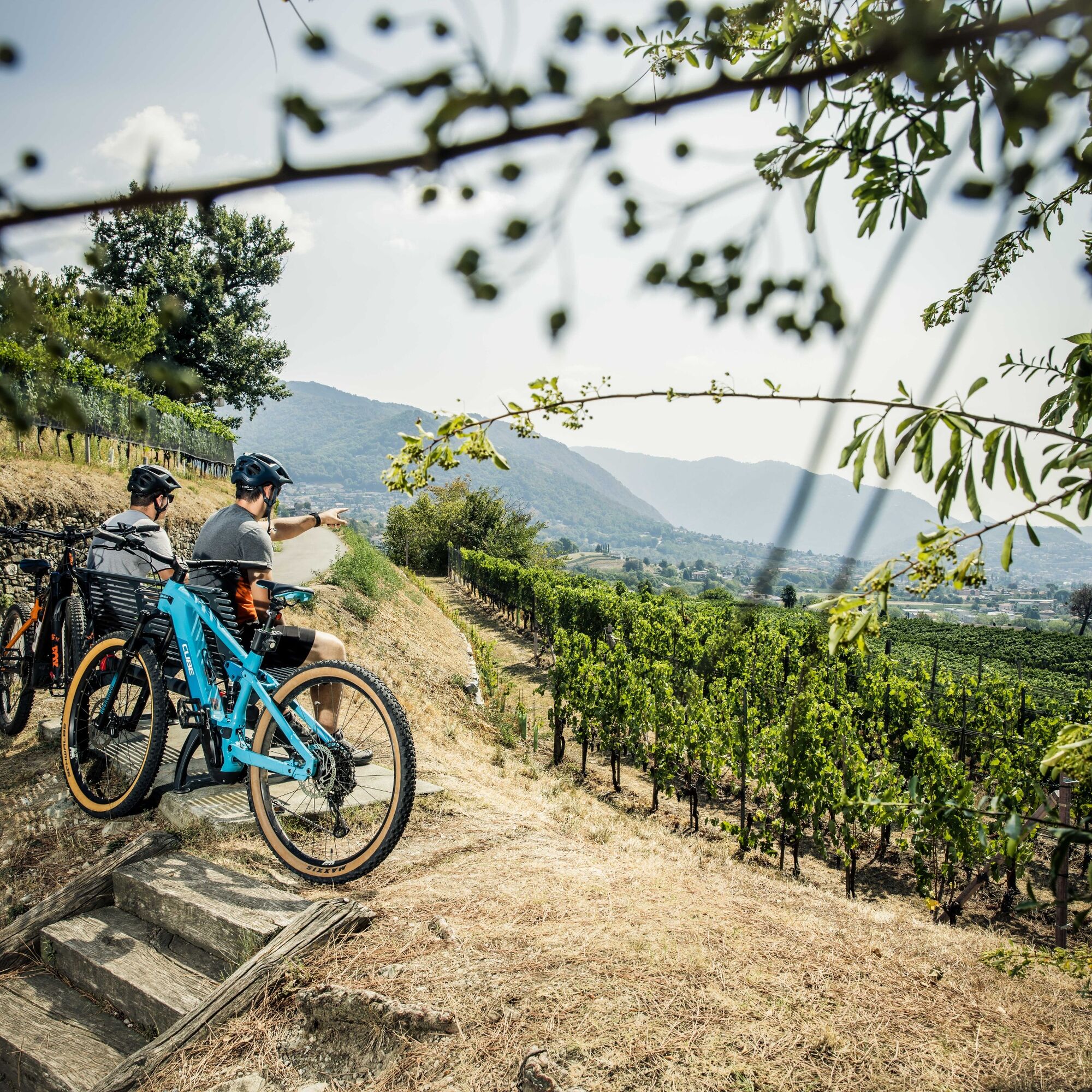
Resuming the ancient mule track, descend towards the village of Obino. From here, follow the white official signage “Itinerary among the vineyards number 1” towards Castel San Pietro until reaching the Town Hall in the historic heart of the village.

Finally, turn left onto the asphalt road, then continue towards Corteglia. From the center of the village, follow the official signage of Route 350 towards Capolago to reach the starting point at the railway station.

Along the entire route, there are several refreshment points and some fountains, making the excursion even more comfortable and enjoyable.

Trasa
Capanna La Piana
(704 m)
Schronienie
3,1 km
Dosso delle Mede
(1 157 m)
Szczyt
10,3 km
Dosso Bello
(1 136 m)
Szczyt
12,5 km
Chiesa di Sant'Eusebio
(431 m)
Miejsce kultu
18,4 km
Oratorio di San Nicola da Tolentino
(437 m)
Miejsce kultu
20,0 km
Chiesa di Santa Maria delle Grazie
(362 m)
Miejsce kultu
22,6 km
Chiesa di Santa Maria Maddalena
(281 m)
Miejsce kultu
26,8 km
Trasa
Mapa
Monte Generoso MTB
ciężki
Mountainbike
27,38 km
Capolago
(273 m)
Wioska
0,0 km
Mendrisio
(354 m)
Miasto
2,6 km
San Nicolao
(701 m)
Stacja kolejowa
3,0 km
Capanna La Piana
(704 m)
Schronienie
3,1 km
Valle della Ghiaccia
(1 025 m)
Korytarz/teren
6,3 km
Bozze
(1 167 m)
Korytarz/teren
7,3 km
Bellavista
(1 221 m)
Stacja kolejowa
8,0 km
Bellavista
(1 200 m)
Korytarz/teren
8,6 km
Osteria La Peonia
(1 160 m)
Restauracja
8,9 km
Località Bellavista
(1 172 m)
Korytarz/teren
9,2 km
Cascina d'Armirone
(1 145 m)
Korytarz/teren
9,6 km
Dosso delle Mede
(1 157 m)
Szczyt
10,3 km
Balduana
(1 105 m)
Korytarz/teren
11,2 km
Grotto Balduana
(1 101 m)
Restauracja
11,2 km
Agriturismo Dosso dell'Ora
(1 099 m)
Restauracja
11,6 km
Dosso Bello
(1 136 m)
Szczyt
12,5 km
Rifugio Alpe Caviano
(968 m)
Schronienie
14,2 km
Obino
(497 m)
Rozliczenie
17,7 km
Cantun Sura
(450 m)
Sąsiedztwo
18,1 km
Castel San Pietro
(442 m)
Wioska
18,2 km
Osteria Enoteca Cuntitt
(433 m)
Restauracja
18,3 km
Chiesa di Sant'Eusebio
(431 m)
Miejsce kultu
18,4 km
Campagna
(399 m)
Sąsiedztwo
18,7 km
Ciappelli
(416 m)
Sąsiedztwo
18,8 km
Campo di Sassi
(398 m)
Sąsiedztwo
18,9 km
Caraccio
(383 m)
Sąsiedztwo
19,3 km
Vigino
(388 m)
Korytarz/teren
19,4 km
Corteglia
(464 m)
Rozliczenie
19,7 km
Pree
(396 m)
Sąsiedztwo
20,0 km
Oratorio di San Nicola da Tolentino
(437 m)
Miejsce kultu
20,0 km
Foto-Spot Mendrisio
(389 m)
Punkt widzenia
21,9 km
Chiesa di San Sisinio
(394 m)
Miejsce kultu
21,9 km
Salorino
(473 m)
Wioska
22,3 km
Mendrisio
(354 m)
Miasto
22,4 km
Chiesa di Santa Maria delle Grazie
(362 m)
Miejsce kultu
22,6 km
Chiesa San Giovanni Battista
(363 m)
Miejsce kultu
22,6 km
Grotto del Tiglio
(280 m)
Restauracja
26,5 km
Chiesa di Santa Maria Maddalena
(281 m)
Miejsce kultu
26,8 km
Capolago
(273 m)
Wioska
27,0 km
Ristorante Svizzero
(273 m)
Restauracja
27,1 km
Capolago - Riva San Vitale
(274 m)
Stacja kolejowa
27,3 km
Informacje o wycieczce

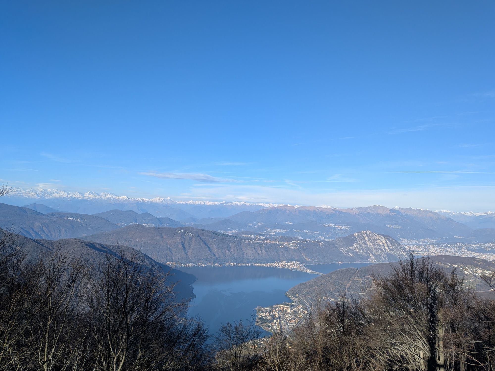
A scenic route for mountain bikes, perfect for cycling enthusiasts, winding through the breathtaking trails of Monte Generoso, a natural gem of Ticino.

Technologia
2 / 6
Stan
5 / 6
Krajobraz
5 / 6
Doświadczenie
5 / 6
Najlepsza pora roku
Sty
Lut
Mar
Kwi
Maj
Cze
Lip
Sie
Wrz
Paź
Lis
Gru
Autor
Dostarczone przez Ticino Turismo
Logo
Udostępnij trasę
Mapa
Monte Generoso MTB
ciężki
Mountainbike
27,38 km
Błąd
Wystąpił błąd. Spróbuj ponownie.
Wędrówki i tropienie

Wędrówki i tropienie

Pobierz dla iOSPobierz dla systemu Android
Wędrówki i tropienie
Ponad 550.000 propozycji wycieczek, szczegółowe mapy i intuicyjny planer tras sprawiają, że aplikacja jest niezbędna dla wszystkich entuzjastów przyrody.
bergfex