


Stage 1: Frasco-Efra Hut
Poziom trudności: T3


The hike starts in Frasco, accessible by car or bus (Locarno-Tenero-Sonogno line). A mostly flat forest path runs along the Efra stream up to the Montada alpine pasture. The type of vegetation easily indicates...
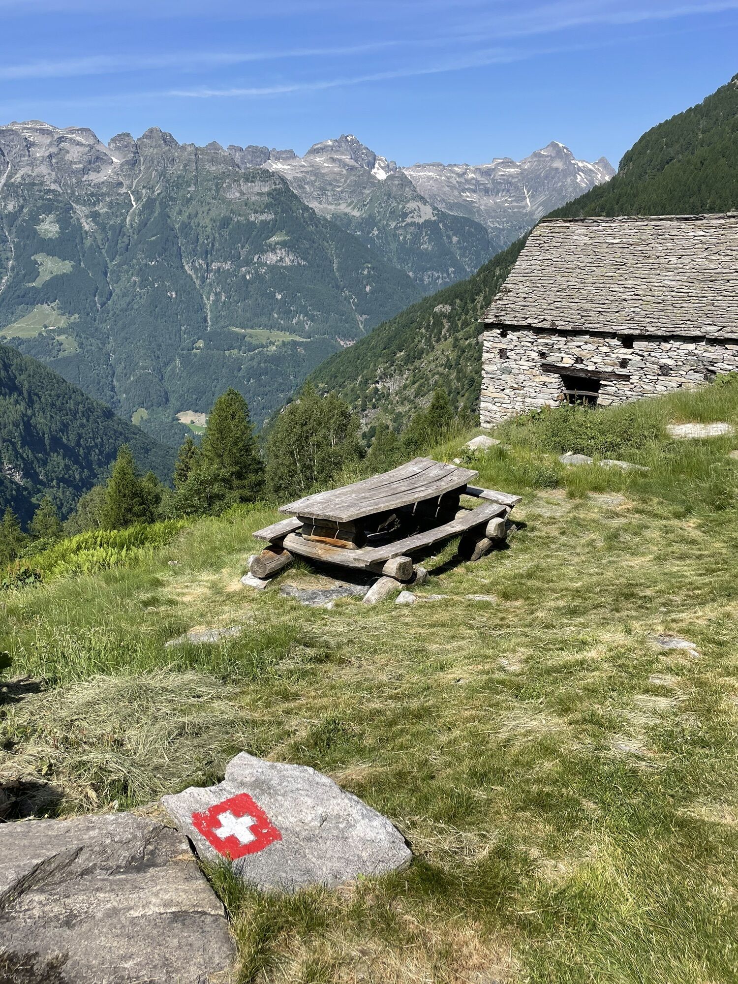
The hike starts in Frasco, accessible by car or bus (Locarno-Tenero-Sonogno line). A mostly flat forest path runs along the Efra stream up to the Montada alpine pasture. The type of vegetation easily indicates the altitude: maples, chestnuts, and larches. After Montada, the path becomes steep and quickly gains altitude. The Alpe dell’Efra is a lush mountain where cows were once grazed and where there is now a bivouac shelter to find refuge from bad weather.
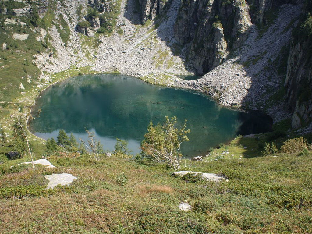
Following an ascending traverse you reach Lake Efra, which shines like a diamond in the sun. Those who wish can refresh themselves in its clear waters and draw new energy to face the last ascent to the hut.
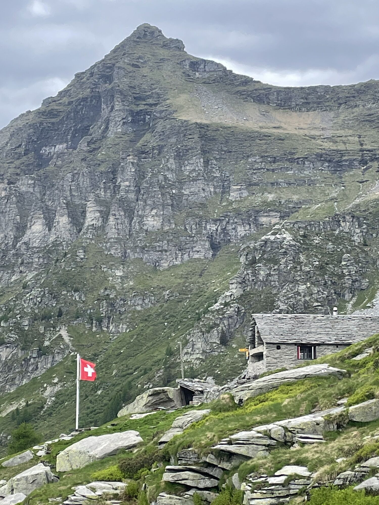
The Efra Hut (June-October) is a self-managed facility situated on a large meadow above the lake and enjoys a fantastic panorama. It has 25 beds, toilets, cooking facilities, and drinks available for purchase.


Frasco, Church-Mont Val d'Efra-Lake Efra-Efra Hut
Trekking backpack (approx. 50 liters) with rain cover
Sturdy and comfortable shoes, possibly change of shoes / sandals
Clothing suitable for weather conditions and durable, layering principle
Change of clothes
Trekking poles
Sun and rain protection
Provisions and portable water
First aid kit
Pocket knife
Mobile phone
Headlamp
Map material
Identity documents
Toiletry bag and travel towel
Detergent for hand washing and rope for hanging laundry, camping equipment (tent, sleeping mat, sleeping bag, cooking equipment), possibly equipment for the hut
Swiss Paths - Safe hiking
T3


Popularne wycieczki w okolicy
-
3,3
Entlang der Verzasca von Sonogno via Brione nach Lavertezzo
światłoWędrówka 14,5 km -
4,8
Verzasca Dam-Mergoscia-Corippo-Lavertezzo
średniWędrówka 13,0 km -
5,0
Valle del Salto round route (SvizzeraMobile 611)
średniWędrówka 8,84 km -
5,0
Lavertezzo-Brione Verzasca
światłoWędrówka 6,50 km -
4,3
Revöira Ethnographic Trail (SwitzerlandMobile 629)
średniWędrówka 7,97 km -
Maggia-Someo-Maggia
światłoWędrówka 15,5 km -
4,0
Vogorno-Alpe Bardughè-Vogorno
średniWędrówka 12,2 km -
Via Alta Vallemaggia - 1st stage: Cimetta-Capanna Alpe Nimi
ciężkiWędrówka 10,2 km -
5,0
Valle Verzasca Trail
średniTrailrunning 24,1 km -
Sentiero Verzasca (SvizzeraMobile 74)
średnidługodystansowy szlak pieszy 34,4 km
Wędrówki i tropienie


Nie przegap ofert i inspiracji na następne wakacje
Twój adres e-mail została dodana do listy mailingowej.