


Broglio-Capanna Tomeo-Prato-Sornico
Poziom trudności: T3
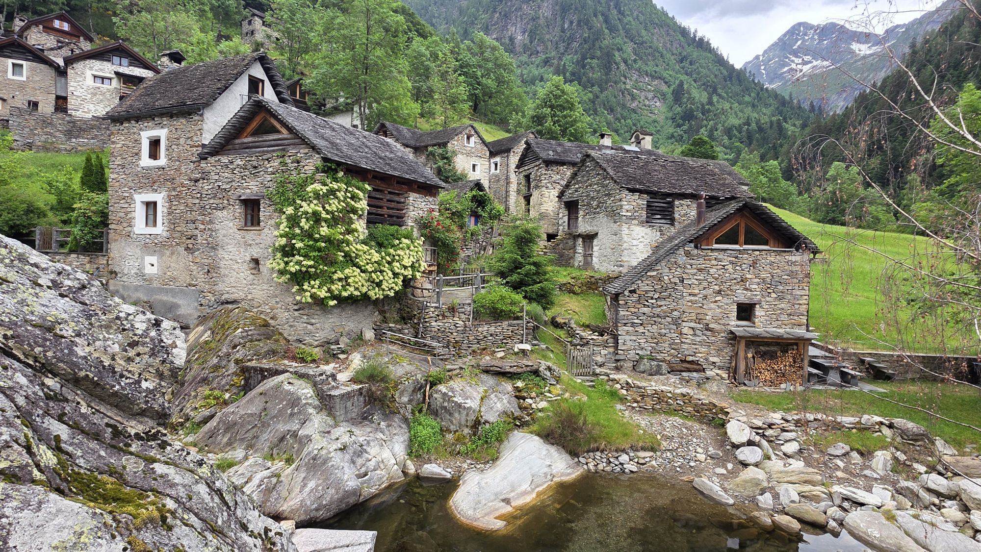
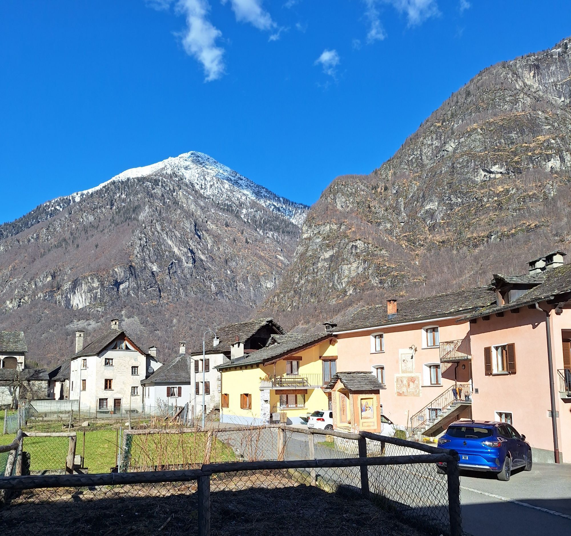
The starting point of this two-day mountain hike is Broglio; it includes an overnight stay at the Tomeo refuge.
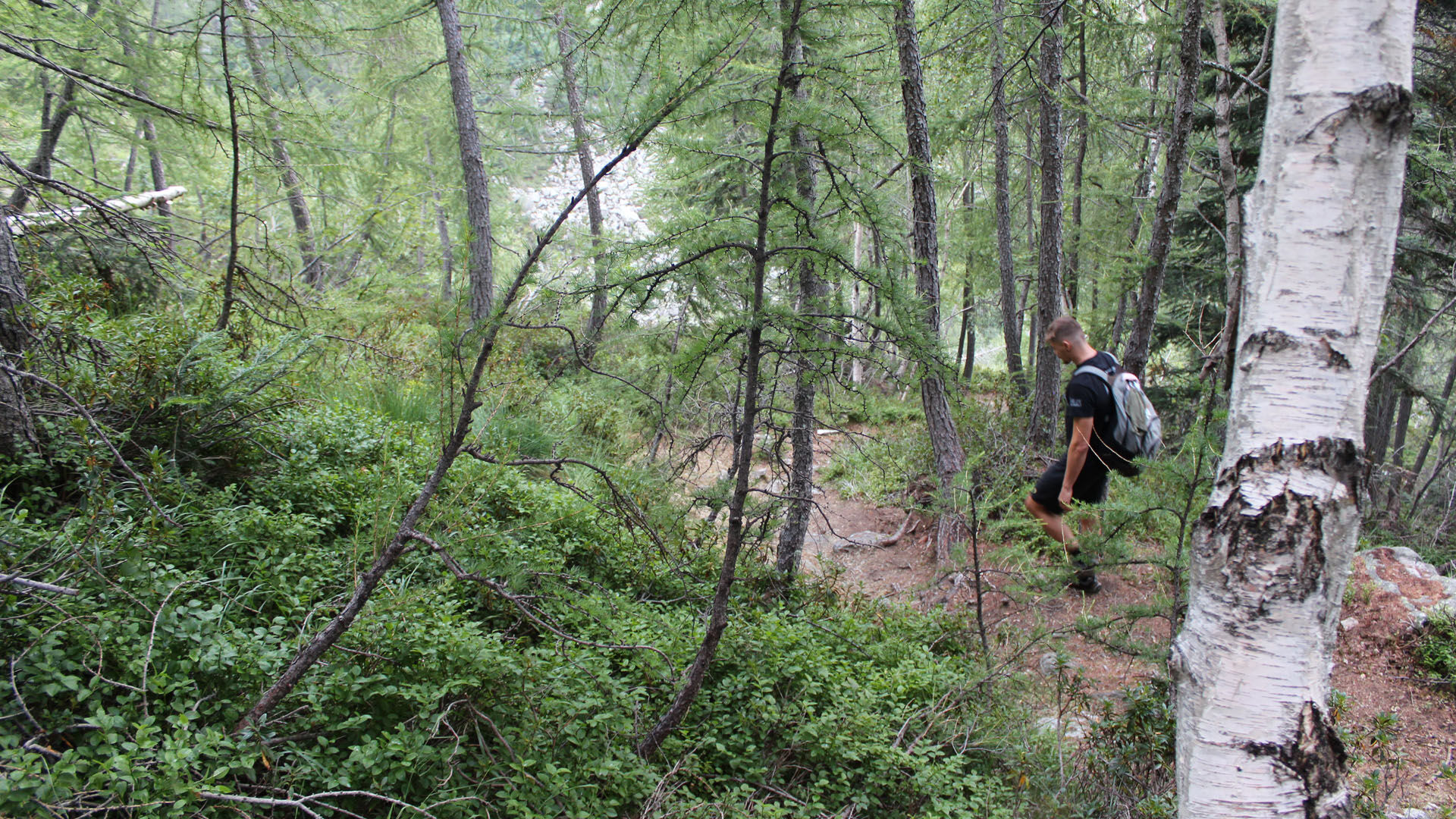
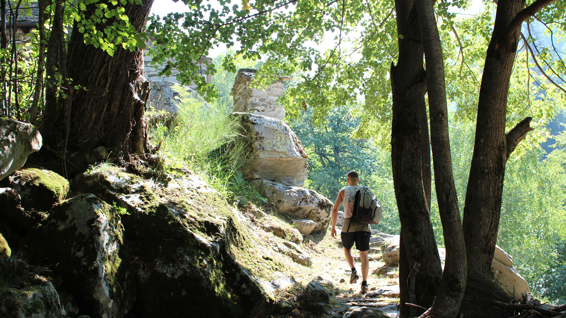
In Broglio, you start by going down to the river and crossing the bridge. The path climbs...
The starting point of this two-day mountain hike is Broglio; it includes an overnight stay at the Tomeo refuge.
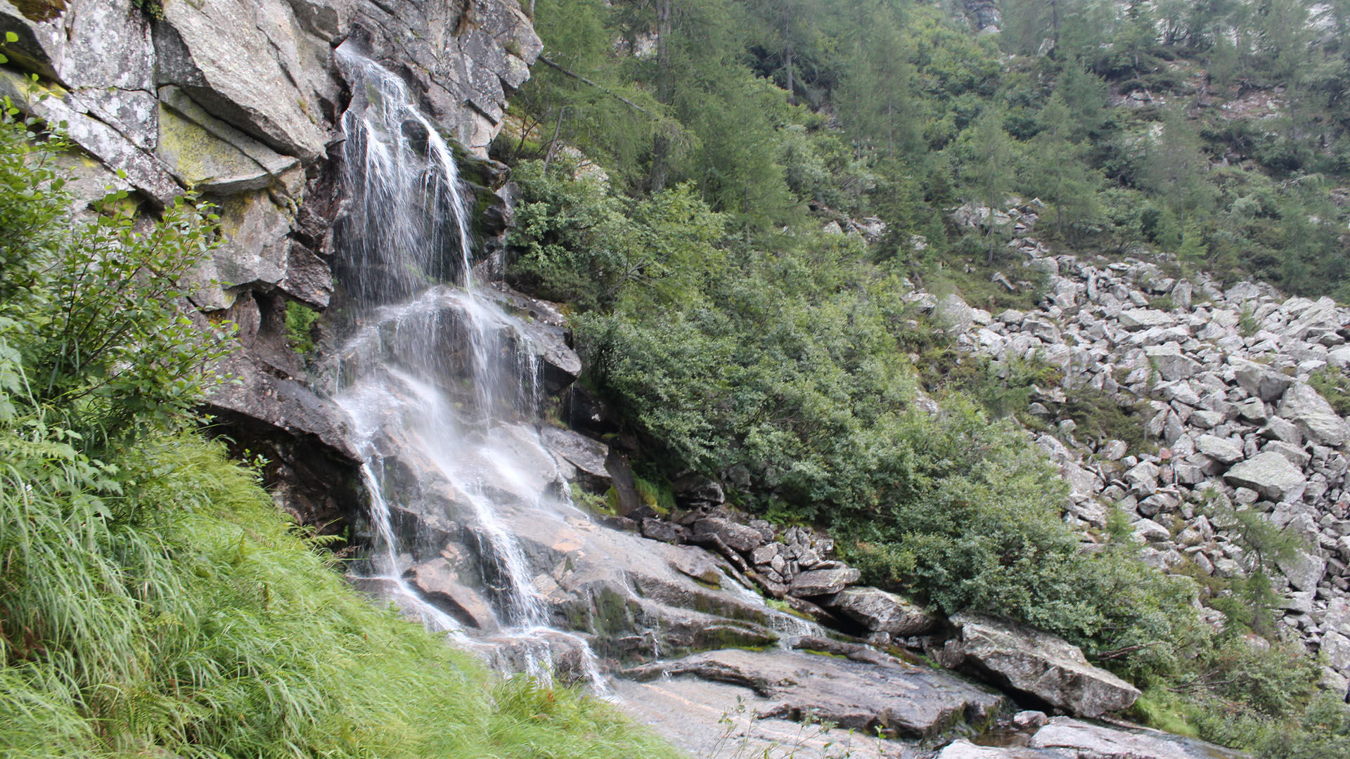
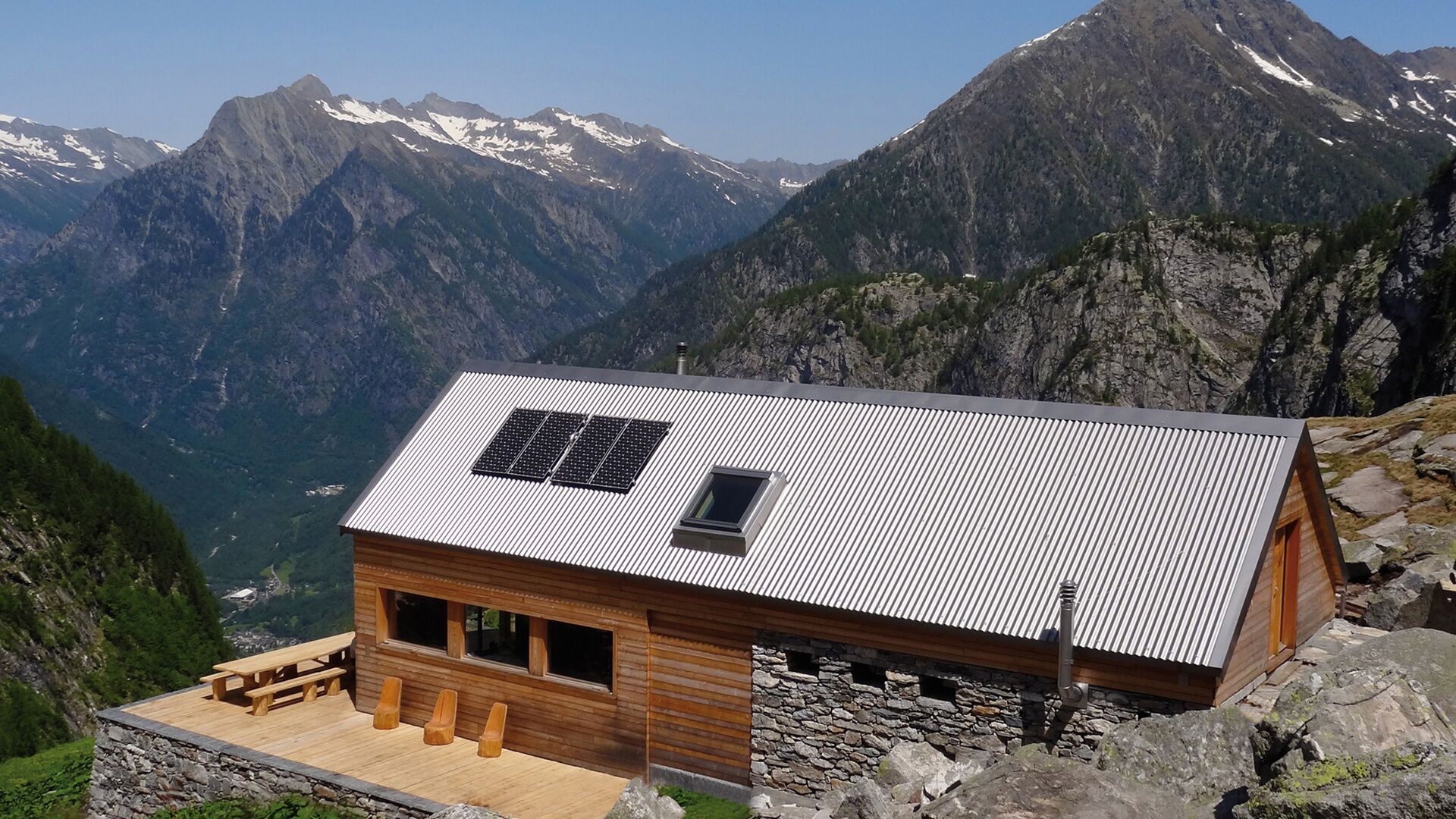
In Broglio, you start by going down to the river and crossing the bridge. The path climbs gently to the Bivio Rifugio Corte Grande, then ascends through the Tomè valley to the Tomeo refuge, which is attended between June and October, although it remains open all year round.
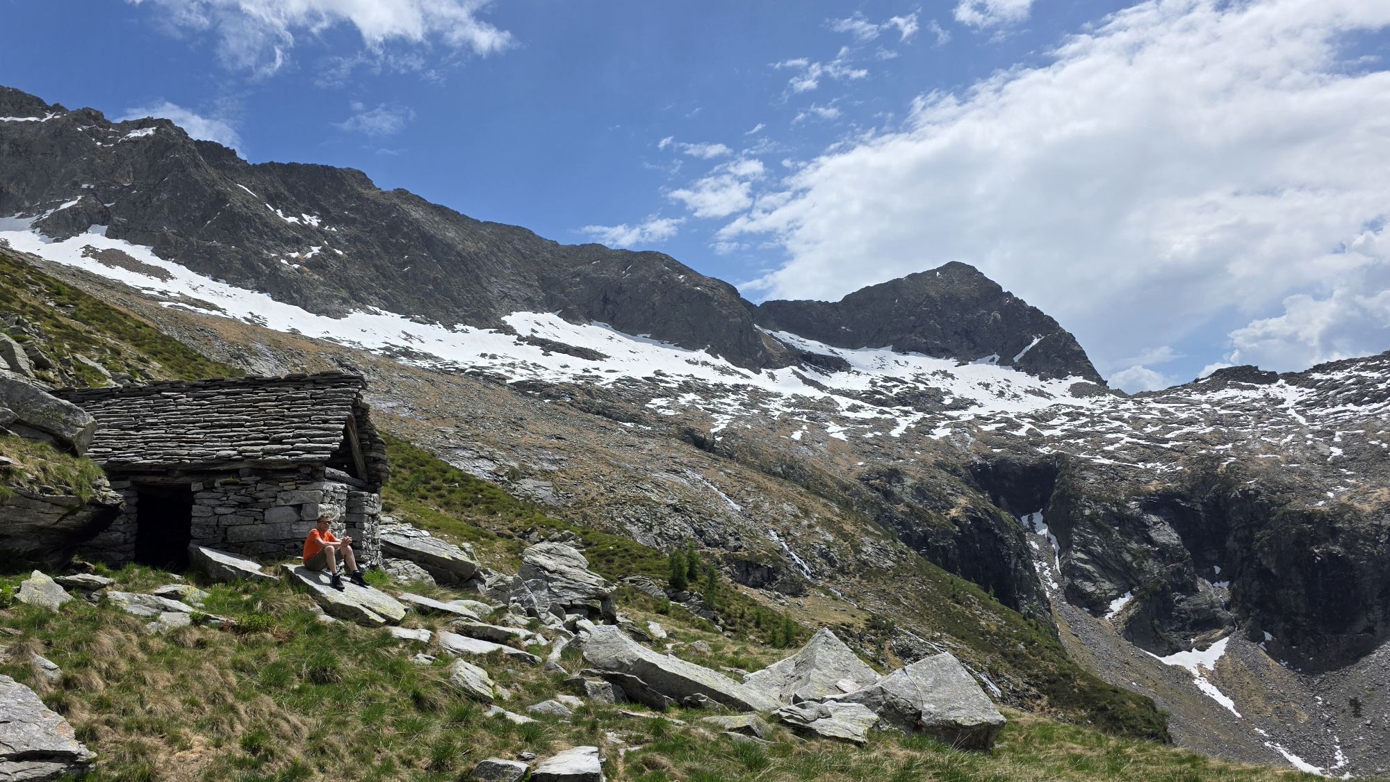
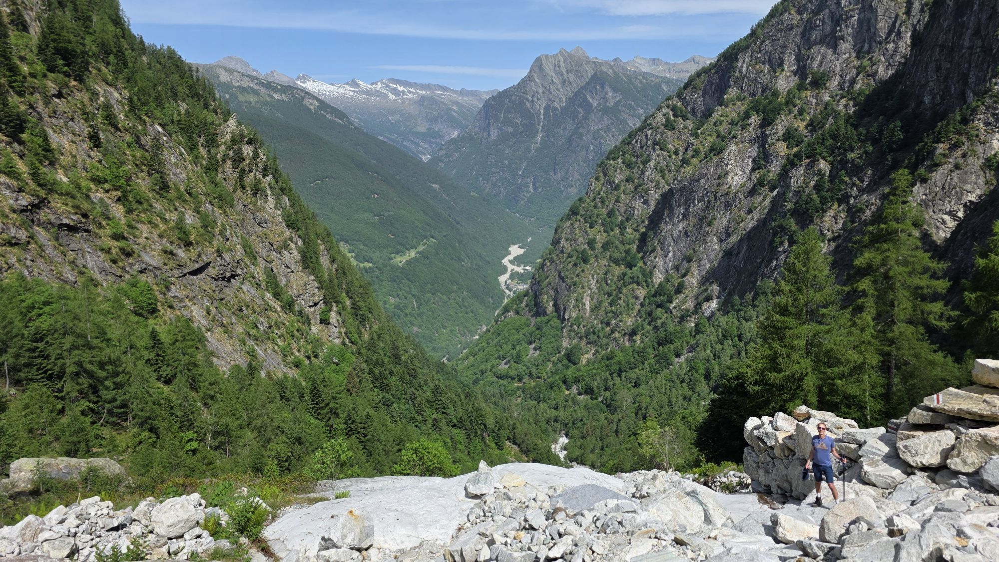
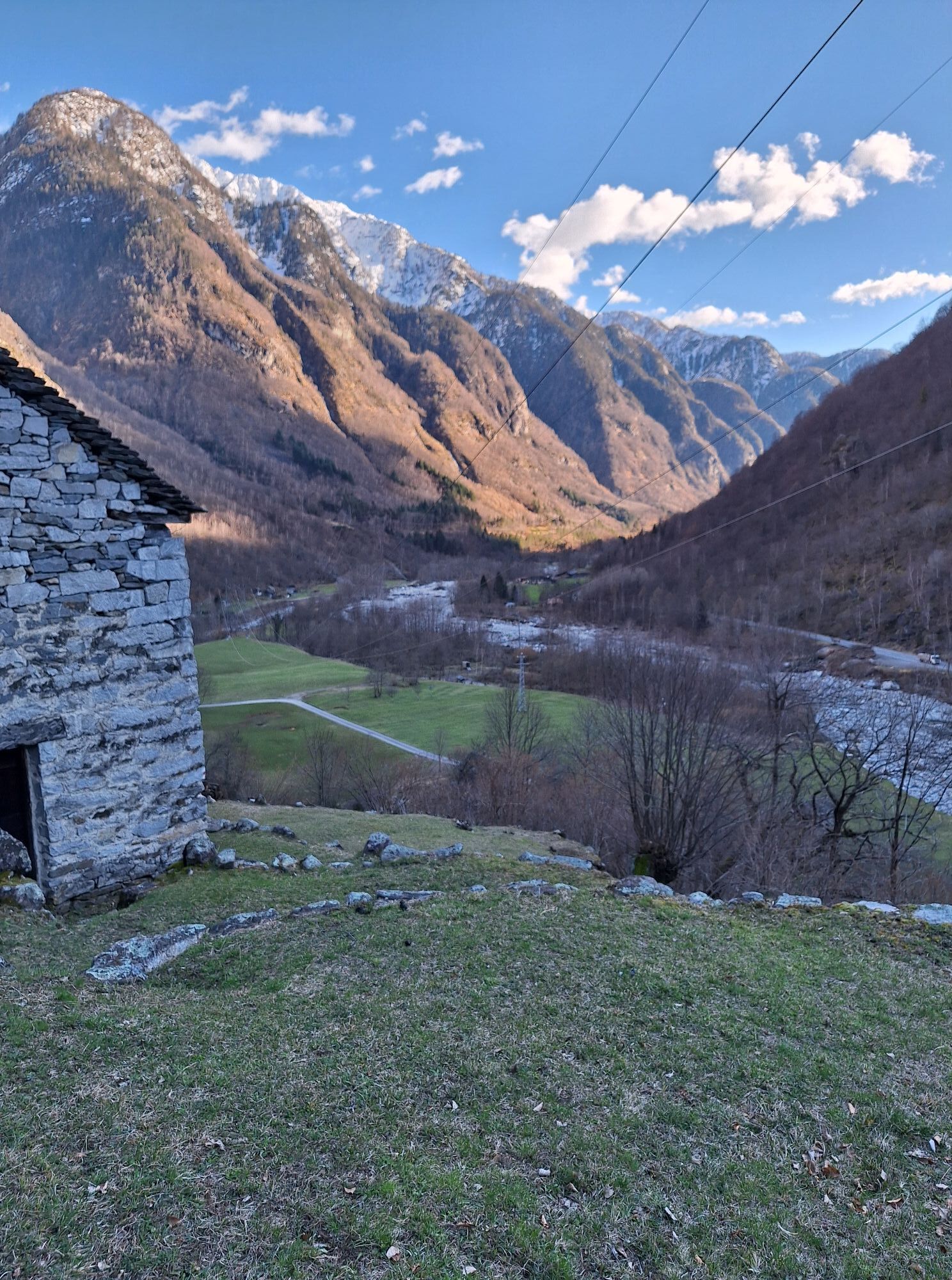
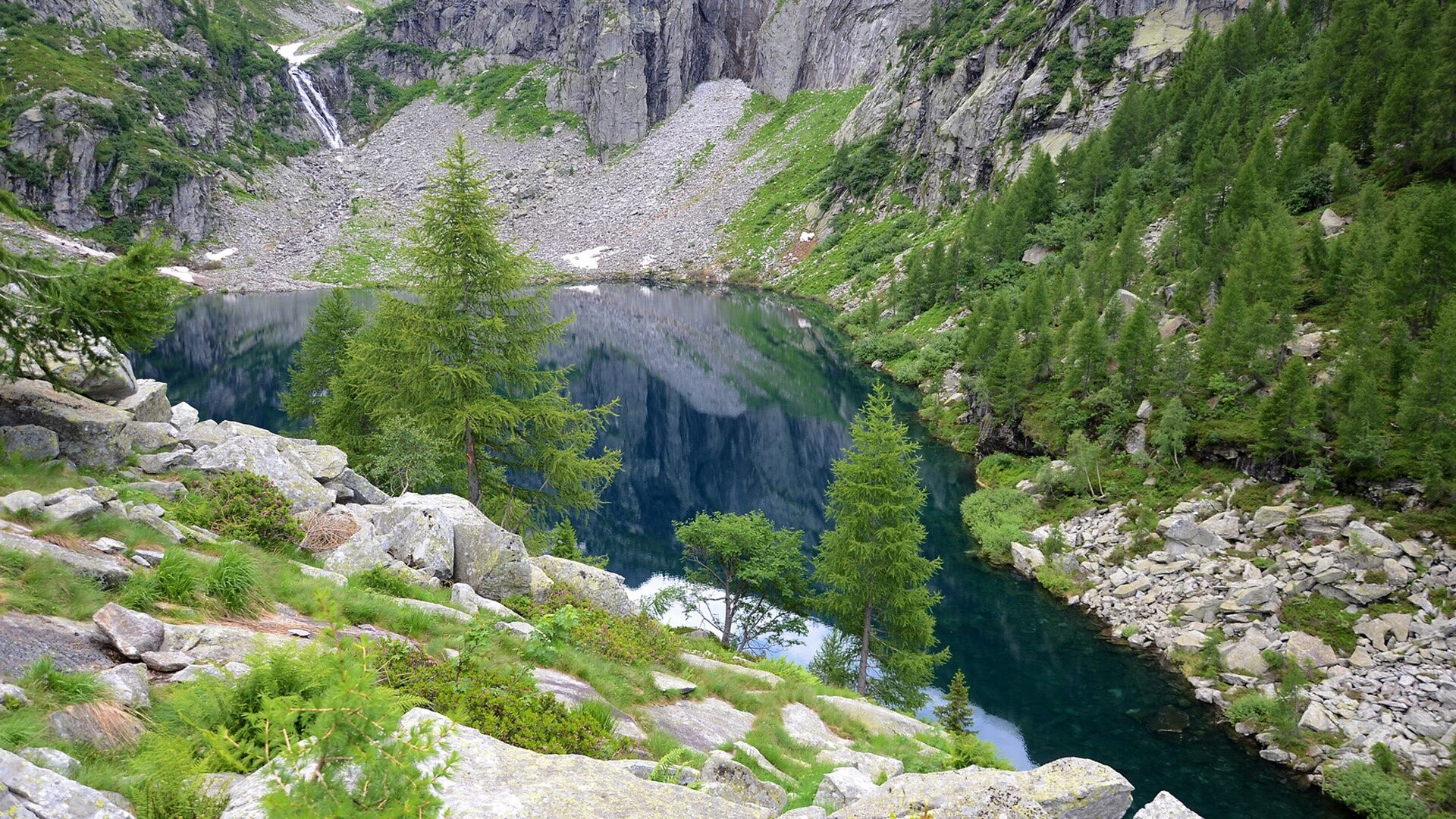
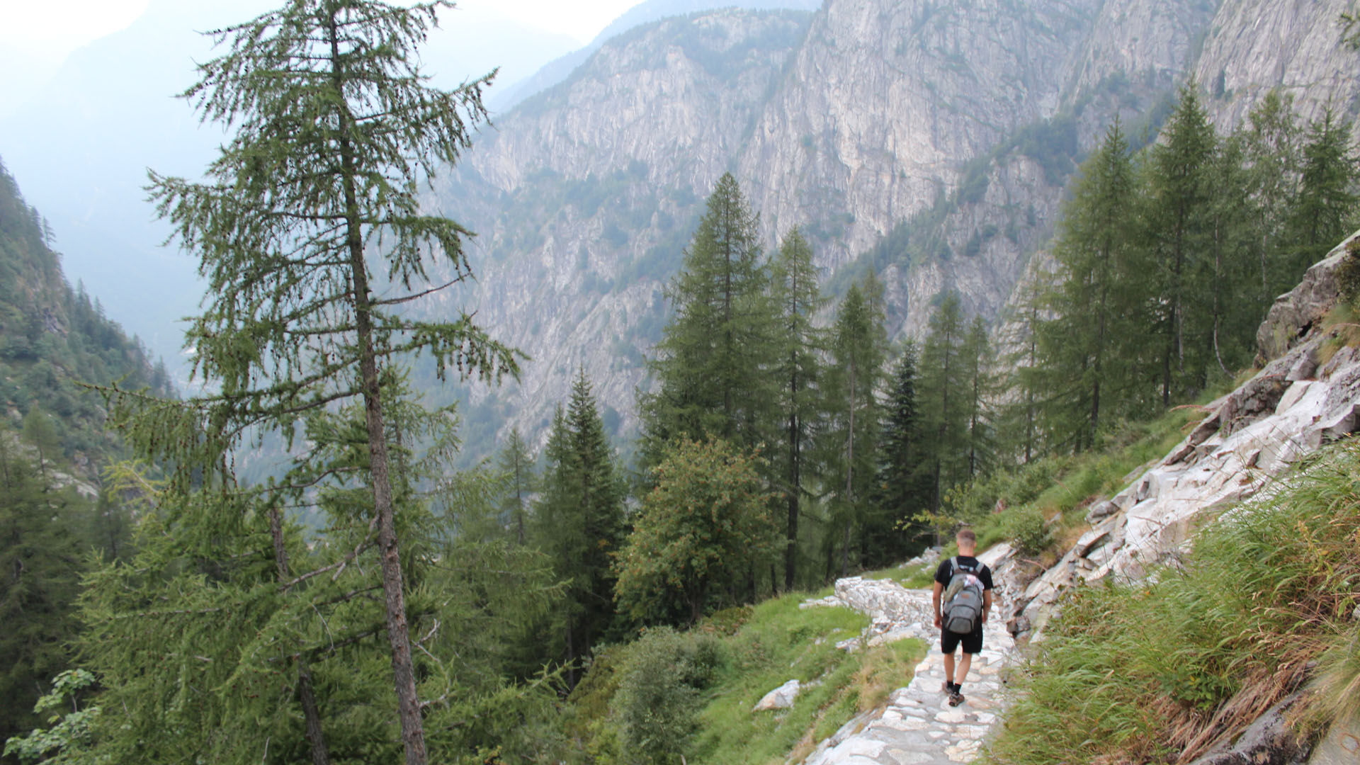
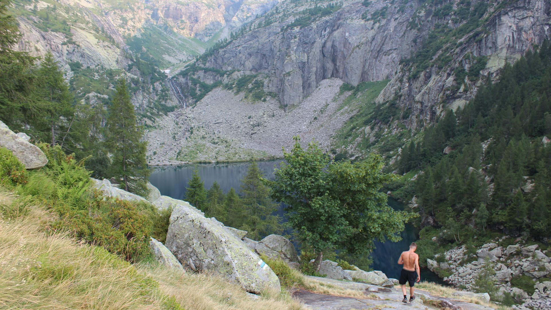
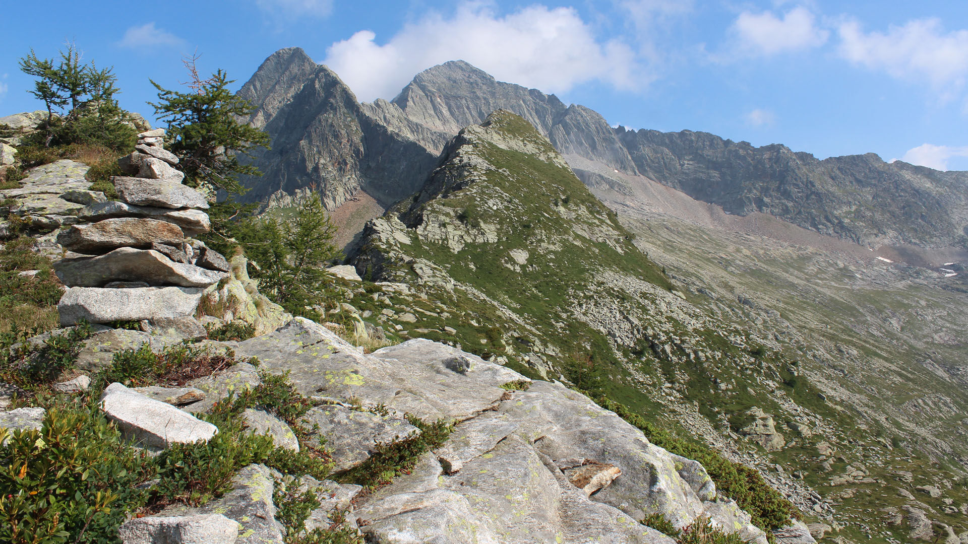
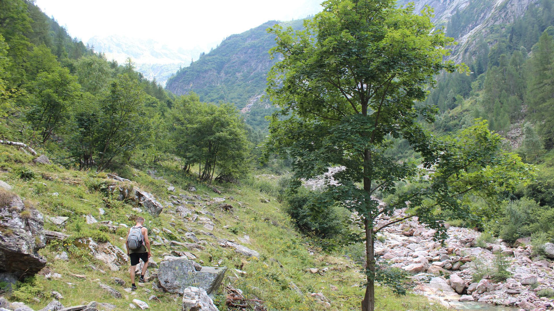
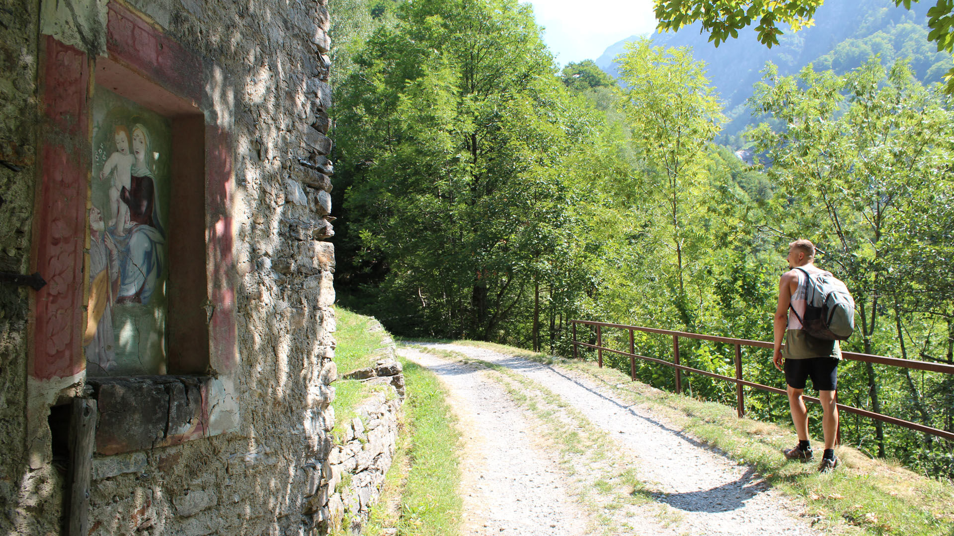
The ascent to the Bassa di Pertüs is steep. Below are the green-blue waters of the Lago di Tomè. The path descends through the pristine Valle di Pertüs as steeply as it ascended. Once on the Alpe Pertüs the path flattens out and, from the Monti di Predee, the final leg to Prato-Sornico is a welcome stroll.

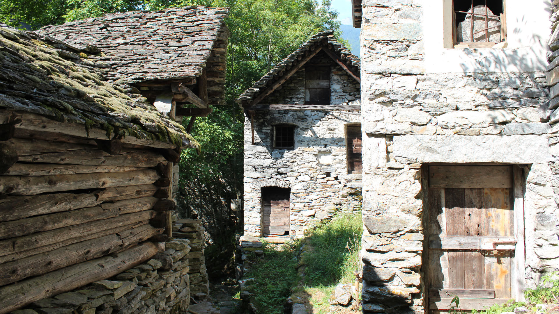
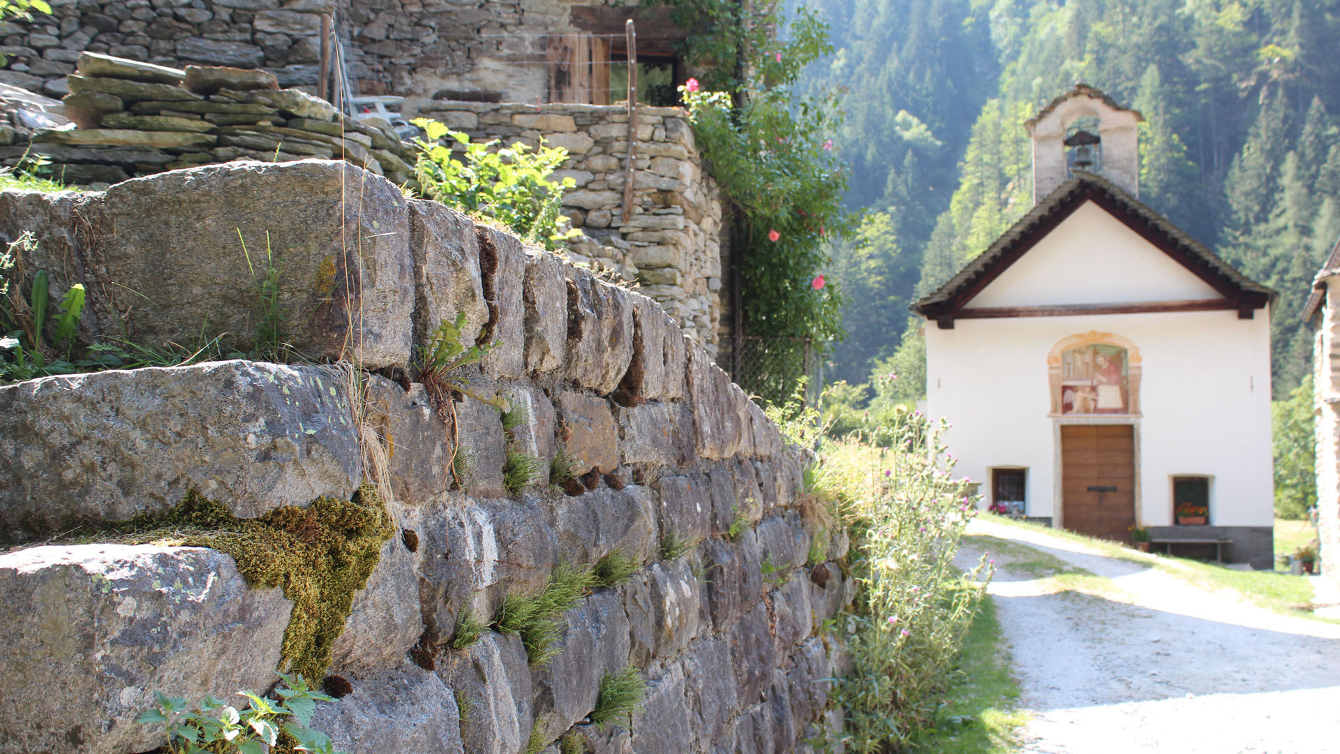
Broglio-Capanna Tomeo-Bassa di Partús-Cantón Fadios-Alpe Partús-Pradé-Faèd-Presa-Prato Sornico
Tak
Trekking backpack (approx. 50 liters) with rain cover
Comfortable and sturdy footwear, second pair of shoes / sandals if necessary
Adequate and durable outdoor clothing in multiple layers
Change of clothes
Telescope sticks
Sun and rain protection
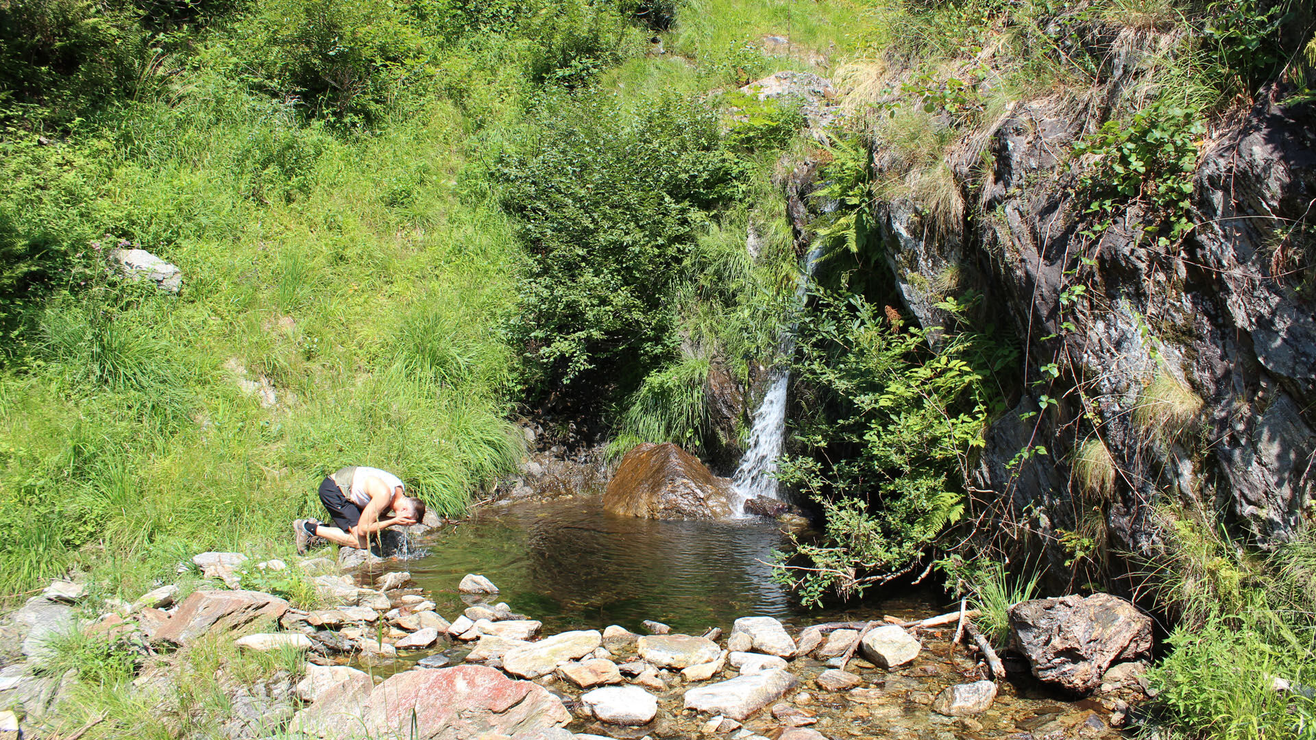
Snacks and drinking water
First aid kit
Penknife
Mobile phone
Headlight
Maps
Travel documents
Toilet bag and travel towel, travel detergent and clothesline, camping equipment if necessary (tent, sleeping mat, sleeping bag, cooking equipment), hut equipment if necessary
From Locarno railway station: bus 315 towards Cavergno, Paese. Alight at Cevio, Centro Bignasco, Posta and change to 334 to Fusio, Paese. Alight at the bus stop Broglio, Paese.
Return from Prato Sornico: Bus 334 to Bignasco, Posta. Take the bus 315 towards Locarno Stazione. Alight at Locarno station. Further information:
T3
Popularne wycieczki w okolicy
- 3,3
Entlang der Verzasca von Sonogno via Brione nach Lavertezzo
światłoWędrówka 14,5 km - 5,0
Valle del Salto round route (SvizzeraMobile 611)
średniWędrówka 8,84 km - 5,0
Lavertezzo-Brione Verzasca
światłoWędrówka 6,50 km - 4,7
Fusio-Lake Mognola-Fusio
średniWędrówka 8,94 km Maggia-Someo-Maggia
światłoWędrówka 15,5 km- 4,0
Foroglio-Calnègia-Foroglio
średniWędrówka 8,37 km - 4,5
Brione Verzasca-Sonogno
światłoWędrówka 8,28 km Via Alta Vallemaggia
ciężkiWędrówka 169,7 kmLago del Naret-Sasso Nero-Lago del Naret
średniWędrówka 8,55 km- 5,0
Bignasco-San Carlo
średniWędrówka 12,8 km

Wędrówki i tropienie


Nie przegap ofert i inspiracji na następne wakacje
Twój adres e-mail została dodana do listy mailingowej.