







Via GeoAlpina - Stage 1: Personico-Sonogno



Take the bus from Biasca in the Leventina Valley to Personico, the start of this, the first stage. As you climb up the Val d'Ambra you get a great view of the Leventina Valley, known for the Gotthard Base...
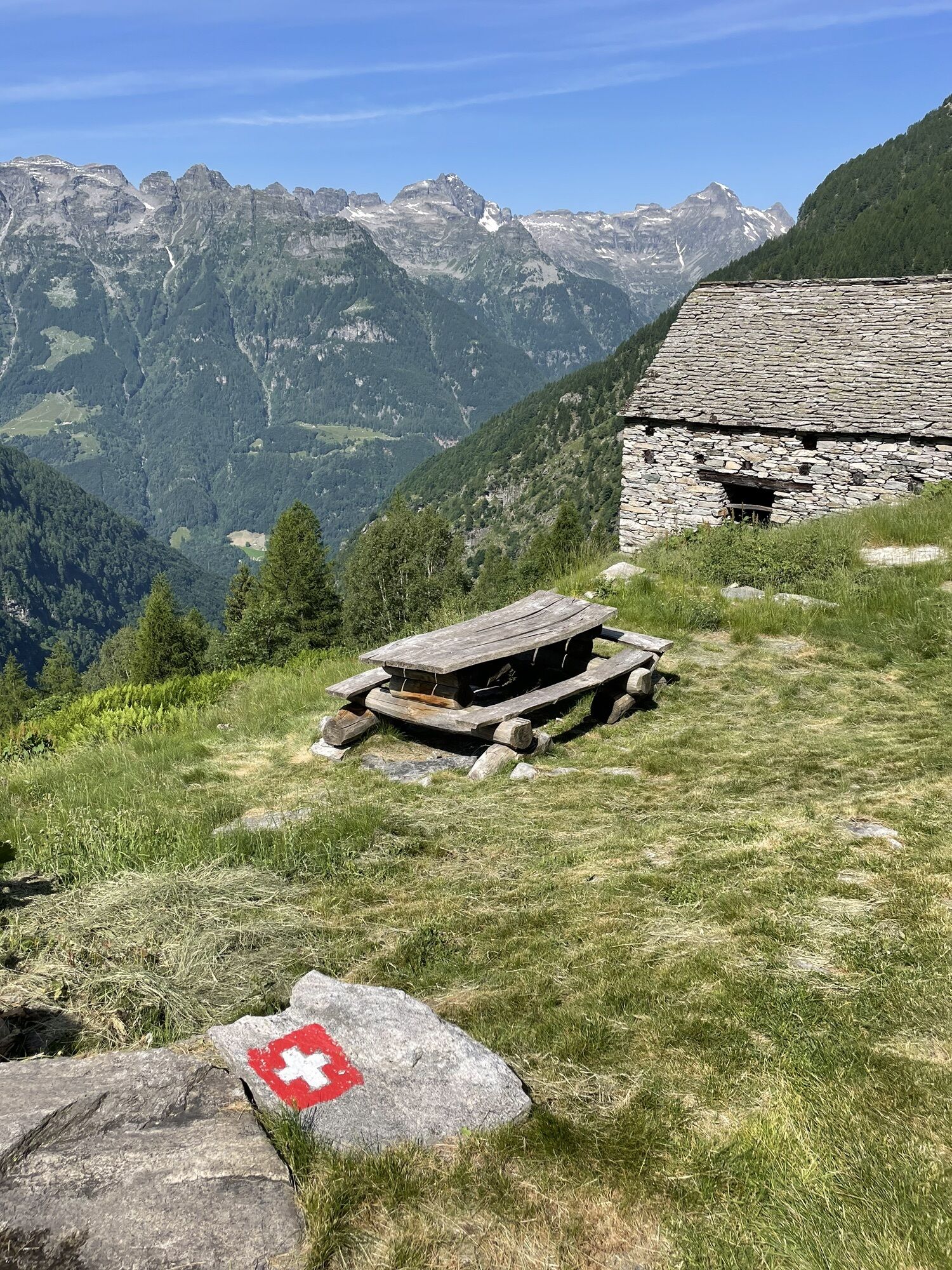
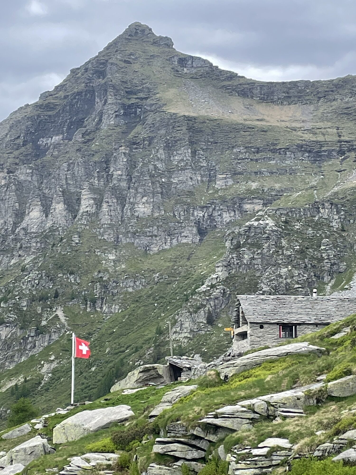
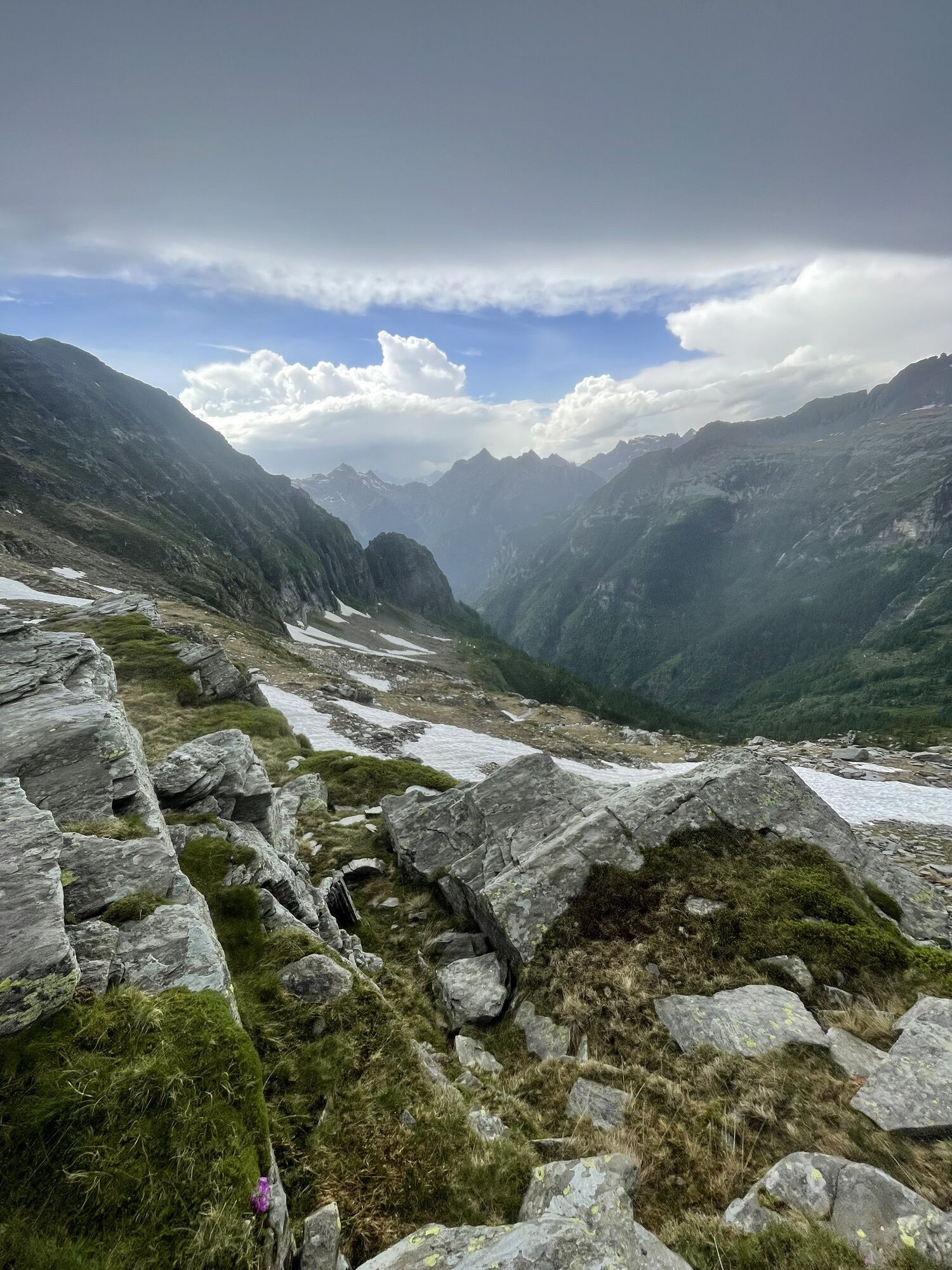
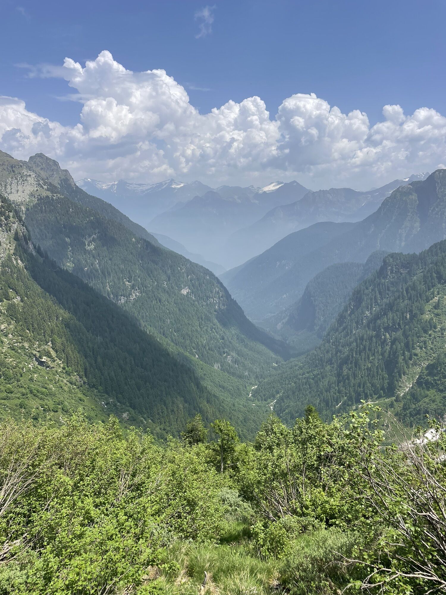
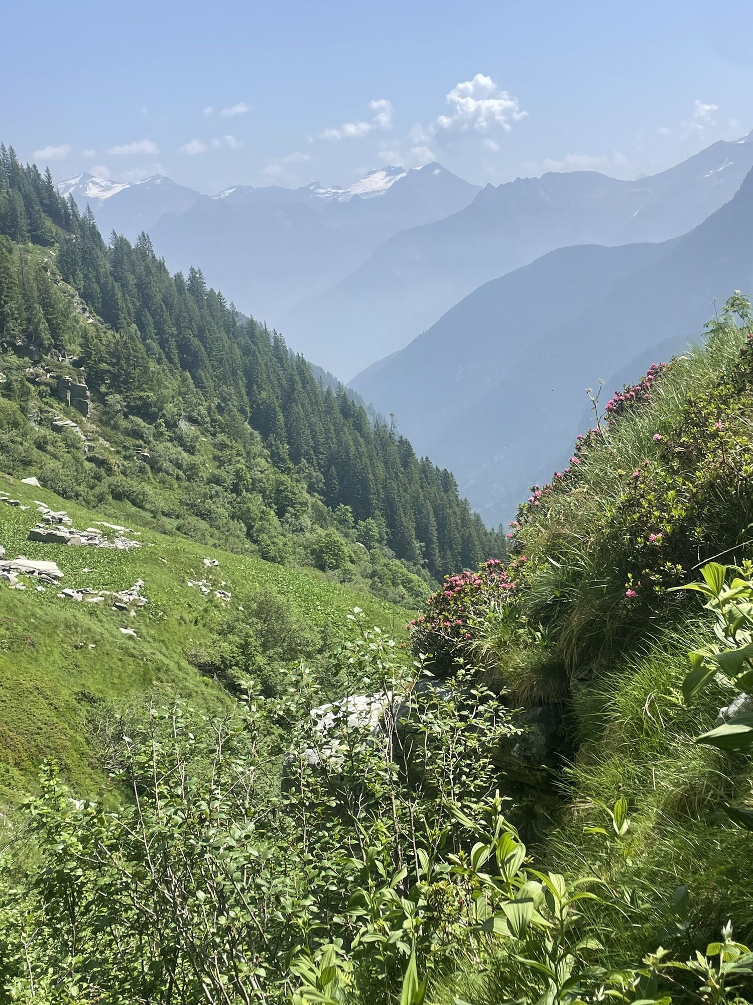
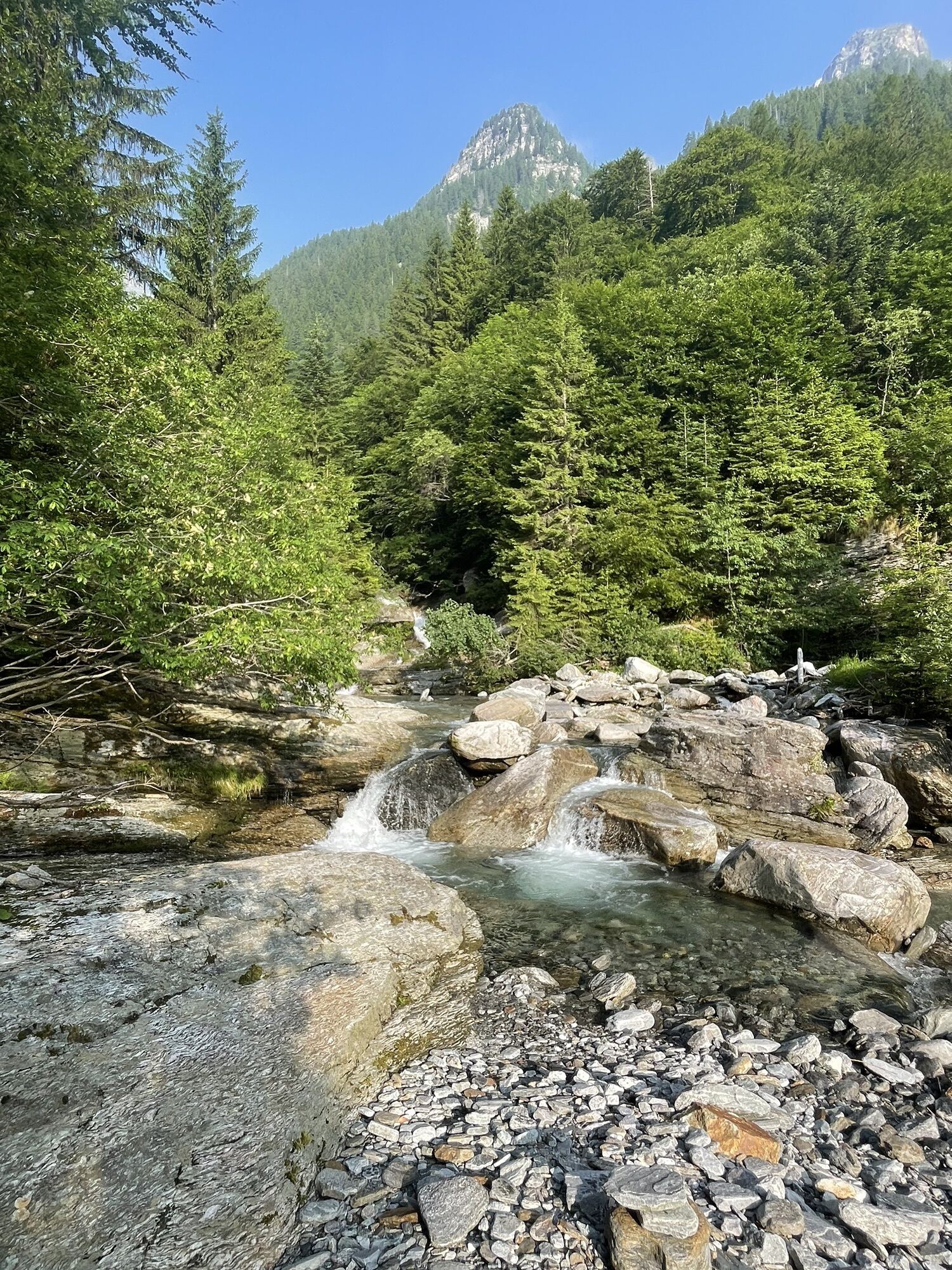
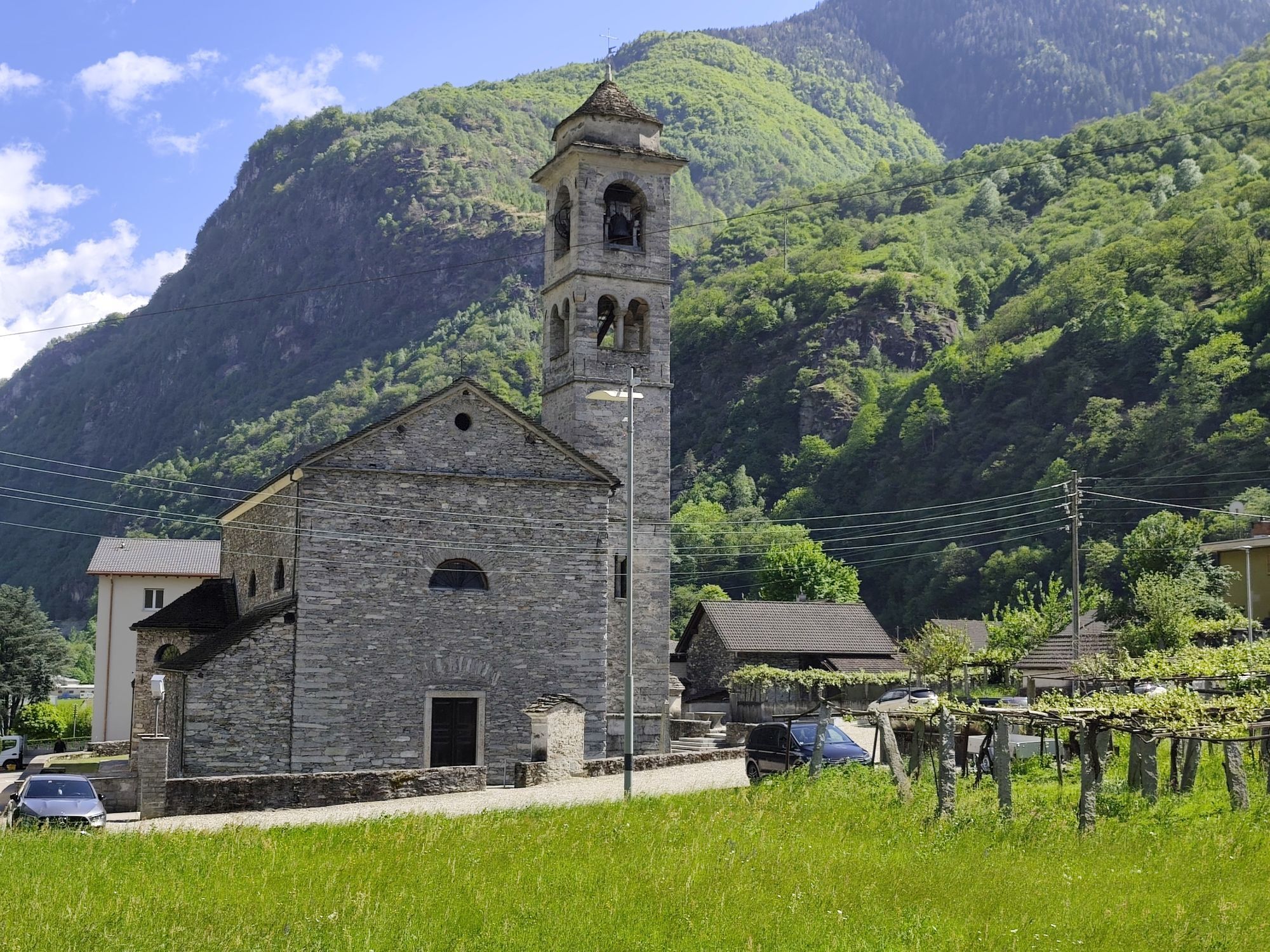
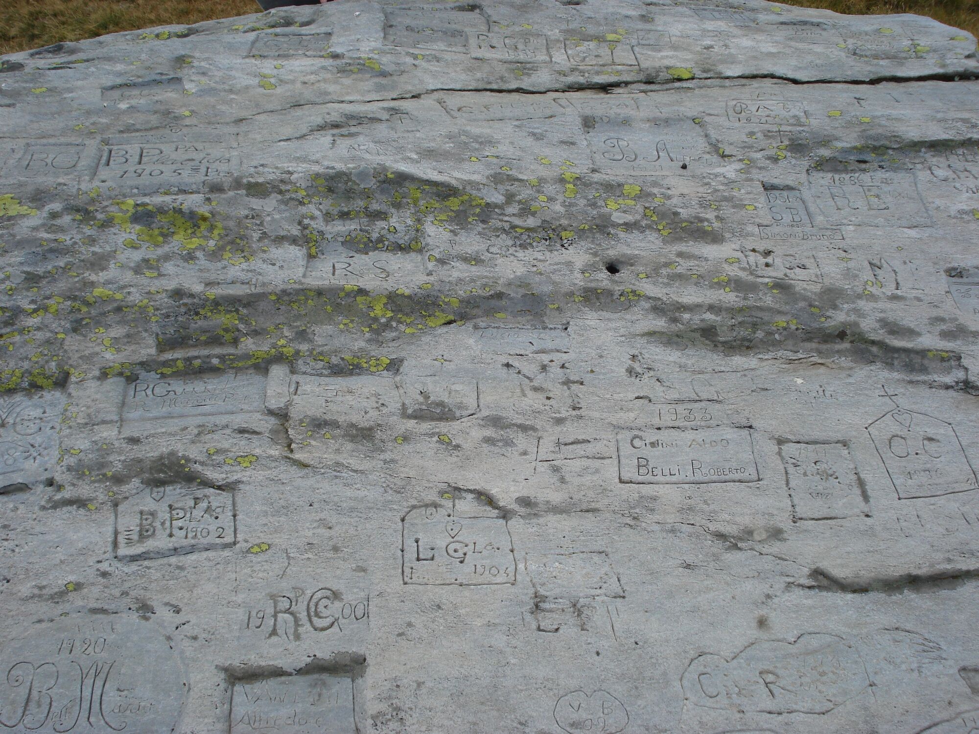
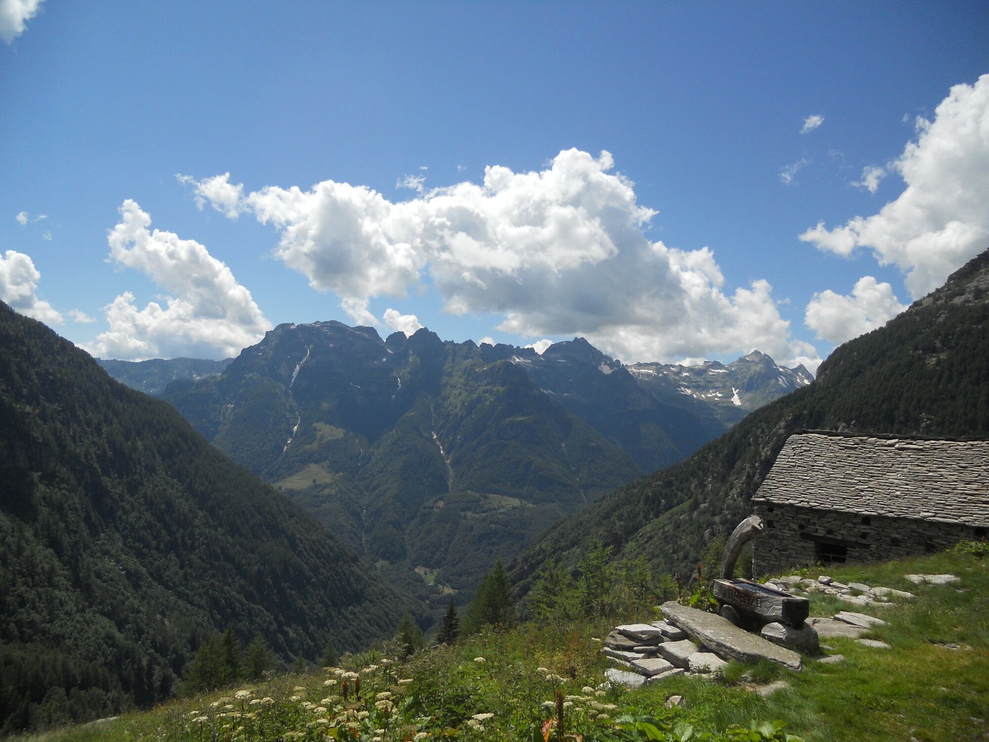
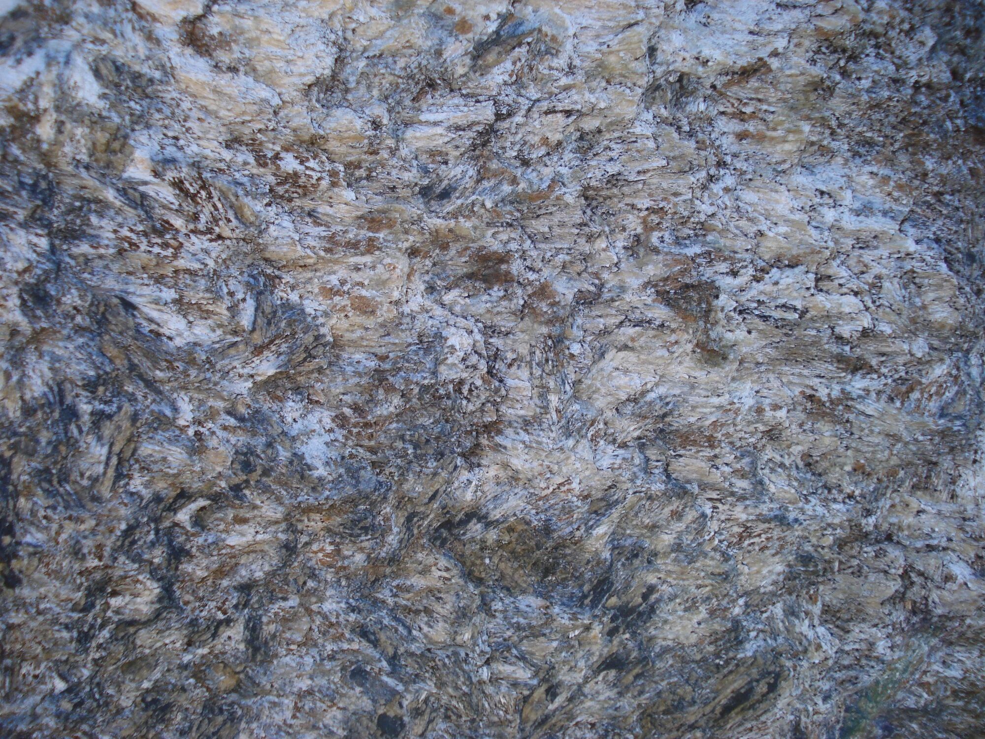
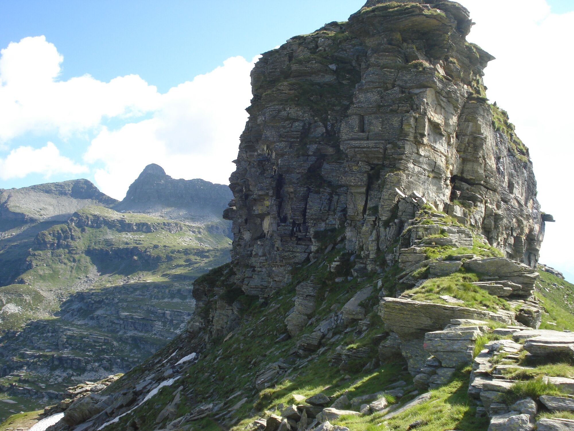
Take the bus from Biasca in the Leventina Valley to Personico, the start of this, the first stage. As you climb up the Val d'Ambra you get a great view of the Leventina Valley, known for the Gotthard Base Tunnel (AlpTransit) among other things. On reaching Alpe Gagnone, you leave the forest and the lush meadows behind, and enter a mountain landscape. Passo di Gagnone, which marks the point where the Valle Leventina ends and the Valle Verzasca starts, is strewn with lenses (tapered bodies) of rock coming from the Earth's mantle. Soapstone (steatite) abounds in this area and was widely used in the past to construct "laveggi" (stone pots). The descent to Capanna Efra takes you through a particularly gorgeous landscape. The flat surfaces of the natural terraces here are due to local geologic structures and run parallel to the sides of the large folds that cut through the area. The unmanned Efra mountain hut was restored in 2021. Drinks can be purchased here. A little below this, the trail goes past the eponymous alpine lake. The many geological folds in Val d'Efra show how the Alps were originally formed. On reaching Frasco, you can either walk or catch the PostBus to the village of Sonogno nearby. Sonogno offers a choice of rooms for the night.

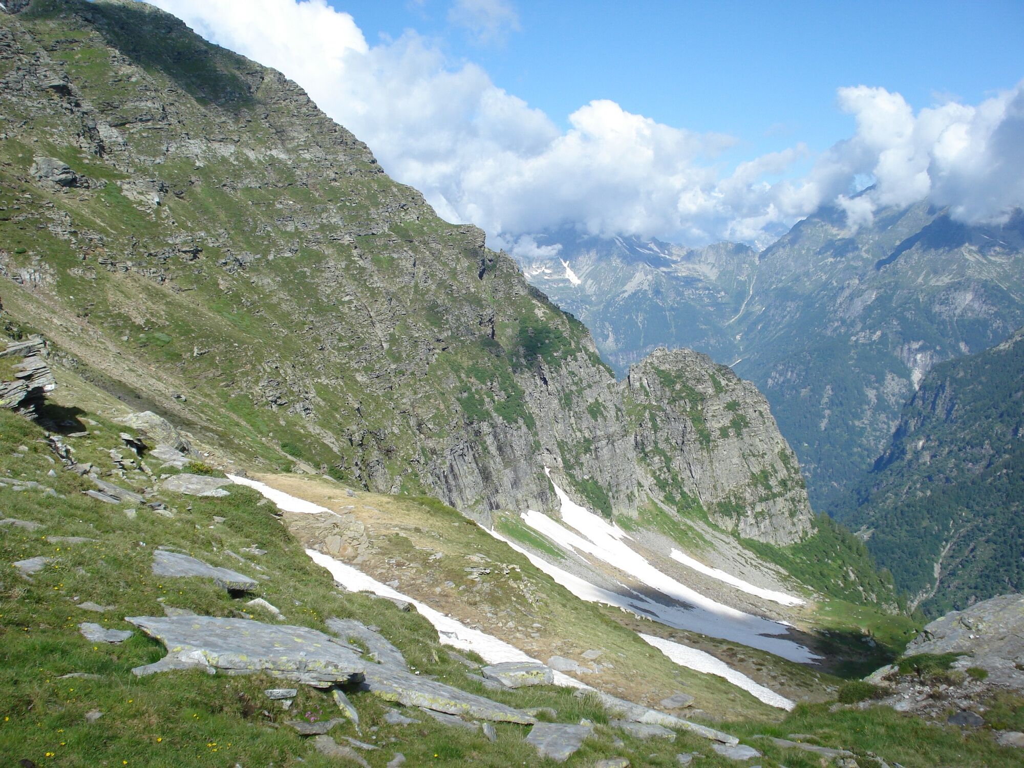
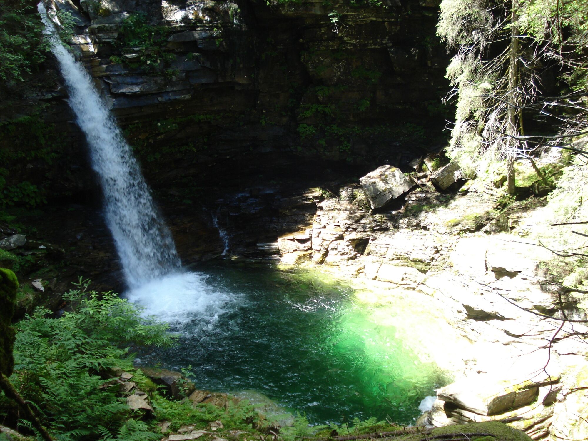
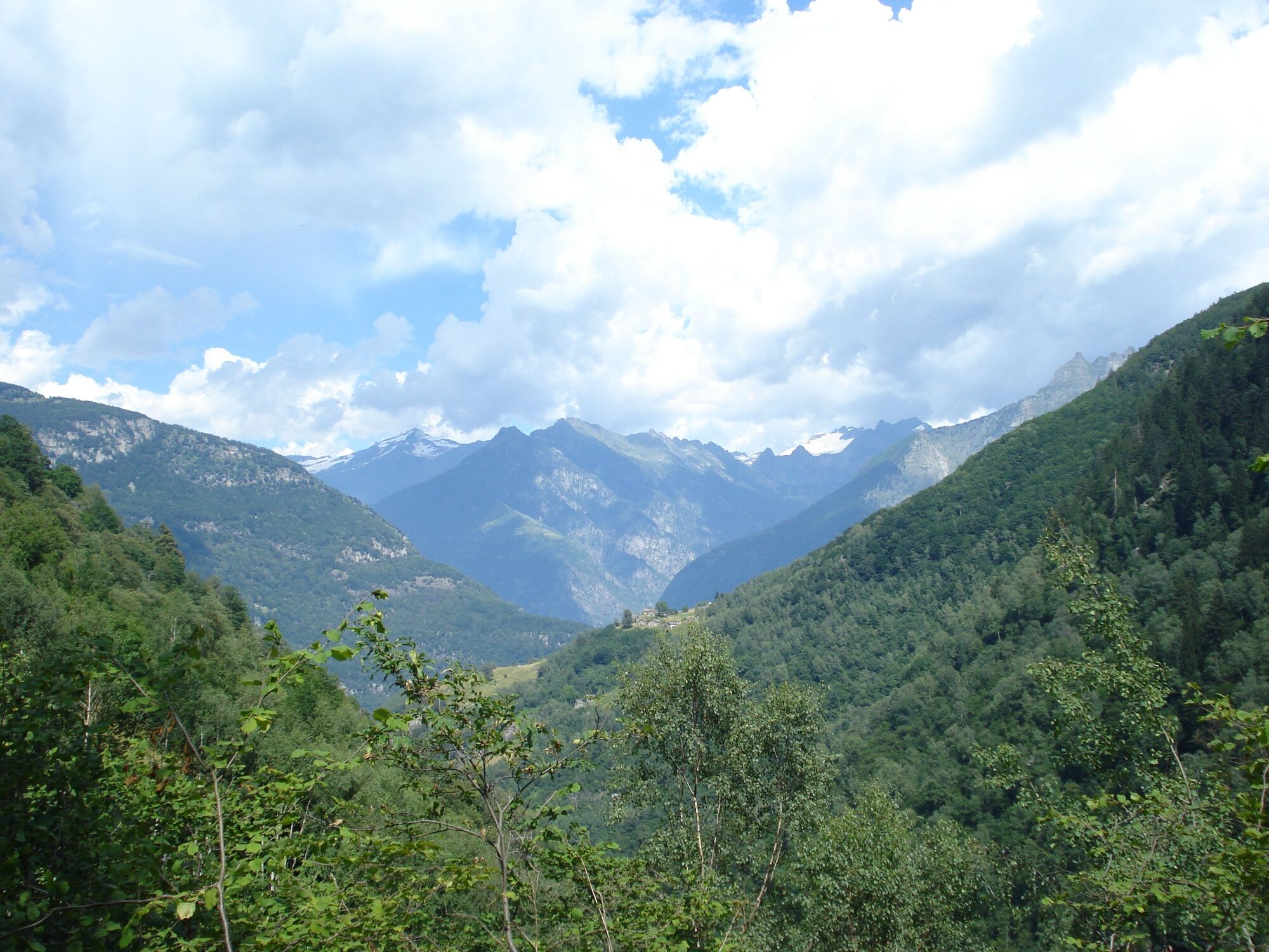

Personico-Passo di Gagnone-Capanna Efra-Frasco-Sonogno
Tak
Tak
Trekking backpack (approx. 50 liters) with rain cover
Comfortable and sturdy footwear, second pair of shoes / sandals if necessary
Adequate and durable outdoor clothing in multiple layers
Change of clothes,
Telescope sticks
Sun and rain protection
Snacks and drinking water
First aid kit
Penknife
Mobile phone
Headlight
Maps
Travel documents
Toilet bag and travel towel, travel detergent and clothesline, camping equipment if necessary (tent, sleeping mat, sleeping bag, cooking equipment), hut equipment if necessary
Uzyskaj wgląd
Zawsze na żywo z ponad 9 500 kamer internetowych. bergfex Jako użytkownik Pro, możesz teraz zobaczyć odpowiednie kamery internetowe dla wielu wycieczek w aplikacji wycieczki od. Pozwala to na bezpośredni podgląd aktualnych warunków.
Popularne wycieczki w okolicy
-
4,6
Verzasca Dam-Mergoscia-Corippo-Lavertezzo
średniWędrówka 13,0 km -
4,8
Valle del Salto round route (SvizzeraMobile 611)
średniWędrówka 8,84 km -
3,3
Entlang der Verzasca von Sonogno via Brione nach Lavertezzo
światłoWędrówka 14,5 km -
5,0
Lavertezzo-Brione Verzasca
światłoWędrówka 6,50 km -
4,5
Revöira Ethnographic Trail (SwitzerlandMobility 629)
średniWędrówka 7,97 km -
5,0
Verzasca Dam-Monti di Motti-Verzasca Dam
średniWędrówka 9,31 km -
Cardada-Cimetta-Alpe Vegnasca-Cardada
średniWędrówka 6,86 km -
4,5
Klettersteig dei tre signori, Monte Carasso
ciężkiVia ferrata 4,85 km -
Via Alta Vallemaggia - 1st stage: Cimetta-Capanna Alpe Nimi
ciężkiWędrówka 10,2 km -
4,0
Vogorno-Alpe Bardughè-Vogorno
średniWędrówka 12,2 km
Wędrówki i tropienie


Nie przegap ofert i inspiracji na następne wakacje
Twój adres e-mail została dodana do listy mailingowej.





