


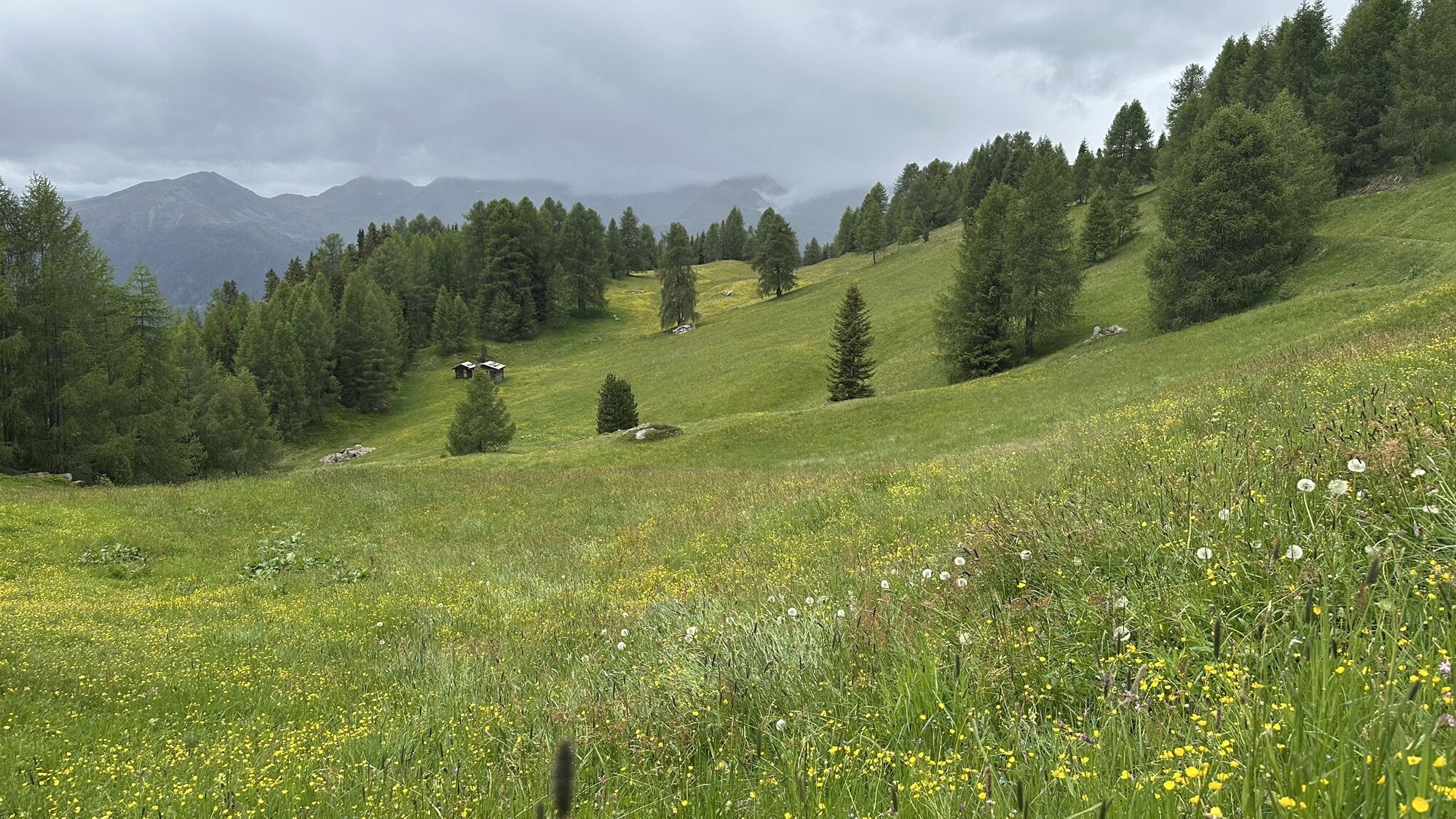
Snowshoe Tour and Ski Tour: Rotlahner in S. Maddalean/Gsieser Tal Valley

From the head of the valley in St. Magdalena in the Gsieser Valley 1465 m, follow the signpost number 47 over the bridge, then immediately turn left, and after a few metres turn right. The snowshoe hike,...
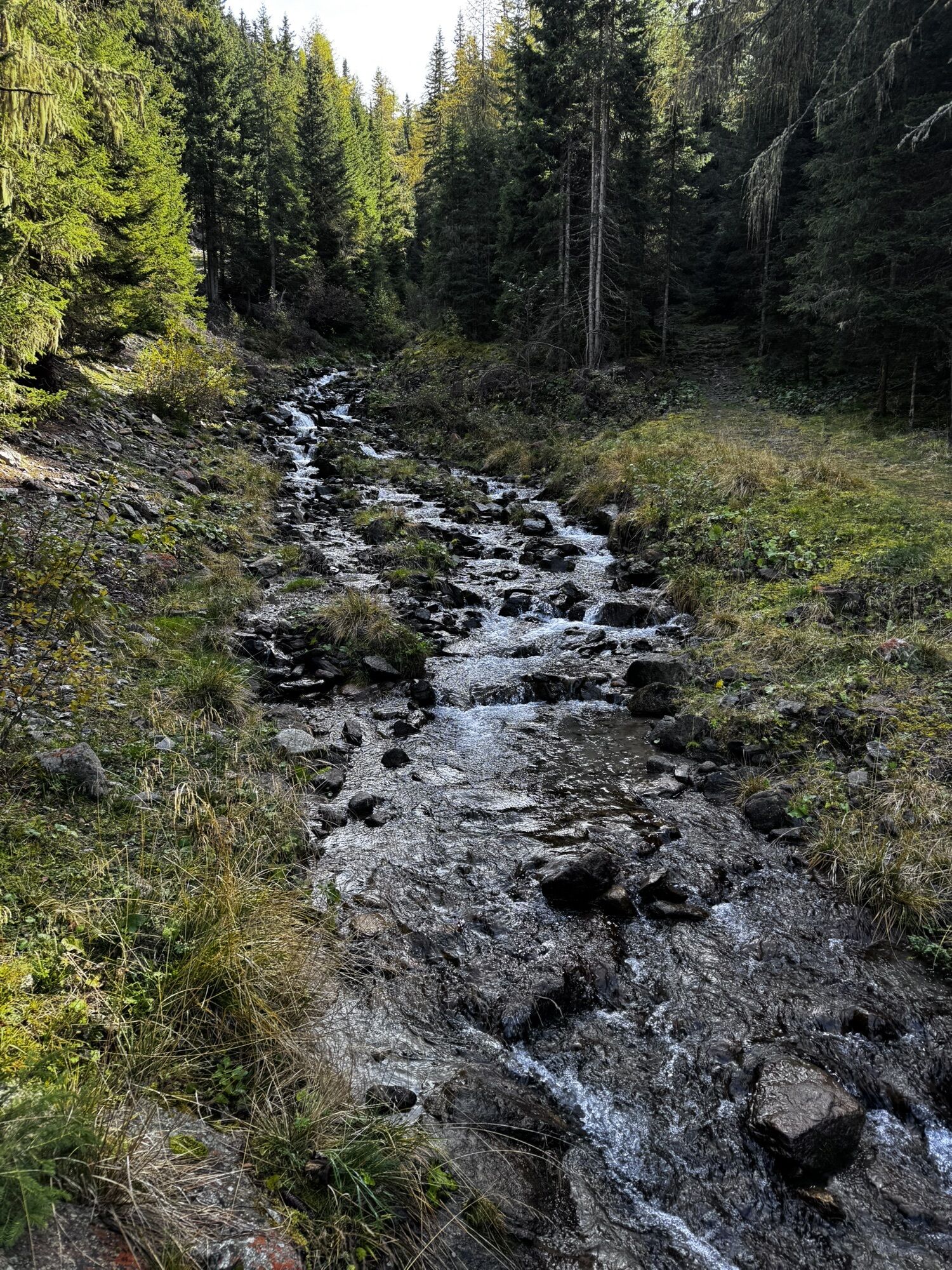
From the head of the valley in St. Magdalena in the Gsieser Valley 1465 m, follow the signpost number 47 over the bridge, then immediately turn left, and after a few metres turn right. The snowshoe hike, or rather the ski tour, leads you parallel to the toboggan run and along the Tscharniet Stream uphill to the Köfler Alm at 1806 m. Pass the big boulder, keep straight (do not follow the forest road) and continue through the steeply ascending stretch of forest to the Kasermähder Alm at 2048 m, passing various types of pine covered in deep snow. The gentle snowy slopes of the “Stierböden” lead to the Heimwaldjöchl at 2648 m. Once there, turn right and reach your final destination, the Rotlahner, in just 15 minutes.


Popularne wycieczki w okolicy
-
4,6
Mountain hike to Mountain „Lutterkopf and Durakopf (2145/2275m)“
średniWycieczki górskie 11,8 km -
4,8
Antholzer See - Steinzger Alm
średniWędrówka 7,48 km -
4,7
Rund um den Antholzer See
światłoWędrówka 4,27 km -
4,6
Rote Wand
średniWycieczka wysokogórska 12,0 km -
4,8
Von Kalkstein auf das Toblacher Pfannhorn (2.663 m) und Marchkinkele
średniWędrówka 14,2 km -
4,2
Seespitze
średniWędrówka 13,7 km -
5,0
Ski Tour: Monte Luta e Monte Salmone in Tesido
światłoWycieczka narciarska 11,0 km -
4,8
Zur Jagdhausalm - Defreggental
średniMountainbike 26,2 km -
5,0
Trojertal, Hintere Trojeralm
światłoWędrówka 8,97 km -
Kreuzspitze, 2.624 m
średniWędrówka 5,27 km
Wędrówki i tropienie


Nie przegap ofert i inspiracji na następne wakacje
Twój adres e-mail została dodana do listy mailingowej.