







Snowshoe Tour: Along the Taistner Unterrain
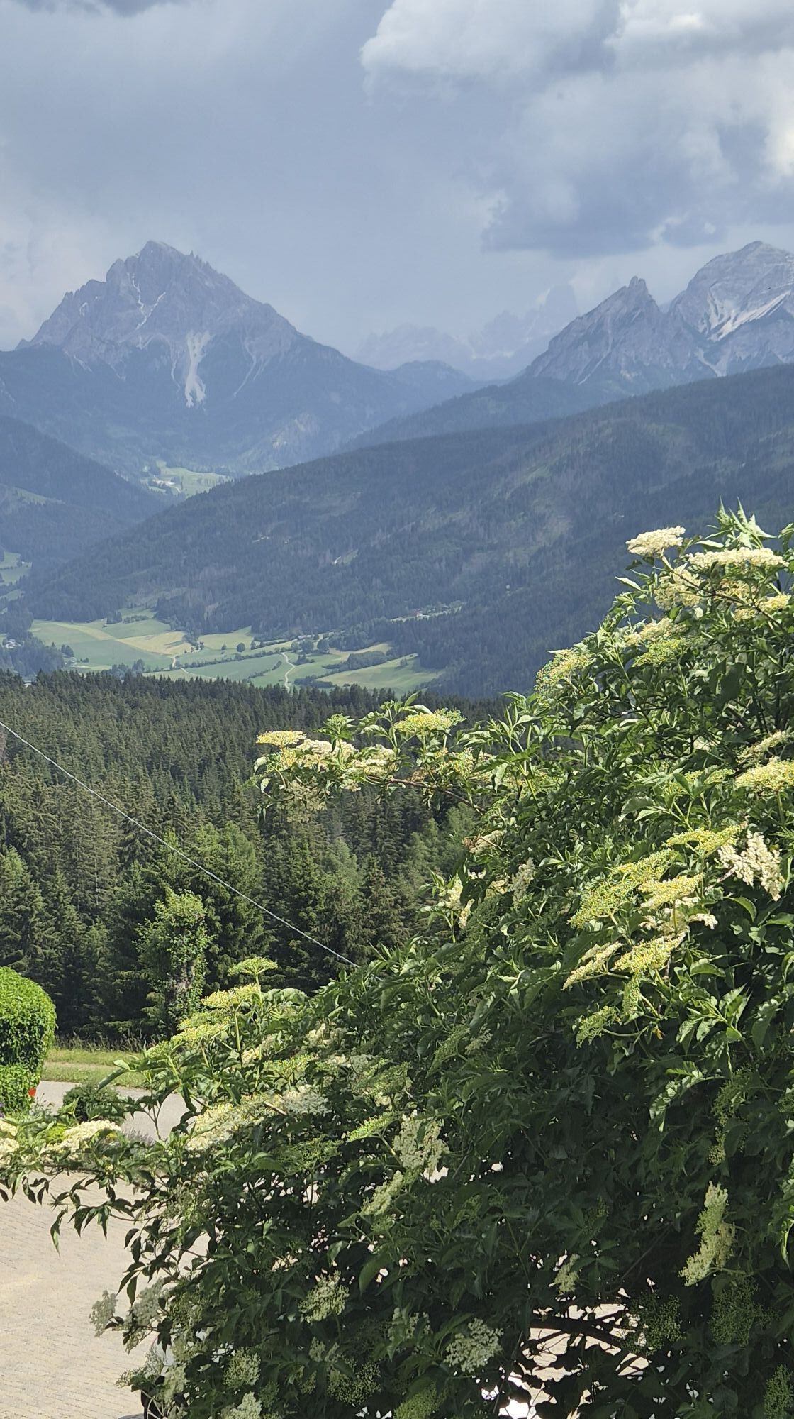
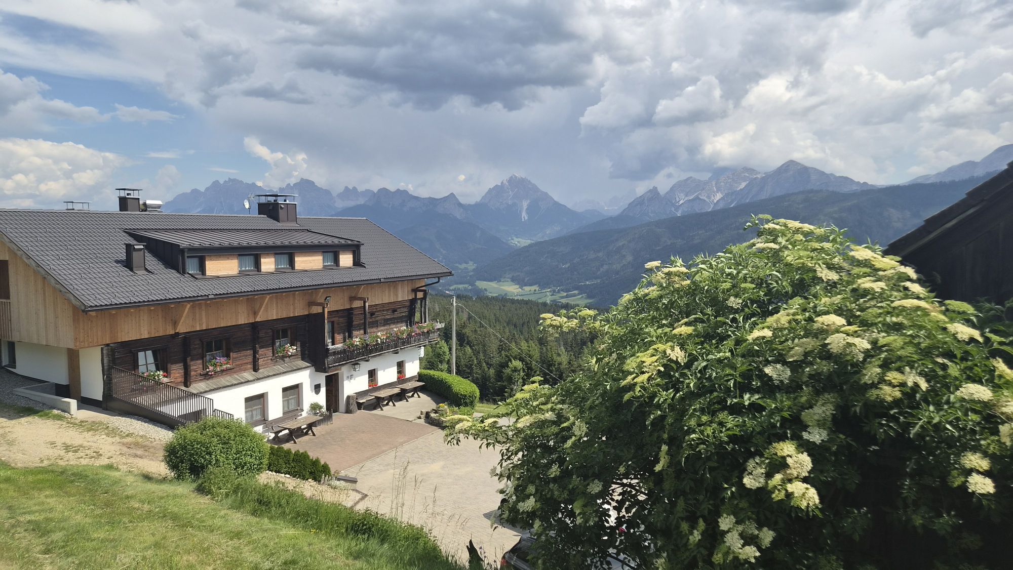
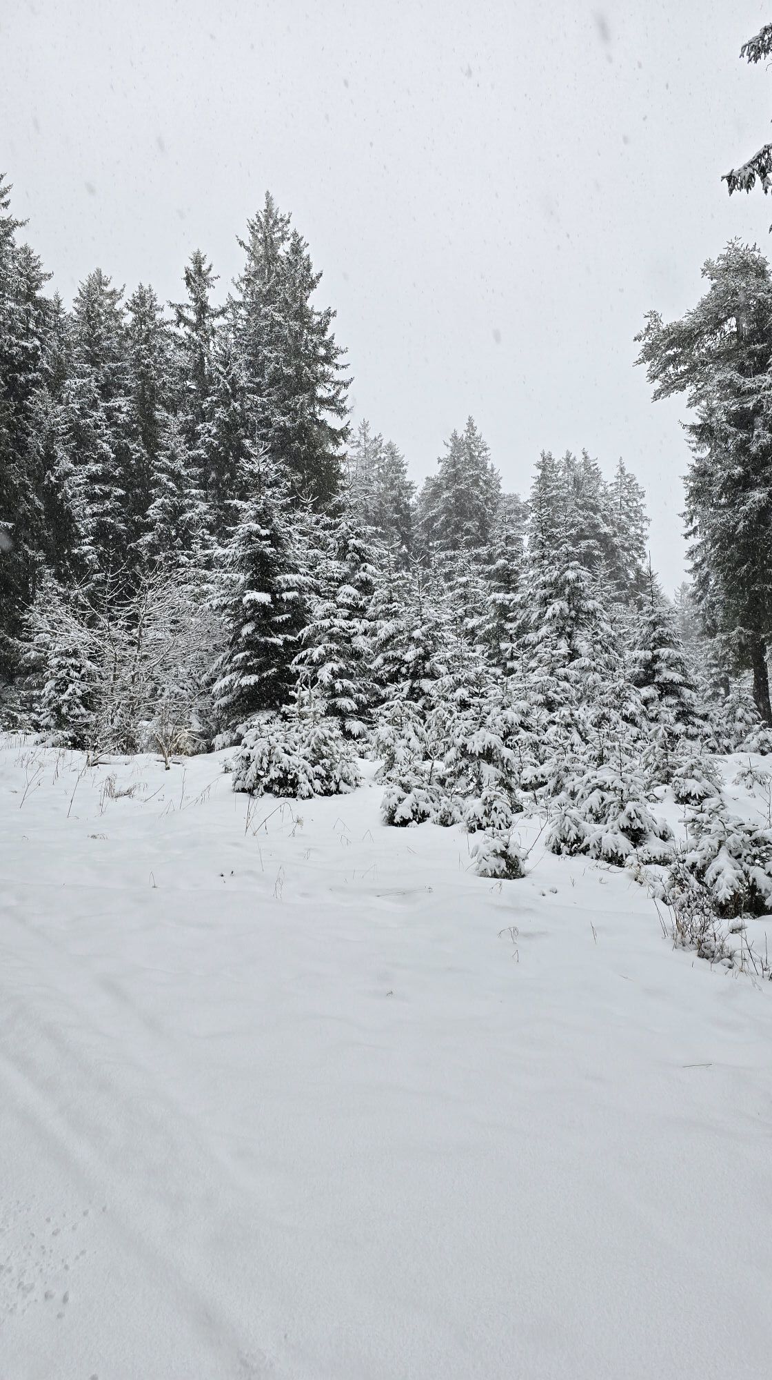
Starting point is the crossroad 100 m after the Hotel Alpen Tesitin located above Taisten (on the way to the mountain restaurant Mudler Hof). From here, follow the Unterrainerstraße (cleared from snow...
Starting point is the crossroad 100 m after the Hotel Alpen Tesitin located above Taisten (on the way to the mountain restaurant Mudler Hof). From here, follow the Unterrainerstraße (cleared from snow in winter and numbered 21) for 3 km all the way to the Feichterhof at 1377 m. Once there, proceed uphill with your snowshoes on; depending on snow conditions either keep to the edge of the forest (trail number 21) or hike through the forest (trail 21 a) all the way to the hidden Kirmlehof at 1577 m. Follow the access road of the farm till it crosses the road leading to the mountain restaurant Mudler Hof (worthwhile rest point); now continue south-eastwards by keeping to the road until the snowshoe signs clearly point to the right and into the forest. Now in south-easterly direction descend the woods and meadows all the way down to the starting point. Please take particular note of the signs in the forest! Alternative route from the crossing at Kirmle/Mudler Hof: continue on road number 31 and through the hamlet Guggenberg and return to the starting point.
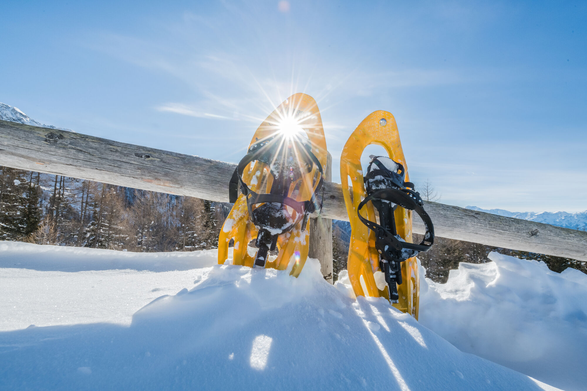

Tak
Tak
3/6
3/6
Kamery internetowe z trasy
Uzyskaj wgląd
Zawsze na żywo z ponad 9 500 kamer internetowych. bergfex Jako użytkownik Pro, możesz teraz zobaczyć odpowiednie kamery internetowe dla wielu wycieczek w aplikacji wycieczki od. Pozwala to na bezpośredni podgląd aktualnych warunków.
Popularne wycieczki w okolicy
-
4,6
Mountain hike to Mountain „Lutterkopf and Durakopf (2145/2275m)“
średniWycieczki górskie 11,8 km -
4,8
Antholzer See - Steinzger Alm
średniWędrówka 7,48 km -
4,8
Rund um den Schwarzberg in die Bergwelt vom Pragser Wildsee
średniWędrówka 9,59 km -
4,8
Seerunde
światłoWędrówka 2,66 km -
4,7
Rund um den Antholzer See
światłoWędrówka 4,27 km -
4,6
Rote Wand
średniWycieczka wysokogórska 12,0 km -
4,4
Rundtour Gönneralm und Erdpyramiden
średniWycieczki górskie 8,08 km -
4,7
Rund um den Seekofel
ciężkiWędrówka 16,6 km -
4,9
Dolomiten - Seekofel 2.810m - Tiefblick zum See
średniWycieczki górskie 23,5 km -
4,5
Pragser Wildsee Südtirol
średniWędrówka 15,7 km
Wędrówki i tropienie


Nie przegap ofert i inspiracji na następne wakacje
Twój adres e-mail została dodana do listy mailingowej.





