






Mountain hike onto the „Rudlhorn (2448m)“
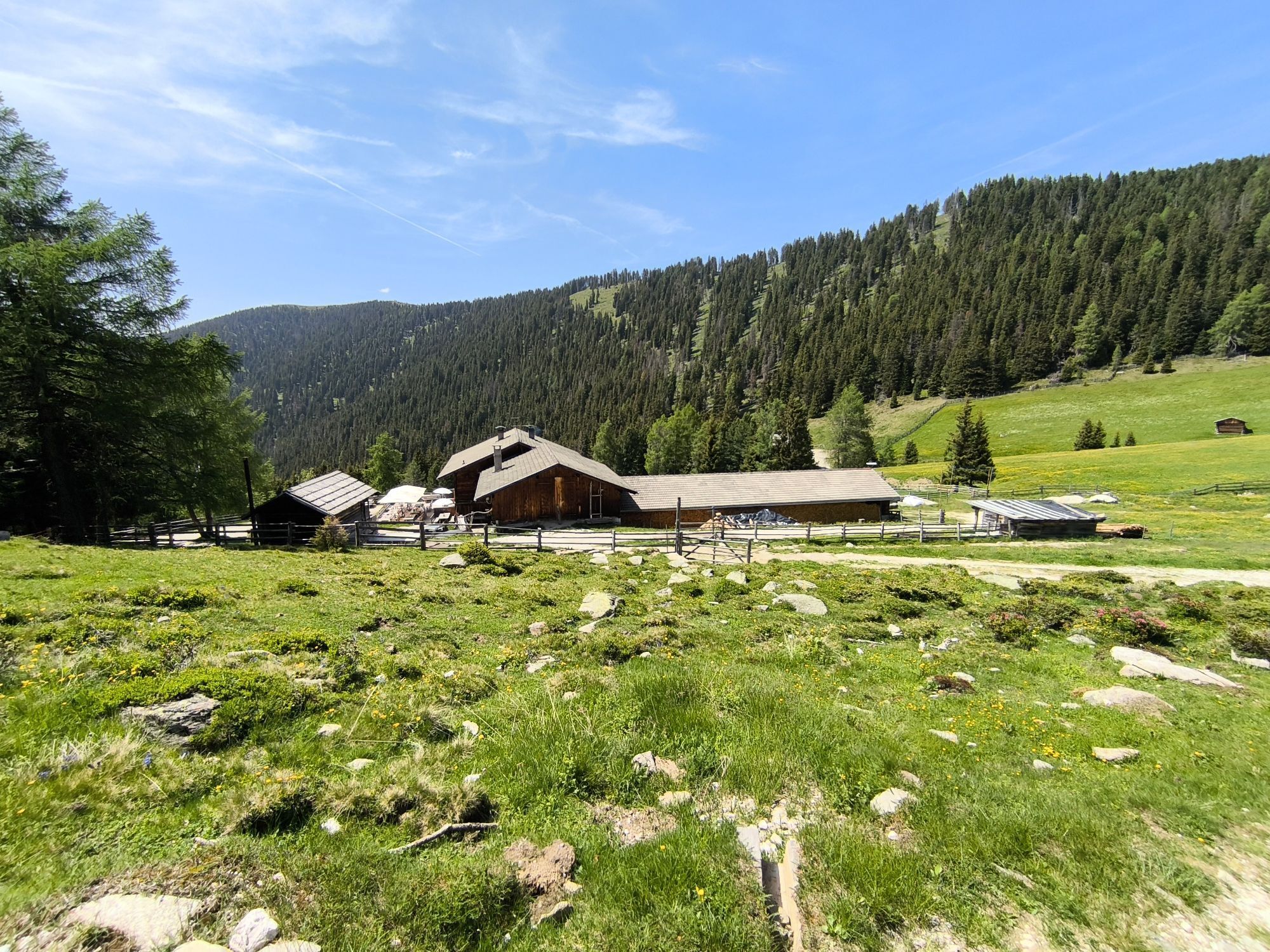
Reach the mountain restaurant Mudler (1622m, refreshment point) by car and leave your vehicle in the nearby parking area. On the wide driveway, find the path numbered 38 A, and in a slight ascent reach...
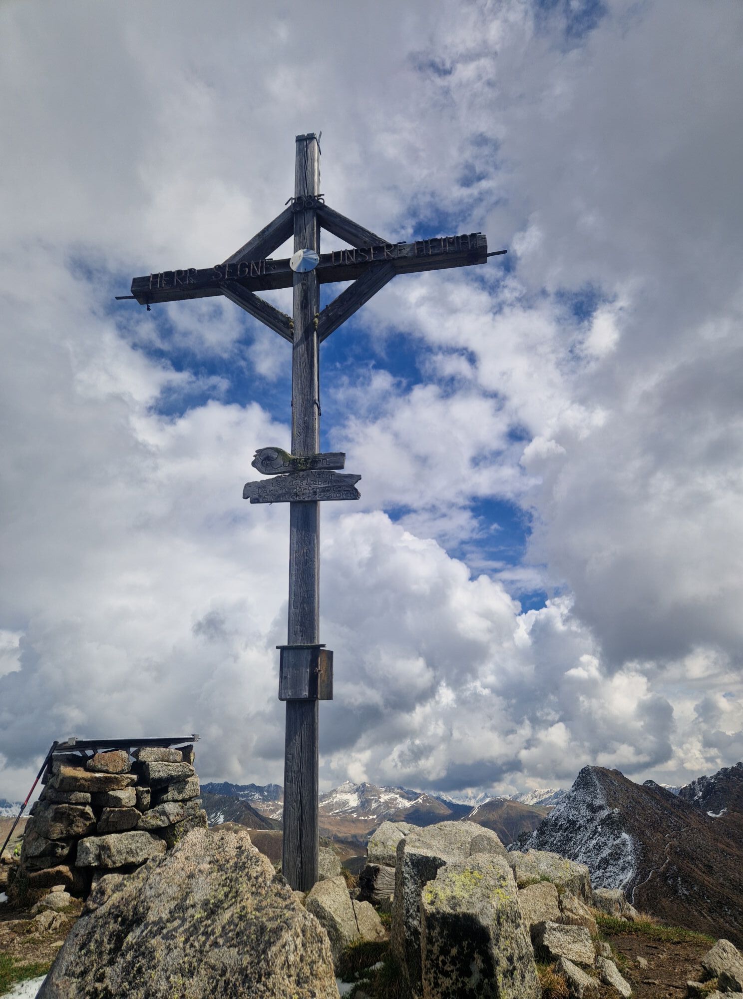
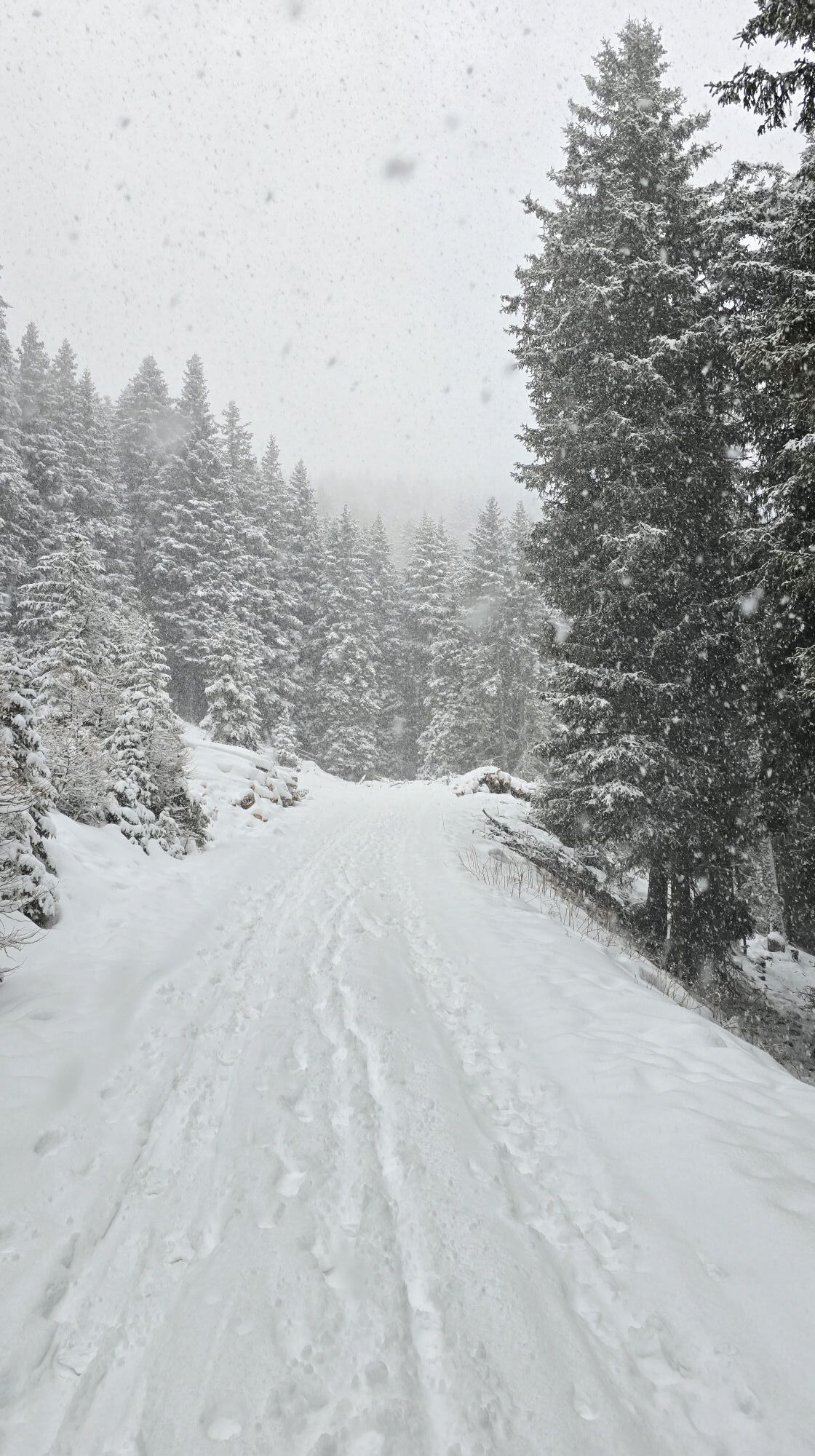
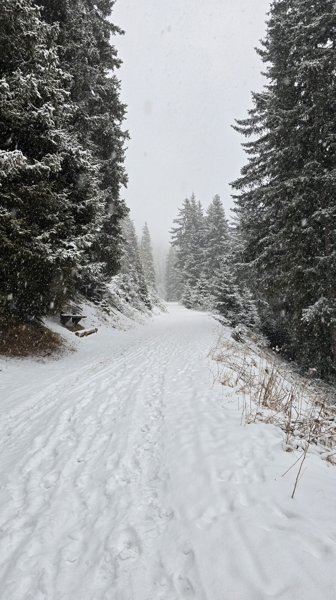
Reach the mountain restaurant Mudler (1622m, refreshment point) by car and leave your vehicle in the nearby parking area. On the wide driveway, find the path numbered 38 A, and in a slight ascent reach the Taistner VorderAlm (2012m, refreshment point). Once there, continue on the wide road, briefly following the path no. 38 upwards, and then turn right into a marked route across grassy slopes and the grassy mountain ridge in eastward direction upwards to the rocky ridge of the summit. In a medium-steep climb hike along the partly exposed ridge (no noteworthy difficulties) to the summit at 2448 m above sea level. Return: from the Rudlhorn, descend into a little hollow of the ridge between the Rudlhorn and the Eisatz (2388m), from there, continue downwards on the marked trail (climb tracks) across grassy terrain and some steep slopes all the way to the Taistner Vorderalm (2012m, refreshment point).

 Uzyskaj wgląd Zawsze na żywo z ponad 9 500 kamer internetowych. bergfex Jako użytkownik Pro, możesz teraz zobaczyć odpowiednie kamery internetowe dla wielu wycieczek w aplikacji wycieczki od. Pozwala to na bezpośredni podgląd aktualnych warunków.
 Aktywności na trasie

Welsberg - Taisten, Trentino-Südtirol/Italien
23.02.2026 – Wędrówka
Welsberg - Taisten, Trentino-Südtirol/Italien
22.02.2026 – Wędrówka
Monguelfo-Tesido Gehen
14.02.2026 – PrzechadzkaRasen - Antholz, Trentino-Südtirol/Italien
20.01.2026 – Wędrówka
Welsberg - Taisten, Trentino-Südtirol/Italien
07.10.2025 – Wędrówka
Popularne wycieczki w okolicy
- 4,6
Mountain hike to Mountain „Lutterkopf and Durakopf (2145/2275m)“
średniWycieczki górskie 11,8 km - 4,8
Antholzer See - Steinzger Alm
średniWędrówka 7,48 km - 4,6
Rund um den Schwarzberg in die Bergwelt vom Pragser Wildsee
średniWędrówka 9,59 km - 4,8
Seerunde
światłoWędrówka 2,66 km - 5,0
Rote Wand
średniWycieczka wysokogórska 12,0 km - 4,9
Rund um den Antholzer See
światłoWędrówka 4,27 km - 4,7
Rund um den Seekofel
ciężkiWędrówka 16,6 km - 4,7
Von Kalkstein auf das Toblacher Pfannhorn (2.663 m) und Marchkinkele
średniWędrówka 14,2 km - 4,9
Dolomiten - Seekofel 2.810m - Tiefblick zum See
średniWycieczki górskie 23,5 km - 4,4
Rundtour Gönneralm und Erdpyramiden
średniWycieczki górskie 8,08 km

Wędrówki i tropienie


Nie przegap ofert i inspiracji na następne wakacje
Twój adres e-mail została dodana do listy mailingowej.





