






Mountain hike onto the Amperspitze (2687m)
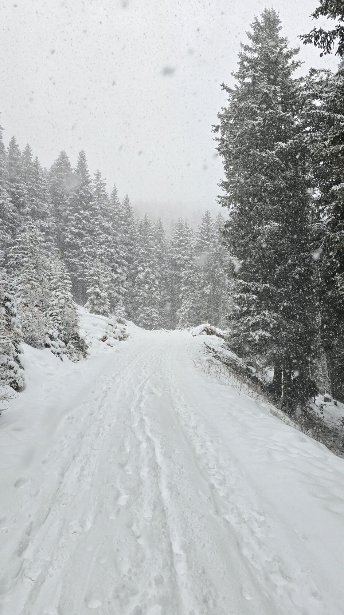
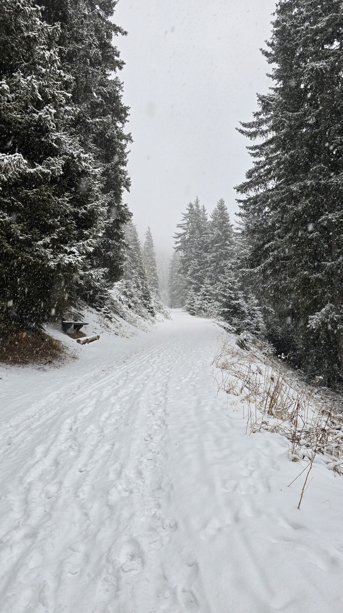
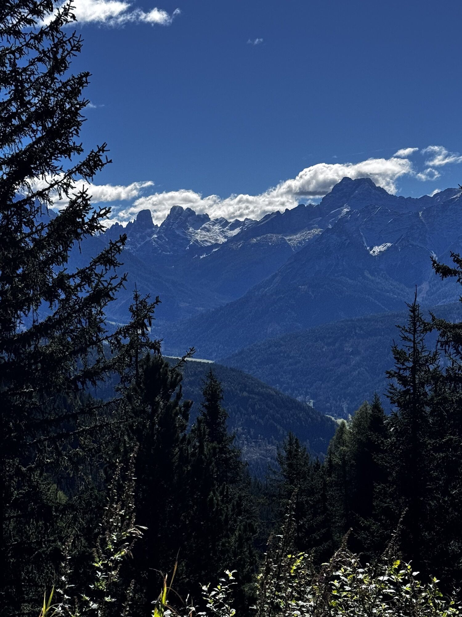
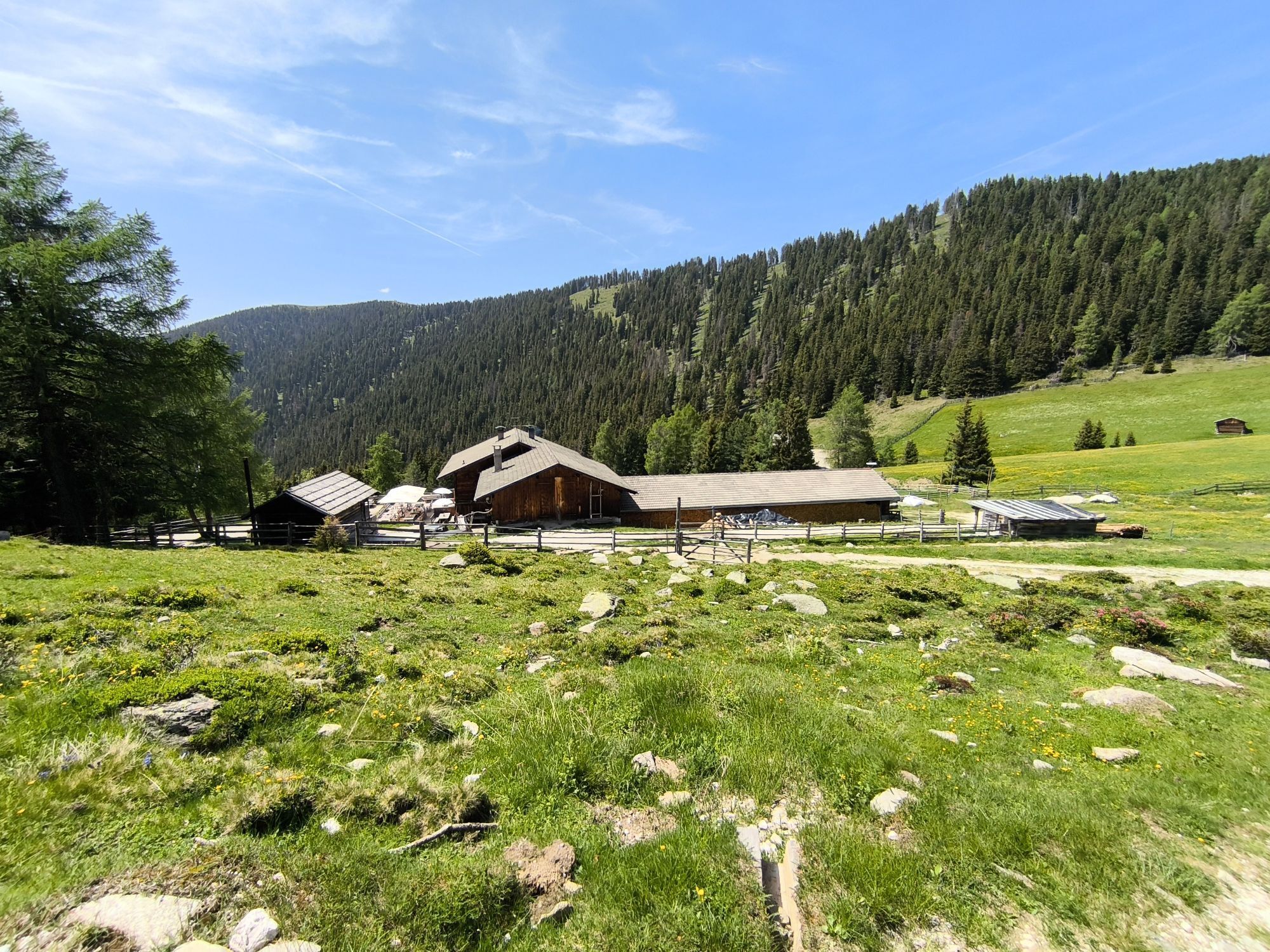
Reach the mountain restaurant Mudler (1622m, refreshment point) by car and leave your vehicle in the nearby parking area. On the wide driveway, find the path numbered 38 A, and in a slight ascent reach...
Reach the mountain restaurant Mudler (1622m, refreshment point) by car and leave your vehicle in the nearby parking area. On the wide driveway, find the path numbered 38 A, and in a slight ascent reach the Taistner Vorder Alm (2012m, refreshment point). Continue now on path no. 38 in north-eastward direction across alpine terrain along a medium steep trail to the Klenkboden, a flat saddle (2186m), and still on path no. 38, now slightly descending, walk nearly as far as the Taistner Hinteralm (1955m, not a refreshment point). Then, briefly climb upwards to the alte Ochsenhütte (old ox hut; 2124m) and continue on trail no. 38 over the grassy southeastern and southern ridge on a medium steep trail upwards to the summit cross of the Amperspitze. Return via the ascent route or ascend into the Val Casies Valley via the Ampertörl across to the Samburg-Alm and the Karbachtal Valley. From San Martino you can take the bus for the return journey.

 Uzyskaj wgląd
Zawsze na żywo z ponad 9 500 kamer internetowych. bergfex Jako użytkownik Pro, możesz teraz zobaczyć odpowiednie kamery internetowe dla wielu wycieczek w aplikacji wycieczki od. Pozwala to na bezpośredni podgląd aktualnych warunków.
Uzyskaj wgląd
Zawsze na żywo z ponad 9 500 kamer internetowych. bergfex Jako użytkownik Pro, możesz teraz zobaczyć odpowiednie kamery internetowe dla wielu wycieczek w aplikacji wycieczki od. Pozwala to na bezpośredni podgląd aktualnych warunków.
Aktywności na trasie
-

Welsberg - Taisten, Trentino-Südtirol/Italien
23.02.2026 – Wędrówka -

Welsberg - Taisten, Trentino-Südtirol/Italien
22.02.2026 – Wędrówka -

Monguelfo-Tesido Gehen
14.02.2026 – Przechadzka -
Rasen - Antholz, Trentino-Südtirol/Italien
20.01.2026 – Wędrówka -

Welsberg - Taisten, Trentino-Südtirol/Italien
28.10.2025 – Wędrówka -
Welsberg - Taisten, Trentino-Südtirol/Italien
07.10.2025 – Wędrówka
Popularne wycieczki w okolicy
-
4,6
Mountain hike to Mountain „Lutterkopf and Durakopf (2145/2275m)“
średniWycieczki górskie 11,8 km -
4,8
Antholzer See - Steinzger Alm
średniWędrówka 7,48 km -
4,6
Rund um den Schwarzberg in die Bergwelt vom Pragser Wildsee
średniWędrówka 9,59 km -
4,8
Seerunde
światłoWędrówka 2,66 km -
5,0
Rote Wand
średniWycieczka wysokogórska 12,0 km -
4,9
Rund um den Antholzer See
światłoWędrówka 4,27 km -
4,7
Rund um den Seekofel
ciężkiWędrówka 16,6 km -
4,7
Von Kalkstein auf das Toblacher Pfannhorn (2.663 m) und Marchkinkele
średniWędrówka 14,2 km -
4,9
Dolomiten - Seekofel 2.810m - Tiefblick zum See
średniWycieczki górskie 23,5 km -
4,4
Rundtour Gönneralm und Erdpyramiden
średniWycieczki górskie 8,08 km

Wędrówki i tropienie


Nie przegap ofert i inspiracji na następne wakacje
Twój adres e-mail została dodana do listy mailingowej.





