


Zeutschacher Ursprung and Graggerschlucht
Zdjęcia naszych użytkowników
 © erich1207Utworzono dnia 08.05.2026
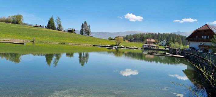 © Akovacs SspUtworzono dnia 03.05.2026
 © Akovacs SspUtworzono dnia 03.05.2026
 © Akovacs SspUtworzono dnia 03.05.2026
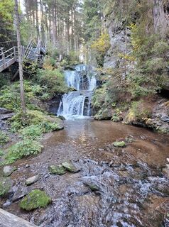
 © Christian PierederUtworzono dnia 14.10.2025
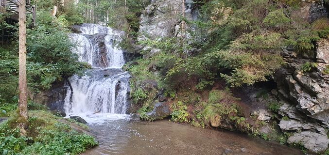 © JohannesUtworzono dnia 14.09.2025
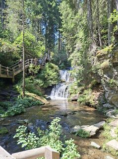
 © Stefan Auer 9Utworzono dnia 13.08.2025
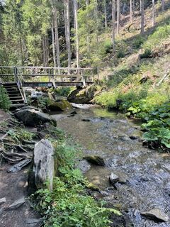
 © Tjeerd De VriesUtworzono dnia 28.07.2022
 © Tjeerd De VriesUtworzono dnia 28.07.2022
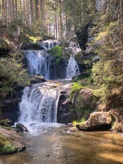
 © Linda v.d. MeijUtworzono dnia 05.05.2023
 © Linda v.d. MeijUtworzono dnia 05.05.2023
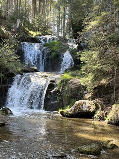 © Linda v.d. MeijUtworzono dnia 05.05.2023


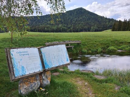
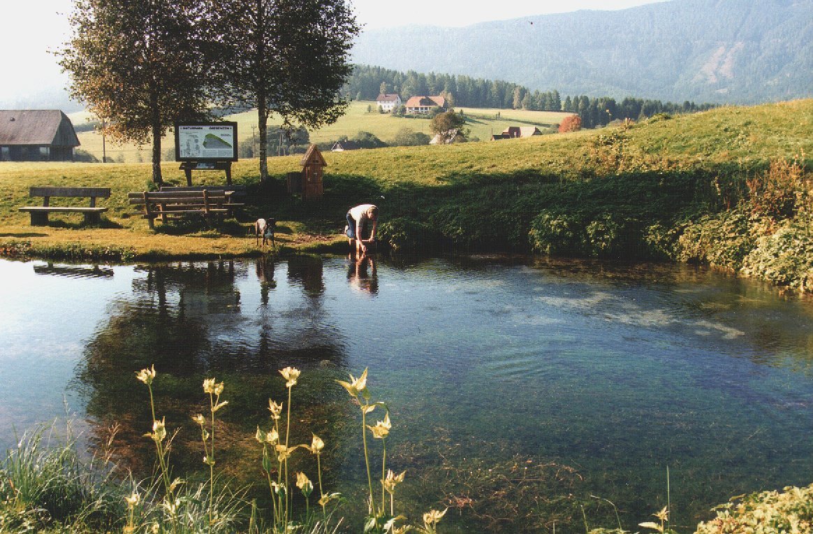
From the Seidl inn in Zeutschach, you reach the Zeutschach spring of origin in just under 10 minutes; the briskly flowing water bubbles straight towards the Ursprunger homestead. Follow the downhill road...
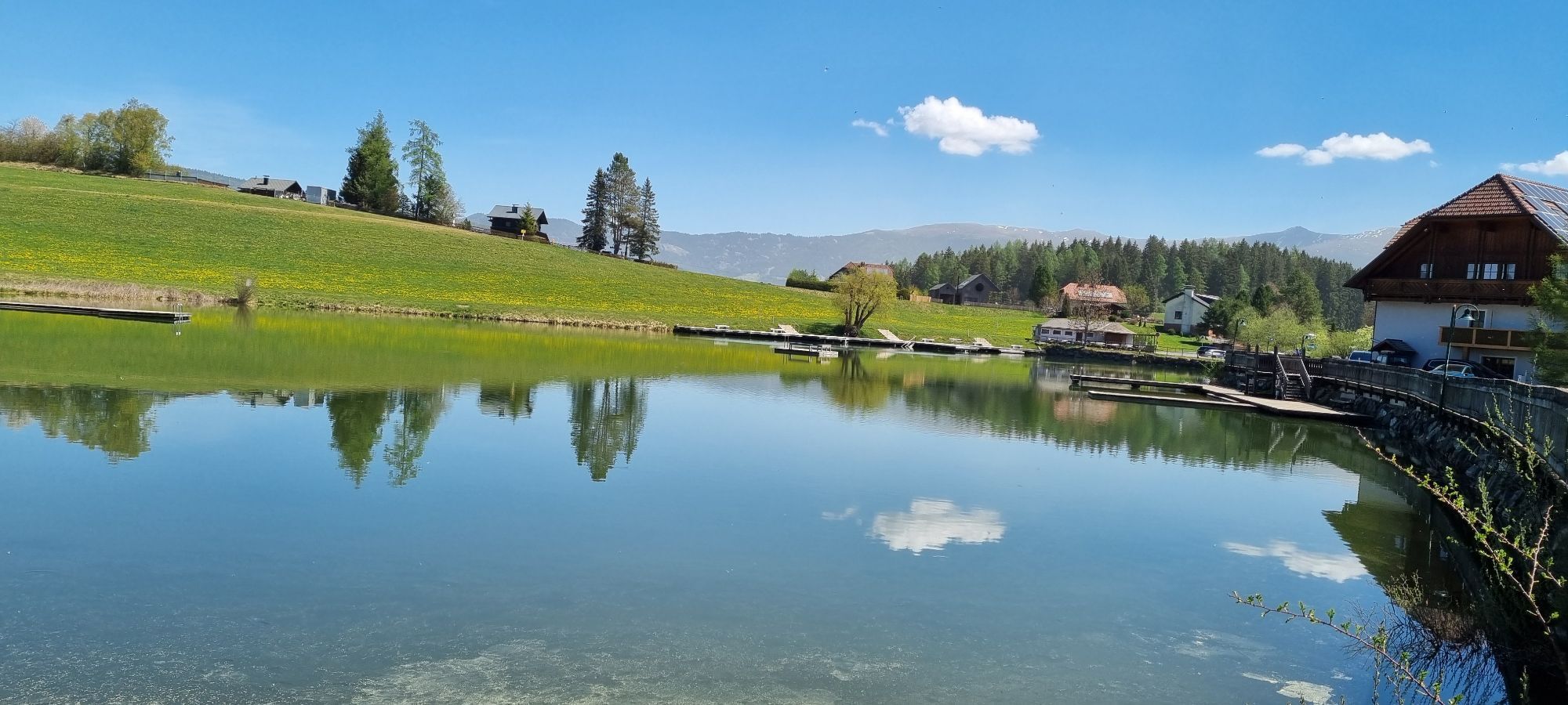
From the Seidl inn in Zeutschach, you reach the Zeutschach spring of origin in just under 10 minutes; the briskly flowing water bubbles straight towards the Ursprunger homestead. Follow the downhill road to the Graslupp ponds.
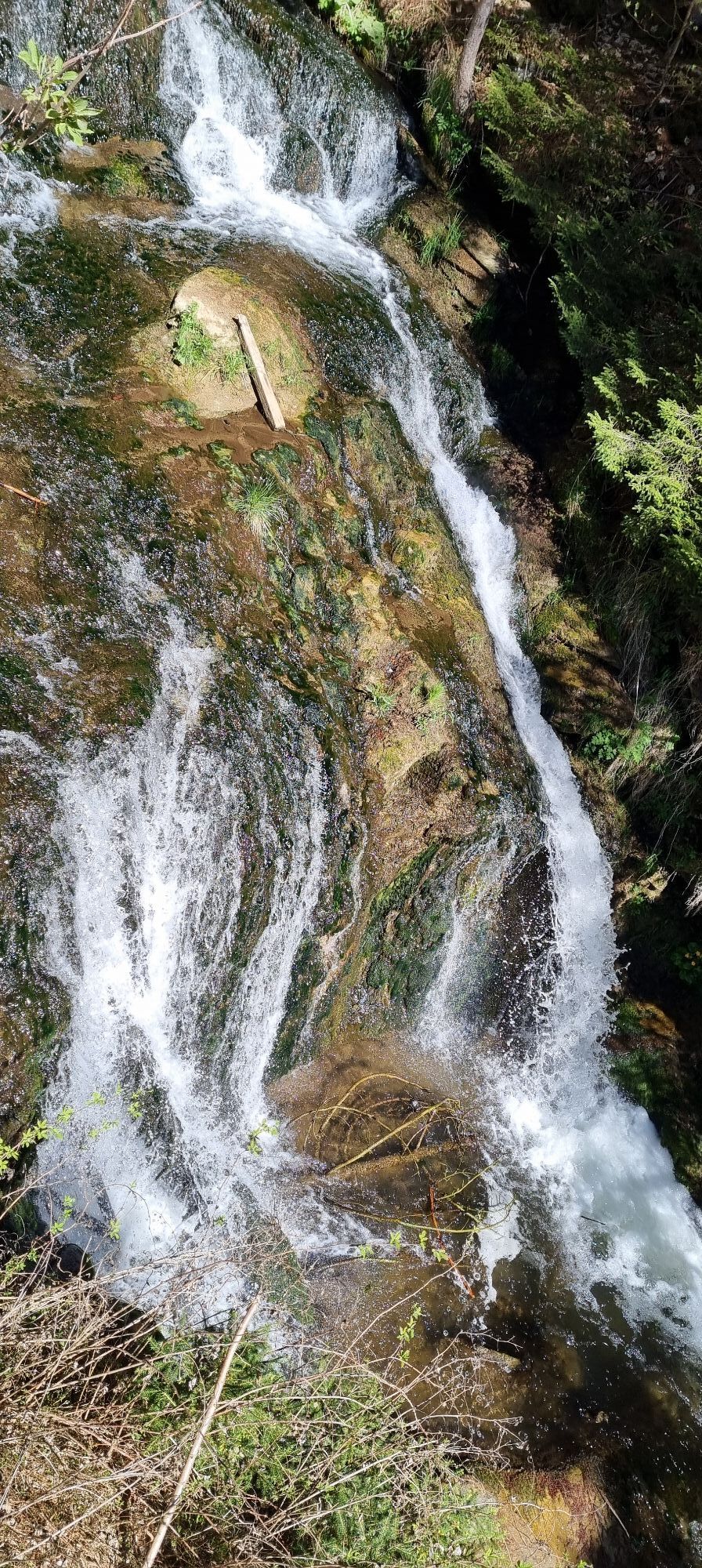
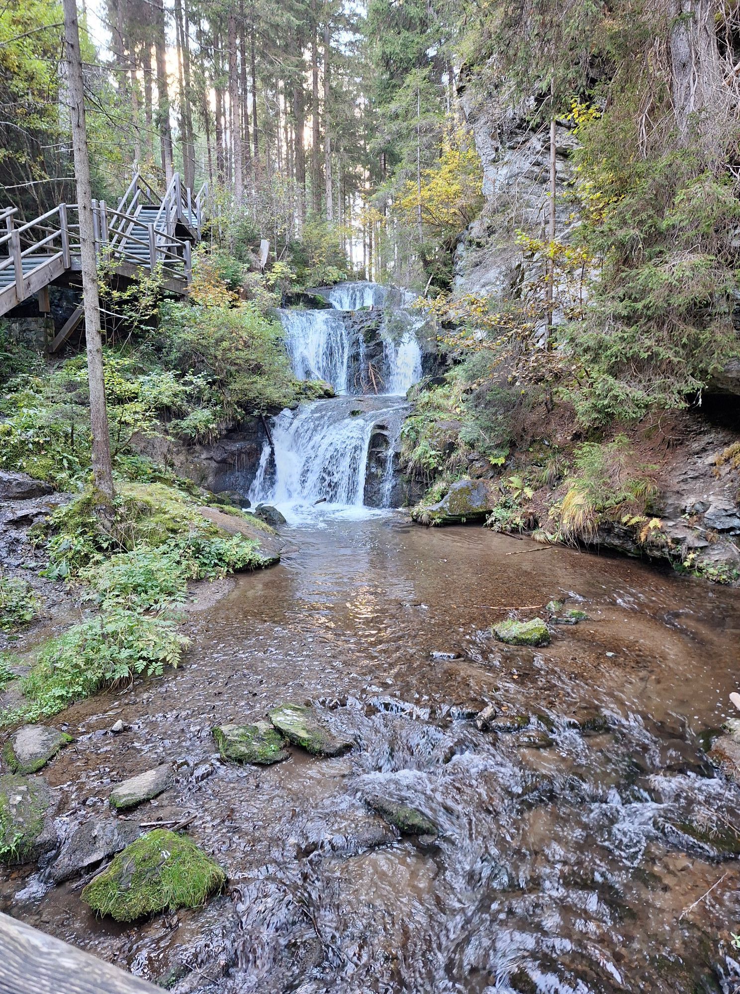
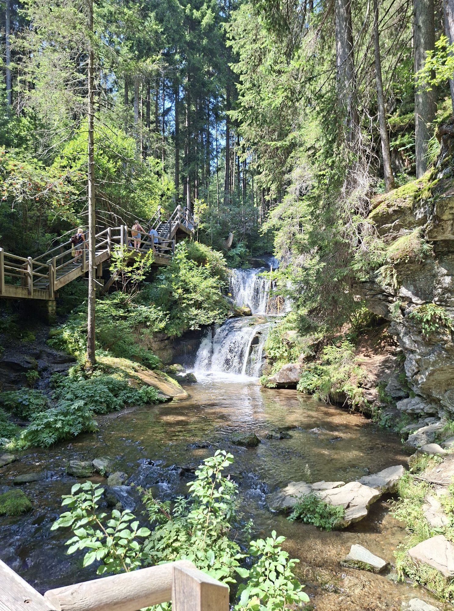
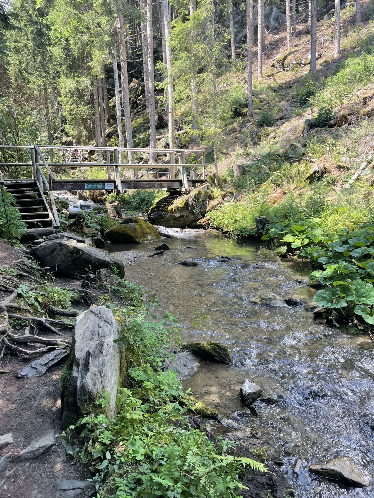
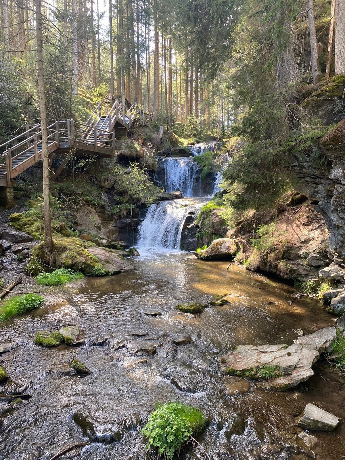
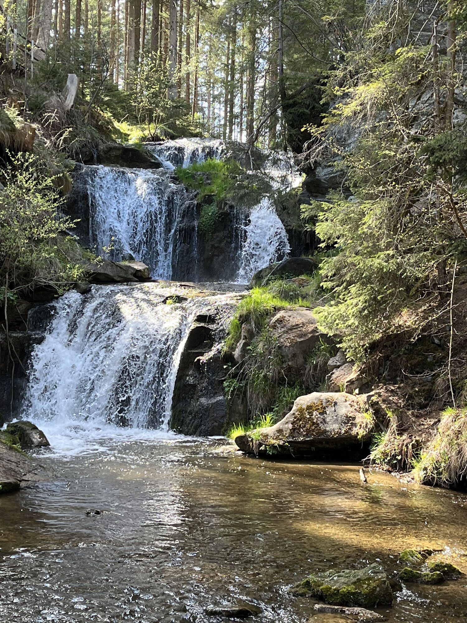
Opposite the Graslupp chapel, the hiking trail branches off from the bend in the road. Immediately you cross the Ursprungbach and walk to the right of it, first through a wooded area, then across a meadow slightly downhill to the beginning of the gorge-like Graggerschlucht, the centerpiece of which is a 12-meter-high cascade waterfall that plunges down in the upper part. You walk through the bottom of the gorge along a path and cross the Ursprungbach several times. Numerous information boards inform about the diversity of fauna and gorge forest flora.
At the exit of the gorge there is a nice resting place with a bionic island that tells adults and children something about bionics.
A few minutes' walk further on, you reach Mühldorf, the guest garden at the Forellenhof proves to be a welcome resting place. Opposite the inn, the "R18 Naturpark-Radweg" leads northward and crosses the route of the southern railroad. Follow the short lane "Am Urtelbach" and walk along Bahnhofstraße either downhill to the train station or over the road crest into the center of Neumarkt.

In Neumarkt tour direction train station or town center
Inn Seidl, Fischerwirt and Forellenfarm
Tak
Tak
Good shoes, enough to drink
Via Neumarkt station to Zeutschach
Popularne wycieczki w okolicy
- 4,6
Zirbitzkogel-Runde über Lindersee
średniWędrówka 10,5 km - 4,9
Zirbitzkogel Wildsee Rothaidehütte
średniWędrówka 15,4 km - 4,8
Zirbitzkogel Waldheimhütte - Wildsee - Fuchskogel - Zirbitzkogel, Steiermark/Österreich
średniWędrówka 15,2 km - 3,8
Vom Almidyll Sabathy (Sabathyhütte) auf den Zirbitzkogel
średniWędrówka 7,70 km - 4,7
Skitour Hohe Ranach
średniWycieczka narciarska 3,04 km - 4,6
Skitour Zirbitzkogel
średniWycieczka narciarska 6,01 km - 4,4
Naturfreundehaus Winterleiten 1800 m- Zirbitzkogel 2369 m- Kreiskogel 2340 - Winterleitenhütte
ciężkiWędrówka 11,9 km - 3,6
Zirbitzkogeltour
średniWędrówka 10,2 km - 4,7
Von der Sabathy über die Winterleiten auf den Zirbitzkogel
średniWędrówka 14,8 km - 5,0
Zirbitzkogel, 2396m, von Winterleiten Hütte
średniWędrówka 10,5 km
Wędrówki i tropienie


Nie przegap ofert i inspiracji na następne wakacje
Twój adres e-mail została dodana do listy mailingowej.