


Hörfeld Moor
The Hörfeldmoore, a relic of the last Ice Age, stretches between Hüttenberg and the neighboring municipality of Mühlen. The meandering Hörfeldbach, the dangerous spring pools, and the treacherous floating...
The Hörfeldmoore, a relic of the last Ice Age, stretches between Hüttenberg and the neighboring municipality of Mühlen. The meandering Hörfeldbach, the dangerous spring pools, and the treacherous floating mat make the moor a mystical place.

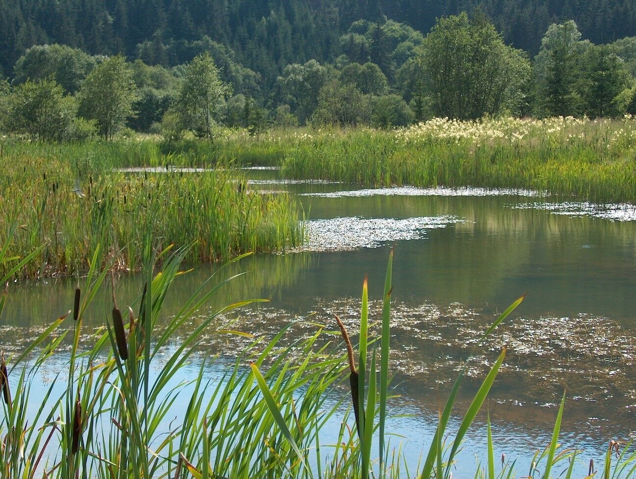
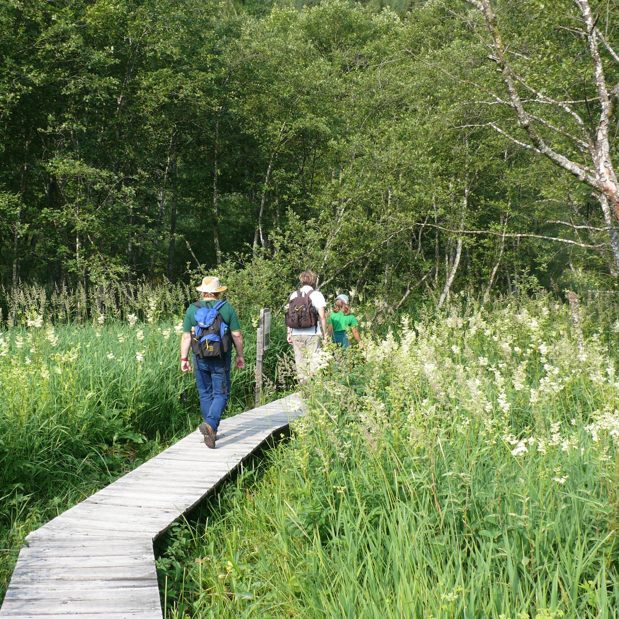
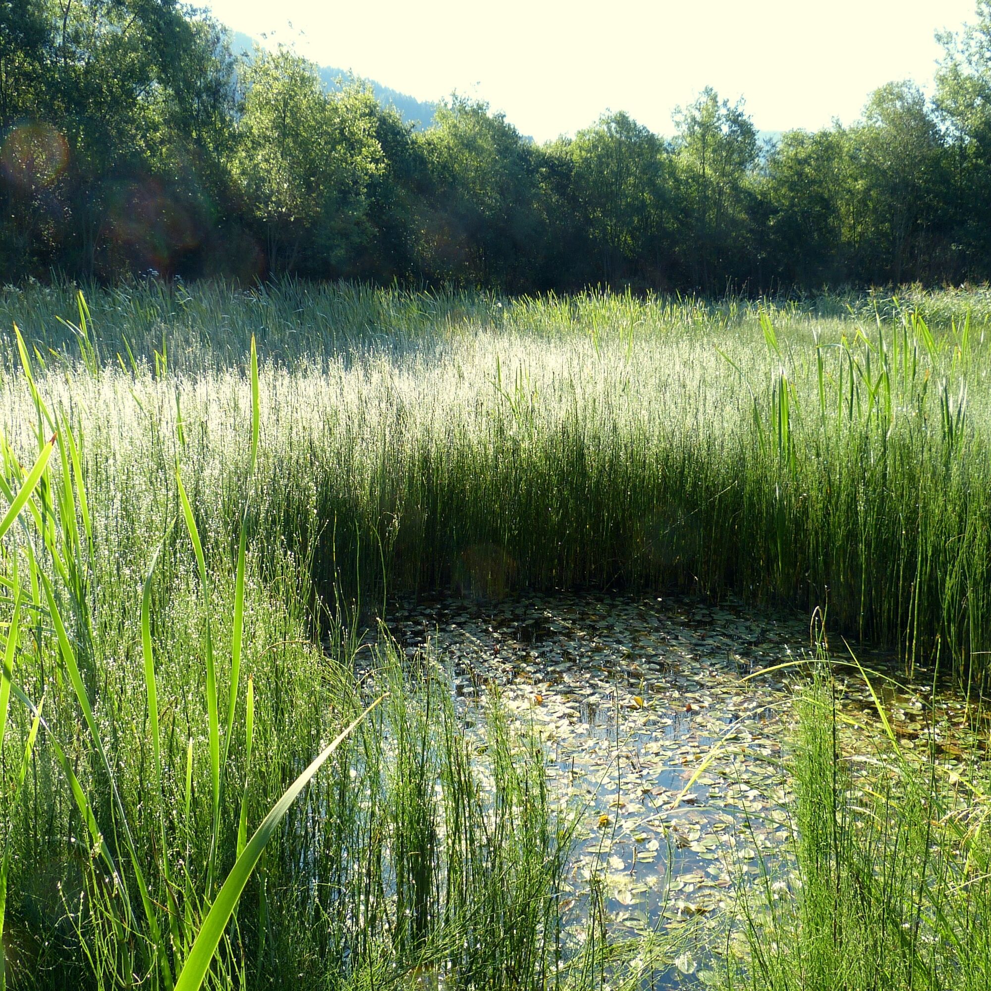
If you walk over the Emmi Antes footbridge, you have the opportunity to experience the moor up close and observe the unique vegetation and moor fauna. You will pass some boards that inform you about the Natura 2000 and landscape protection area. At the moor pond, you will learn how the moor formed over the last millennia. The path continues along the Hörfeldbach to the Speckbauer Bridge. Here you turn left and walk along a pleasantly shady forest path towards Althaus. On the "Althauser Blick," a viewing terrace situated high above the moor, you can take a break and enjoy the magnificent view of the Zirbitzkogel and over the moor.
To the west you can see the ruins of Althaus – you briefly follow the path along the pasture until you reach the gravel road, which takes you back to the level of the moor. If you climb the moor observation tower, you can view the moor meadows from above. The route continues over the Althauser Bridge towards the state road. The return to the starting point is made on the Görtschitztal cycle path beside the road. Along the way, you pass a large information board giving you an overview of the special features of the moor.
Tak
Sturdy footwear, drinking supply, and sun protection are recommended!
please stay on the marked path
From the south B92 Görtschitztal Road via Hüttenberg
From the north B92 Görtschitztal Road via Mühlen
ÖBB timetable information:
https://fahrplan.oebb.at/webapp/#!P|TP!H|468232
Parking spaces available at the Emmi Antes footbridge
Find more routes here:
https://regio.outdooractive.com/oar-mittelkaernten/de/
To discover the impressive flora and fauna of the Natura 2000 area, it is possible to book a guide.
Popularne wycieczki w okolicy
-
4,7
Graggerschlucht
średniTrasa tematyczna 3,91 km -
4,6
Zirbitzkogel-Runde über Lindersee
średniWędrówka 10,5 km -
4,9
Zirbitzkogel Wildsee Rothaidehütte
średniWędrówka 15,4 km -
4,8
Zirbitzkogel Waldheimhütte - Wildsee - Fuchskogel - Zirbitzkogel, Steiermark/Österreich
średniWędrówka 15,2 km -
3,8
Vom Almidyll Sabathy (Sabathyhütte) auf den Zirbitzkogel
średniWędrówka 7,70 km -
4,7
Skitour Hohe Ranach
średniWycieczka narciarska 3,04 km -
4,6
Skitour Zirbitzkogel
średniWycieczka narciarska 6,01 km -
5,0
Rothaidehütte Runde Zirbitzkogel
średniWędrówka 6,17 km -
4,4
Naturfreundehaus Winterleiten 1800 m- Zirbitzkogel 2369 m- Kreiskogel 2340 - Winterleitenhütte
ciężkiWędrówka 11,9 km -
3,8
Zirbitzkogeltour
średniWędrówka 10,2 km
Wędrówki i tropienie


Nie przegap ofert i inspiracji na następne wakacje
Twój adres e-mail została dodana do listy mailingowej.