







Stage 06 Luchs Trail Johnsbach - Ennstalerhütte (standard)
Poziom trudności: T2
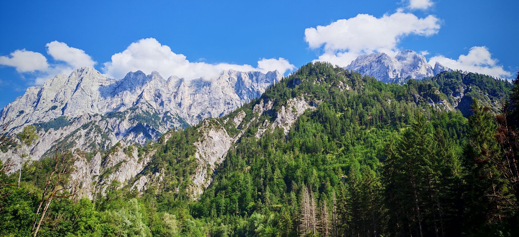
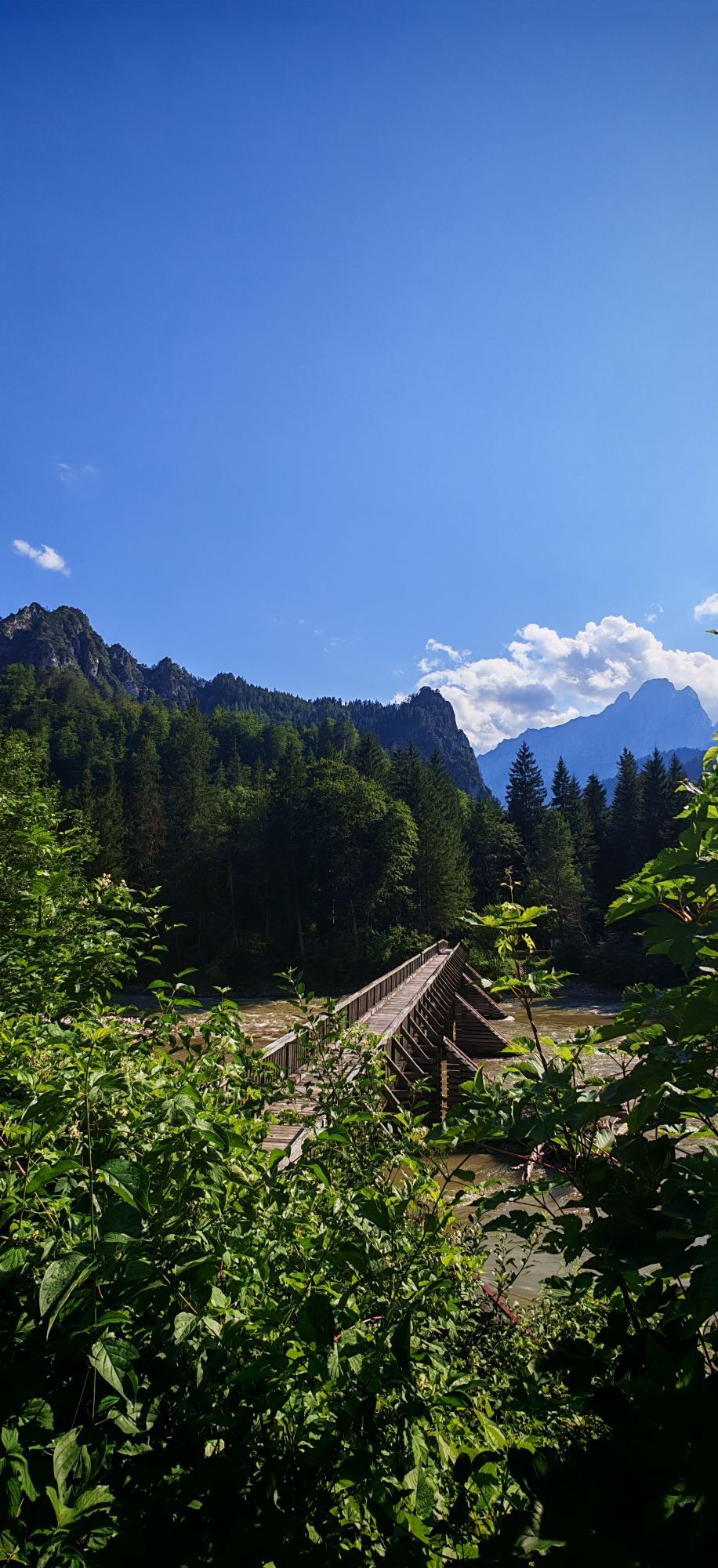
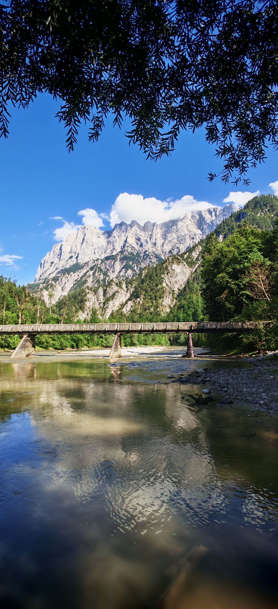
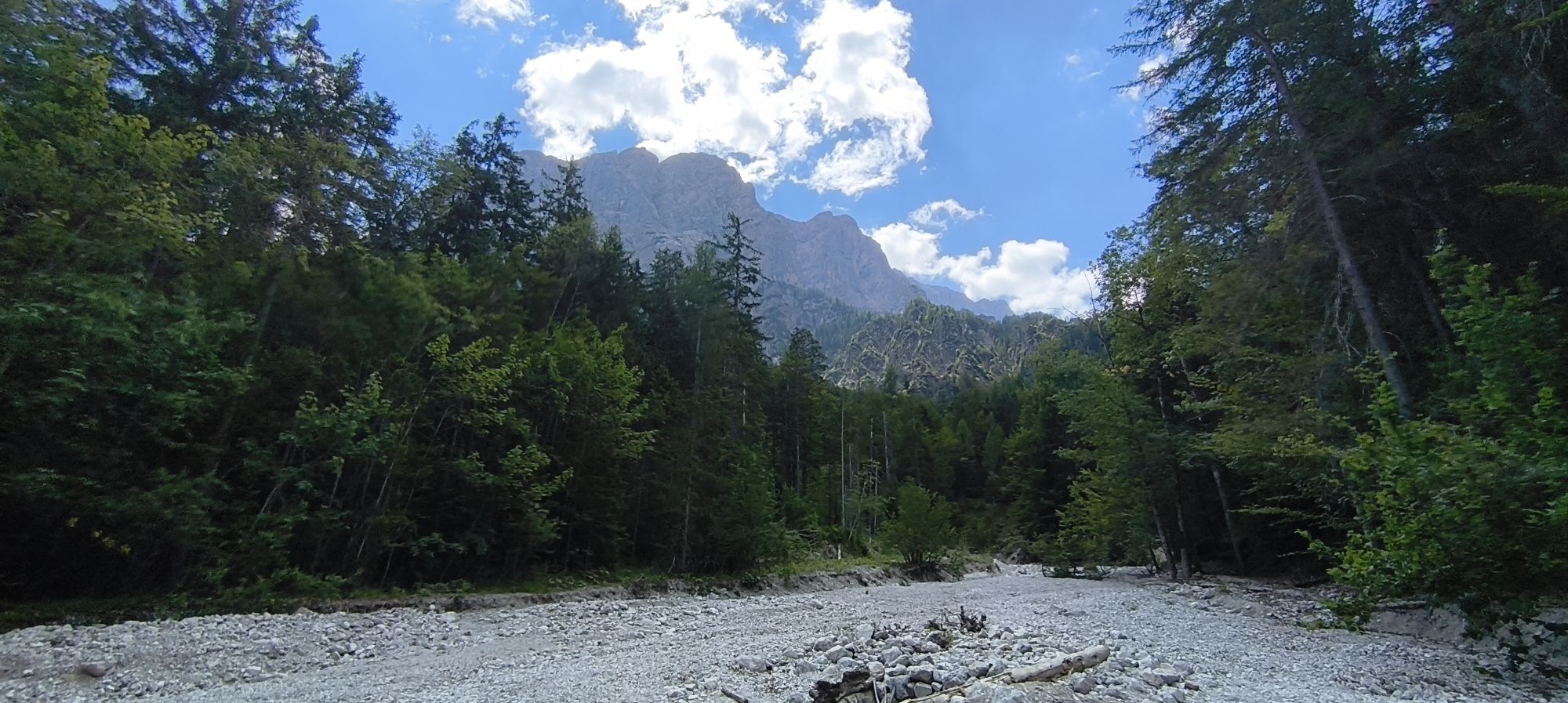
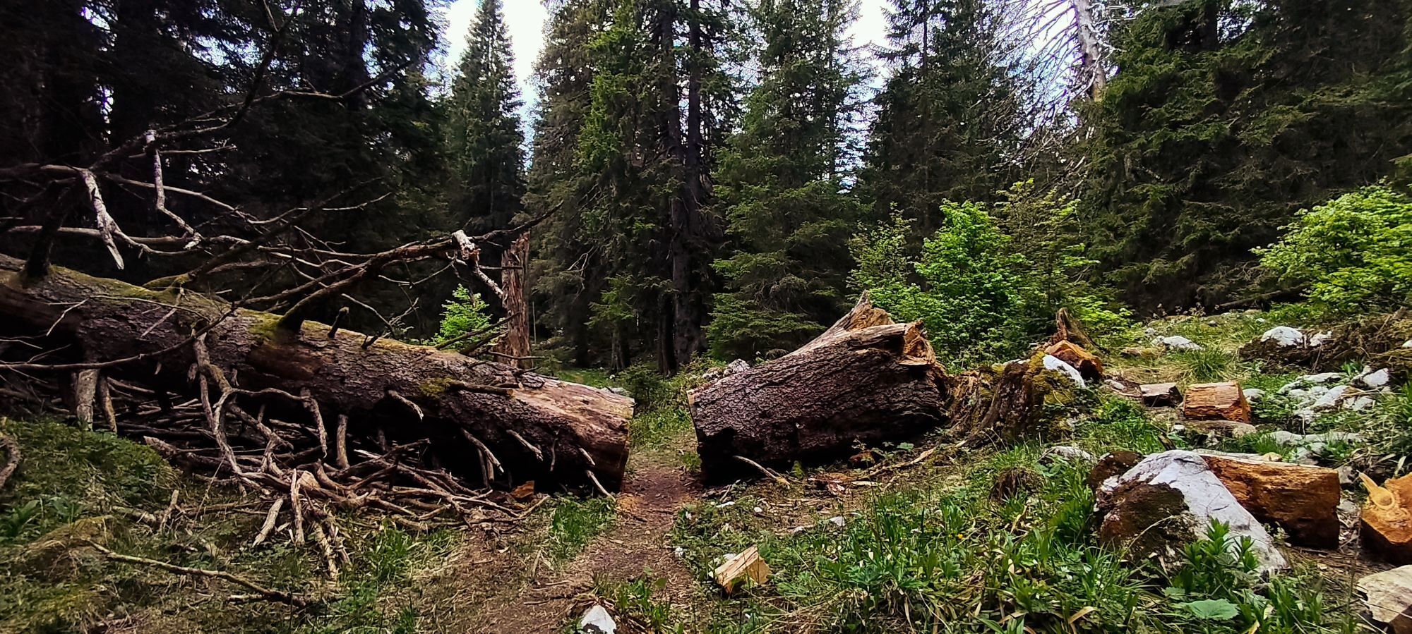
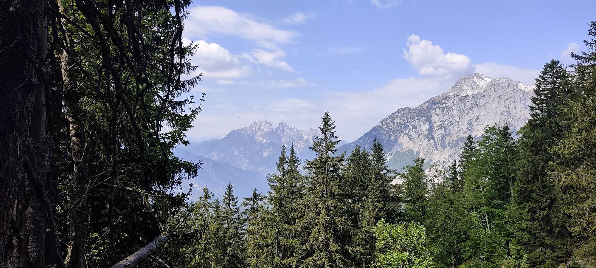
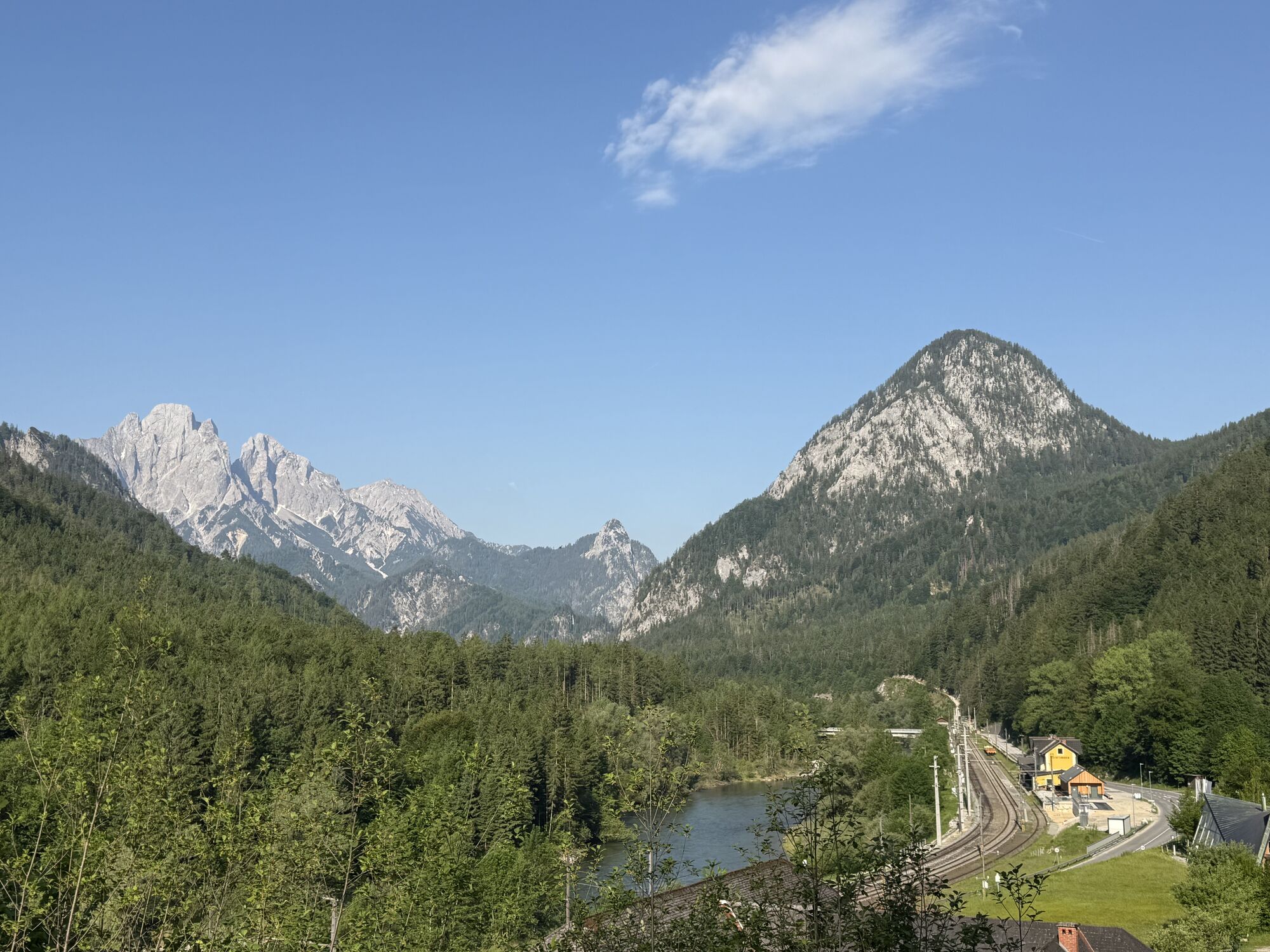
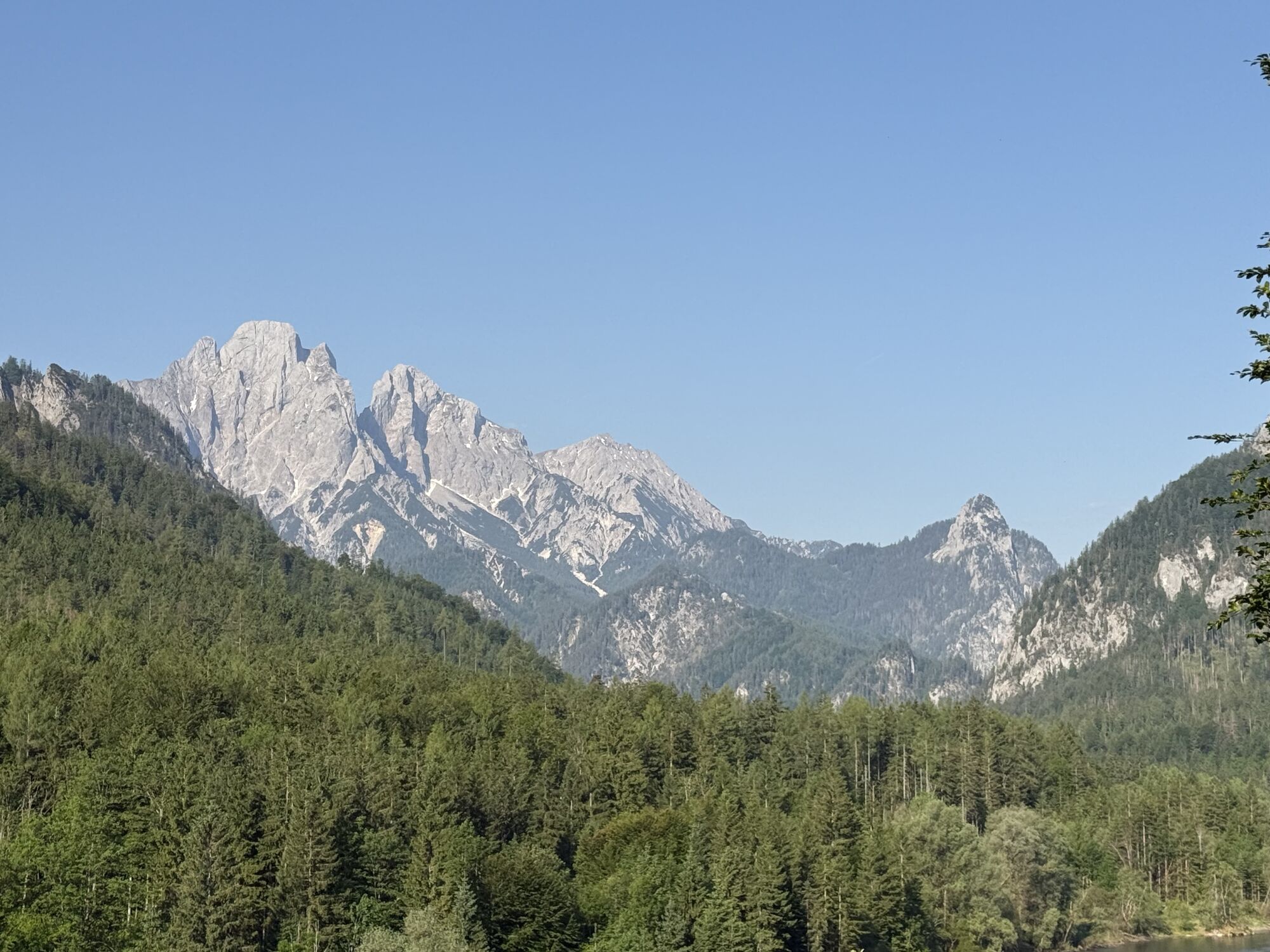
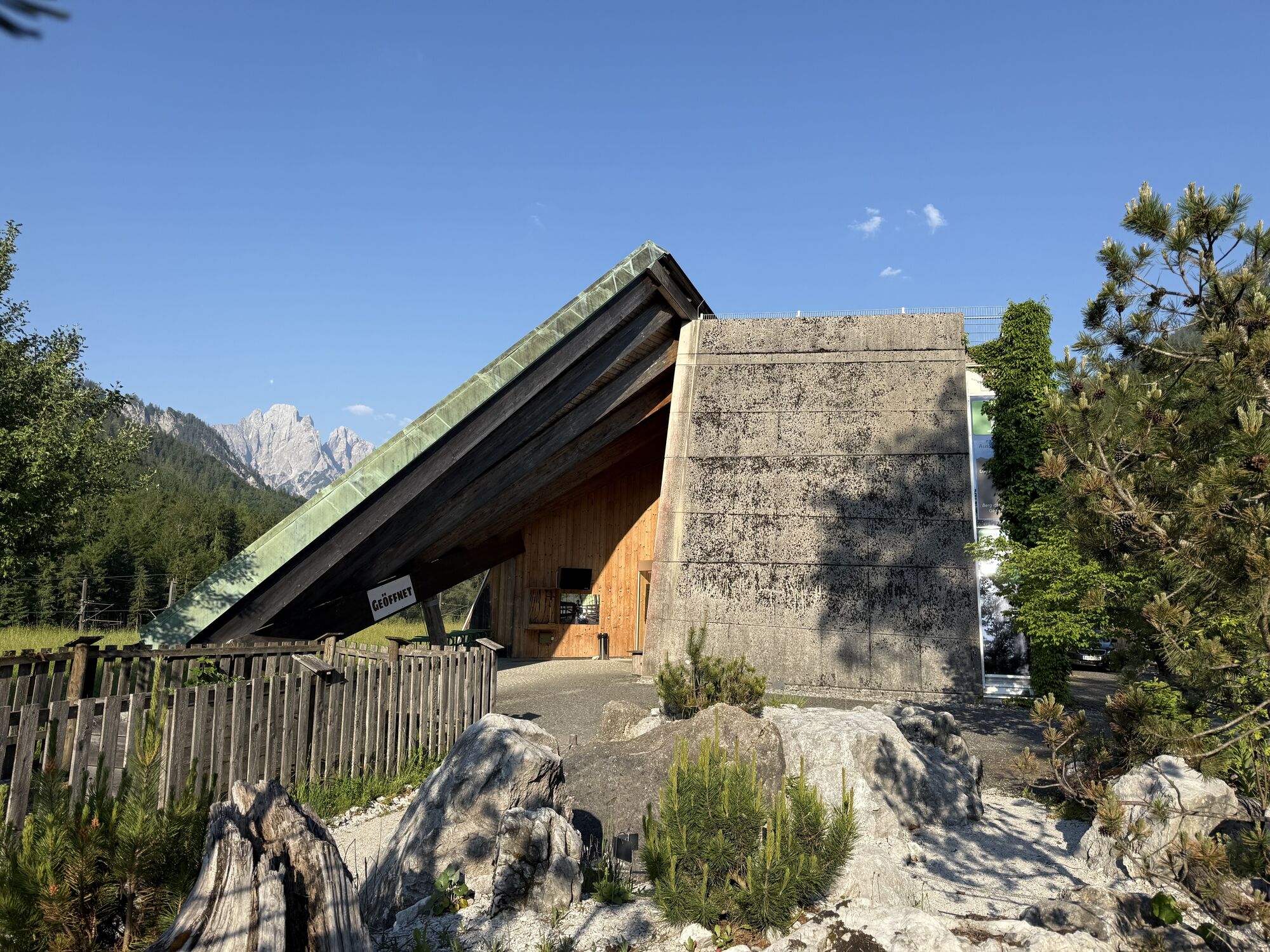
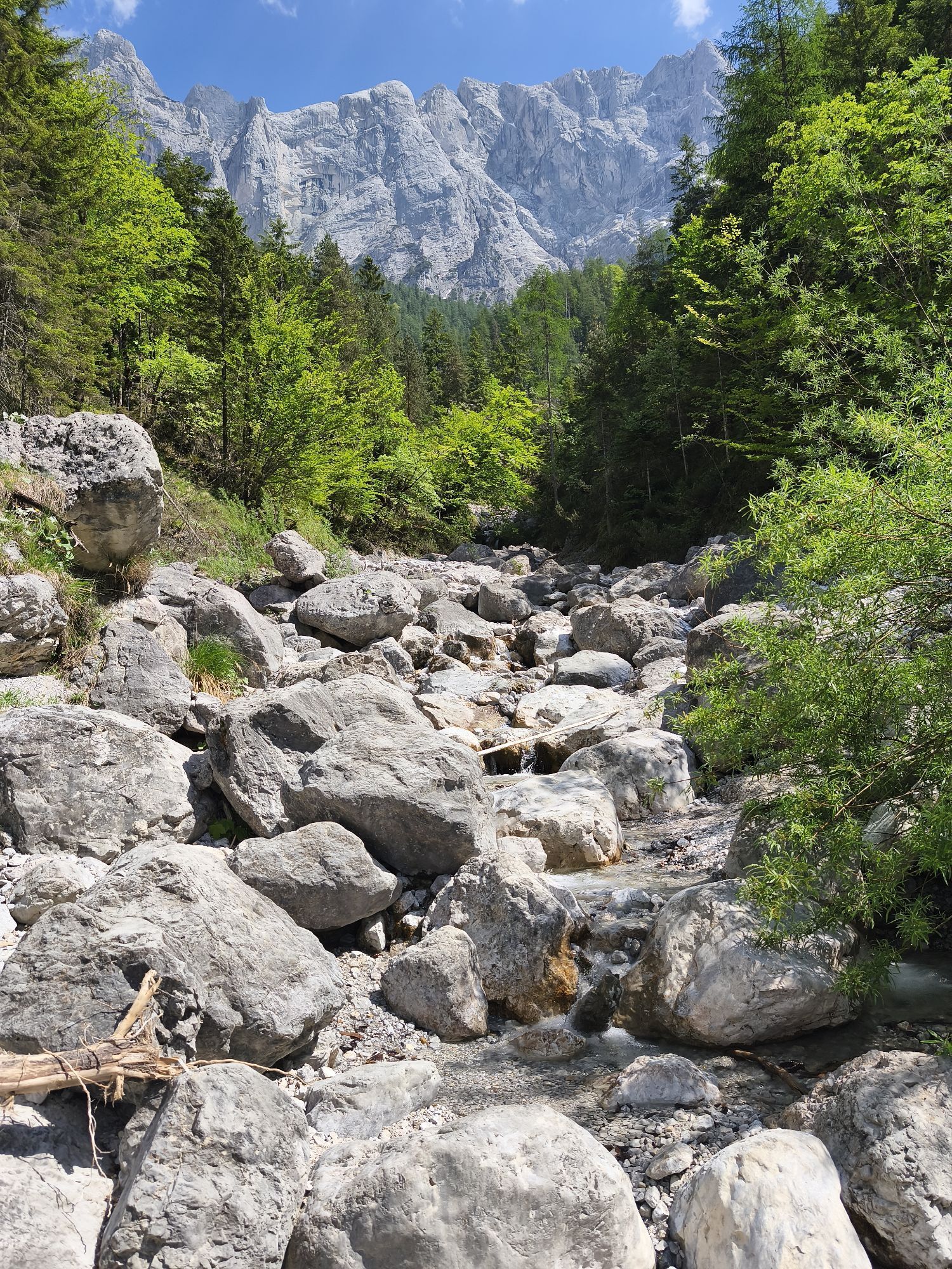
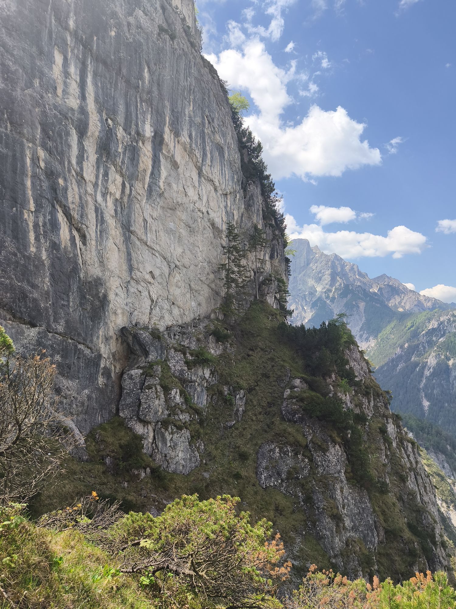
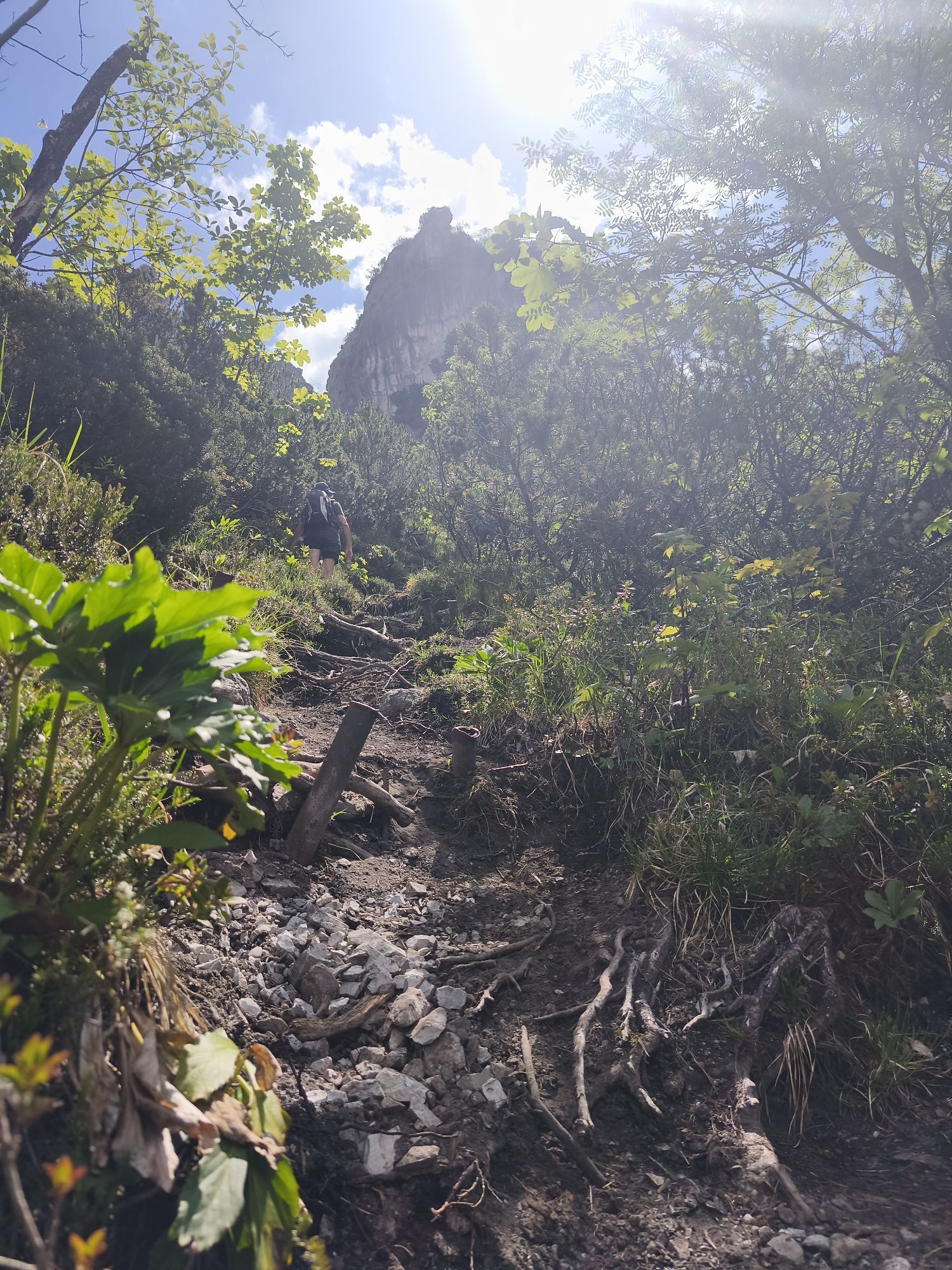
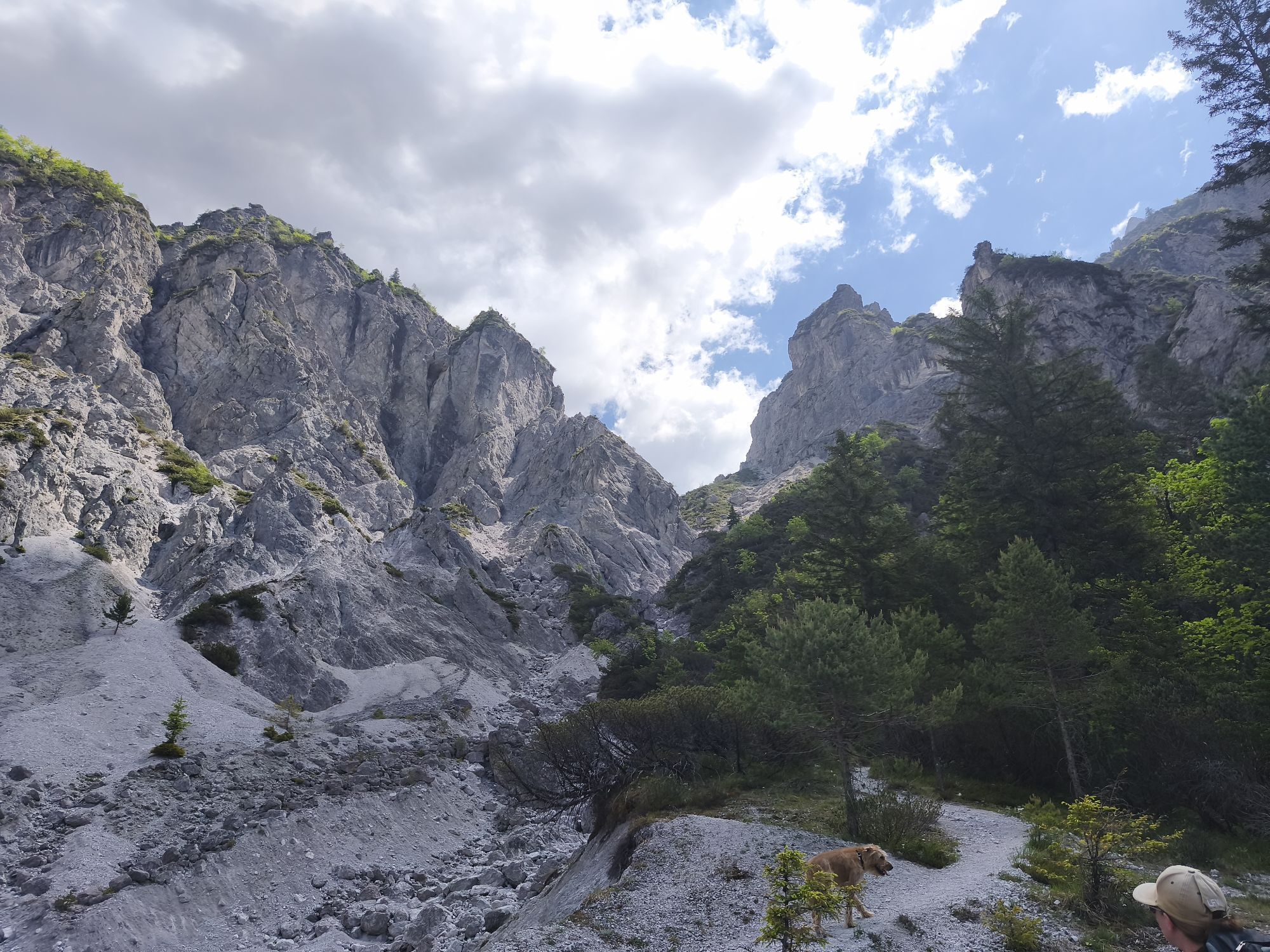
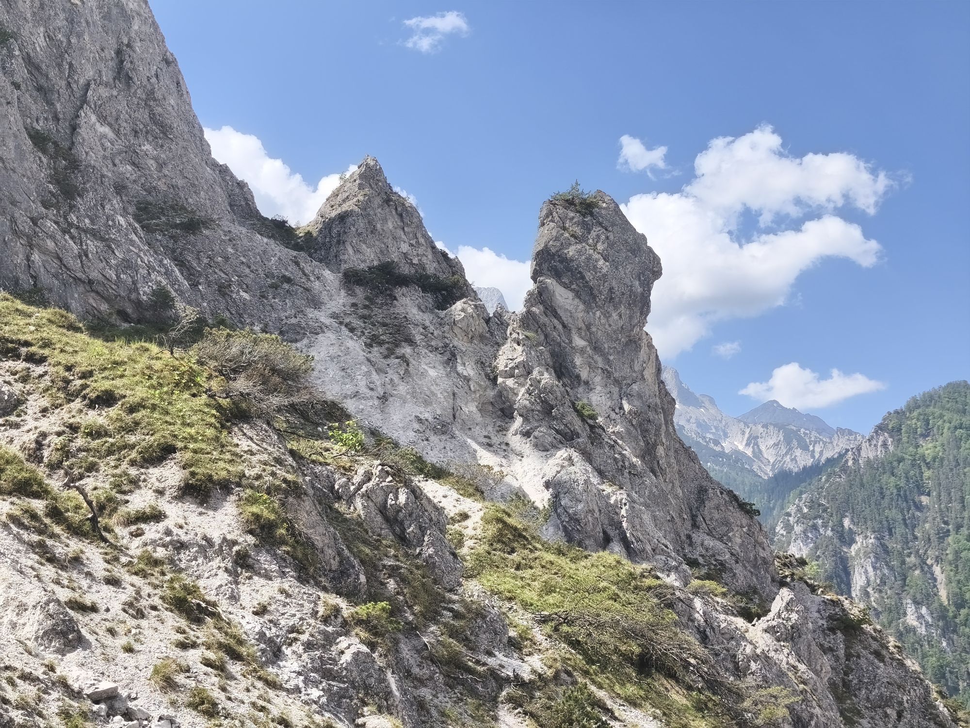
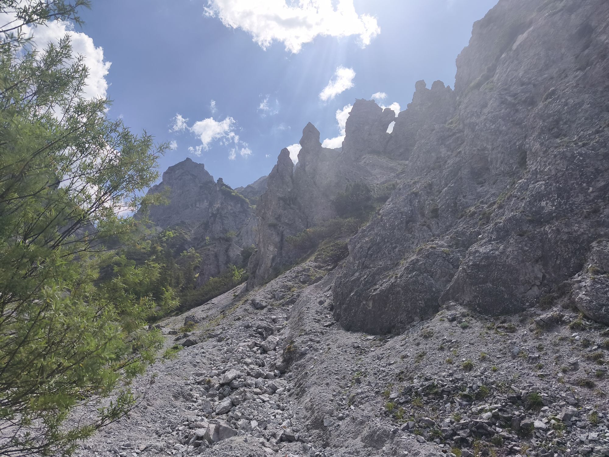
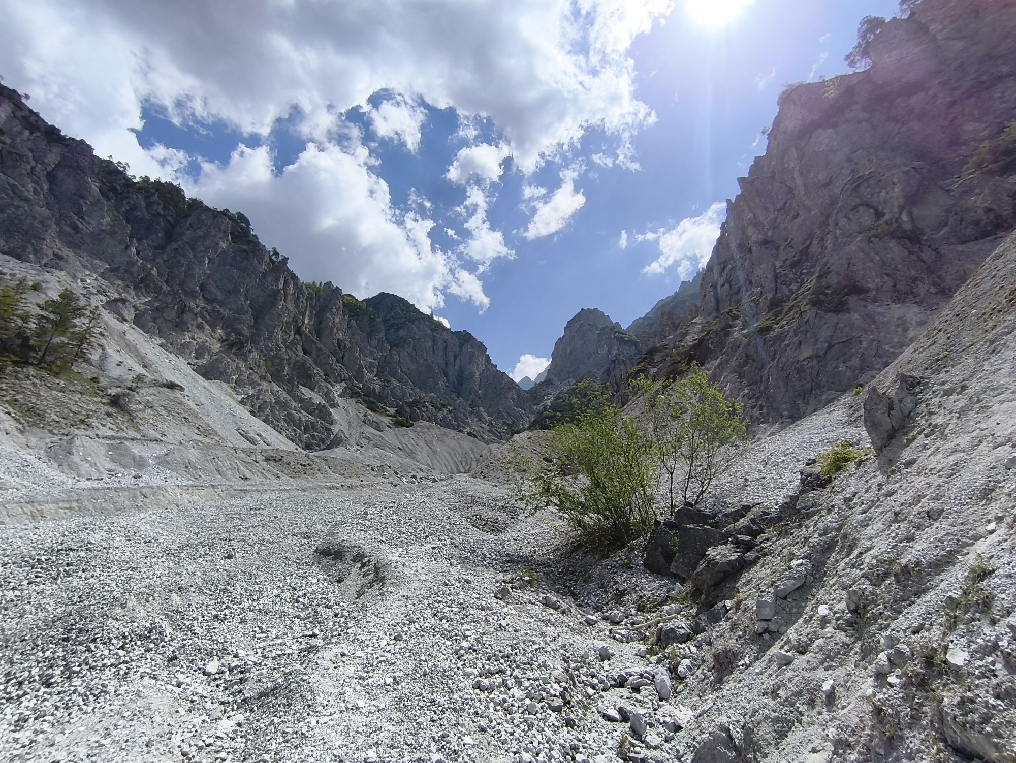
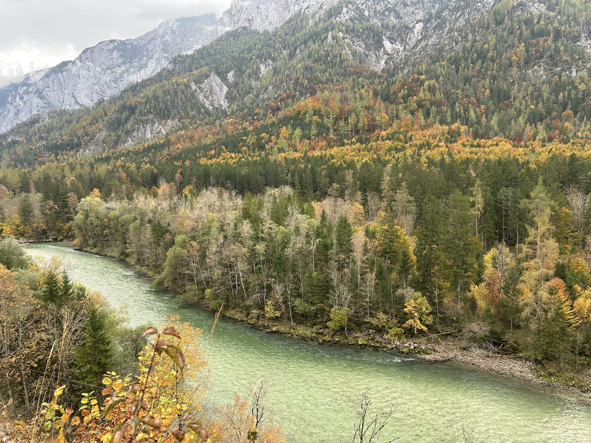
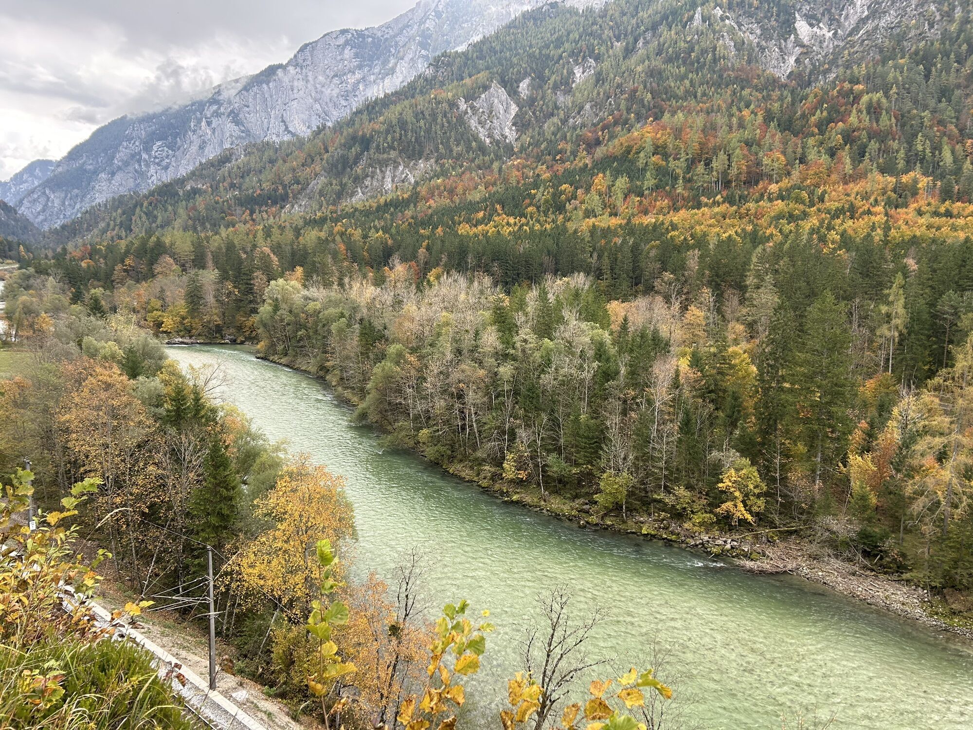
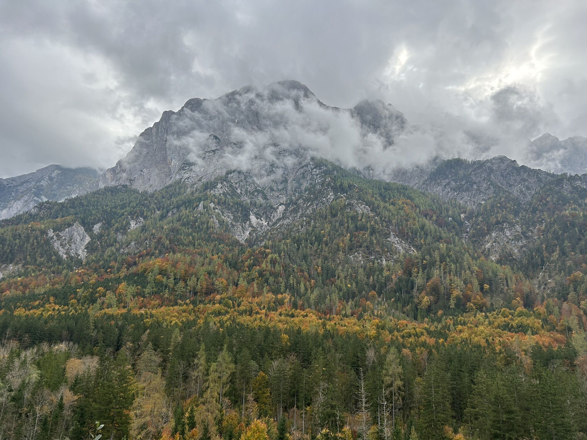
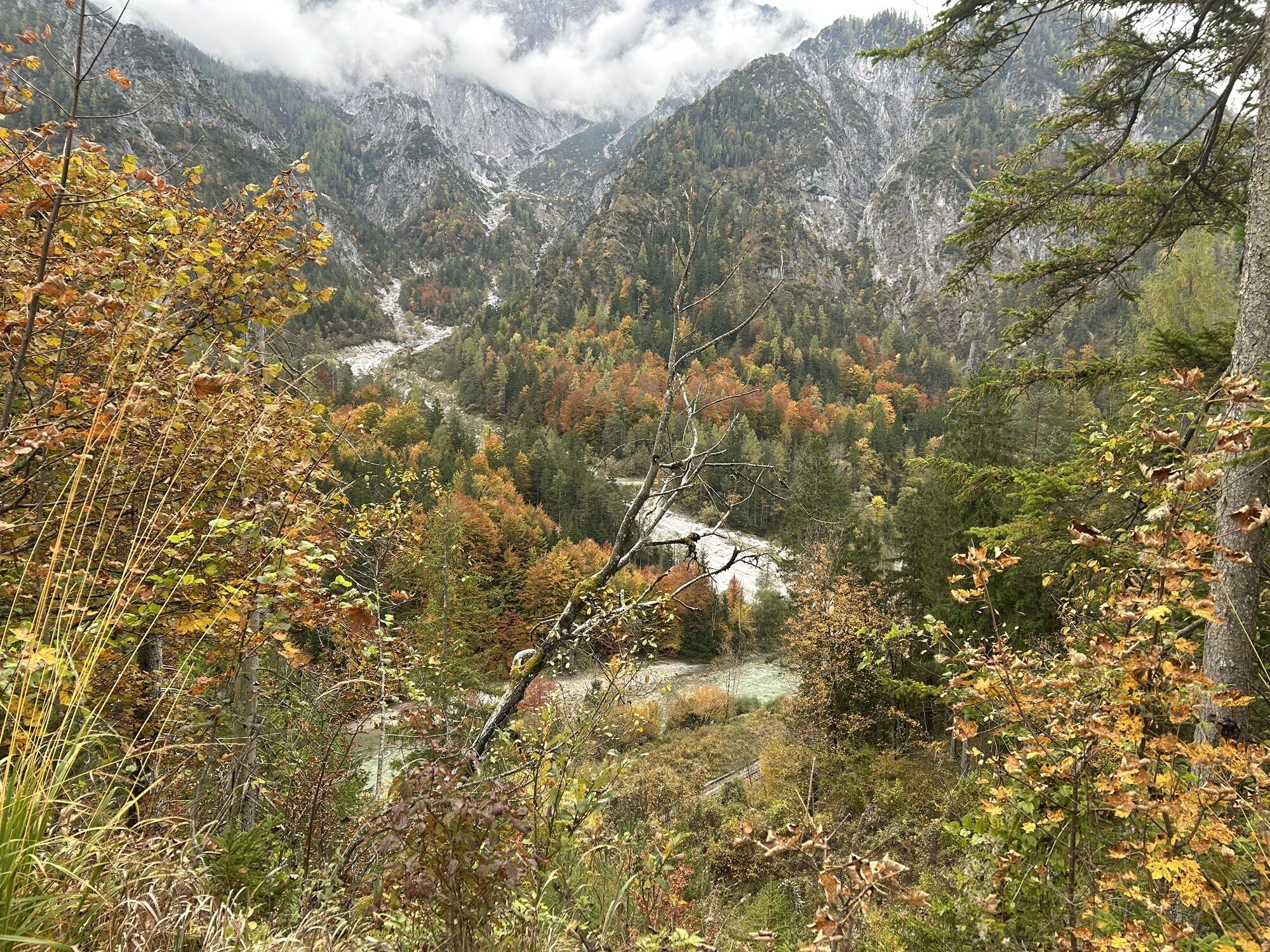
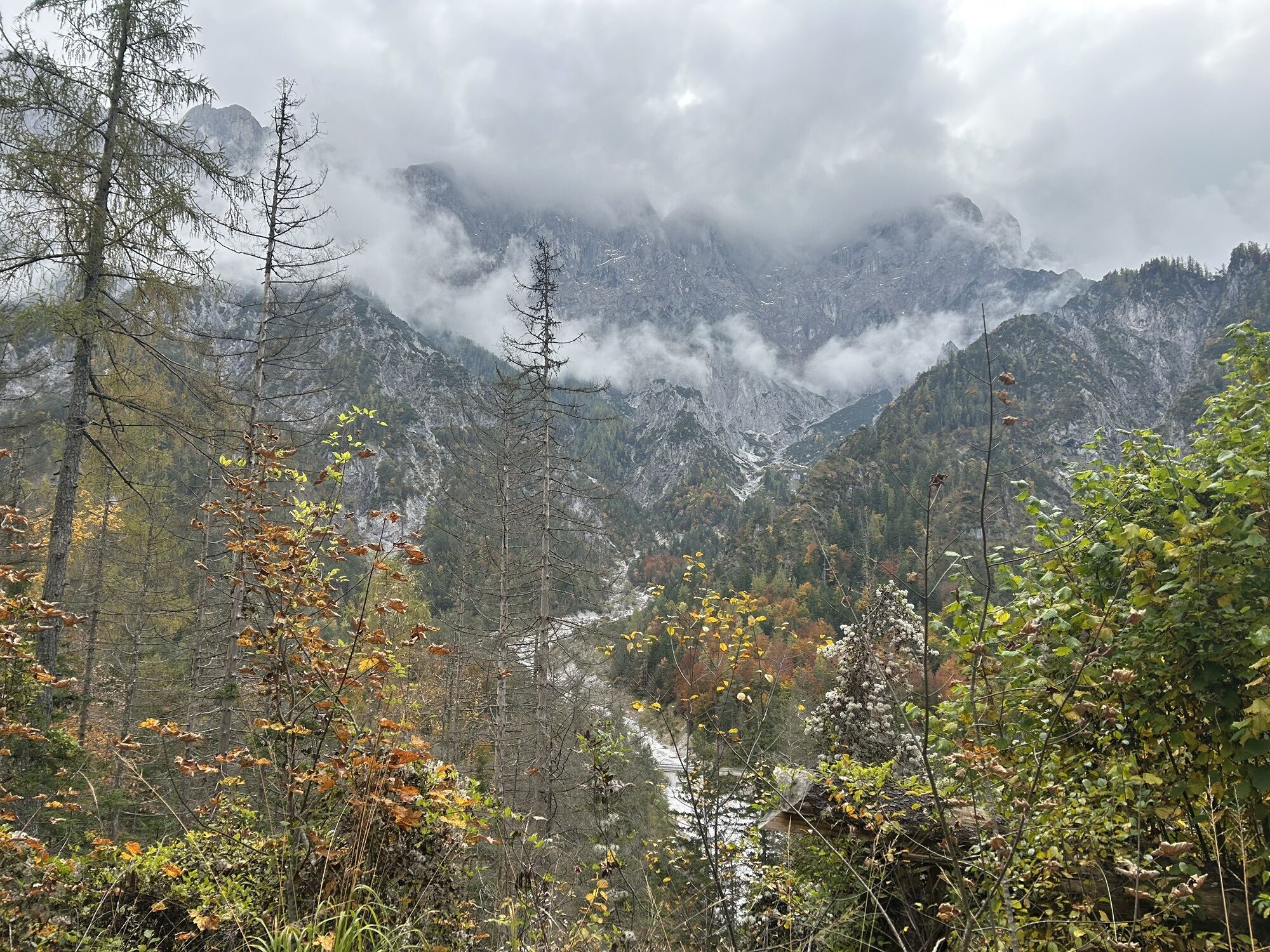
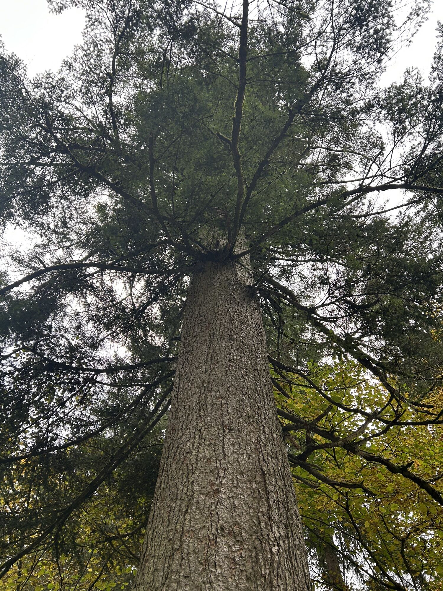
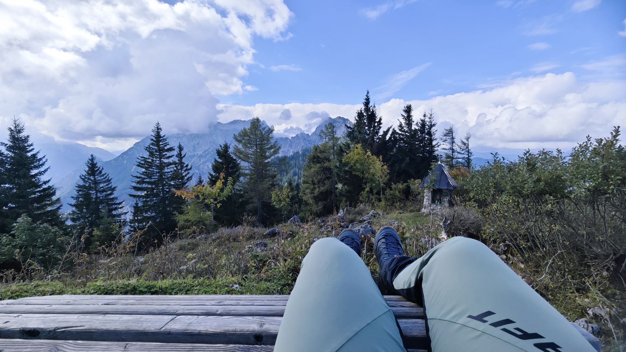
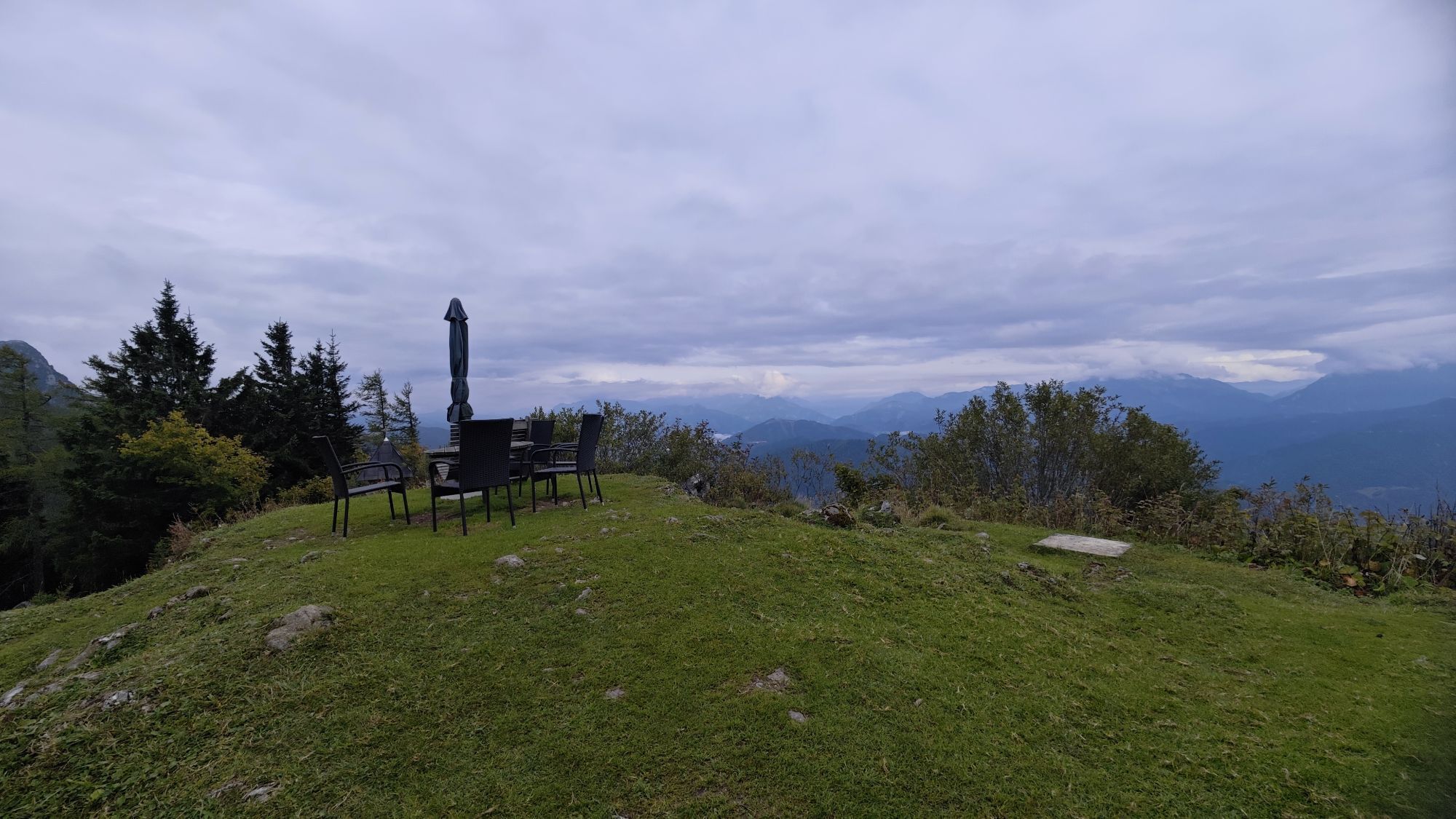
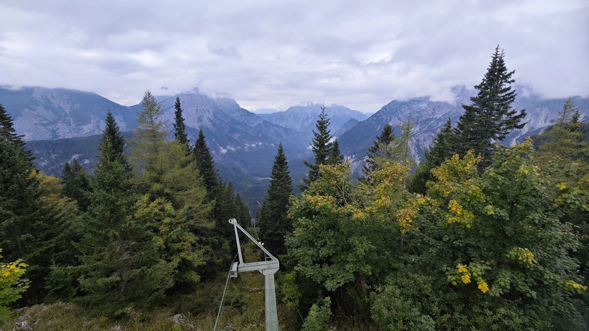
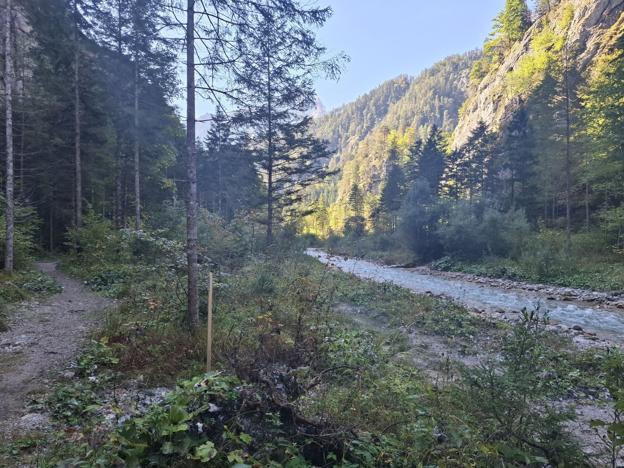
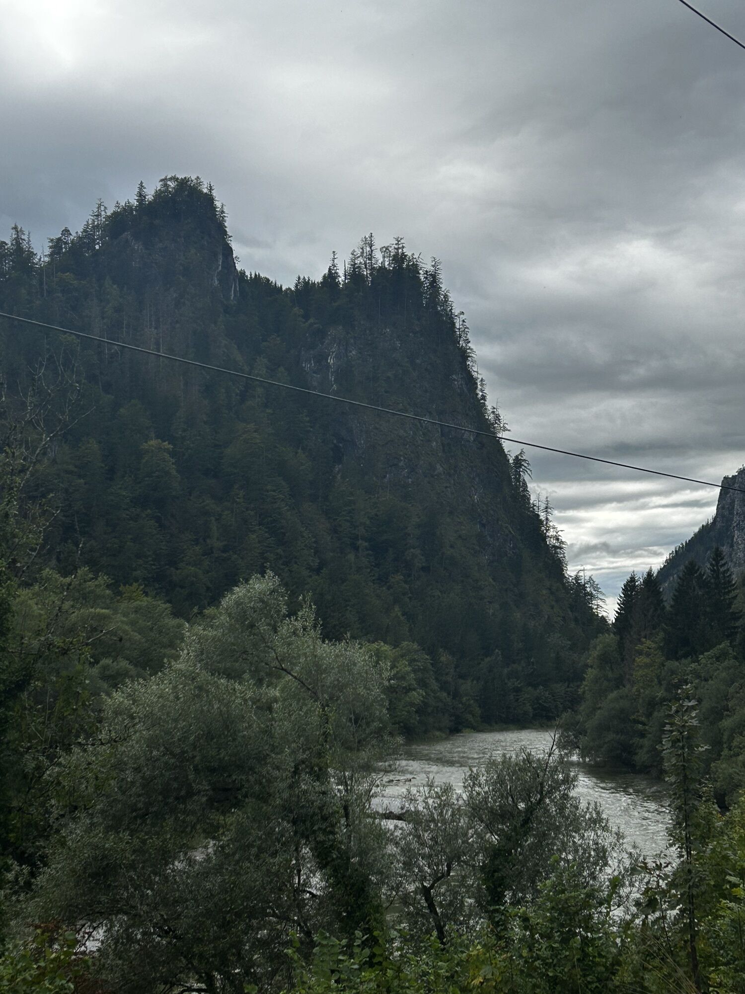
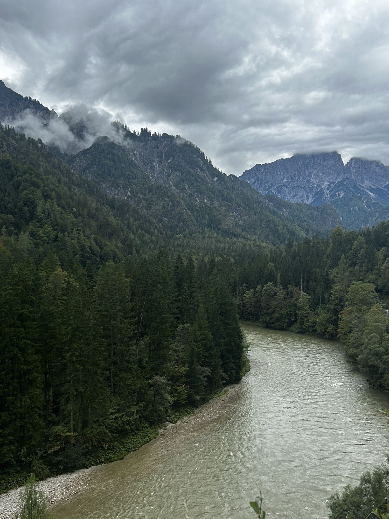
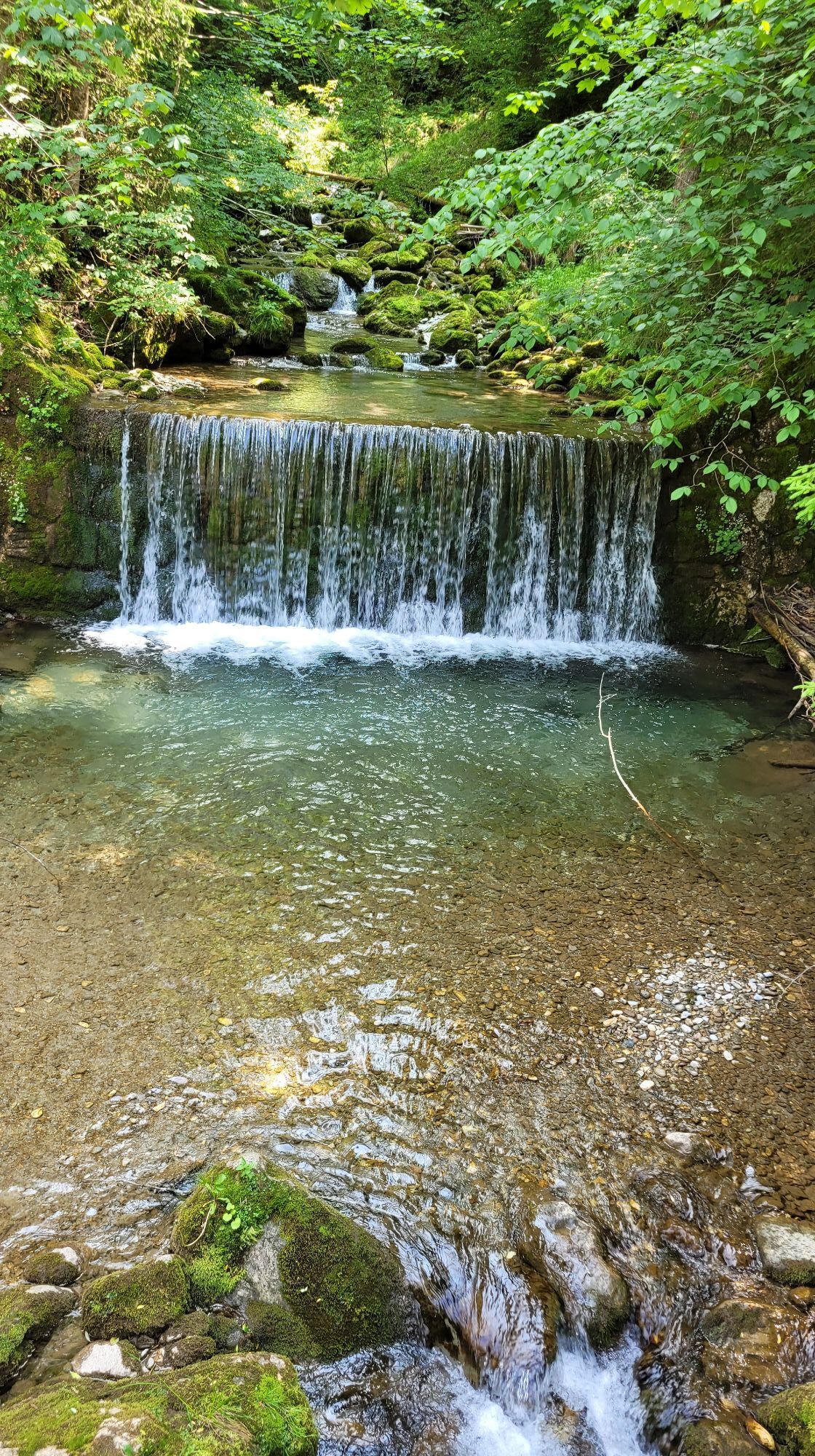
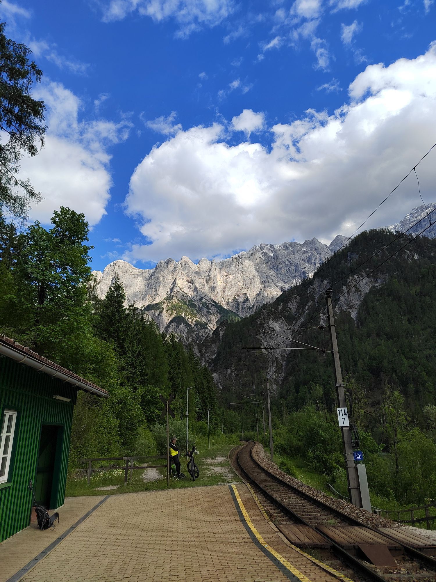
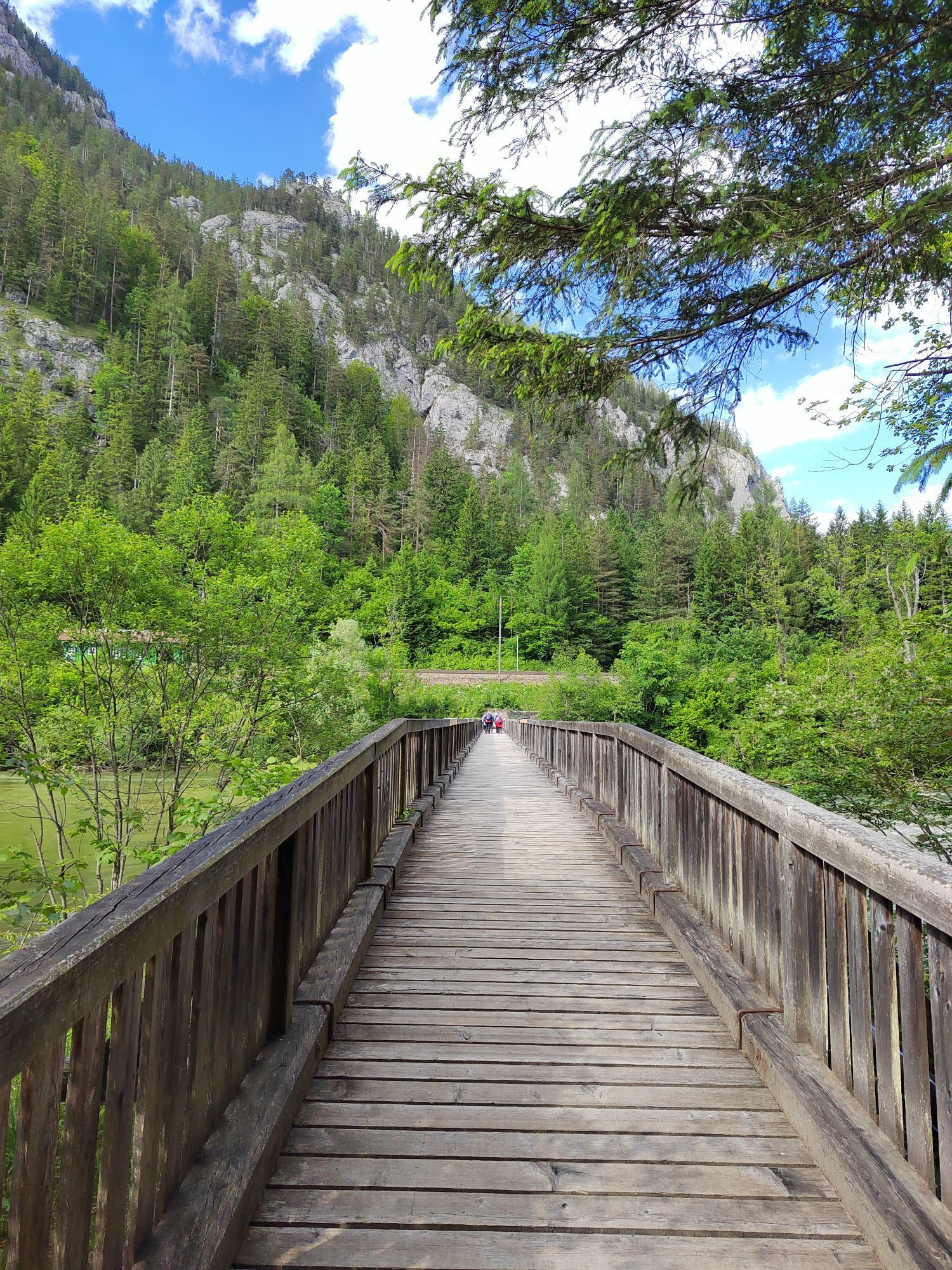
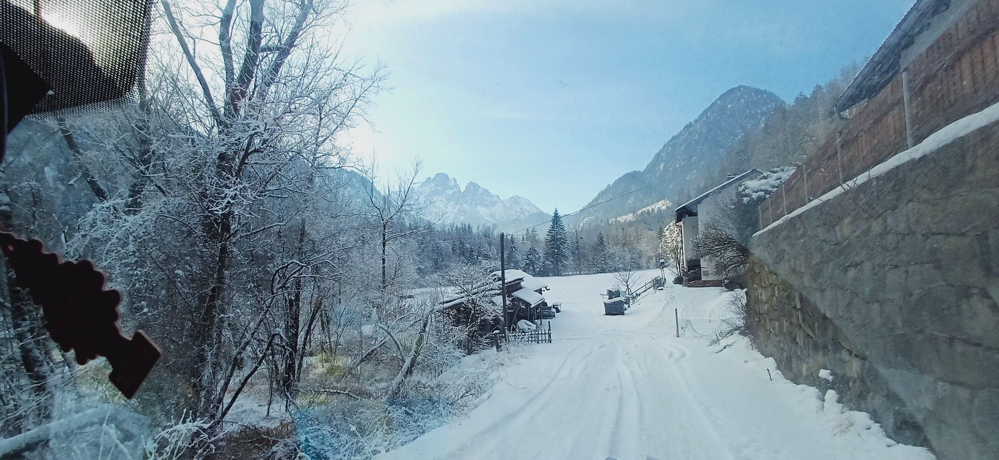
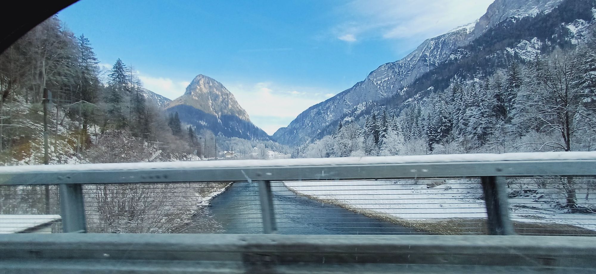
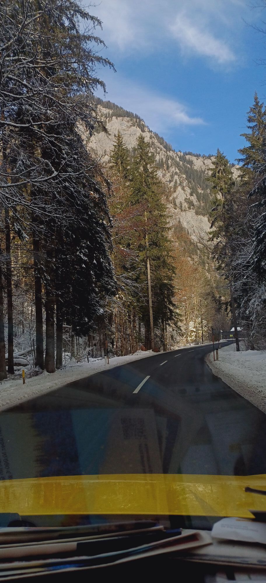
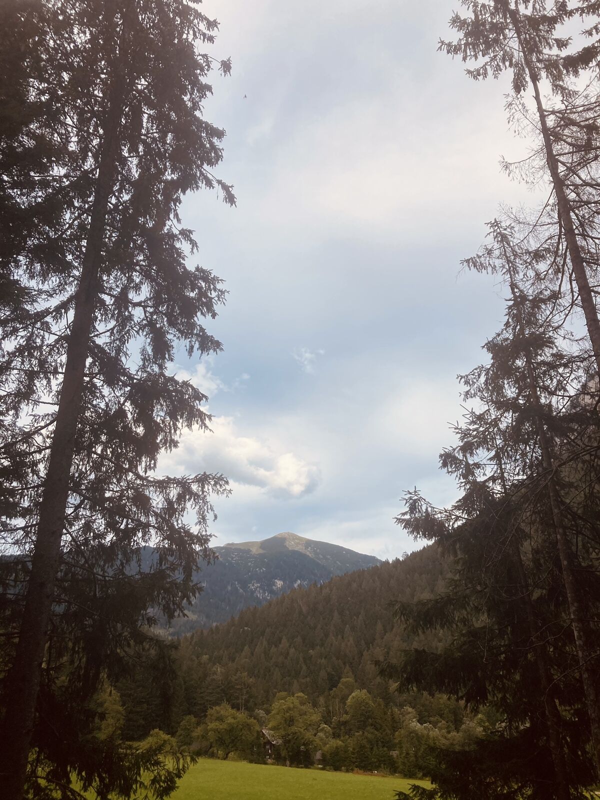



From Gasthof Zum Donner, follow the legend trail parallel to the Johnsbach stream out of the valley towards the Weidendom adventure center, which is located at the confluence of the Johnsbach and Enns rivers. The lower 1.5 km were completely redesigned in 2010 as the "Wilder John" theme trail - a synonym for the Johnsbach. As Wild John was a giant, you will find a giant swing, a giant sandpit, a giant picnic area and much more.
At the Willow Dome, there is a living construction work, as well as the walk-in ecological footprint, a labyrinth of hedges. Resting islands invite you to linger and an exciting footbridge leads through the Lettmair Au.
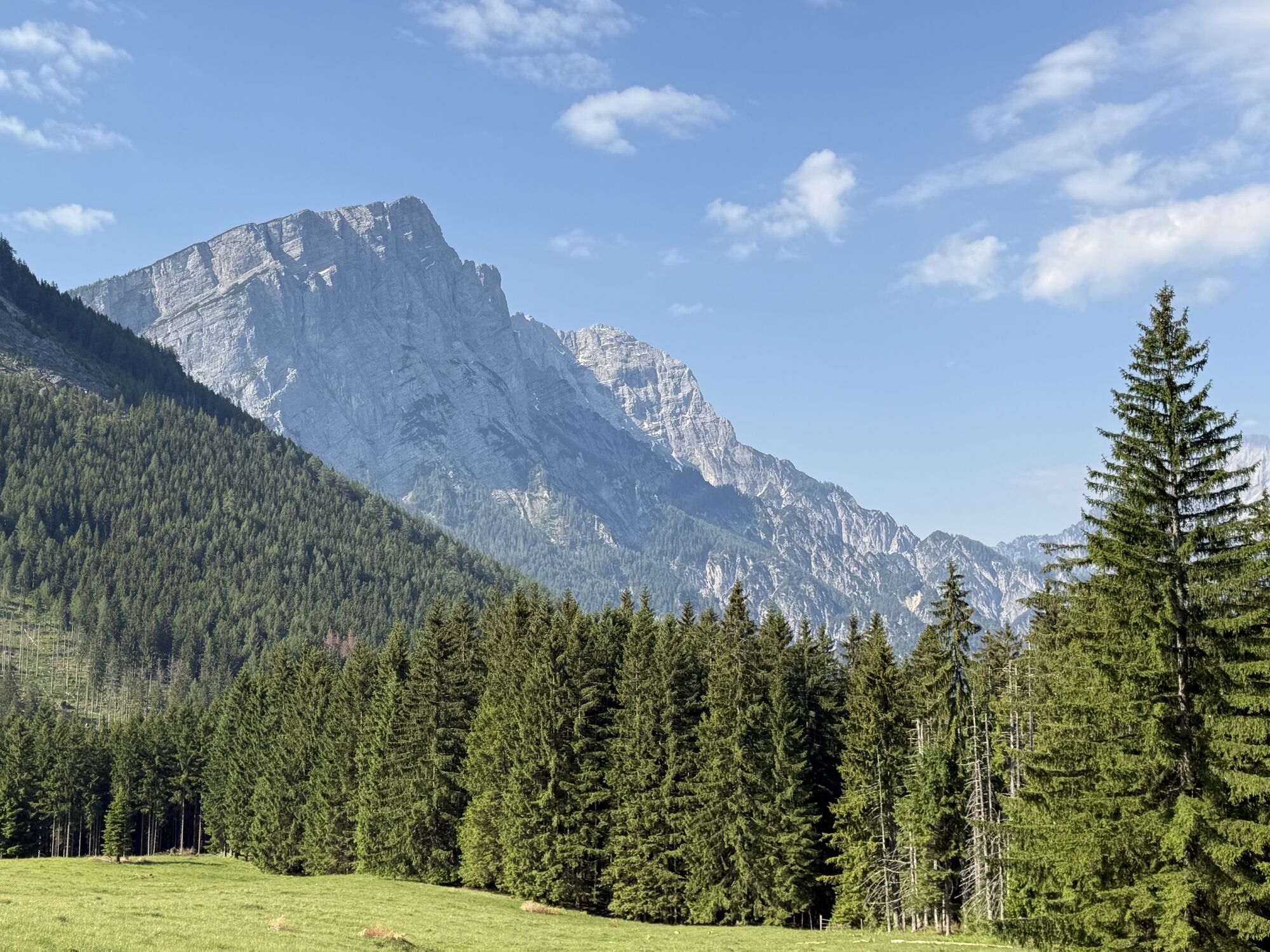
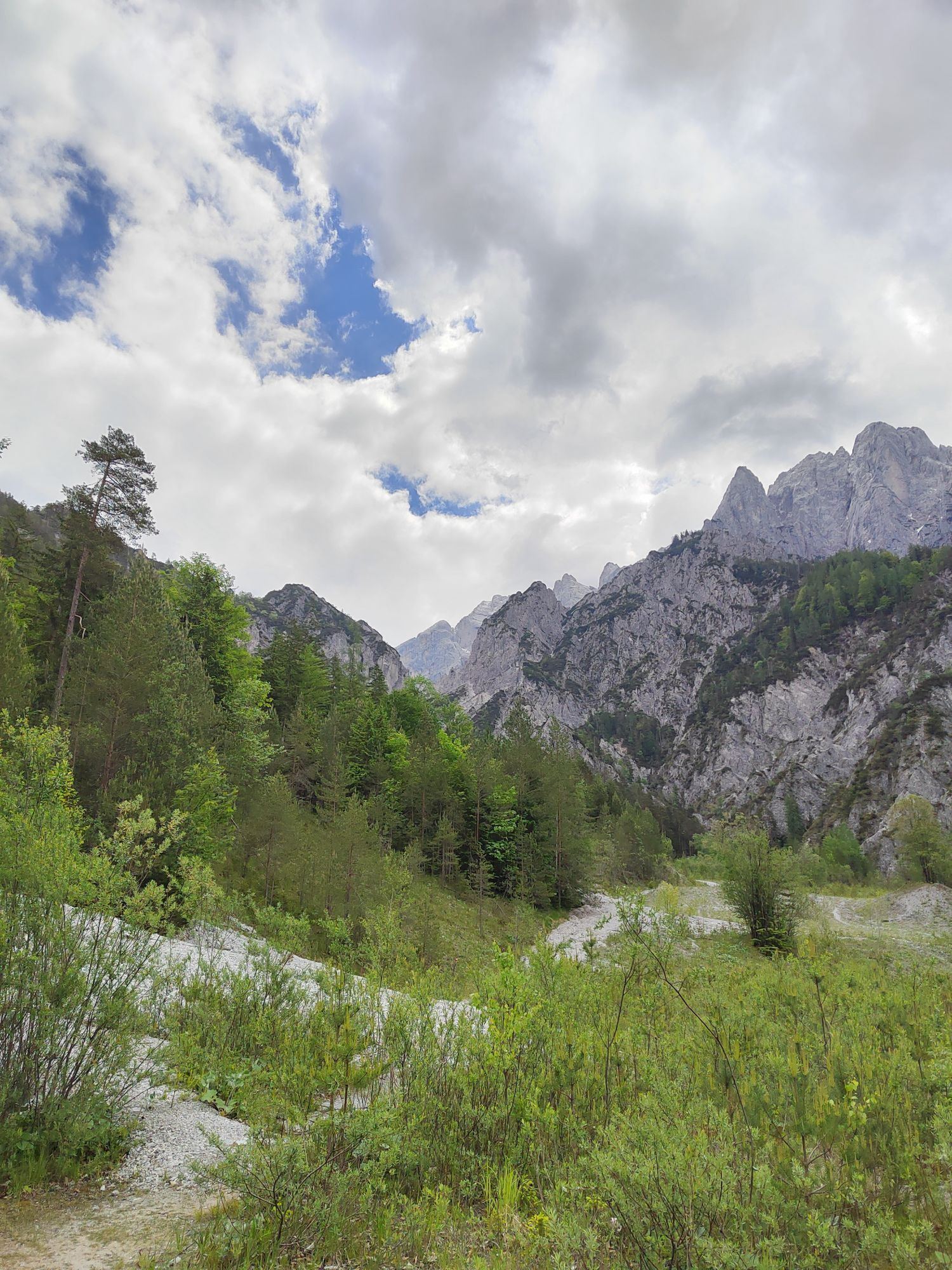
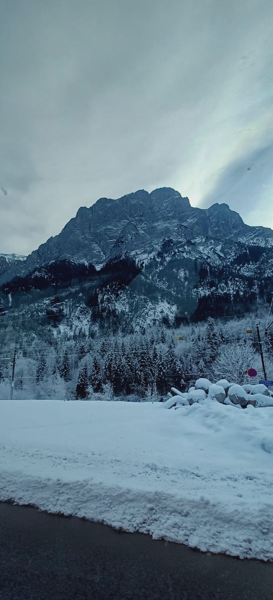
You cross the Enns on a footbridge and continue north along the Rauchbodenweg trail parallel to the Enns to Gstatterboden. Here in the middle of the Gesäuse National Park next to the wild Enns and between the steep rock faces of Buchstein, Ödstein and Hochtor, you feel a bit like you are in the famous Yosemite Valley. Just like there, climbing history has been written in the Gesäuse over the last 100 years. It is not for nothing that the Gesäuse is called the "University of Mountaineering".
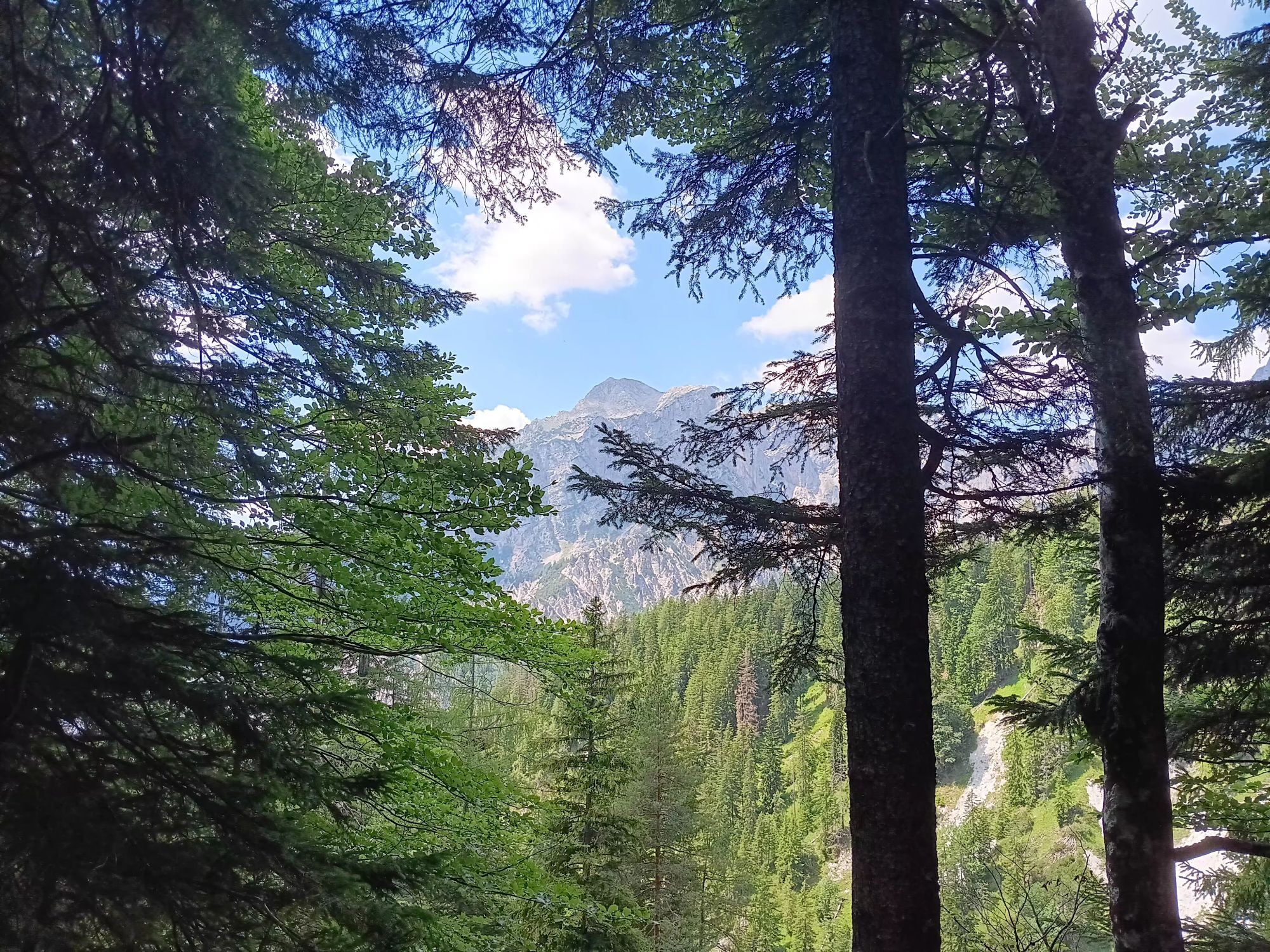
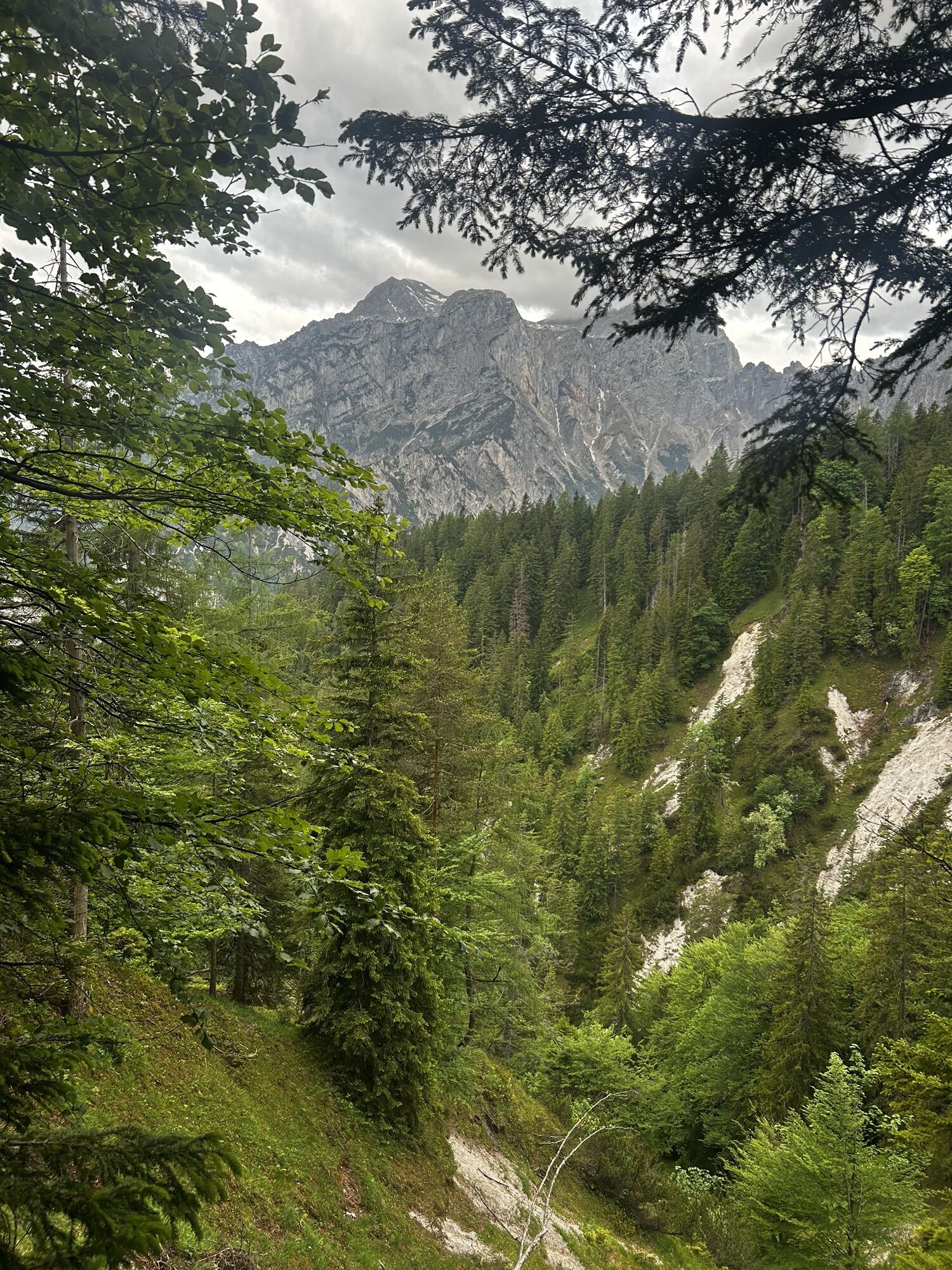
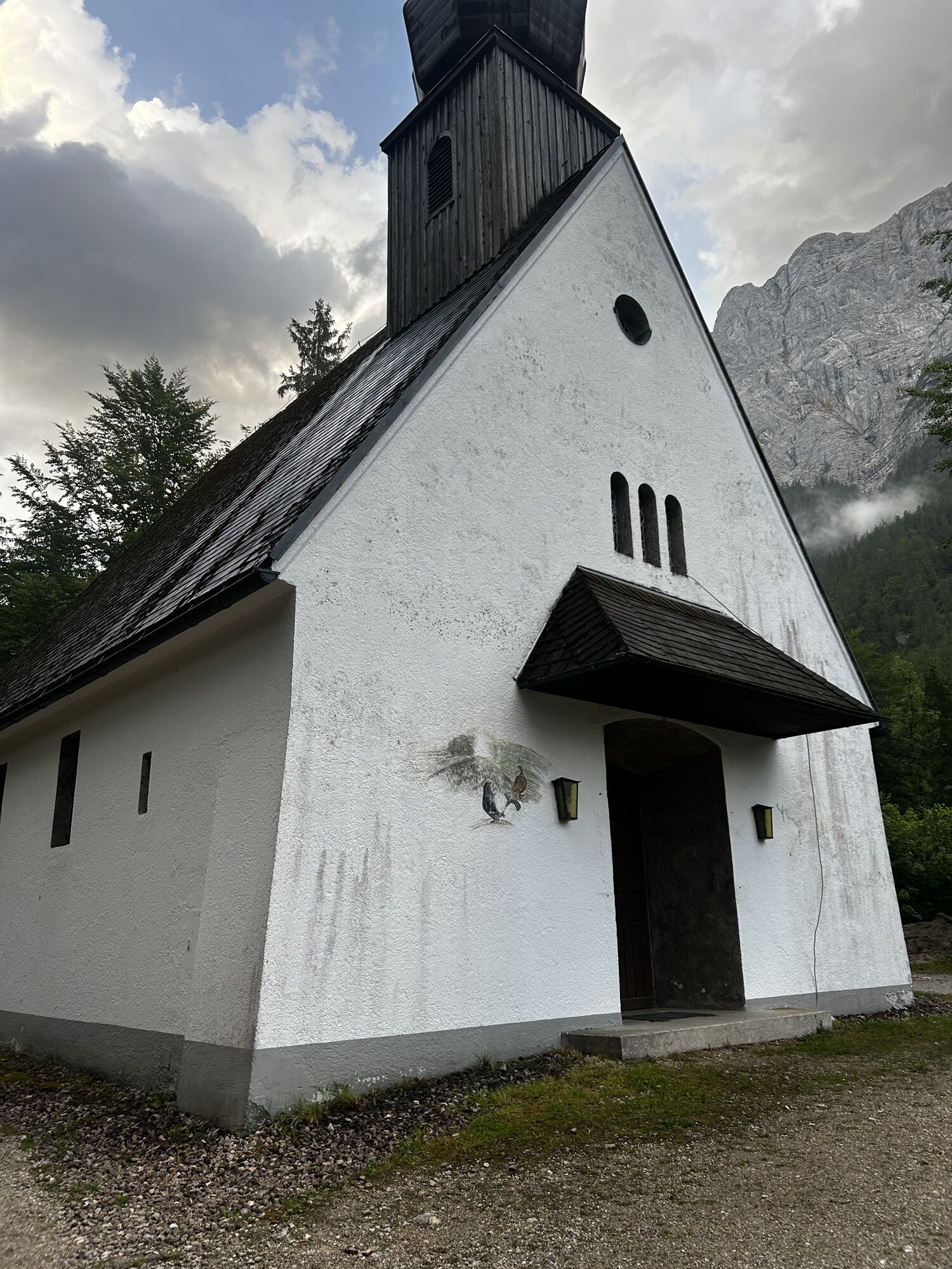
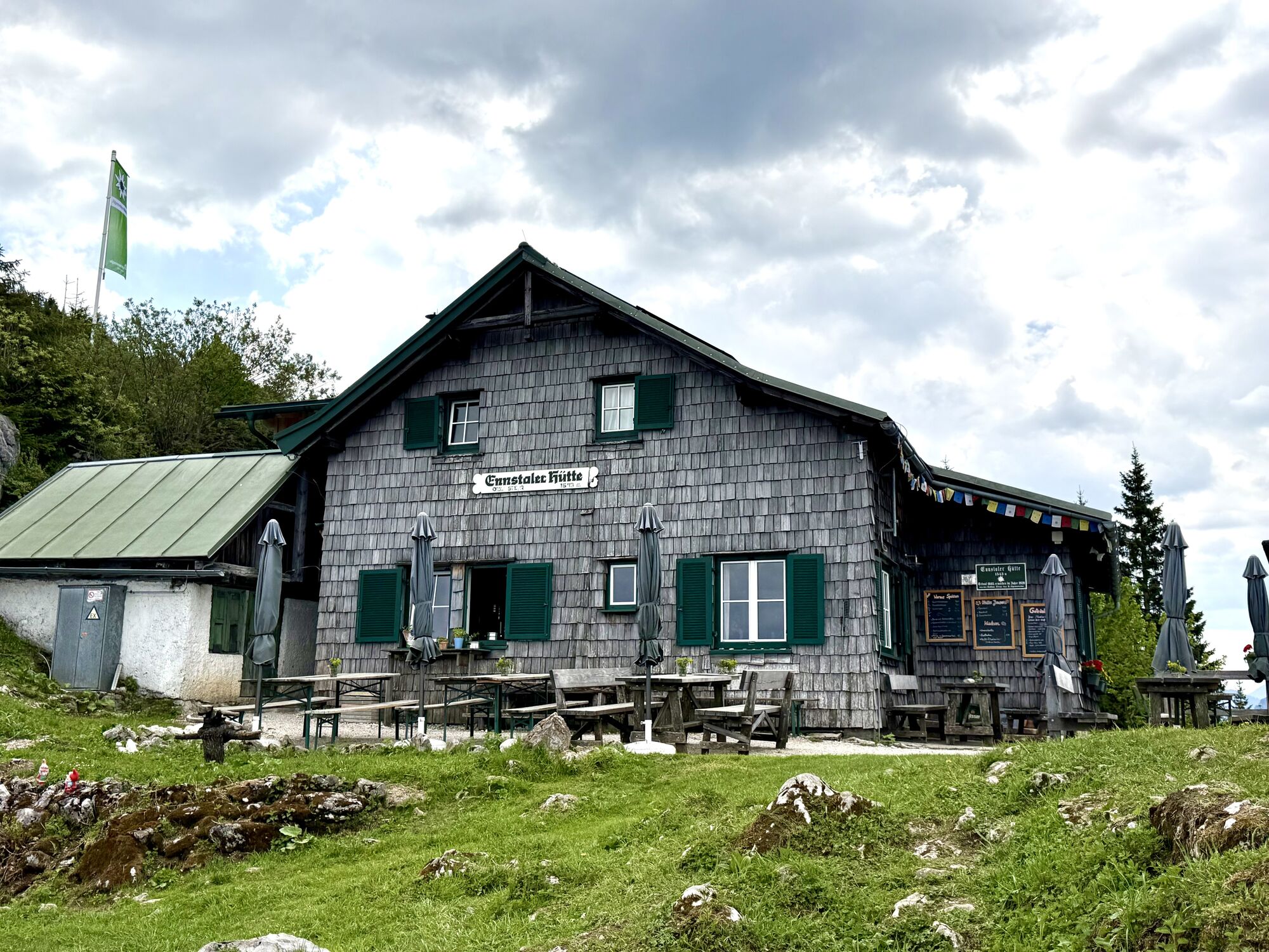
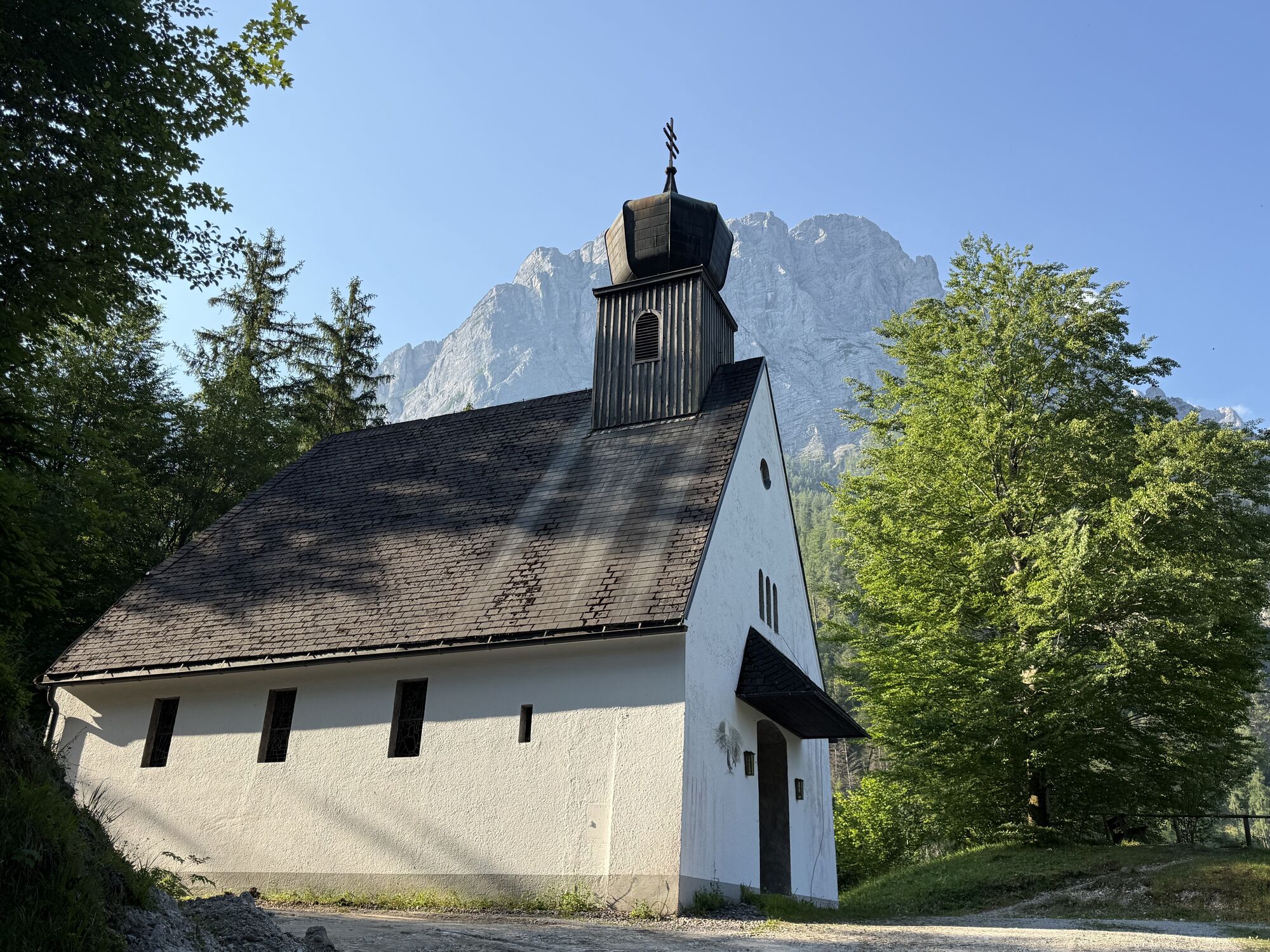
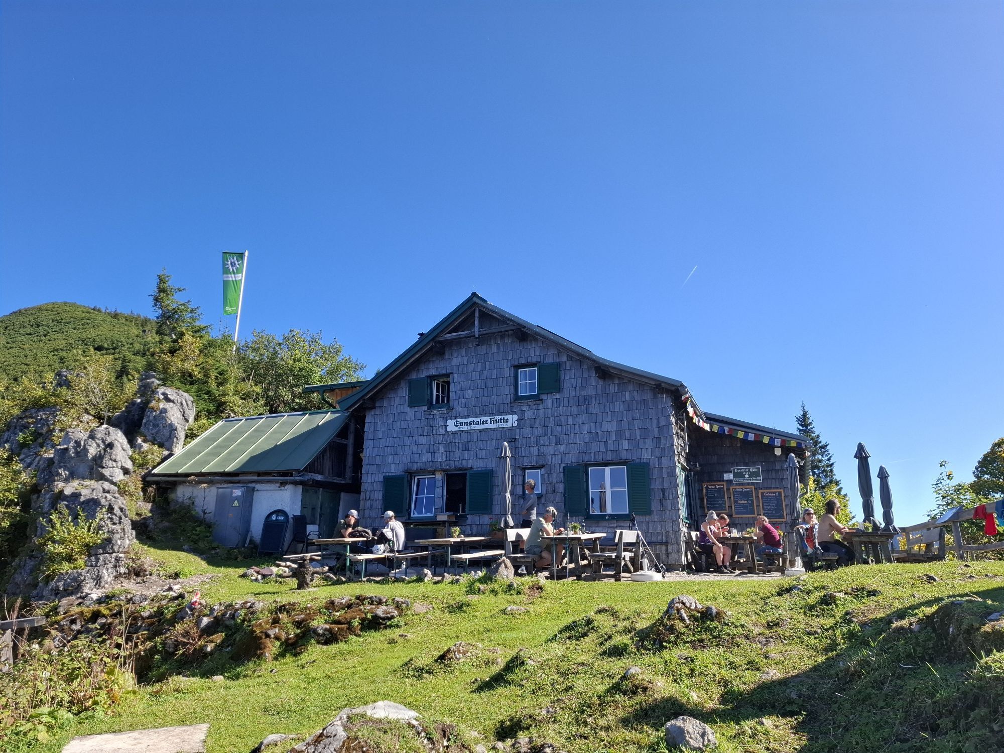
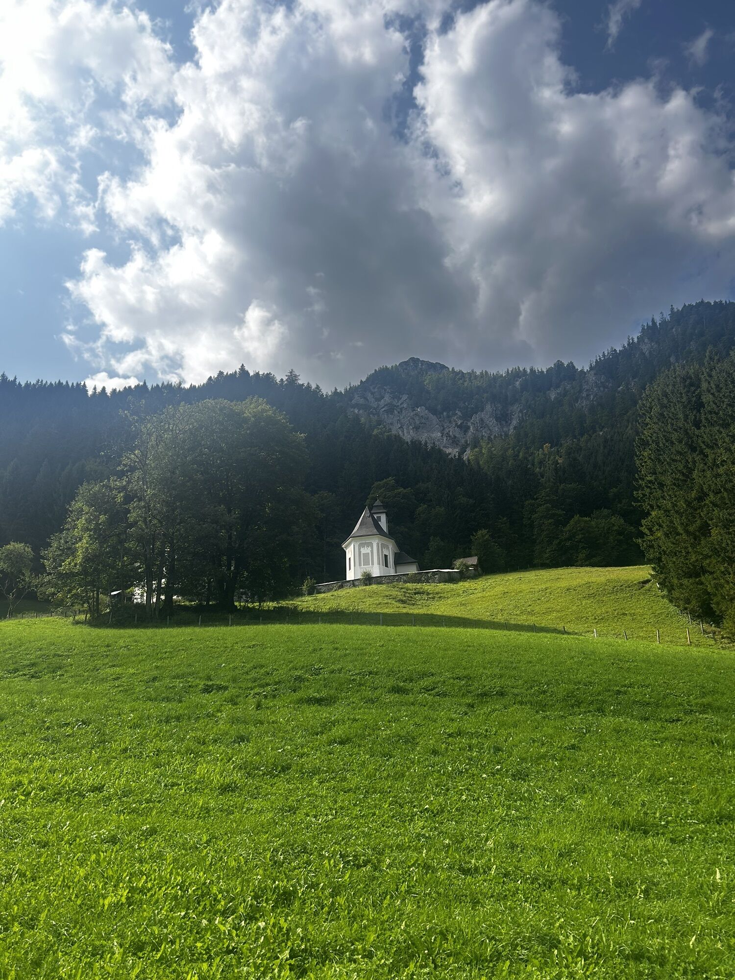
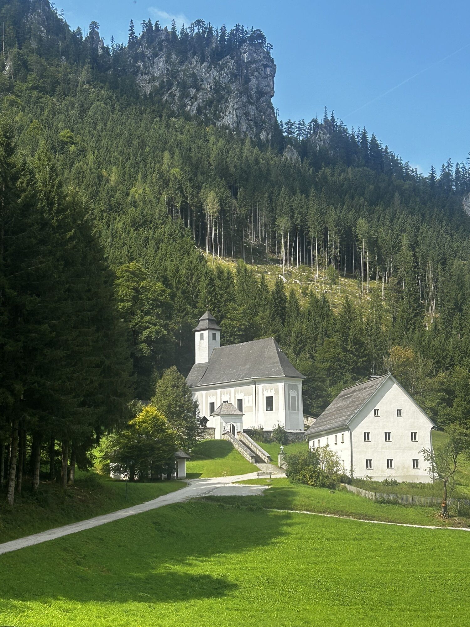
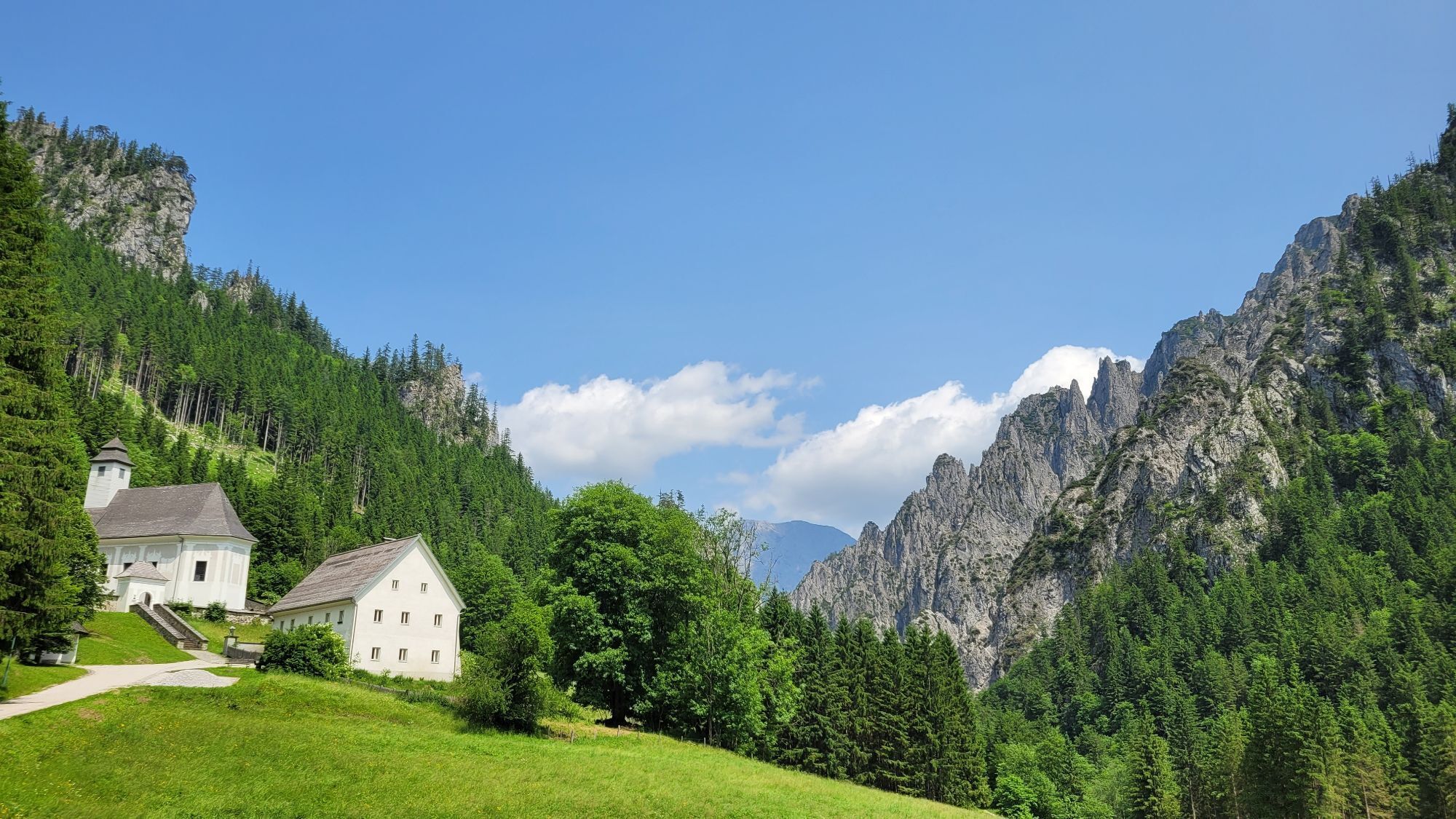
The ascent to the Ennstalerhütte begins directly in Gstatterboden, where you have to climb 1000 meters in altitude. After an hour's walk past the Hubertus Chapel, you reach the Kroiss'n junction. Here you follow the left-hand direct trail no. 646/608 via the Hörandalm and the Butterbründl to the Landlereck trail junction on the saddle just below the Ennstalerhütte. This is the oldest mountain hut in the Gesäuse and offers a wonderful view of the surrounding mountains. Above all, the impressive peaks of the Hochtor chain stand before you like a string of pearls.
You should also be well equipped for changeable weather.
Packing your rucksack correctly makes things a lot easier: pack heavy items first. The water bottle should always be within easy reach in a side pocket. All items that are often needed, such as sunglasses, smartphone or hiking map, should be on top.
Emergency call mountain rescue: 140
T2
Trail Angels GmbH
Obervellach 15, 9821 Obervellach
Tel.: +43 47 82 93 093
bookyourtrail.com
Info point Lower Austria:
Mostviertel Tourismus
Töpperschloss Neubruck
Neubruck 2/10, 3270 Scheibbs
Tel.: +43 (0)7482/204 44
info@mostviertel.at
Info point Upper Austria:
Alpenland Tourismus GmbH
Bahnhofstraße 2, 4580 Windischgarsten
Info office: Reichraming
Tel.: +43 7252 53229-40
reichraming@360alpenland.com
alpenland@360.com
Information office Styria:
Tourismusverband Gesäuse
Hauptstraße 35, 8911 Admont, Austria
Tel. +43 (0) 3613 21160 10
info@gesaeuse.at
www.gesaeuse.at
It is recommended to contact the Trail Info & Booking Center before booking.
Offers at: bookyourtrail.com
Uzyskaj wgląd
Zawsze na żywo z ponad 9 500 kamer internetowych. bergfex Jako użytkownik Pro, możesz teraz zobaczyć odpowiednie kamery internetowe dla wielu wycieczek w aplikacji wycieczki od. Pozwala to na bezpośredni podgląd aktualnych warunków.



Popularne wycieczki w okolicy
-
4,2
Gstatterboden: Tamischbachturm
Wędrówka 8,23 km -
4,2
Gstatterboden: Gr. Buchstein auf dem Normalweg
Wędrówka 15 km -
4,8
Hesshütte
średniWędrówka 6,21 km -
4,8
Ennstalerhütte Normalweg
średniWędrówka 14,9 km -
4,7
Kaiserau - Klinkehütte - Lahngangkogel - Wagenbänkalm
średniWędrówka 9,57 km -
4,7
Von Johnsbach zur Mödlingerhütte zum Heldenkreuz
średniWędrówka 11,9 km -
4,6
Natterriegel über Mittagskogel
ciężkiWędrówka 14,6 km -
4,6
Über die Gsengscharte auf die Haindlkarhütte
średniWędrówka 8,38 km -
4,6
Über den Wasserfallweg auf die Planspitze und über die Hesshütte hinunter nach Johnsbach
ciężkiTrasa tematyczna 14,1 km -
4,8
Wald am Schoberpass: Leobner
Wędrówka 16,2 km
Wędrówki i tropienie


Nie przegap ofert i inspiracji na następne wakacje
Twój adres e-mail została dodana do listy mailingowej.





