







Great Lachtal - 5 summit hike

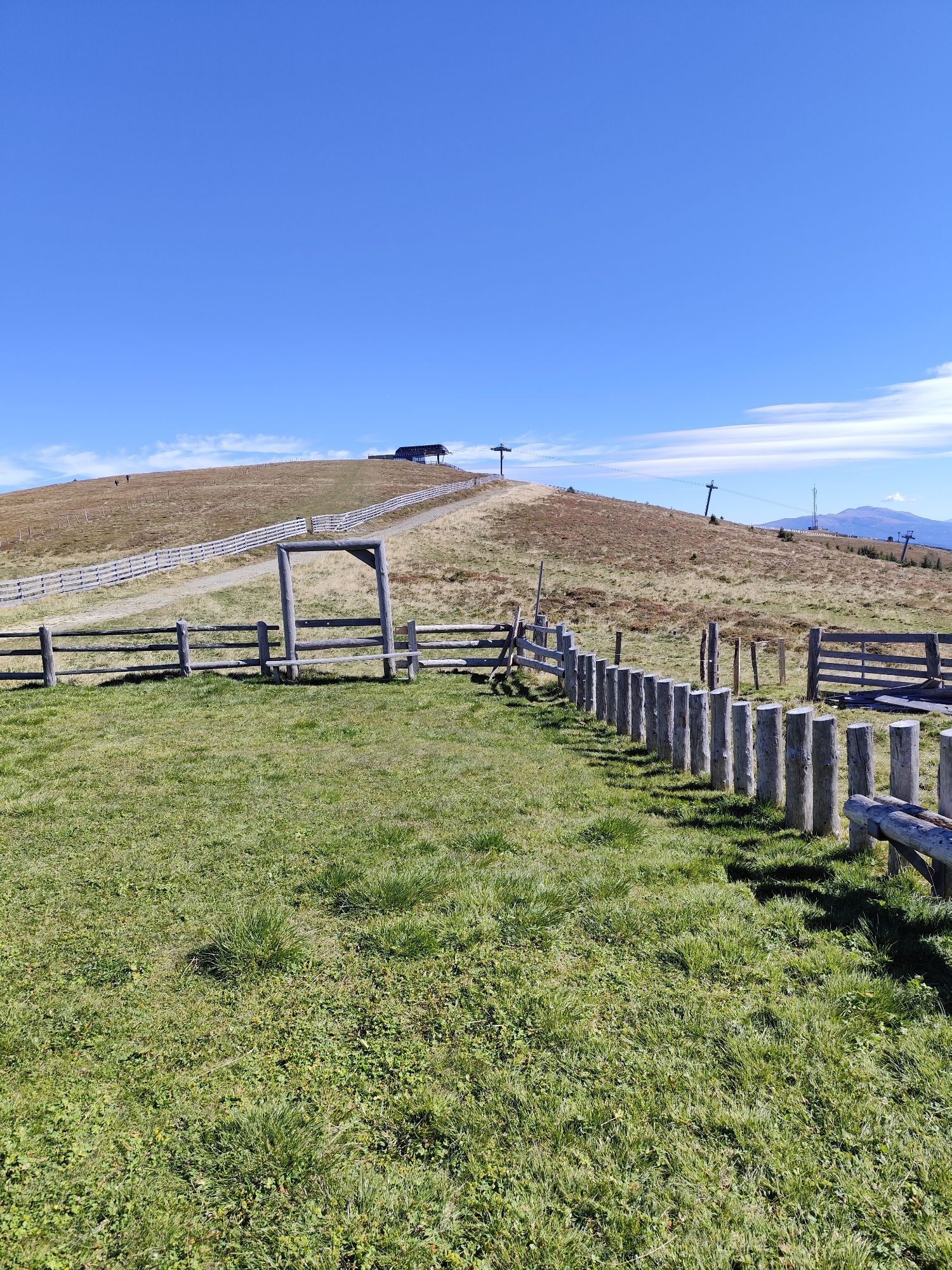
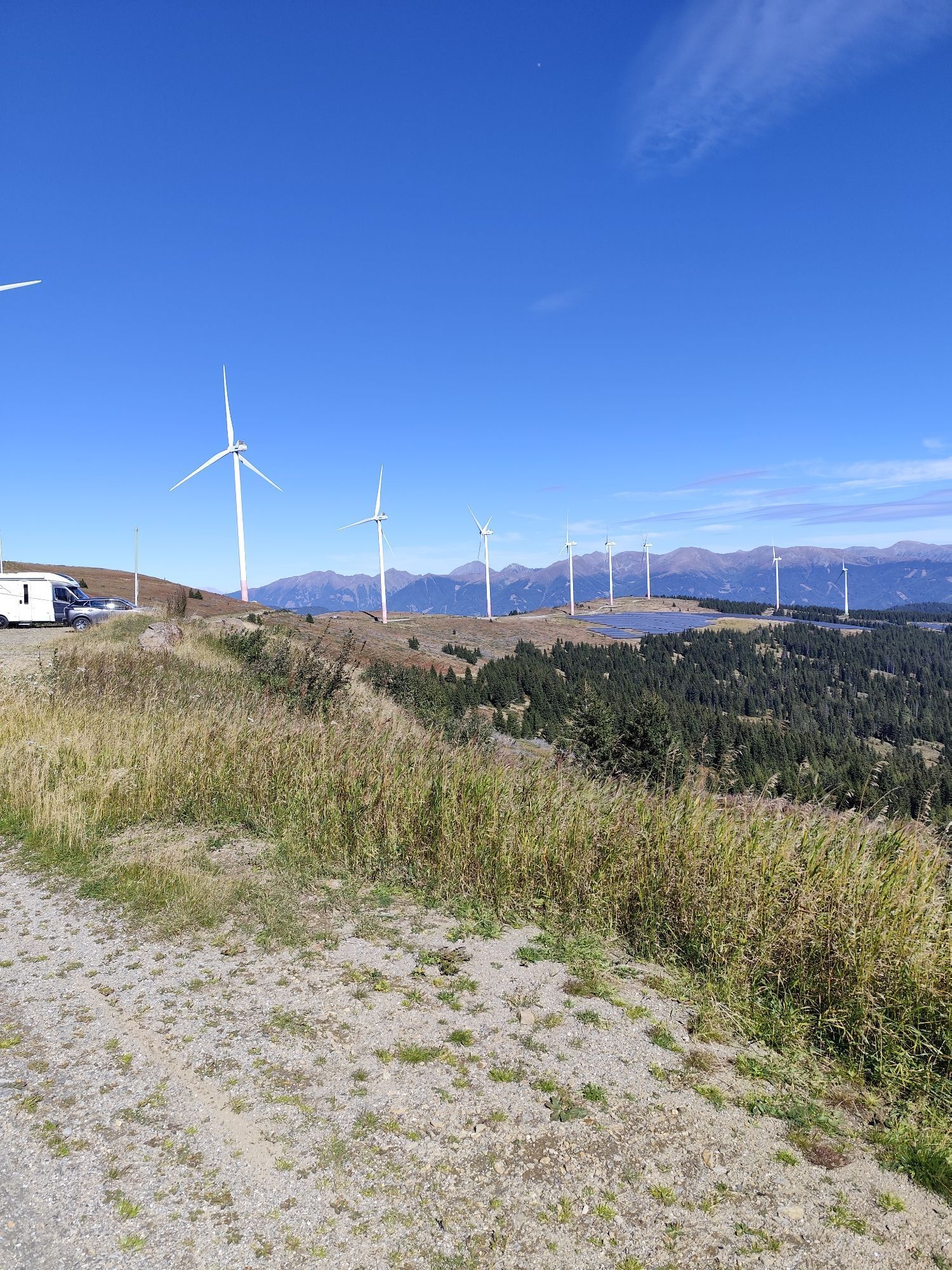
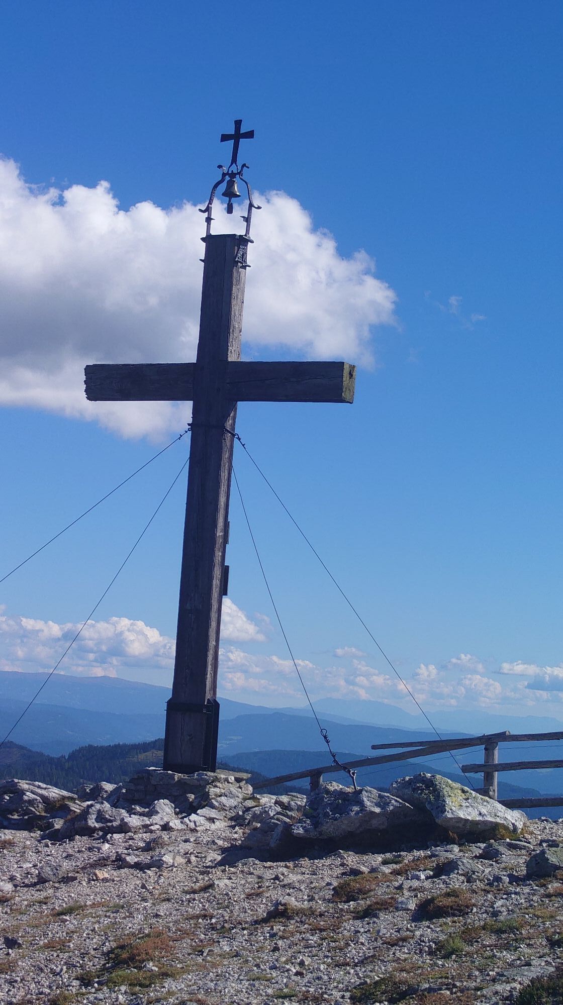
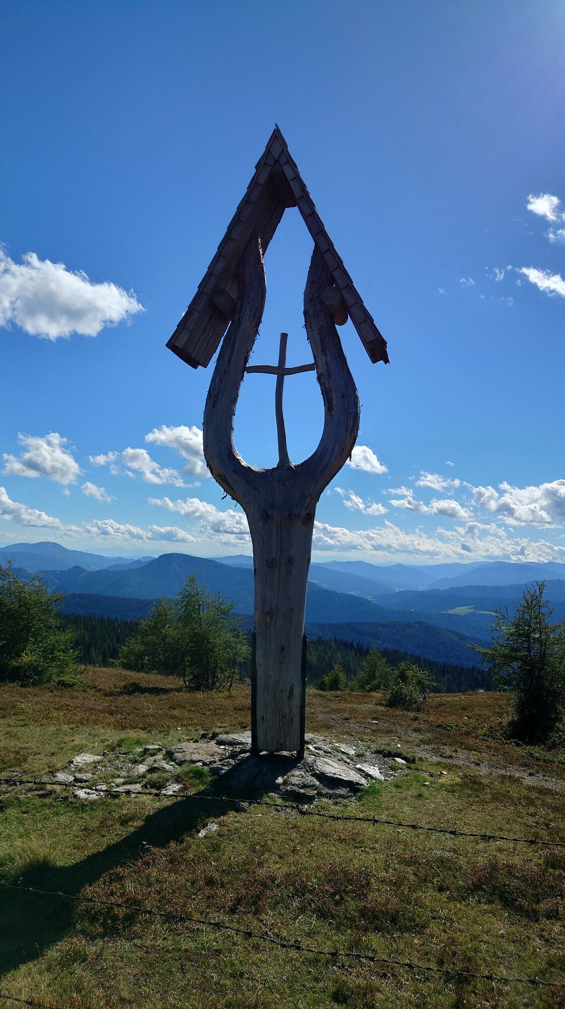


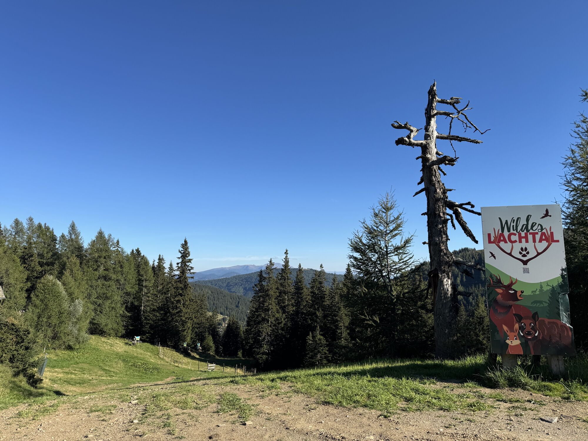


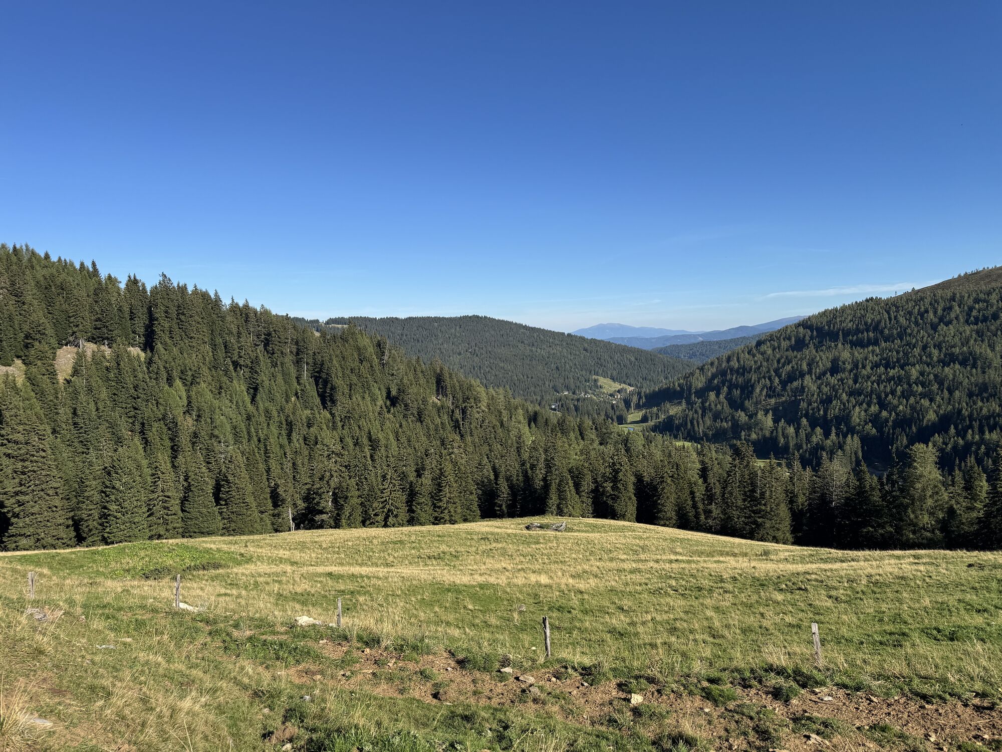
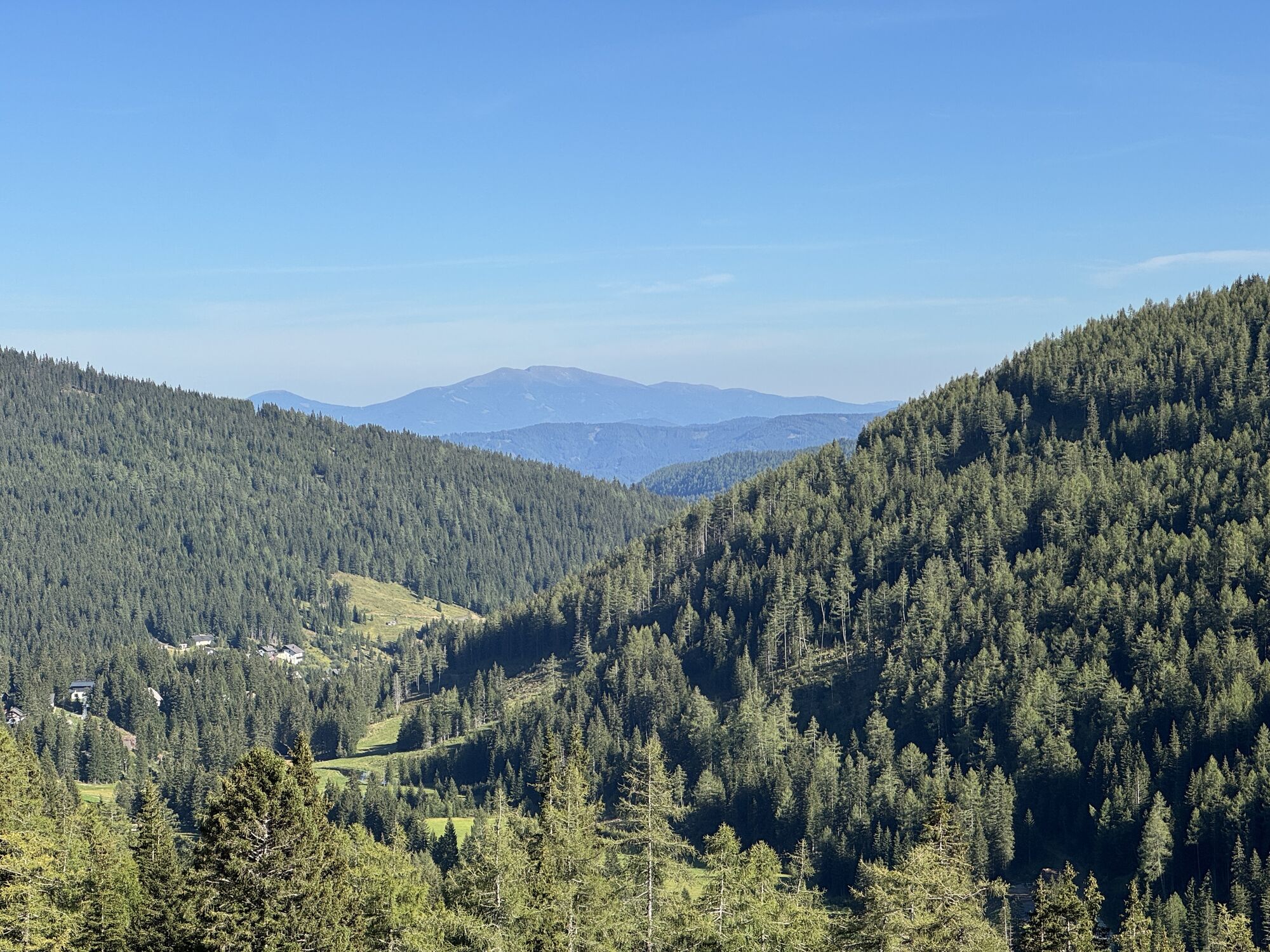


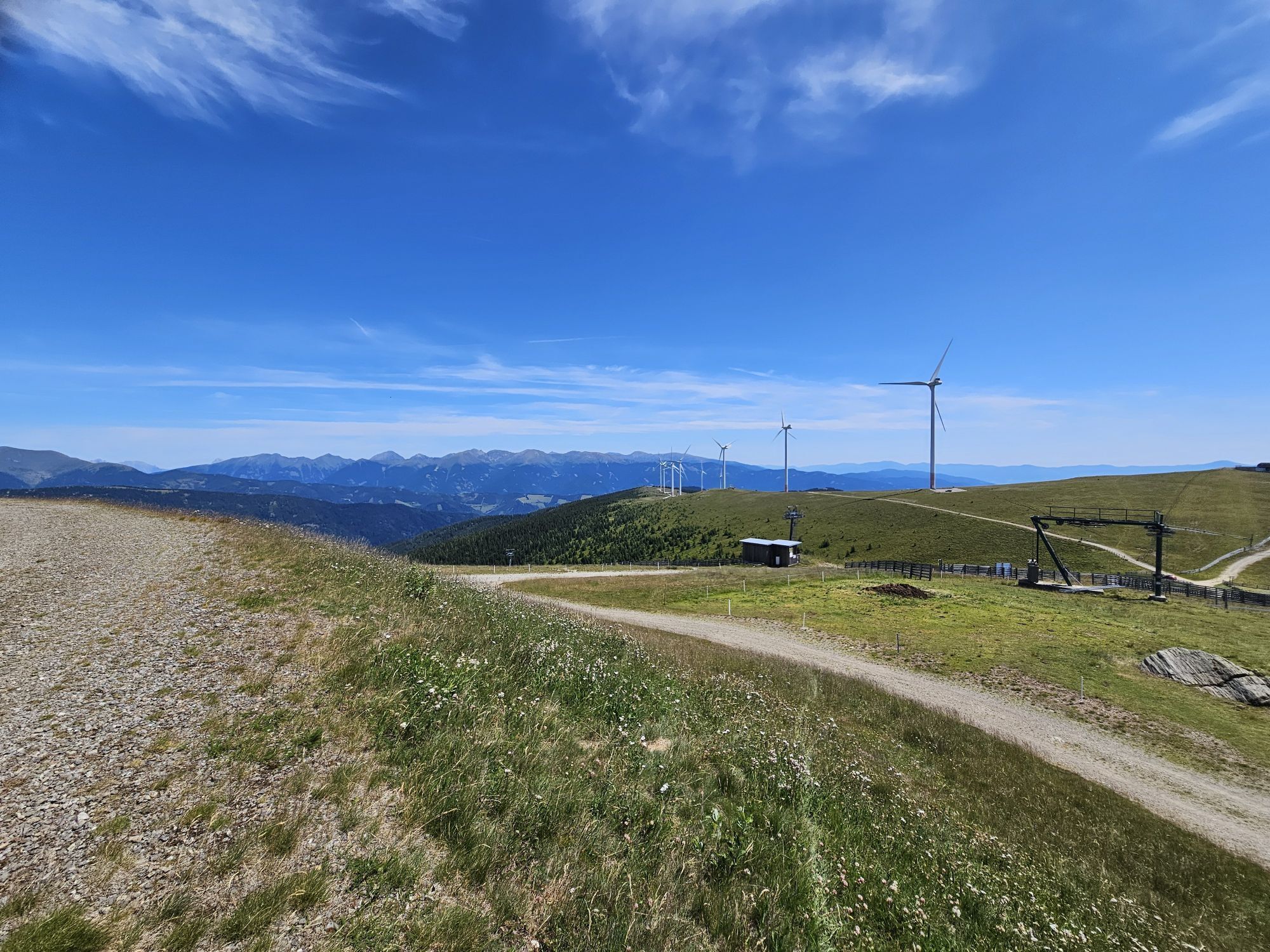
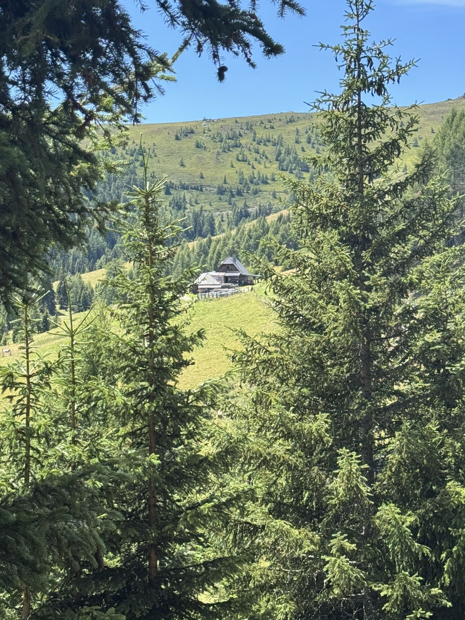
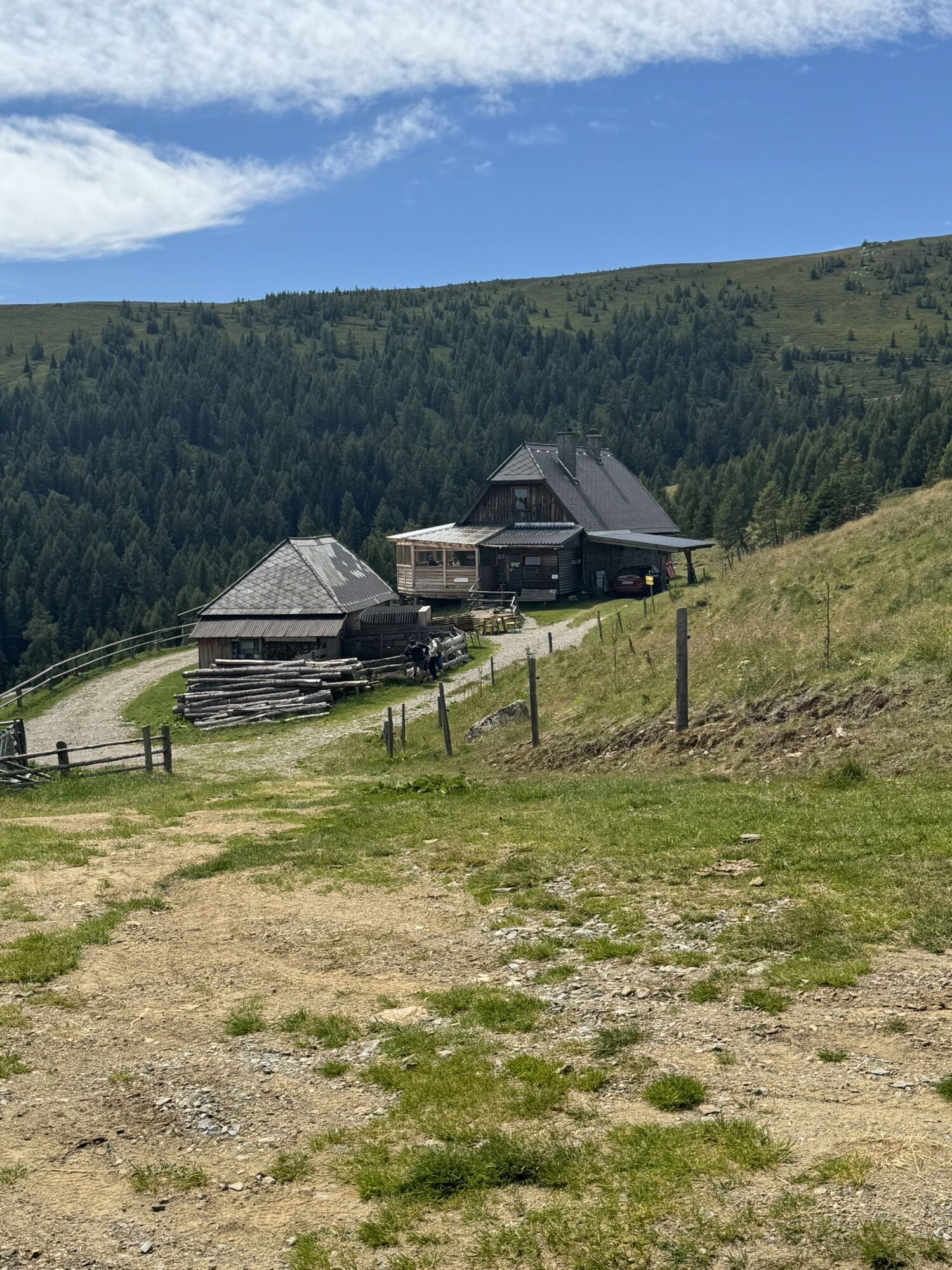
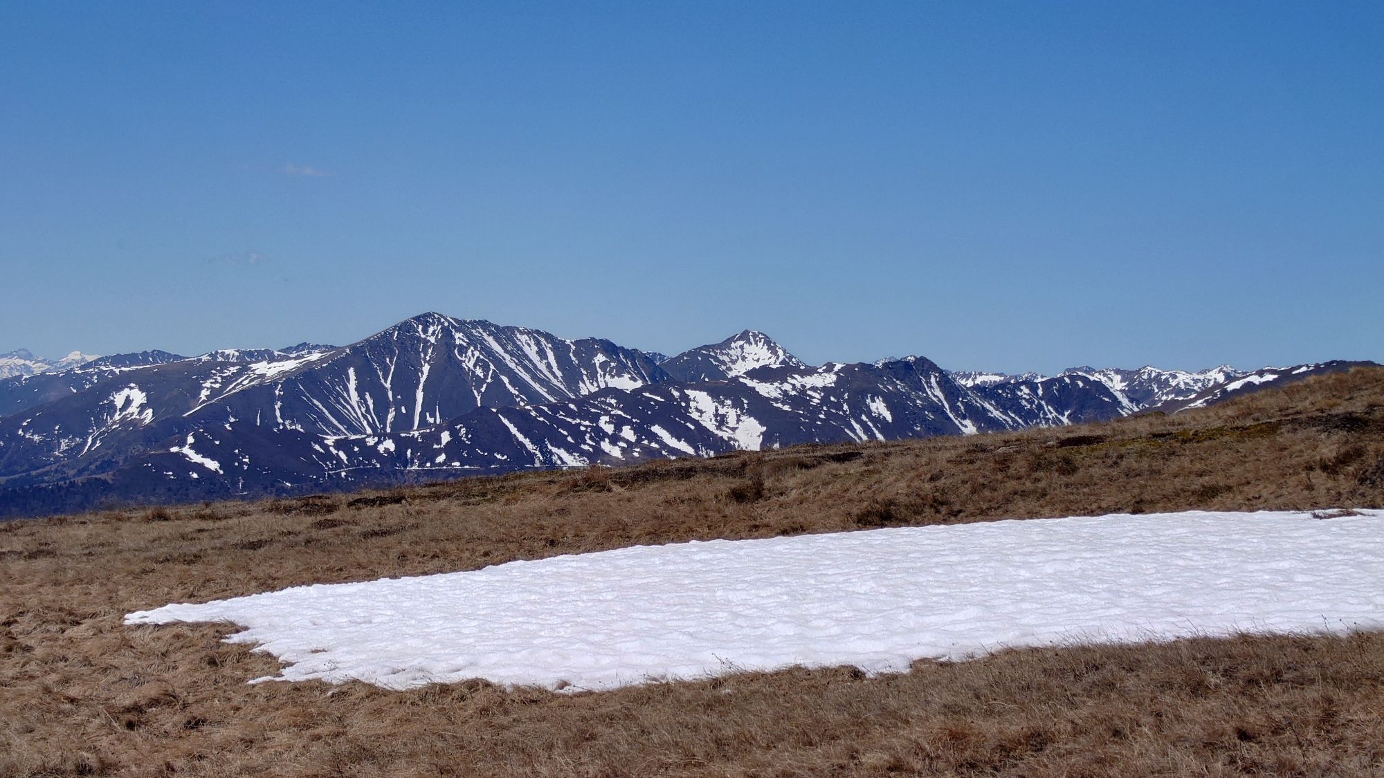
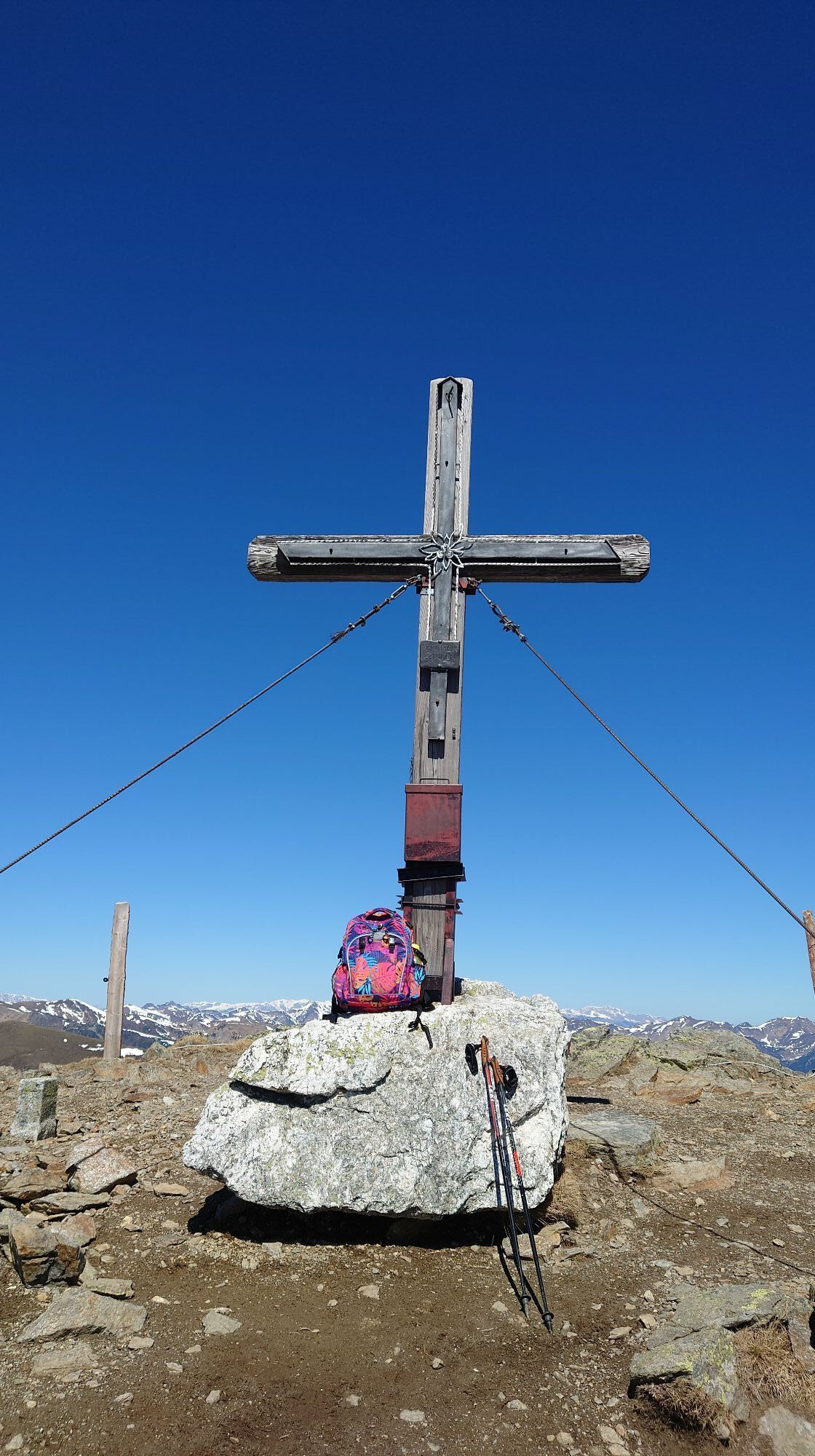
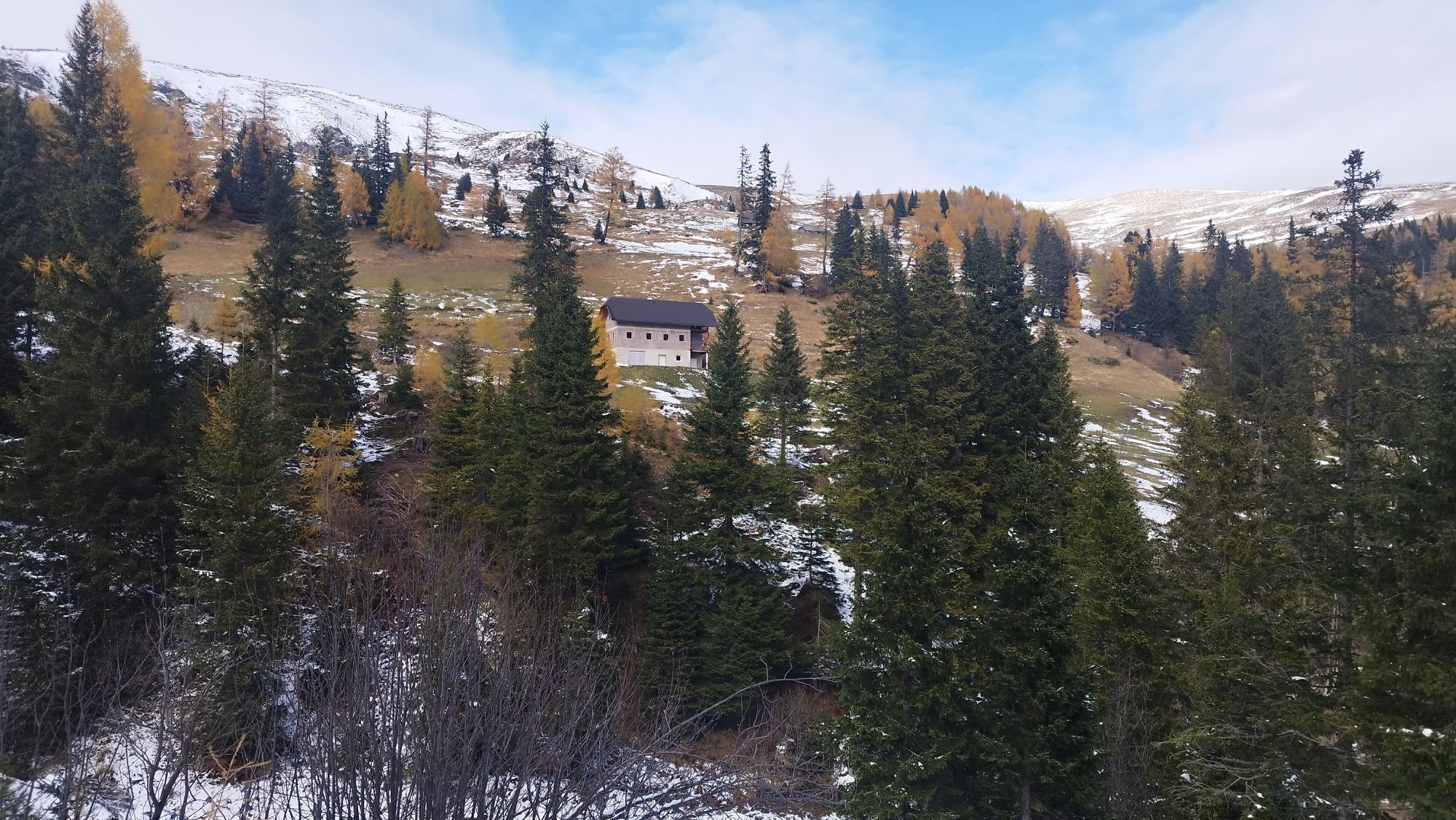

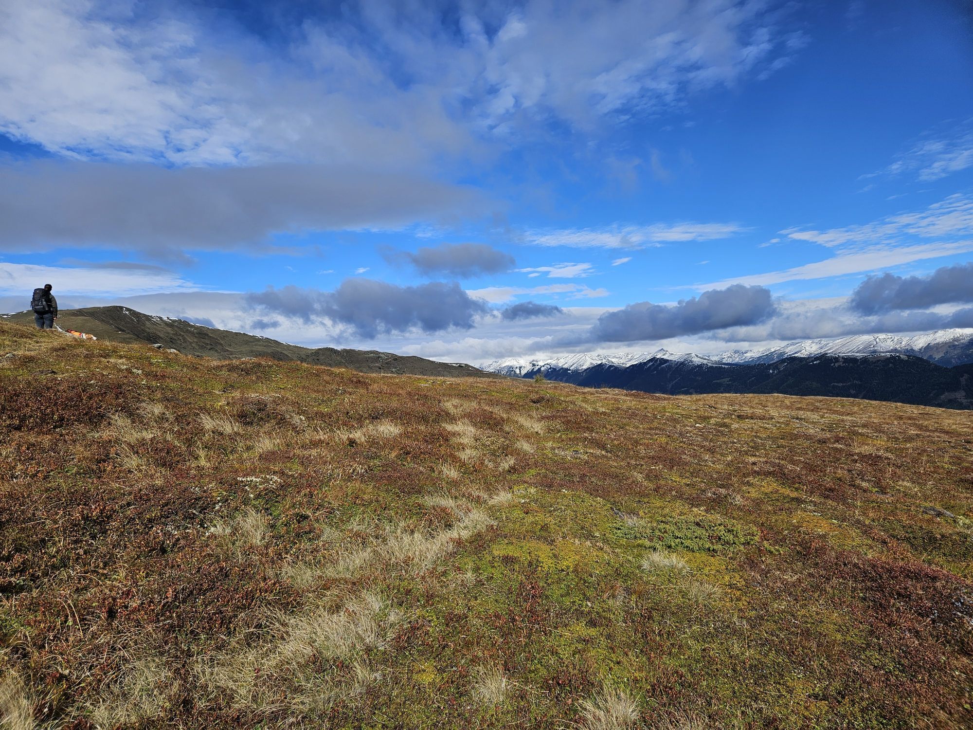
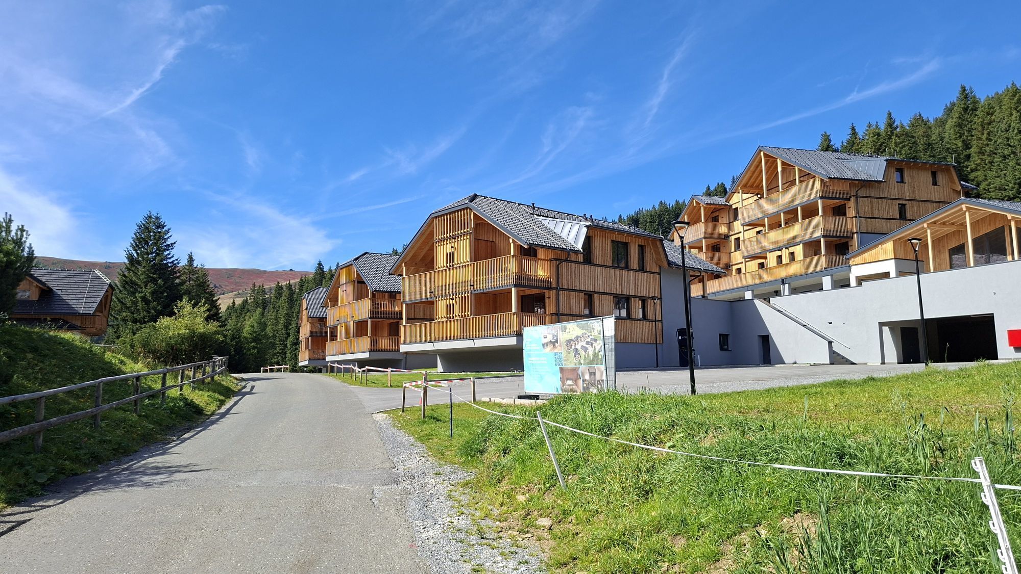
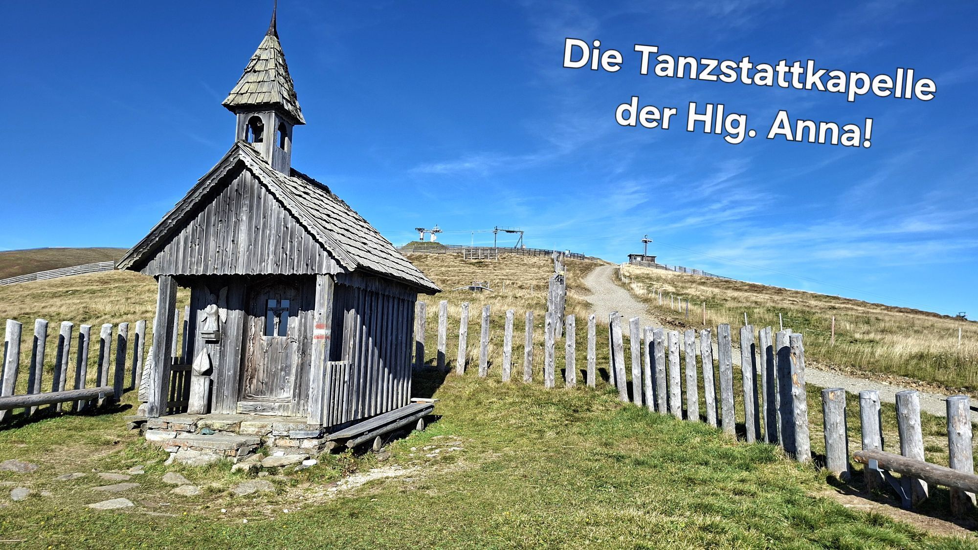

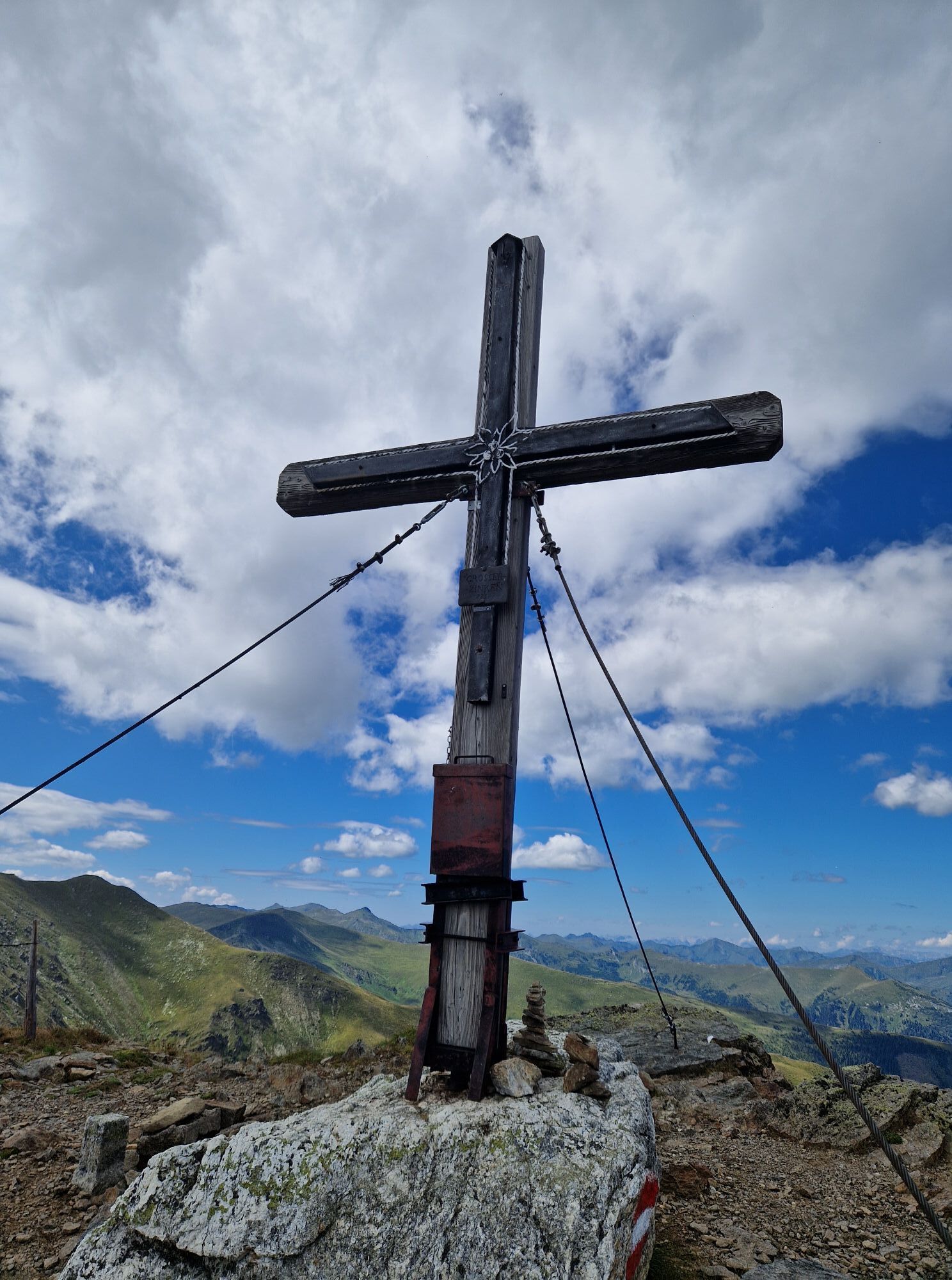
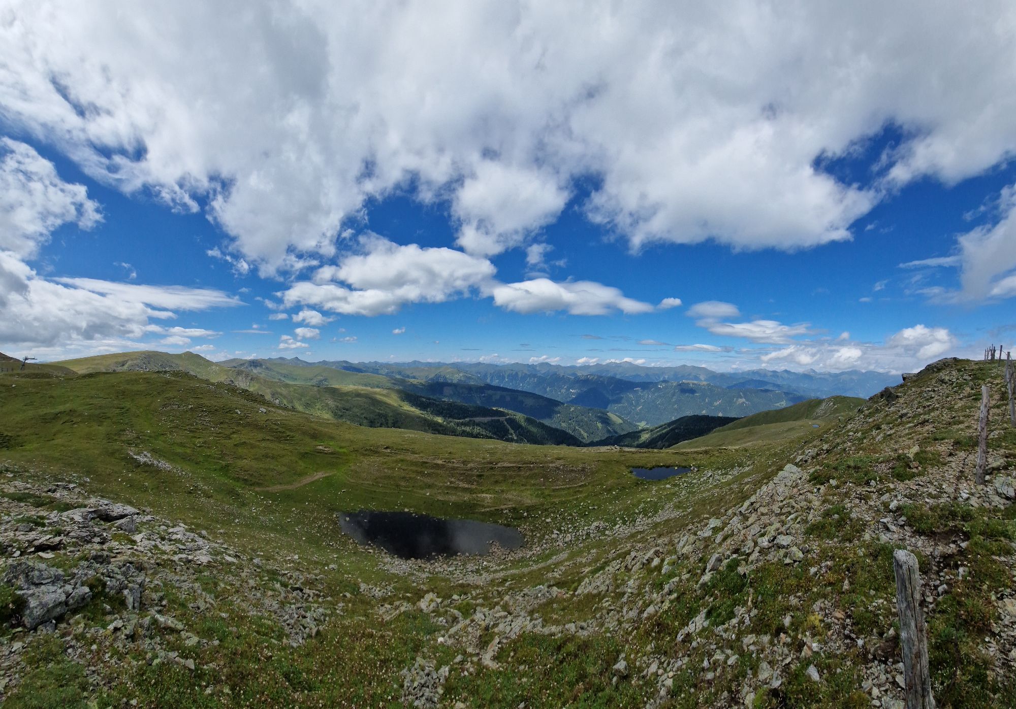
From the parking lot of the Lachtal - 6er chairlift (information board). You hike along the marked forest path via the Hirzmannalm to the Klosterneuburger Hütte. You reach the Schönbergkopf (1,943 m),...
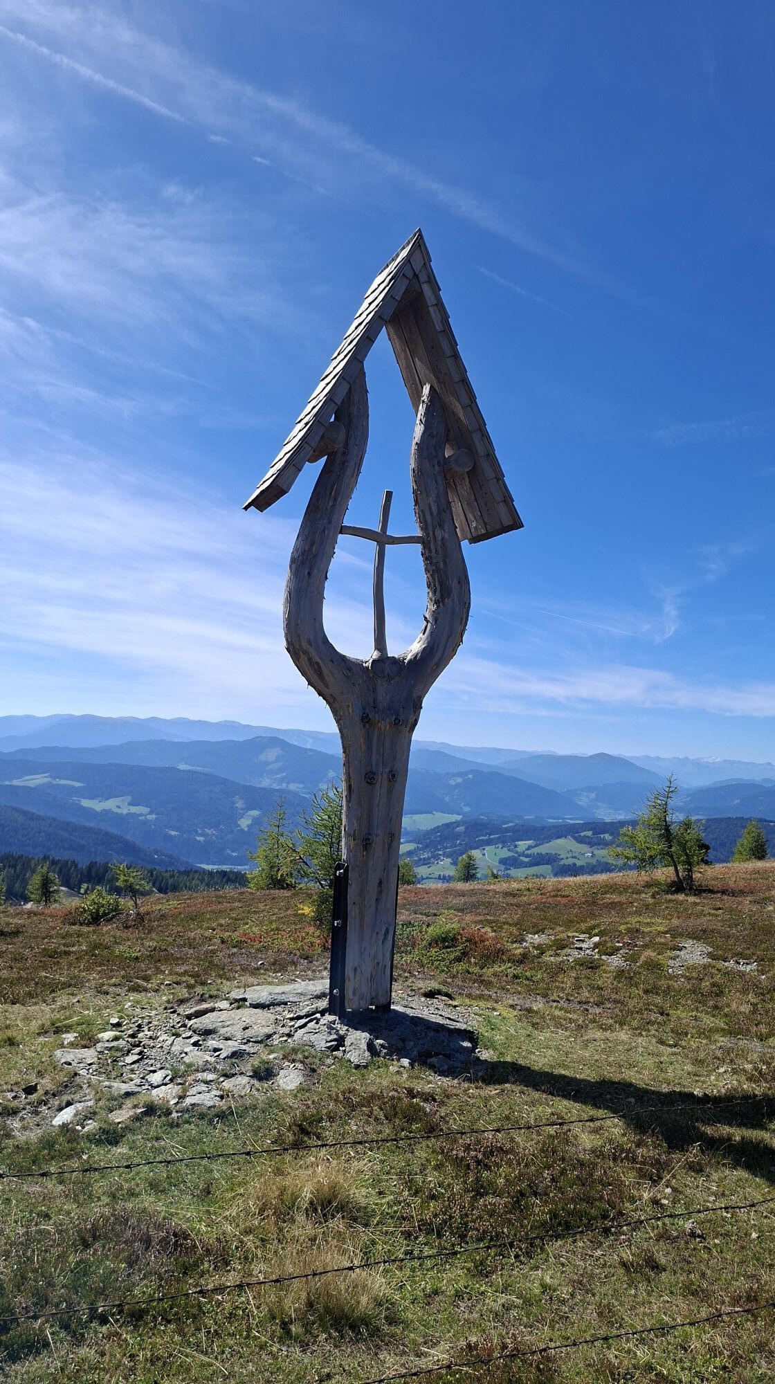
From the parking lot of the Lachtal - 6er chairlift (information board). You hike along the marked forest path via the Hirzmannalm to the Klosterneuburger Hütte. You reach the Schönbergkopf (1,943 m), the marked path 958 leads to the Tanzstattkircherl.
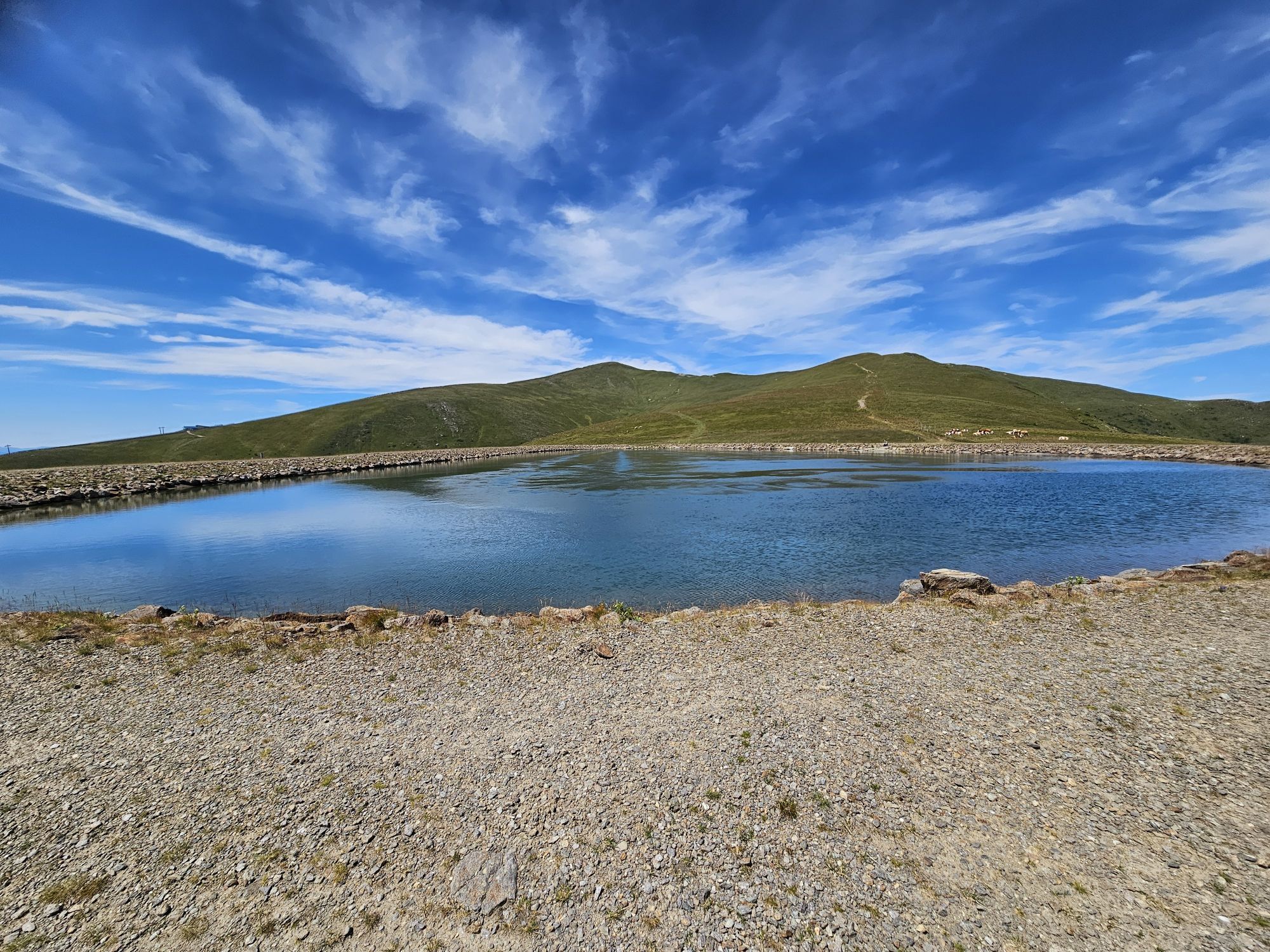
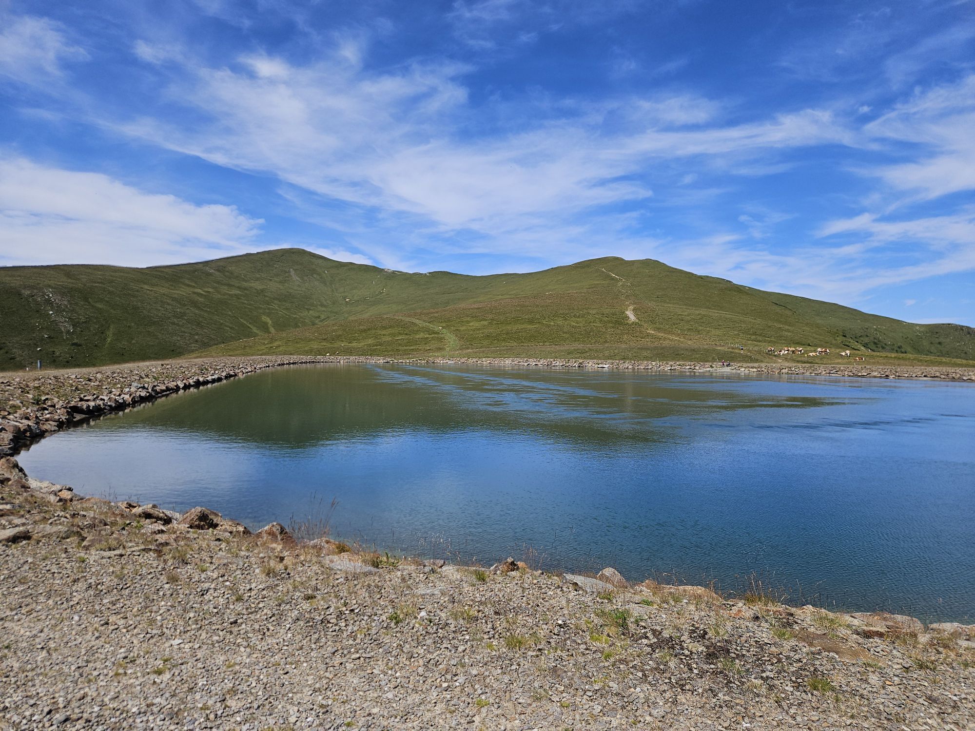
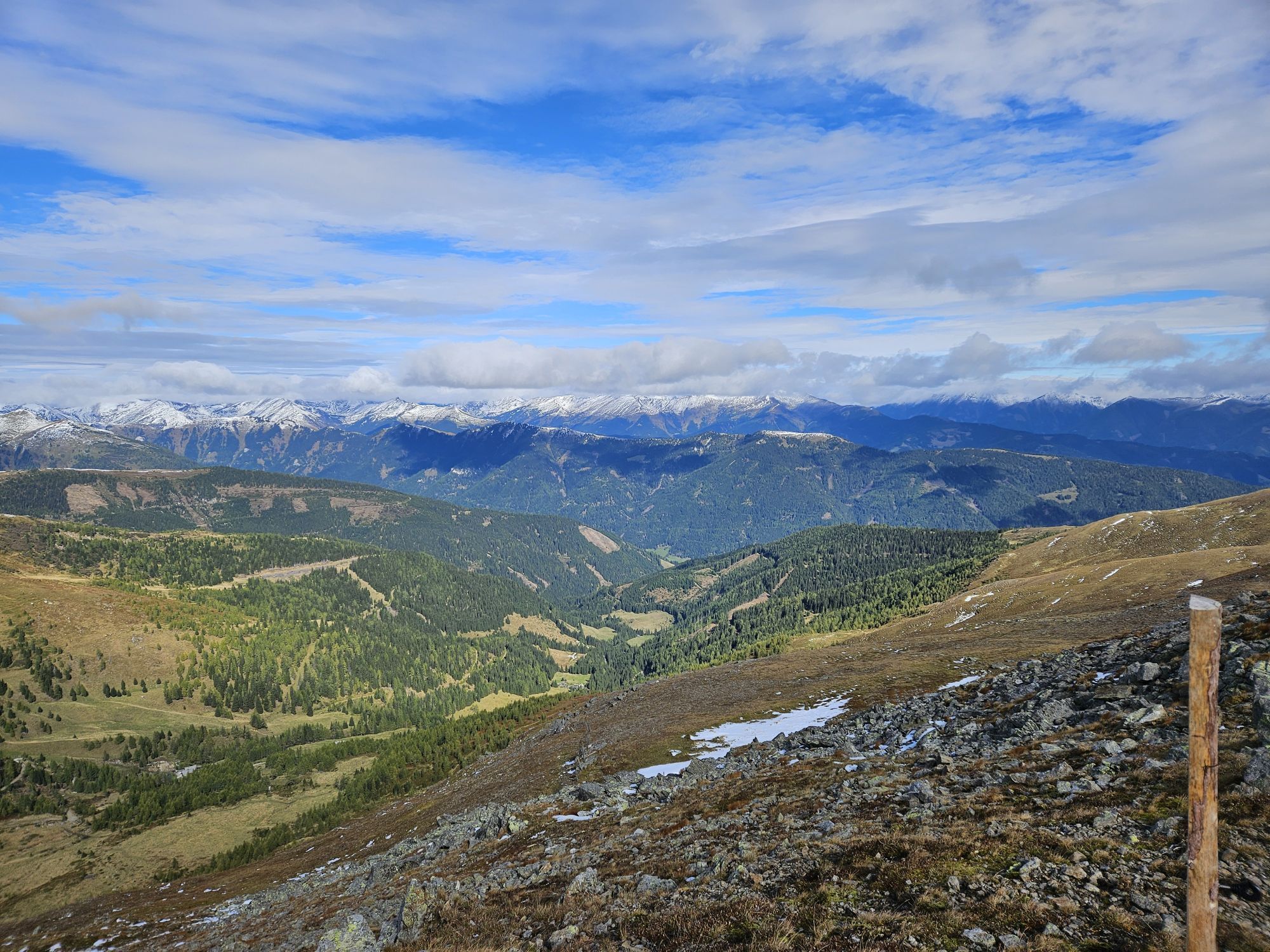
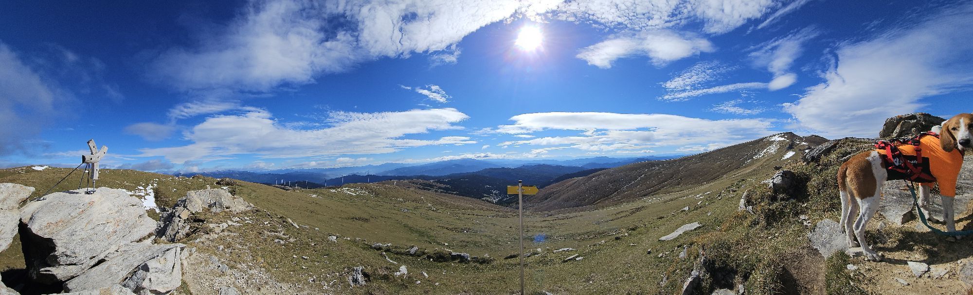
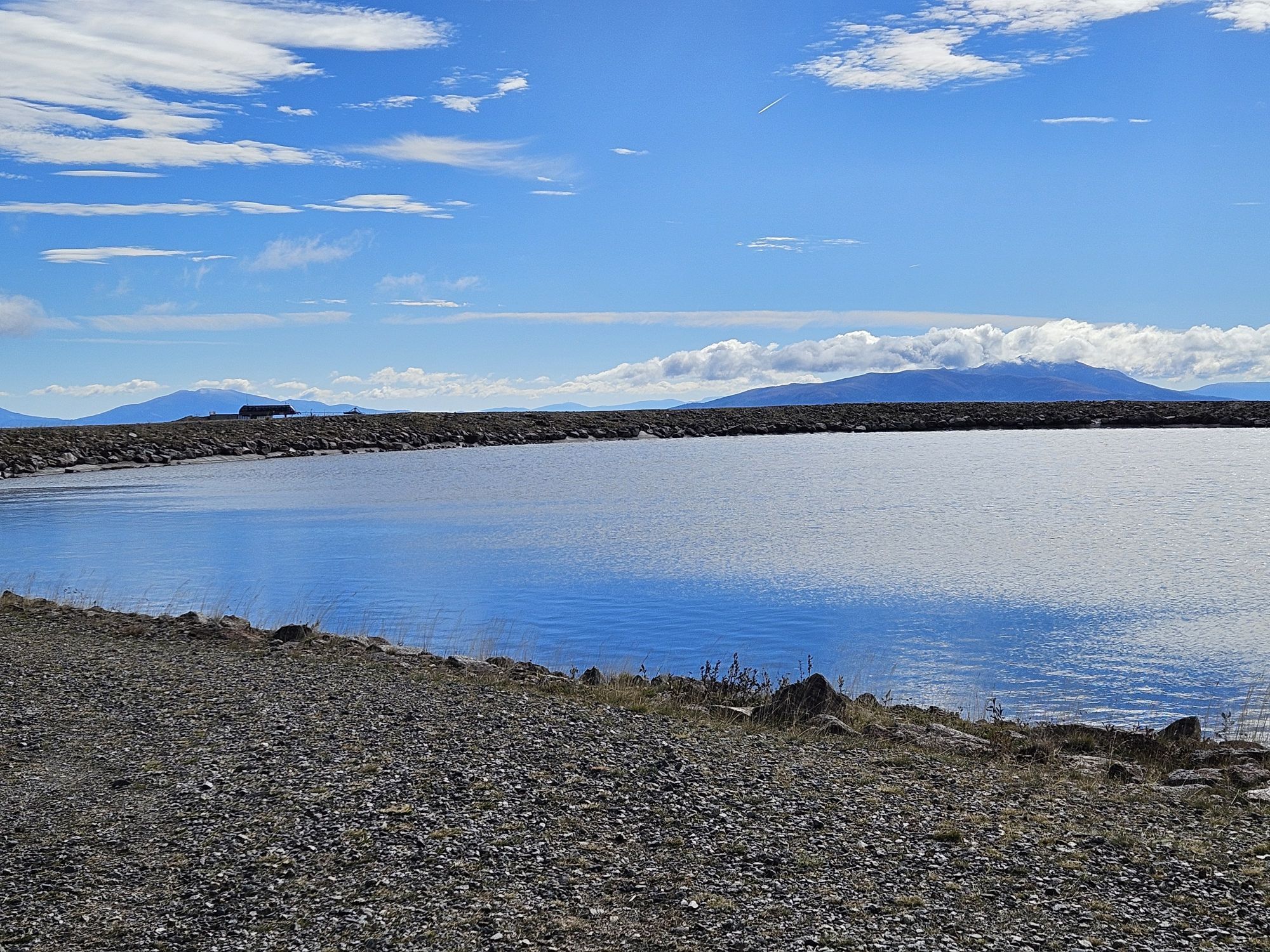
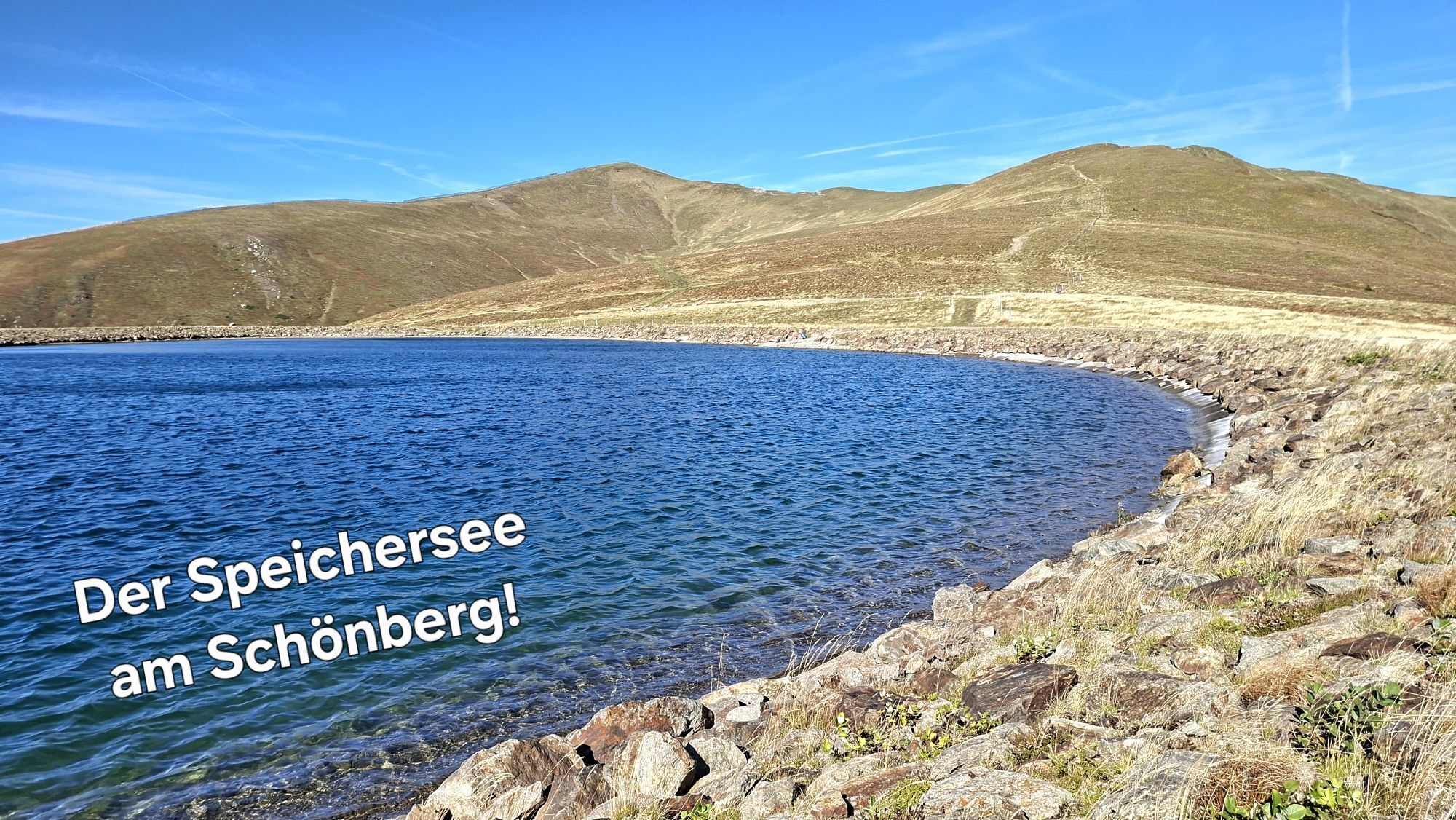
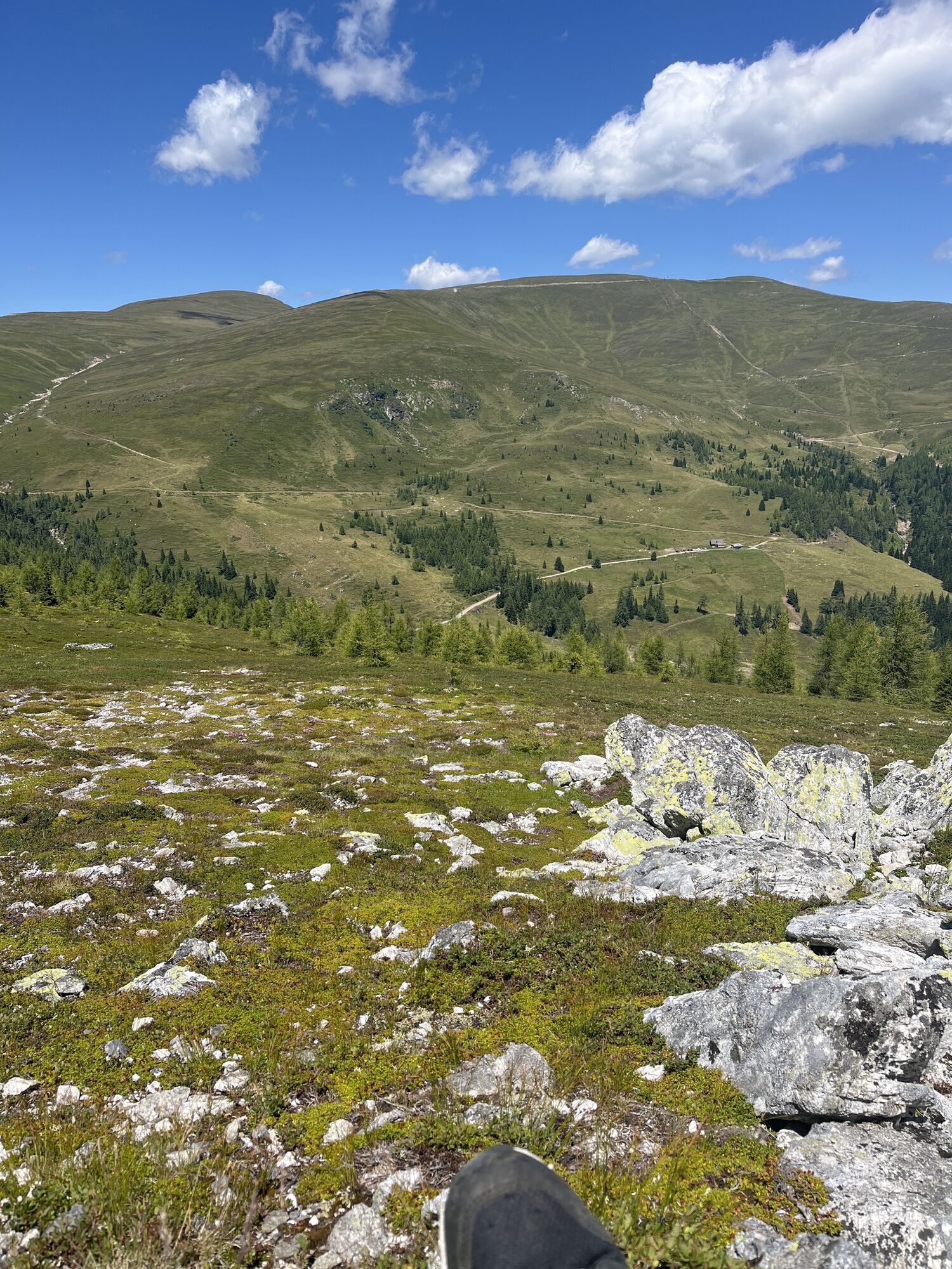
You continue hiking past the Tanzstatt lake. Along the ridge you will reach the Kleiner Zinken (2,212m) and the Hoher Zinken (2,222 m). Along the main ridge on trail 956 you reach the Schießeck (2,275m).
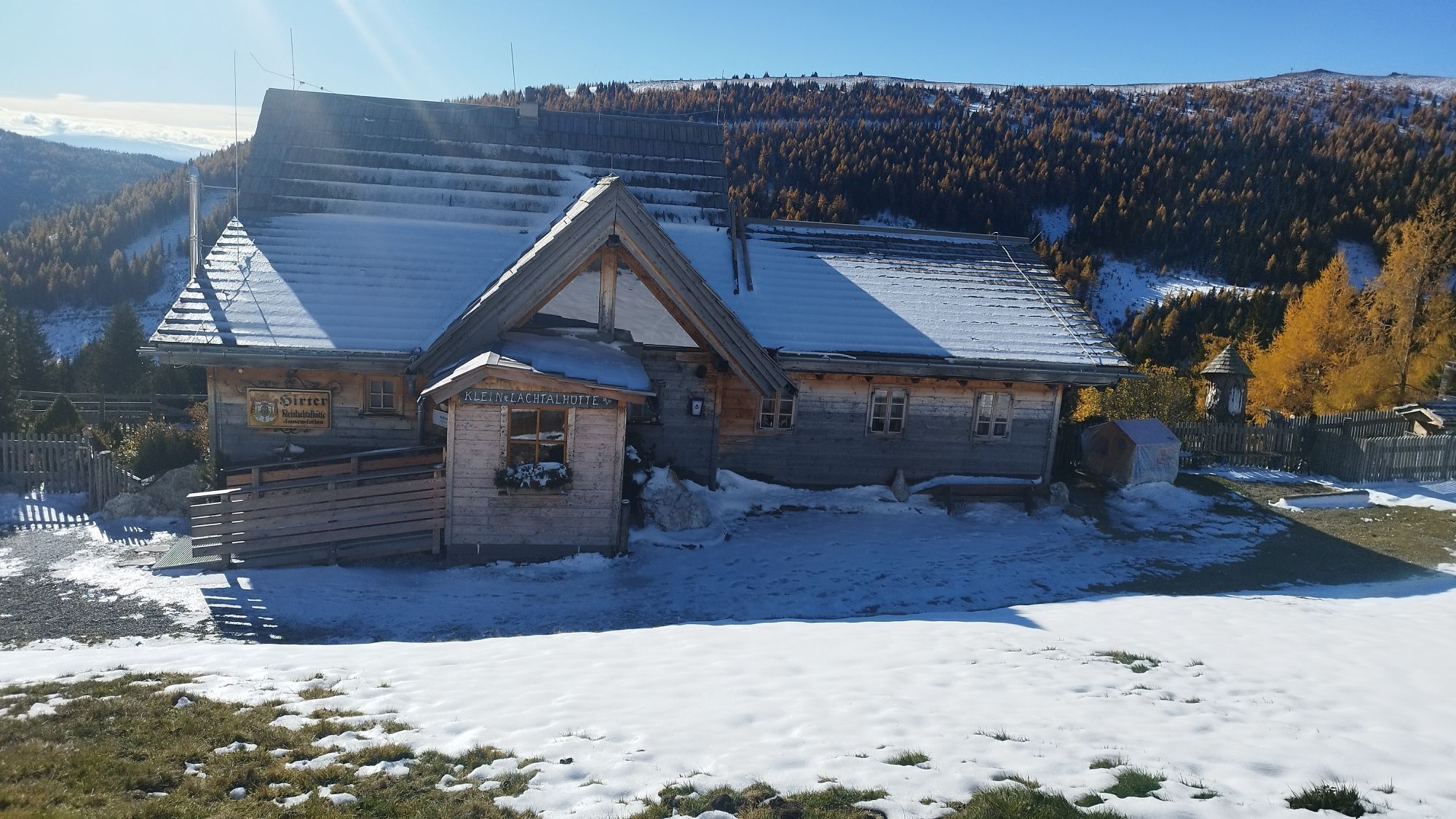
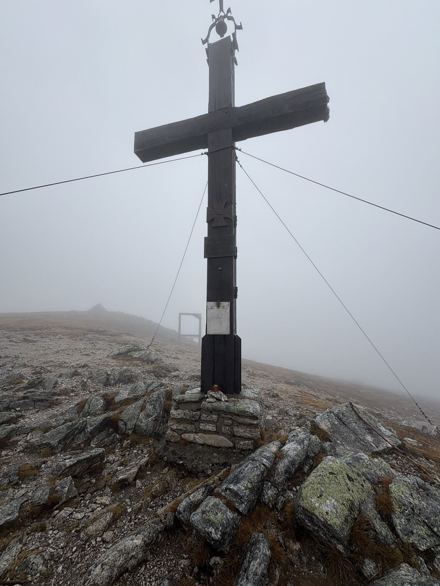
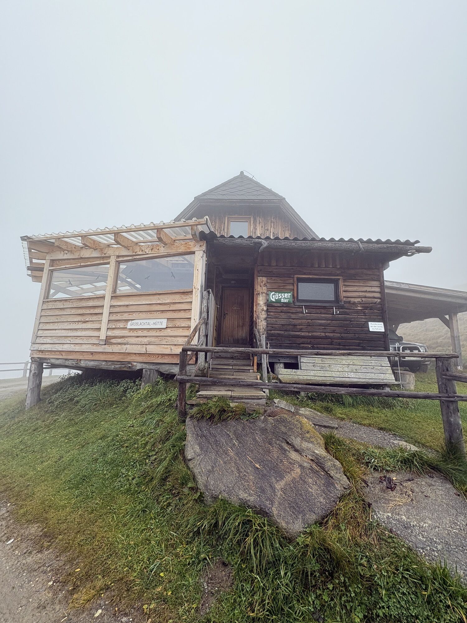
You follow the ridge over the Knappenstein along to the Roßalpenkreuz (1,894 m). Via the Großlachtalhütte further to the Kleinlachtalhütte and Heberthütte you reach the starting point again.


Großlachtalhütte, Kleinlachtalhütte, Heberthütte, Jagdhaus (Monarchia Park)
Tak
Tak





Popularne wycieczki w okolicy
- 4,8
Talkenschrein
średniWędrówka 8,48 km - 4,6
Greim-Gipfelrunde
średniWędrówka 8,30 km - 4,6
Greim
średniWędrówka 6,12 km - 4,6
Wölzer Tauern - Hühnerkogel 2.242m - der Sonne entgegen
średniWycieczka narciarska 15 km - 4,8
Talkenschrein -Neunkirchner Hütte
Wędrówka 4,79 km - 4,5
3 Gipfel Tour
średniWędrówka 14,4 km - 3,8
Hut round Lachtal
światłoWędrówka 5,11 km - 5,0
Wölzer Tauern - Rettelkirchspitze 2.475m - Hike and Bike
ciężkiWycieczki górskie 19,5 km - 5,0
Lärchkaralm
światłoWędrówka 6,42 km - 4,7
Kreuzkogel über die Schwabergeralm
średniWędrówka 9,62 km
Wędrówki i tropienie


Nie przegap ofert i inspiracji na następne wakacje
Twój adres e-mail została dodana do listy mailingowej.





