





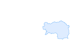

Rineggrunde

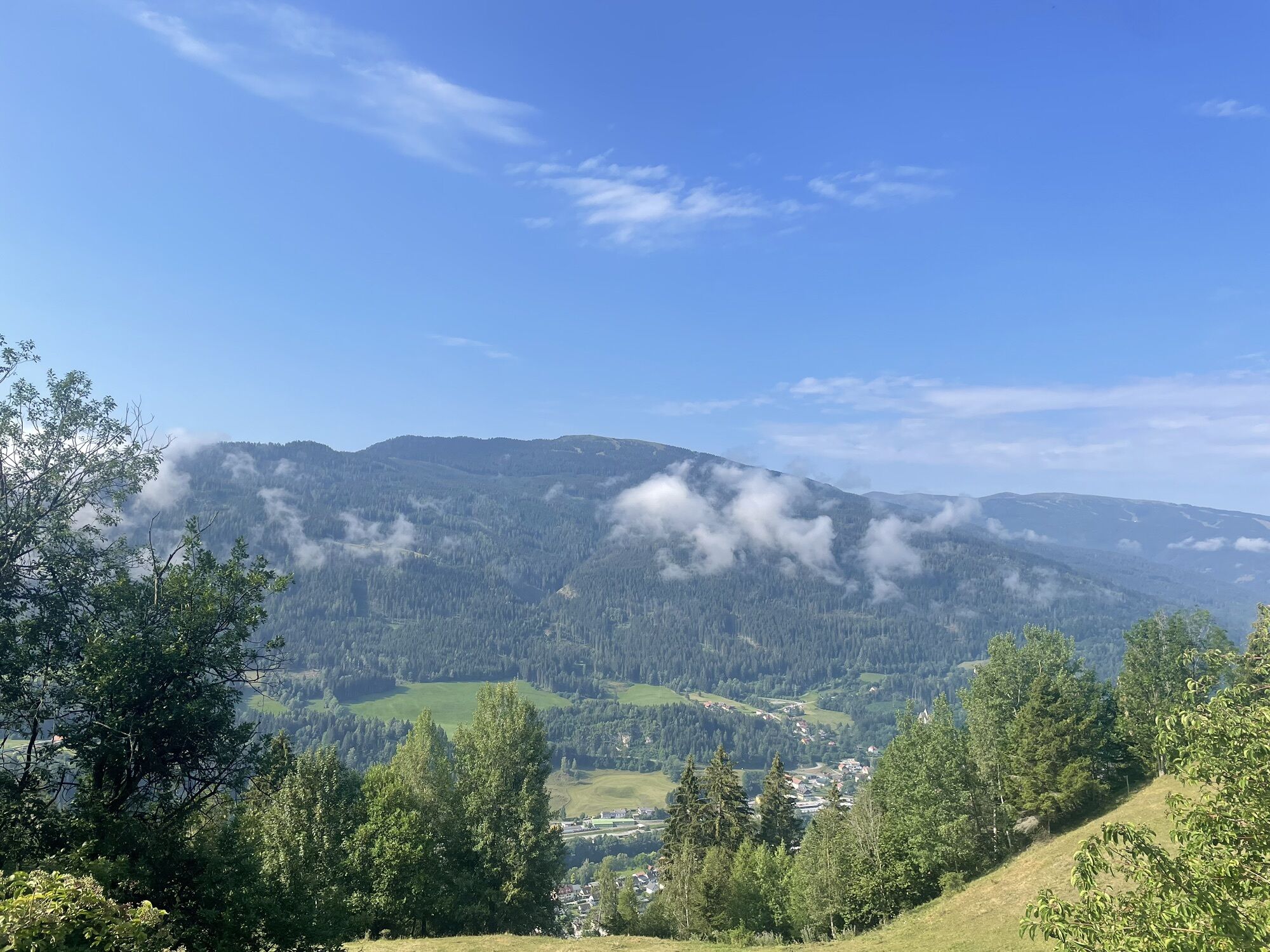
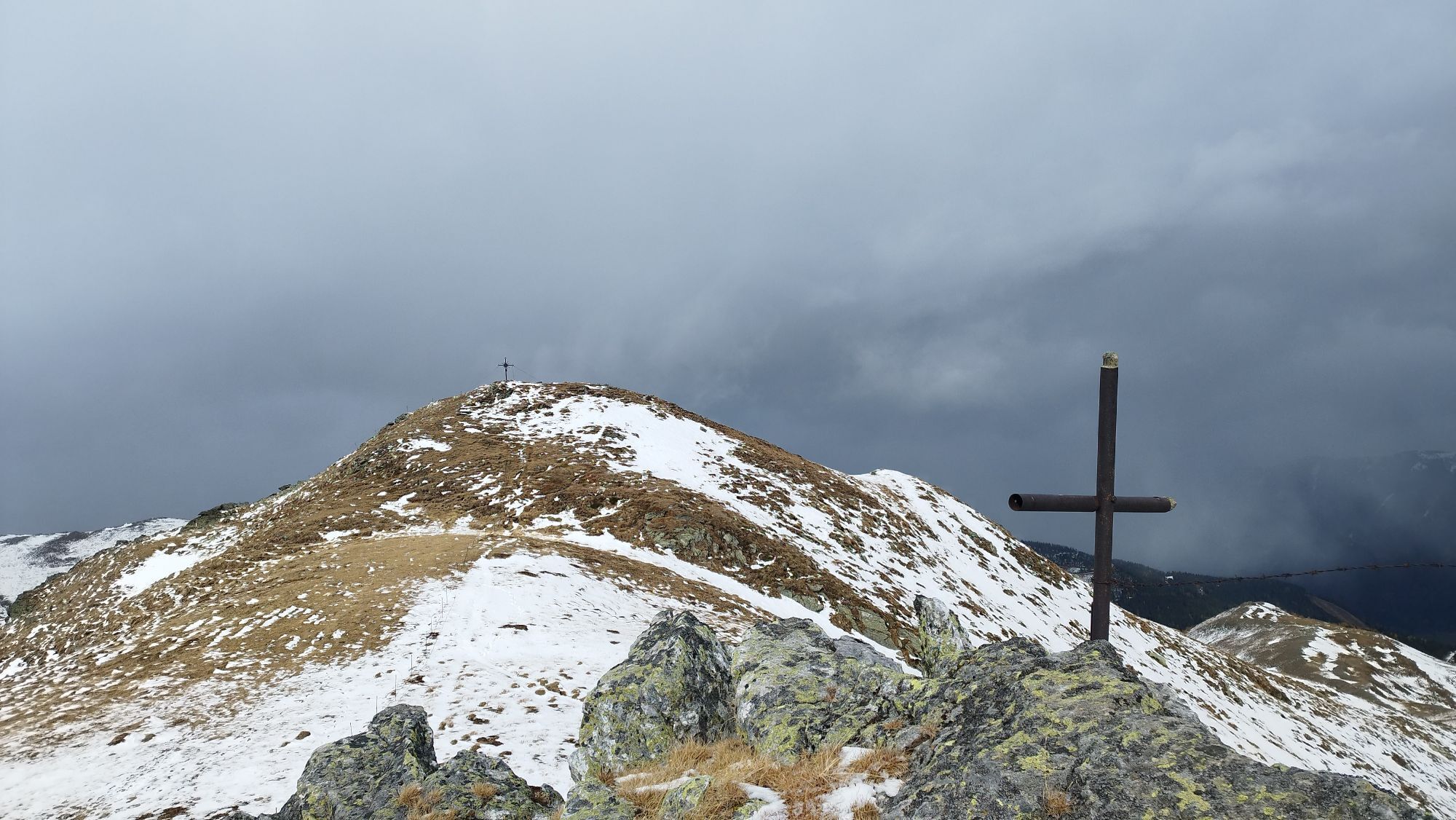
Information office Murau at the indoor swimming pool - eastwards to the traffic circle in the direction of Stolzalpe - Stolzalpenstraße to the crossroads to Rinegg - Merbachsiedlung - vlg.Perschl - vlg....
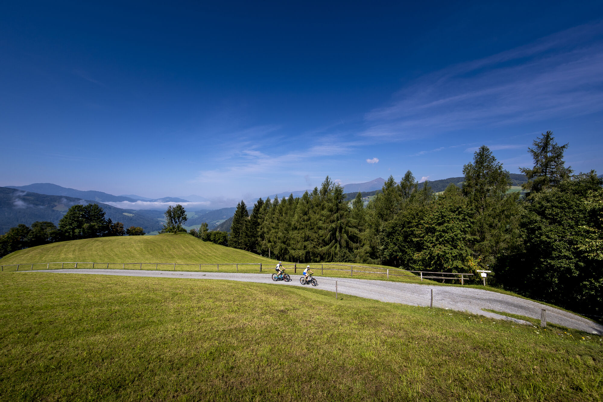
Information office Murau at the indoor swimming pool - eastwards to the traffic circle in the direction of Stolzalpe - Stolzalpenstraße to the crossroads to Rinegg - Merbachsiedlung - vlg.Perschl - vlg. Leitner - highest point of the tour 1191 m vlg. Stolz - crossroads before Rinegg beautiful viewpoint in the Rantental - Rinegg village - junction to the state road left off - 100 m to the 2nd junction, again left off in the direction of Murau - rest area at the former Humburger saw with the Waschlrad - to the Rantenradweg R 63 and this to Murau.


Tak
Tak
3/6
3/6

Popularne wycieczki w okolicy
-
4,6
Greim-Gipfelrunde
średniWędrówka 8,30 km -
4,6
Greim
średniWędrówka 6,12 km -
4,8
Rundweg Murauer hütte-Frauenalp, Steiermark/Österreich
średniWędrówka 9,07 km -
4,7
Gstoder
średniWędrówka 4,72 km -
4,3
Frauenalpe
światłoWędrówka 5,90 km -
4,6
Hornfeldspitze 2.277m
średniWędrówka 3,36 km -
4,8
St. Nikolai: Hochstubofen
średniWędrówka 8,50 km -
3,6
Zwieflerseen - Sölkpass
średniWędrówka 7,63 km -
3,6
Krakauebene - Etrachlake
światłoWędrówka 5,24 km -
5,0
Hochstubofen-Rettlkirchspitz Steiermark/Österreich,Oberwölz-Eselsgraben
ciężkiWędrówka 10,7 km
Wędrówki i tropienie


Nie przegap ofert i inspiracji na następne wakacje
Twój adres e-mail została dodana do listy mailingowej.





