




K3 bike path into the Prebertal valley

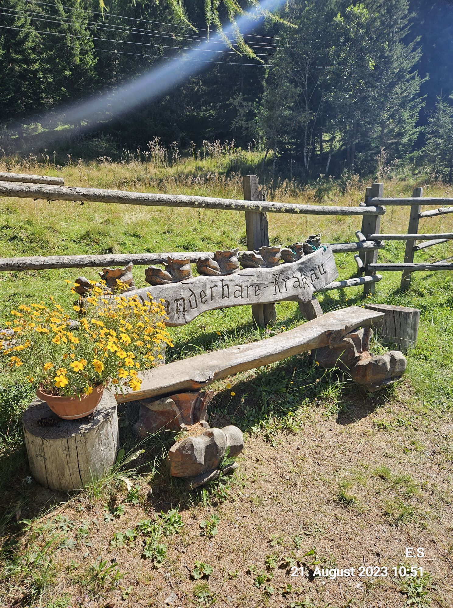
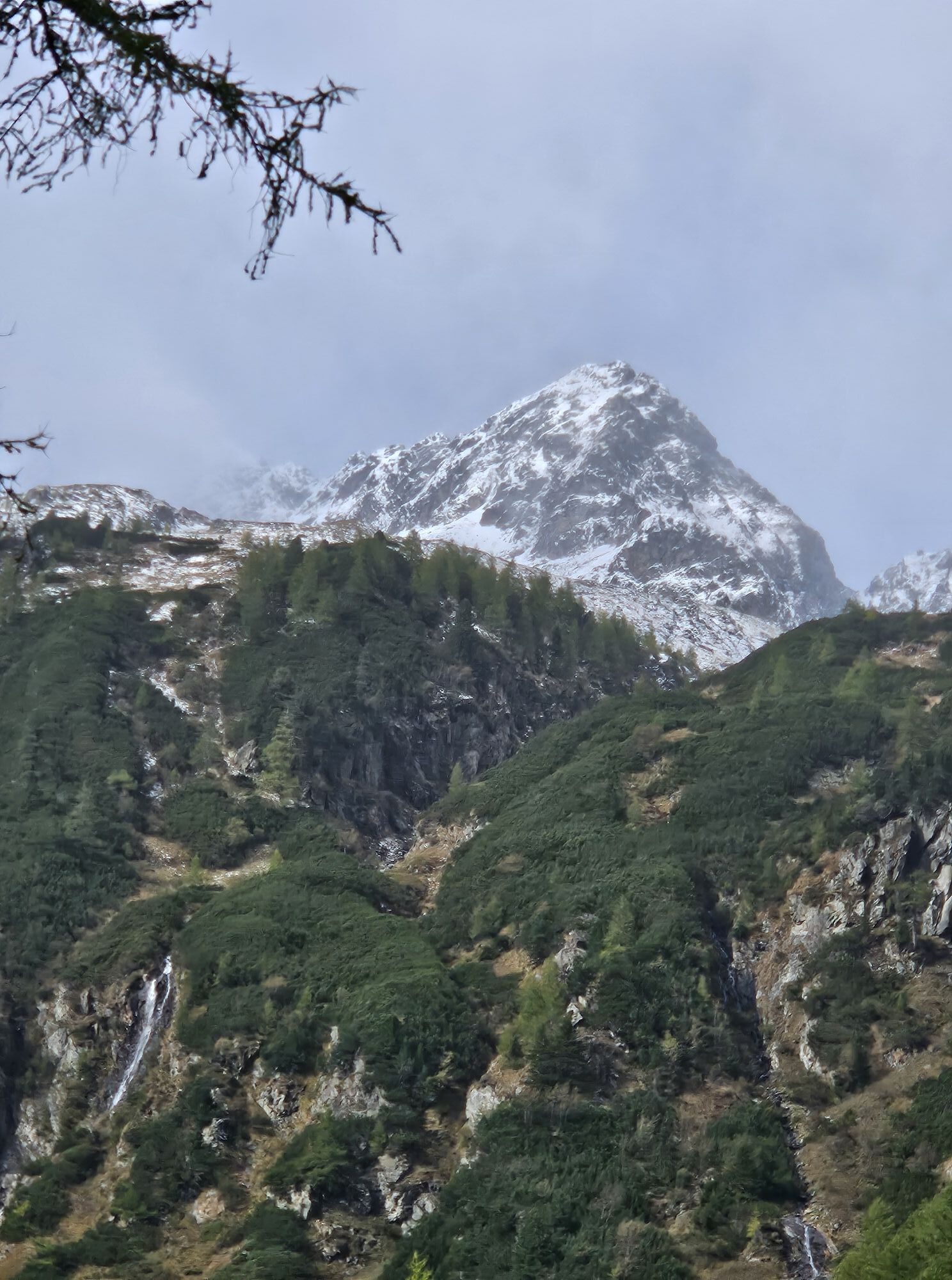
"Moos - Prebertal" Family - bike trail, mountain biker, medium, 350 meters altitude difference Total length: 6 km, gravel From the village of Moos (Klausnerbergsäge) through the Prebertal valley; surrounded...
"Moos - Prebertal"
Family - bike trail, mountain biker, medium, 350 meters altitude difference
Total length: 6 km, gravel
From the village of Moos (Klausnerbergsäge) through the Prebertal valley; surrounded by gentle pastures to the end of this valley in the alpine region of Krakow.


Möslhütte in the Prebertal
Tak
APPROACH FROM THE EAST:
Vienna-Semmering-Bruck-Unzmarkt-Scheifling-Murau-Seebach-Krakow
APPROACH FROM THE WEST:
Münschen-Salzburg-Radstadt-from here:
Variant 1:
Tauernautobahn A10, exit St. Michael-Tamsweg
Variant 2:
via the Radstätter Tauernpass-Mauterndorf-Tamsweg.
From Tamsweg center: direction Seetal-Seebach, Krakautal
Tak
3/6
3/6

Popularne wycieczki w okolicy
-
4,4
Landawirseehütte (1.985 m)
średniWędrówka 5,39 km -
4,7
Schladming - Hochgolling
ciężkiWędrówka 20,6 km -
4,2
Preber summit hike
średniWędrówka 14,9 km -
4,7
Gstoder
średniWędrówka 4,72 km -
4,7
Deneck
średniTrasa tematyczna 8,02 km -
4,7
Preintalerhütte über den Alpinsteig Höll
średniWędrówka 13,8 km -
4,5
Seekarlsee - Karibikfeeling garantiert
średniTrasa tematyczna 12,3 km -
3,7
Kleinsölk: Putzentalalm
światłoWędrówka 11,7 km -
5,0
„Top of Niedere Tauern“- 2 tages Tour - Wilde Wasser - Greifenberg 2618m - Hochgolling 2862m
średniWędrówka 35,5 km -
4,5
Gipfeltour zum Knallstein
średniWędrówka 16,4 km
Wędrówki i tropienie


Nie przegap ofert i inspiracji na następne wakacje
Twój adres e-mail została dodana do listy mailingowej.


