





Hike Ben Nevis, Scotland

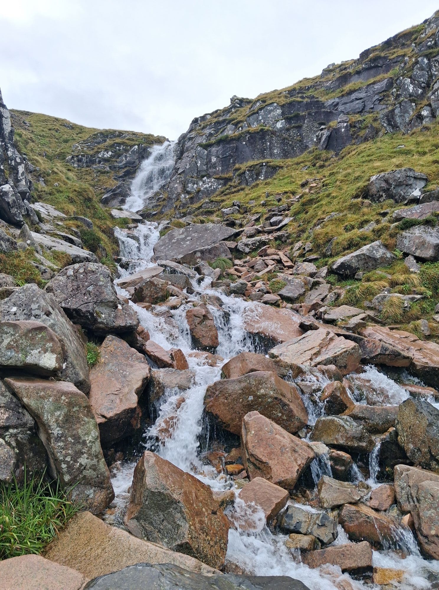
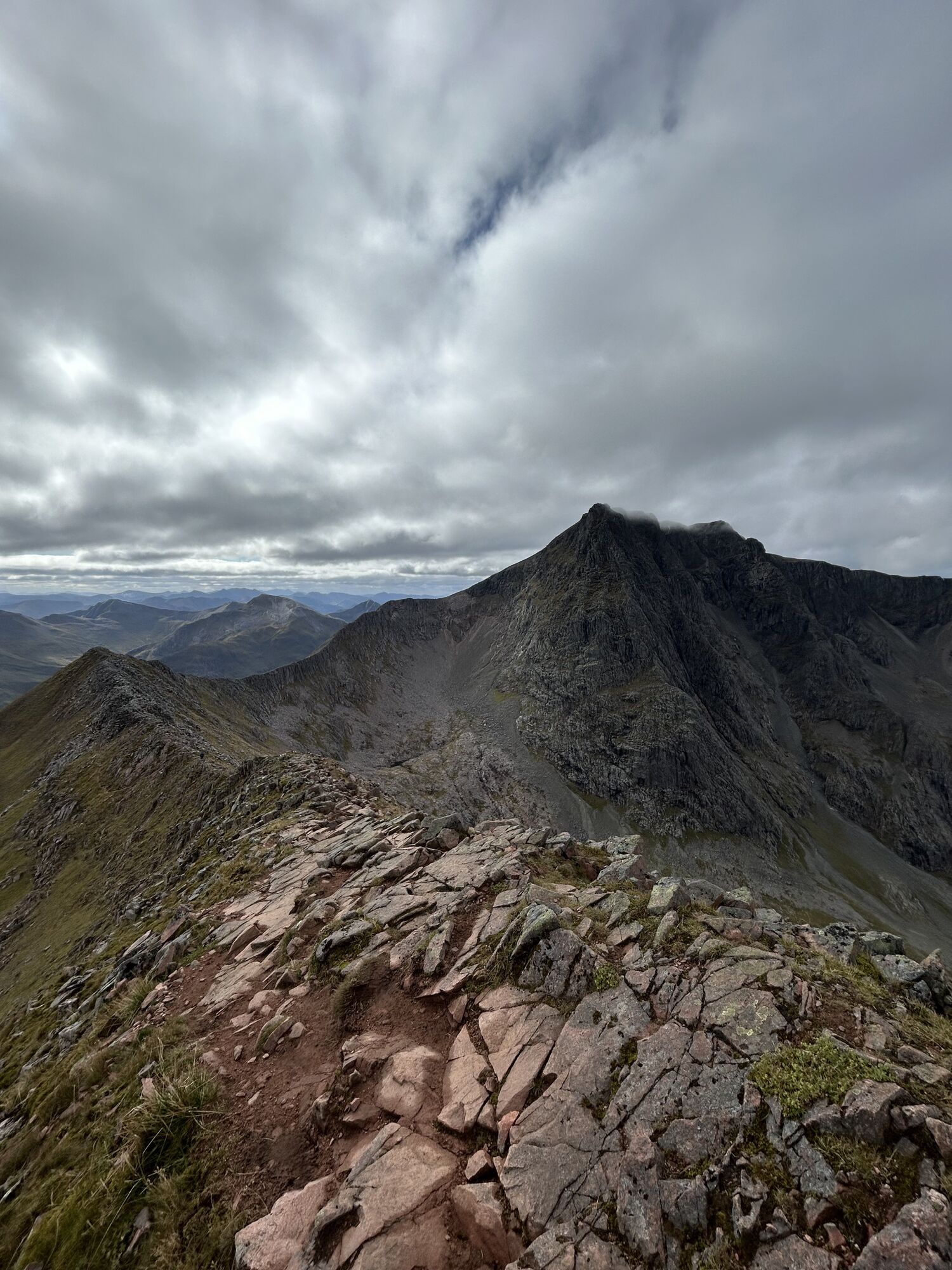
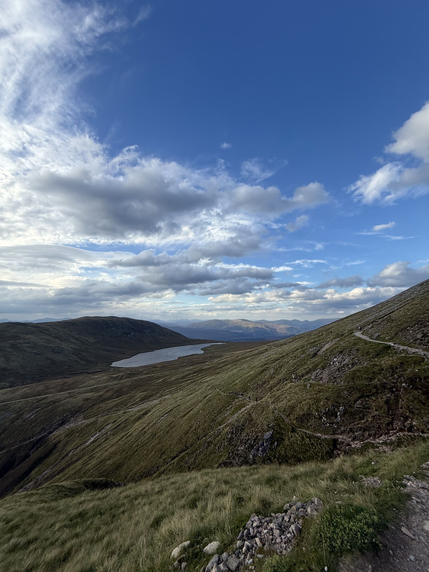
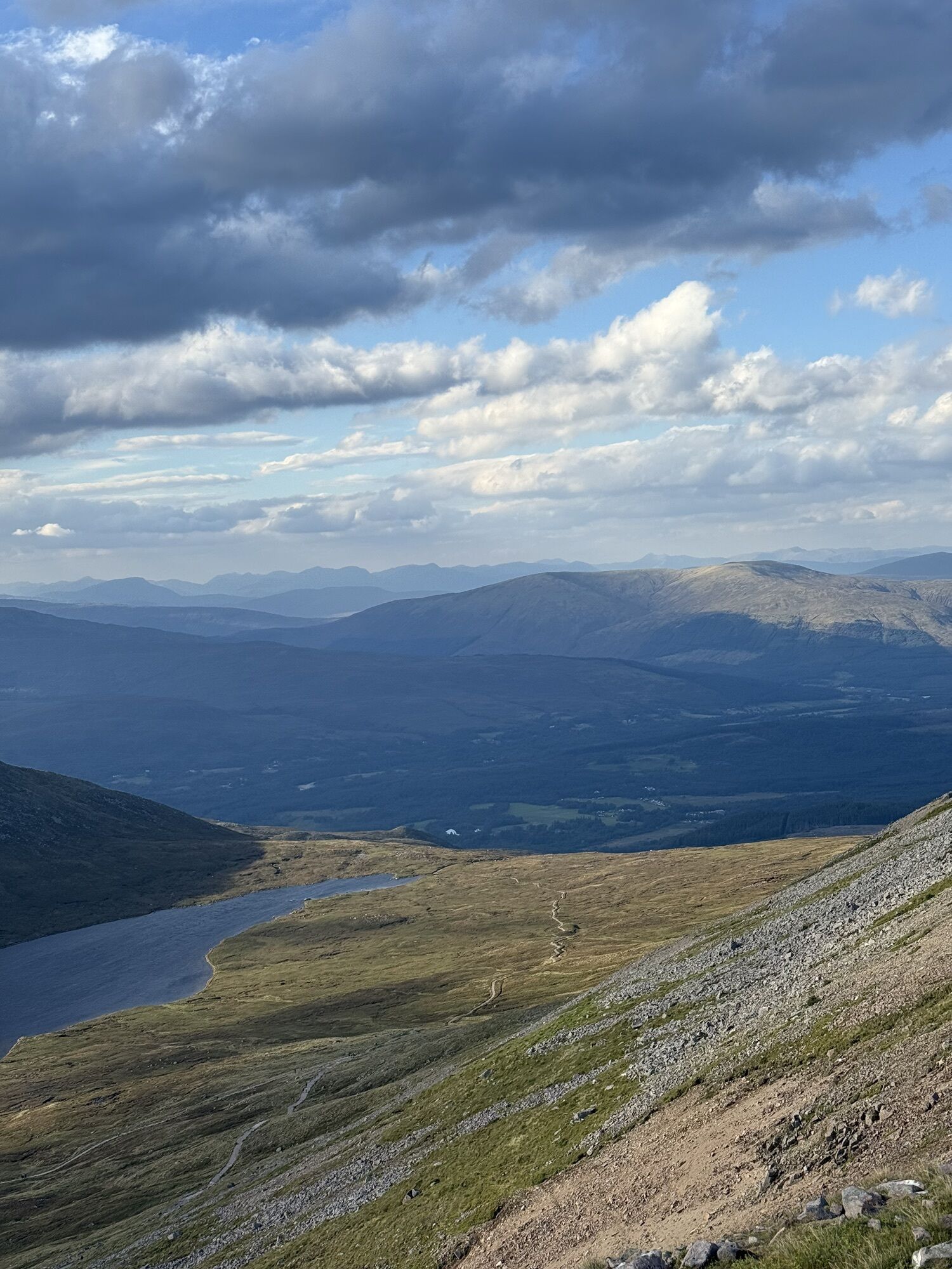
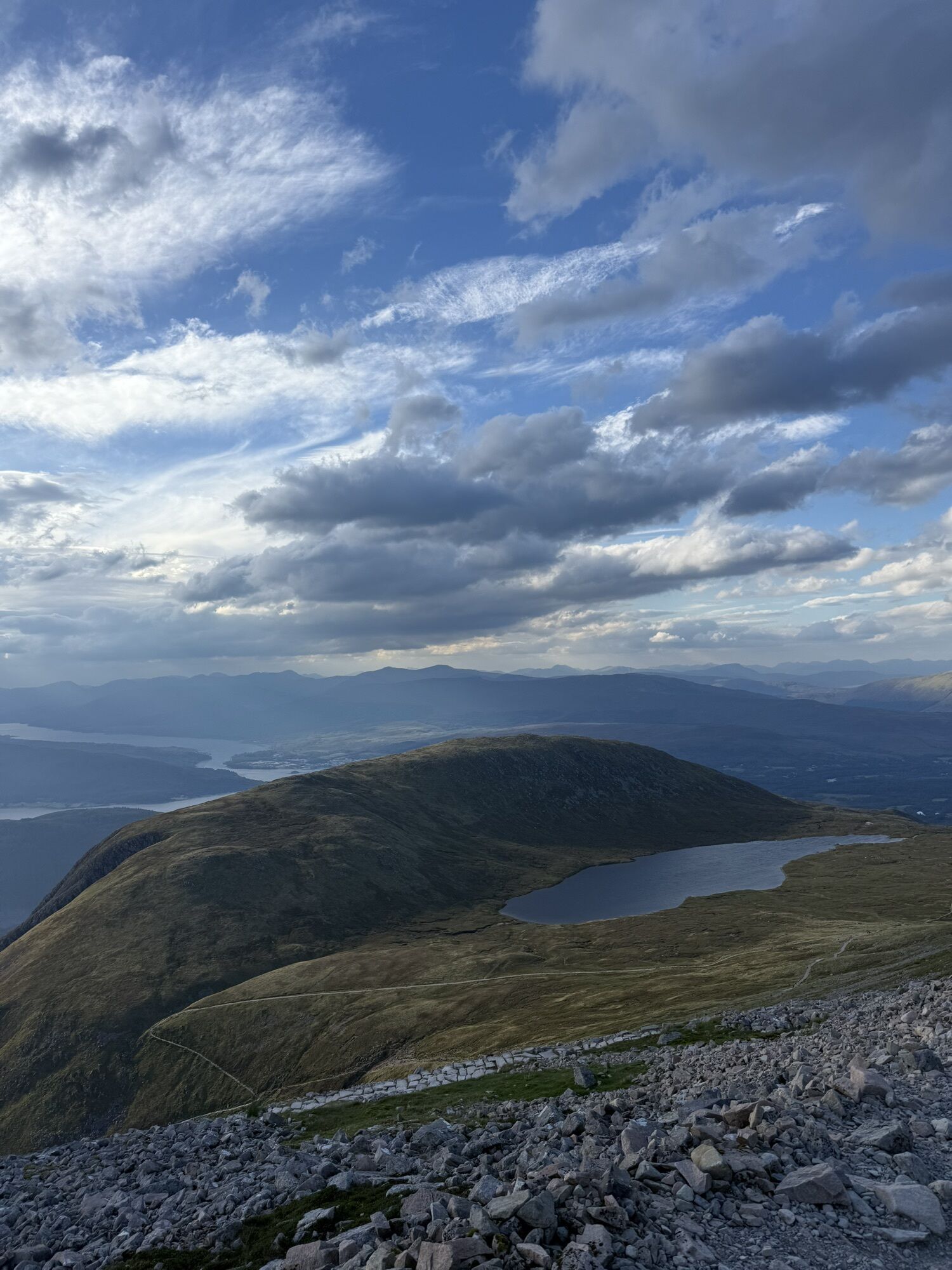
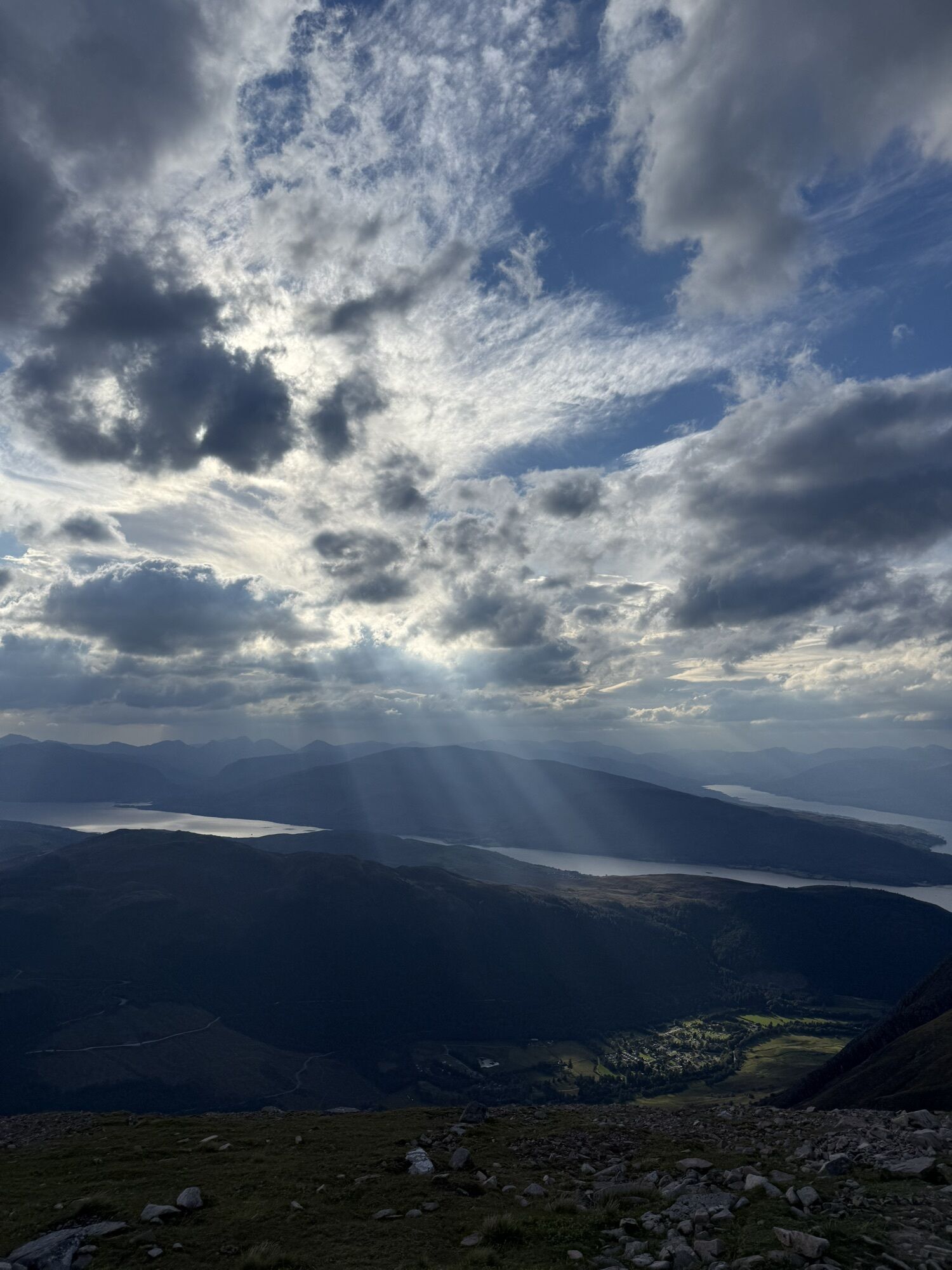
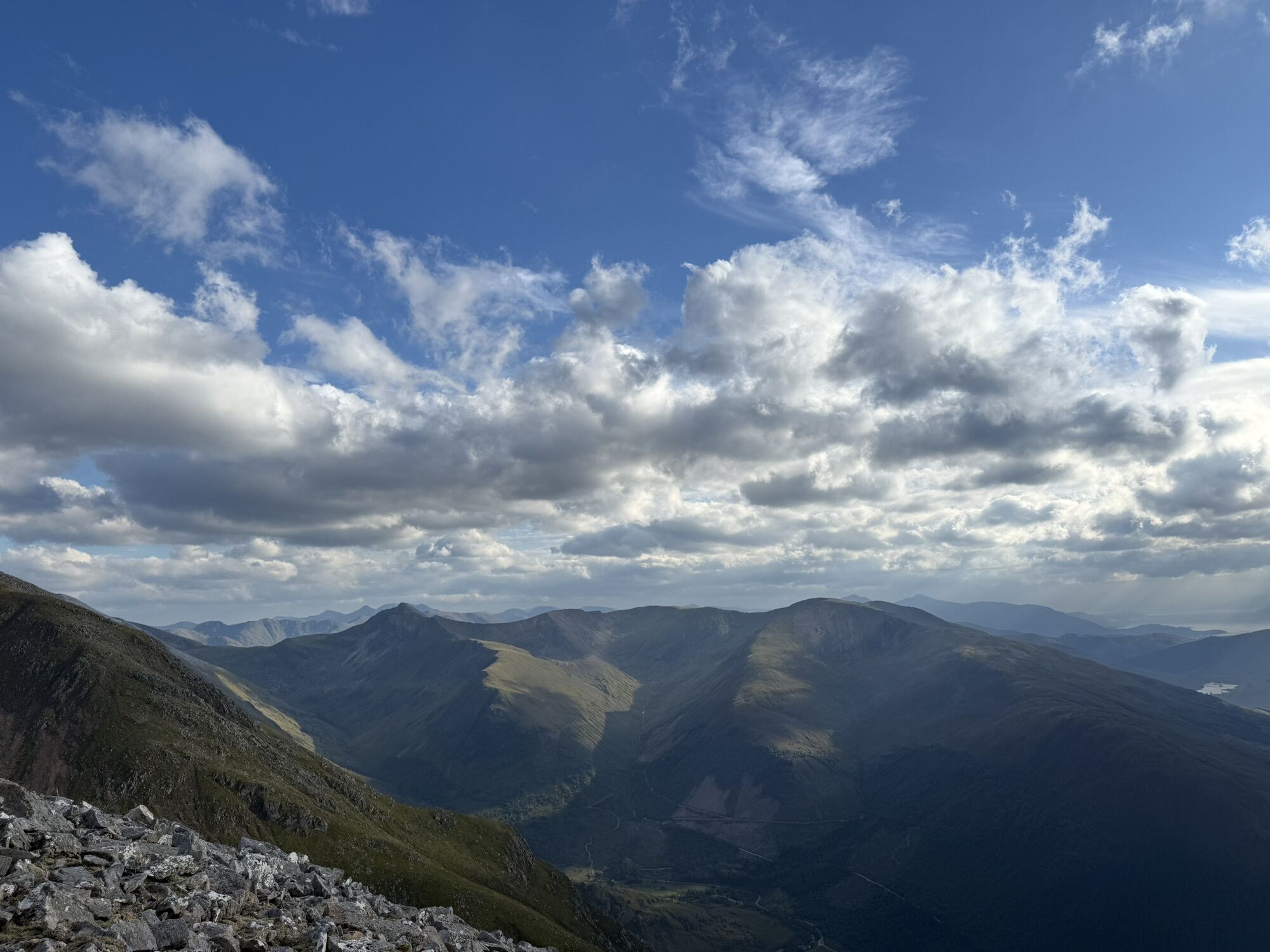
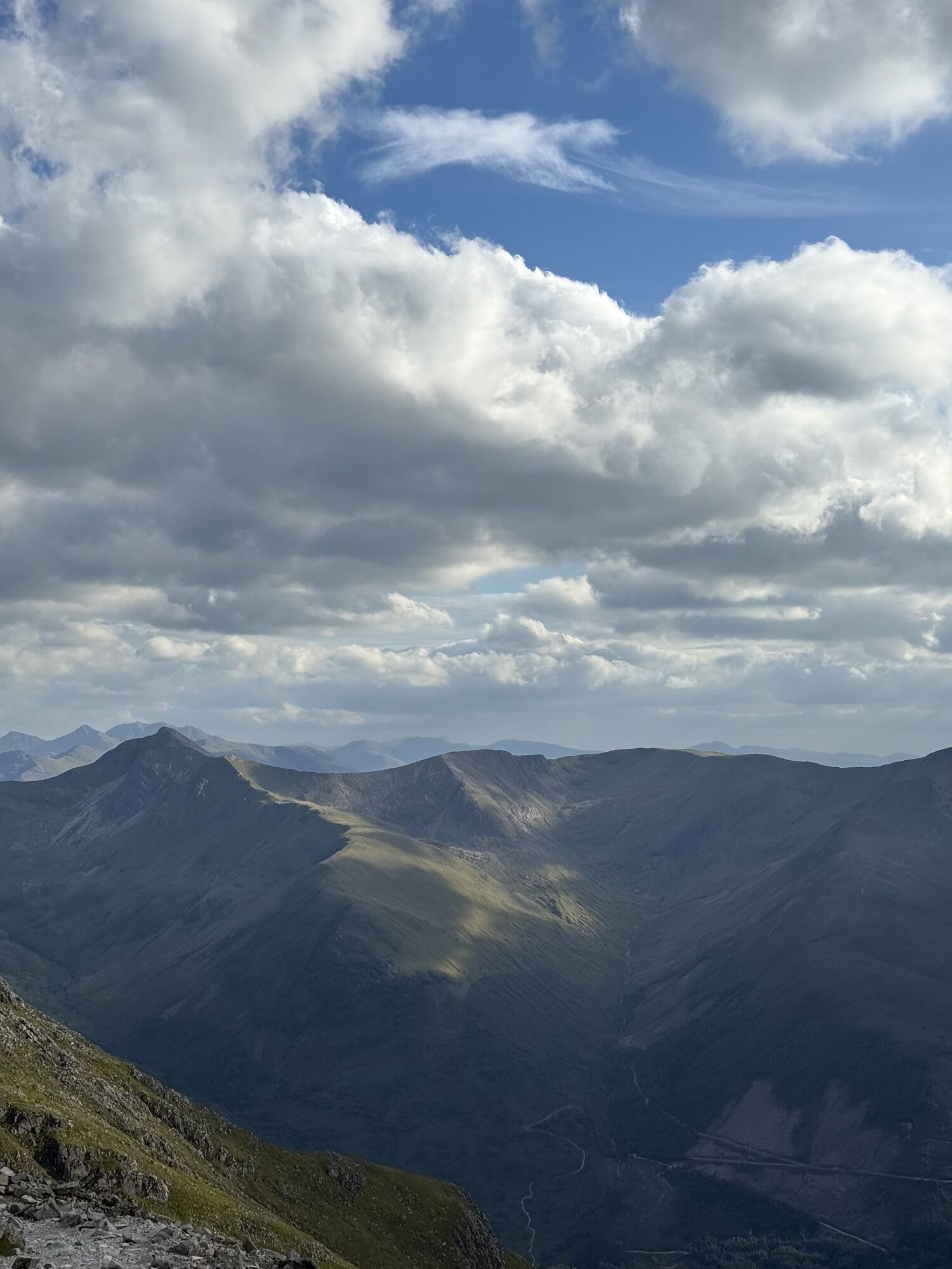
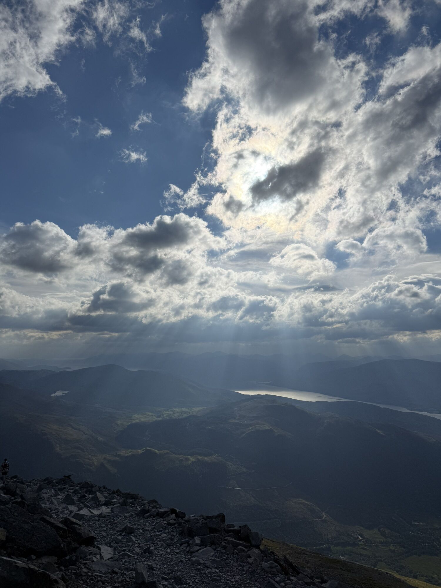
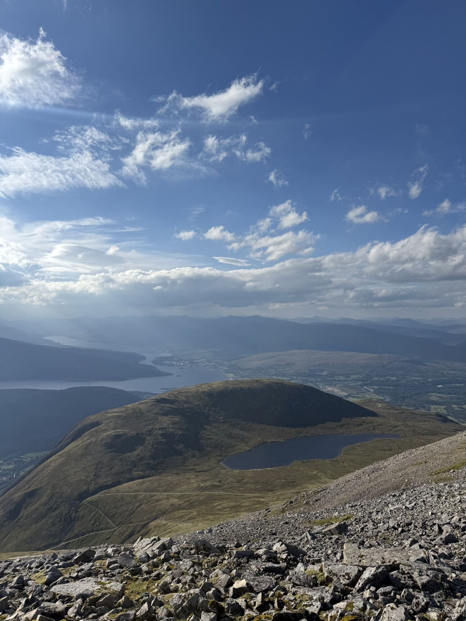
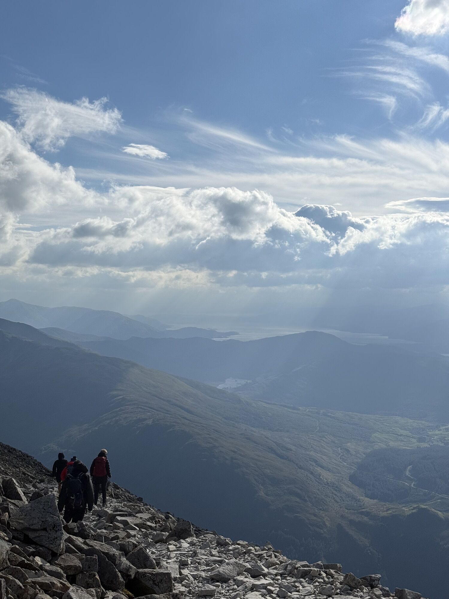
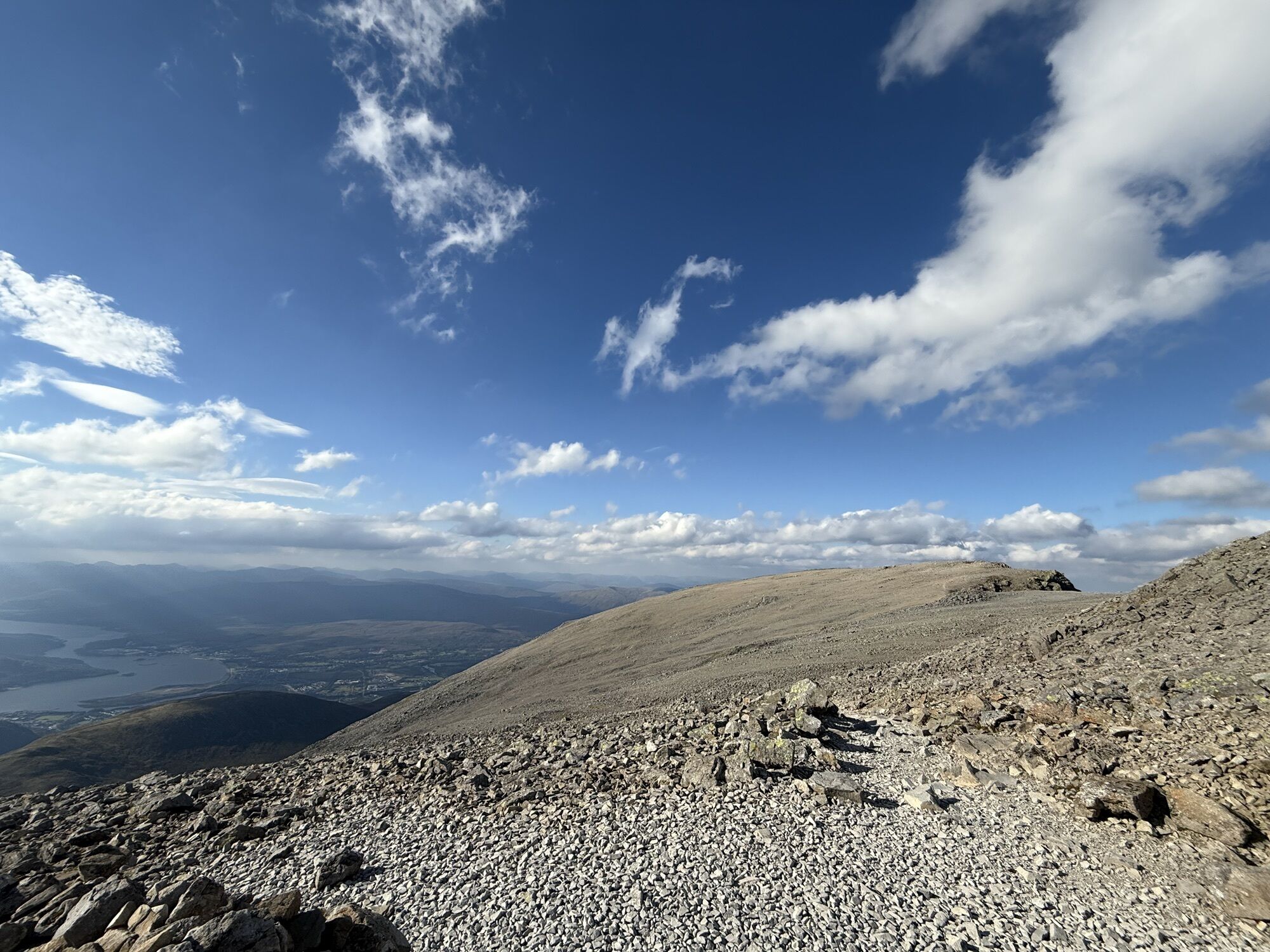
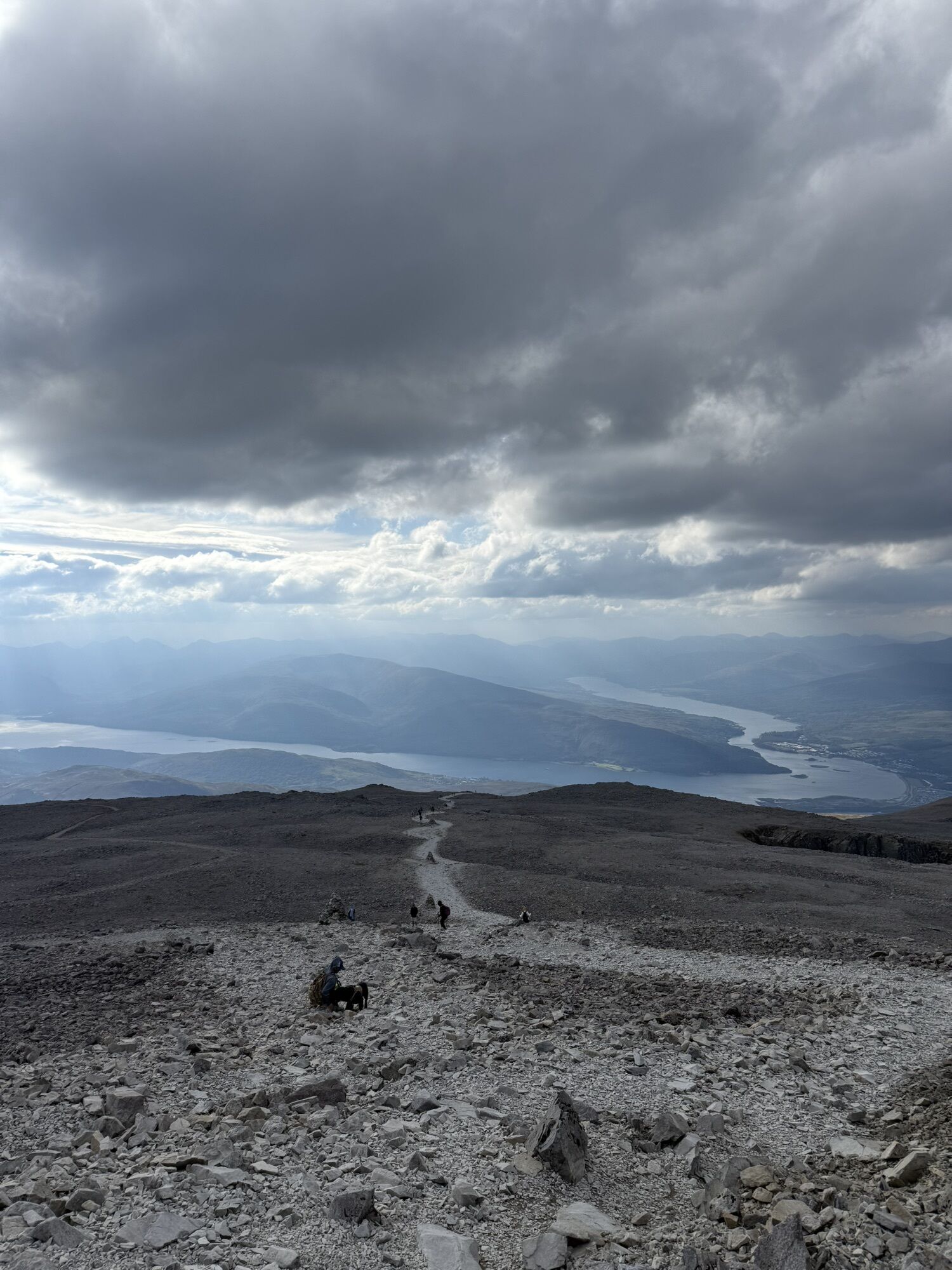
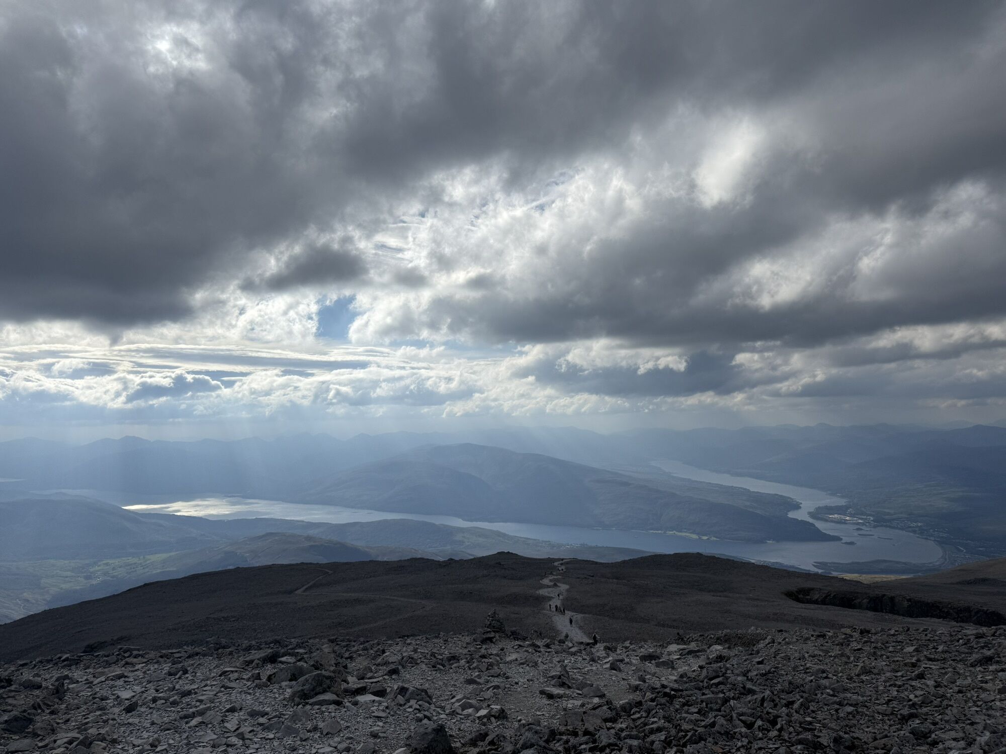
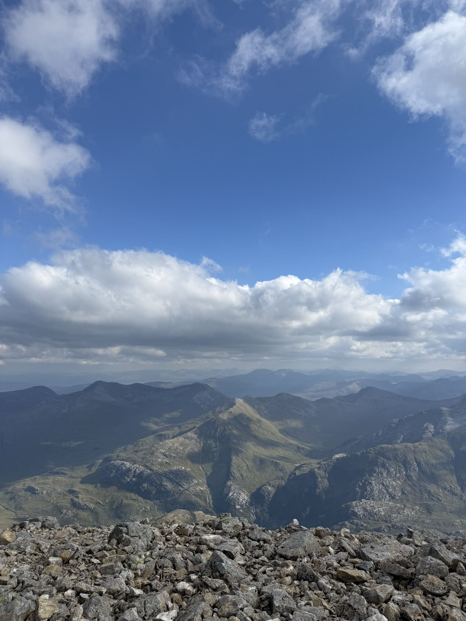
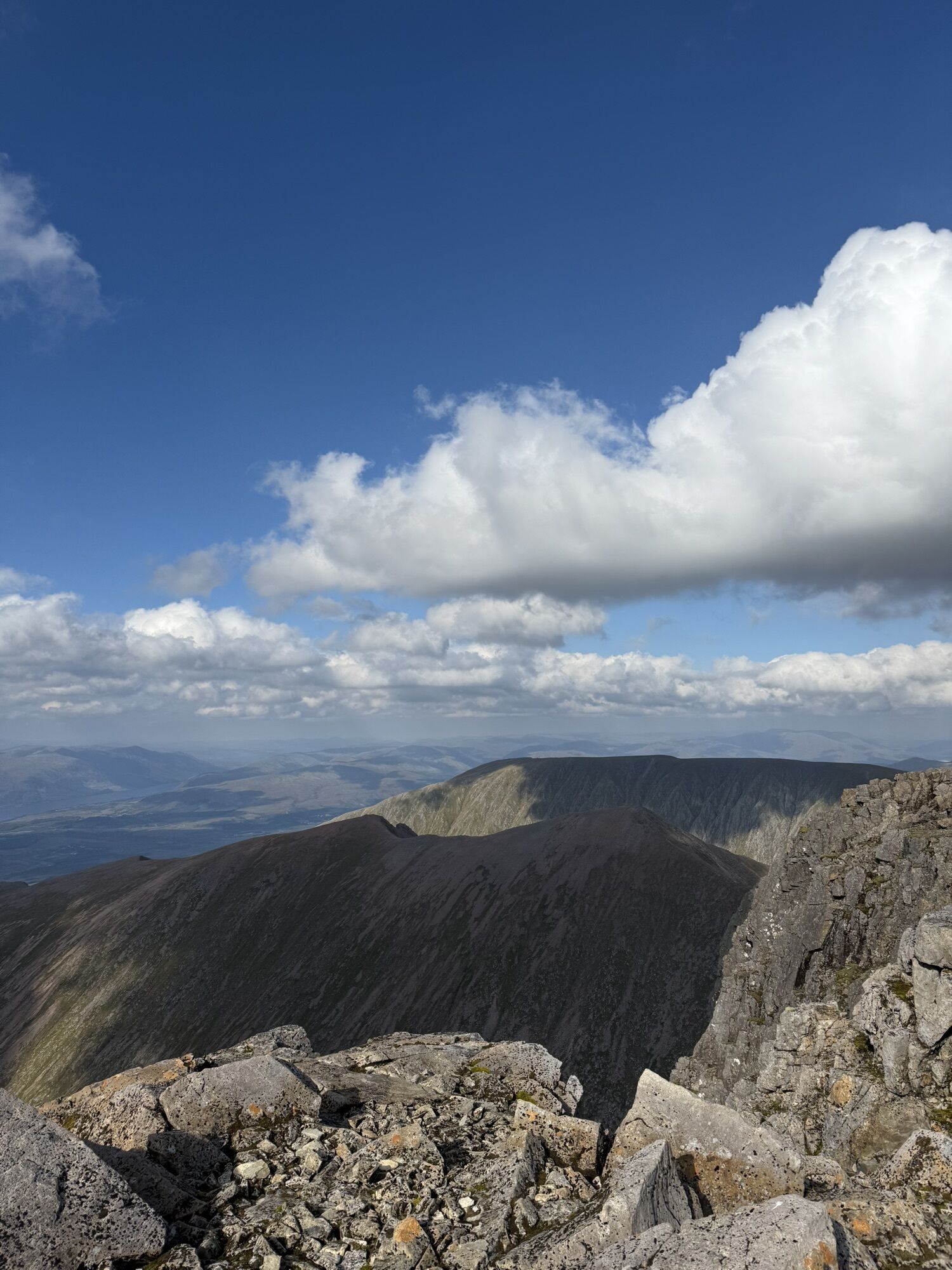
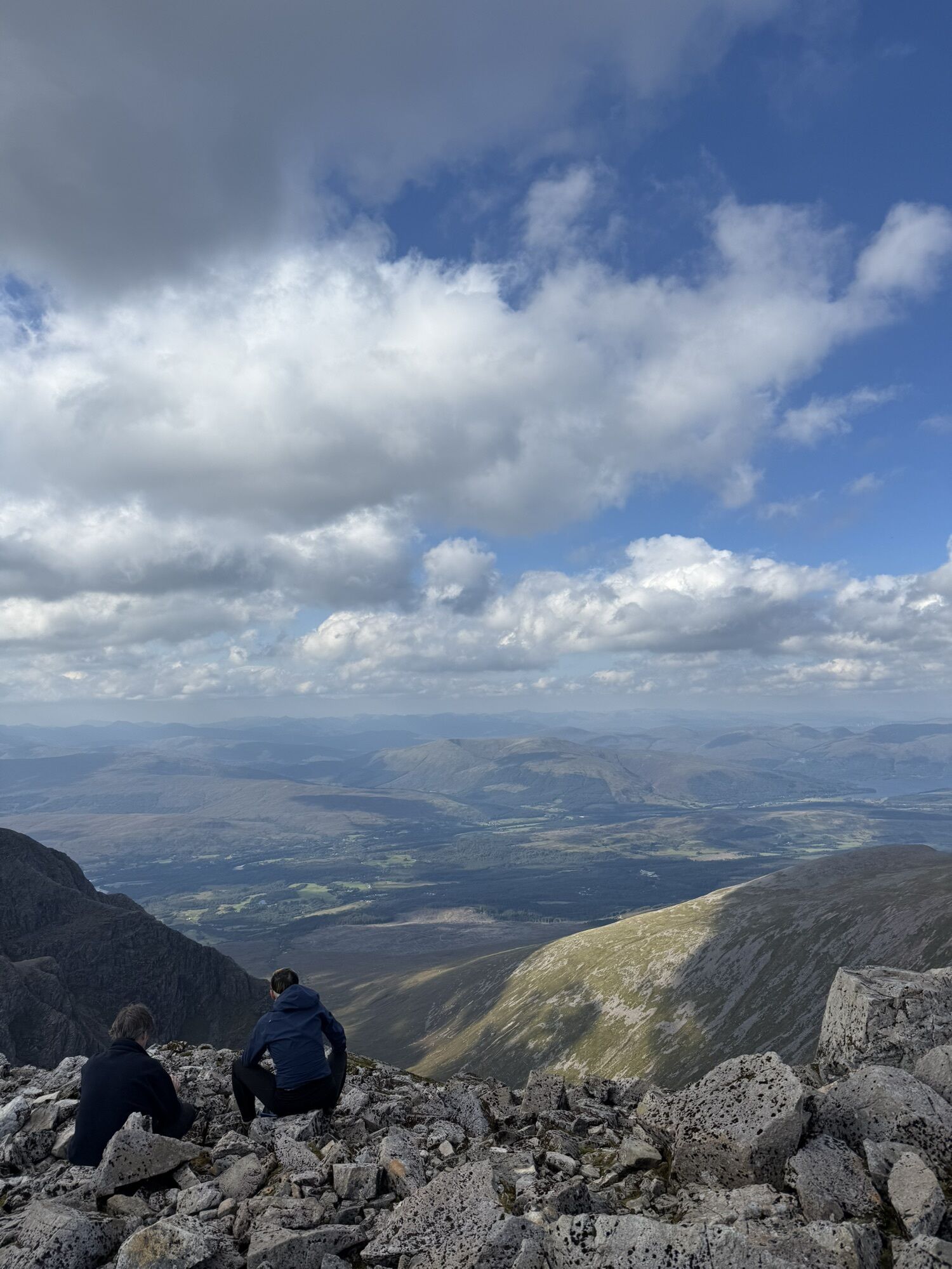
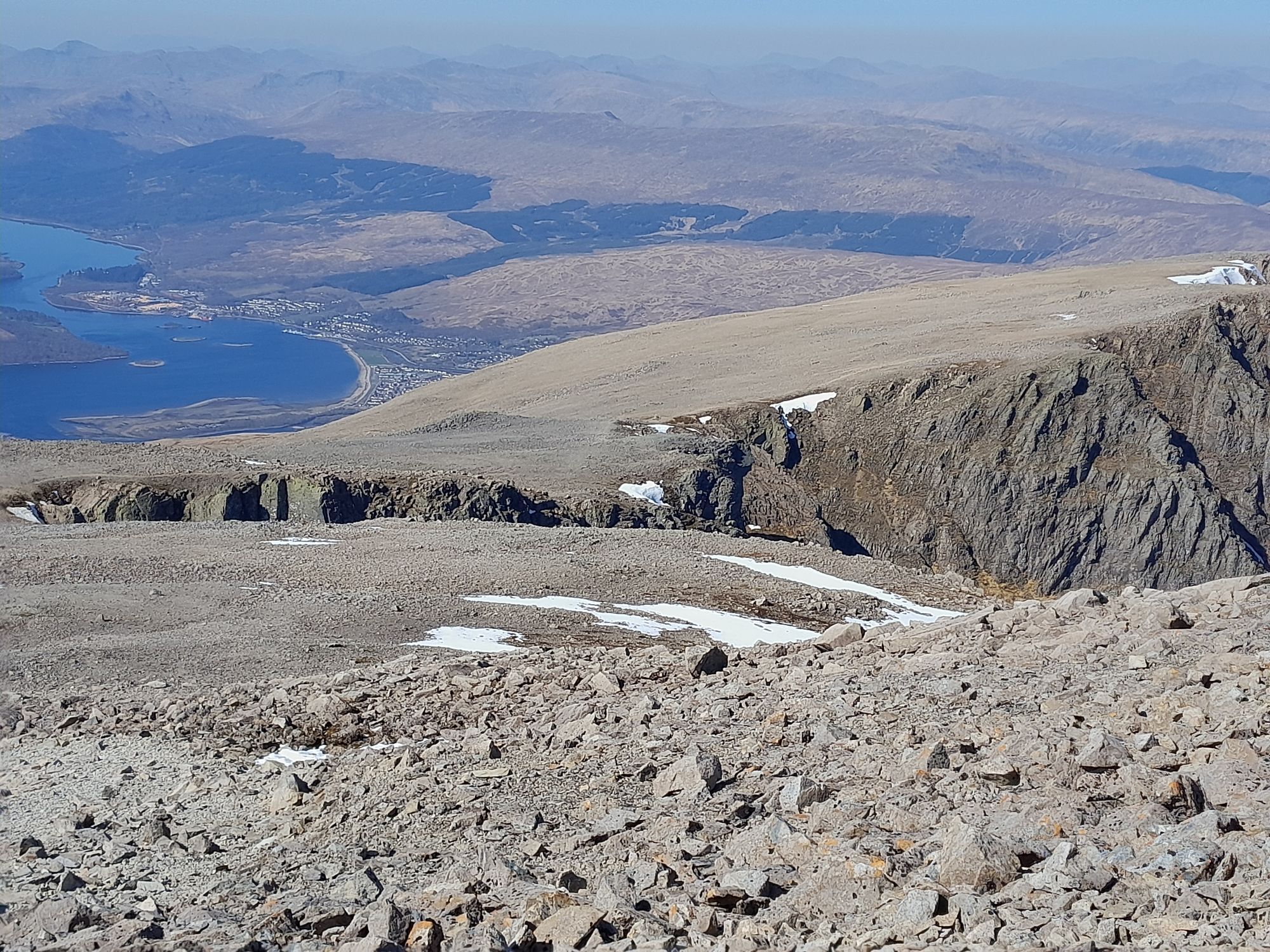
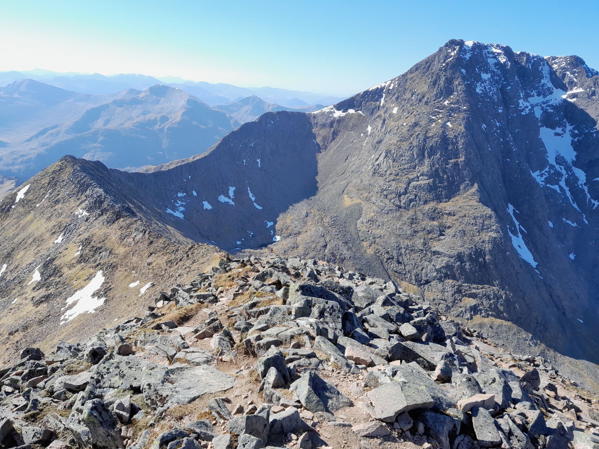
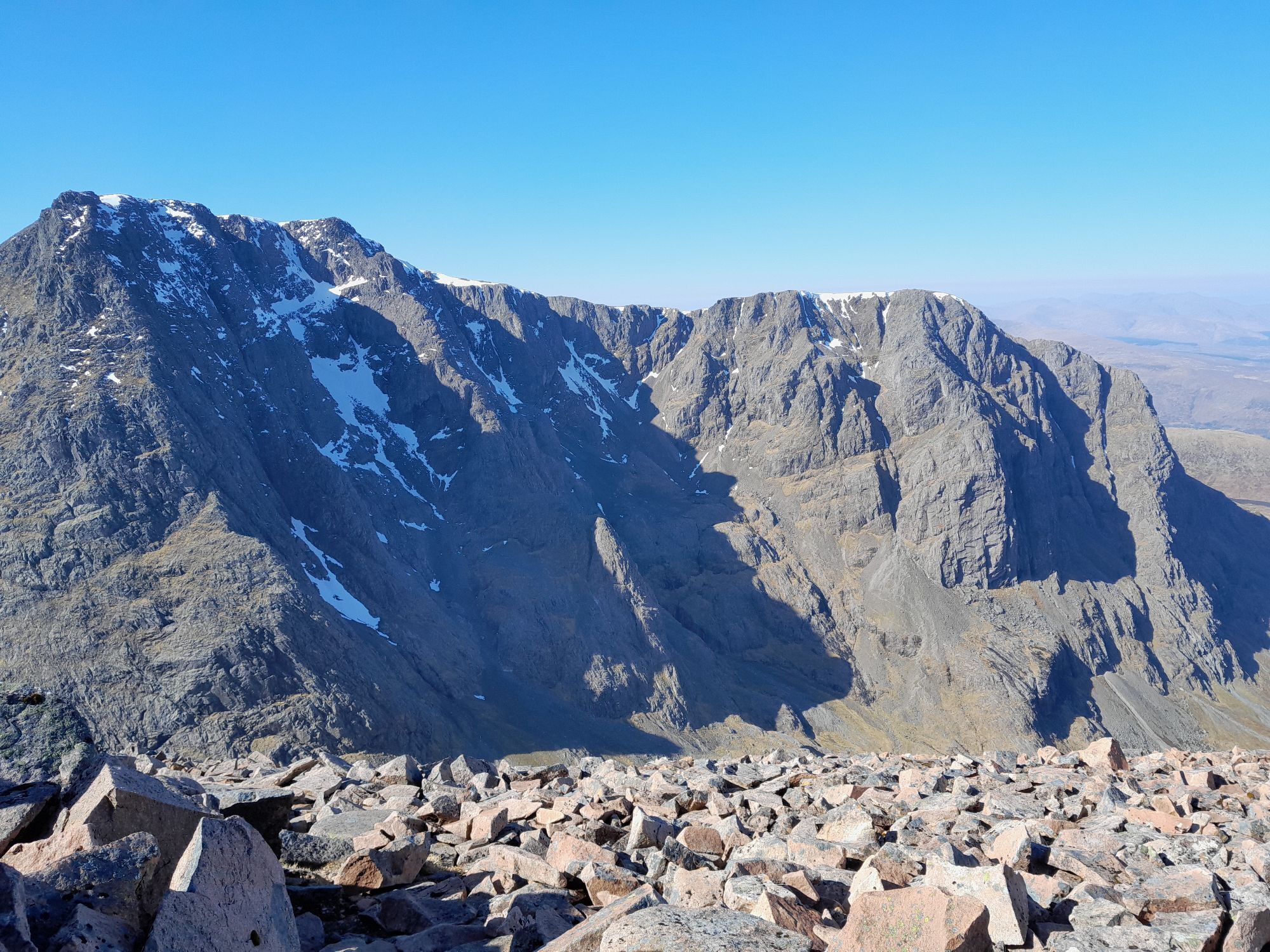
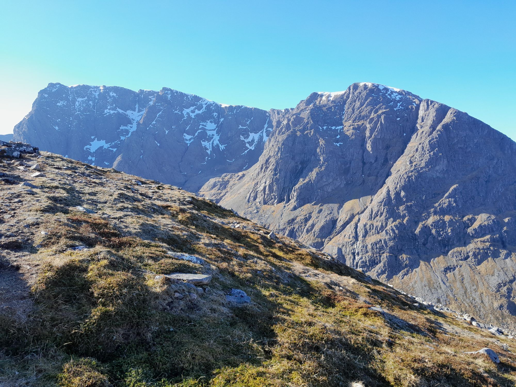
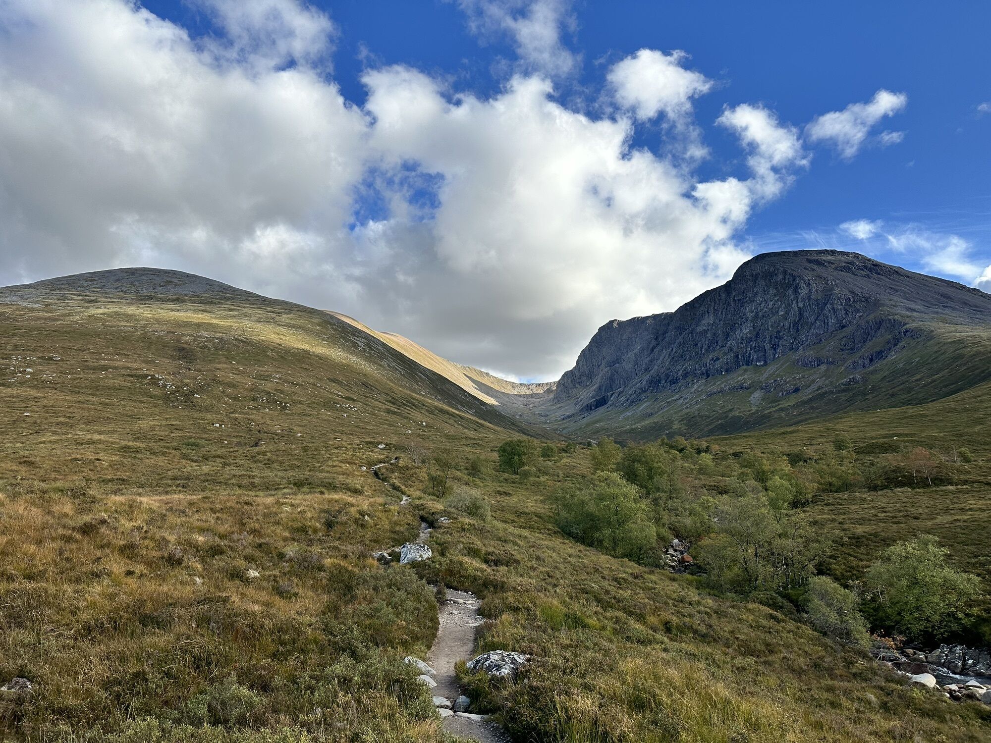
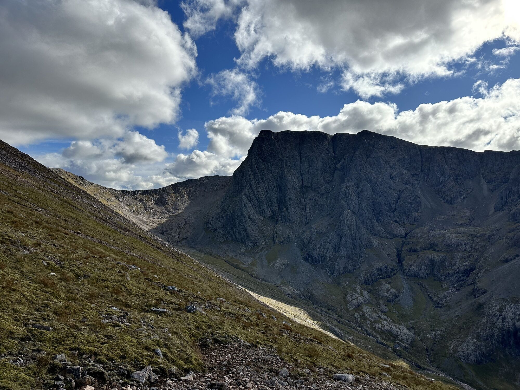
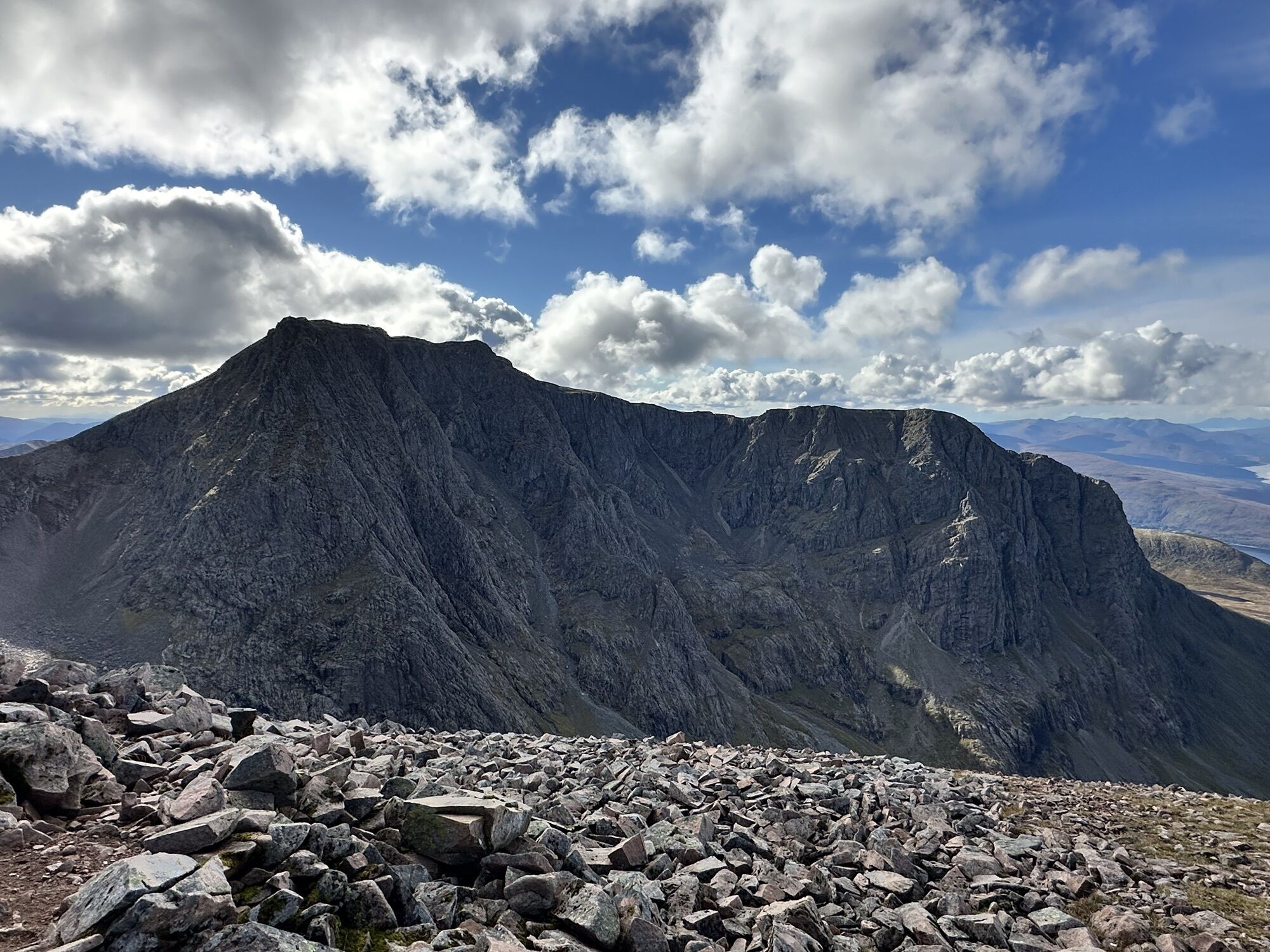
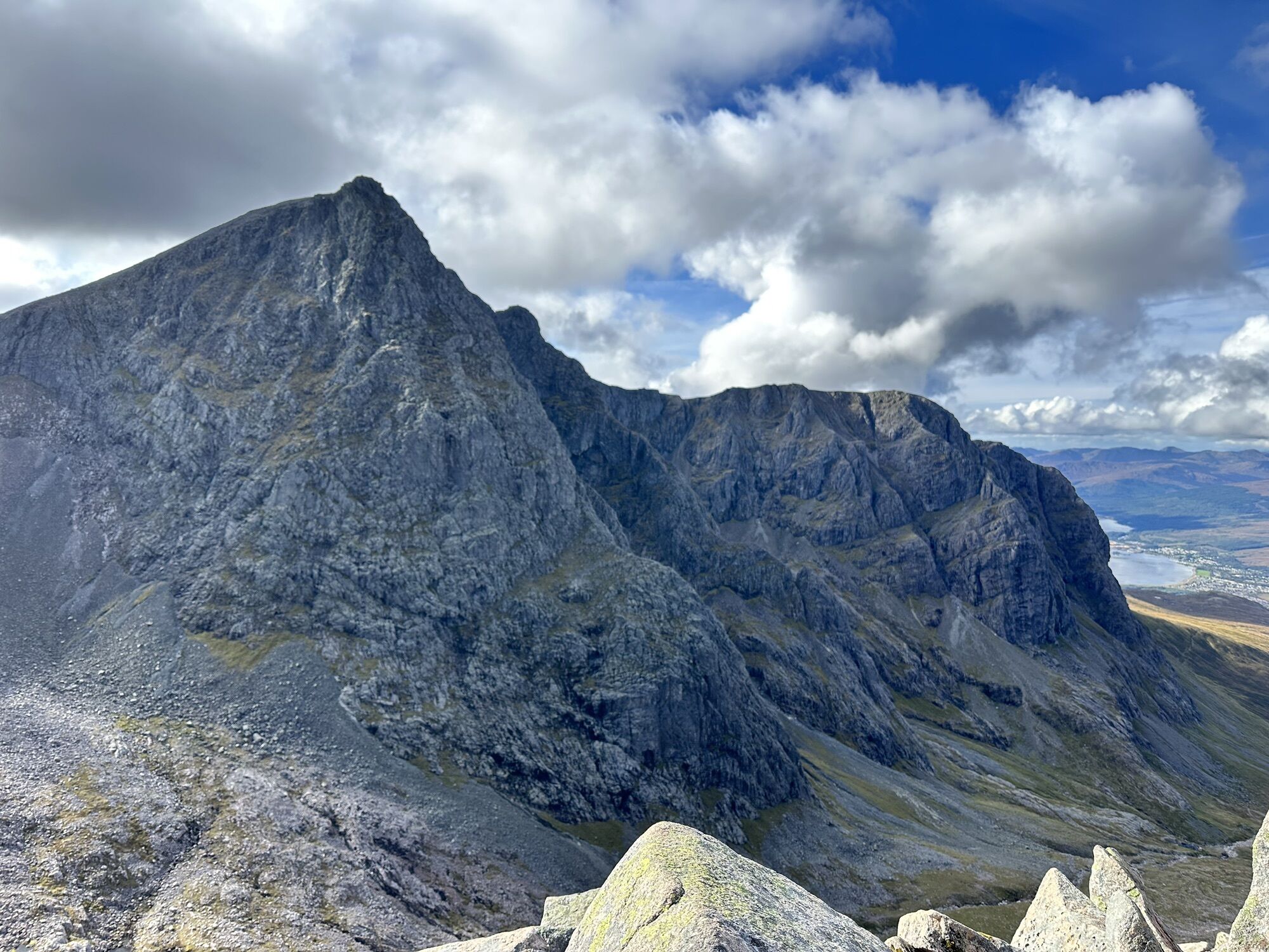
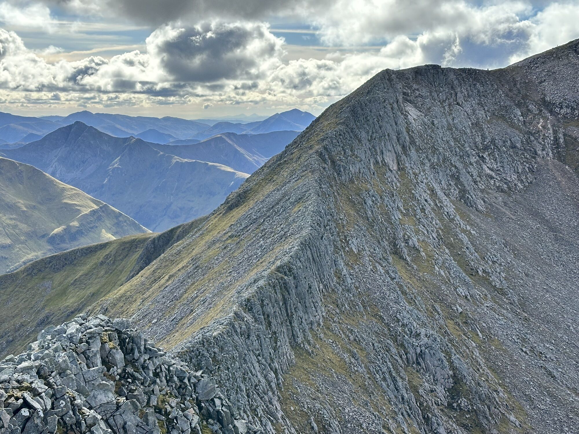
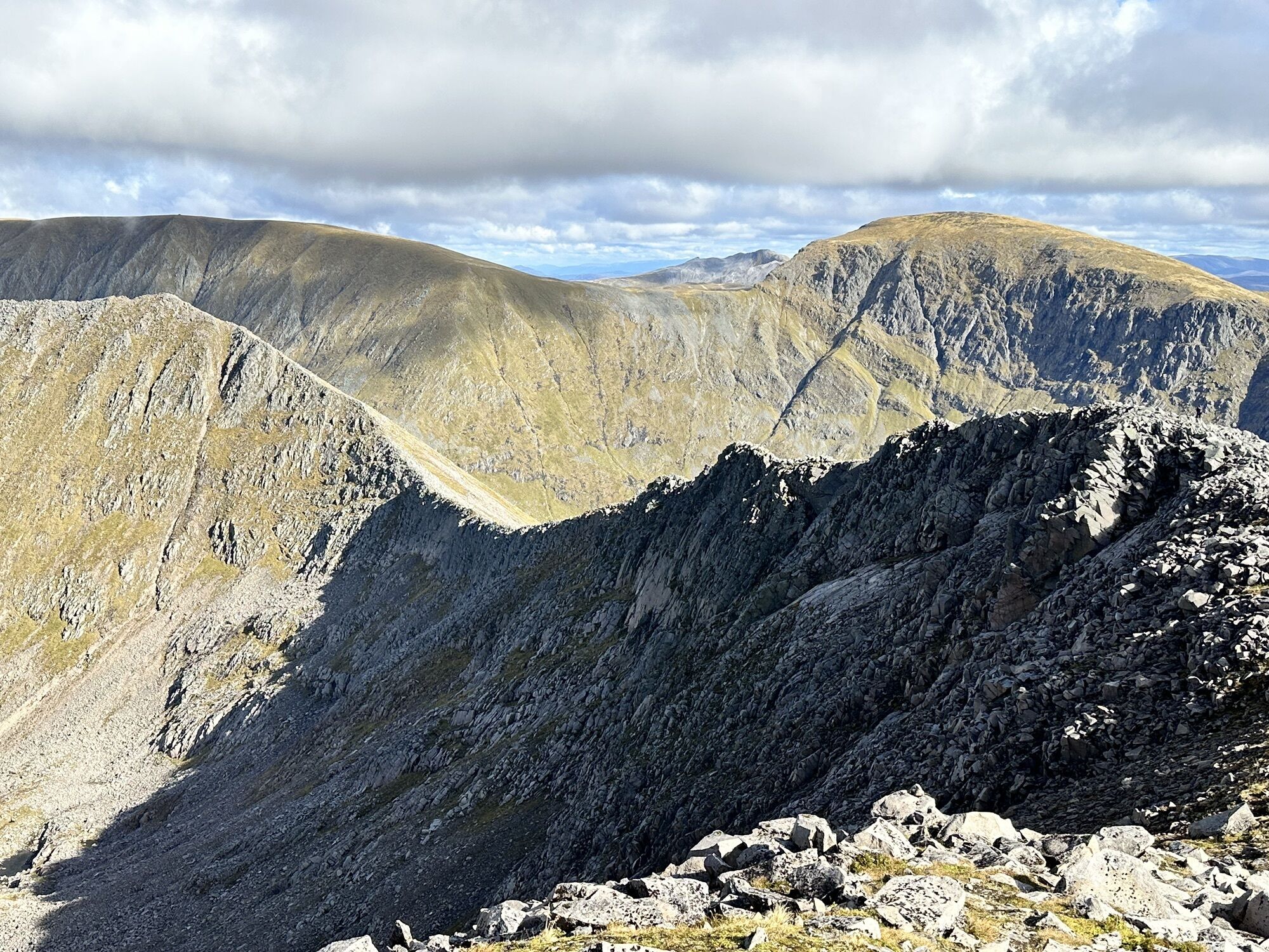
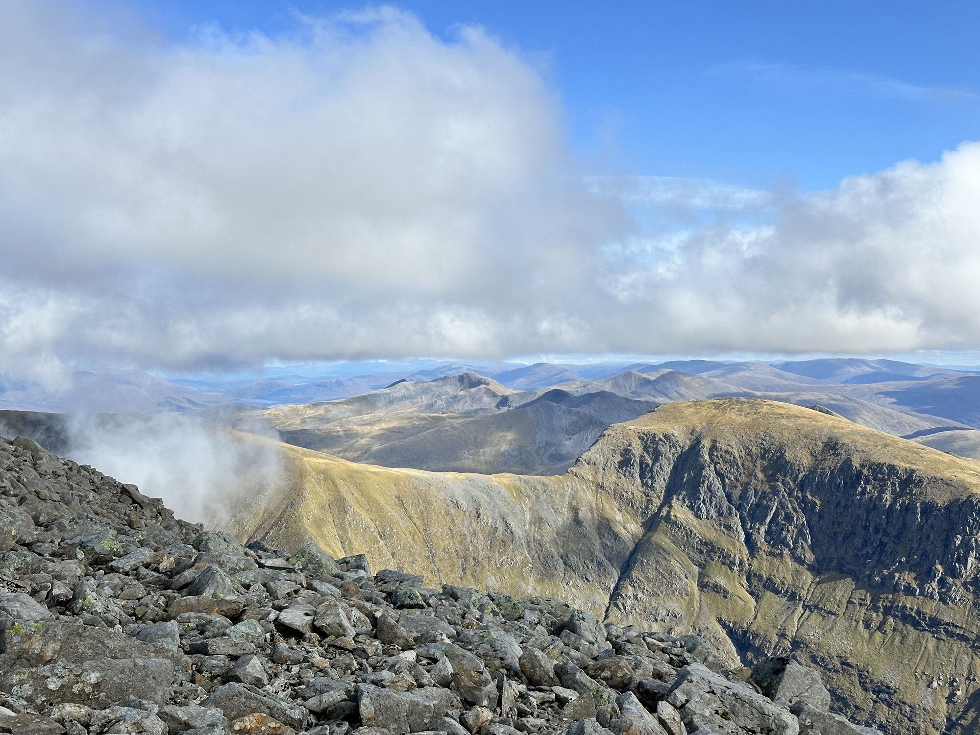
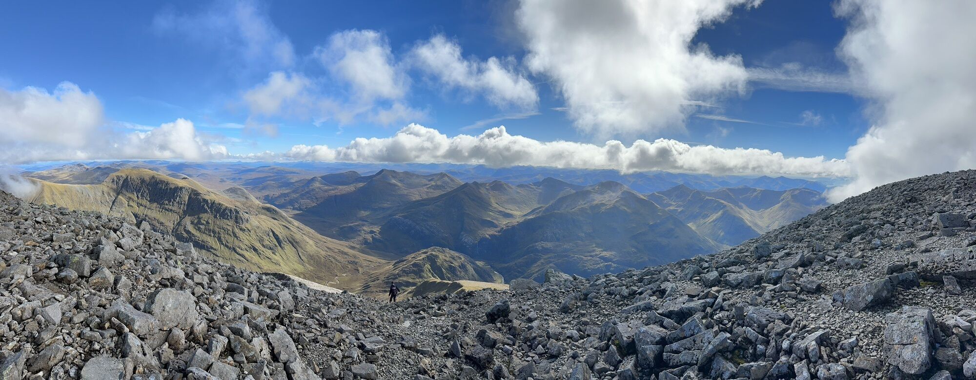
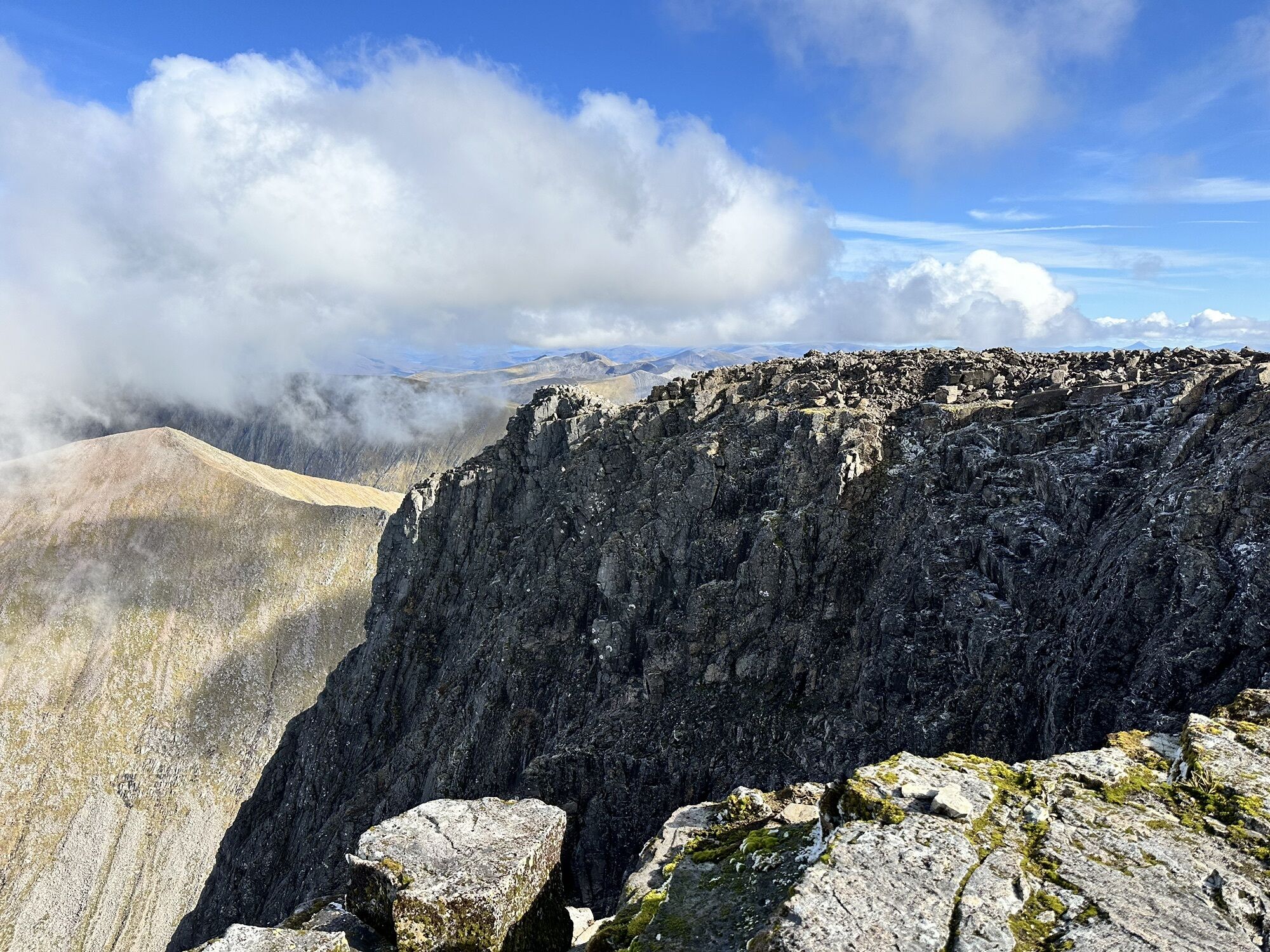
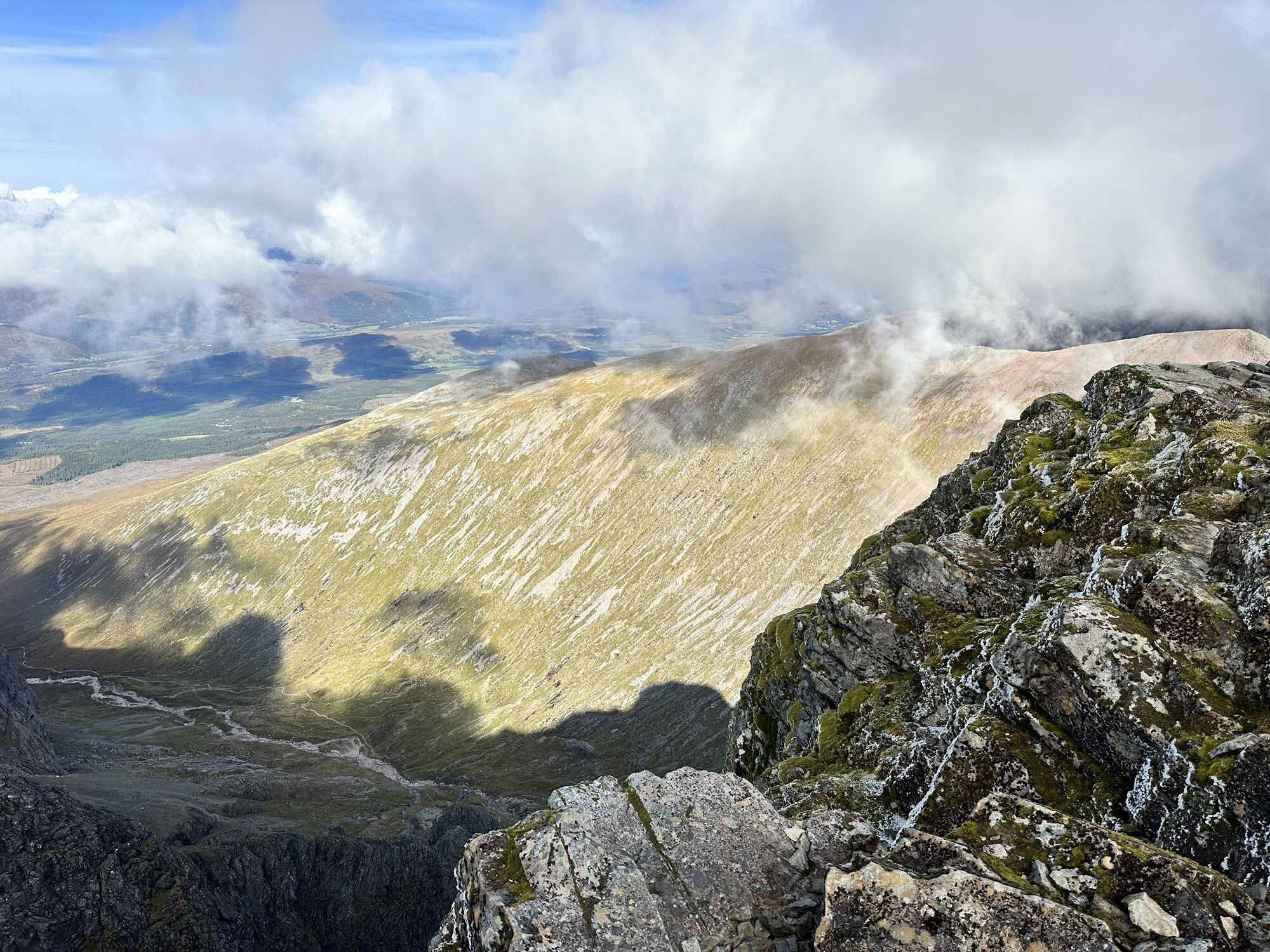
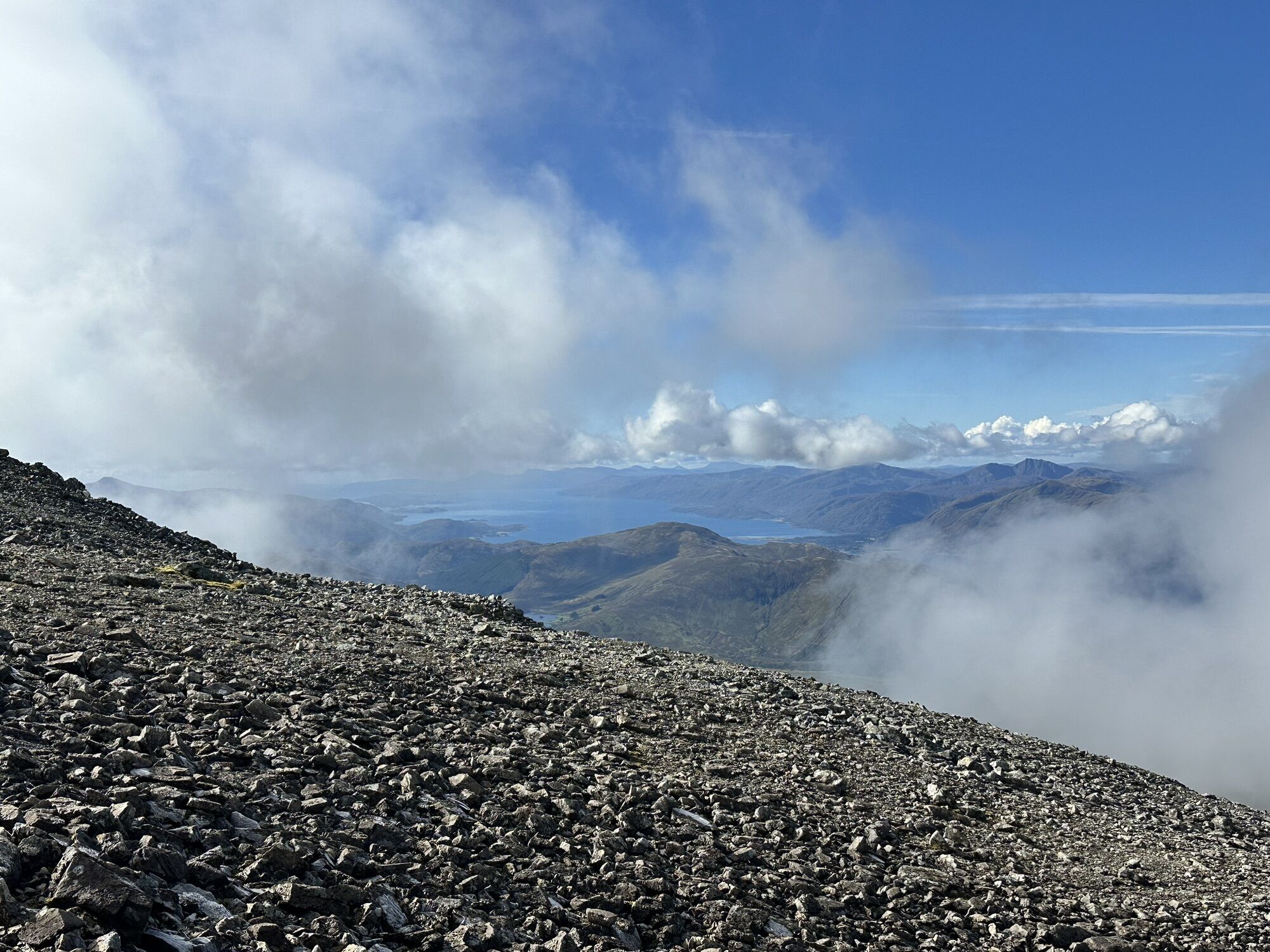
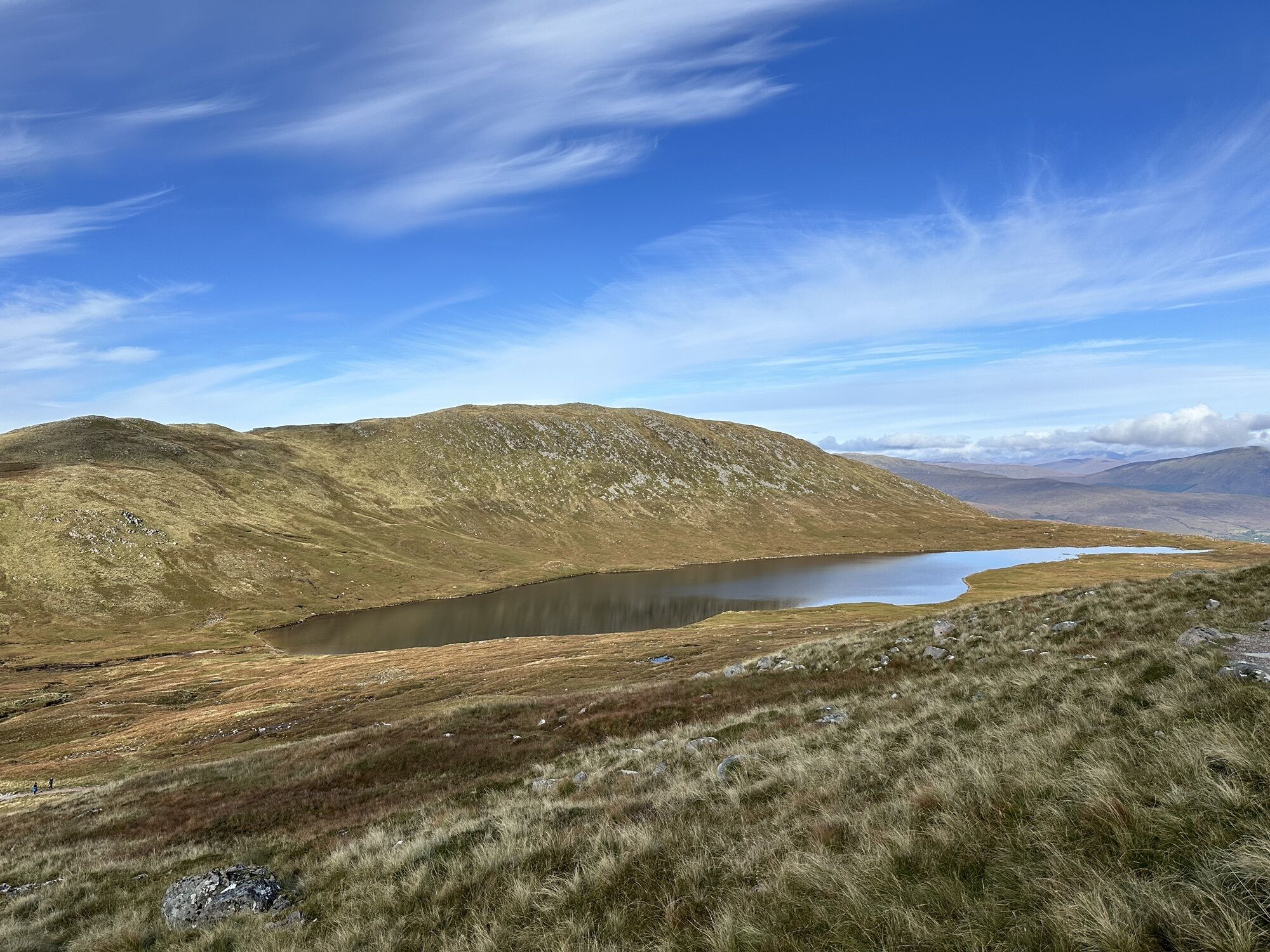
Hard climb, sometimes it's required using hands while passing the ridge to Ben Nevis. You should be in shape and having no fear of heights. You don't have to be very skilled, but in some cases experience...
Hard climb, sometimes it's required using hands while passing the ridge to Ben Nevis. You should be in shape and having no fear of heights. You don't have to be very skilled, but in some cases experience in alpin hiking can be useful.
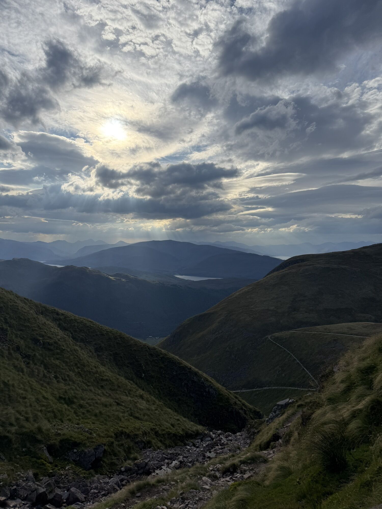
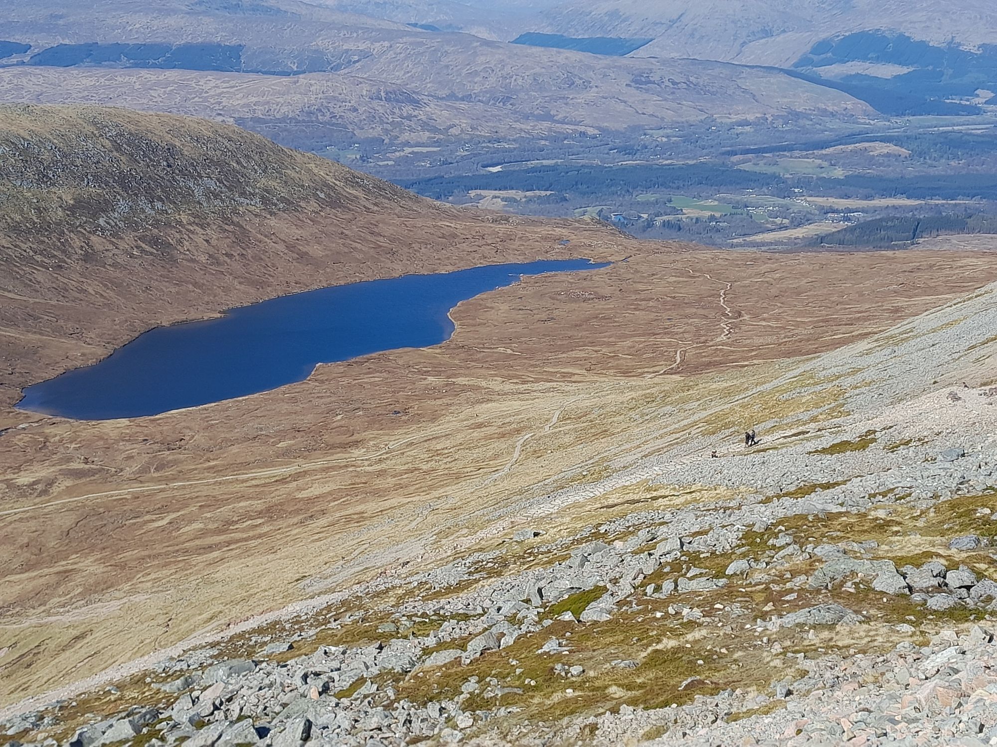
Descent is on the main touristic path. It's crowded but you're leaving the busy part soon. On the last 2,3 miles it can be very soaky.
Other
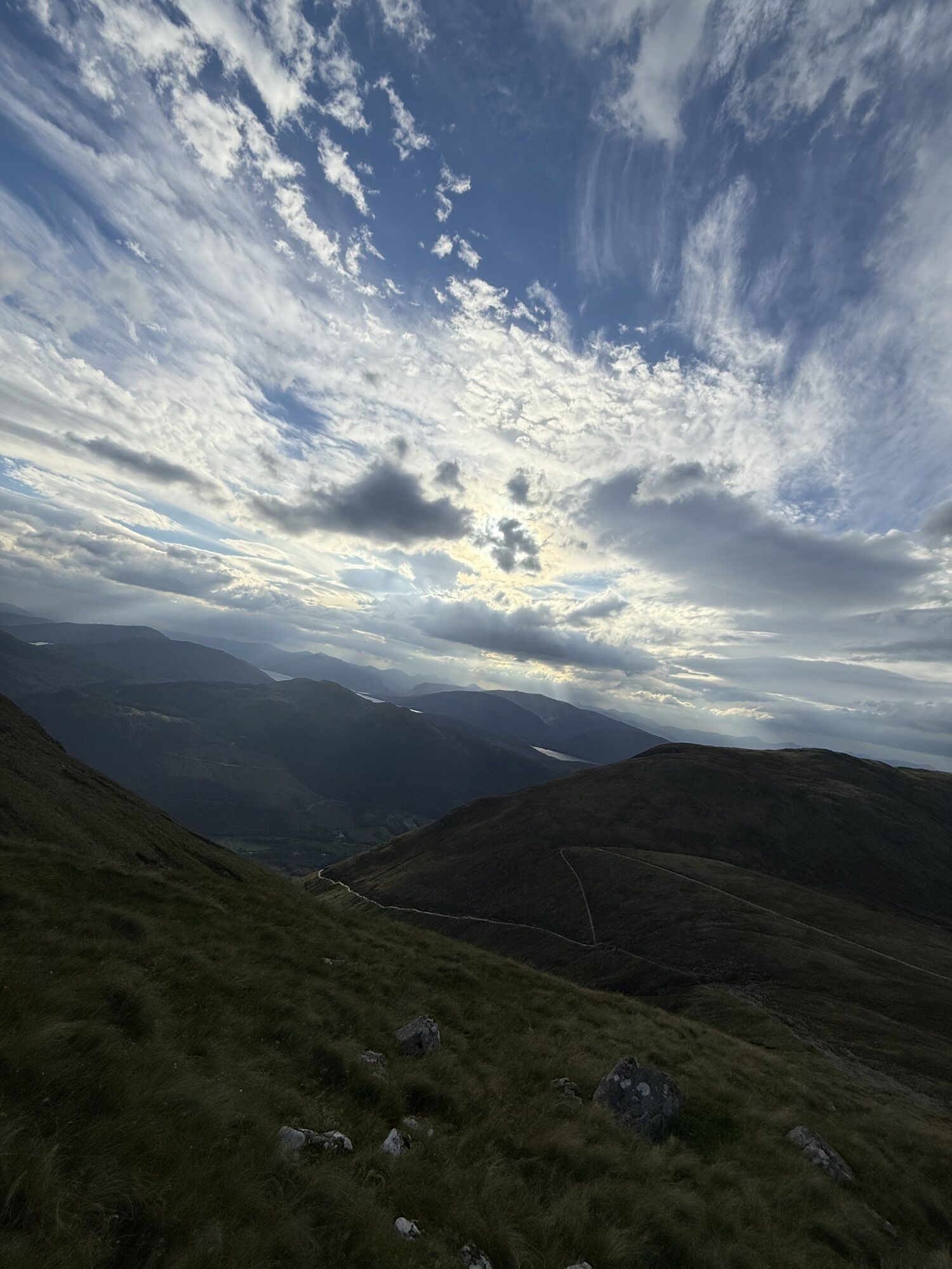
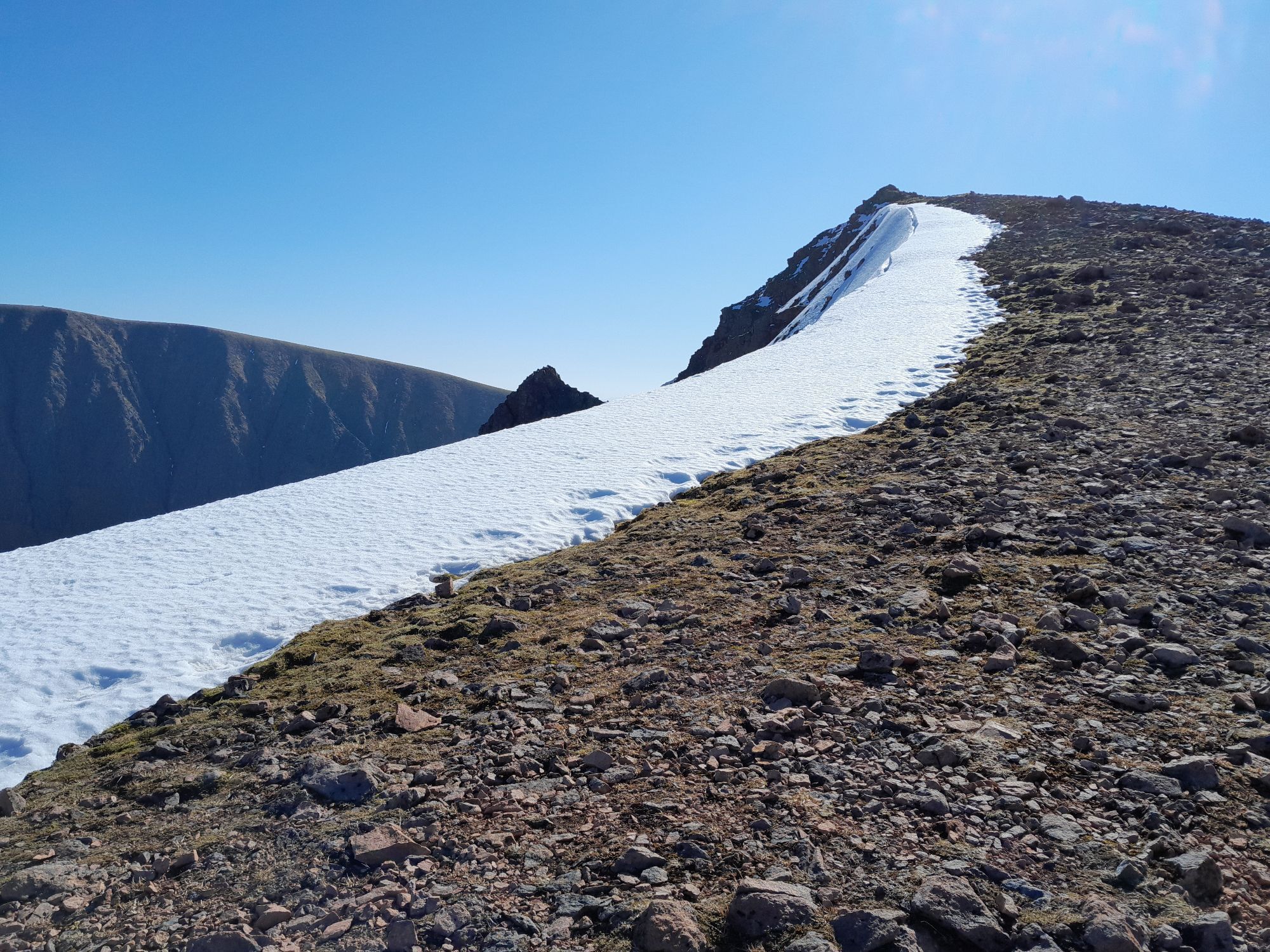
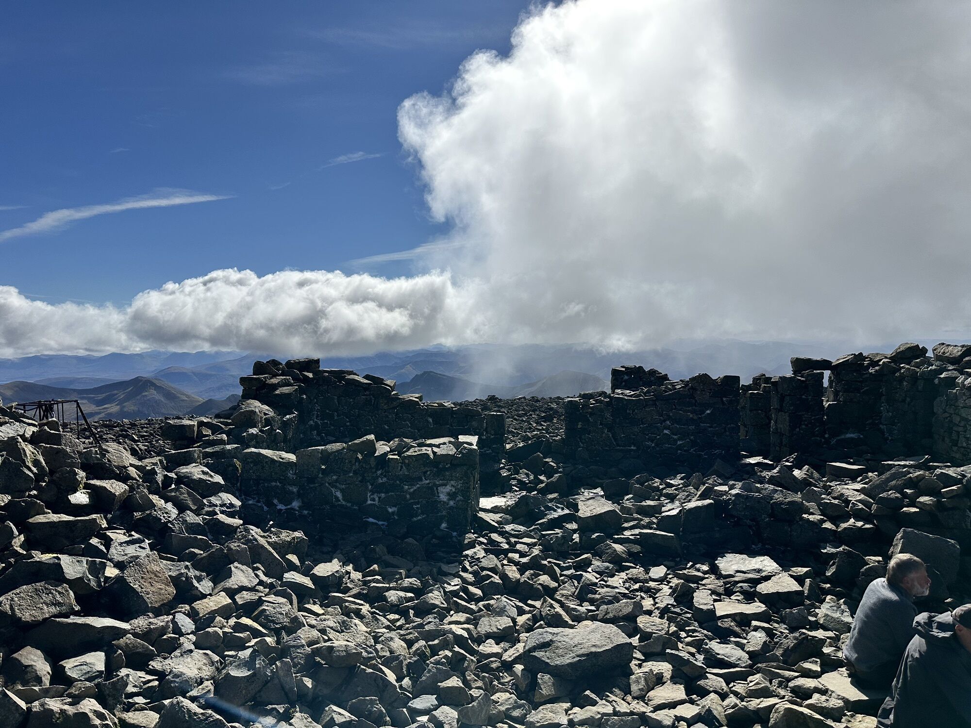
In September there were some peak snowfields. Don't forget having warm clothes (gloves etc.) with you. Always observe the sky. The ridge is not recommended to do during heavy wind or rain.
Please don't litter and stay on the path.
Overnight parking at North Face Park is not allowed, but there's a campsite (Glen Yurtis) near.
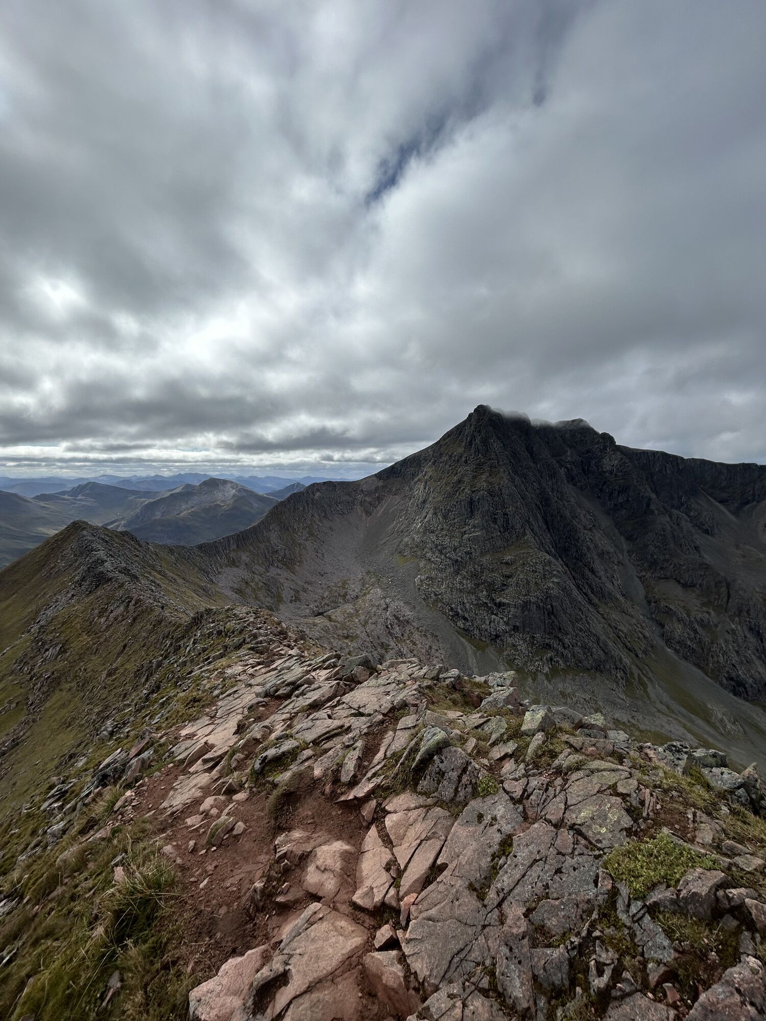
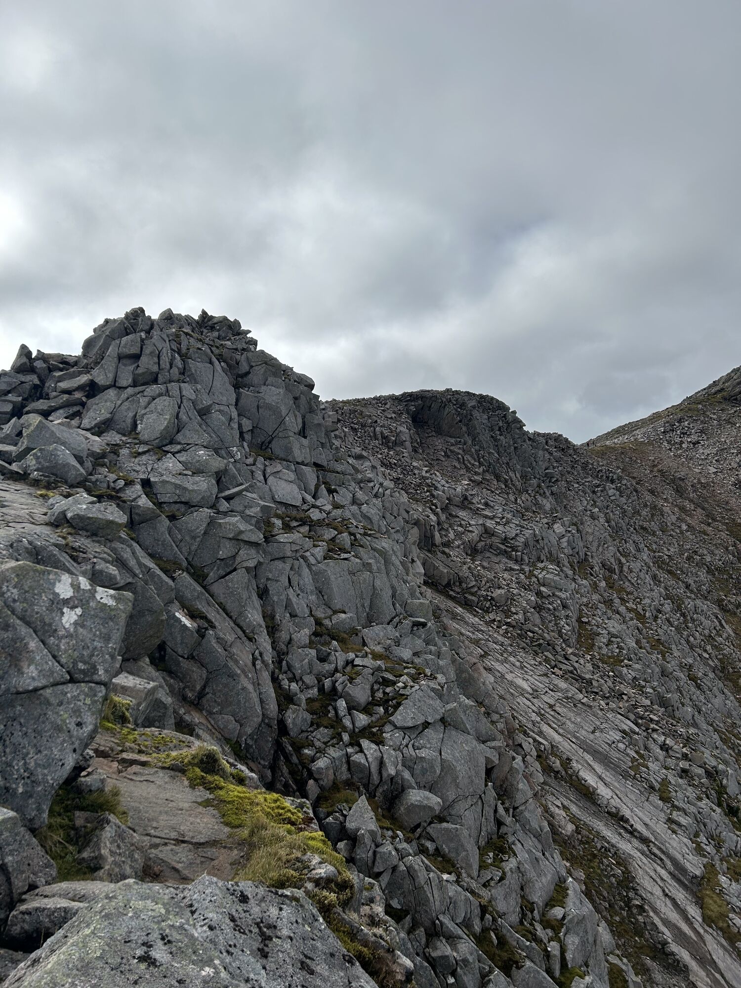

Hard climb, sometimes it's required using hands for passing the ridge to Ben Nevis. You should be in shape and having no fear of heights. In some cases experience in alpin hiking can be useful.
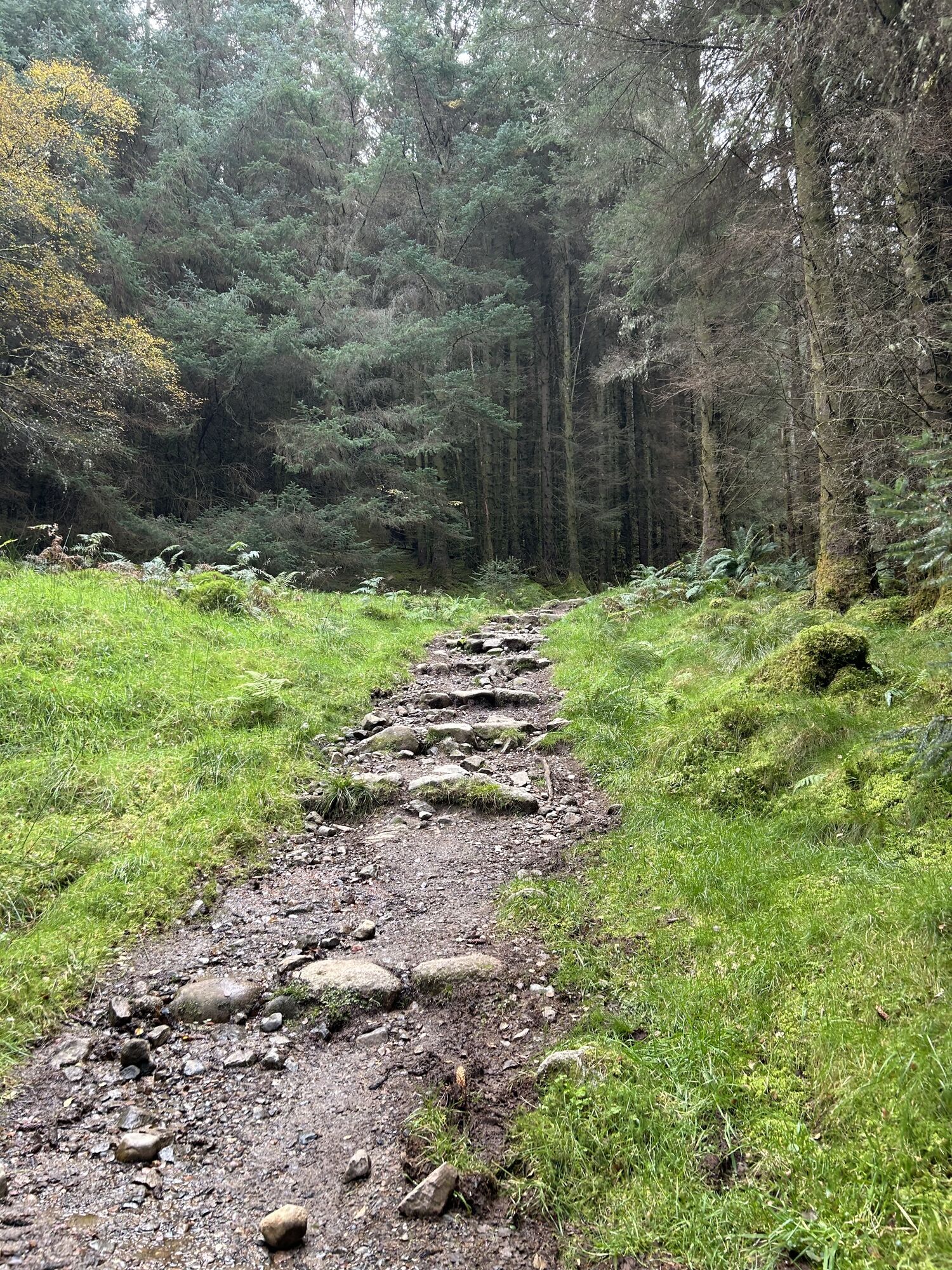
Descent on main touristic path, easy to walk, but crowded. You're leaving the busy part of the trek soon. It's getting soaky.
In September there were some peak snowfields. Don't forget having warm clothes (gloves etc.) with you.
Tak
Tak
Tak
Tak
North Face Parking.


Popularne wycieczki w okolicy
- 4,6
Steal Waterfall | Longer loop
światłoWędrówka 10 km - 4,2
Glen Nevis - Achintee - Ben Nevis - Gardyloo Gully
ciężkiWędrówka 16,4 km - 4,3
Kingshouse Hotel - Stob Mhic Mhartuin - Kinlochmore - Kinlochleven
średniWędrówka 15,9 km - 5,0
Highland - Tigh an Steill - Glen Nevis Cable Bridge - Steall Falls
średniWędrówka 4,05 km Claggan - Glen Nevis - Ben Nevis - Glen Nevis Restaurant & Bar
ciężkiWędrówka 20,7 kmGlen Nevis - Ben Nevis - St Mary's R.C. Church - An Aird
ciężkiWędrówka 19,7 kmKingshouse Hotel - The Good Sheperd - Tailrace Inn - free church of scotland
ciężkiMountainbike 40,4 kmCruach Innse
światłoWycieczki górskie 12,0 kmFort William, Schottland/Vereinigtes Königreich
Wędrówka 8,35 kmHighland - Tigh an Steill - Luib Shonnachain
średniWędrówka 5,41 km
Wędrówki i tropienie


Nie przegap ofert i inspiracji na następne wakacje
Twój adres e-mail została dodana do listy mailingowej.





