


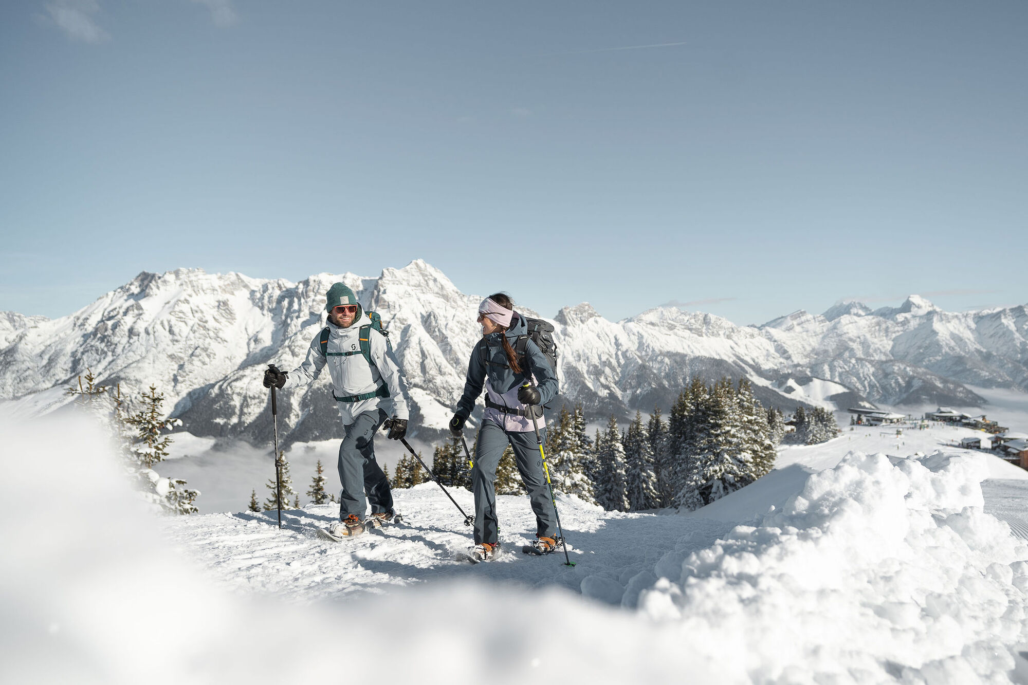
Asitz winter hiking trail
Poziom trudności: 1
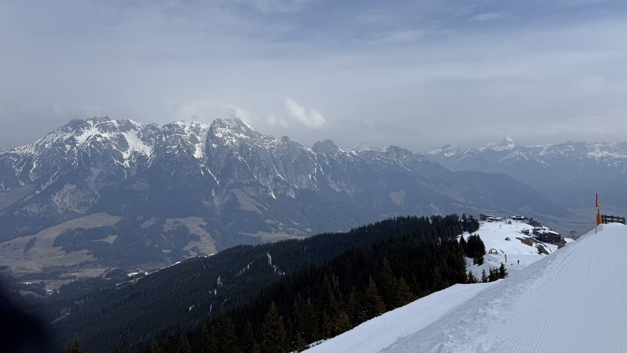
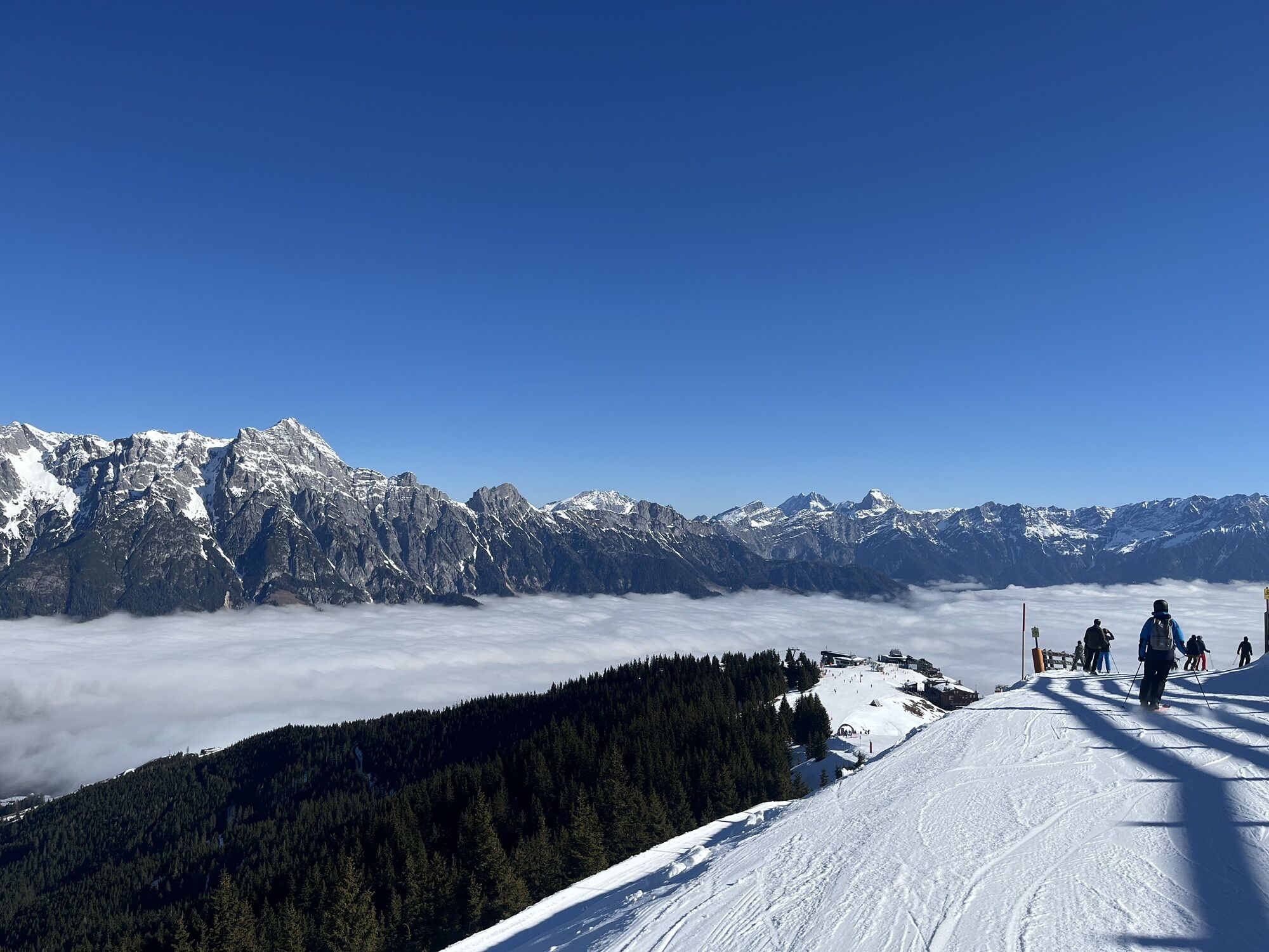
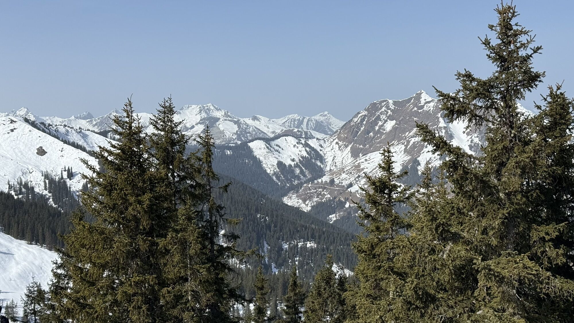
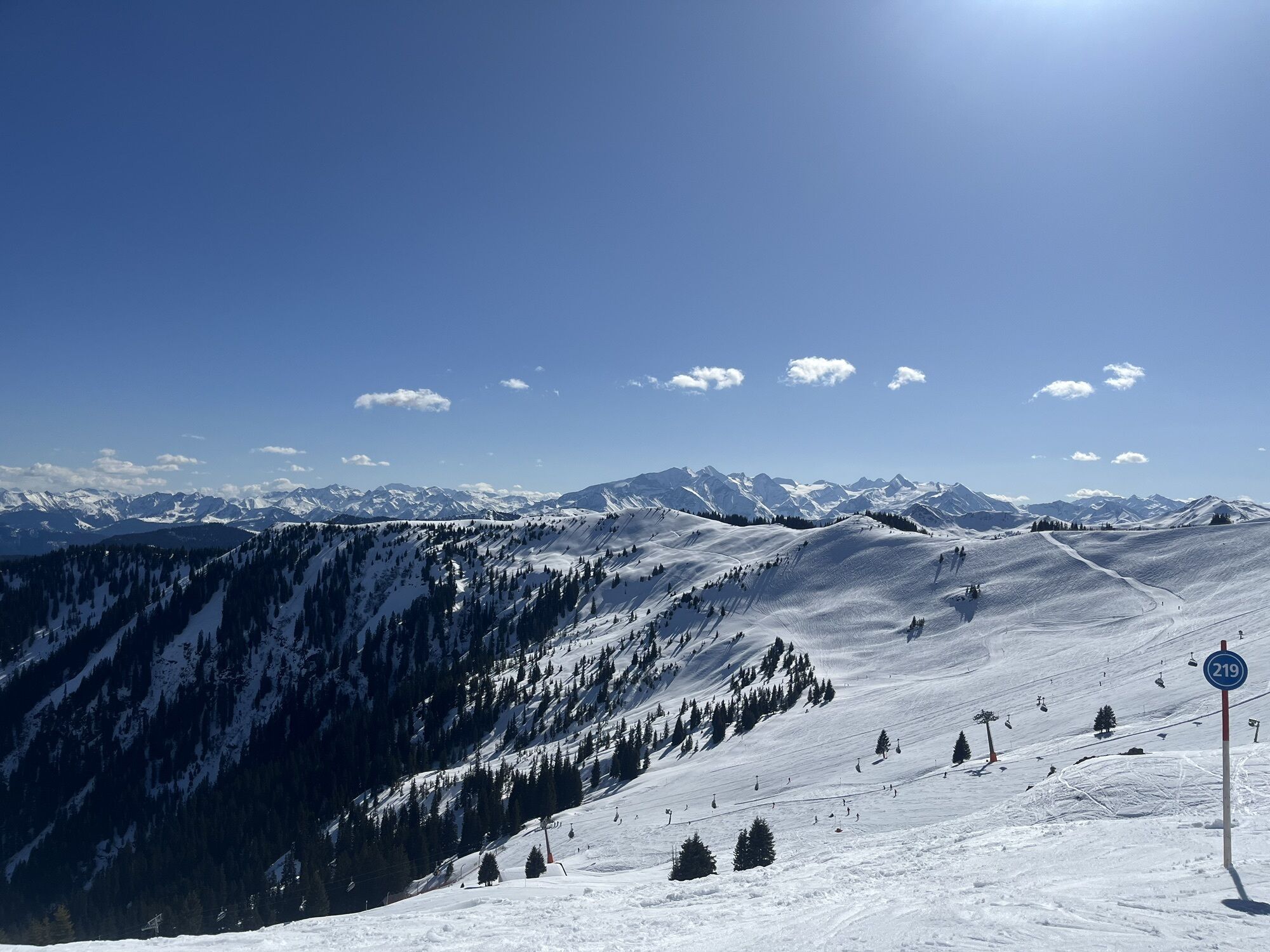
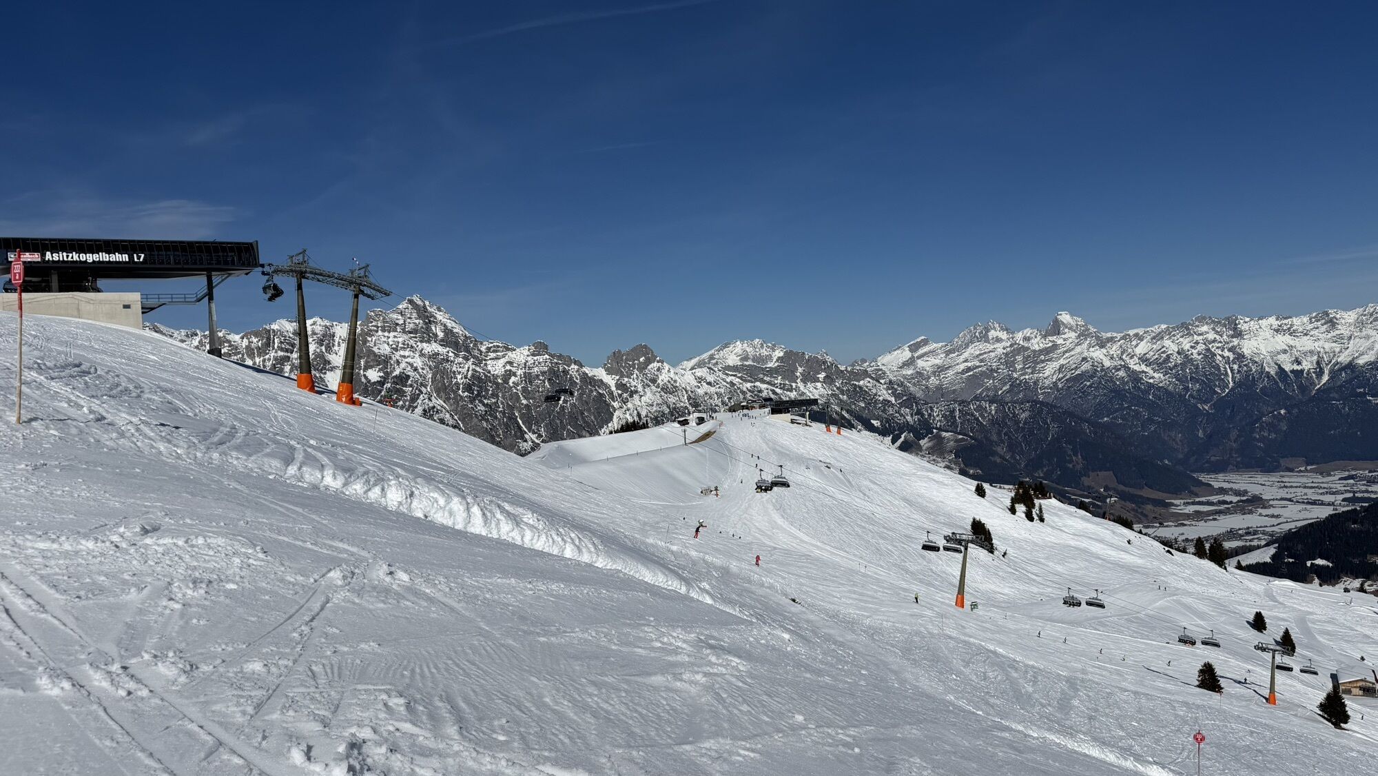
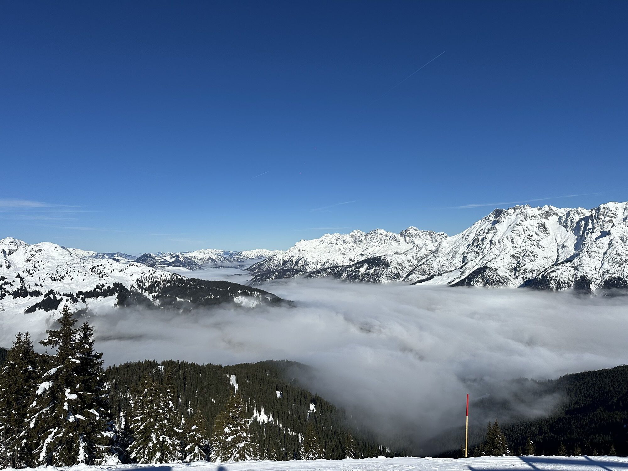
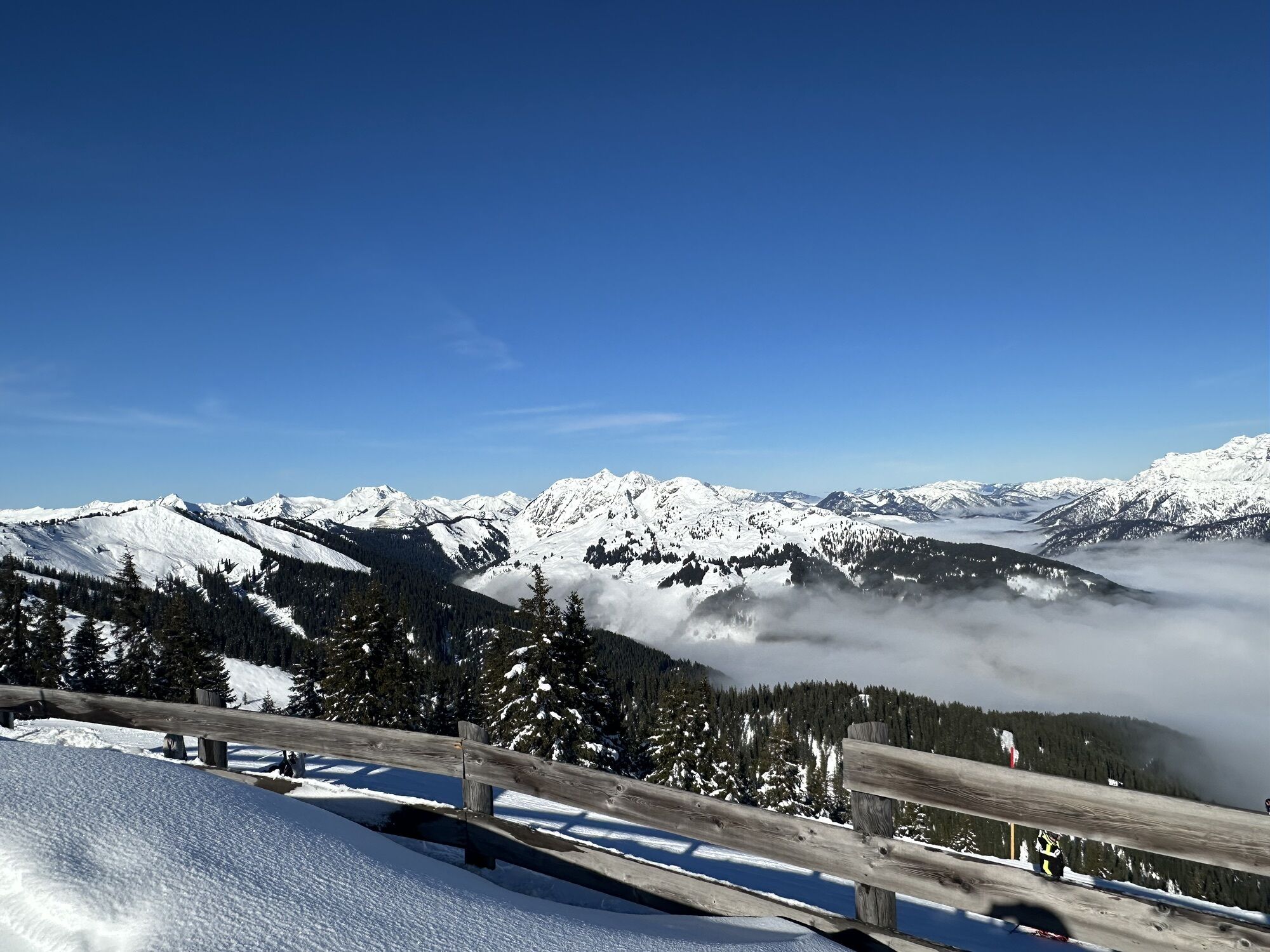
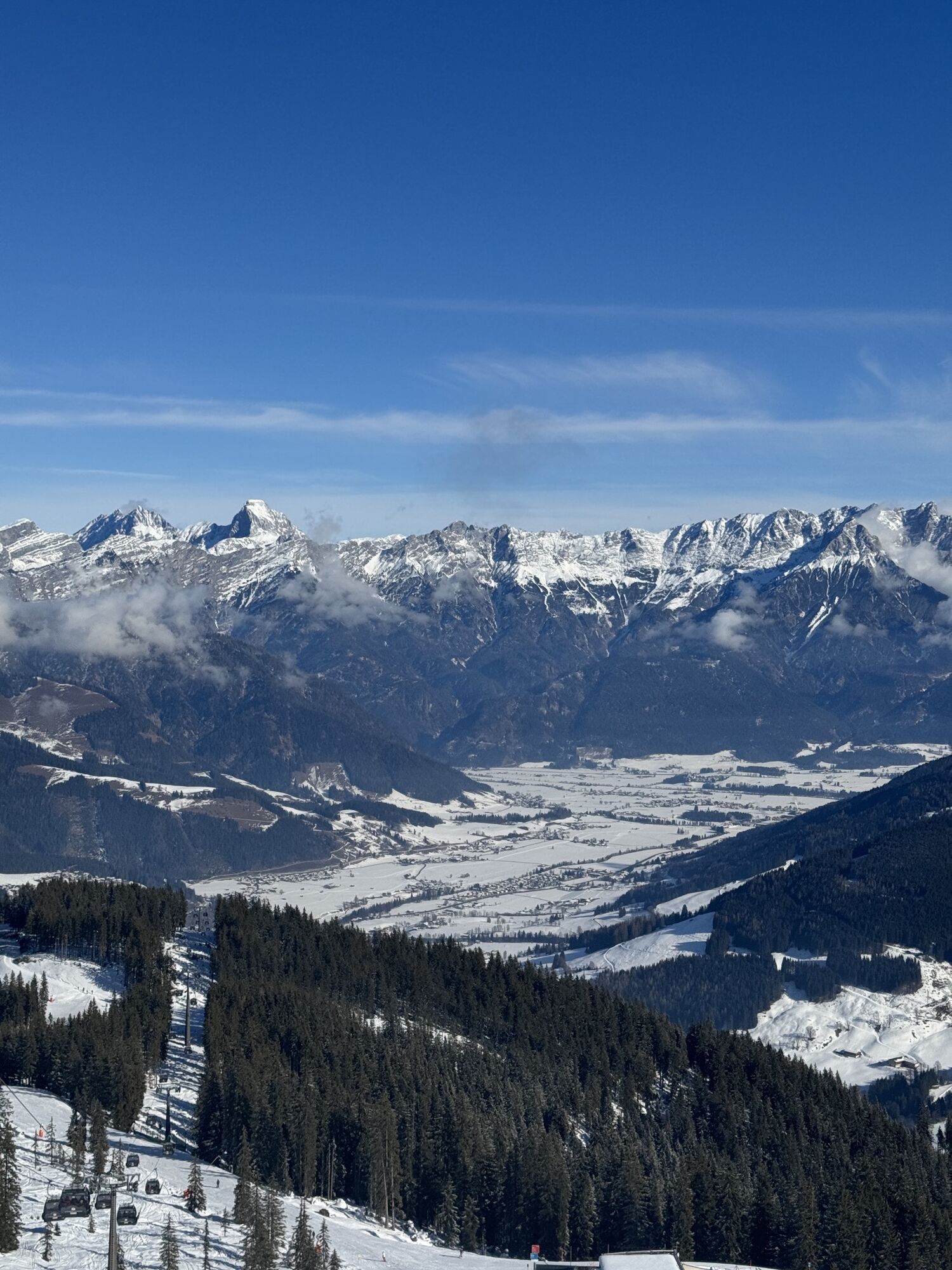
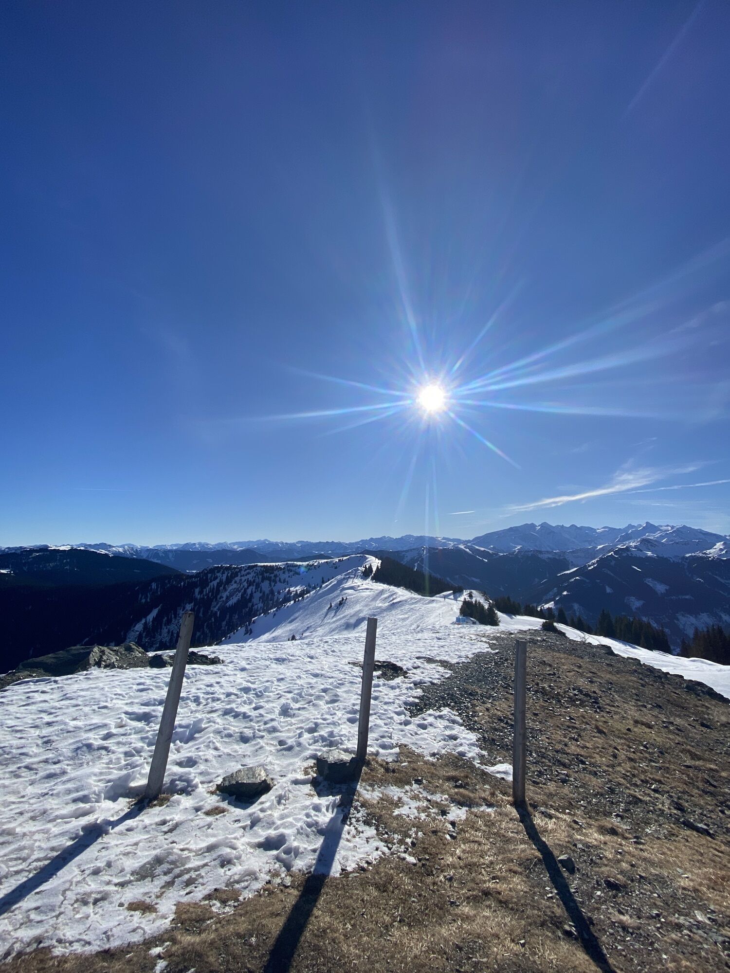
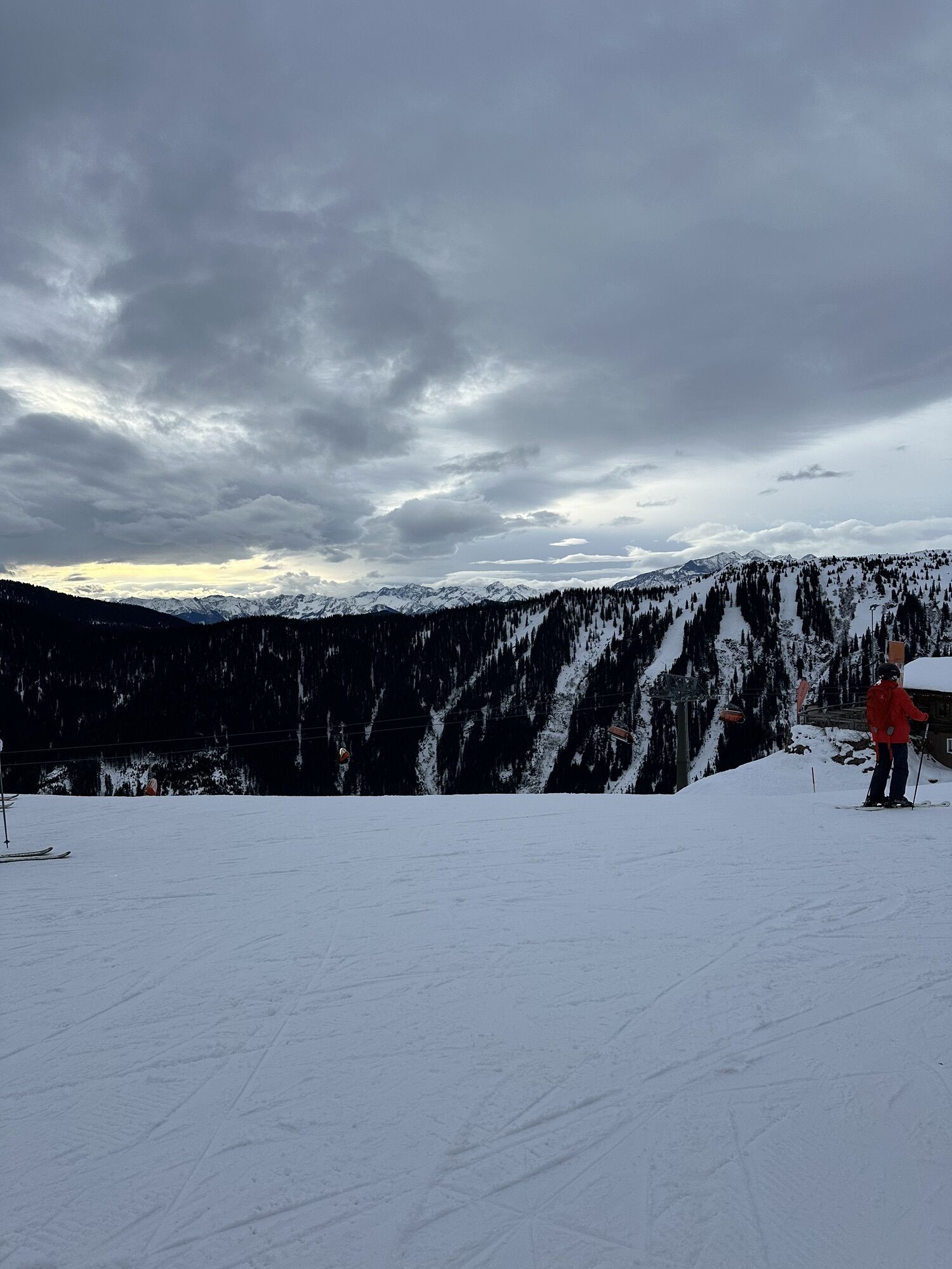
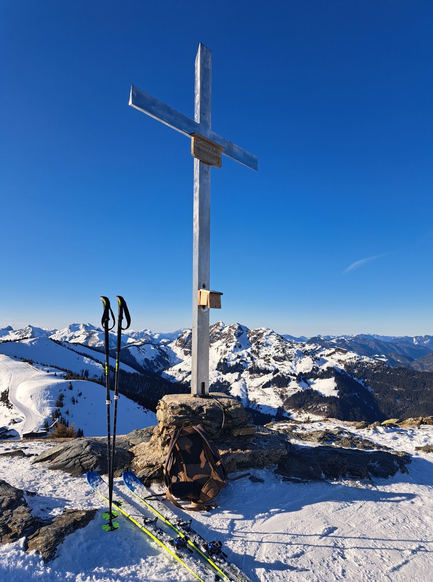
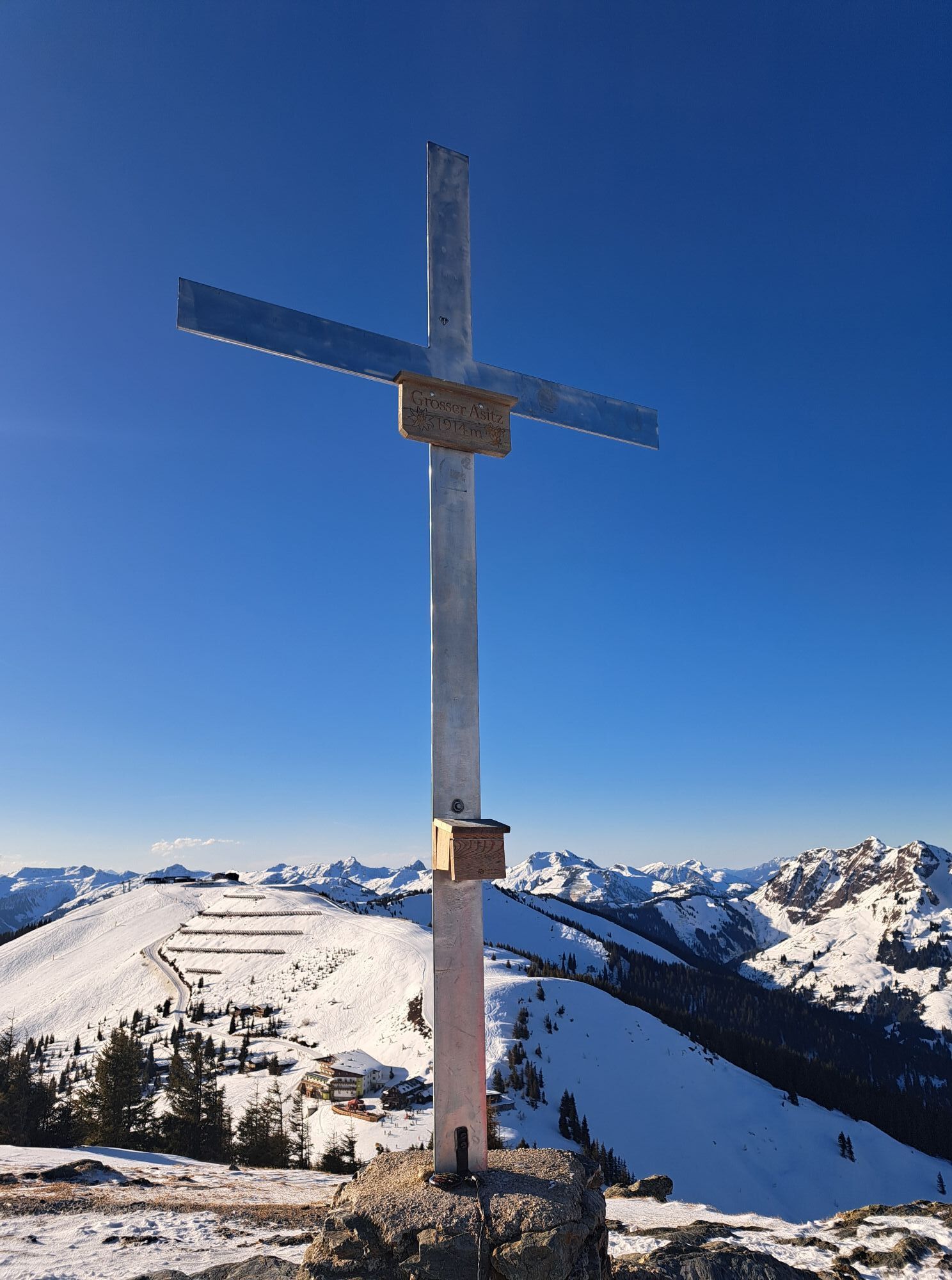
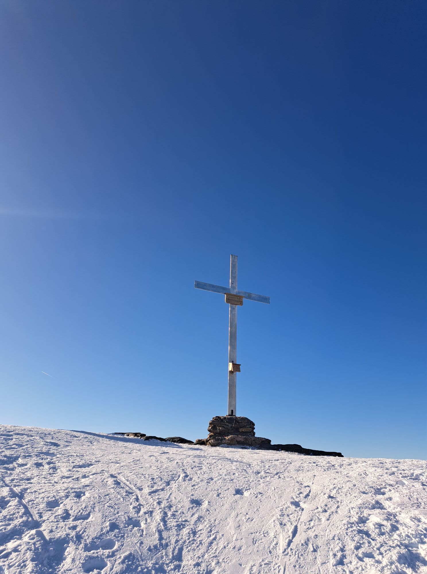
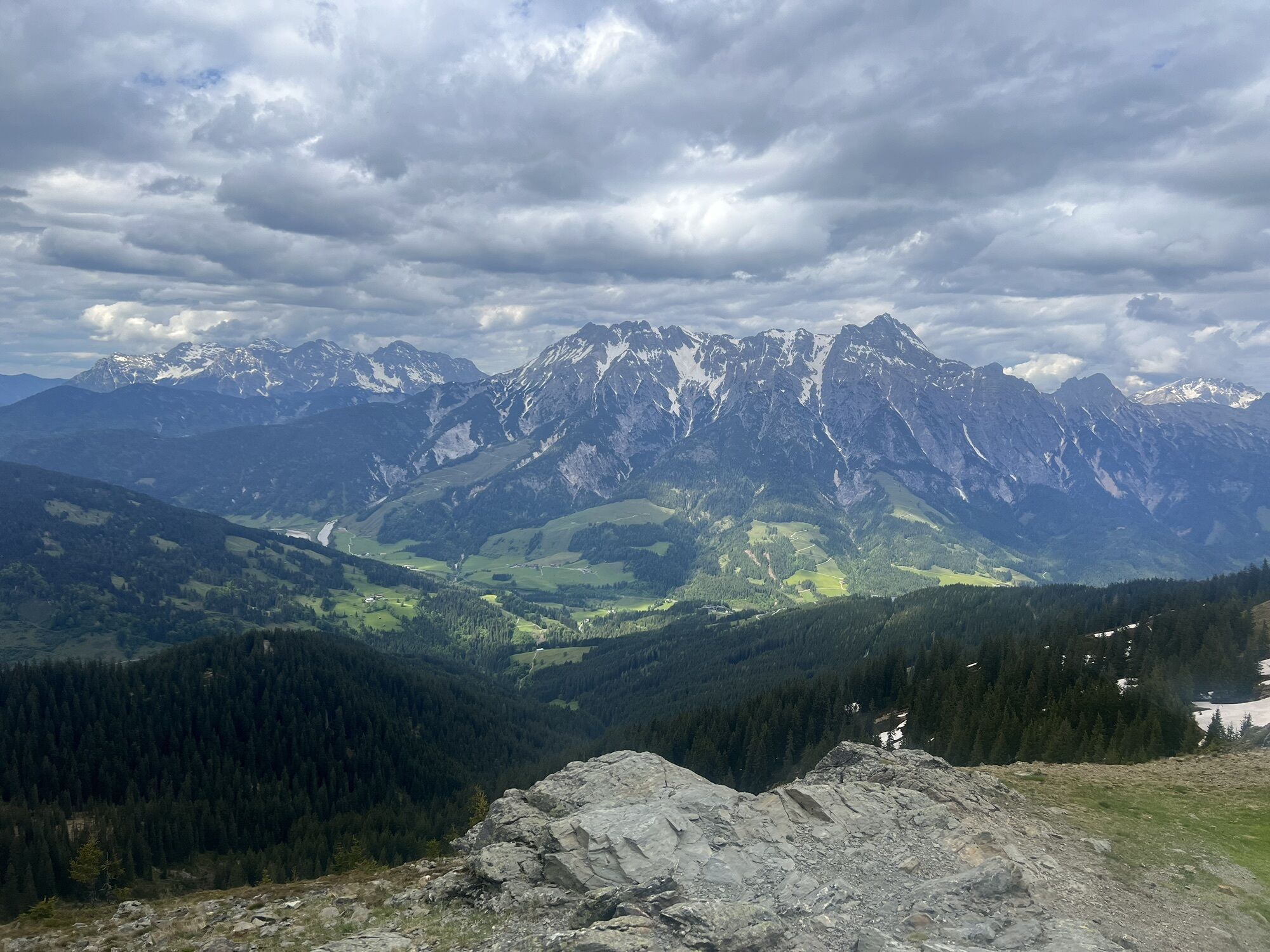
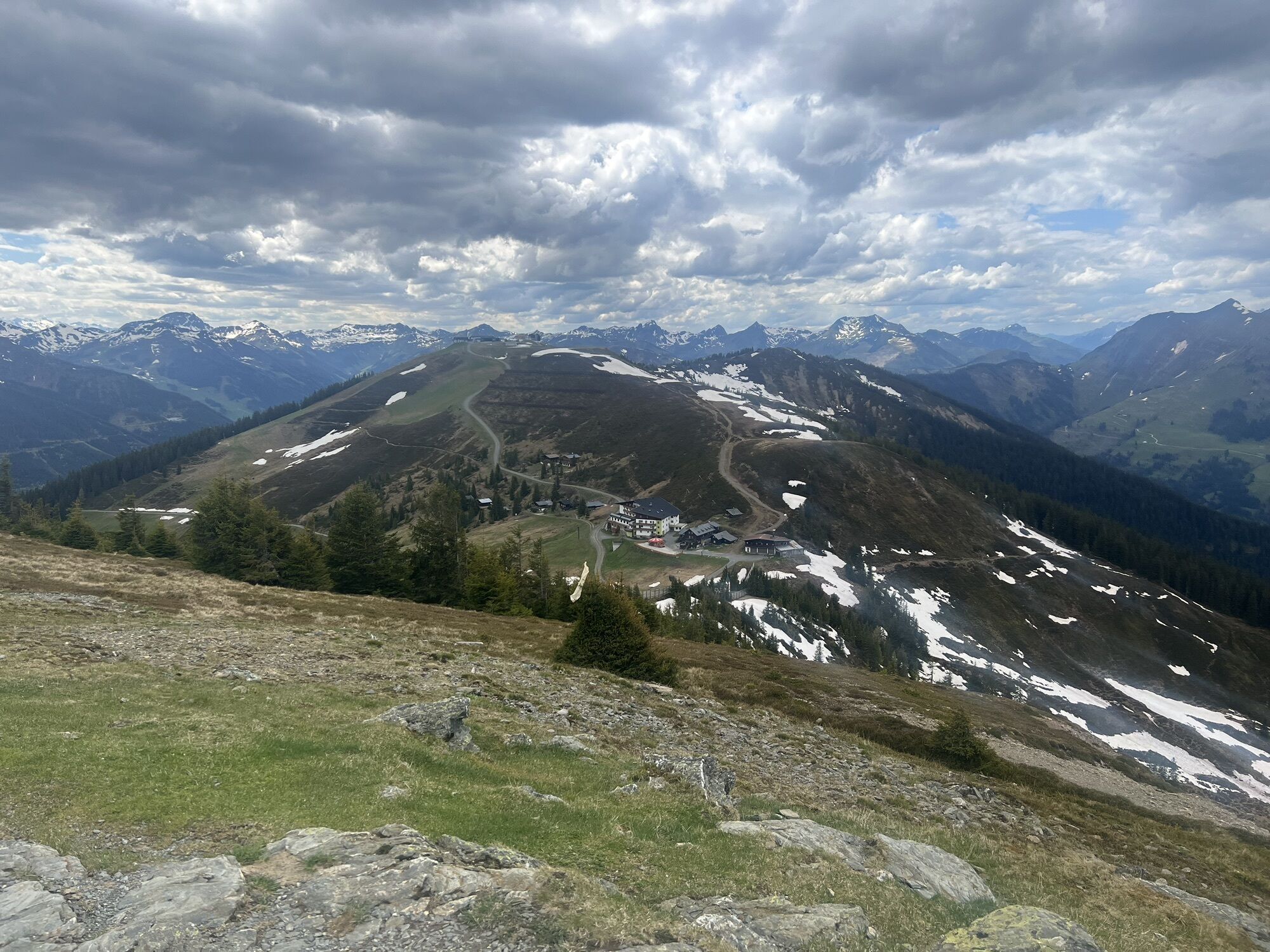
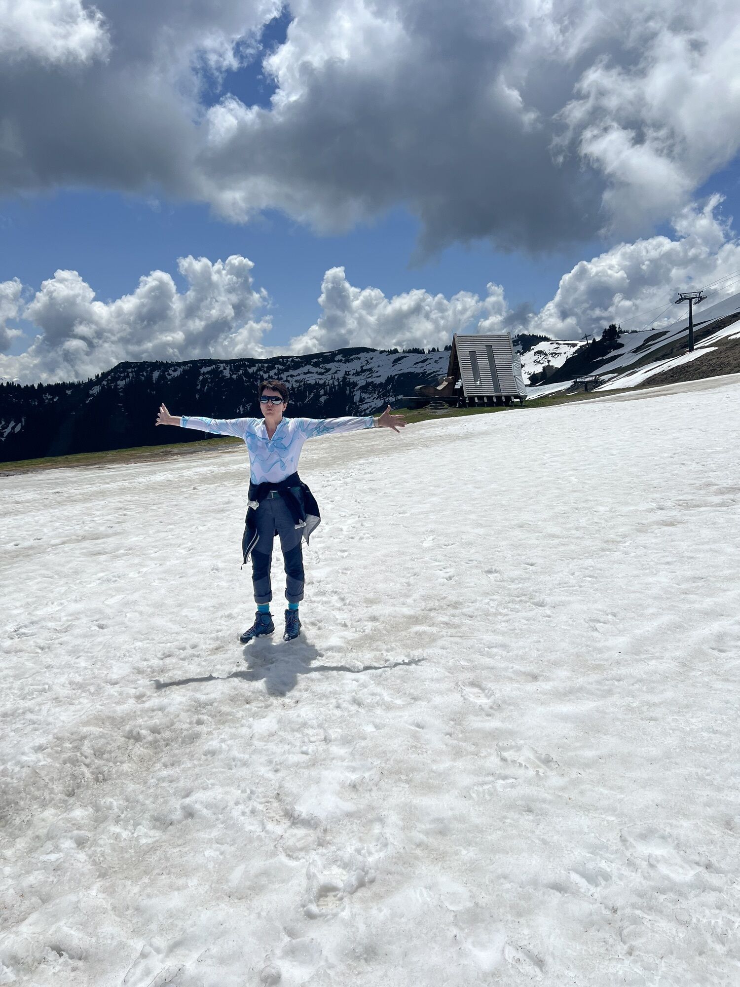
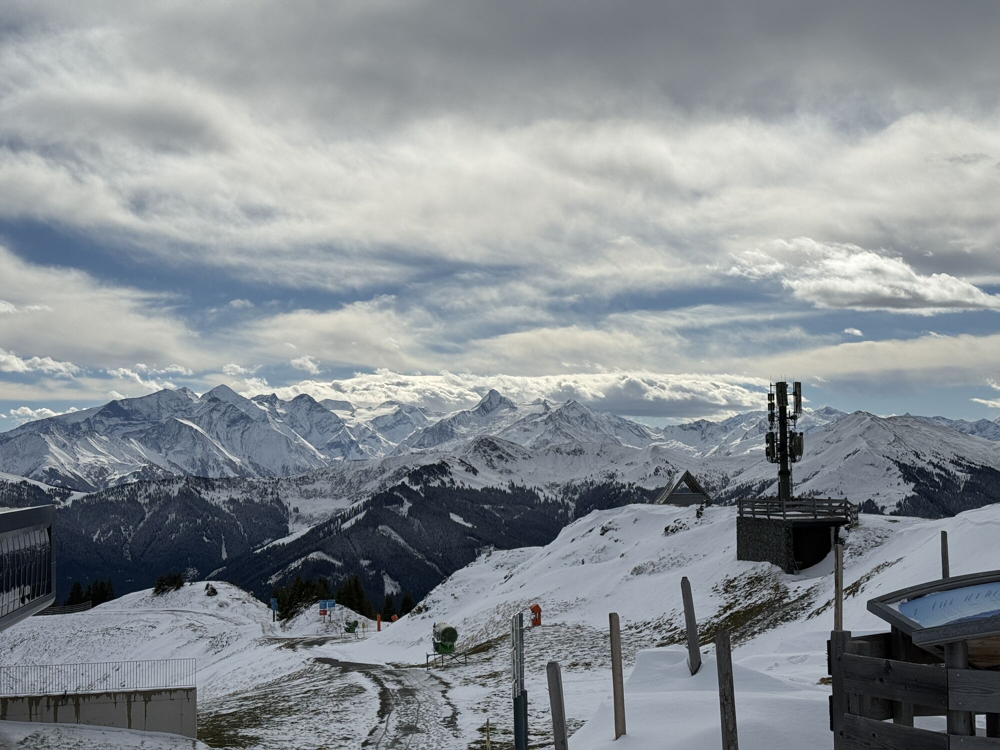
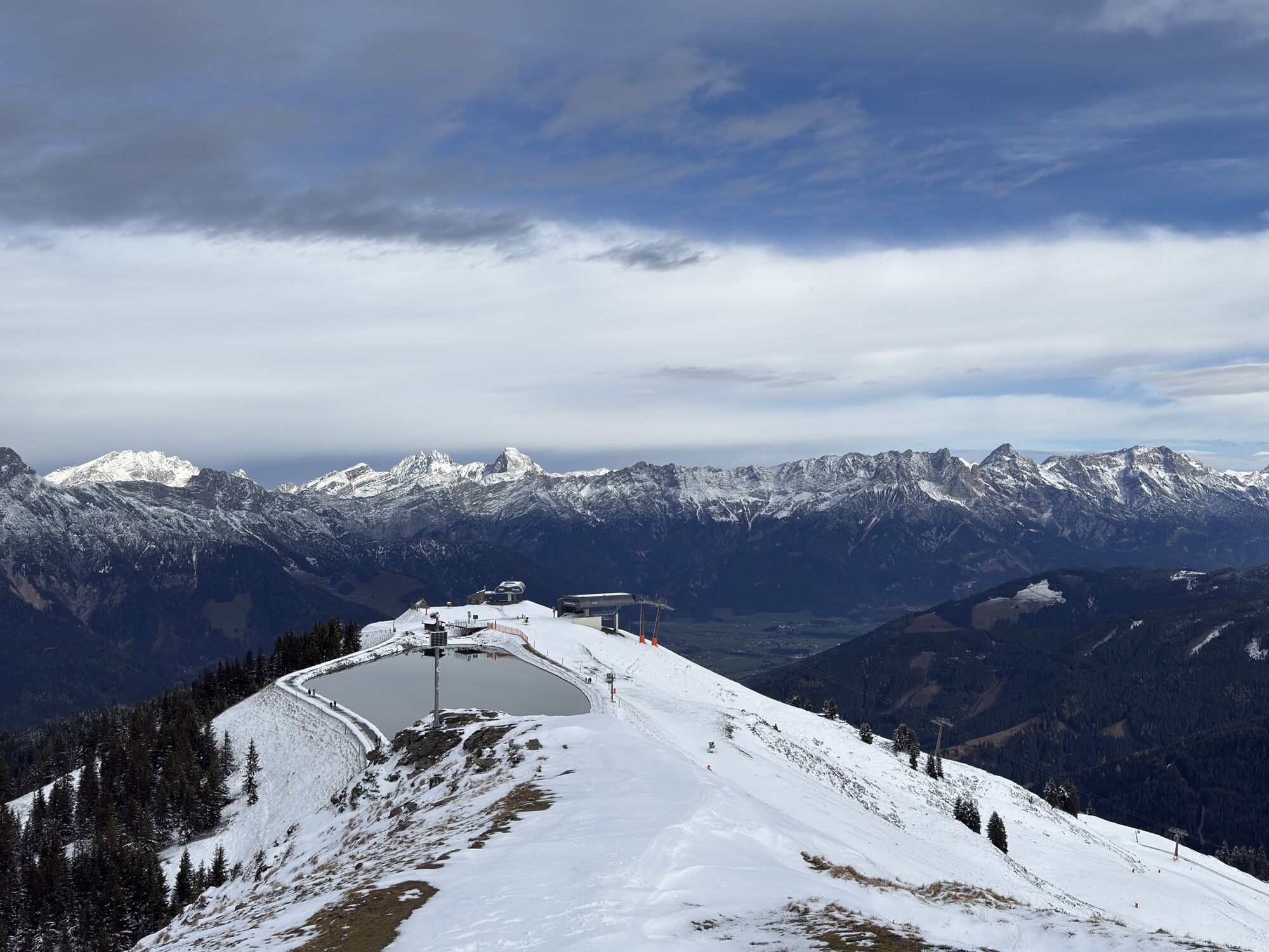
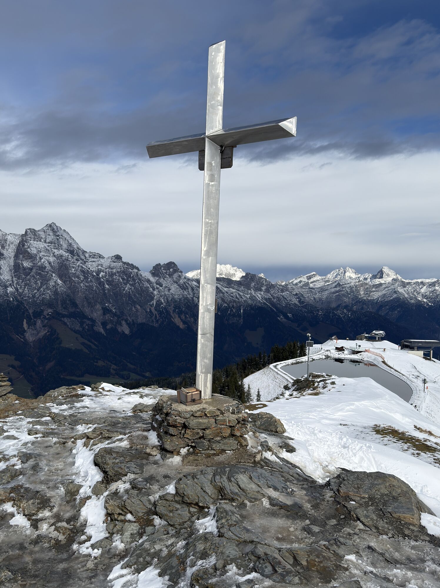
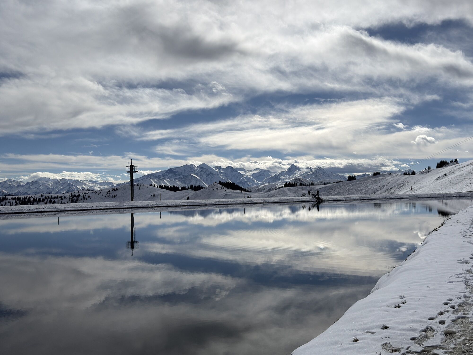

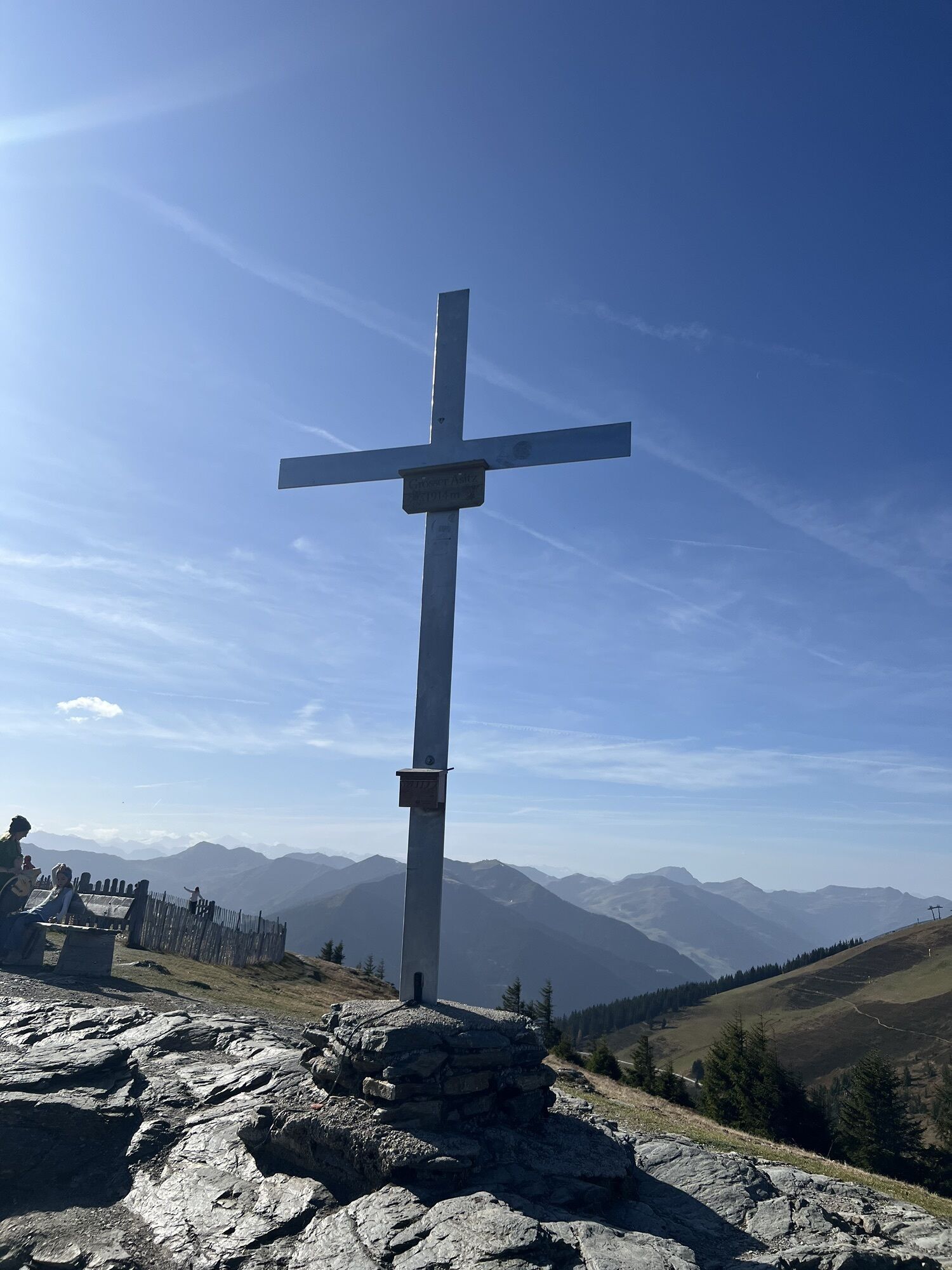


This easy winter hike on the Asitz guarantees an endless view over the snow-covered peaks of the surrounding mountain world.
Tip: Get the sun card for hikers and make your day perfect. Information about...
Tip: Get the sun card for hikers and make your day perfect. Information about the sun card can be found here.

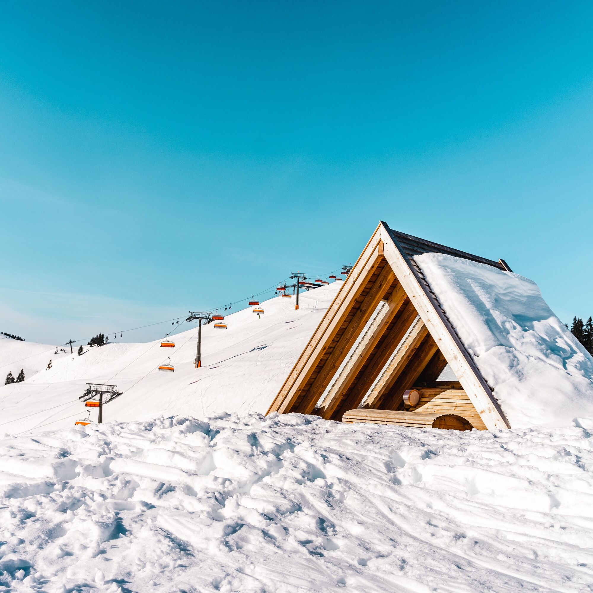
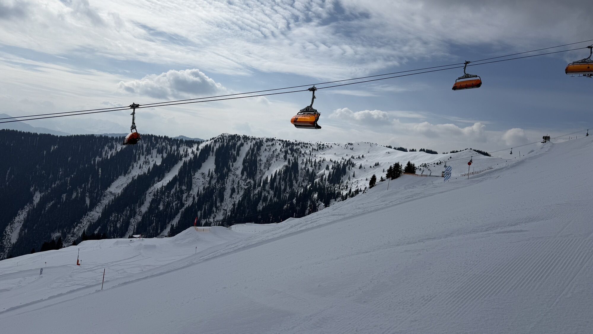
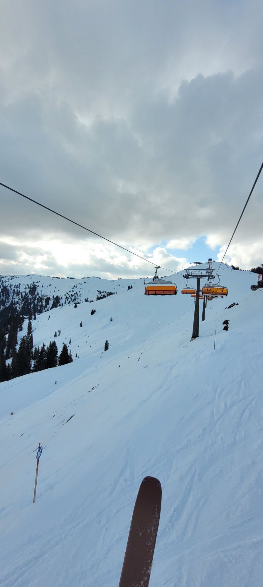
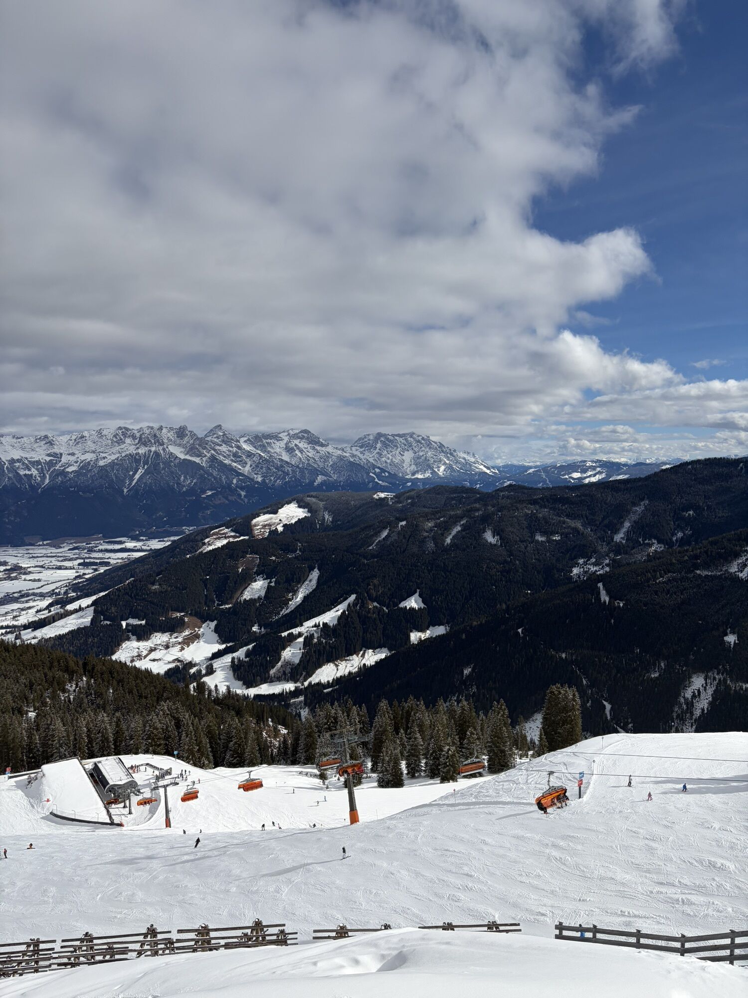
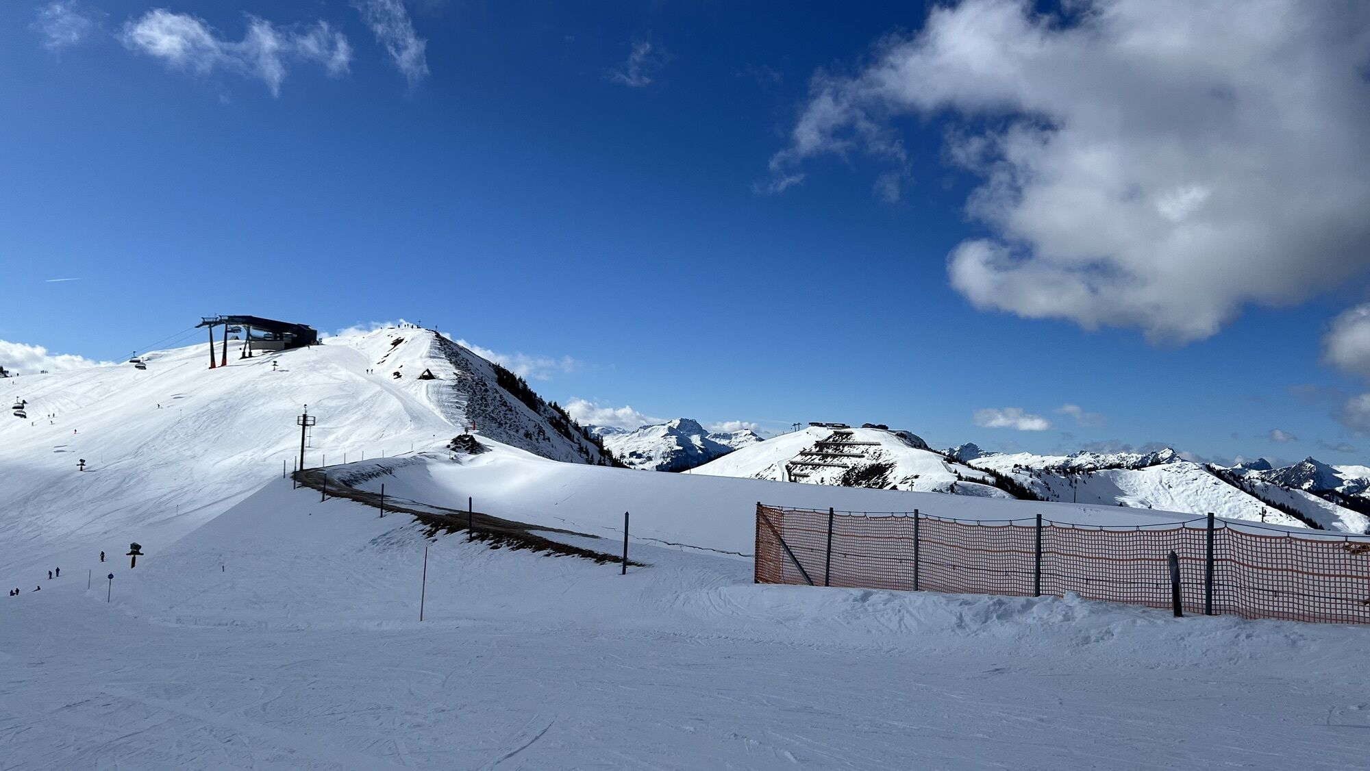
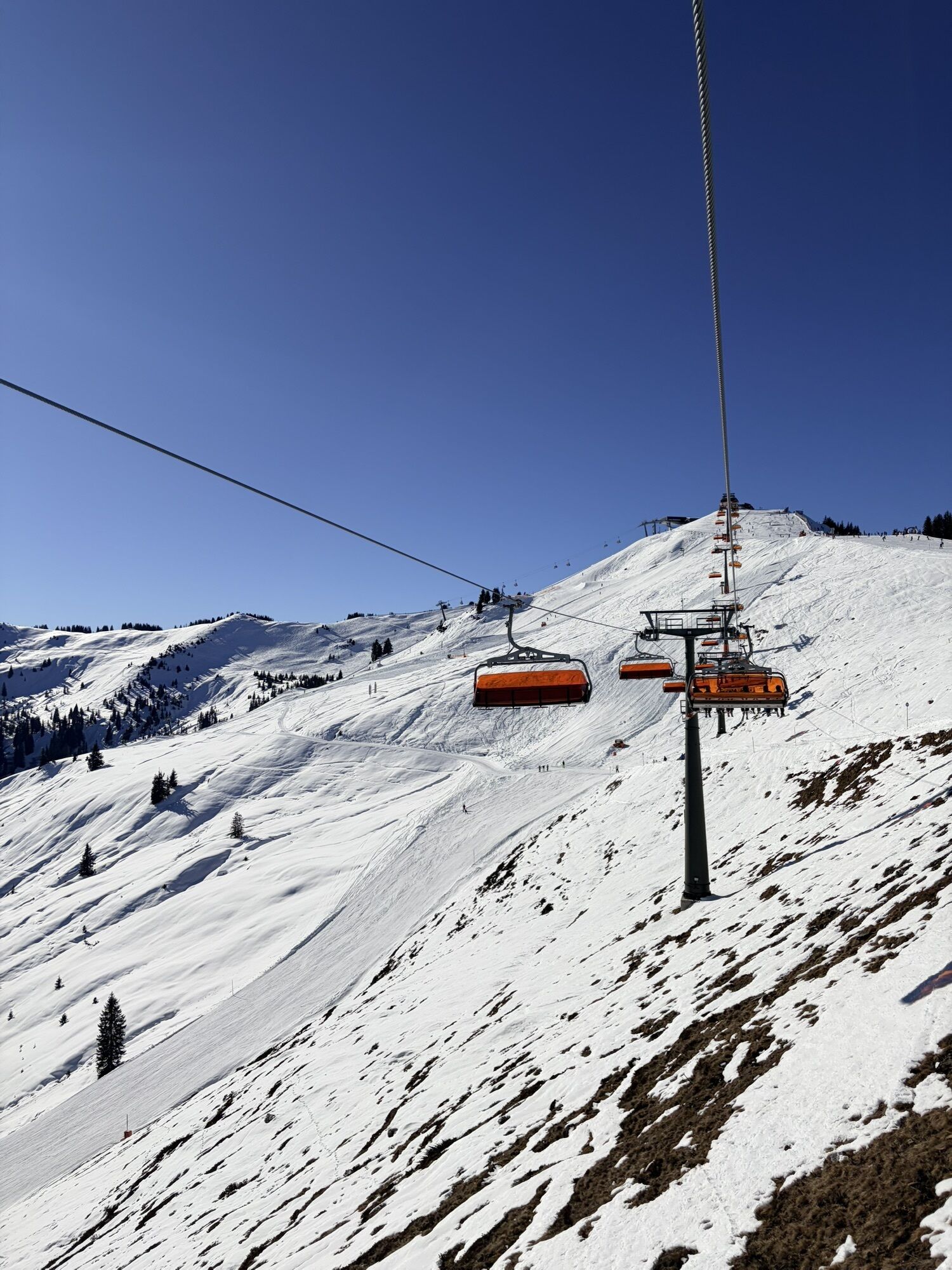
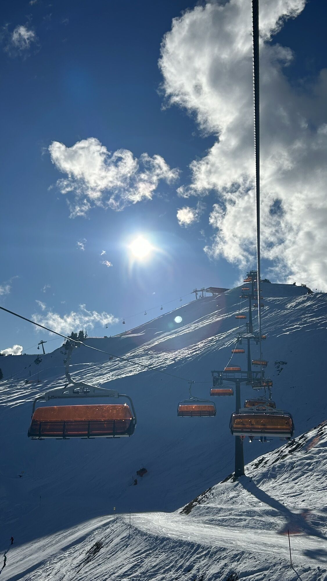
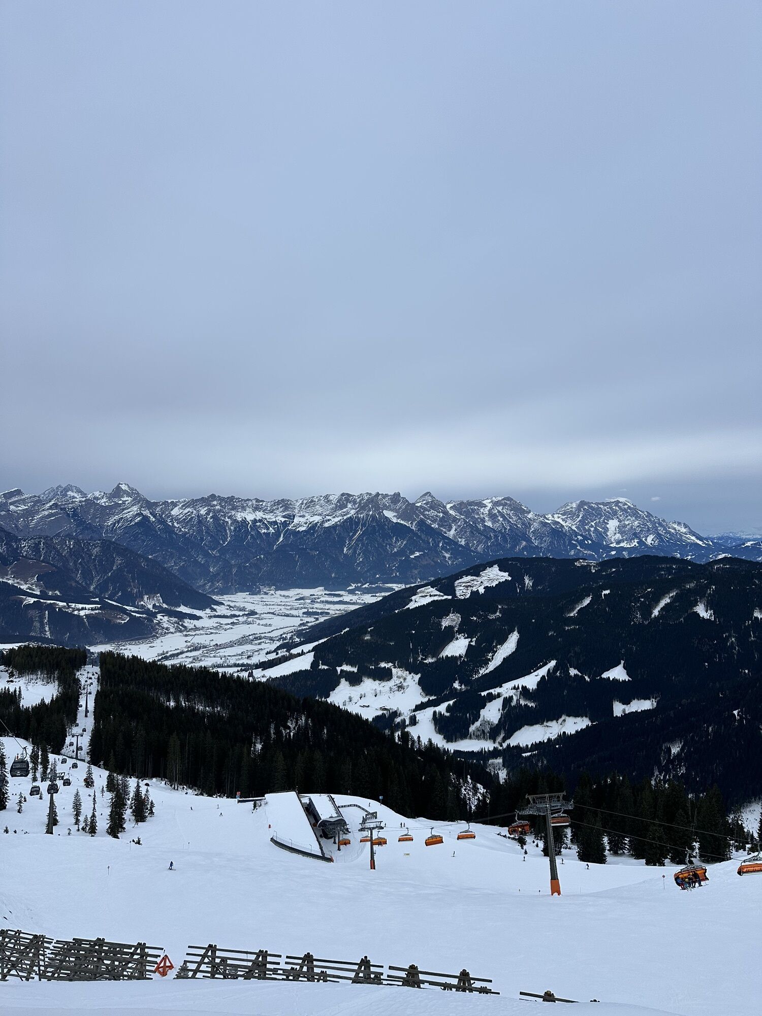
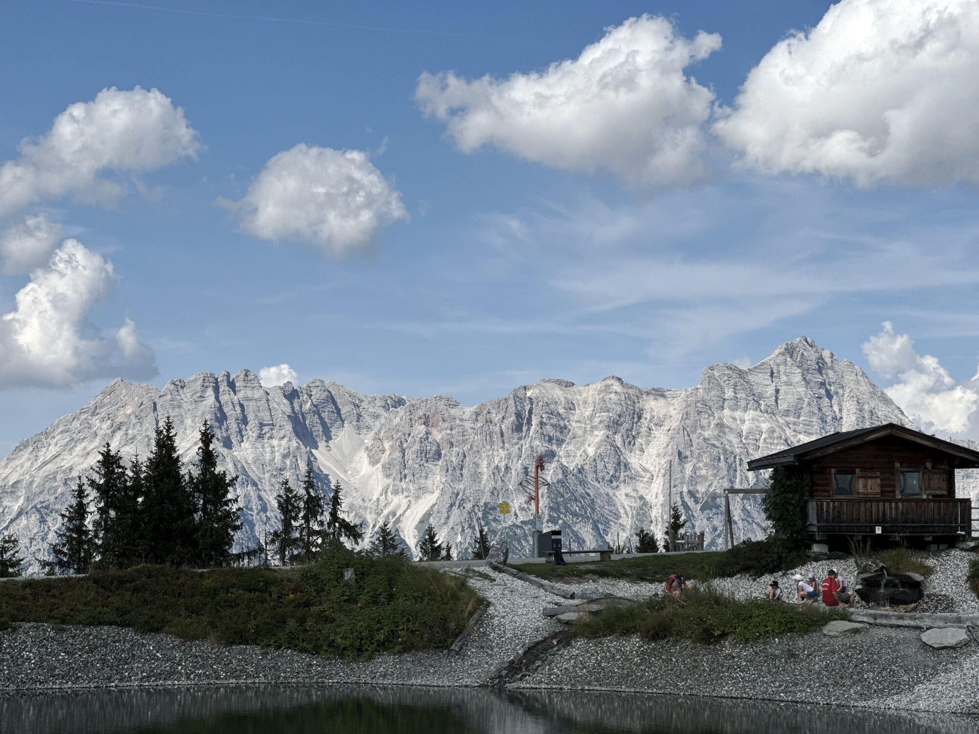
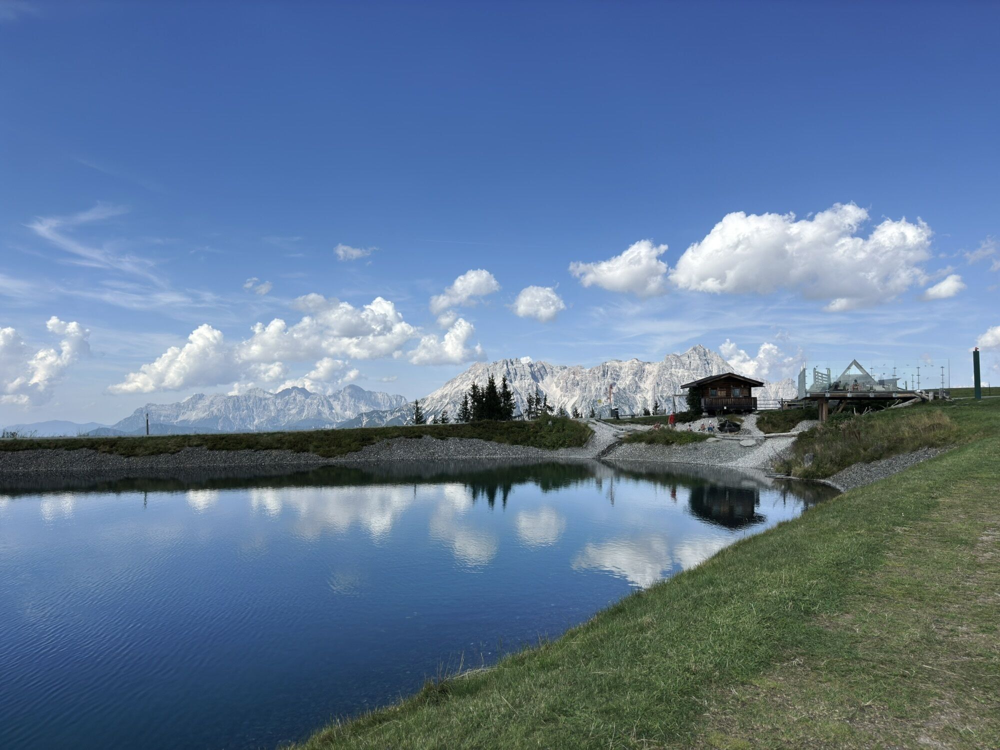
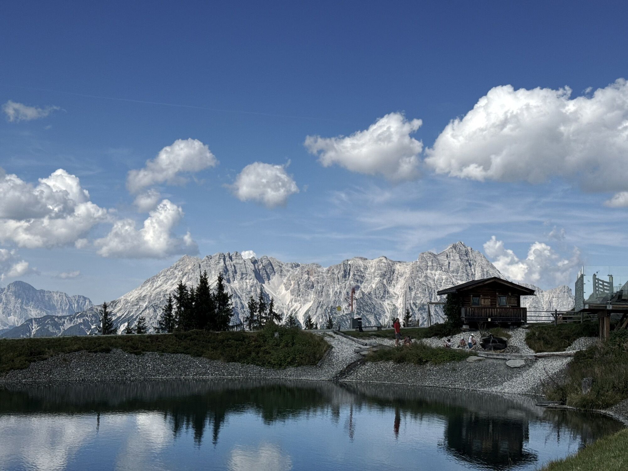
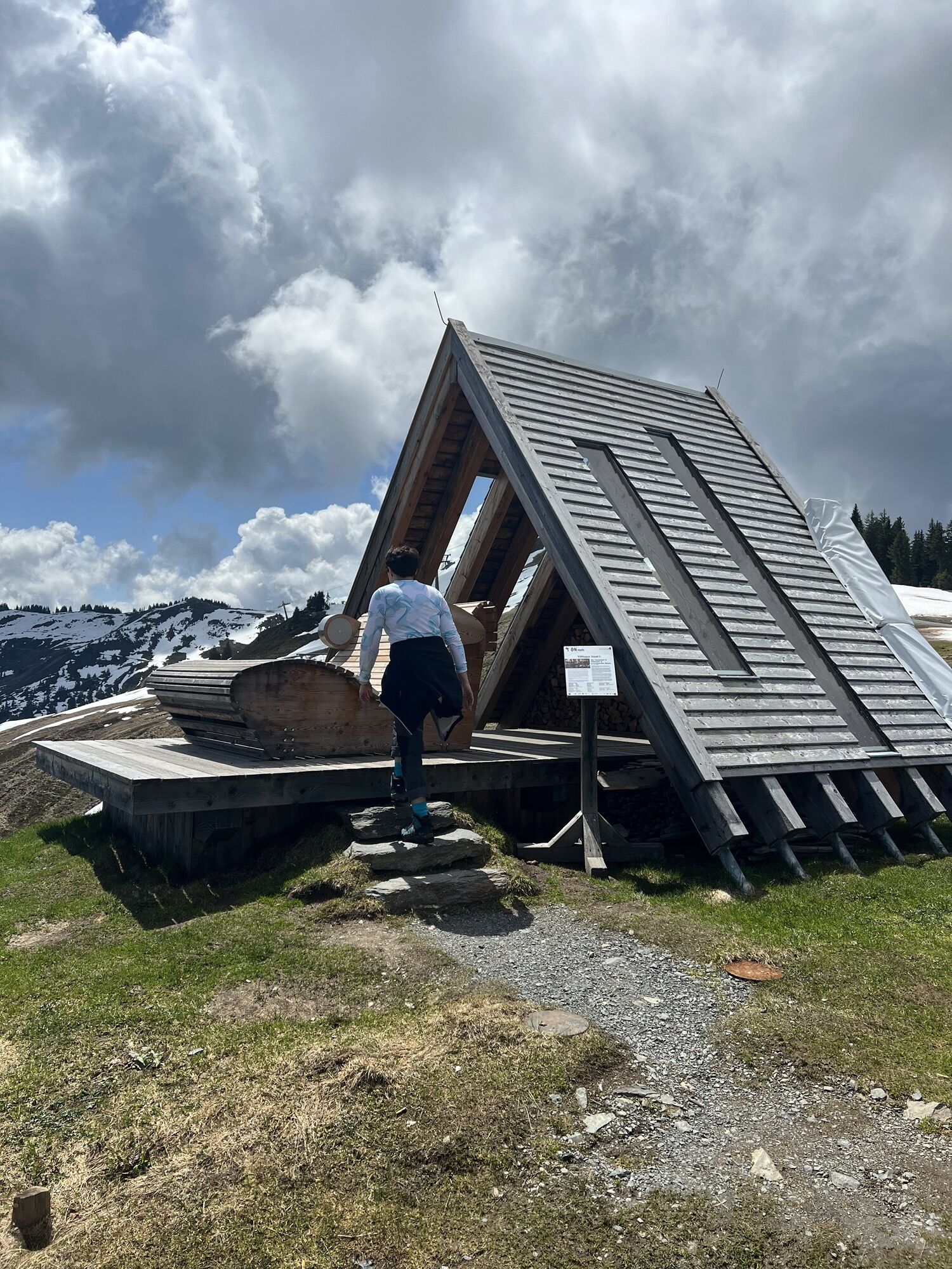
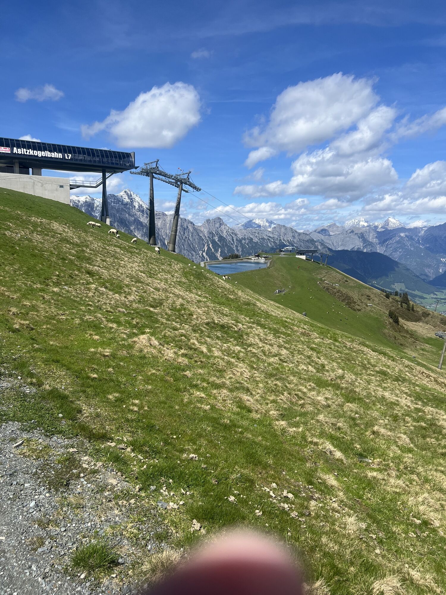
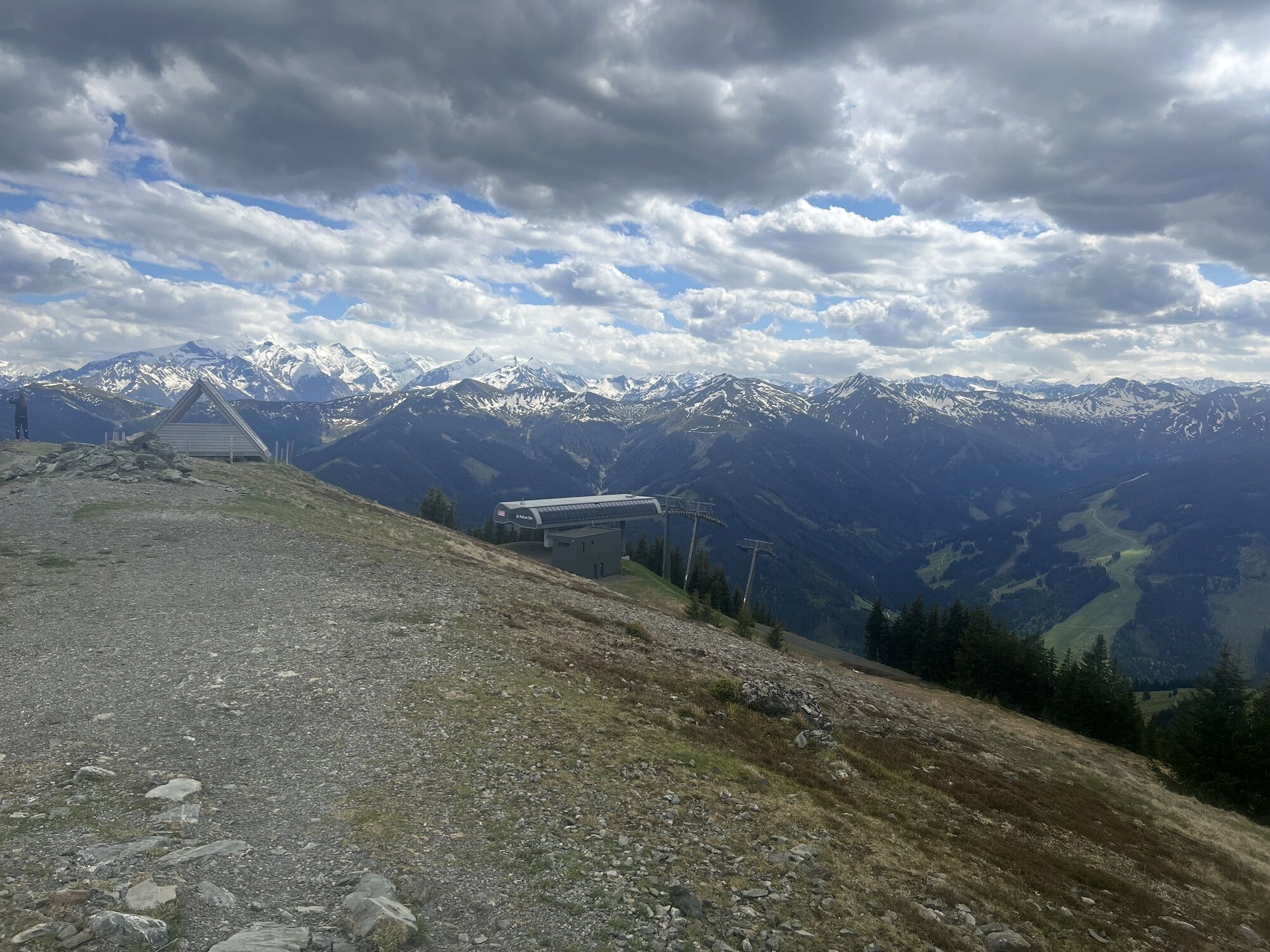
Float up with the Asitz or Steinberg cable car to 1760 m to the mountain station. Above the Alte Schmiede starts the winter hiking trail and runs parallel to the slope, past the Kleiner Asitz and on to the natural cinema at Sonnkogel. From there, it goes back to the mountain station.
Tak
Tak
BY CAR
From Saalfelden or St. Johann in Tirol via the B164 to Leogang. The valley station of the Asitz cable car is about 4 km from the town center in the direction of Hochfilzen.
BY TRAIN
You can enjoy your holiday from the very beginning by train. No traffic jams will stop you from coming to Saalfelden Leogang! Moreover, the ÖBB timetable quickly and easily helps you find the ideal train connection to Leogang station: www.oebb.at (about a 30-minute walk to the starting point)
BY BUS
The valley station of the Leoganger Asitz cable car can be reached by Postbus from the town centers of Saalfelden or Leogang. The bus stop "Leogang Asitzbahnen" is located directly at the cable car. Further information can be found at https://fahrplan.salzburg-verkehr.at/
Parking is available at the valley station of the Asitz cable car (Hütten 39, 5771 Leogang)
1
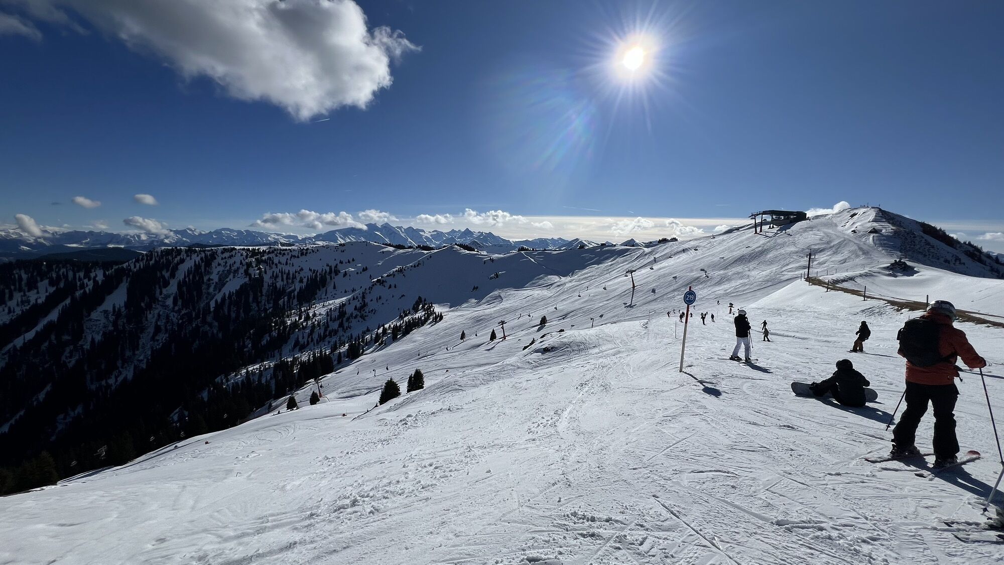
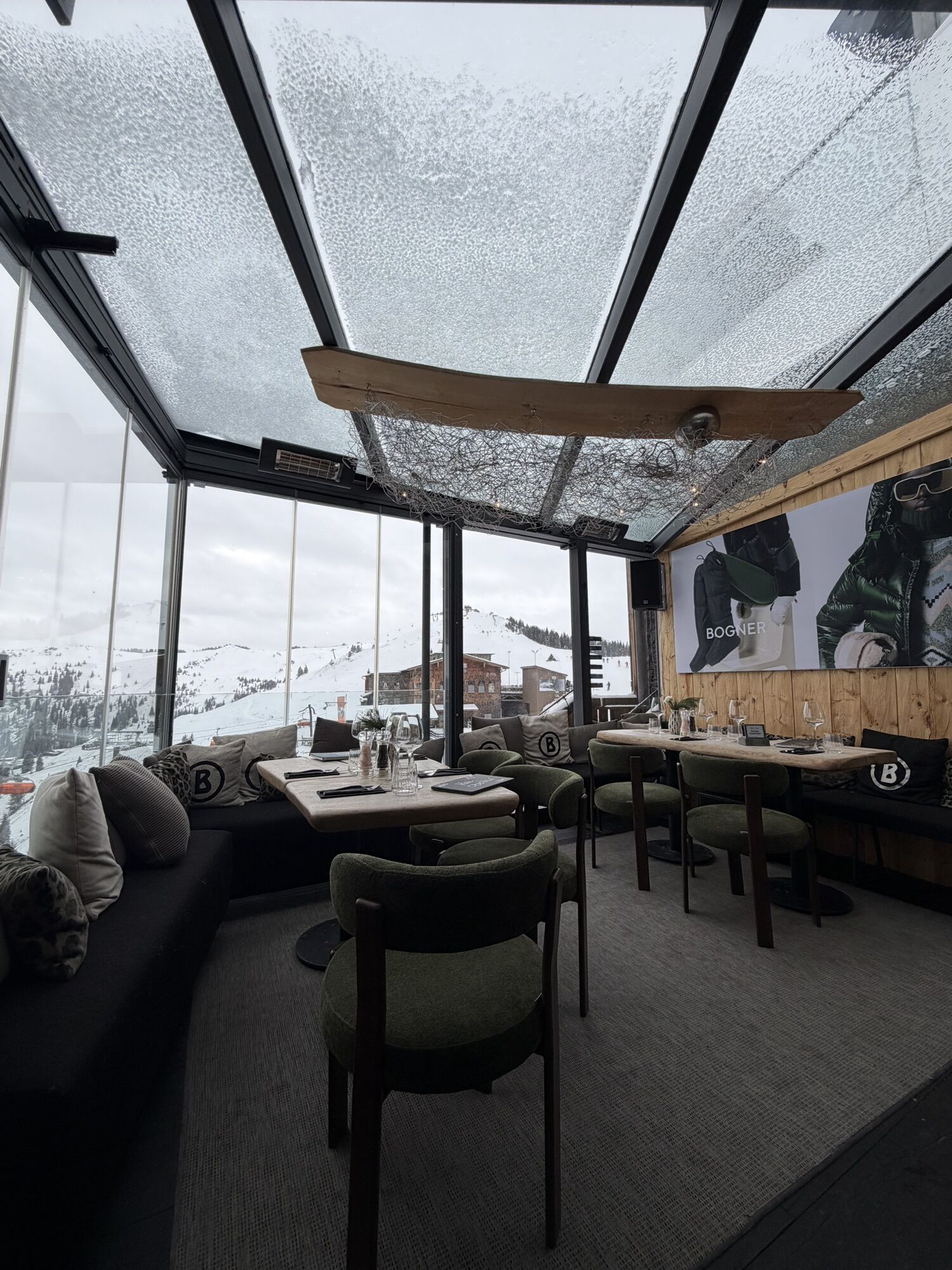
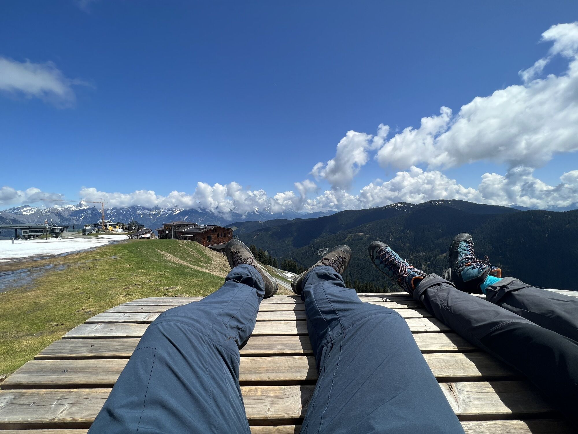
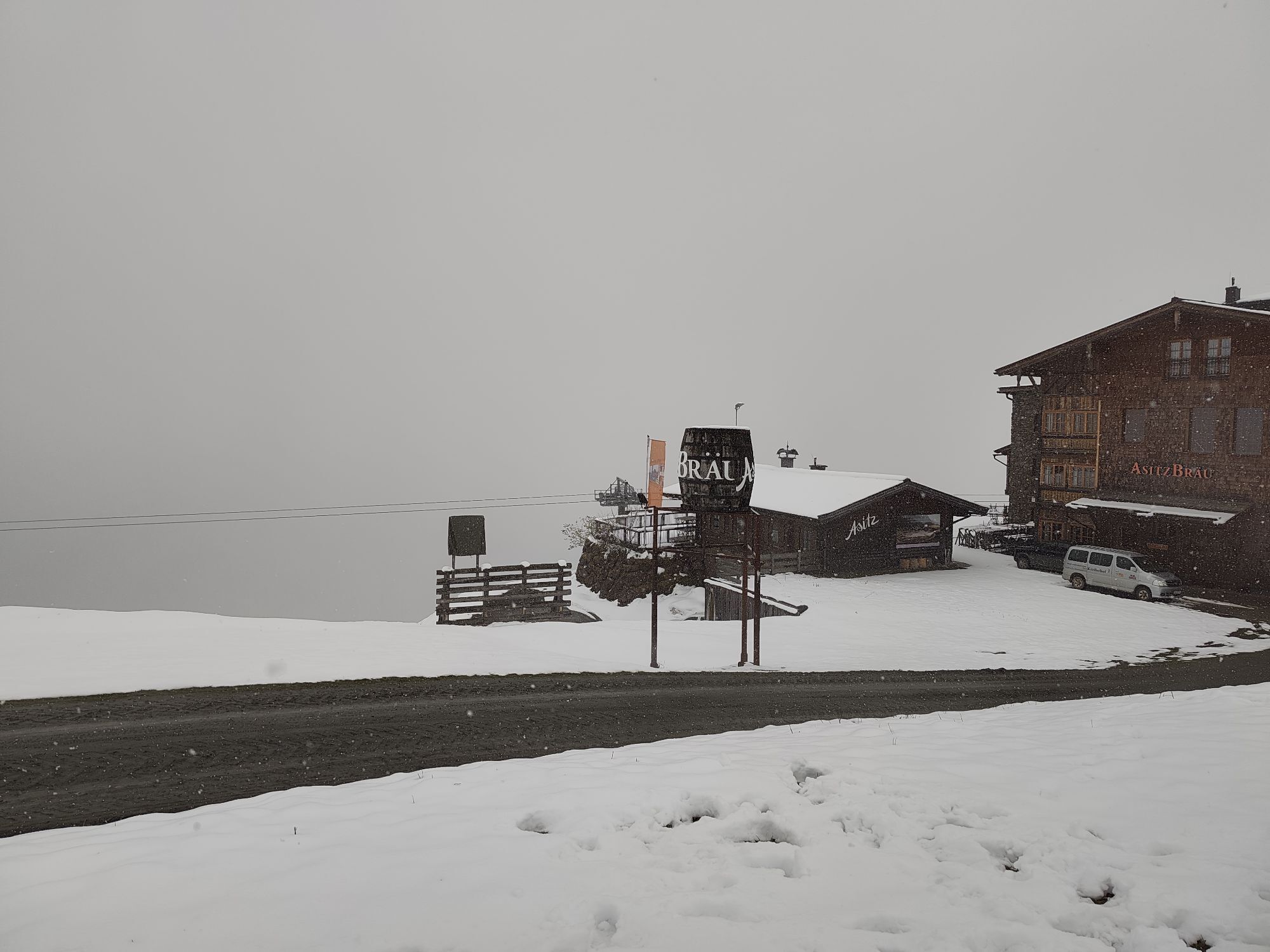
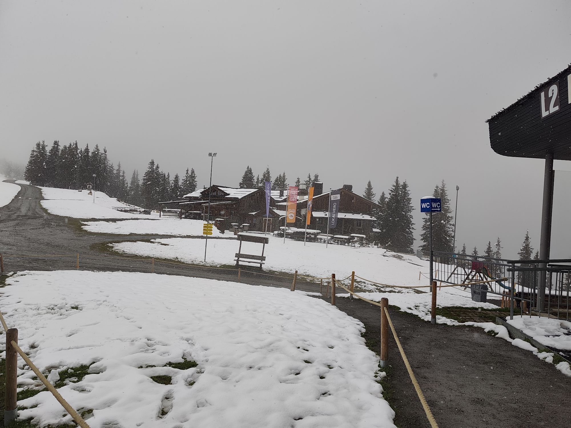
Enjoyment at lofty heights
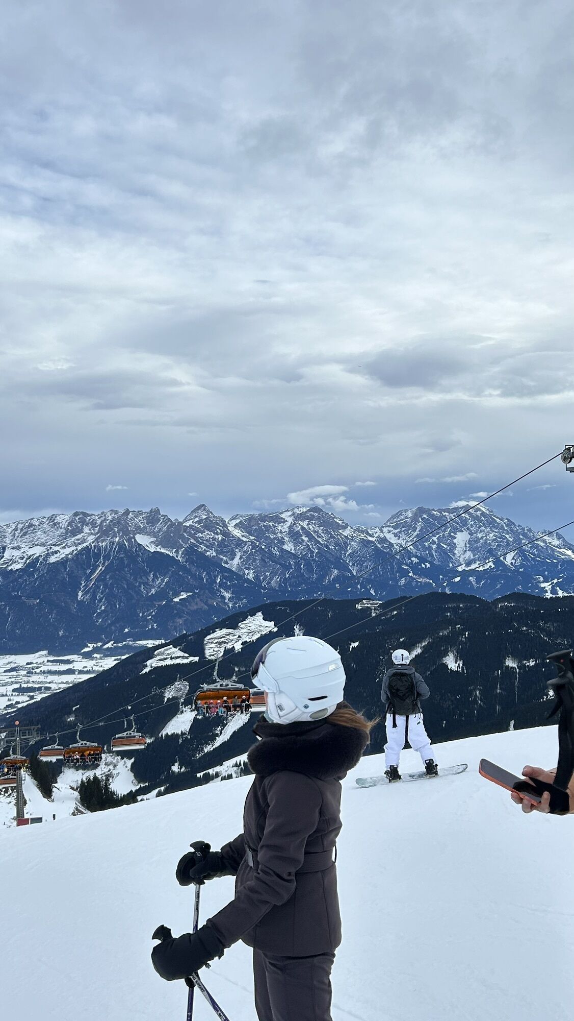
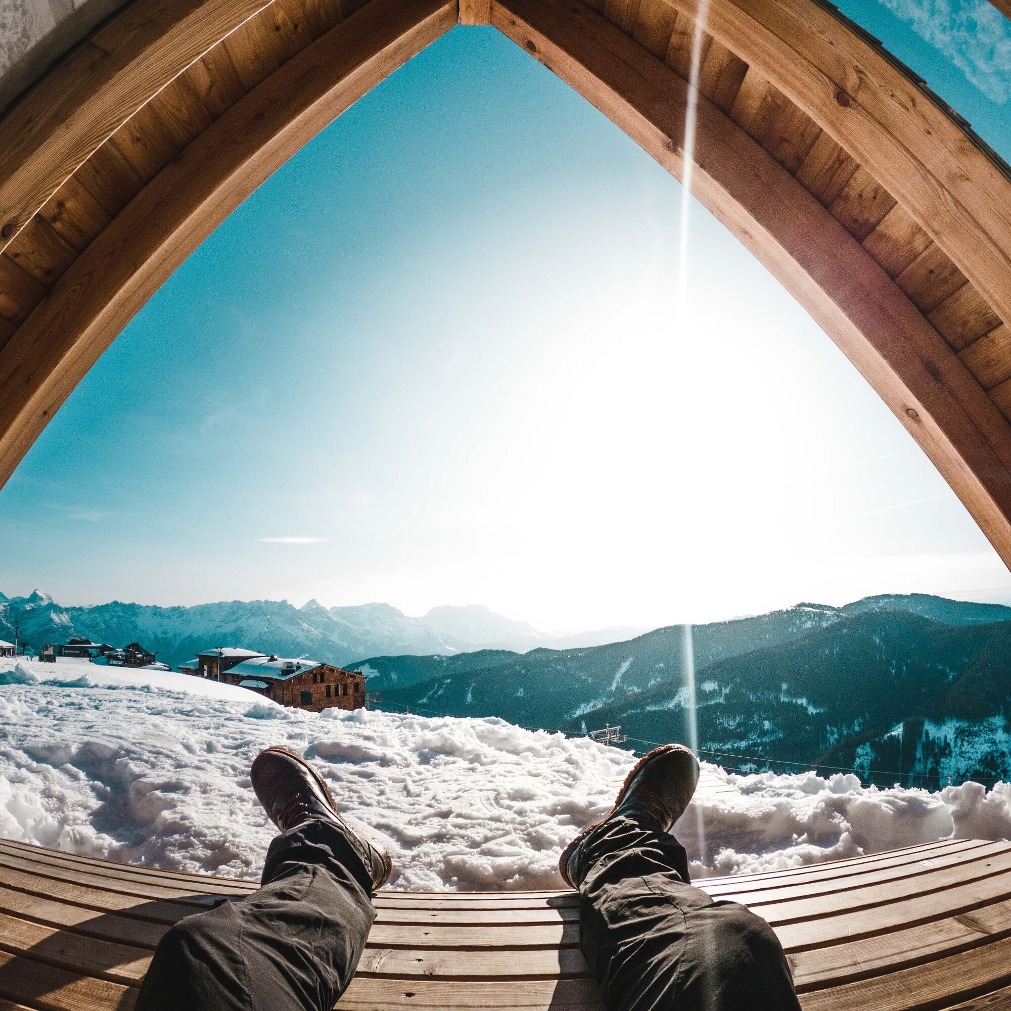
After this scenic winter hike, don't miss stopping by the cozy ski huts on the Asitz. The food tastes even better with the stunning winter panorama!
Popularne wycieczki w okolicy
- 4,6
Steinalm
światłoWędrówka 2,71 km - 4,3
Schwalbenwand Nr. 80, 81, 82
średniWędrówka 13,0 km - 4,4
Peter-Wiechenthaler Hut
średniWędrówka 4,32 km - 4,2
Passauer Hütte
ciężkiWędrówka 4,14 km - 4,6
Birnbachloch Leogang, Österreich
średniWędrówka 5,18 km - 4,0
Maurerkogel (Top)
Wędrówka 10,5 km - 4,9
Hochsonnberg Runde
średniMountainbike 59,8 km - 4,5
Seisenberg Gorge
światłoWędrówka 2,41 km - 4,5
Thumersbach, Runde um den Zeller See
światłoWędrówka 13,3 km - 4,6
Lettlkaser
średniWędrówka 4,40 km
Wędrówki i tropienie


Nie przegap ofert i inspiracji na następne wakacje
Twój adres e-mail została dodana do listy mailingowej.