


Hike through the Tor
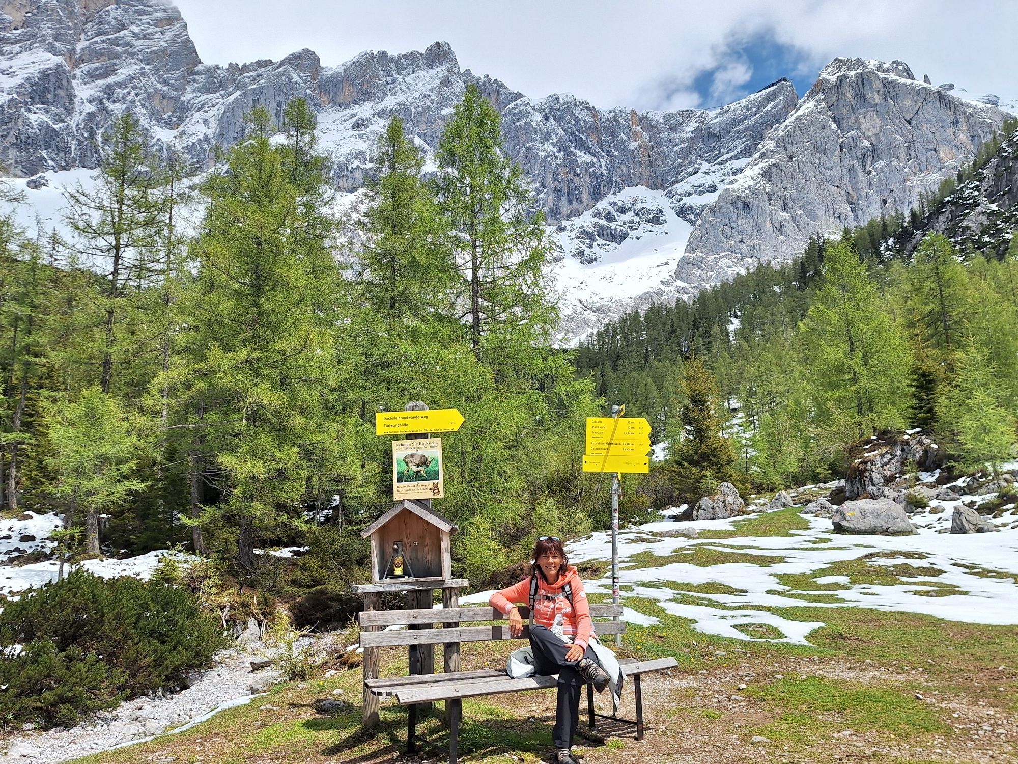
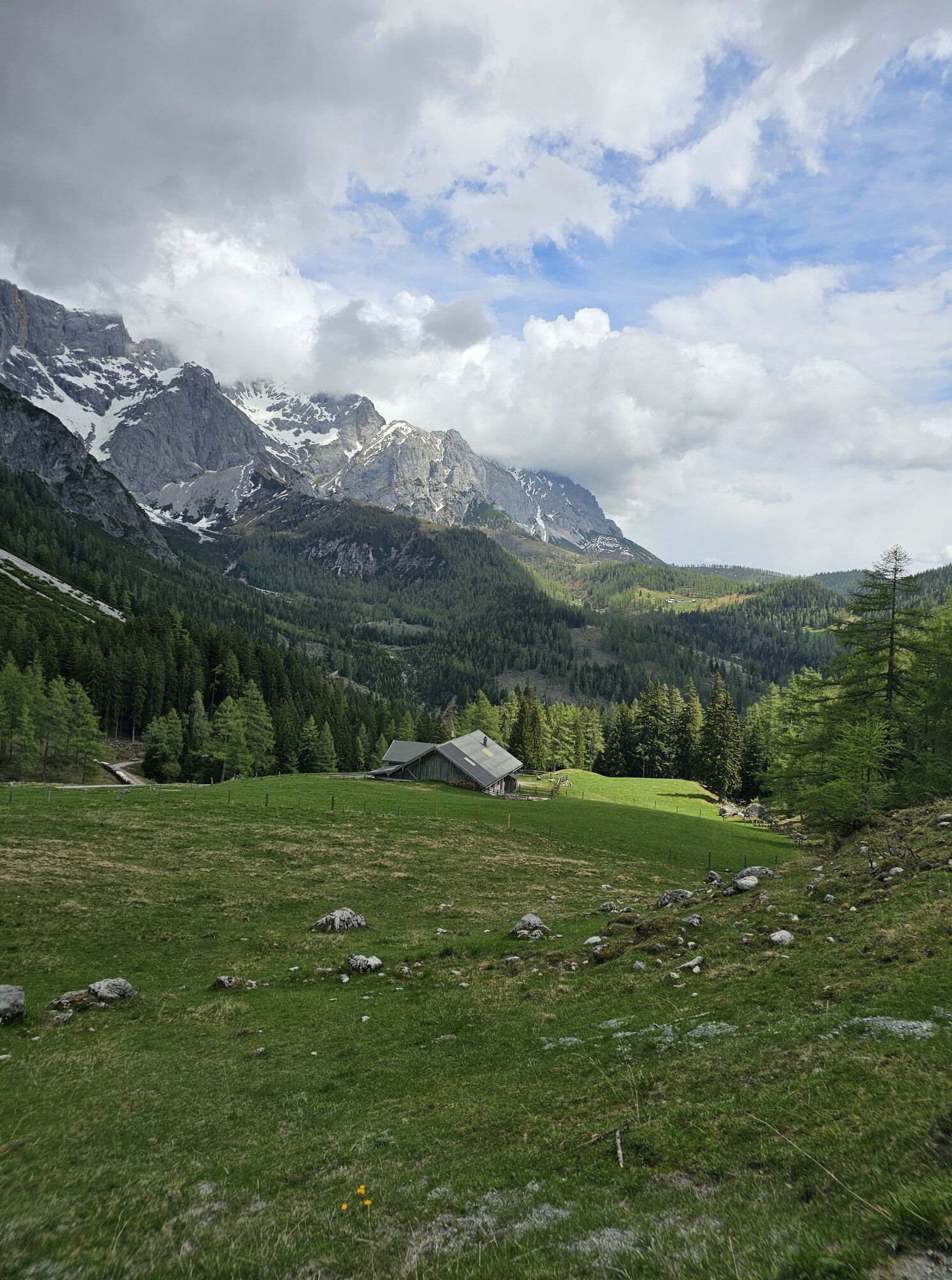
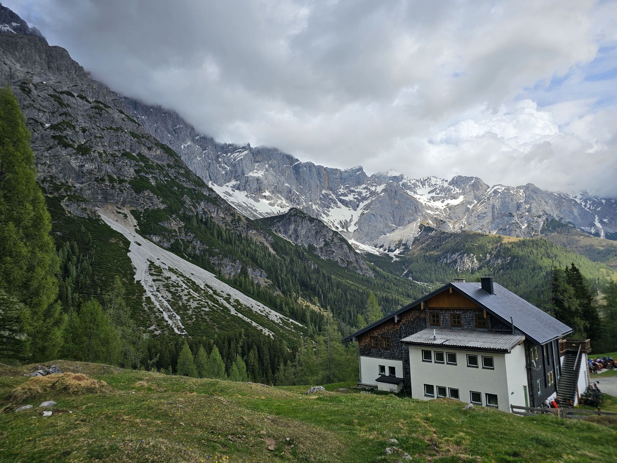
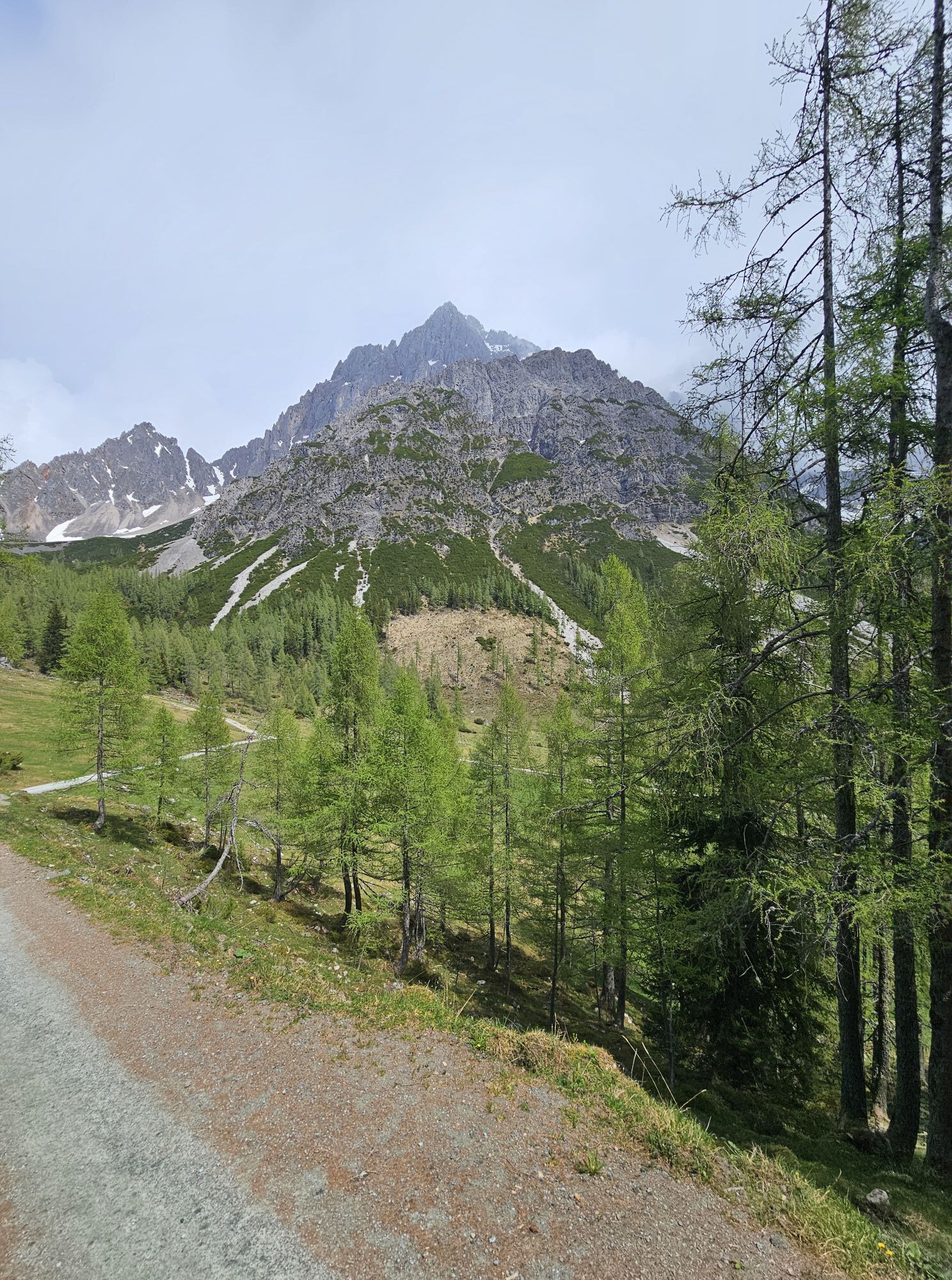
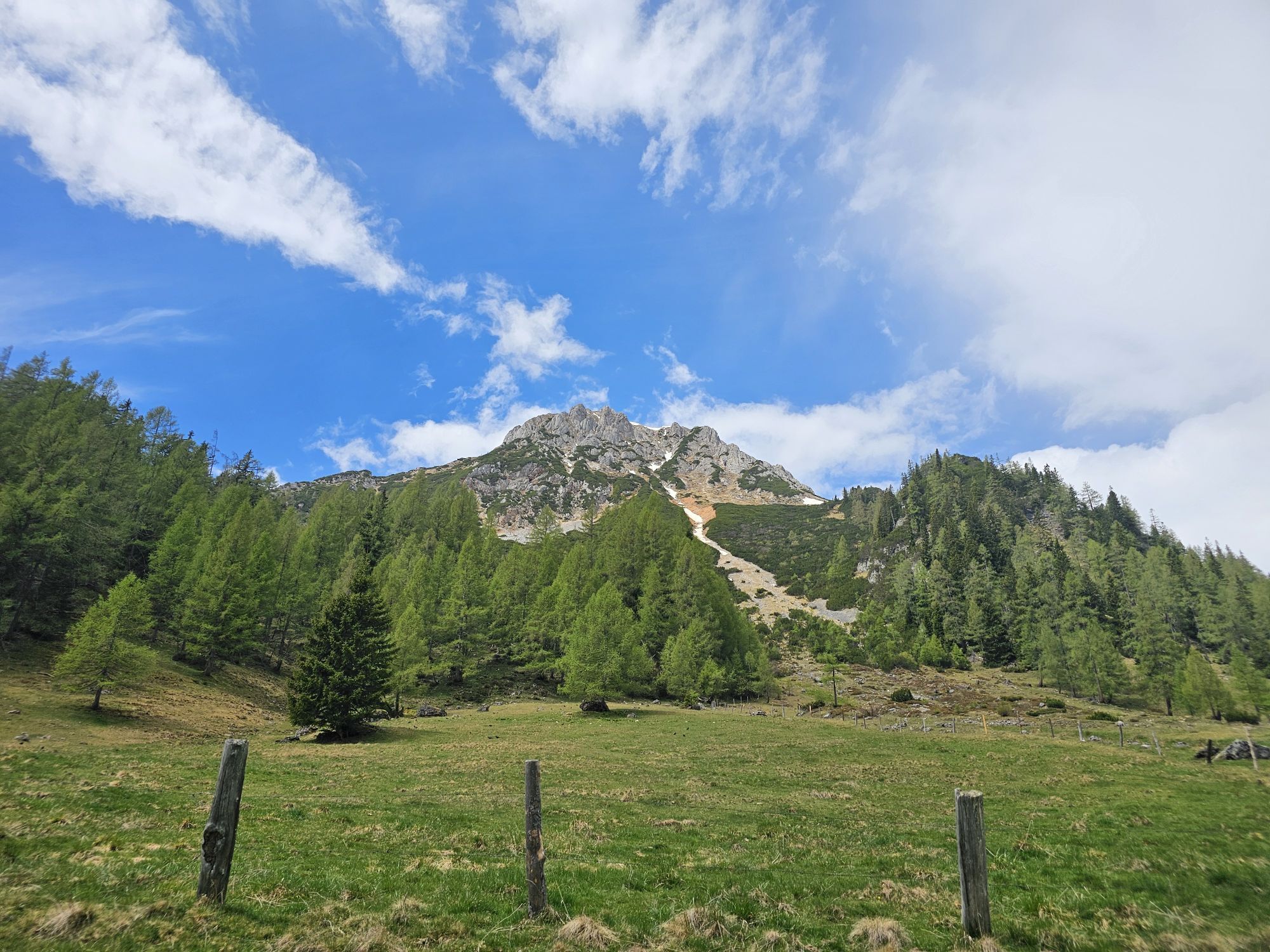
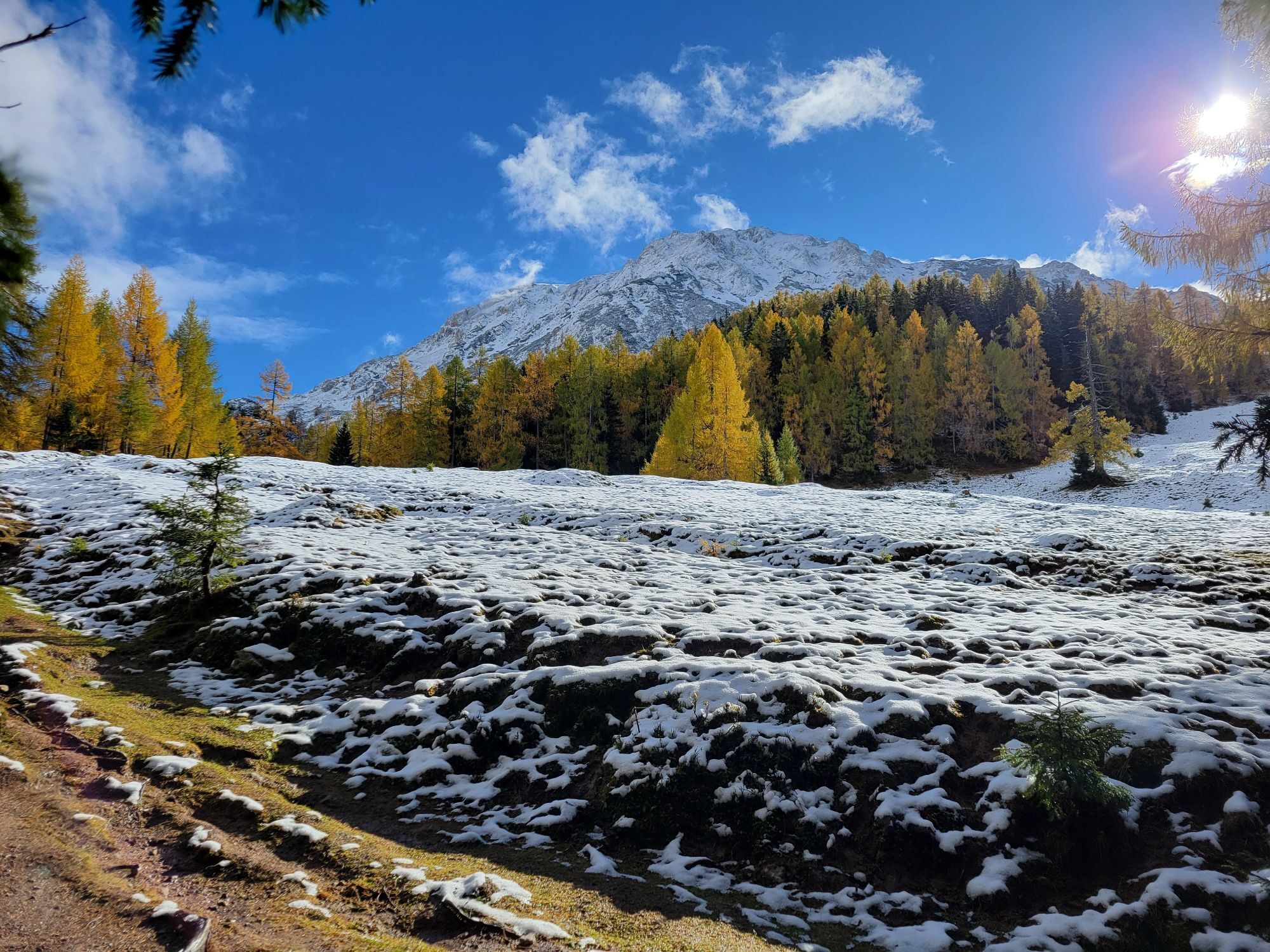

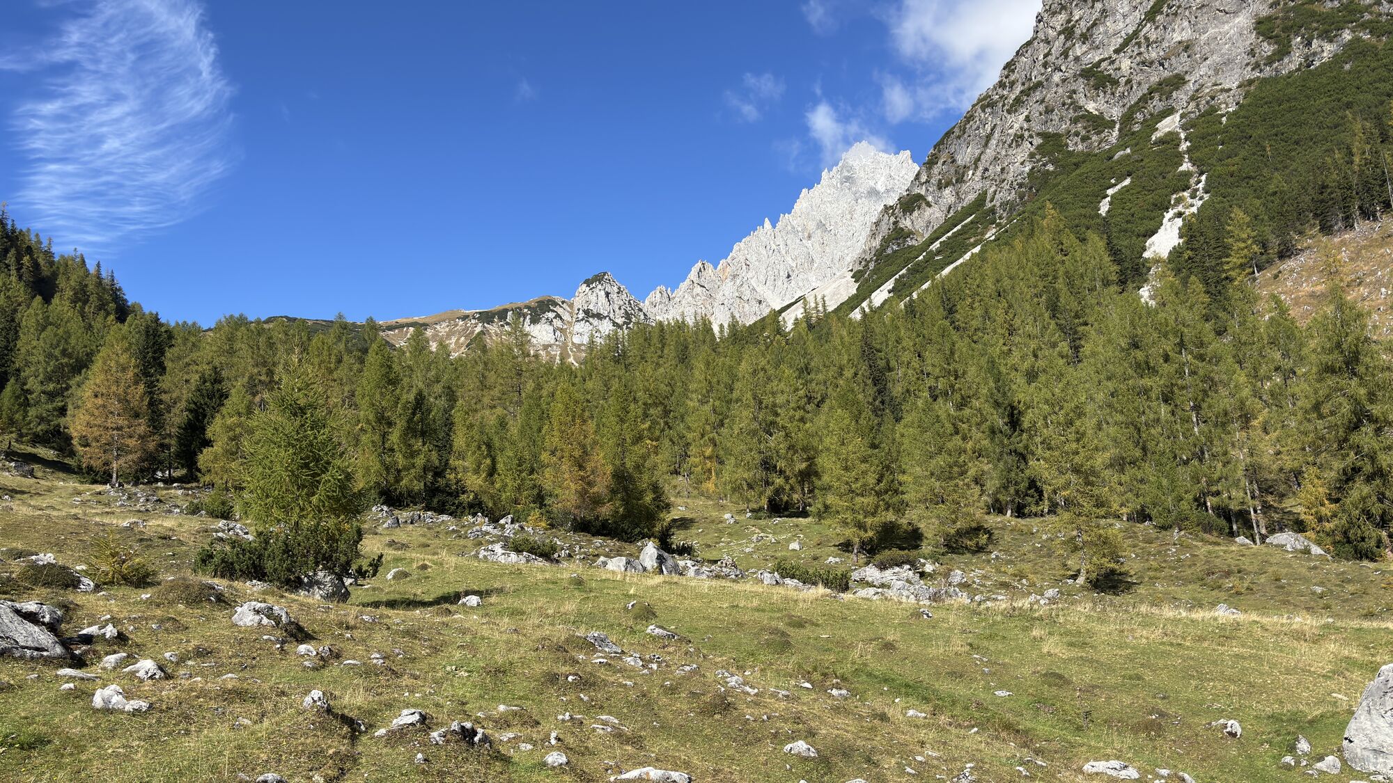
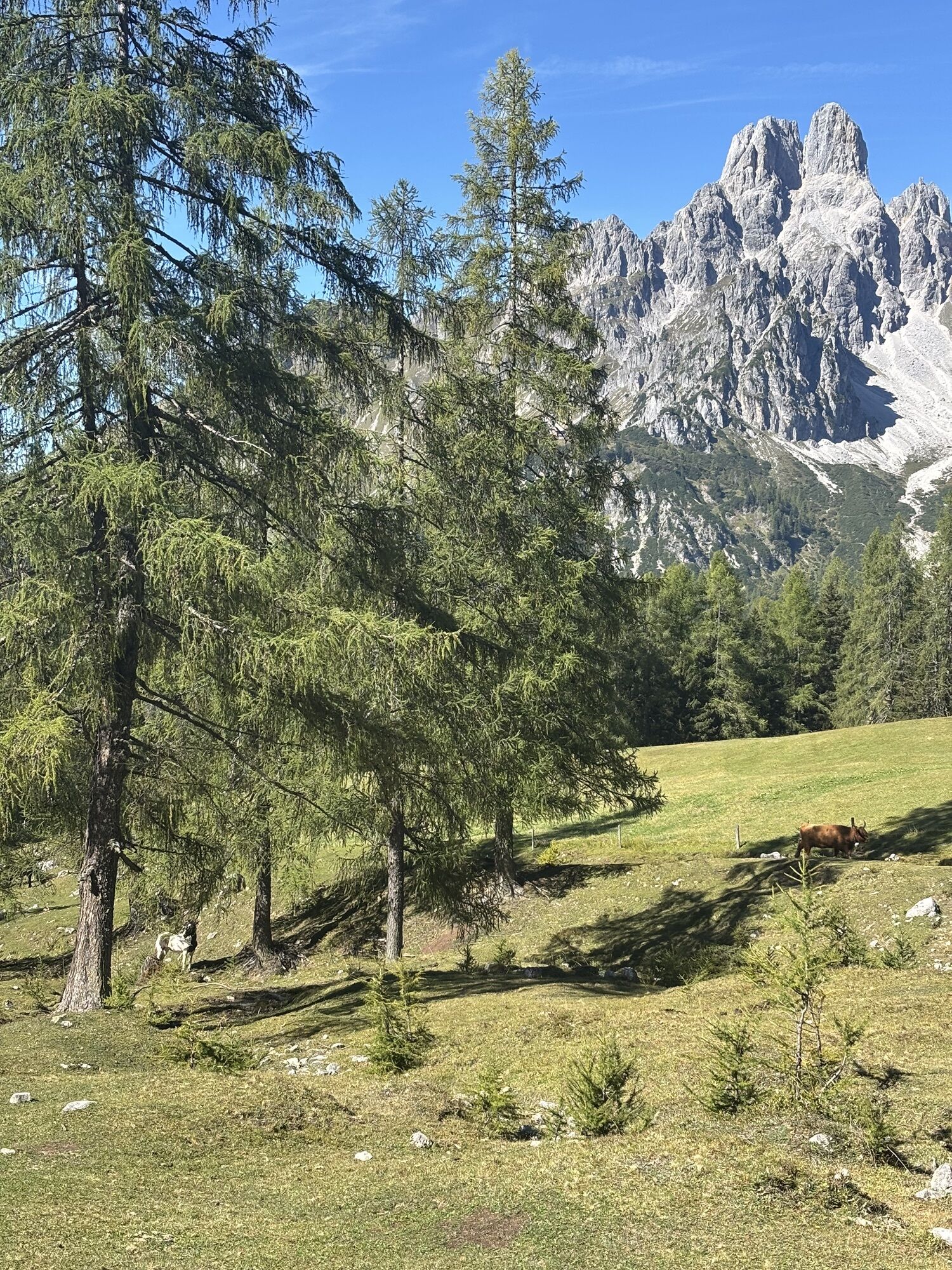
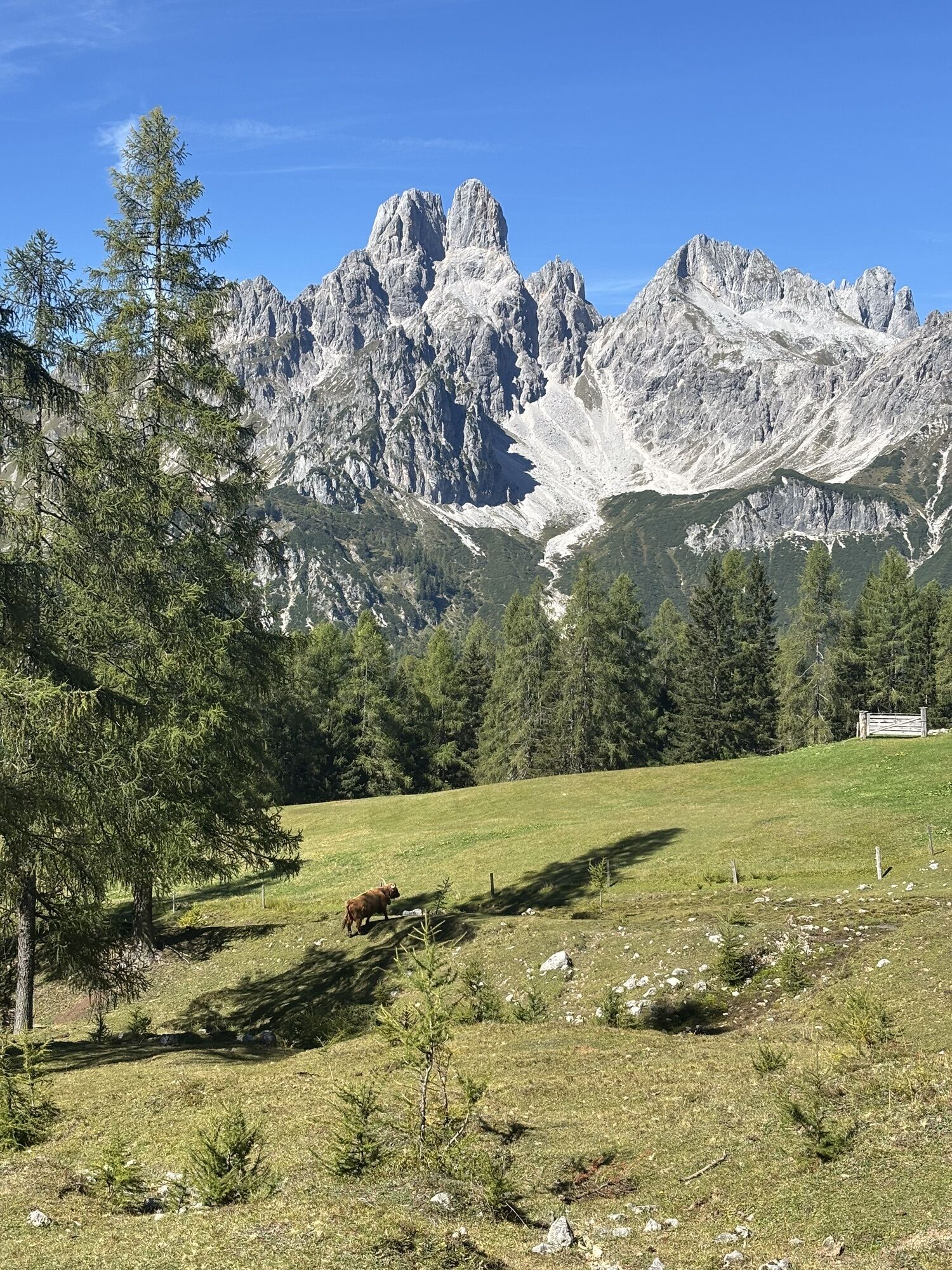
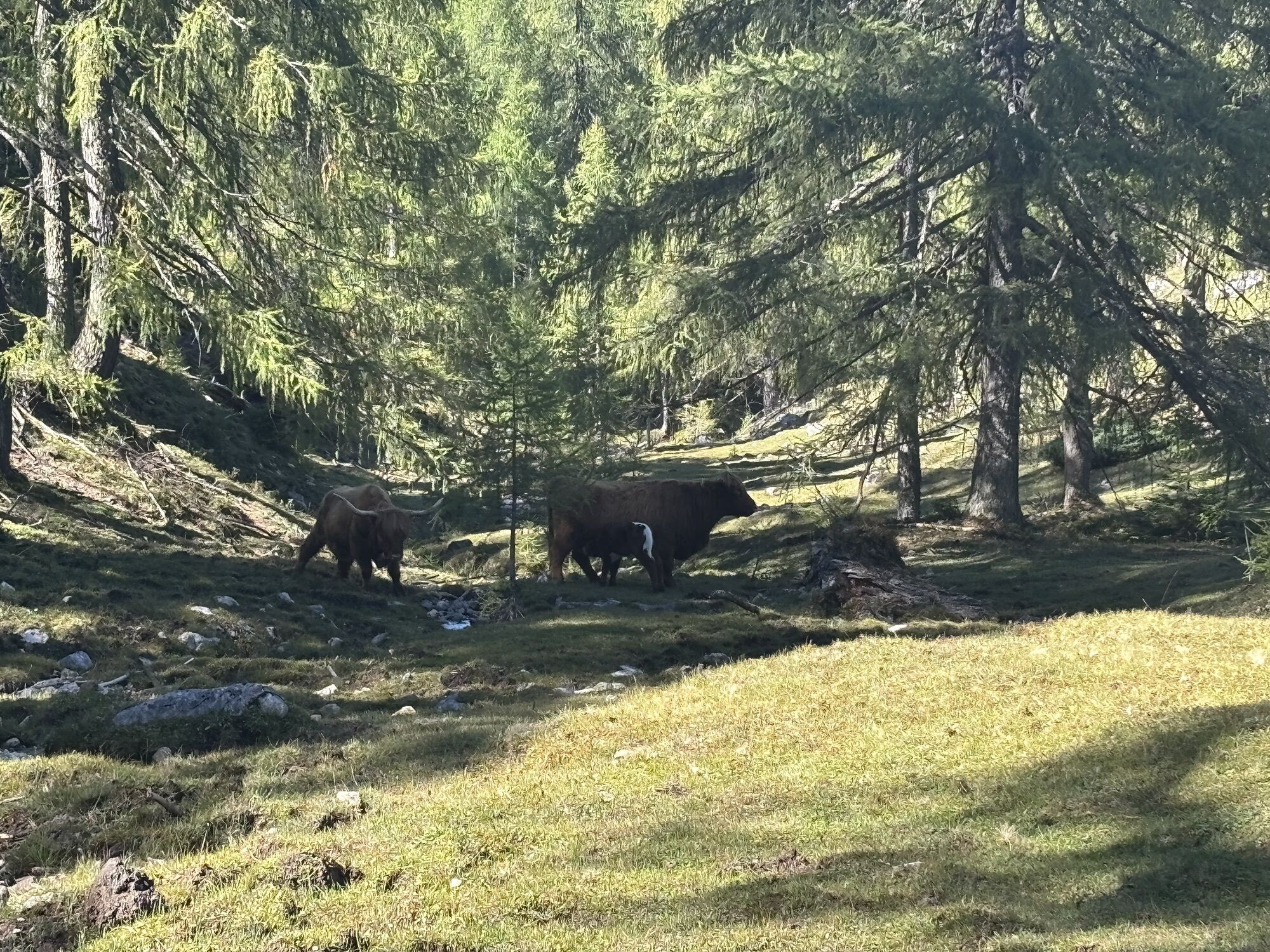
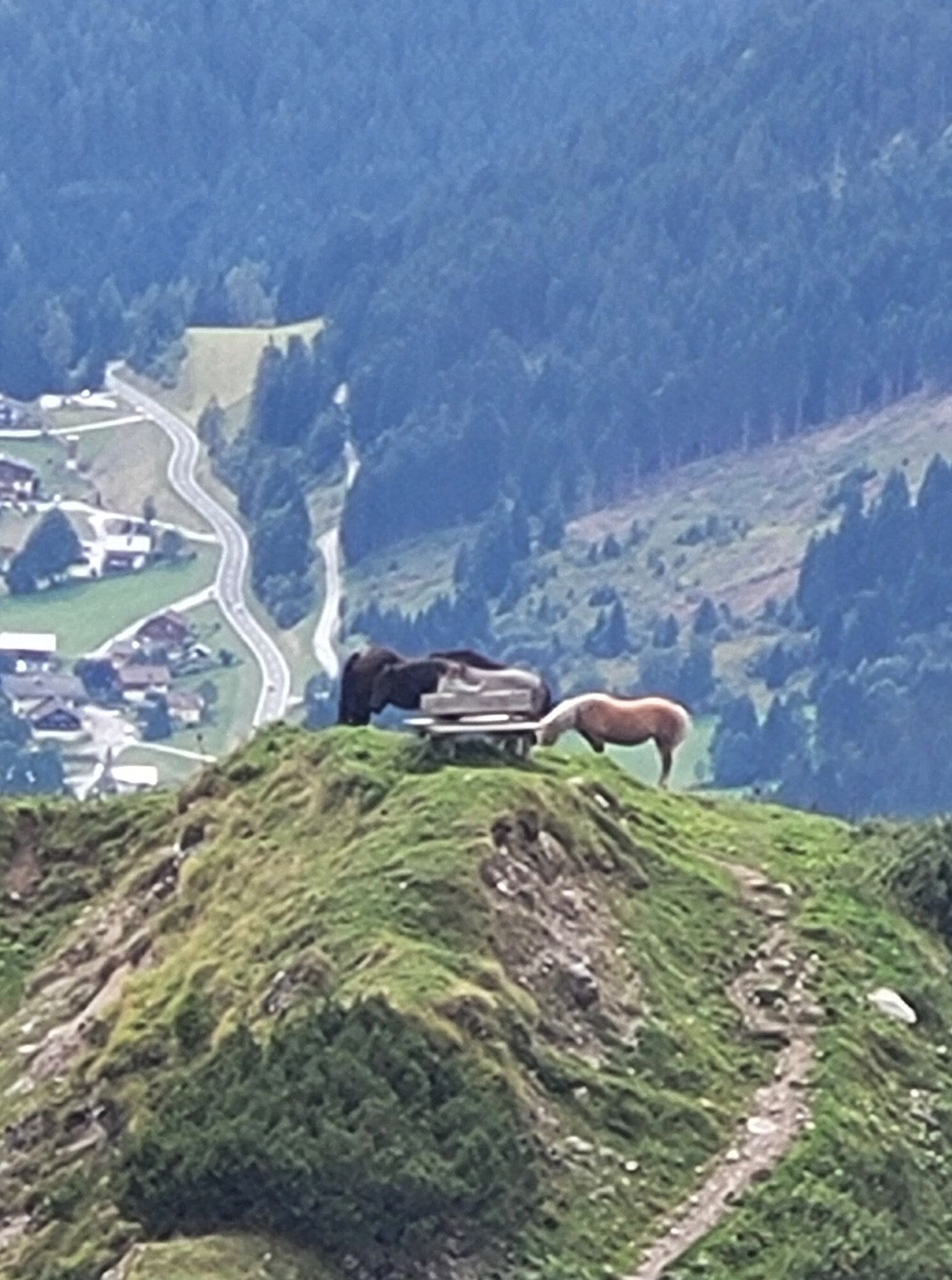
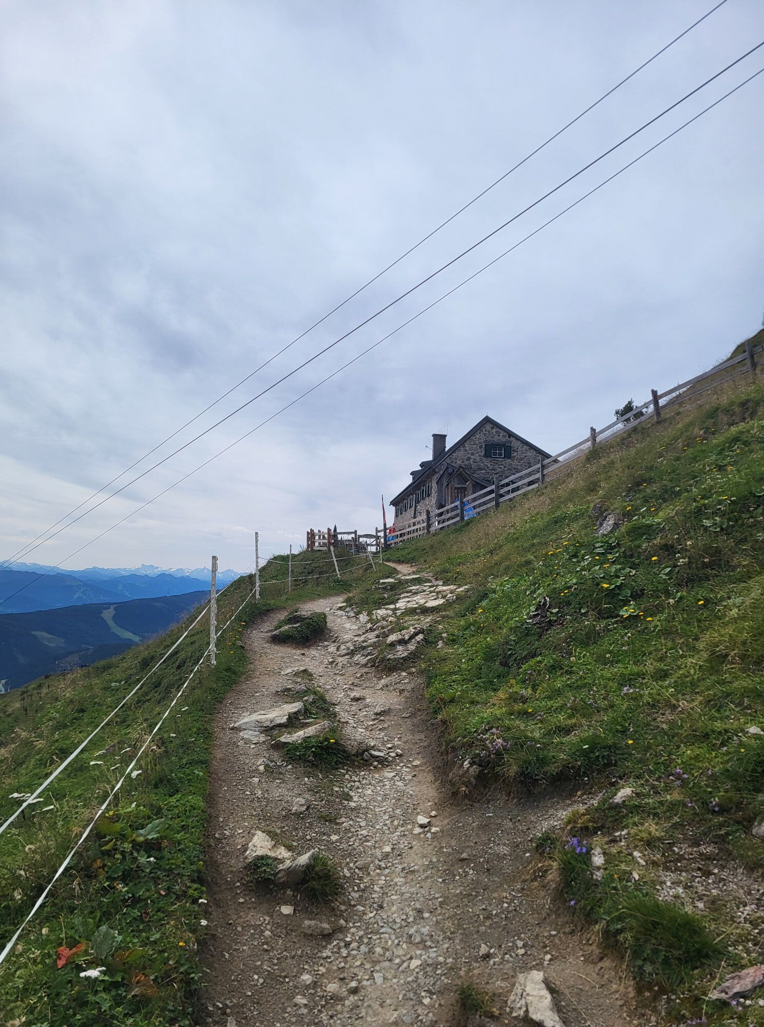
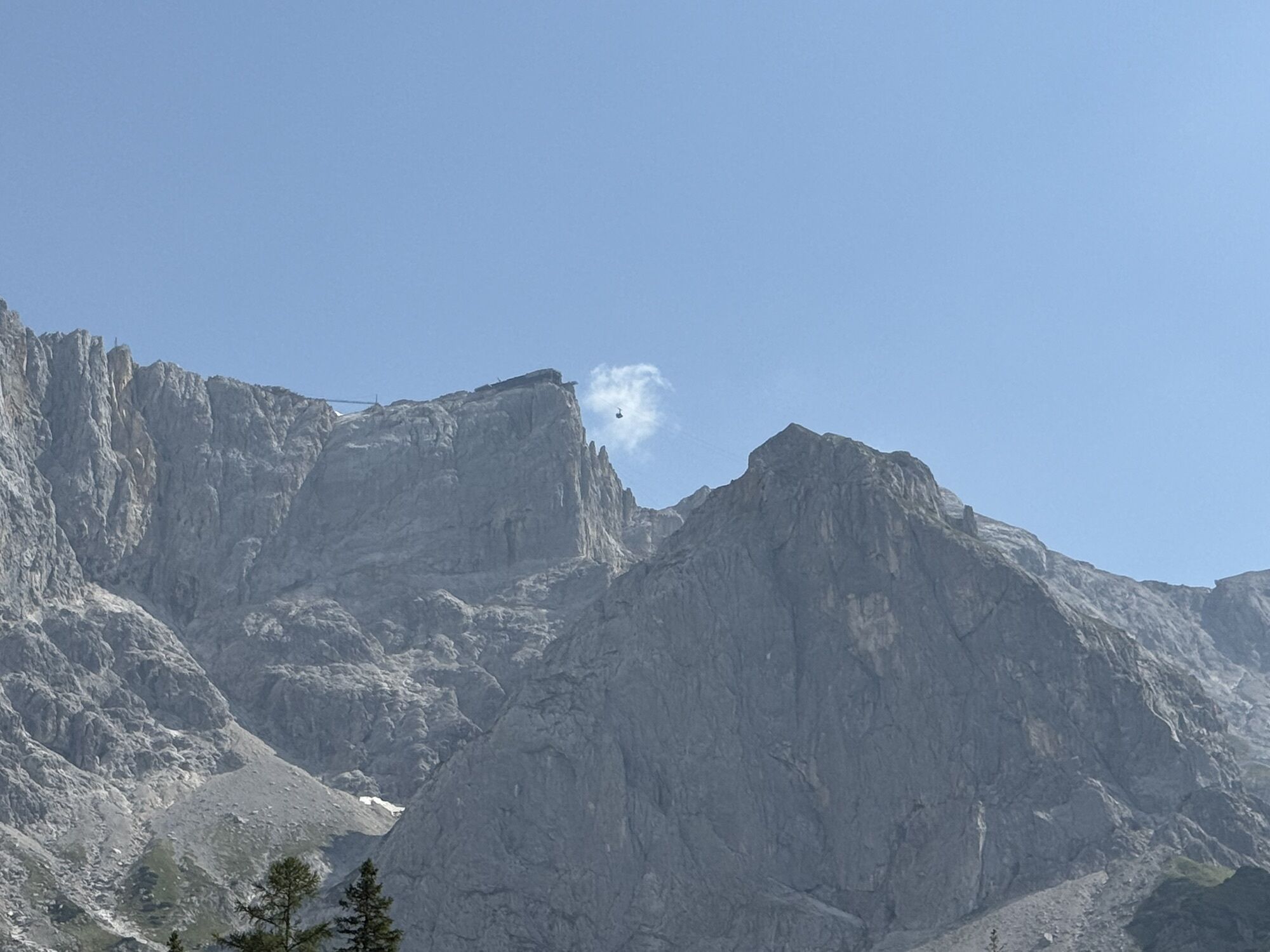
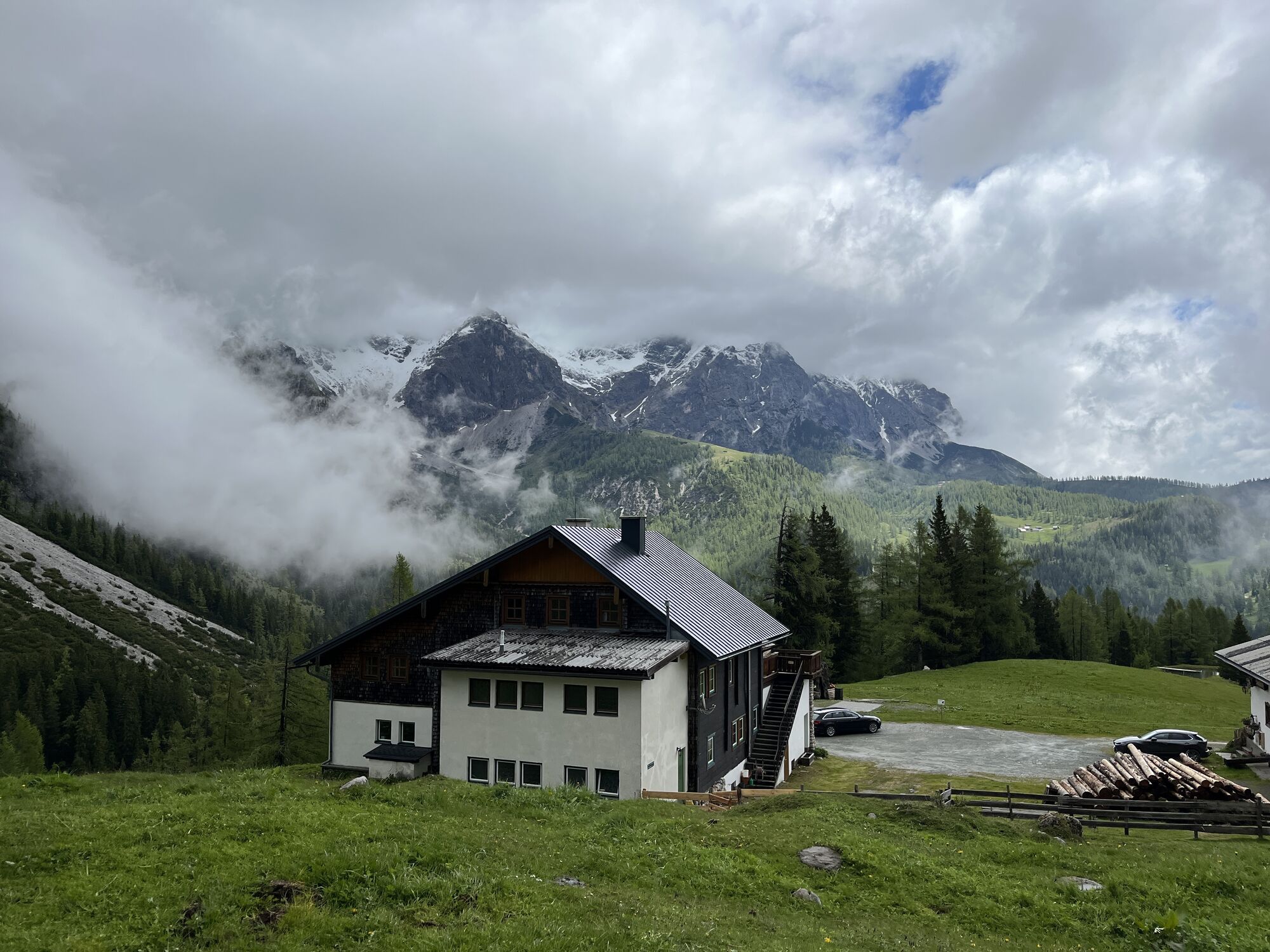

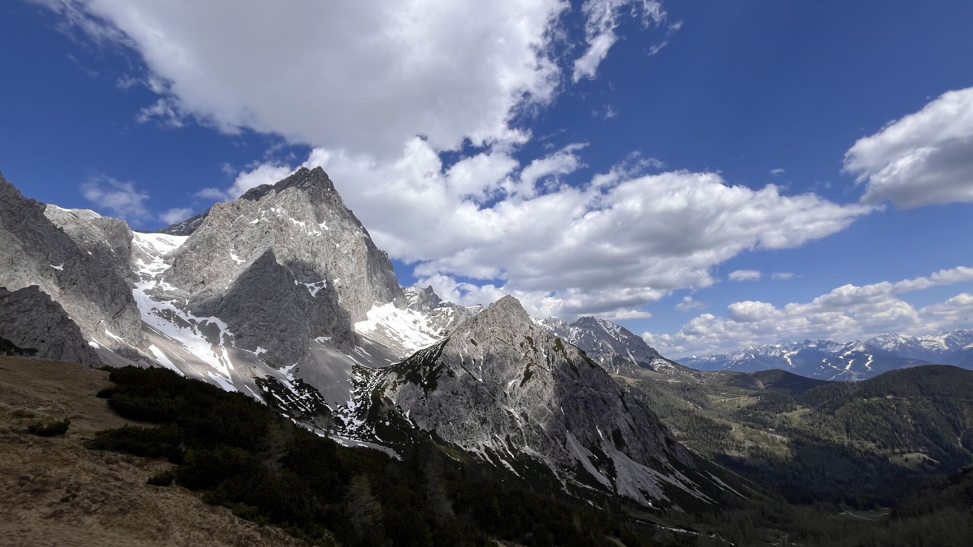
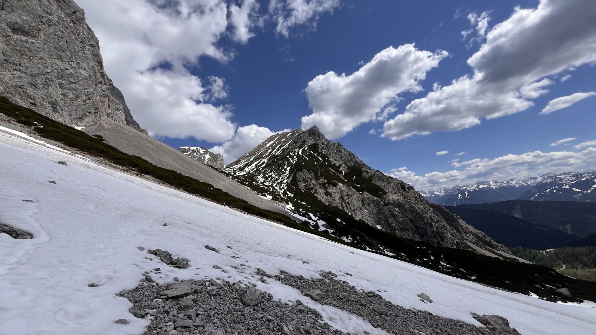
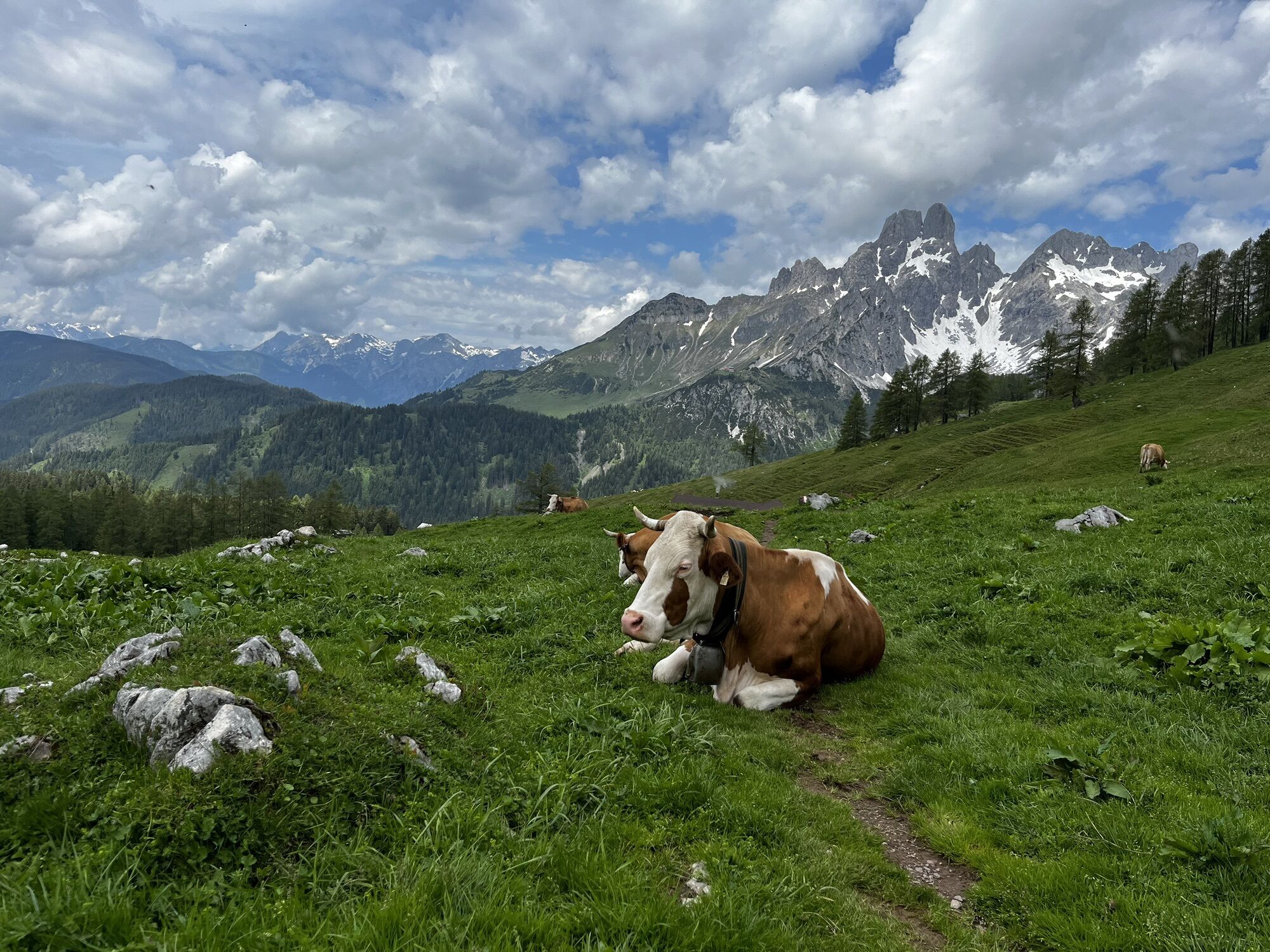
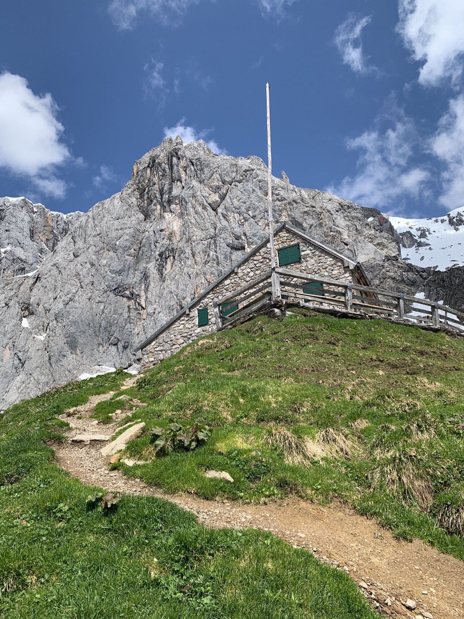
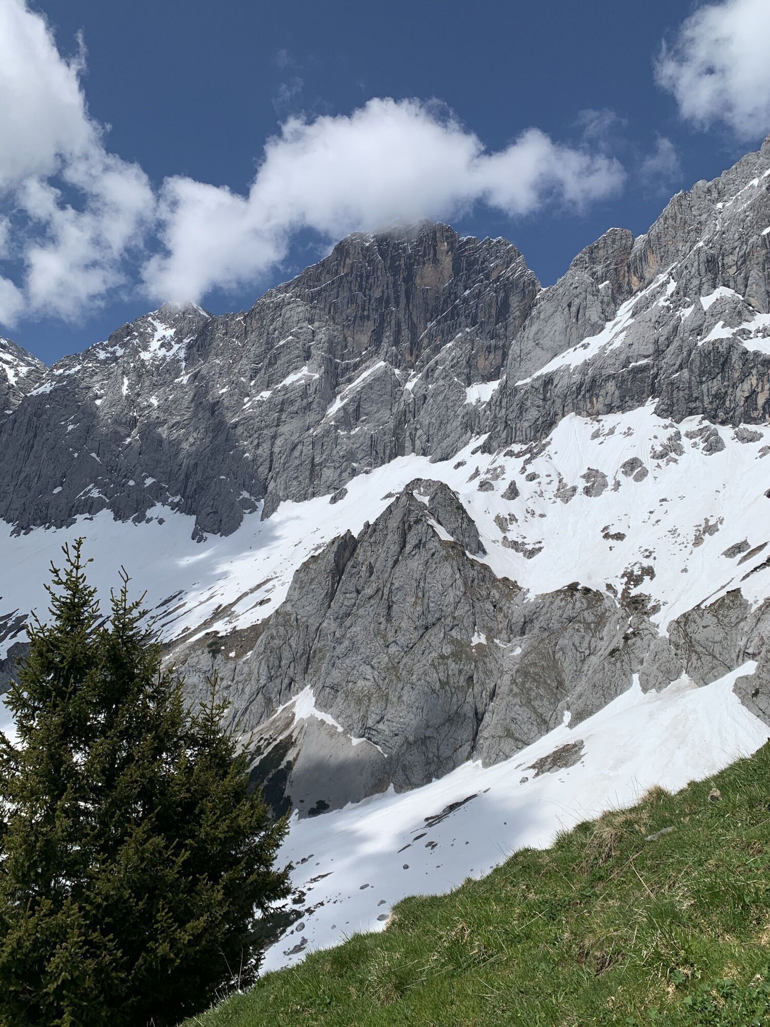
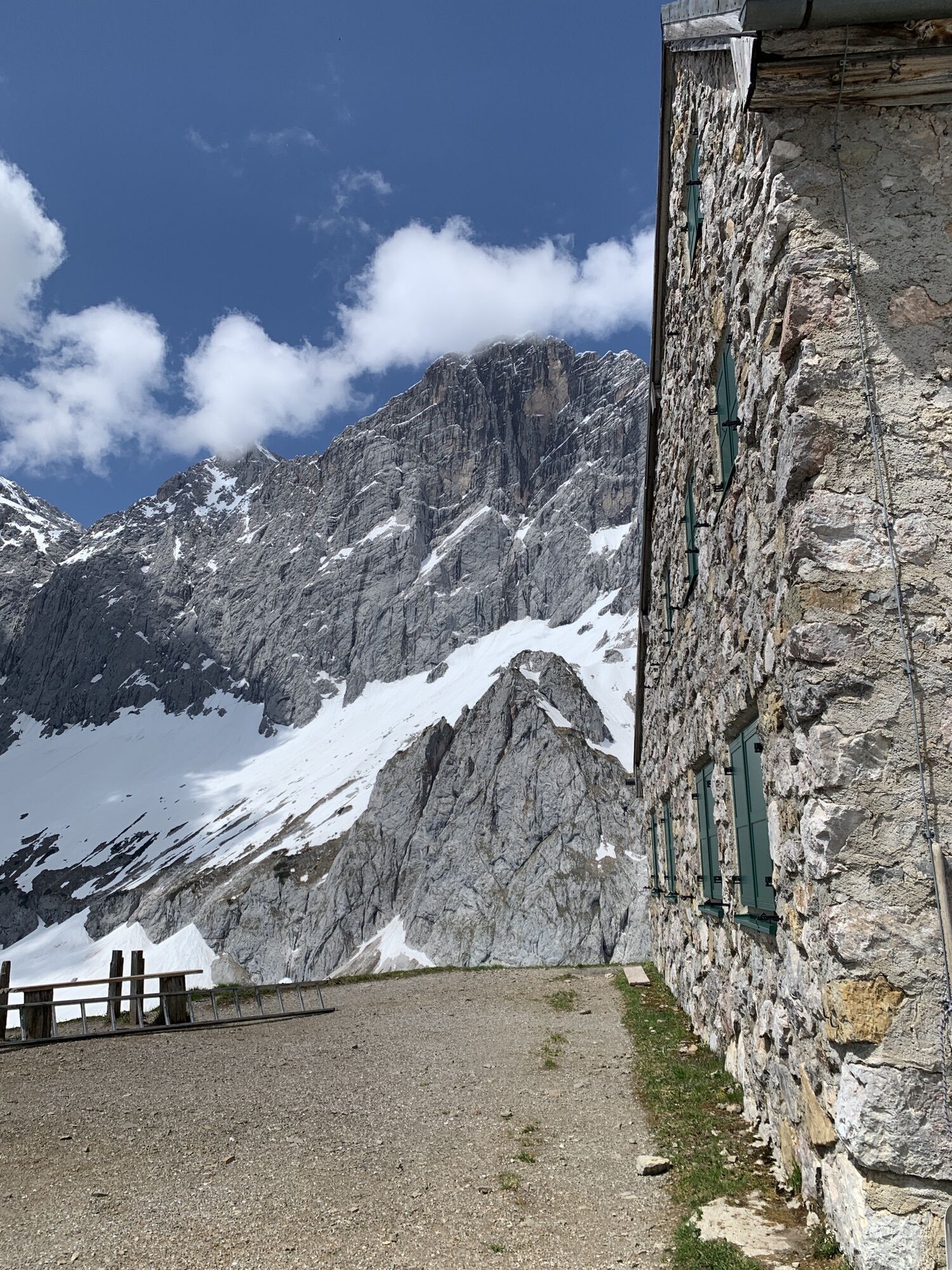
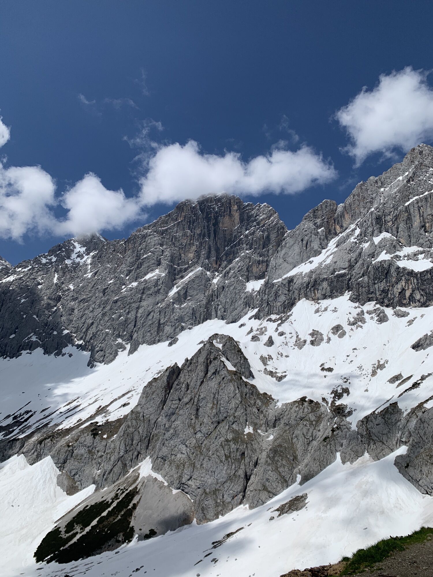
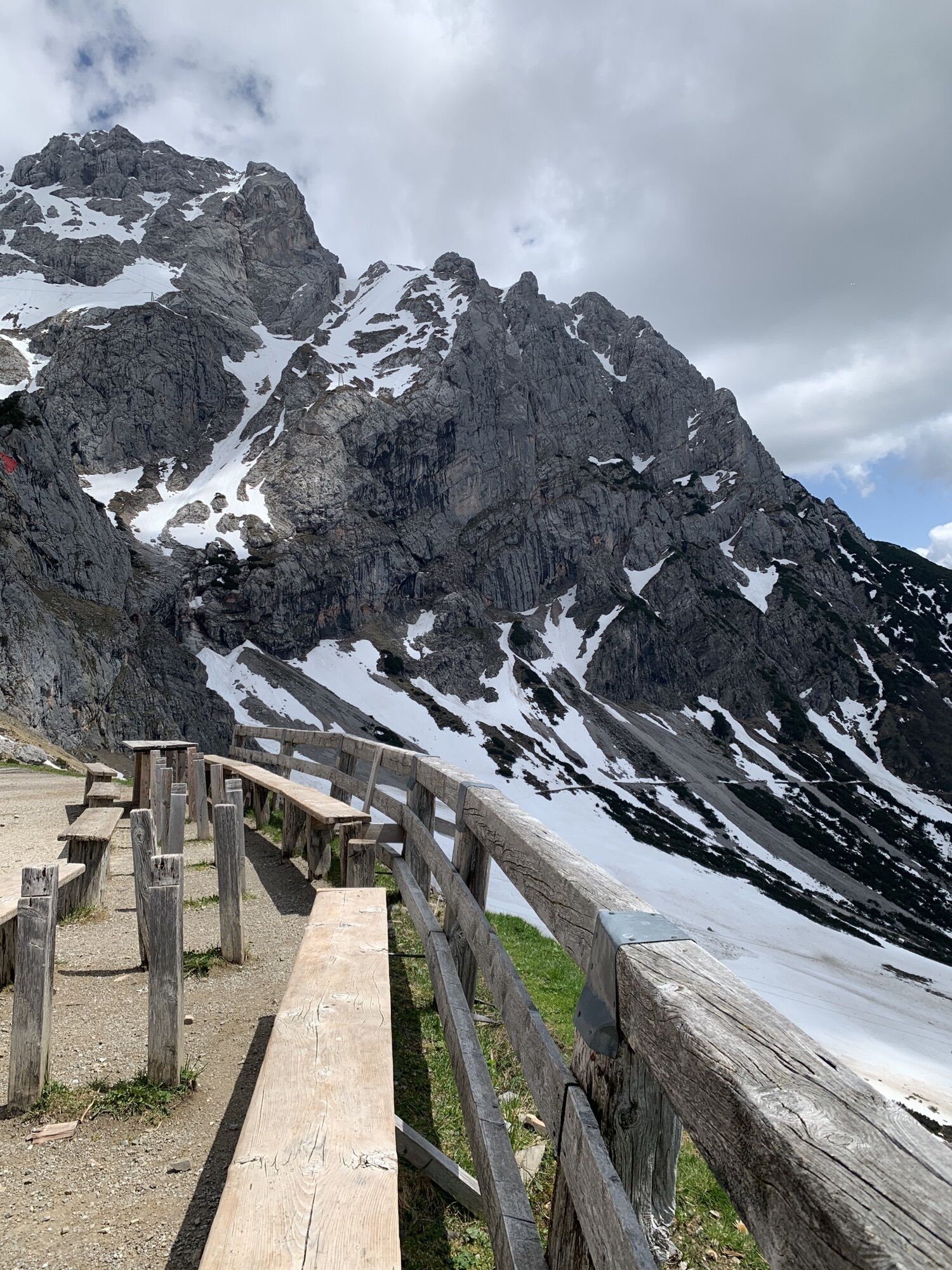
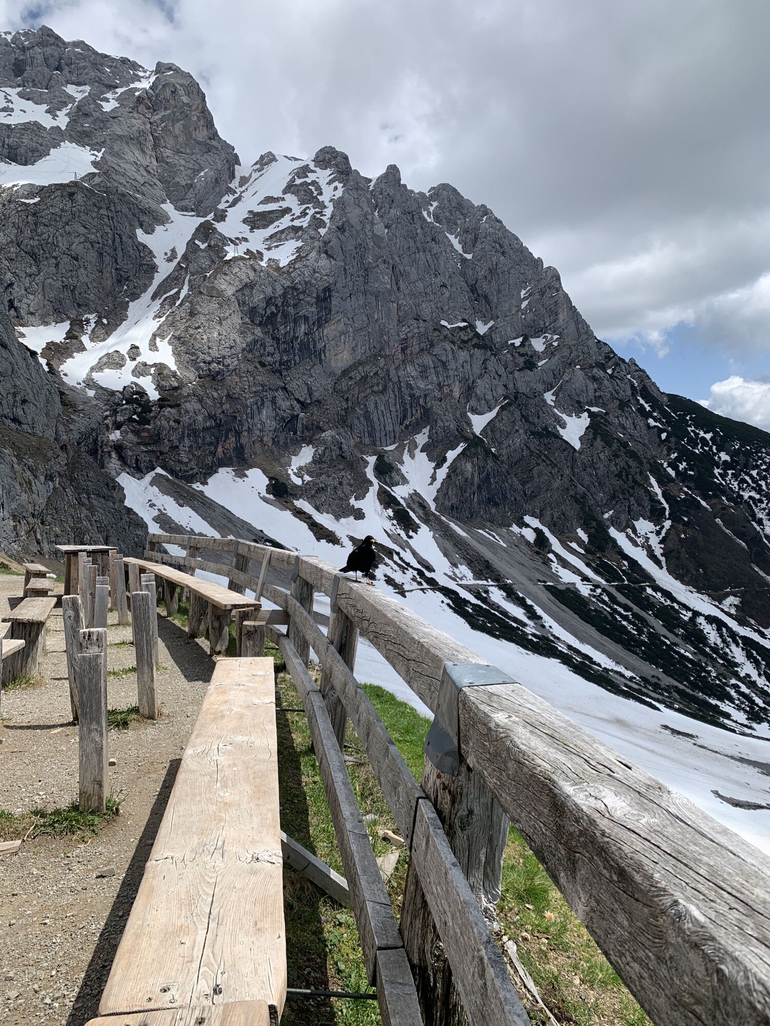
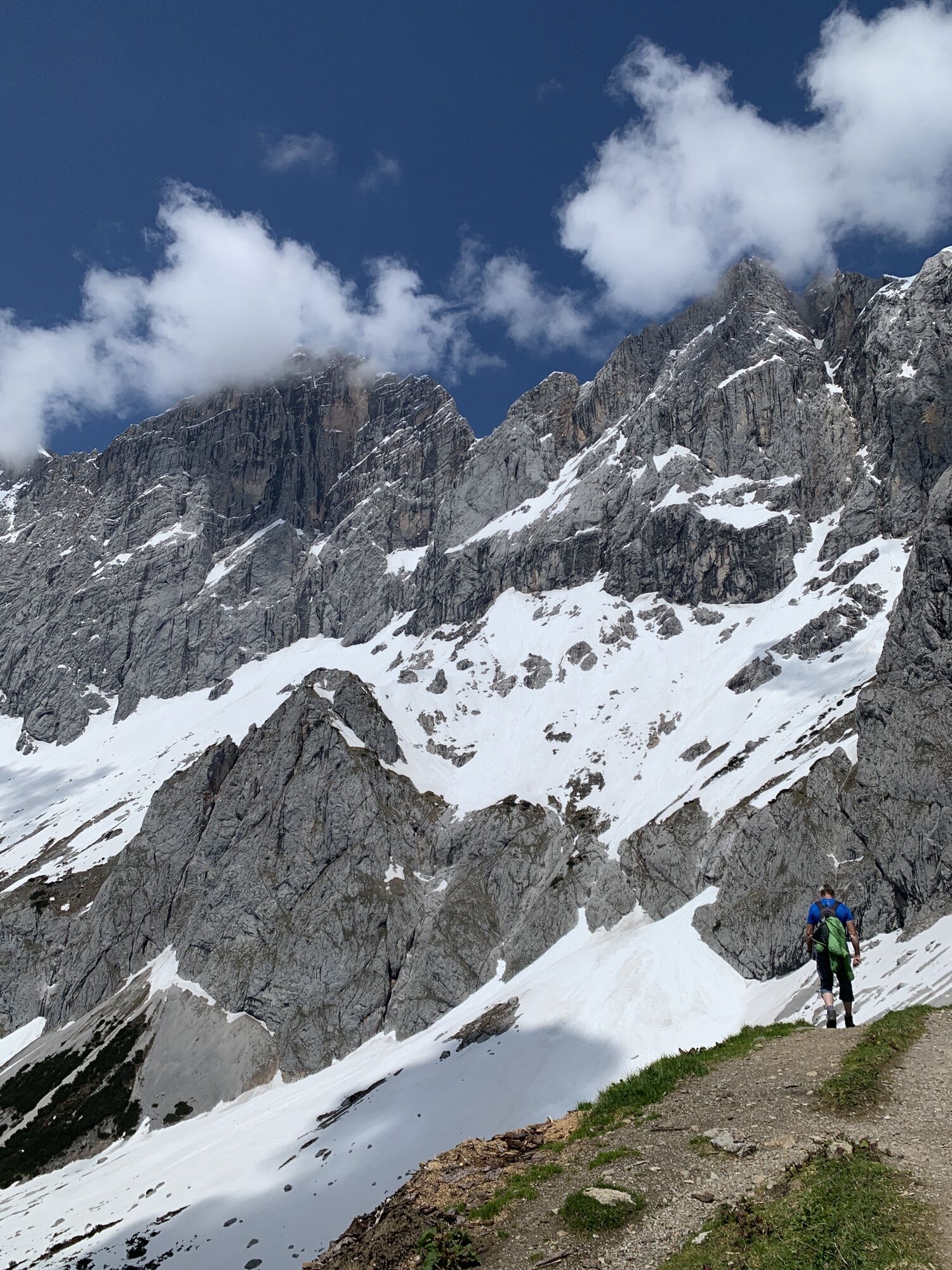

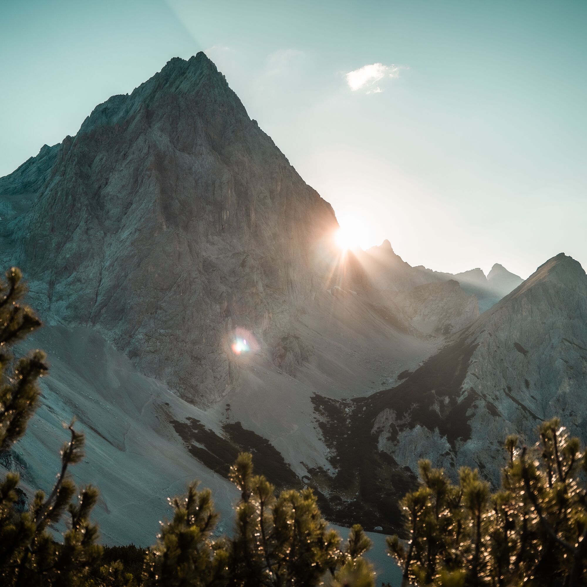
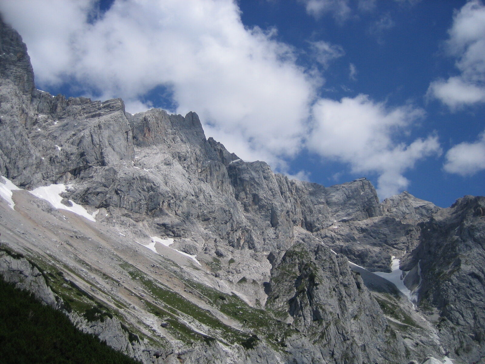
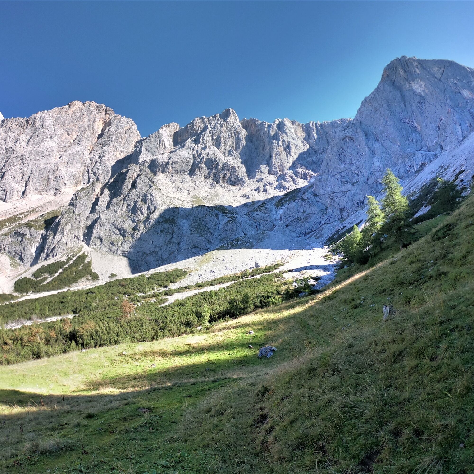
You hike along the foot of the Torstein and Dachstein. Before you rise the impressive Torstein and the Dachstein South Wall. If you’re lucky, you can see many chamois and even ibex.

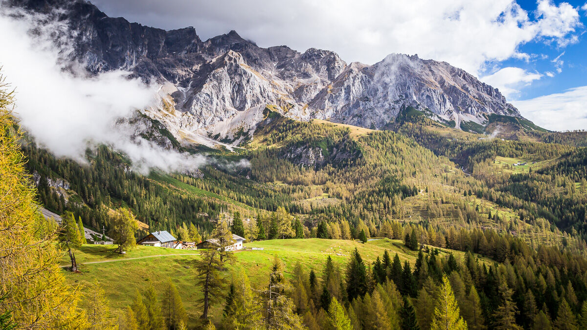
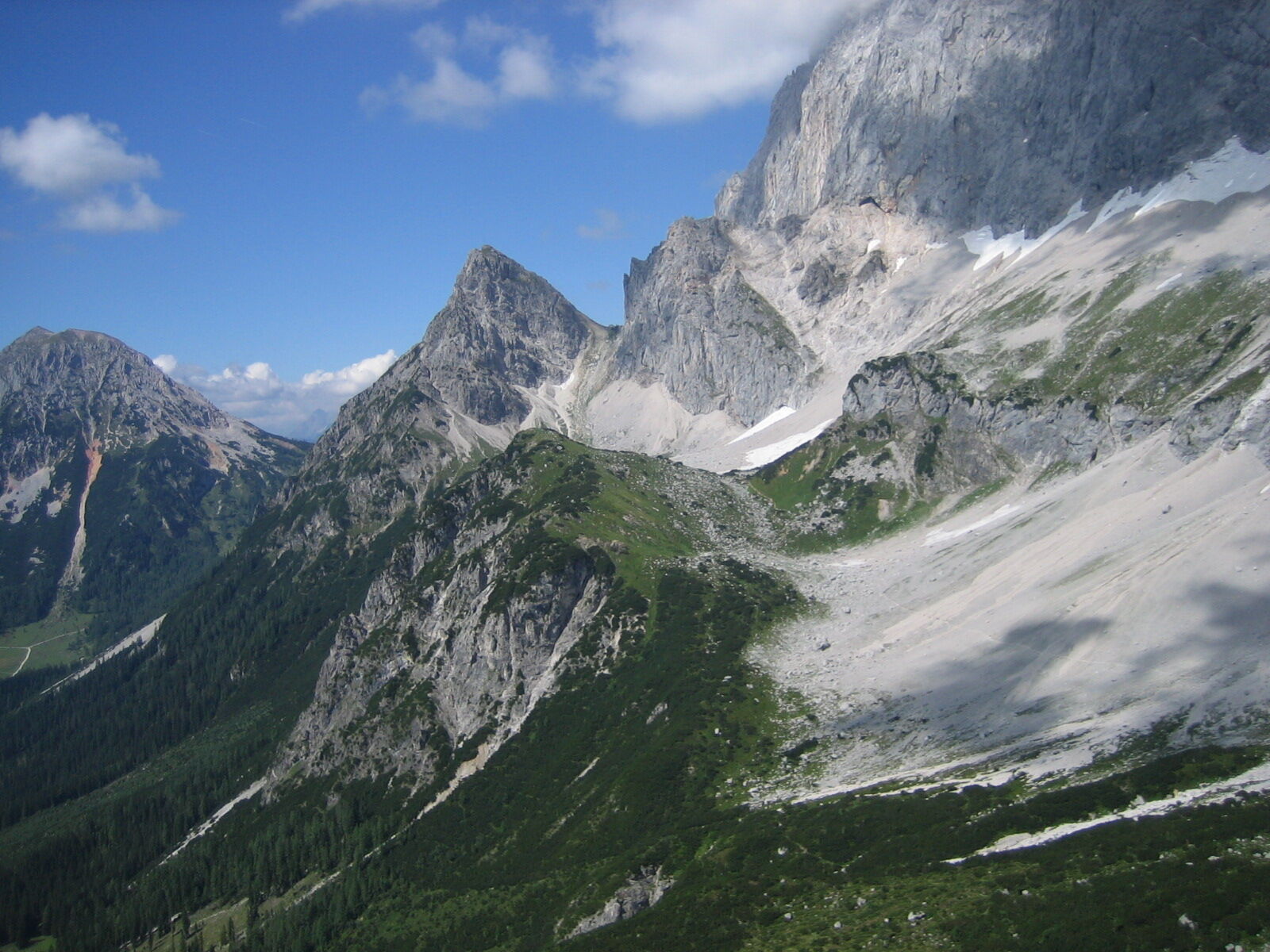
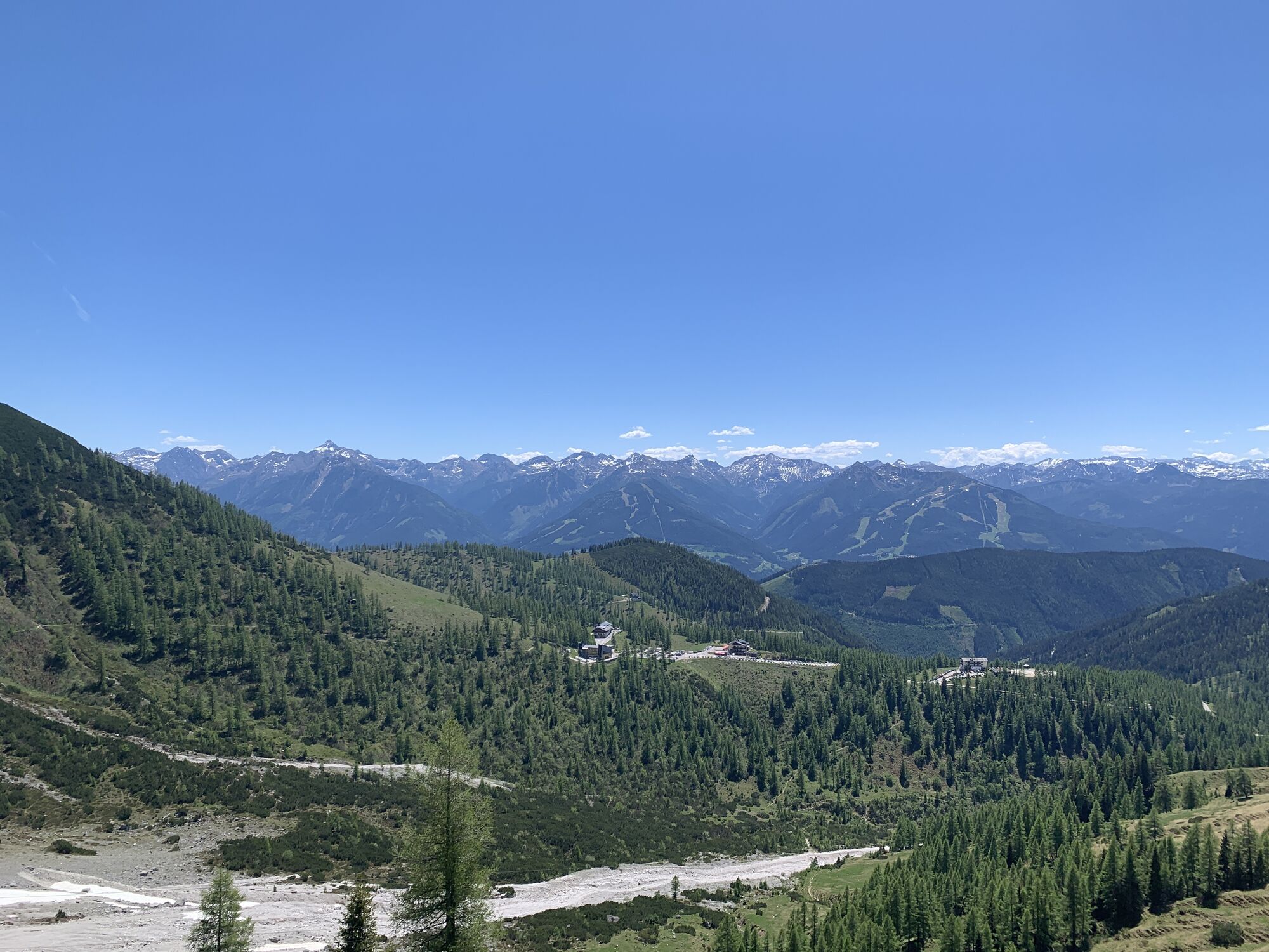
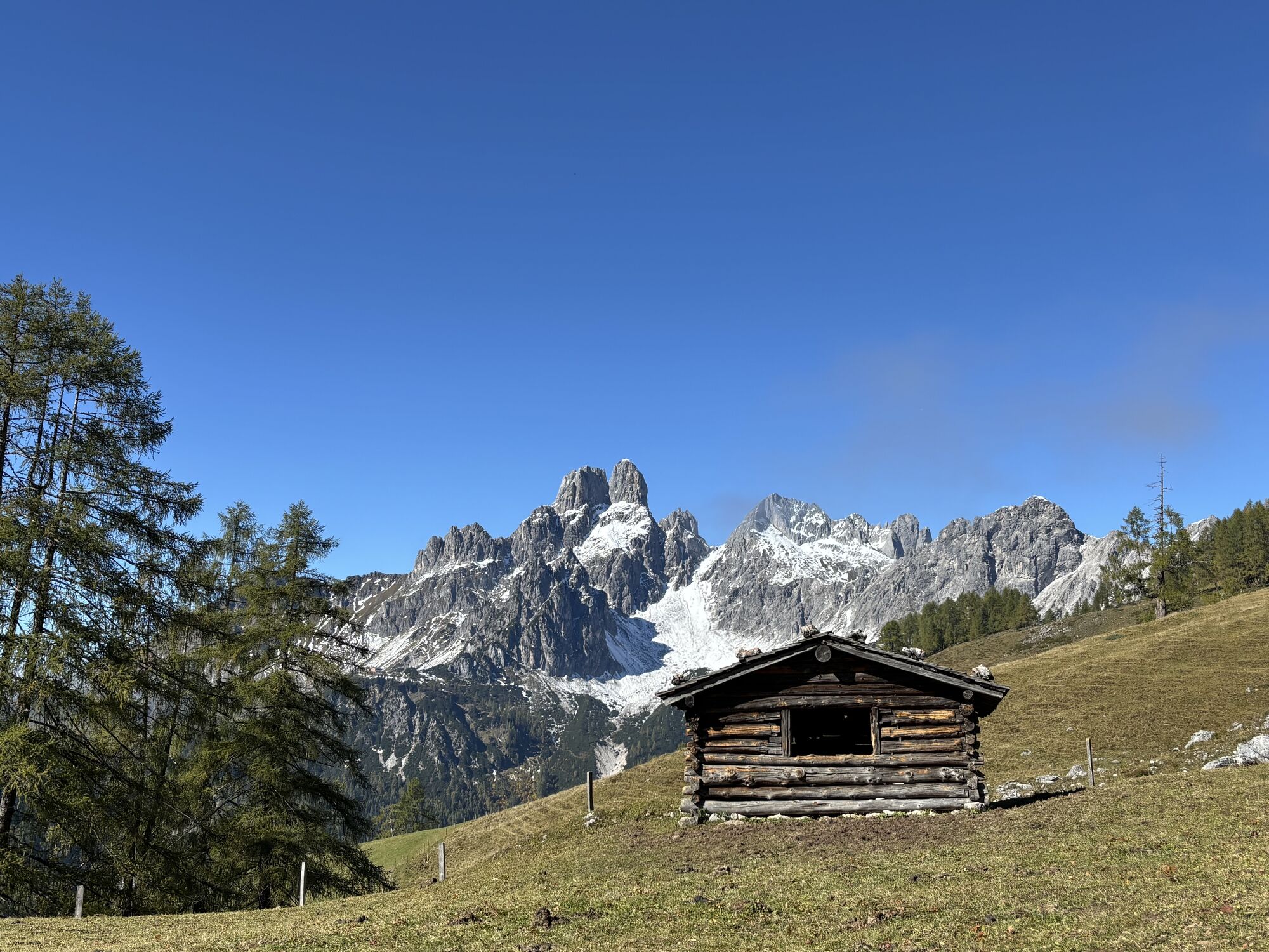
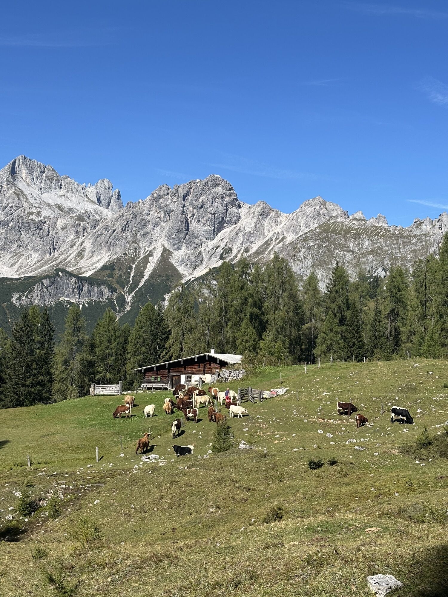
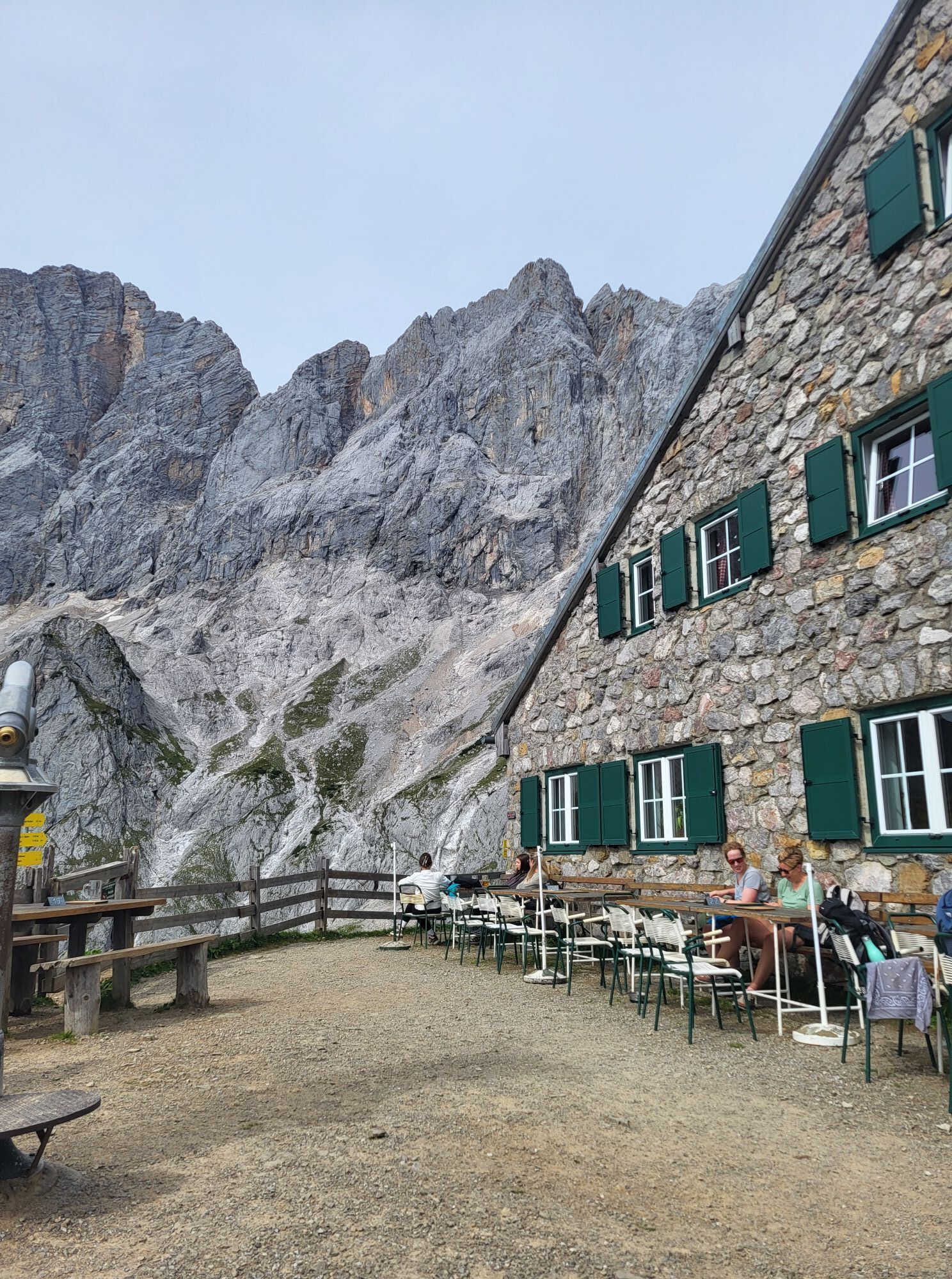
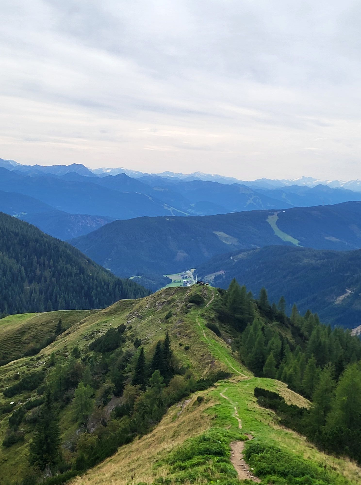
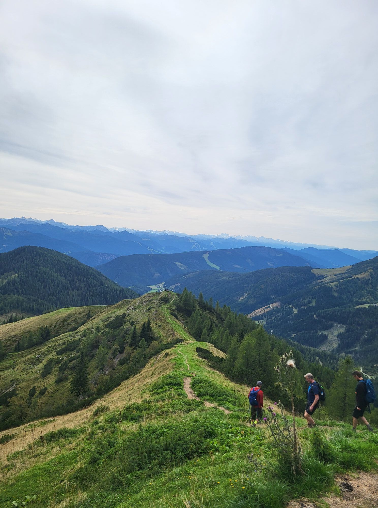
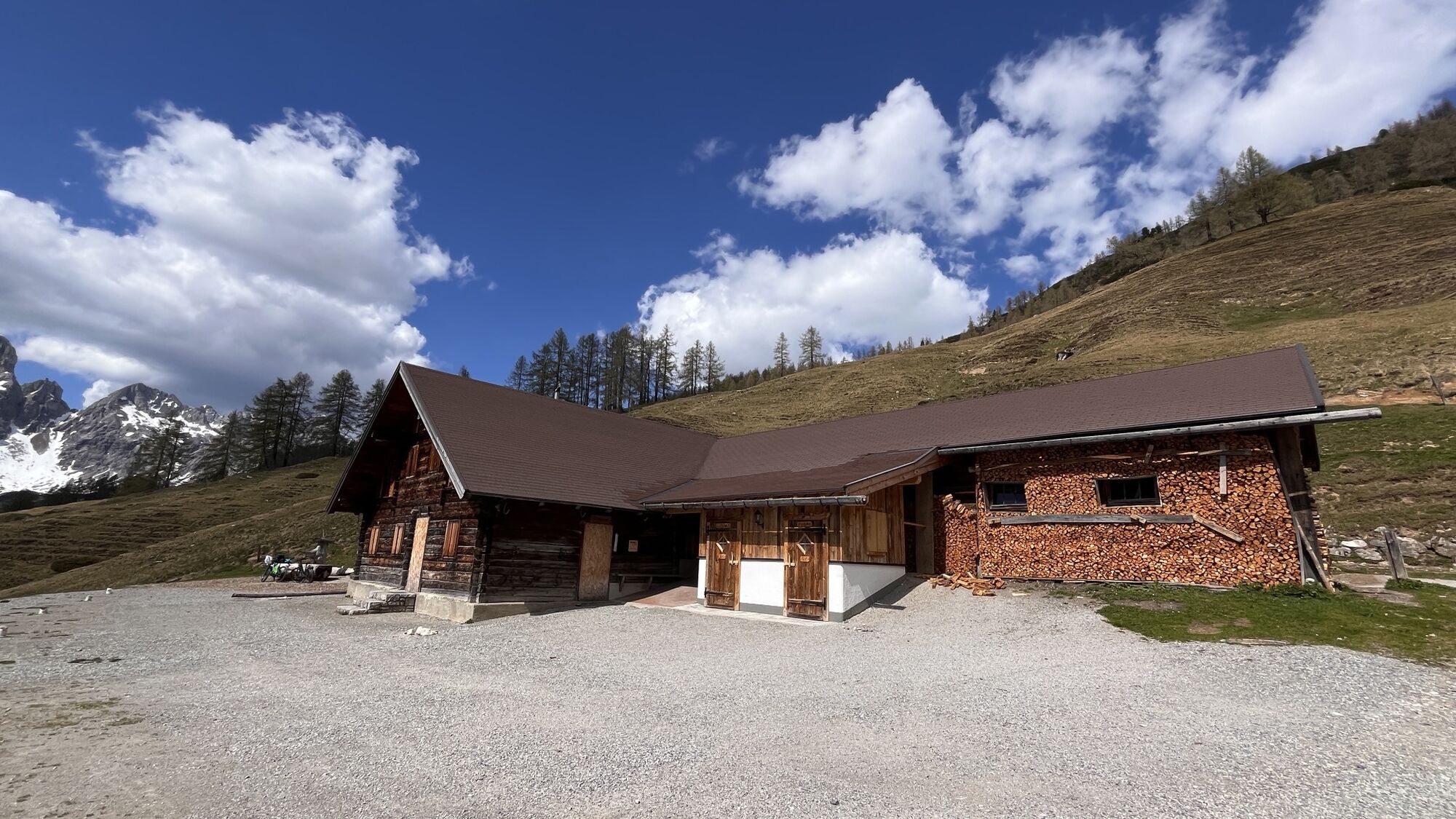
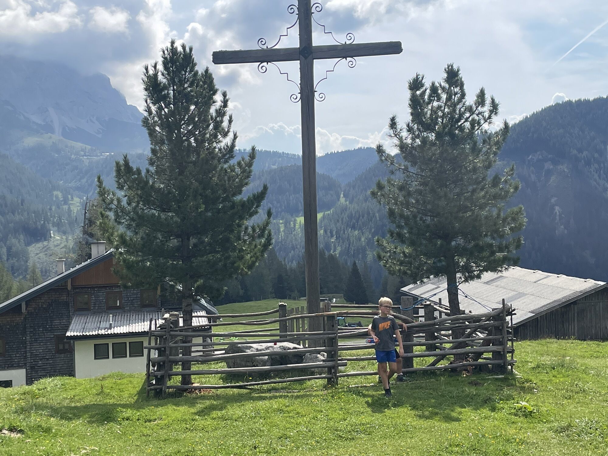
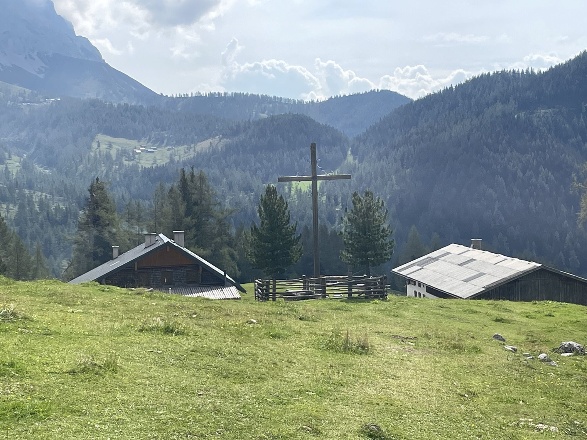
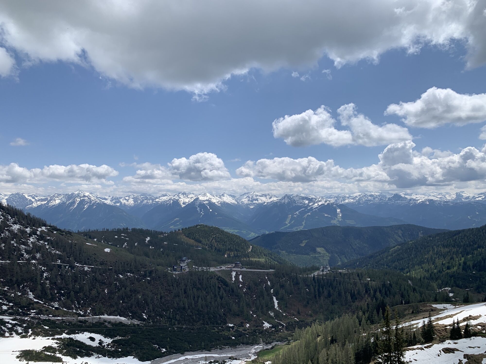
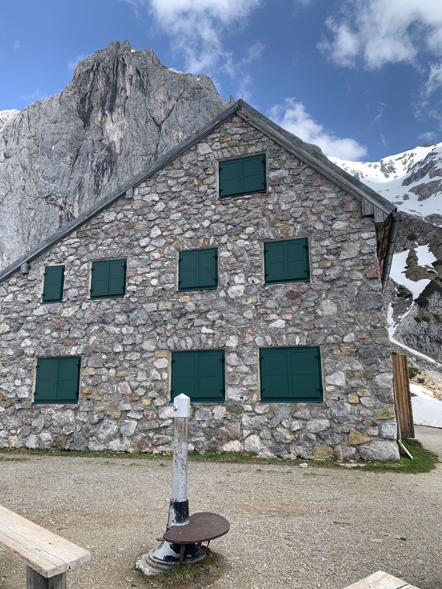
It then continues over the lower Windleger basin towards Sulzenhals. Over the Sulzenhals, you reach the Sulzenalms (Wallehen and Krahlehen huts). Via the "old Sulzenalmen trail" it goes back to Filzmoos.
Tak
In case of thunderstorms: Avoid summits, ridgelines, and fixed-rope sections at all costs.
A good backpack is helpful, and for routes in alpine terrain, a hat, gloves, a good jacket, and pants are essential basic equipment. Sturdy, waterproof footwear, sunglasses, sun protection, and plenty of fluids are also crucial. A flashlight, map material, knife, and a small first aid kit should always be part of your gear.
Available GPS data – like hiking maps – are only intended as orientation aids, as they can never fully represent the exact layout or detail of a trail in reality. Especially in potentially dangerous areas, it is essential to make decisions based on the actual conditions on site regarding whether and how to proceed.
In case of emergency, please call:
140 – for alpine emergencies – valid throughout Austria 112 – European emergency number / GSM emergency service
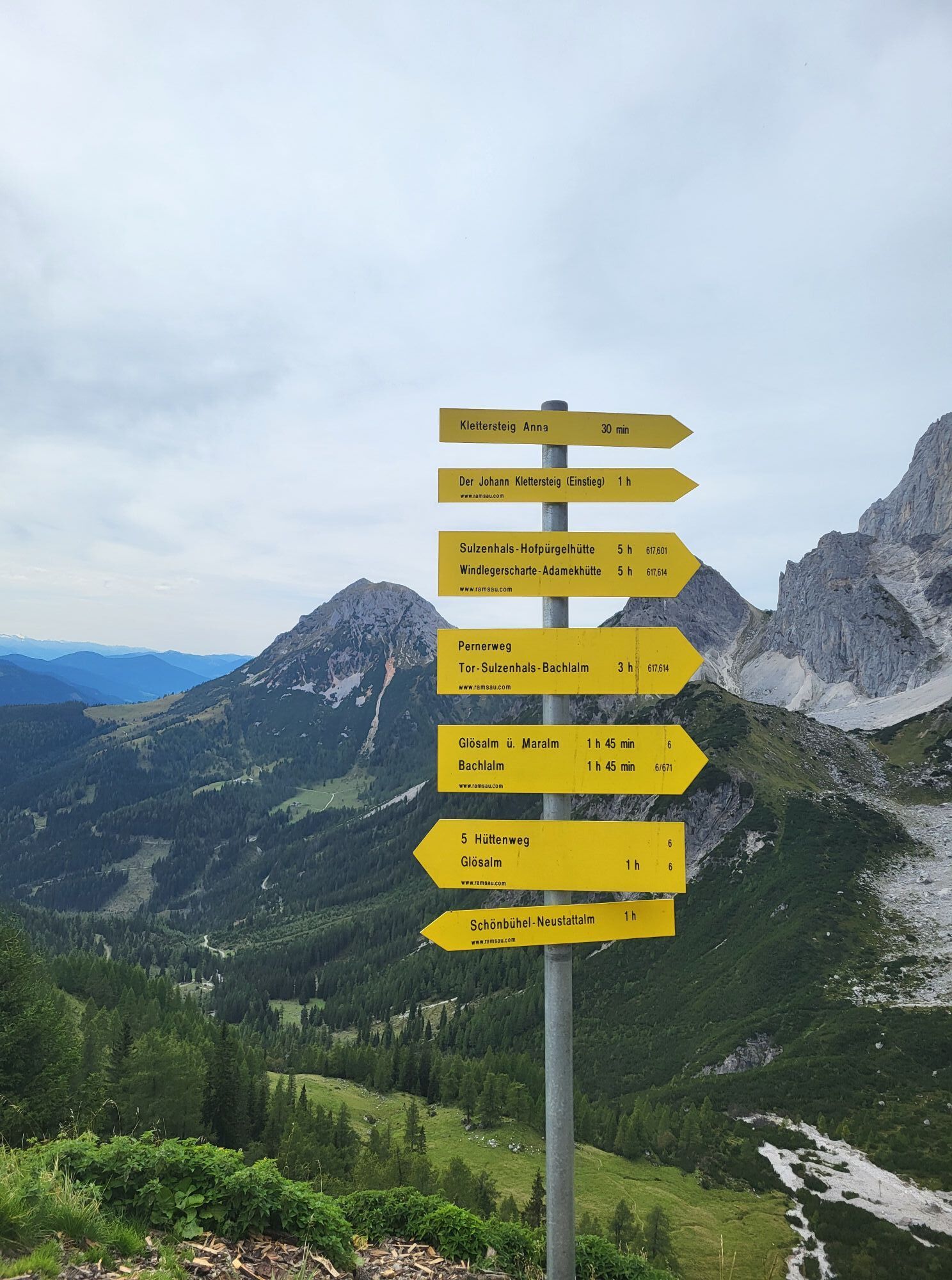
Black route - this should only be undertaken by experienced hikers with a mountain guide. Surefootedness and a head for heights are prerequisites for this route.
NO DOGS ALLOWED:
On hiking trail #671 from Bachlalm towards Neustadtalm there is an absolute NO DOGS ALLOWED rule.
Take the Tauern Autobahn A10 and exit at Eben. Turn left towards Filzmoos. After 11 km, you will reach a roundabout. Take the first exit (direction Hachau / Ramsau am Dachstein). Follow the road for about 5 km until you reach the Dachsteinruhe parking area.
Coming from Ramsau am Dachstein:
Follow Ramsauerstraße (Ramsau Ort) heading west, towards Filzmoos / Rössing, staying on the main road through Ramsau. Follow the signs for “Bachlalm.” After a few minutes, you will reach the Bachlalm turn-off on the right, while the free “Dachsteinruhe” parking area is on the left.
Nearest train stations: Eben im Pongau or Radstadt (on the Salzburg – Bischofshofen – Schladming – Graz line). From Salzburg main station, regular trains (approx. every hour) go in that direction. The journey takes around 1 hour.
By Bus or Taxi:
From Eben im Pongau or Radstadt, take bus line 521 directly to Filzmoos (approx. 20–30 minutes). Taxis are also available at the station if you prefer a direct ride.Tip: Buses are not very frequent, so it's best to check the schedule in advance at www.oebb.at
With the Fidibus Summer:
From Hotel Neubergerhof, the Fidibus Summer (hiking bus) takes you from Neuberg to Filzmoos, stopping at the “Abzweigung Bachlalm” bus stop. Click here for the timetable.
The Bachlalm is continue with the paid shuttle bus.
Parking lot Dachsteinruhe
KOMPASS Hiking Map 031 “The Dachstein, Ramsau, Filzmoos” – 1:25,000 (Highly detailed, weatherproof paper. Ideal for planning and for use on the go.)
If you’re lucky, you can see many chamois and even ibex.
Kamery internetowe z trasy
-
Rossbrand
-
Bergstation Dachstein Hunerkogel
-
Ramsau am Dachstein / Leiten
-
Aparthotel Jagdhof Filzmoos
-
Aparthotel Jagdhof Filzmoos
-
Ramsau - Aparthotel Ramsau
-
Ramsau - Aparthotel Ramsau
-
Ramsau a. D. - Rittisberg
-
Ramsau / Lindenhof - Ramsbergerhof
-
Dachstein
-
Ramsau am Dachstein - Rittisberg Beach
-
Papageno Bergstation
-
Radstadt - Rossbrand
-
Simonyhütte
-
Simonyhütte - Dachstein Gletscher
-
Ferienanlage Reithof
Popularne wycieczki w okolicy
-
4,2
Heilbronner Rundwanderweg
światłoWędrówka 9,04 km -
4,3
Filzmoos: Rötelstein (Rettenstein)
Wędrówka 9,50 km -
4,5
Ramsau am Dachstein: Steinerne Jungfrauen
Wędrówka 8,11 km -
4,8
Tour around the Gosaukamm
średniWędrówka 20,9 km -
4,8
Planai Runde | 304
średniMountainbike 34,1 km -
4,8
4-Jahreszeiten Wanderweg
średniWędrówka zimą 5,94 km -
4,7
Tour around the Lake Gosau
światłoWędrówka 4,43 km -
4,7
Tor-Wanderung
ciężkiWędrówka 14,2 km -
4,5
Adamekhütte vom Vorderen Gosausee
średniWędrówka 23,2 km -
4,9
Das Trippel in der Silberkarklamm
średniVia ferrata 6,70 km
Wędrówki i tropienie


Nie przegap ofert i inspiracji na następne wakacje
Twój adres e-mail została dodana do listy mailingowej.