







Seekar Lake

Starting from Krimml, the trail leads slightly above the WasserWelten over the Blaubach and soon afterwards over the Gerlos Alpine Road. Then it goes steeply uphill through the forest. The path follows...
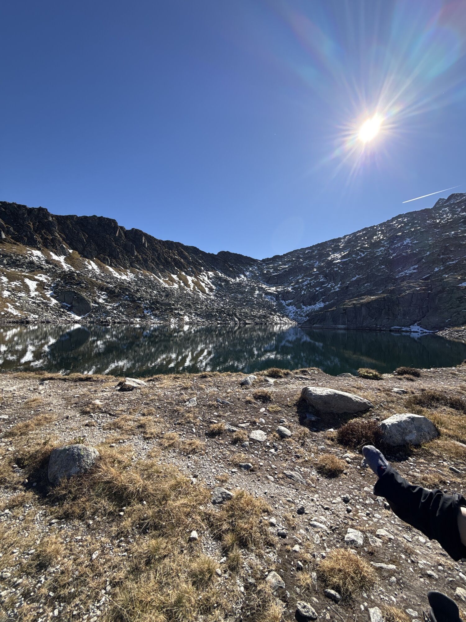
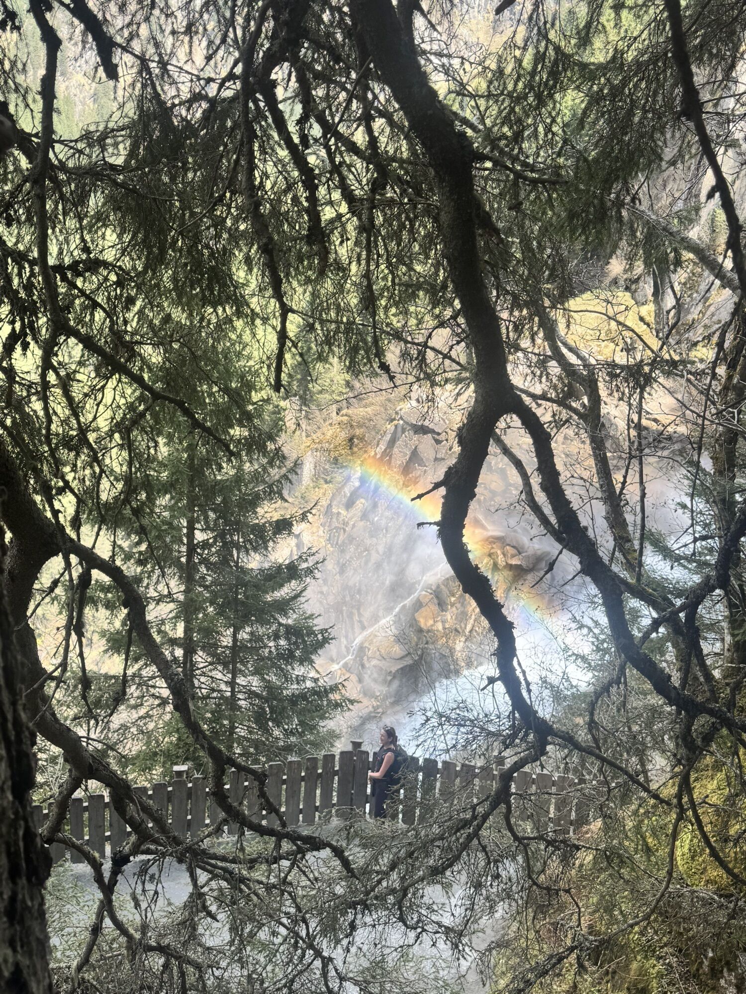
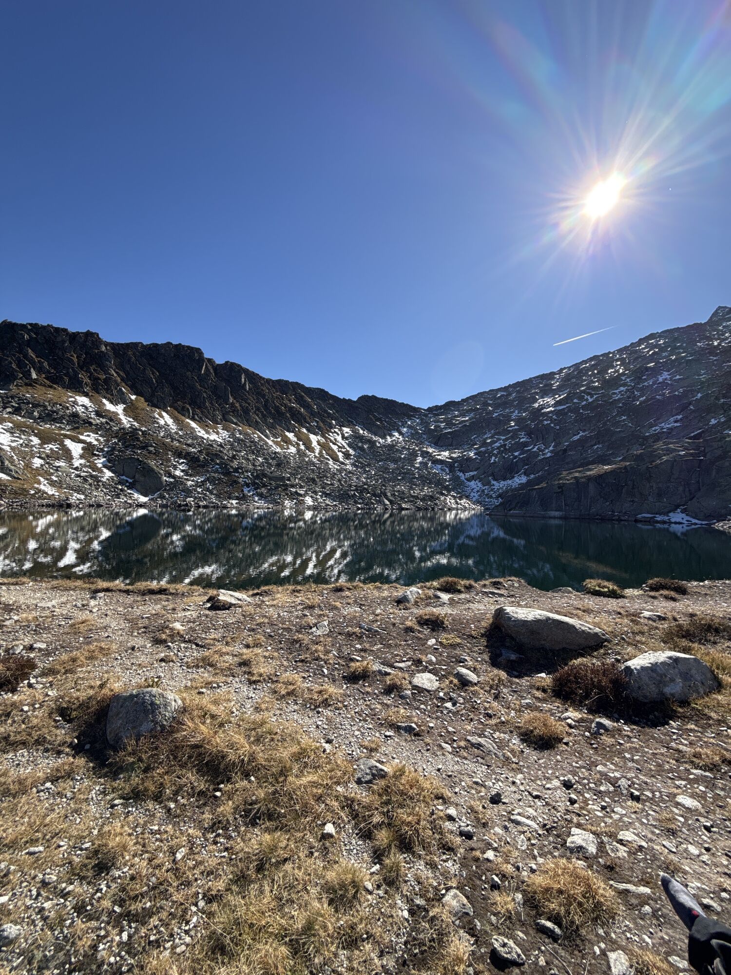
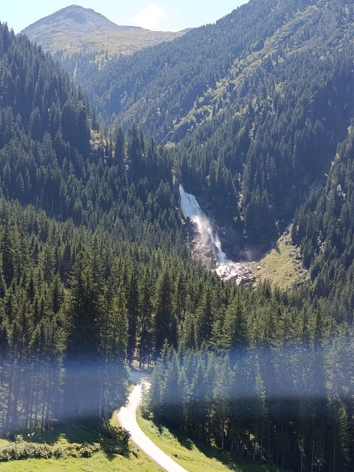
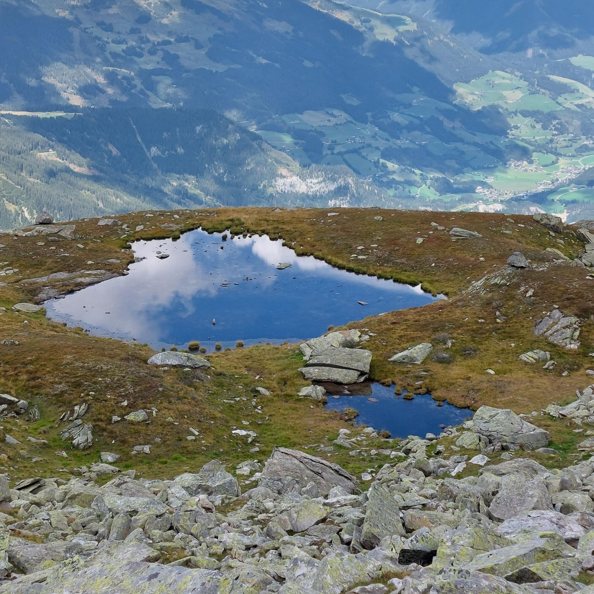
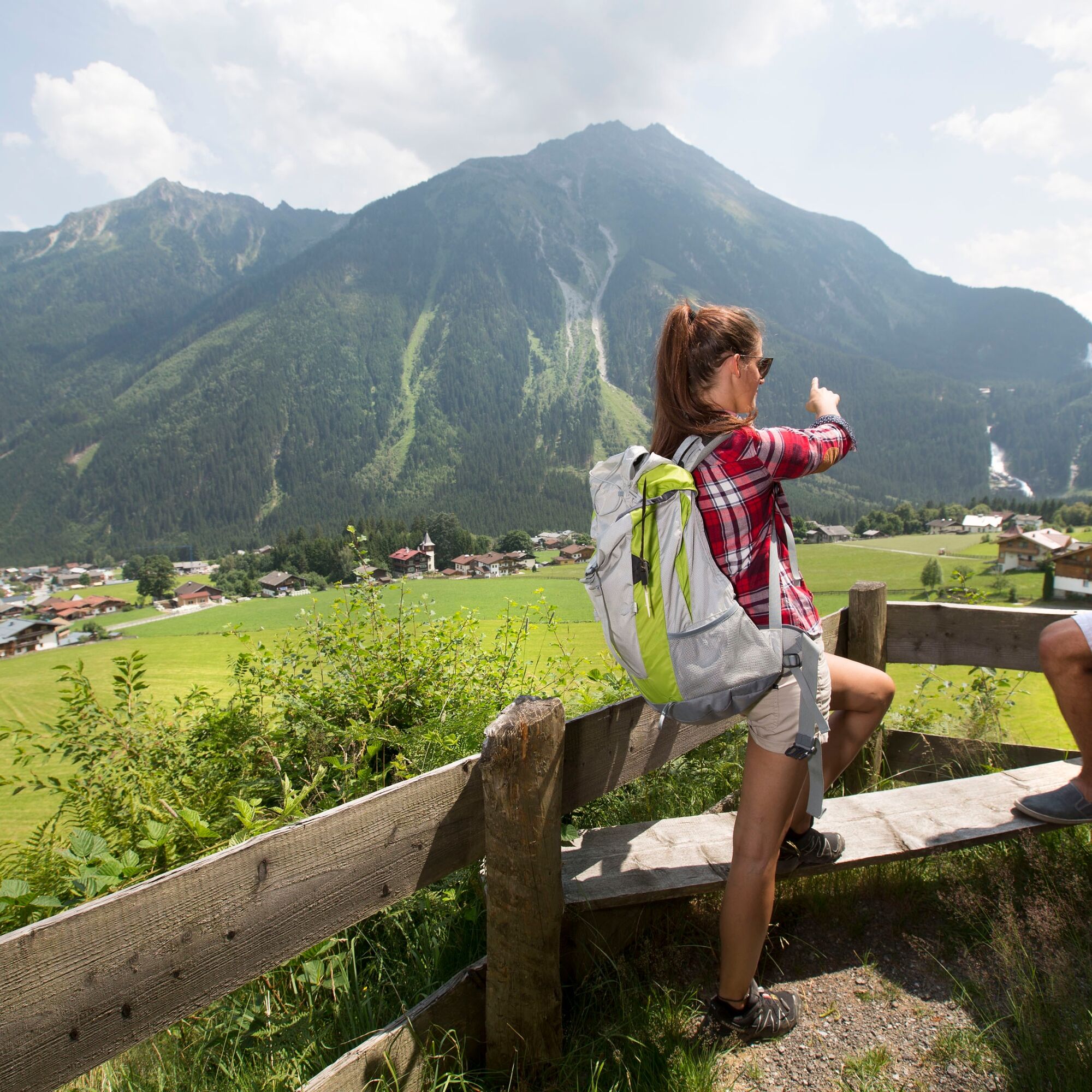
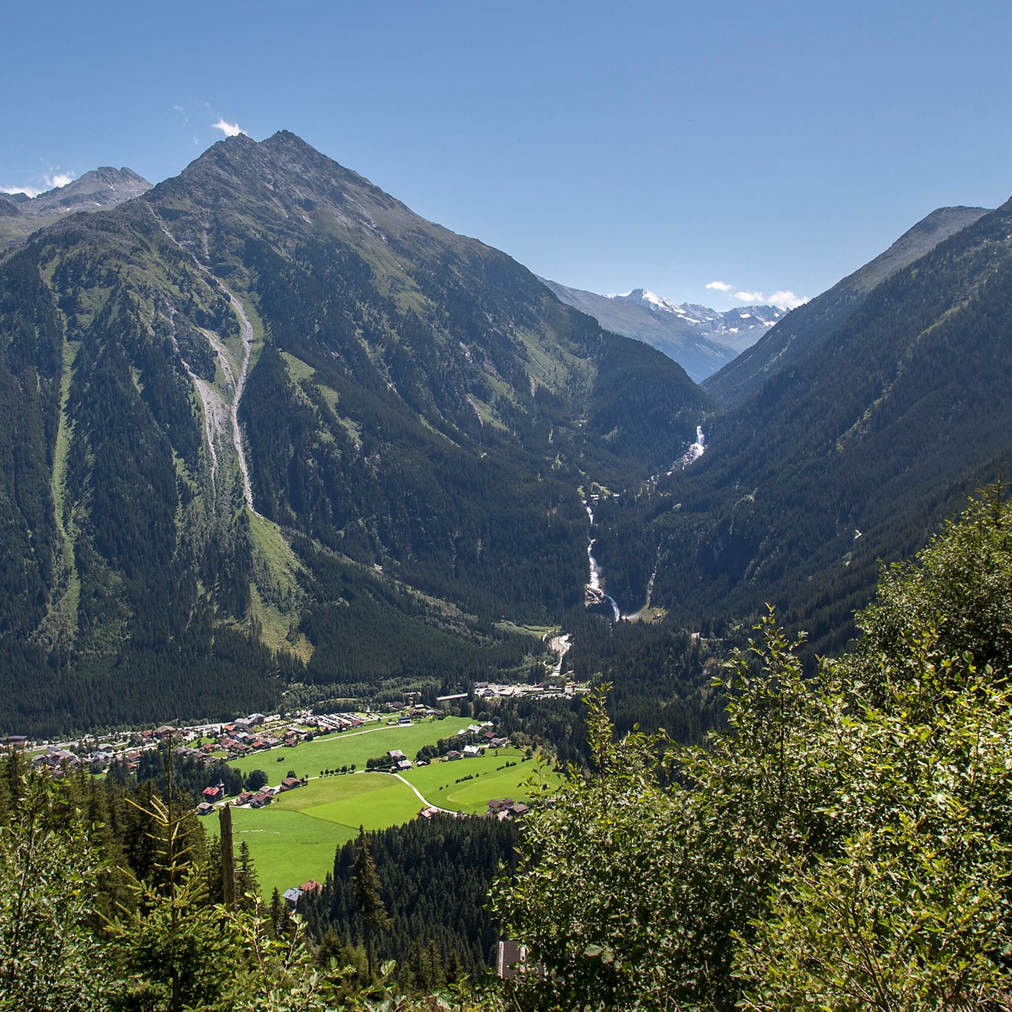
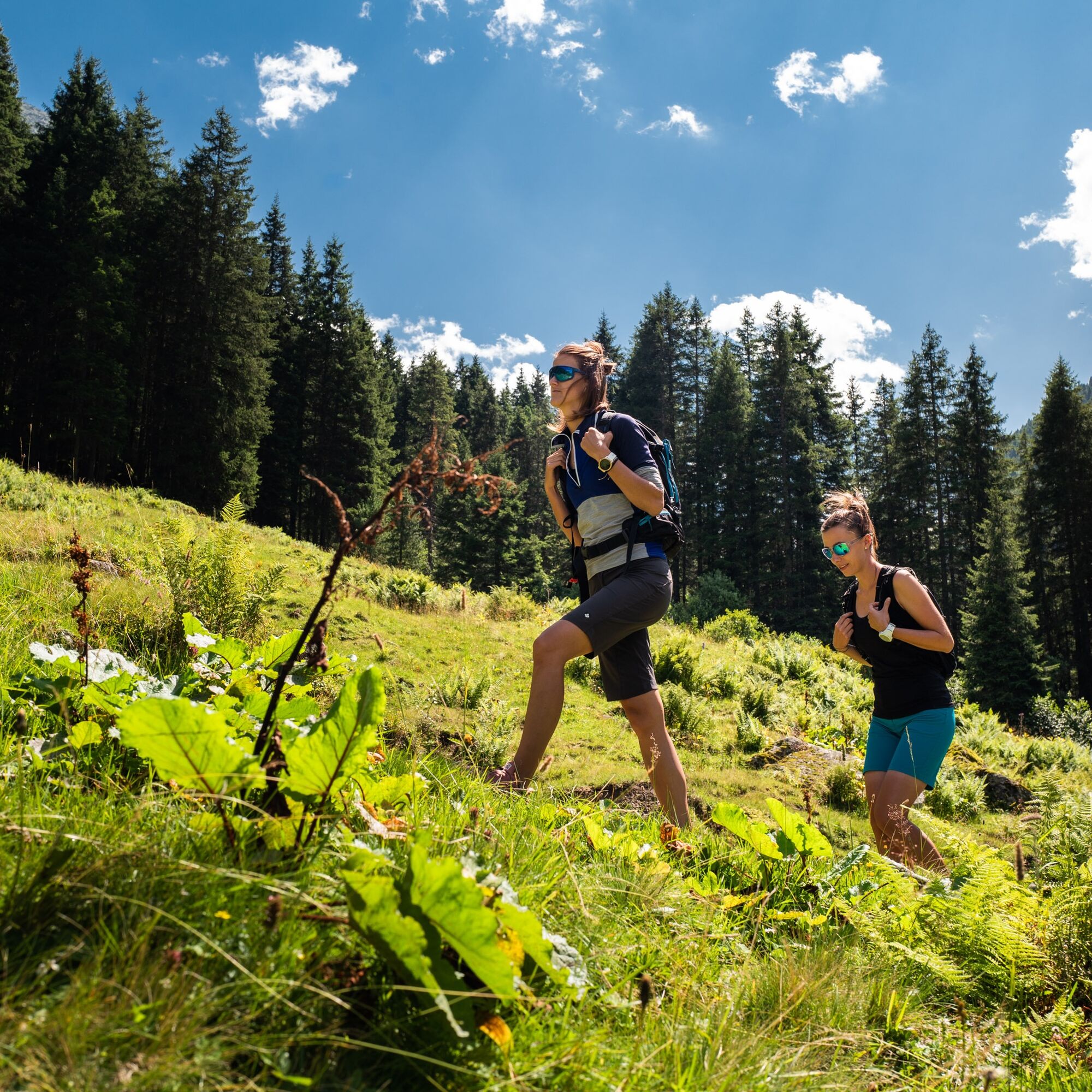
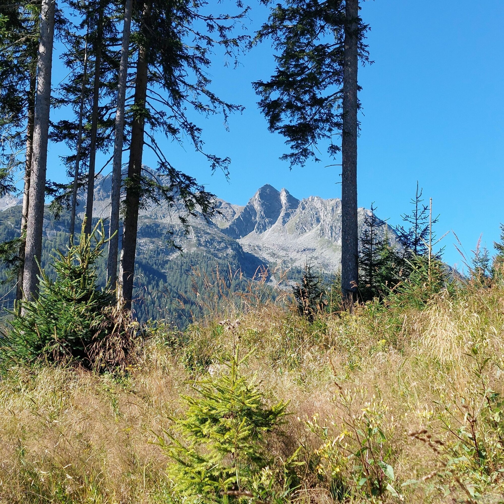
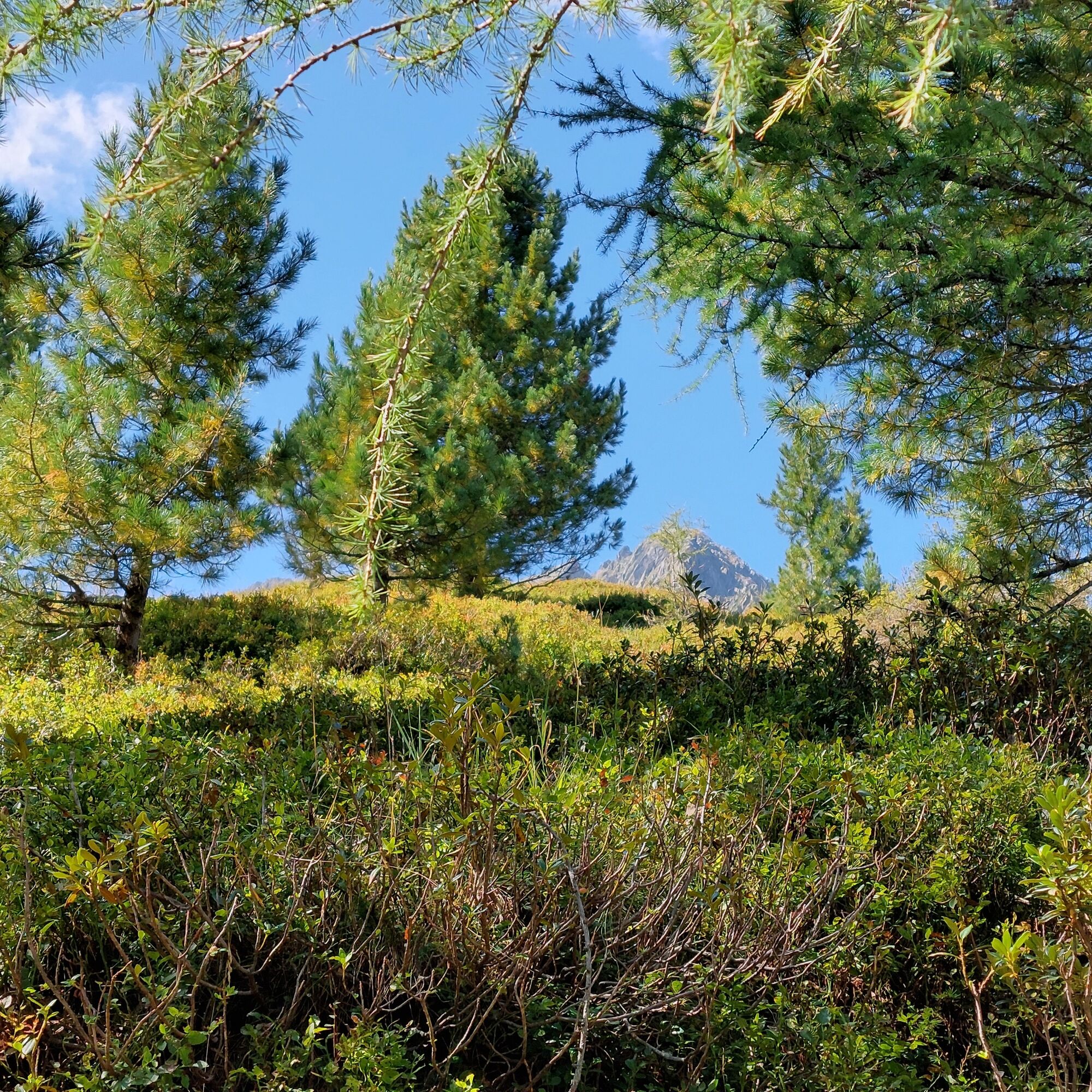
Starting from Krimml, the trail leads slightly above the WasserWelten over the Blaubach and soon afterwards over the Gerlos Alpine Road. Then it goes steeply uphill through the forest. The path follows the small Seebach until the forest thins out and you reach the unmanaged Seekar Alm. In this part of the route, you are rewarded with a great view of Krimml and the Salzach Valley. The last section to Seekar Lake climbs over some glacier-formed rock slabs. On hot days, the clear high mountain lake offers a welcome refreshment. Since there is no catering option on this route, you should definitely pack enough drinks and snacks.

Path No.: 19
Krimml - Anton Wallner Birthplace (Salzburg Freedom Fighter) and old customs houses of Krimml - Seekar Hut - Seekar Lake.
Hiking boots, weatherproof clothing, snack and water bottle, hiking poles and headwear recommended
Coming from Tyrol via the Gerlos Alpine Road, from the east via the B165 from the direction of Mittersill.
By Postbus to the stop "Krimml Waterfalls" or "Krimml town center".
If arriving by Pinzgau Lokalbahn, a rail replacement service runs between the stops "Niedernsill" and "Krimml station".
A free day parking lot is located in the town center; if this is already full, you will find paid, well-signposted parking lots directly next to the federal road.
Tourism Association Krimml/Hochkrimml: Tel.: +43 (0)6564/7239-0 or www.krimml.at
Headwear (hat, scarf, etc.) as sun and heat protection, and don't forget some food and drinks (no catering options).
 Uzyskaj wgląd Zawsze na żywo z ponad 9 500 kamer internetowych. bergfex Jako użytkownik Pro, możesz teraz zobaczyć odpowiednie kamery internetowe dla wielu wycieczek w aplikacji wycieczki od. Pozwala to na bezpośredni podgląd aktualnych warunków.
 Popularne wycieczki w okolicy
- 4,2
Gerlos: Stausee Rundwanderung
średniWędrówka 12,5 km - 4,7
Zittauer Hut
średniWędrówka 6,85 km - 3,7
Smaragdwanderweg Habachtal/Bramberg
światłoWędrówka 7,17 km - 4,4
Krimml Waterfall Path - Panorama Viewing Path
średniWędrówka 4,74 km - 4,3
Krimmler Tauernhaus
średniWędrówka 10,4 km - 4,8
Krimmler Achental
średniE-Bike 18,4 km - 4,6
Kröndlhorn (2.444m)
ciężkiWędrówka 13,5 km - 4,6
Krimmlerwasserfälle
średniWędrówka 10,5 km - 4,4
Krimml Waterfalls
średniWędrówka 12,4 km - 4,4
Plattenkogel (circular route)
średniWędrówka 7,67 km
Wędrówki i tropienie


Nie przegap ofert i inspiracji na następne wakacje
Twój adres e-mail została dodana do listy mailingowej.





