







Rauris: Wörth - Bucheben - Almgasthaus Lechnerhäusl - Alpengasthof Bodenhaus - Alte Buchebenstraße no. 28
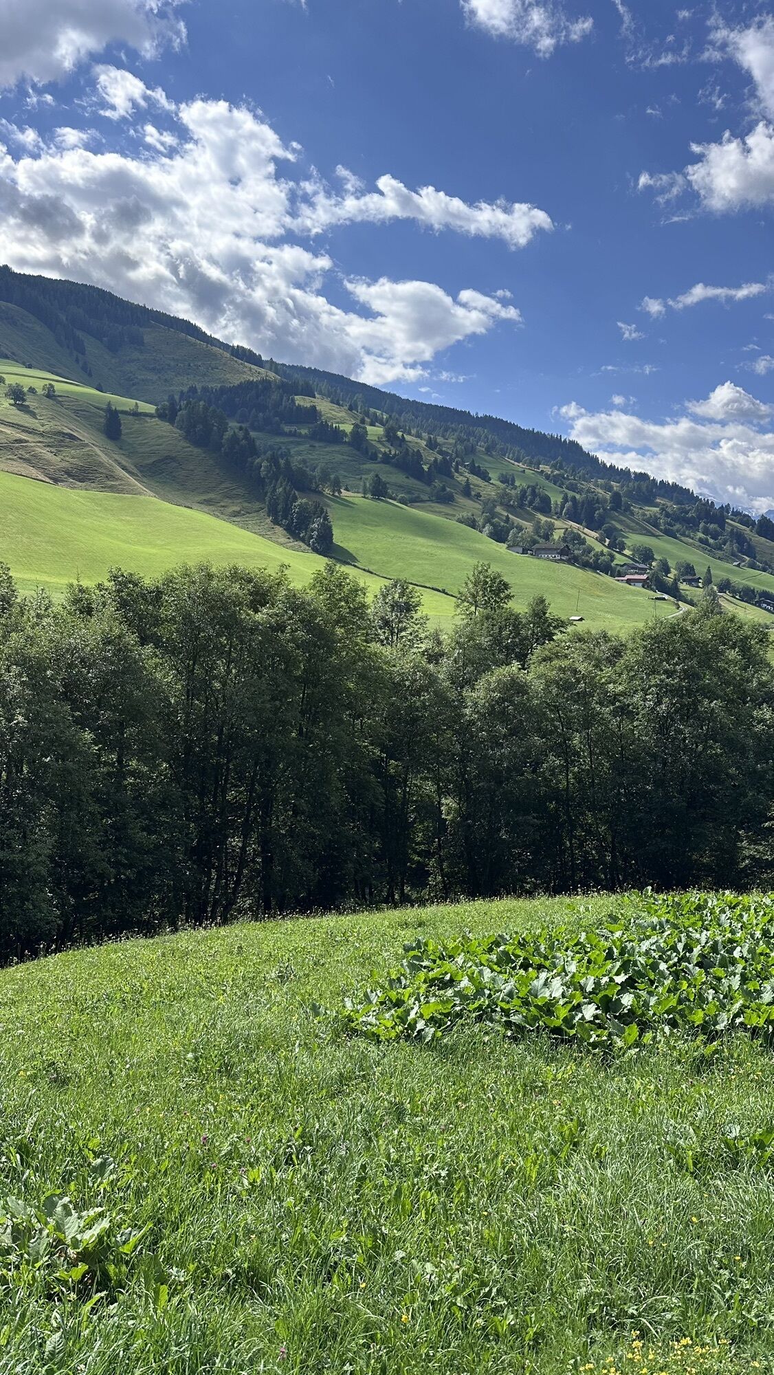
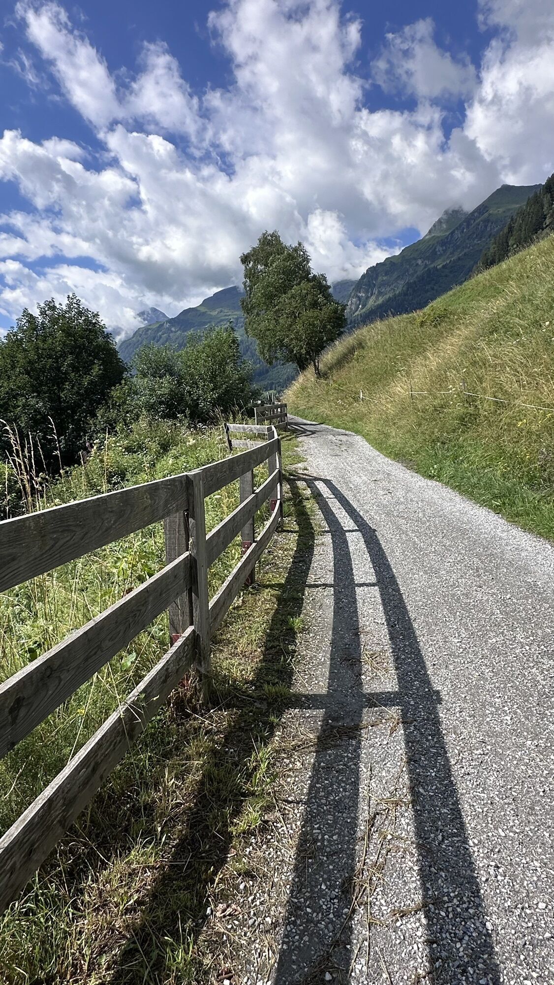
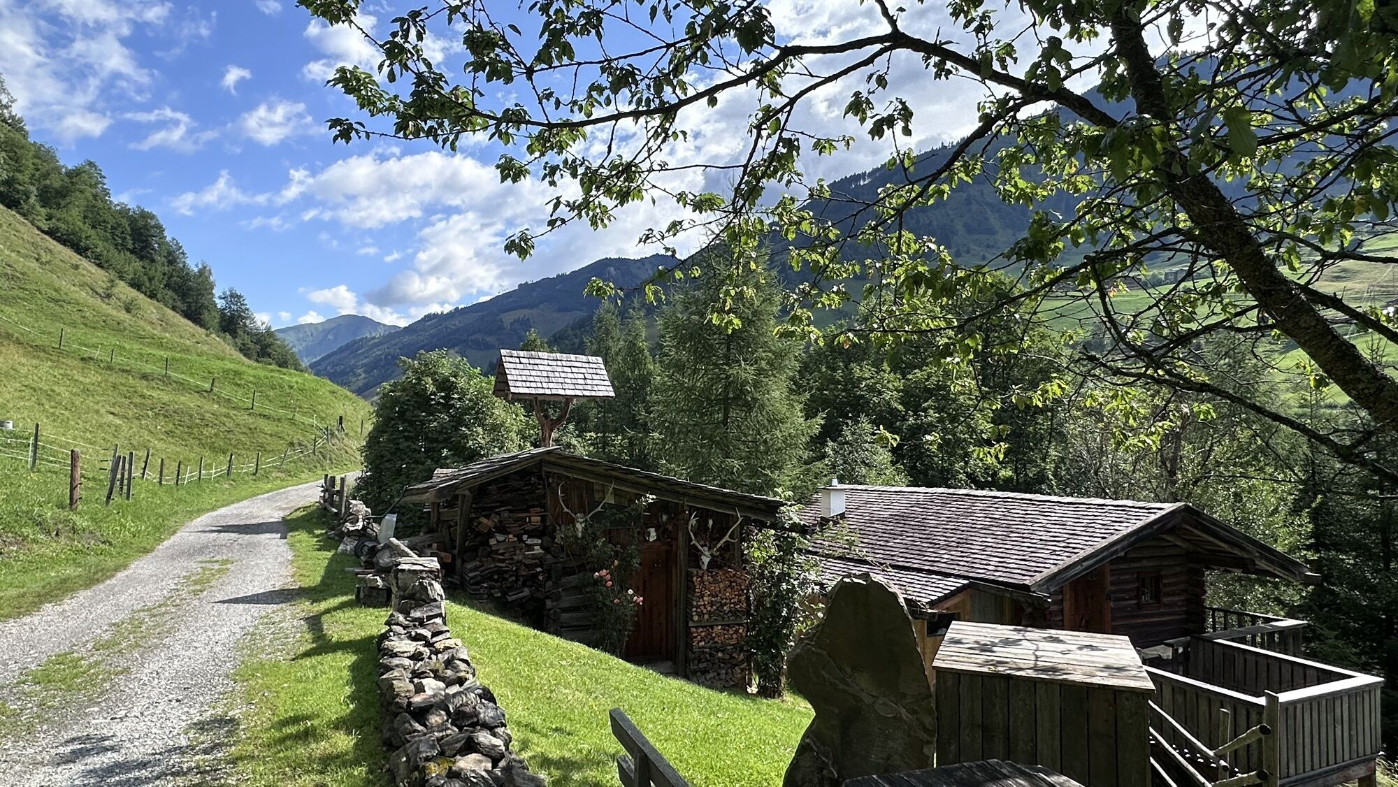
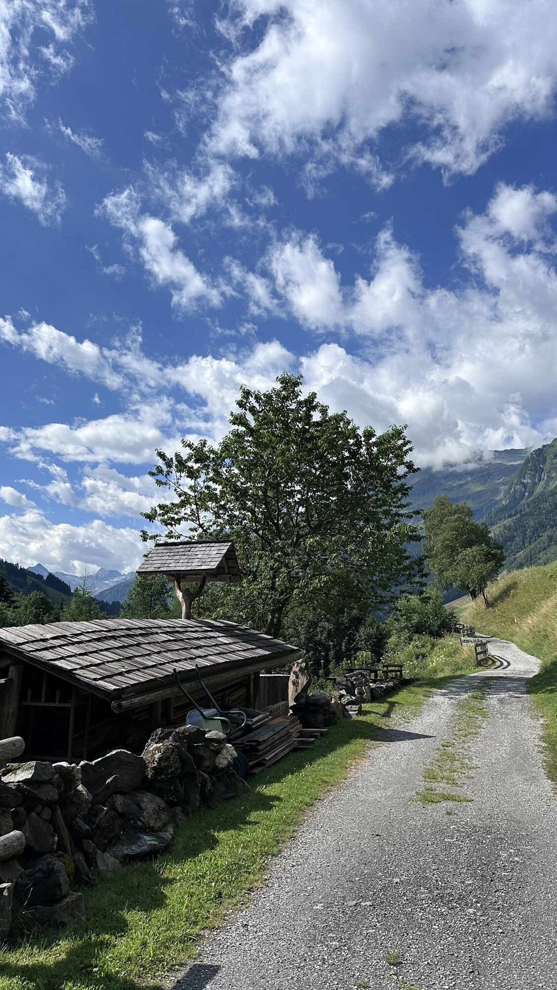
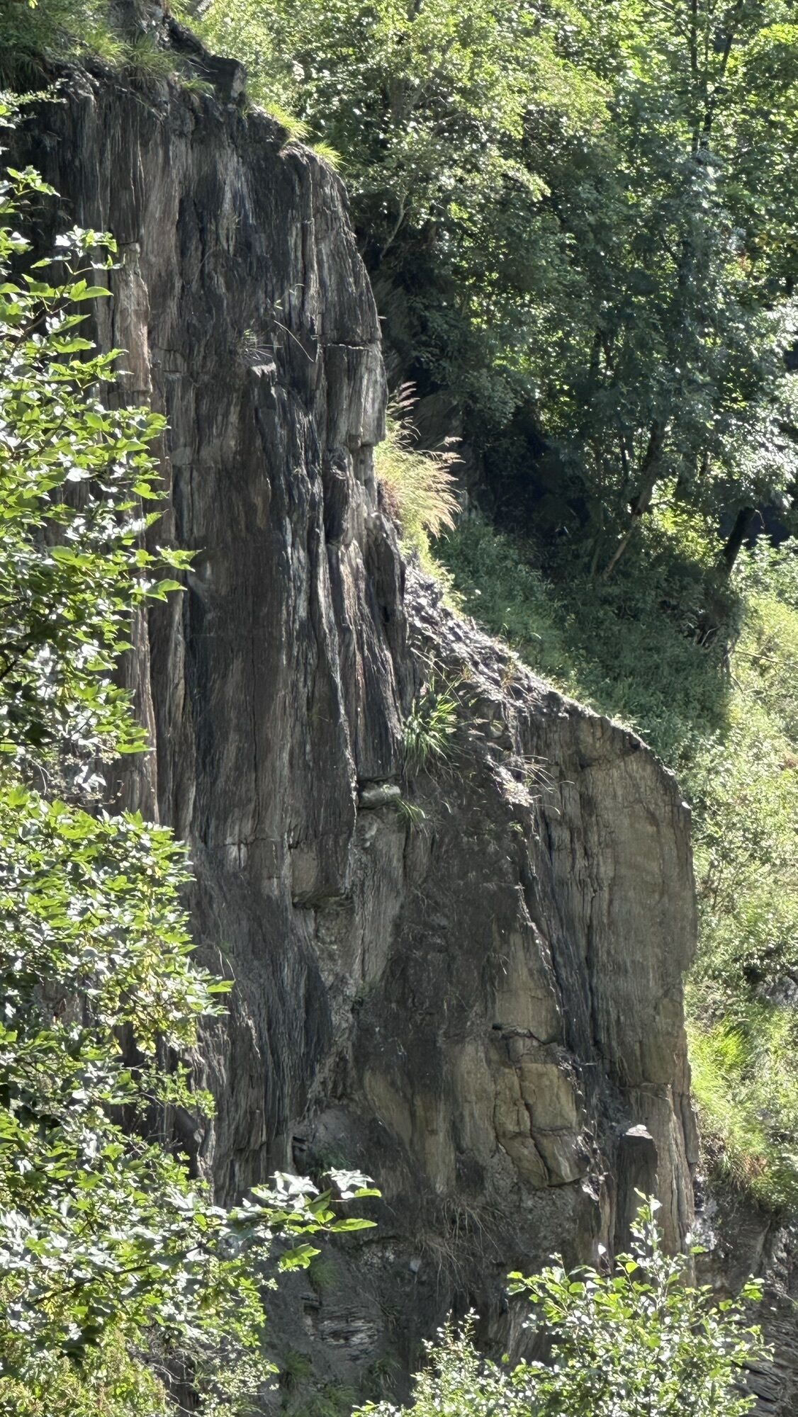
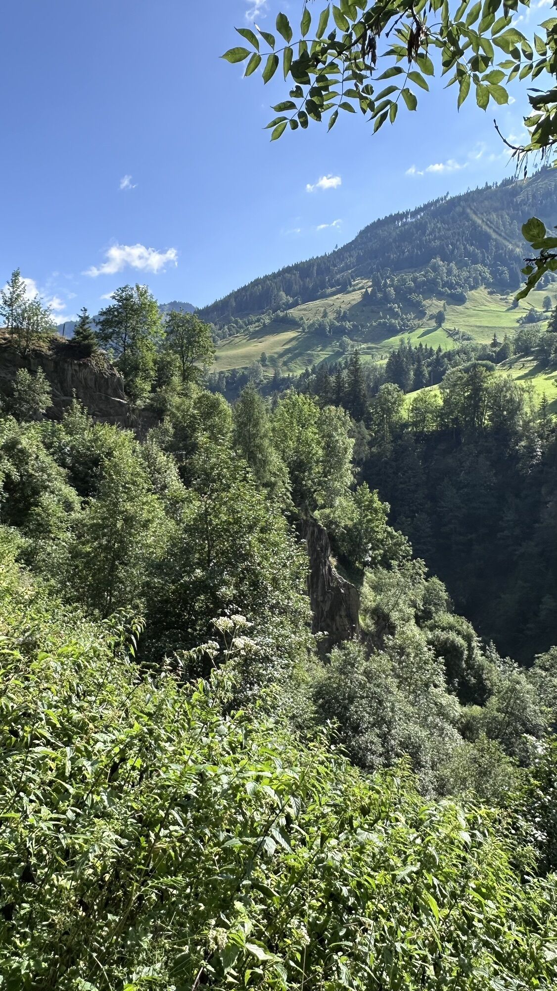
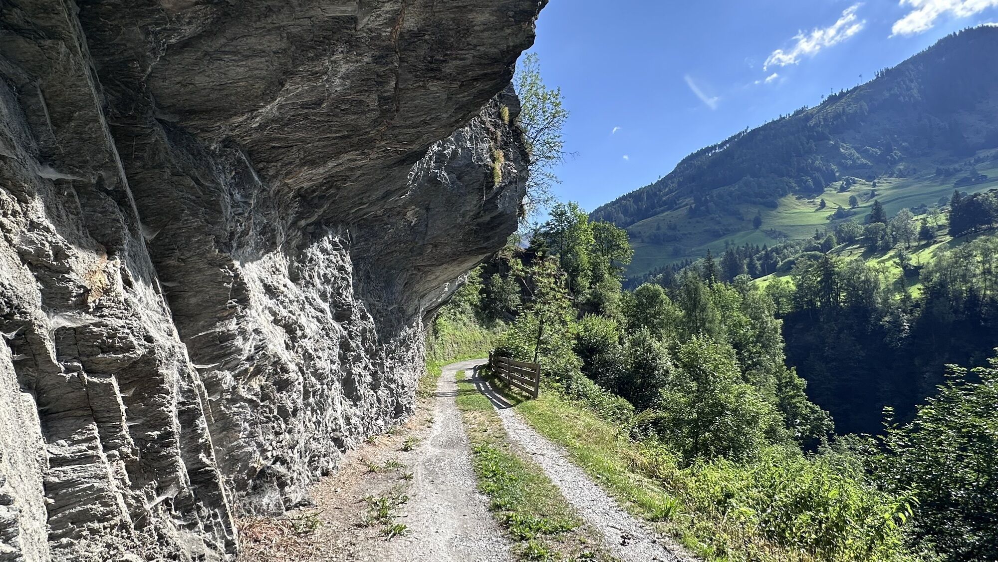
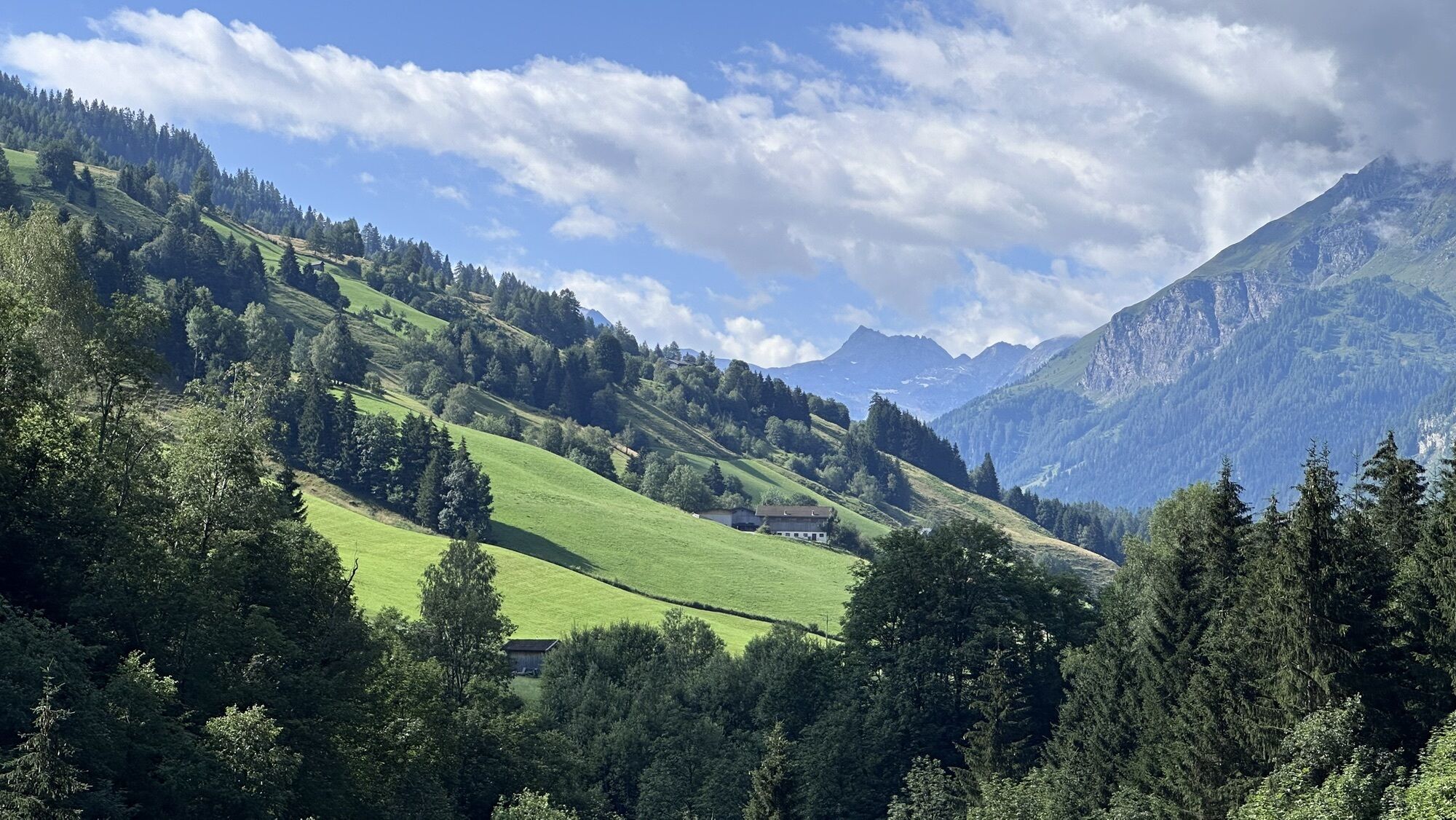
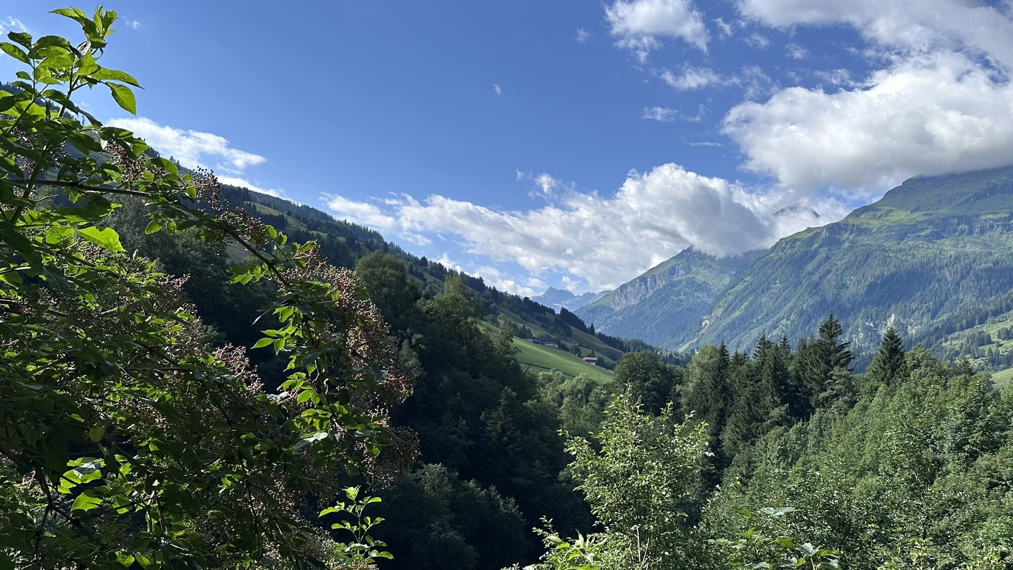
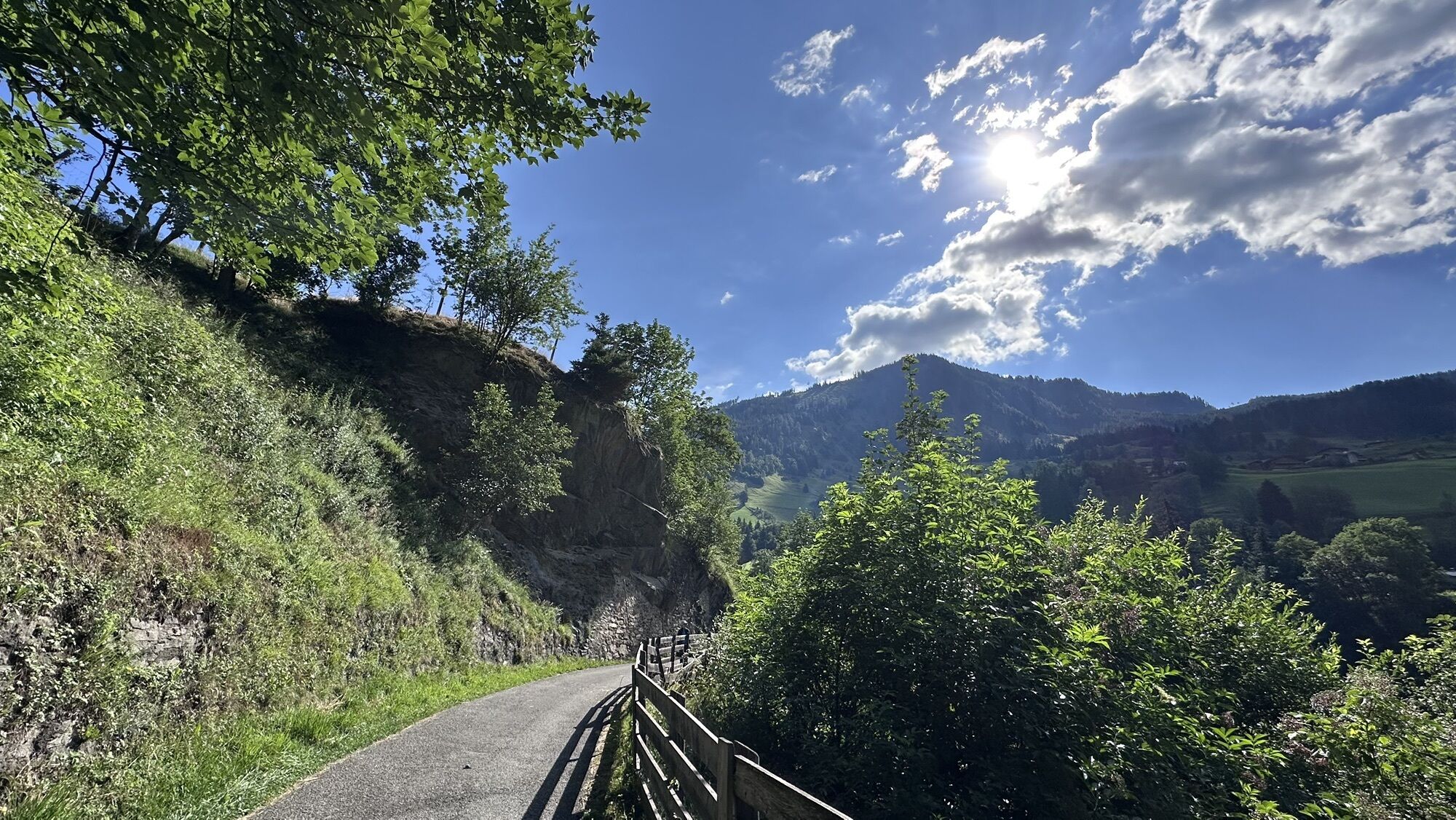
The first part of this hike runs on the sidewalk along the main road towards Bucheben. At Gästehaus Luggau there is a turnoff to the right onto Pfandlerweg and then left onto the initially paved "Alte...
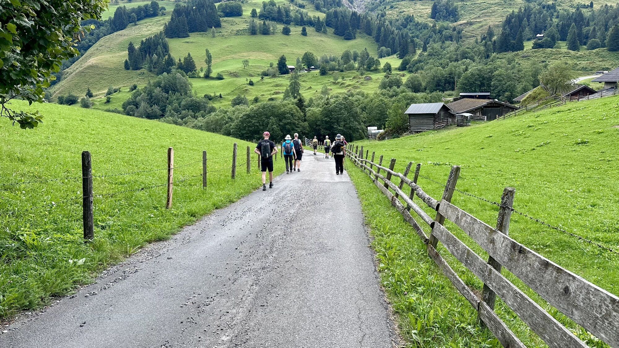
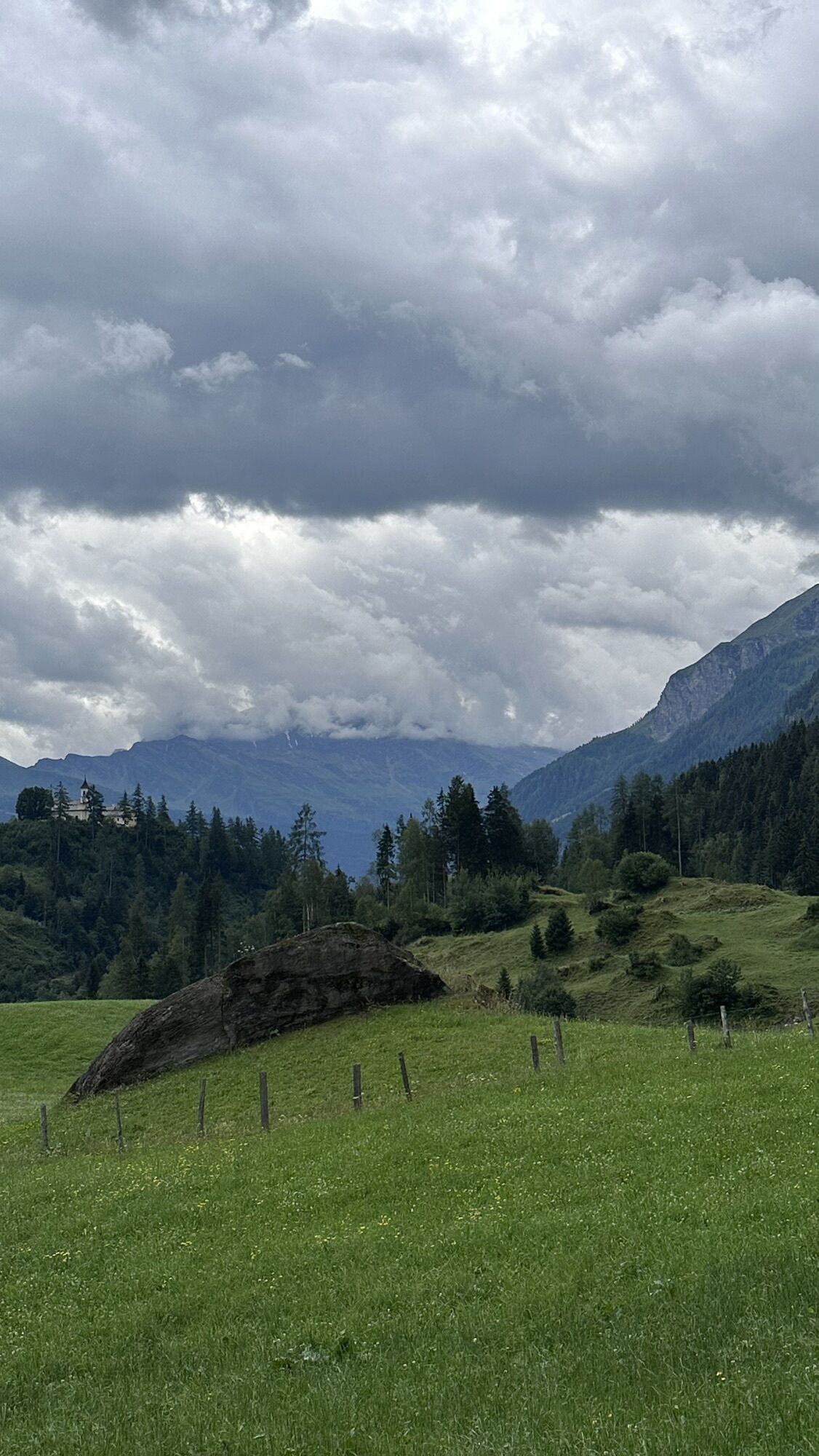
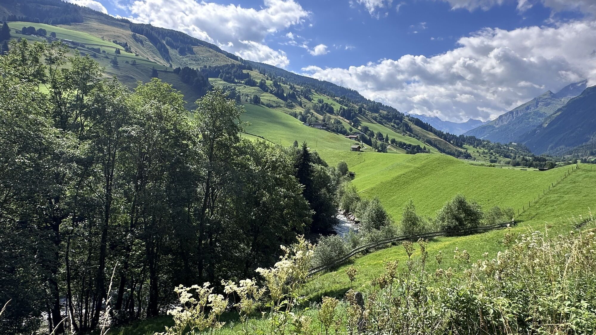
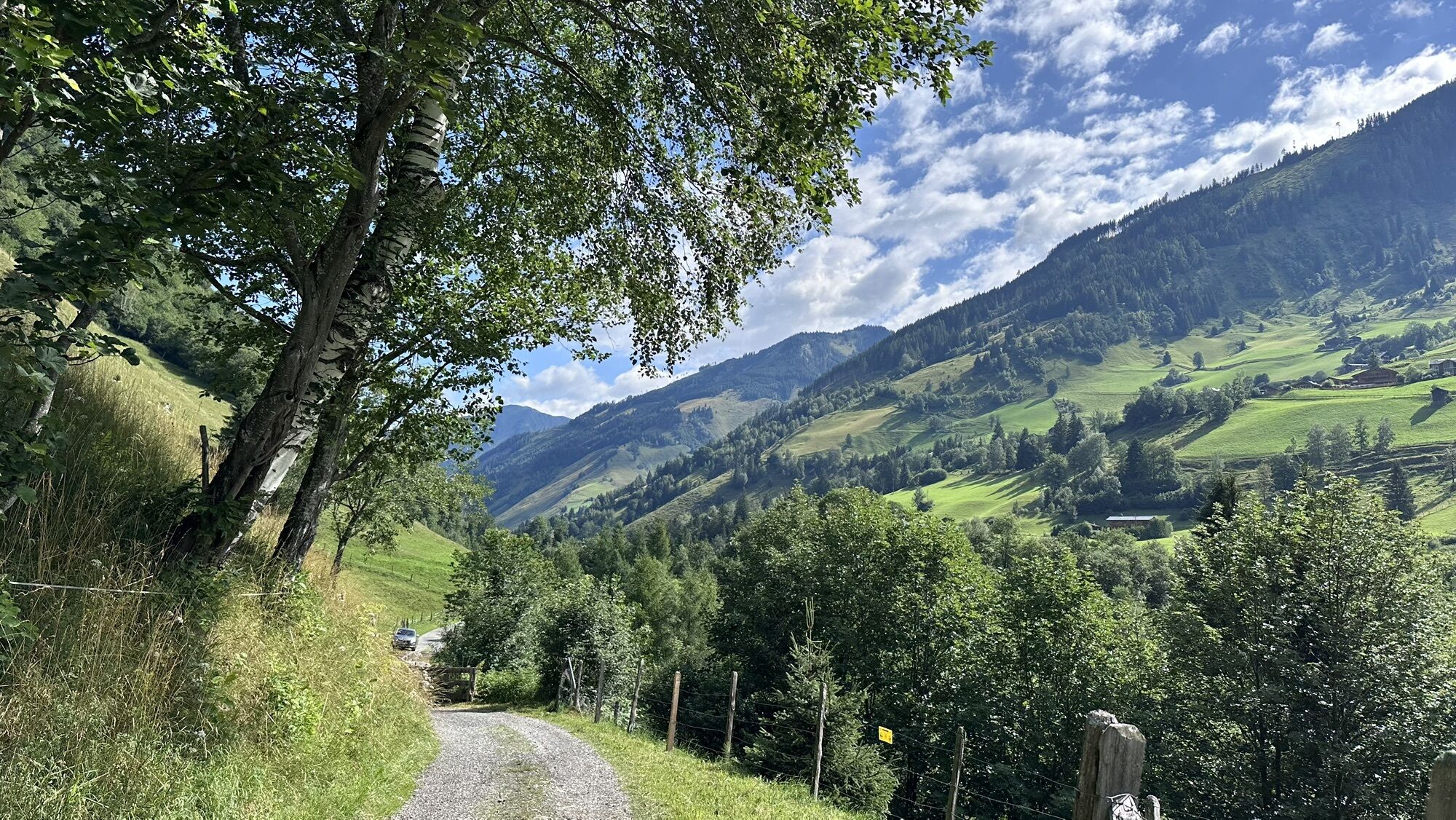
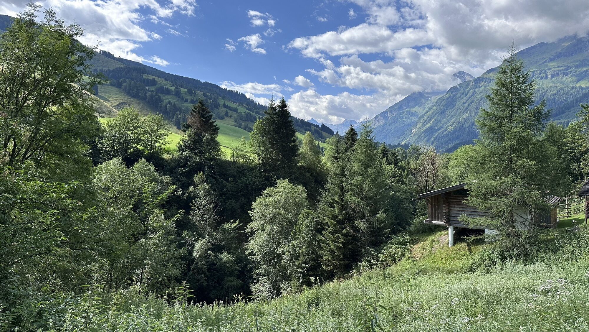
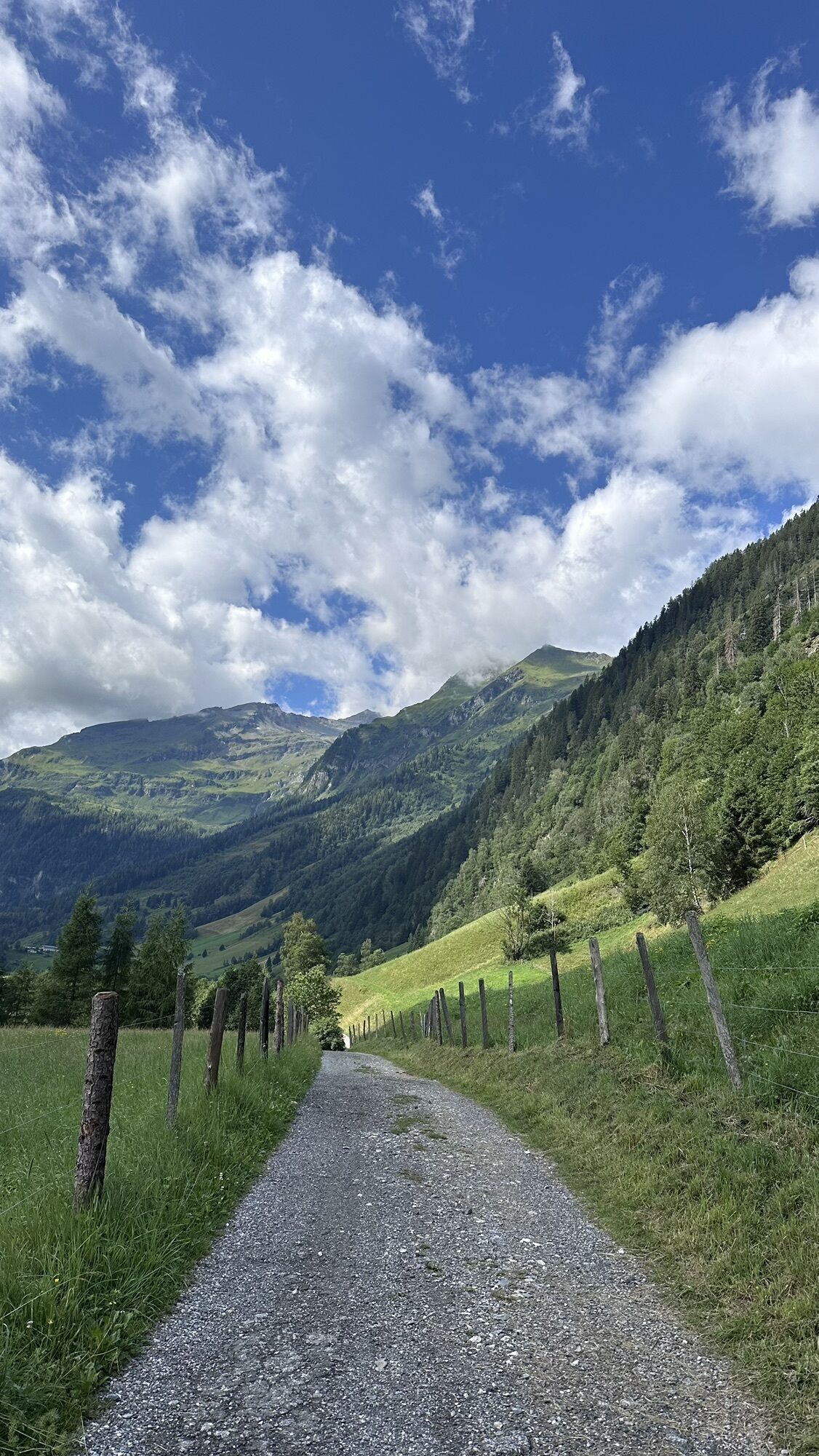
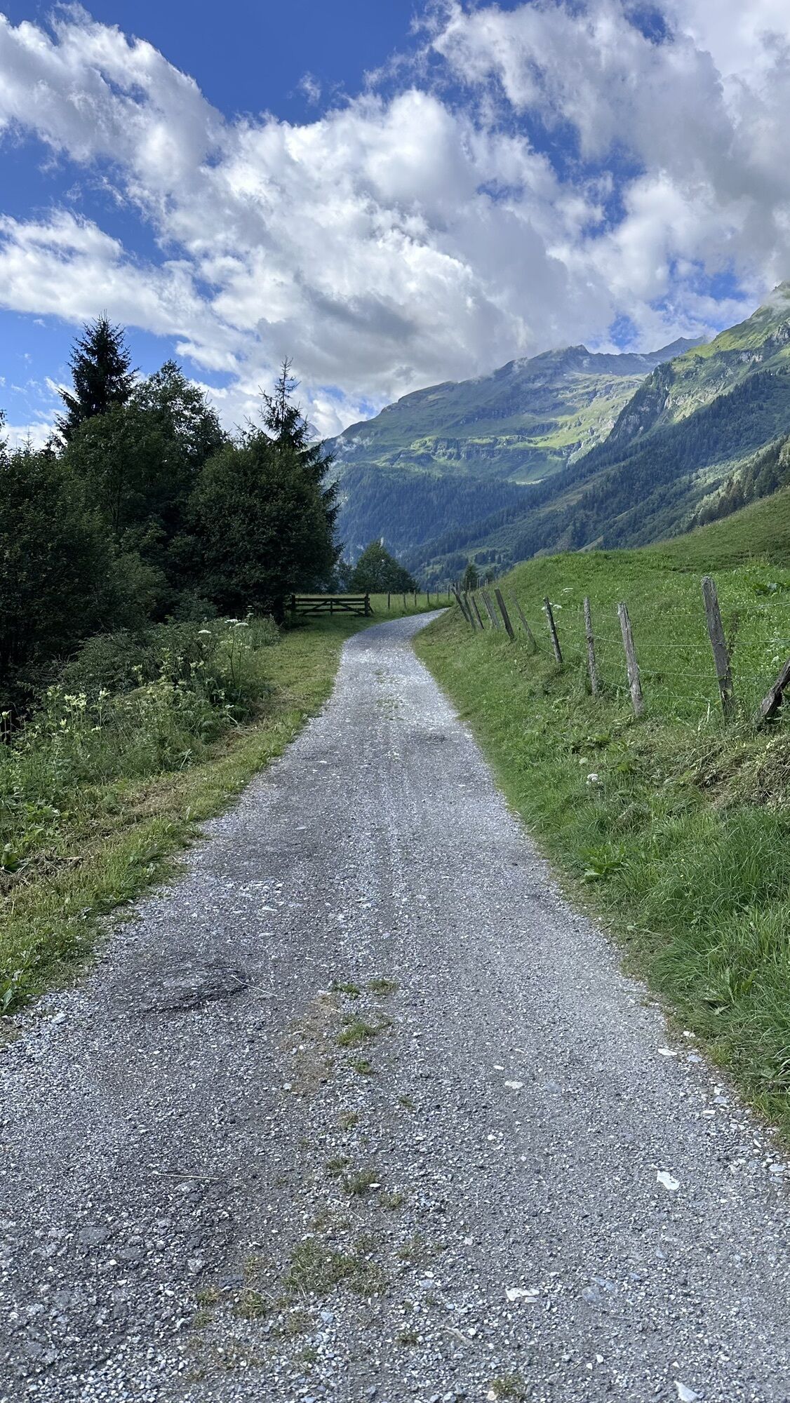
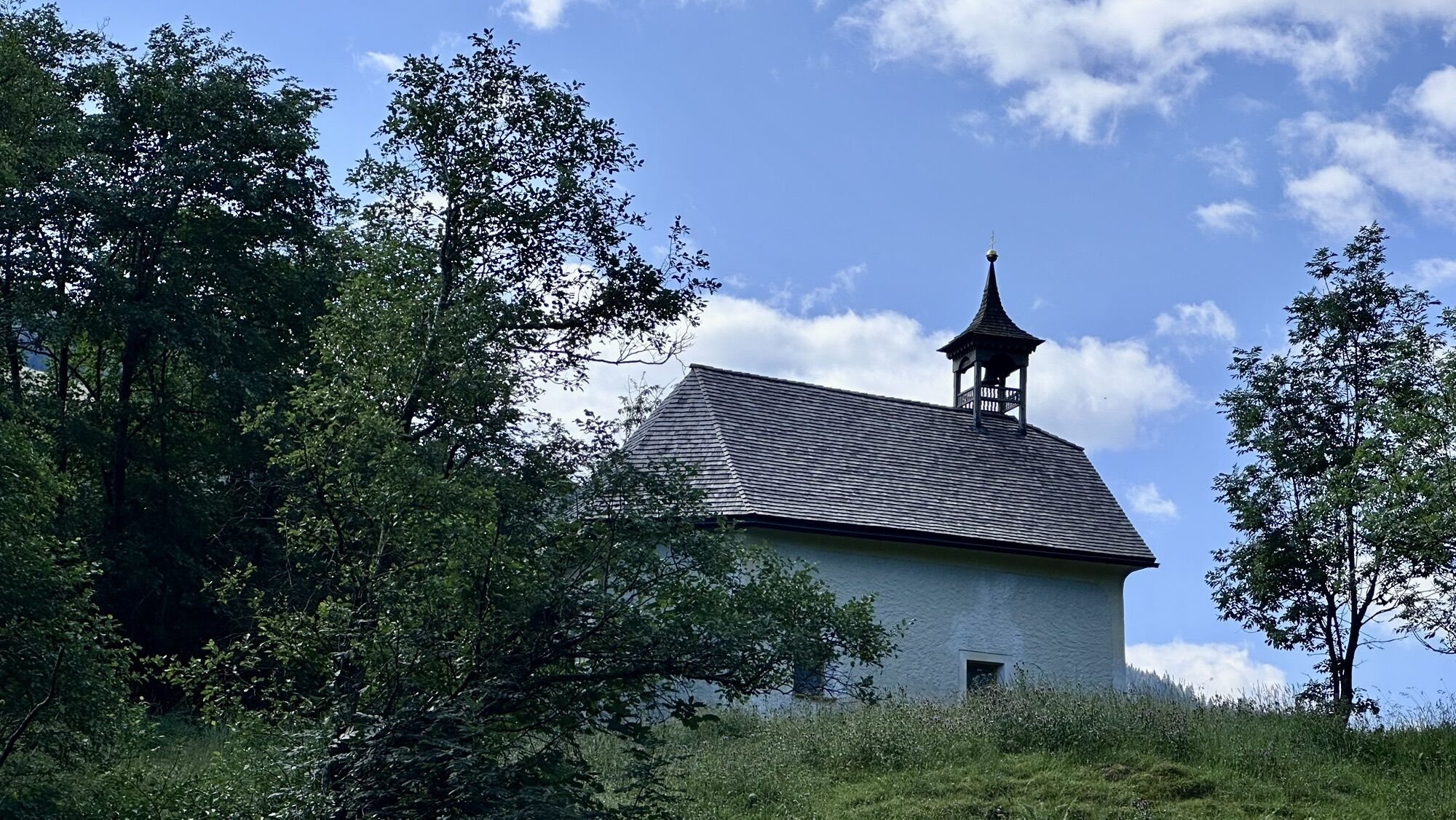
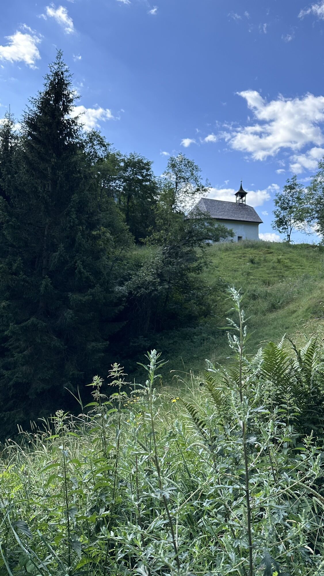
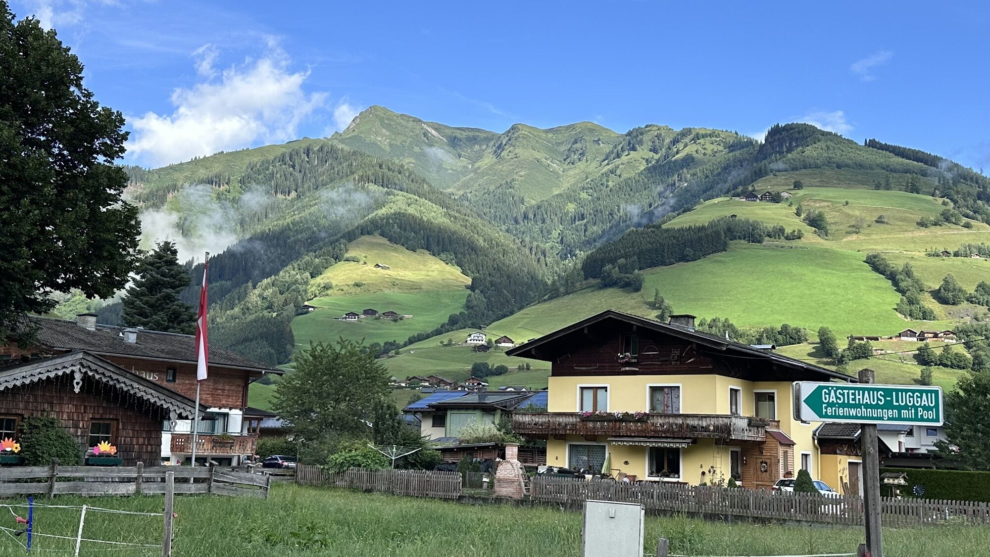
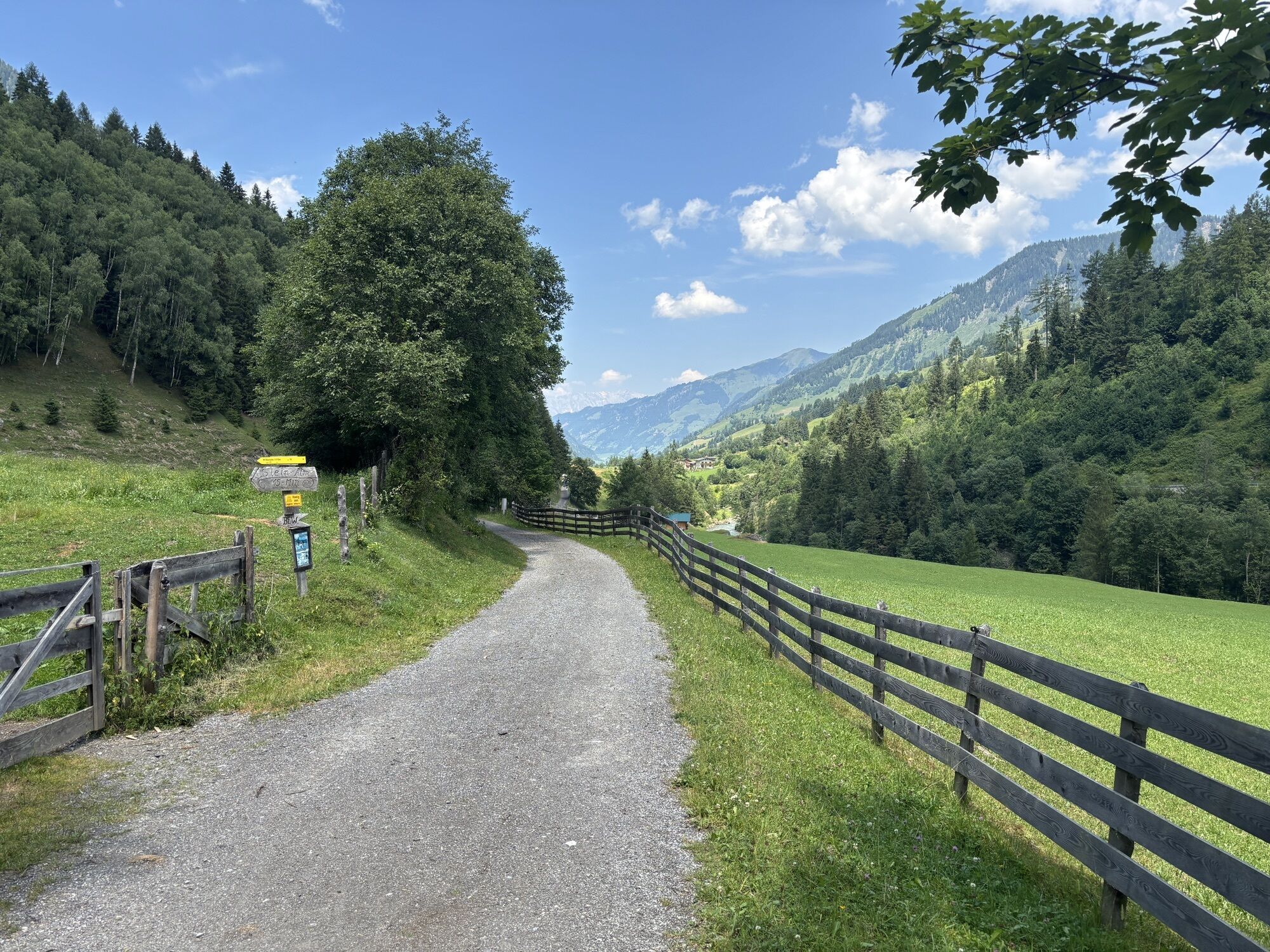
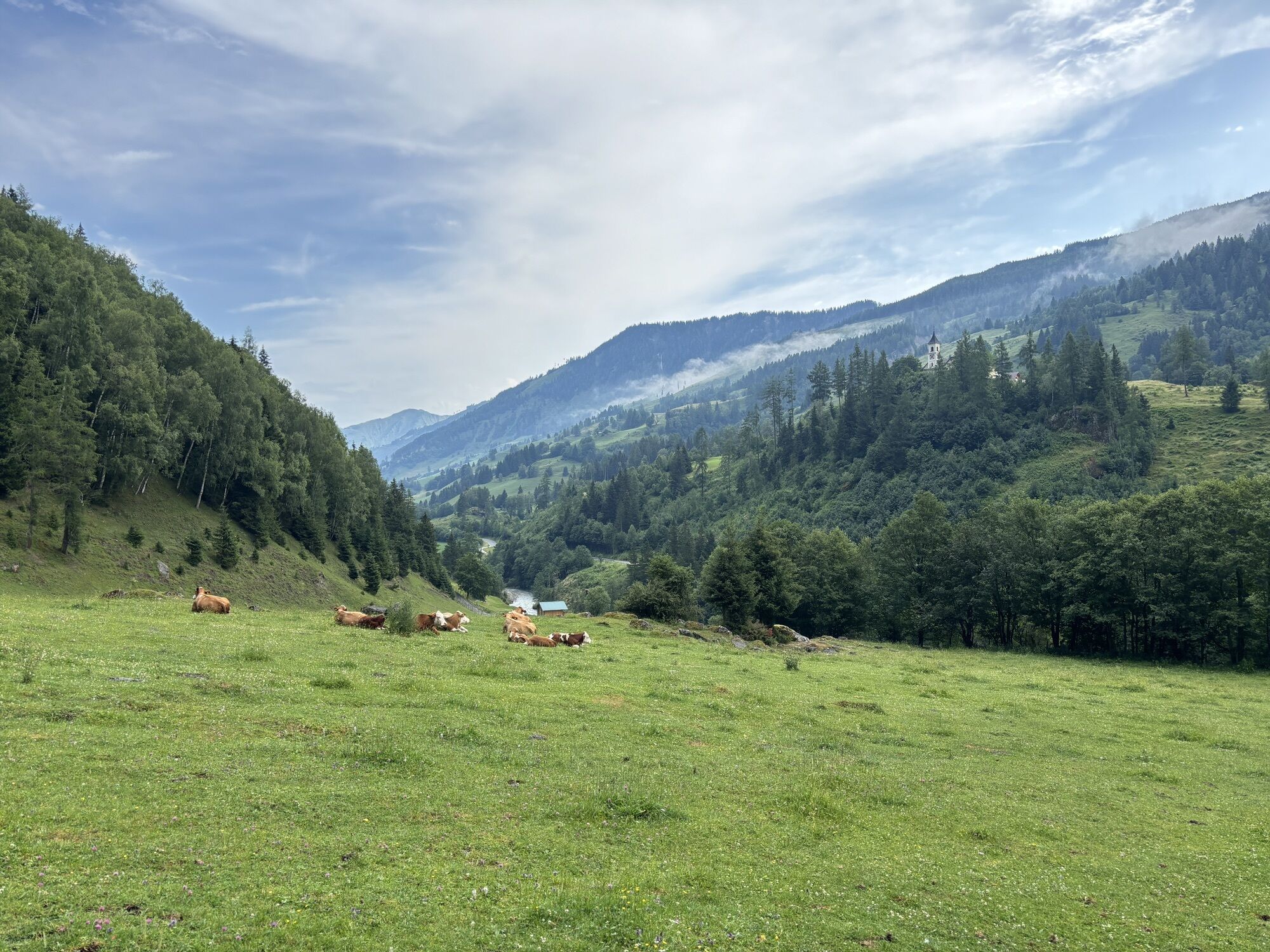
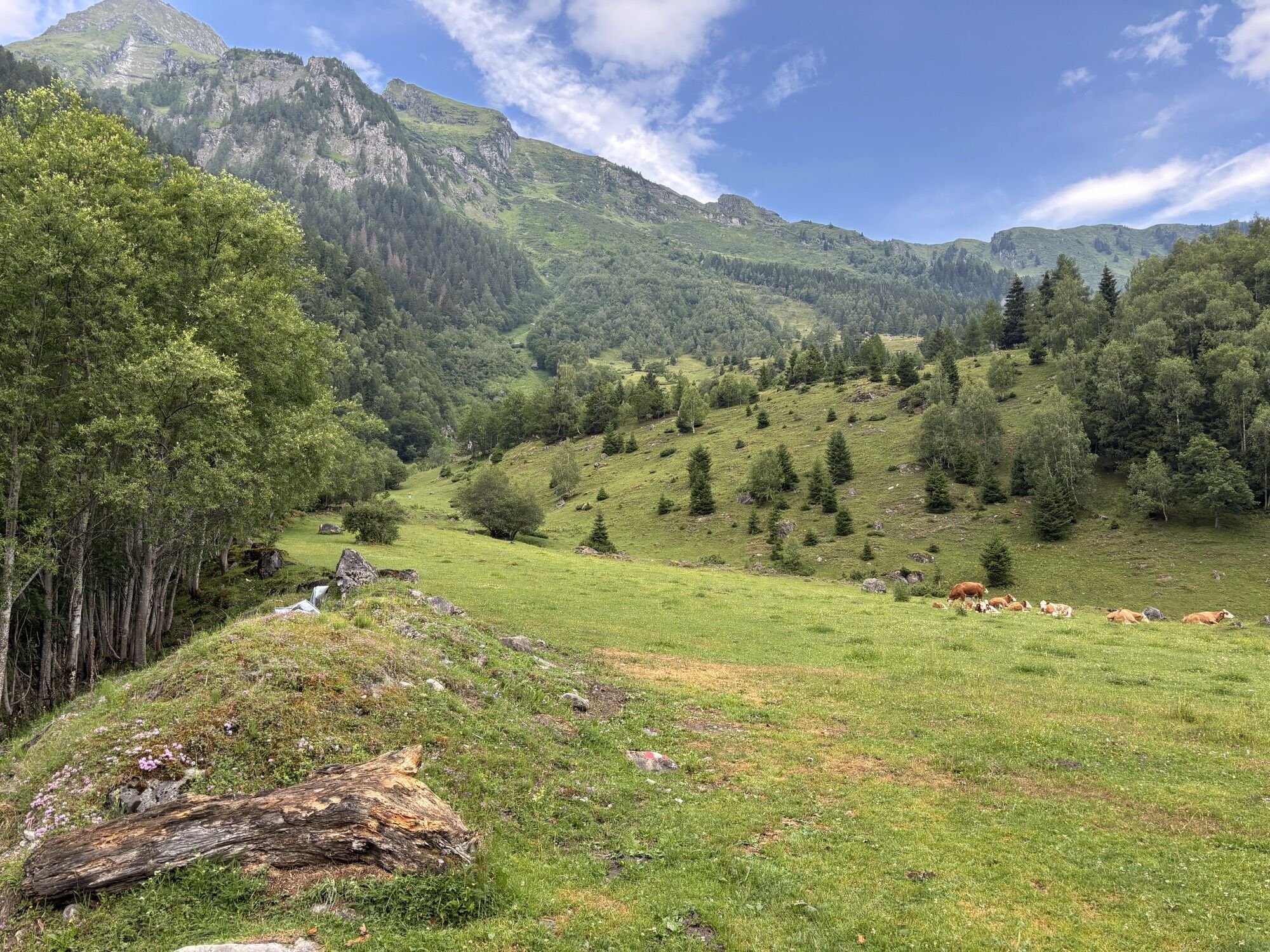
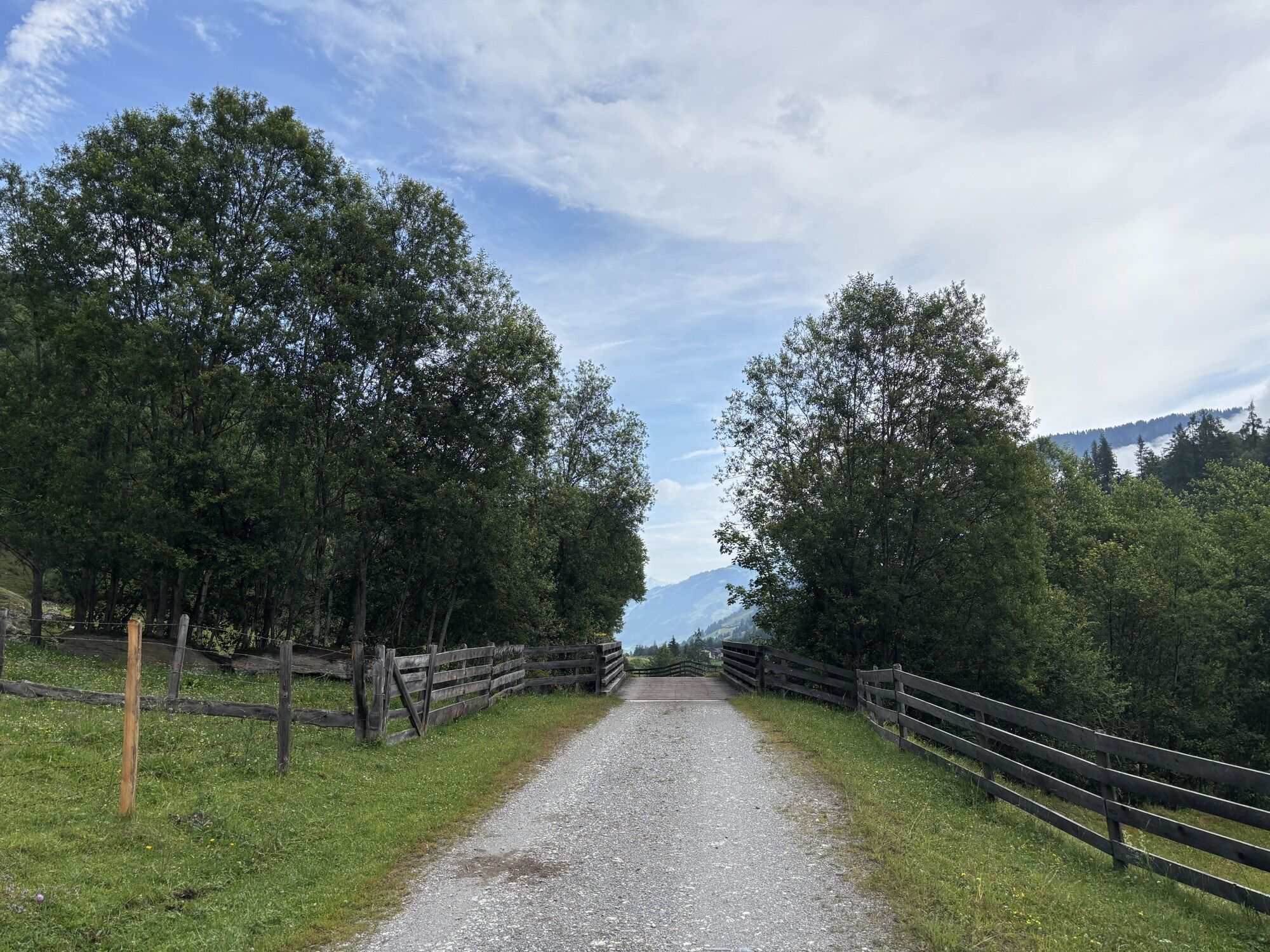
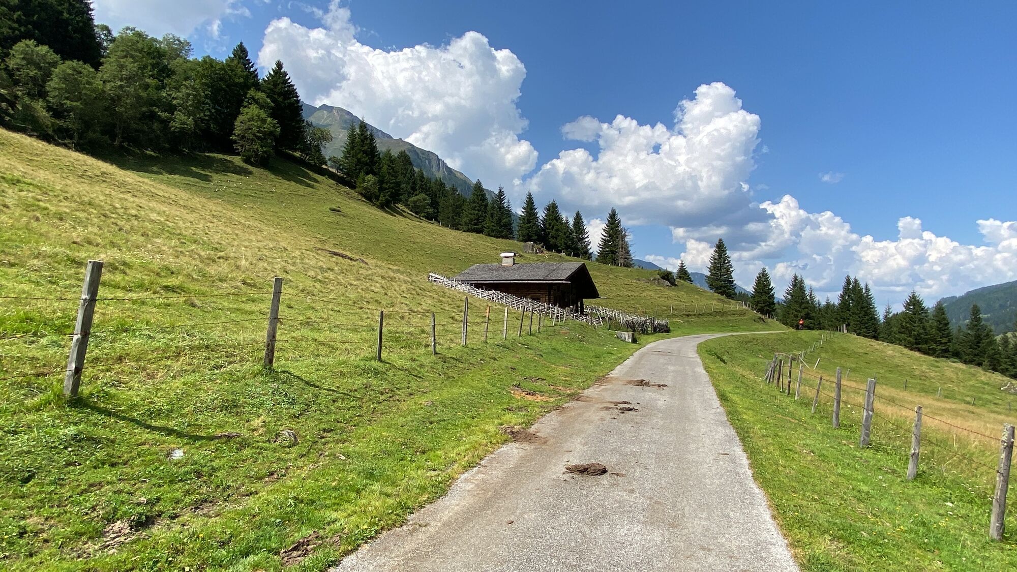
The first part of this hike runs on the sidewalk along the main road towards Bucheben. At Gästehaus Luggau there is a turnoff to the right onto Pfandlerweg and then left onto the initially paved "Alte Buchebenstraße". Following this road, you come to the isolated chapel. After the chapel, the gravel road continues past the entrance to the hiking trails to Steinalm, Steinbockalm, and Feldereralm (trail no. 20). A short distance across the road to the soccer field. Over the gravel path you continue straight ahead to Almgasthaus Lechnerhäusl and the entrance to the Krumltal (Valley of the Vultures, trail no. 21) and further on you reach Alpengasthof Bodenhaus.

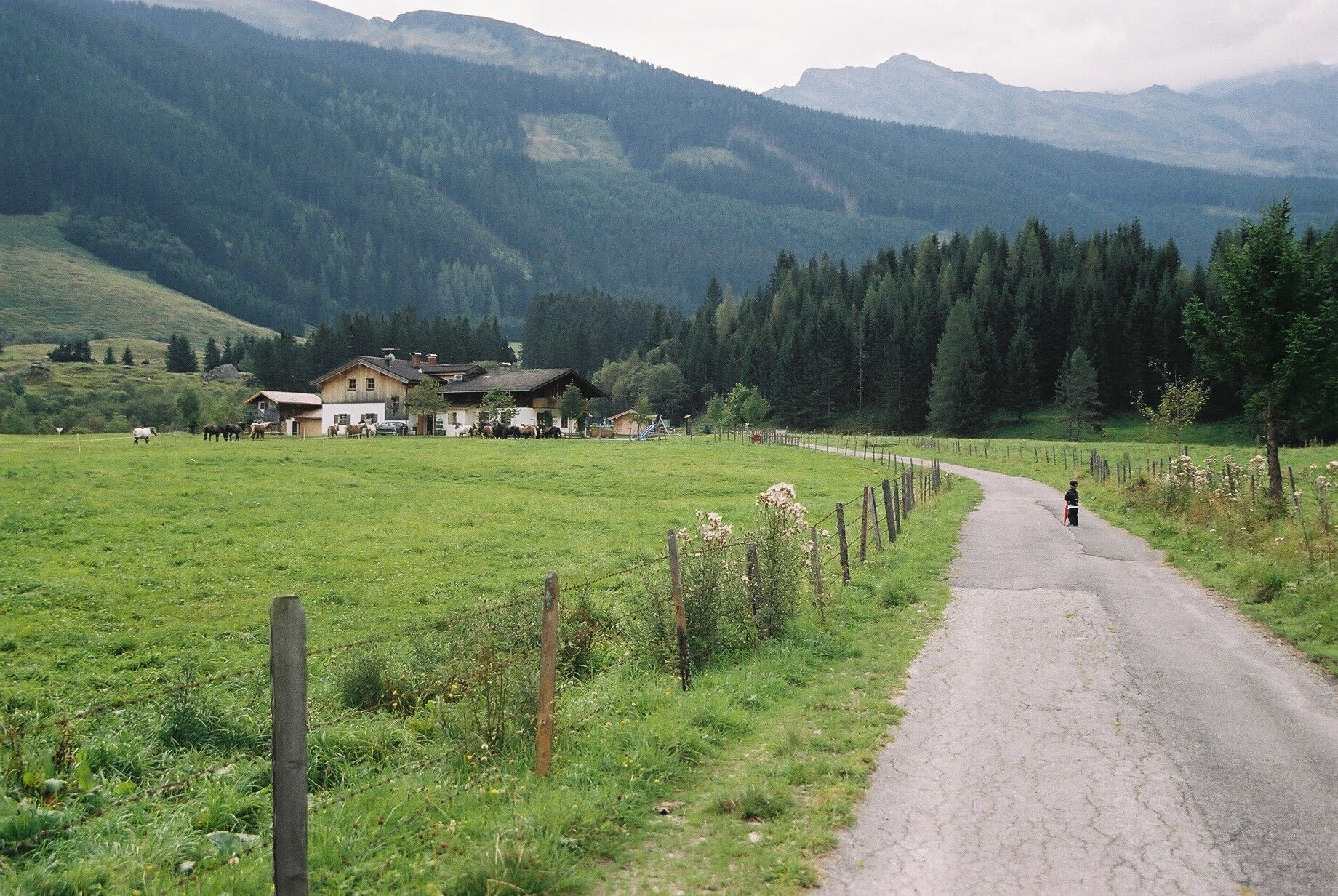
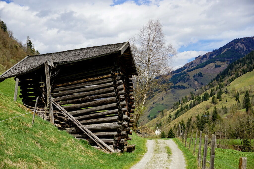

Wörth - Pfandlerweg - Alte Buchebenstraße - Bucheben - Almgasthaus Lechnerhäusl - Alpengasthof Bodenhaus.
Tak
Tak
Tak
Sturdy footwear, poles, hiking equipment.
Pasture animals are near the path from Bucheben to Bodenhaus.
Via B311 to Rauris and then further to the next district Wörth.
Postbus line 640 to Wörth, valley bus to Wörth (June to September).
Parking available in Wörth towards Seidlwinkltal (free of charge).
Return route as the outward journey. Return trip possible by Postbus line 640 (June to September). Gold panning opportunity directly behind the toll station at the original gold panning site Bodenhaus (June to September). Food and drink available at Almgasthaus Lechnerhäusl and Alpengasthof Bodenhaus.
Uzyskaj wgląd
Zawsze na żywo z ponad 9 500 kamer internetowych. bergfex Jako użytkownik Pro, możesz teraz zobaczyć odpowiednie kamery internetowe dla wielu wycieczek w aplikacji wycieczki od. Pozwala to na bezpośredni podgląd aktualnych warunków.
Popularne wycieczki w okolicy
-
4,7
Geotrail Tauernfenster
światłoWędrówka 5,90 km -
4,8
Highlight Kitzlochklamm Classic round
średniWędrówka 2,02 km -
4,5
Gasteiner Höhenweg von Bad Gastein nach Bad Hofgastein
światłoWędrówka 8,58 km -
5,0
Silberpfennig, Salzburger Land/Österreich
średniWędrówka 13,8 km -
4,9
Türchlwand von der Bergstation Schlossalmbahn Bad Hofgastein, Österreich
średniWycieczki górskie 7,05 km -
4,8
Hohe Sonnblick Up
ciężkiWędrówka 9,14 km -
4,7
Bad Gastein Stubnerkogel-Zittrauer Tisch Rundwanderung
średniWędrówka 18,6 km -
4,6
Bad Hofgastein Bergbahn Parkplatz - Rastötzenalm Bad Hofgastein
średniMountainbike 16,9 km -
4,5
Spielmann
średniWędrówka 9,48 km -
4,6
Bahnhof Bad Hofgastein nach Bahnhof Bad Gastein
średniWędrówka 13,0 km
Wędrówki i tropienie


Nie przegap ofert i inspiracji na następne wakacje
Twój adres e-mail została dodana do listy mailingowej.





