






High-level path to the Gnadenalm
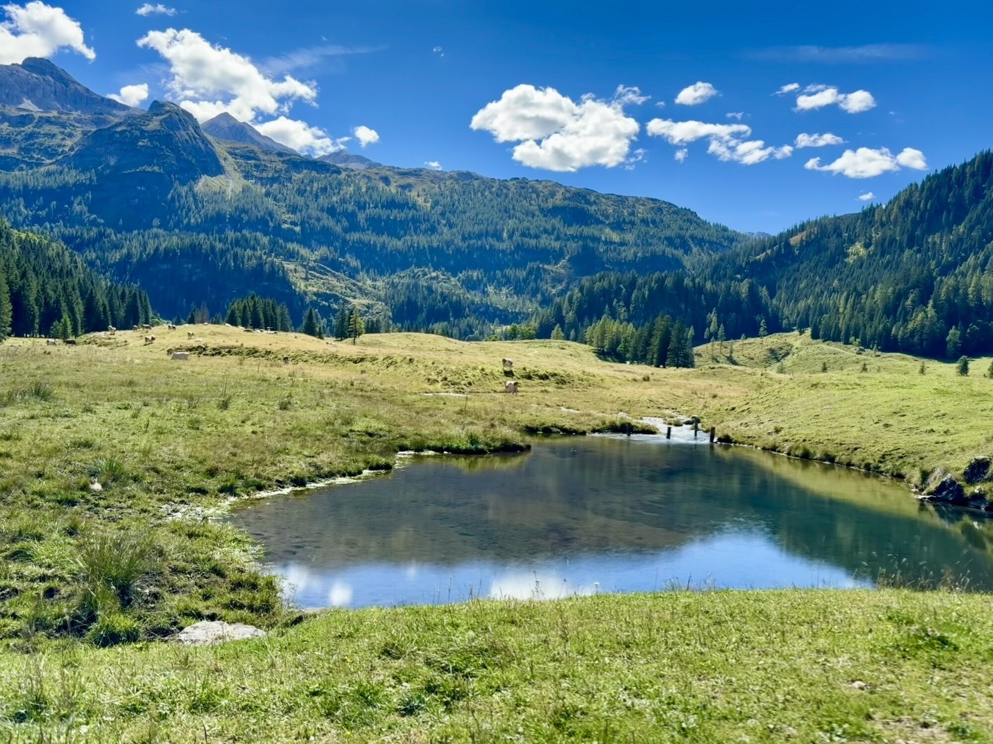
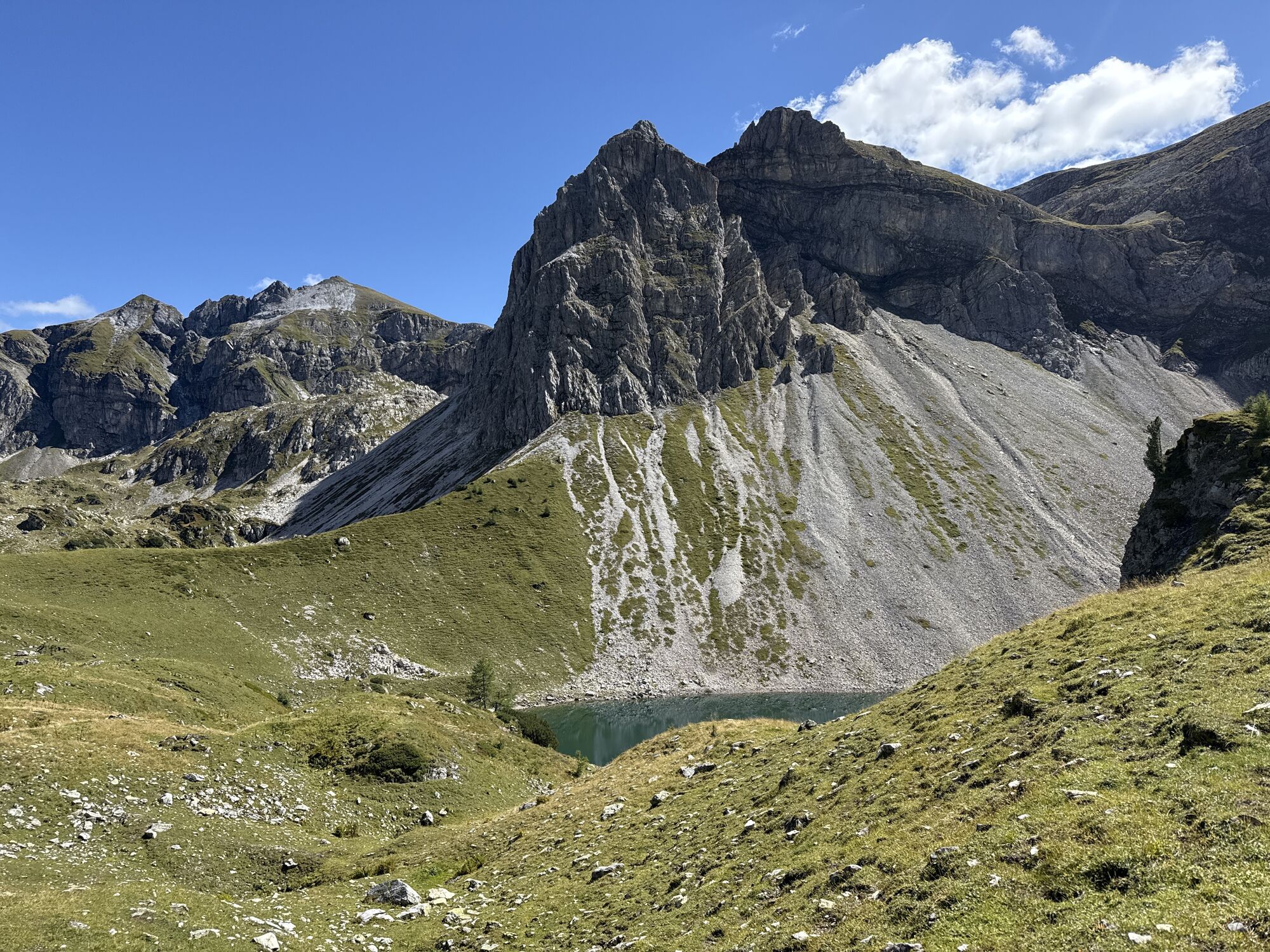
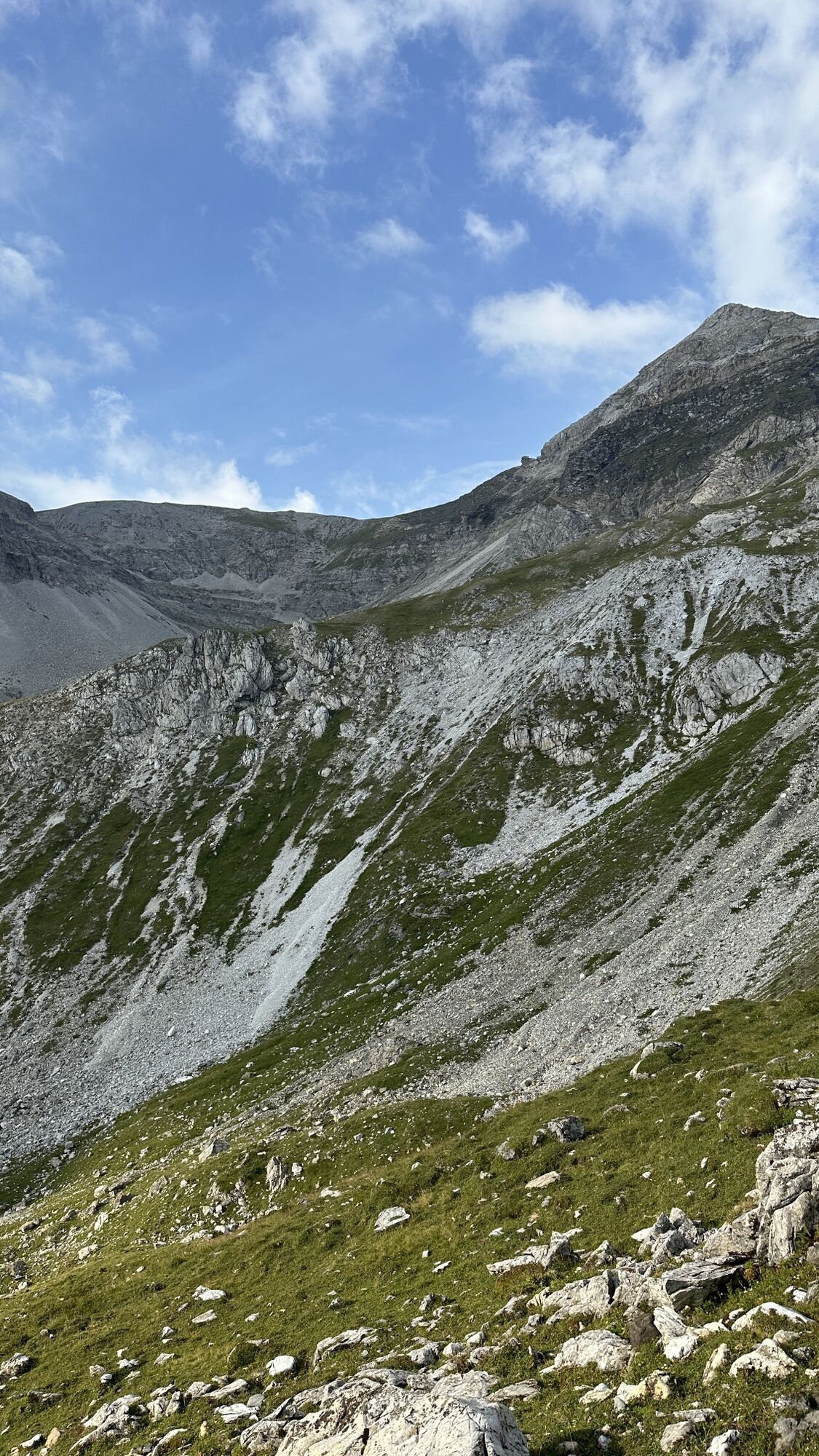
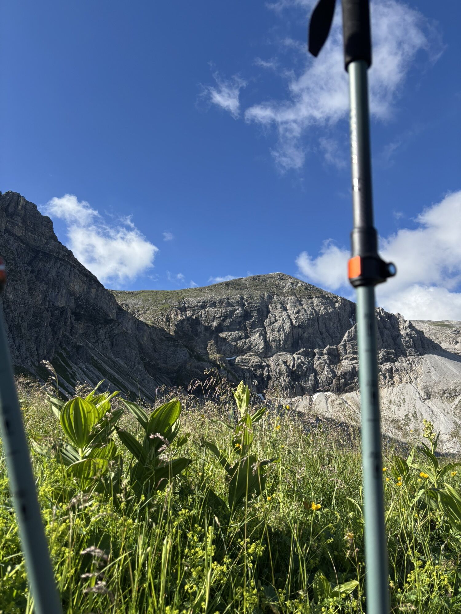
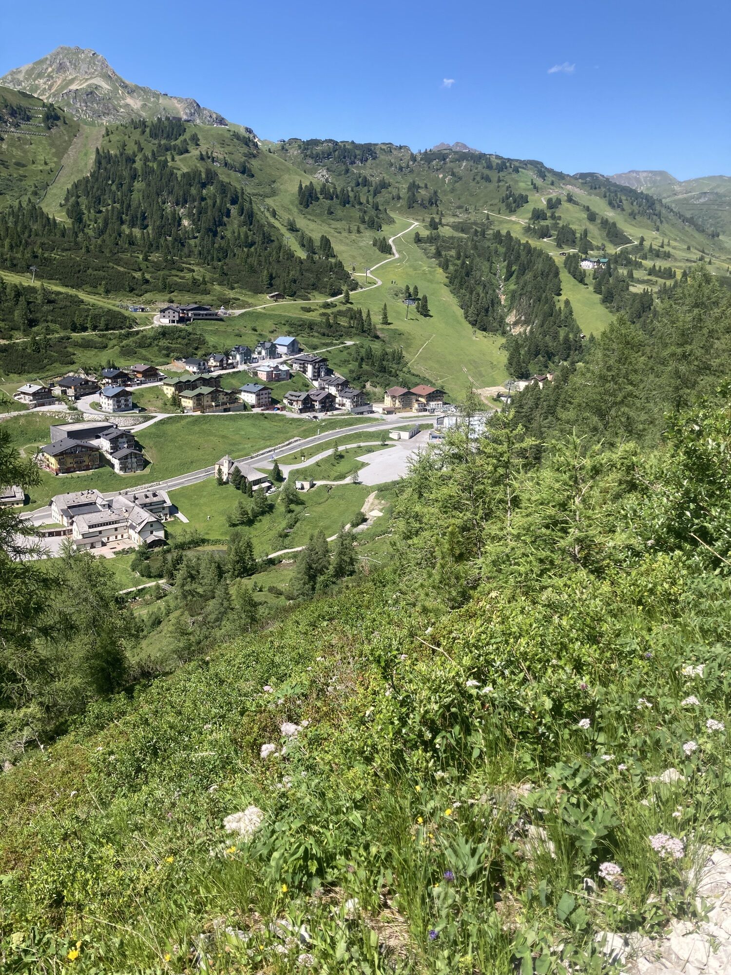
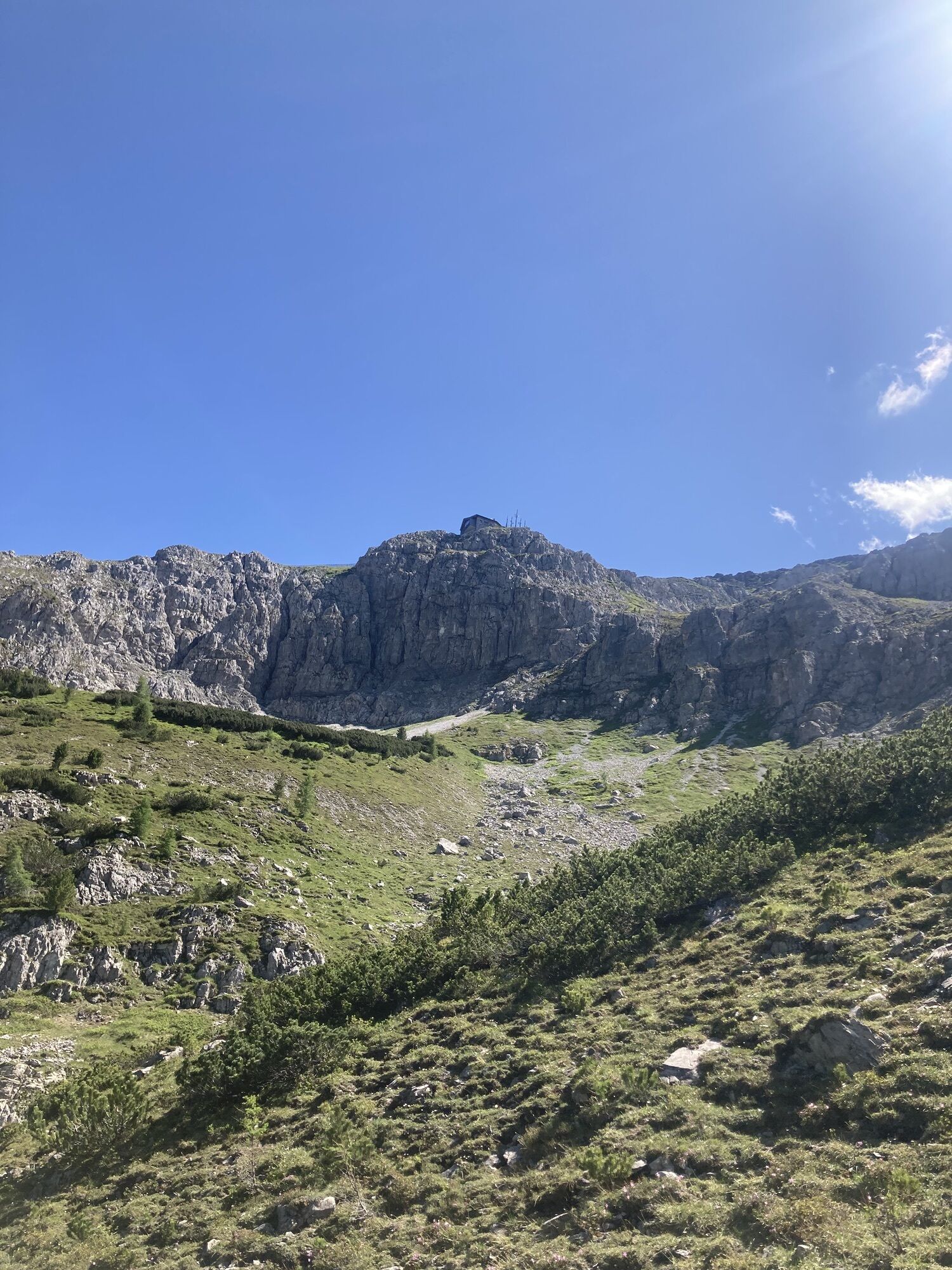
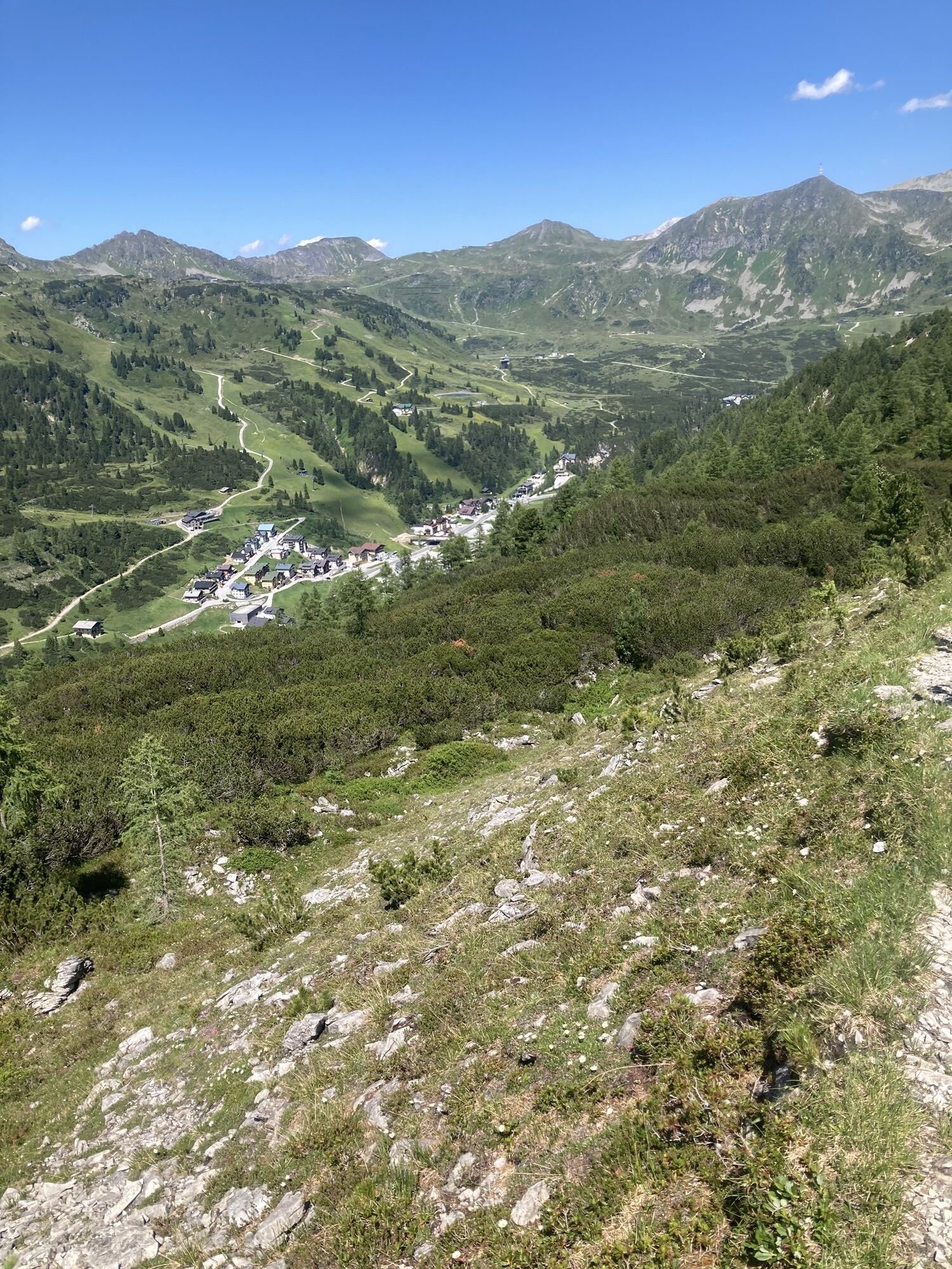
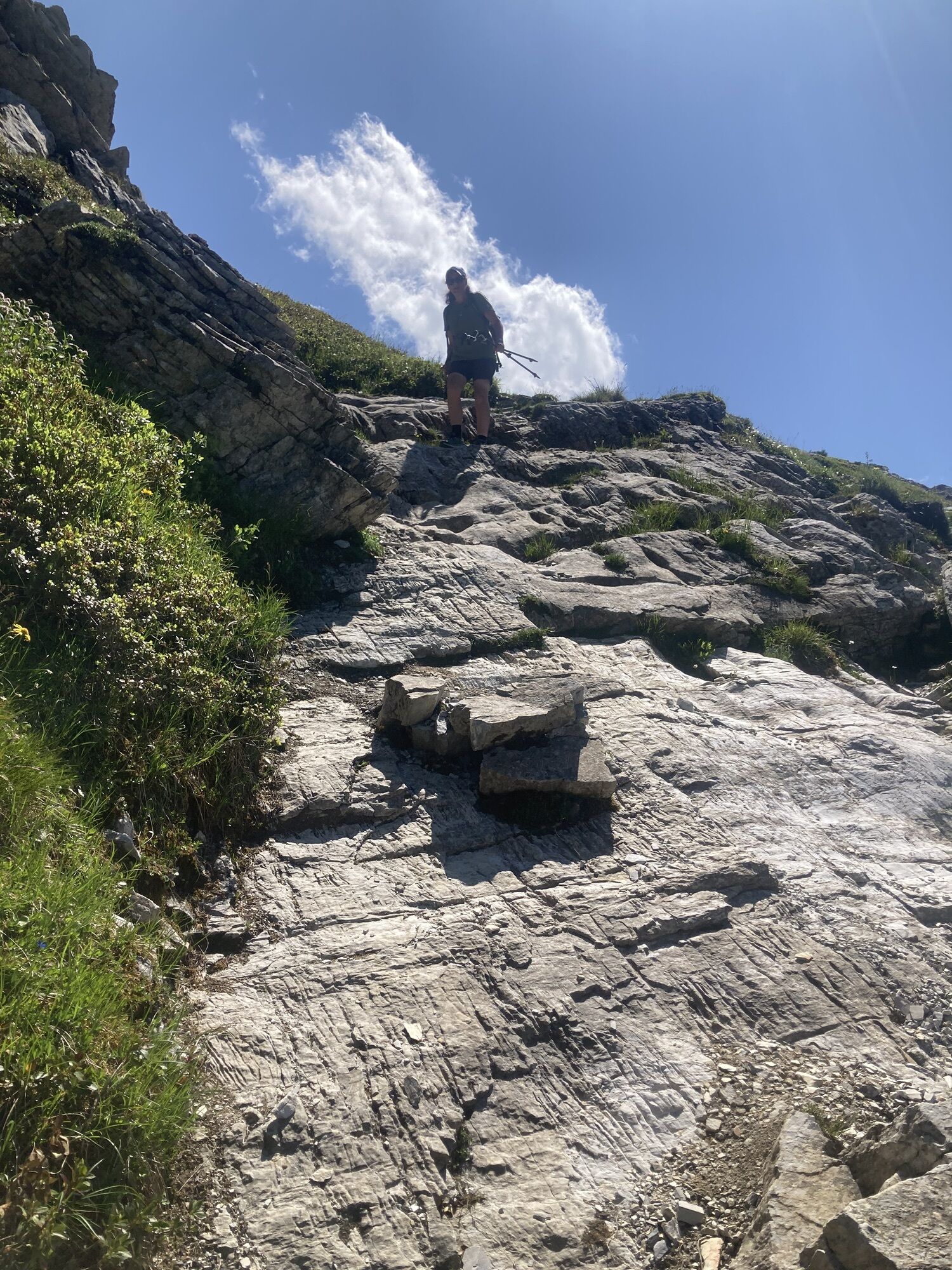
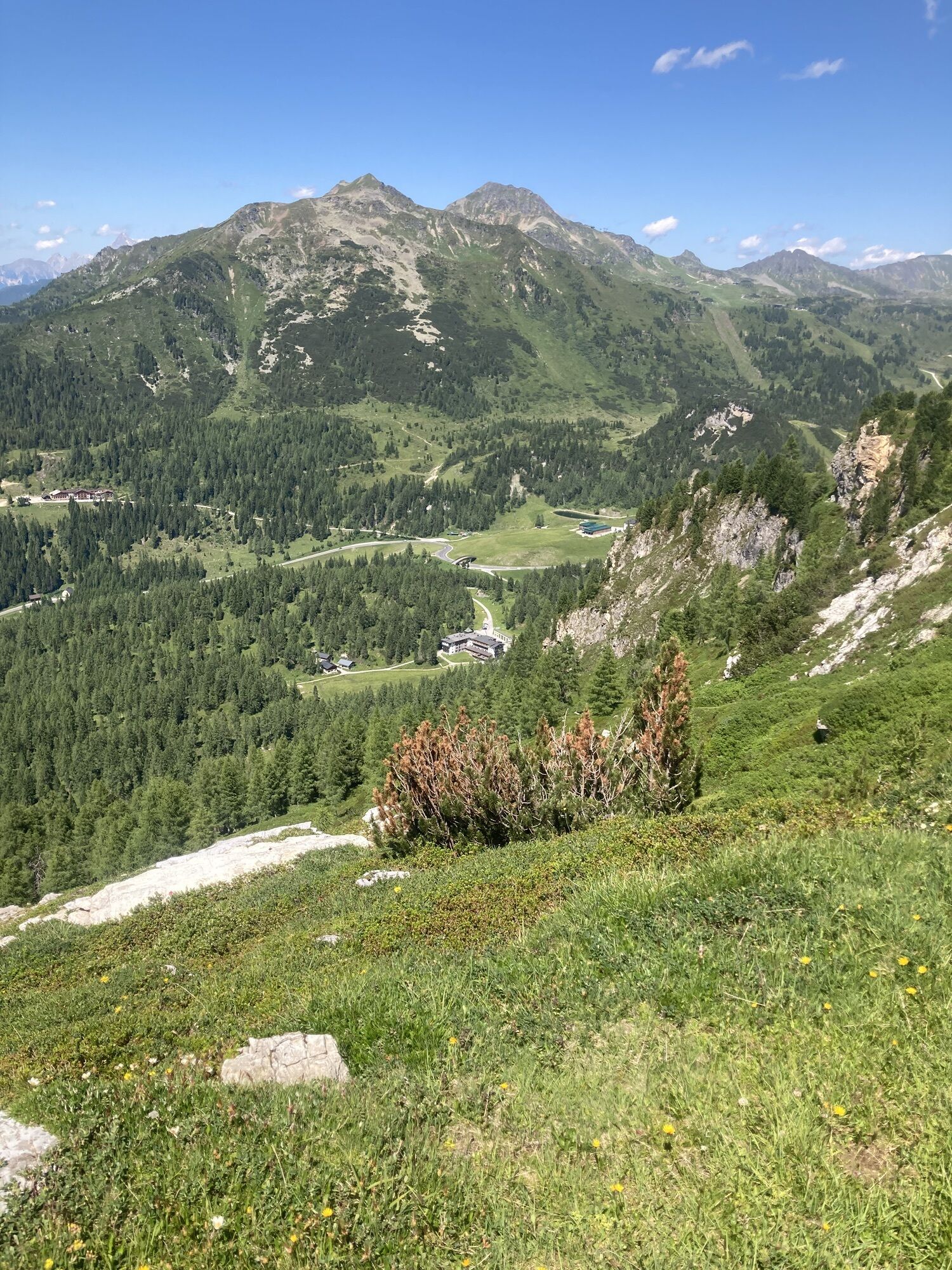

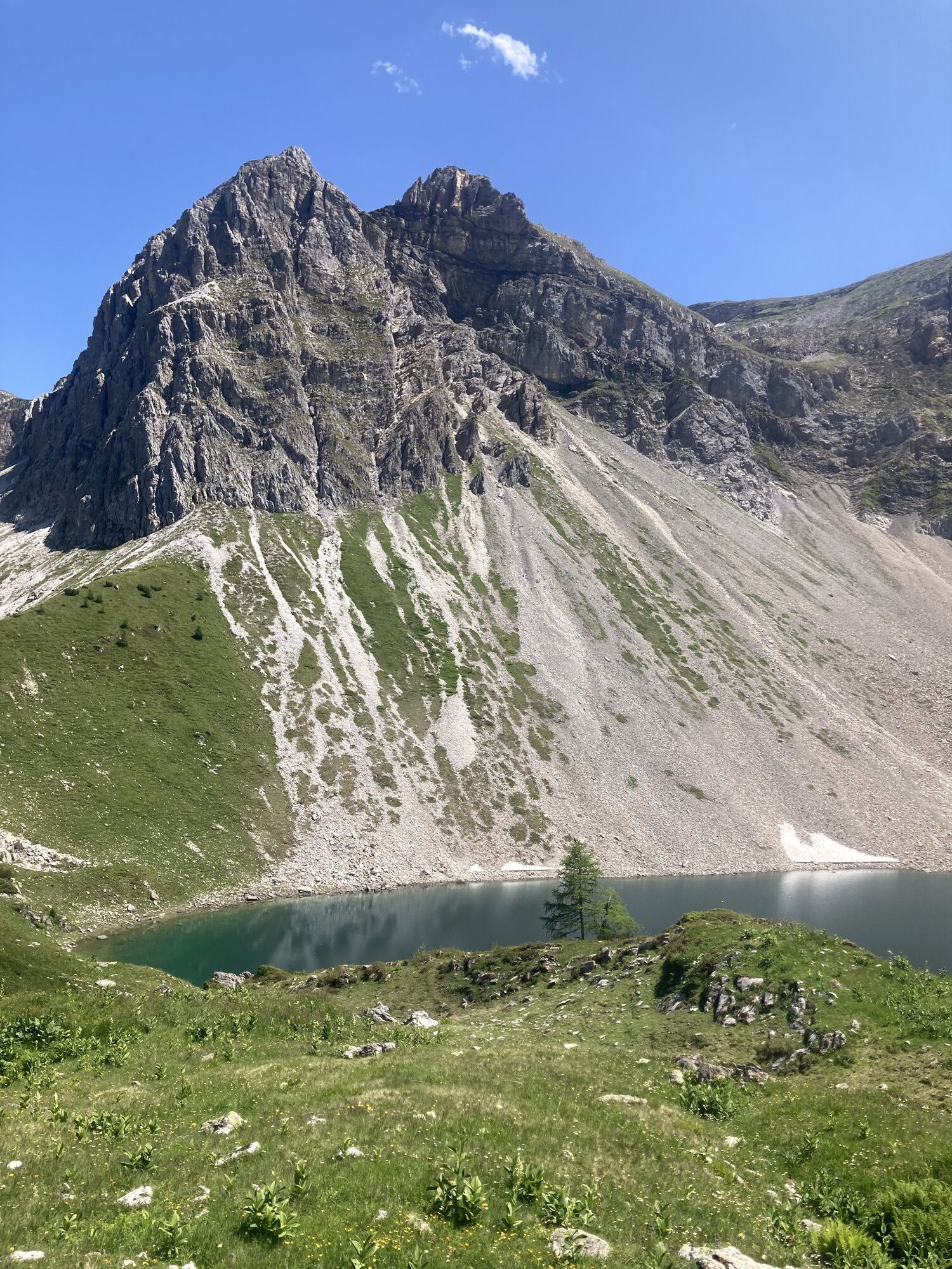
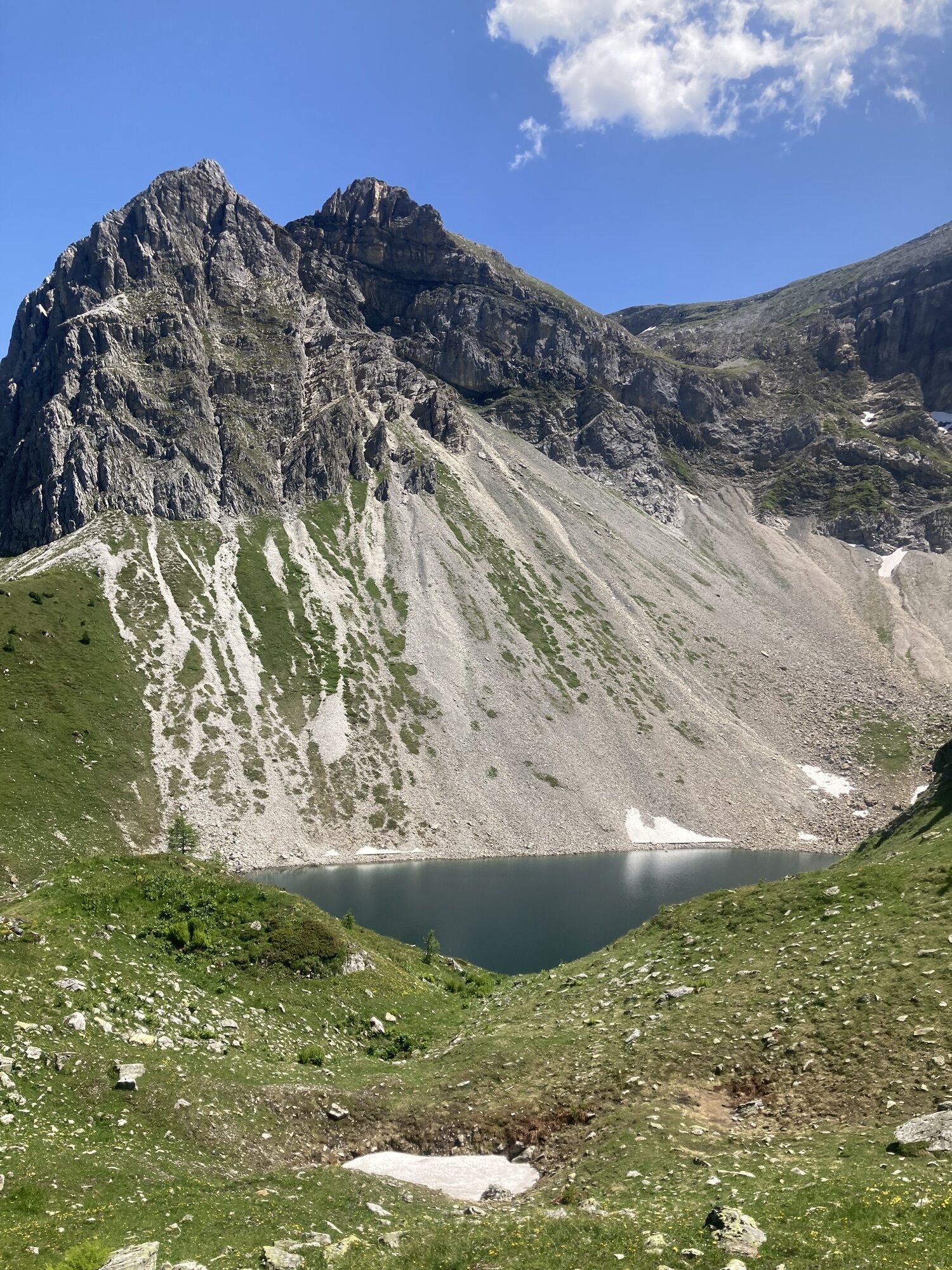
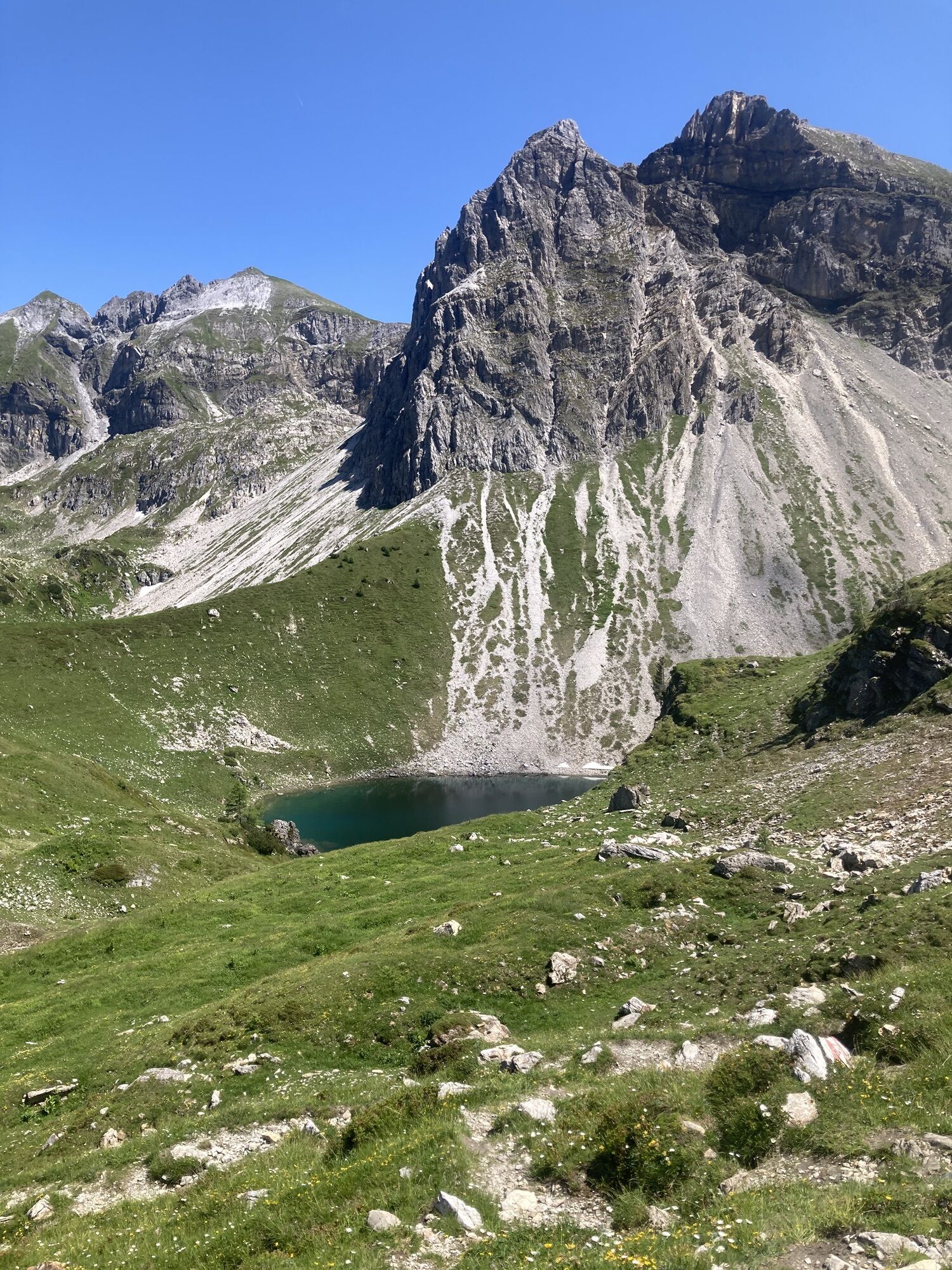
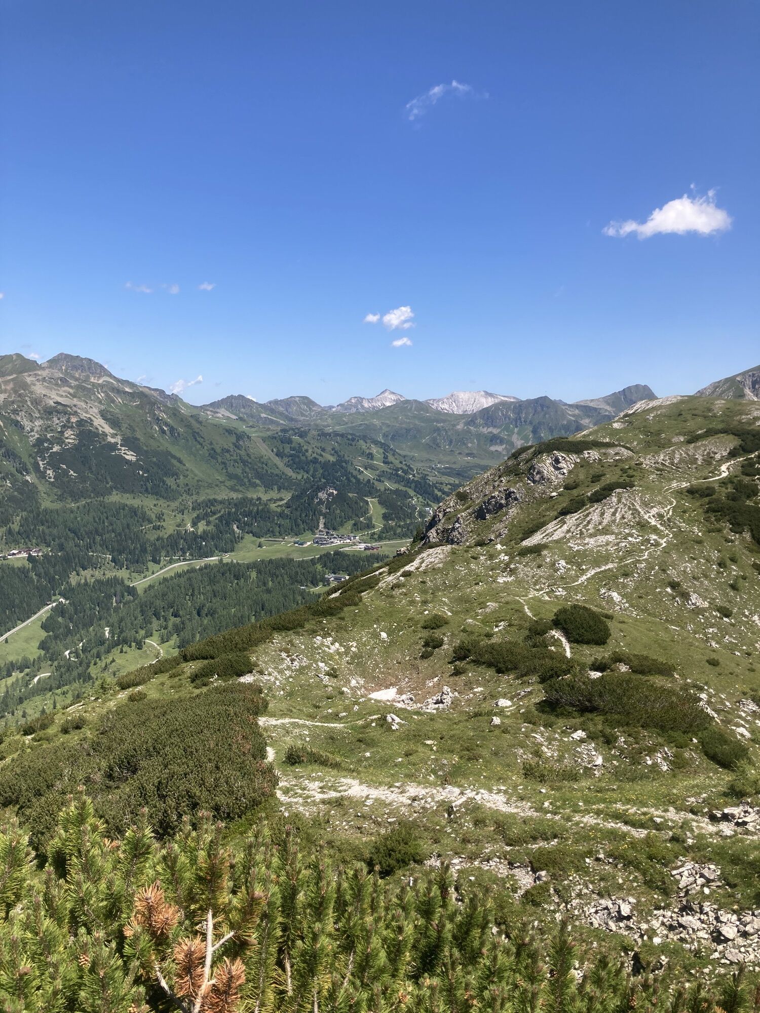
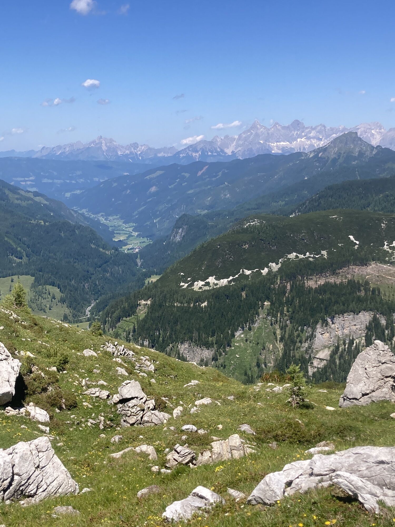
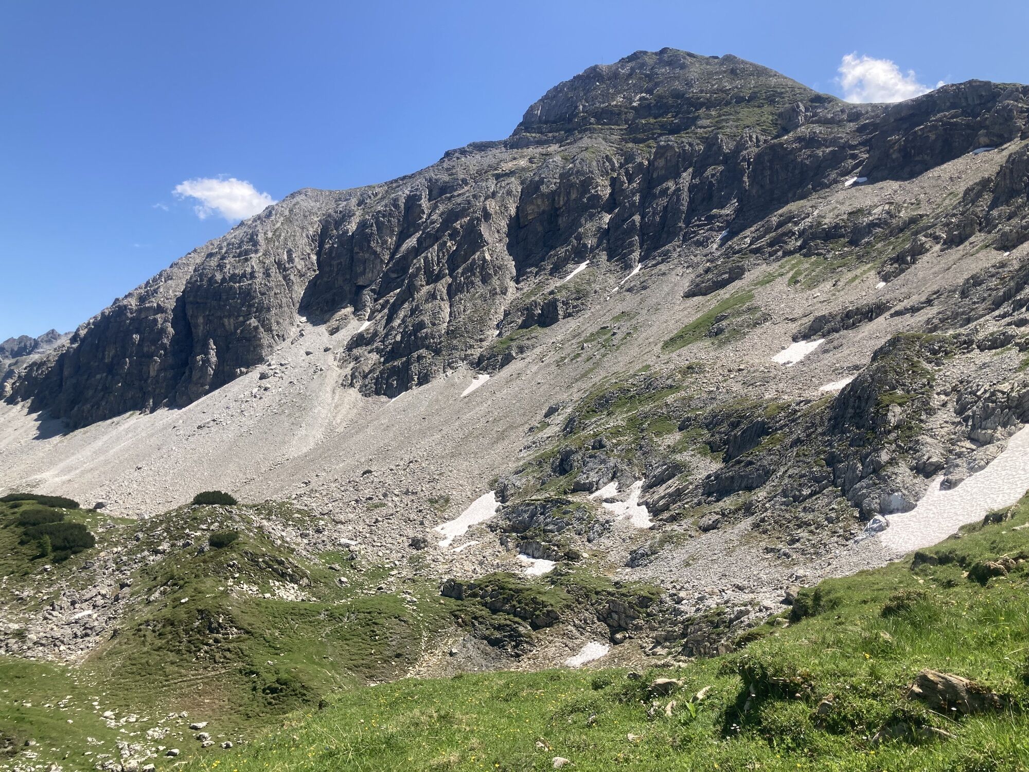
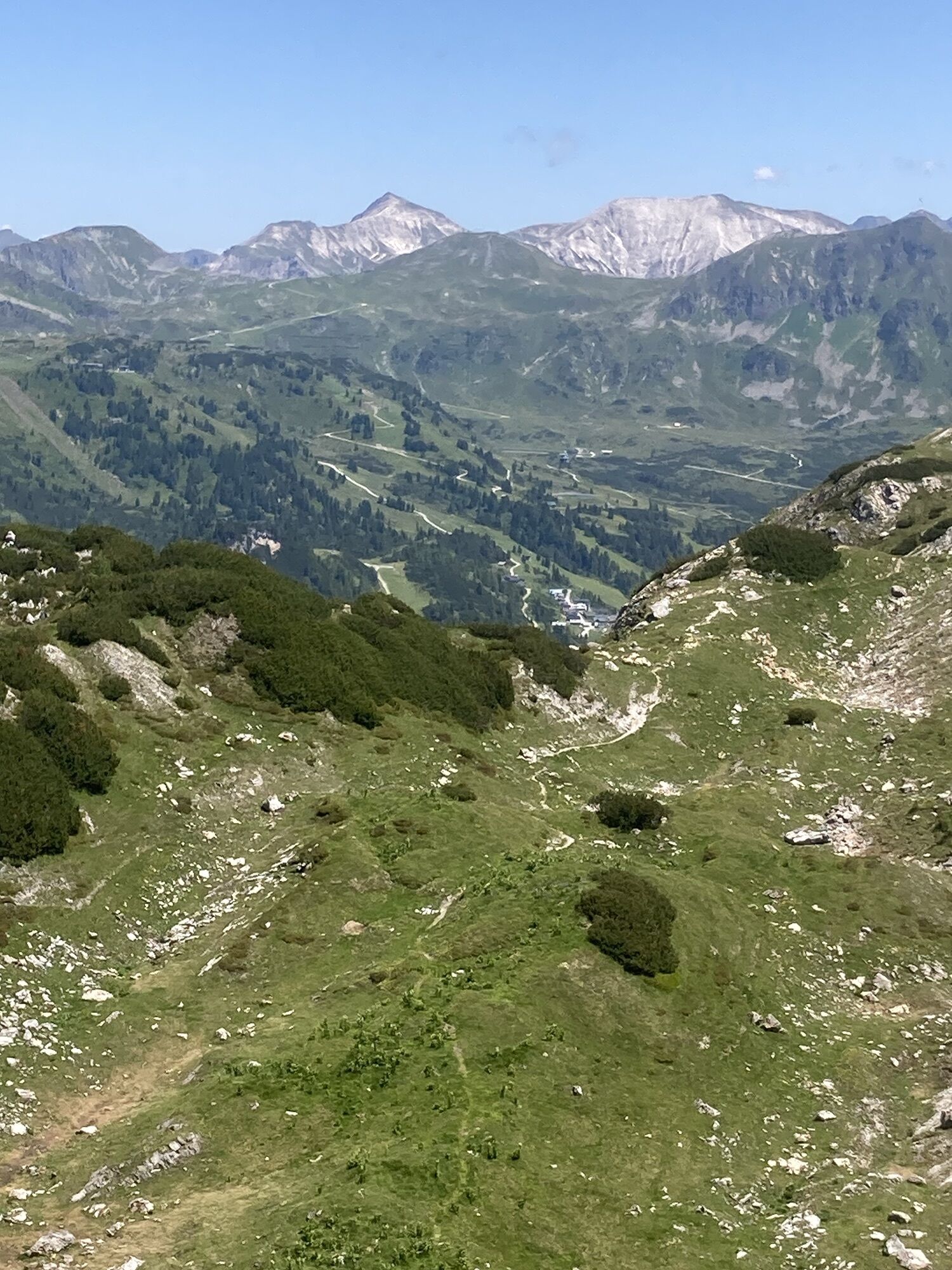
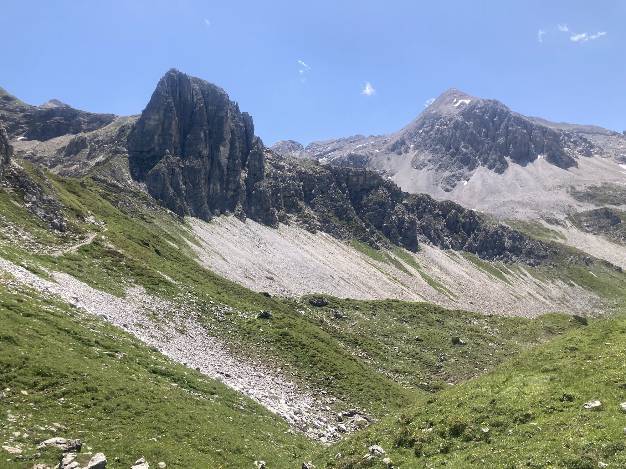
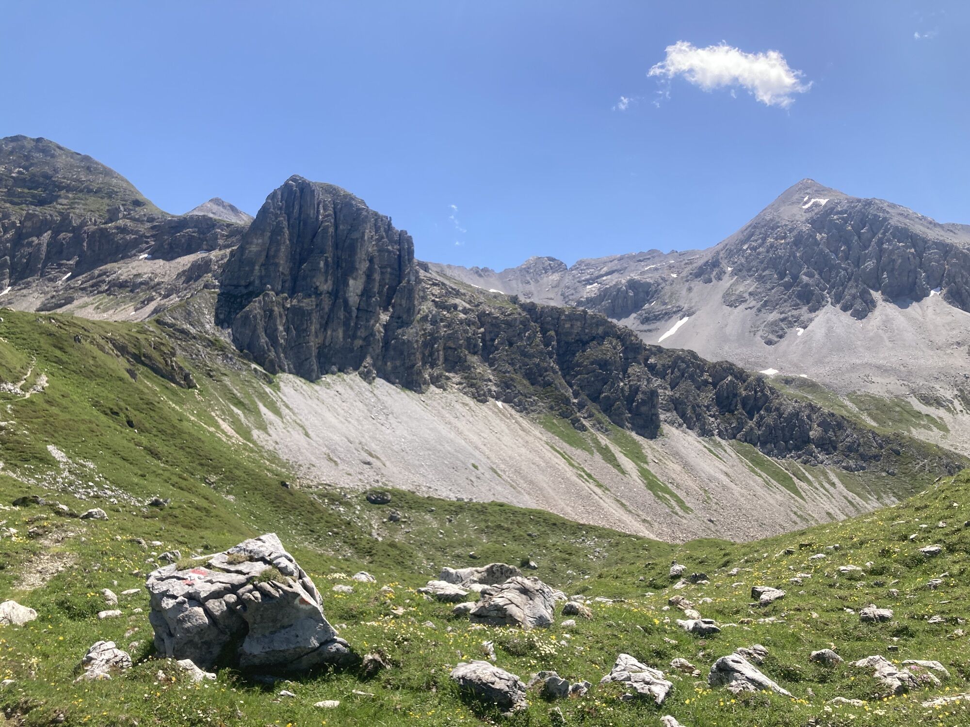
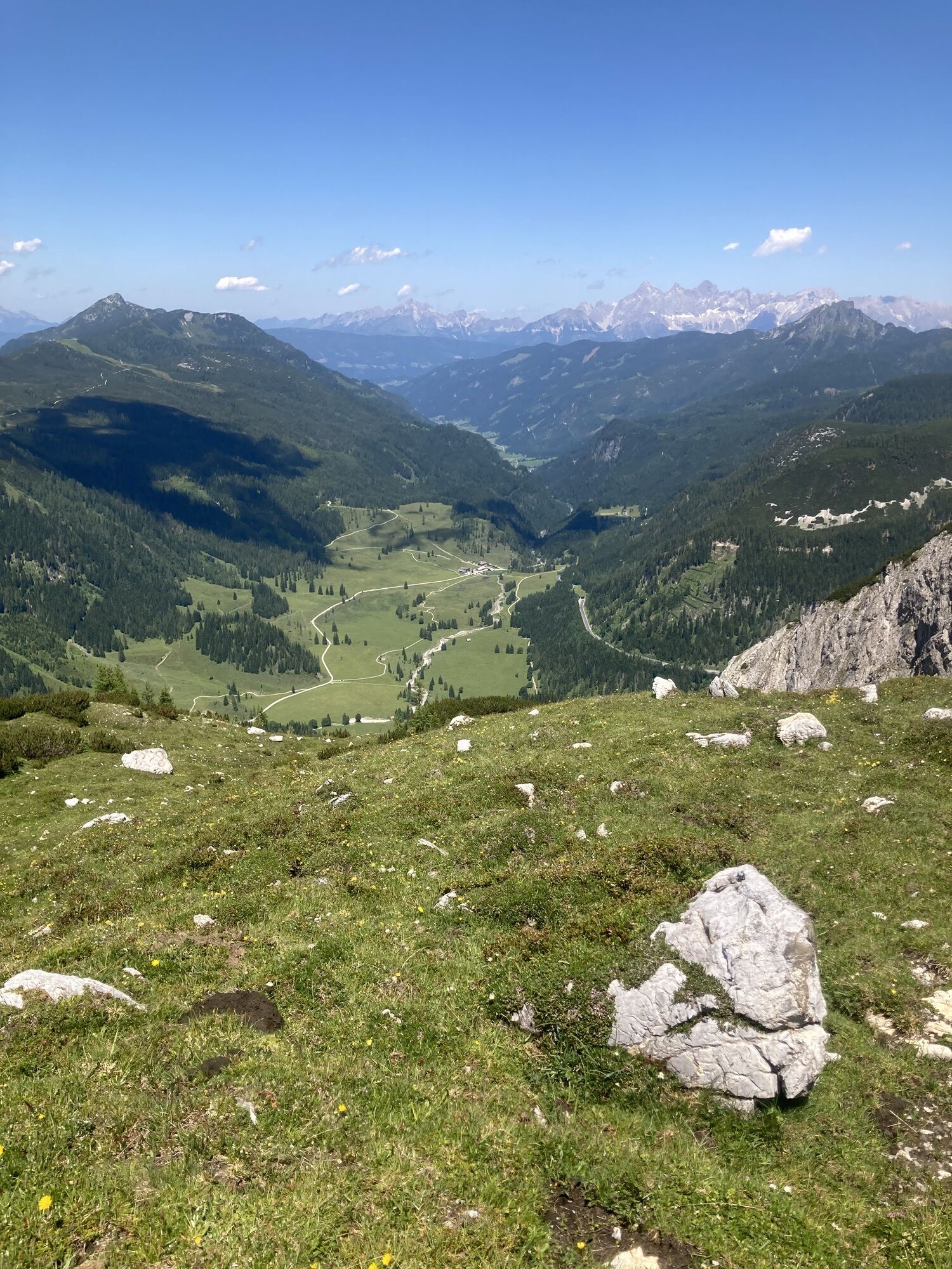
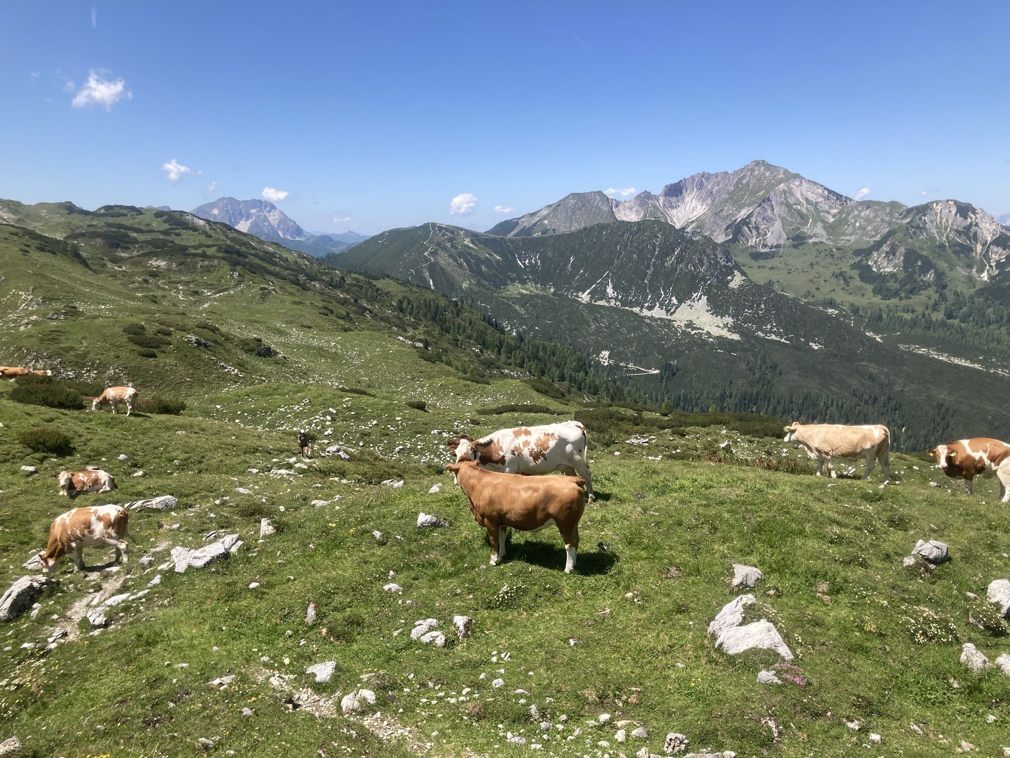
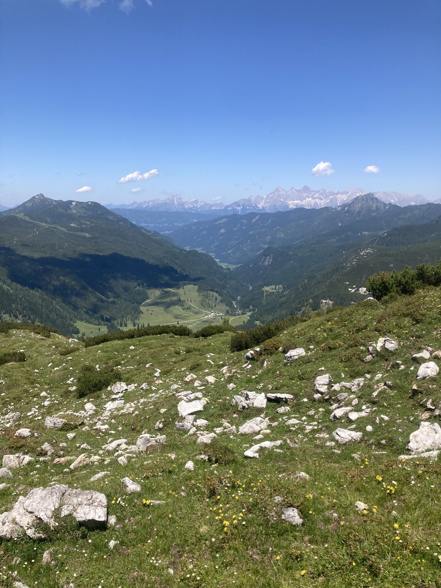
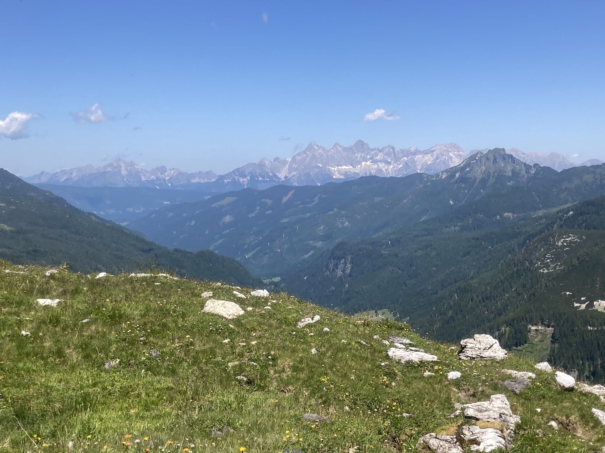
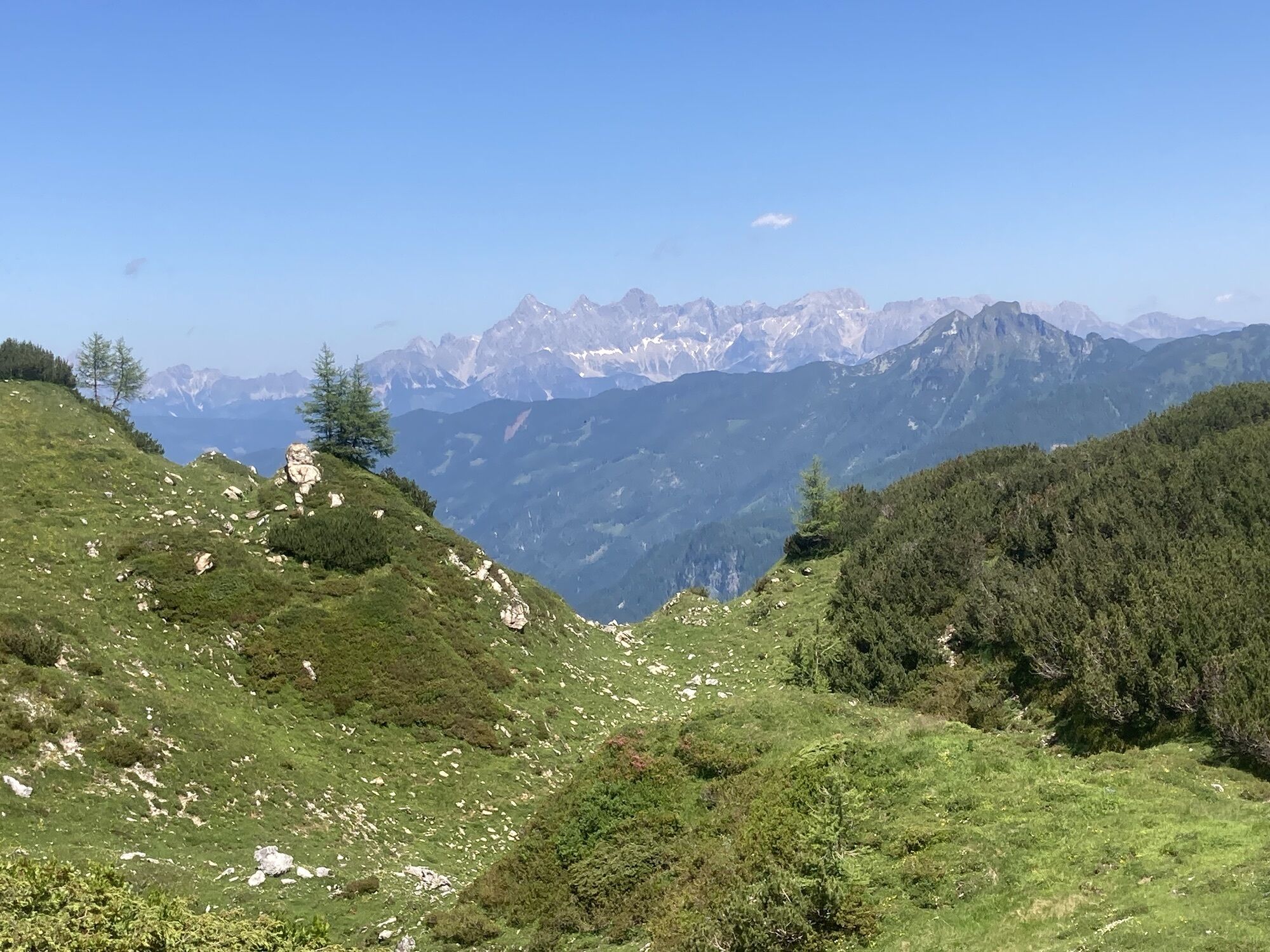
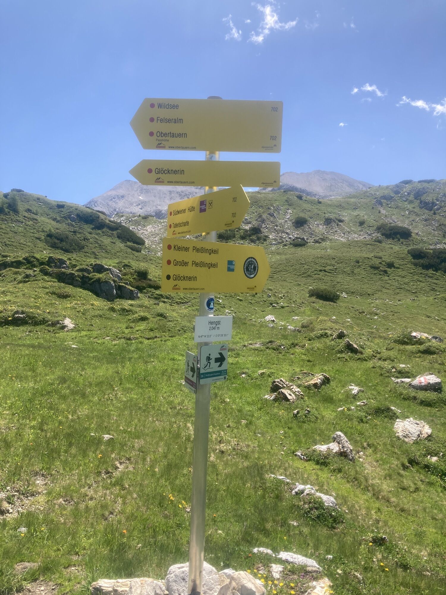
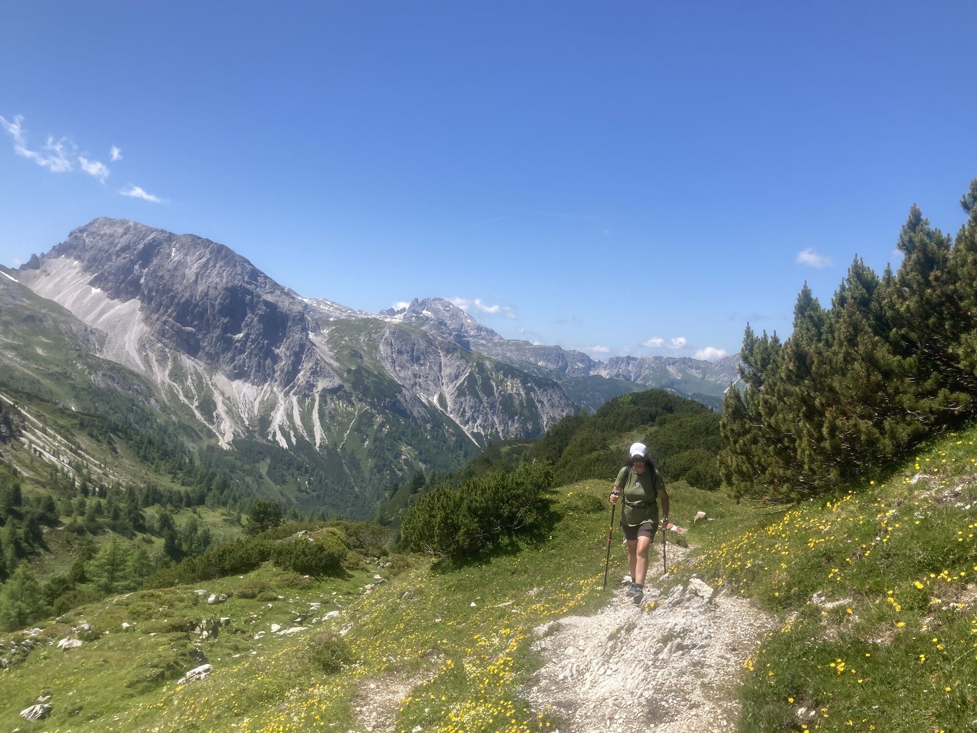
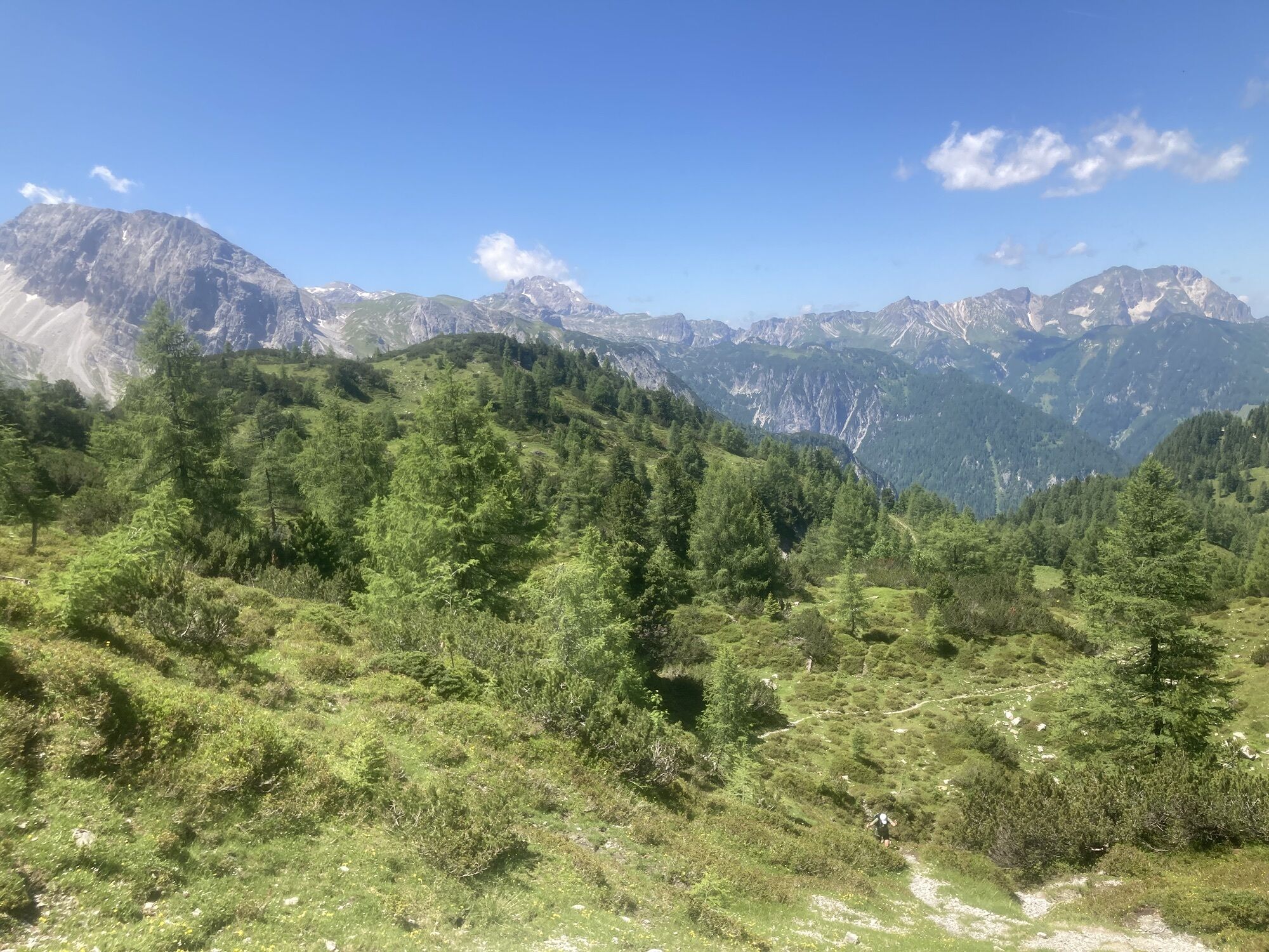
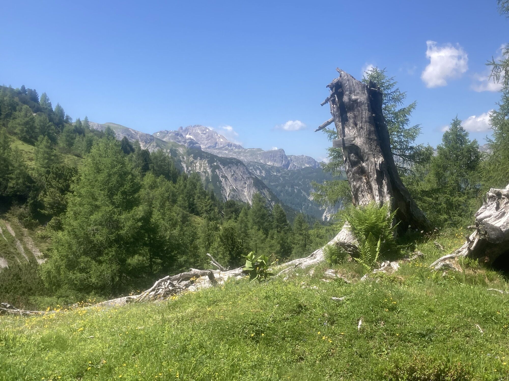
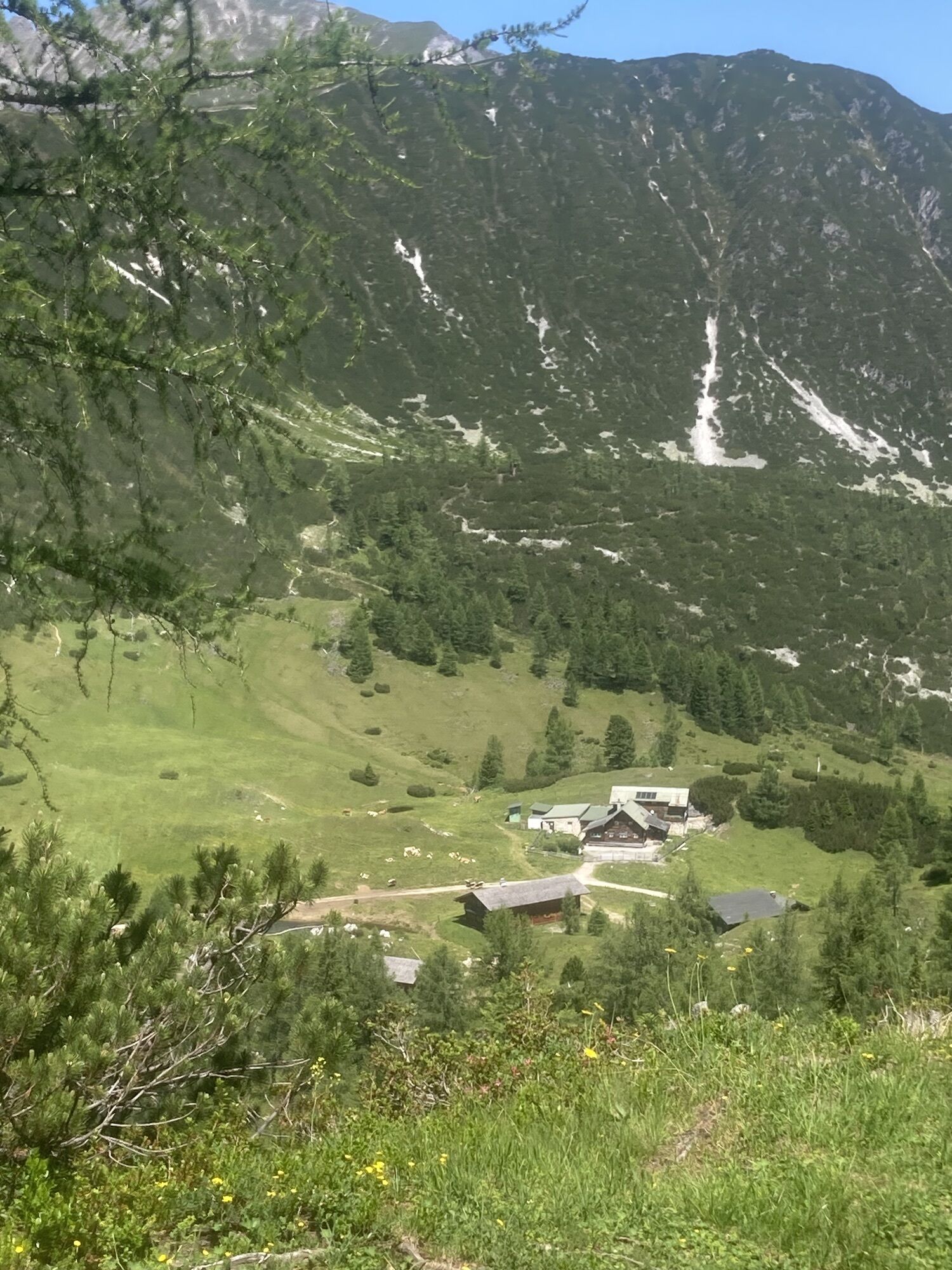

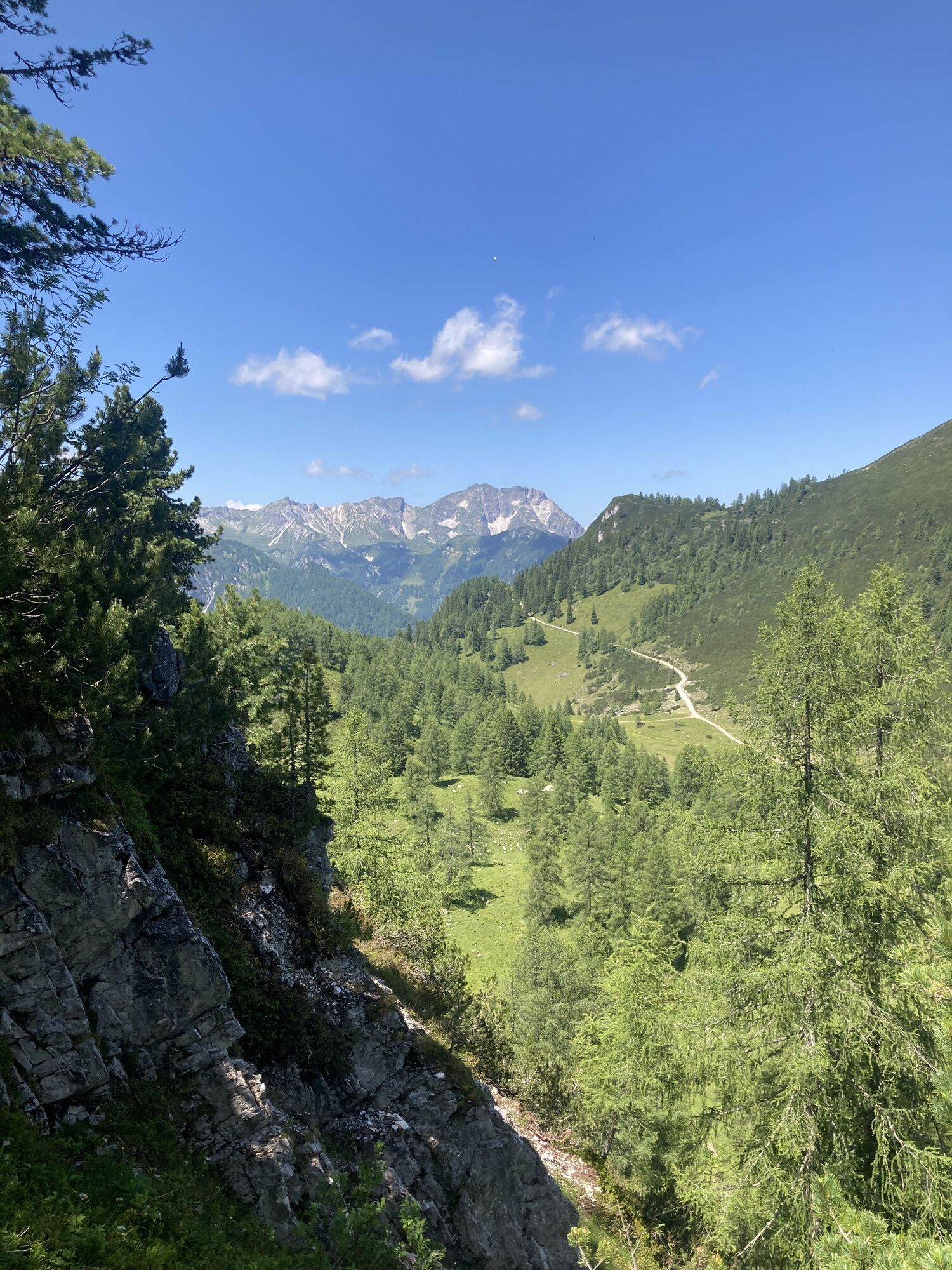
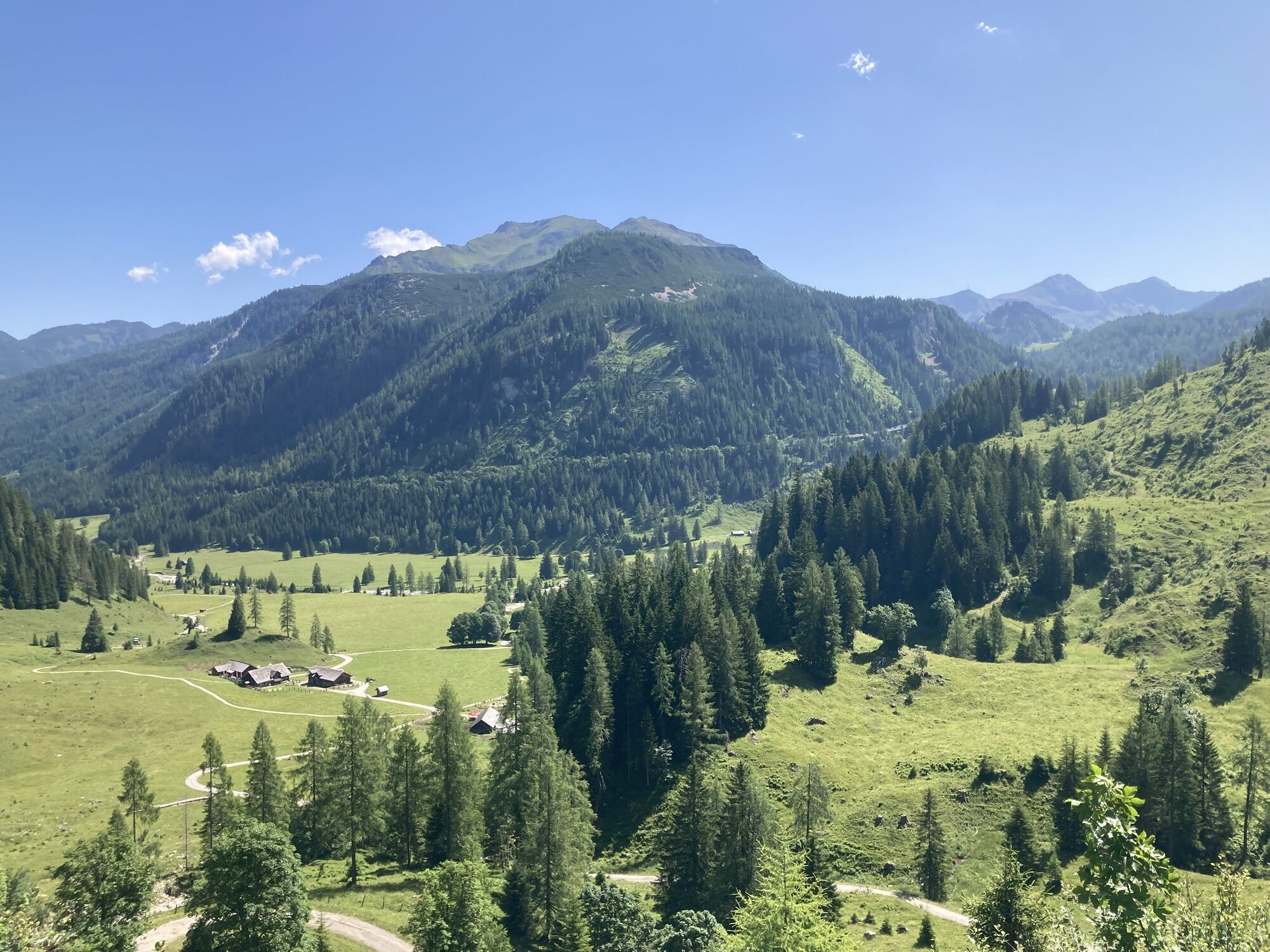

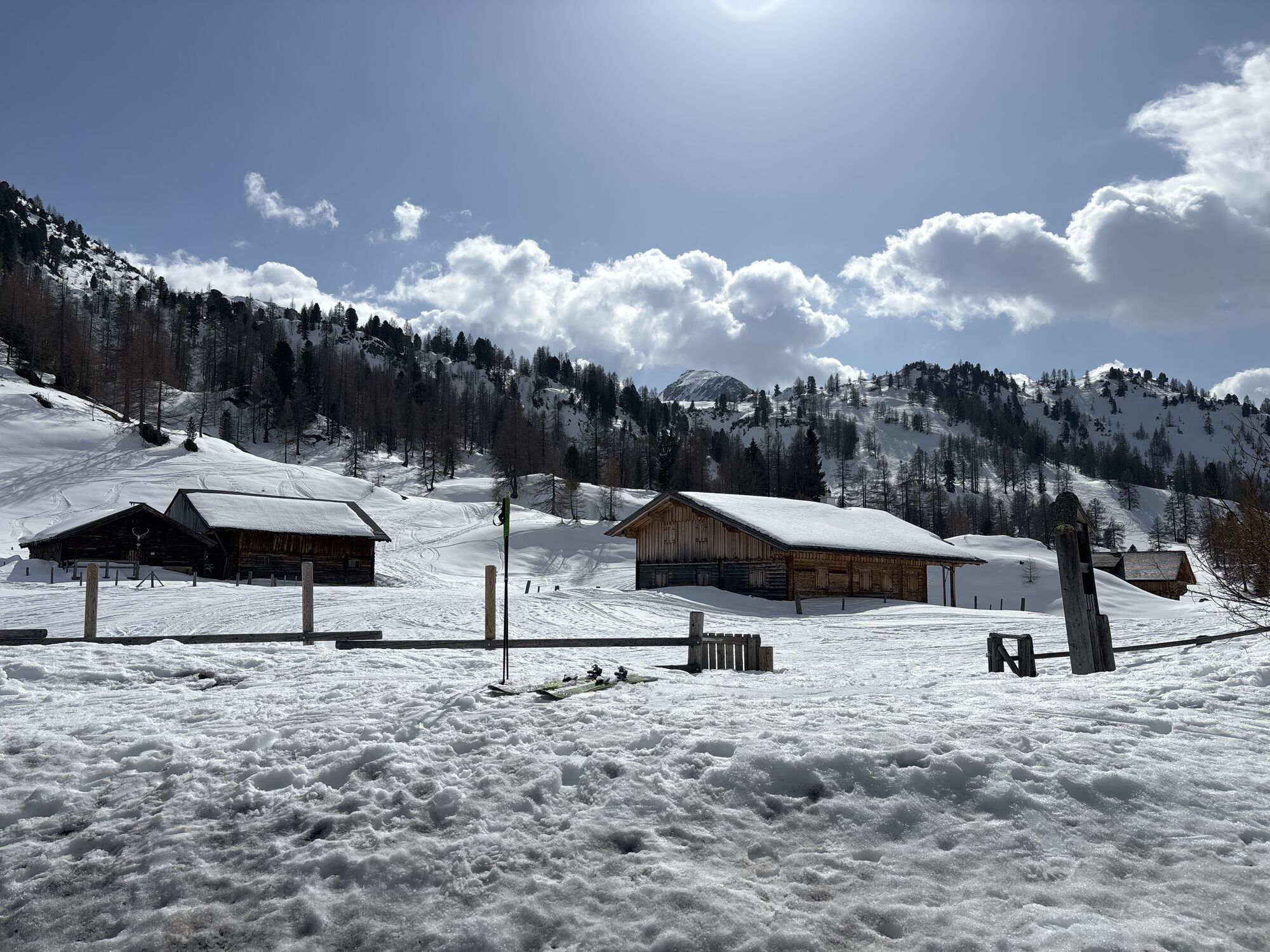
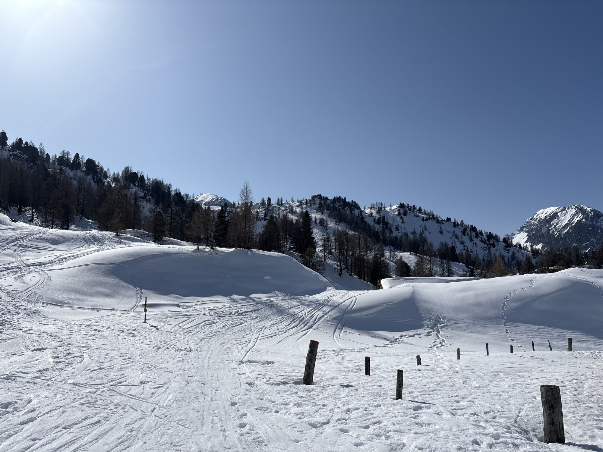
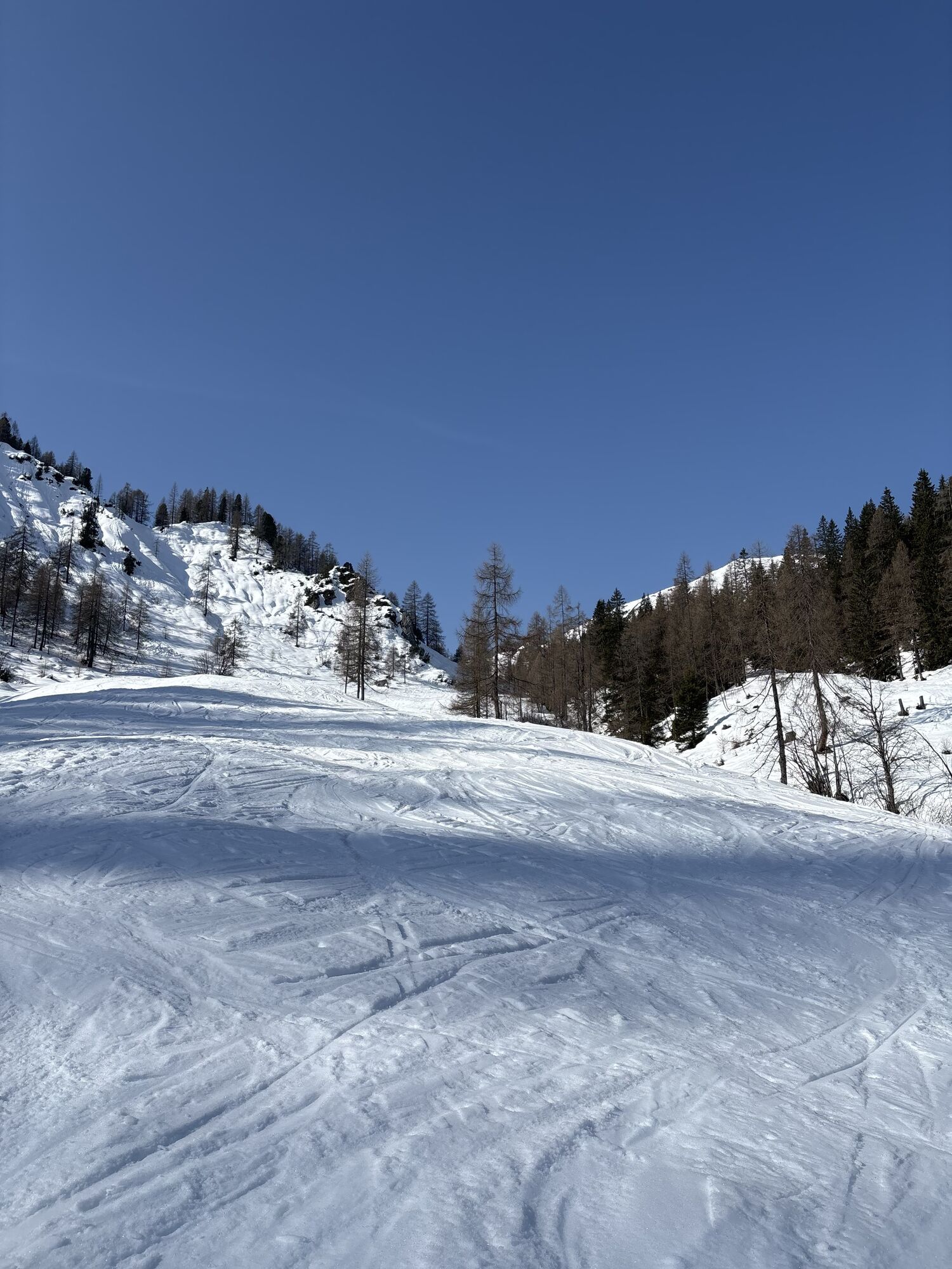
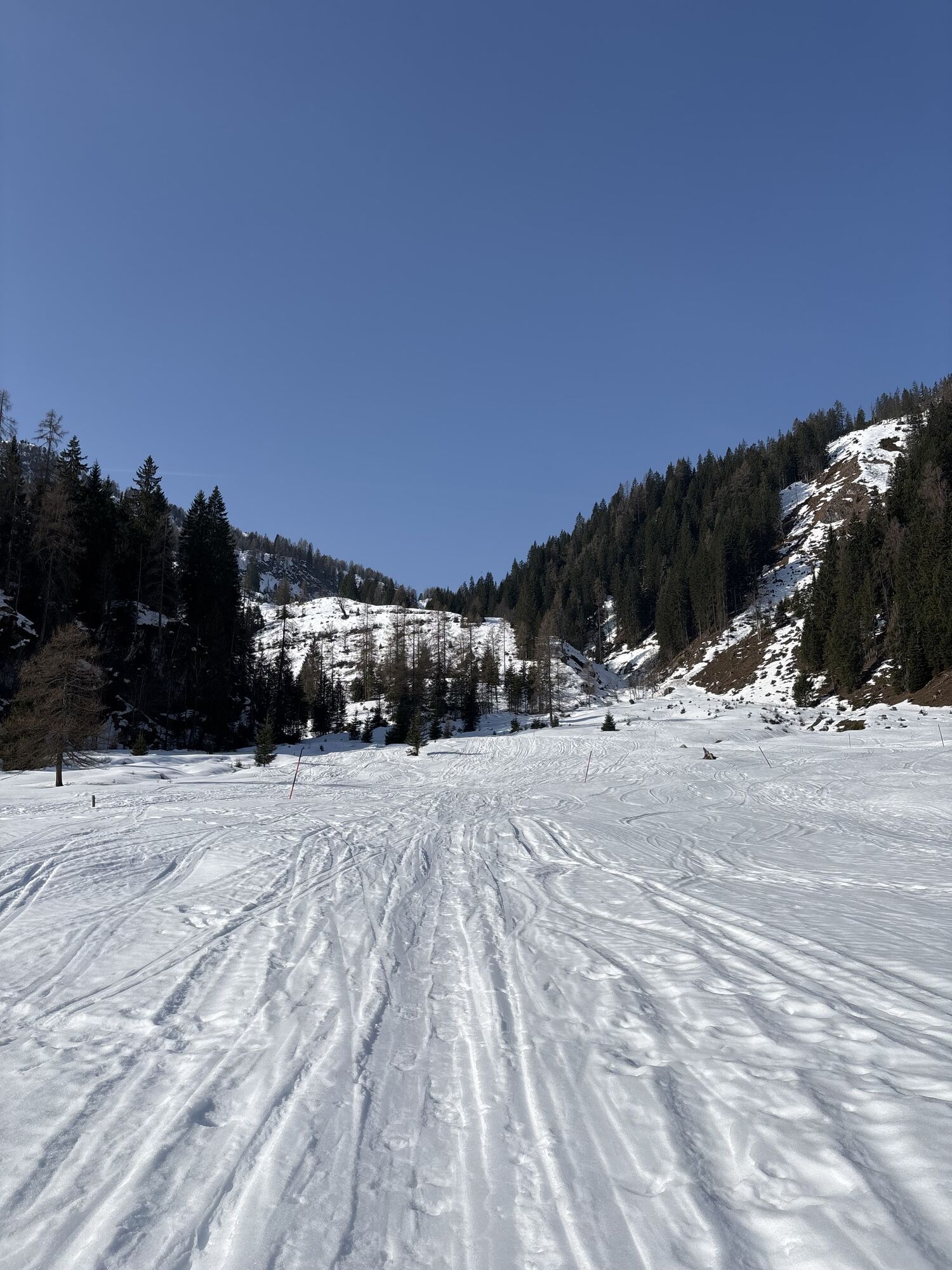
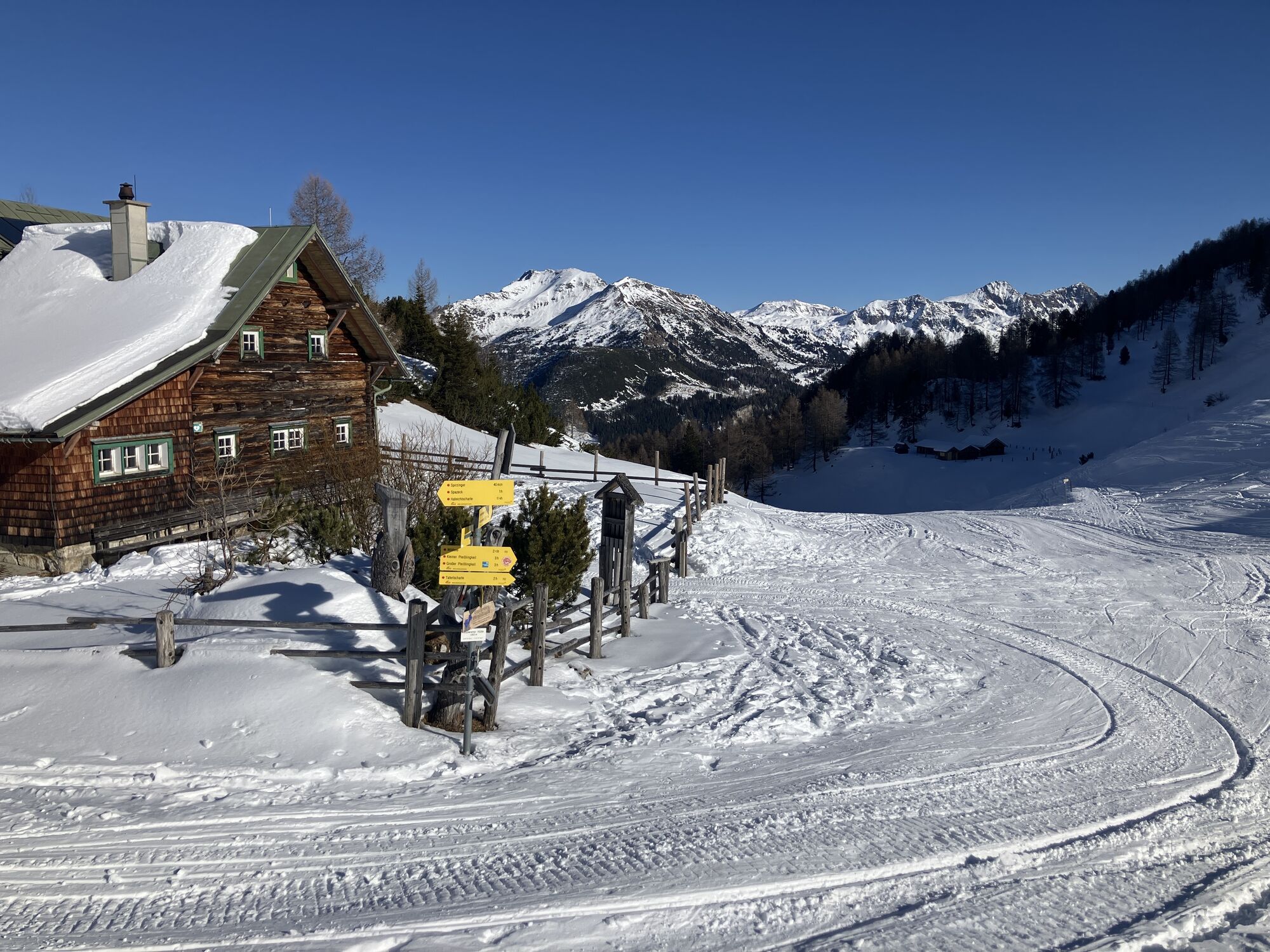
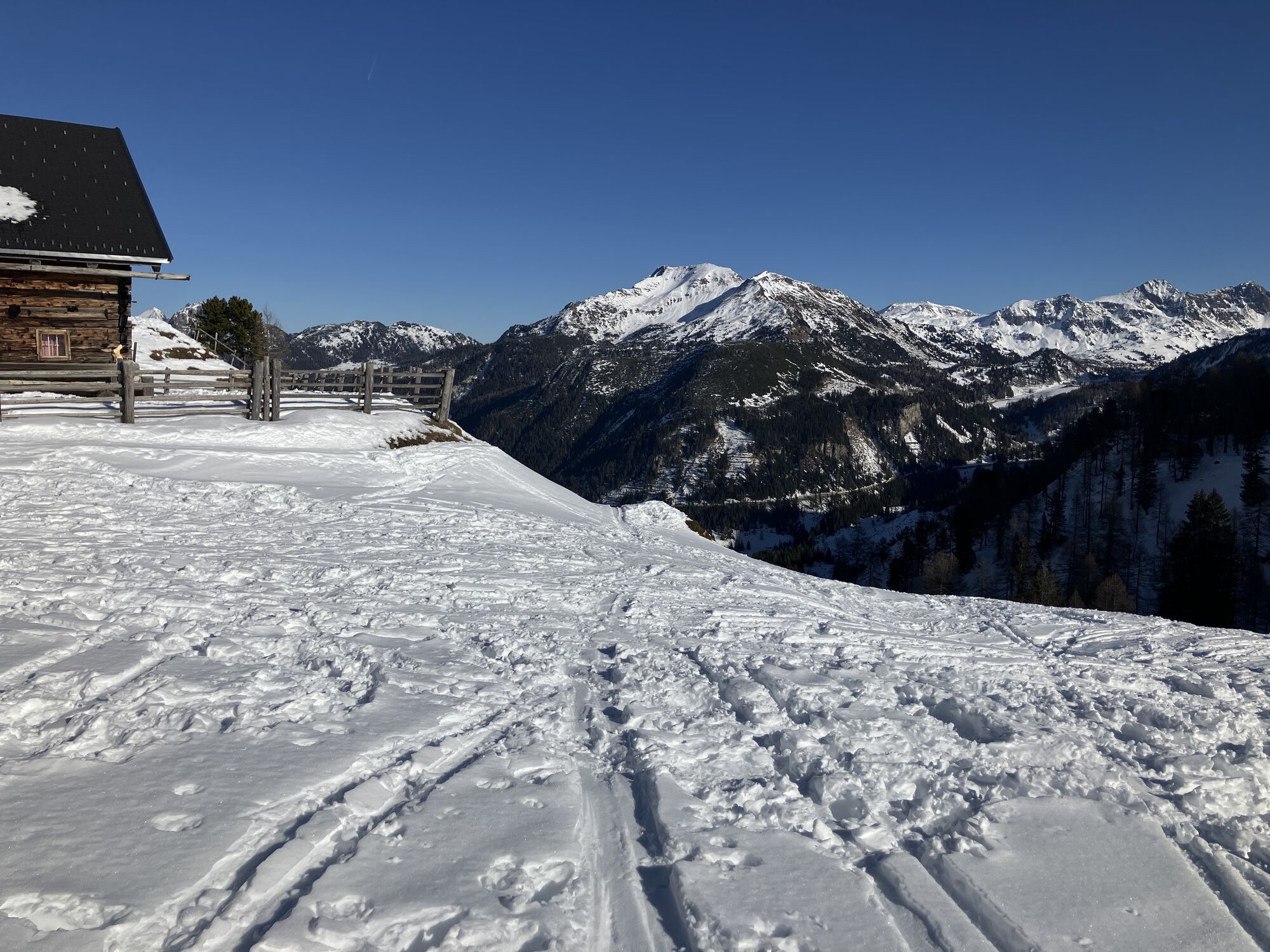
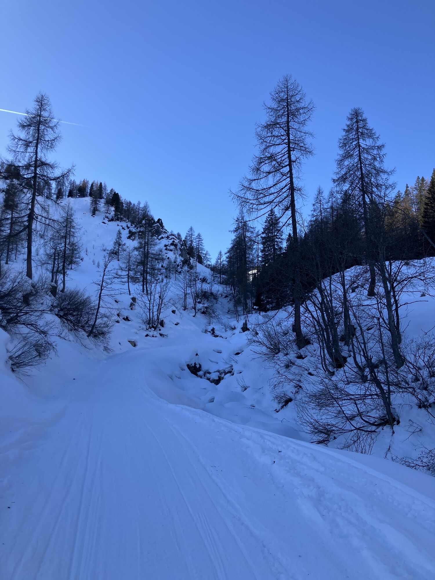
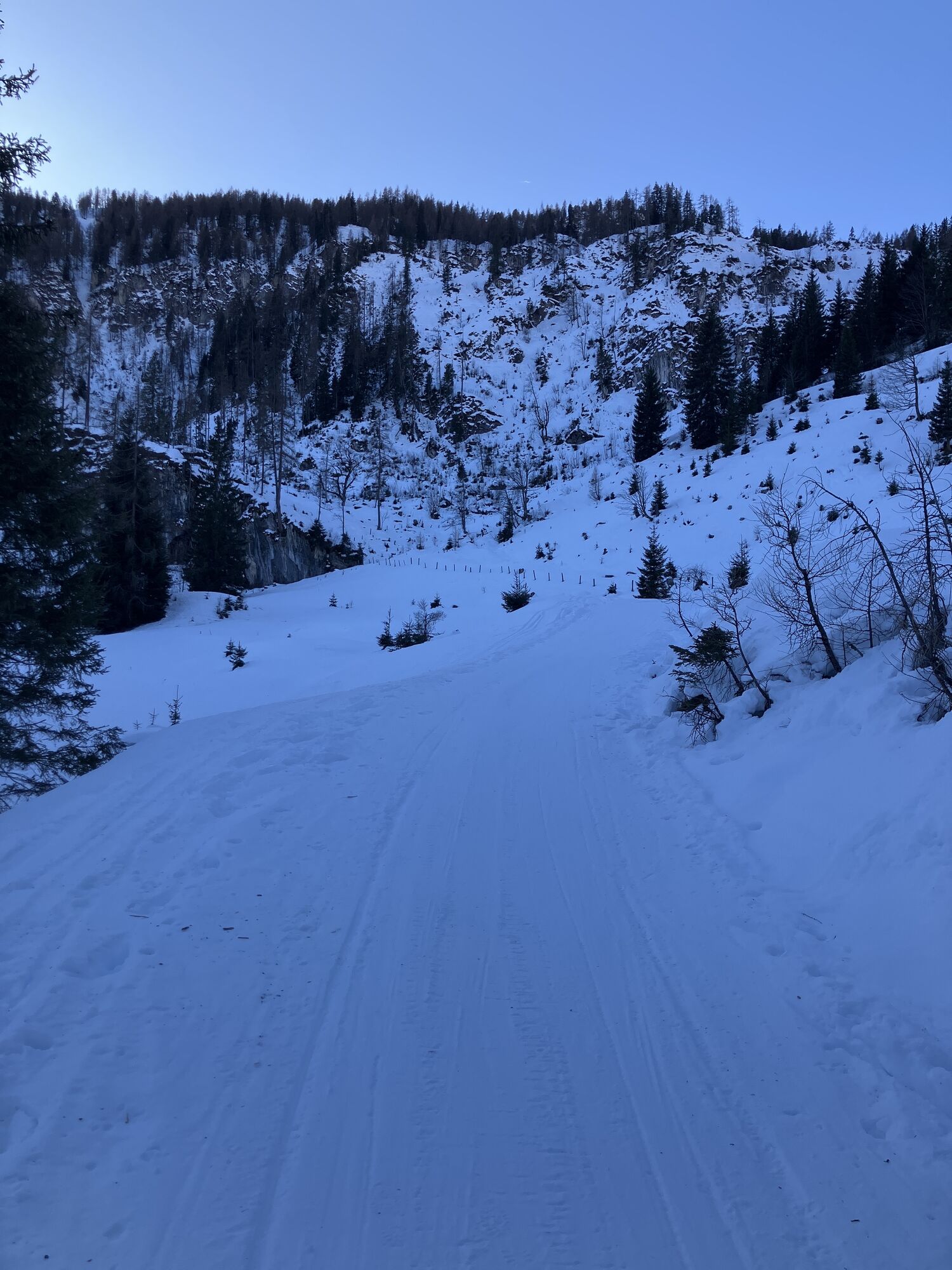
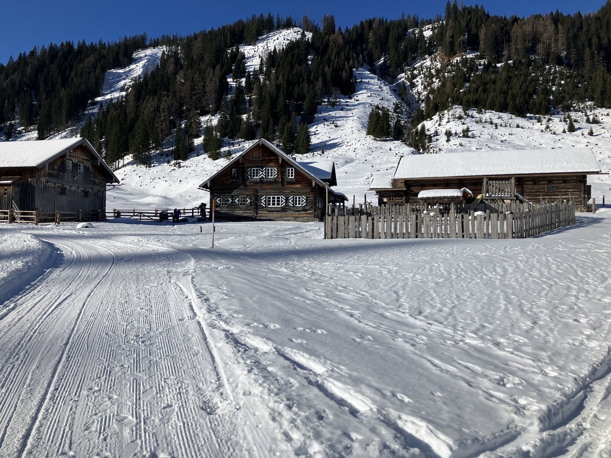
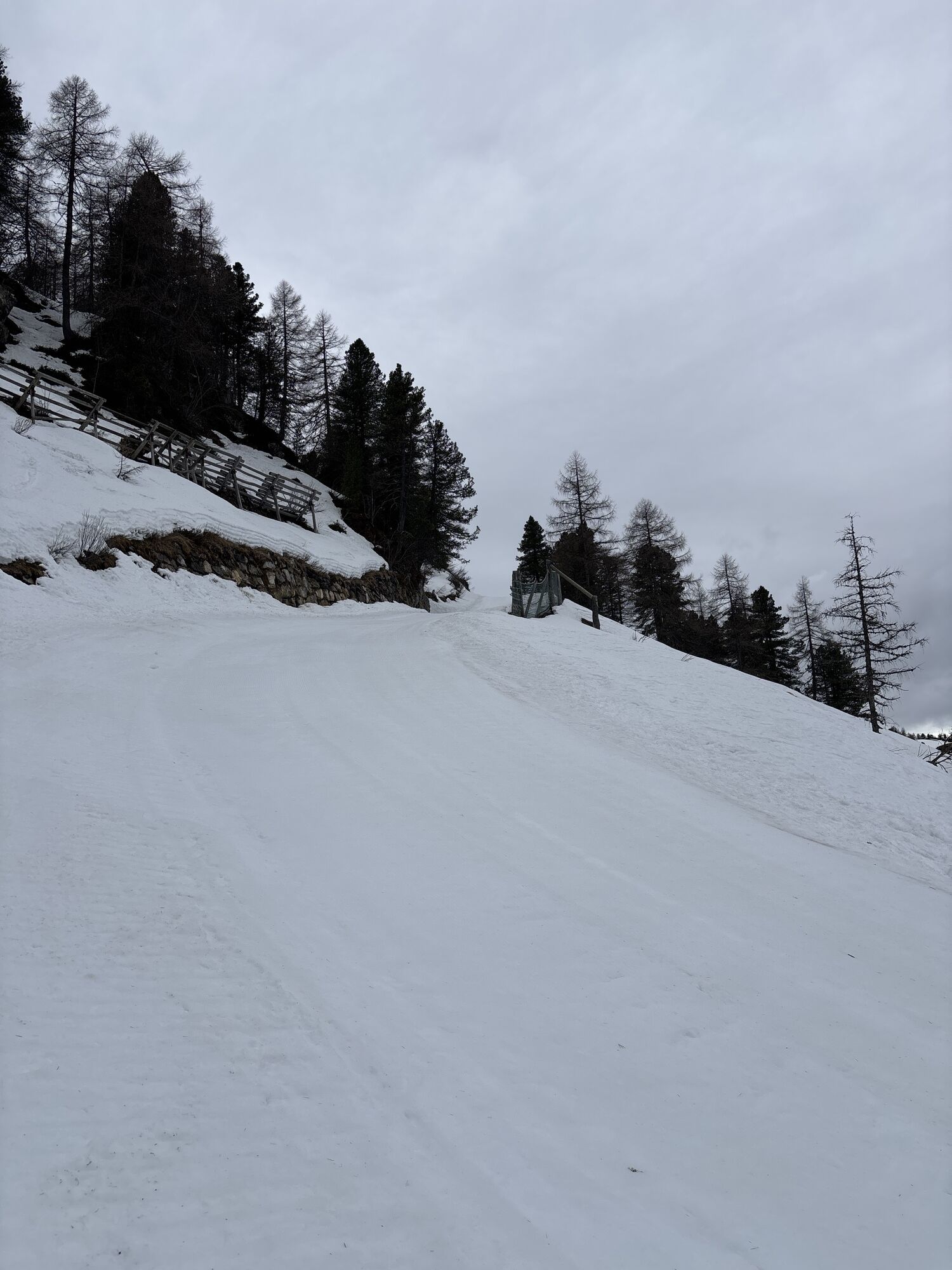
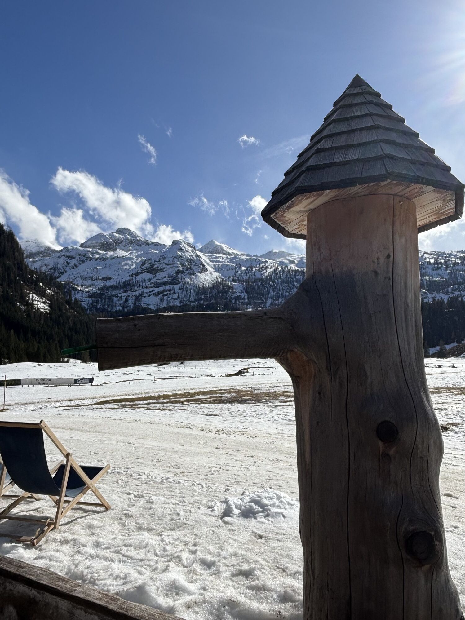

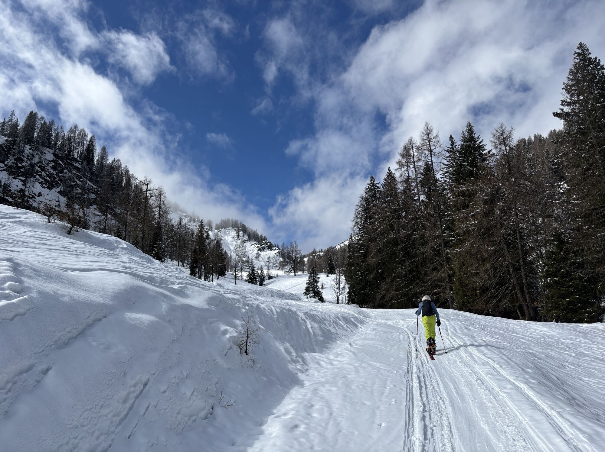

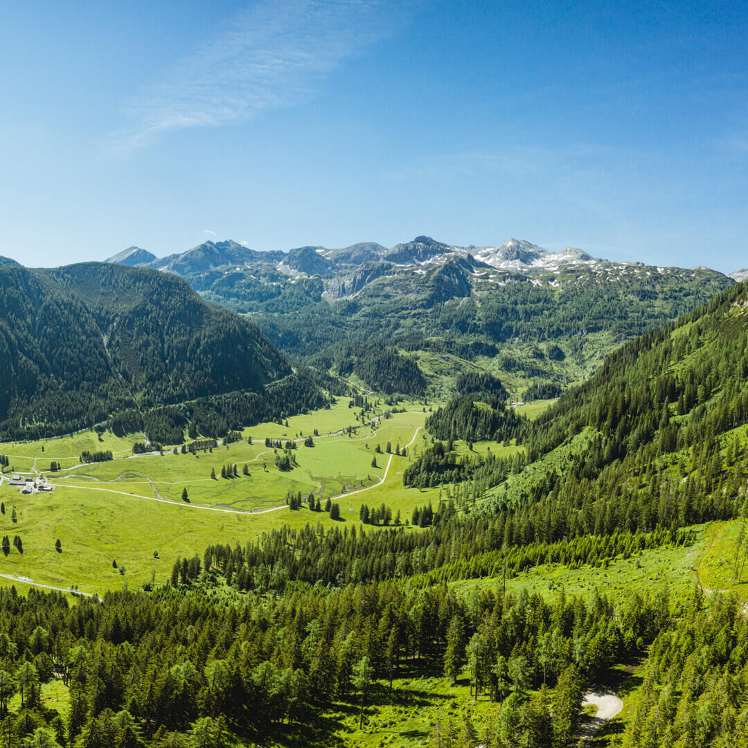


This varied route starts directly in Obertauern and leads along the scenic high-level path up to the panoramic summit of the Hengst (2,078 m). The steady ascent is rewarded with wide views over the Tauern mountains – a perfect place for a short break.
From the summit, it continues down a well-marked trail to the Südwiener Hut (1,800 m).
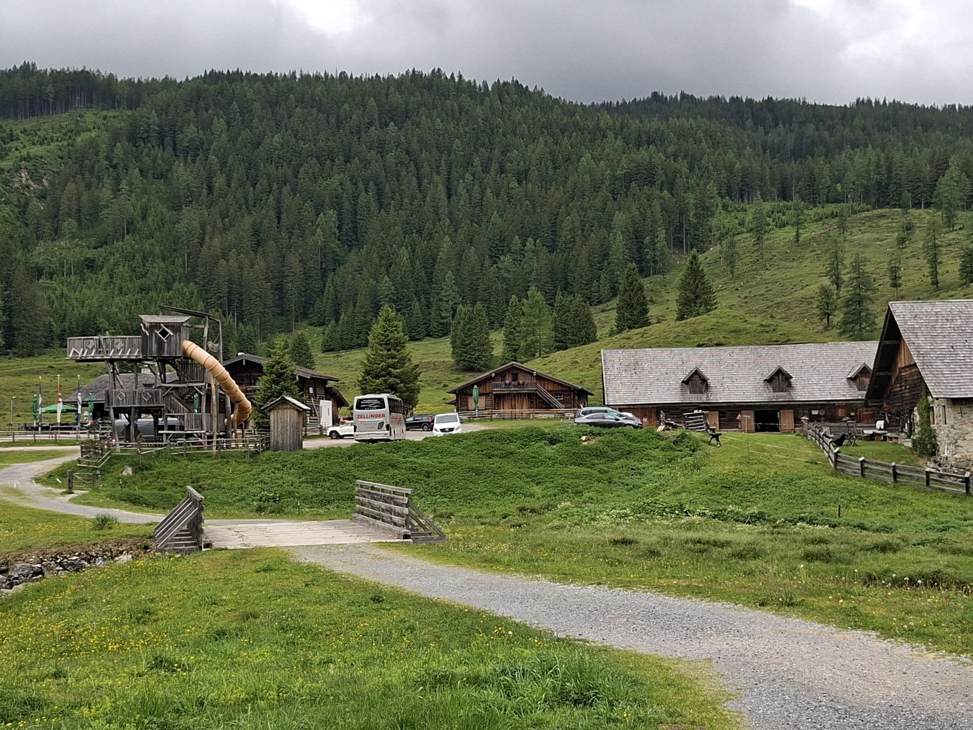
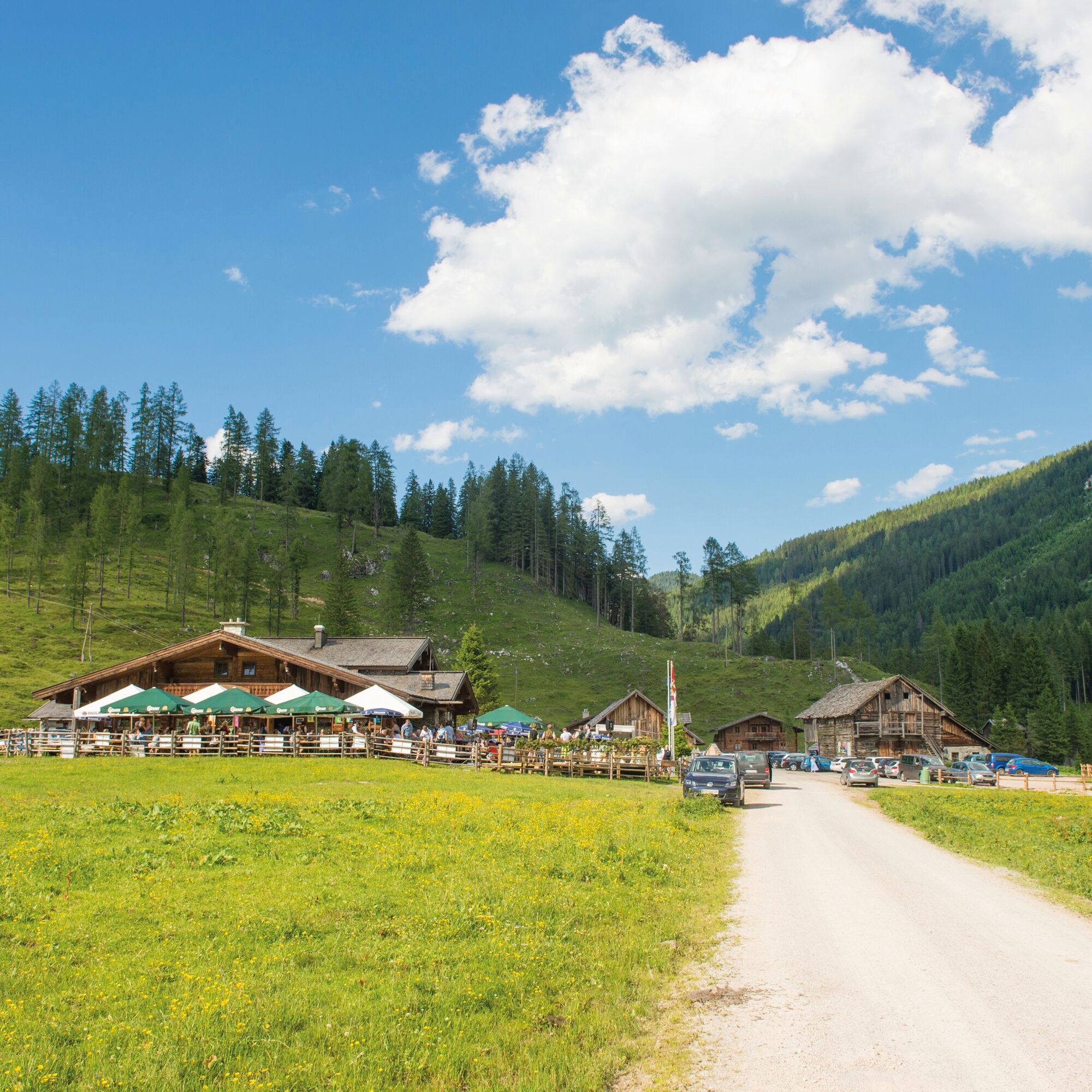
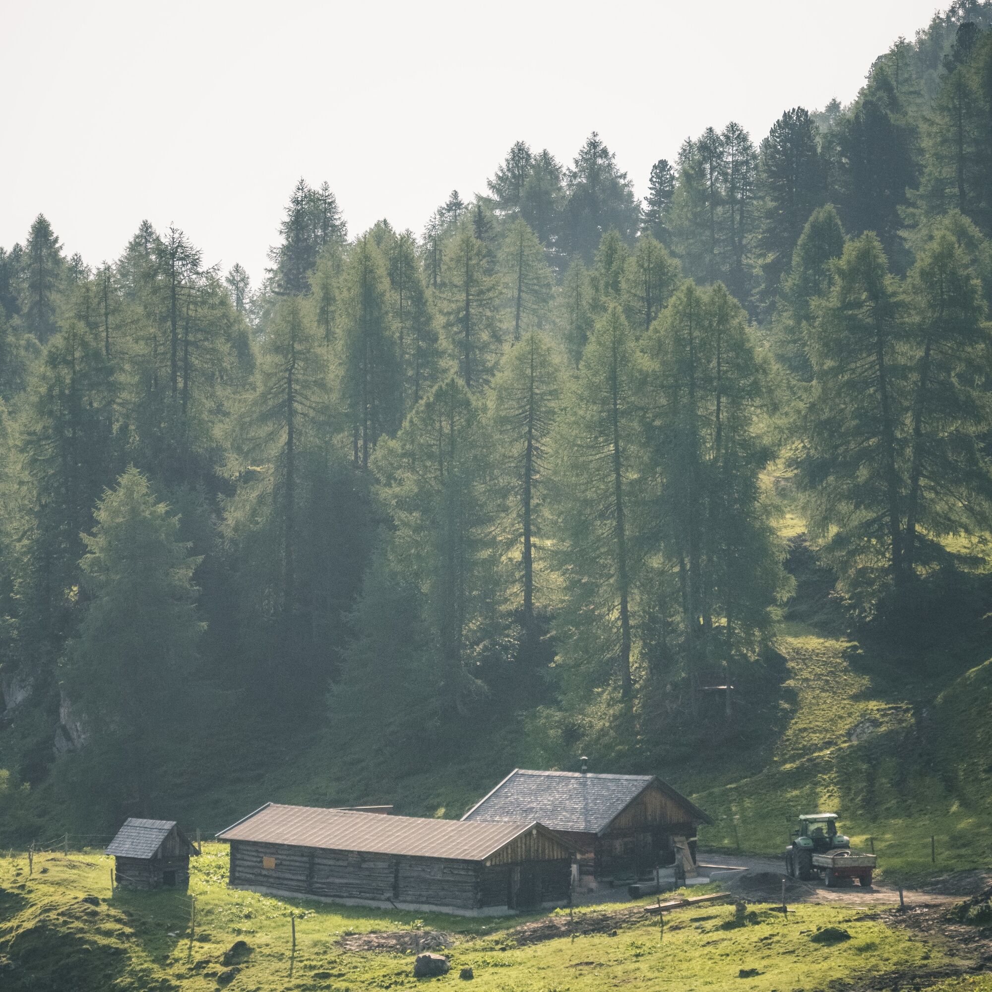
The last section leads leisurely over alpine meadows and through light forest down to the Gnadenalm, where the route ends. From there, there are bus connections back to Obertauern or individual pick-up options.
Our tips for optimal equipment: good footwear, a comfortable backpack, weatherproof clothing in layers, sufficient sun protection, and enough to drink – this way you are well prepared for your hike.
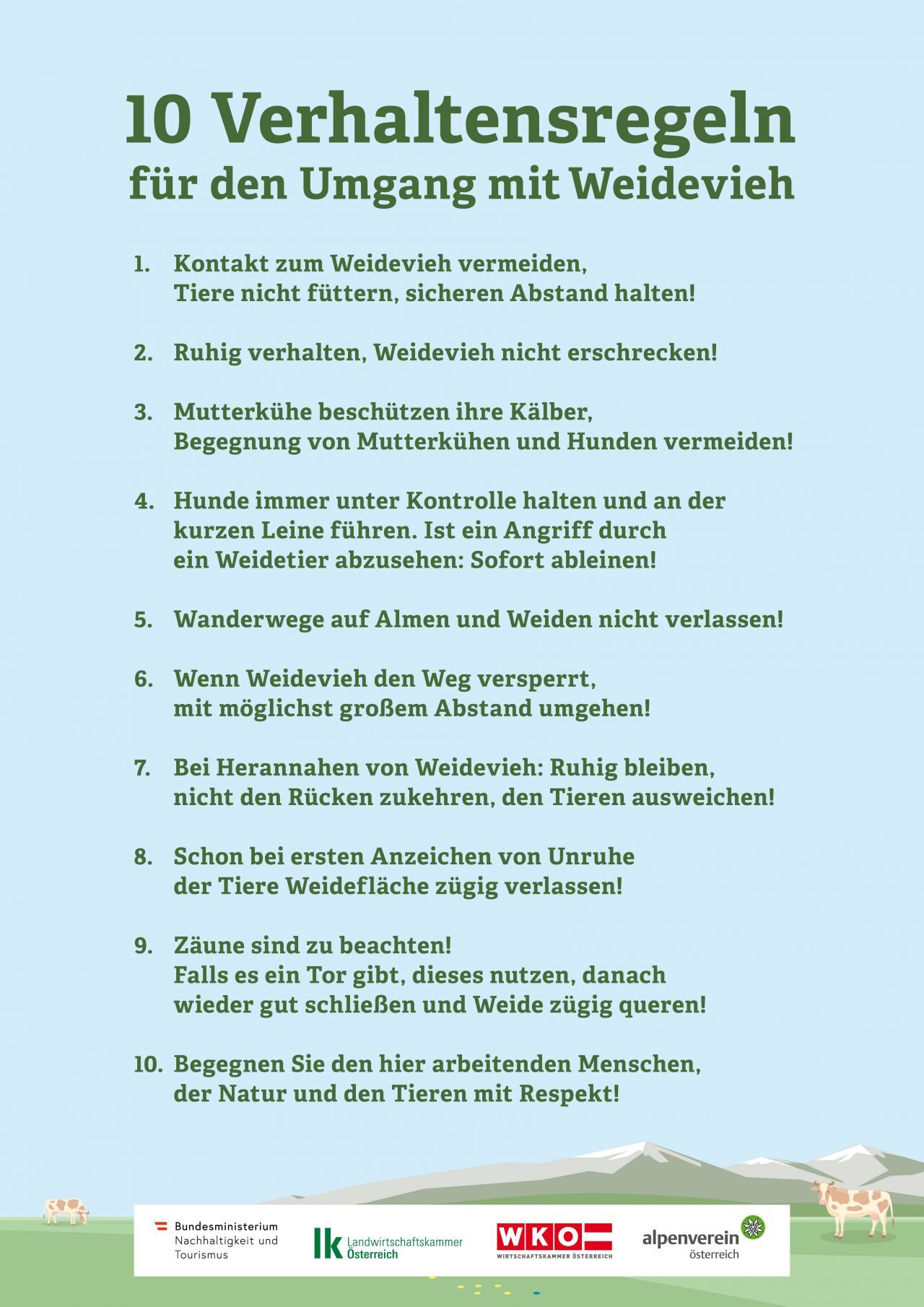
There are no safety instructions to observe.
TIP: If you want to arrive by public transport, the Postbus line 280 stops directly in Obertauern.
Summer cable cars in Obertauern
Walking times calculated according to Alpine Club guidelines: DAV calculator
Visit to the Gnadenalm and return by bus

Kamery internetowe z trasy
-
Gamskogelhütte
-
Plattenkar
-
Gnadenalm
-
Grünwaldkopf
-
Zehnerkar
-
Seekar
-
Sporthotel Snowwhite
-
Hotel Cinderella
-
Sonnenterasse Edelweissalm
-
Hotel Garni Gloria
-
Lürzeralm
-
Hotel Kesselspitze
-
Hotel Auerhahn - Obertauern
-
Hotel Schneider
-
Breitlehenalm
-
Zauchensee Weltcuparena
-
Gamsleiten
-
Zauchensee
-
Hochalmkopf
-
Zauchensee Weltcuparena
-
Zauchensee Weltcuparena
-
Zauchensee Weltcuparena
-
Zauchensee Weltcuparena
-
Zauchensee Weltcuparena
-
Obertauern - Haus Petergstamm
-
Zauchensee - Hotel Alpenhof
-
Seekarhaus - Obertauern
-
Seekarhaus - Bergstation Seekarspitzbahn
-
Zauchensee - Rosskopf
-
Seekarhaus 3
-
Schaidberg
-
Zehnerkar
-
Obertauern - Aparthotel Weninger Alm
-
Obertauern - Hundskogel
-
Obertauern - Gamsleiten
-
Hotel “Der Sailer”
-
Gamsleiten
Uzyskaj wgląd
Zawsze na żywo z ponad 9 500 kamer internetowych. bergfex Jako użytkownik Pro, możesz teraz zobaczyć odpowiednie kamery internetowe dla wielu wycieczek w aplikacji wycieczki od. Pozwala to na bezpośredni podgląd aktualnych warunków.
Popularne wycieczki w okolicy
-
4,9
Rundwanderweg von der Fallhausalm und Vögeialm übers Klamml zur Oberhütte am See
średniWędrówka 10 km -
4,1
Tappenkarsee Kleinarl
średniWędrówka 9,11 km -
4,7
Ski route Lackenkogel
średniWycieczka narciarska 7,82 km -
5,0
Twengsee
średniWędrówka 9,66 km -
4,8
Obertauern to the Johannes Waterfall
średniWędrówka 9,39 km -
4,7
Reiteralmrunde
światłoWędrówka 5,71 km -
4,5
Ursprungalm - Hochwurzen
średniWędrówka 9,37 km -
4,5
Mosermandl Windischscharte, Salzburger Land/Österreich
ciężkiWędrówka 14,6 km -
4,5
Tappenkarseehütte von Schwabalm
światłoWędrówka 5,04 km -
4,4
Uralm - Giglachsee
światłoWędrówka 7,70 km
Wędrówki i tropienie


Nie przegap ofert i inspiracji na następne wakacje
Twój adres e-mail została dodana do listy mailingowej.





